
Pinnacles National Park
|
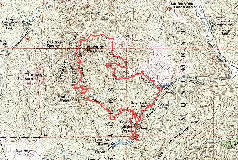
High Peaks Loop Pinnacles National Park |
January 24, 2014
This is my first hike in this park. Knowing that it will be very
dry and nothing will be green yet, I have come here early anyway in order to
avoid the later-season heat. It is quite overcast today, so any
photographs rate to suffer somewhat.
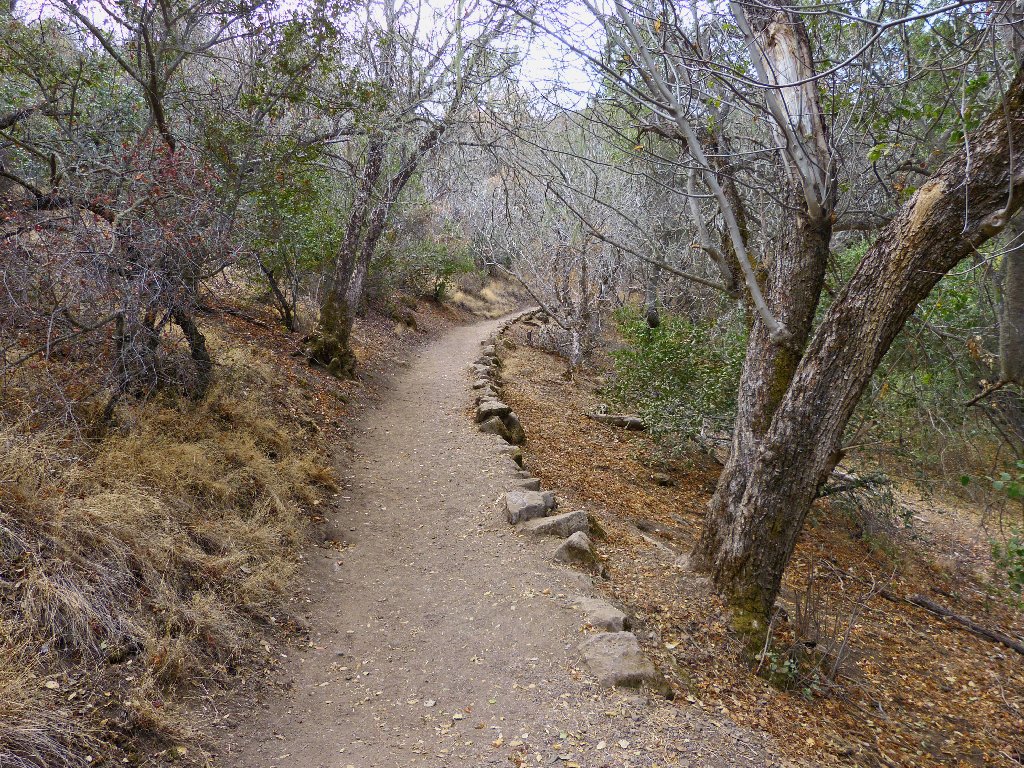
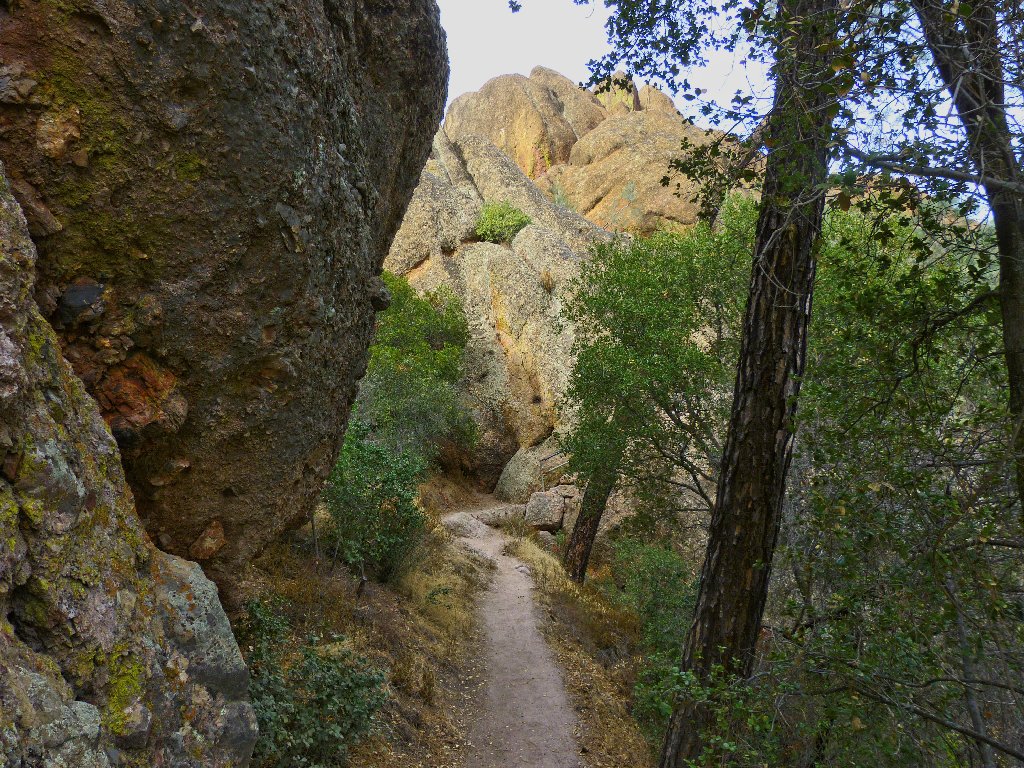
Start of the walk
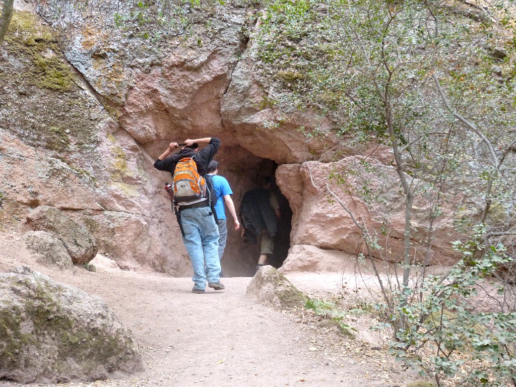
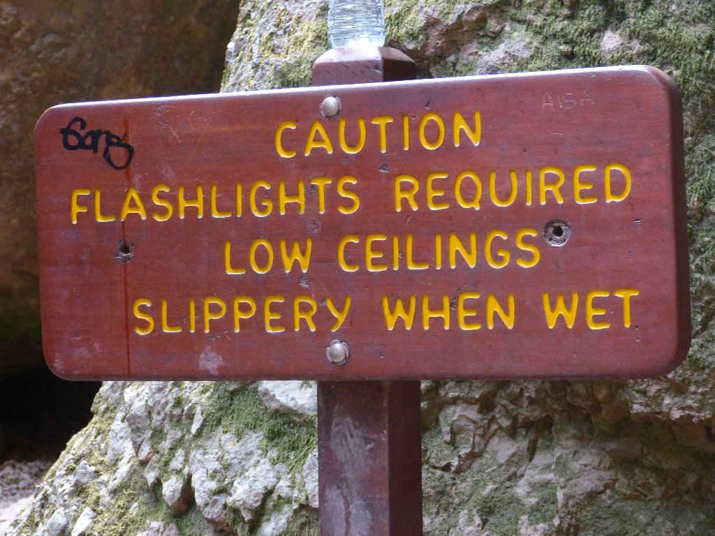
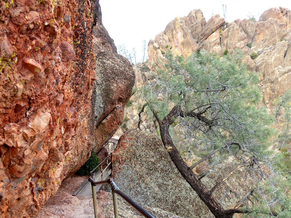
Shortly up the way is an option to venture through the Bear Gulch Cave, for which a flashlight is required equipment.
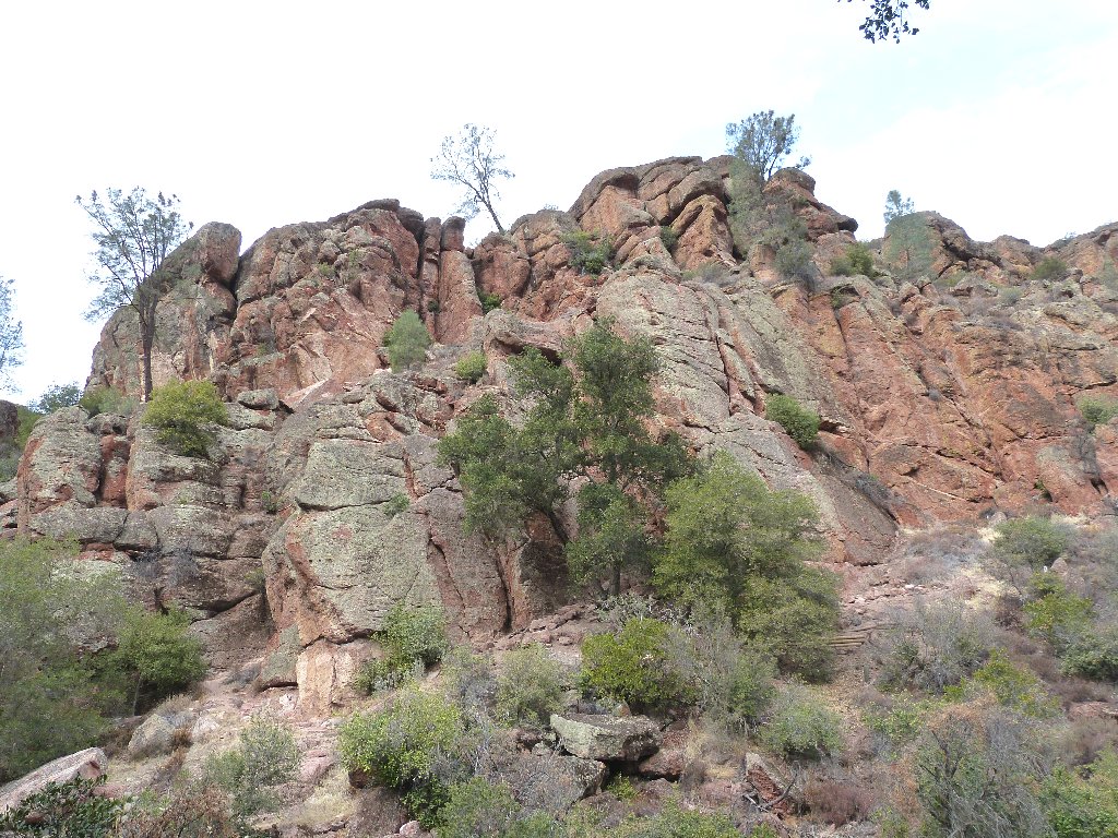
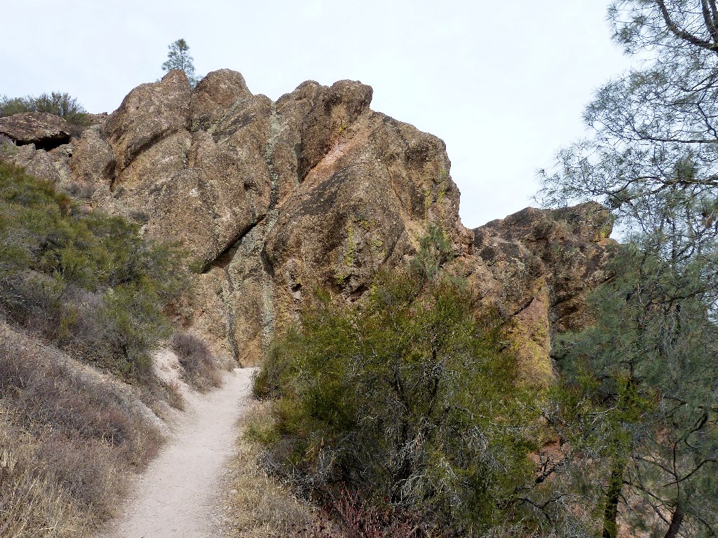
Approaching the rocks
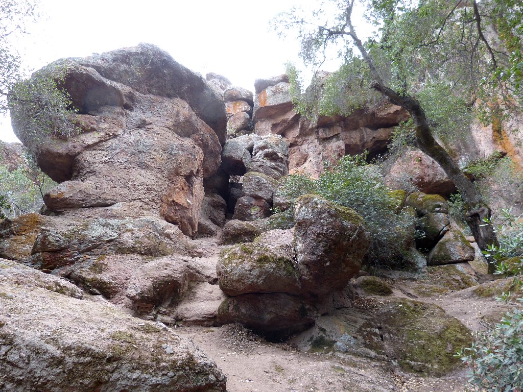
Is this the cave entrance?
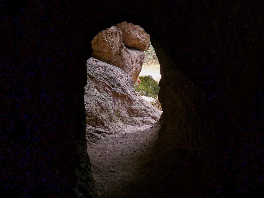
Nope.
My headlamp is ready
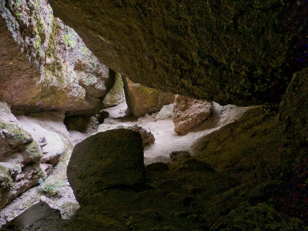
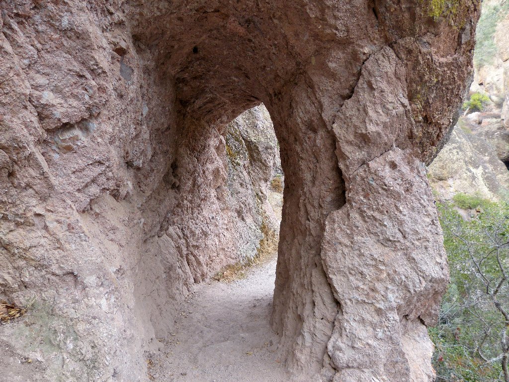
The cave entrance
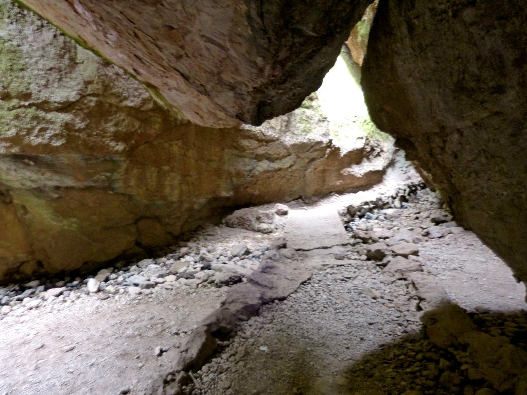
This place actually isn't so much a traditional cave at all, but a dark passageway underneath a lot of giant volcanic boulders. A thriving bat colony does reside here, though.
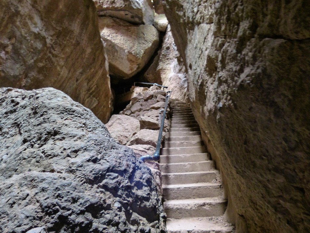
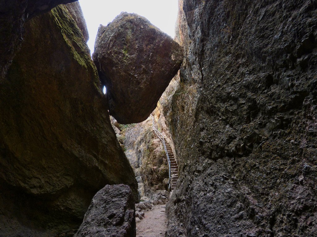
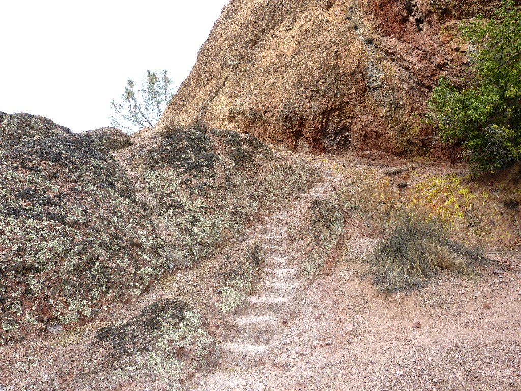
Nice stairs
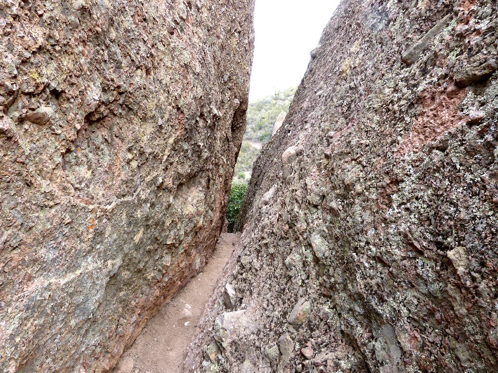
One section is pretty dark, but if necessary it could be traversed without
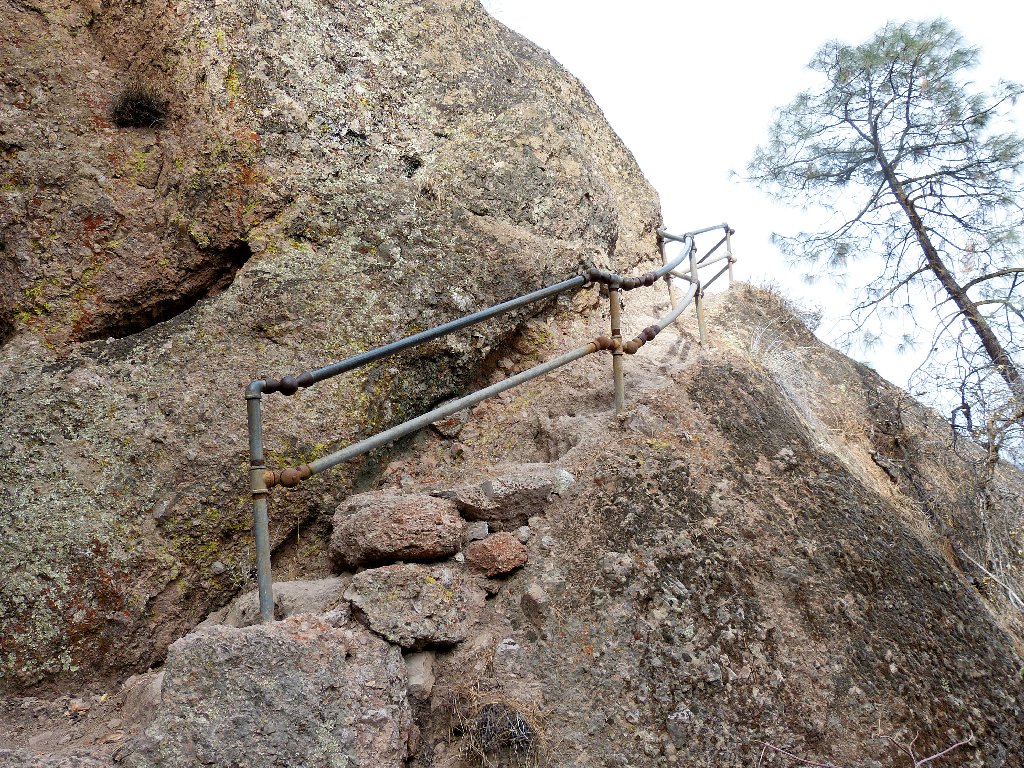
the required flashlight. The whole experience would not be possible,
however, without the man-made tunnels, stairways, and handrails.
More about that later.
A bit of mild scrambling is all that is necessary.
At the cave exit, a big boulder seems anxious to drop upon any visitor venturing
underneath it. This scene reminds me of the movie,
127 Hours.
Don't get your hand trapped underneath this one
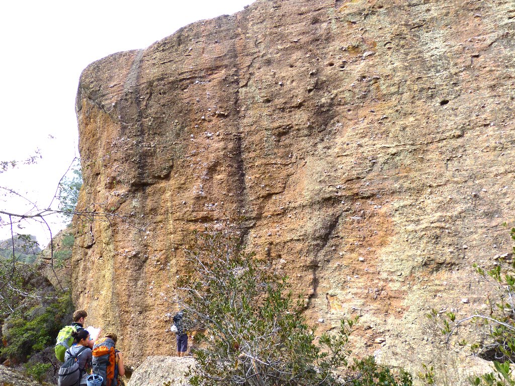
Are they contemplating a climb?
The ranger at the visitor center suggested that the reservoir was dry, but that is not the case. No water is flowing anywhere in the park, however. California's ongoing drought has now achieved record levels.
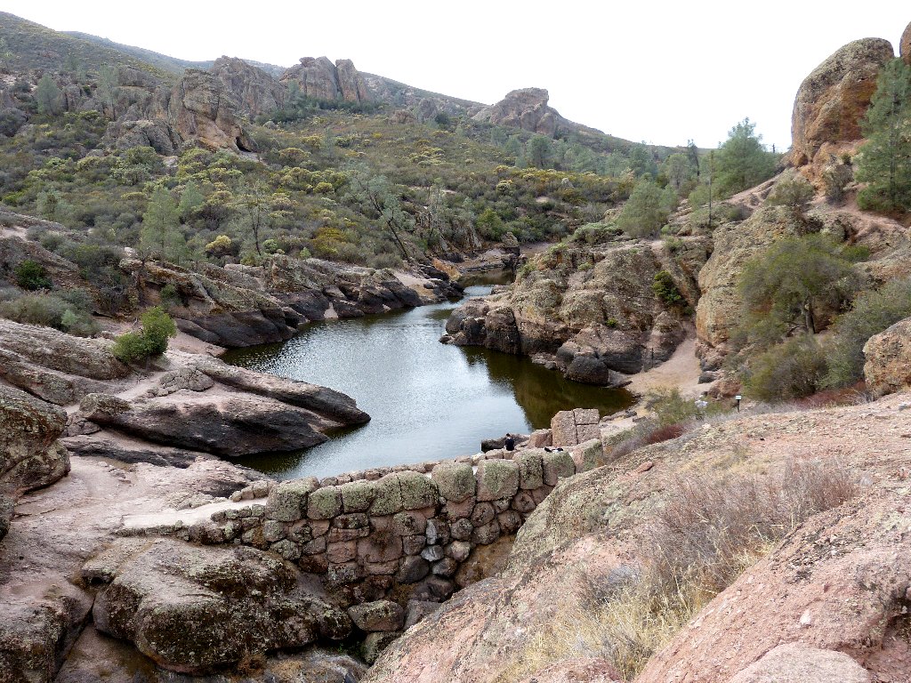
Bear Gulch Reservoir
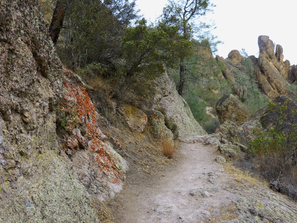
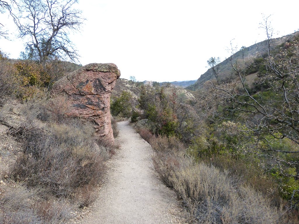
From here the trail leads gently but relentlessly up toward the pinnacles themselves.
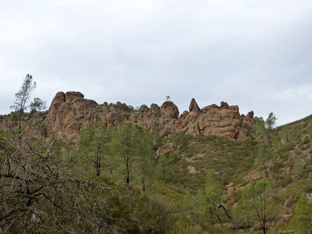
Not quite green
In 1908, Teddy Roosevelt set aside three national monuments in a single
week — Muir Woods, Grand Canyon, and Pinnacles. This one
was upgraded to National Park status just one year ago, which act affords it
more funding and greater protection. There have been many such upgrades
in the last decade.
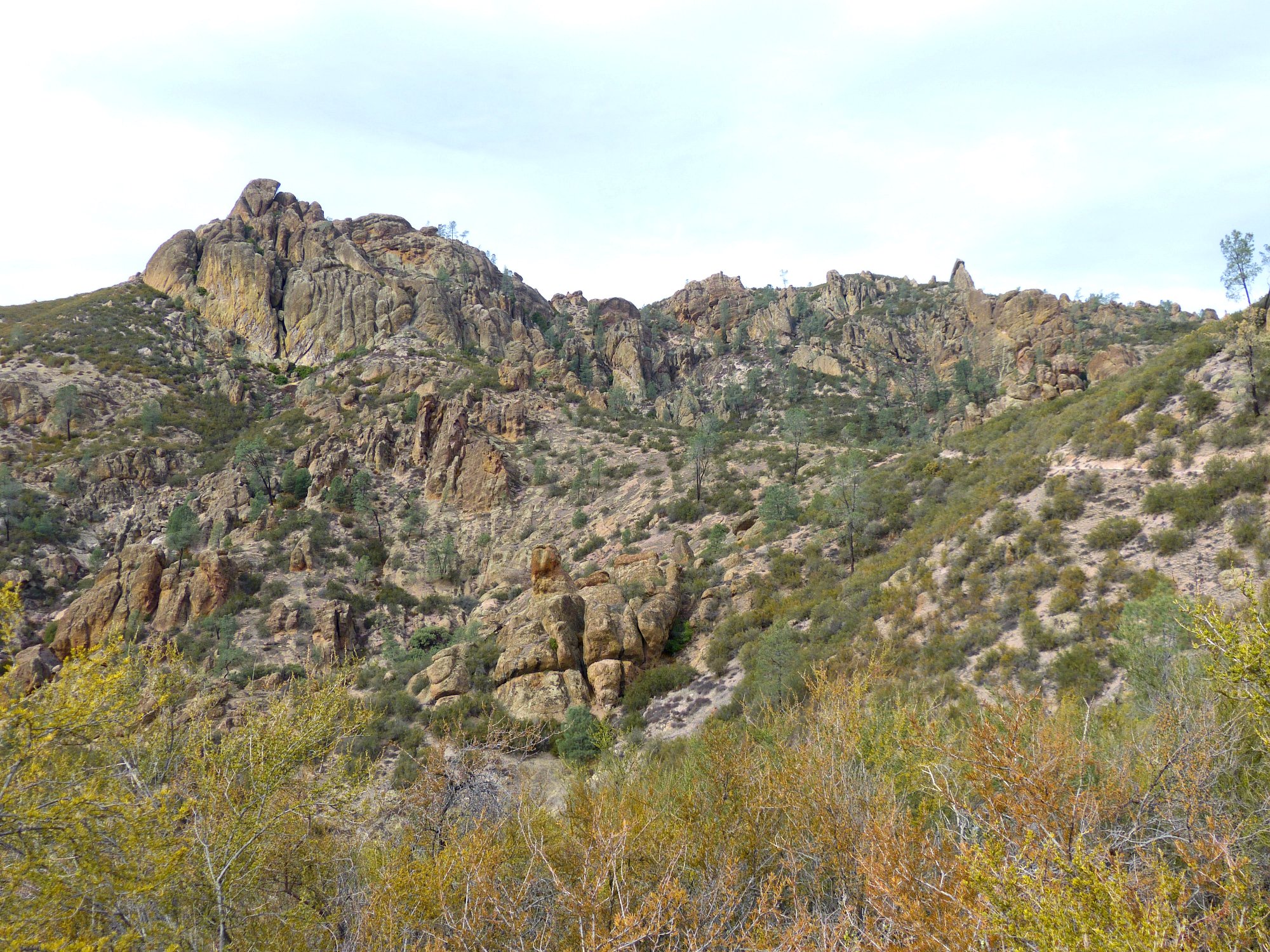
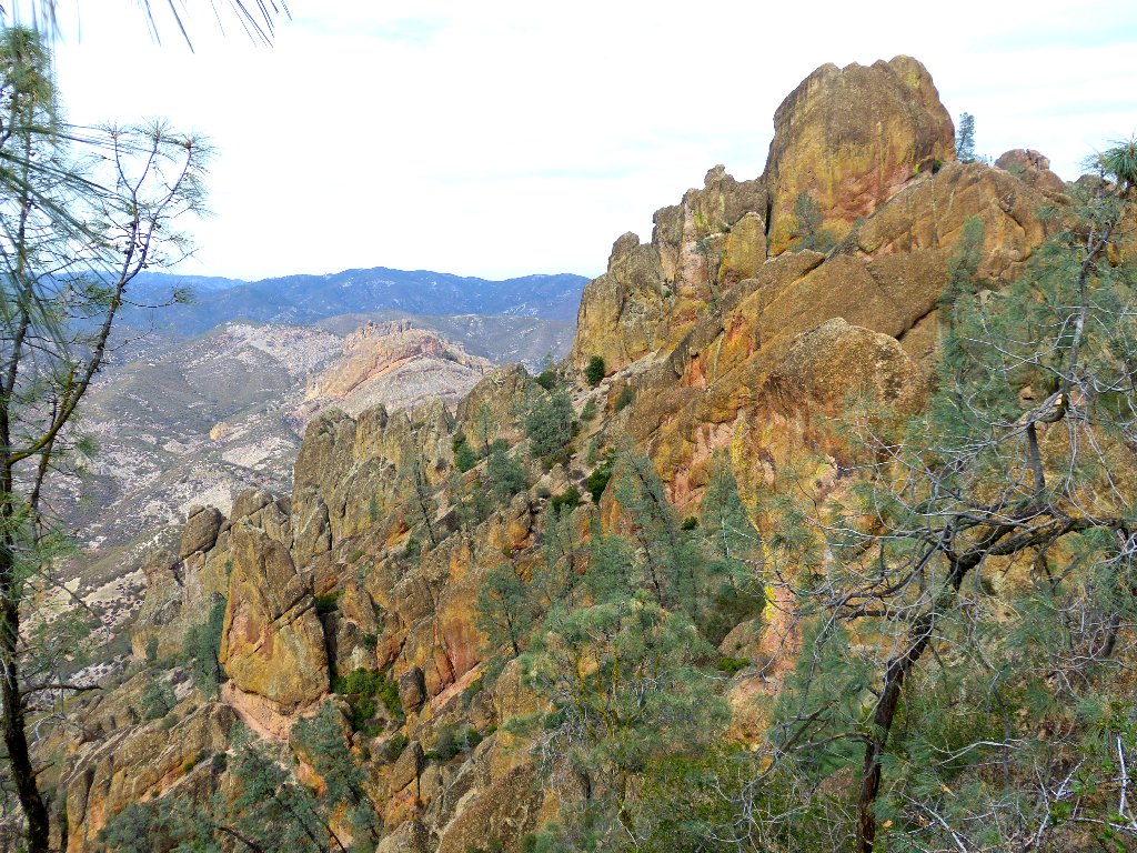
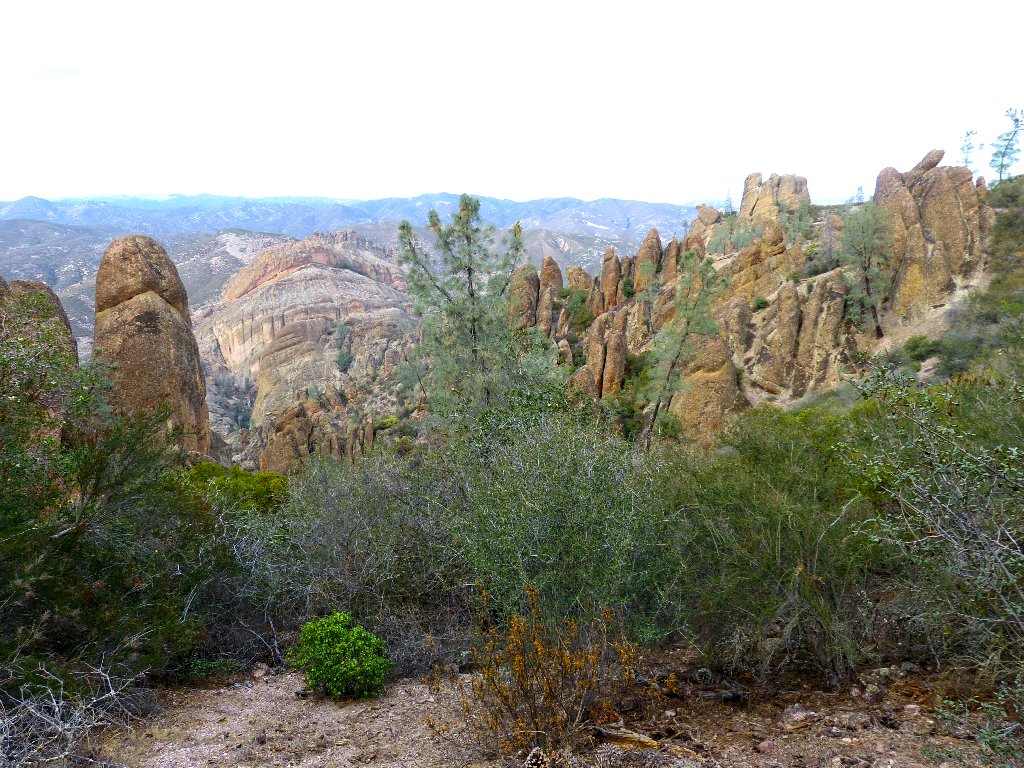
Trail switchbacks can be seen leading up to the right of
Scout Peak ⇔
A man-made tunnel reminiscent of Bryce Canyon
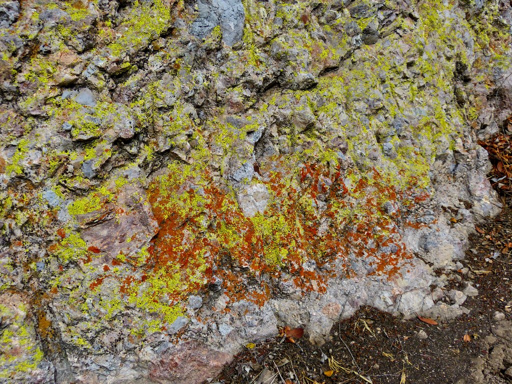
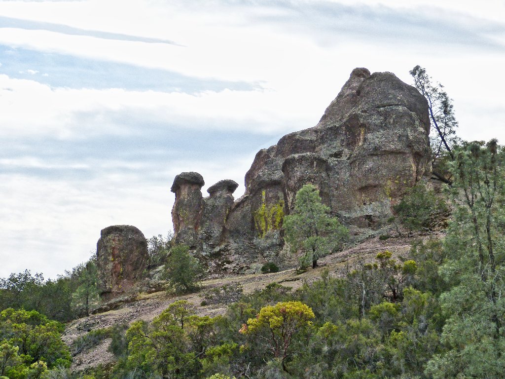
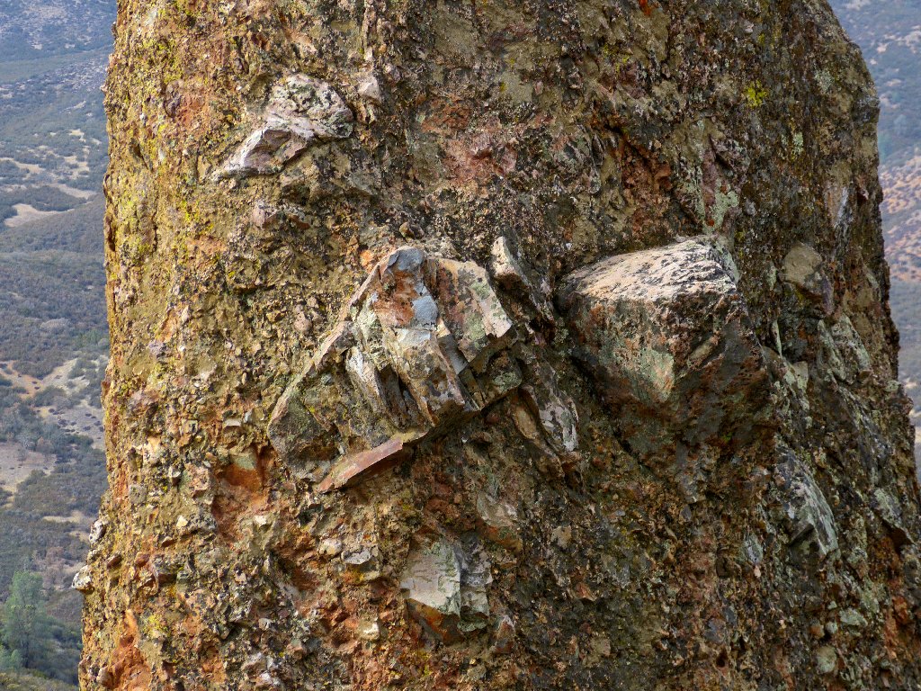
Nice colors in the rocks
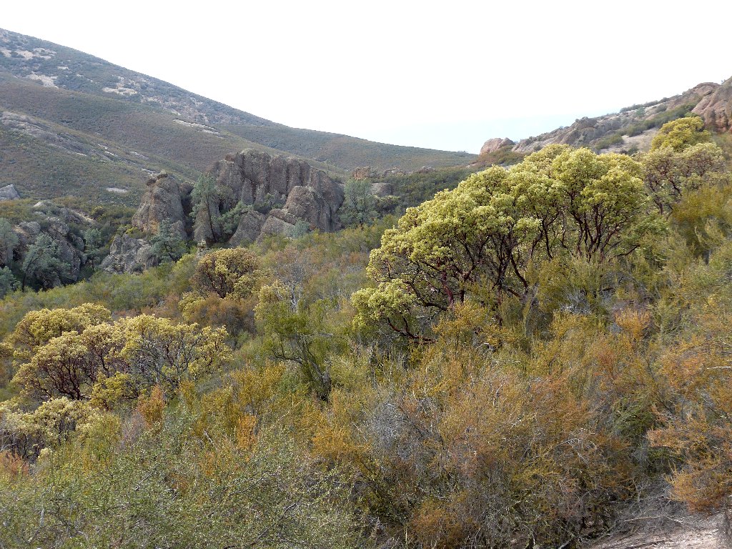
The trail behind
The trail ahead
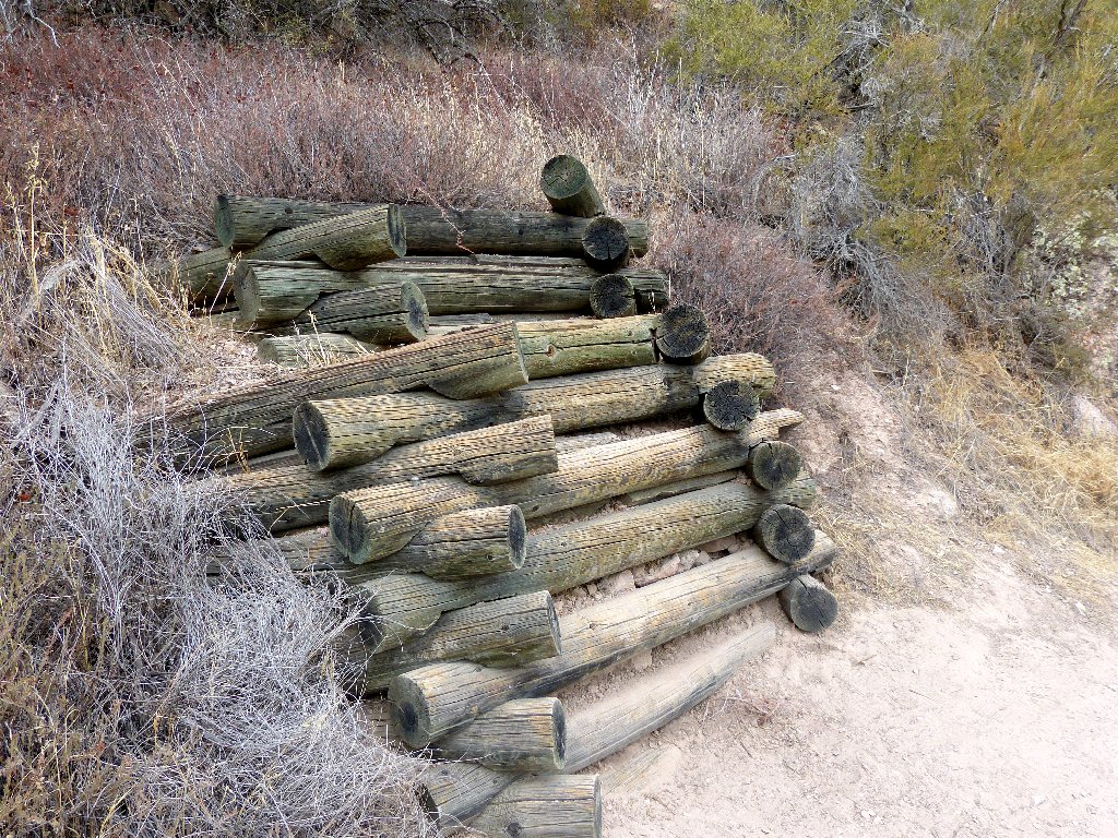
Unusual construction for a retaining wall
As anticipated, the trail does indeed switchback right up through the center of
the rock outcropping. At the top I encounter my first fellow hikers in more than an
hour — a group of six that has come up from the other side of the ridge.
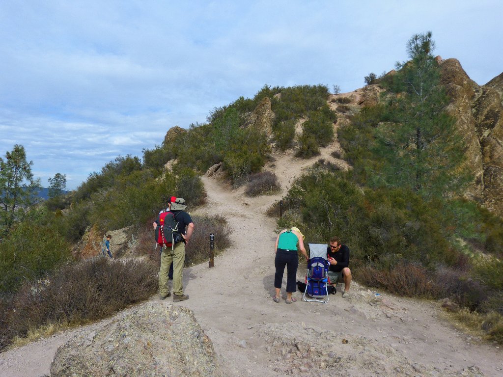
The one-year-old girl in the pack is a bit cranky
After a rest on the provided bench and a bit of lunch, it is time to tackle the most exciting part of today's route.
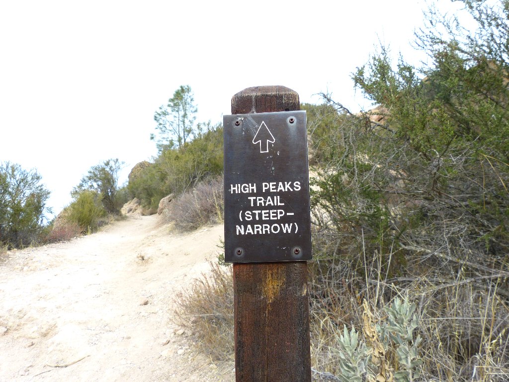
This sign would prove an understatement
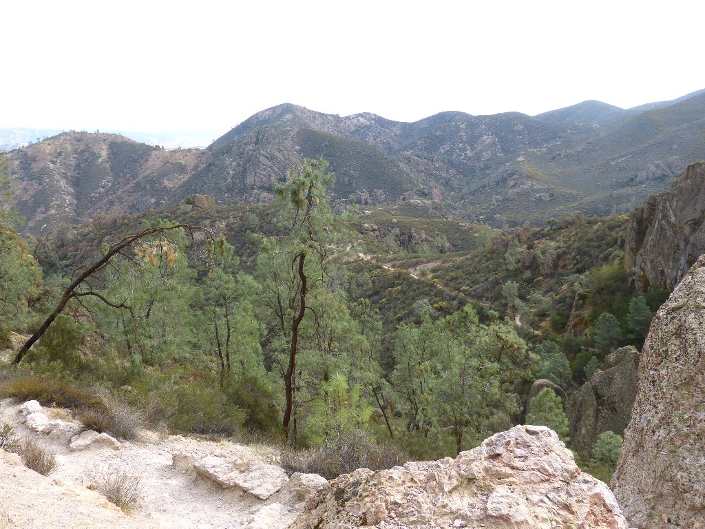
View to the northwest
A pinnacle closeup
To the east is a view of the trail far below. I have a feeling that getting there will take a bit of doing.
I'll be down there eventually
Above me is a hiker in a white shirt. Am I supposed to go way up there as well?
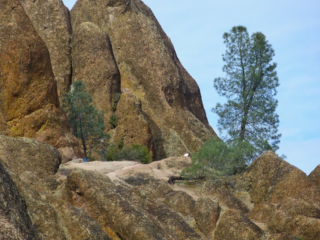

Hikers above and below
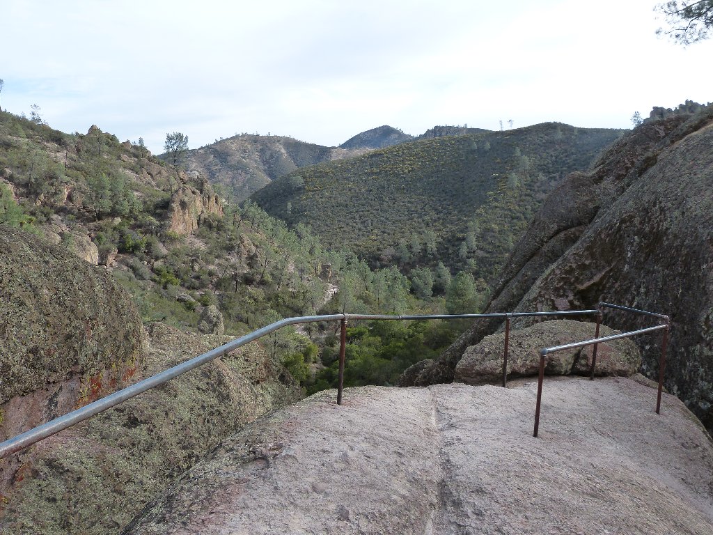
Now the excitement begins in earnest as I reach the highest rocks. The upcoming trail segments would be prohibitively dangerous without the installed handrails.
Looks like fun
Stair steps were cut directly into the stone
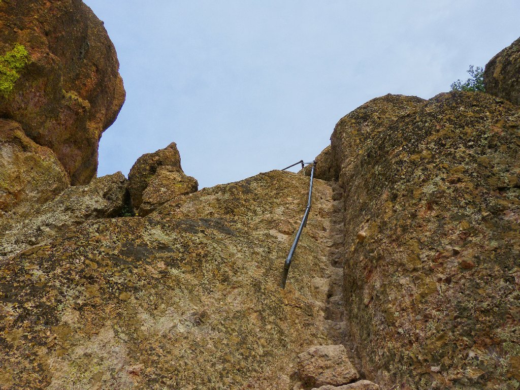
Via ferrata!
At the top of this climb I encounter the man in the white shirt, and also a guy named Mike holding an antenna and some sort of communications device. Mike is a volunteer with a condor restoration group, attempting to track some of the birds which have signal devices attached.
The California Condor, the biggest bird in North America with a wingspan
of nearly ten feet, became extinct in the wild in 1987 due to poaching, lead
poisoning, and habitat destruction. Subsequently, the twenty-two
remaining wild animals were bred at zoos and, starting in 1991, were
reintroduced into the wild in Utah, Arizona, Baja, and several California
parks including this one.
Mike says that there now are about 60 combined birds in the two flocks located here and on the nearby coast, and about 400 animals overall.
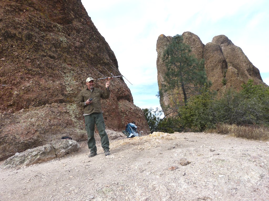
Mike is tuning in to the condor hotline
From here there is more work to do, including one very steep downward stairway that necessitates a firm grip on the hand railing and careful footing in the little square cutouts that provide room only for the heels of my boots.
Reminiscent of Angels Landing
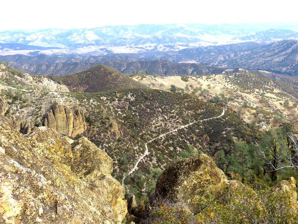
To the west and about a thousand feet below is the park's west-side trailhead.
Telephoto view of tomorrow's venue
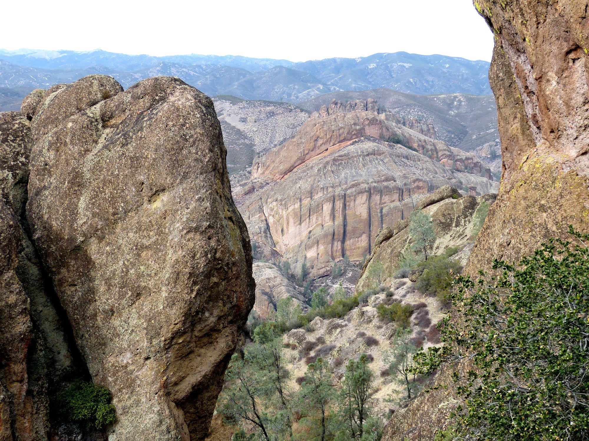
A piece of tomorrow's trail is in view ⇔
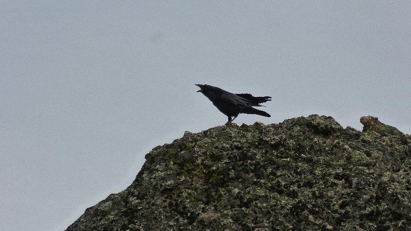
Not quite a condor
Various short side trails are signed as overlooks. I bypass the next one for strictly ergonomic reasons.
I would have to remove my pack to get through there
Last view to the west
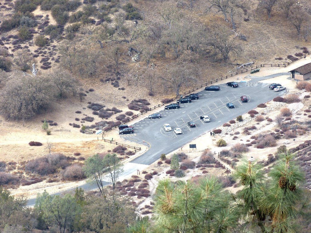
It is about 1,200 feet down to the car. It is time to break out my Walkman the help pass the time on the remaining two miles of less interesting trail.
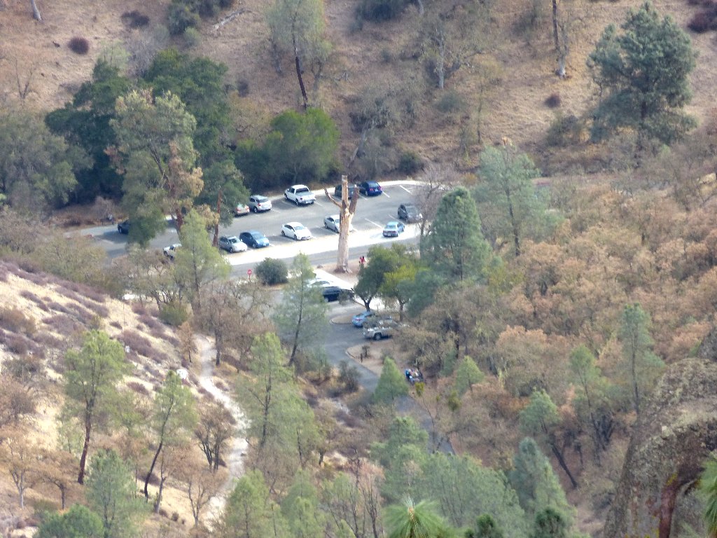
Stil 800 feet below
Condor Gulch Overlook
It's not far now
It is a balmy 71° as I finish the walk.

Currently unused facility
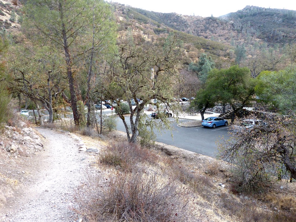
End of the line
§: I already knew about Bear Gulch Cave; but the high peaks trail
segment proved far more exciting than had been anticipated, and I have upgraded
the hike's rating on that basis. Perhaps I will revisit this place some
springtime, when the grasses are green and some flowers are around. It would
be worth braving a little warmer weather for those natural trail enhancements.
| Scenery |  |
| Difficulty |  |
| Personality |  |
| Solitude | |

ABOUT THE TRAIL CONSTRUCTION
Although I have the greatest admiration for the National Park Service
and the greatest appreciation of all that it does for us, I don't fully buy into
its modern preservationist mantra. Without all the spectacular
trail-building in the early days of the park system, many areas would
be far less interesting today. Numerous existing routes never would be
constructed in modern times because of perceived political incorrectness.
Zion's Angels Landing, Yosemite's Half Dome, and Sequoia's Moro Rock would be
accessible only by rock climbers. Other examples are the Observation Point
and Hidden Canyon Trails in Zion, the Precipice and Beehive Trails in Acadia,
the Watchtower Trail in Sequoia, and the incredibly popular Mist Trail in
Yosemite, all of which would not exist.
The list goes on. The focus here is not on such non-essentials as
swimming pools, golf courses, and IMAX theaters, which clearly do not
need to be located inside scenic parks; I'm talking about a few footholds,
steps, handrails, and an occasional cutout, tunnel, or footbridge to accommodate
a difficult section of trail. Making a remote area more human-friendly
does not necessarily equate to destruction of the environment. Even the
ever-controversial Half Dome cables adversely affect the lives of
no one, so what's the harm?
In contrast, the new see-through $35 million walkway that
overhangs a cliff at Grand Canyon and serves only to provide an unnatural
thrill is an inexplicable abomination, and shame on the Park Service
for authorizing such a patent violation of its own preservationist policy.
At least the magnificent legacy of trail-construction and
lodge-building by the CCC,
Sierra Club, and others, is being preserved in most cases; and I am ever
so grateful for that. Several of those special trail segments provide
access to my own most favorite spots in all the world.
