
Folsom Lake SRA
|
Salmon Falls Folsom Lake SRA |
January 23, 2014
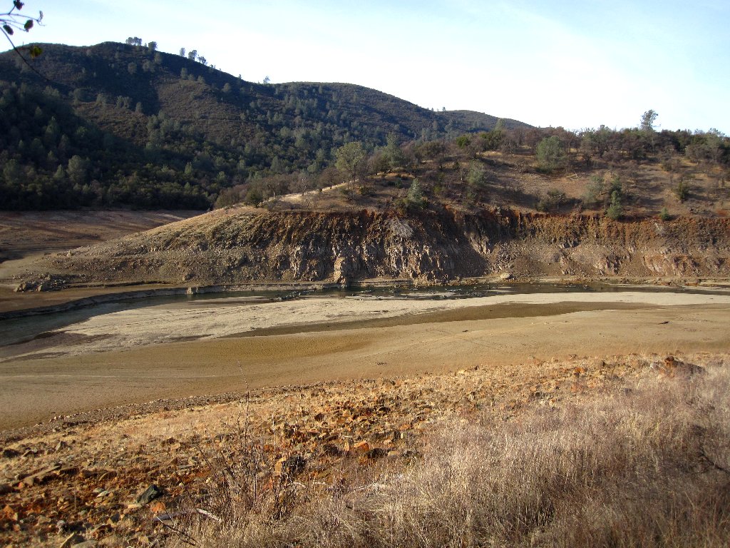
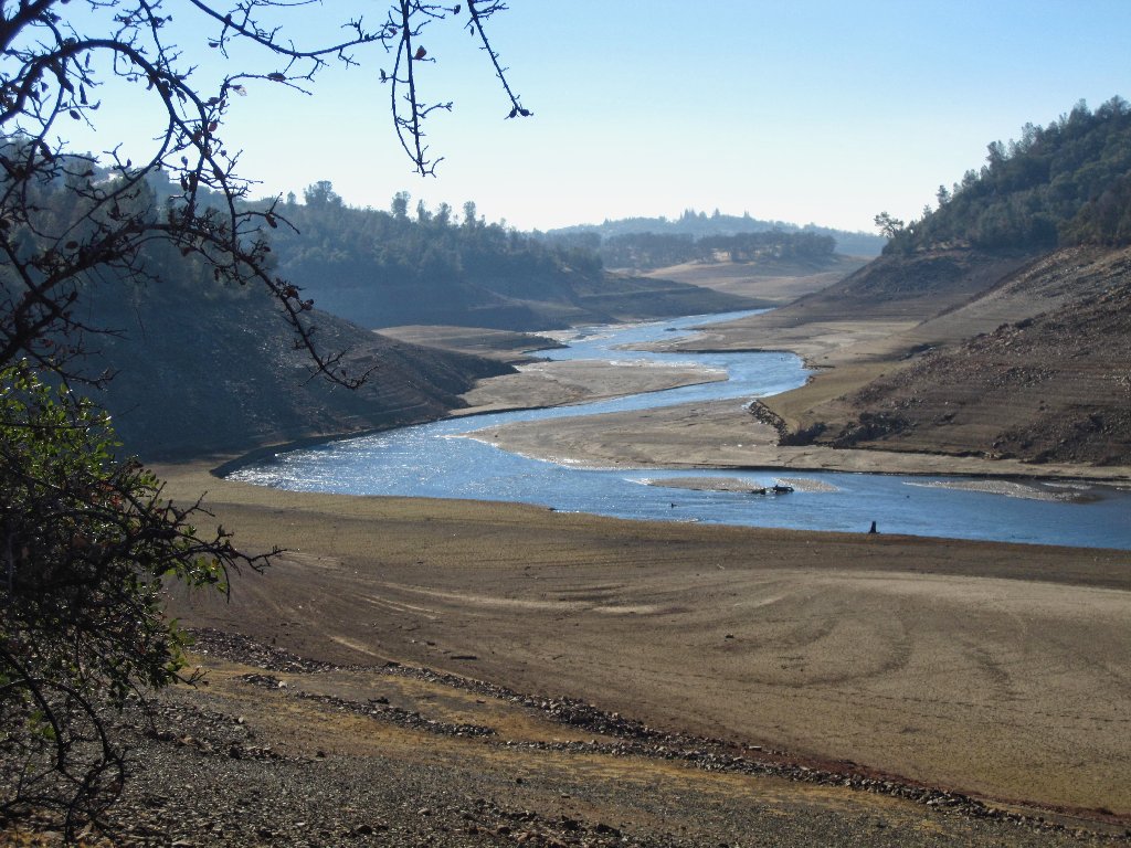
The ongoing California drought is so bad now that Folsom Lake is down below 20% capacity. One upshot of that is that numerous historical spots, which had been under water for 60 years, are now exposed again. Viewing the relative devastation can be somewhat depressing; but the conditions do provide a unique opportunity for exploration.
This area is new to me
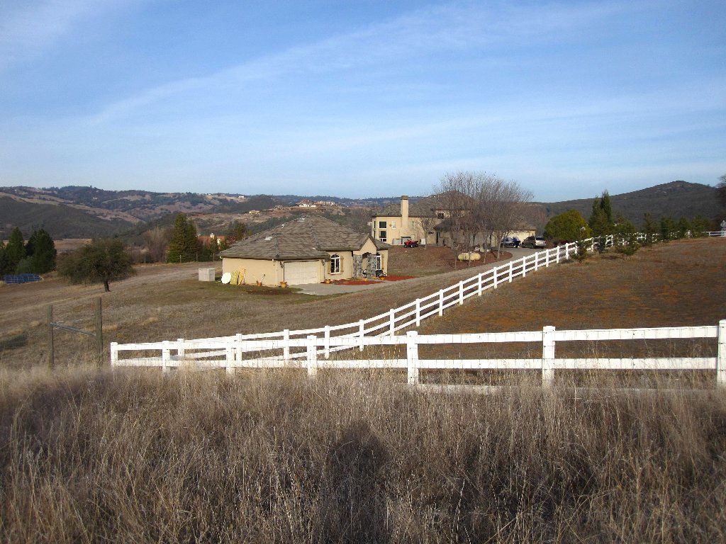
Habitation is nearby
Despite the proximity to my home, I have not hiked around here previously.
Low-elevation reservoirs are not my thing, and most of the time it's too hot
around here anyway.
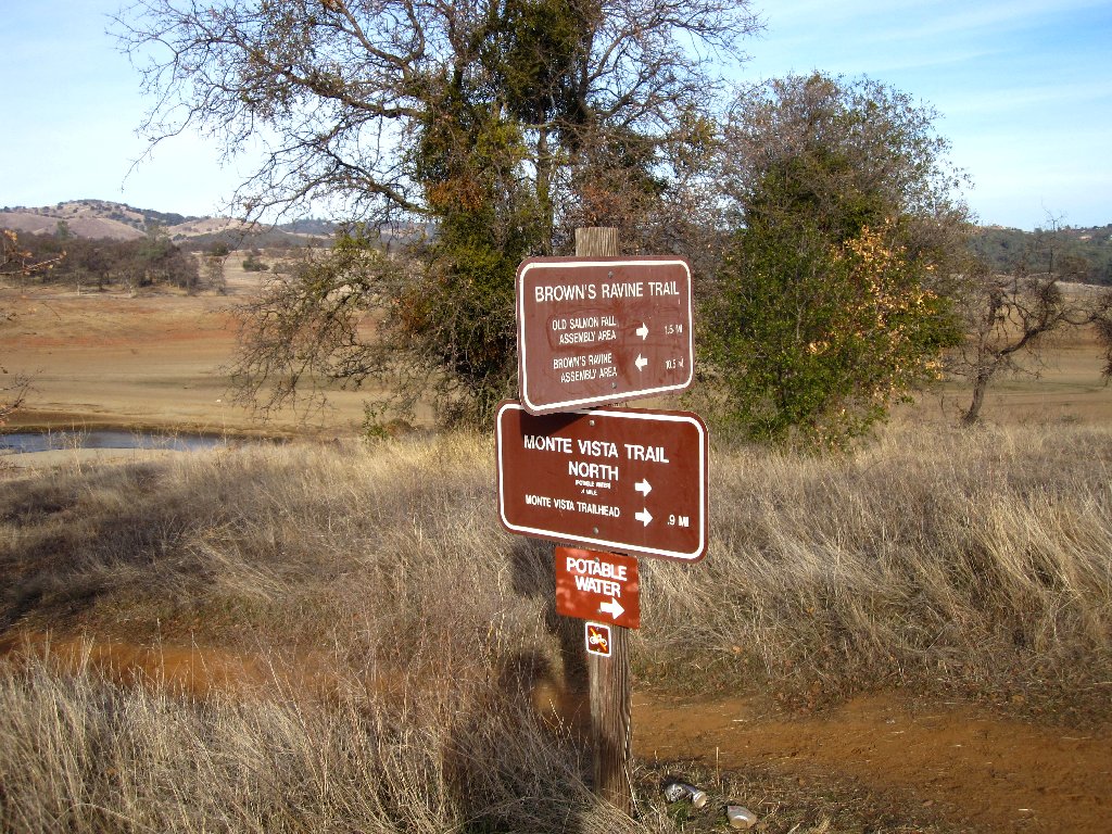
I believe I'll just head for the river
Standing at the high-water mark
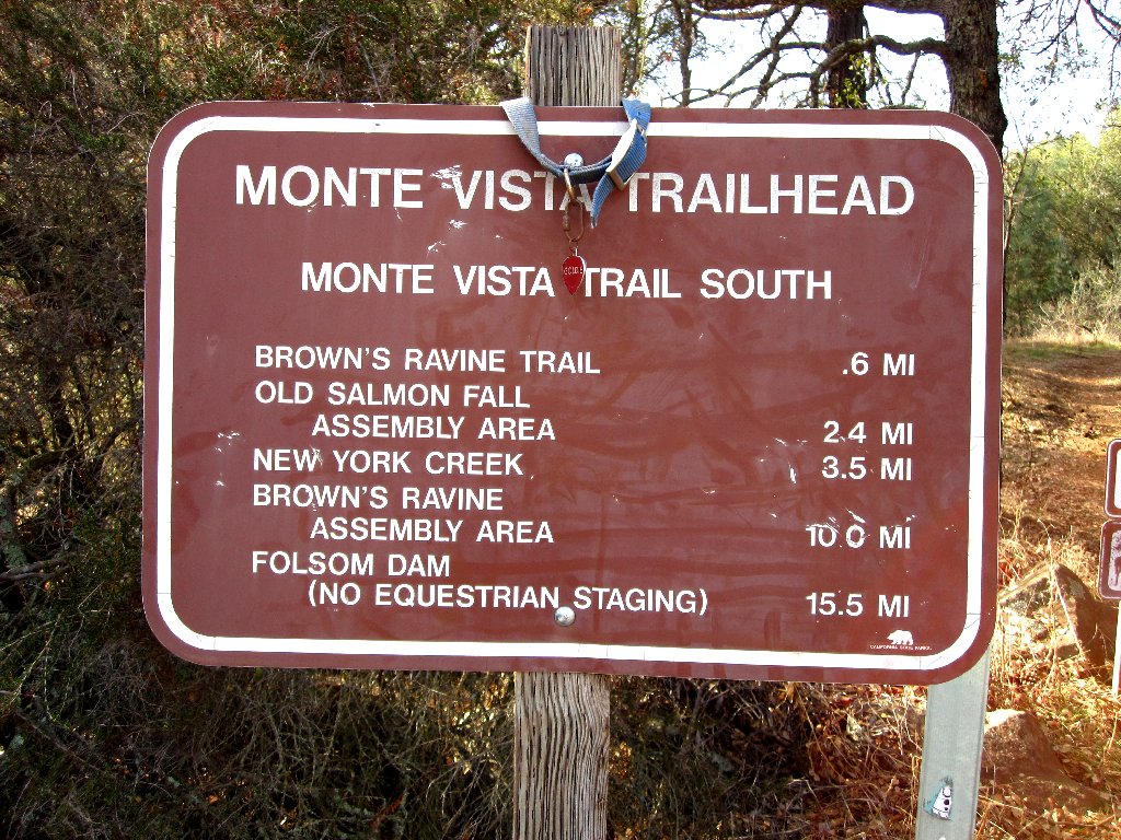
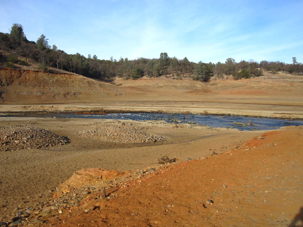
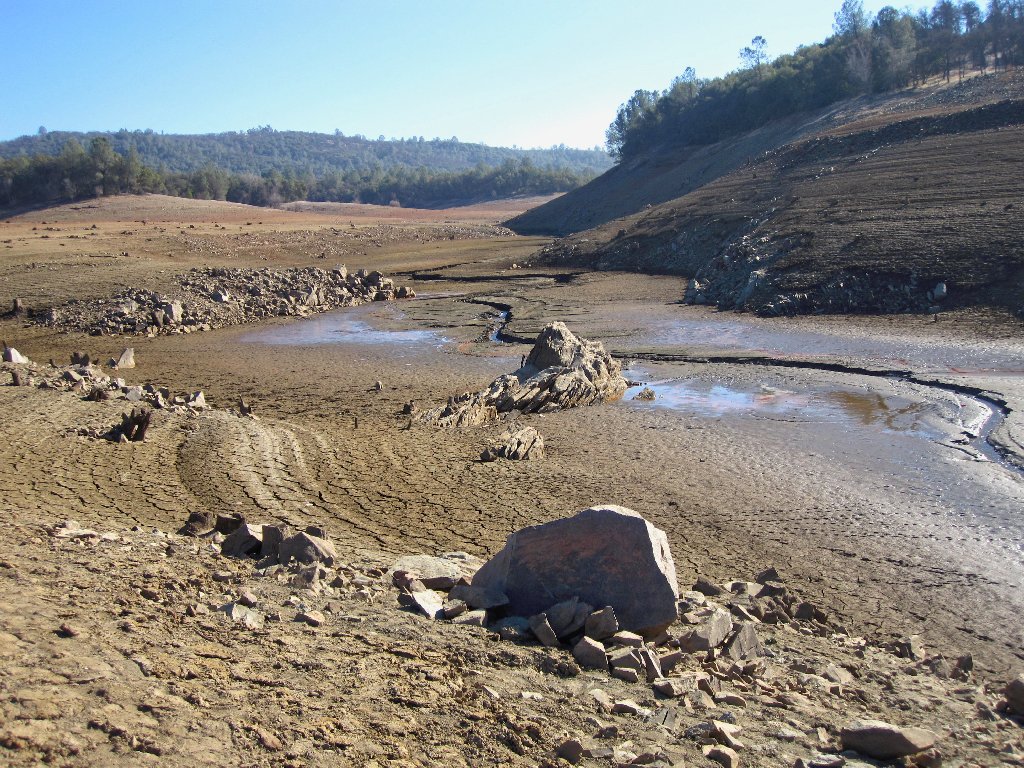
It doesn't take long to reach ground that clearly had been under water previously. According to the GPS I have arrived at Salmon Falls, which can only be this section of the river where rocks are stirring up some white water.
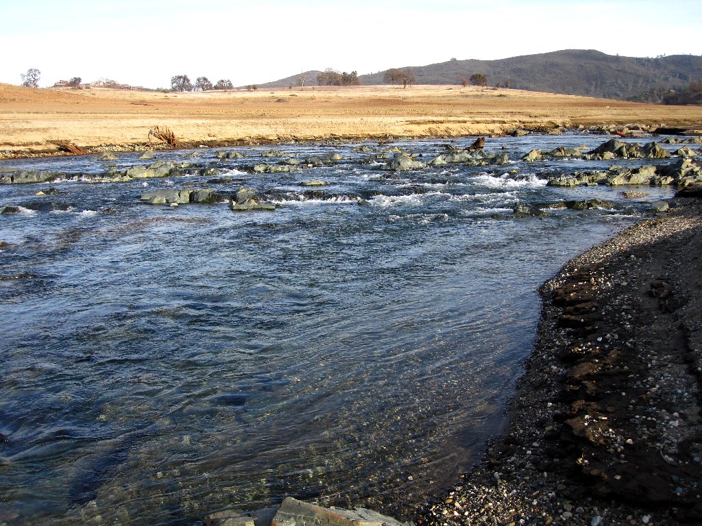
Salmon Falls, South Fork American River, might never be seen again
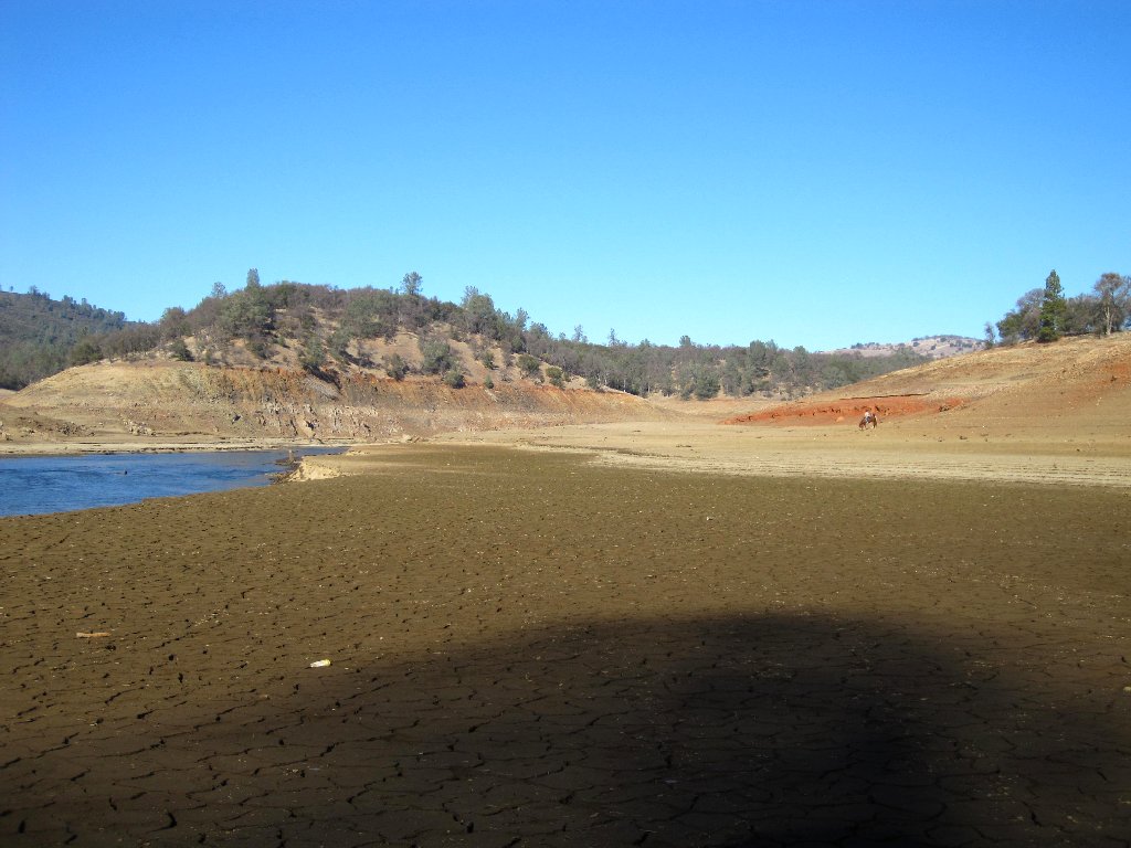
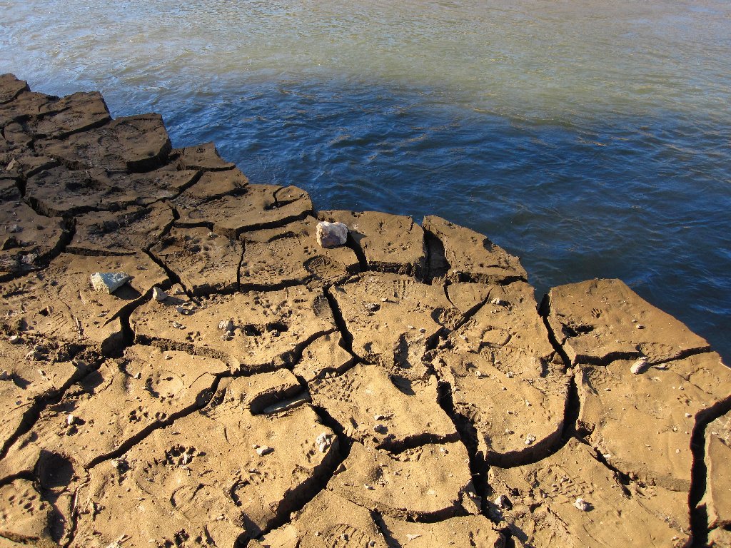
Having no particular plan of action, it seems right just to follow the river downstream toward what remains of Folsom Lake. I cross over a piece of an old bridge and pass by some remnants of a stone building. The caked mud is moist and even soft near the water, making it a challenge to find a path that bypasses the sticky stuff.
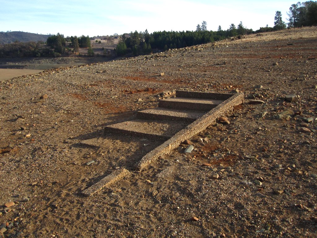
Remains of a concrete stairway
Those horses will have to go a different way
At one point a steep slope compels me to walk right next to the river, where the available path is only about eight inches wide. Any attempt to step on the mud causes it to break away and fall into the water. Not wishing to go swimming, I manage to scramble over a few jumbled rocks and continue downstream.
Not the best choice of routes
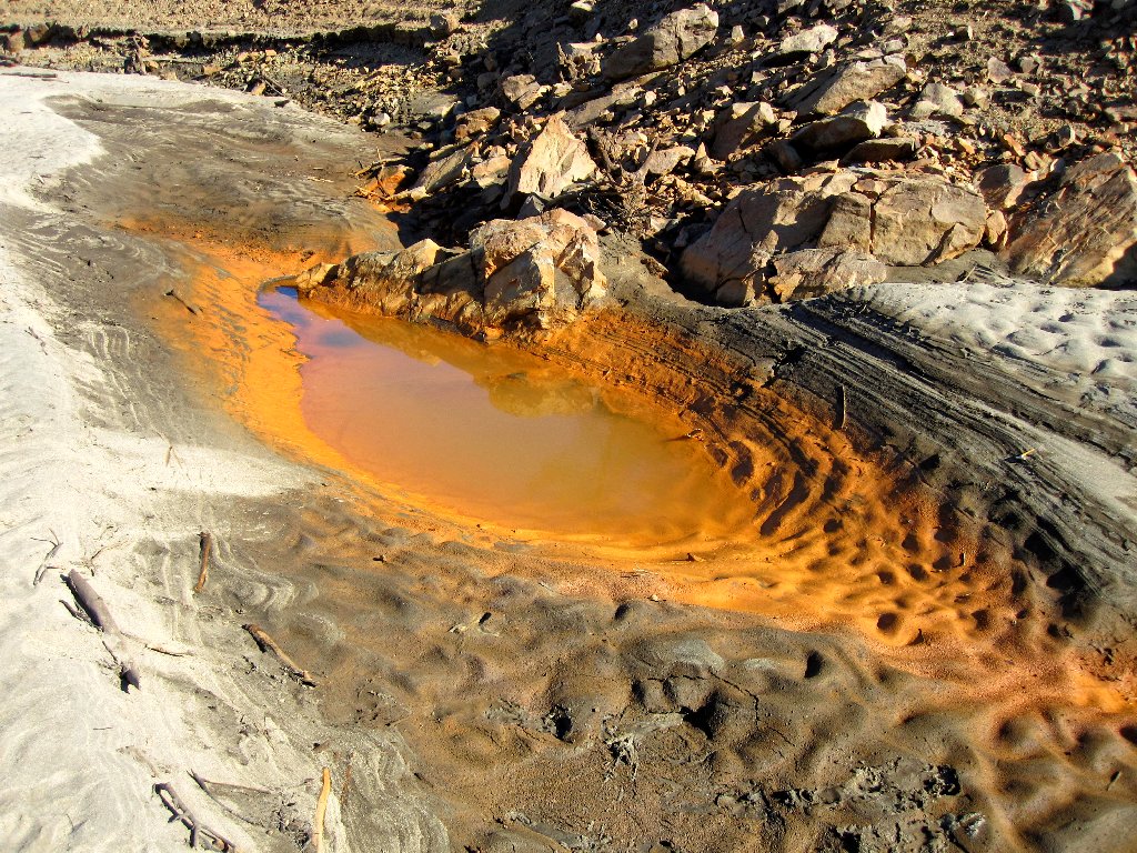
Not the best place to fill a water bottle
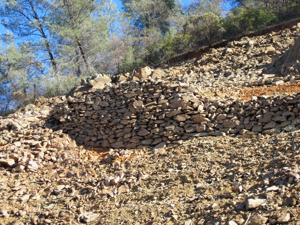
Retaining wall for an abandoned road
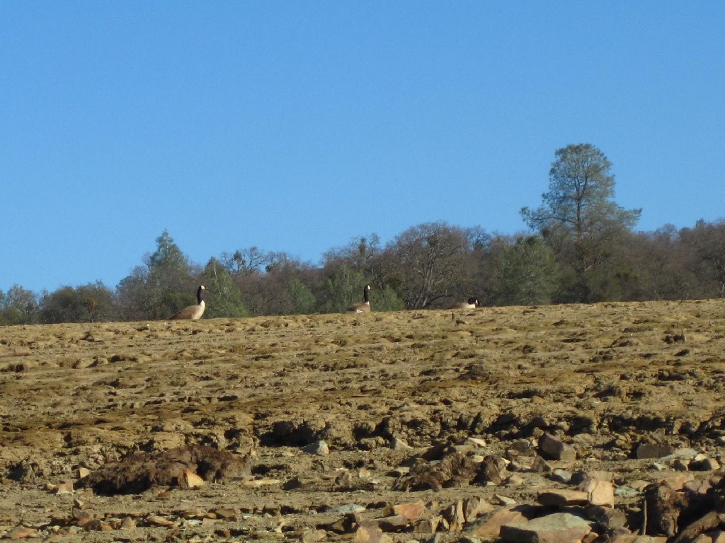
The only wildlife around today
I set sights on a hilltop with some trees, and pause there for a bit of
lunch a and view of a portion of Folsom Lake in the distance. Folsom
Dam is nearby; but its back side is quite non-photogenic.
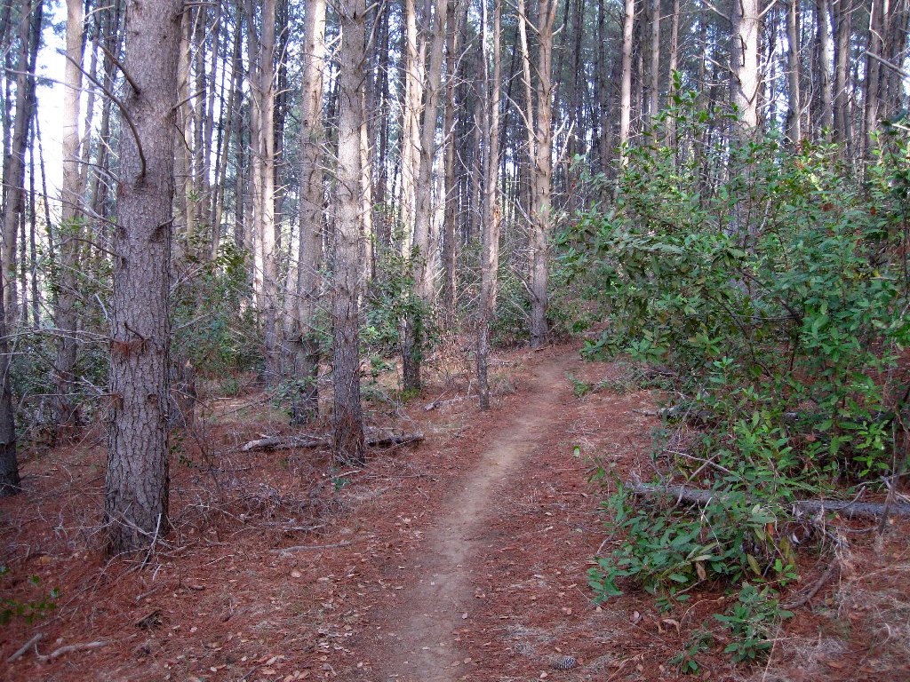
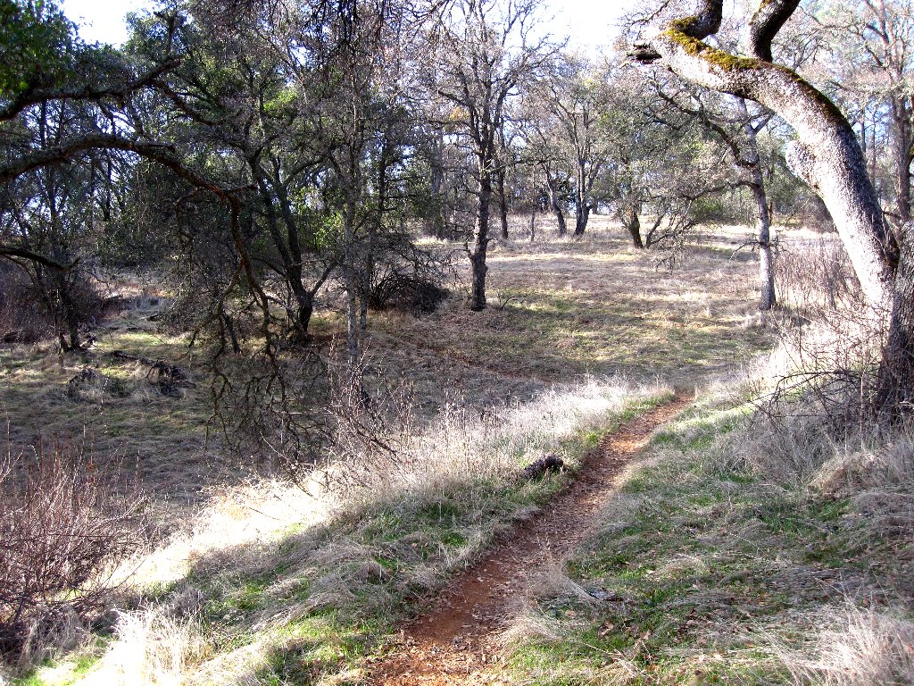
On the return I opt to remain in the trees and grasses above the
high-water line. At the edge of the final basin is a nice
little path leading back to the trailhead.
An old truck tire is sticking out of the mud
The erstwhile reservoir and the Sacramento smog
The final stretch
§: This walk proved a bit more interesting than expected.
Naturally, some flowers and spring greens would have made it better.
| Scenery |  |
| Difficulty | |
| Personality |  |
| Adventure | |
| Solitude |  |
