Tahoe National Forest
|
Twin Peaks Approach Tahoe National Forest |
November 10, 2013
Understandably, Ali and I are unwilling to let the current hiking season end. We have driven a long way up here with no knowledge of current road or trail conditions, relying on good weather to save the day.
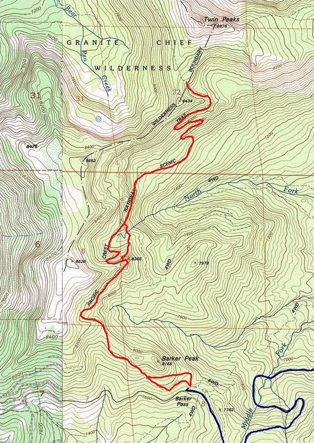
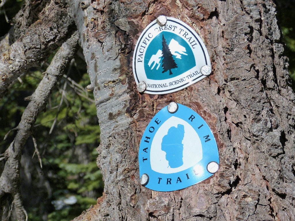
Barker Pass Road proves passable — barely. Numerous icy spots from a recent storm necessitate careful driving. The trailhead temperature is about forty degrees as we prepare to head northward on the Pacific Crest Trail, which is doing double duty here as the Tahoe Rim Trail.
A happy merger
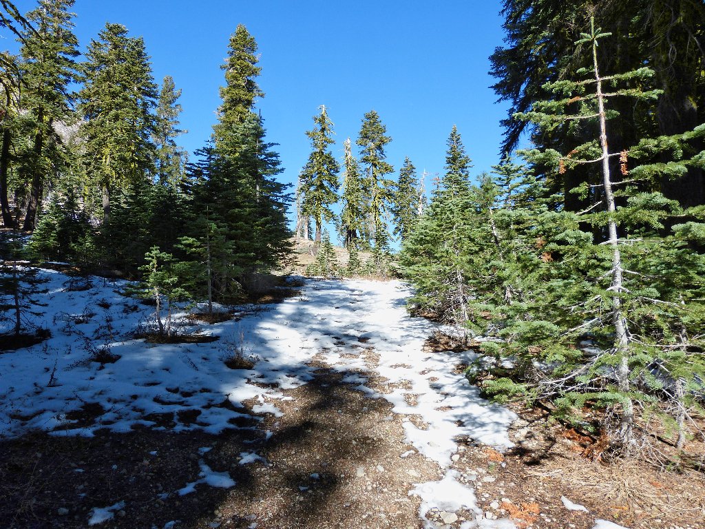
Immediately, we head out wrongly to the north as the PCT veers westward. After checking the map, we spend ten minutes veering over to the proper route. Within a short distance, snow appears on the trail. I hope that there won't be too much of it.
Getting started
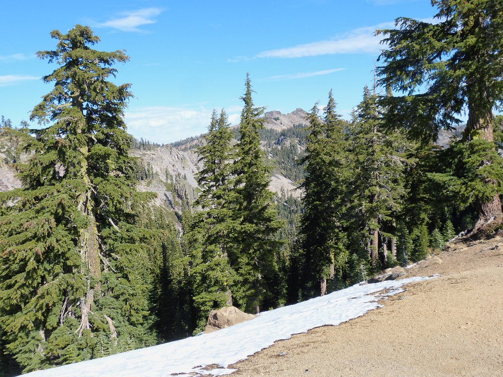
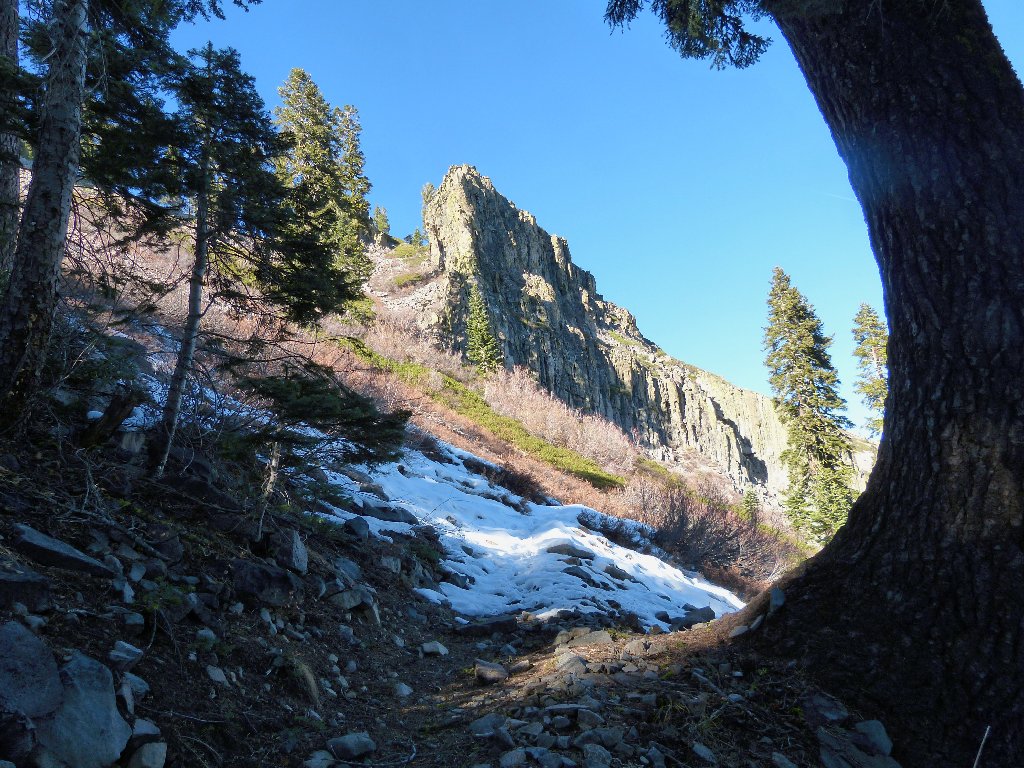
View to the west
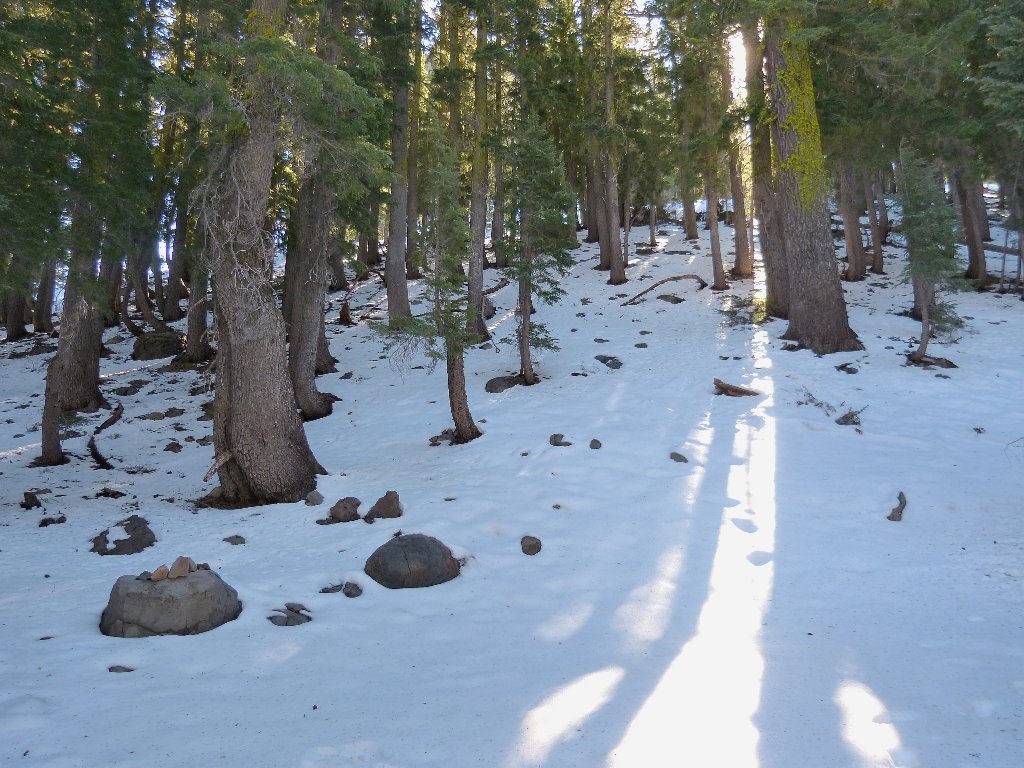
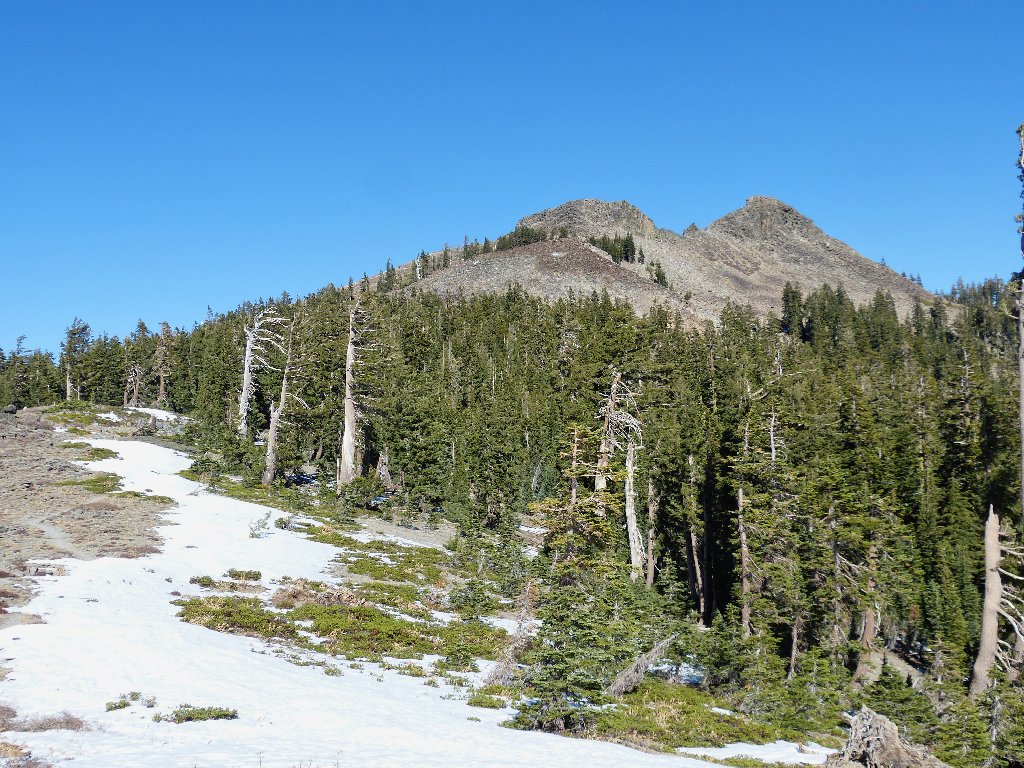
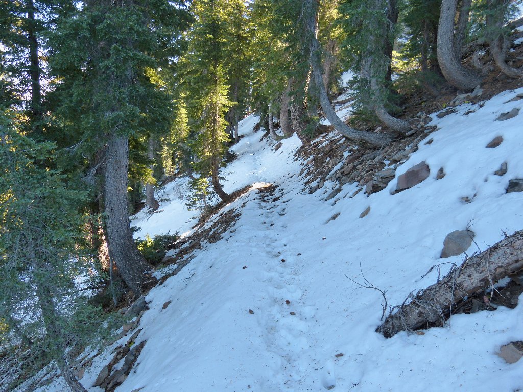
As it rounds a corner onto a north-facing slope, the trail turns white. It appears that this outing is not going to be as easy as had been hoped.
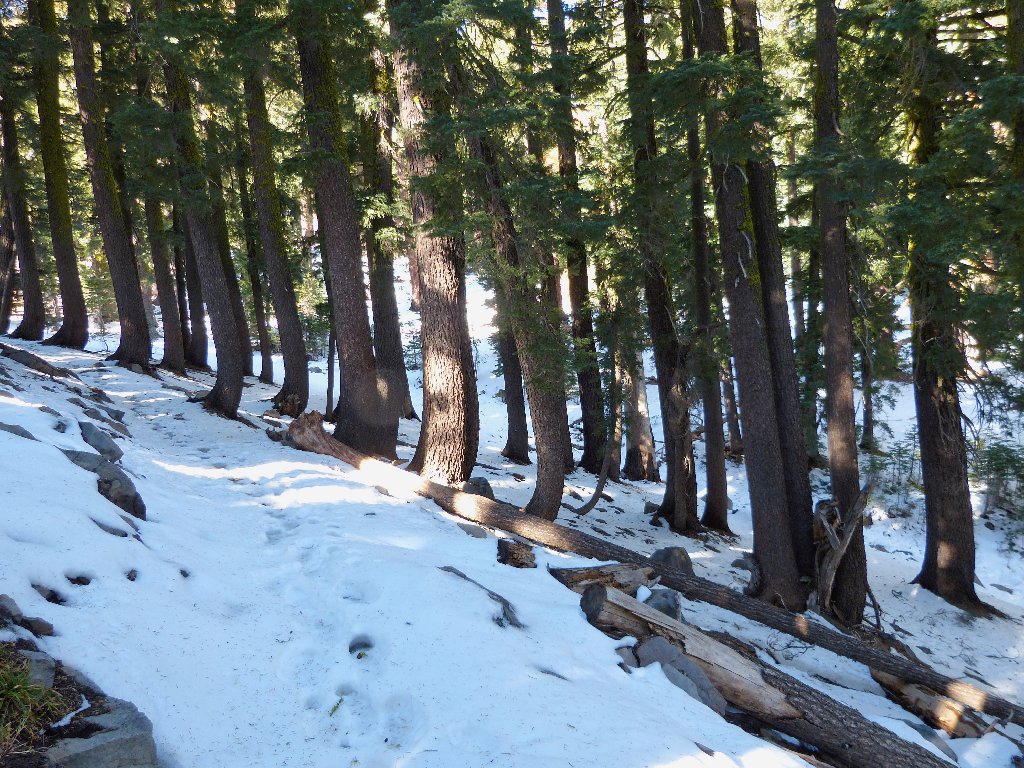
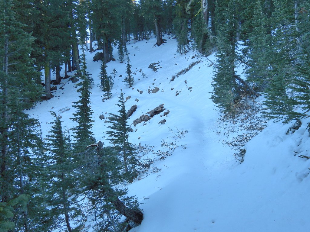
Into the dark forest
After a long snowbound section, the trail pretty much clears up again in the sunnier areas. A hiker and two little dogs pass us en route.
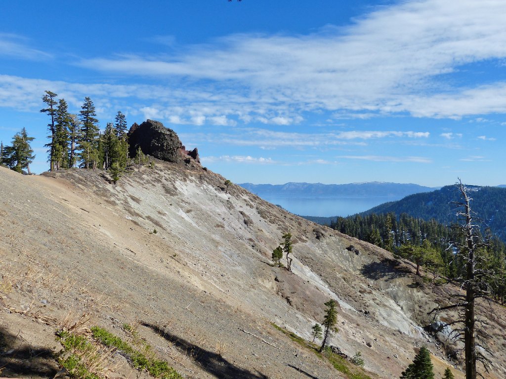
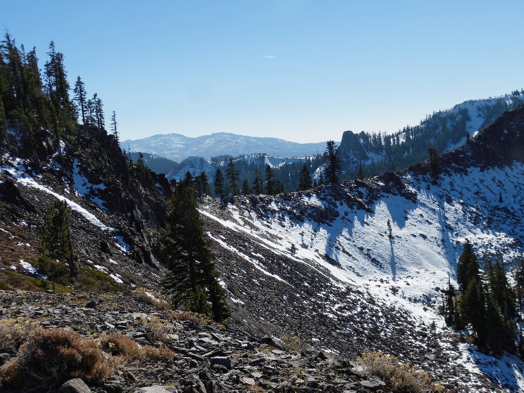
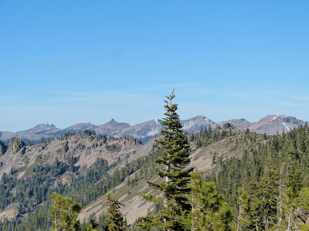
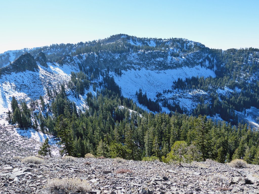
Peak 8366 and Lake Tahoe
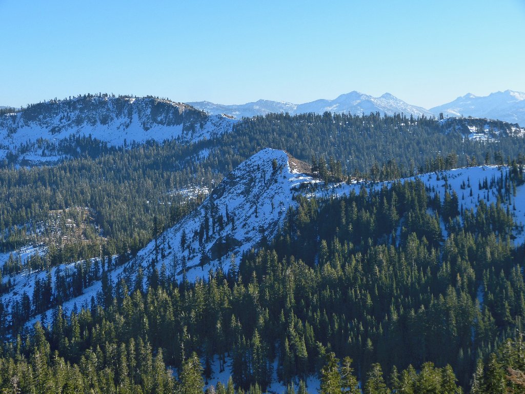
Twin Peaks in the distance
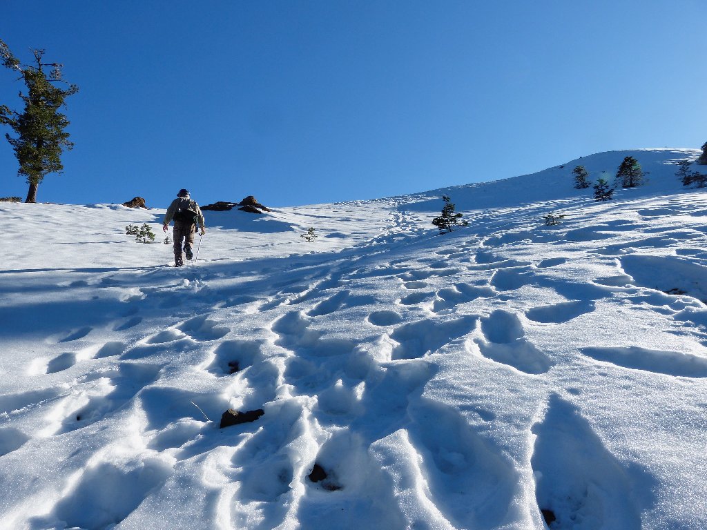
At the big rock, the trail suddenly drops steeply into a snowbound
canyon. A lot of boot prints lead straight down, but we try to stay
on the trail that nobody else seems to be using. After a switchback,
we are right back at the trail of footprints. Opting to follow them
this time, I quickly lose track of their direction, and wind up plunging
straight down a 50-degree slope in knee-deep snow.
I slip and fall twice in the process, but without damage.
We should have followed the others all the way
At the canyon bottom we must ford a little creek that would have been bypassed by remaining on the trail. After another map consultation, the PCT is relocated on the opposite slope.
It is steeper than it looks here
Although our net elevation change is virtually nil at this juncture, it feels like a lot more.
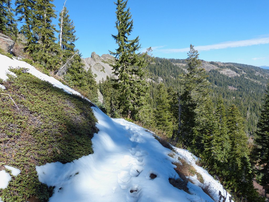
Back on the trail
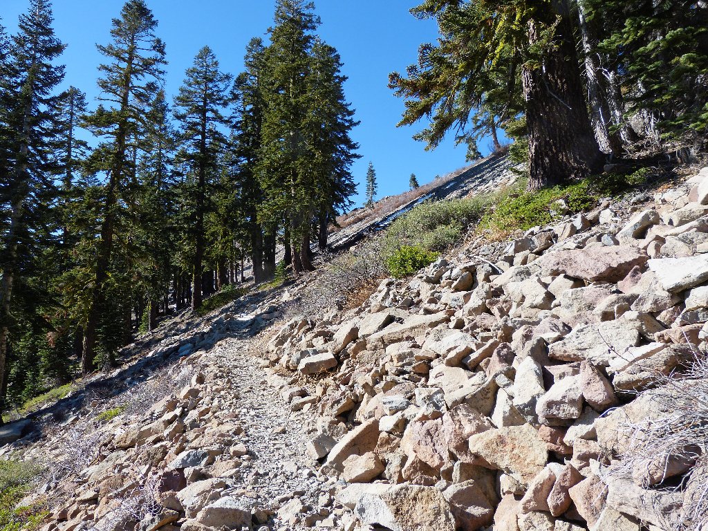
A series of switchbacks begins here, up a 600-foot hill. There should be some good views from the top.
Approaching a summit always is exciting
Atop the ridge the anticipated vistas do materialize, as we enter the Granite Chief Wilderness.
Looking south
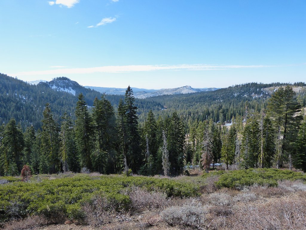
Much of the wilderness area is laid out before us to the north and west.
L2R: Lyon Peak, (unnamed), Needle Peak, (unnamed),
Granite Chief, (unnamed), Squaw Peak
I still haven't gotten over there to hike. It's pretty much all
cross-country going from the top of the Squaw Valley Tram, and that
sounds like fun.
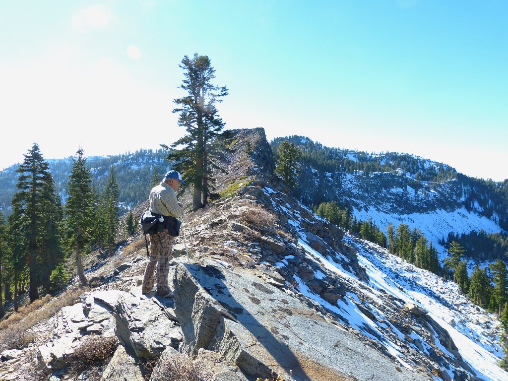
Twin Peaks, 8878'
Having had no specific destination in mind, Ali and I opt to stop here. The breeze has abated, the sun is out, and there is a view in every direction. That's the recipe for a great lunch spot.
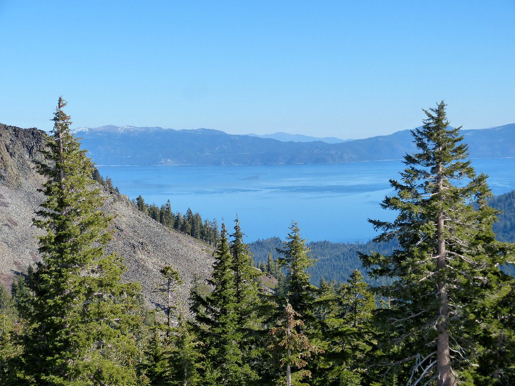
One never wearies of gazing at Big Blue
Even though there are many trailheads into the Granite Chief Wilderness,
this just happens to be my first-ever visit. That seems rather
strange in light of the fact that parts of this big roadless area lie a mere
fifty miles from my long-time home.
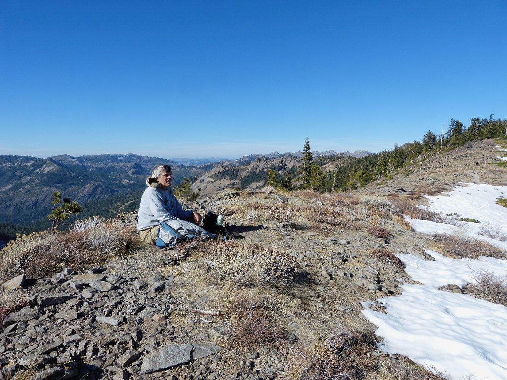
Yours Truly
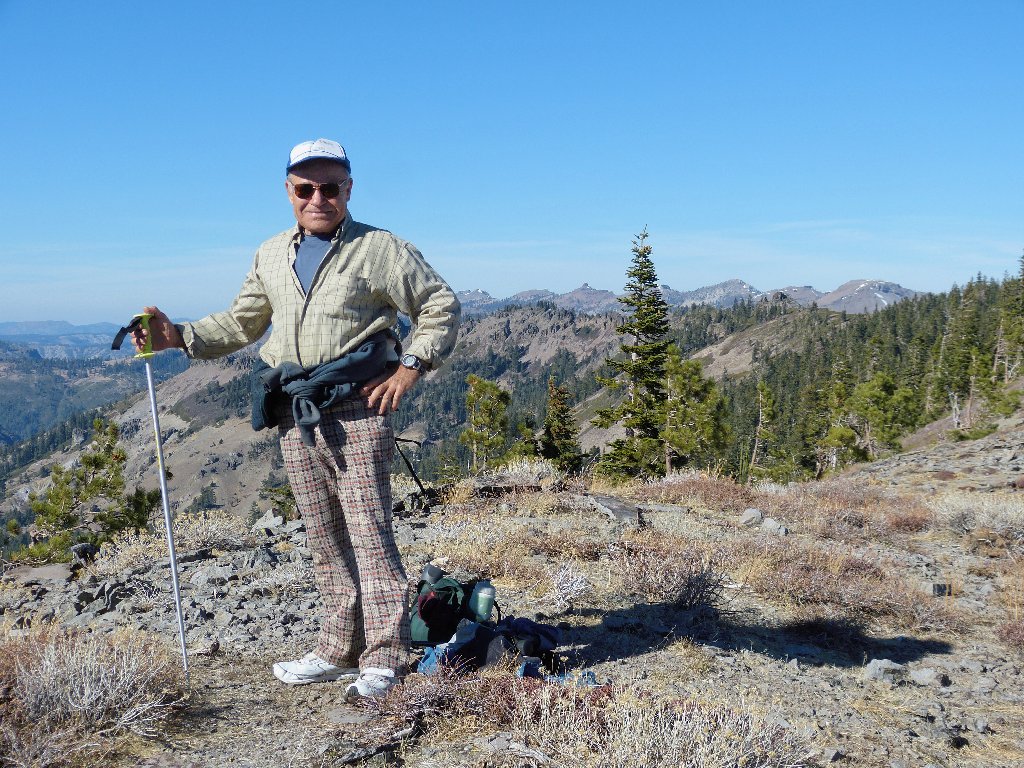
Ali shows off his unique hiking attire
It looks cold over there
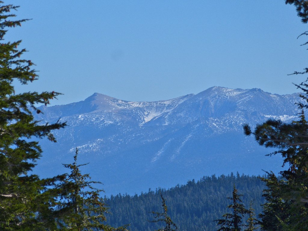
Jobs Sister and Freel Peak, the region's high points, are 26 miles away
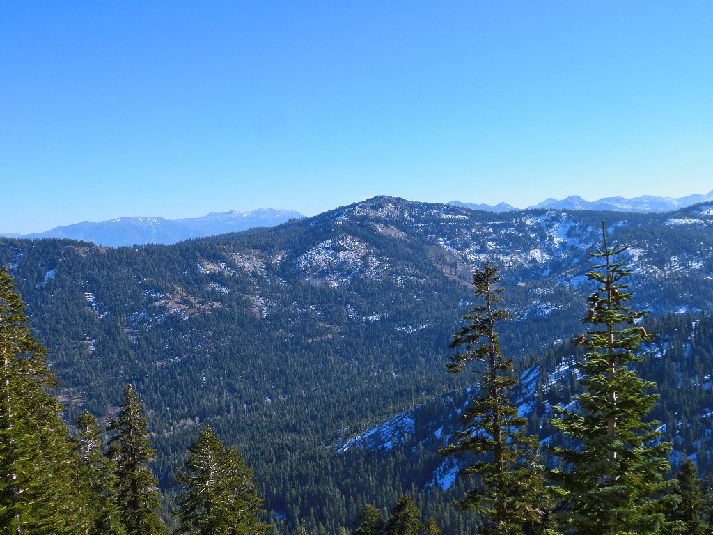
Ellis Peak conceals the mountains of Desolation Wilderness
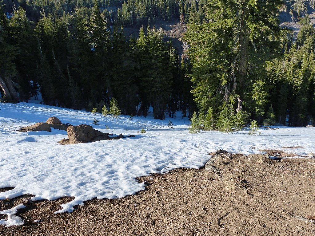
Just after starting back, we detour up to the top of the interesting little razorback ridge. At the bottom of Switchback Hill, I revisit a tree root on the trail that nearly cost me a twisted ankle earlier.
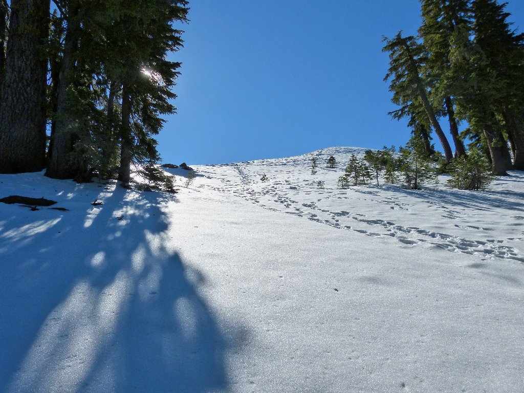
Deep snow
The sharp shale-covered ridge
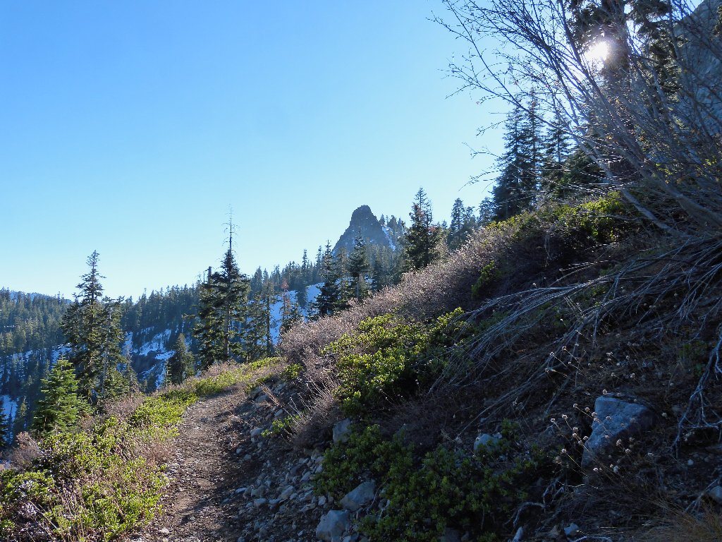
Peak 8366
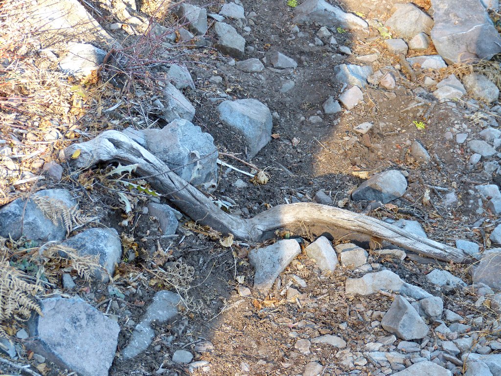
The dreaded trail obstacle
Peak 8652
The crux of the mission is at hand. At the base of the big snowbound
slope, a decision is in order. Since my lungs don't do at all well on
ultra-steep grades, I opt to stay on the Pacific Crest Trail.
Even though it is clear that no one has gone that way since the last storm,
I am willing to slog through the knee-deep drifts in order to benefit
from a milder gradient.
The PCT has not been trodden in many days. Go figure
Up near the top of the hill, however, the plethora of boot prints leading
upward proves too great a temptation. Leaving the trail, we head straight
toward the ridge summit. After only three pauses to combat
near-exhaustion, the hill is conquered.
This is not why I go hiking, but it is beautiful
Hah! You weren't so tough
All right! Only a couple of miles remain. Midway back,
I doff my windbreaker. Even though it is only about 45 degrees
now, being here near the end of the trek feels mighty good.
The car is over there somewhere
§: The first sign of a shady, snowbound trail caused some apprehension
regarding the rest of the route; but I need not have worried. Although the
wintery trail conditions were well beyond anything I have encountered previously
(without skis), I have upgraded the hike's rating on that basis. The extra
work added to the interest of the trek.
| Scenery |  |
| Difficulty |  |
| Personality |  |
| Solitude |  |