
Yosemite National Park
|
Medlicott & Mariuolumne Domes Yosemite National Park |
“Between every two pines is a doorway to a new world.”
– John Muir
October 23, 2013
Having not visited my beloved park since the giant Rim Fire and the
federal government shutdown, I have ventured up here just for the day.
This is by far the latest date on which I have taken a walk in the High Sierra,
but the weather is projected to be quite good. In fact, it's a whopping
30 degrees out as I start up the John Muir Trail.
I hope that the recent light dusting of snow won't
interfere with cross-country efforts
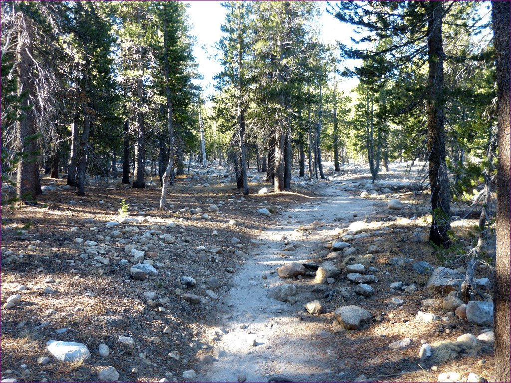
As previously stated, this section of the JMT is a relatively boring
thousand-foot climb over three miles. On the way, I pass a solo woman
hiker who remarks on what a great day this is. She clearly is taking her sweet
time, because I am doing plenty of stopping and resting myself. My excuse is
that I am 9,000 feet higher now than when I woke up.
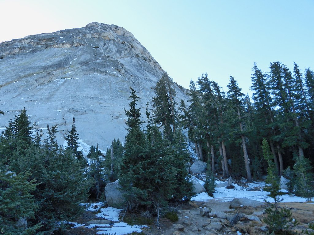
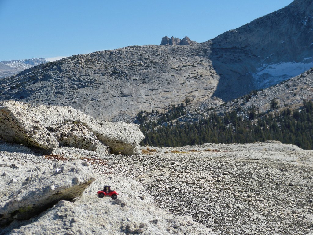
I have been watching for a good place to veer off the trail toward Medlicott Dome. At the top of the saddle, some boot prints cut to the right between a pair of trees. While following them, the potential path soon disappears; but within ten minutes or so I reach the slabs at the base of the dome.
It's time to exit the JMT
The climbing starts here
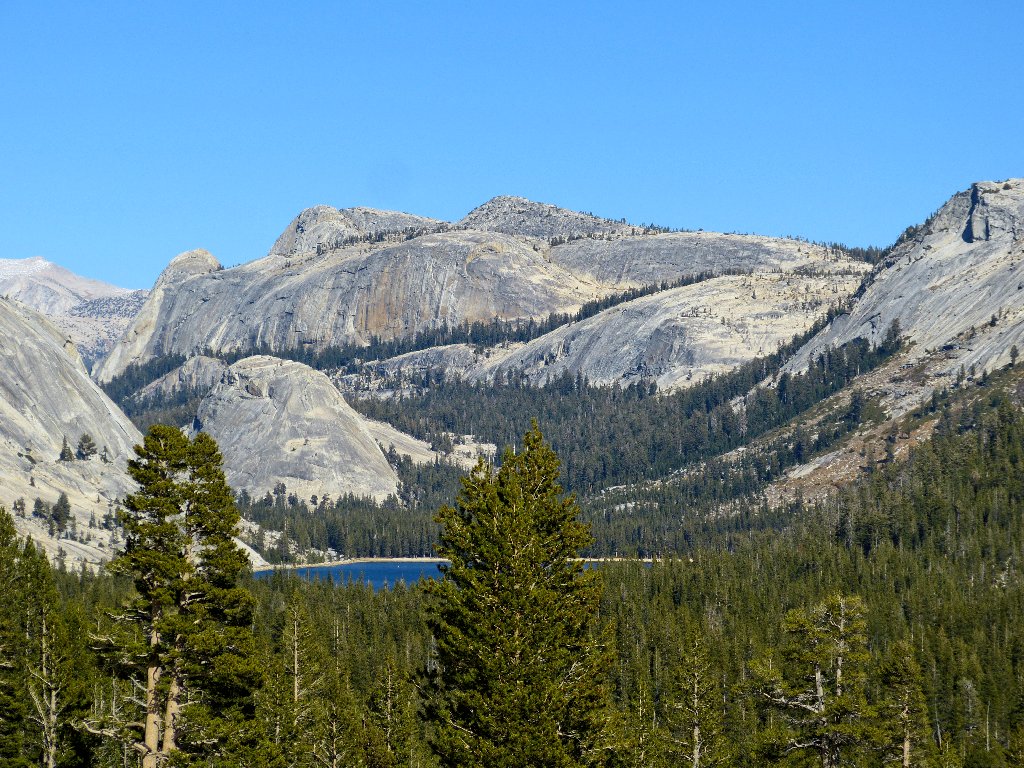
At this end of the rock, the gradient is friendly. Below me appears a beautiful, seldom seen lake with no mapped name; so I will give it one.
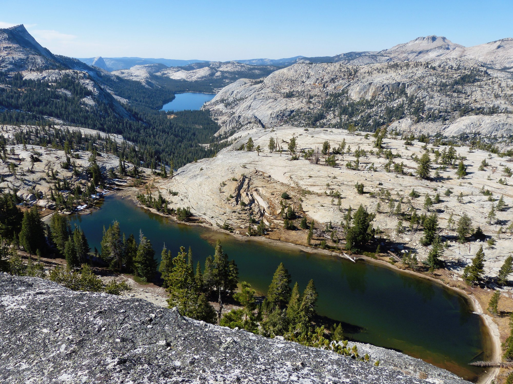
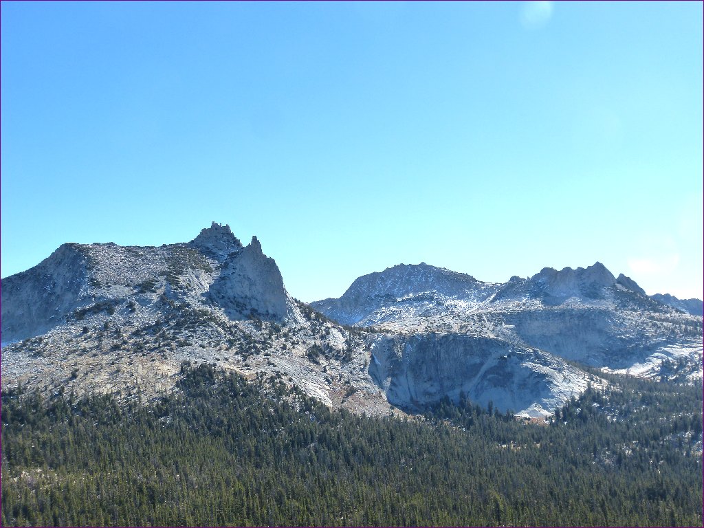
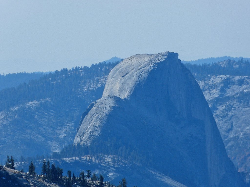
Medlicott Lake, Tenaya Peak, Half Dome, Mount Watkins,
Tenaya Lake, Mount Hoffman ⇔
It looks as if traversing the far side of that lake could be problematical if it were full. Perhaps there is a passage under the cliff on the near side.
Lower Cathedral Lake and Tresidder Peak
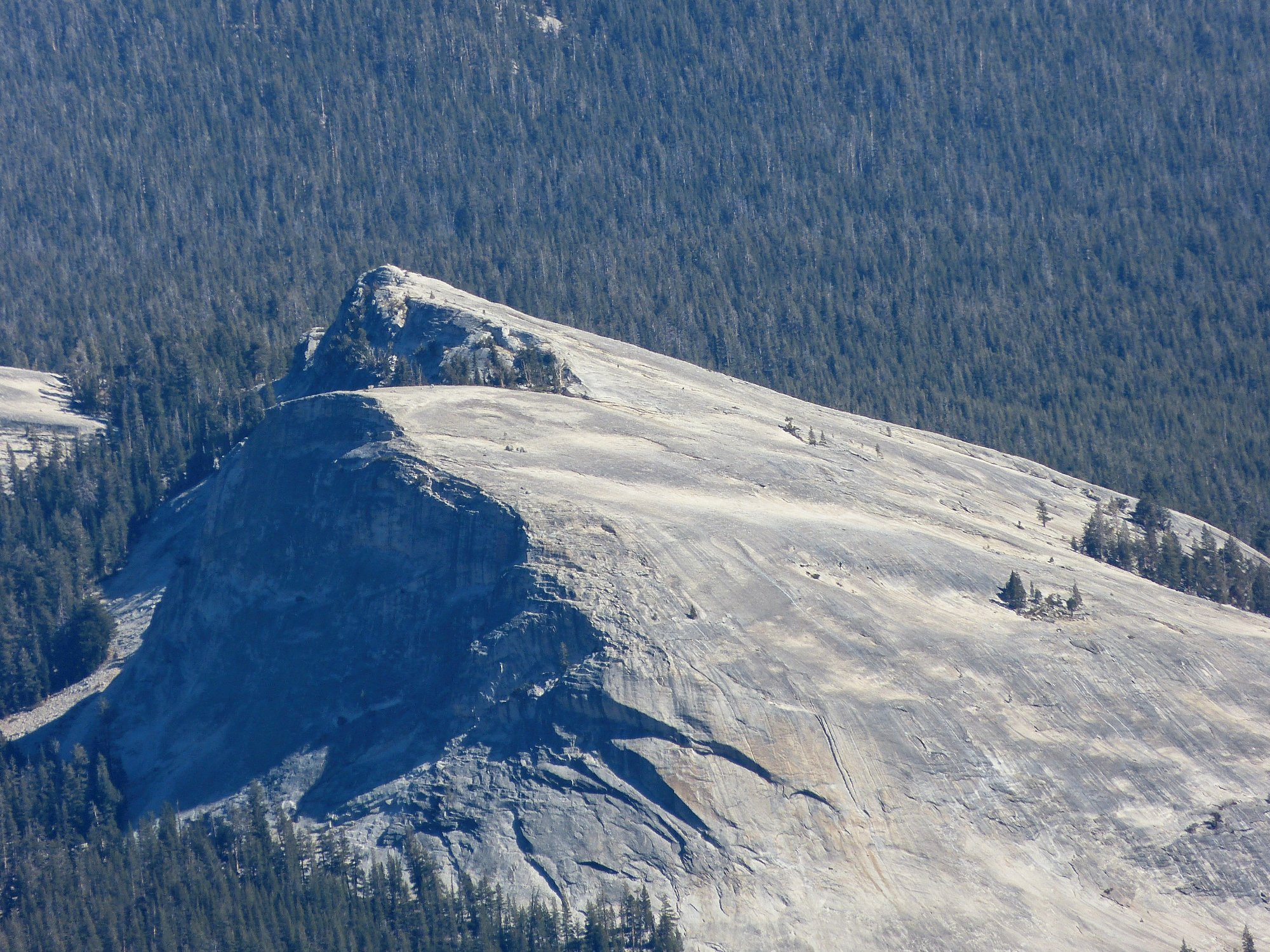
Near the top, I encounter a minor challenge. Going around to the left proves too scary, but there is a pretty easy climb over toward the right. And that's it; I am on top of Medlicott Dome!
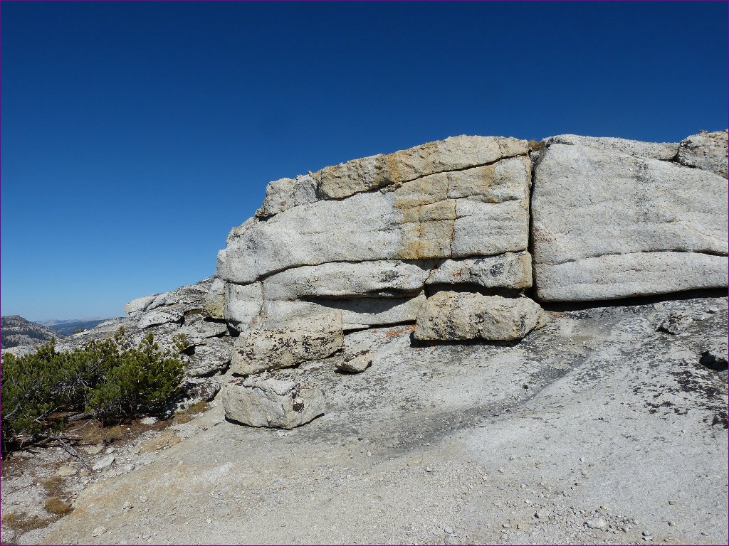
There is a way around this 8-foot wall
As expected, there are great views in every direction. The morning sun is interfering with my photos toward the south, though; they would be much better later in the day.
Fairview Dome and Lembert Dome in front, White Mountain and Sharsmith Peak in back
This dome was named for Harry P. Medlicott, a judge and U.S. Deputy
Mineral Surveyor from Lundy, who helped survey the Great Sierra Wagon Road
(Tioga Road) in 1882. Originally named Court House Rock, it later was
called Mount Medlicott; that designation is understandable, because the
formation comprises much more than just the little dome at the top.
Its present name first appeared on a map in 1956, on the Tuolumne Meadows
15-minute quad.
Unicorn Peak is peeking
It seems rather eerie up here right now, because all the usual action is absent. In fact, the only human I have seen anywhere in the park today was that woman hiker; even the entrance station was unattended.
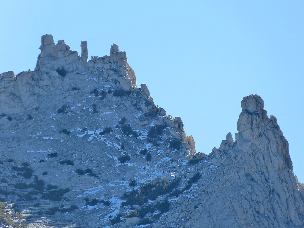
No one seems to be climbing John Muir's favorite mountain
The cables went down on schedule, just after Columbus Day
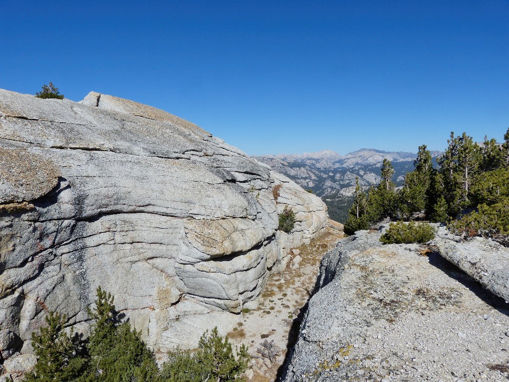
The western face of Medlicott Dome is a world-renowned rock-climbing
area, featuring a couple dozen routes of varying difficulty with names ranging
from Piss Easy to Holdless Horror. The top of the cliff
is on the other side of Medlicott Lake. It could be fun to venture over
there and chat with a few climbers, but I am the only one on the mountain today.
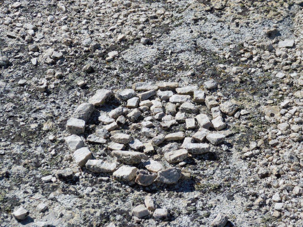
Natural and unnatural art on the summit
This is not the only dome up here. Next on the agenda is an even higher one just to the north.
Mariuolumne Dome awaits me
It proves quite easy to traipse back down the southeast side of this
rock, then walk over and scramble up the other one. A substantial
cleft at the top separates the westernmost section, which looks like the
high-point of the dome. There doesn't appear to be an easy way
to scale it unaided, however; so I will pass on that option.
Too tough for me
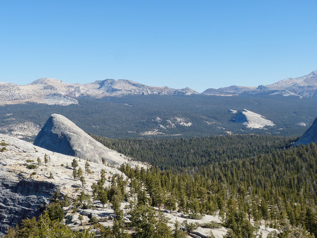
At 9,700 feet, this just happens to be the highest dome in the area; in fact, it is even higher than Clouds Rest, which itself stands well above everything in the Yosemite Valley region.
Can you spot the two hikers on Lembert Dome,
nearly five miles away? ⇔
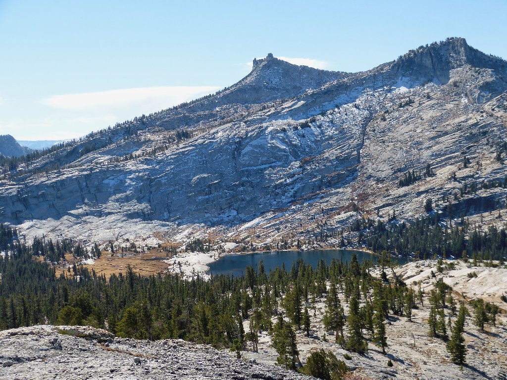
Below me is another lake spectacularly situated beside a granite
mini-dome; it also is deserving of a name. Albeit unseen
from here, the Tioga Road is just six-tenths of a mile away,
behind that big rock.
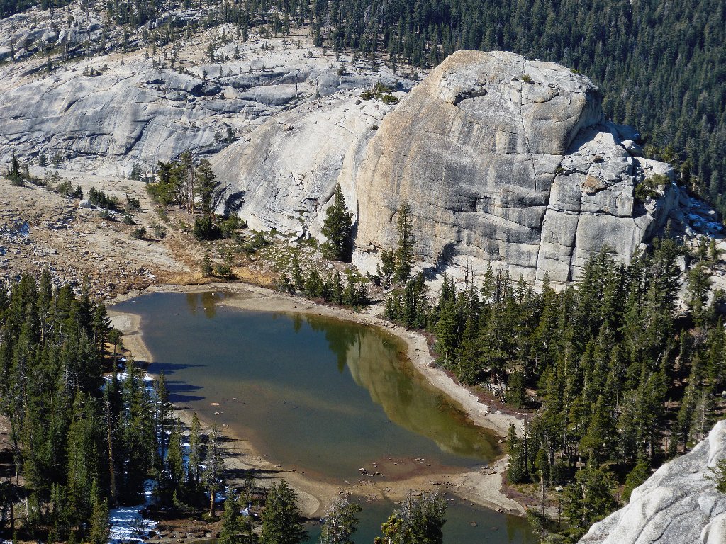
Astrophotographer Chuck Vaughn calls this the Lake of the Domes,
so I'll go with that
I refer to those bodies as lakes rather than ponds, because they do have outlets. In early season, water cascades down both left and right of the climbing area.
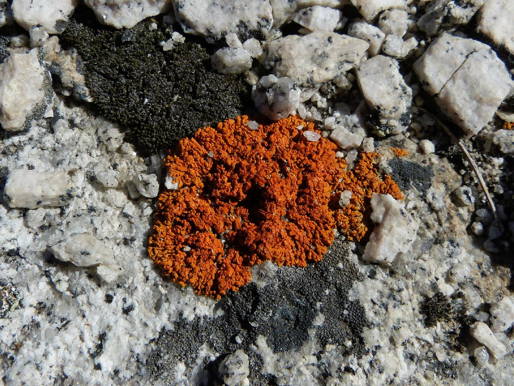
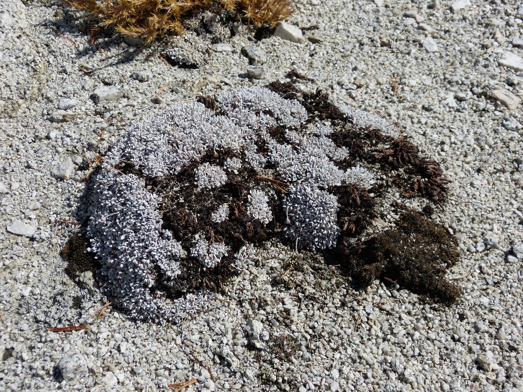
Teloschistes, "Split Ends" fungi
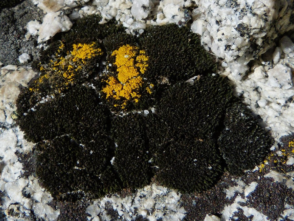
Candelaria, "Candleflame" lichens
This dome, unnamed on the topo sheet, acquired its unusual
tongue-twister of a moniker due to its close proximity to the
border between Mariposa and Tuolumne Counties. In fact, some
writers, including the guys at summitpost.org, maintain
that the county line splits this dome, which it does not.
The USGS topo map clearly shows the border running right over the
highest point of Medlicott Dome instead!
Further research reveals even more confusion. Google Earth shows the county line running more directly along the western base of Mariuolumne Dome, bypassing Medlicott Dome completely and moving Lake of the Domes from one county to another. The online map at the federal USGS Store concurs with that routing. The offerings on the official Yosemite website and at least one Mariposa County official source, however, show the original line intact; the same applies to National Geographic's TOPO4! program and its new trail map, which reflect no change in the boundary as indicated on the 1956 quad sheet.
Because the facts remain uncoordinated, I have noted the maverick boundary as a dark blue line on the included map; one can see that it does not traverse the top of any dome.
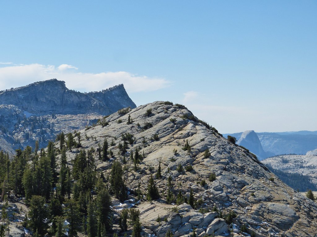
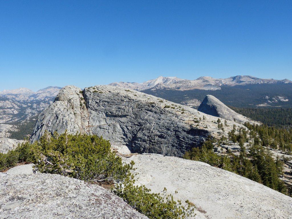
Medlicott Dome in front of Tenaya Peak and Half Dome
With my several layers of clothing, I am perfectly comfortable up here in a very light breeze while munching some gorp and admiring the scenery. It is projected to reach the high sixties here today, although I'll be long gone by then.
Southward view from the summit
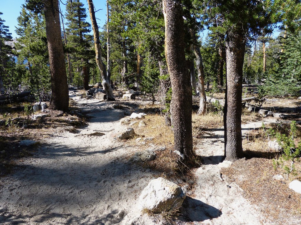
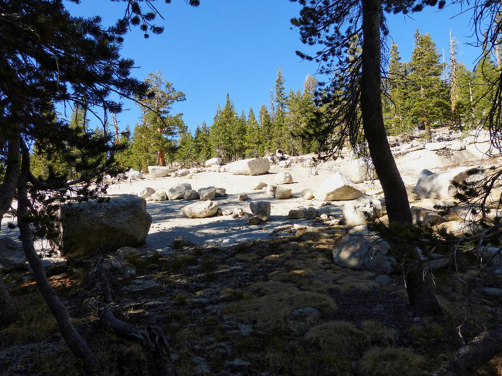
After a pretty easy walk down the friendly granite slabs, it is about a
half-mile clamber through the forest back to the main trail.
Although I am not looking forward to the dusty slog, it is better than
negotiating three miles of dense forest undergrowth.
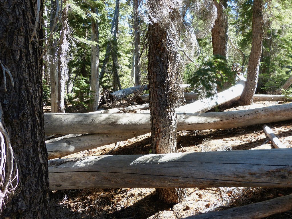
Not the best choice of routes
Having not hiked the entire John Muir Trail, I cannot be sure; but I hope that all 208 of the other miles are more interesting than this section. To be fair, I did veer off the trail just before reaching the beautiful Cathedral Lakes area.
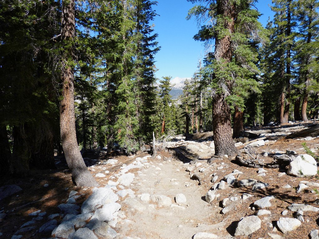
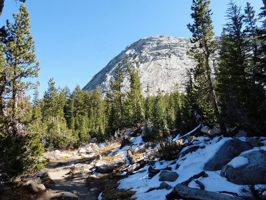
The only views in three miles
Back at the trailhead, I retrieve some smelly goodies stashed in a
bear locker. As it is only 2:15 p.m., I'll be home in time
for Jeopardy!
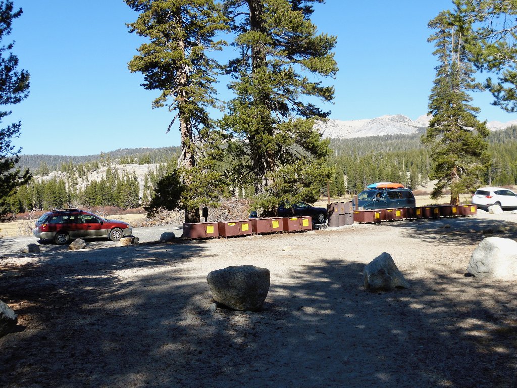
The John Muir Trailhead leads to Yosemite Valley
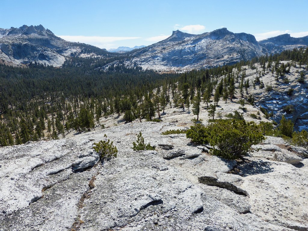
The two domes (way up on top) as viewed from the Tioga Road
§: Not knowing what to expect from the climate up here this
late in the season, I was pleasantly surprised at how mellow it actually
was. The dome ascents were easy, and the vistas were marvelous.
I was especially impressed by the two little unnamed lakes sitting
midway up the expanse of Medlicott Dome. Accessing them from Lower
Cathedral Lake is child's play, yet I doubt that many hikers make that side
trip or even know of the option. I definitely will visit that hidden
granite shangri-la up close sometime in mid-season.
| Scenery |  |
| Difficulty |  |
| Personality | |
| Solitude |  |
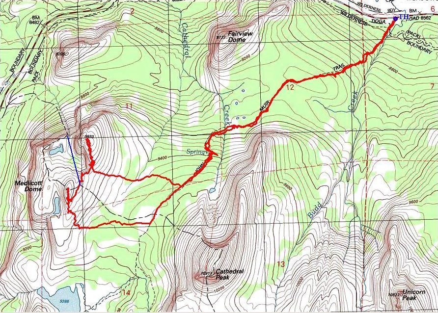
(clockwise loop)
