
Eldorado National Forest
|
Freel Peak Loop Eldorado National Forest |
|
“One does not climb to attain enlightenment, rather one
climbs because he is enlightened.” — Zen Master Futomaki |
September 22, 2013
As Ali and I drive over Echo Summit, there is fresh snow on the ground, and I have my doubts about climbing to 11,000 feet today. If Ali wasn't with me, I might turn around and go home; but as it is we must do something to justify this trip.
The access road to the trailhead is very pleasant —
4½ miles, a single lane, steep enough in places to require low gear,
but nicely paved throughout.
At 10 a.m., the trailhead air temperature is 33 degrees.
I don four of my five layers of clothing, and off we go. A fresh
dusting of snow covers everything except, mysteriously enough, the
trail itself.
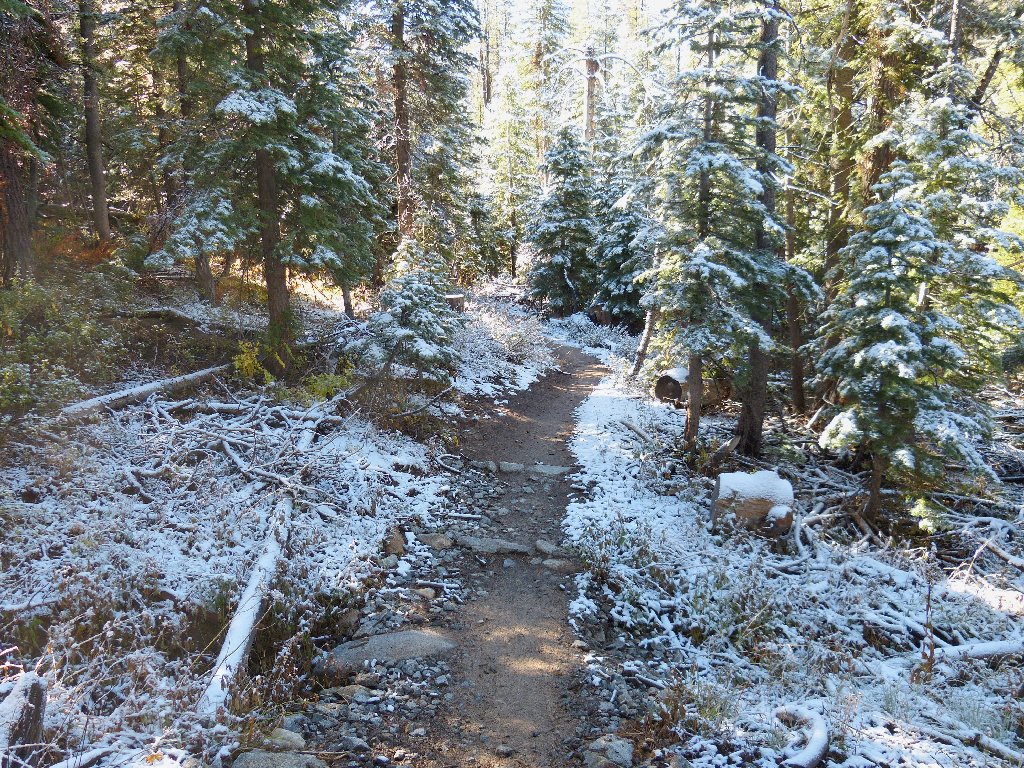
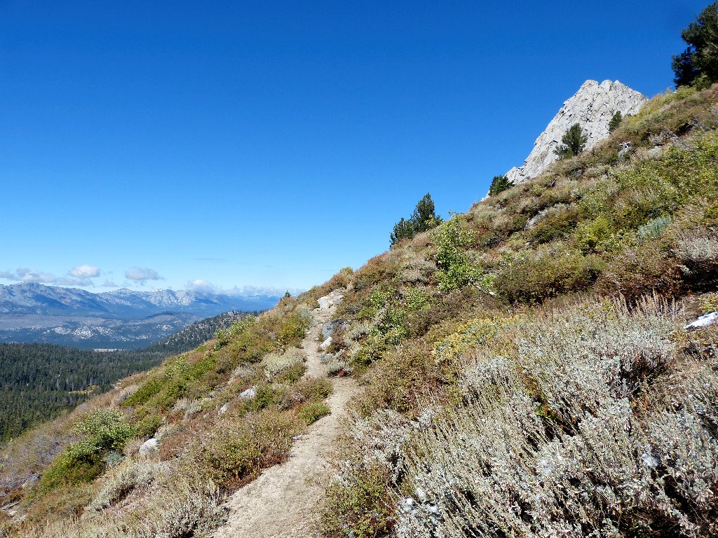
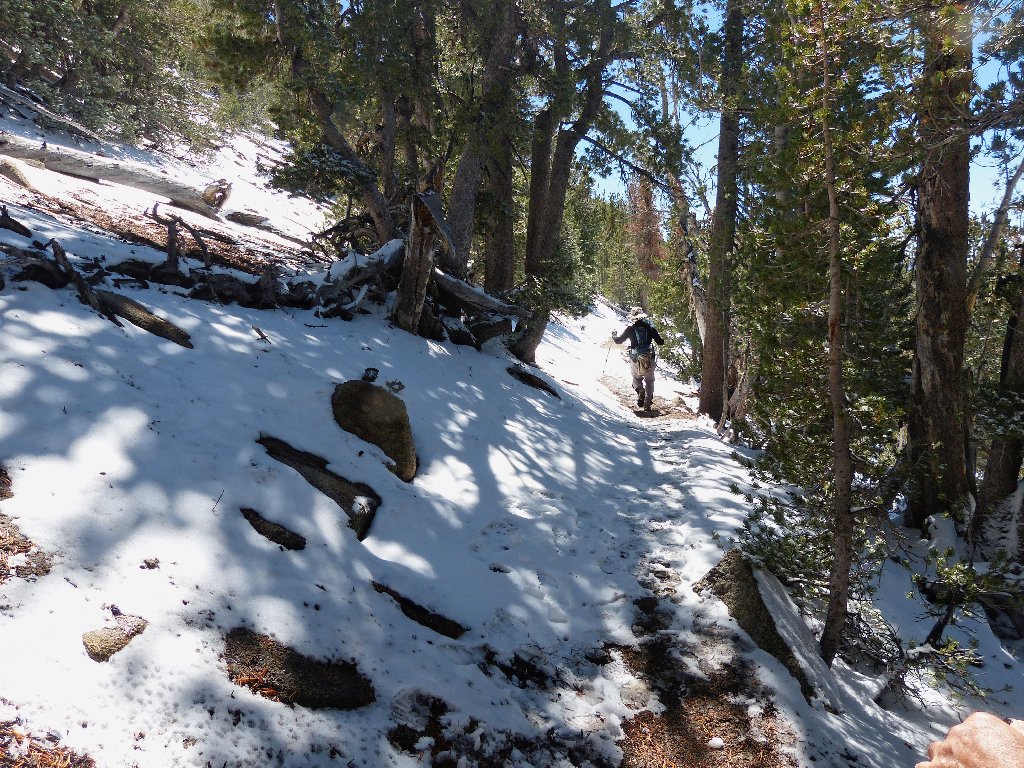
Getting started
The wintry effect actually adds to the scenery. A minor drawback is that water is continually dripping off the trees right onto my camera in its open pouch.
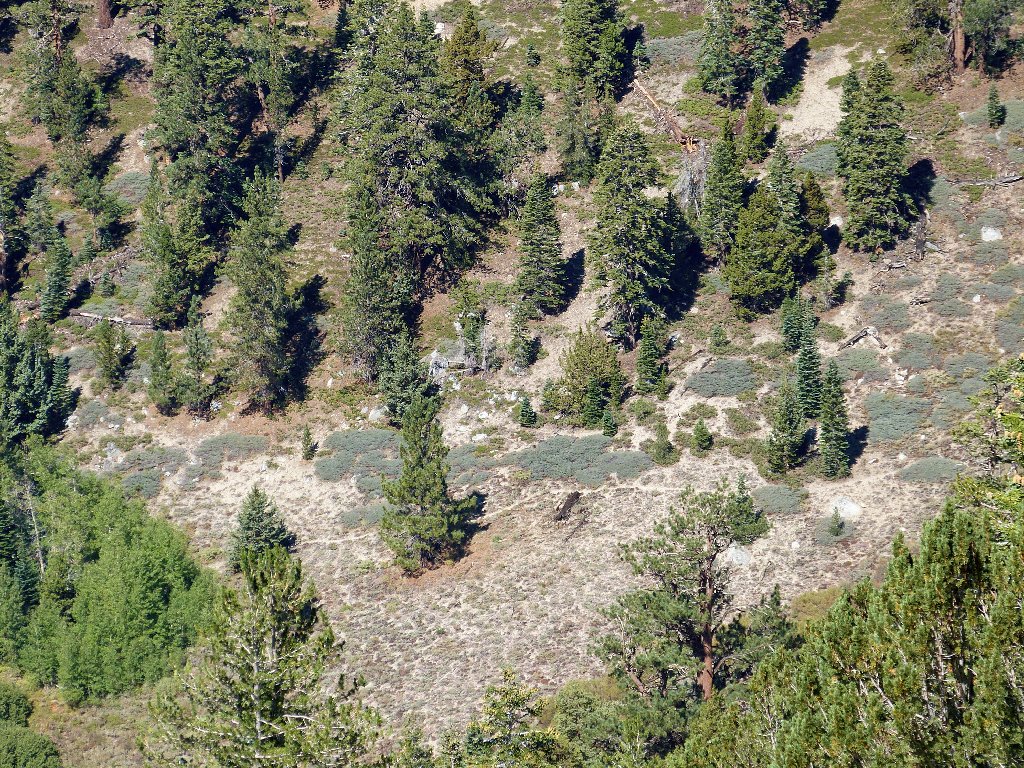
The next lap is on that far hillside
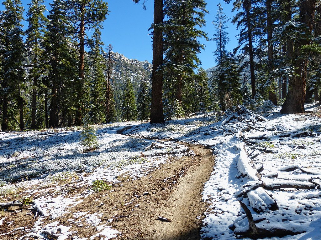
The trail has been rerouted specifically to accommodate bicycles,
winding round and round in a manner that never would be selected for
a hikers' trail. This makes for a gentle grade, but it adds about
50% to the necessary trail mileage. Ali and I cover this
four-mile segment without stopping for anything but a few photos.
Armstrong Pass is a four-way junction with the Tahoe Rim Trail
Coming up here from the south side of the pass would have been a much
shorter route; but I had previously scouted the access road (FR-51),
finding one washed-out section a bit too unfriendly to torture my
car on.
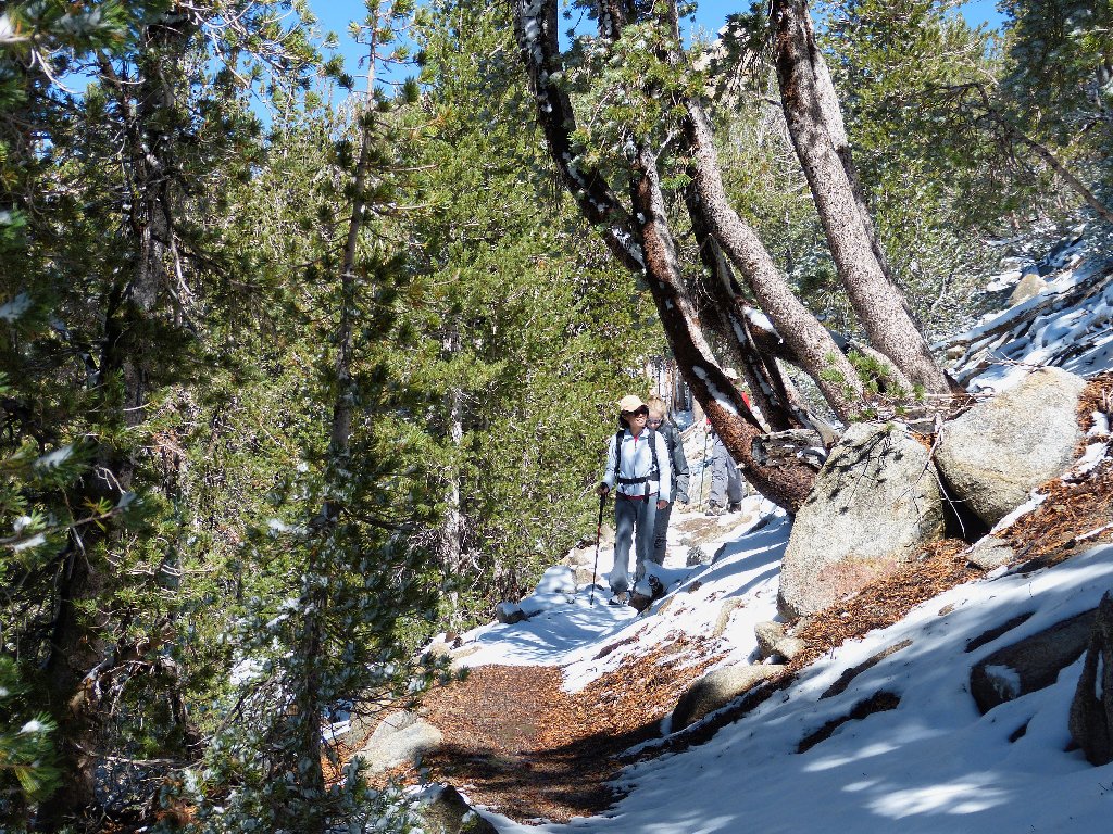
After informing Ali that there are another 2,000+ feet to climb, we start up the Tahoe Rim Trail, initially heading right back toward the trailhead, but on the opposite side of Trout Creek Canyon. Once we are out of the deep forest, some nice views begin to appear.
This side of the canyon has mostly melted off
Fountain Face
That rock and the homestead below it, Fountain Place, are named after
the area's original settlers, Garrett and Adelaide Fountain.
They built a way-station in the early 1860s, hoping to attract
traffic from the 49er gold rush area over to the silver strike near
Virginia City, Nevada. The Comstock Lode folks, however,
financed the construction of Daggett Pass to the north, now accessed
by Kingsbury Grade; so the Fountains never got much business.
No building remains at Fountain Place — just some cattle.
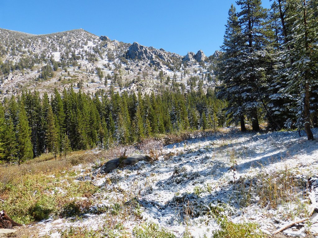
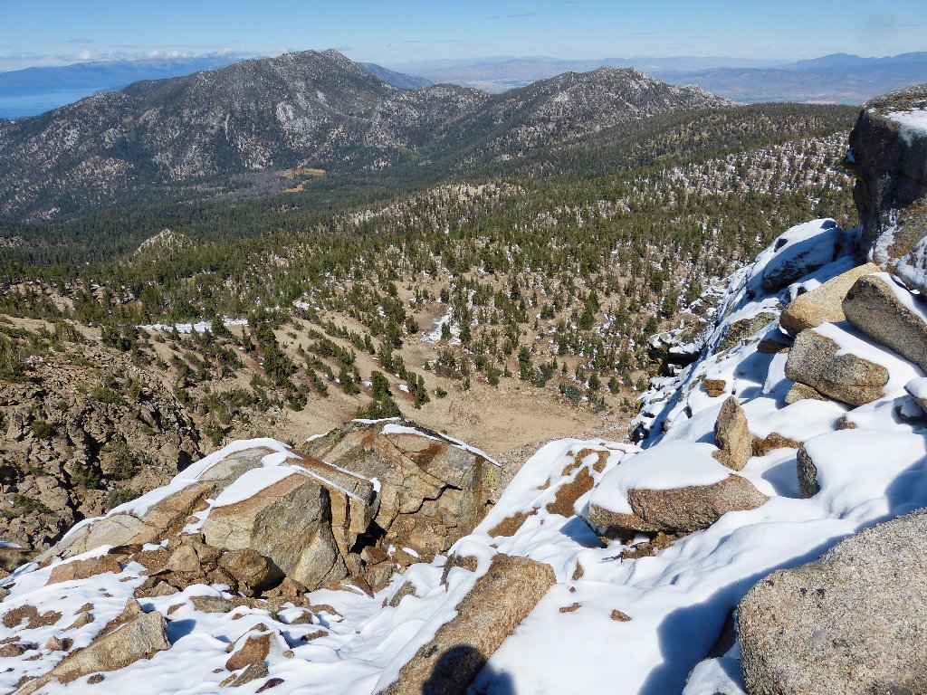
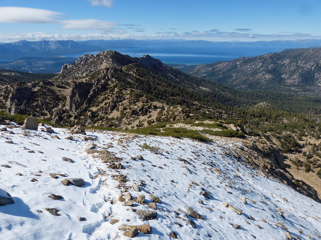
The heart of Desolation Wilderness is snow-covered
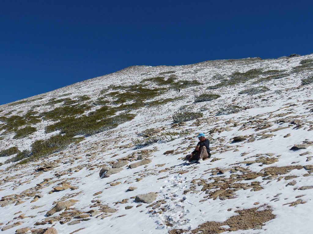
Around the next corner, snow reappears on the north-facing slope. Ali waits patiently during one of my many rest stops.
The trick is to find a dry rock to sit on
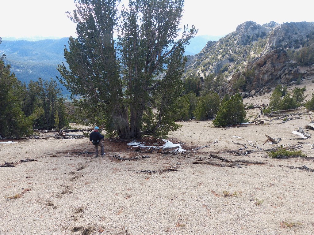
Across the little canyon are traces of an alternate trail. I am hoping to return by that route.
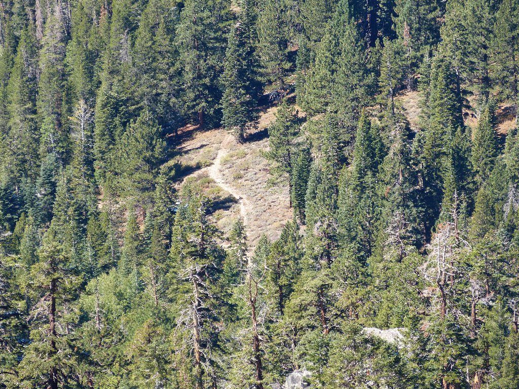
That shortcut should save many miles of walking later
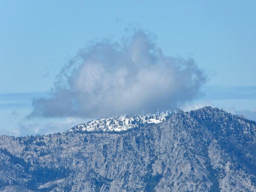
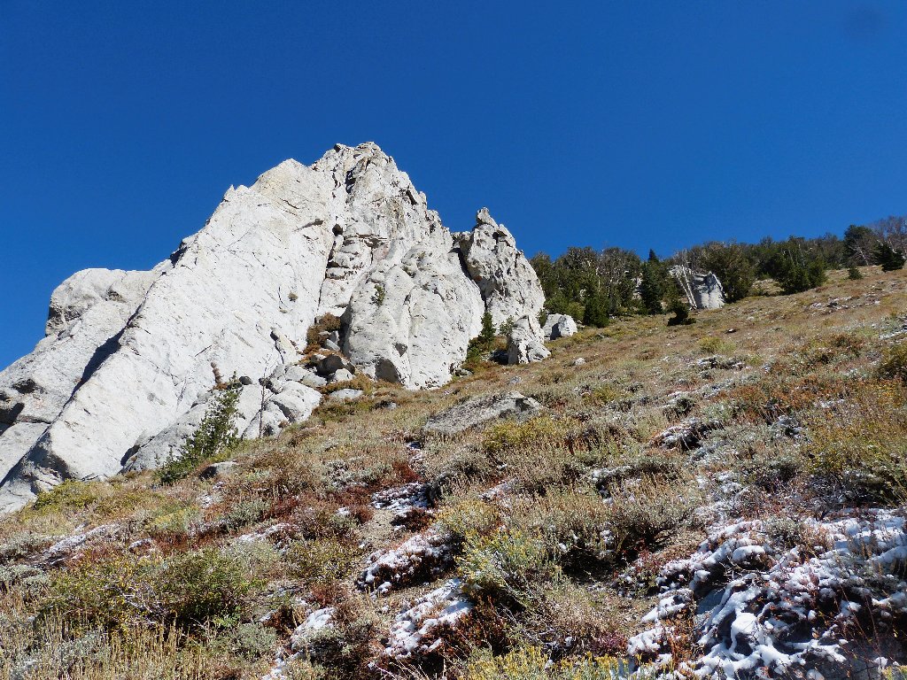
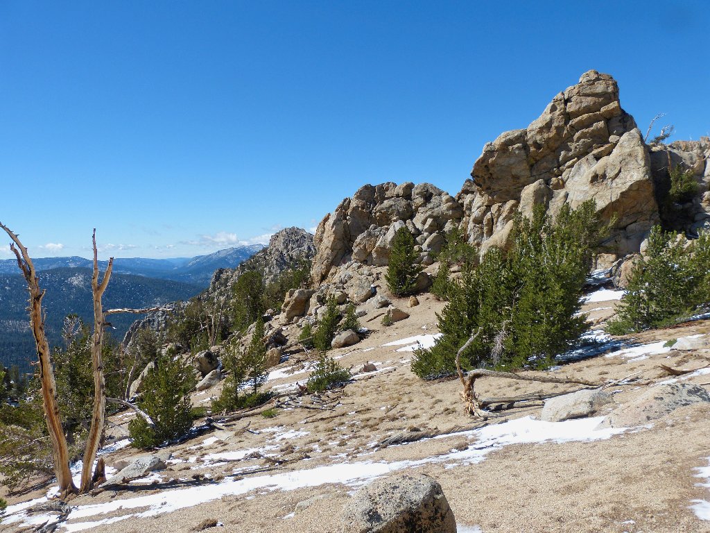
Nice cloud
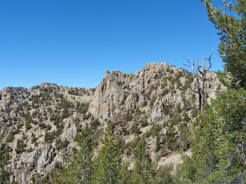
Nice rocks
It's not on every hike that one gets an opportunity to photograph icicles:
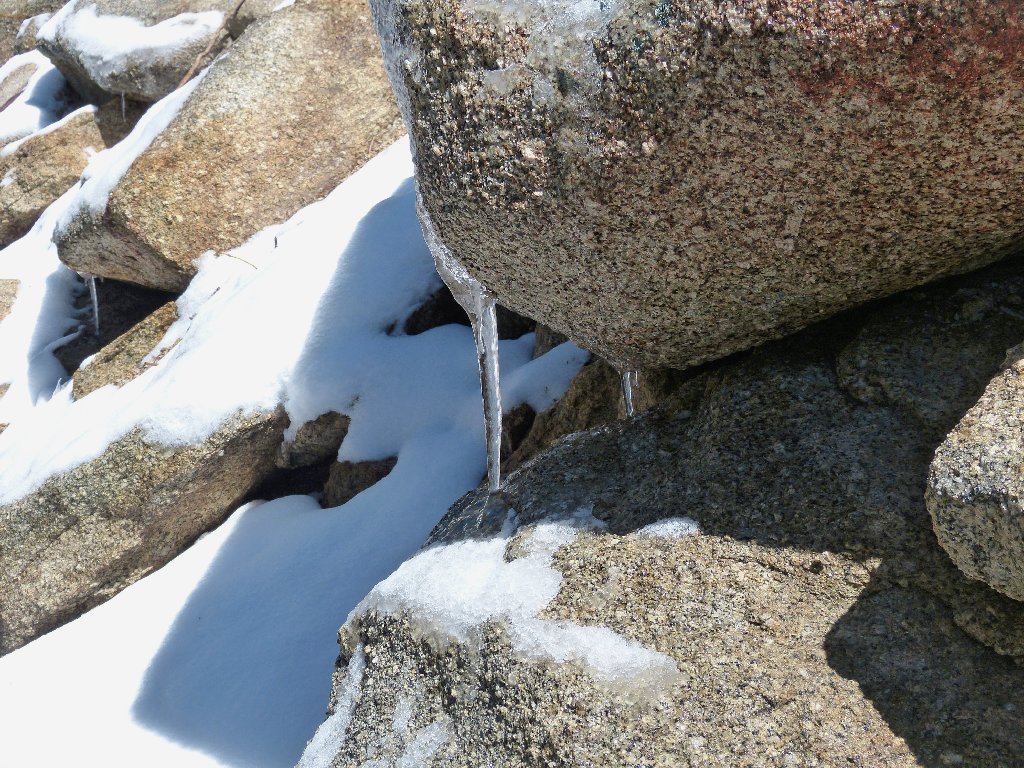
This one won't last long
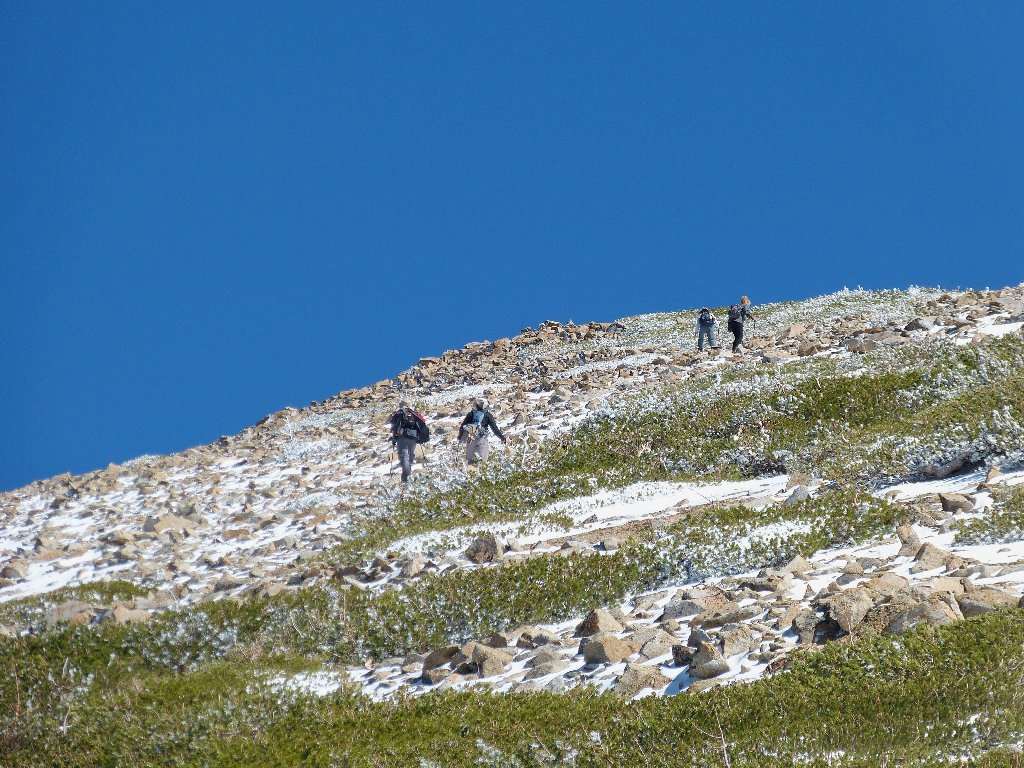
Although we would not have been surprised at being the only humans out here today, presently we hear voices ahead. A mixed foursome has come up the 'shortcut' trail, also bound for Freel Peak. Although I try to convince them that they have missed the easiest route, the leader's compass arrow is pointing in the other direction; so off they go down the path that we just came up.
Those guys are headed the wrong way
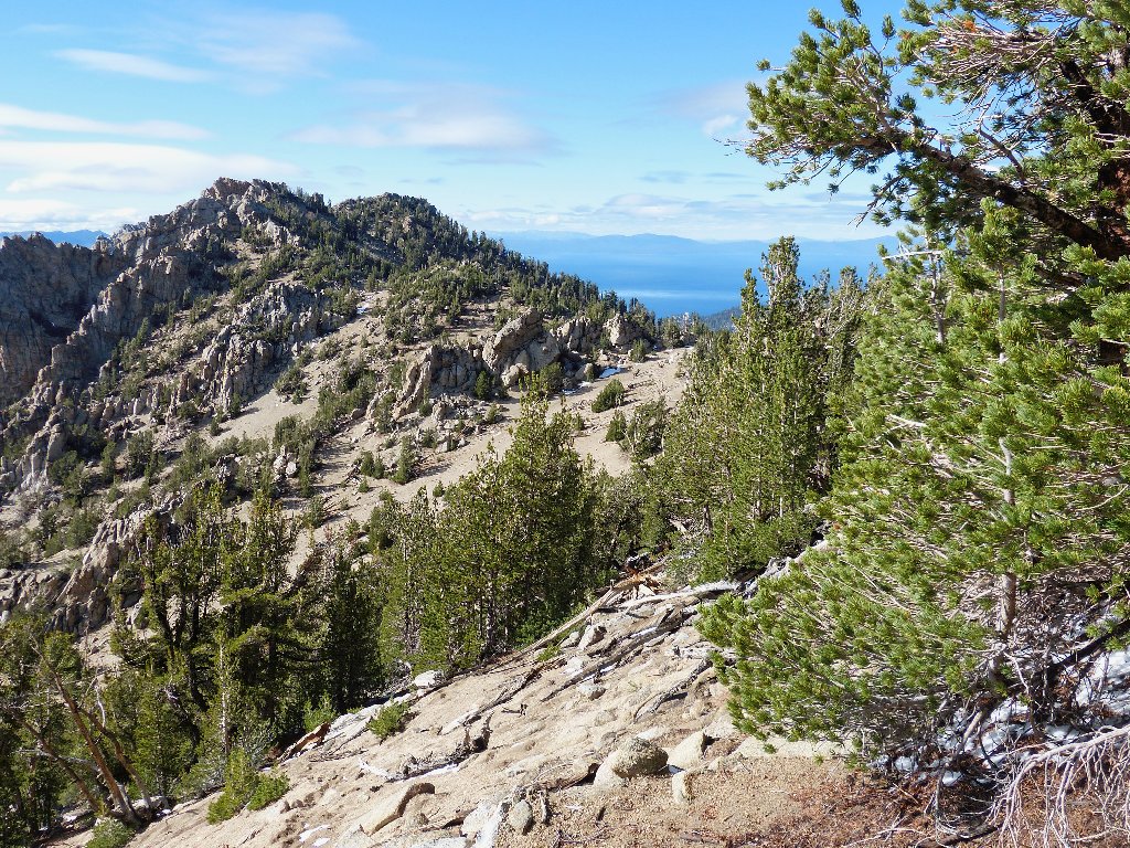
It cannot be far from here to Freel Pass (which name never actually appeared on maps). Nearing the top, I can guess what went wrong with the others. They intersected the Tahoe Rim Trail just short of the high point, thereby missing the summit trail marker.
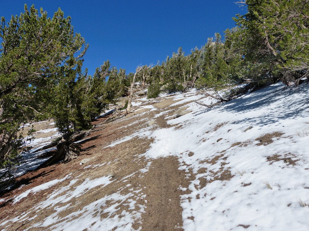
nearing timberline
Freel Pass, highest point on the TRT
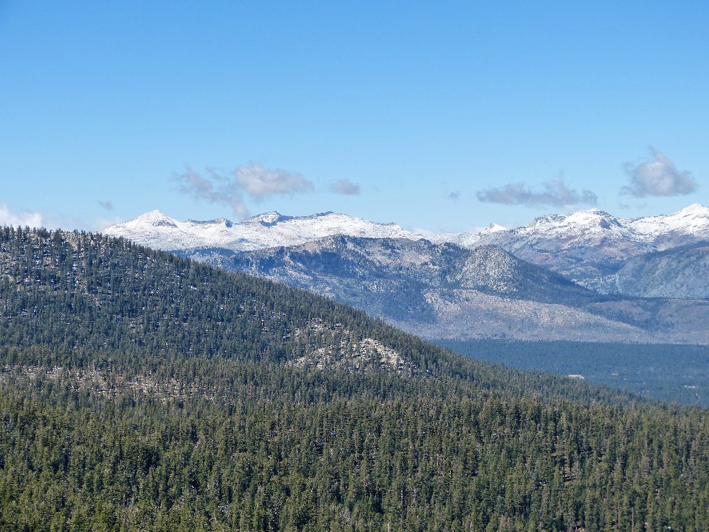
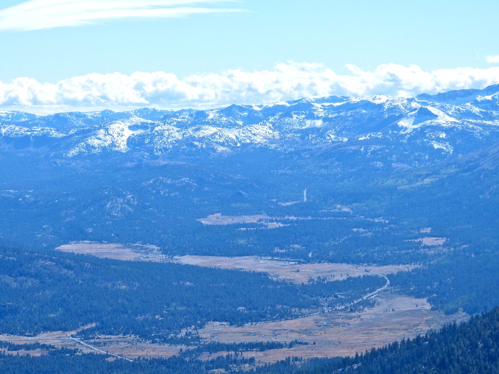
Having anticipated some great views here, we are not disappointed. For the first time on this hike we can see a substantial portion of Lake Tahoe, which nearestpoint is seven miles away.
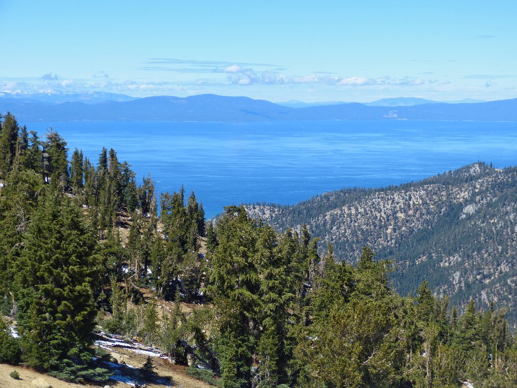
Big Blue is splendiferous
Right where it logically should be is a signpost for the final ascent.
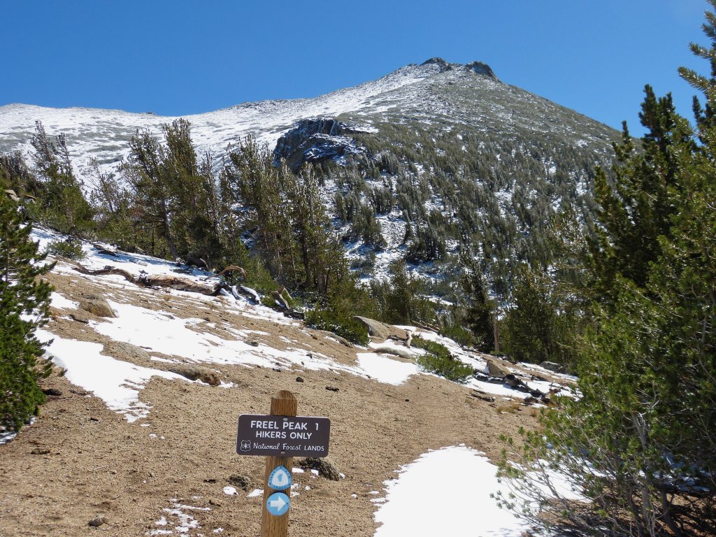
Bicyclists would not be happy beyond here
It doesn't look like fun ahead — just more rocks, snow, and hard work.
For a time, the trail hugs the edge of a great cliff in spectacular fashion. I love it when they engineer trails in such a manner. The gradient, however, is a reported 45% in this area, which is truly horrid.
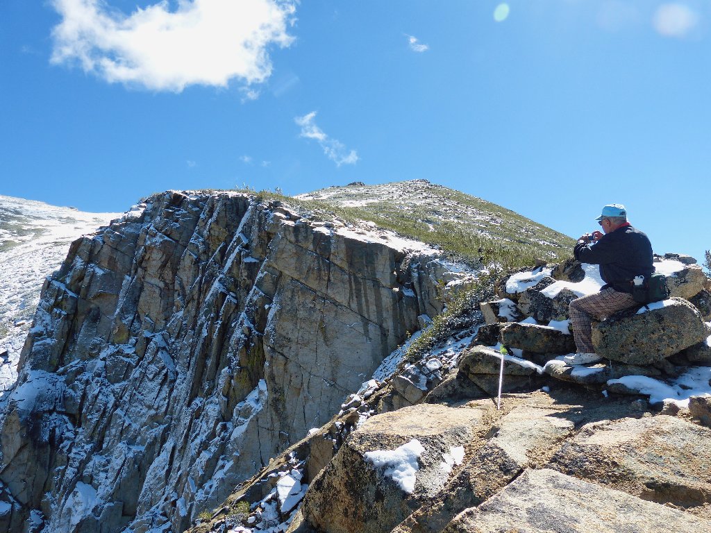
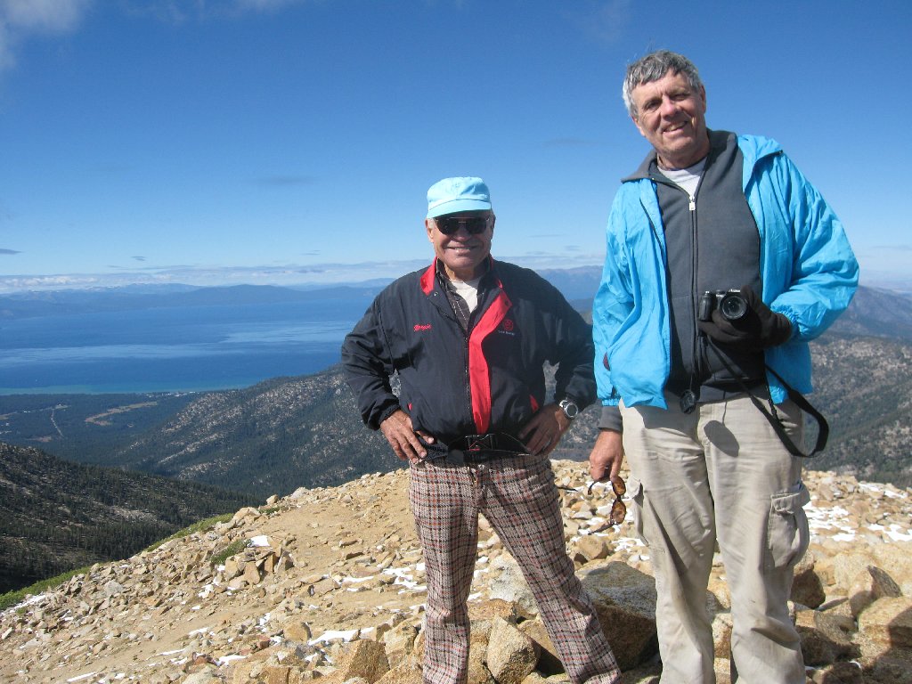
Ali the Photographer
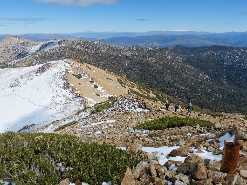
The four others have found their way back onto the trail up ahead, after some steep bushwhacking. Ah, to be young again...
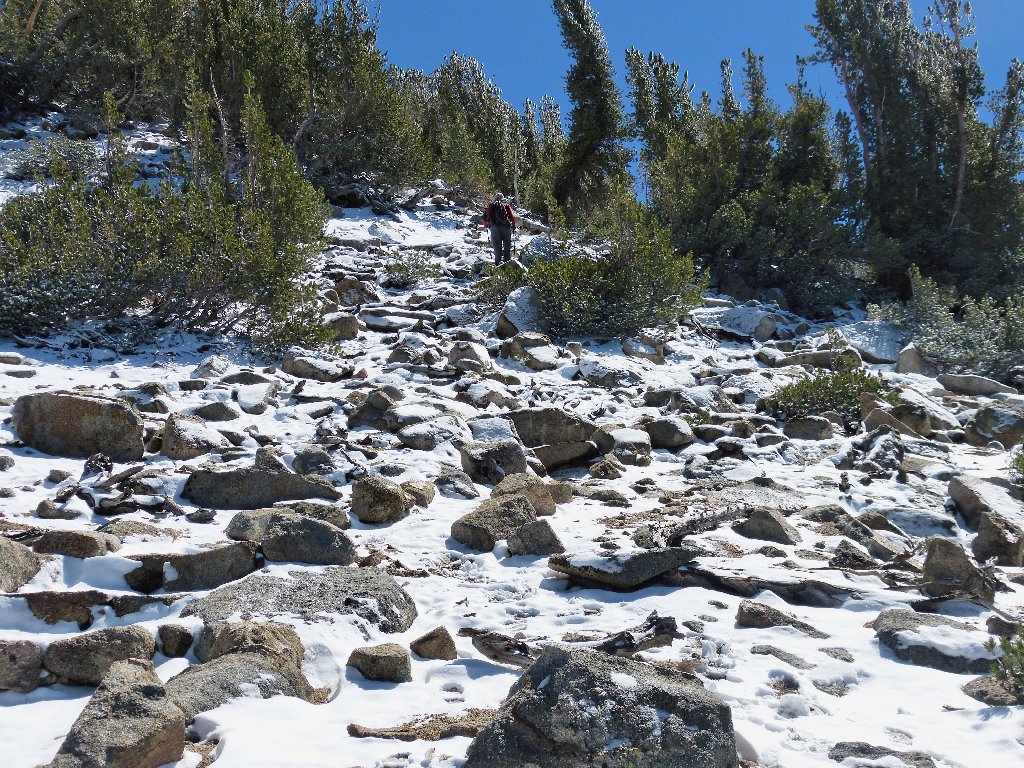
There is just enough snow to confuse everyone as to the location of the trail, and the group ahead promptly loses it. Following along like lemmings, I for one am grateful for the additional traction provided by the boot prints in the snow.
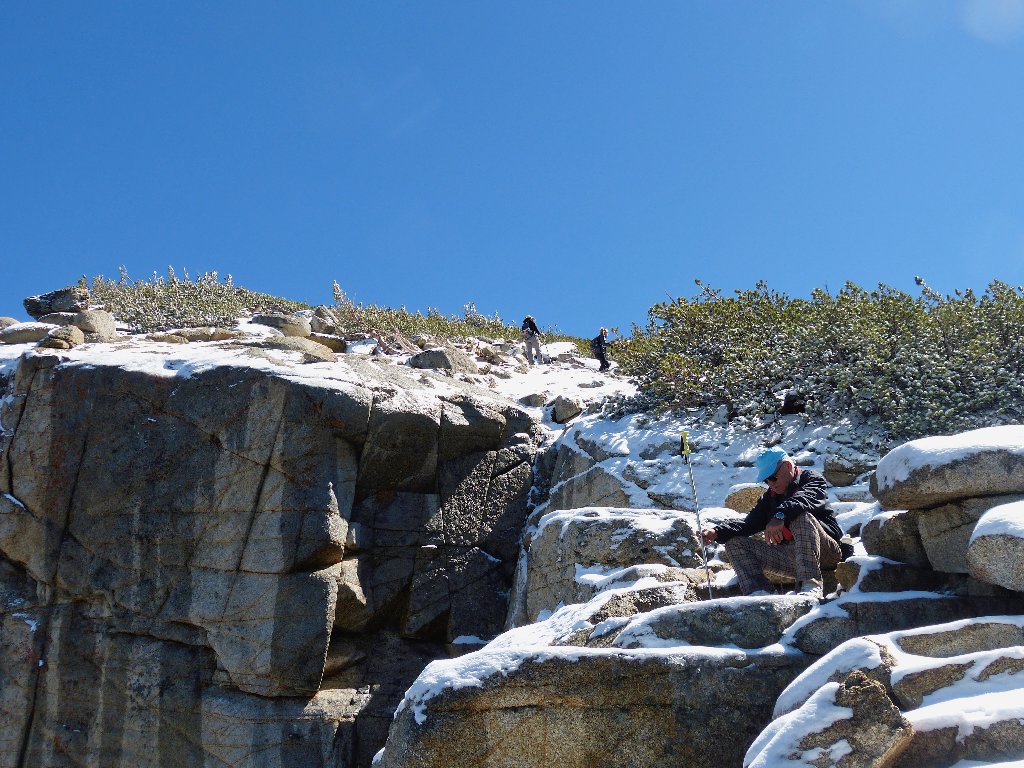
Everyone is heading directly toward the summit
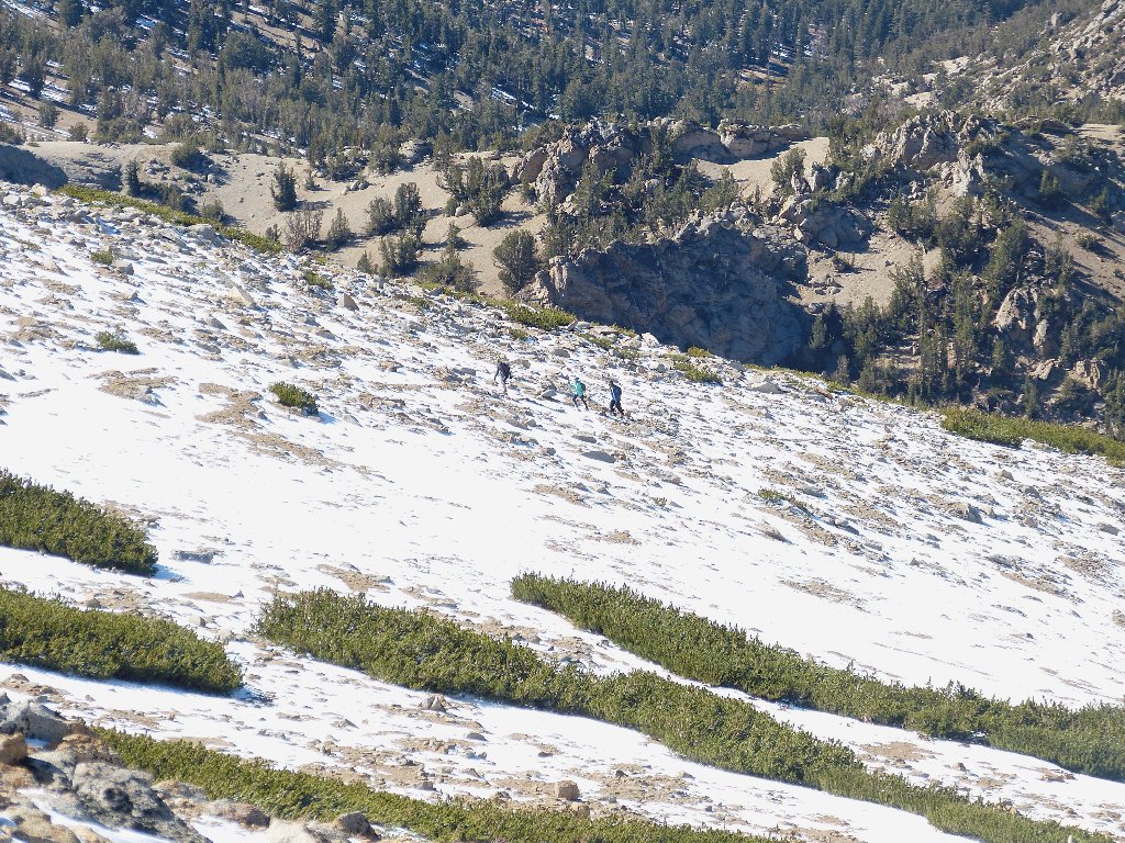
Although the grade has leveled out somewhat, the going is quite taxing; I must be off my feed or something. Needing to stop for a breather at uncommonly frequent intervals, at times it is all I can do to find a piece of rock to rest on briefly. In one place the next dry spot is too far away, so I flop down in the wet snow.
Those objects are not as close as they appear
800 feet to go. 600 feet. I should stop looking at the
damnable GPS. With 400 feet remaining, I need to put on layer #5,
a windbreaker. I am so weary that it takes several minutes to sort
out the sleeves and get the thing on with the wind fighting me at every
turn. Nobody else is having such problems, though; in fact, Ali is perched
on a rock just below the summit, refusing to complete the ascent without me.
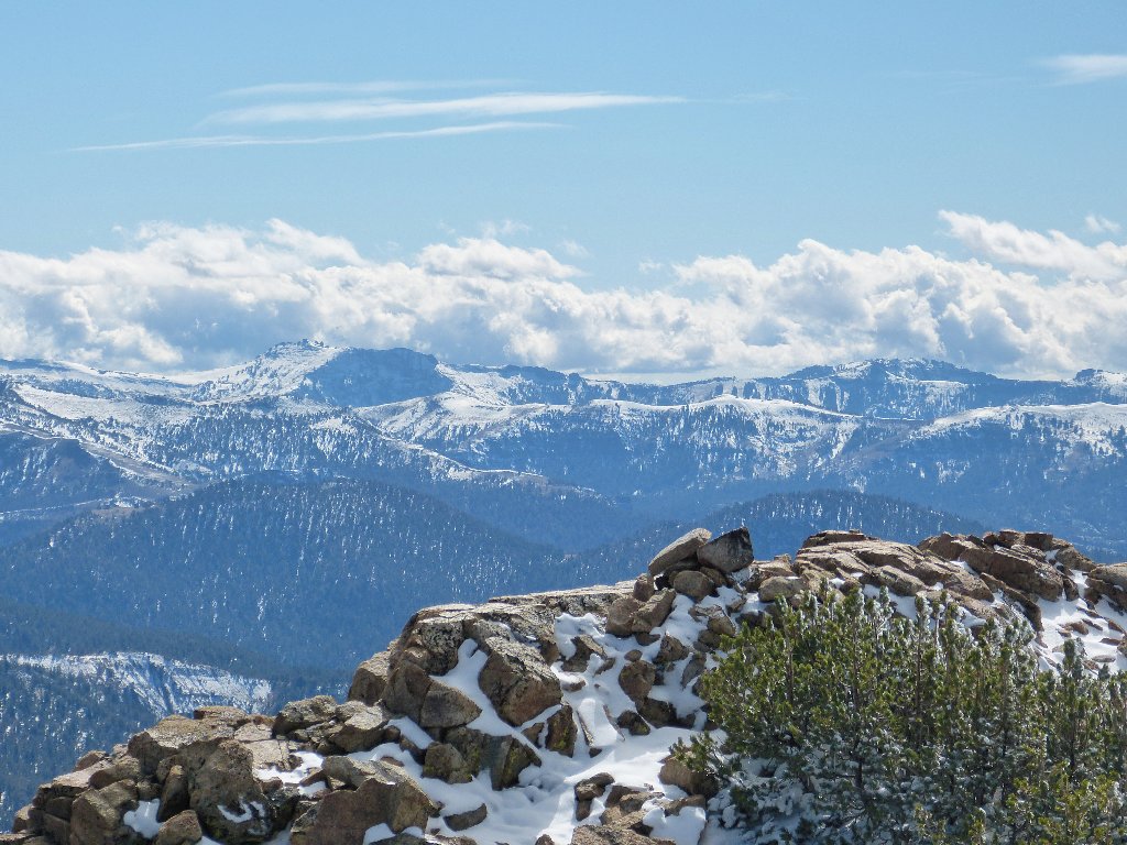
The summit vistas are, of course, breathtaking. At 10,886 feet,
this is the highest point in the Tahoe Basin. The 360-degree
view is spectacular.
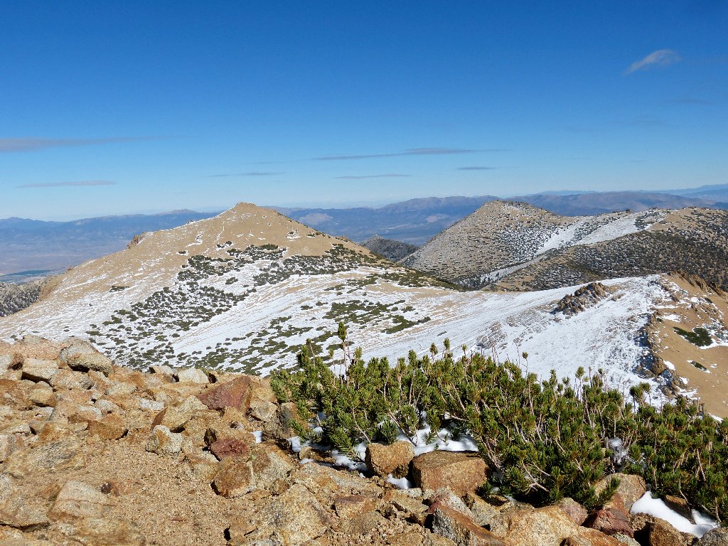
Jobs Sister and Jobs Peak overlook Carson Valley to the east
The Sierra Crest in the southwest
Formerly known simply as Sand Mountain, Freel Peak apparently was named by William Eimbeck of the U.S. Coast and Geodetic Survey after squatter James Freel, a miner and rancher from Illinois who settled at the foot of the mountain. The name Freel's Peak appeared on a Wheeler Survey map in 1881.
Hope Valley is 4,000 feet below
After exchanging cameras for photos of each other's groups, the foursome departs, headed for Jobs Sister. Not being up for that option myself, I wish them well.
The oldest hikers on the trail have no feet
Their future route is well-defined
It took Ali and me a full five hours to get up here, so it is time to
start back. Although I am not looking forward to a steep downhill in
the slippery snow, it proves not to be at all difficult. I remain on
the trail which now is plainly visible, shuffling contentedly through the
six-inch drifts. In contrast, Ali prefers to avoid the white
stuff, hopping along the tops of the rocks instead.
A threesome approaches from below
Down and to the right is the non-trail that the six of us
forged on the way up:
I subsequently lose the best route; but it is easy enough just to head for the saddle, where Ali is waiting. I opt for us to take the shortcut route down from here, knowing that my knees might not like the steepness of the grade.
Leaving the Tahoe Rim Trail
The soft sand proves easy and fun to negotiate. Almost simultaneously, Ali and I conclude that the other hikers got it all wrong. When there is an option, a hill such as this is better traversed in the downward direction, so that gravity can work favorably. Extra distance is achieved by letting one's feet slide with each step; whereas, if traveling uphill, progress would be lost by sliding backwards on a regular basis.
Last view of the lake 4,800 feet below
It is greener now, and warm enough for me to remove a big sweatshirt during
one of several knee-recuperation stops. The aspens across the way
are just beginning to change color; last night's freeze should help them along.
Autumn has arrived
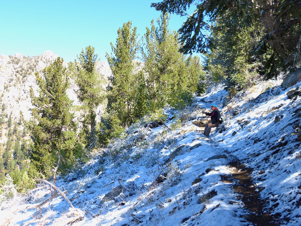
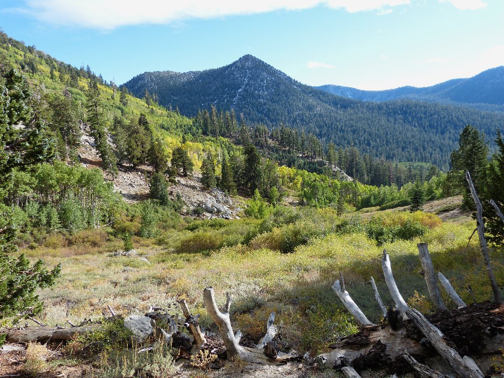
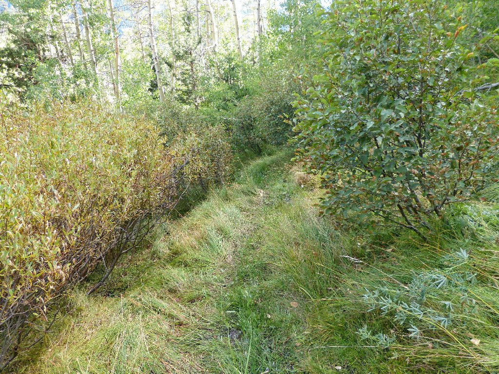
Soon we must traverse a series of aspen thickets. The trail is virtually overgrown in places, and there are many fallen branches to negotiate; but the route is defined barely well enough that we are able to keep track of it without a miscue.
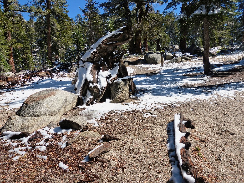
Well! Having descended 3,000 feet in three miles, it's no wonder that
my legs are a bit out of sorts. As we approach Fountain Place, the use
trail morphs into an old road. This is good, because now the going will
be easy. Observing a couple of "No Trespassing" signs posted on
trees, we continue another mile or so to the trailhead, where the air
temperature has risen to 50 degrees and all the snow has disappeared.
Aspen thicket
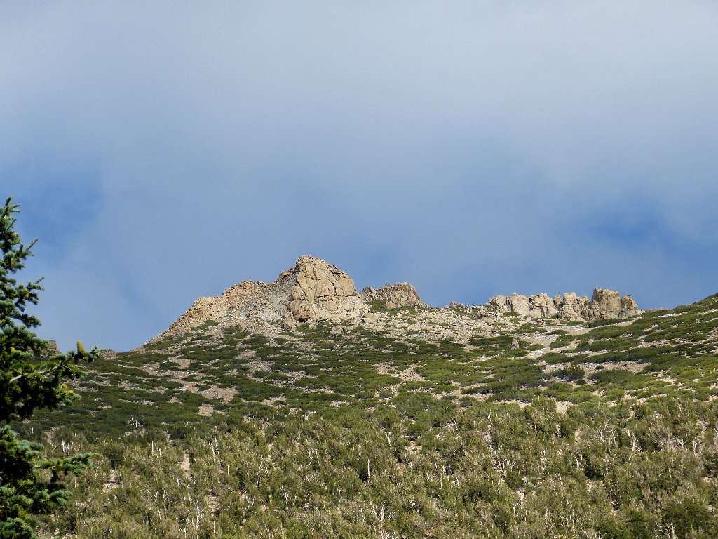
Trimmer Peak above, 9915'
§: Well, I survived a difficult hike that included an ascent of
3,100+ feet, my fifth-greatest ever. Both the adventure
and the summit panorama were grand, as expected.
Doing this trek in the wake of a snow flurry enabled us to avoid the
bicycle crowd that frequents the Tahoe Rim Trail in better weather.
The shortcut downhill route, which I recommend, saves a full four miles of
walking; otherwise, it's a 15-mile round-trip.
| Scenery |  |
| Difficulty |  |
| Personality |  |
| Solitude |  |
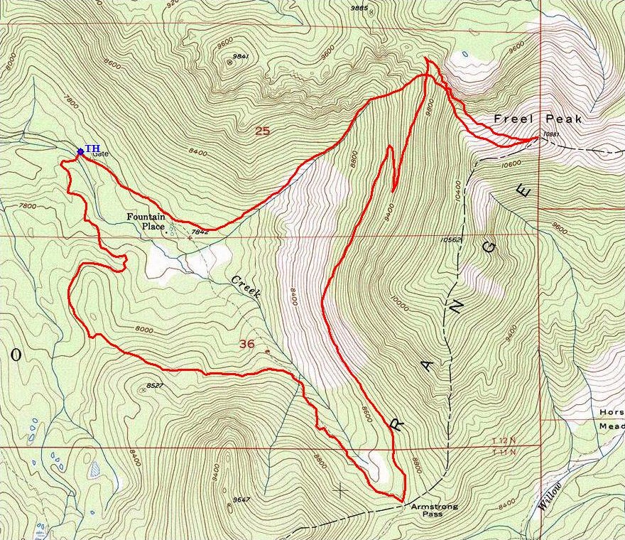
The route (counter-clockwise)
 |
September 2021: The Fountain Place route is burned for several miles. Access from Luther Pass or Hope Valley is unaffected. |
