
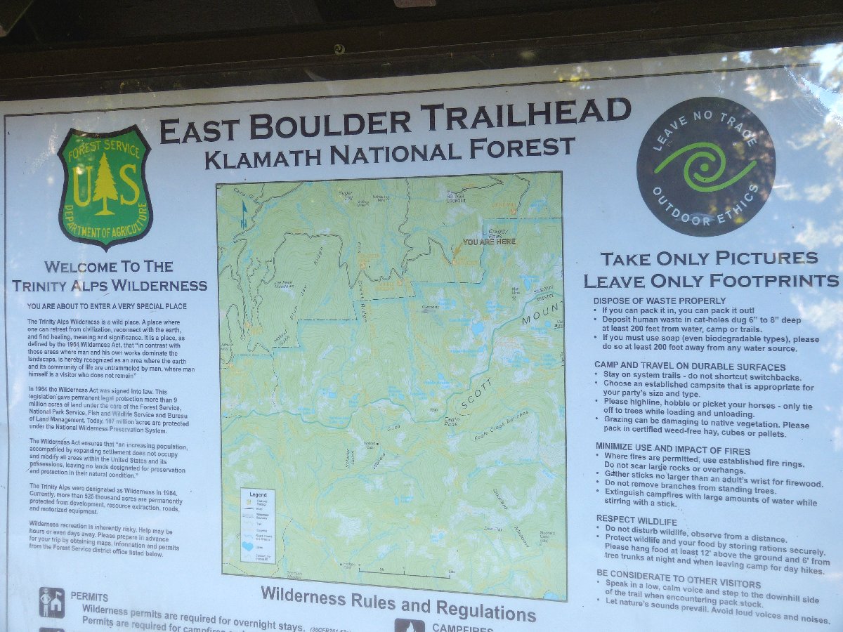
Trinity Alps Wilderness
|
East Boulder Lake Loop Trinity Alps Wilderness |
September 5, 2013
Smoke from the Rim Fire in and around Yosemite Park has all but killed hiking opportunities in the Sierra for several weeks now, so I must get my fix elsewhere.
Two years ago I climbed Mount Eddy just west of Mount Shasta.
Yesterday, I did a little three-mile warm-up near Etna
Summit to the north of here, after abandoning a poorly selected, boring
route elsewhere. This will be just my second meaningful foray
into the mountains of the northern state.
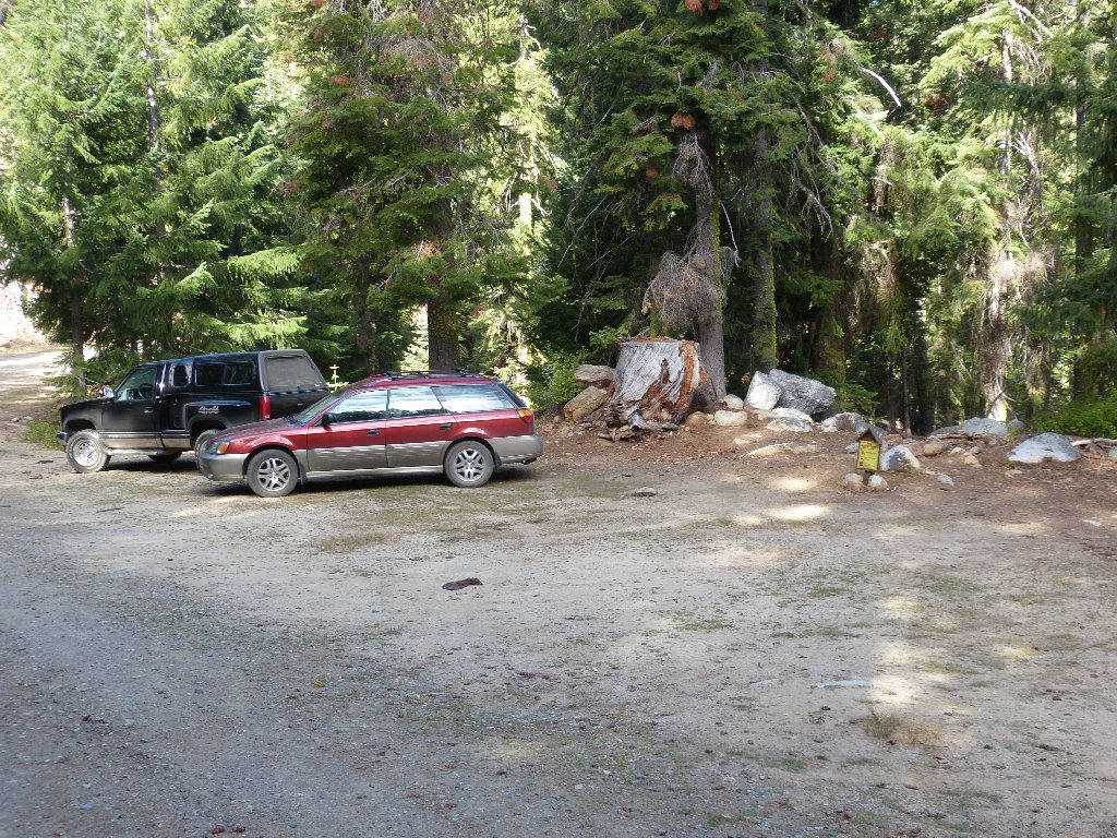
Unlike either of yesterday's trailheads, there is another vehicle at this one. Perhaps I actually will meet another human on the trail today.
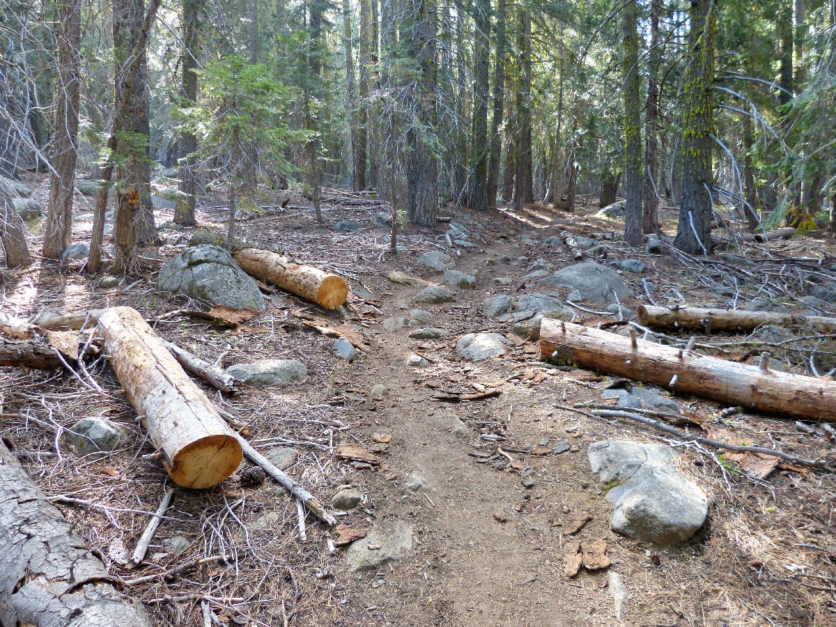
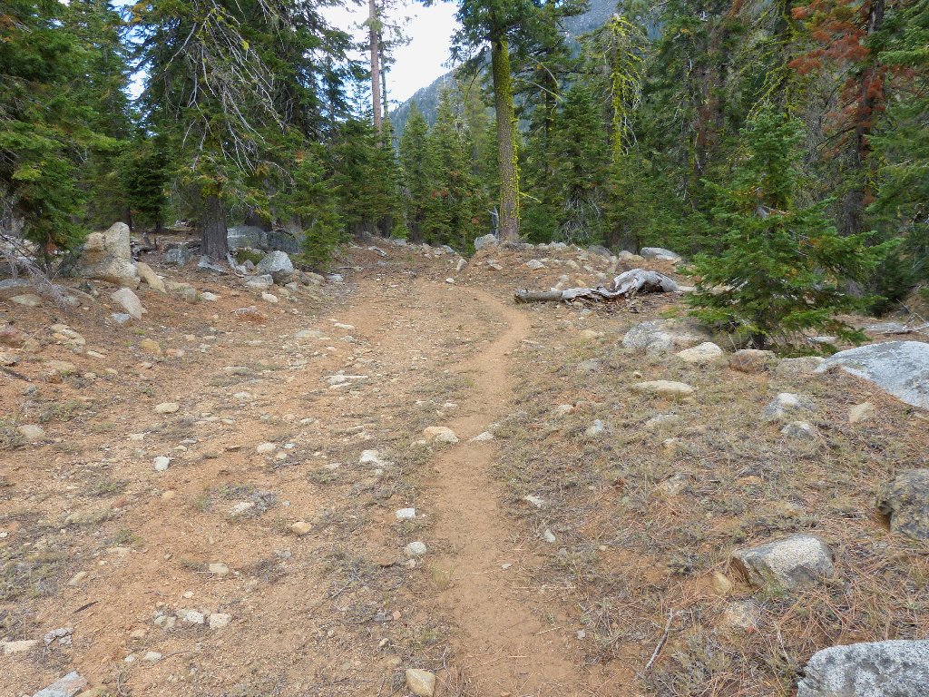
Getting started
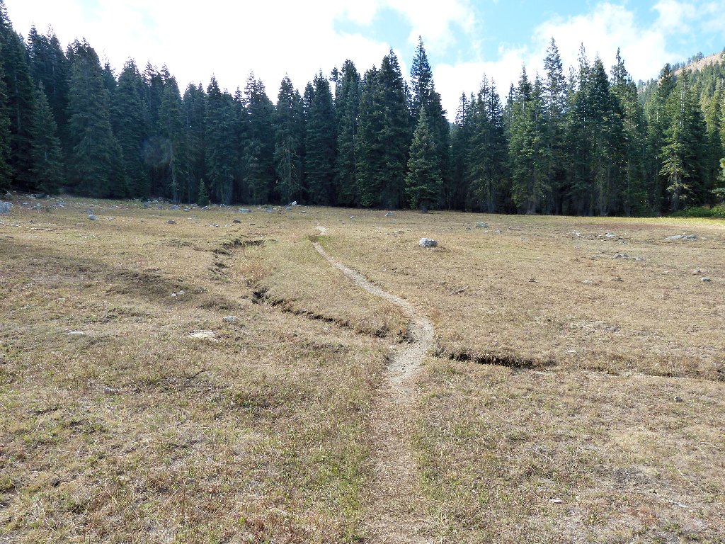
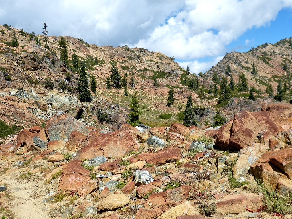
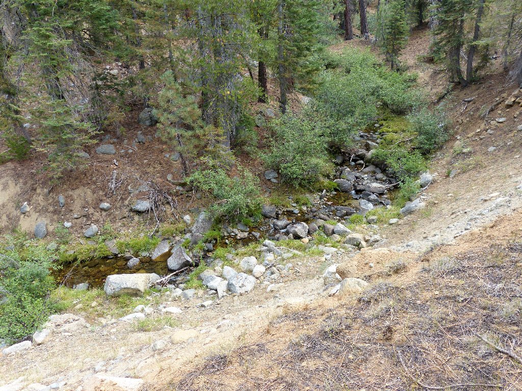
The trek begins in typical late-summer fashion — dried-up
forest and dried-up meadows. East Boulder Creek does still have
some water in it, however.
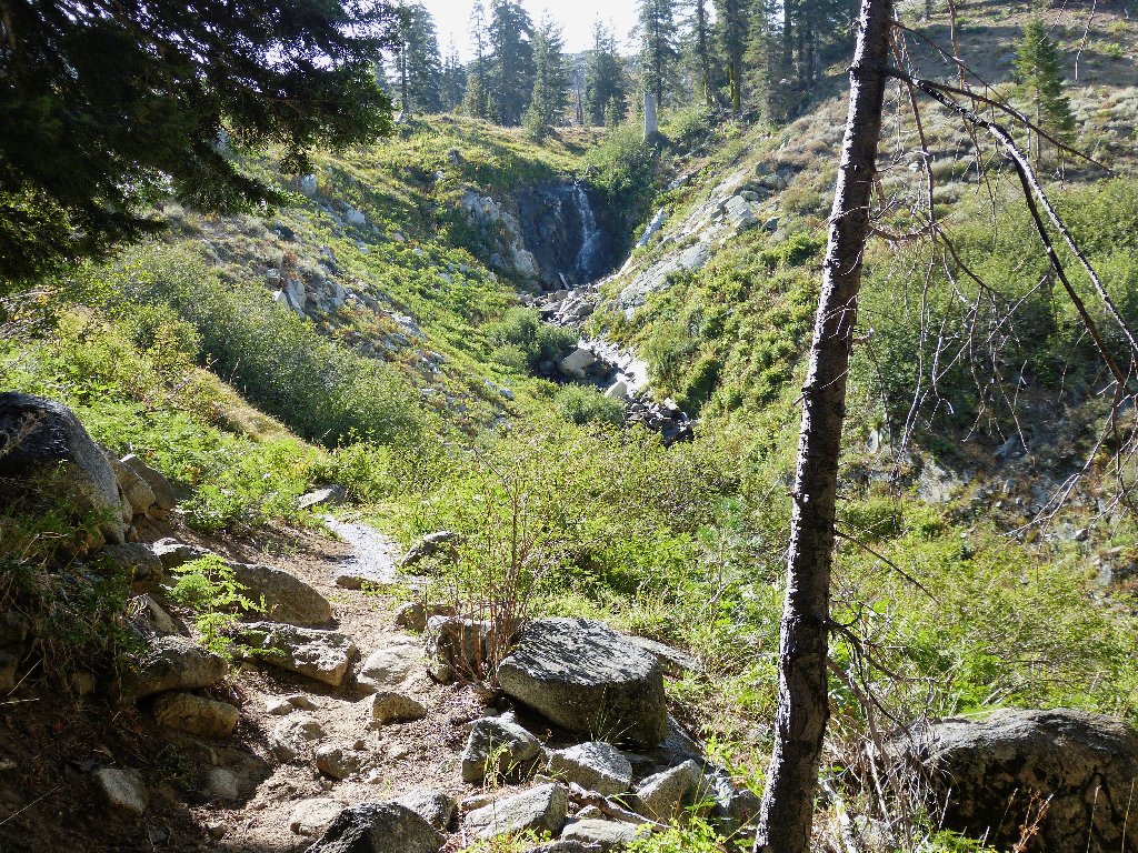
A short mile gets me to the wilderness border; it is another short mile to the first attraction:
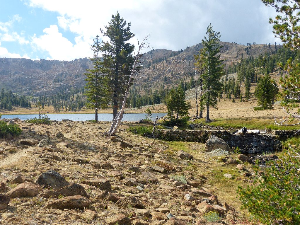
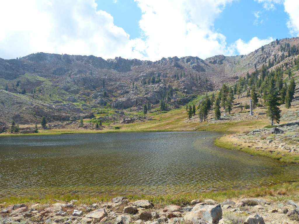
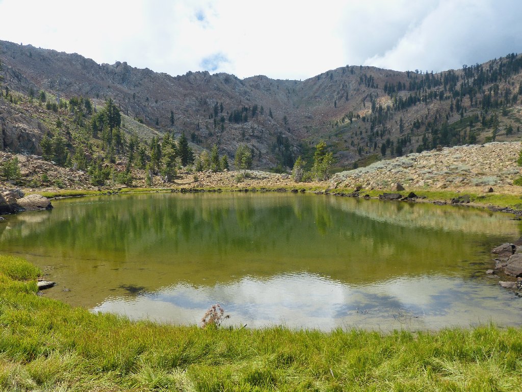
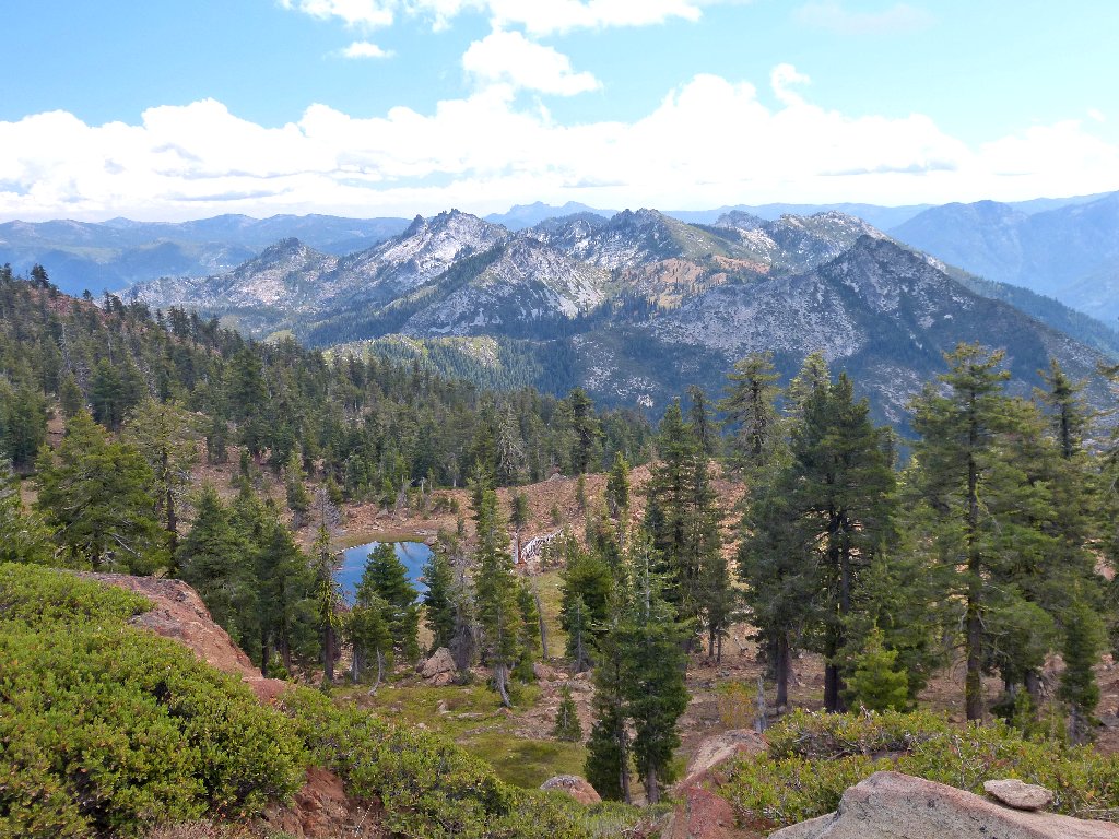
East Boulder Lake
Being some 32 acres in size, this reportedly is the biggest lake in the northern Trinity Alps.
Standing on the dam
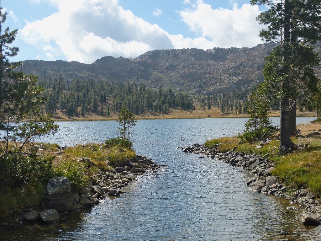
Another quick mile of walking around the right side of the lake gets me over a little hump to the next stop.
Upper Boulder Lake and the crest of the Scott Mountains
The planned route is to circle around behind those cliffs and spires, which should make for an interesting trek.
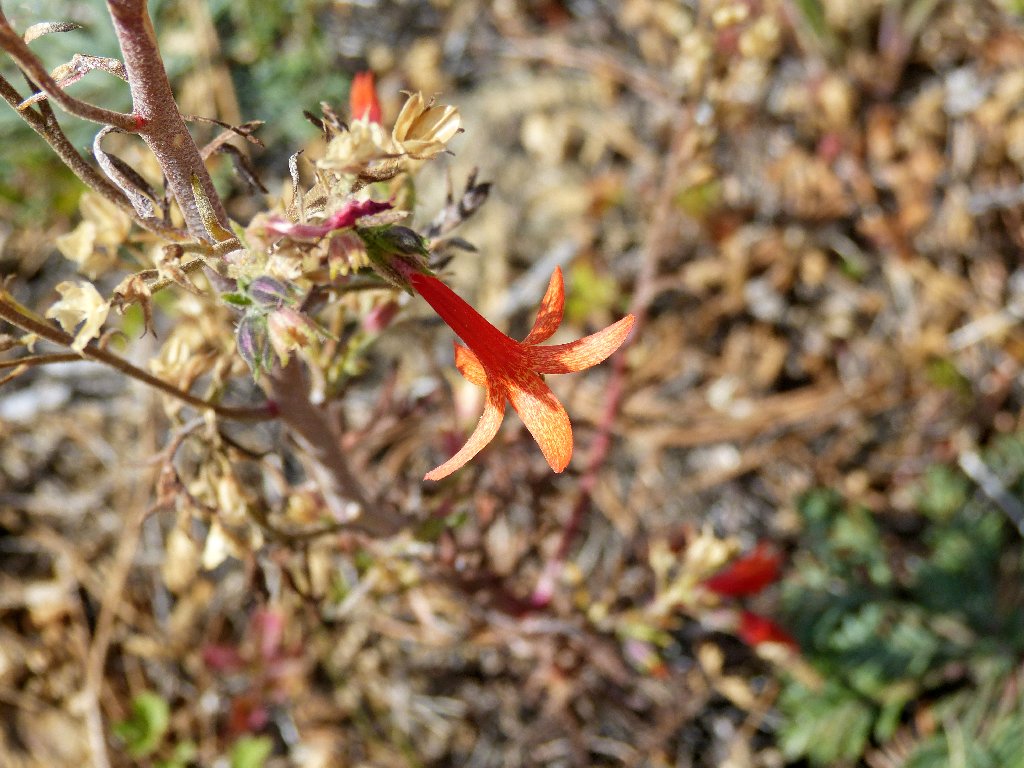
Firecracker
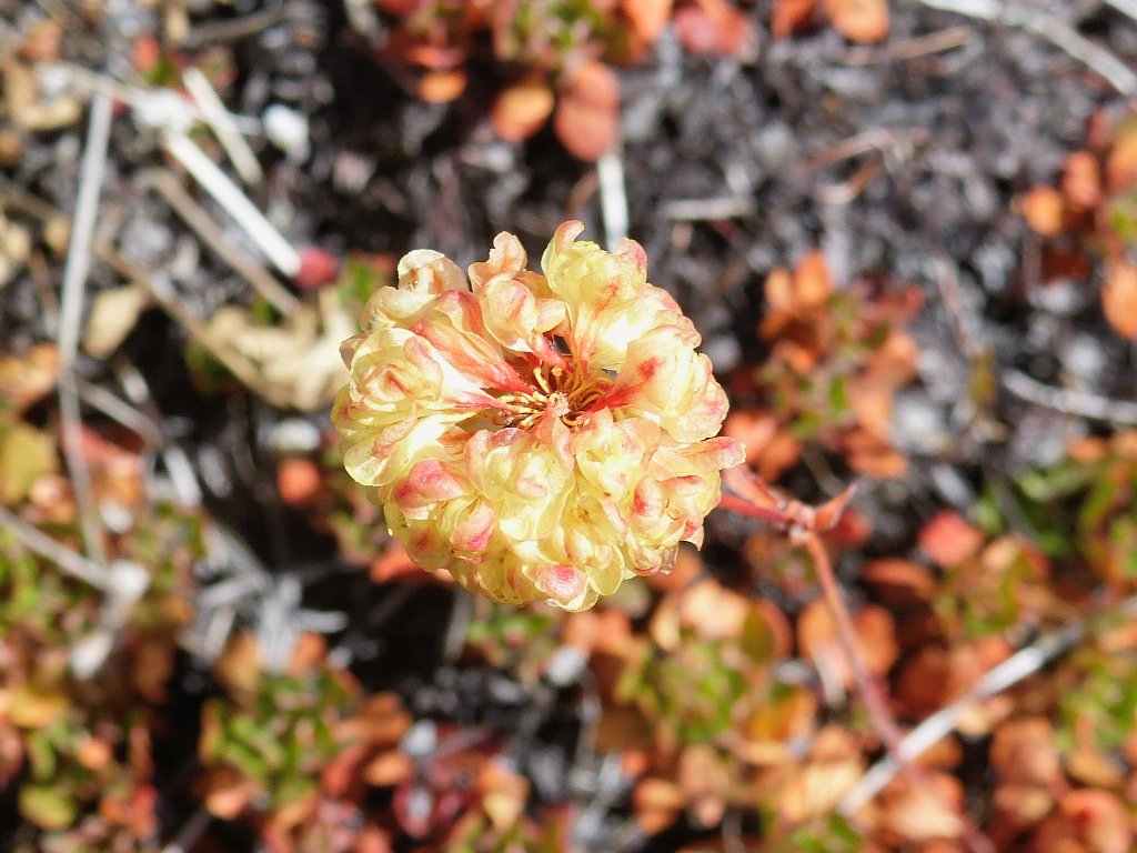
Sulfur Buckwheat
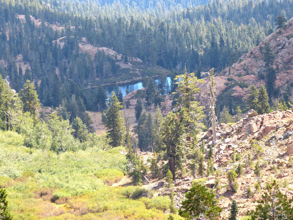
Just behind this lake are two ponds. Photographs of them should be better farther on.
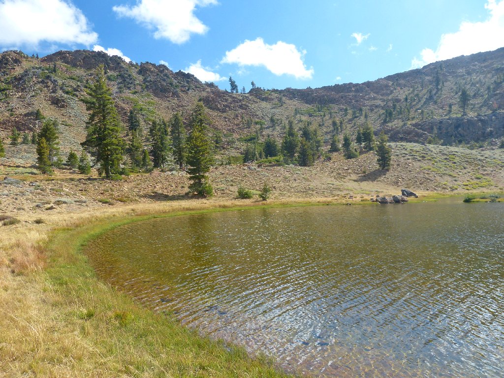
Upper Boulder Lake
Pond #2
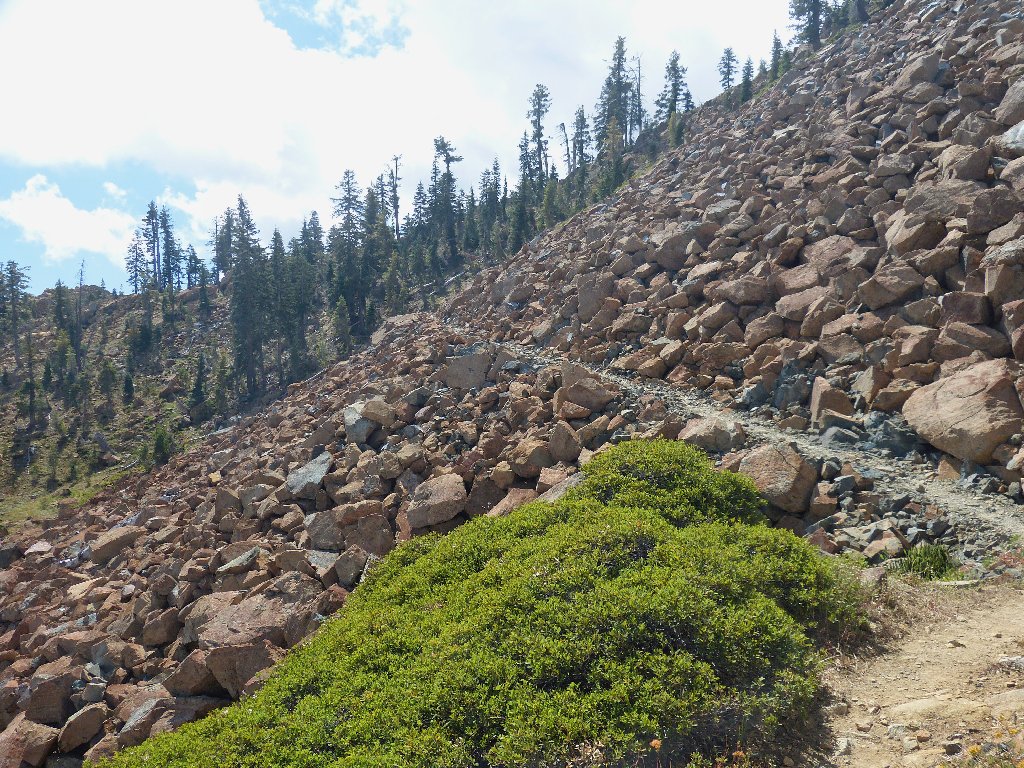
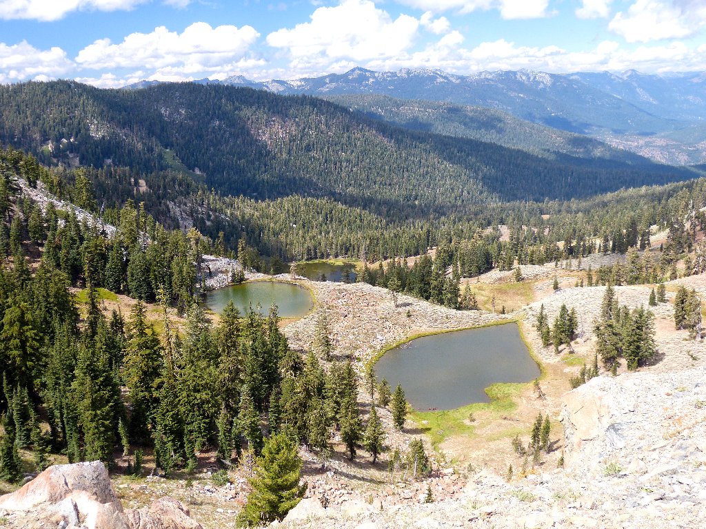
A cliff several hundred feet high must be surmounted next. The going is steep, but not difficult. Halfway up, I get the nice photos I was hoping for.
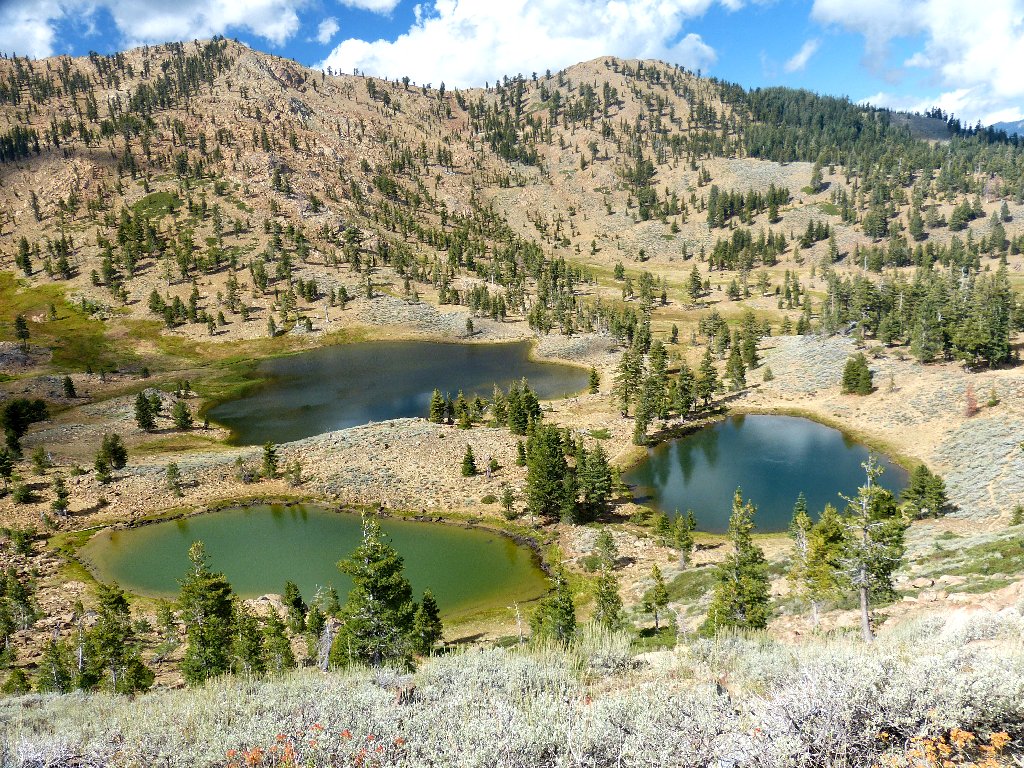
Pond #2 and Pond #1 in front of Upper Boulder Lake
At 525,000 acres, the Trinity Alps Wilderness is California's
second-largest. Protected since 1932, it was added to the
National Wilderness Preservation System in 1984.
East Boulder Lake
The going isn't too bad
I approach the saddle with interest, for the prospect of nice views from the pass always is exciting.
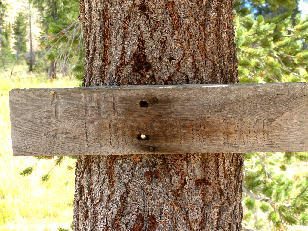
The PCT is right over there
About a hundred feet below the summit is a junction with the Pacific Crest Trail. The sign the lists East Boulder Lake should have an arrow pointing to the right, but it is worded as if going forward would take me back from whence I just came.
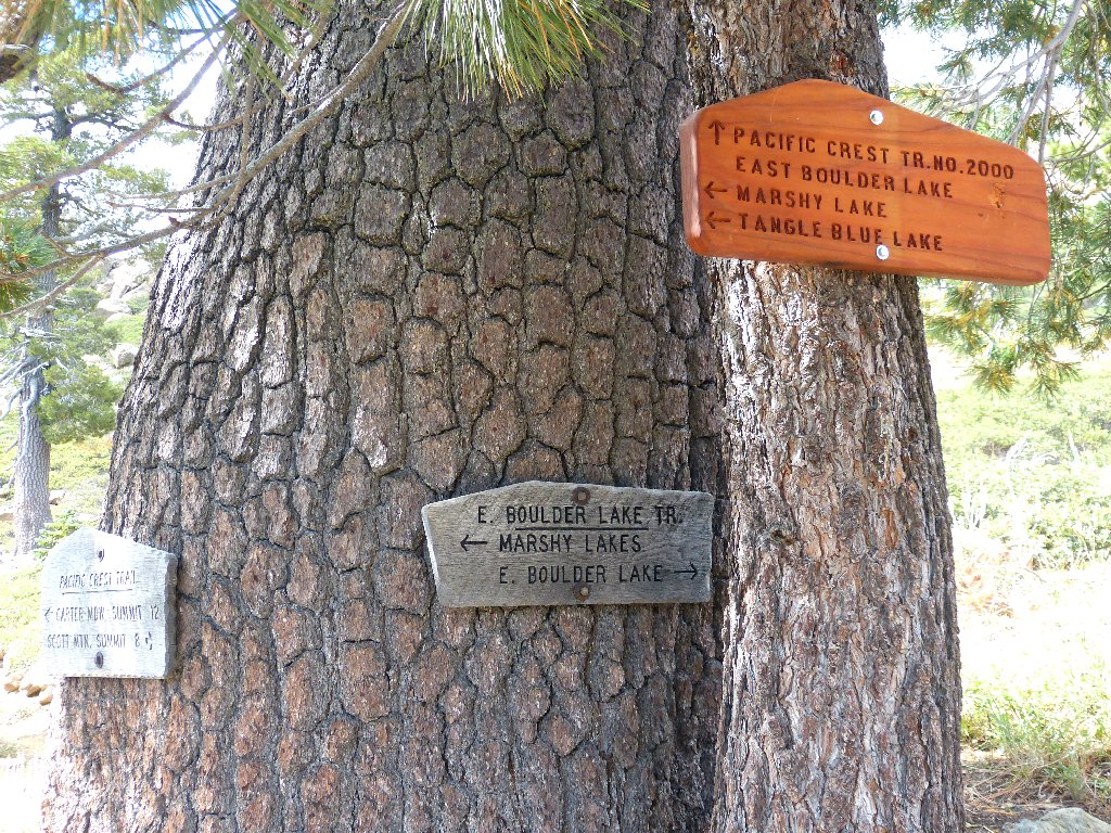
The orange sign is confusingly marked
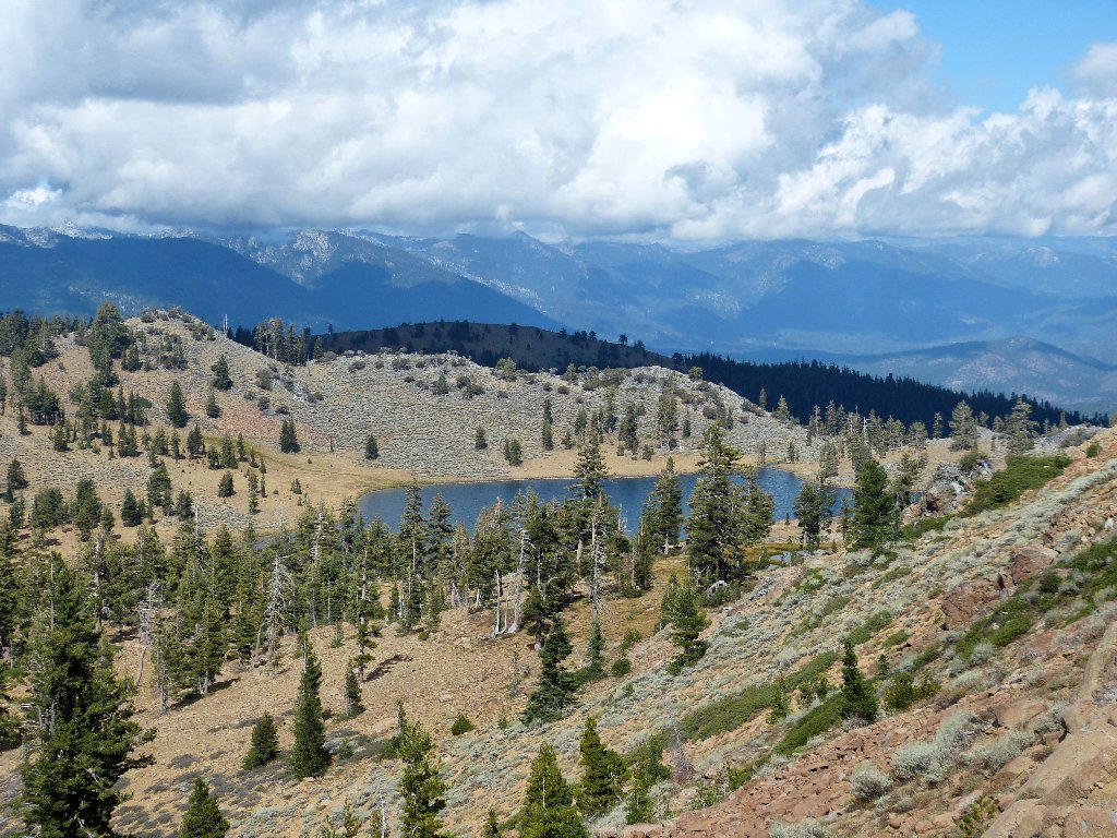
Big Marshy Lake is 800 feet below
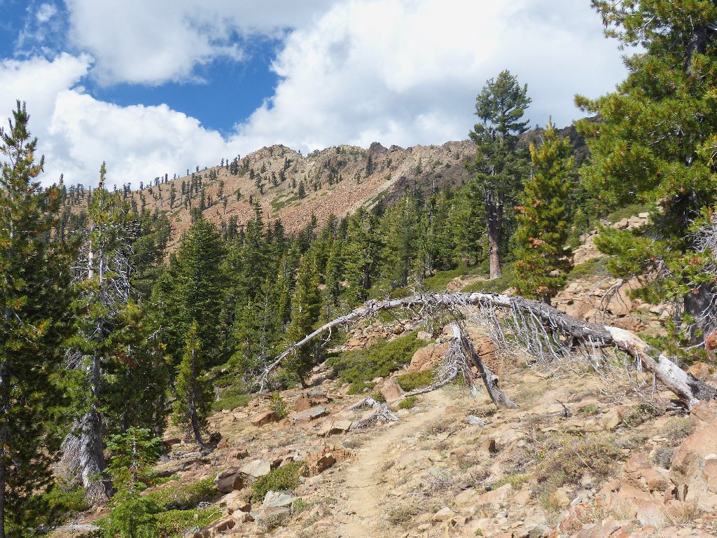
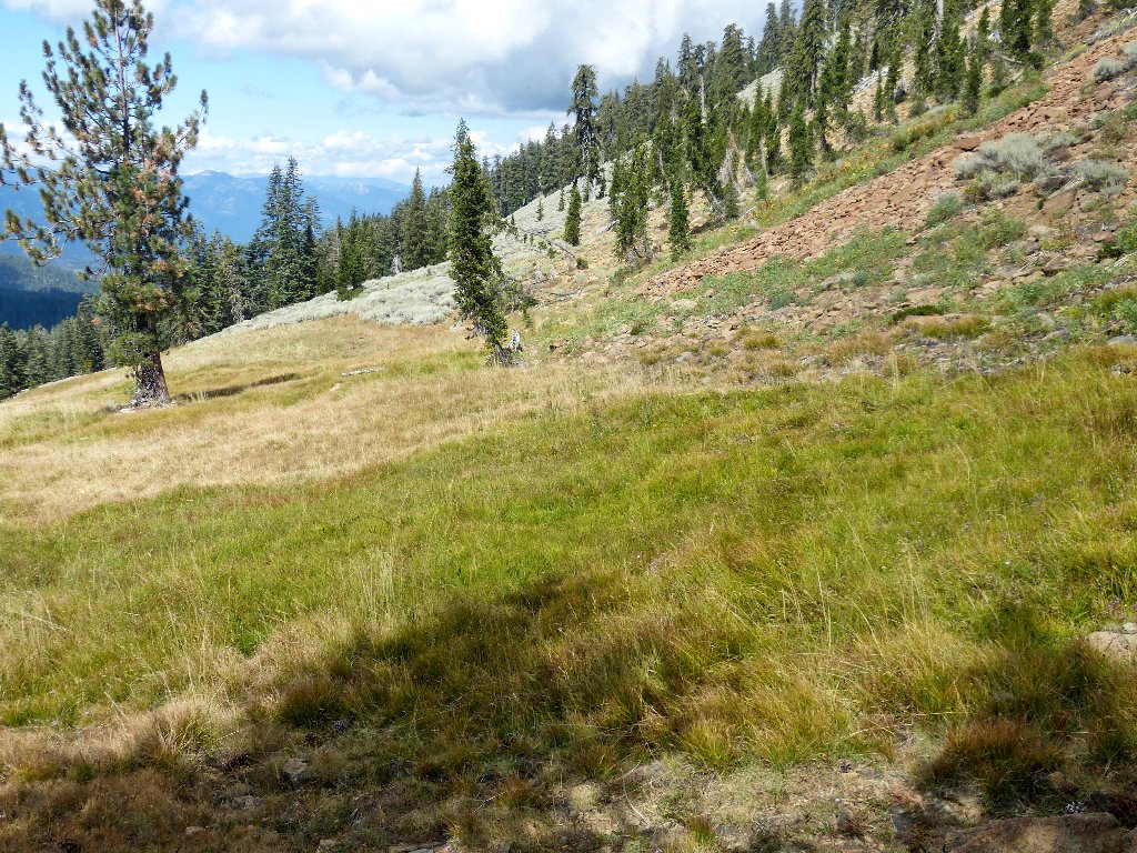
The views to the east do prove much more interesting than what I have seen up to now.
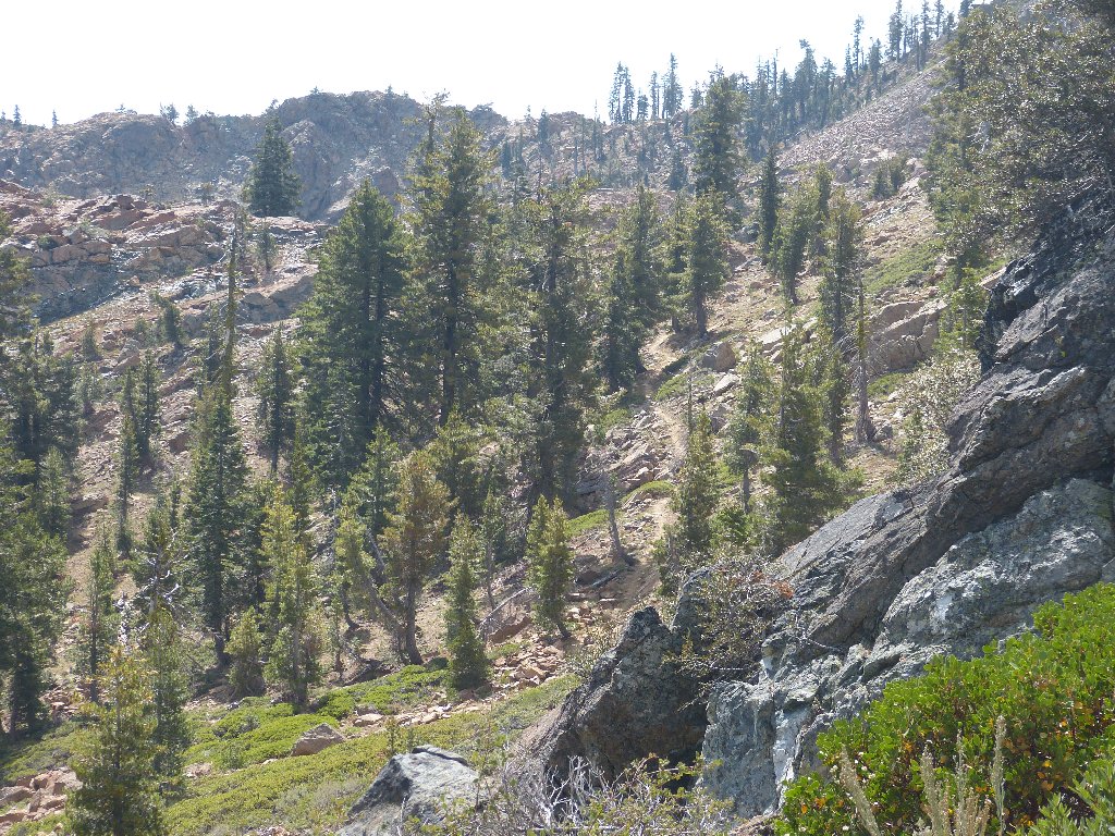
An interesting trail segment
The PCT is supposed to wind around in here for a while, then offer me a way back over the crest. Trusting the topo map, I press on.
That cleft was my way over the hump
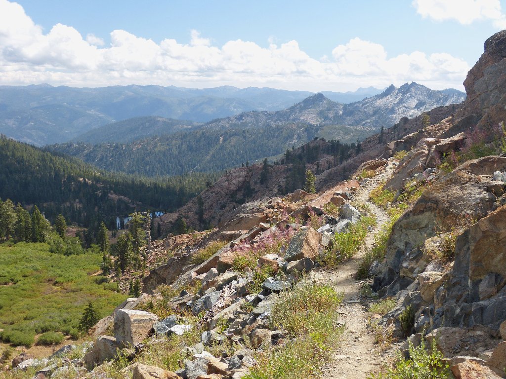
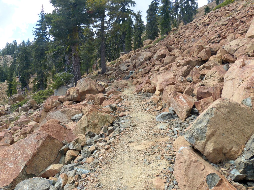
The PCT is well-maintained here, as expected
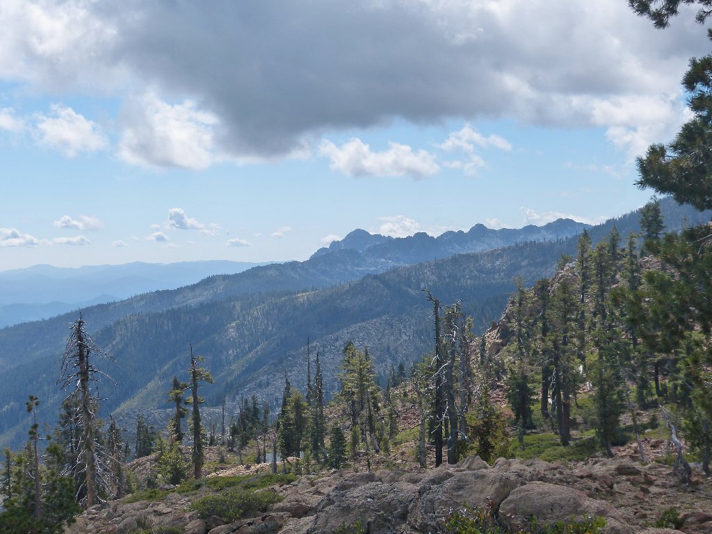
Billys Peak is six miles south
Unnamed crags
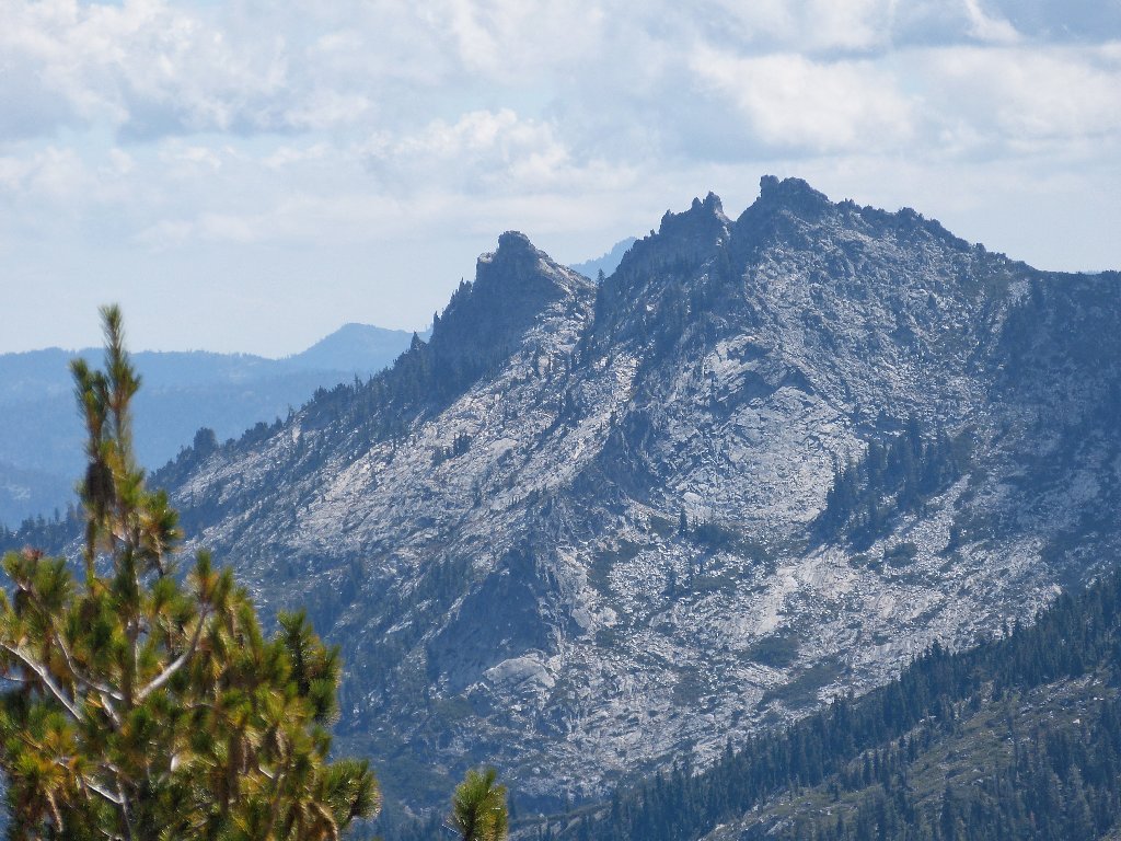
Back behind little Pond #3, the spires of Castle Crags Wilderness are spectacular:
The Castle Crags are twenty miles distant
There must be a way back over the crest
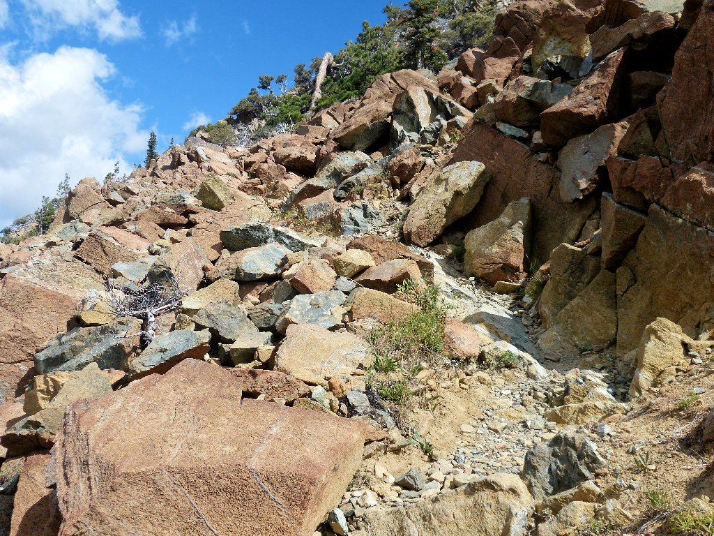
Red rocks abound
Finally, the trail does take a sharp turn northward right up to the top of the ridge, giving me yet another vista to enjoy.
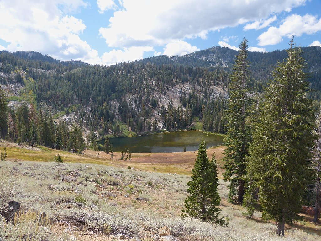
Ponds #4 and #5 are 500 feet above Middle Boulder Lake
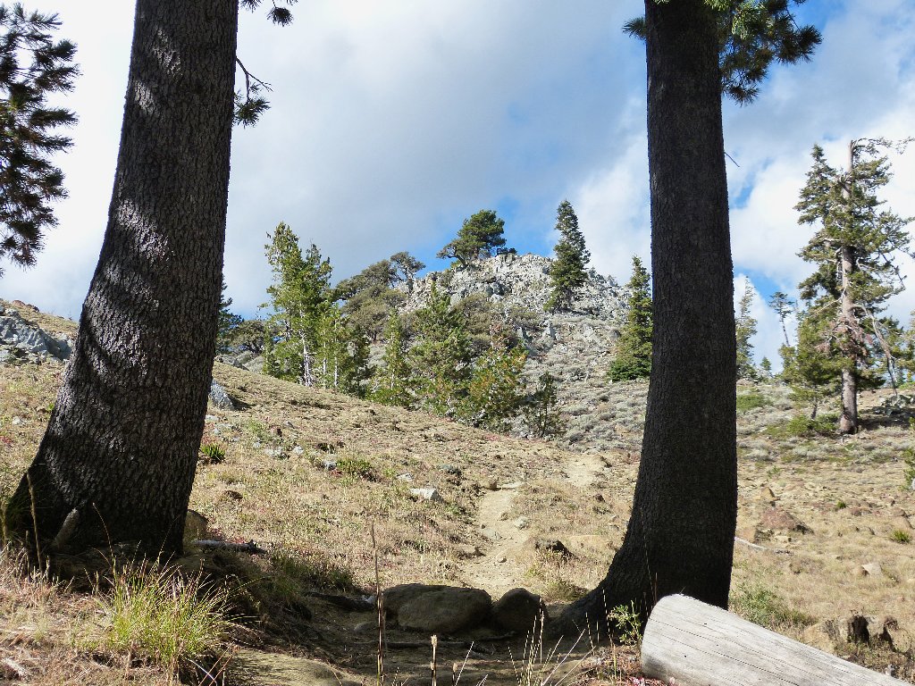
A quick descent of five hundred feet begets another trail junction. I can see no evidence of the alleged East Boulder Tie; but I am sure that it is there, and I am going that way regardless.
The trail is as faint as the signpost itself
On the wilderness website, it is mentioned that, in keeping with the character of wilderness, the Forest Service is keeping trail signing to a minimum. Well, if a map and compass are required at times, that's fine; but existing signs should at least be readable.
Bypassing Middle Boulder Lake
Having walked six miles already, I pause to rest my feet and much some gorp. The sun feels so good that it is tempting to take a nap, but that doesn't seem to be my style. After fifteen minutes, I am on the trail once again.
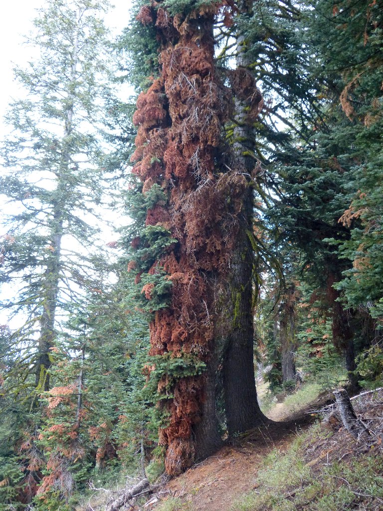
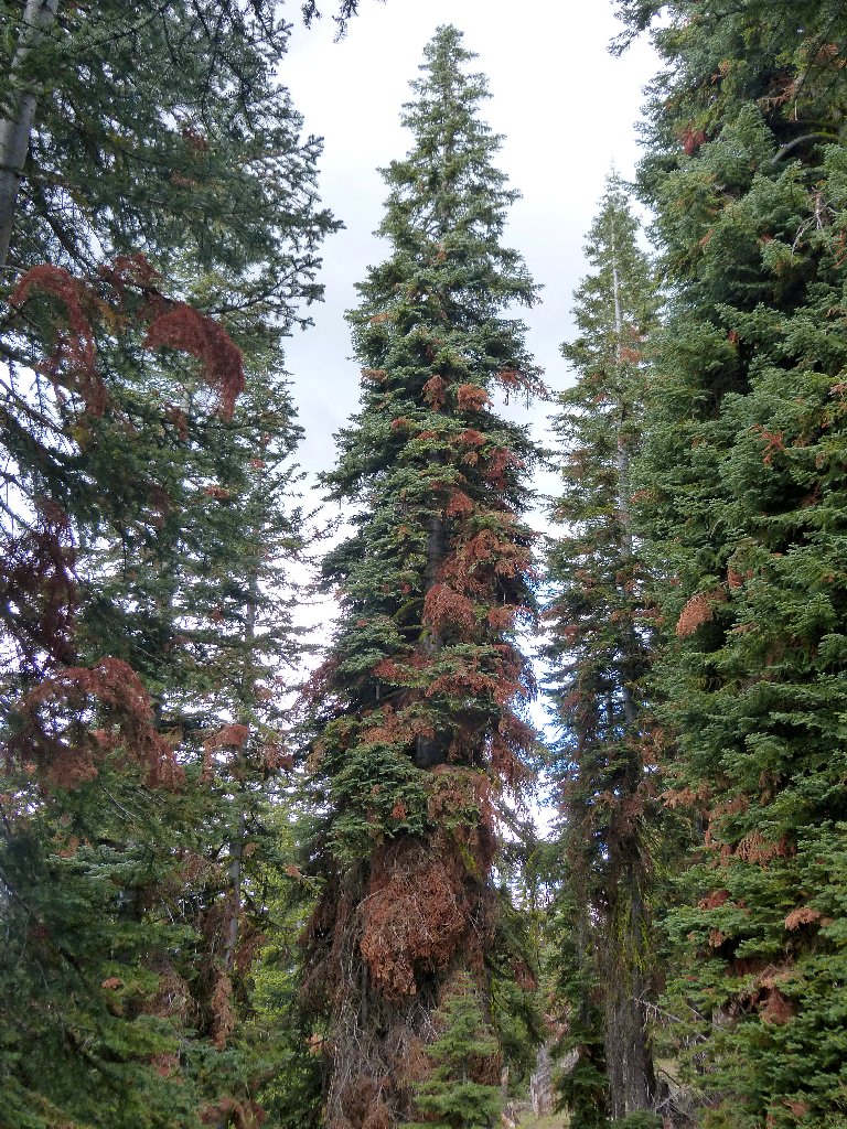
The dead red stuff could be beautiful if it weren't so ugly
After entering the forest and turning eastward for a while, I opt to veer off to the north, directly toward Lower Boulder Lake. Plunging down through the forest is a bit steep, but I save half a mile this way. This final lake in the series is off the main route:
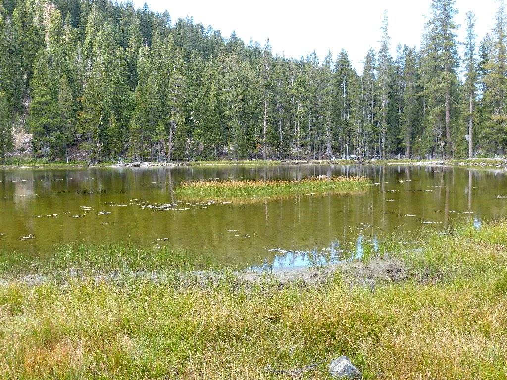
Lower Boulder Lake
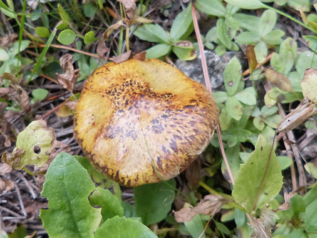
Slippery Jack mushroom
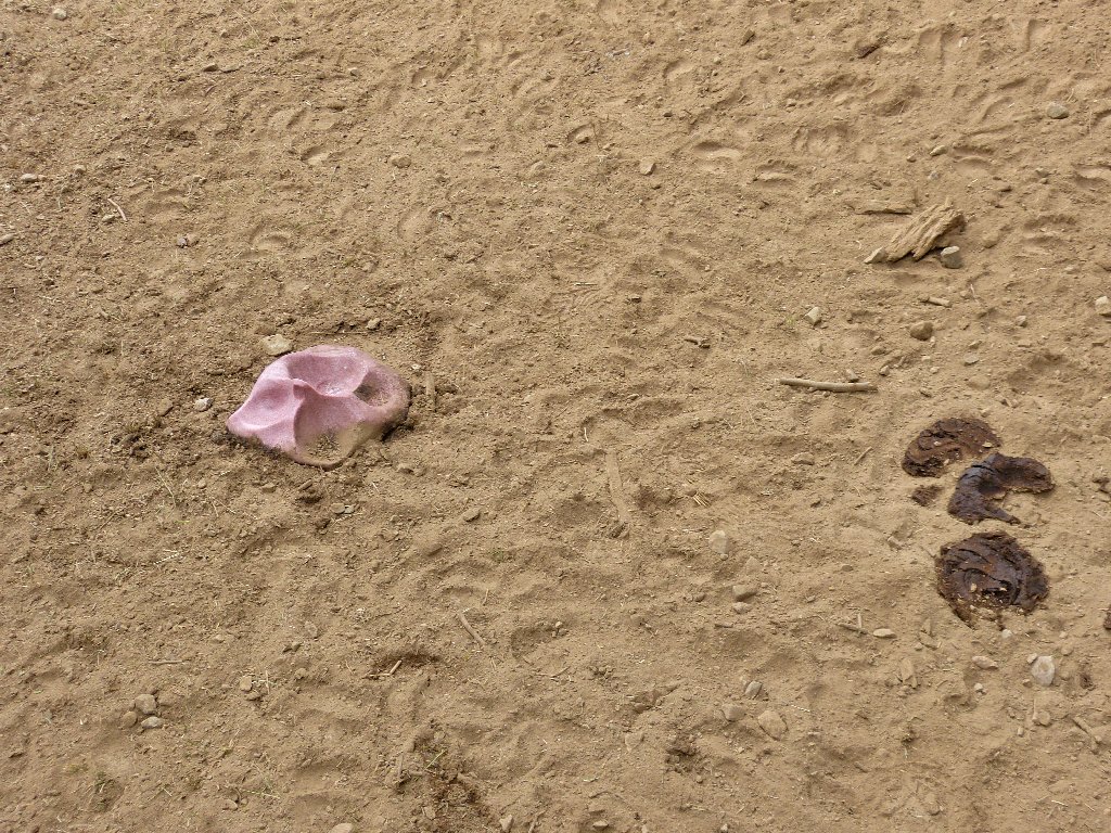
In one end, out the other at the salt lick
Taking yet another little shortcut out of this area puts me onto a new trail segment that parallels the main route on an abandoned fire road.
The main trail is on the other side of the creek
The map shows that this trail veers away from the trailhead before intersecting the road. My GPS shows that if I cut straight across the creek to the right, I will run right into the car; so I do that. This further shortcut does save a couple minutes' time, but it probably requires just as much effort.
This old trail is easier than the other one
§: Five lakes and five ponds is not a bad haul for a single
outing. This area ideally would be visited quite a bit earlier in
the season, but today's trek was nice nevertheless. Looping around
the 'back side' of the mountain crest was an interesting maneuver, and
that's where the best scenery was in any case.
| Scenery |  |
| Difficulty | |
| Personality |  |
| Solitude |  |
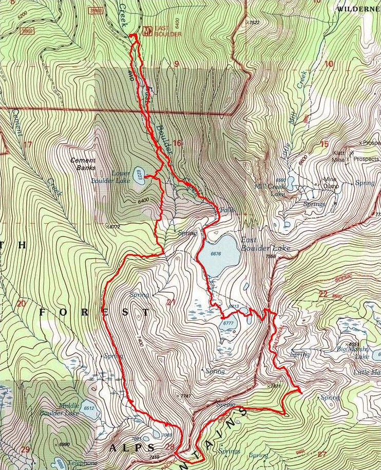
The route (clockwise)
