
Valhalla Provincial Park, B.C.
|
Gimli Ridge Valhalla Provincial Park, B.C. |
August 12, 2013
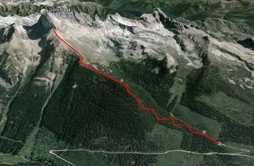
Based upon what I had read when researching this trip, I am most anxious to head up this hill today. That is more easily said than done, however. The first eight miles of gravel road are fine; but the next eight miles are quite steep, requiring the use of low gear much of the time. On top of that, my car is having severe cooling problems to the extent that it is somewhat foolhardy to be up here at all. I am not looking forward to the inevitable $2,500 replacement of the head gasket.
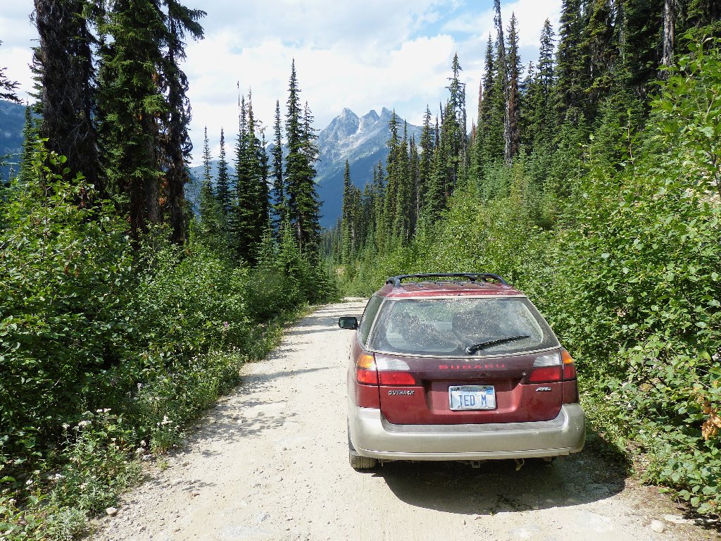
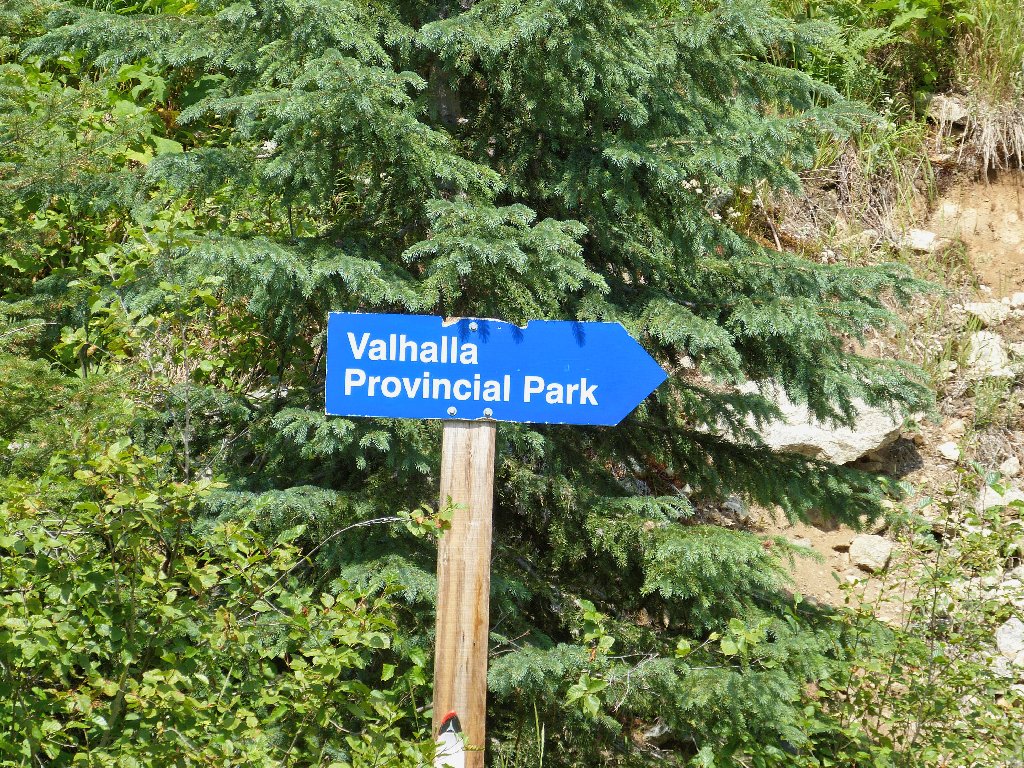
Getting to the trailhead
Meanwhile, as long as I am here, it is time to go hiking. It being so early in the morning, only one other vehicle is around. It is enclosed in chicken wire, probably because its owners are backpacking. There are several rolls of wire around, though, so what the hell; I bundle up my Outback as well.
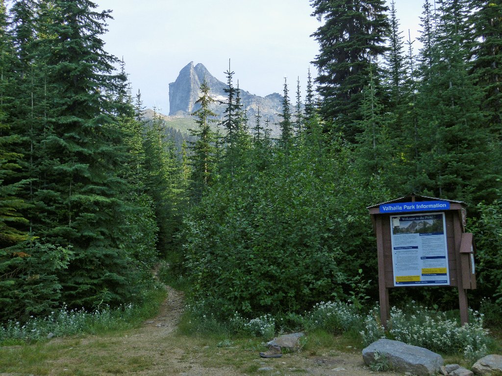
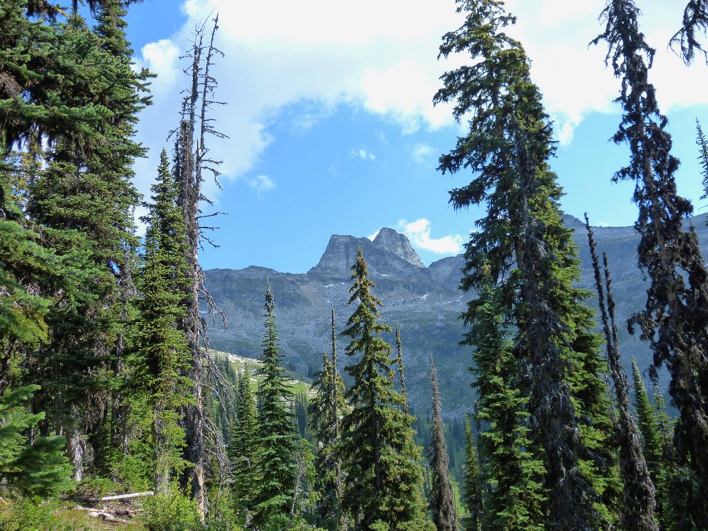
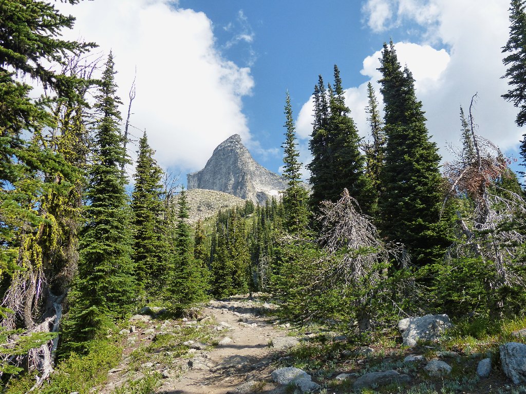
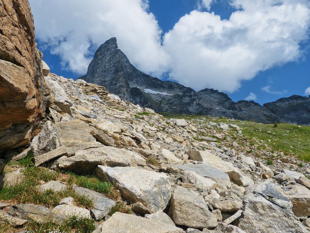
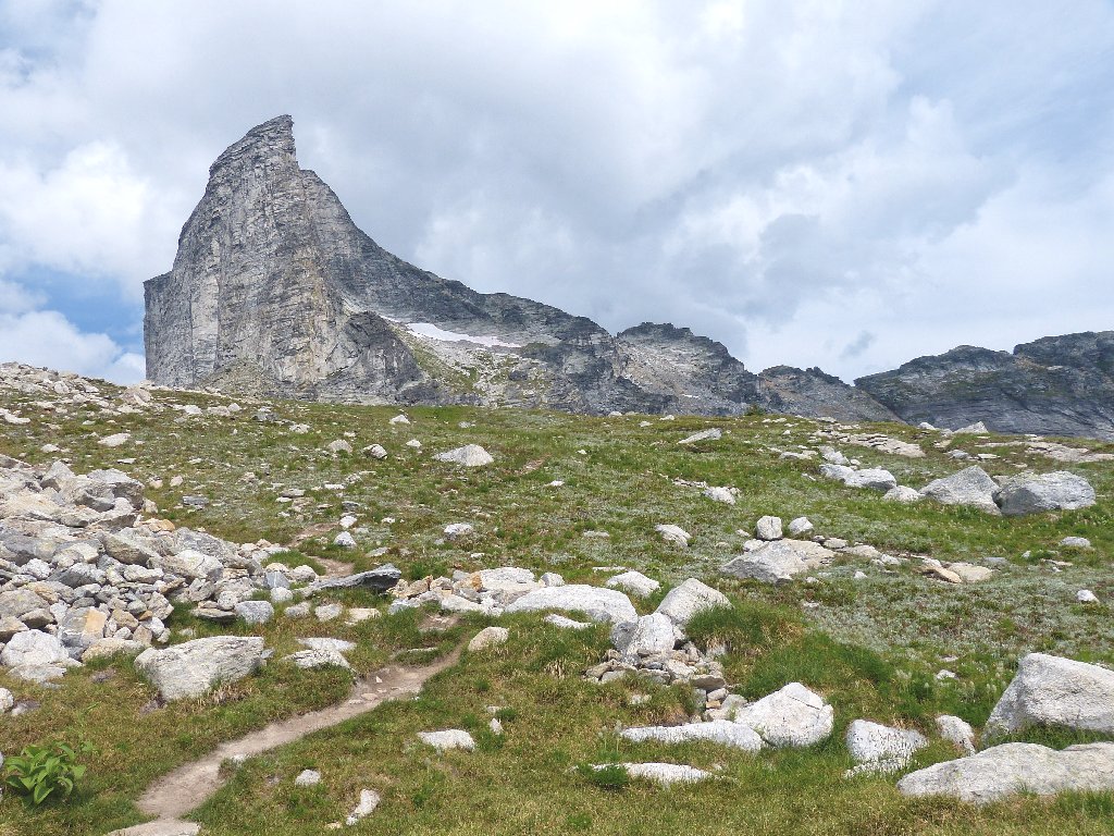
The objective looms
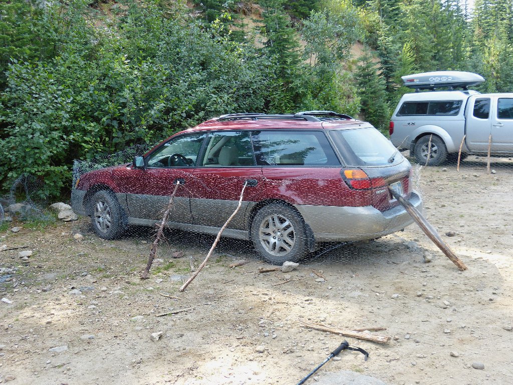
All wrapped up
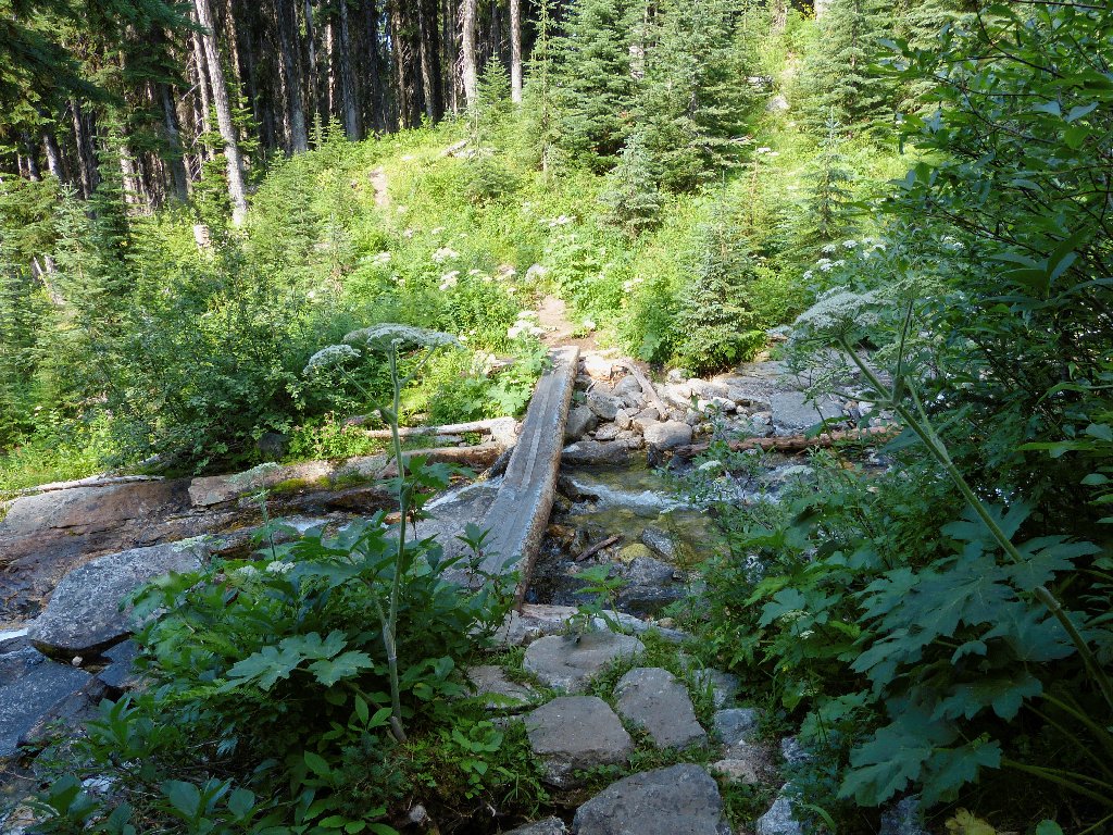
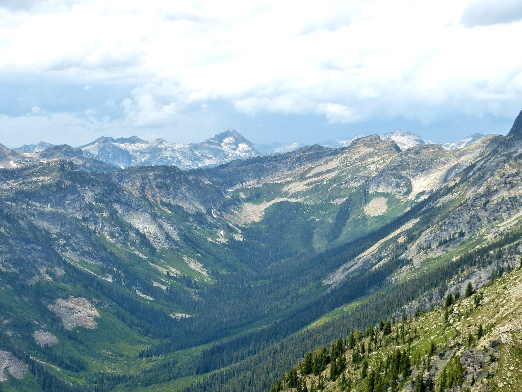
As expected, the trail into the forest is much steeper than yesterday's route over at Kokanee Lake, and it takes even longer to get a view of anything except tree bark.
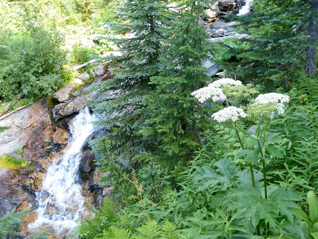
There is some water around, but not much
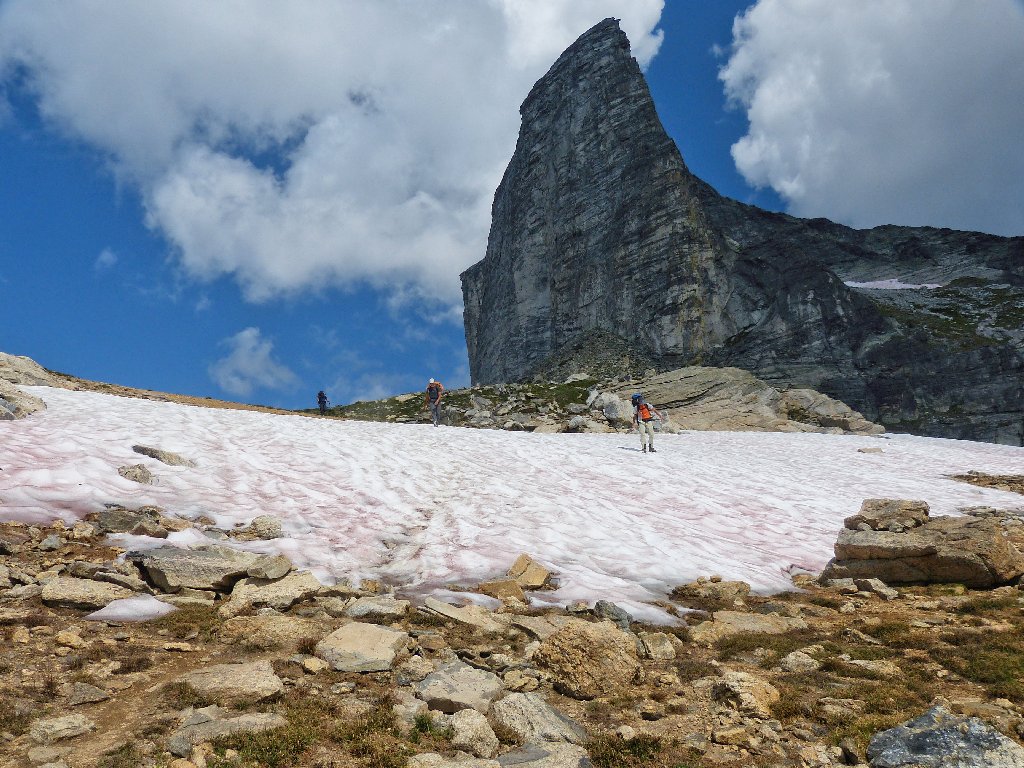
At last — something to see
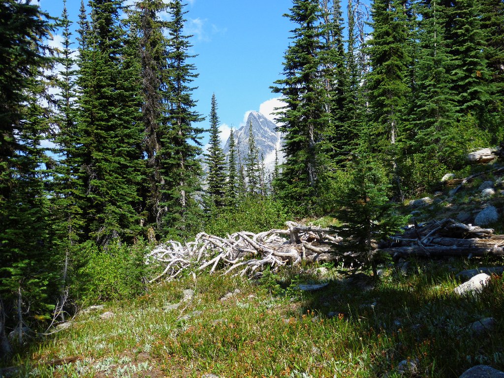
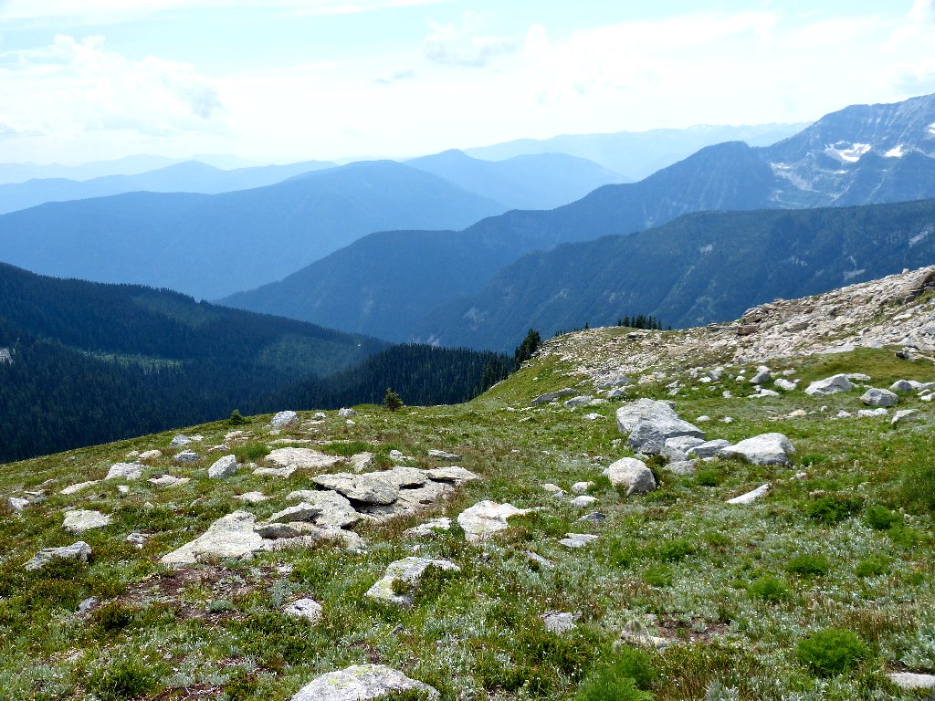
Atop the ridge, the trail levels out a bit
Aha! Finally, I can start having some fun. It is somewhat disappointing, though, that there is little to no running water up here and the flowers are few. Most of the snow is gone already.
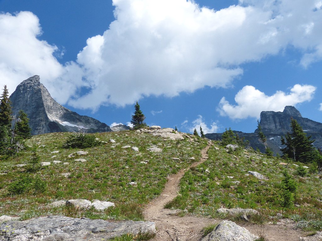
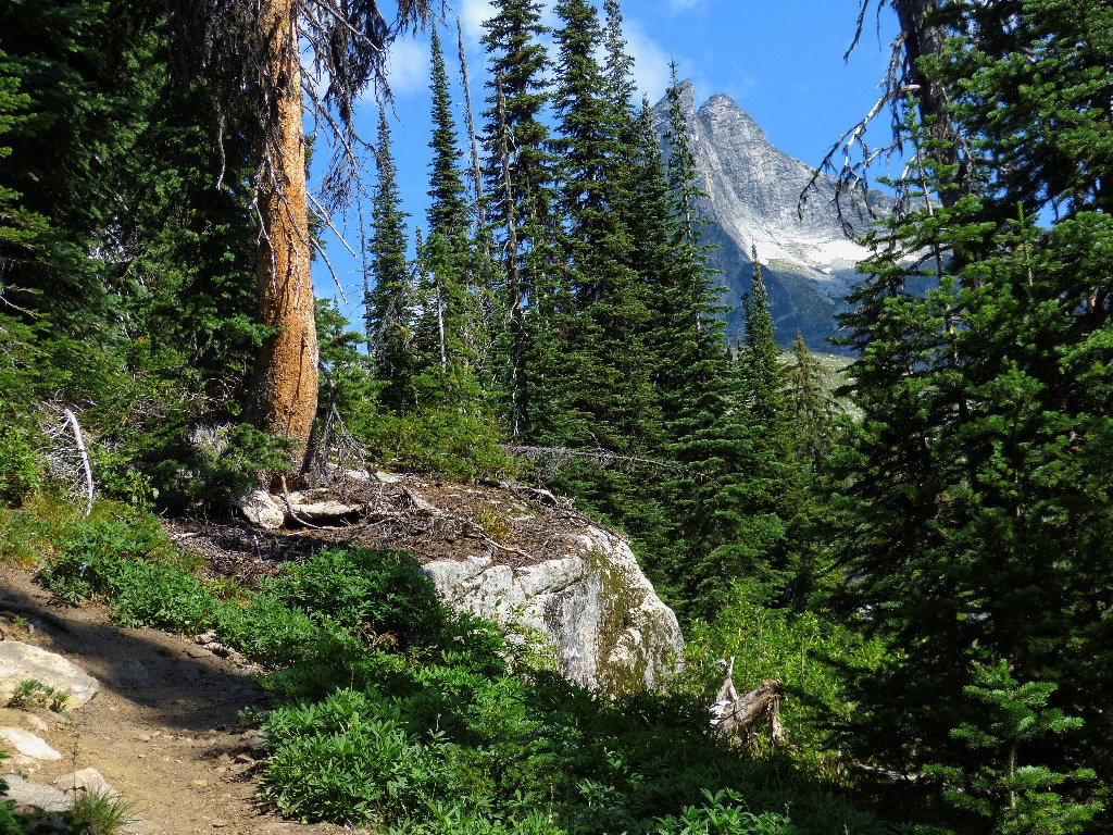
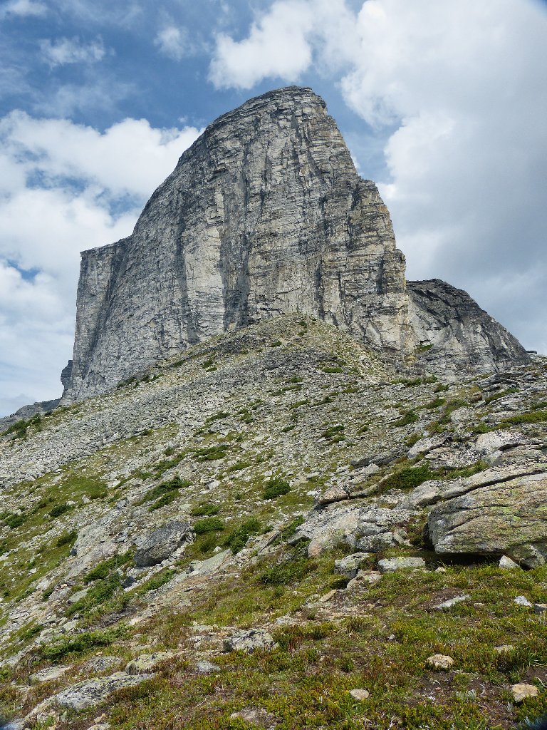
Gimli Peak and Wolfs Ears
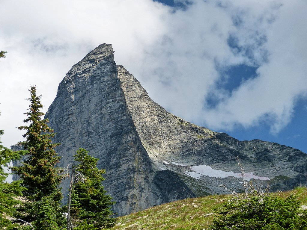
This area did not become officially protected until March of 1983. The main attraction here, Gimli Peak, is a strikingly beautiful monolith; I have seen nothing else like it.
This is why I go hiking
The trail crosses a couple of small talus fields, but the going is easy.
Rocky passage
An hour after starting out, I had heard the sounds of a car engine; so it does not surprise me that two young women now are approaching from below, having managed to scale the ridge much faster than I. At the same time, three male backpackers are traversing the snowbank just ahead. They probably belong to that pickup truck in the parking lot.
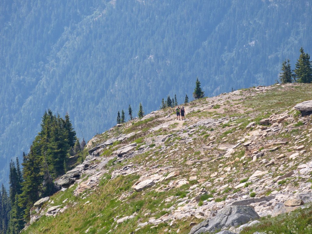
Coming up behind me
Coming down ahead of me
At the apex of the ridge is a fancy wind shelter replete with benches. Some folk put a lot of effort into its construction.
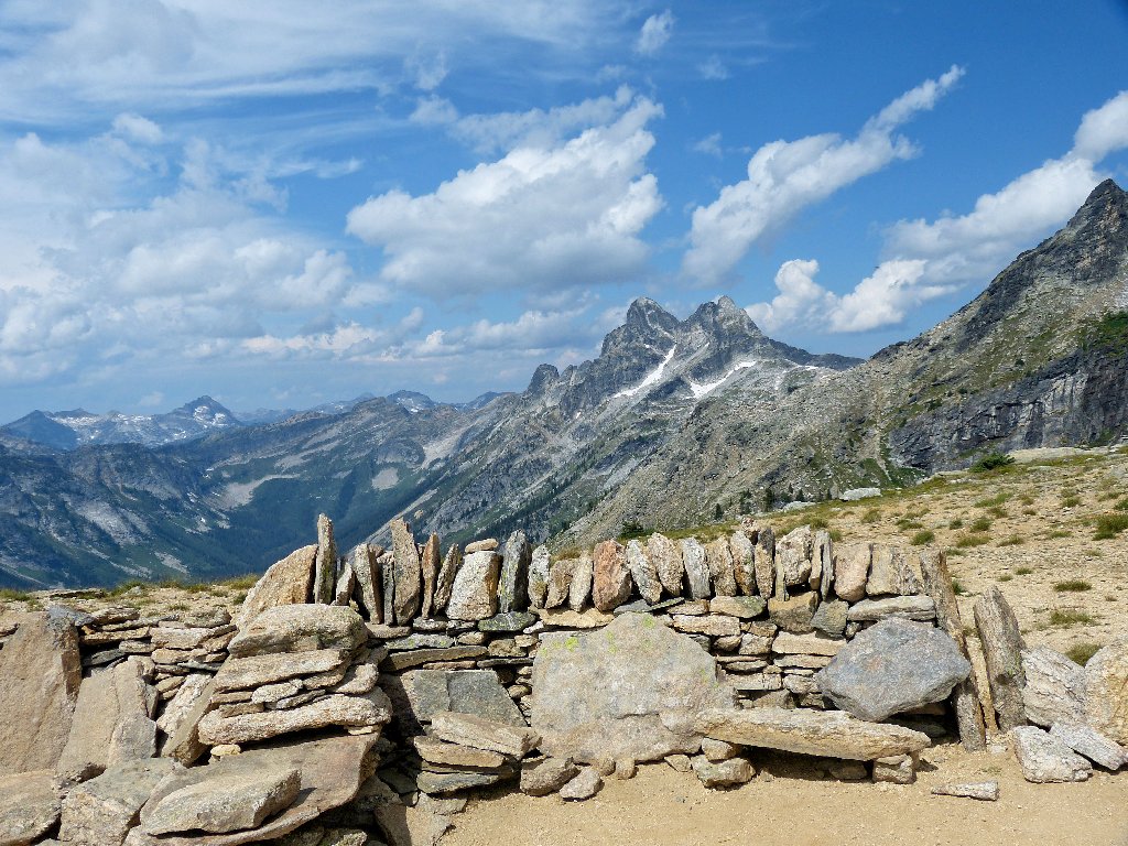
Mount Prestley
The official trail ends here, but there is an option to continue around Gimli Peak and up to the col for a view of the reputedly gorgeous Mulvey Basin on the other side. The two speedy women seem intent upon doing just that. My original plan was to go there as well; but I seem somewhat discombobulated at present, largely because of the ongoing car problem. In any case, I'll follow the other two for a time and see what develops.
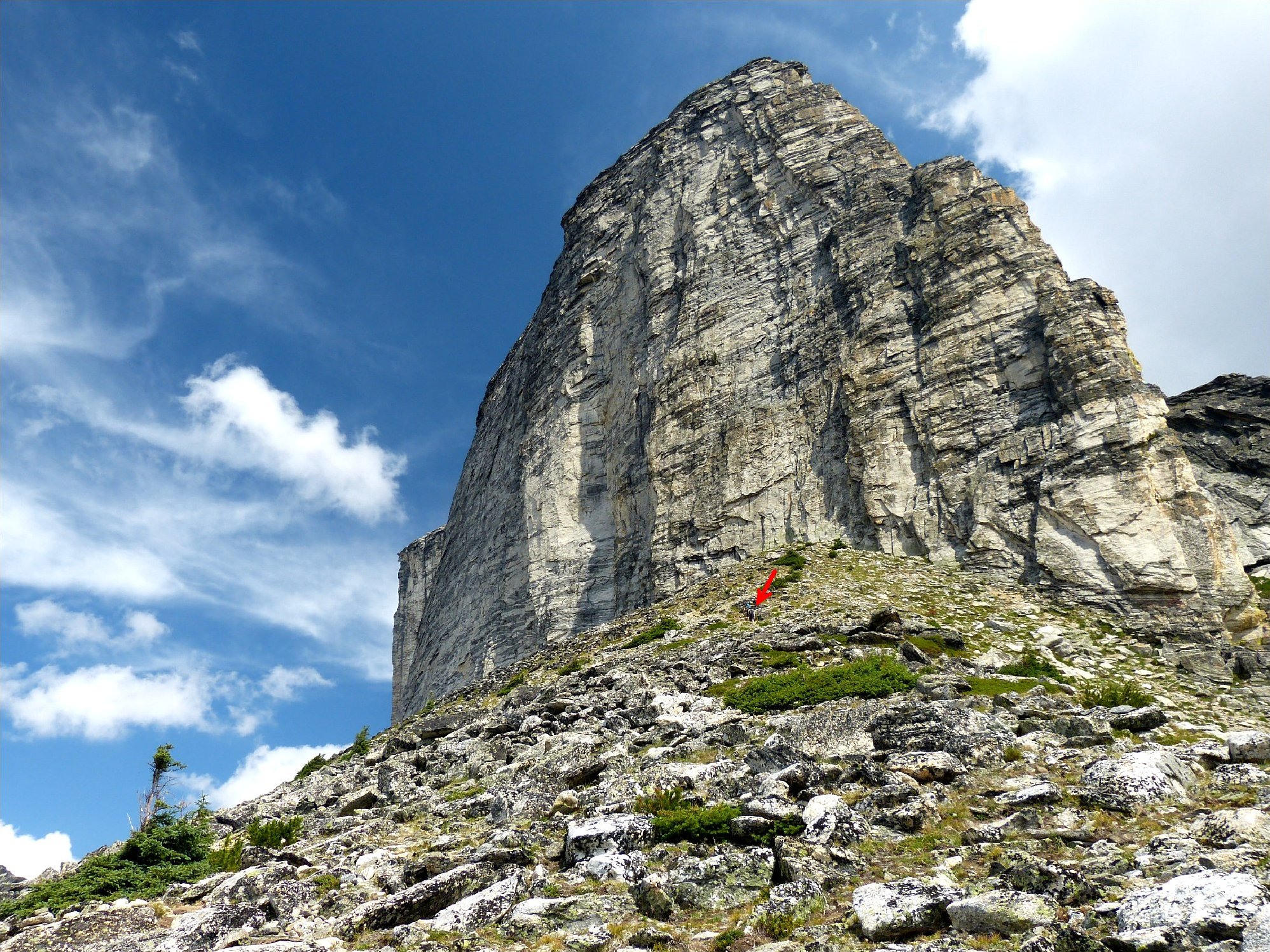
The other hikers are at the red arrow ⇔
I hear the women chatting at something; it's a mountain goat off to the left, ambling along unconcerned of our presence or activities.
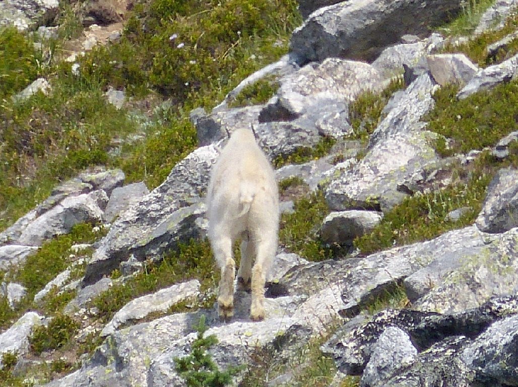
A camera-shy mountain goat
Getting up the talus slope is slippery in spots and precarious in others. I certainly don't mind a little exposure now and then; yet it does seem to be taking an unusually heavy toll on my peace of mind, and I already am pretty much worn out by the grueling ascent.
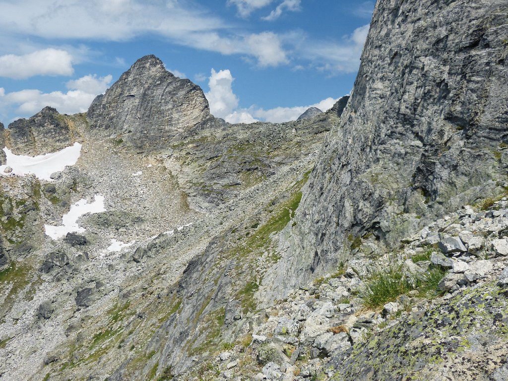
The trail drops well down before heading back up
At the top of the little slope, I discover that it will be necessary to scramble down a hundred feet or more before going up again. At this point I opt not to continue farther, knowing fully well that I will regret my decision. There will not be another opportunity for me to see Mulvey Basin.
Starting back toward the shelter
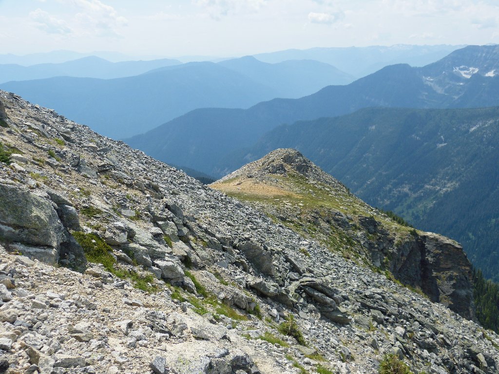
Once off the rock pile, I can breathe more easily and enjoy the scenery.
Woden Peak to the west
The Kootenay Mountains in the south
My erstwhile route
I don't know why that use trail could not have been routed around the
left side of the slope; that way, a lot of up-and-down could have
been avoided. Maybe there's a cliff over there.
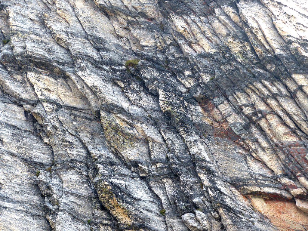
The face of Gimli
A little stream trickling from the big snowbank provides an opportunity to refill water bottles that are virtually empty.
Farewell to a spectacular place
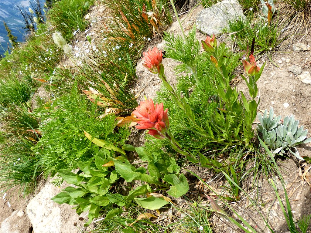
Giant Red Indian Paintbrush
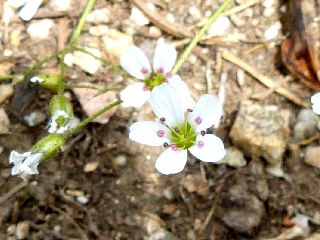
Bluntleaf Sandwort
The return trek proves as difficult as expected. The steepness of the trail is very hard on my knees, and the rocks compel me to watch my footing every second. This last hour of walking is quite a chore, and I am anxious for it to end.
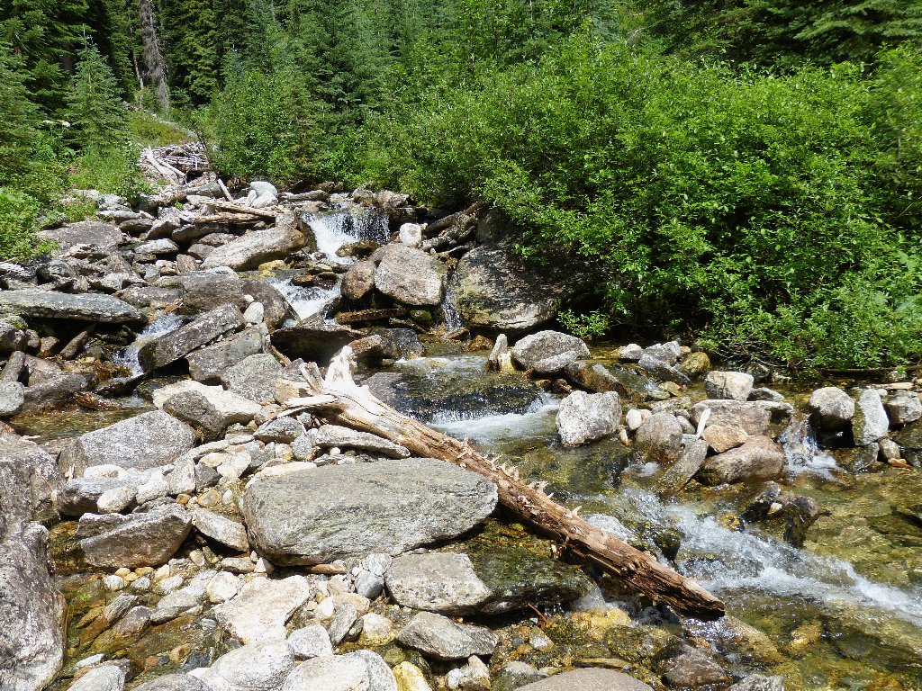
The only creek on today's route
§: As yesterday, it proved necessary to do a lot of climbing
here before seeing anything interesting. Gimli Peak was every bit as
spectacular as was anticipated. With a bit more water and flowers
around, it would have been a truly glorious spot. The roughness and
steepness of the majority of the trail detracted from the overall
experience, and the forced protection of the car was a real hassle.
I guess it's "no pain, no gain" in these mountains.
Yes, I strongly regret having not continued to the Mulvey Basin lookout point. I surely would have seen it through regardless, had I known that I would subsequently cancel the remainder of my British Columbia excursion due to car troubles.
| Scenery |  |
| Difficulty |  |
| Personality |  |
| Solitude |  |

This is the view I missed by not continuing up to the col:
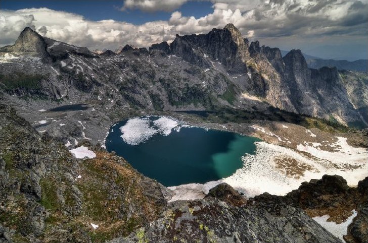
(not my photo)
