Crater Lake National Park, Oregon
|
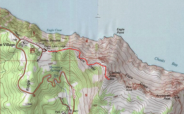
Garfield Peak Crater Lake National Park, Oregon |
August 8, 2013
I am beginning a three-week hiking tour to British Columbia. The first
logical stop is at Crater Lake en route to my sister's current residence near
Bend, Oregon, for a 600-mile day.
As I pass through the Ashland-Medford area, I am most apprehensive about the
hiking prospects. The forest-fire smoke is so thick here that I can
barely make out the buildings beside the highway. Conditions improve as I
head up into the mountains, however. The current substantial cloud cover
partially mitigates the effects of the smoke. This walk will start right at
Crater Lake Lodge, where rooms run $230+ per night; I'll be staying elsewhere.
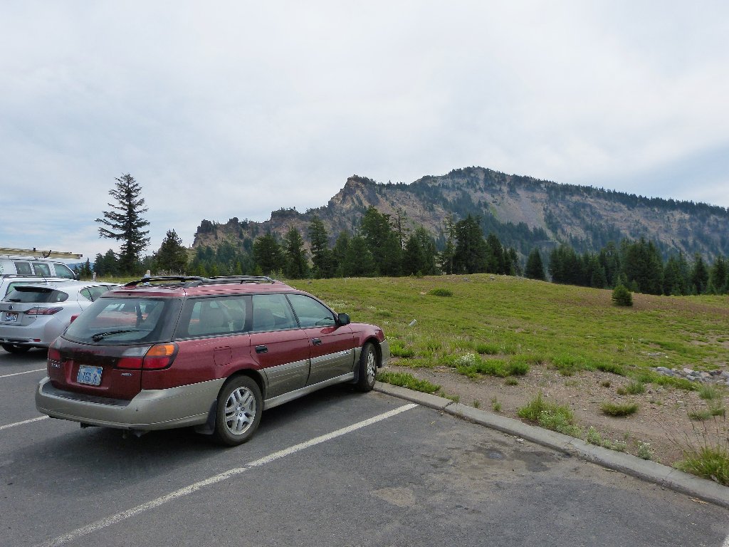
The destination is in view
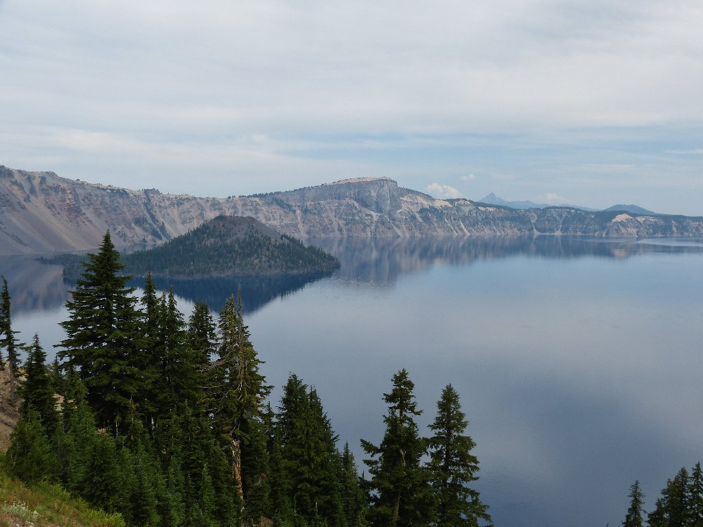
First look at the lake
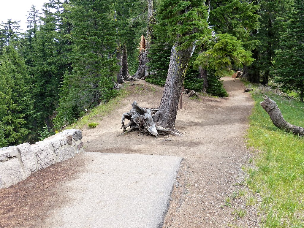
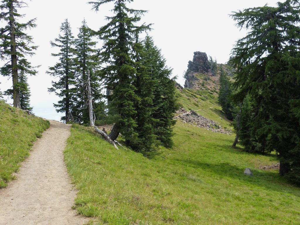
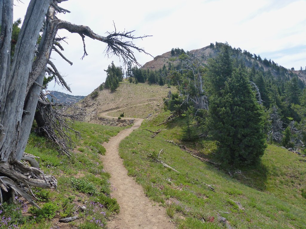
The real trail starts where the tourist sidewalk ends
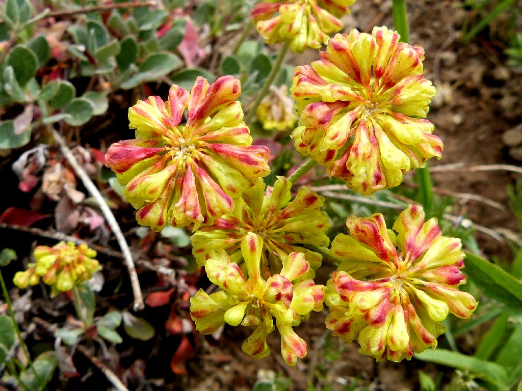
A local variety of Sulphur Buckwheat
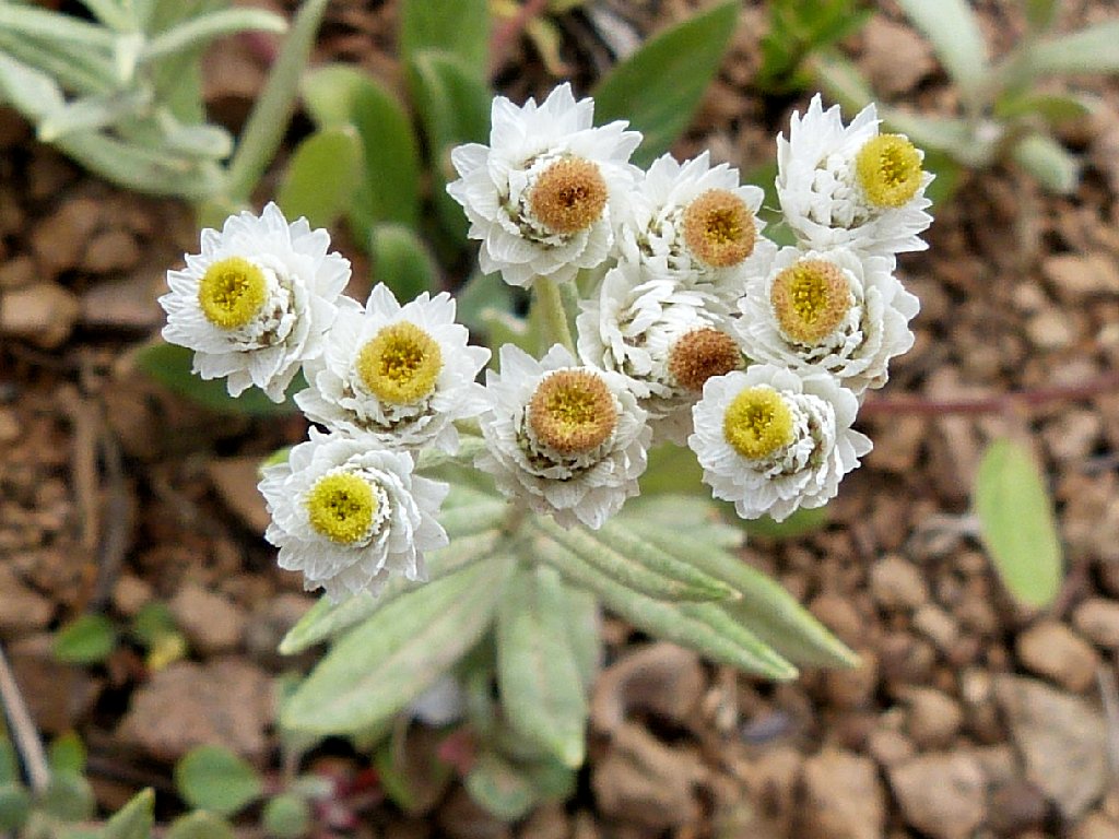
Pearly Everlasting
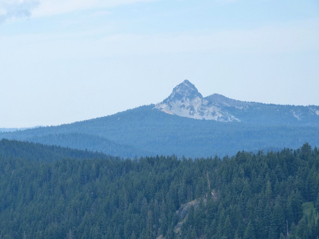
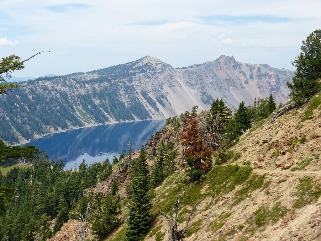
Union Peak to the west
Flowers line the path
Cobblestone Lichen
The trail becomes steeper near the summit

A rare bit of sunlight
7,700 years ago, the mighty Mount Mazama blew its top. The upper
5,000 feet of the mountain collapsed upon itself in the biggest eruption in
the Cascades over the last million years. Enough volcanic ash was
produced to hypothetically cover the entire state of Oregon in a blanket
eight inches thick. What remains is this spectacular one-of-a-kind
phenomenon that we all can enjoy.
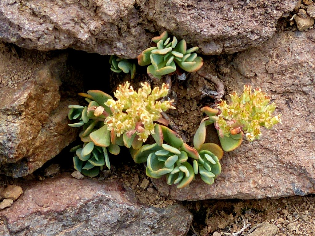
Stonecrop
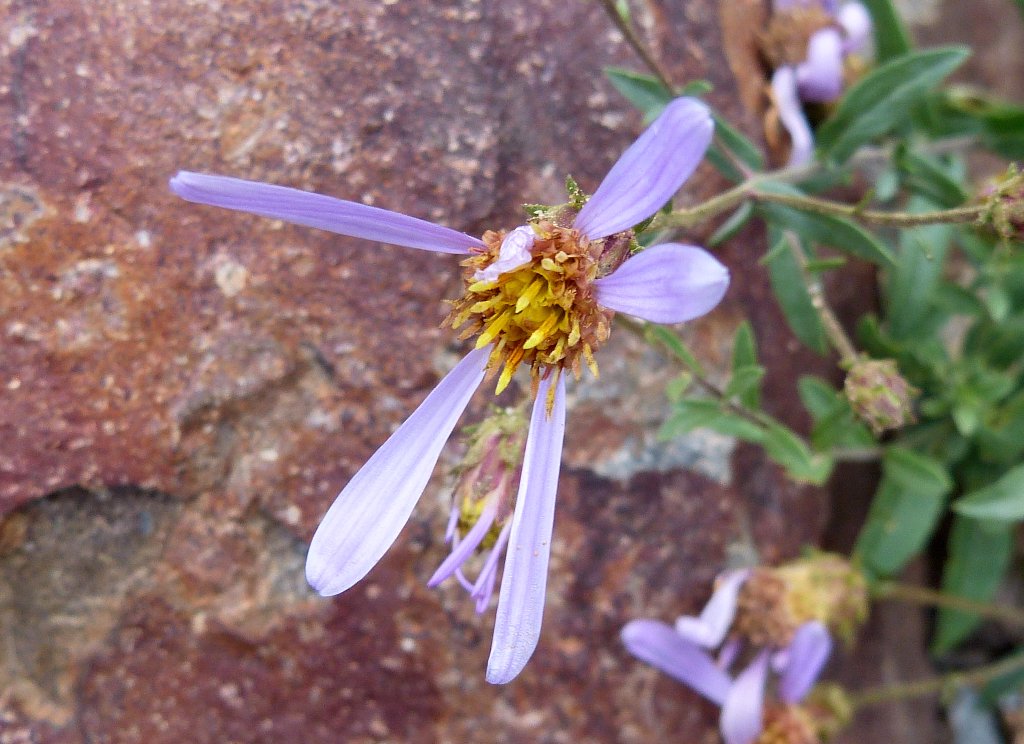
California Aster
Presently, a great scene presents itself:
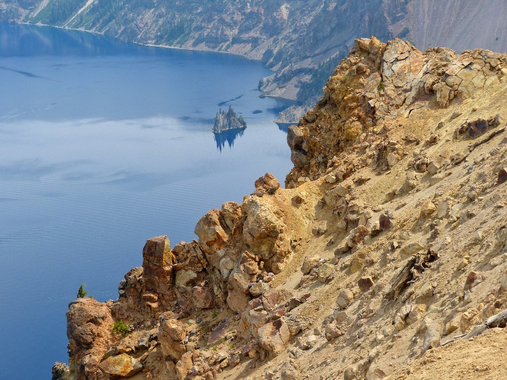
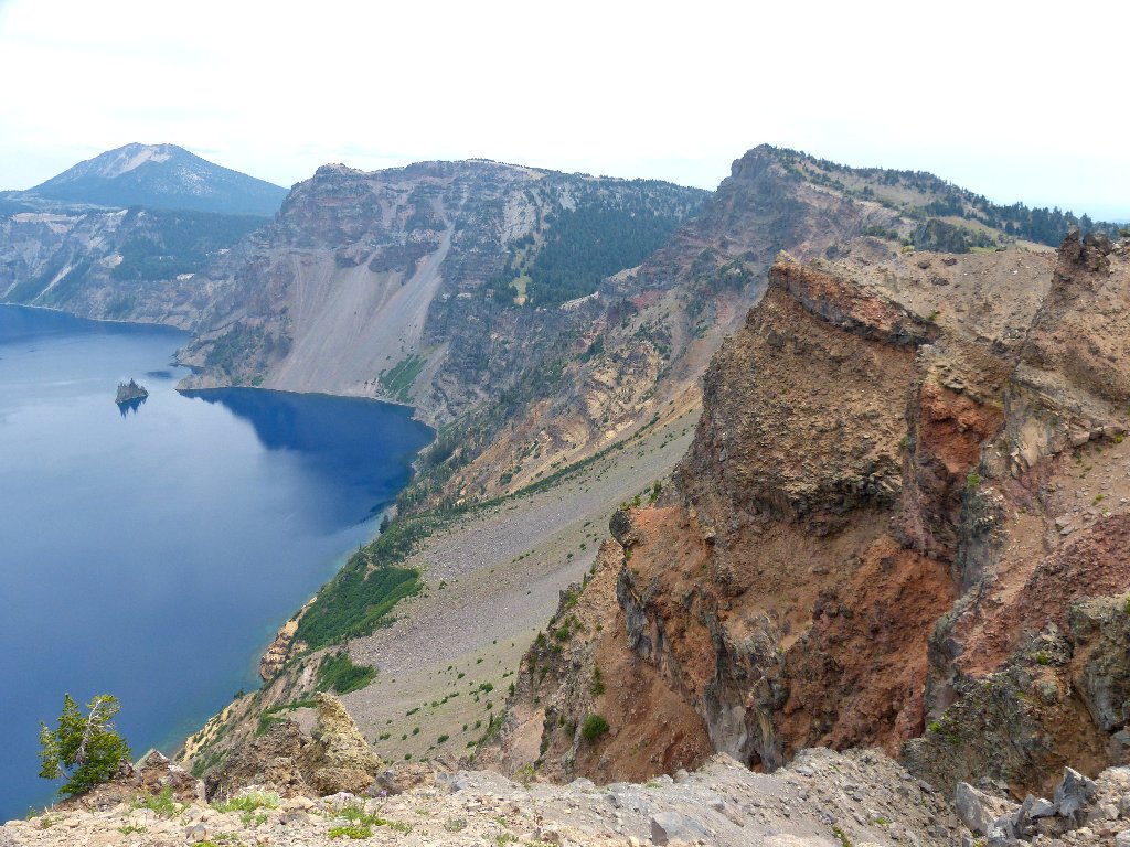
Not your everyday view of the Phantom Ship formation
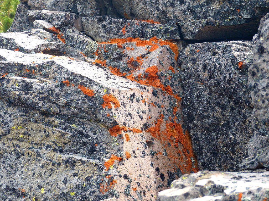
Close-up view of the oldest rocks in the crater
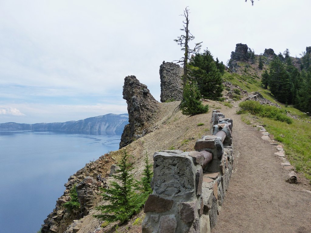
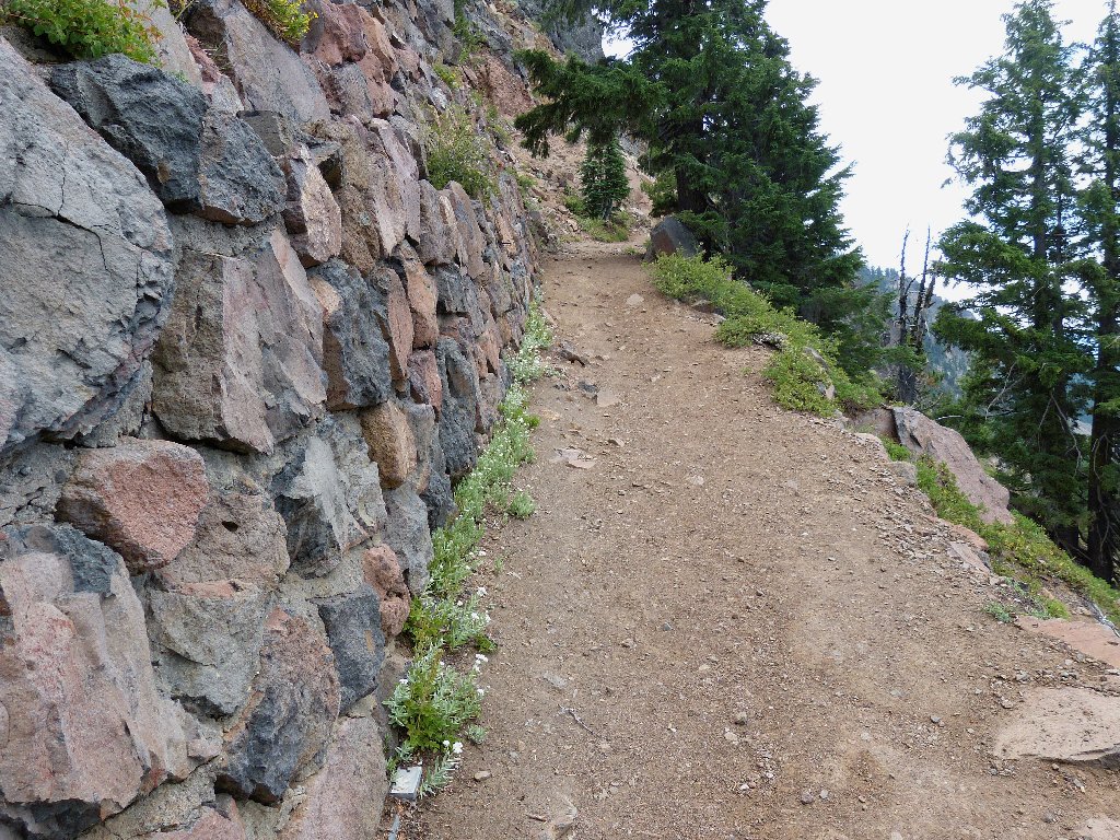
Several sections of trail hug the lip of the caldera. In these
areas the path is sufficiently wide to eliminate any need of exposure.
The edge of the cliff is right there, though — just a hop,
a skip, and a jump away.
Still a ways to go
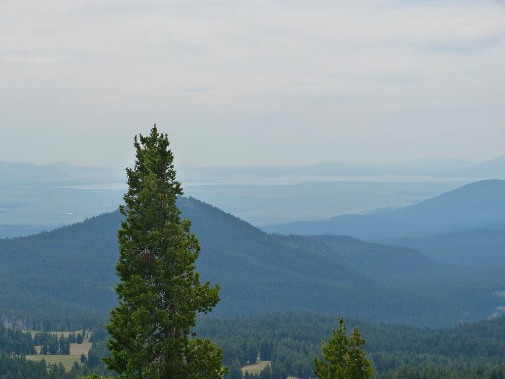
Smoke has inundated the Klamath Lake area to the south
A few switchbacks plus some more steep going are surmounted without much difficulty. Unfortunately, the camera's field of view isn't enough to take in the entire magnificent scene. The lake itself is five miles wide.
View from the summit. Diamond Peak is 42 miles north ⇔
Atop the mountain with me are a couple speaking an unknown foreign language, plus a pair of young parents with a baby in some sort of protective harness.
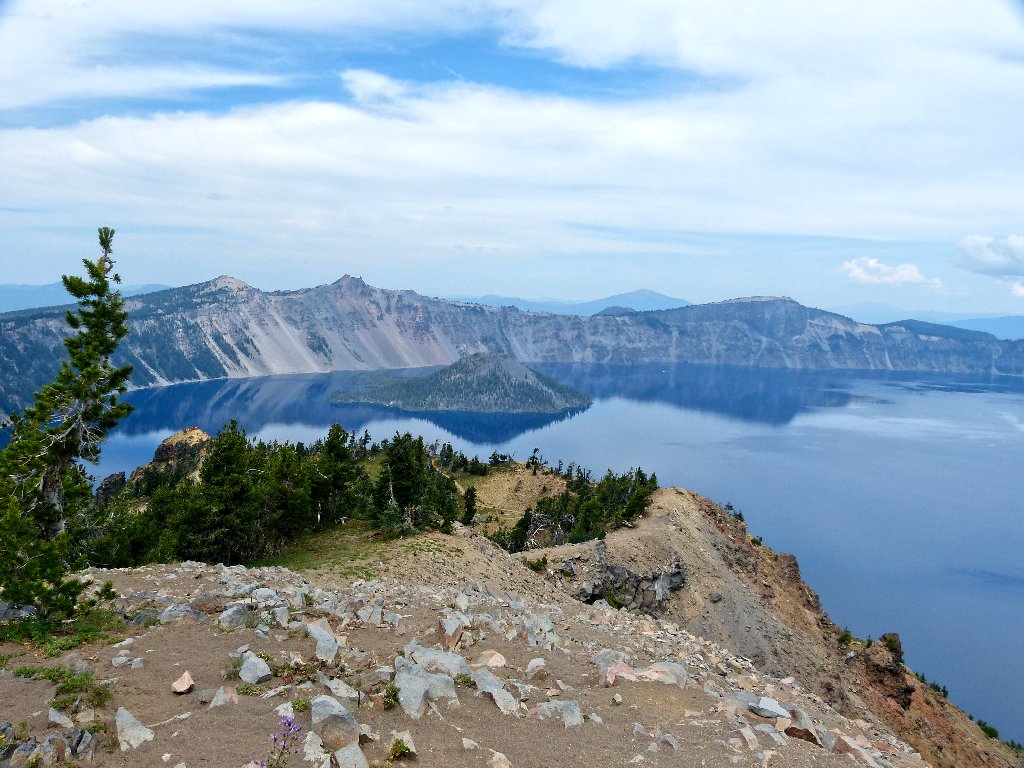
Wizard Island is waiting for the sun to come out, and so am I
Well, the clouds never do cooperate; so all I can do is to head back down the hill, snapping photos along the way.
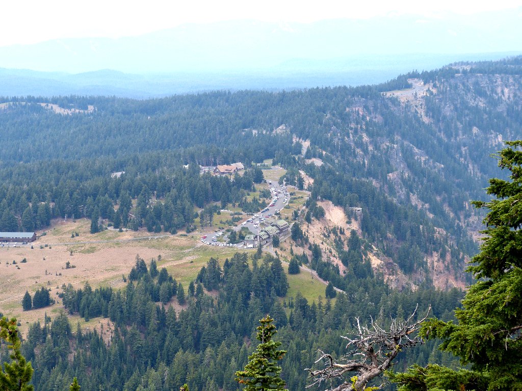
The parking lot below
Nice colors in the Eagle Crags
Crater Lake's bottom is 1,994 feet down, according to the latest
survey. It is the deepest lake in the United States and the
fourth-deepest in the world. The water is so pure that,
under bright sunlight, it takes on a cobalt-blue hue that truly
must be seen to be believed. I am not the only one who considers
this the most beautiful lake in the world when the sun is shining.

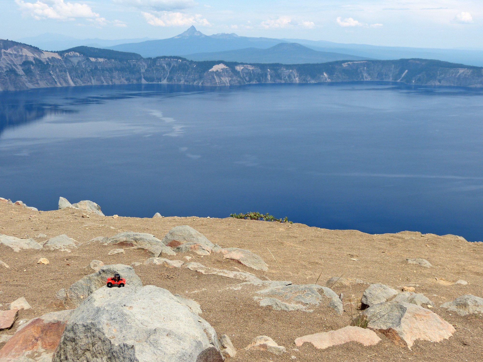
A couple more views
A popular boat tour circles the lake, starting at the north end.
There is an option for debarking at Wizard Island until the next boat
comes by. Thirteen years ago, my future bride and I made the obligatory
600-foot descent to the dock at Cleetwood Cove in order to take the
tour. That also happens to be the only trail to the lake shore,
which is otherwise off-limits.
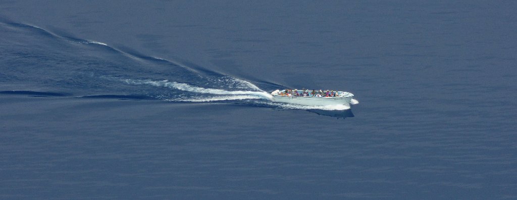
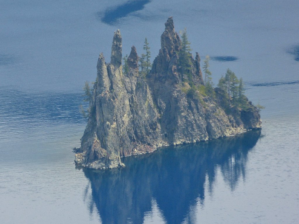
The cruise boat heads toward Phantom Ship
My walk ends with a slight uphill climb, but that is okay.
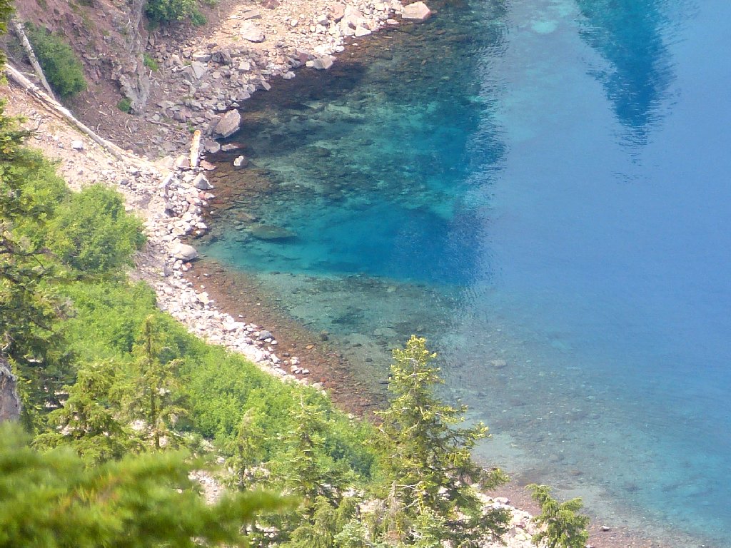
Close-up of Eagle Cove below the lodge
§: Both this walk and my photographs turned out better than
expected today, considering the overcast and smoky haze. I'm sure
it will be better next time.
| Scenery |  |
| Difficulty |  |
| Personality |  |
| Air Quality |  |
| Solitude | |