
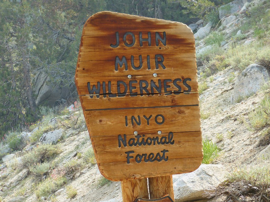
John Muir Wilderness
|
Hidden Lakes of Little Lakes Valley John Muir Wilderness |
July 24, 2013
This is the beginning of a four-day trip to the heart of the Eastern Sierra. After I pass through Lee Vining, the sky begins to fill up with smoke from a forest fire somewhere. I could go back to the Tioga Pass area, which seemed clear enough; but I elect to press on another forty miles, hoping to get past the problem area.
That doesn't work. The skies are plenty hazy here at Mosquito Flat,
but I am out of options for the moment. In addition, the nearest parking
spot is more than a quarter-mile from the end of the road.
It serves me right for showing up in late morning at the most popular
trailhead in the Sierra.
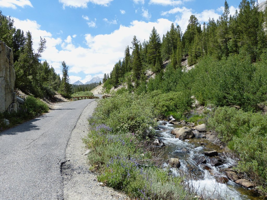
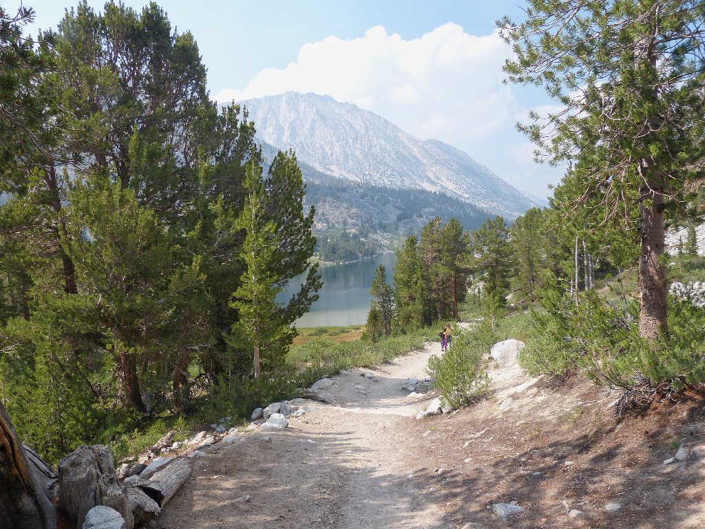
Slogging up the pavement
The starting point
The plan is to visit some of the many lakes in this valley that are neither
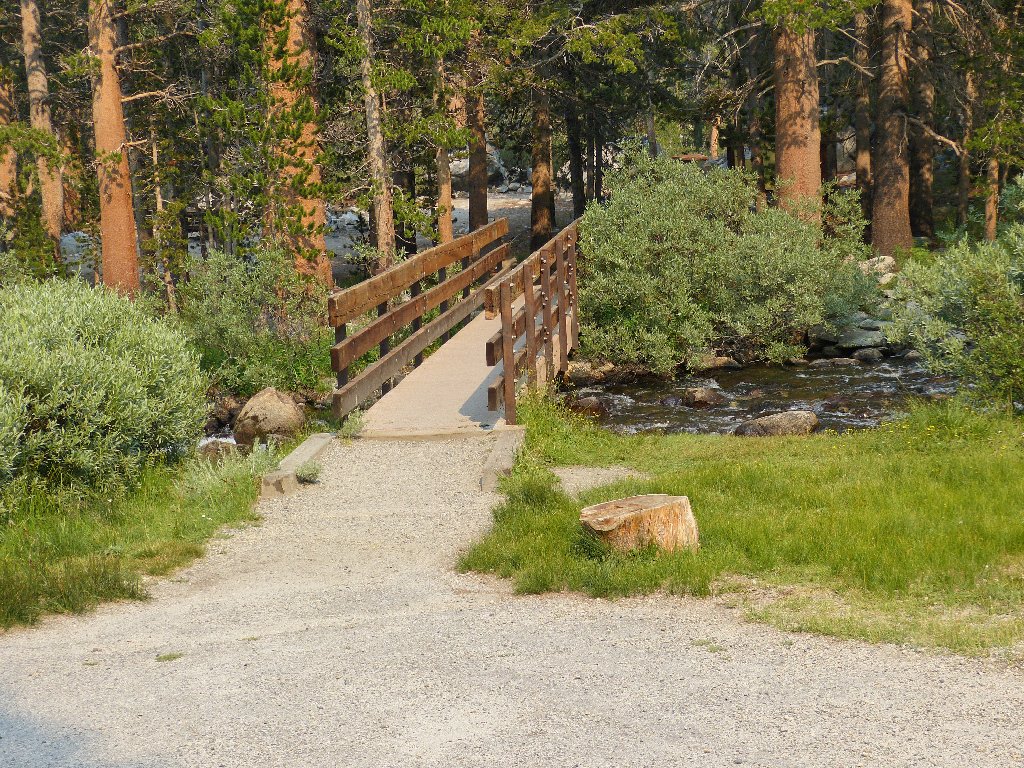
on the standard route nor visible from it. There is a little trail at the
start, over to a group of less-visited lakes.
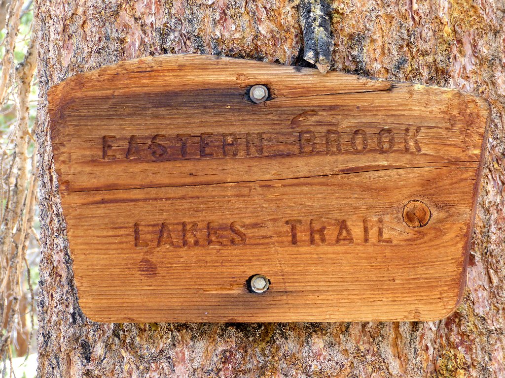
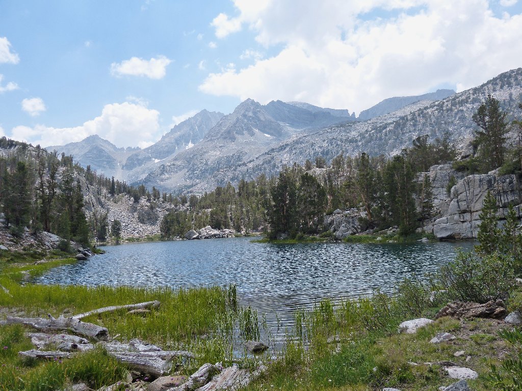
South Eastern Brook Lake
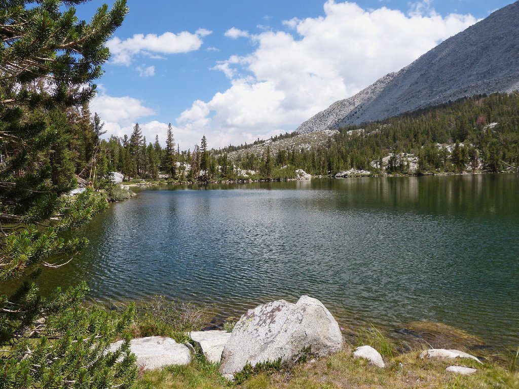
"Eastern Brook" must refer to the resident fish
From here, all navigation will be via GPS waypoints and a map.
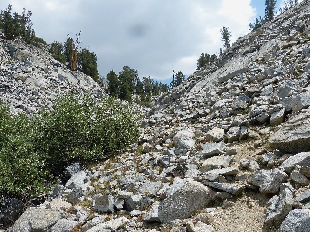
In order not to miss the next item on the list, I must climb up and over
a little rock-covered ridge that is rather steep on the other side.
Not this way
This way
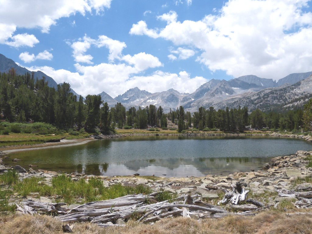
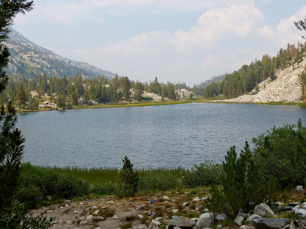
Lake #2
Proceeding a bit farther gets me to the 'back side' of a lake that I do recognize:
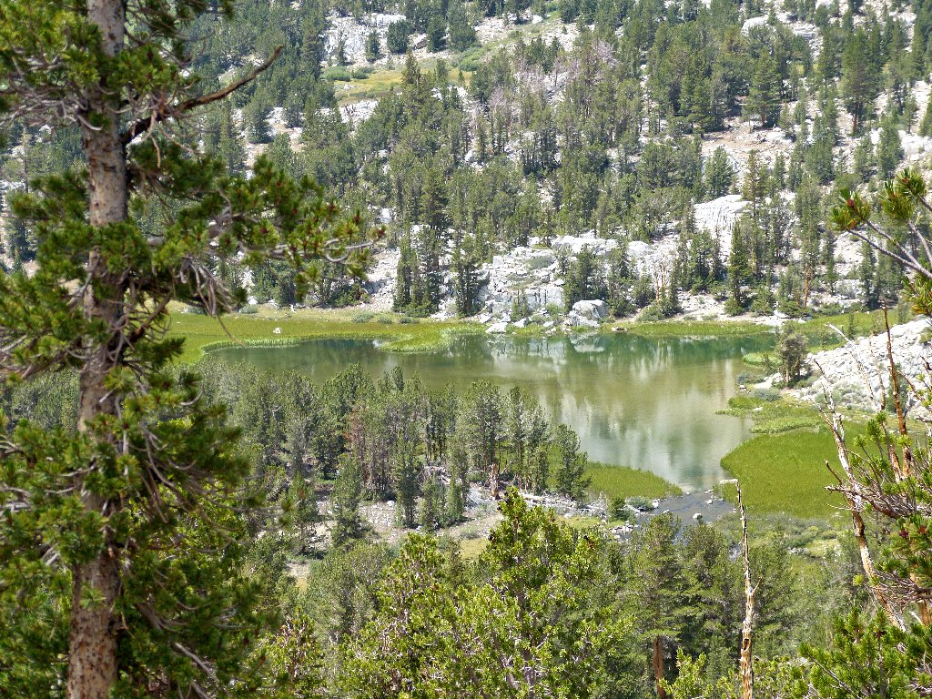
Marsh Lake
The main trail is right over there
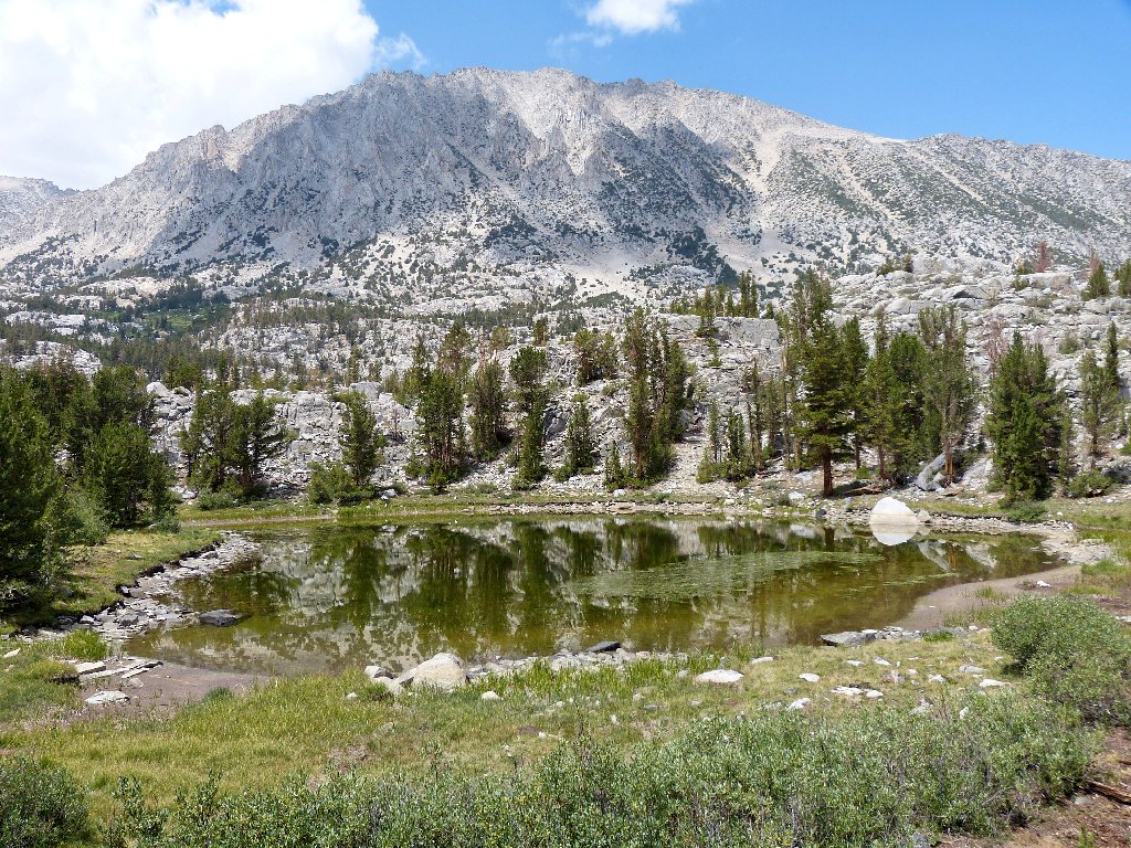
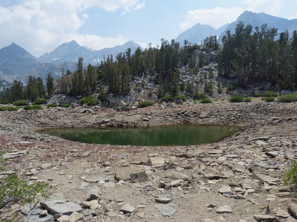
The next section involves a serious up-and-down scramble. The pond below will dry up before long.
Lake #4
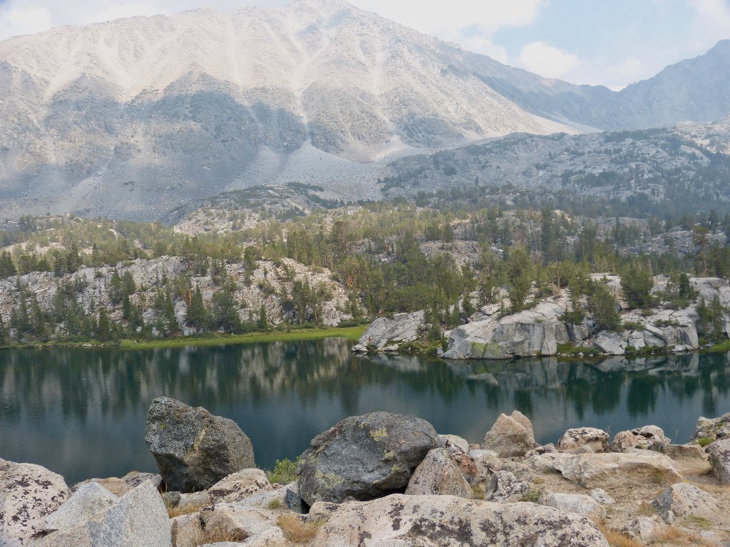
It is distressing to have to take photographs under such adverse conditions. Doubtless many of them will suggest better air quality than actually is present. Some photos seem uninteresting enough that I will not share them later.
The next area is marked on the topo map as Hidden Lakes. There are four or five significant bodies of water back here.
Lake #5
Lake #6
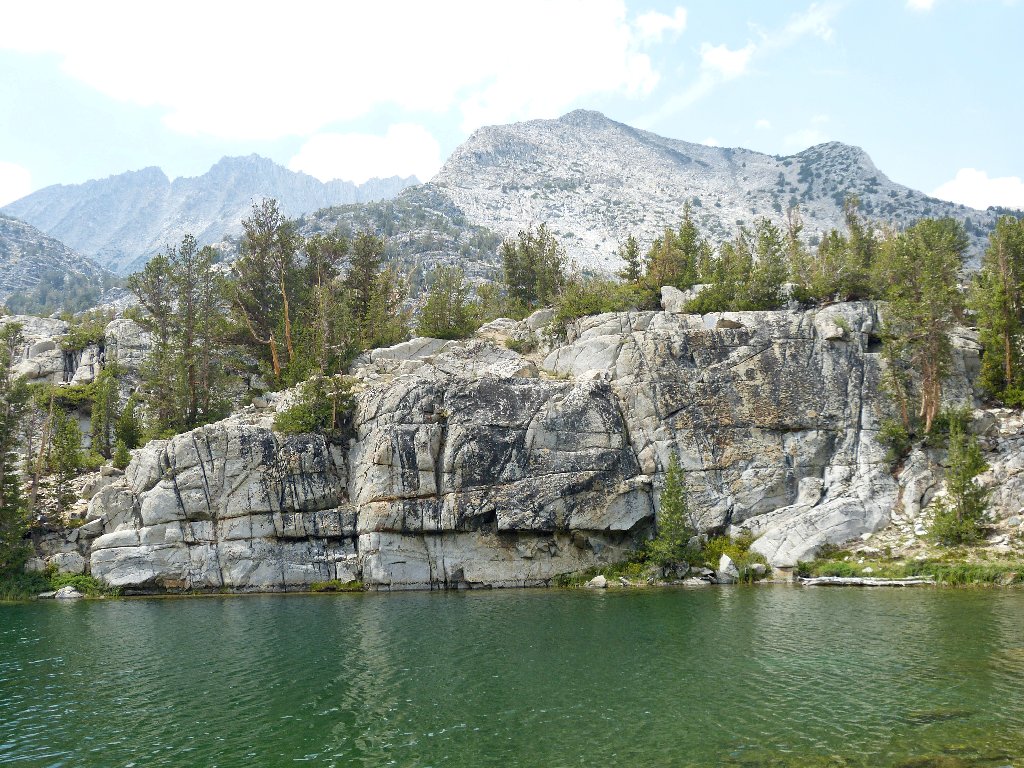
Box Lake is not shaped anything like a box; there is a long thin section with a little round piece attached to the side of the north end.
The little round part of Box Lake
Just in front of me is what seems like yet another extension of Box Lake, but there is a channel of flowing water between the two pieces. Crossing that channel seems problematical, so I will circle around to the left.
On one map this is called Lost Lake
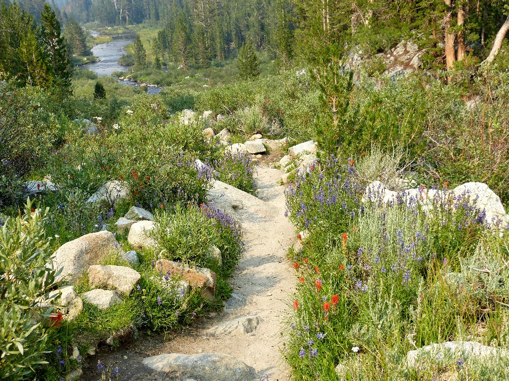
It is nice and green over here in the corner, with lots of flowers around.
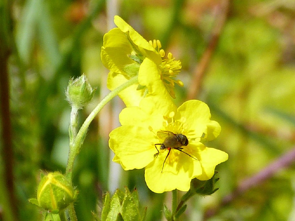
Cinquefoil
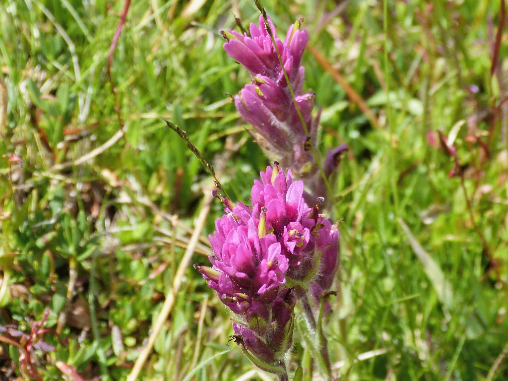
Lemmon's Paintbrush
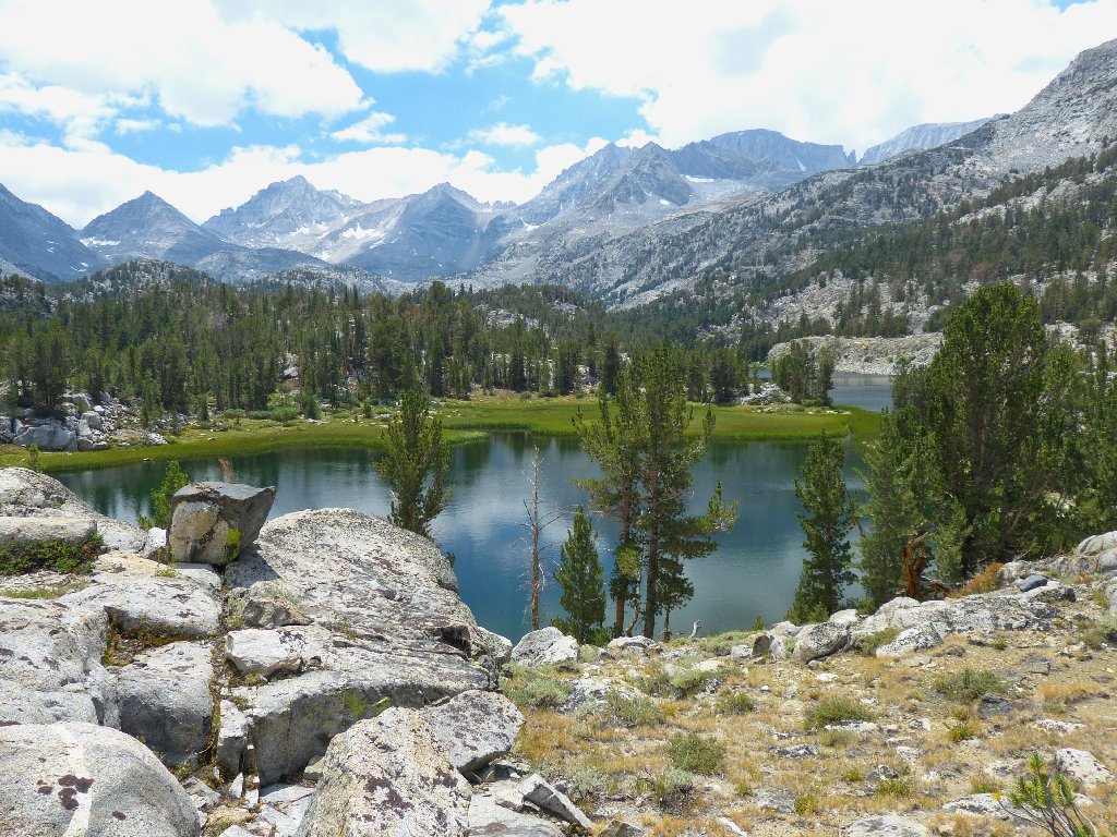
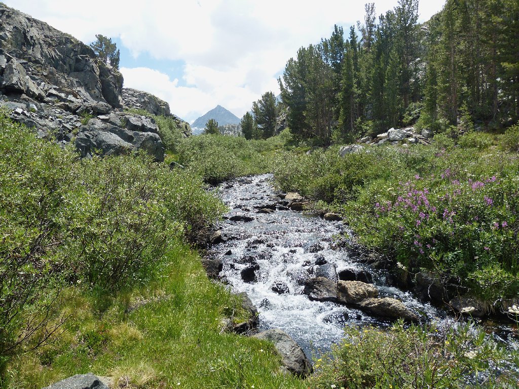
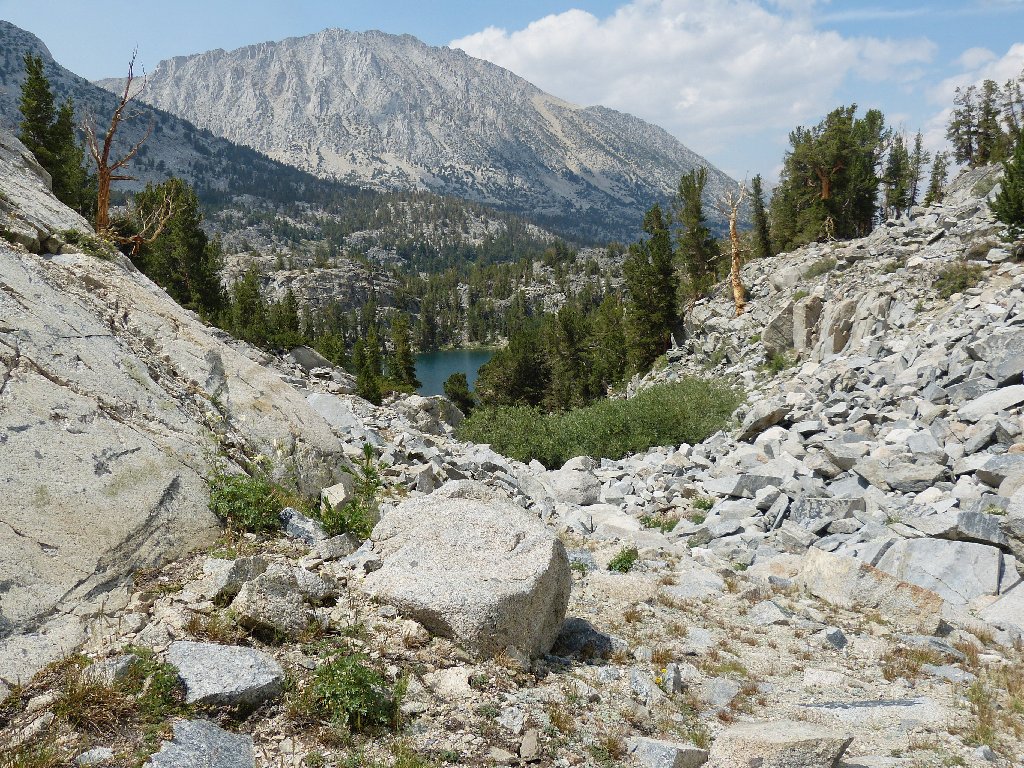
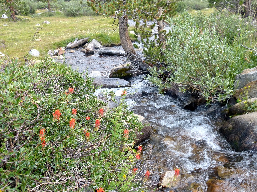
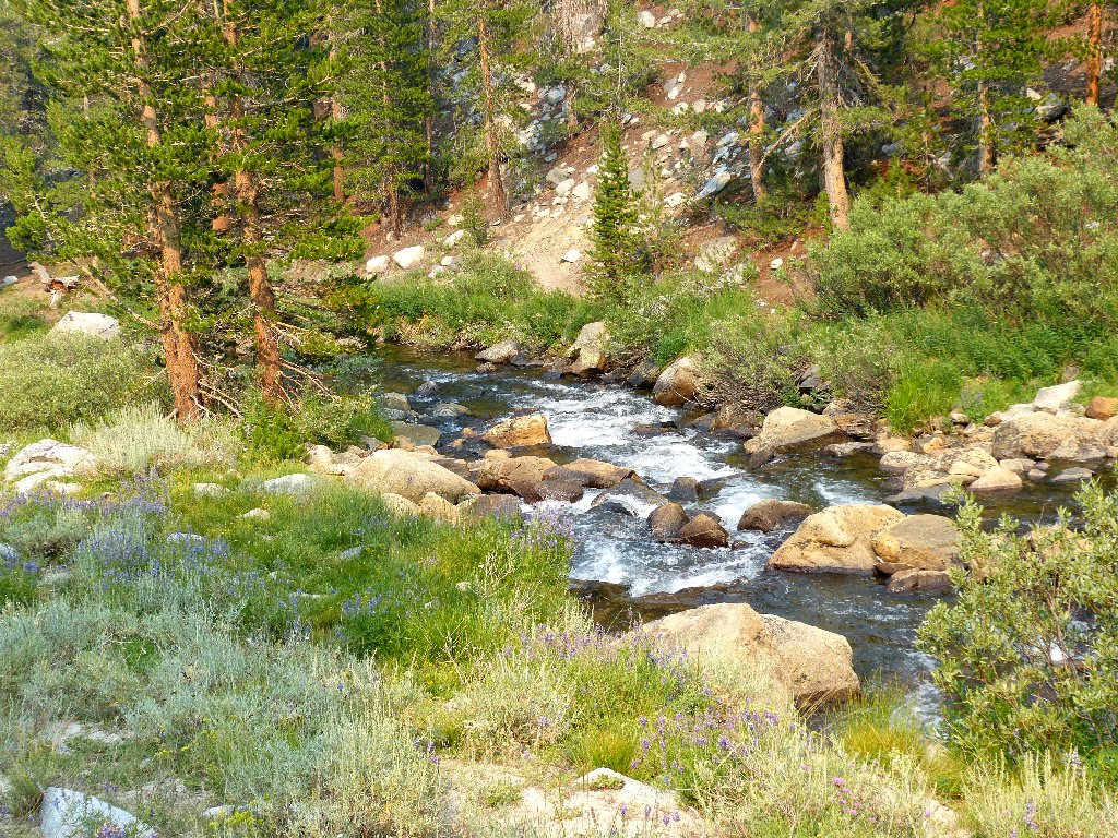
From here I get to follow the unnamed creek that actually drains the other lakes that will be visited on this backcountry loop. Rock Creek itself flows from the Treasure Lakes to Long Lake and then into Box Lake.
Peak 12782
What I can see of the mountains is stupendous. Sierra scenery doesn't come much better than this. My telephoto lens can barely make out some the distant attractions:
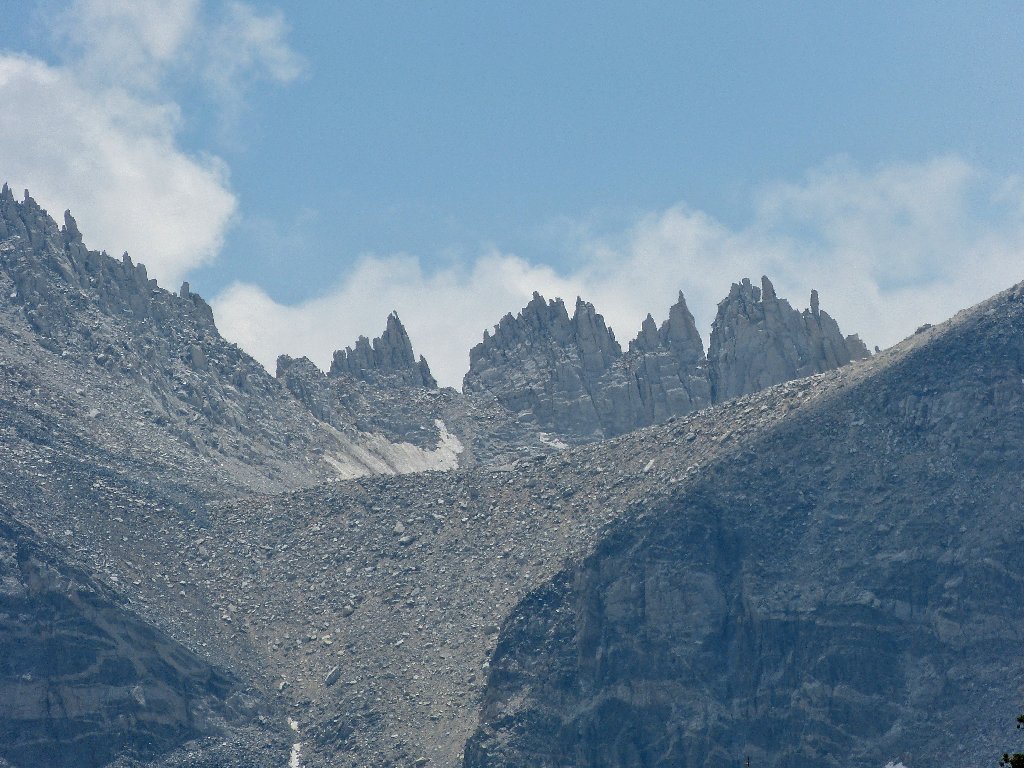
Pipsqueak Pinnacles
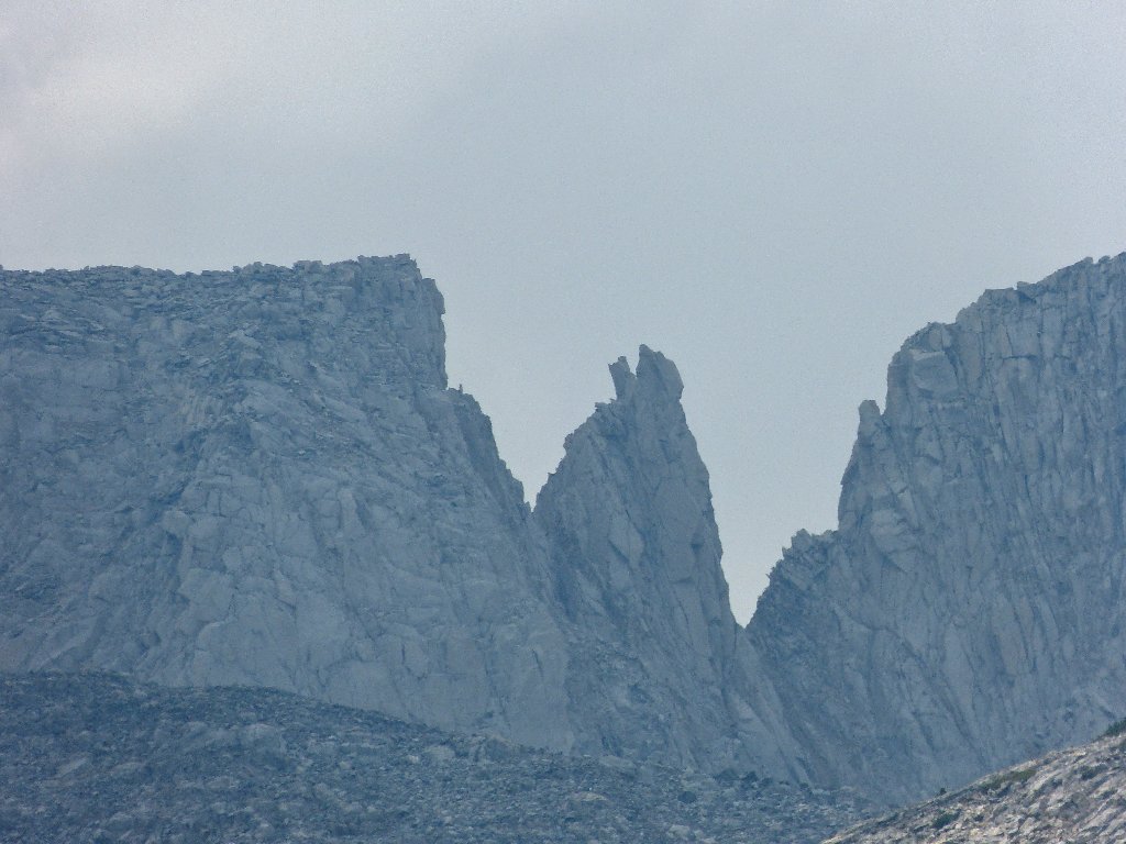
Bear Creek Spire
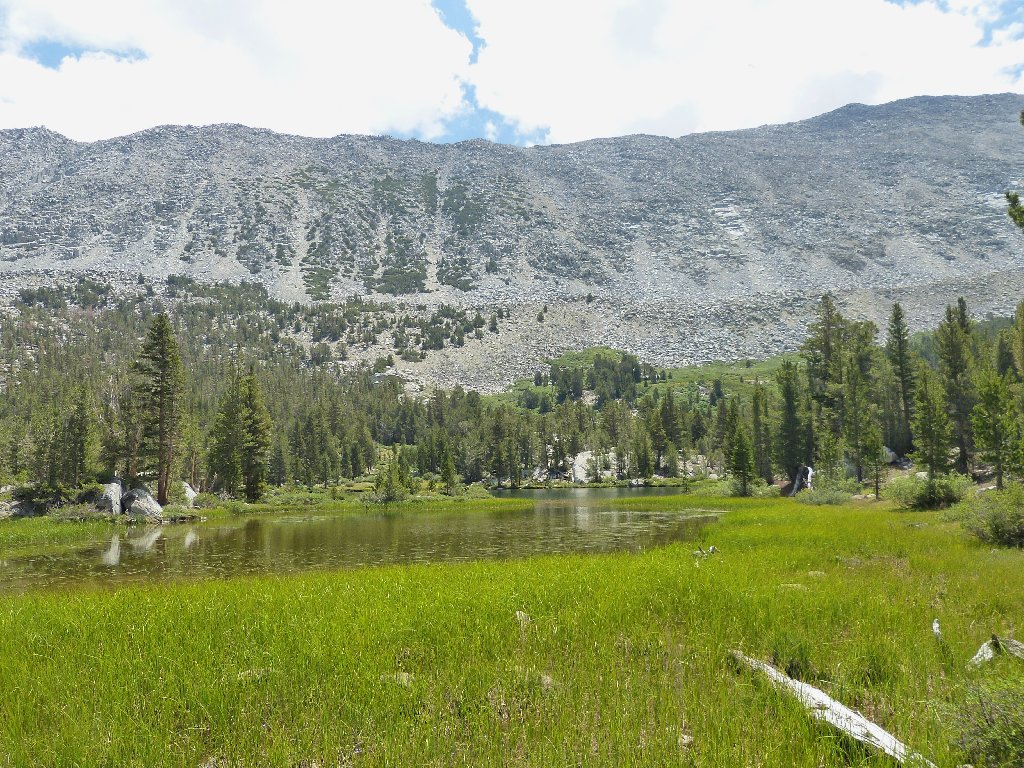
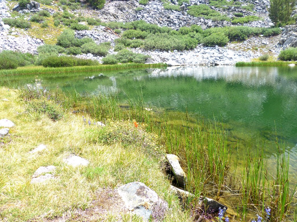
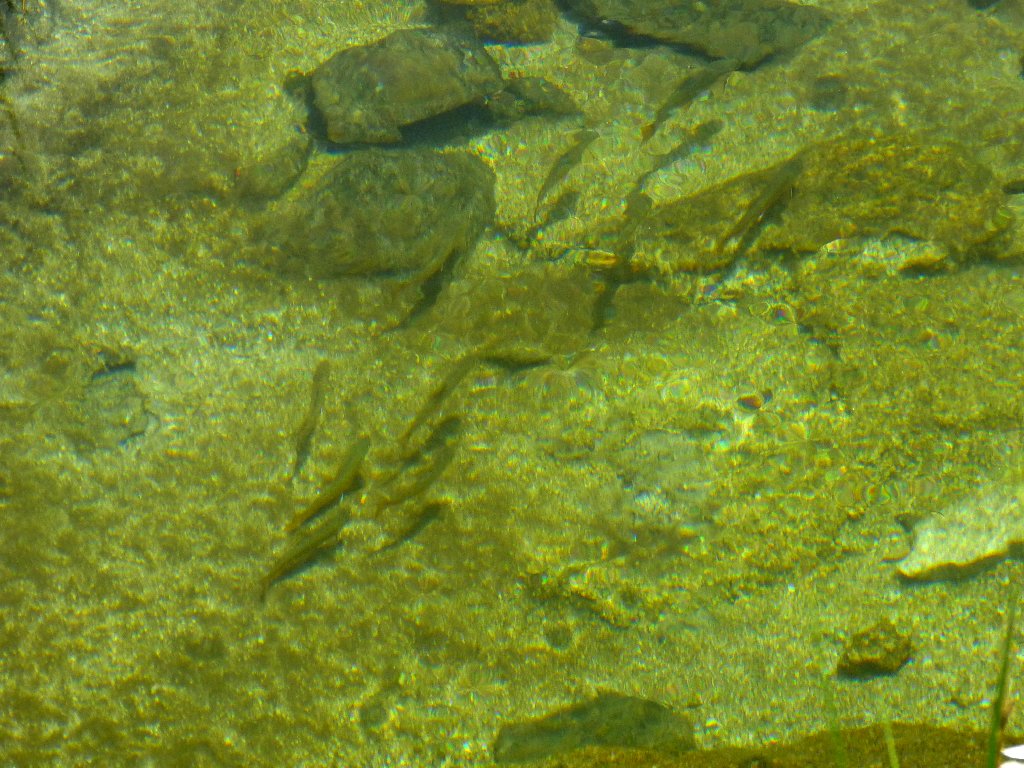
A nice meadow appears, sporting a gorgeous, crystal-clear creek. Little fishies are scurrying all over the place.
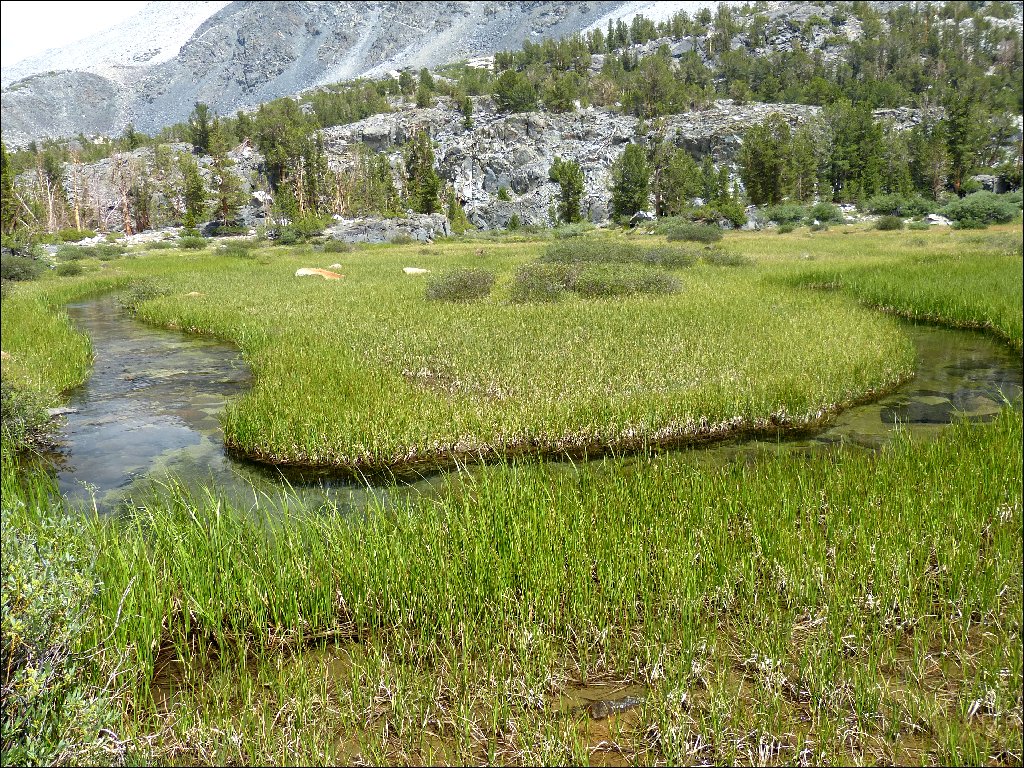
Little Fish Lake
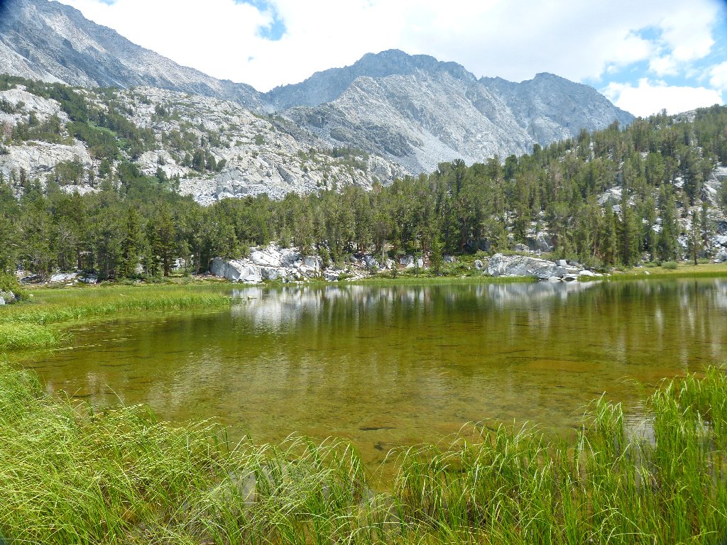
Big Fish Lake, looking south
Big Fish Lake, looking west
Now I must scramble about two hundred feet straight up a little canyon. There is no water; but there are plenty of rocks.
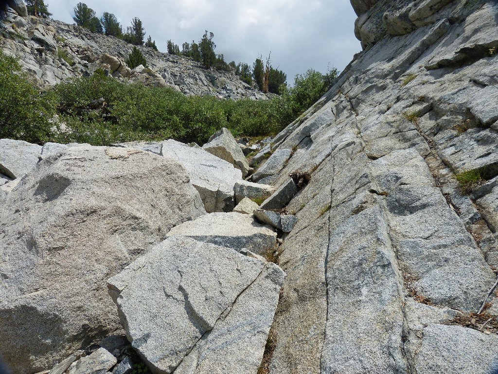
A use trail through the talus actually makes this ascent rather fun
Looking back at Big Fish Lake
At one rest stop is an opportunity to photograph some gorgeous flowers.
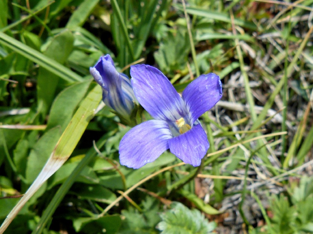
Sierra Fringed Gentian
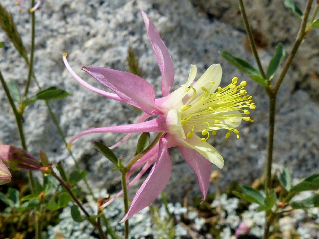
Coville's Columbine
Atop the wash is a grouping labeled on Google Earth as Little Lakes.
They are indeed little, to the point of non-existence.
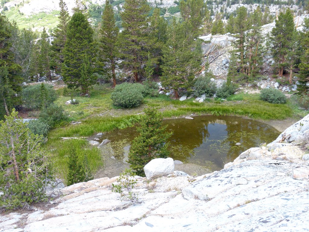
Lake #11 has disappeared
Lake #12 won't last long
Just beyond is the southern terminus of the planned route —
a lake which name makes sense only when looking at its image on a map.
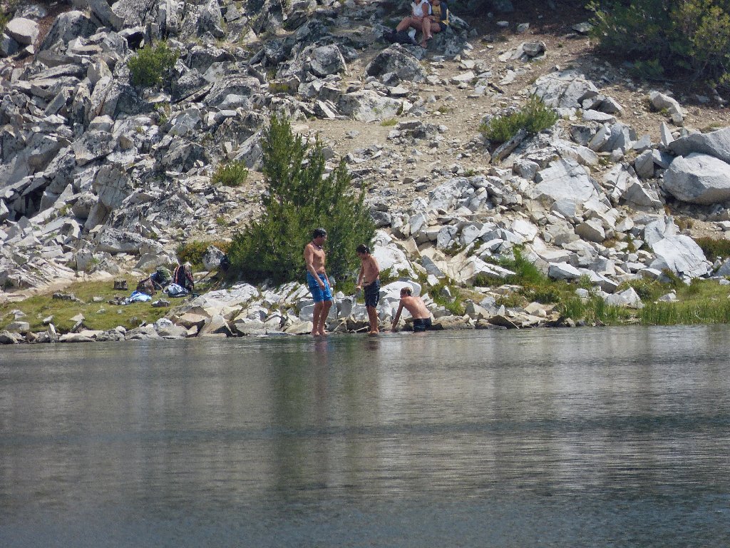
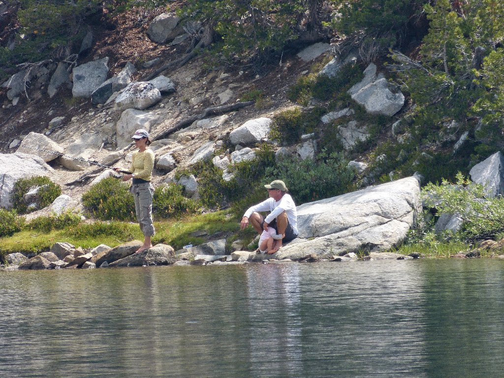
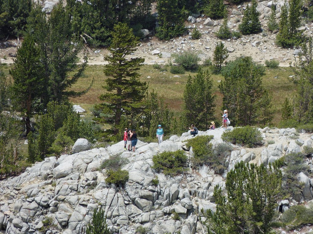
Swimmers and fishers at Chickenfoot Lake
Lunch stop underneath the 13,000-foot peaks
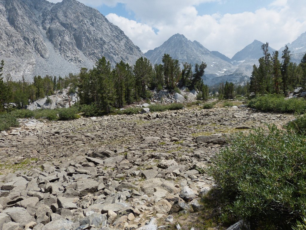
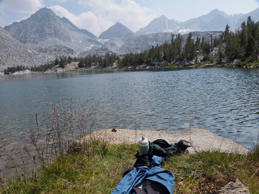
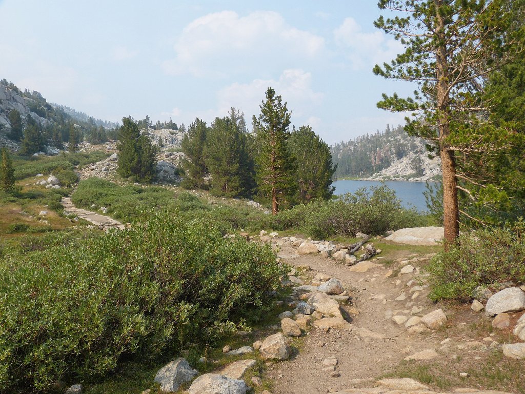
There being no more hidden lakes between here and the end of the valley, it is time to turn around. From Chickenfoot Lake it is a short walk over to the main trail. By attempting a shortcut, I make it a longer, steep scramble.
Approaching Long Lake
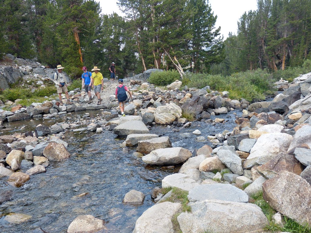
A fun crossing of Rock Creek
From this point I tarry no further; my sole objective is to get back to the trailhead.
My erstwhile venue is over there behind Box Lake
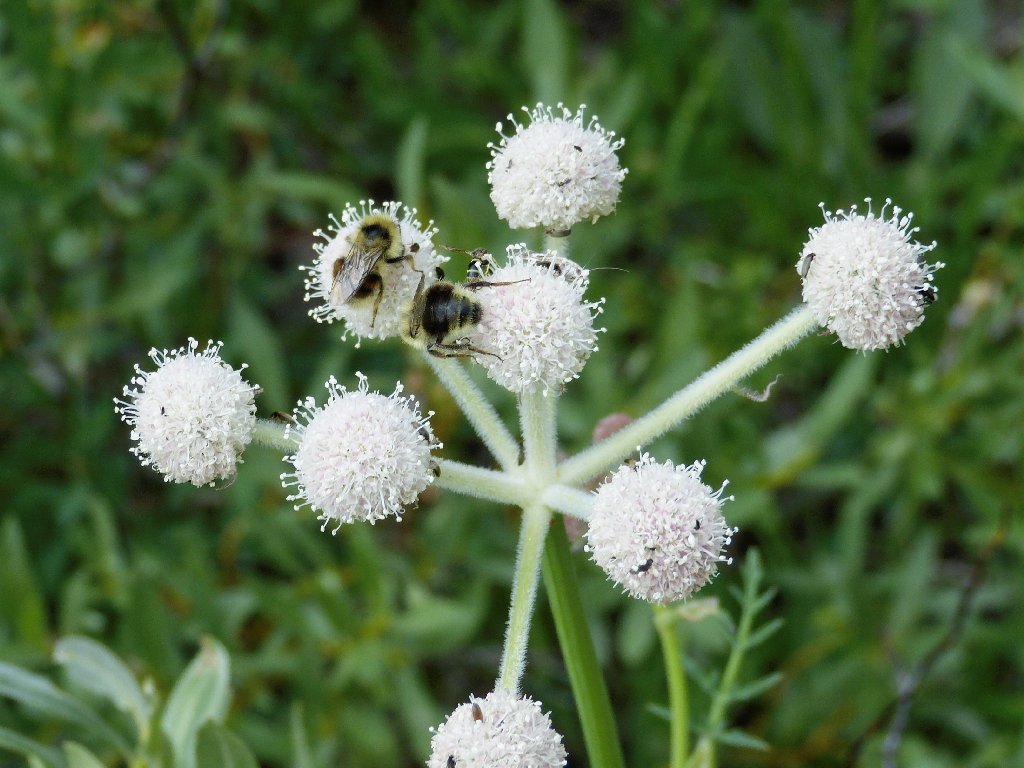
Bees do like Rangers Buttons
Heart Lake
Ruby Creek
There is hardly anyone else on the trail. Perhaps they already have departed.
Mack Lake is seen only from this angle
Rock Creek ahead
I'll be back
Eerie lighting near the trailhead
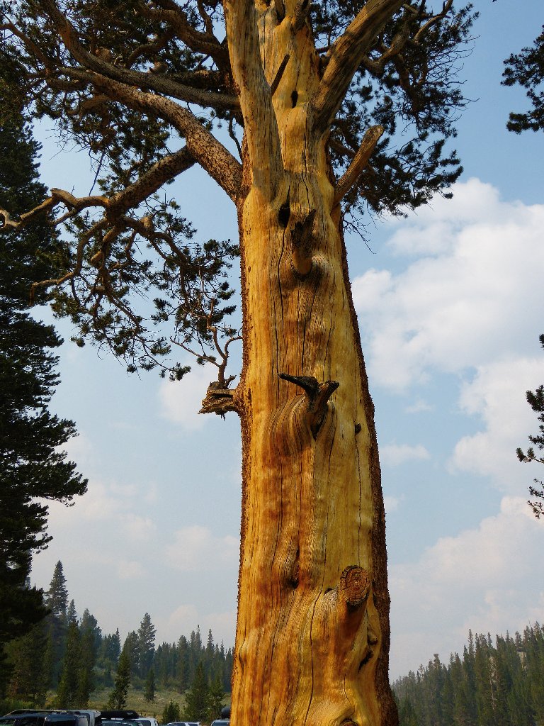
A tree in the parking lot seems more colorful than usual.
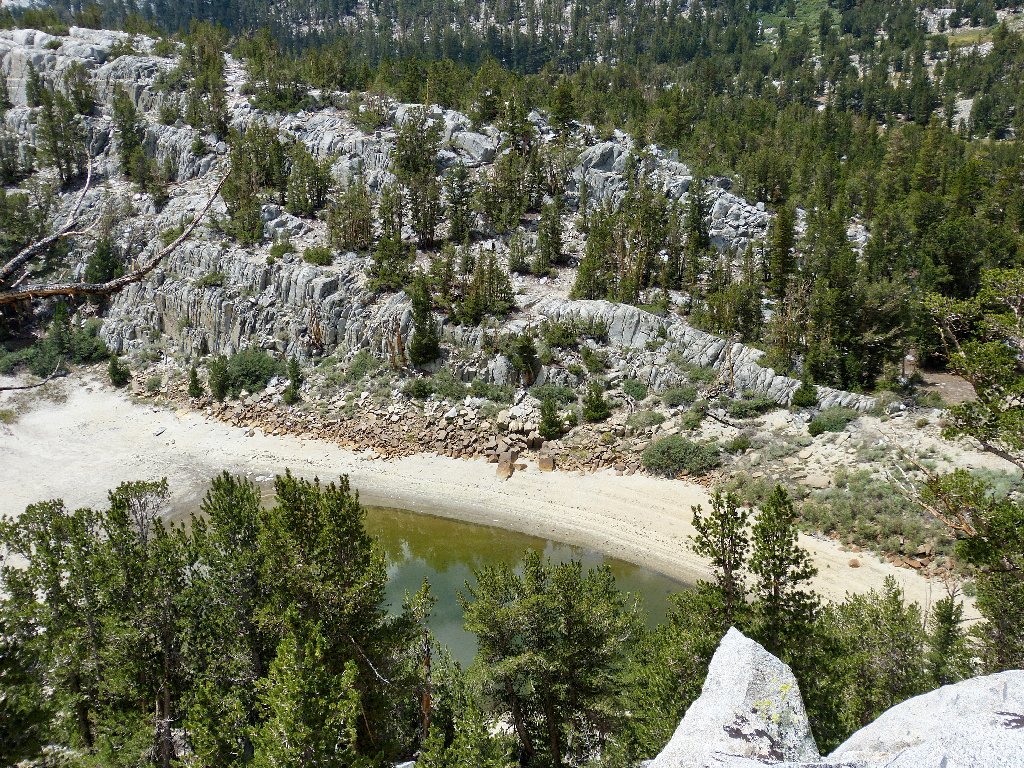
As I leave the area, a photo of Rock Creek Lake tells all:
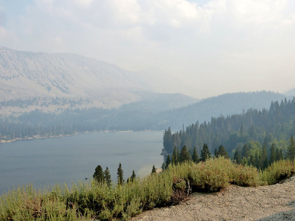
A good time to be somewhere else
§: Of the twenty or so unnamed lakes and ponds east of the trail,
I visited about a dozen, plus five others on the main route. Some of the
cross-country going proved more challenging than expected, and overall
the lakes weren't as interesting as was hoped; in fact, a couple of them
weren't even worthy of a photograph.
With the exception of Lost Lake and the nearby meadows, most of the best stuff in Little Lakes Valley is visible from the main trail. Maybe that's why they put it where it is. Next time, I will be sure not to miss the aptly named Gem Lakes at the upper end of the valley. You shouldn't, either.
| Scenery |  |
| Difficulty |  |
| Personality |  |
| Adventure |  |
| Air Quality |  |
| Flowers | |
| Solitude | |
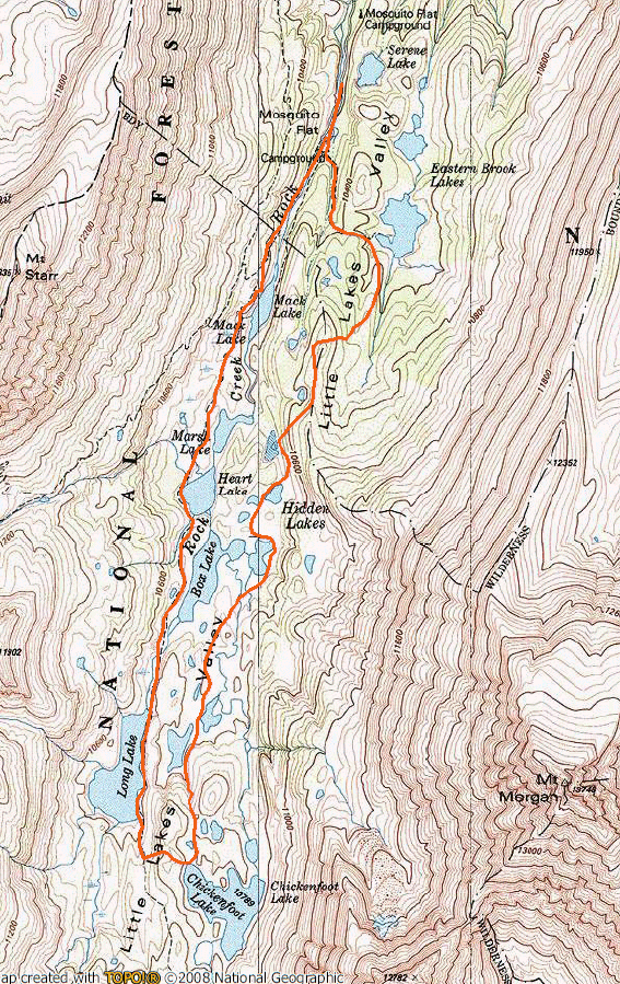
Today's route (clockwise)

For the record, the Aspen Fire over by Huntington Lake grew overnight; so I cut my trip two days short and went home, missing out on a chance to visit my local friends. Hiking in the smoke is depressing.
