
Mokelumne Wilderness
|
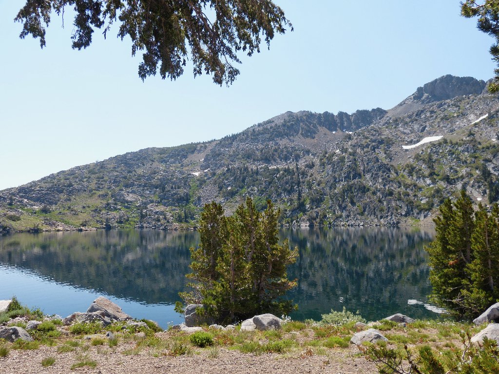
Behind Winnemucca Lake Mokelumne Wilderness |
July 21, 2013
Two days ago I declined to hike at all because of record-high
temperatures in the area; but my feet could wait no longer. It is
75 degrees at Carson Pass and the air quality is terrible as I embark
upon my requisite July visit to the garden spot of the northern Sierra.
Today, however, I have an additional idea in mind.
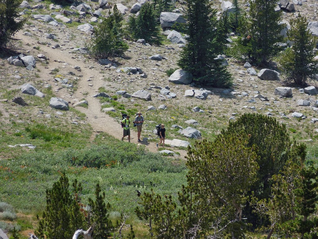
Other hikers do not seem particularly concerned about the heat today;
I barely manage to grab the last available parking space in the main
lot at 10 a.m. This is not a big deal, but it does save a bit
of walking.
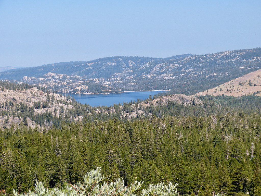
Caples Lake in the haze
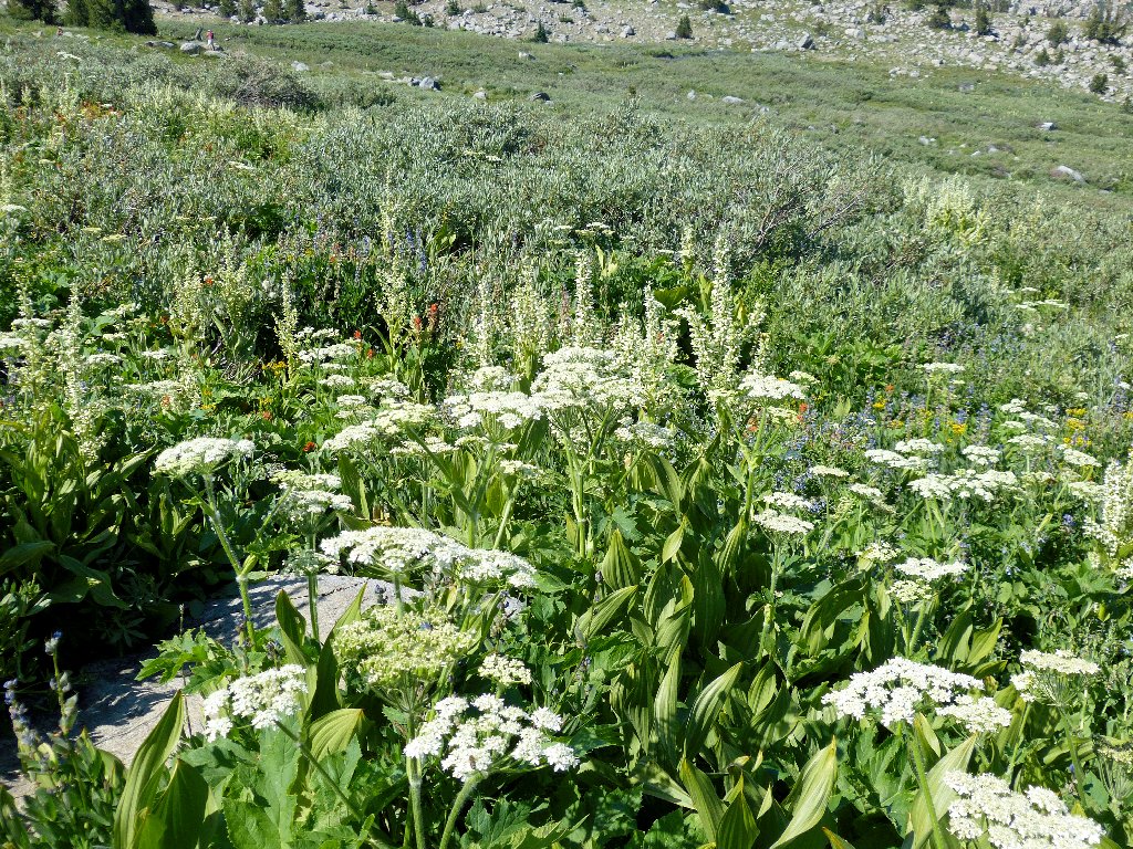
Bypassing Frog Lake with hardly a glance, I proceed directly to
Ted's Garden in the big meadow. The flowers are indeed
out today, and the plant growth is pushing onto the trail itself; but the
heat takes something way from the setting. At the crossing of the flow
from the spring that never seems to dry up, I show an interested couple
the source of the spring itself, it being just a few yards off the trail.
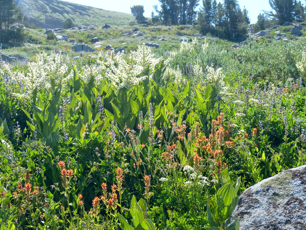
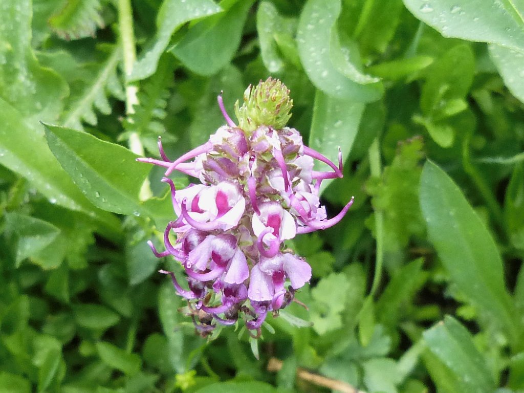
Giant Red Indian Paintbrush
Cow Parsnip
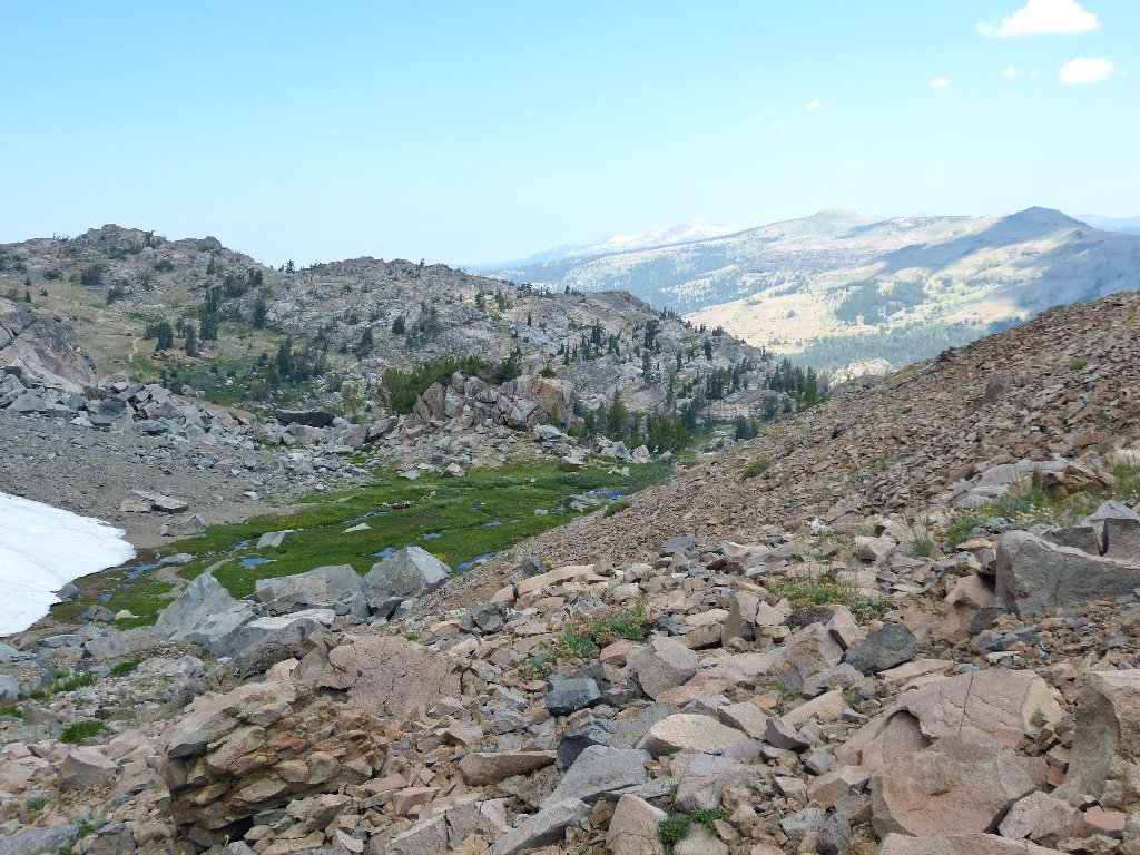
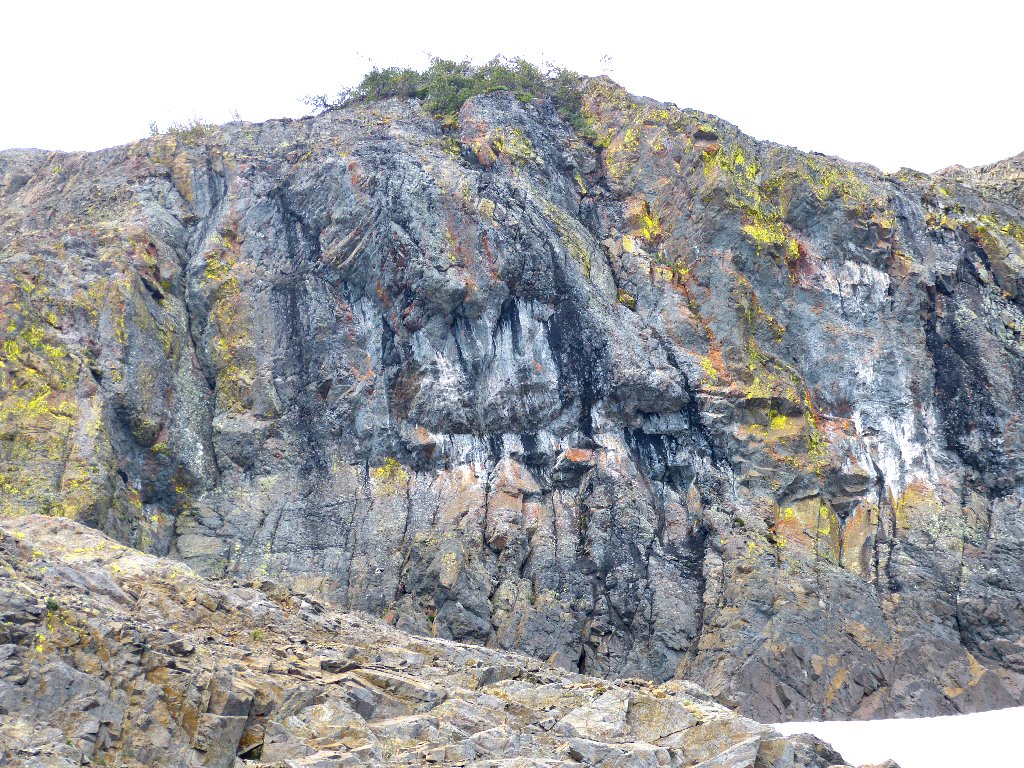
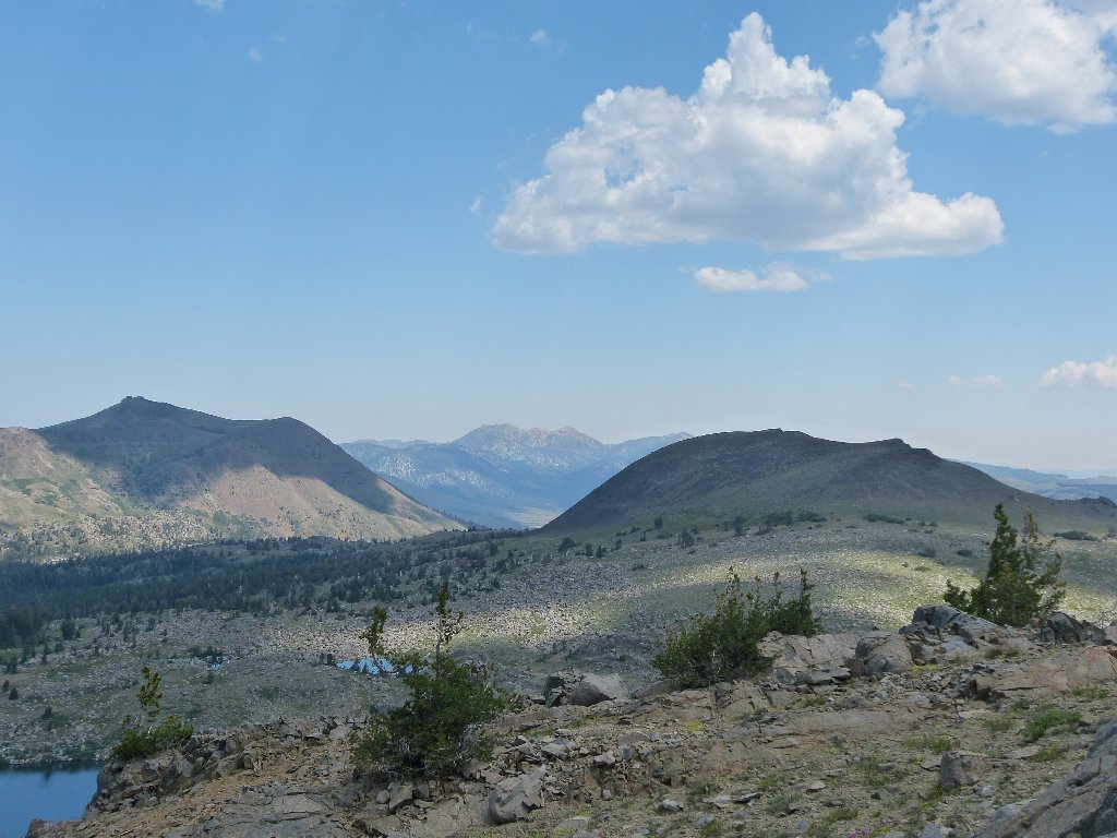
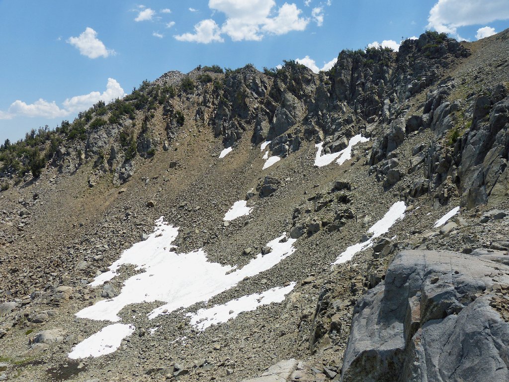
Just ahead is the venue for today's adventure, right underneath the ubiquitous Round Top. The plan is to circumambulate Winnemucca Lake among those cliffs, if possible.
Getting around up there will be an interesting challenge
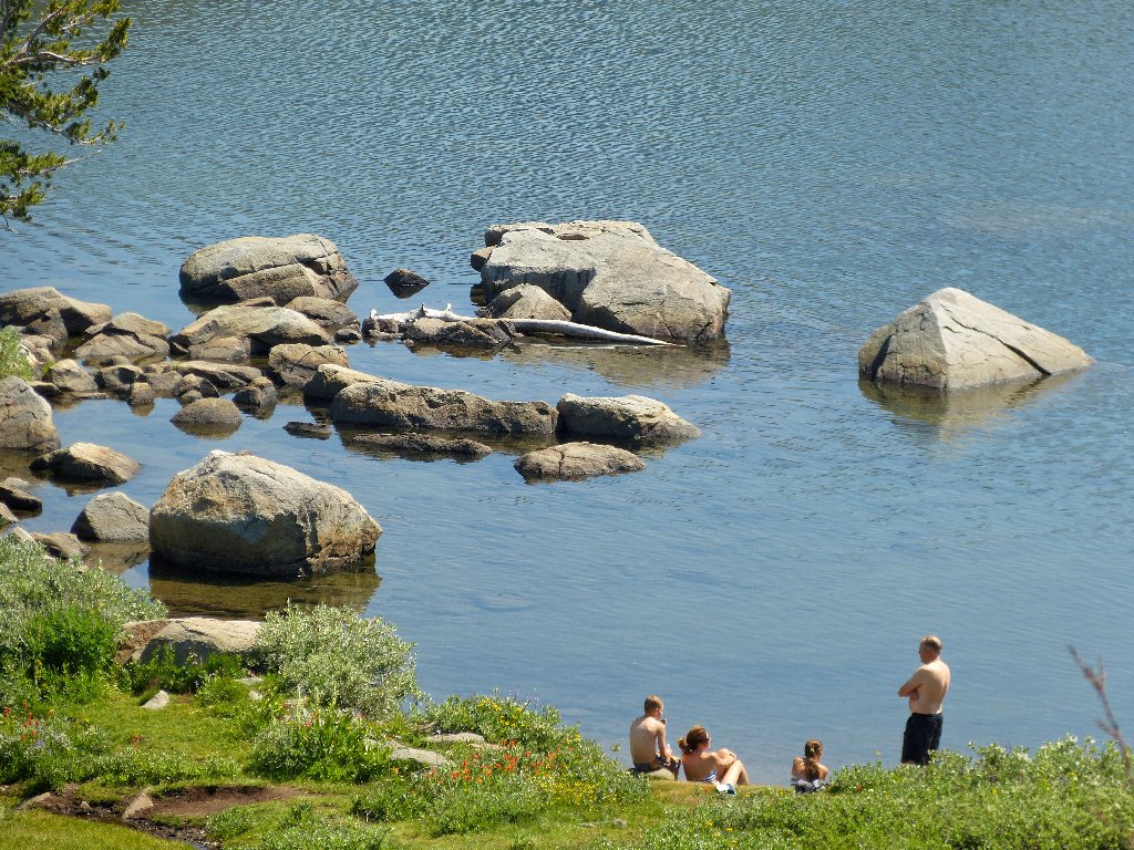
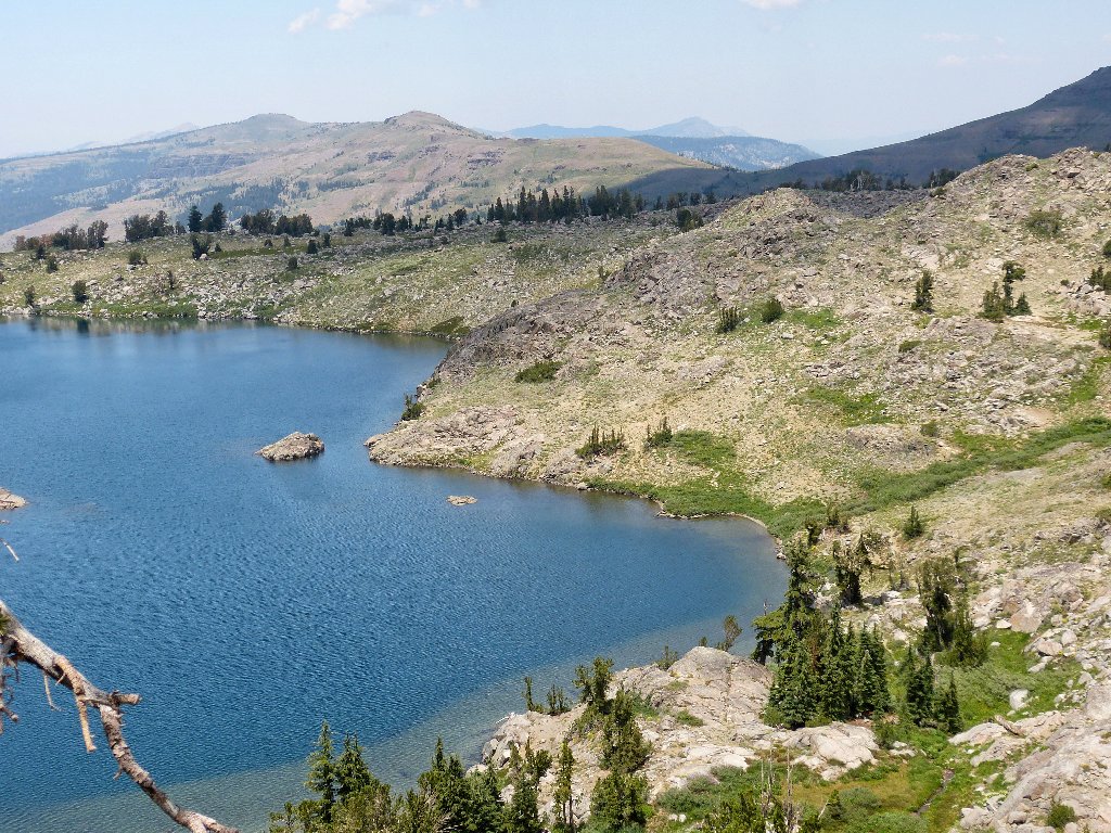
The lake is more popular than usual today, with several groups of swimmers around
Actually, a swim would be nice, but not now; the mission is at hand.
As I cross the lake's outlet on a log, a woman hiker says that she is a poet
and asks me to describe the ragged cliff-tops above. She proposes
"spires", but I suggest "ramparts", and that seems to
satisfy her.
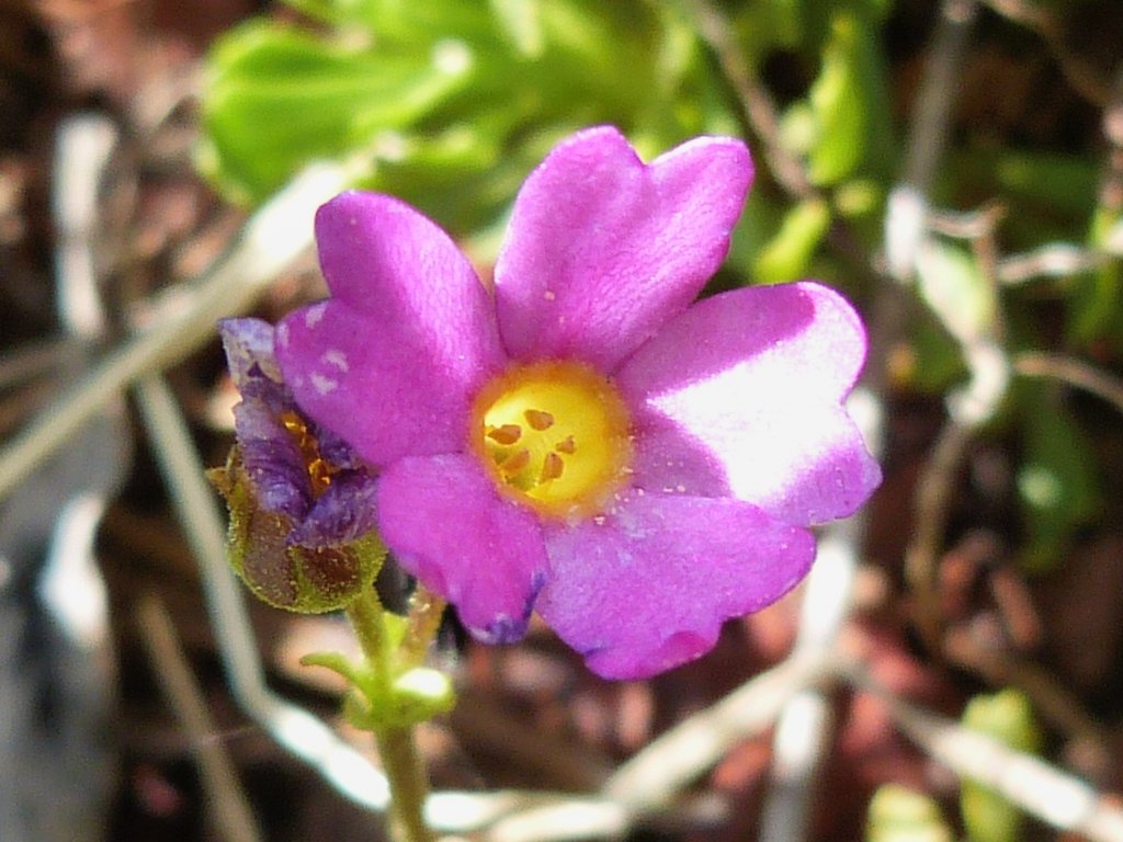
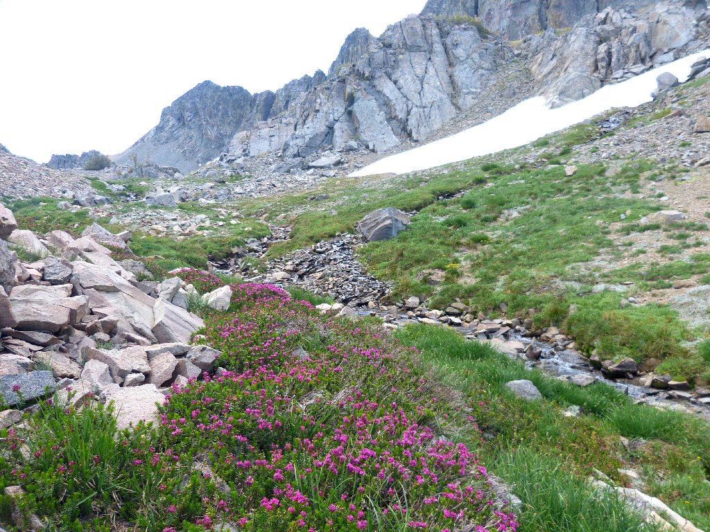
If there is any chance of seeing some beloved heather today, this should be the spot; and surely enough, there are a few healthy bouquets next to the little stream.
Red Mountain Heather
Sierra Primrose
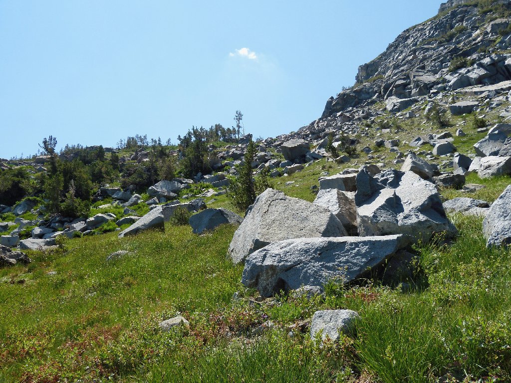
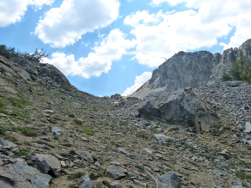
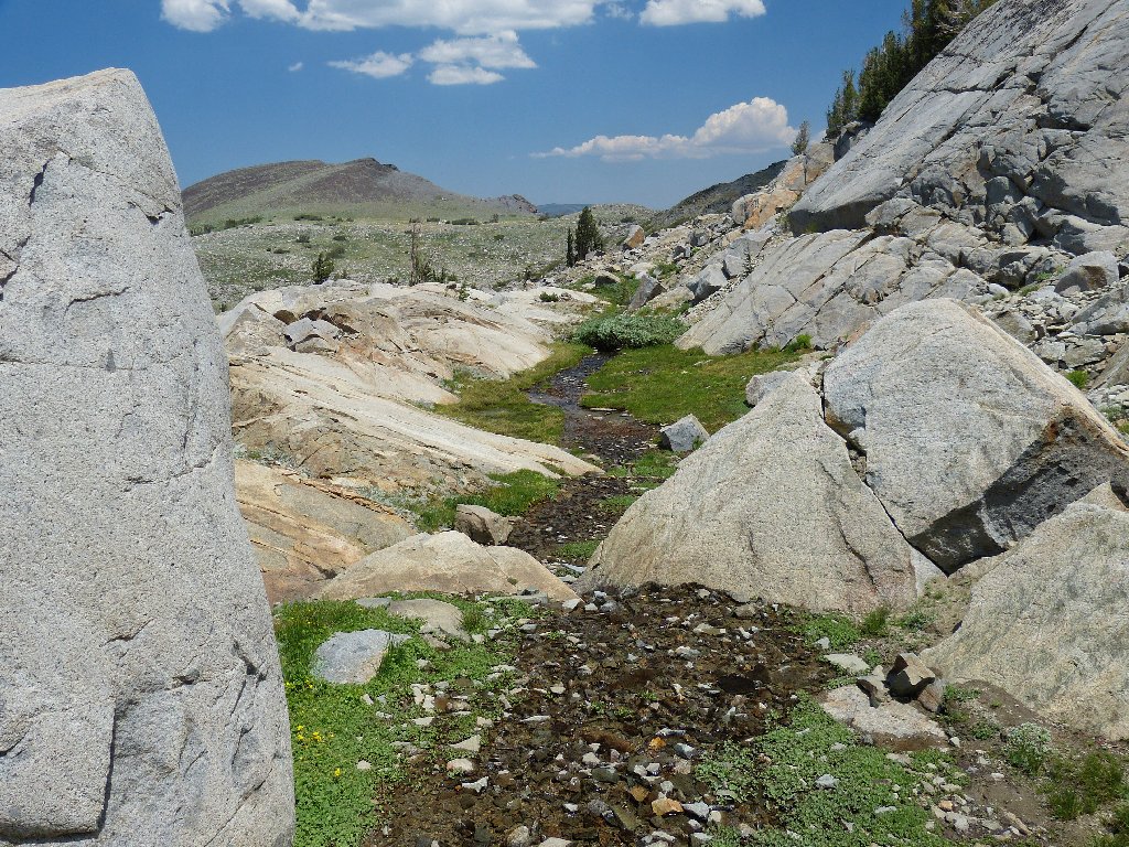
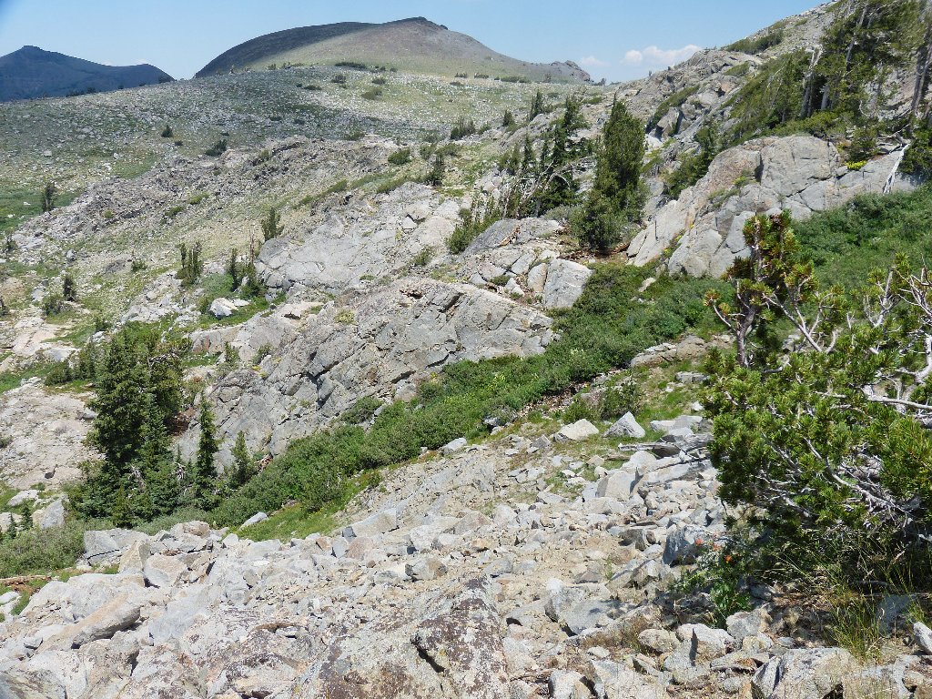
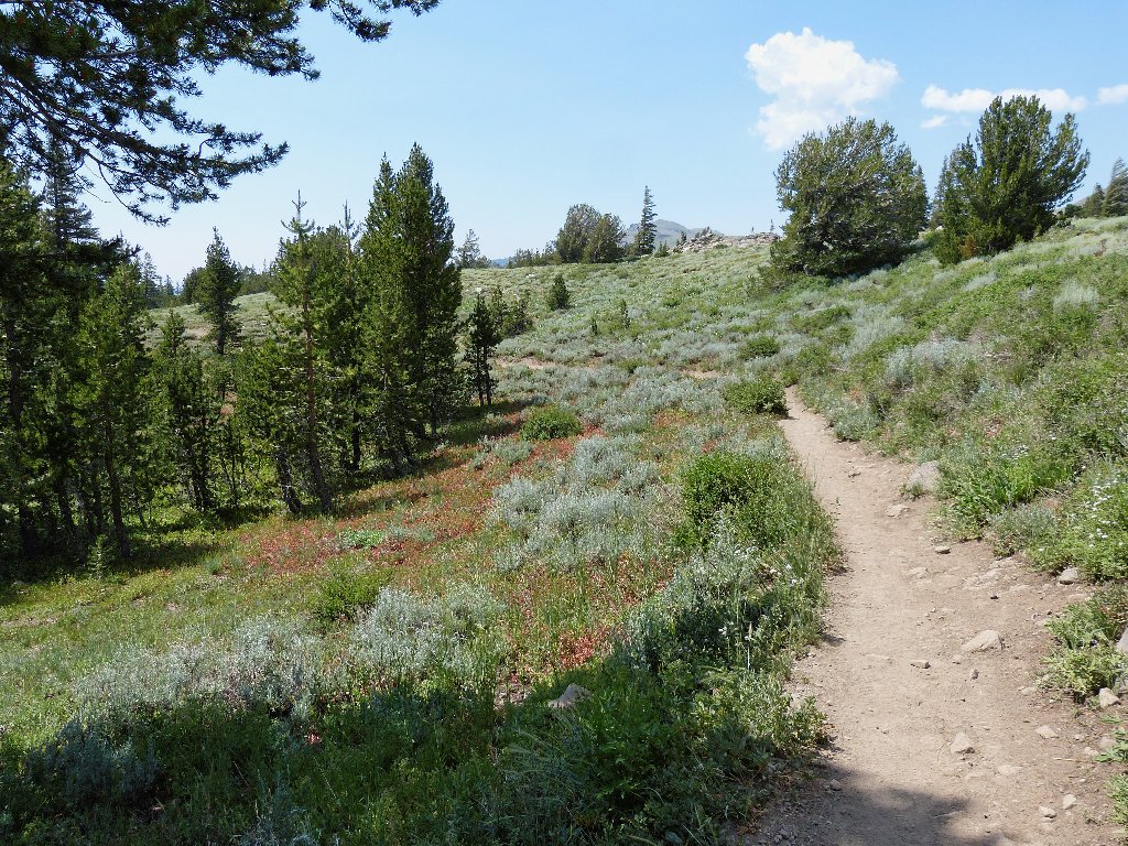
The off-trail adventure begins here
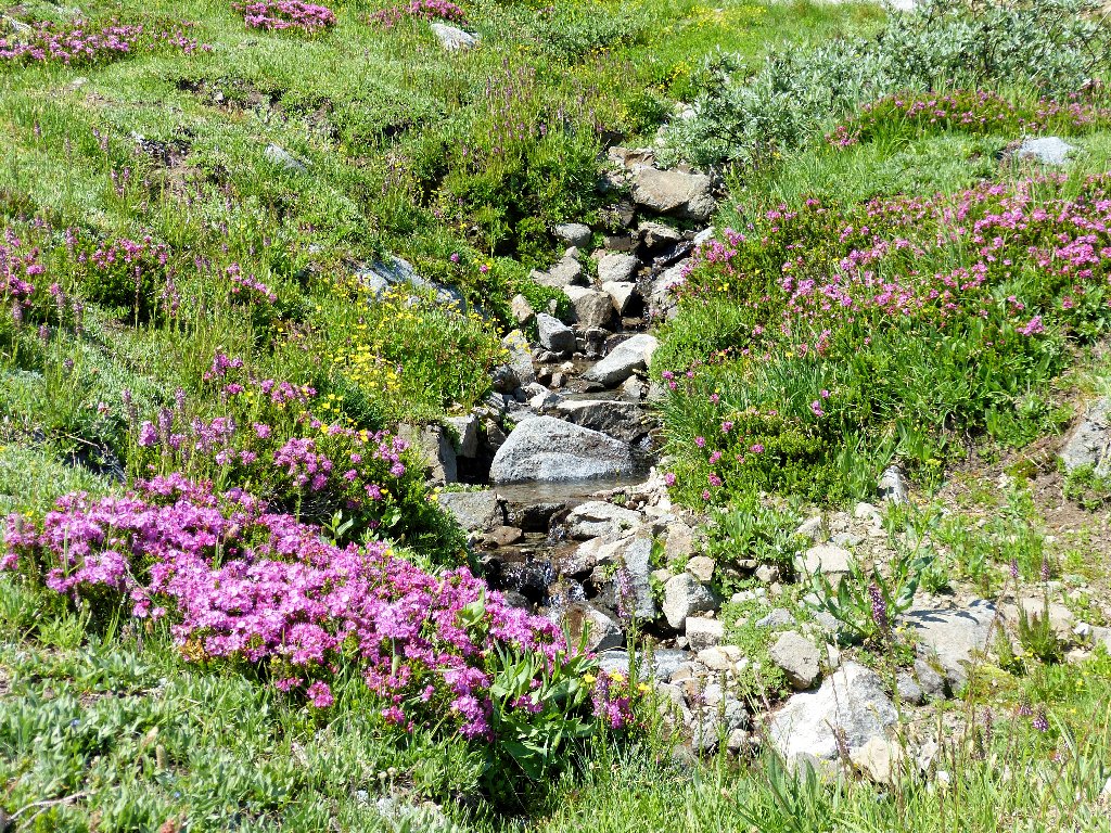
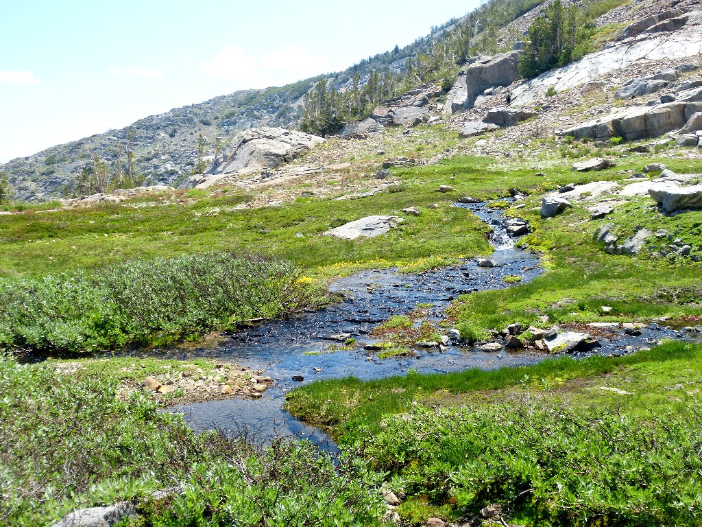
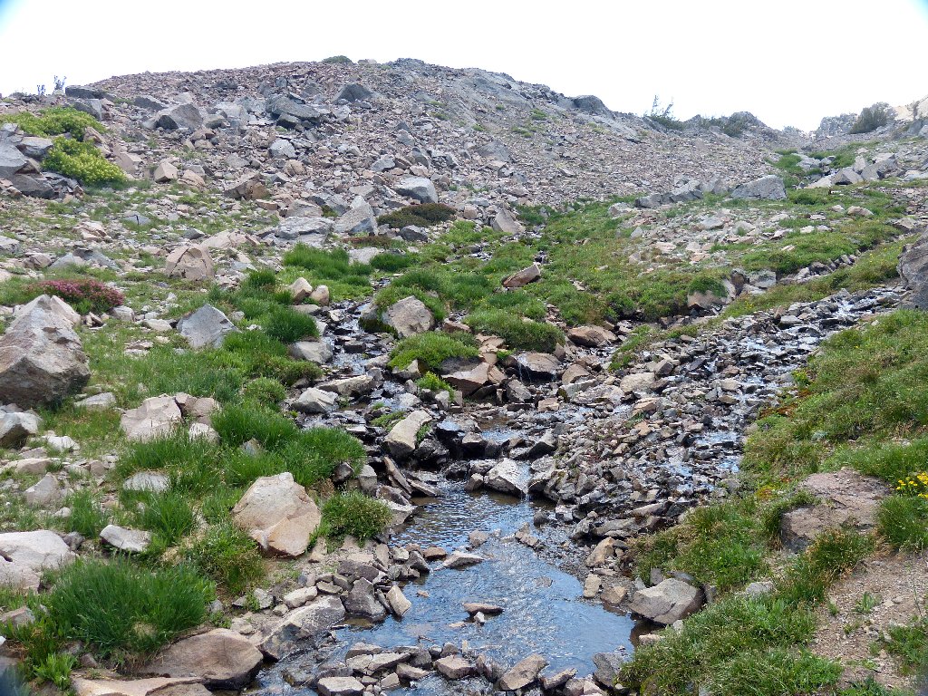
It is time to start up the hill. Following the path of least resistance, I strive for a viewpoint that will provide some idea of what lies ahead. What I had not expected to find was a beautiful, verdant meadow with a babbling brook running through it. This adventure already has made my day.
Heidi must be around here somewhere
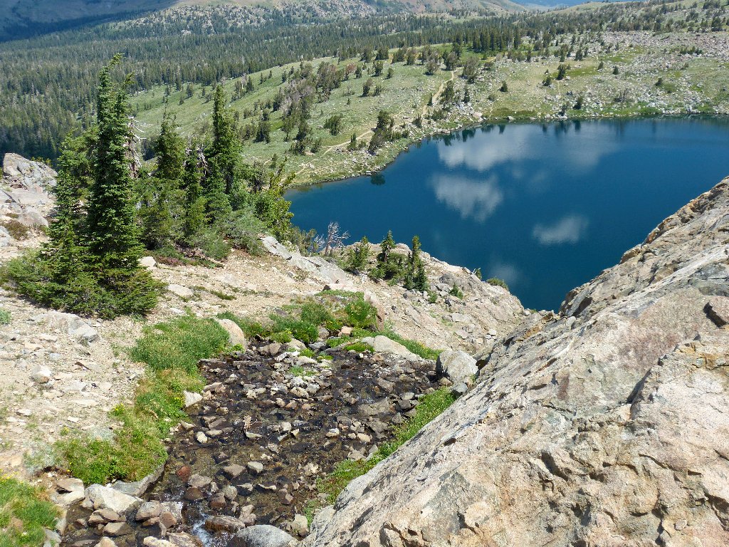
Winnemucca Lake is 300 feet down the cascade
Monkeyflowers line the banks of the creek
After a water-supply refill, it is time to press on.

The task ahead
Looking back at the meadow
Photographing scenery with the sun obscured always is problematical. Sometimes I feel insufficiently skilled to know whether I am taking a good picture or a bad one, so I just shoot a lot of them and hope for the best. Hooray for the digital age.
Nifty colors on the rock
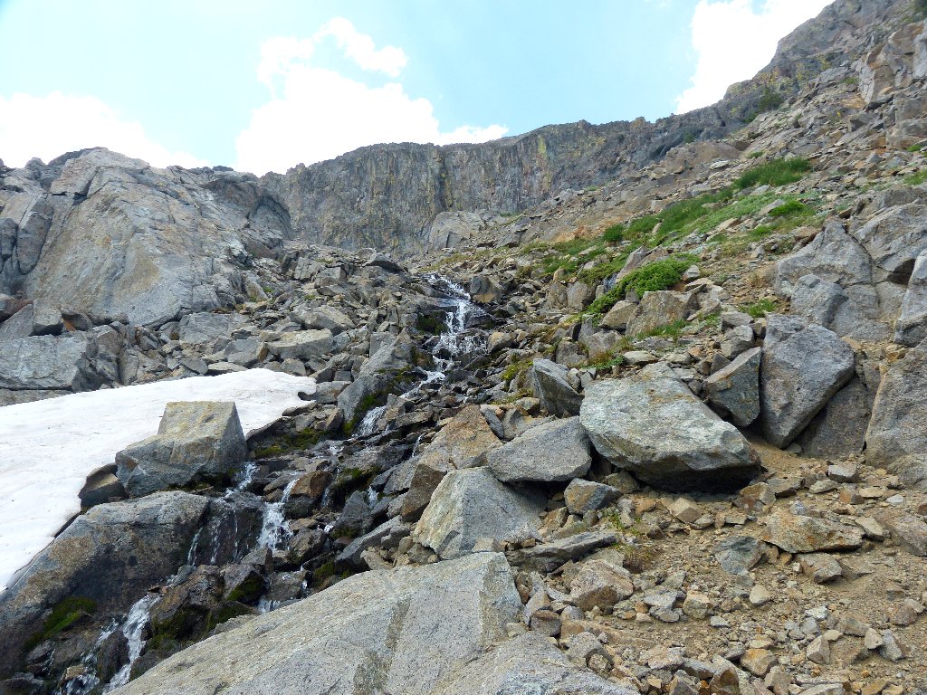
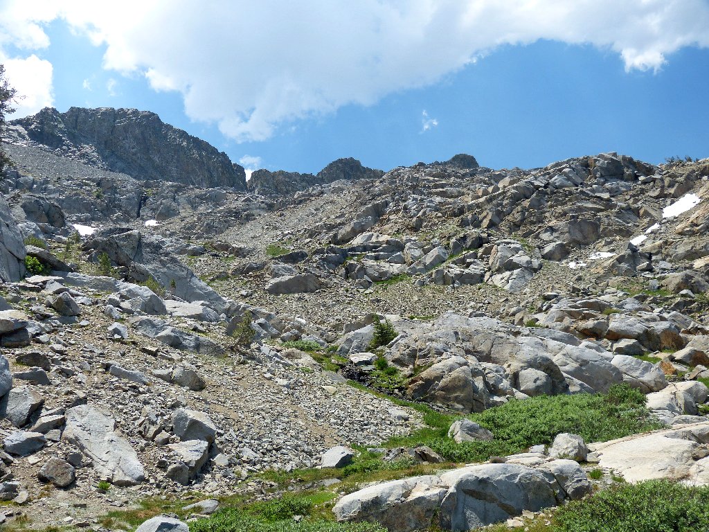
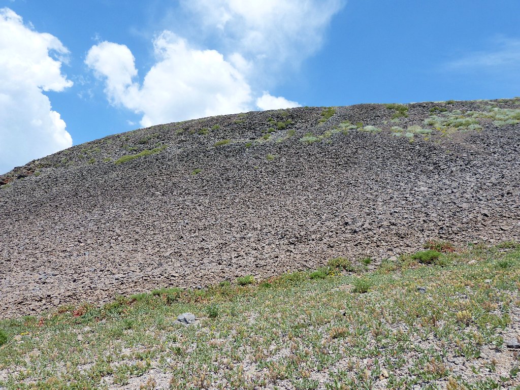
Each scramble up a scree slope begets new rewards —
another snowdrift, another stream, another garden.
This is why I go hiking
Confluence
I must go up there, of course
Had I bothered to pack a map today, I would have known what awaited me.
In any case, after I traverse a 30-foot snowdrift, all is revealed from
the top of the next scree slope:
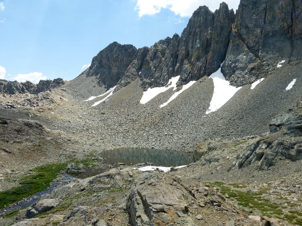
Tarn #4
Having previously assigned numeric ID's to the three tarns on the far side of Winnemucca Lake, it seems appropriate to continue the protocol.
The tarn's outlet
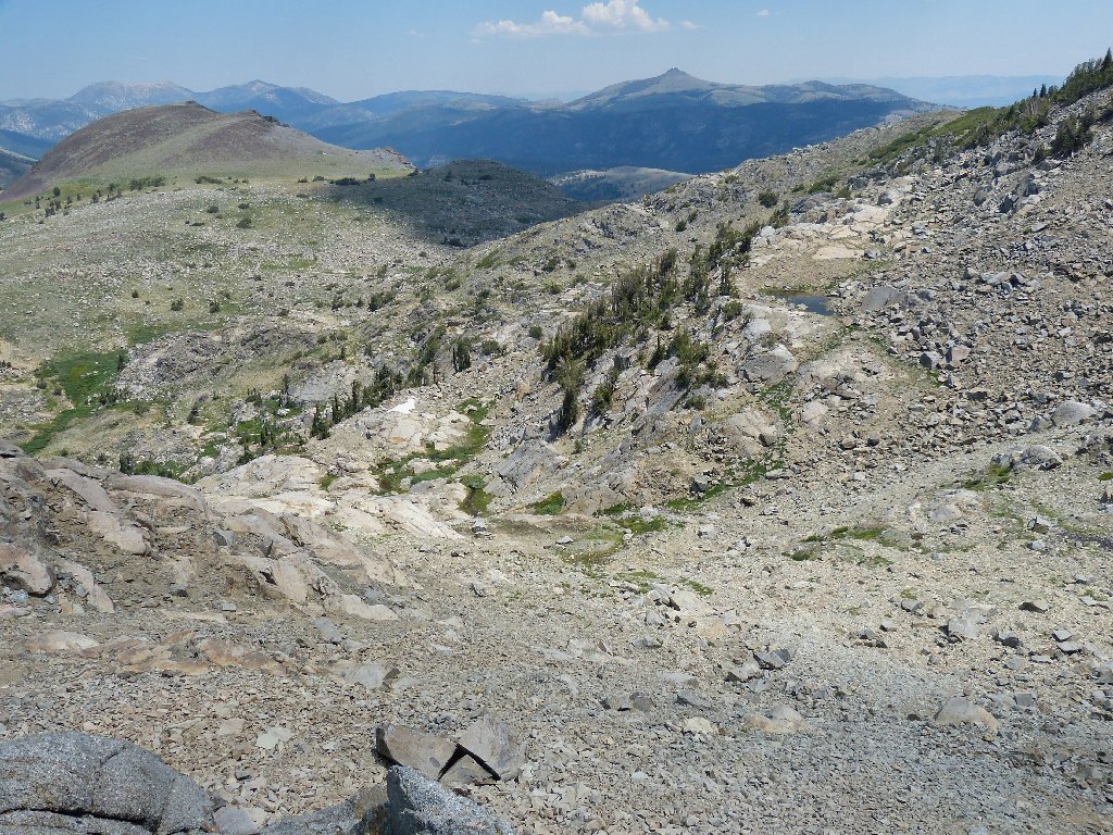
At the next high-point I can see a lot of stuff:
The trail to Round Top Lake
Freel Peak is 14 miles away
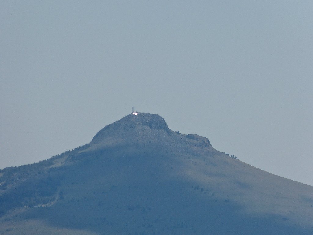
Reflction from the Hawkins Peak tower
Yet another hill to climb
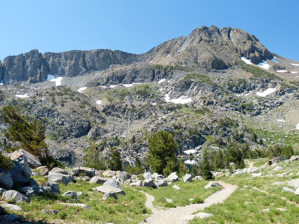
At what appears to be the elevation high-point of this trek is a marvelous
photo-op of Tarn #4 and Round Top.
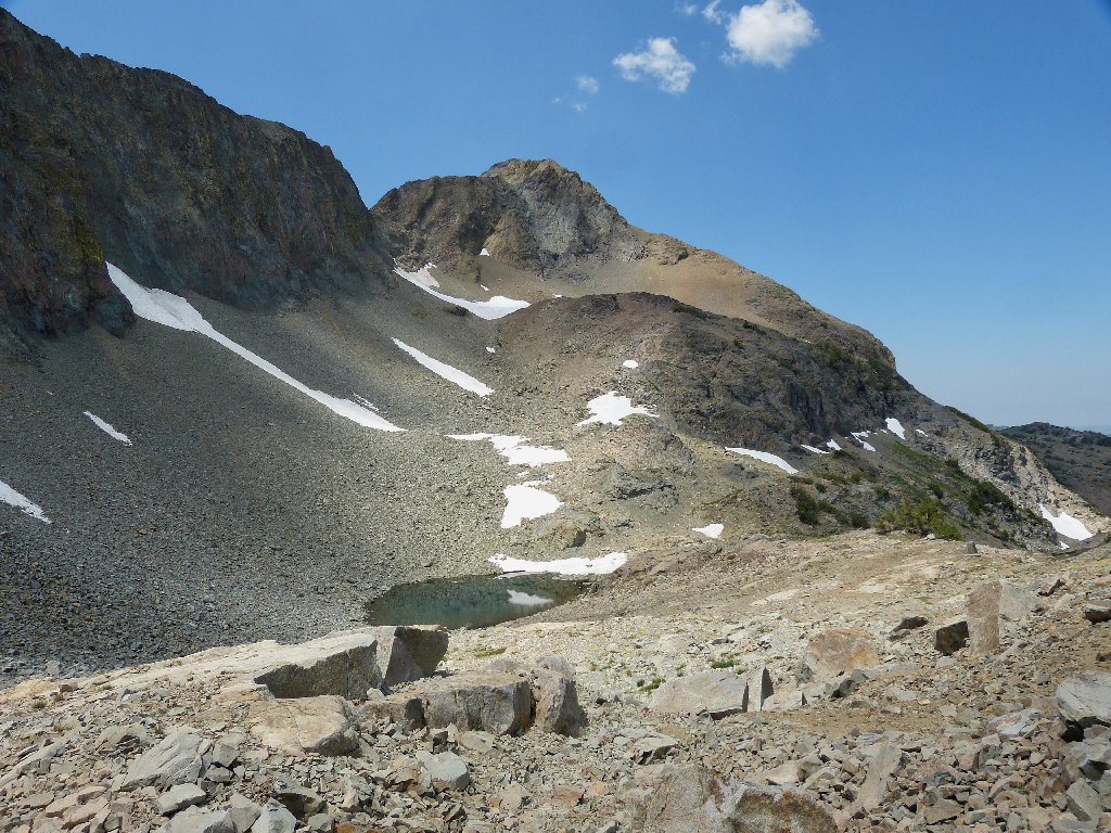
Great lighting
A shot in the opposite direction
I suppose that one might even scale the big mountain from here; however, I must concern myself with getting down, not up. Studies on Google Earth suggested that it might become a bit rough; the only question is whether a safe route will be available at all.
I must find a way down from here
Well, the next slope proves quite steep, but eminently doable. This is why I am wearing my strongest boots today.
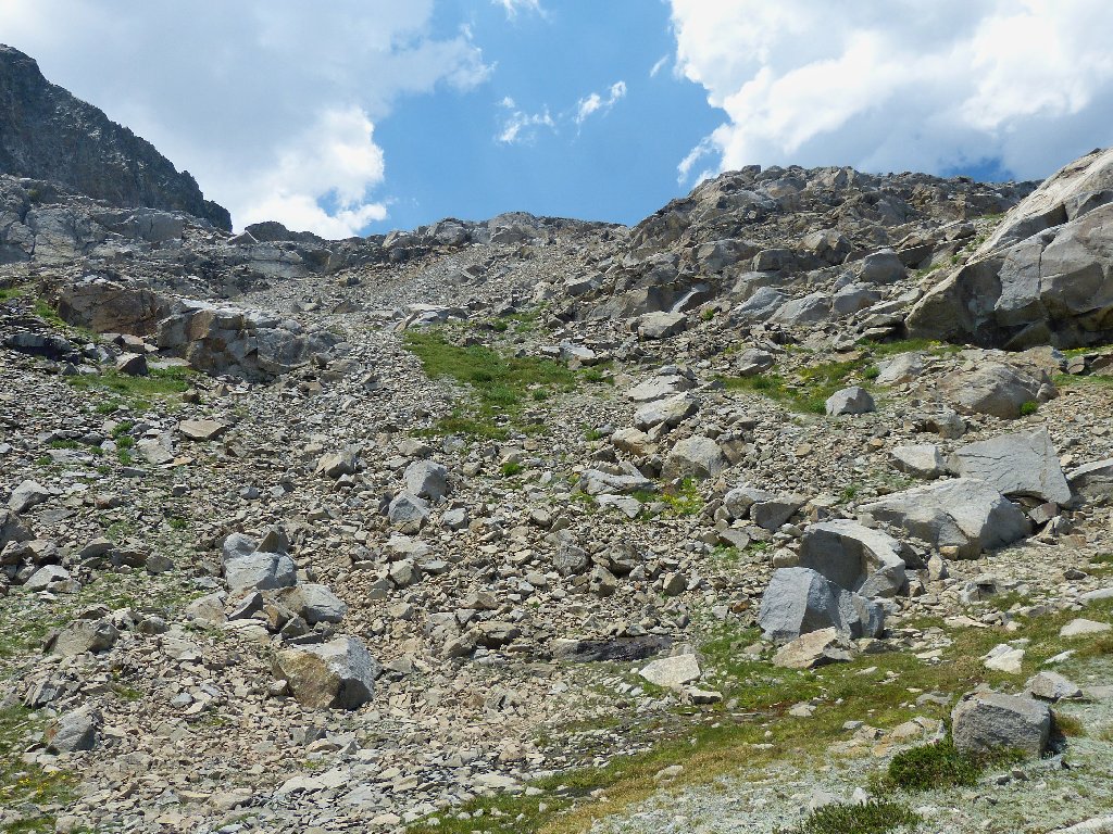
This photo doesn't do justice to the difficulty of a downhill
passage
Having a chance to relax and look around again, I don't have to look far:
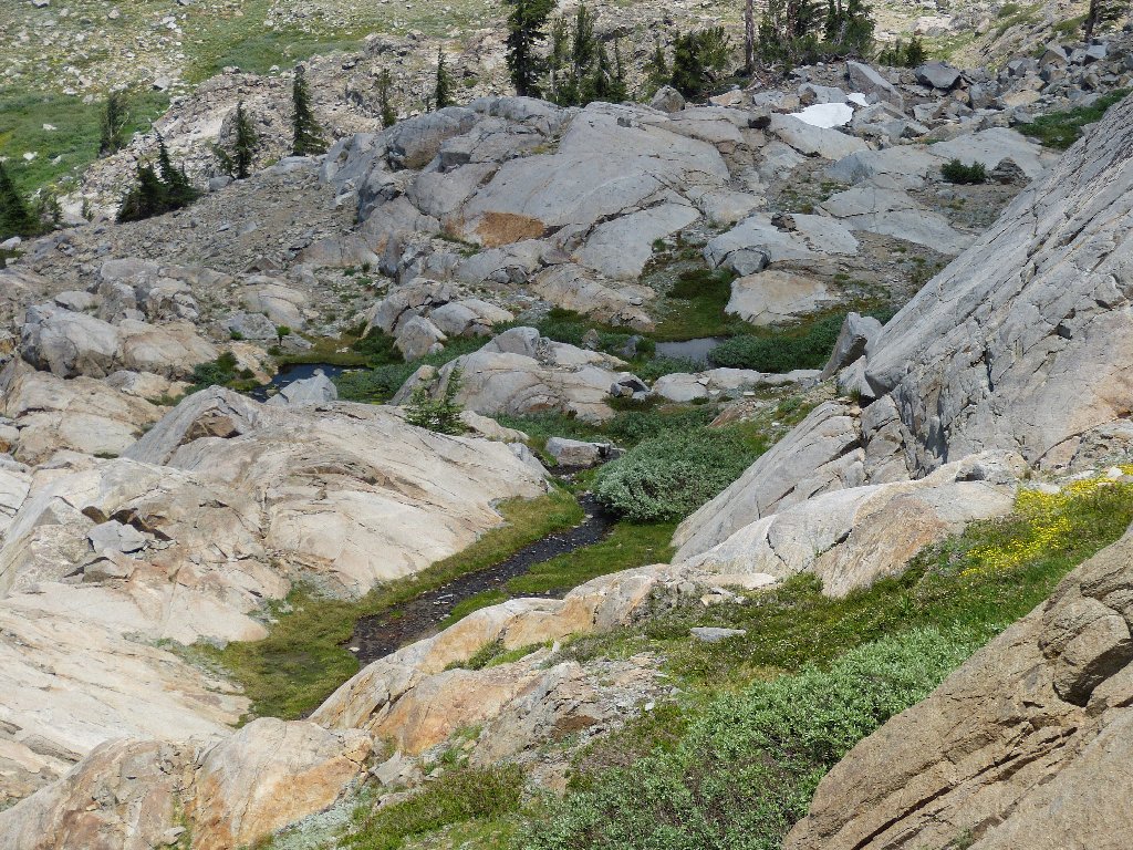
Granite dells
This place is delightful! It's even better than the first meadow. I would like to put it in my back yard.
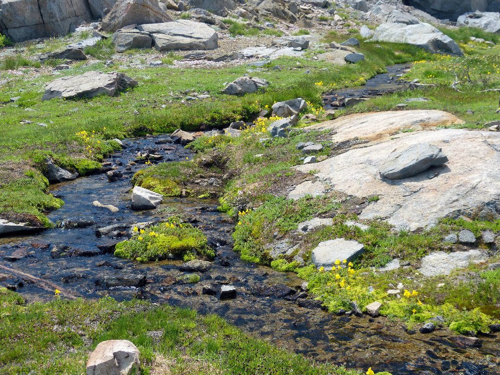
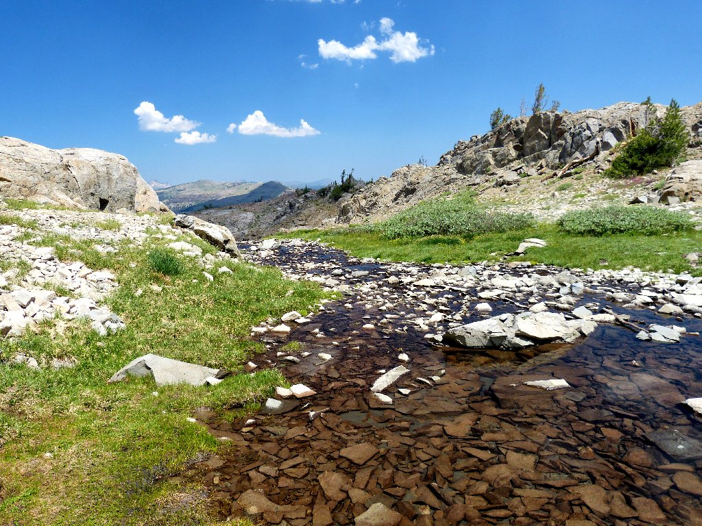
The stream becomes the trail for a while
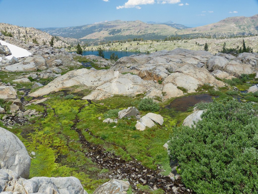
There are a dozen little ponds around here
Another big plus is that there are no mosquitos here anymore, despite the presence of all the water.
Farewell to my erstwhile scramble
Now it is time to look ahead; but first I must cower under a tree for a time, because some raindrops are beginning to fall.
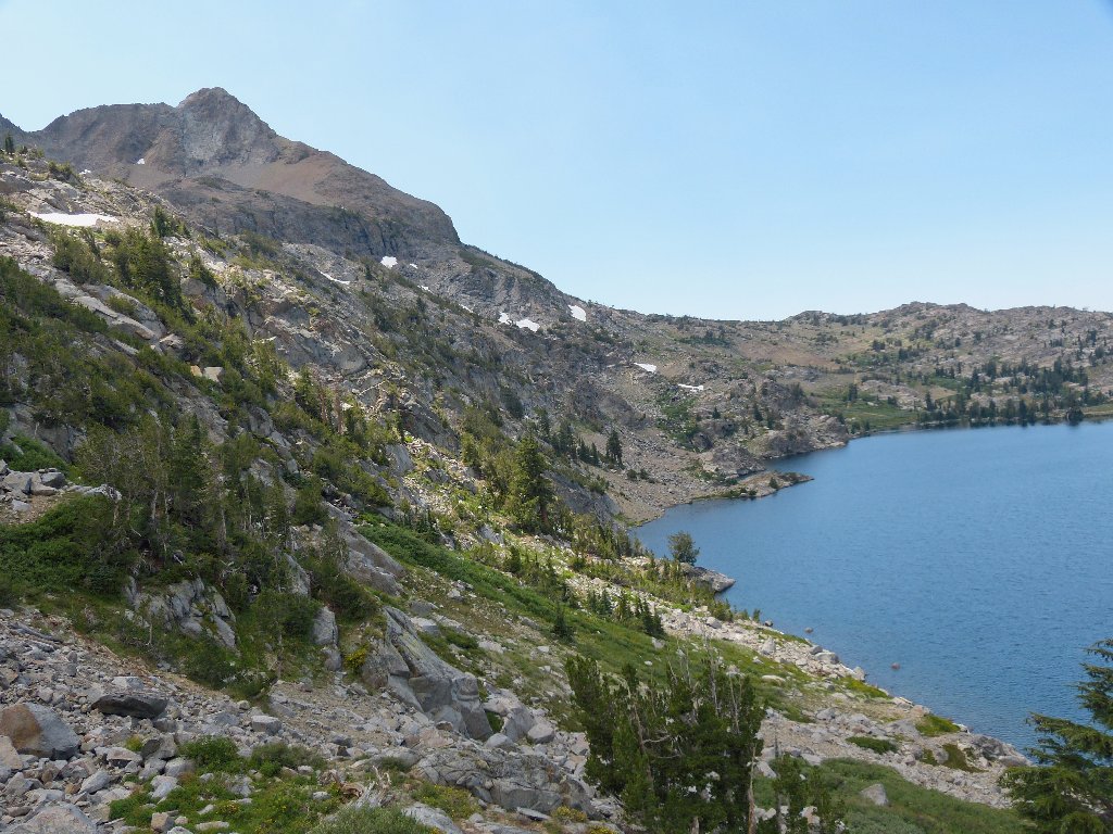
The less-visited eastern end of Winnemucca Lake
After fifteen minutes of studying bridge hands, I conclude that no downpour is forthcoming at this time. There seems to be a choice of routes; for some reason, I opt for the low road.
Should I go down here, or continue straight ahead and maintain elevation?
The sun is trying to come out
Now I discover what drew me down the hill:
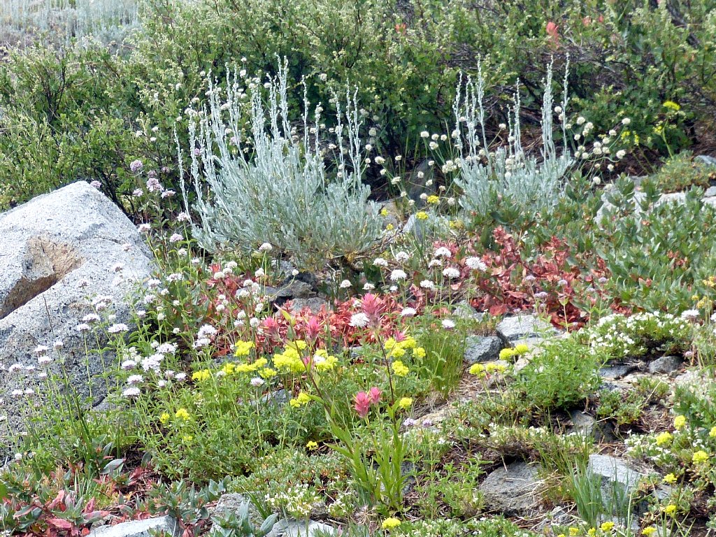
Just another incidence of semi-arid splendor
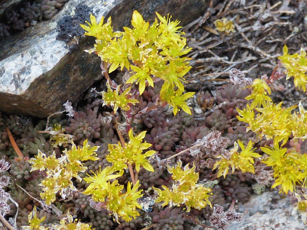
Lanceleaf Stonecrop
Elephant Heads
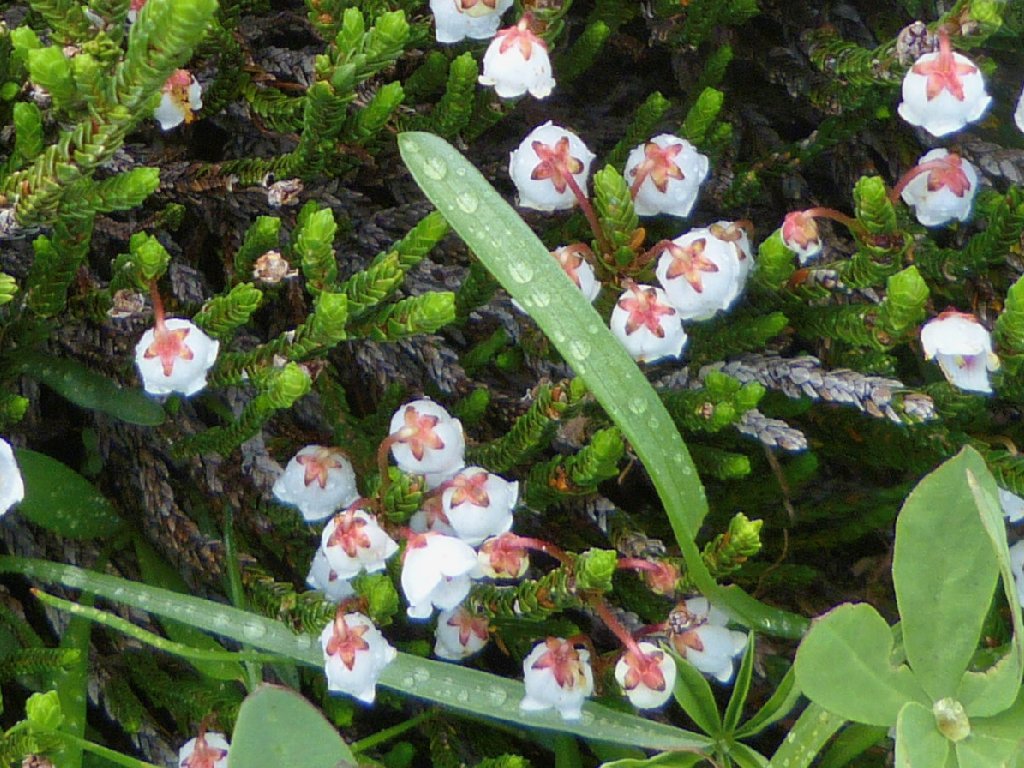
White Mountain Heather
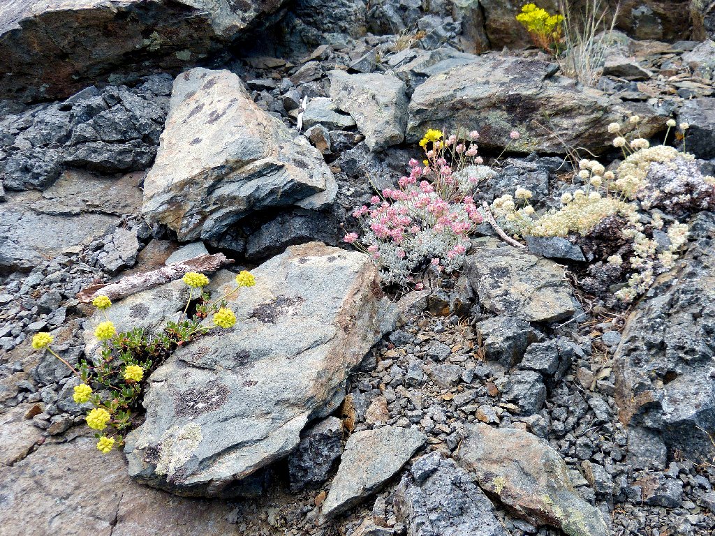
Three varieties of Buckwheat
This end of the lake is more verdant the the other side, where all the hikers are. Doubtless the few who bother to visit this spot are more than pleased with what they find.
An arrangement worthy of any gardener
Having gotten safely off the cliffs, I could head back to the west end of the lake and catch the trail; yet it should be shorter and more fun just to proceed directly toward the trailhead. It also means that a bit more climbing is in order.
Halfway up the hill a few more raindrops hit me, so I stash my pack under a rock. I attempt to stash myself as well, but the ants have something to say about that.
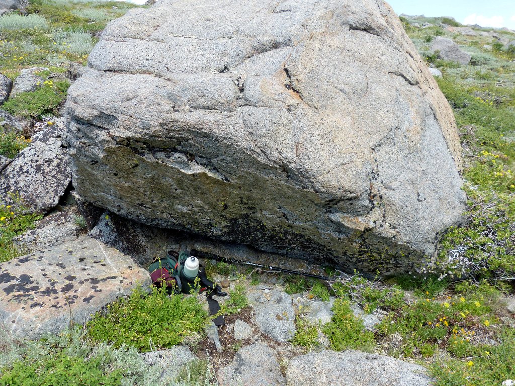
My hideout from the rain
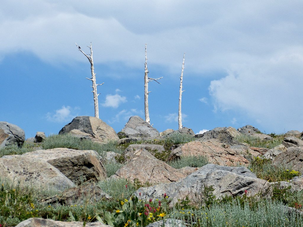
A familiar landmark
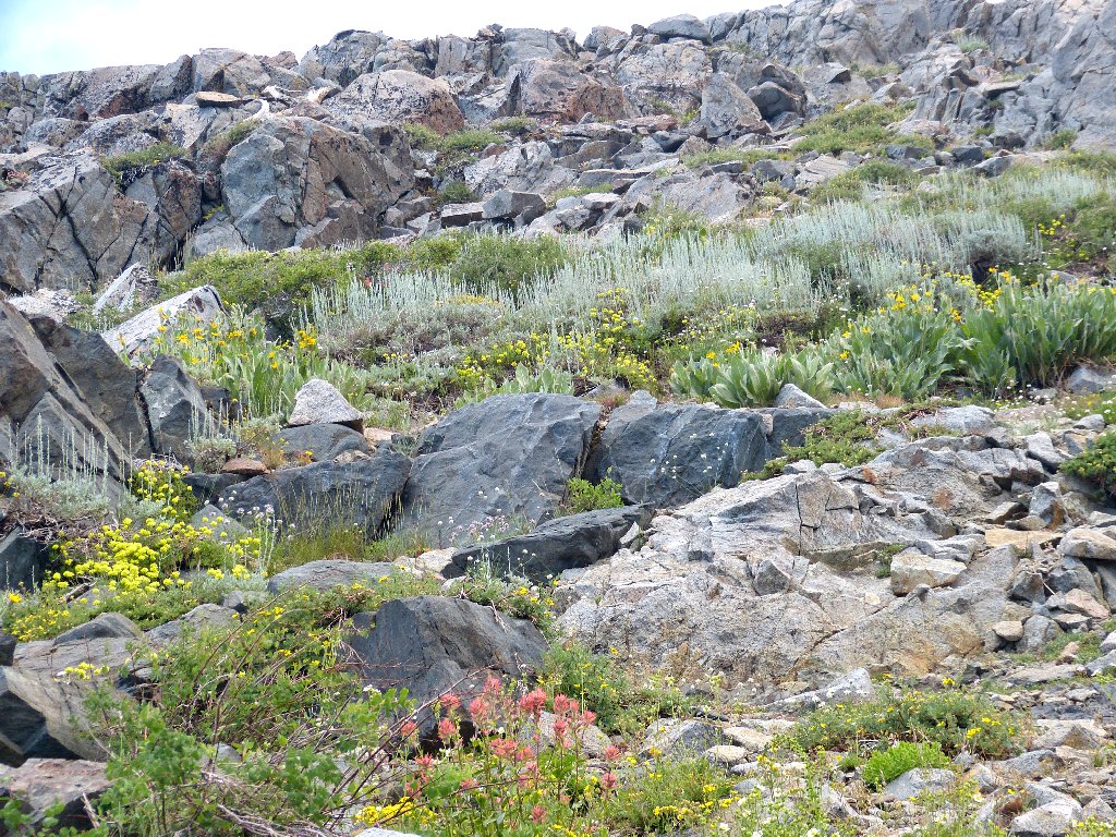
In any case, no storm materializes this time either; so I continue up through The Jumbles as I call them, to walk alongside the scree slope. As I have mentioned previously, this is the only talus field I know that actually is fun to negotiate, because it is full of grasses and flowers.
Tarns #3 and #2, to the north of Winnemucca Lake
Elephants Back
The main route is a quarter-mile away
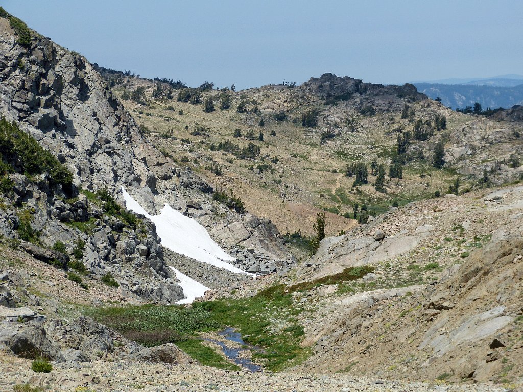
Rather than continue cross-country up to Frog Lake as usual, I slowly veer downhill, picking up the main trail just before reaching the junction with the PCT.
The final lap
With the air temperature up to 85° now, the last mile-plus is
nevertheless dispatched in short order, or at least it should have been.
With the parking lot in sight, I manage to twist an ankle on a tree root;
but that doesn't hold me back for long.
The watchful deer is still there
§: I cannot remember another off-trail excursion on which I was so
pleasantly surprised at the beauty of what I found. Only the prevailing
climatic conditions prevented this from being a perfect outing.
By all means, do this hike in mid-season, and only if there are patches of snow in evidence; otherwise, you might miss out on the flowers, the running water, and the verdant meadows. I recommend that the trek be undertaken in clockwise rotation (the reverse of my own walk); that way, the roughest sections will be negotiated uphill, which is easier on both mind and body. A complete loop could be made of this walk by utilizing the old but still serviceable trail from Frog Lake down to Vista Point and the highway.
| Scenery |  |
| Difficulty |  |
| Personality |  |
| Flowers |  |
| Adventure |  |
| Air Quality |  |
| Solitude | |
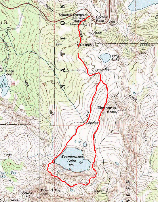
The route (counter-clockwise)
