Yosemite National Park
|
Devils Dance Floor Yosemite National Park |
July 11, 2013
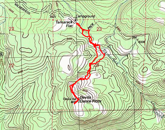
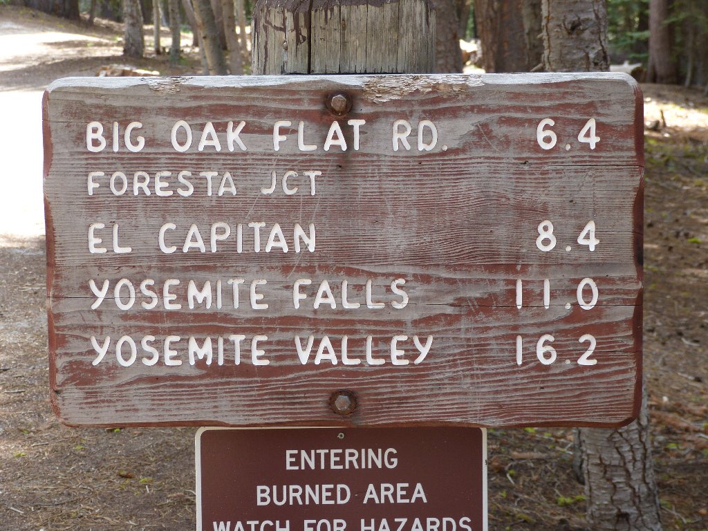
Having not anticipated a visit to this off-beat destination on this particular trip, at Tamarack Campground I must set up my laptop on the hood of the car and load the appropriate coordinates into my GPS. There will be no helpful signposts today.
This is not the way
This is the way
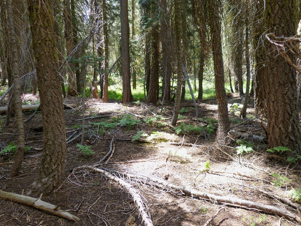
Although the map suggests that it might be a good idea to follow the official trail for a ways before turning off, my GPS complains that I am pointing the wrong way entirely; so I obediently turn right and head into the forest.
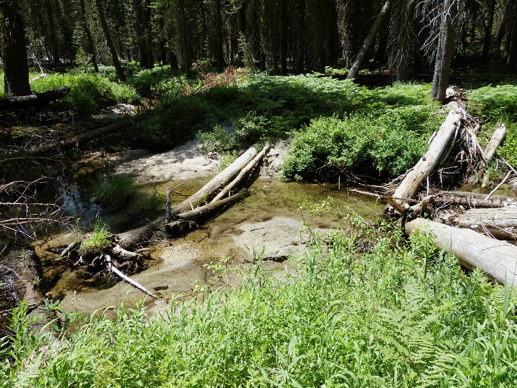
The first of three crossings
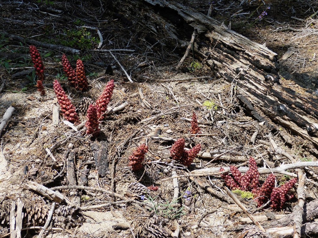
These snowplants won't last much longer
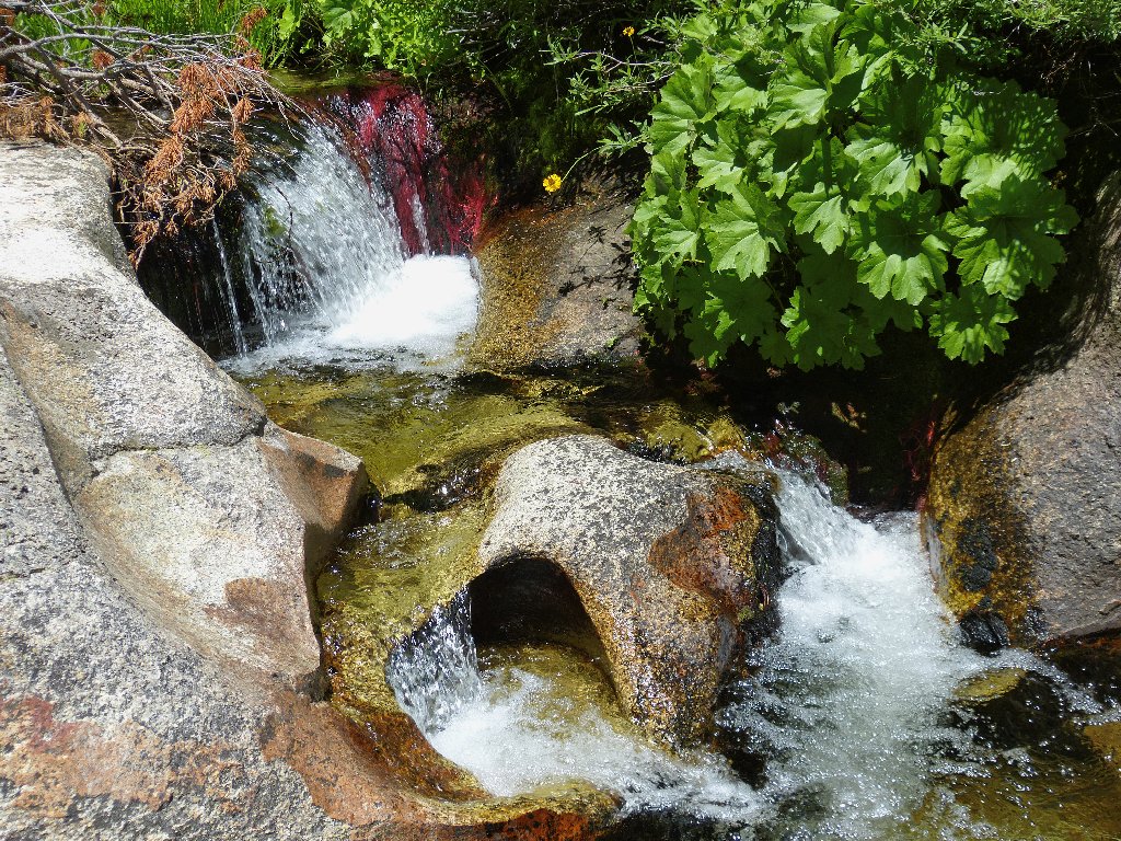
There is a semblance of a trail beside the creek; but trying to follow
it necessitates two crossings within five minutes. Then I encounter a
gorge. Clambering down inside it reveals a "gorge-ous"
series of little pools and falls:
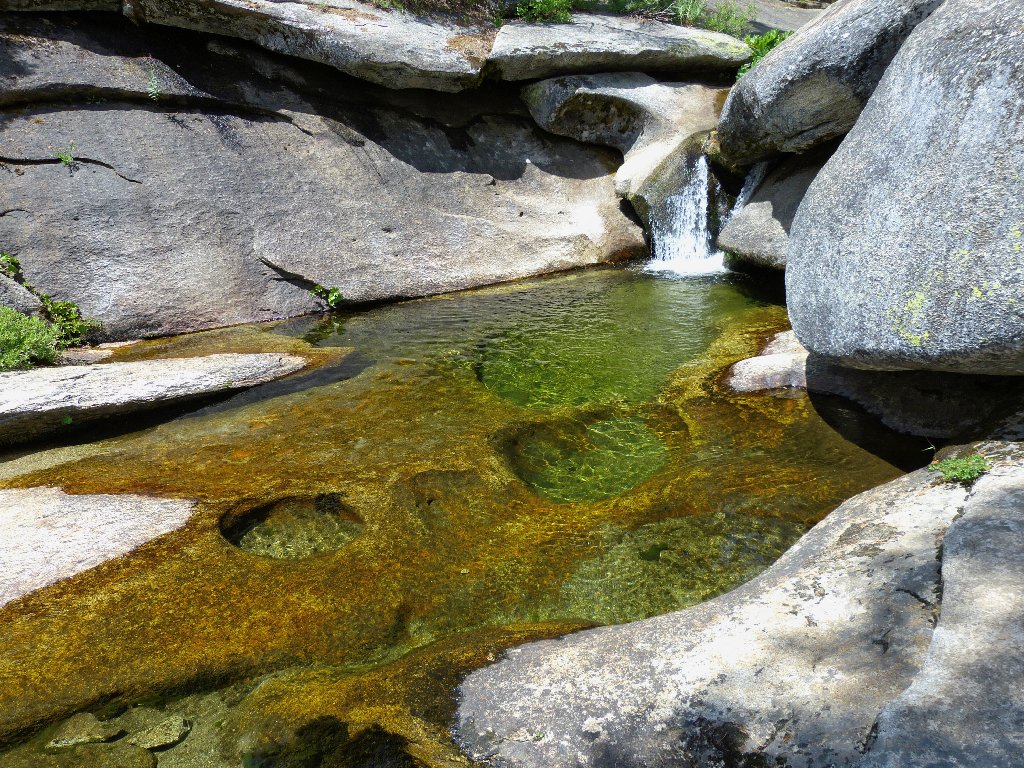
An unexpected treat
The water is a bit cold for swimming, but it could be done. It's pretty warm around here, and it will become more so as the summer progresses. Finding a spot to jump across, I continue to circle around a wall of rock on my right, climbing steadily.
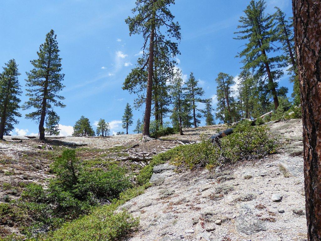
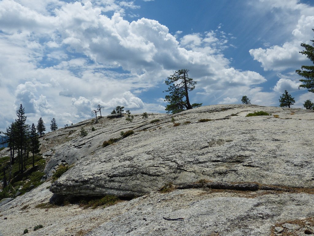
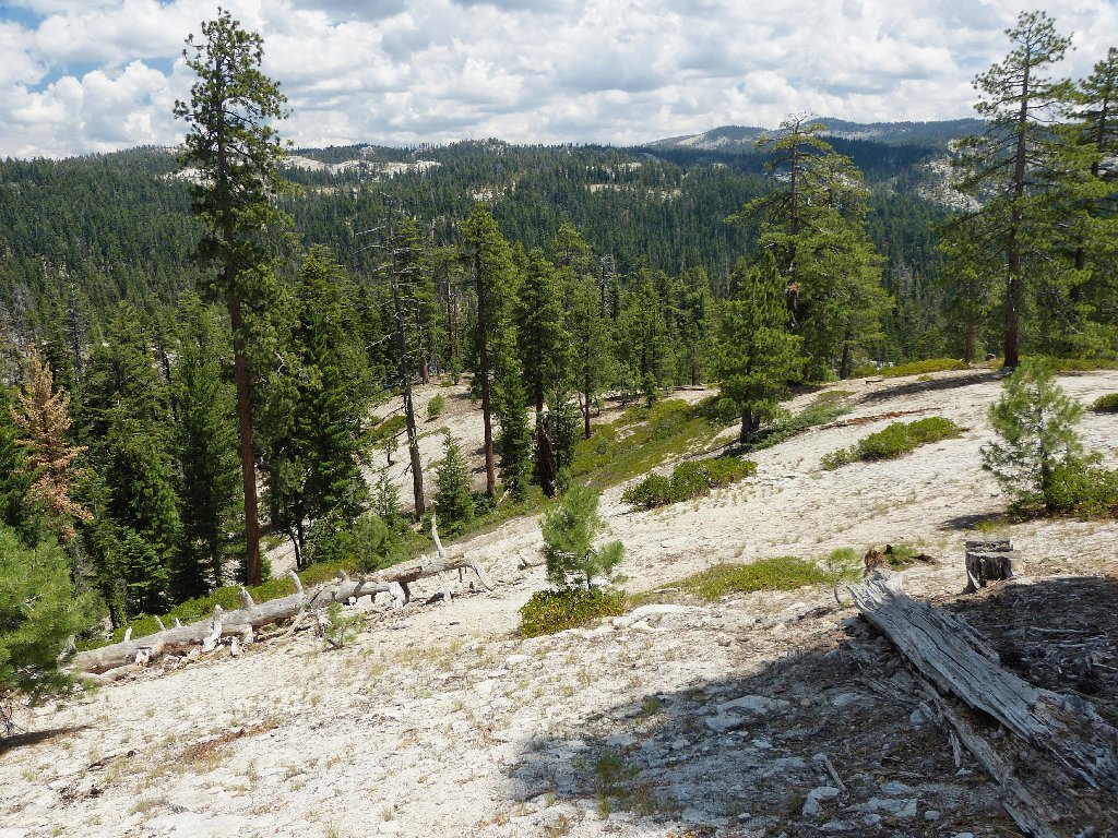
That looks like a hilltop, but it probably is not
At a surmount the current slope, I get a first view of what must be my
destination. The wave-like front wall is too steep to climb;
it looks as if it might be easiest to go around the giant boulder on my right.

An interesting slab
Instead of circling around the big rock, however, I opt to forge ahead up
through the manzanita-laden slot.
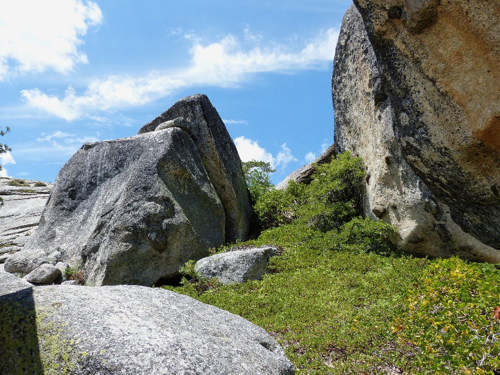
Why go around the bushes when I can go through them?
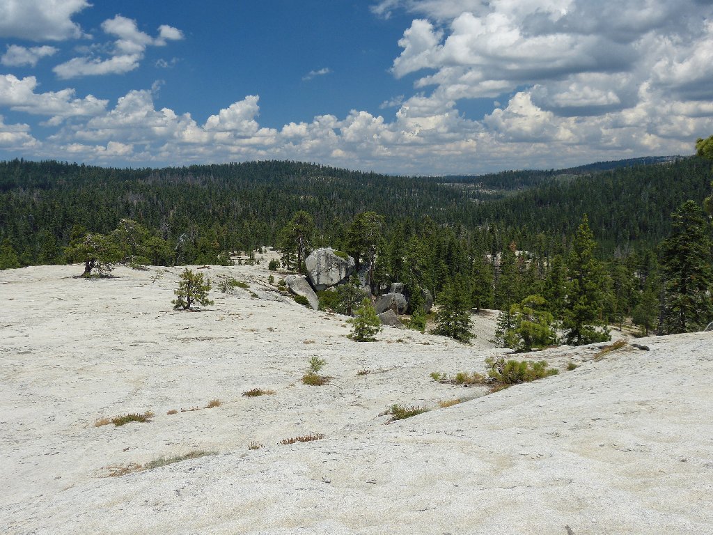
This choice of routes proves but a minor nuisance; soon I am atop the lower end of a huge granite slab.
Devils Dance Floor
Walking southward to the high-point provides views in every direction.
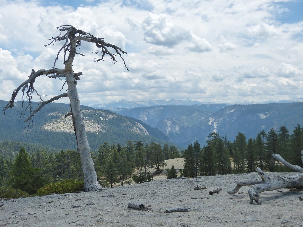
Yosemite Valley and the Clark Range
Although I surely would have found my way without benefit of electronic
assistance, it was much easier this way. I read online that a
part-time ranger once spent six hours trying to find her way back
to the campground from here.
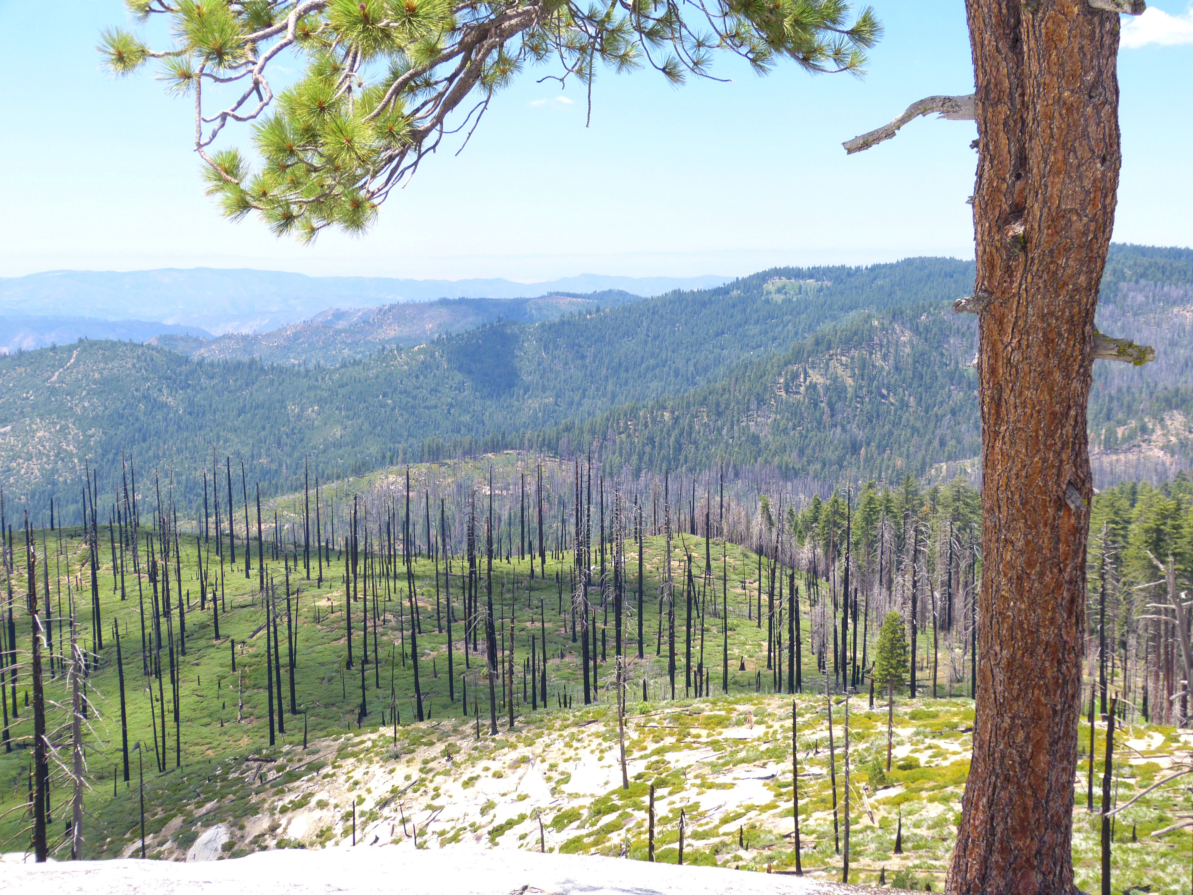
The Big Meadow fire of 2009 — a prescribed burn that went awry
The slab is riddled with potholes, which would be really pretty were they full of water. This place reminds me of Big Bald Rock near Oroville.
Looking north down the slab
The big arrow on my GPS sends me back in the the same from whence I came. As I start back — this time on the other side of the giant boulder, I do encounter a lightly used trail.
Starting down
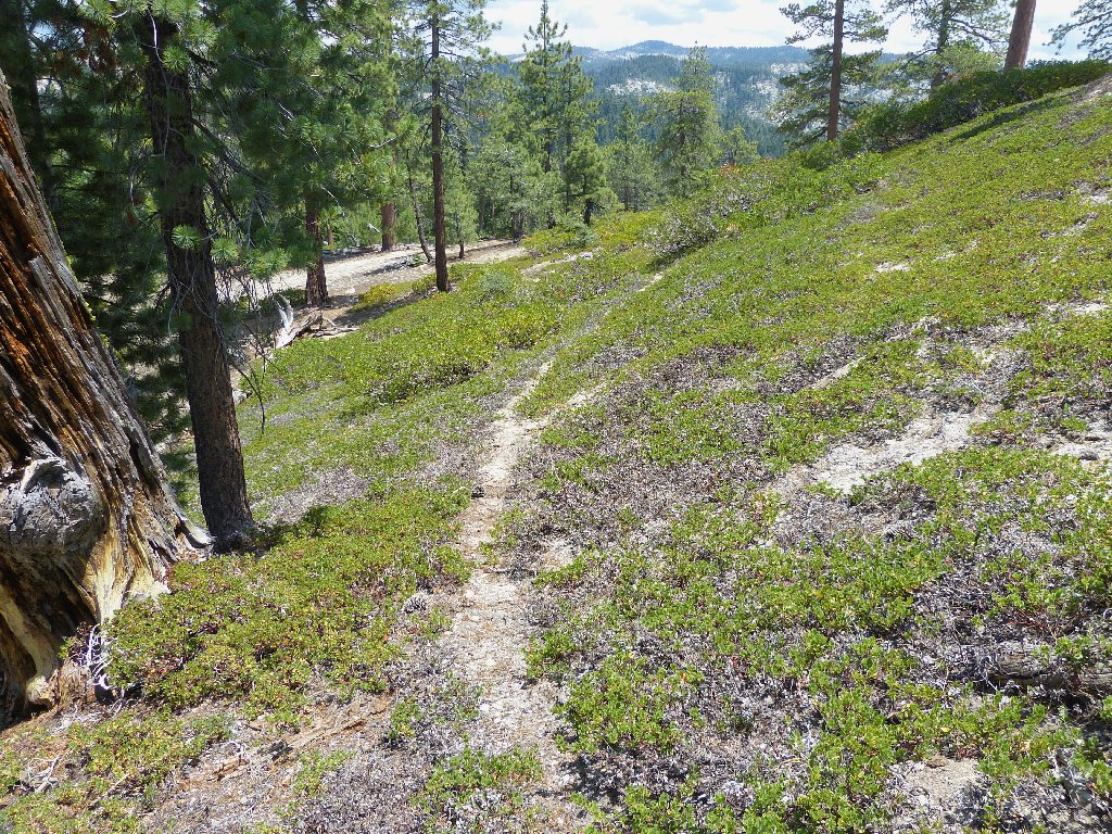
Others do come here occasionally
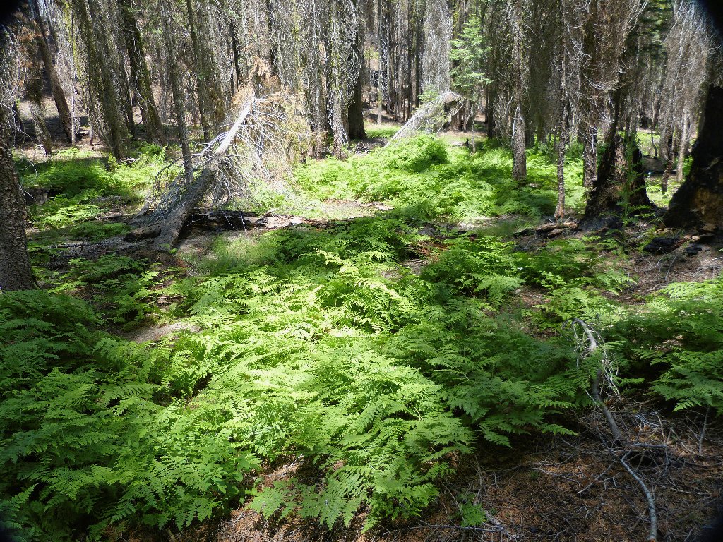
Trying to avoid trampling the ferns
This time, I intentionally intercept the creek somewhat upstream from the previous crossing, finding some new and interesting things.
Tamarack Creek
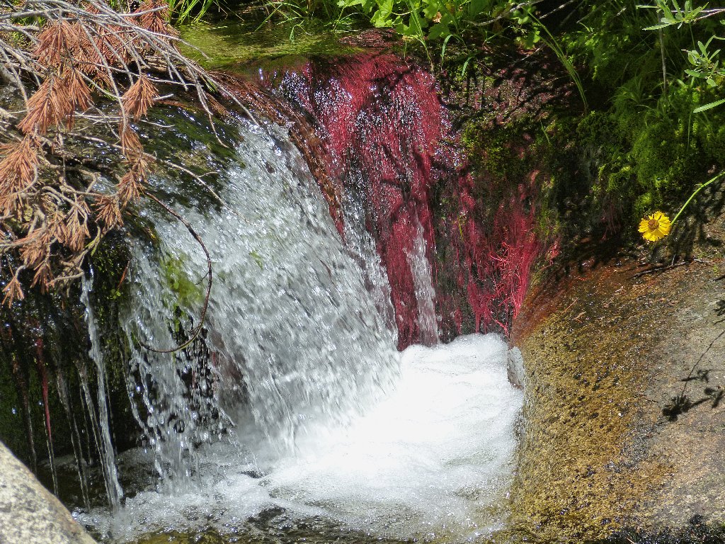
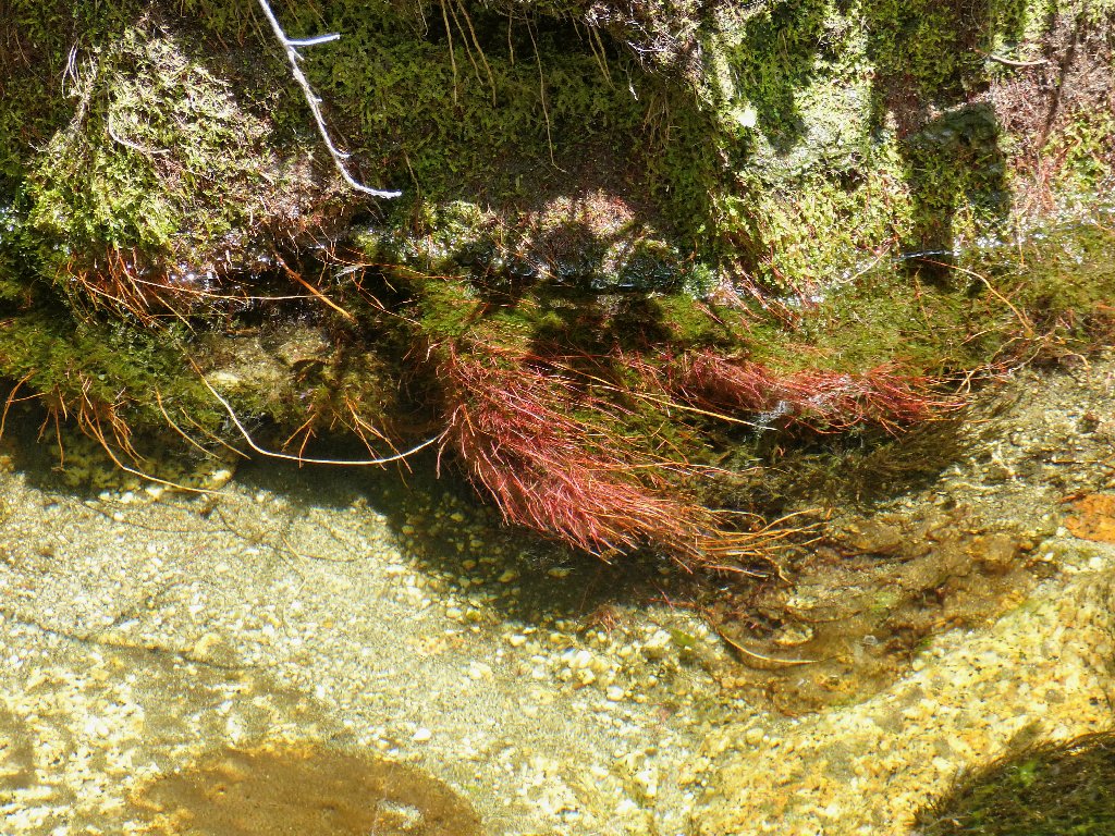
That's the same red stuff that I saw over on the Tuolumne
River near Glen Aulin — Spiked Water Milfoil
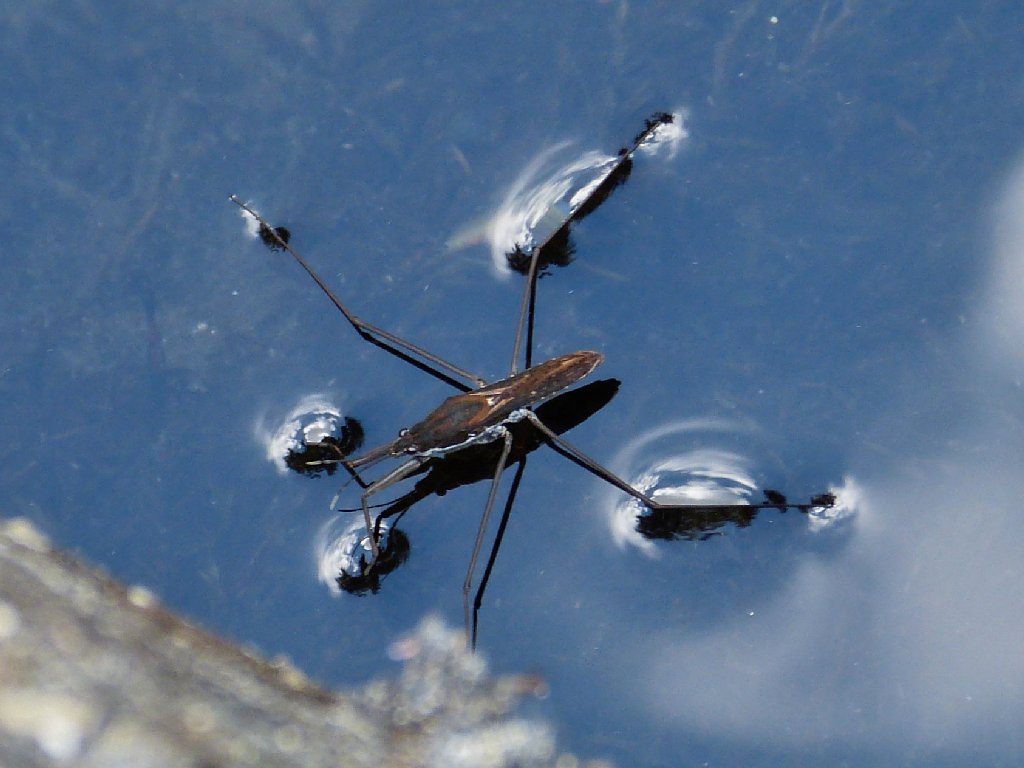
The only wildlife I would see today
Staying near the creek gets me back to the trailhead in short order. As I emerge from the deep forest into the campground, a young European couple has just arrived in the park. Apparently judging by my walking stick that I am a hiker, they grill me for information. I offer what I hope will be good suggestions for their limited stay.
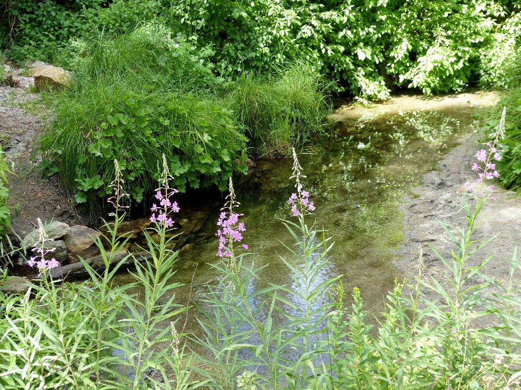
Fireweed near the campground
§: This was an enjoyable cross-country outing, albeit a bit hot,
and the Tamarack Creek swimming hole was the best part. And I actually
never was more than a mile from the campground.
| Scenery |  |
| Difficulty |  |
| Personality | |
| Adventure |  |
| Solitude |  |