
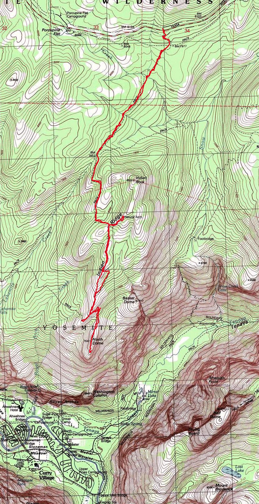
Yosemite National Park
|
North Dome Yosemite National Park |
July 10, 2013
Getting up at 5 o'clock enables me to reach today's trailhead at
8:30, for my first trek of the year to Yosemite's higher elevations.
The route begins on a formerly paved road that provided access to a primitive camping area until 1976.
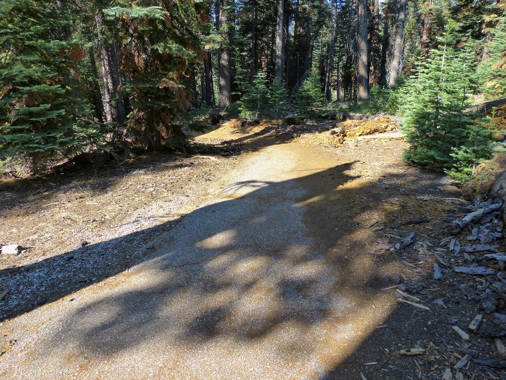
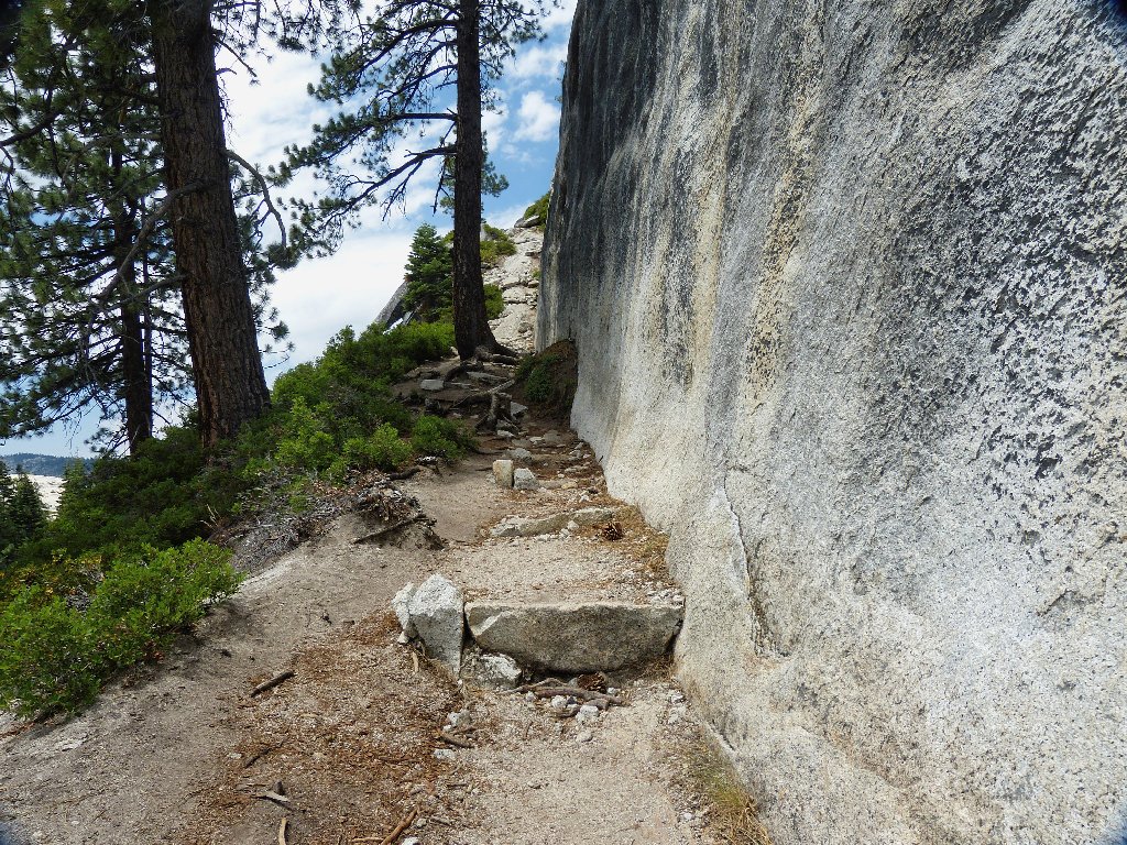
Start of the trail

End of the roadway
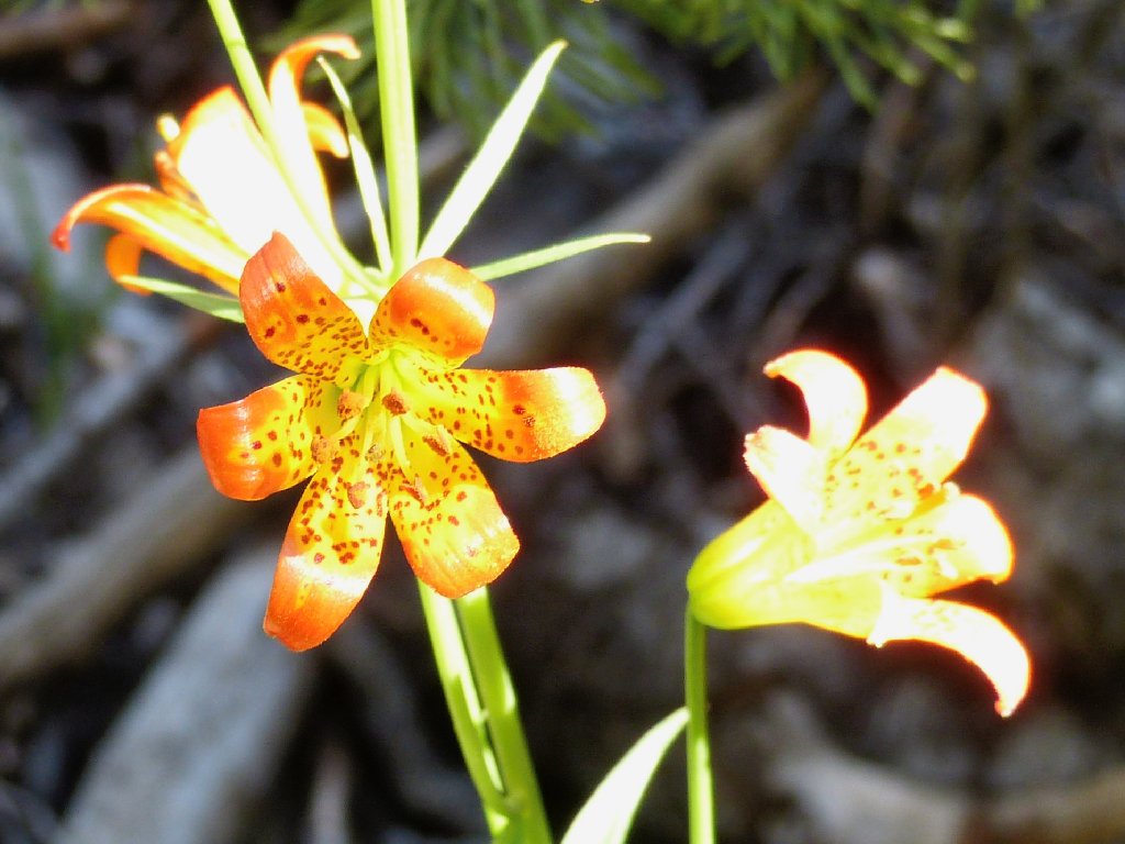
Alpine Lilies
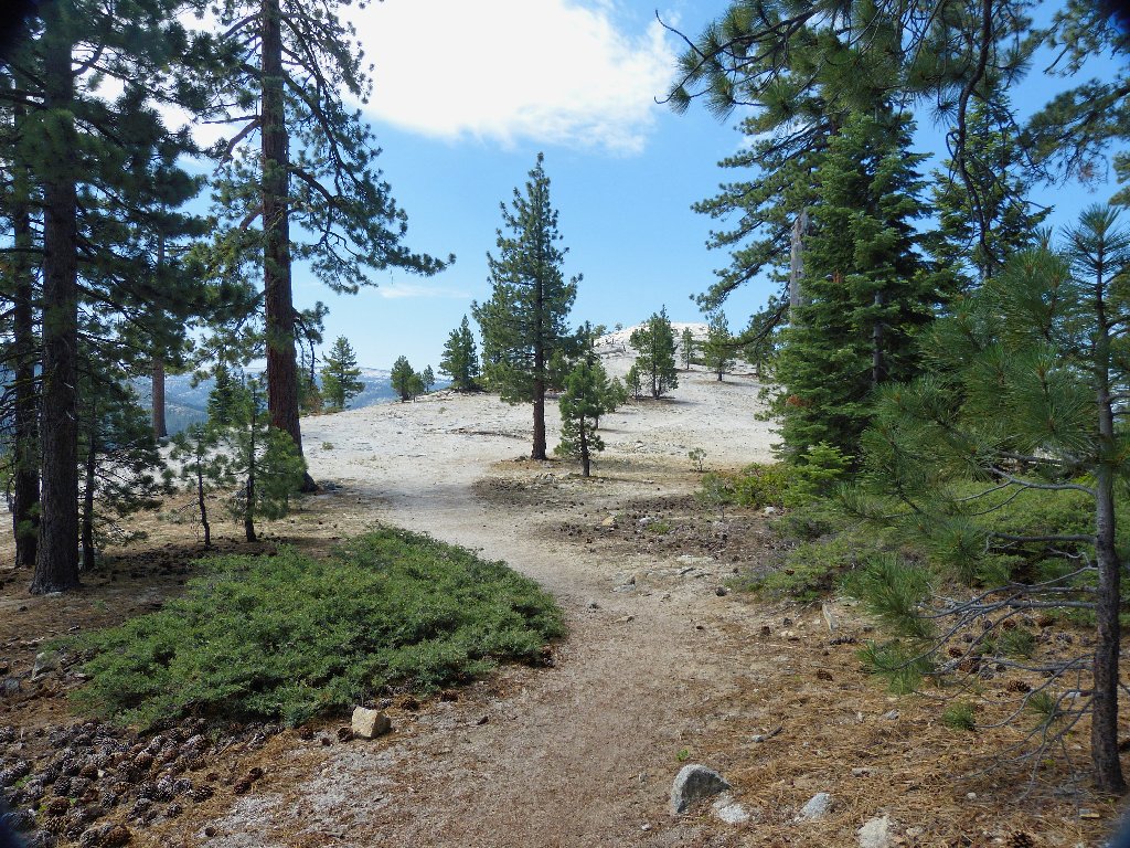
The first couple of miles are a slog through the forest and over two small streams, with no views whatever. This was expected.
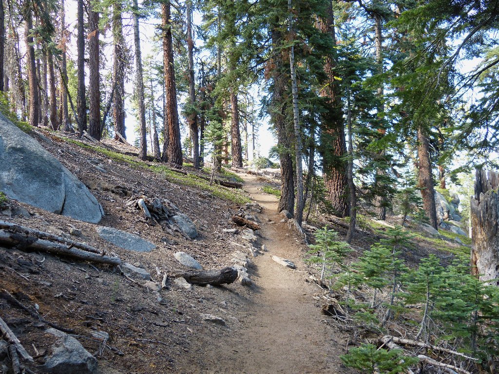
Nothing to see yet
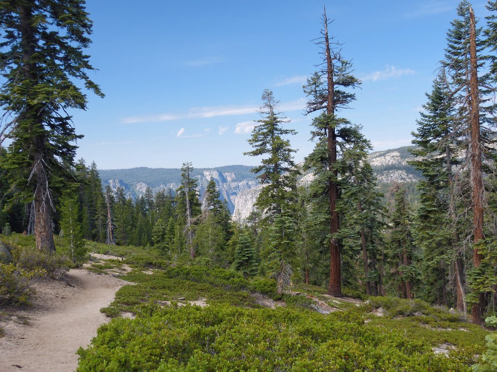
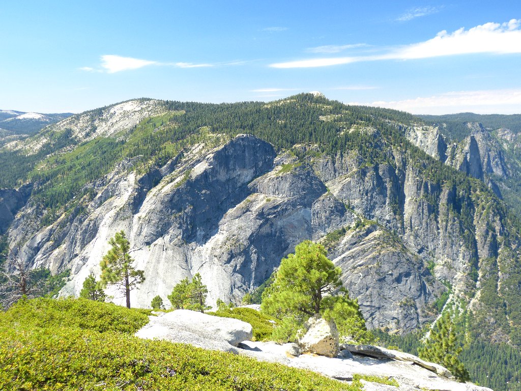
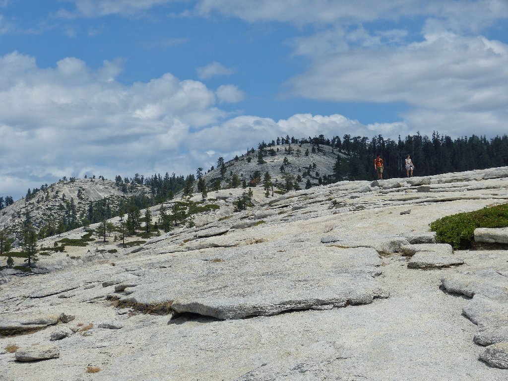
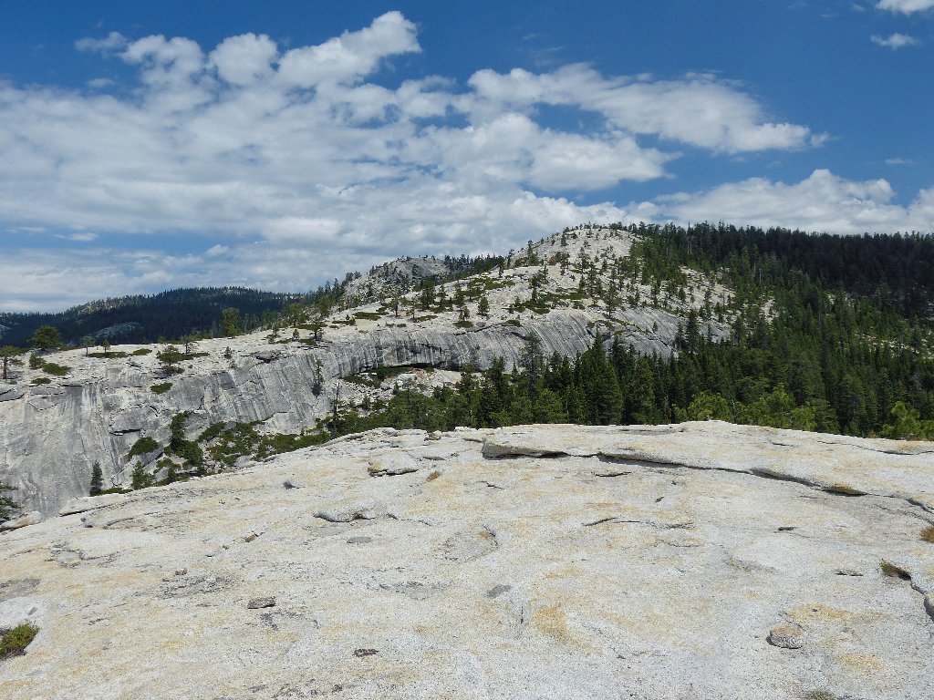
First view of the cliffs of Lower Yosemite Valley
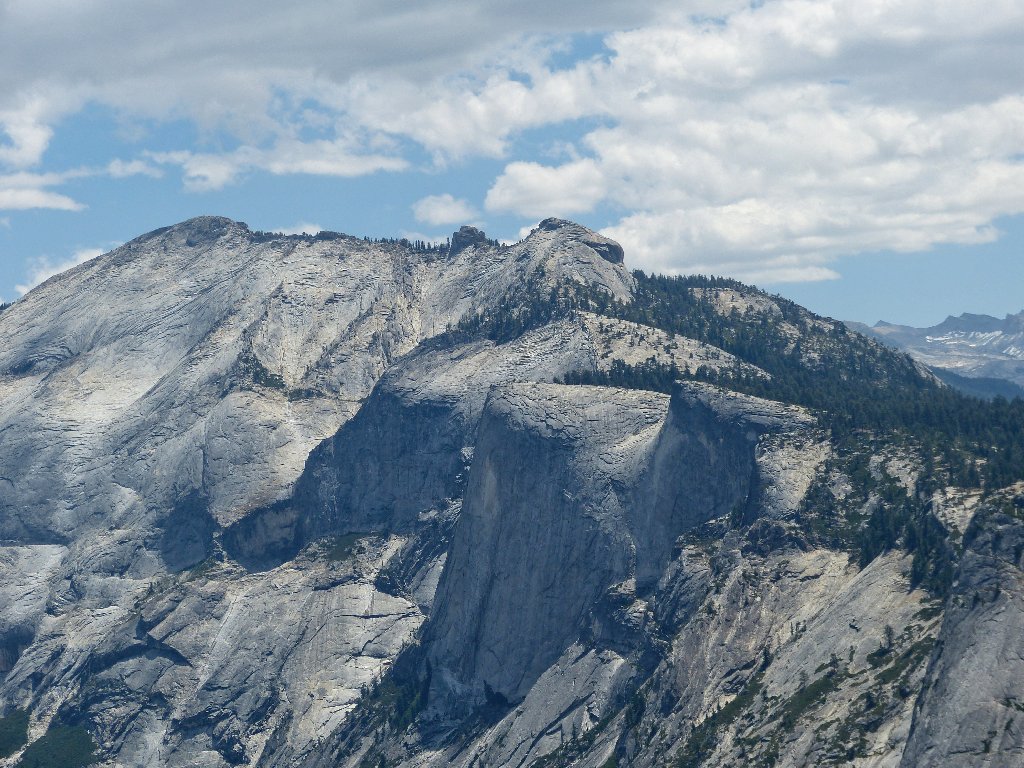
Finally the trail ranges high enough to provide some real scenery. There's Half Dome in front, and Mount Starr King in the distance.
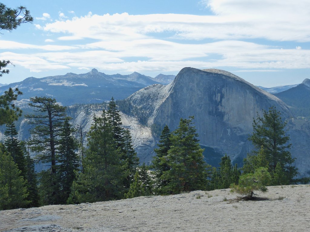
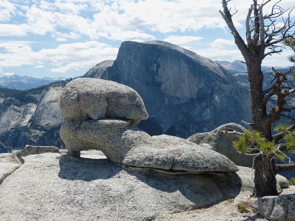
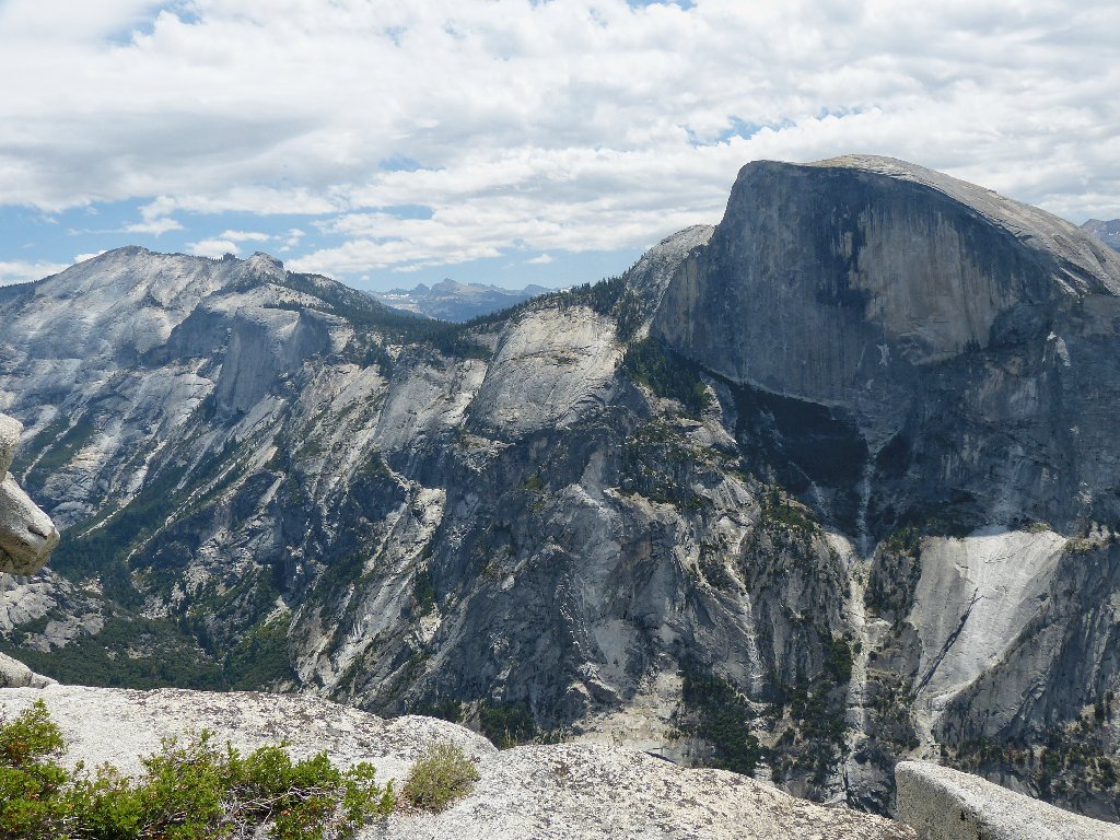
Not the rock's most flattering angle
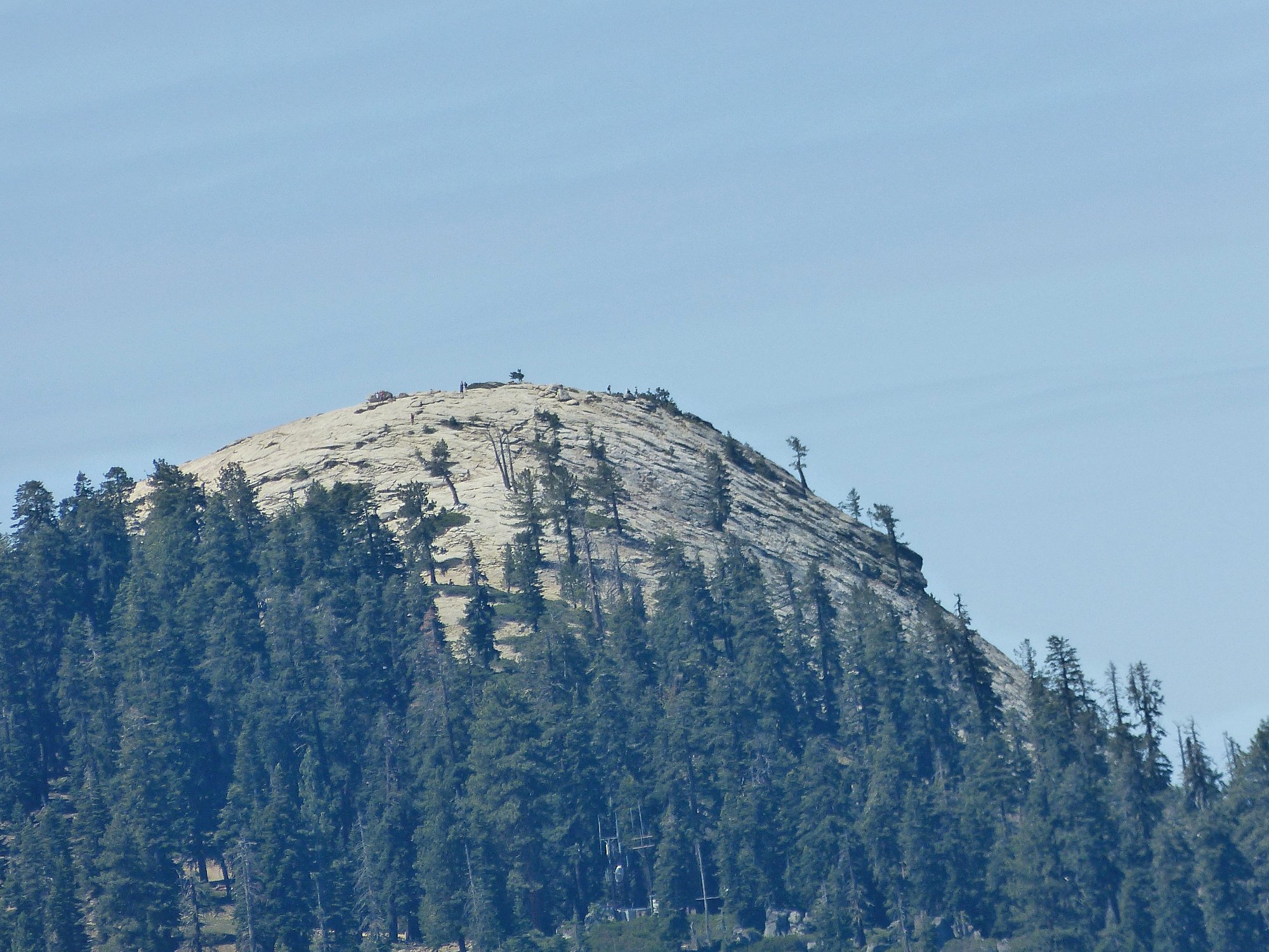
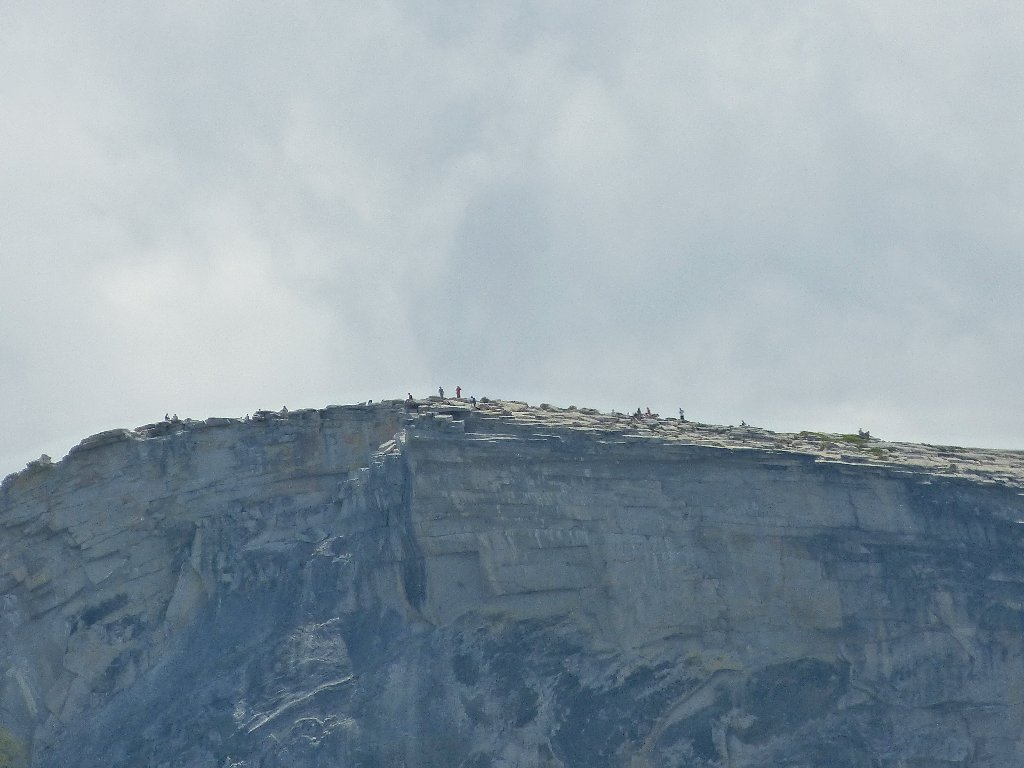
Naturally, anytime I get close to Half Dome, I try to photograph the activity over there. Because the lighting is decent and the subjects are less than three miles away, today's results should be better than most.
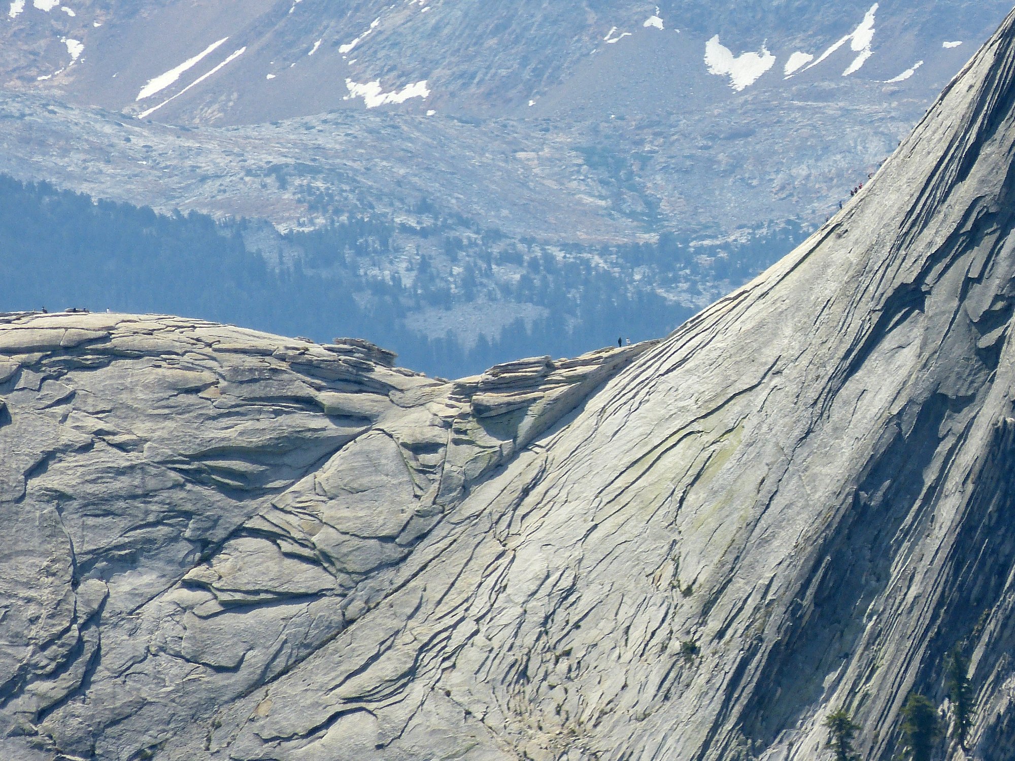
Hikers are atop the Subdome, at the 'last chance to chicken out' spot, and on
the cables themselves ⇔
My present location is not the destination, however; North Dome lies well
ahead, basking in the come-and-go sunlight.
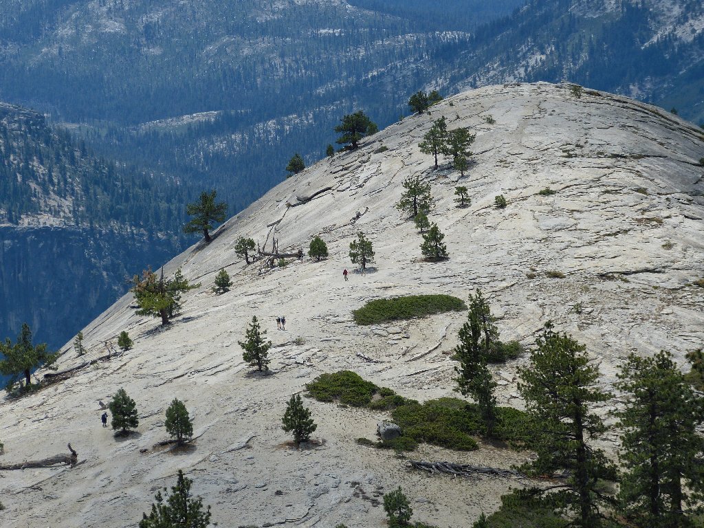
Still half a mile to go
I make a little mistake here. The signpost for North Dome had fallen down and now is propped up against a tree, leaving some ambiguity as to where it had been pointing. I fall from grace and turn westward; after a few minutes I must reverse my steps when nothing good happens in that direction.
The way off this cliff is toward the east
After descending steeply down the side of the rock face, I should have an easy time now.
It looks like a cakewalk from here
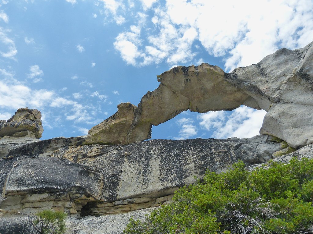
Made it. Although a visit to an arch happens to be in today's itinerary, I had not expected to find one here atop the dome! The Park Service acknowledges only two arches in the park, and one is under water. I know that over at Arches National Park, the opening must be at least three feet wide in one direction to qualify as an official arch; perhaps the same standard is in vogue here.
I don't care, however. This is an arch by any dictionary definition, and it deserves a name:
I dub thee Old Shoe Arch
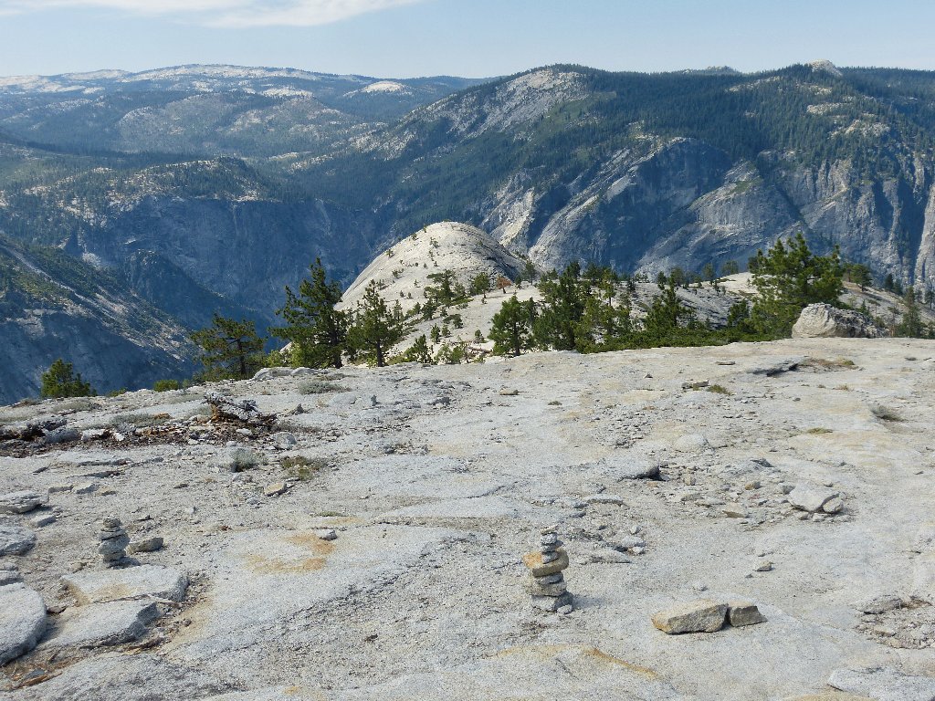
The park's highest peak is back there
There are other views as well:
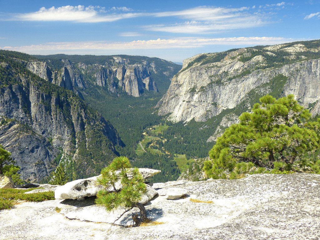
El Capitan overlooks Yosemite Valley
Glacier Point and Sentinel Dome on top
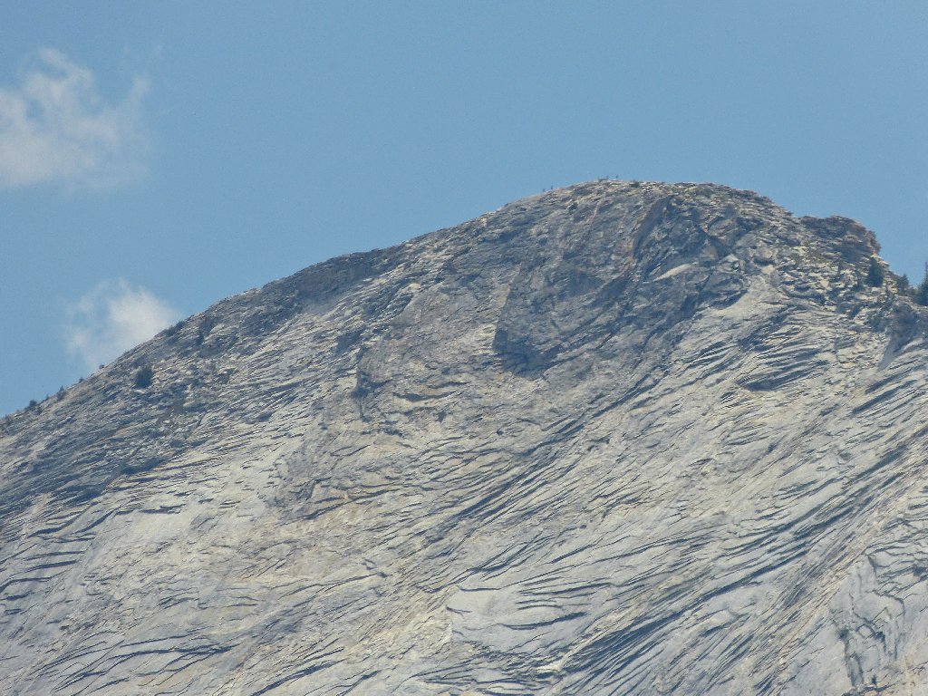
Proceeding as far down the south slope as seems prudent, I finally stop right at the edge of a cliff overlooking Tenaya Canyon, doff my boots, and munch some gorp. I see that many hikers have scaled Sentinel Dome across the valley, which might well be the finest viewpoint in the area.
Can you spot the person sitting in the shade of a tree? ⇔
Next, I power up my cell phone, and it works! The availability of service in the park always is problematical, and Verizon has gone out of its way to cripple its prepaid accounts; so I am astounded to hear my sweetie answer the call.
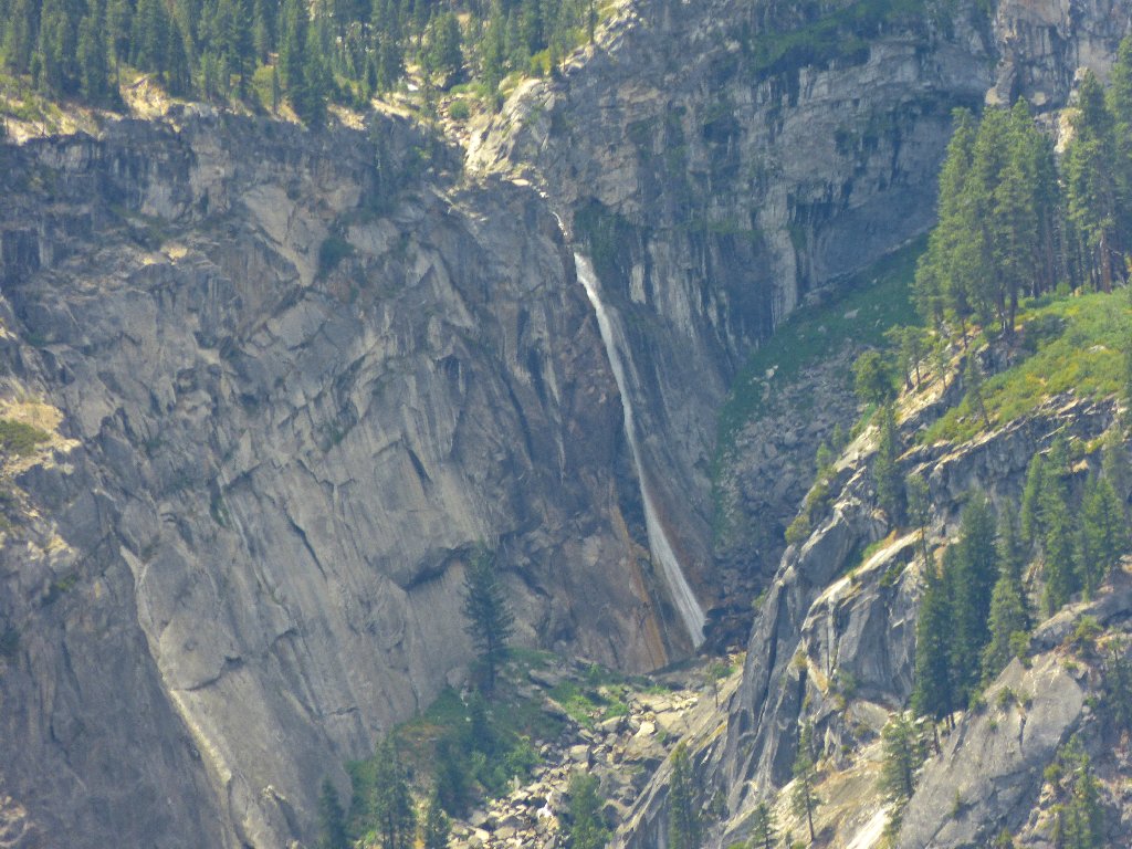
Illilouette Fall, 370', is just over 3 miles away
Clouds Rest
I count 16 hikers up there ⇔
Now I must do my literary duty and reiterate that the Quarter Domes and the Diving Board are not located where countless bloggers erroneously claim they are. Oddly enough, those formations are situated right where every map shows them to be.
The two Quarter Domes are way over there
The knife-edged Diving Board is not part of Half Dome
I would like to visit the Diving Board sometime, but peering over its edge and straight down that cliff surely would be scary as hell. On top of that, reaching the requisite vantage point necessitates a delicate exposed traverse across an angled slab on a thin crack in the rock, where a slip could be fatal.
Suckers!
I still have not encountered another human on this trek, and I would have taken bets against that. As soon as I pack up to leave, however, folks begin to appear. By the time I am off the dome, I have greeted fourteen people.
Starting back
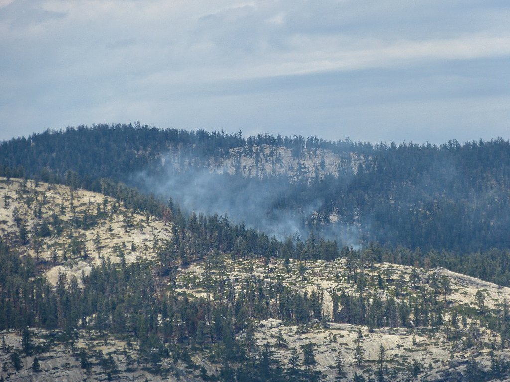
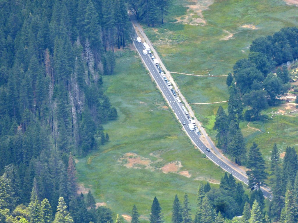
There's a fire to the west, near the highway

Basket Dome doesn't get much attention
Looking up Tenaya Canyon
Been there, done that
There's that big cliff again
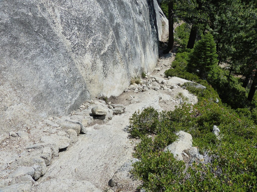
This section of trail is much easier going up, because the footing was somewhat treacherous when coming down.
Up, up, and away
Looking back
Looking ahead
It so happens that the official trail does not run straight up the slab, but skirts around to the right. This should make for an easier ascent, and I'm always in favor of that; but because of the extra distance involved, it might not have been worth the trouble.
Just up the way is a junction leading to Indian Rock. Along that route
is another attraction — the single aforementioned arch that is
officially recognized. The topo map denotes it simply as Natural Arch,
but of course that never was intended as an actual name. It is time that the
formation was given one.
Indian Ridge Arch, east side
The middle of the span is only about 18 inches thick. The unlikely formation next to it is pretty interesting as well.
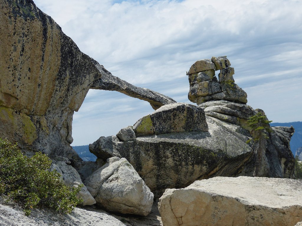
Indian Ridge Arch, west side
Here's the bigger picture:
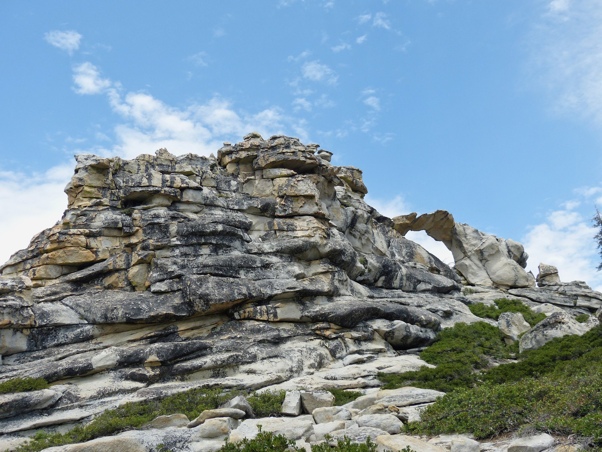
This is why I go hiking ⇔
I opt to forgo a visit to Indian Rock itself, for I have seen enough. After refilling my depleted water supply at the first opportunity, I scamper back to the trailhead. A minor inconvenience is that the last mile is entirely uphill.
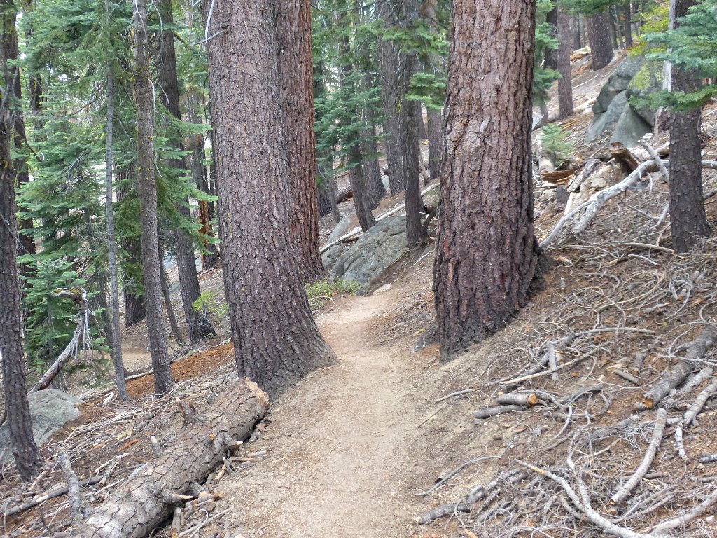
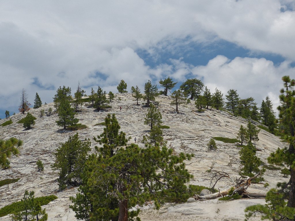
Tall pines everywhere
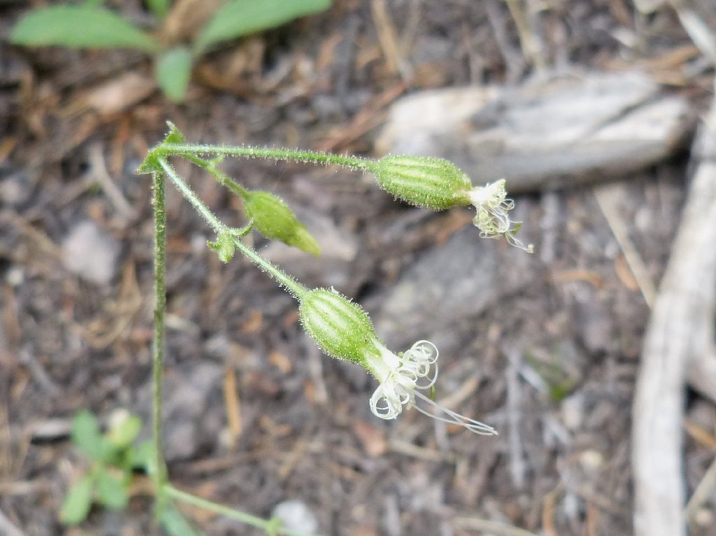
Lemmon's Catchfly
§: This hike exceeded expectations. Viewing all the
well-known formations from a new perspective was quite something;
and it was fun photographing hikers on no fewer than three other mountain
tops. Should I return here, I will venture over to Basket Dome as well.
When taking this walk, check out Old Shoe Arch. Be sure not
to pass up a visit to the delightful Indian Ridge Arch, which is but a
ten-minute detour from the main trail. Don't confuse it with Indian
Rock itself, as certain writers have.
| Scenery |  |
| Difficulty |  |
| Personality | |
| Solitude |  |

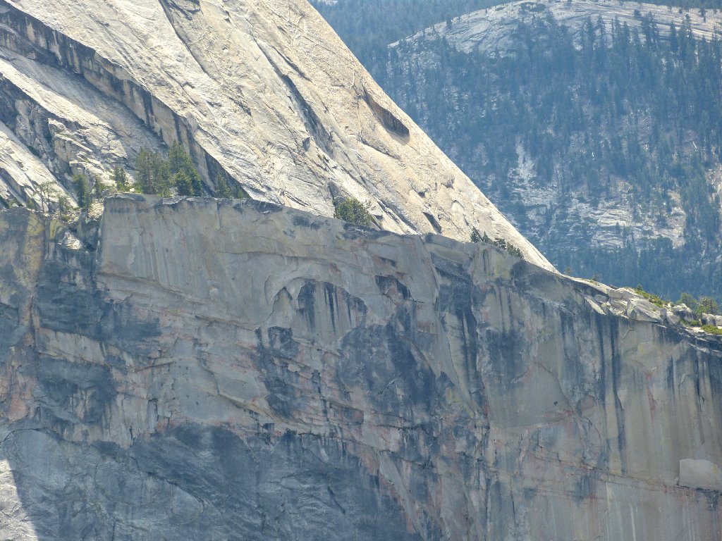
Back home in the lab, I was dissatisfied with certain photos despite having had to deal with some unfriendly lighting. A closer inspection of one scene, however, revealed some fascinating details of the face of the Diving Board:
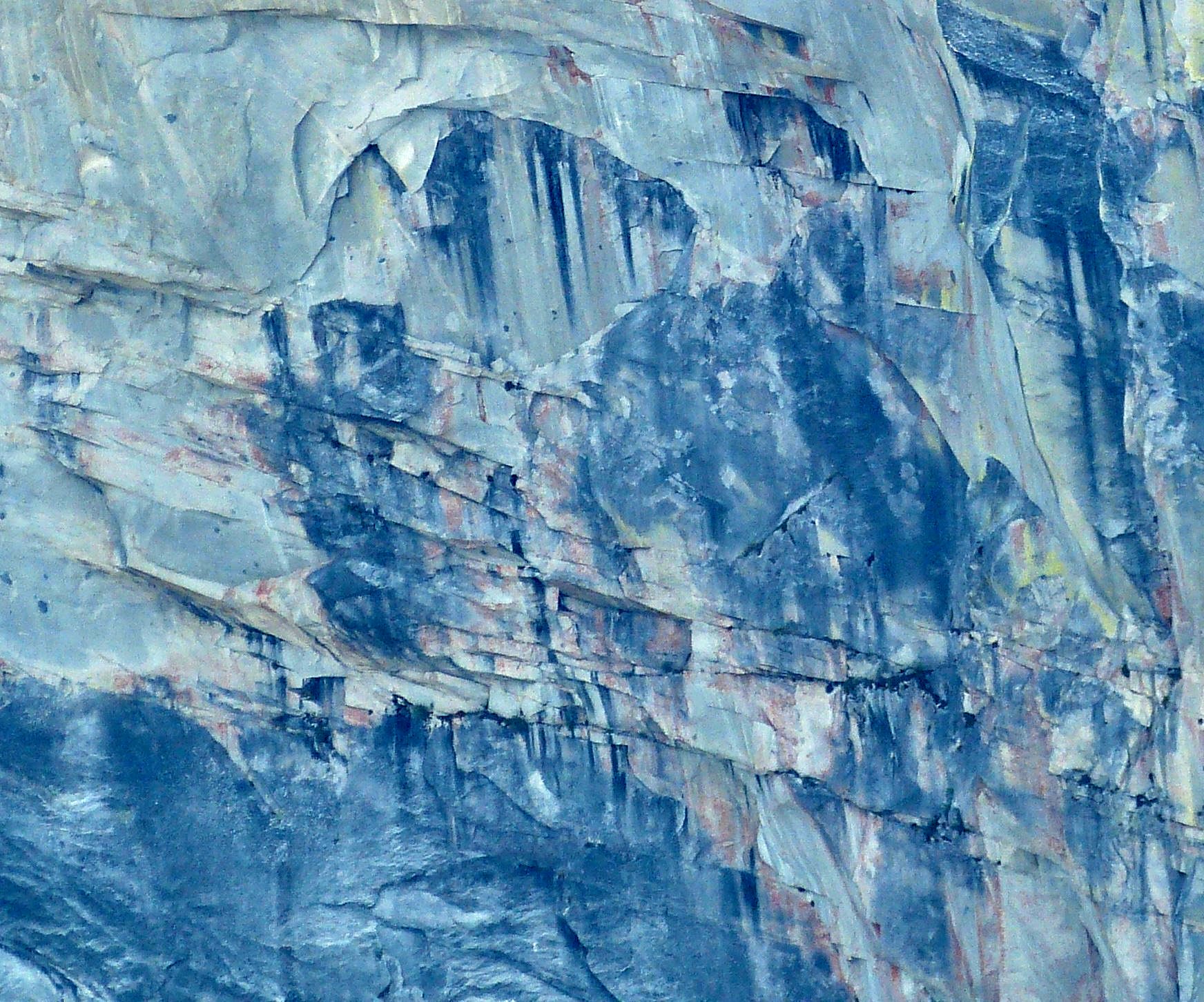
Nature's artistry. Take a closer look. ⇔
