
Tahoe National Forest
|
Wagon Wheel Lake Loop Tahoe National Forest |
July 6, 2013
A sizable region northwest of Truckee has been virtually unexplored by me even though I lived within an hour's drive of it for decades, in Reno. Now I must drive twice as far, from Sacramento. Go figure.
It takes more than forty minutes to negotiate the ten miles up Meadow Lake Road, which is quite bumpy most of the way. During this stretch, my car's rear window wipers go on by themselves and will not go off. There is nothing for it but to pull the appropriate fuse, which luckily doesn't control anything else.
After skirting the western shore of Meadow Lake itself, I head up the old Baltimore Lake Road. Within a quarter of a mile it begins to be pretty rough, so I park the car and start walking.
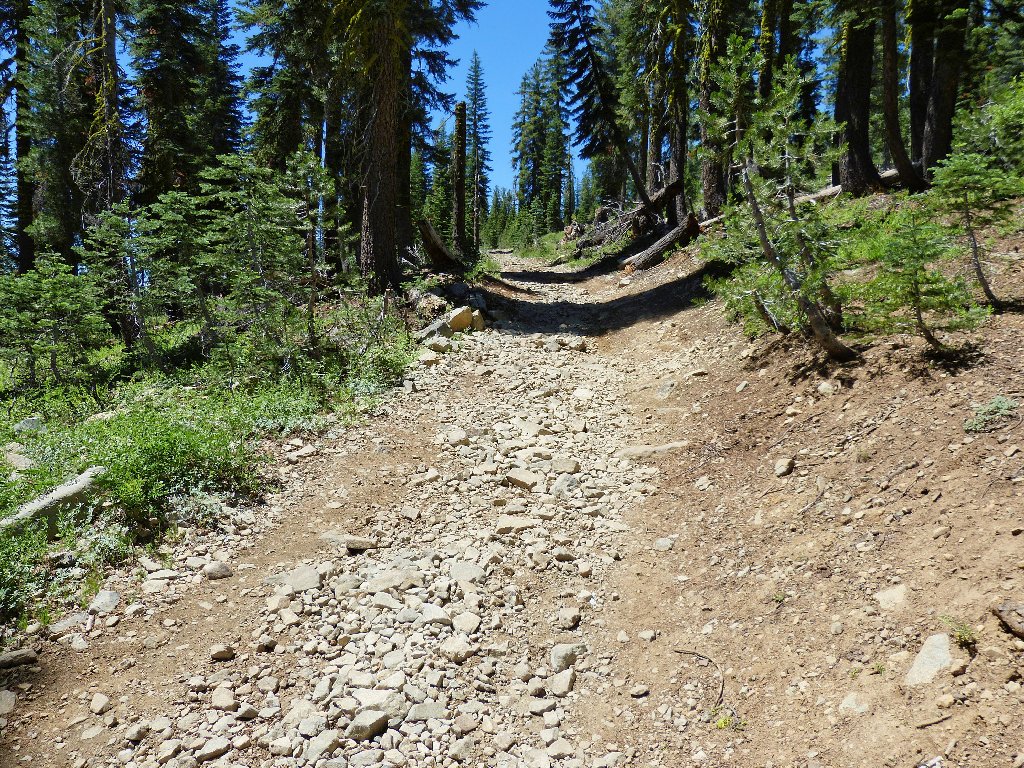
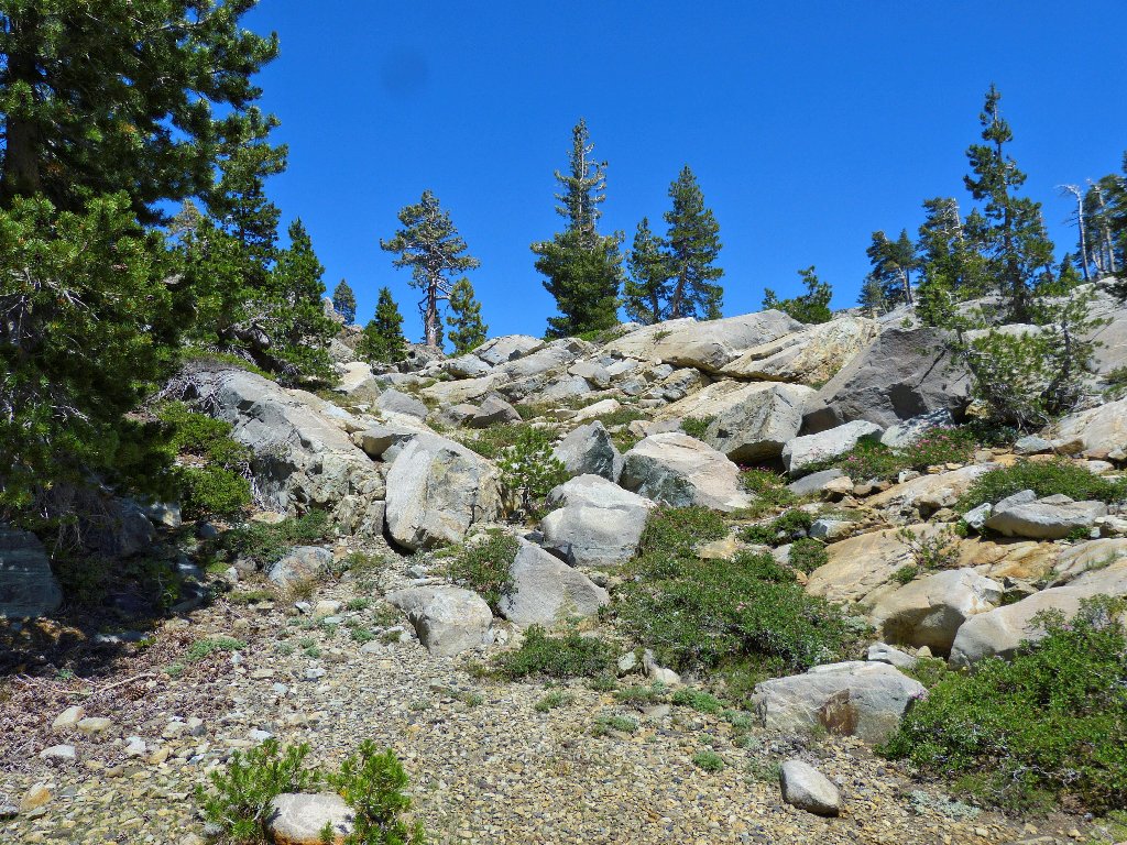
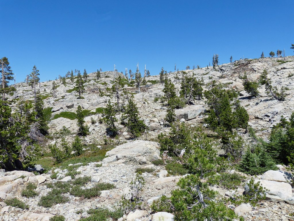
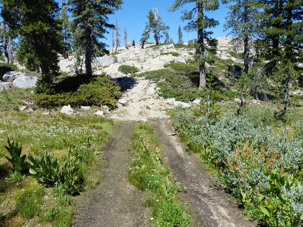
This road isn't so bad after all
The rough spot clears up within a few hundred feet, and the way looks
clear ahead; but what the hell — I'm here to walk, so I'll walk.
One of the Black Buttes
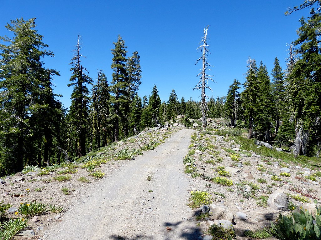
In just over a mile I find the trail I was looking for. In retrospect, there was just one problematical section of roadway, and my Outback probably could have handled it.
French Lake and English Mountain to the north
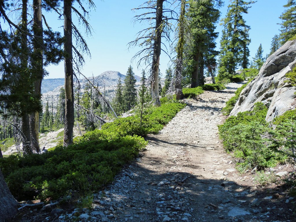
The road turns south, but I strike out westward.
Oh boy! A nice trail
Oops! I spoke too soon
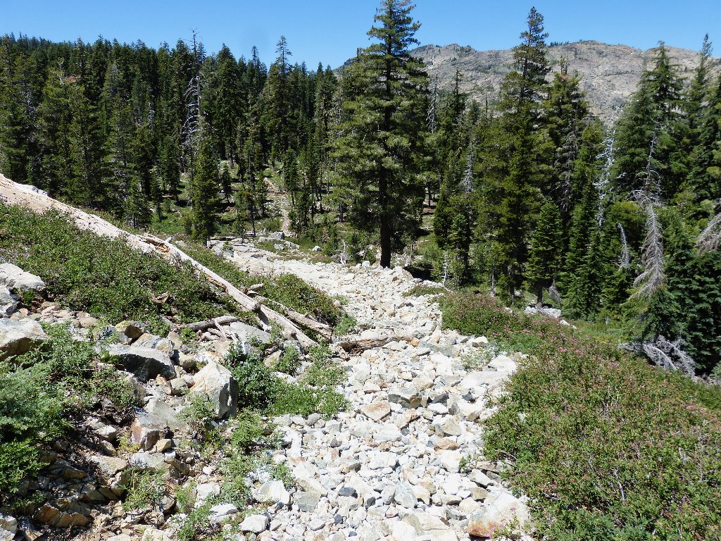
This trail is awful! The former roadway has been filled in with boulders to prevent vehicle usage. That's a good thing, I suppose; but it doesn't make the walking any easier. It's not far down to the bottom of the hill, however.
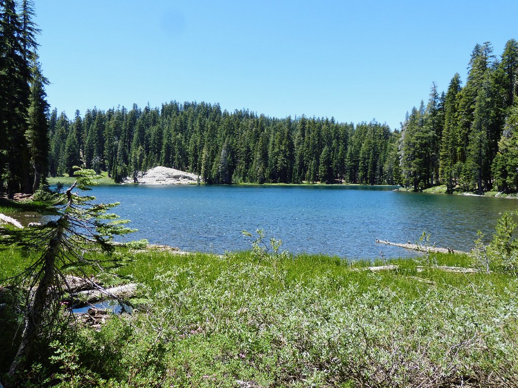
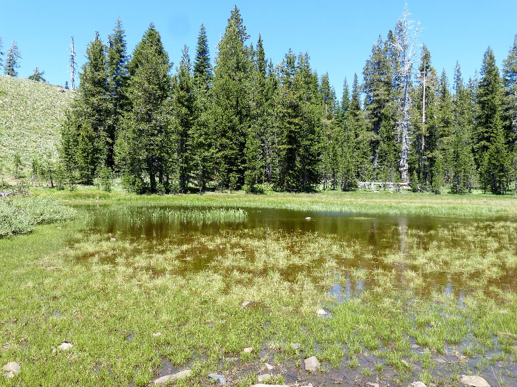
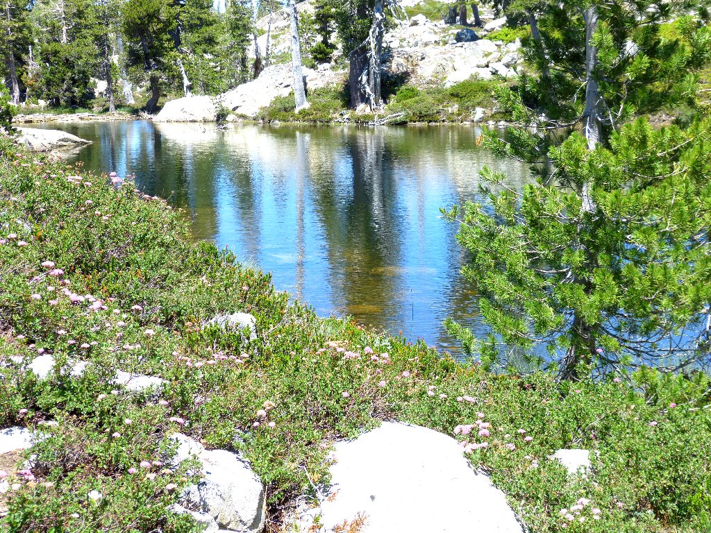
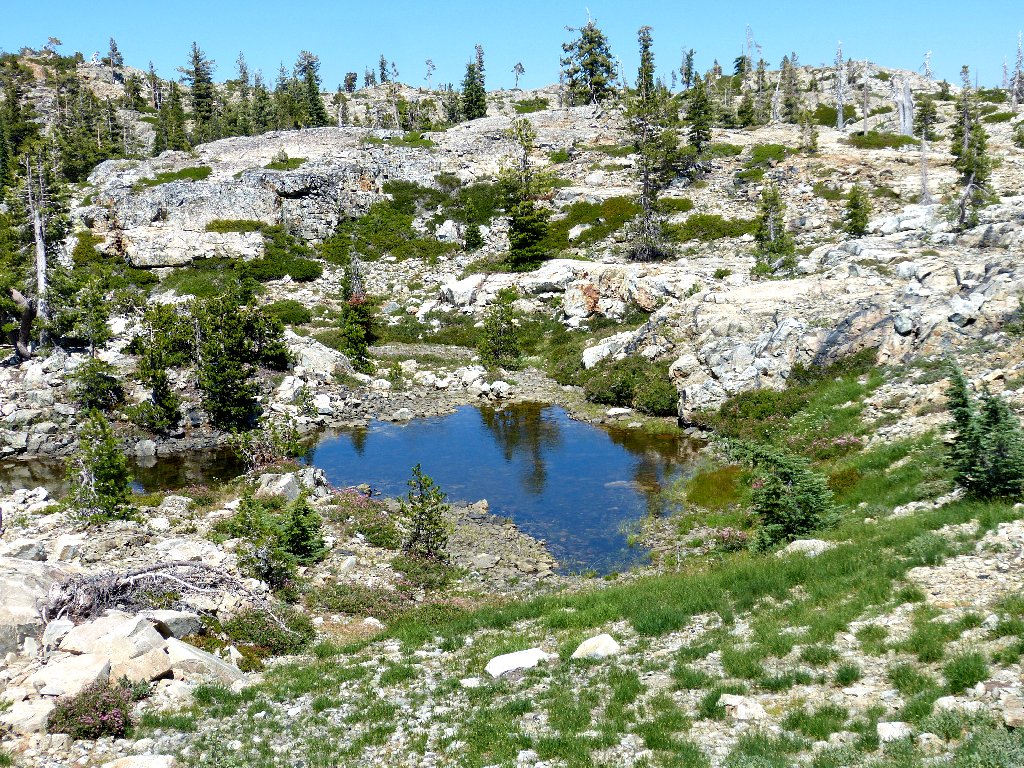
Baltimore Lake
According to the map, the old Baltimore town site lies over on the
right-hand shore; but the trail heads around to the left,
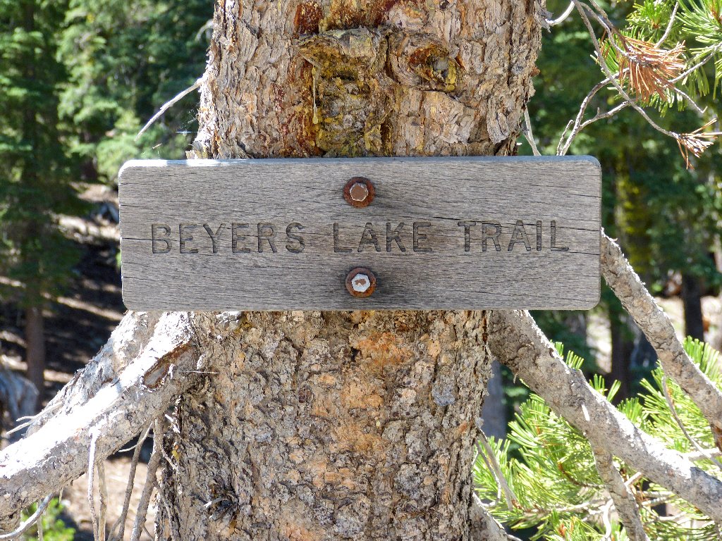
and so do I. A swamp at the the lake's inlet forces a detour,
which causes me to barely miss a trail junction. At this point,
I decide to divert from the Beyers Lakes Trail. There is plenty
of other stuff to explore, and it is clear that not all the sights can
be visited in one outing anyway.
With GPS in hand and previously plotted waypoints at the ready,
I continue southward up a little-used path.
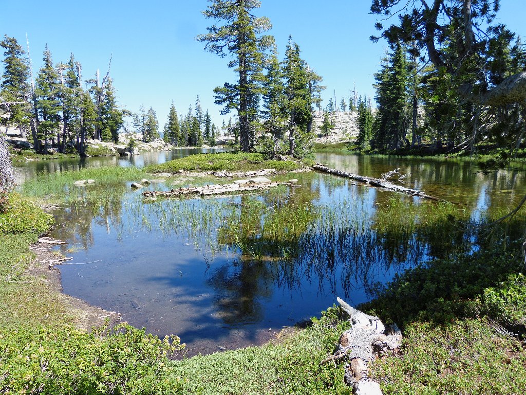
Lake #2
Pond #1
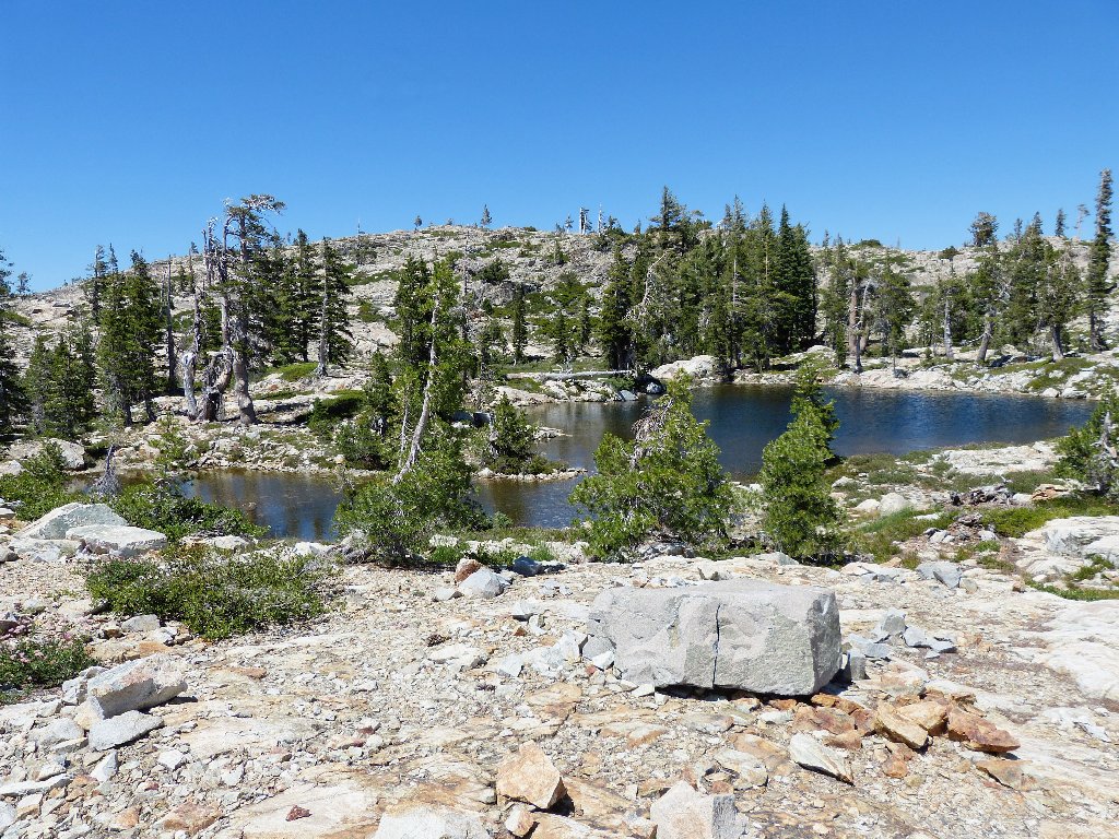
Within fifteen minutes I have detoured over to one unnamed lake, then found the one I was looking for. Although it is vaguely round in shape, more likely its name was derived from some sort of wagon malfunction.
Wagon Wheel Lake
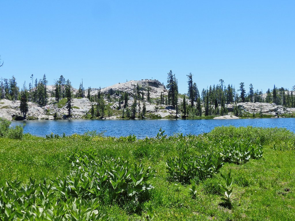
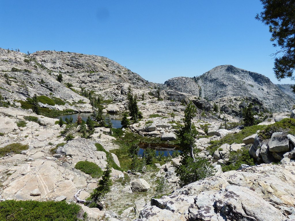
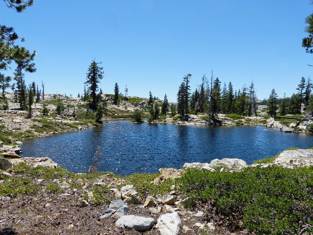
Another bigger body lies just to the west, so I venture over the hillside to see it. Then I backtrack eastward toward an area that, according to the map, sports about twenty lakes and ponds.
Lake #4

Basin Peak and Castle Peak are ten miles away
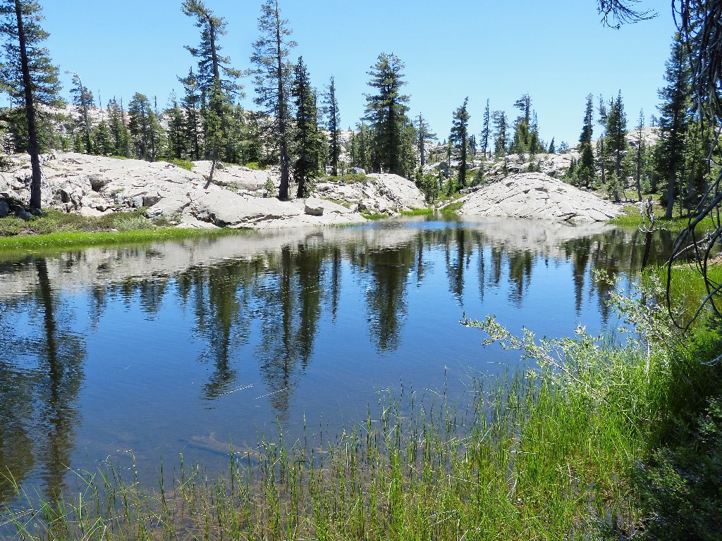
Lake #5 is very nice
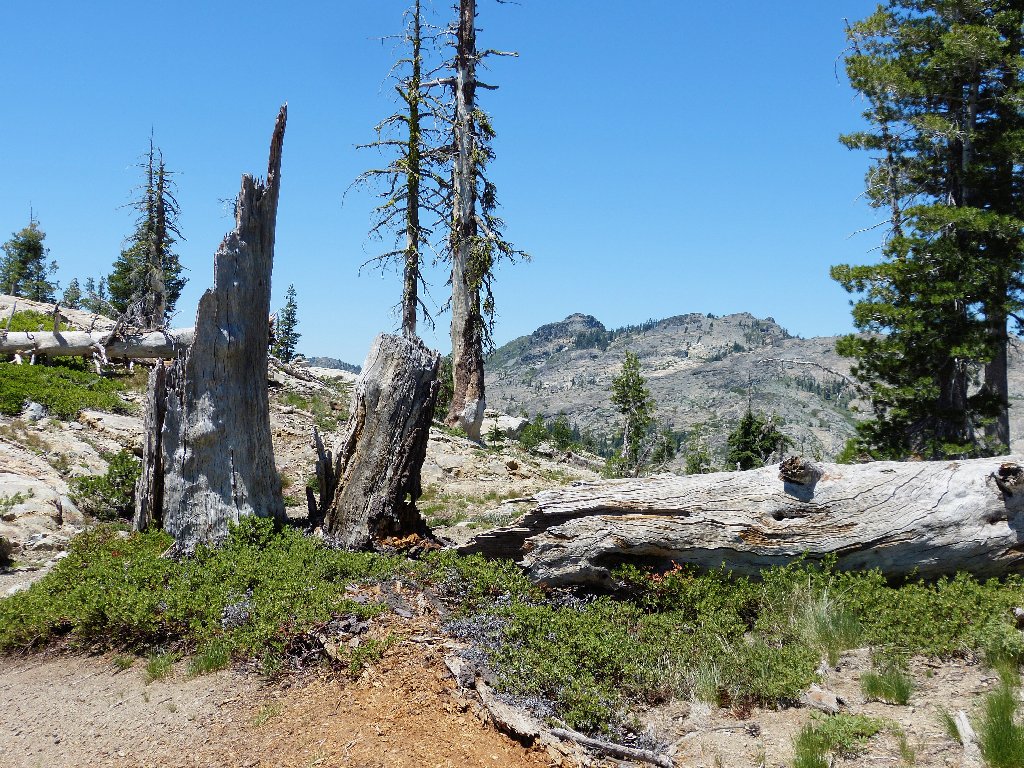
It's just a hill
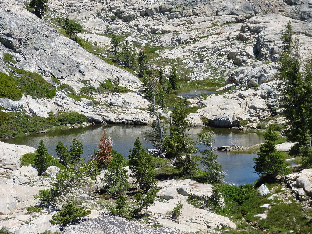
Lake #6
The prominent landmark around here is Old Man Mountain. Everyone
traveling eastward on Interstate-80 heads directly toward it for a
time, and many surely have noted its unusual, Half-Dome-like
profile. I had thought perhaps to climb it — possibly
today, but the task of scaling the sheer northern face appears too daunting.
In any case, I am inexplicably running short of energy already.
Granite dells, framed by photogenic Old Man Mountain
This is a really beautiful setting. Phoenix Lake lies just out of sight between myself and the mountain; I wish I had the gumption to scramble over there to look at it.
Hello. There's a third lake back there
Climbing the next hill actually is rather fun. Convenient
grass-filled pathways present themselves in several places.
It's just another hill
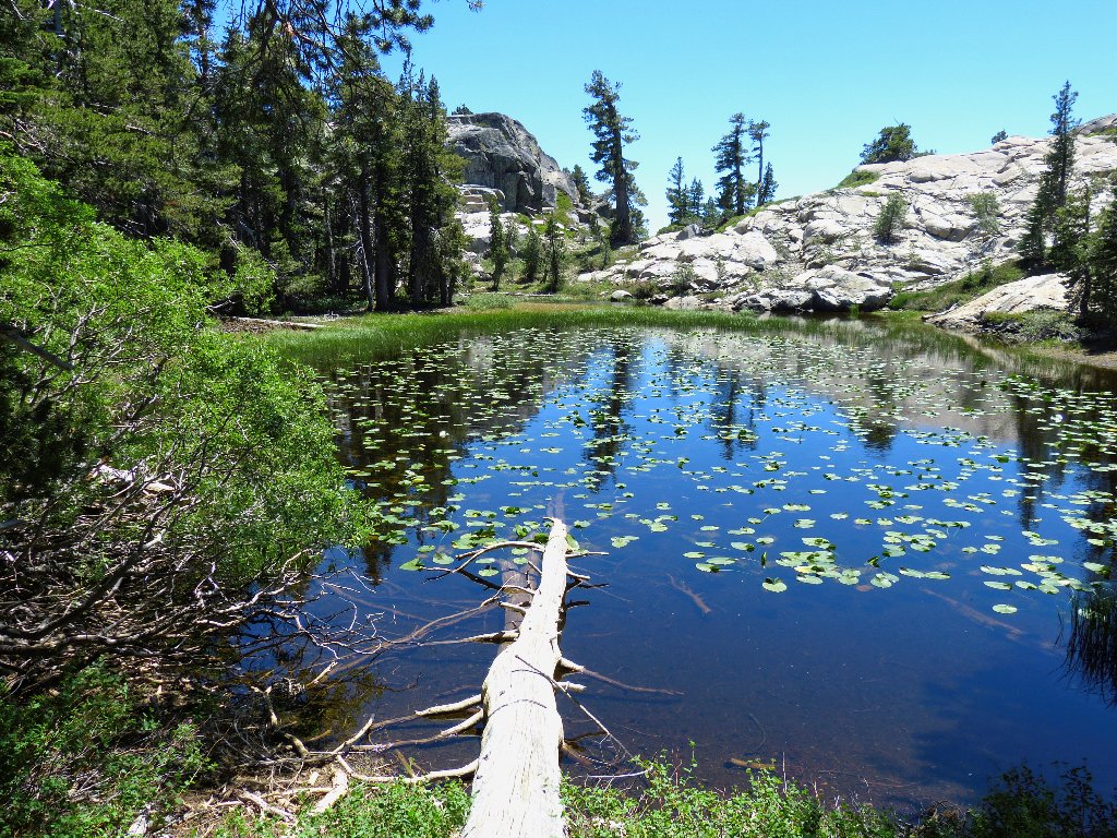
Lake #10
Lake #11
Suddenly, I encounter a trail marker. This is not surprising, becuase the trailhead is less than a mile away to the north.
Perhaps there is an easy way back after all
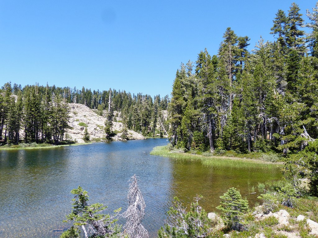
Lake #12
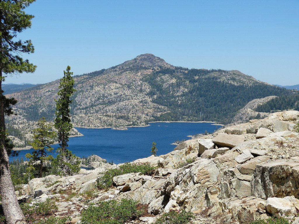
Fordyce Lake to the east
The northern border of Granite Chief Wilderness is 15 miles south
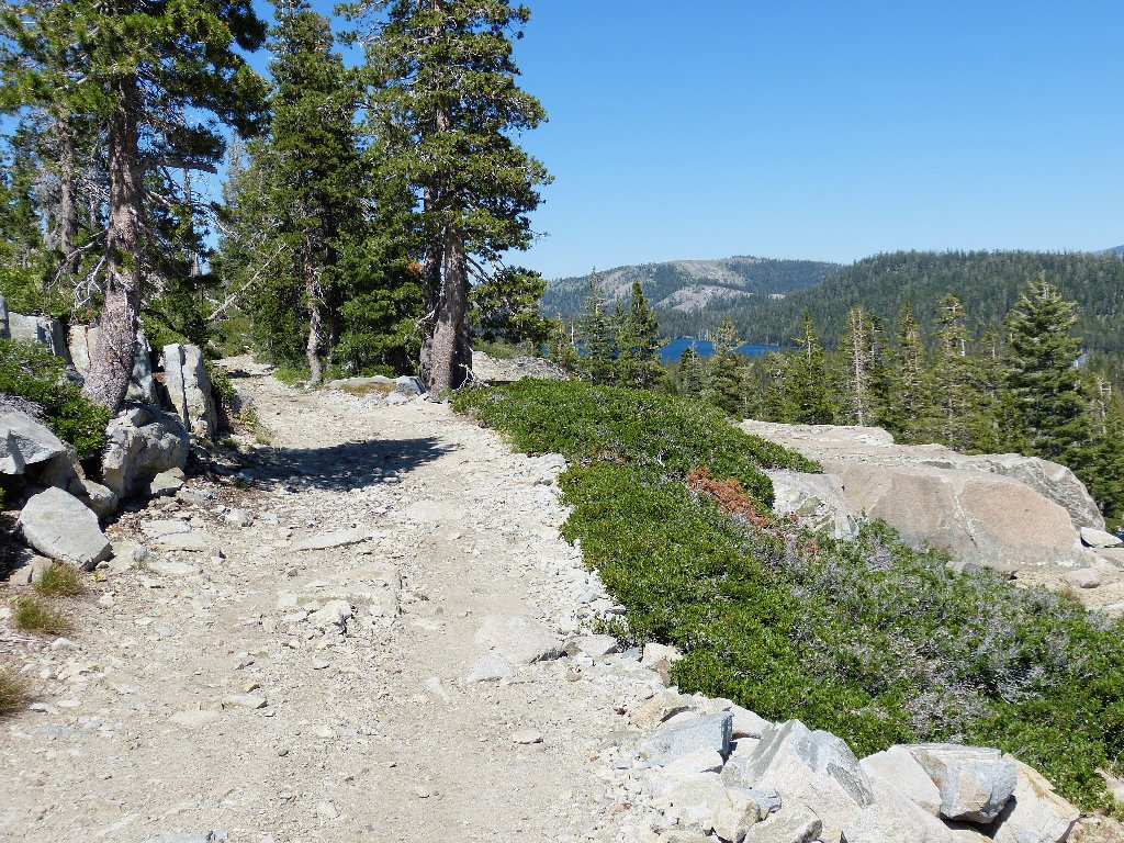
Surely enough, around the next corner I run into an ORV route that returns me to the original trailhead. I chat briefly with a couple of backpackers.
It's a cakewalk from here
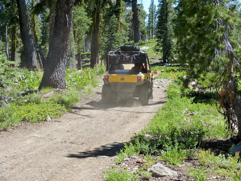
The last mile-plus is interrupted by vehicle noises and other evidence of humanity.
Taking the easy way
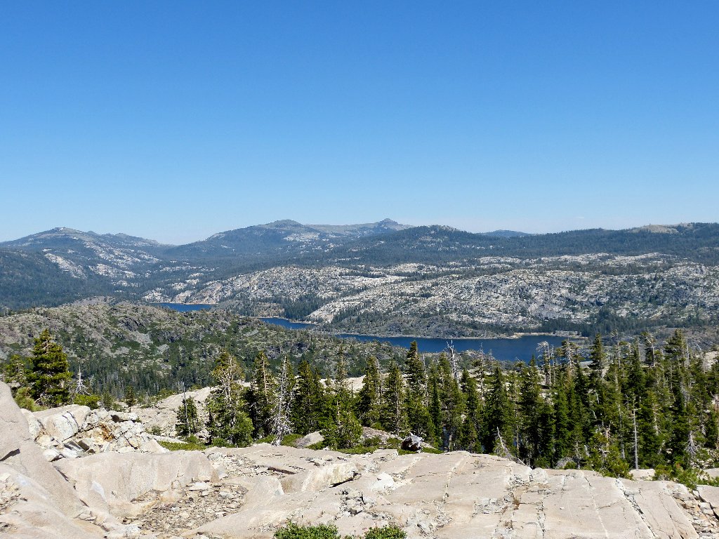
Meadow Lake in the distance
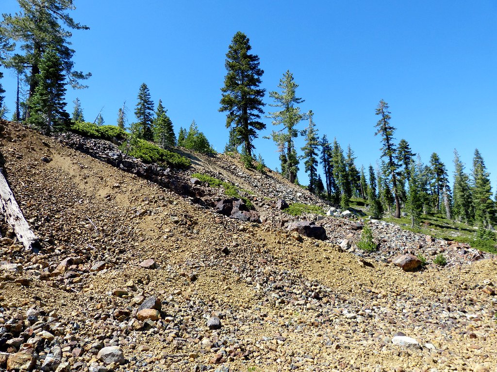
Mine tailings
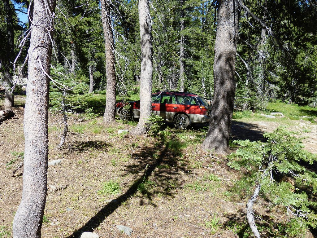
It's right where I left it
§: I had a pretty good time today, and a lot of unfinished business
remains. I regret not having taken the relatively easy detour from my
elevation high-point over to Peak 7572 (see map) for what doubtless
would have been the best viewpoint of the day — a close-up
of Old Man Mountain overlooking Phoenix Lake. Be sure not to forgo that
option yourself.
| Scenery |  |
| Difficulty |  |
| Personality | |
| Adventure | |
| Solitude |  |
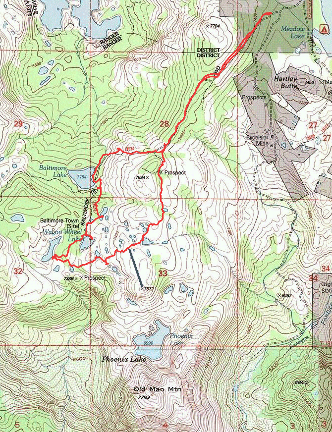
Today's route (counter-clockwise)

SCENIC DETOUR
Just east of Meadow Lake Road is Webber Lake. Just east of Webber Lake is a crappy but passable dirt road that provides access to Webber Falls on the Little Truckee River. Doubtless many visitors to this area are unaware that these falls even exist. Having not visited them myself for more than forty years, I will return some morning for better photographs.
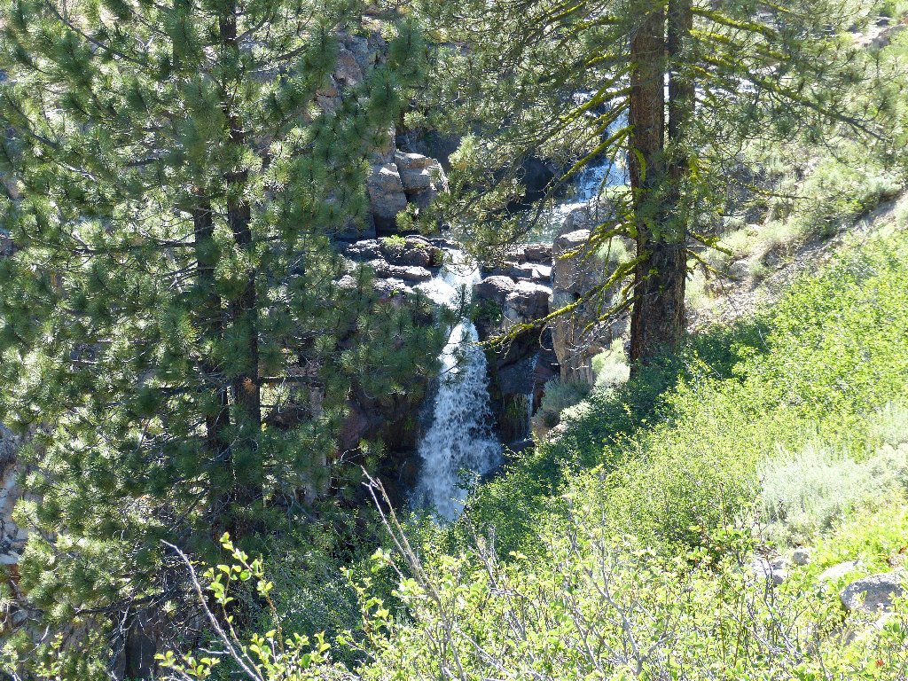
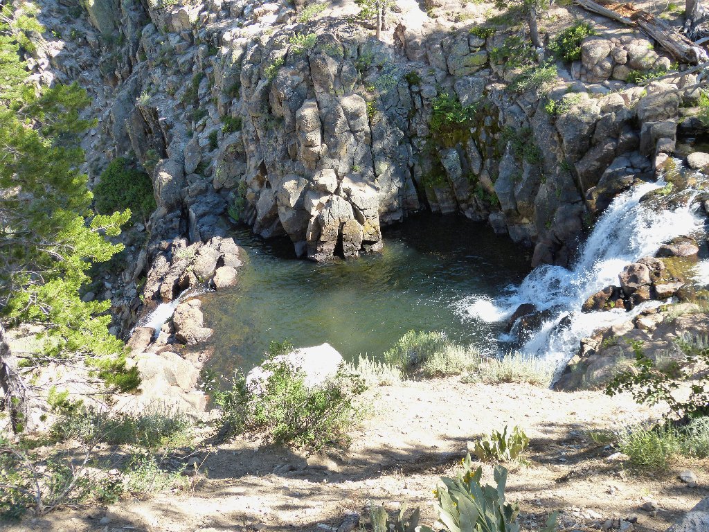
Some scrambling is necessary in order to view Webber Falls
