Big Basin State Park
|
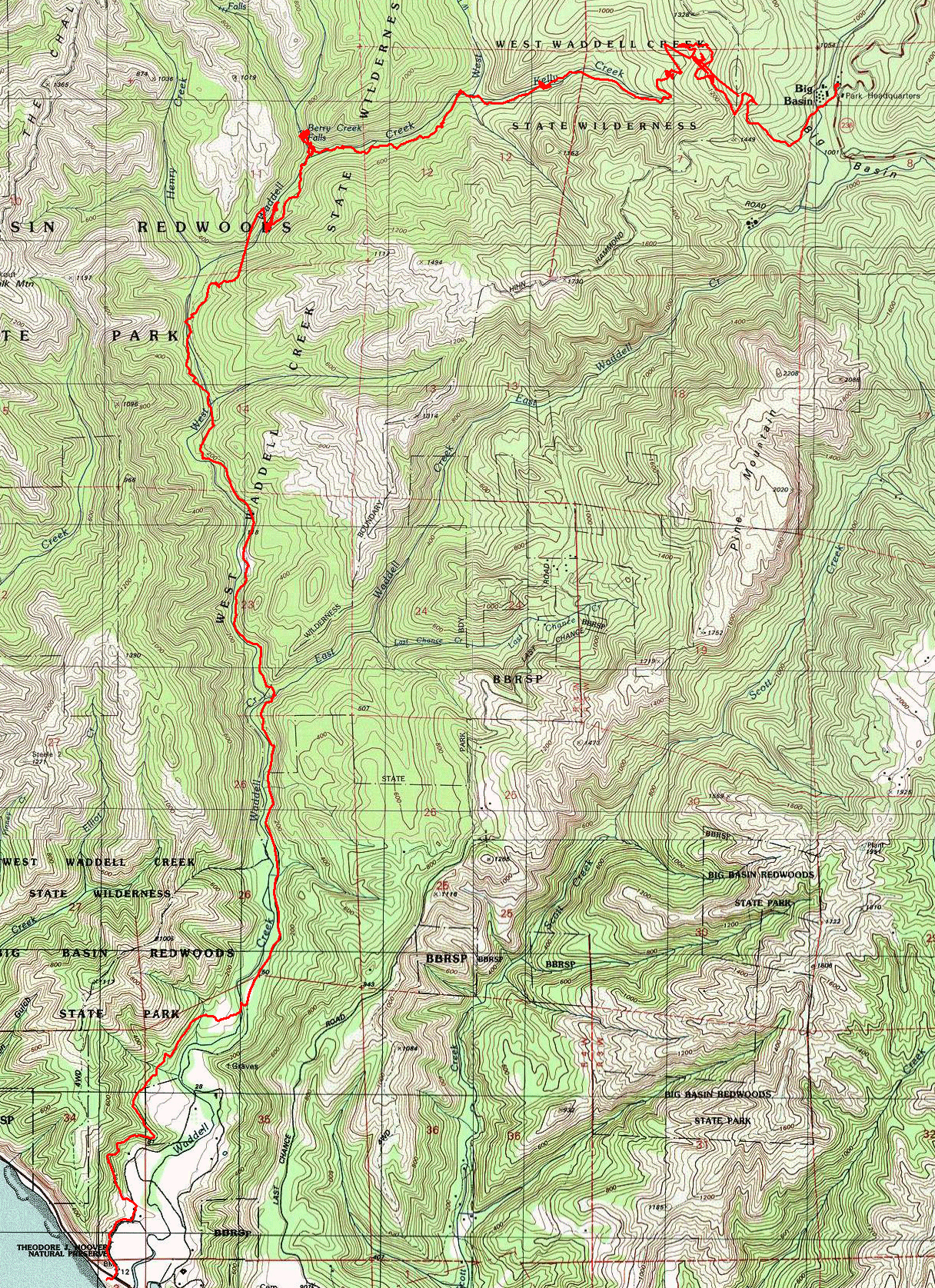
Skyline to the Sea Trail Big Basin State Park |
June 29, 2013
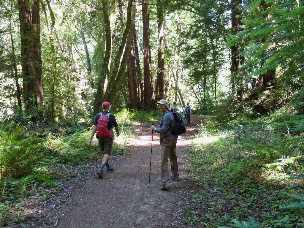
I have driven a long way with friends Mary and Desi, to hike here with them and a few other members of the Orinda Hiking Club.
The Walk Across California Route starts right here. Having missed this initial trail segment earlier, Desi is determined to catch up with the other WACers. It's all or nothing for these guys.
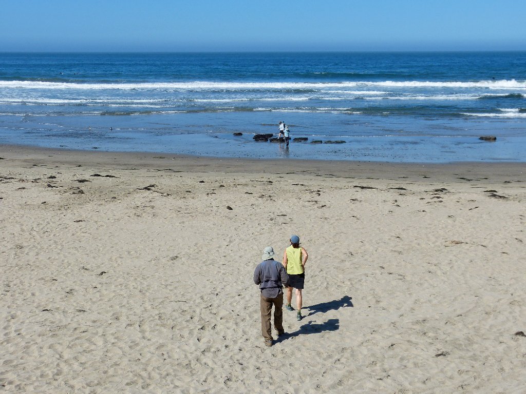
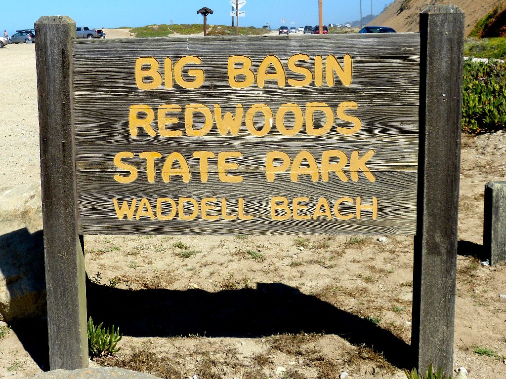
To conform to the rules, Desi must begin her walk right at the edge of the continent
Waddell Beach is renowned for great wind and kite surfing. This morning, however, there are but a few traditional daredevils around.
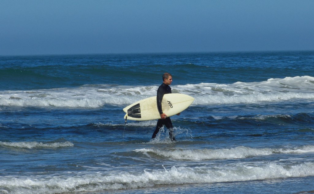
Unlike us, this guy would rather not be walking
Skyline Boulevard runs along the ridge top between San Francisco and San Jose. This Skyline to the Sea Trail connects the highway with the beach.
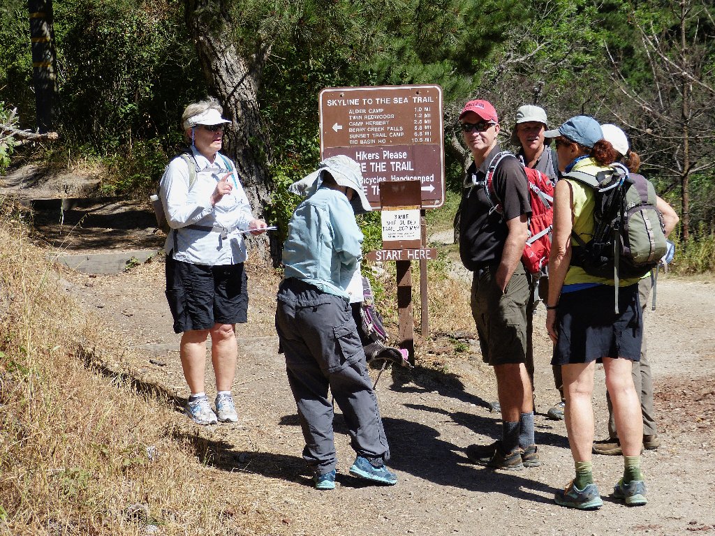
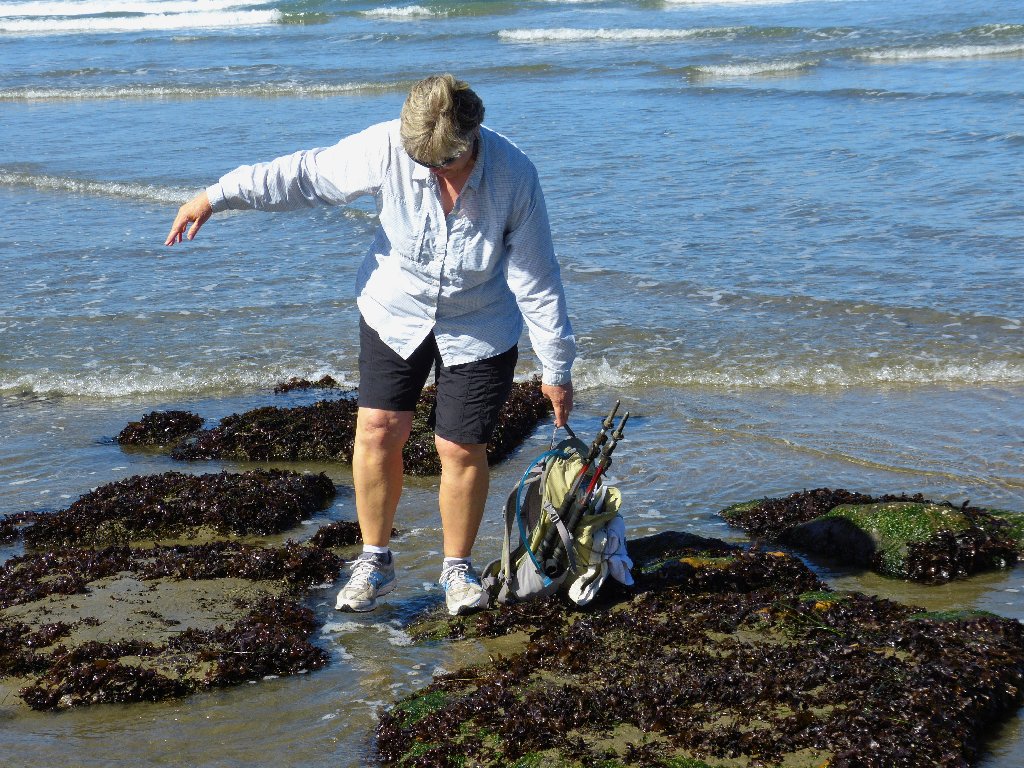
A final orientation check
Shortly into the walk, we have the option to continue up the shorter road or veer off onto a trail. A signpost asks us to use the trail unless we are handicapped, so we do.
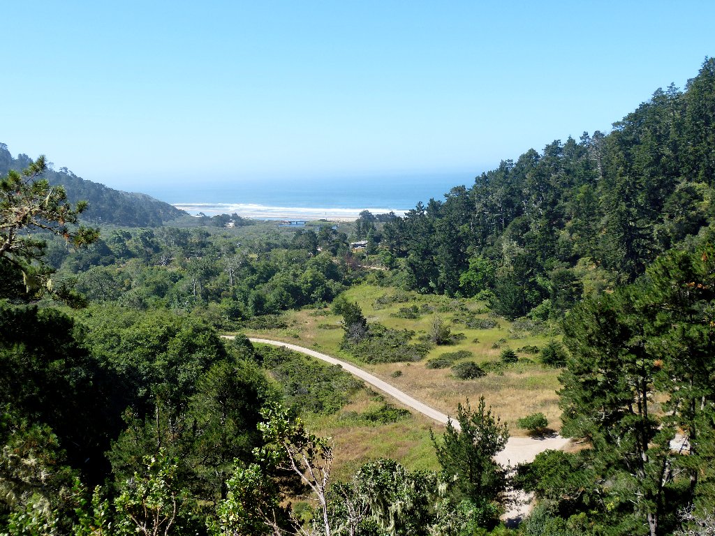
A last look back at the ocean
This giant grove of coast redwoods is magnificent. Many of the trees reach up to 300 feet into the sky, and they range in age up to 2,000 years. Their preservation is principally due to the efforts of photographer Andrew P. Hill, who spearheaded a conservation movement leading to the creation of California's first state park in 1902.
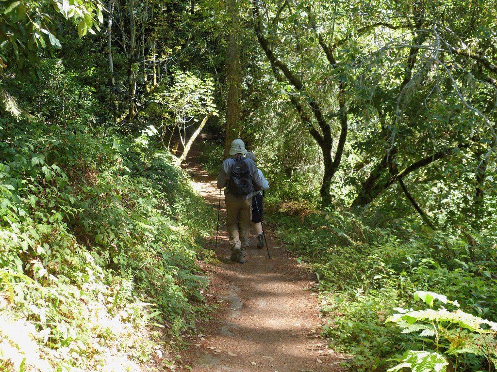
They make the walking as easy as possible around here
It is quite warm today — somewhere in the eighties. The combination of humidity and high temperature causes us all to reach for our water bottles more frequently than usual.
Some opt for the low road
Others take the high road
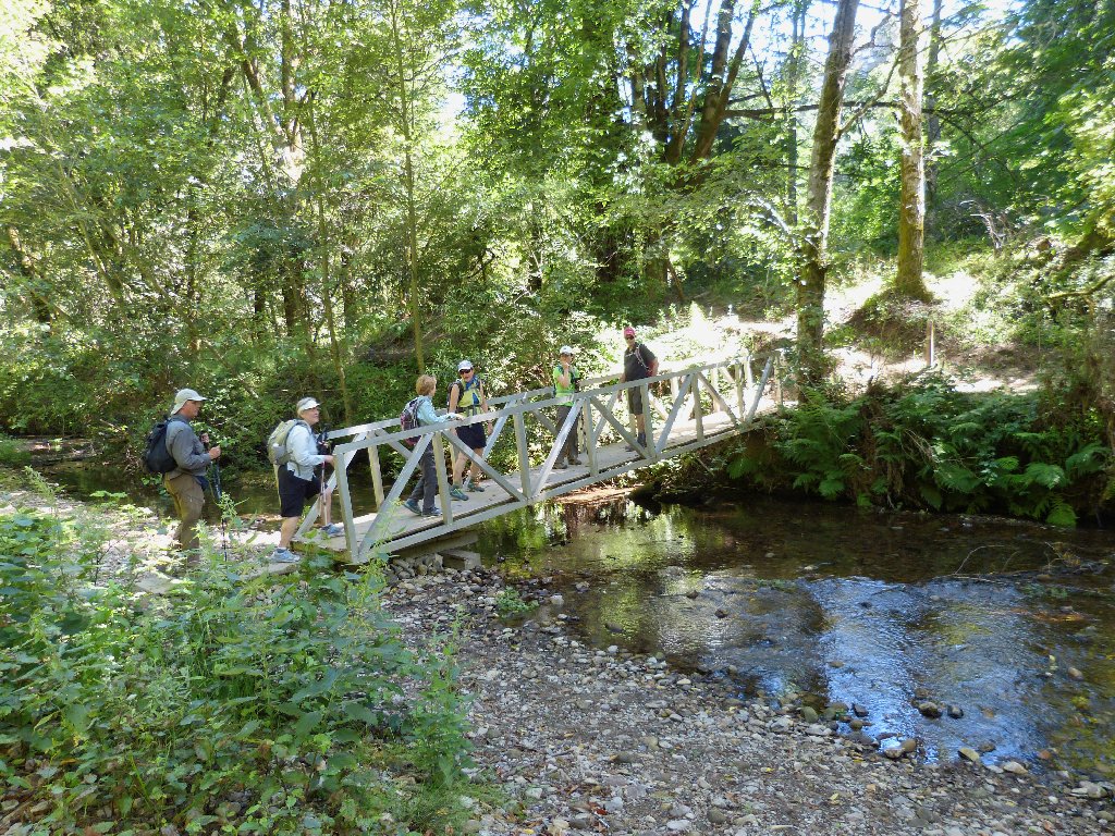
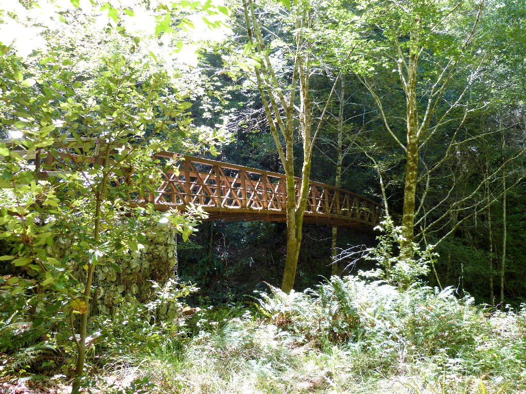
A fancy elevated footbridge spans the trail, but we find it easier just to ford the creek on the dry rocks.
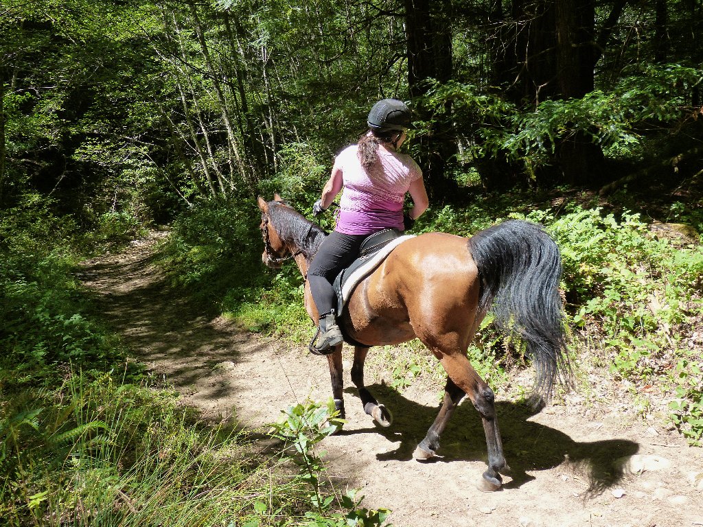
No horses allowed on the bridge
Mark checks to see what's holding me up
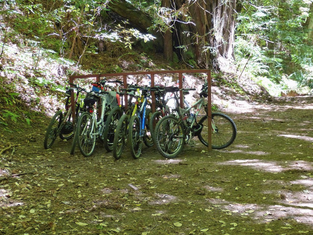
The remaining section of trail is off-limits to bicycles
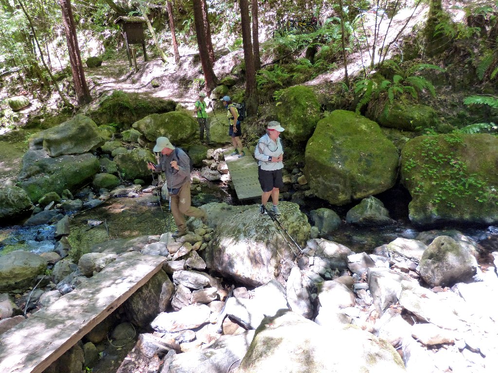
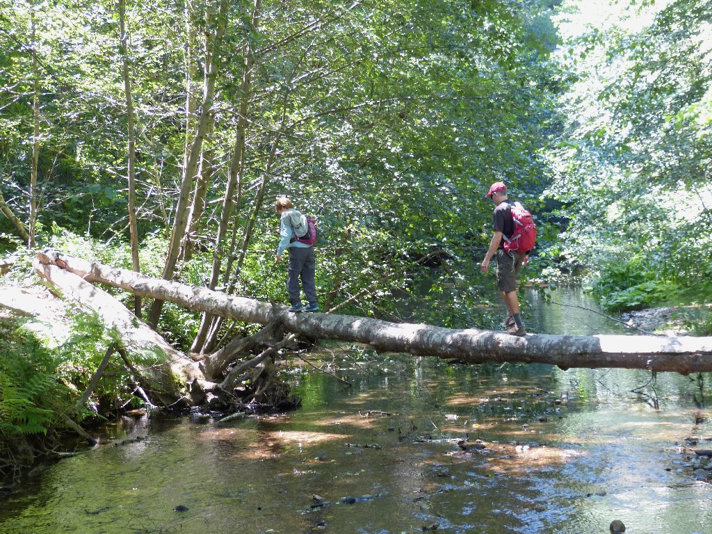
Waddell Creek is nearly dry
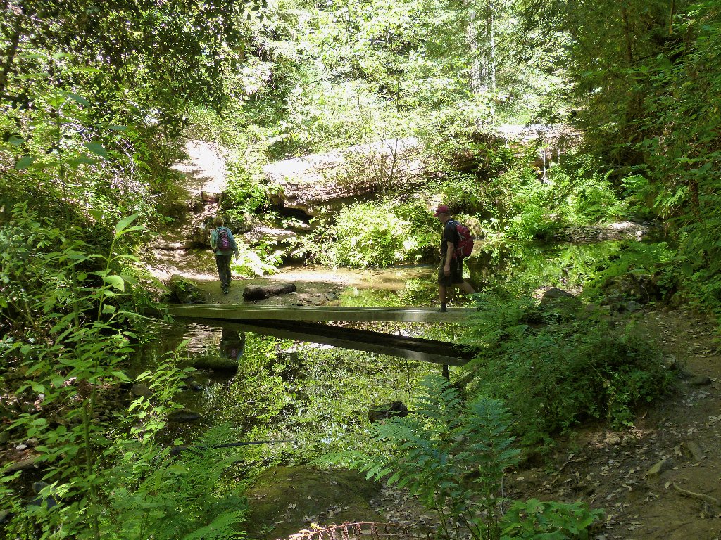
Two aluminum troughs serve as bridges
A short detour on a spur trail is necessary in order to view today's main attraction:
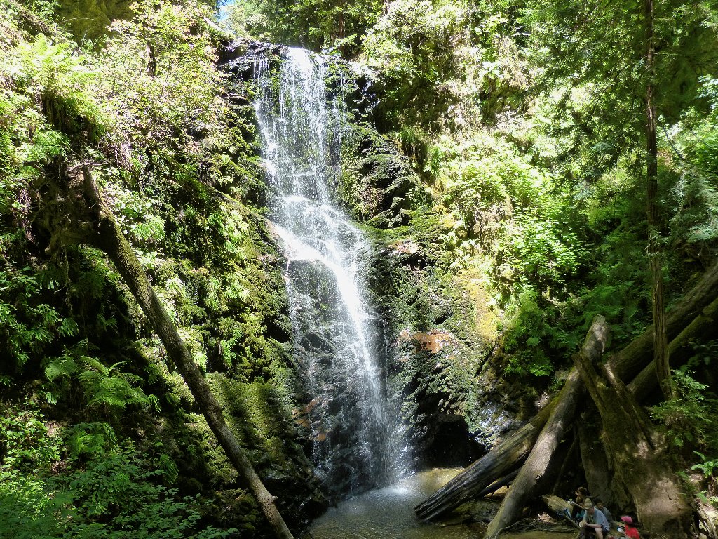
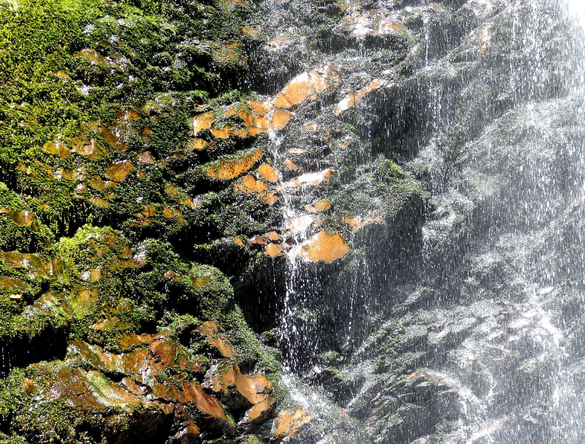
Berry Creek Falls, 70'
The falls overlook is a good place to stop for lunch as well. Many other hikers are doing the same at the base of the falls.
⇔
Although more falls and cascades lie upstream, they are not on today's agenda. I make a mental note to return and visit them sometime.
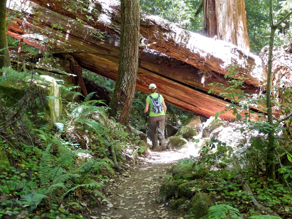
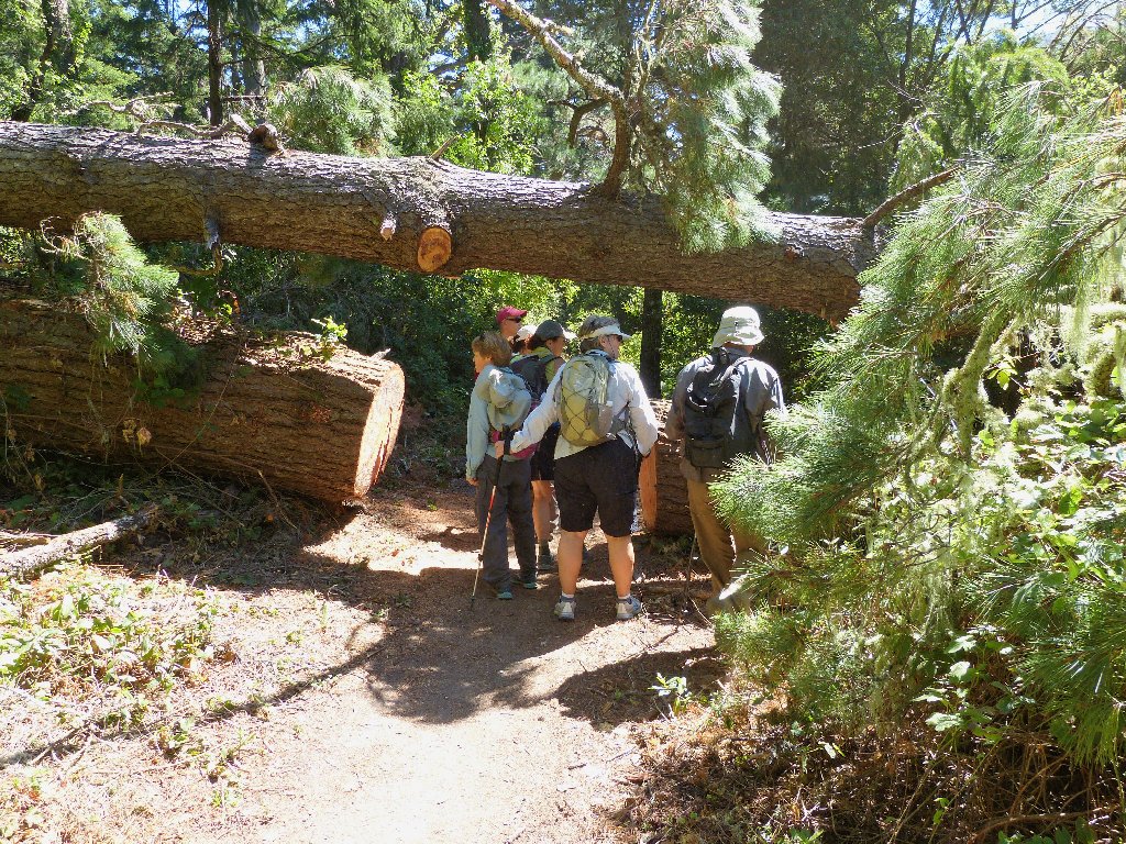
More obstacles
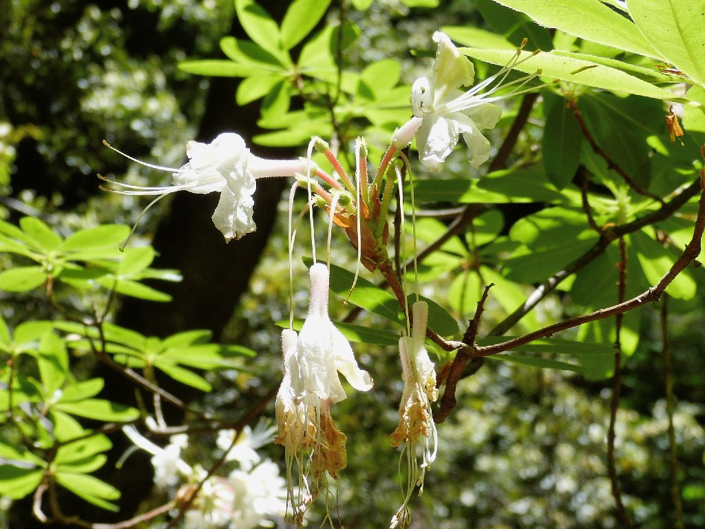
Western Azalea
From here, the trail leads fairly steeply uphill, utilizing a lot of stone steps. In one spot, footholds have been gouged out of a big boulder.
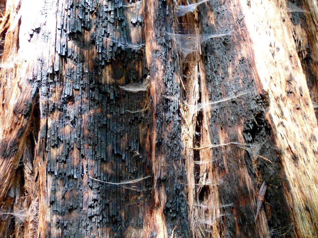
Burnt bark and cobwebs — an interesting combination
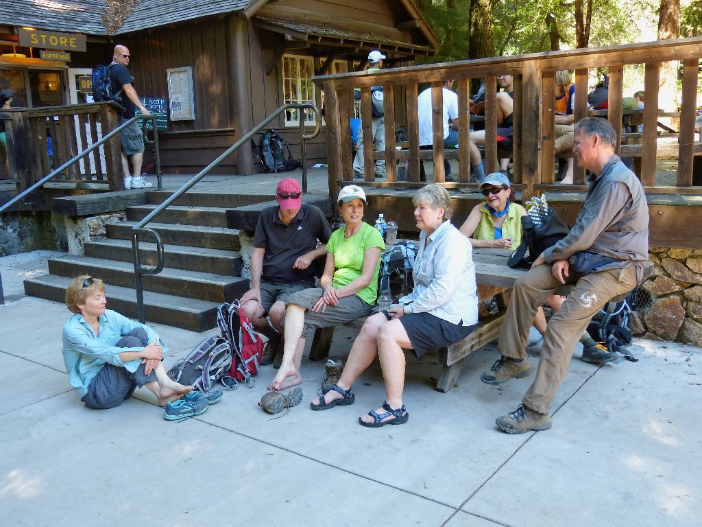
After a final short downhill run, the trek ends in predictable
fashion — at the snack bar.
Mary, Paul, Liz, Desi, Christy, Mark
§: Being in the tall redwoods always is nice, and being in good
company is even better. This hike would have been a lot prettier a couple
of months earlier, however.
Desiree now is up to date on her mission to Walk Across California.
Although I am not trying for that record myself, I surely will do numerous
other segments of the route — especially as the quest progresses
nearer to my home.
| Scenery |  |
| Difficulty |  |
| Personality |  |
| Solitude |  |