
Tahoe National Forest
|
Tinker Knob – Anderson Peak Tahoe National Forest |
June 20, 2013
There are several ways for a hiker to get to Tinker Knob.
The 'standard' trailheads are at Donner Summit (7 miles)
and Squaw Valley (8 miles), both on the Pacific Crest Trail.
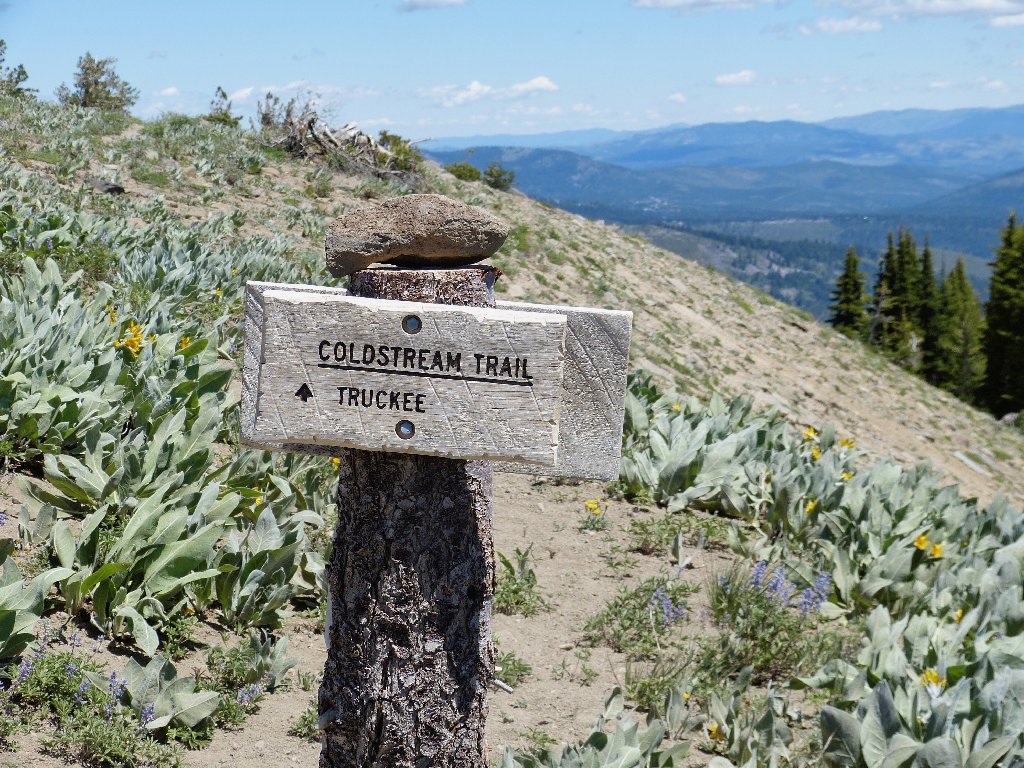
The lesser-known Coldstream Trail (aka "Lost Trail")
leads southward up the South Fork of Cold Creek from behind Donner Memorial
State Park, in just six miles or so including a park entrance fee and some
walking on a private road.
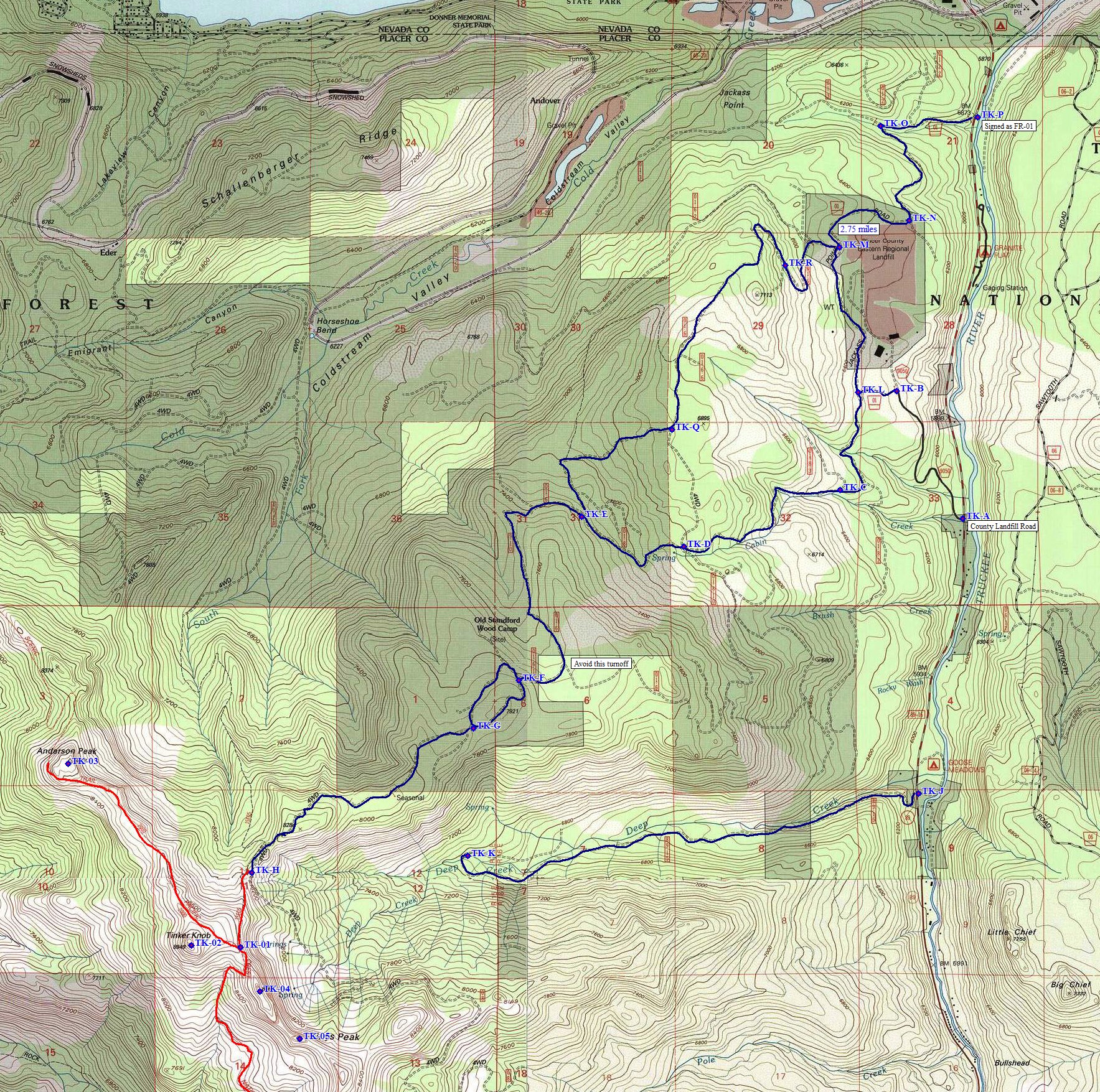
Thinking that there might be an even easier access, I plunge onto the dirt roads behind the county landfill just south of Truckee. Any guesswork about choices of routes is mitigated by GPS waypoints prepared for this occasion. When the road finally gives out completely, it is time to start walking.
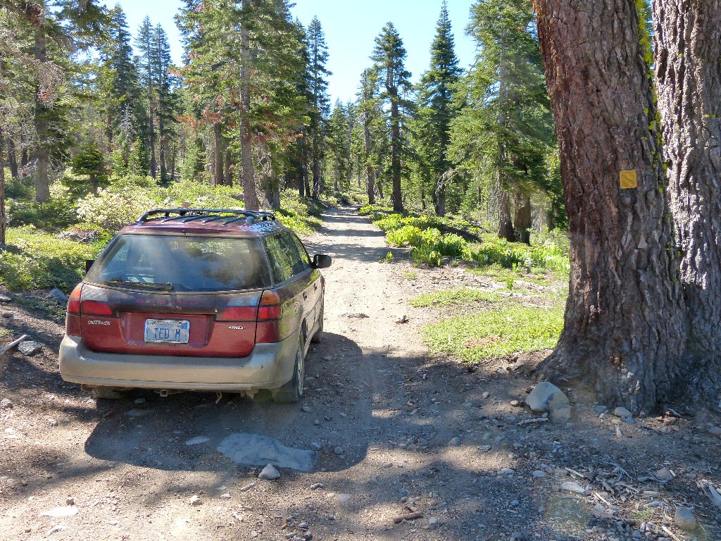
The access road
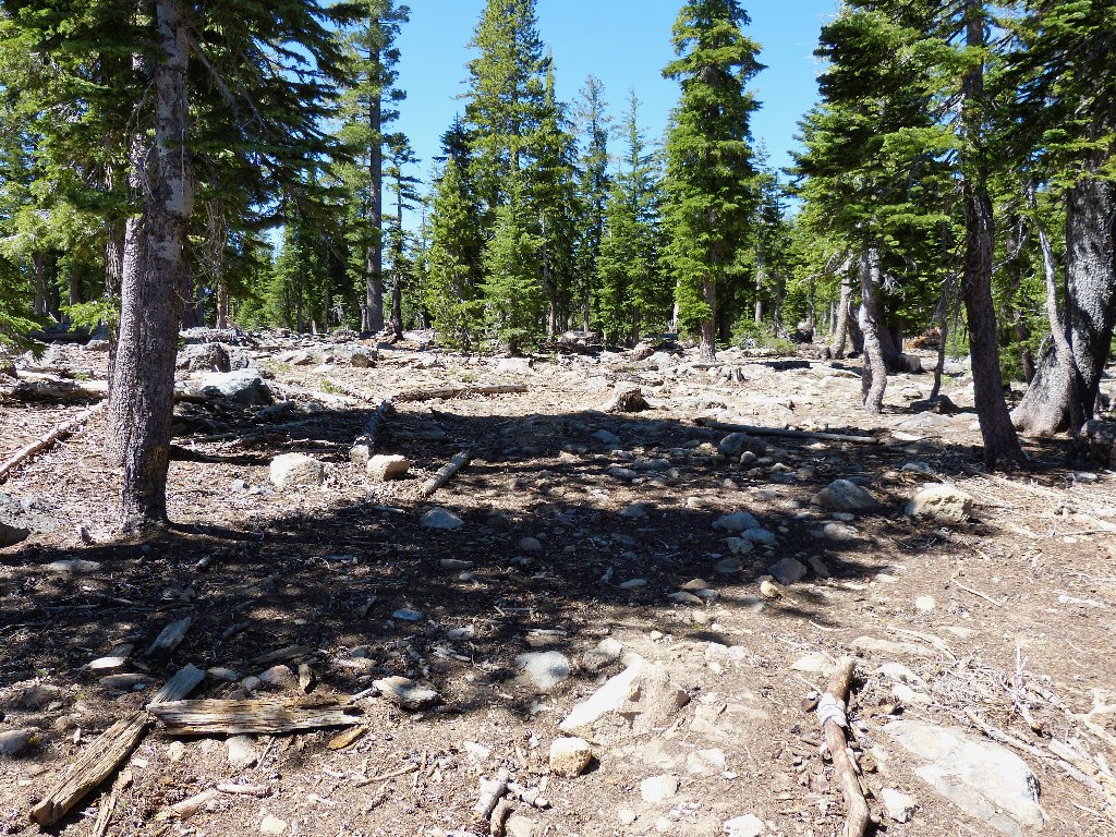
Start of the walk
Within a few minutes, I discover another road that would have taken me about
three-quarters of a mile farther up the hill. I should have turned
left at that last junction.
I-80 and Castle Peak in the distance
Approaching a steep climb
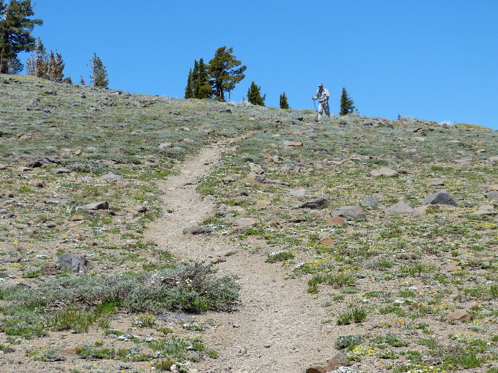
Two hikers appear on the ridge top half a mile to the west. I must get up there!
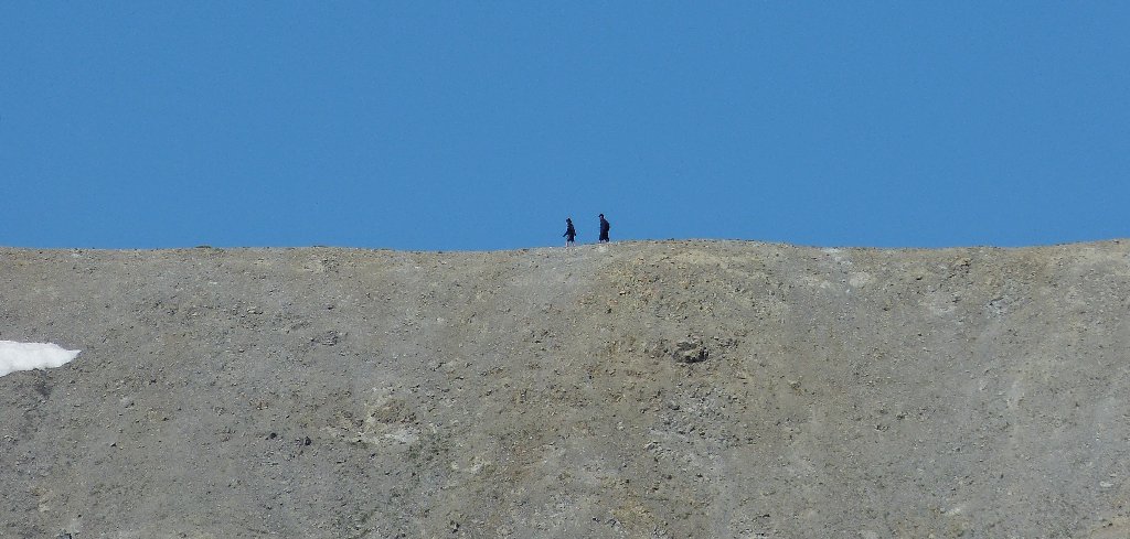
They are on the PCT
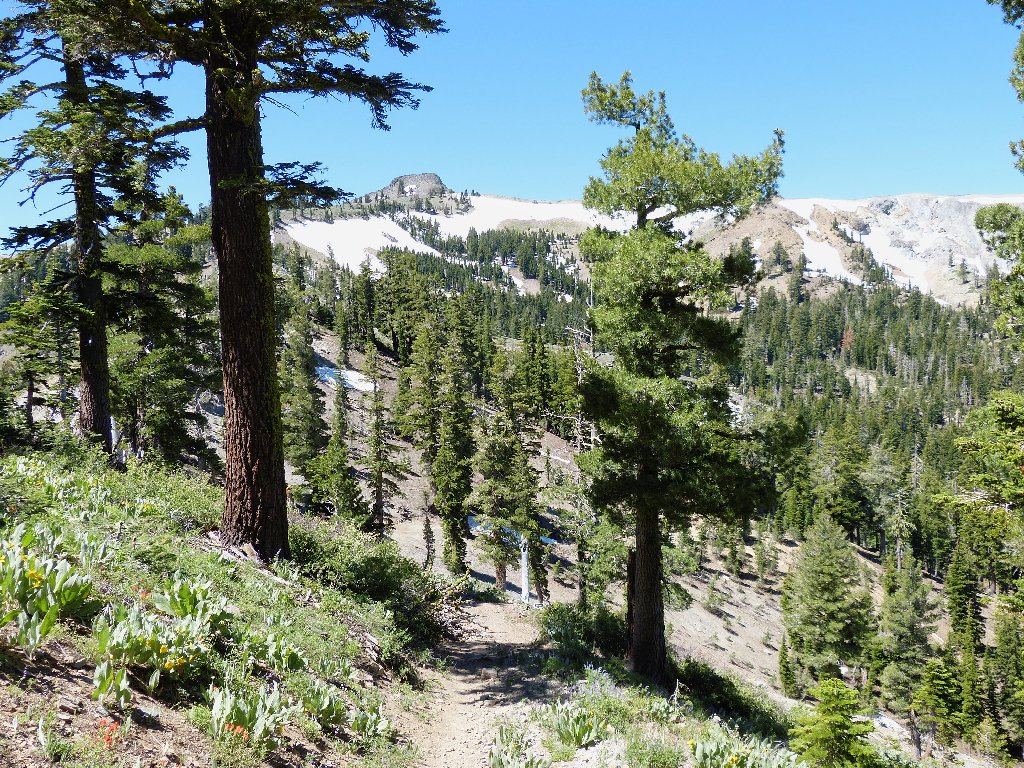
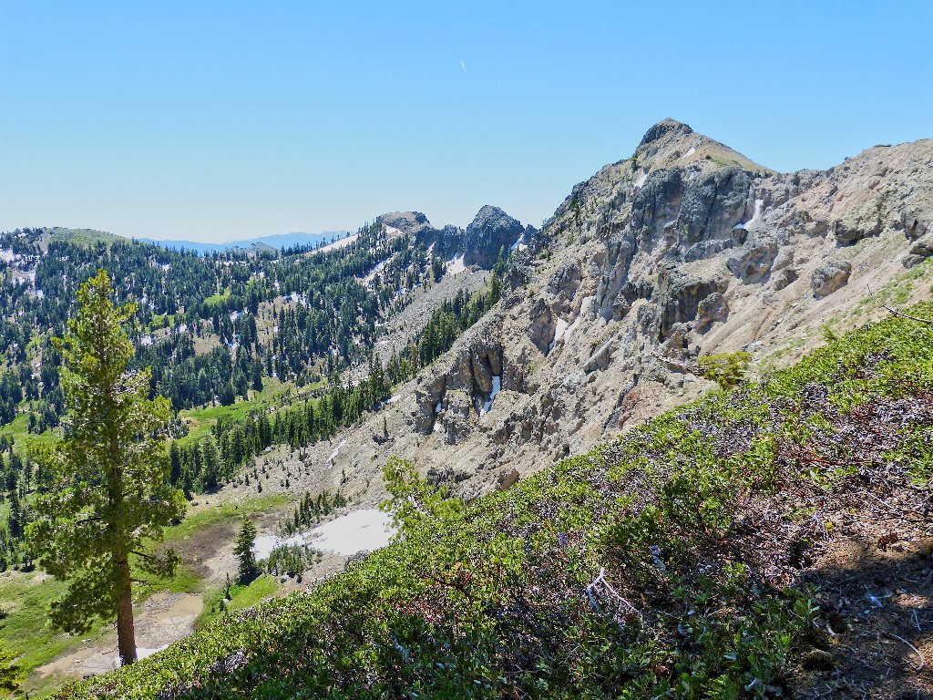
There still is plenty of snow on the north-facing slopes
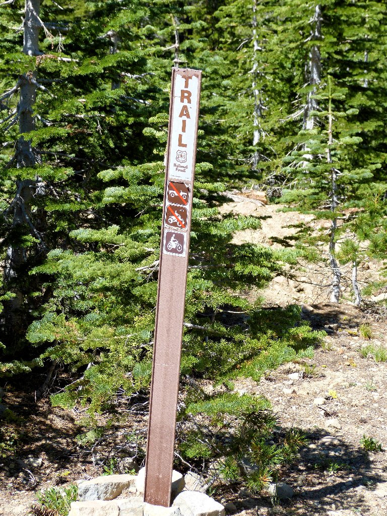
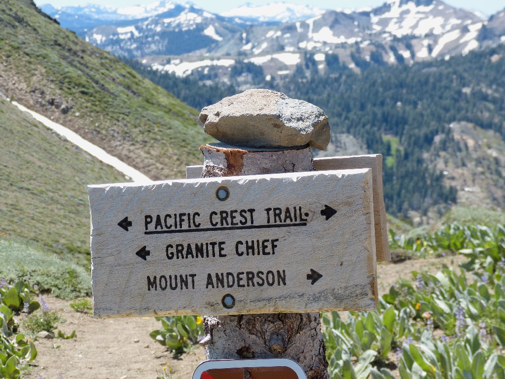
After descending into a gully, a helpful sign seemingly points the way.
Following it proves to be a mistake, for the trail leads northward and even
farther down. I am going the wrong way! Rather than retrace any
steps, I cut straight up beside the dry creek bed, regaining the road which
now is suitable only for smaller off-road vehicles.
The Coldstream Trail heading north

Getting back to the roadway
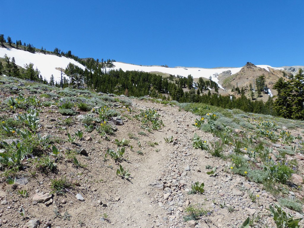
Back on the Coldstream Trail, heading south
A few switchbacks are sufficient to surmount the ridge.
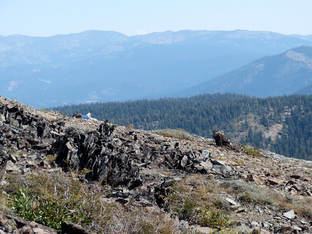
Looking south
Made it! There is a lot of neat stuff up here, including great views in every direction. Having been able to virtually 'sneak in' to this place imparts a delicious flavor to the whole experience.
This also is the Tahoe Rim Trail
Looking east toward Mount Rose
Directly south of me is the heart of Granite Chief Wilderness. Note the helicopter on the left above Needle Peak:
Needle Peak on the left, Lyon Peak on the right ⇔
The wind is gusting strongly, and because I neglected to pack anything
to wear except a long-sleeved shirt, I actually am a bit cold.
Stupid. It was nice, calm 50° at the car.
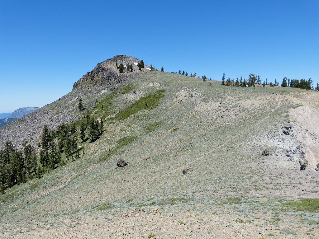
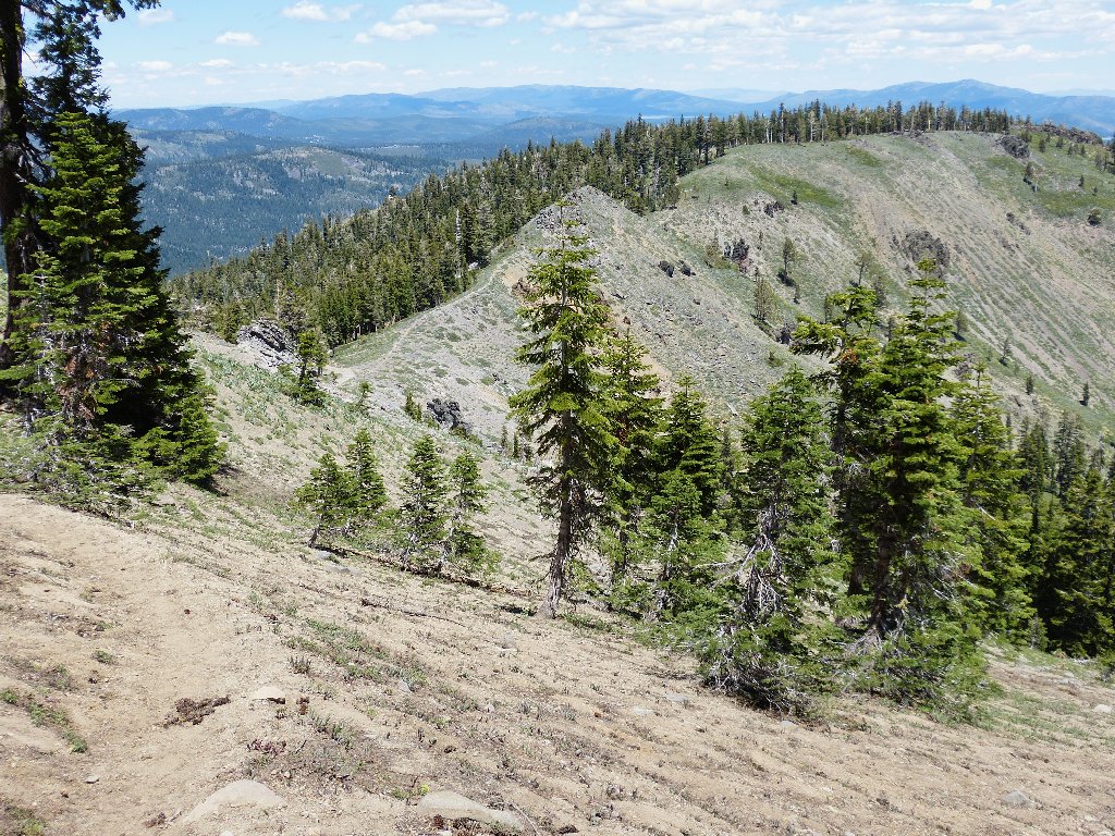
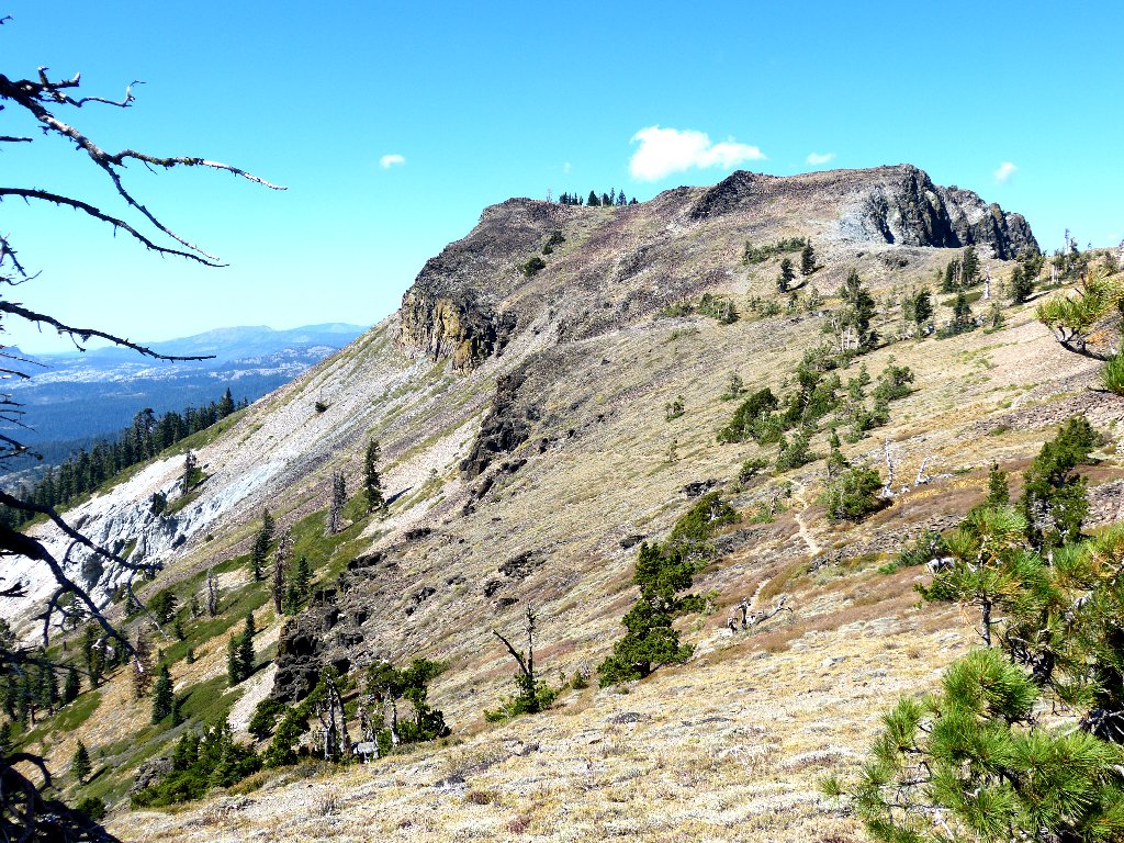
Tinker Knob to the north
Heading up the trail, I encounter an old white-haired man who already has put away eight or nine miles. He also has done my own route previously on a couple of occasions.
That guy is fit
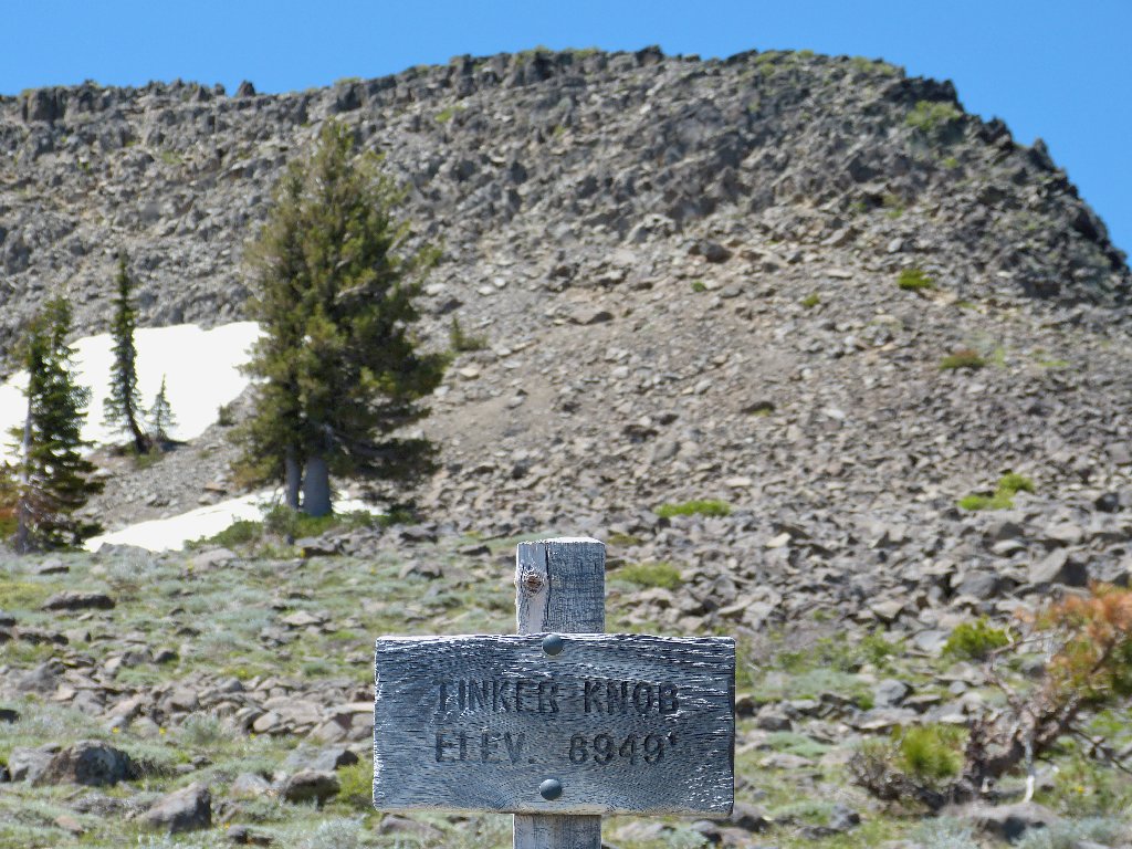
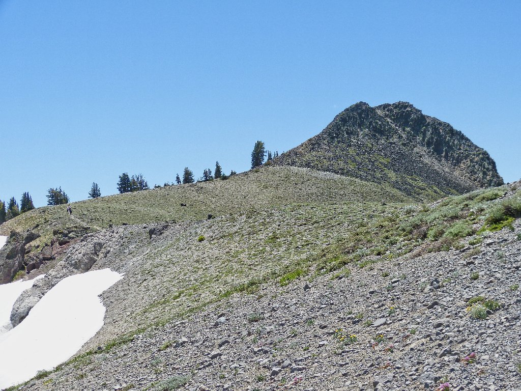
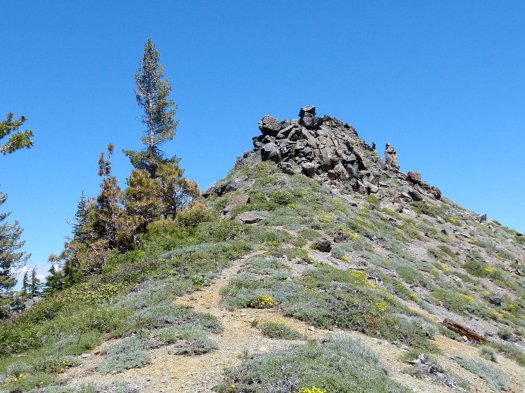
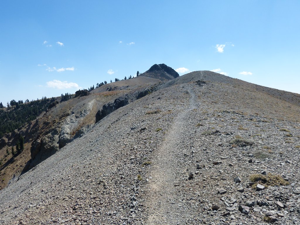
At the base of Tinker Knob
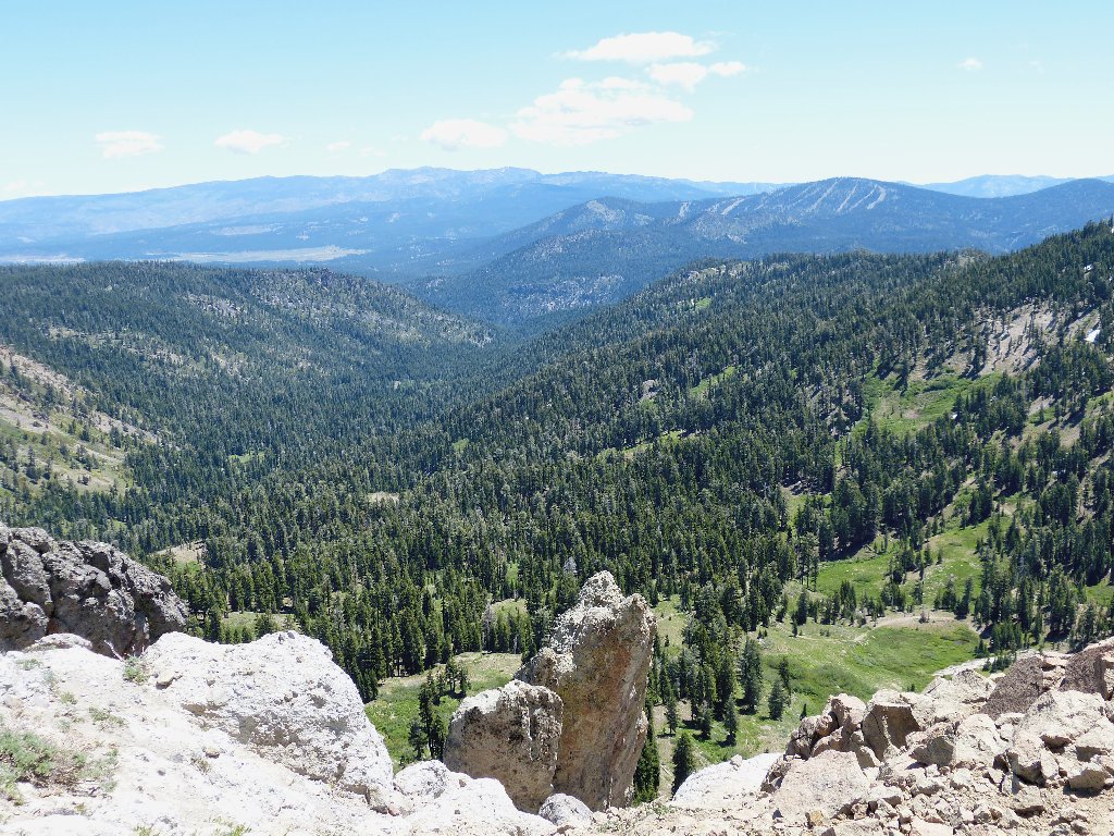
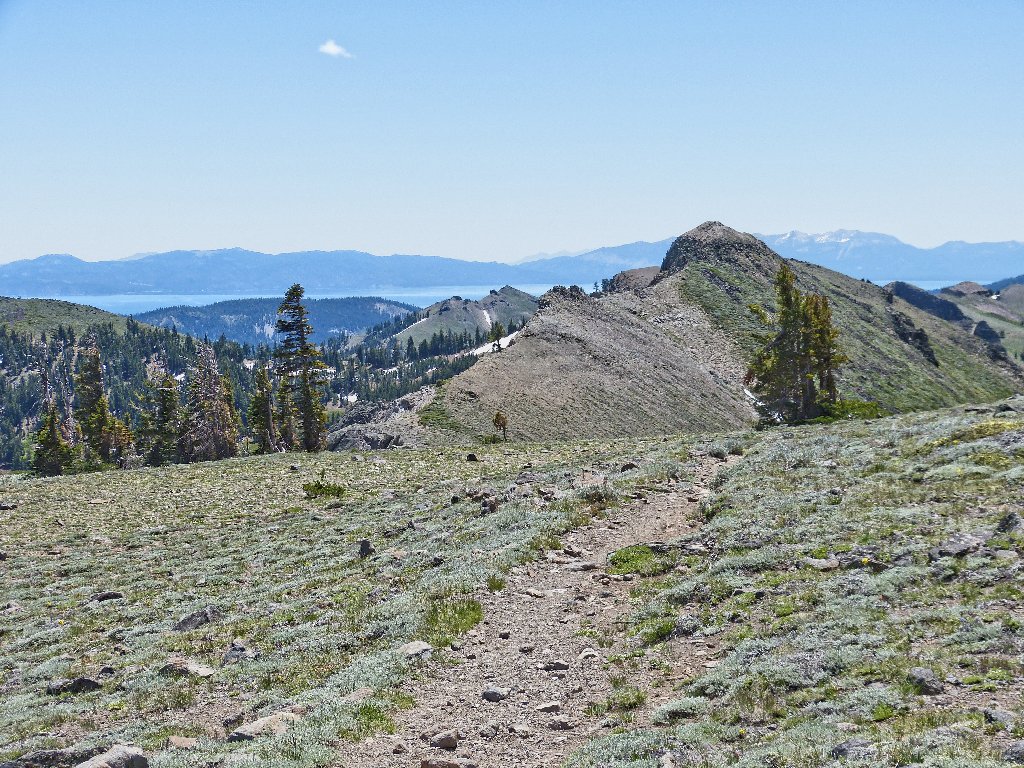
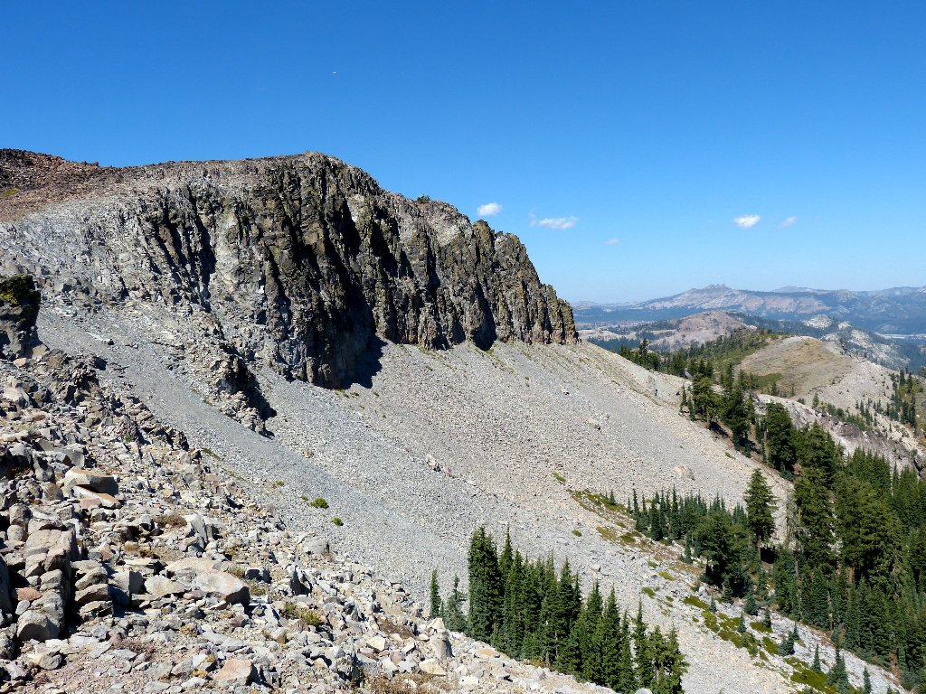
Anderson Peak is a mile away; the Sierra Buttes behind it are 33 miles away
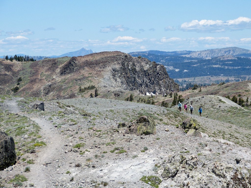
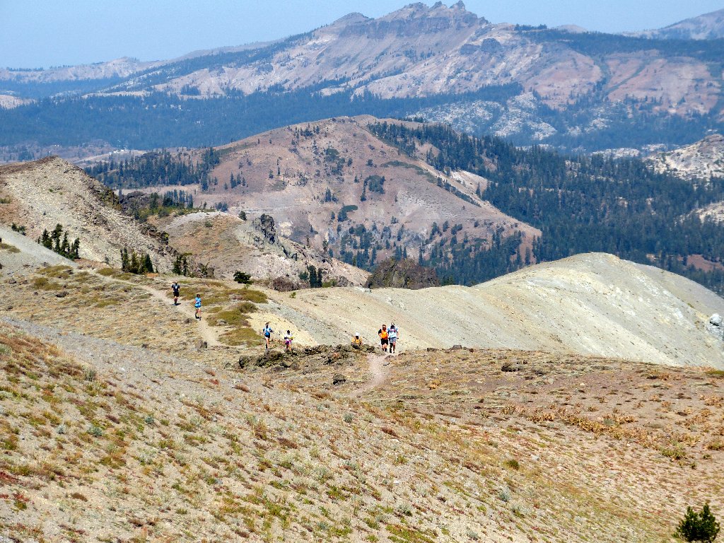
A young female foursome passes me, headed southward on a day-hike.
Perhaps they have arranged a car shuttle between Squaw Valley and Donner Pass,
for a nice 15-mile outing.
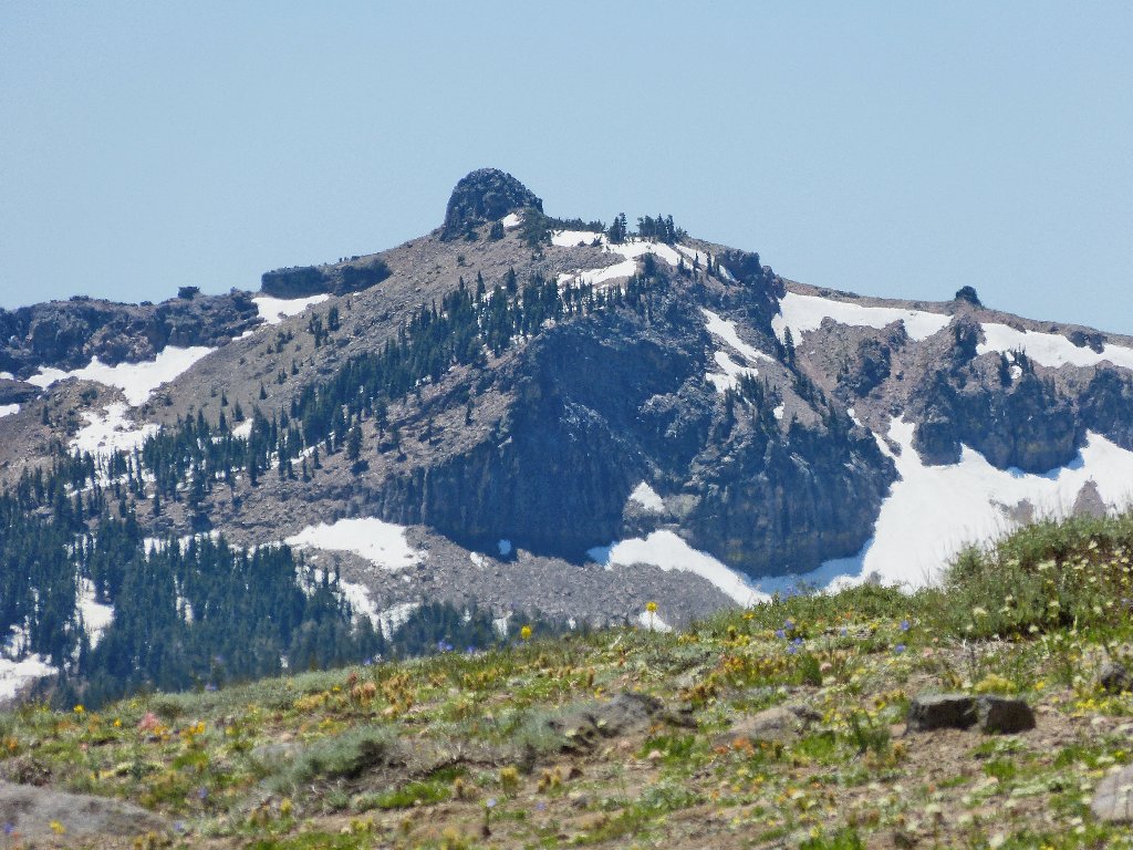
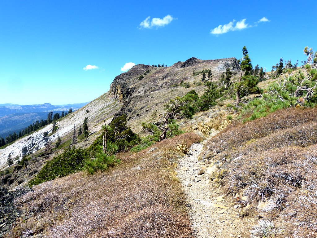
Tinker Knob looks different from each angle
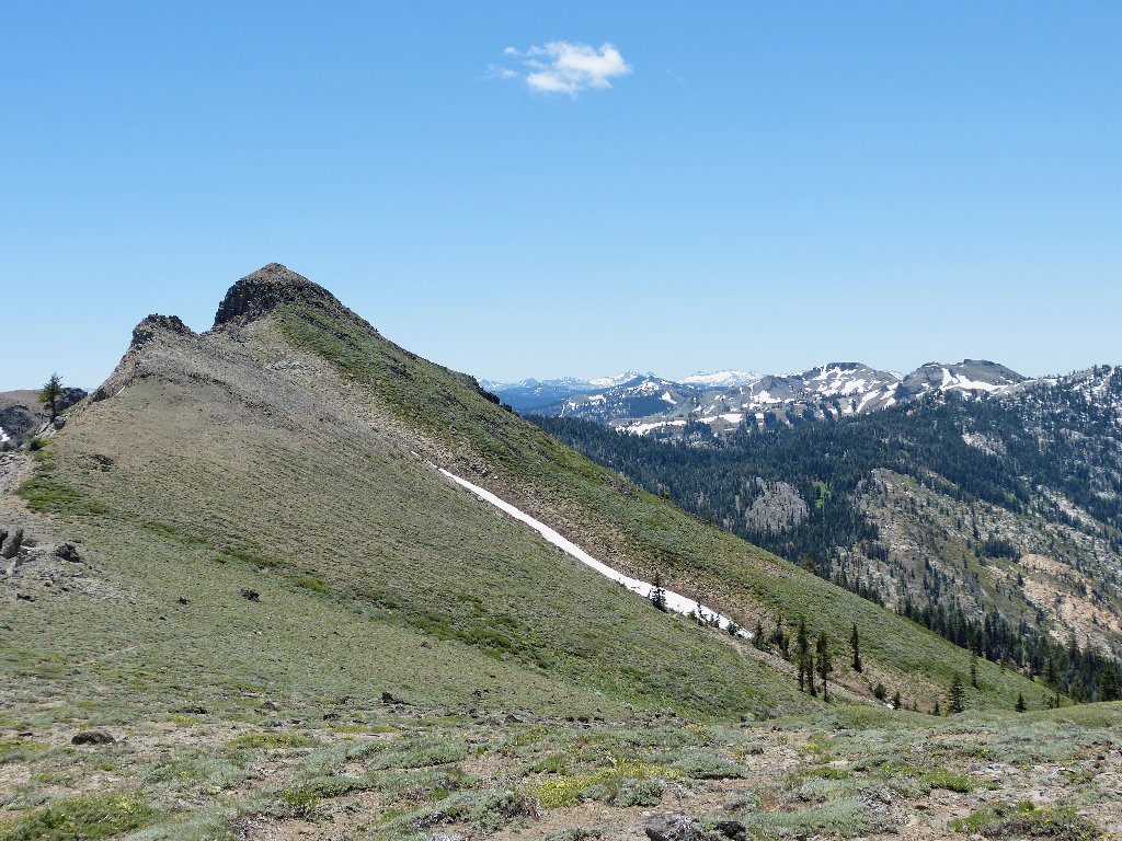
Searching my soul over whether to bother climbing the knob, I finally decide to save it for another time. It would not be that much fun in this wind anyway. Having resolved to return here soon, I decline further exploration to the north as well. Turning south, I head straight for the most interesting land formation in the area. Unfairly enough, it doesn't even have a name:
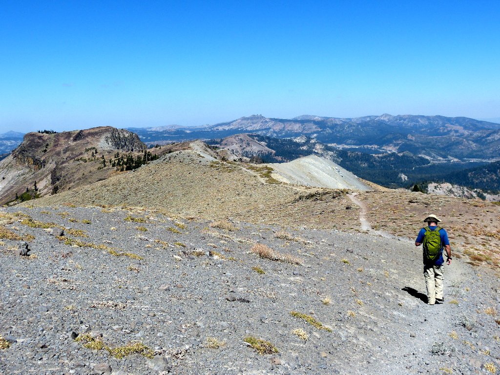
Peak 8761 overlooks Lake Tahoe
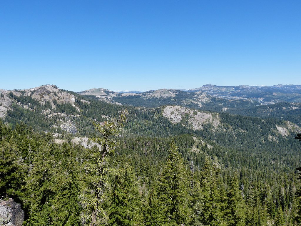
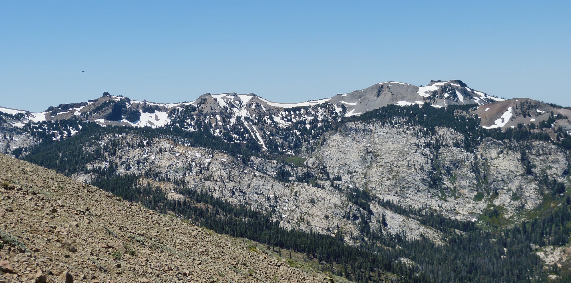
The best scenery of all today is an informative gaze into heart of Desolation Wilderness. From here, it is easy to see that that area is not yet ready for casual visitation. Pyramid Peak, the highest of the lot, is nearly thirty miles distant.
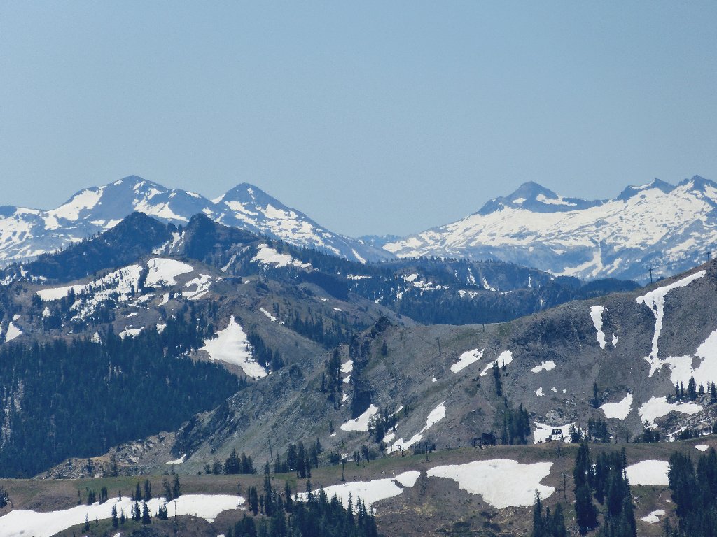
Dicks Peak, Jacks Peak, Pyramid Peak, Mount Agassiz,
Mount Price
At left-center in that photo are the darkly colored Twin Peaks. The Pacific Crest Trail goes over that way, and so will I eventually.
Close-up of Needle Peak
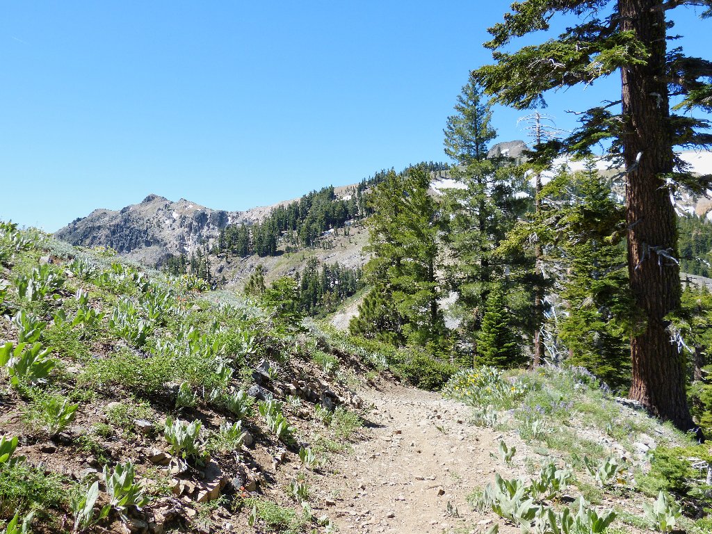
The PCT switchbacks down that slope
The Forest Service chopper passes overhead on a second run, heading back toward the Granite Chief area:
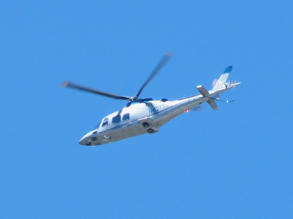
Another rescue in progress?
After downing a nice peach and some trail mix, it is time to head back.
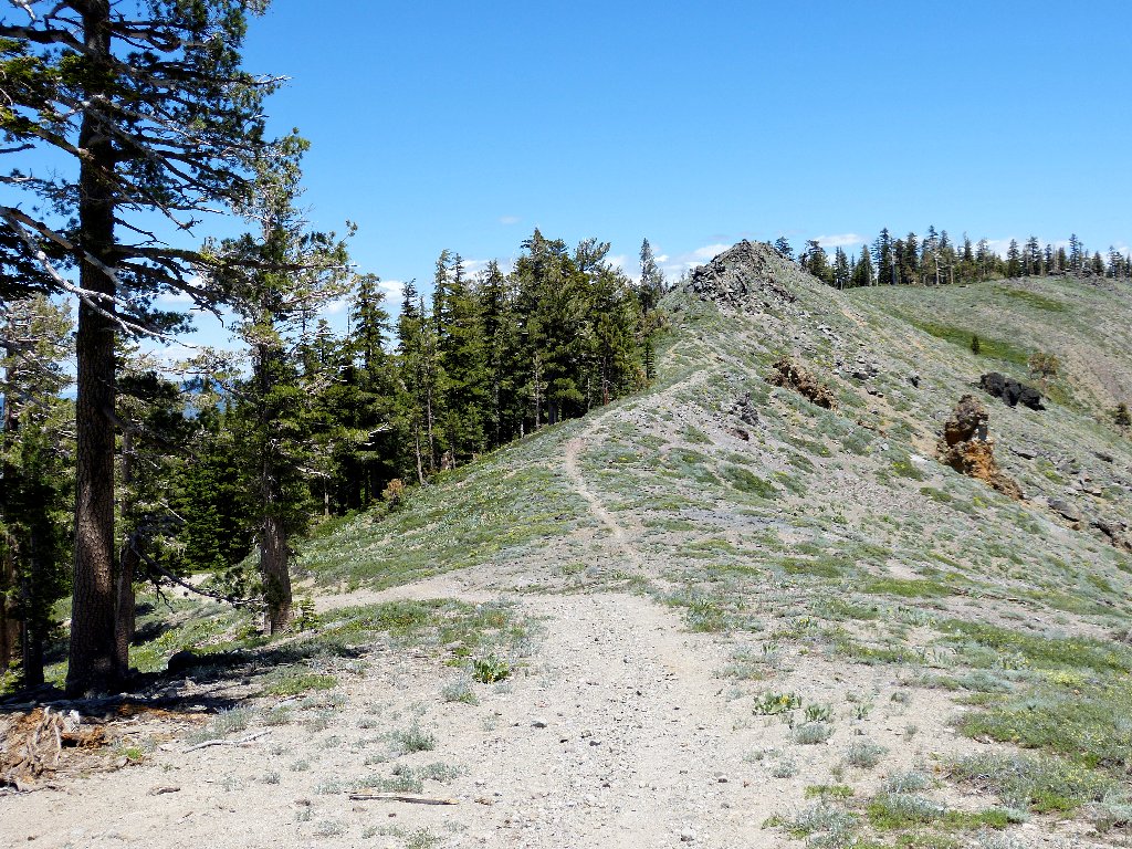
This is my exit
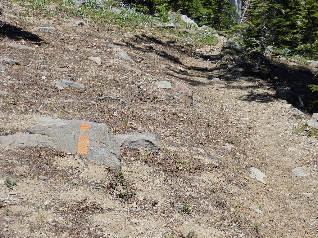
A rare old-fashioned blaze
My car is just over the top of that hill
This time I'll not head northward on the wrong trail. Rather than descend into the gully again, however, I will try the inviting detour just ahead.
At least it doesn't go downhill
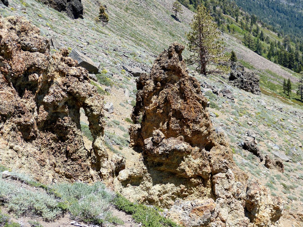
A serendipitous find
Once on the side trail, I immediately discover a type of rock formation that is relatively rare in these parts. I promptly name it after the creek that created this little canyon.
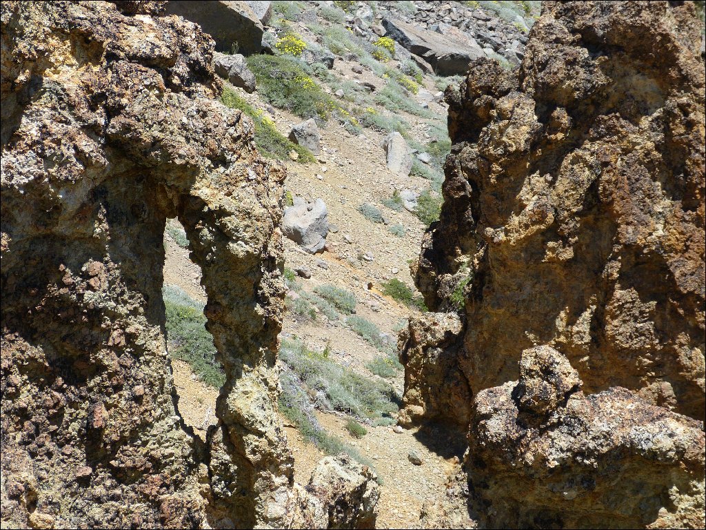
'Deep Creek Arch'
The use trail skirts the left side of the rock pile, then soon rejoins the road. Now it remains only to trudge half a mile, then locate the car via a cleverly saved GPS waypoint.
Shortcut
§: What a fun outing! The access roads proved friendly, and a real walking trail was available the rest of the way. That I did not climb Tinker Knob and did not visit Anderson Peak are good reasons for revisiting this place soon, and I will. Also, I resolve to search even more diligently for shortcutting opportunities elsewhere.
Quite by accident, I found a different route back to the highway. It was not as interesting as the way in, but it was somewhat easier on the car and seemed shorter overall. Perhaps I'll detail a map of the roads after my next visit. Meanwhile, it should suffice to follow the signposts flagging the OHV Route.
| Scenery |  |
| Difficulty |  |
| Personality |  |
| Adventure |  |
| Solitude |  |

REPRISE
Three months later, friend David and I return here. This time, we venture over to Anderson Peak.
Ubiquitous Castle Peak overlooks a multitude of hikers
David starts down the Pacific Crest Trail
Getting closer
At some point, it seems right to cut off the trail in order to avoid losing a lot of elevation. The scree is a bit hard on the feet.
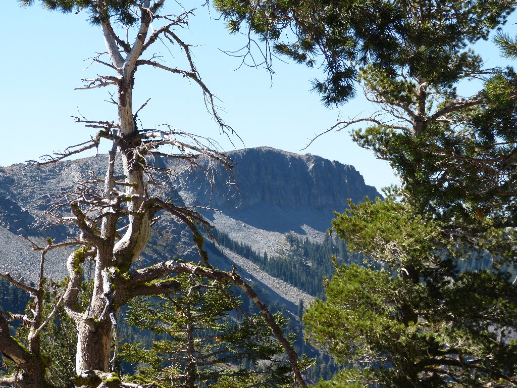
The eastern face of Anderson Peak
It is time for the final push; but David, who has a very sore leg, opts to wait here. Not knowing what route is best, I clamber straight up to the right of the big lava outcropping. After the usual several stops to catch my breath, I reach the summit. Chalk up another OGUL peak.
Atop Anderson Peak, looking west
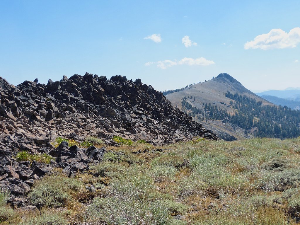
Tinker Knob to the south
For my exit, it seems easy enough to head down on the other side of the big lava jumble, and that proves to be the best way to go by far. I'll know better next time.
David hasn't missed me a bit
On the return, we scurry down to the trail as soon as is convenient. The additional climbing is offset by a smoother pathway.
Looking back
Still some climbing to do on the PCT
Last view of Anderson Peak
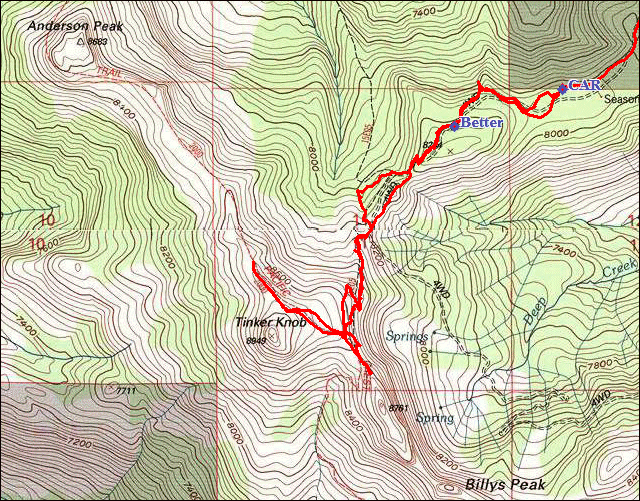
As promised, I have prepared a map of the access road. The more
northerly approach on FR-01 (TK-P) is perhaps the easiest way
to go, but the older formerly paved FR-18 (TK-B) off the
landfill road is more scenic and more fun. I recommend that you go
in on FR-18 and out on FR-01.
⇔
