
Desolation Wilderness
|
Ralston Peak Desolation Wilderness |
June 16, 2013
Some forty years ago, my late wife and I tackled this trail. Midway up the mountain Pam became ill, so we abandoned the attempt. I never did return, until now. Instead of parking beside the highway along with all the others, I drive up the little road to the actual trailhead. This maneuver saves about a hundred feet of climbing.
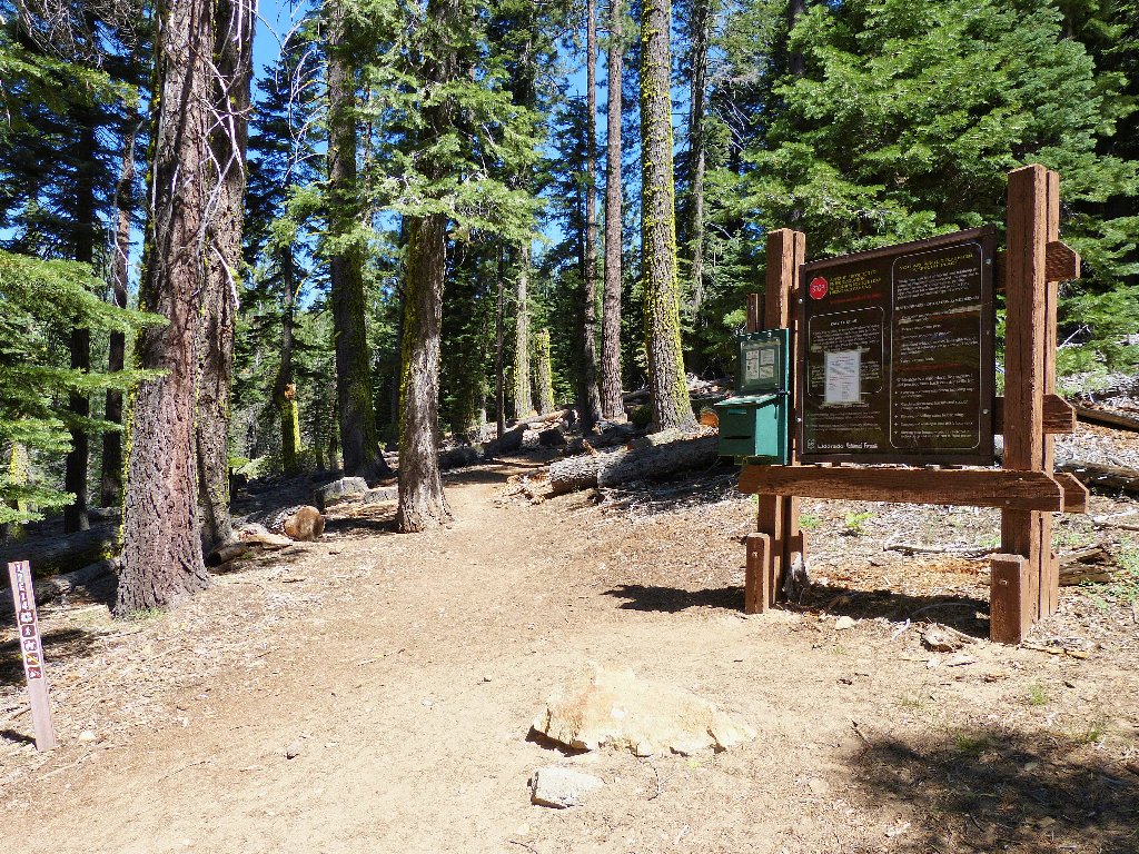
At the trailhead
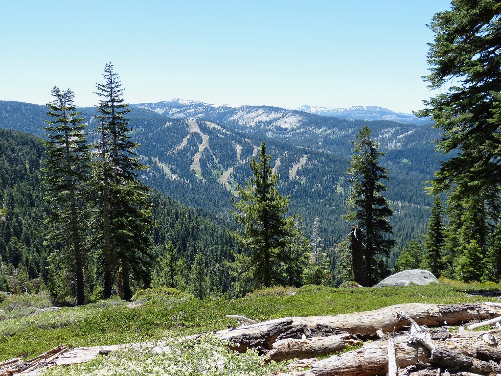
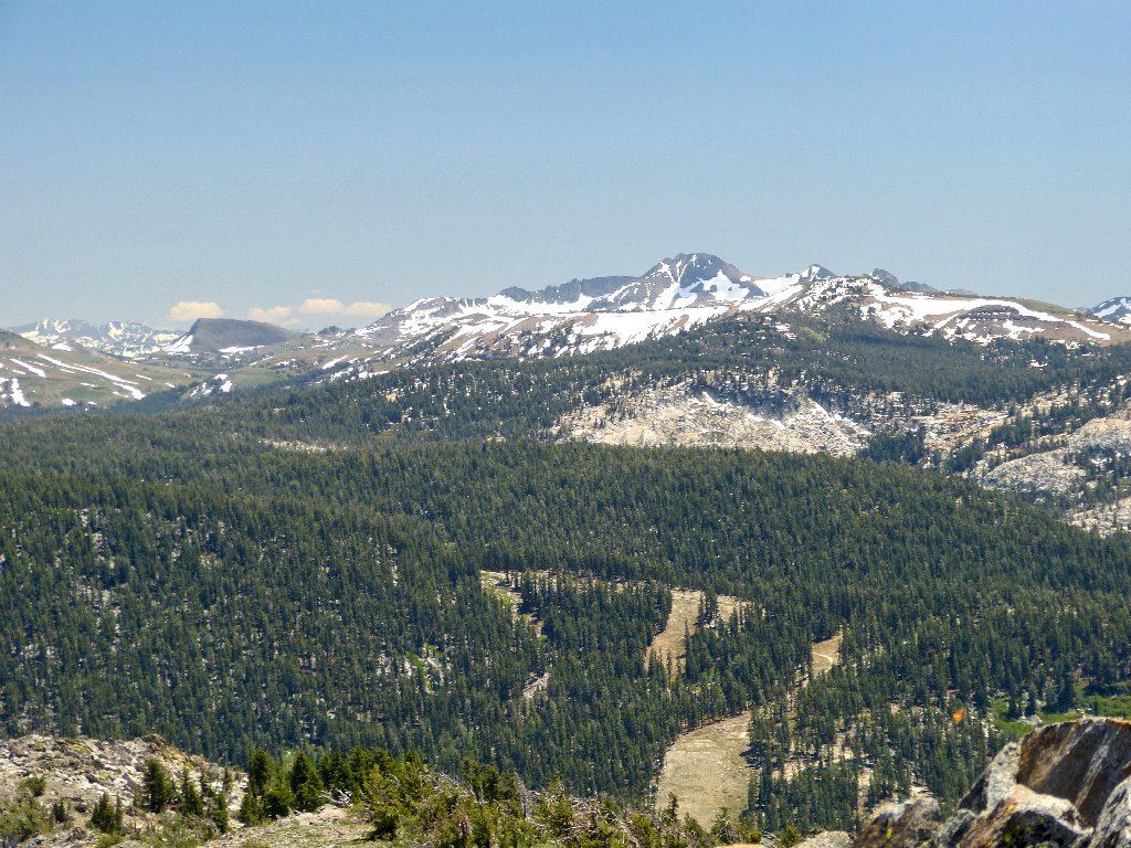
The first view is of the Sierra at Tahoe Ski Ranch
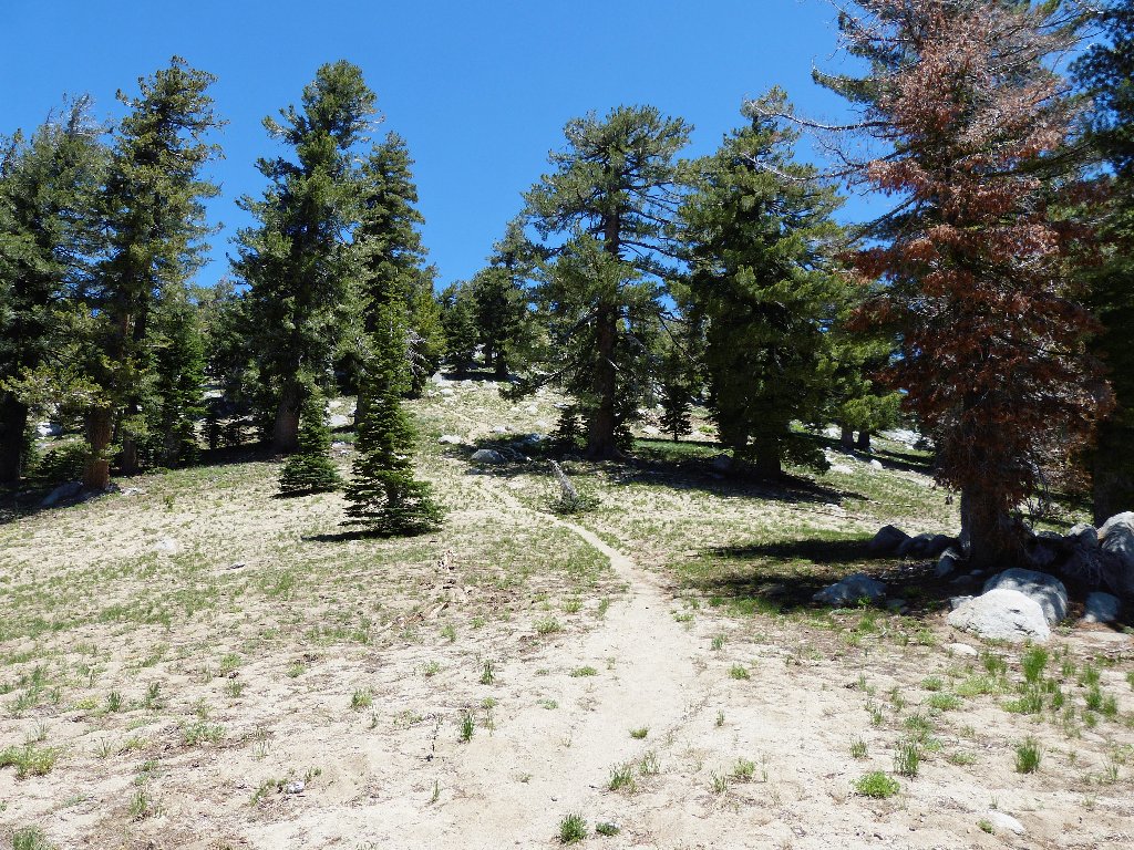
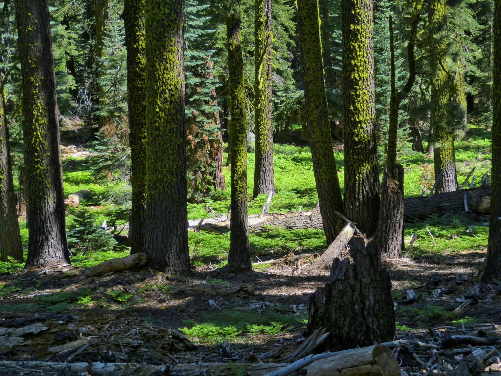
The going is pretty steep throughout — easy enough in the the forest,
then quite rough through a manzanita-laden hillside. This section
rates to be even more difficult on the return. At a trail junction not
shown on the map, I opt for the well-used right-hand fork which
heads straight up the hillside and directly toward the mountain.
Shorter but steeper
Naturally, the increased gradient calls for many additional rest stops. 900 feet to go, then 600 feet, then 400 feet; I'm getting there. Eventually, I achieve a ridge top, where some spectacular views await me.
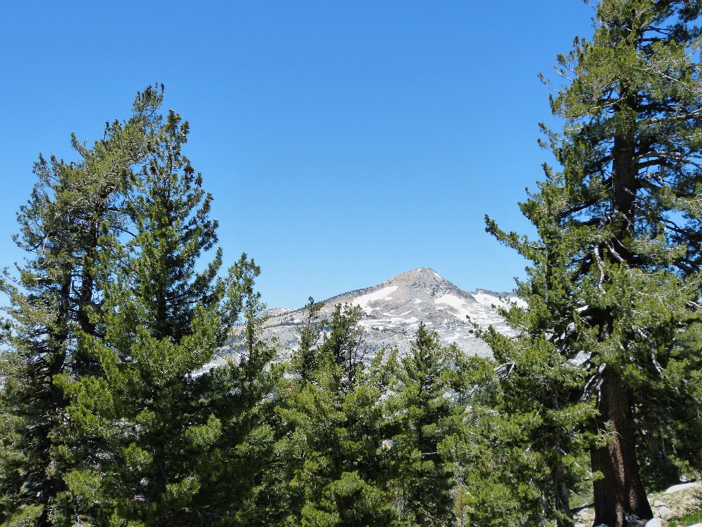
Pyramid Peak, highest in this wilderness at 9984'
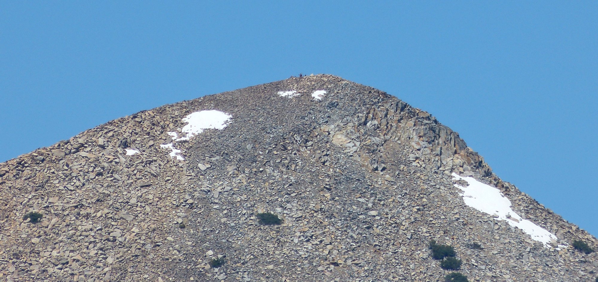
There are quite a few folk at the summit ⇔
Adjacent to Pyramid Peak is one renowned for its unusual summit block.
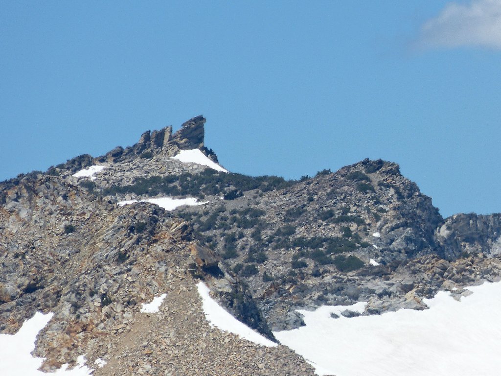
Mount Agassiz, 9967'
There still is work to be done. Little pieces of trail lead all over the place; but it seems right to veer left here, and that proves to be the right choice.
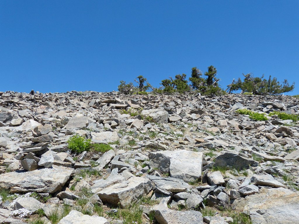
There should be a way around this rock pile
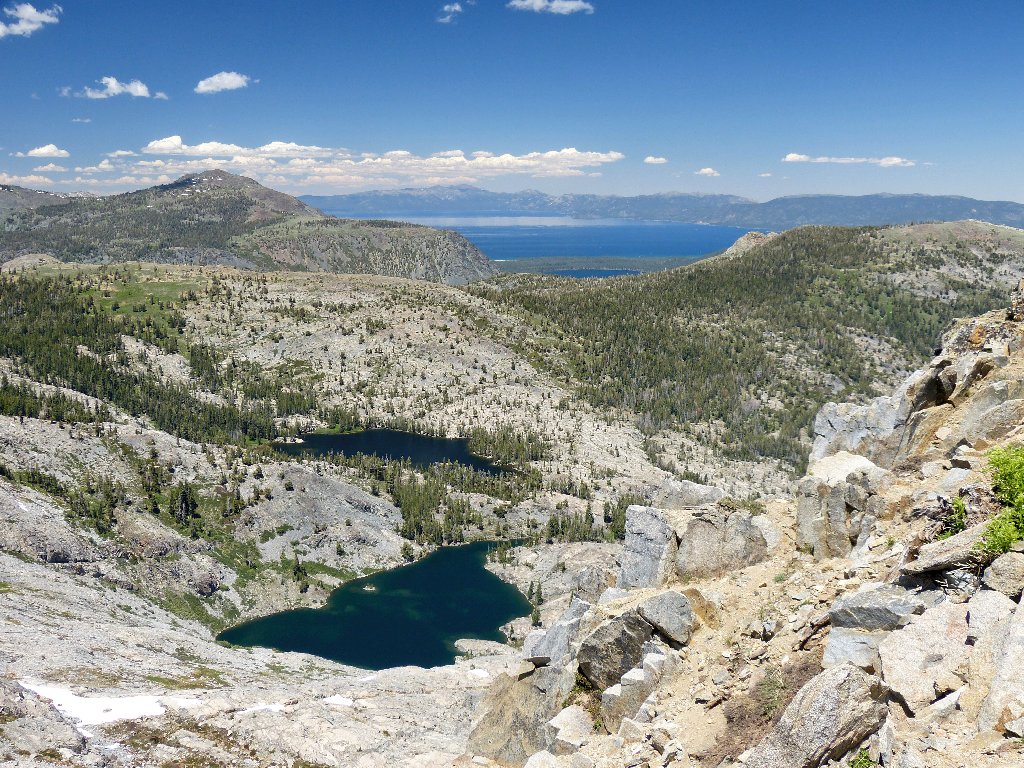
Suddenly, I am stopped dead in my tracks. I knew that this vista was coming, but it takes my breath away nonetheless.
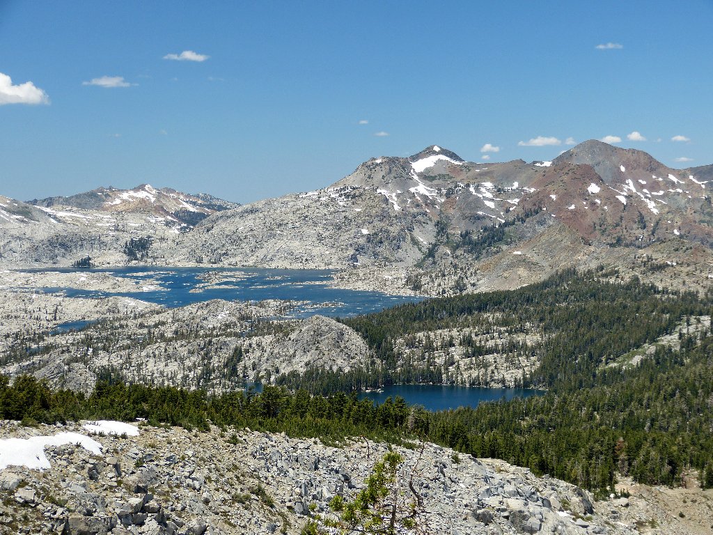
Desolation Valley: Lake of the Woods in front,
Lake Ahoha behind
It is only now that I also get a first view of the peak itself. Two other hikers are up there right now.
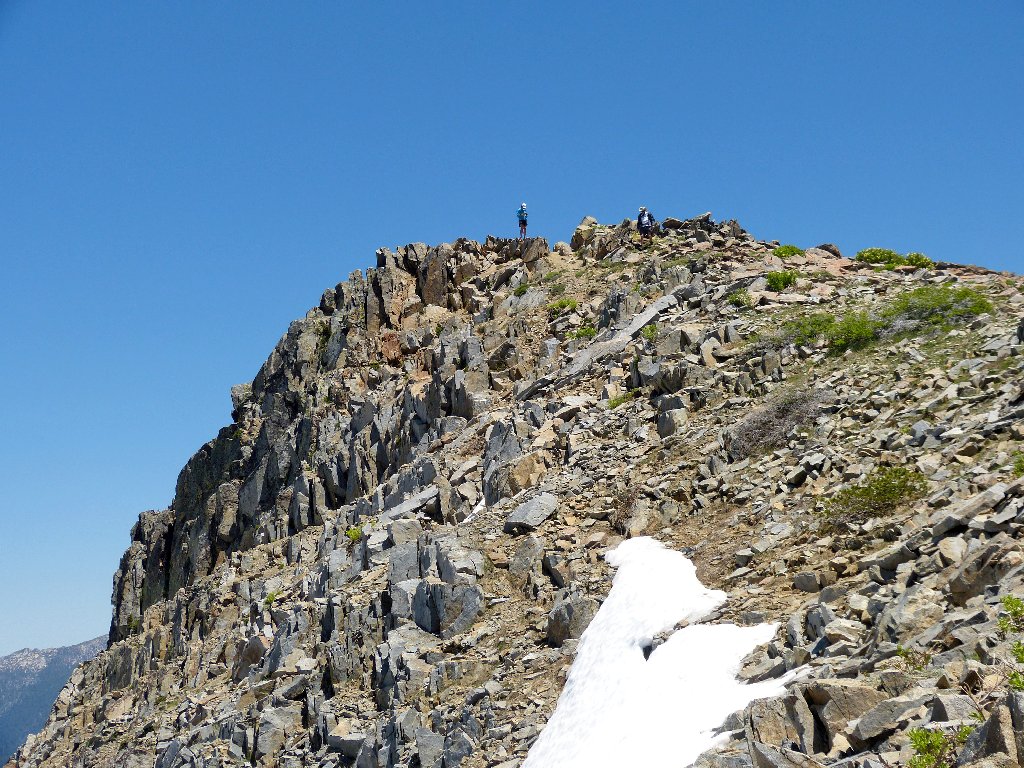
Ralston Peak, 9239'
At the summit I meet Elke, who is training for a solo assault of the
John Muir Trail. Starting from Tuolumne Meadows, she plans to do
the two hundred miles in just eight days — and with a
30-pound pack! Anymore, I couldn't keep up that pace for
even a single day.
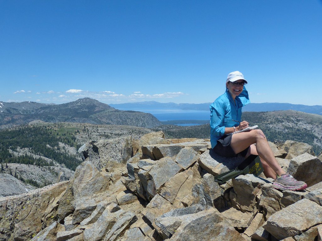
Elke signs the summit register
Promising to keep in touch, Elke departs, virtually running down the talus slope. For most of the next hour, I and the resident chipmunk have the place all to ourselves.
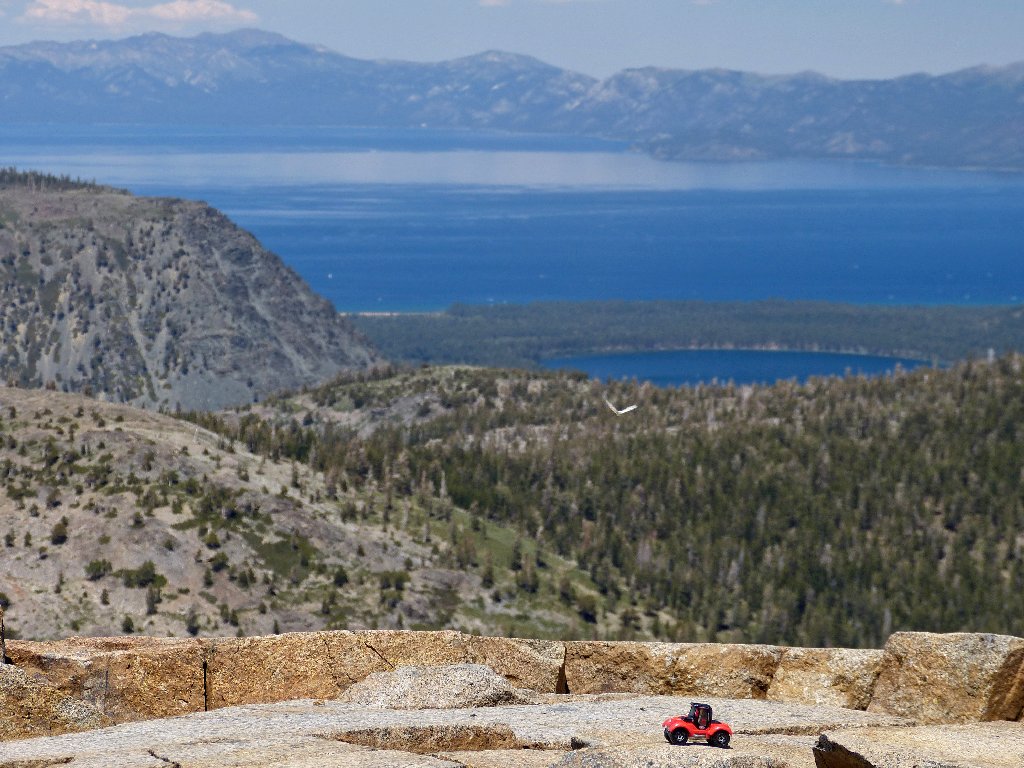
The ever-spectacular Lake Tahoe is 3,000 feet below
Nearby are two interestingly named lakes. Cup Lake cannot be seen from here, but the other one is peeking around the side of the hill.
Saucer Lake
After munching some gorp and a few sour grapes, I shoot a 360-degree
panorama for posterity. In the west, I even can see Mount Diablo;
but it does not photograph well through the smog.
Round Top dominates the view southward, as usual
I estimate that approximately one-fourth of Desolation Wilderness is in view from here.

This is why I go hiking ⇔
It is necessary to scamper down a few yards from the summit in order to photograph a couple of the nearest lakes.
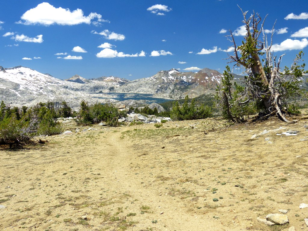
Front to back: Ralston Lake, Tamarack, Fallen Leaf, and Tahoe
Rather than plunging back down the route I ascended, I will return via the mapped trails. Although that will add more than half a mile to the total distance, it should be easier and more interesting that way.
yed, thuis trail is more scenic
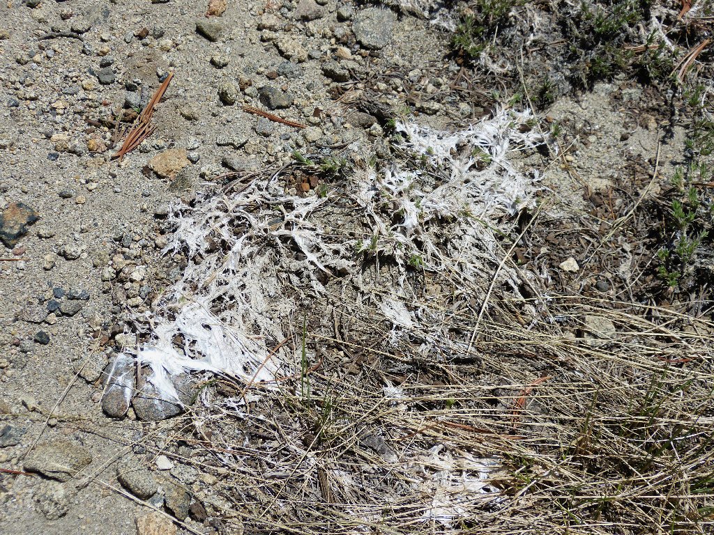
Mysterious stuff
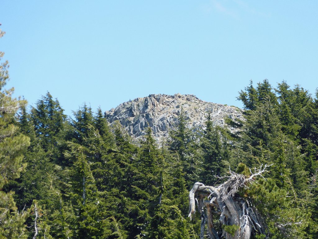
Last view of Ralston Peak
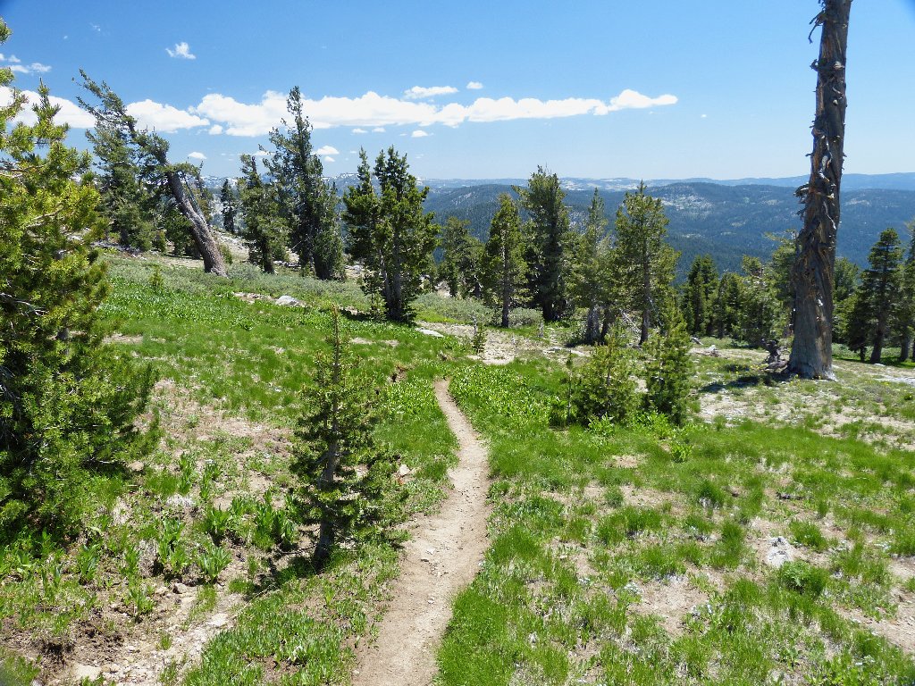
It is greener over here as well
Presently I encounter a nice little stream, which is draining the snowdrifts near the summit. This is a perfect place to replenish my depleted water supply.
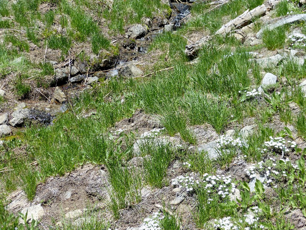
Fresh water and fresh phlox — a great combination
Somehow I never do seem to revisit the junction where I headed straight up the mountain. Eventually I encounter the dreaded steep and slippery section of trail through the manzanita patch; farther on the afternoon shadows start working their magic, making everything look prettier.
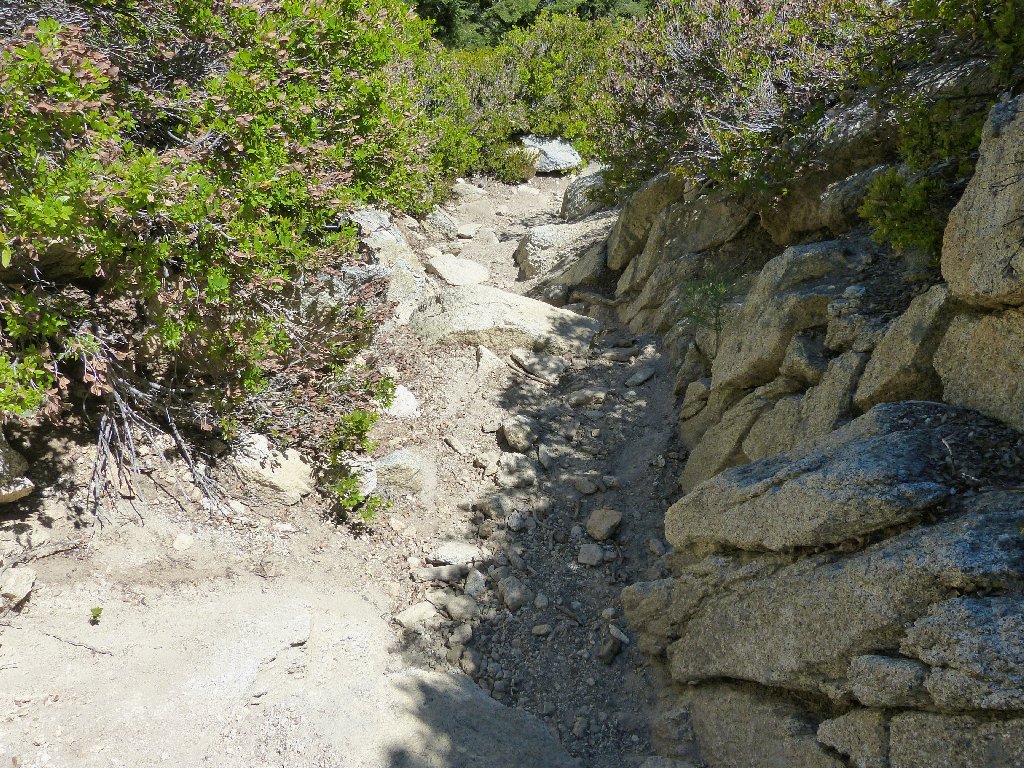
Rotten trail
Lush ferns
§: Well, I still don't understand what happened to that elusive
trail junction; but it hardly matters. The longer return route definitely
was easier despite some extra ups and downs. In any case, this hike isn't
about the trail, which is relatively boring. The views from the ridge top
are to die for. All things considered, the summit of Ralston Peak could
well be the finest viewpoint in the northern Sierra.
One also could save eight hundred feet of climbing by choosing to hike up from Echo Lakes instead. I have another future plan for that particular route, though.
| Scenery |  |
| Difficulty | |
| Personality |  |
| Solitude |  |
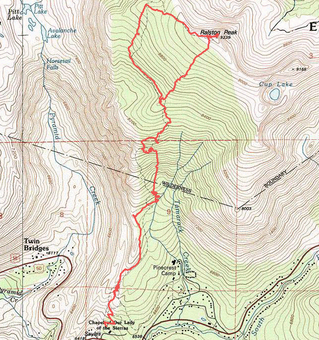
My GPS track digresses strangely from the mapped trail in a number of places. Either my Foretrex has gone haywire, or there have been significant route changes over the years. (Note: these changes in trail routing were reaffirmed on a subsequent hike.)

ADDENDUM
On this hike I had stashed a brand-new walking stick behind a log about half a mile from the trailhead, then had been unable to locate it on the way back. I returned to hunt for it a couple of weeks later, with no luck then either.
Two years later, on June 5, 2015, I repeated this hike with three friends. While reiterating the story of my misplaced stick, I happened to glance behind a likely fallen log, and there it was!
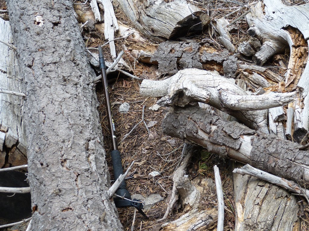
Some of the rubber handle seems to have been chewed on by a critter,
but the internal workings remain fully functional. The disappearance
of some black paint actually has left the copper-colored aluminum
shaft better-looking than before.
This is perhaps the most unusual thing that has happened to me on a hiking trail.
 |
September 2021: The entire southern side of the ridge is burned, up to the summit. |
