
Tahoe National Forest
|
Palisade Creek Trail Hunt Tahoe National Forest |
June 14, 2013
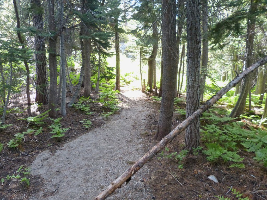
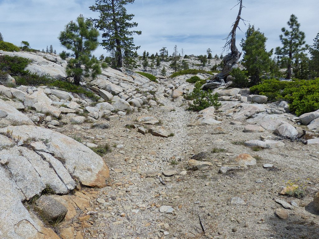
Upon arriving at the trailhead, the first thing I notice is the the signpost is different from the one my wife and I saw here six years ago. It seems to have been completely reconstructed; perhaps the old one fell down.
This area does get quite a lot of snow. It is in the middle of the
Royal Gorge cross-country ski area which, according to my reading,
is the nation's largest such complex. On the way in I passed a huge
ski lodge and a couple of warming huts.
It also is quite cool this morning — a mere 49 degrees with
a slight breeze; so I bundle up a bit, knowing full well that later I will
regret having to carry around the extra clothing.
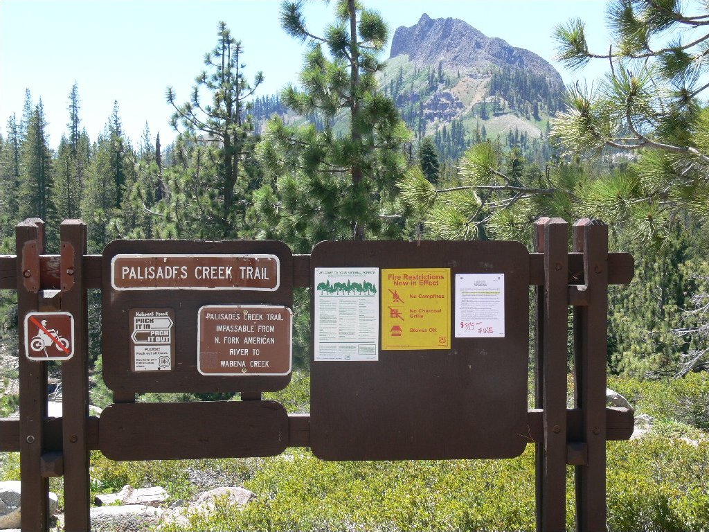
The trailhead sign in 2007
What it has morphed into
Moving this sign across the dam did not improve its condition
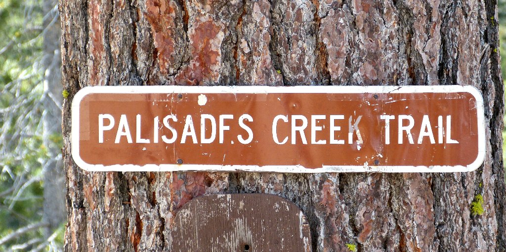
There are spelling anomalies around here. It is Palisade Creek, and it's Palisade Lake, and it's the Palisade Creek Trail on the older signpost; but the newer signpost and newer topo map show Palisades Creek Trail, which clearly have resulted from clerical error. I'll honor the original name, of course.
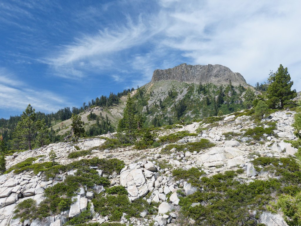
And there's the palisade itself — Devils Peak
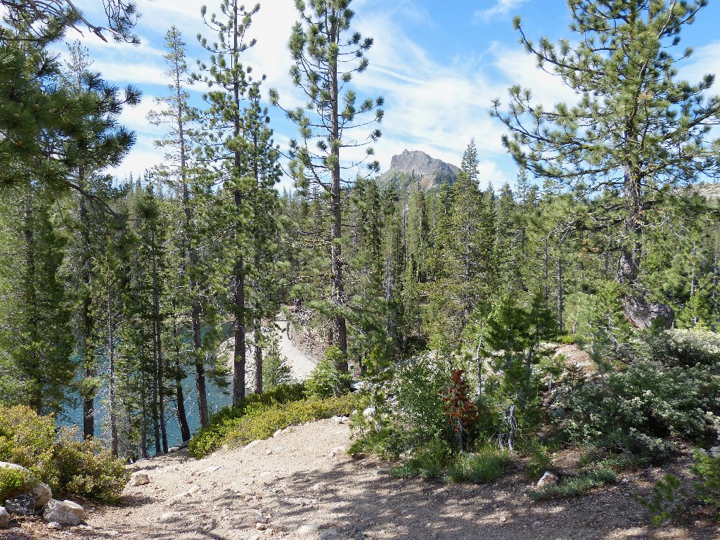
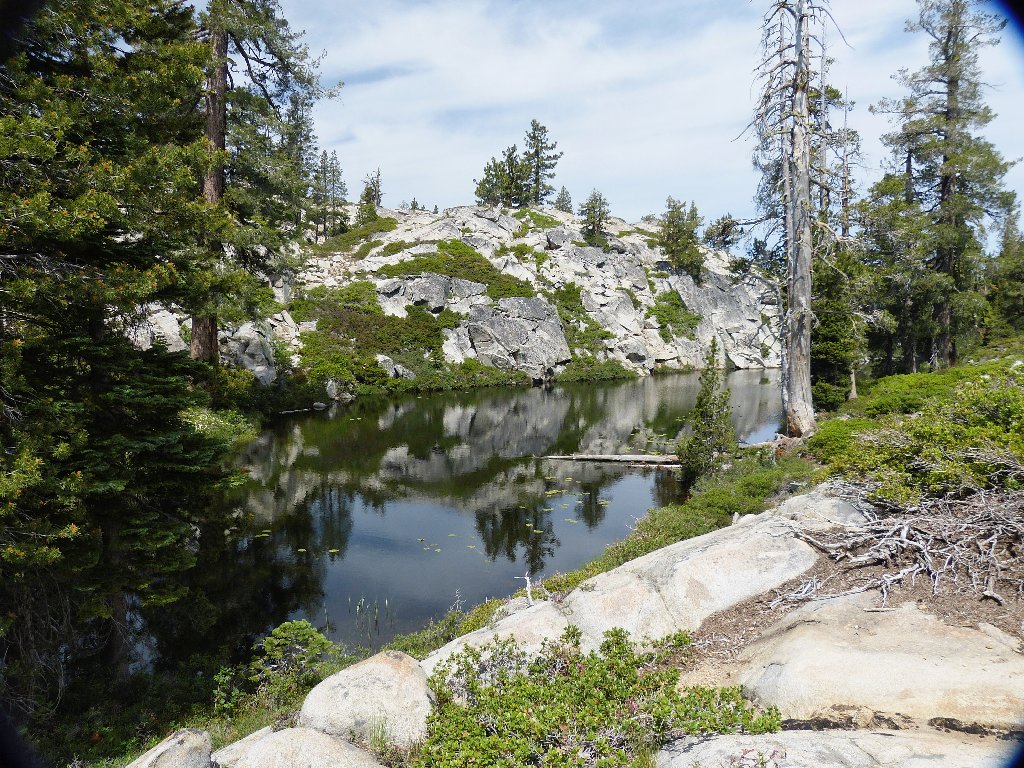
A steep fifty-foot descent gets me to an earthen dam; below it and to the right is another lake.
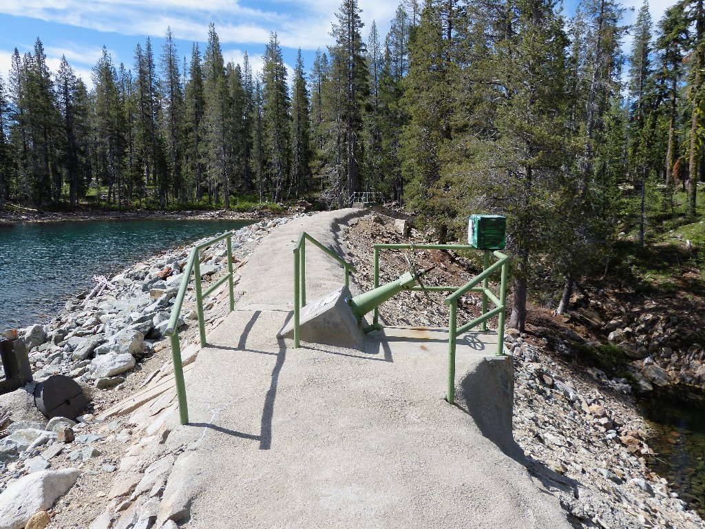
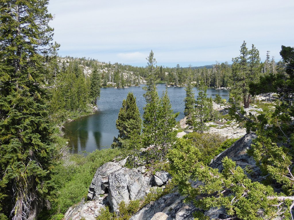
This dam separates the two Cascade lakes
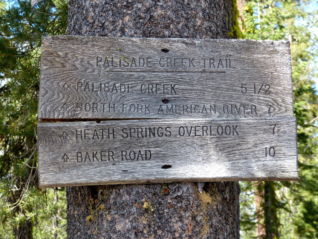
This older sign is spelled correctly
Bummer. I had thought possibly to visit Heath Springs today, but
the indicated mileage is quite a bit greater than I had estimated.
Also, the trail is supposed to lead around the right-hand side of
Long Lake; but within ten minutes I find myself at the left-hand
side. I must have missed a trail junction.
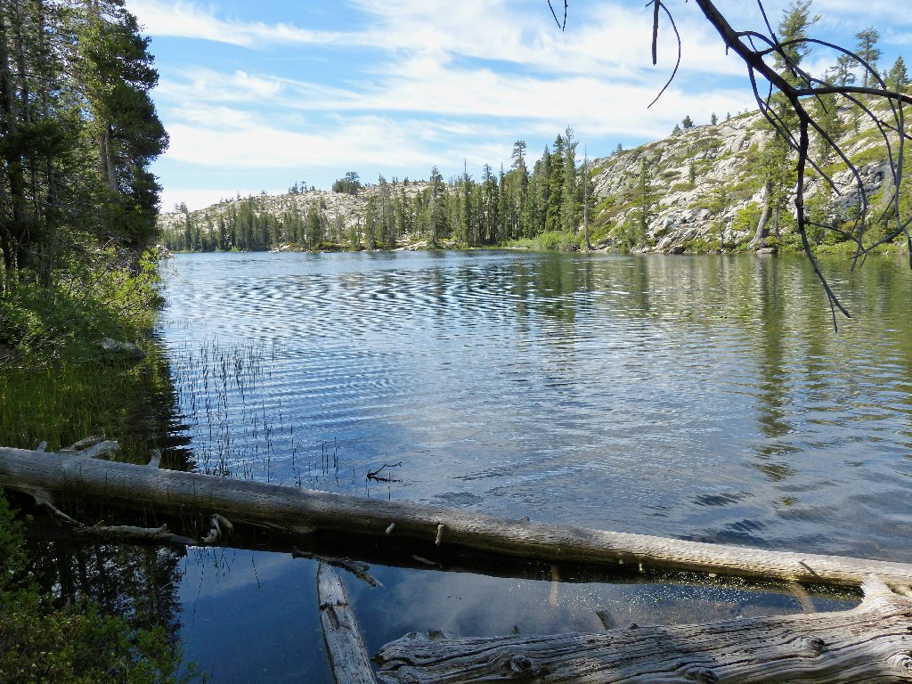
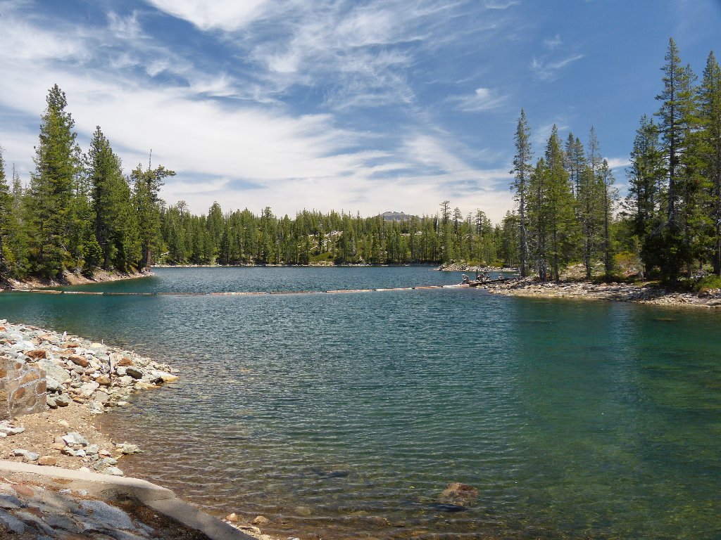
Long Lake
Being on this side of the lake enables some nice photo-ops, however.
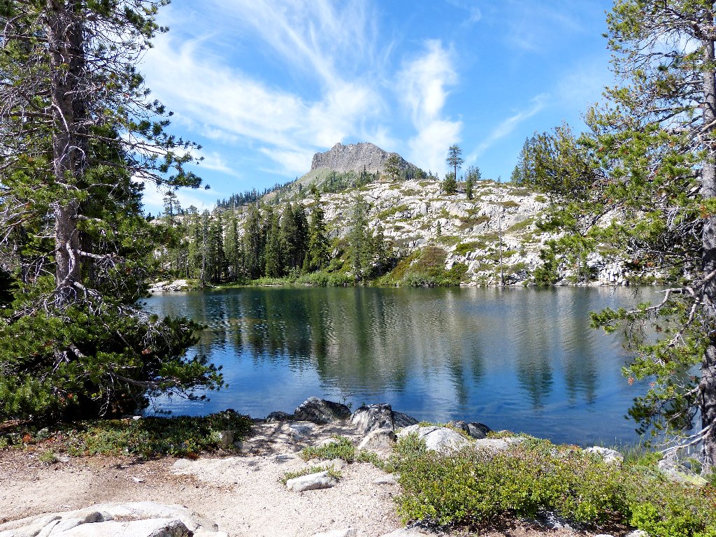
Long Lake and Devils Peak, 7708'
The trail heads southward
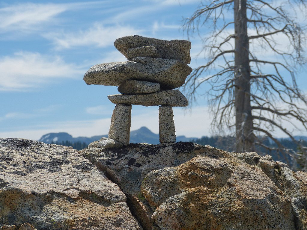
A nifty cairn frames Tinker Knob, 8949'
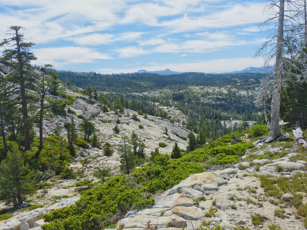
All routes seem to run downhill from here. I had not planned to head down into a canyon though, so I will turn right and scramble uphill instead.
Anderson Peak and Tinker Knob are on this year's to-do list
I believe that I have discovered a shortcut route up to those two peaks;
otherwise, it's a 14-mile effort.
Long Lake looking north
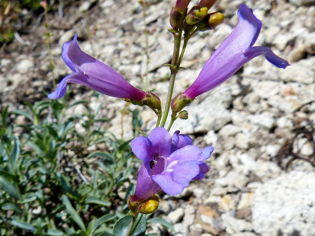
Purdy's Penstemmon
The map shows both a trail and a road west of me. Turning in that
direction, I scramble hand-over-hand up a rocky slope.
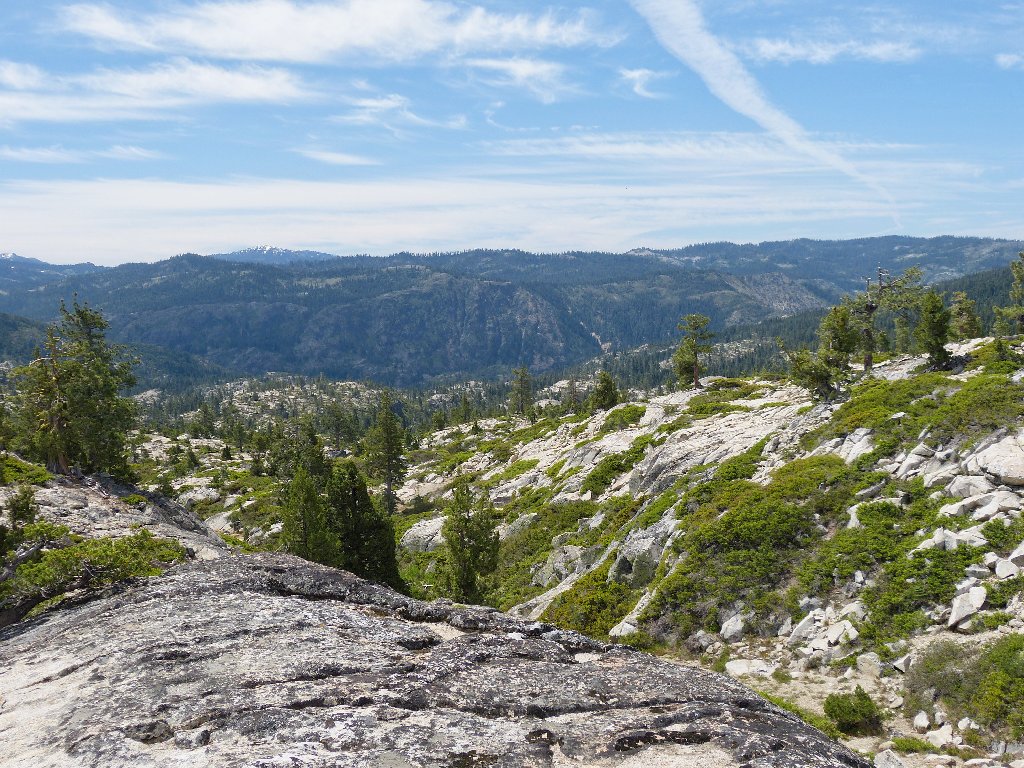
Top of the climb
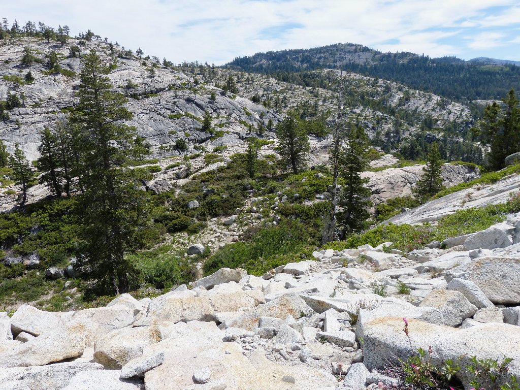
Now I must bushwhack my way down down into a gully and climb yet another rock pile on the other side. Sometimes this sort of going is tiring; but today, nothing is very deep or very steep, so it's a breeze.
Actually, negotiating the terrain is a lot of fun
They tell me that Devils Peak can easily be climbed from the
south-side (left-hand) slope.
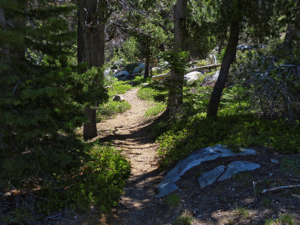
Presently I do run into the Palisade Creek Trail, so I might as well use it.
Looking north

Looking south
There are more than a dozen ponds in the area. The first one I encounter is worth a number of photographs:
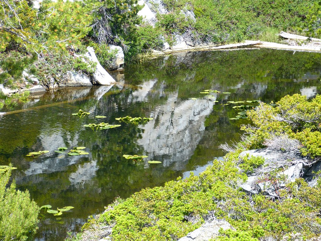
It just gets better
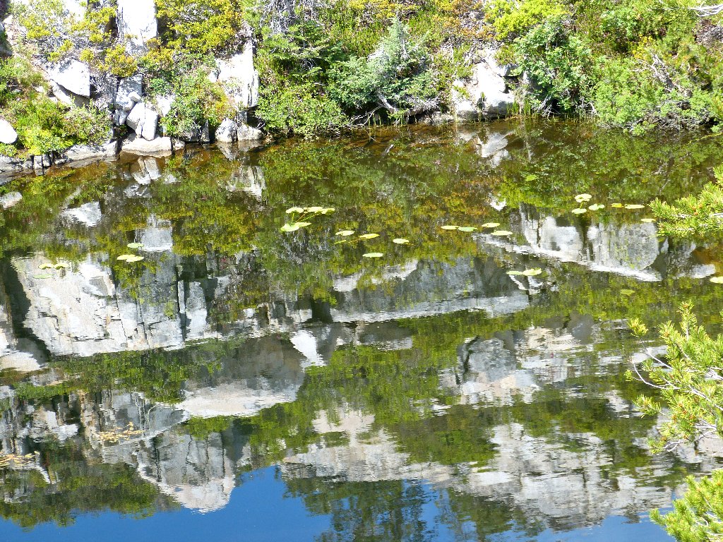
...and better
While taking a little detour, I encounter the most flagrant and unattractive trail locator that I can remember. Why is it here? I suspect that it marks one of the ski trails, but wouldn't that painted rock probably be covered by snow in the season?
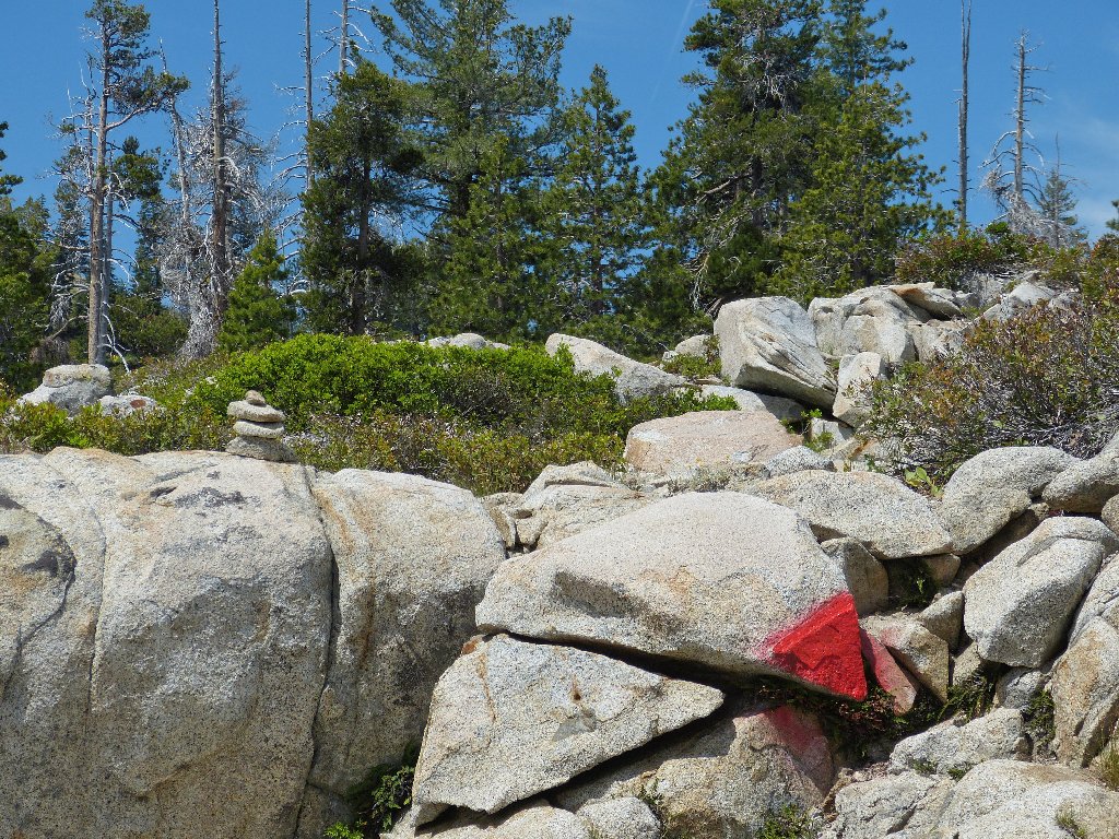
Someone really wants someone else to know the way here
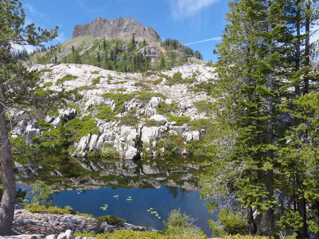
It is time for a lunch stop. Another big pond lies just off the trail to the left; so I head over there. It is so pleasant here right now that I hang out for nearly an hour, munching gorp and being thankful that no mosquitoes are around today. I presume that their season has ended at this lesser elevation.
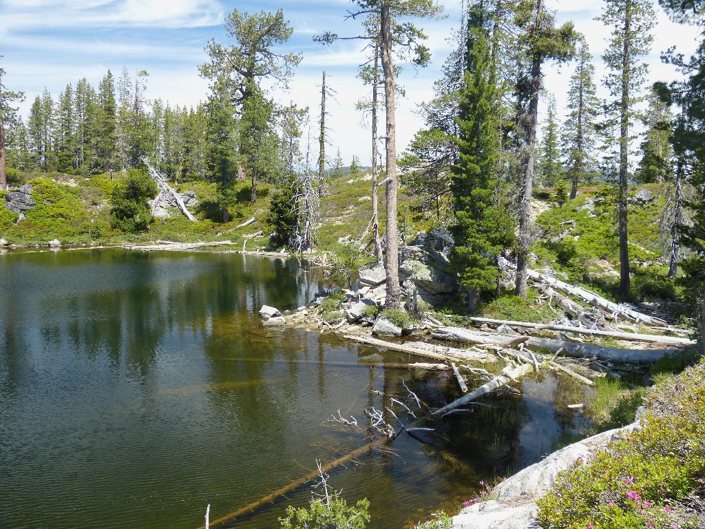
I have the place to myself
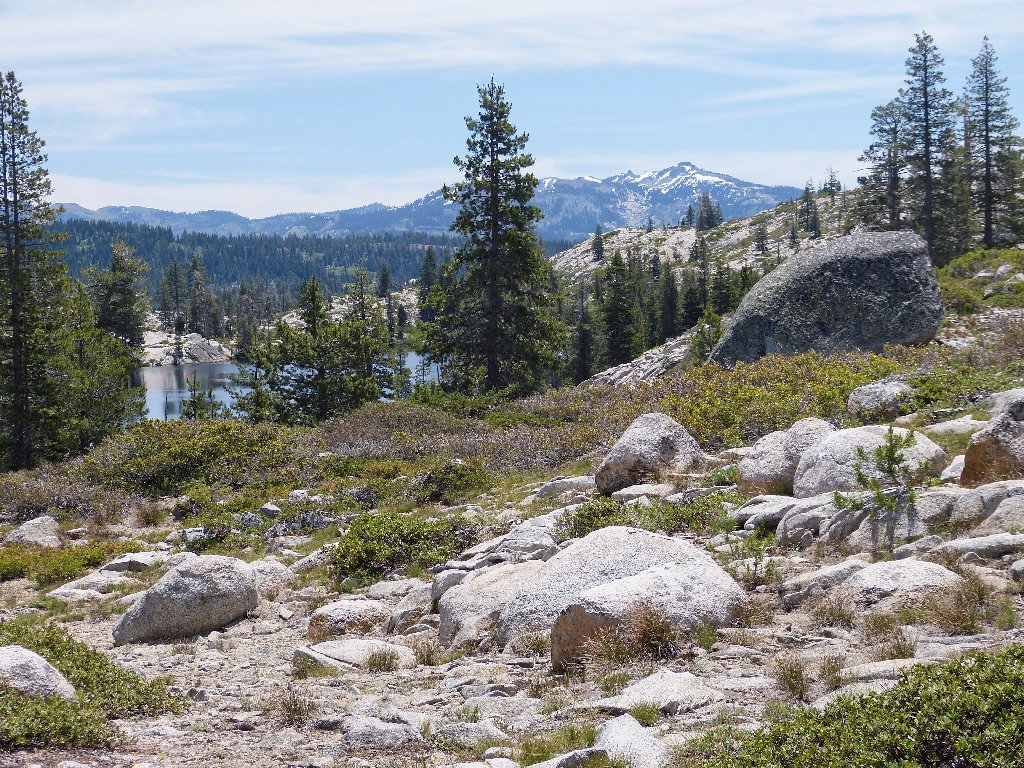
After lunch I press on. Normally I would do more exploring, but a pressing shopping issue back in town is nagging me.
Last look at Long Lake and Lyon Peak, 8891'
Back near the trailhead I find the junction that was missed previously. Although an appropriate signpost was there, in retrospect I am pleased that things worked out this way.
Upper Cascade Lake and Castle Peak, 9104'
The road out of here happens to be a portion of the Overland Emigrant Trail, as shown on the topo map. Spotting an unusual message mounted on a big boulder, I must check it out.
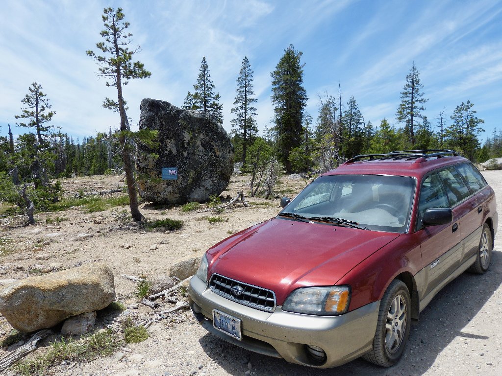
What does it say over there?
This little sign is amazing! One would expect to find something like this on a nature trail in some park or other, but not here. Admittedly, I have no knowledge of this particular flower; I must watch closely for it.
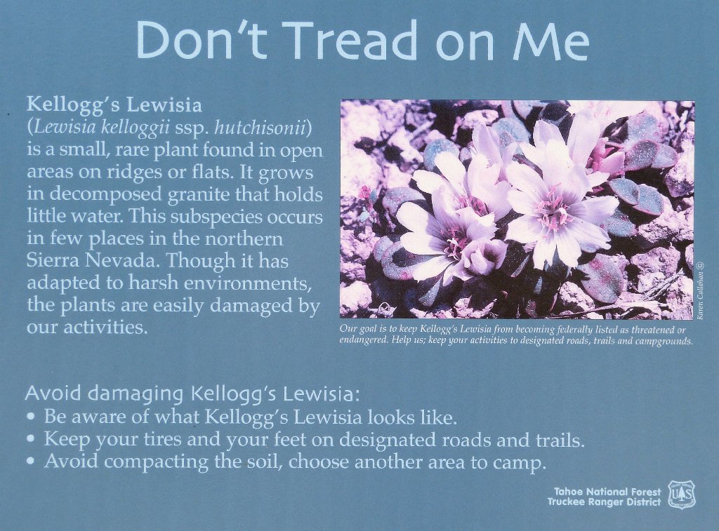
This little plaque has made my day
§: What a mellow outing — short but sweet.
Good weather, no bugs, and no trail for much of the way.
Perfect. I never did, however, venture anywhere near Palisade
Creek itself.
| Scenery |  |
| Difficulty |  |
| Personality | |
| Adventure | |
| Solitude |  |
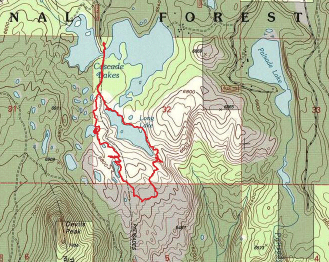
The route (clockwise)
