
Contra Costa County
|
Mount Diablo State Park Traverse Contra Costa County |
April 21, 2013
With some trepidation I have agreed to accompany friends Dave and Mary on
what is expected to be quite a grueling outing — 12 miles of
walking, 3,000 feet of climbing, and a very hot day. I never have hiked
this area previously, however; so here I go.
This hike is a segment of the Walk Across California route, Mary's brainchild; and its followers are known as WACers. Those here today might also qualify as WACkos; we shall see.
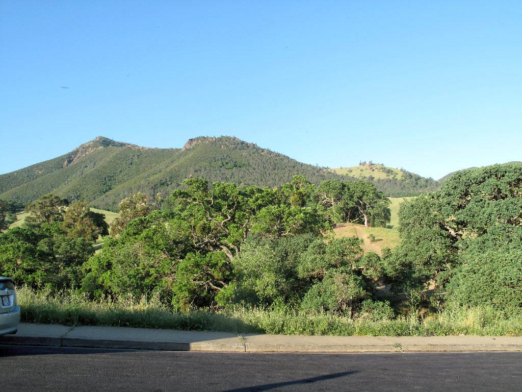
Mount Diablo from the Regency Gate
Because the WAC, also known as the Grand California Traverse, is essentially
a one-way, west-to-east effort, car shuttles are necessary for
every segment. We park at what will be our exit from Mount Diablo State
Park, then take a half-hour ride on busy streets over to another trailhead
in the next town.
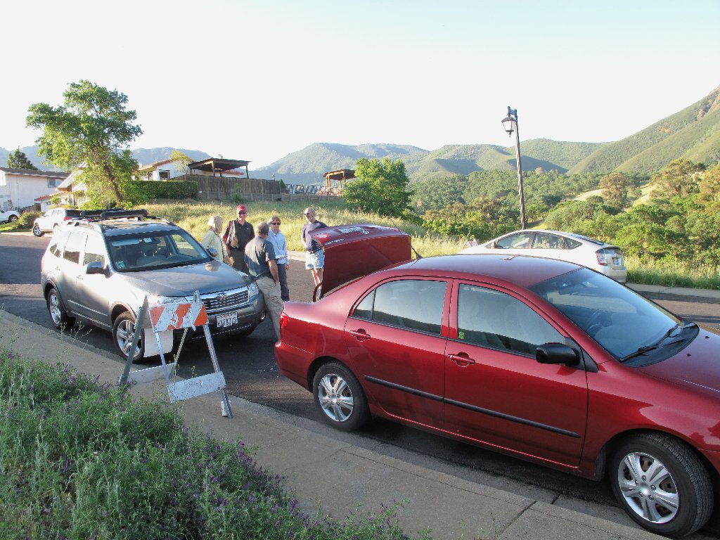
Regency Drive in Clayton
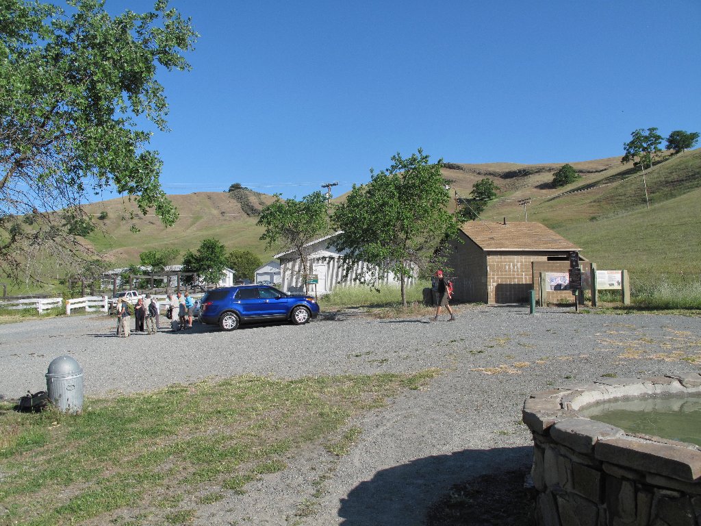
Macedo Ranch Staging Area in Alamo
This group is comprised mostly of members of the Orinda Hiking Club,
a well-organized outfit. There are fourteen of us today,
hailing from as far away as Yuba City and Chico.
I had packed an unprecedented four liters of water; but when the group leader assures us that a refill will be available midway, I dump out two of the bottles, saving more than four pounds of weight in my pack.
Read the nice poem ⇔
After filling out a signup sheet, we head out in mid-morning. Within ten
minutes or so, however, we already are on the wrong path; a quarter-mile
backtrack is necessary to get us back on the proper road.
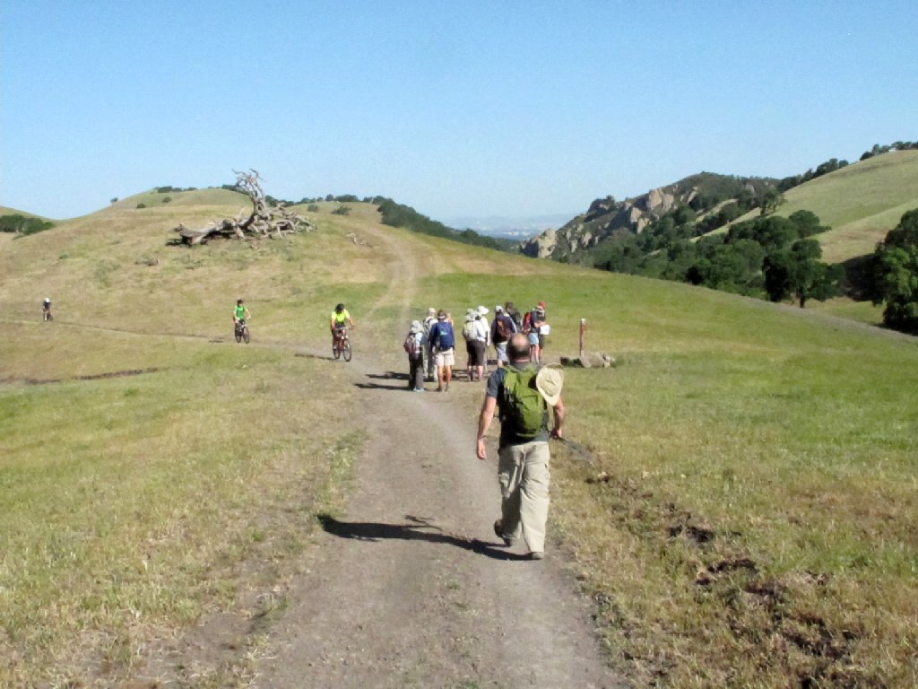
It's time to turn around
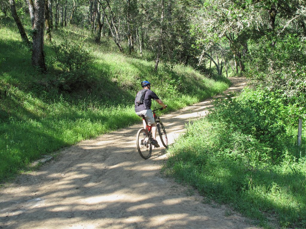
When the group pauses to peruse a big map, a biker comes down the hill with a pair of sunglasses that one of our group had dropped.
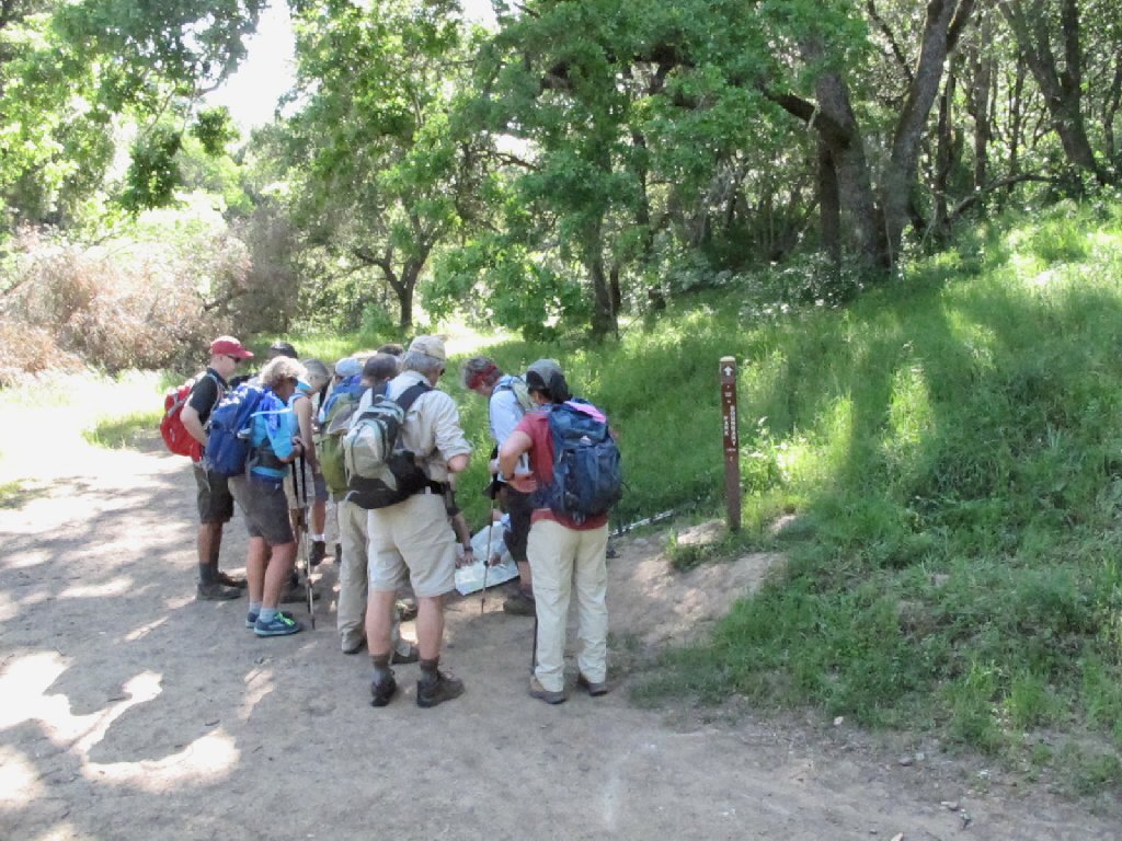
Getting our bearings
A nice man
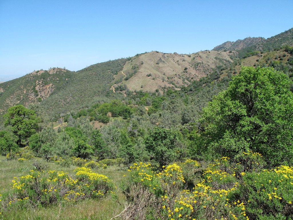
These hills probably will remain green only for another week or two
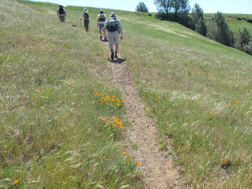
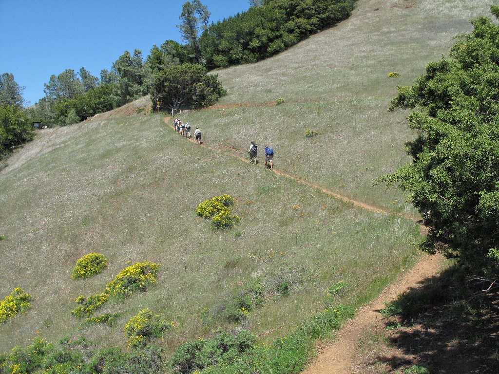
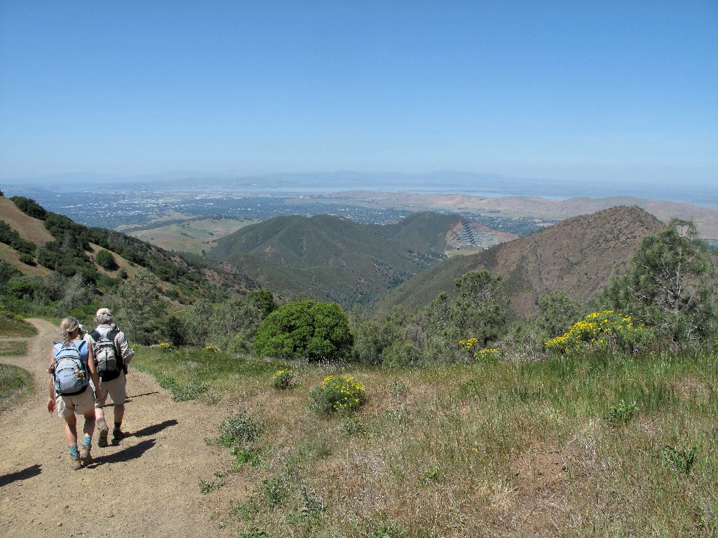
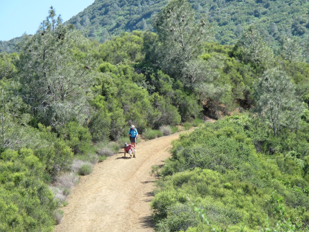
There are no slackers in today's group. The leader and several others forge
ahead, while the slowpokes such as I keep up as best we can. A designated club
member always remains at the rear of the pack, with a walkie-talkie available
for communicating with the group leader. Periodically, the advance group stops
and waits for the rest to catch up.
As promised, a picnic area provides restrooms and a great water faucet. I fill an extra bottle this time, because we are not yet halfway done.
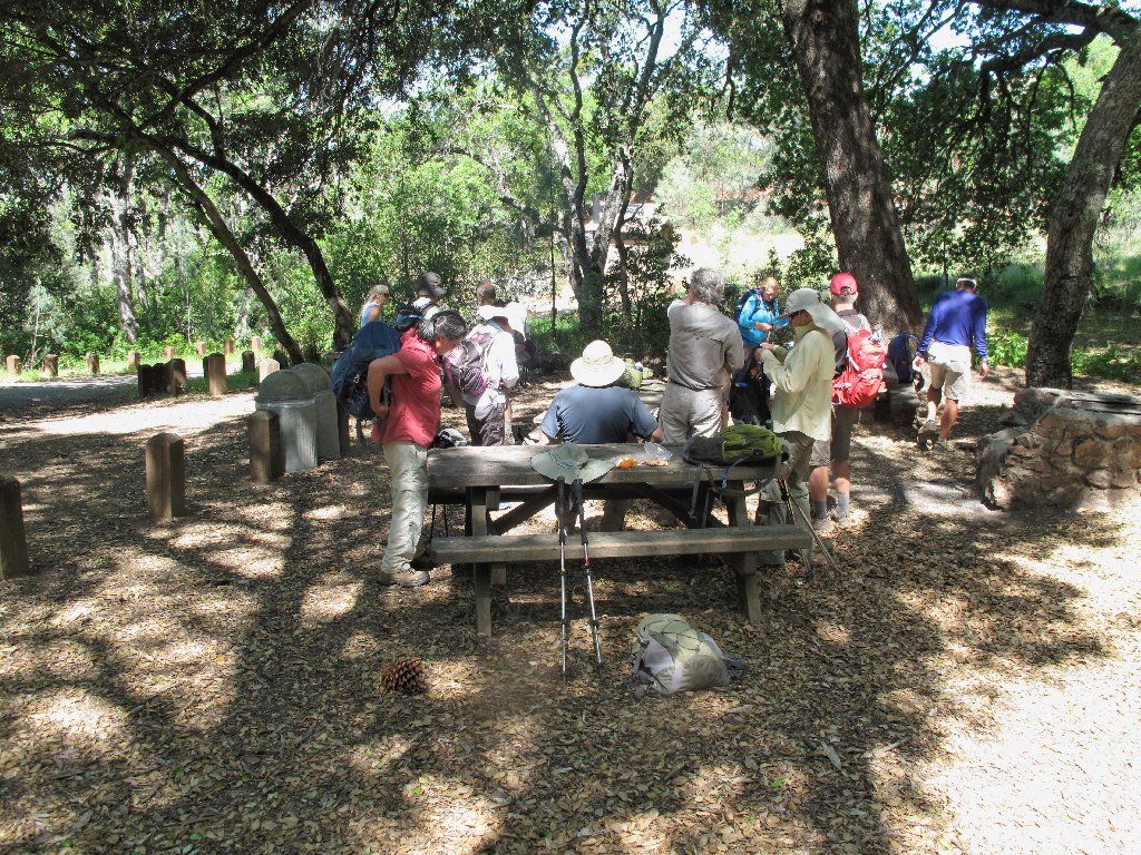
The watering hole
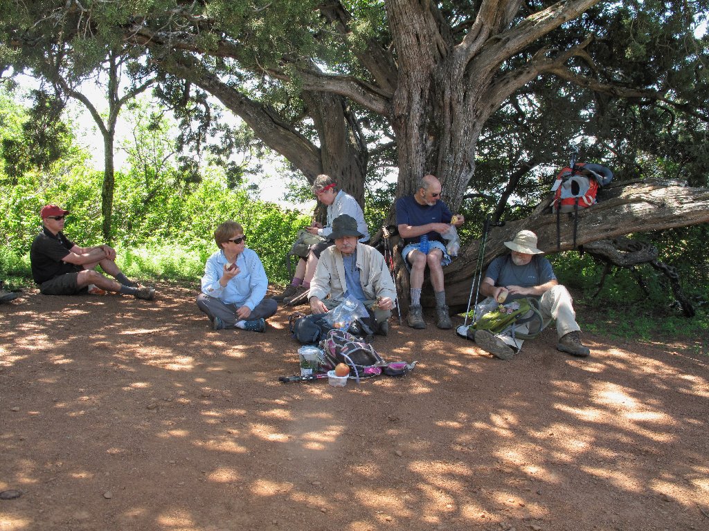
Lunch time farther and higher up the trail
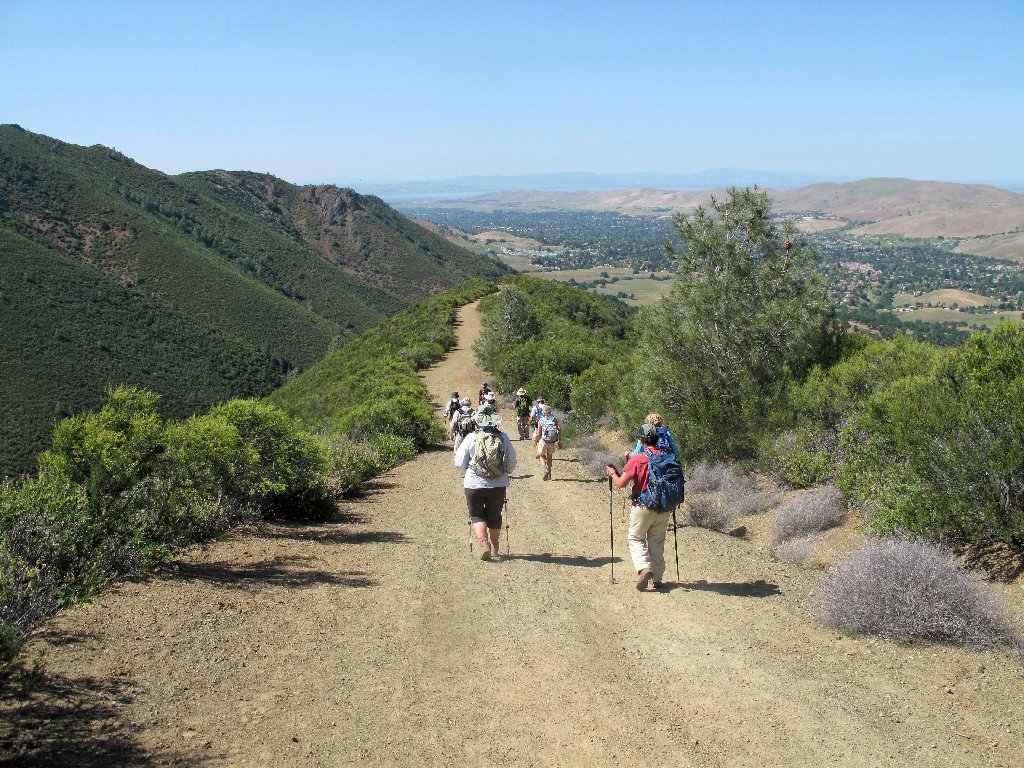
Our ascent is relentless and it is ungodly hot — about 90°
now; but I am handling the rigors of the trek better than expected.
Having some good company for conversation helps to take one's mind off the
workload. I have found that, when hiking solo, it can be helpful to
converse with an imaginary companion! I doubt, however, that many are
willing to risk being caught doing such a thing.
Ever upward
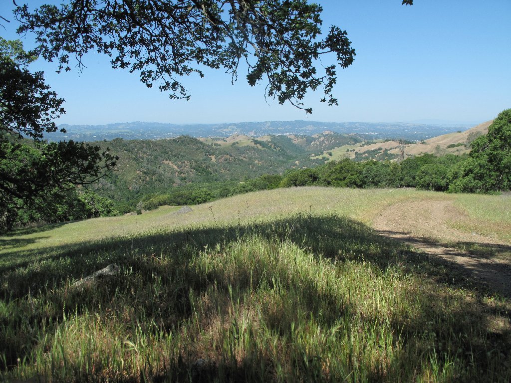
As we climb higher, several vistas present themselves. Although I hear some "oohs" and "ahs", I am unimpressed. These views would be much nicer in absence of the ubiquitous smog. Admittedly, my treks in the high mountains have spoiled me rotten.
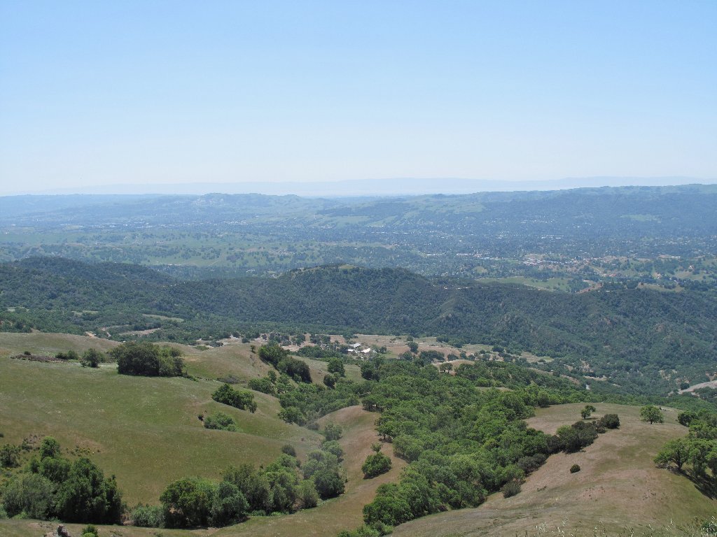
San Francisco Bay is barely visible to the west
Suisun Bay in the north
Having climbed about 2,500 feet by now, we seem to be starting down; I believe that I'm going to make it! Shortly, however, another steep trail section looms ahead; our work is not over yet.
A persistent breeze is helping to mitigate the heat. It is a detriment to flower photography, though; so I don't have much of that to offer today.
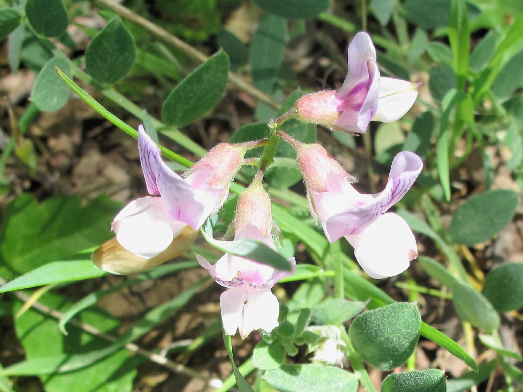
Pacific Pea
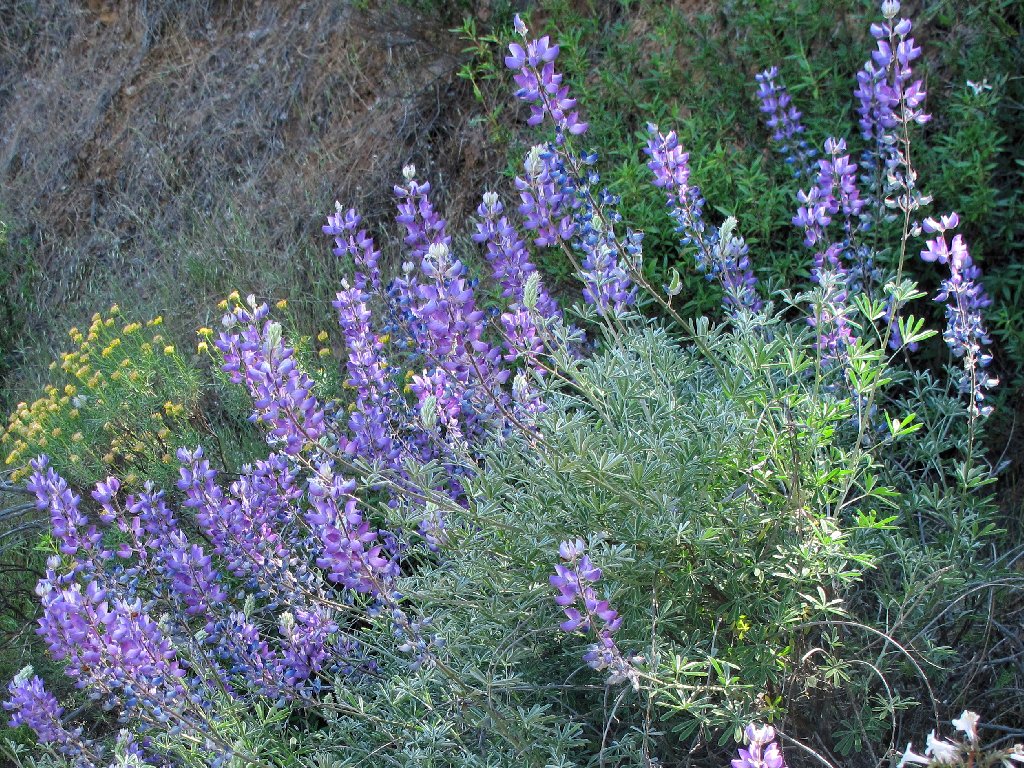
Silver Lupine
The last big downhill is deceptively steep. Even though we are on a roadway, the going is so slippery that one hiker loses her balance and falls. The worst part of her accident, however, probably will be when she discovers that there is a photographic record of the incident.
It's much steeper than it looks
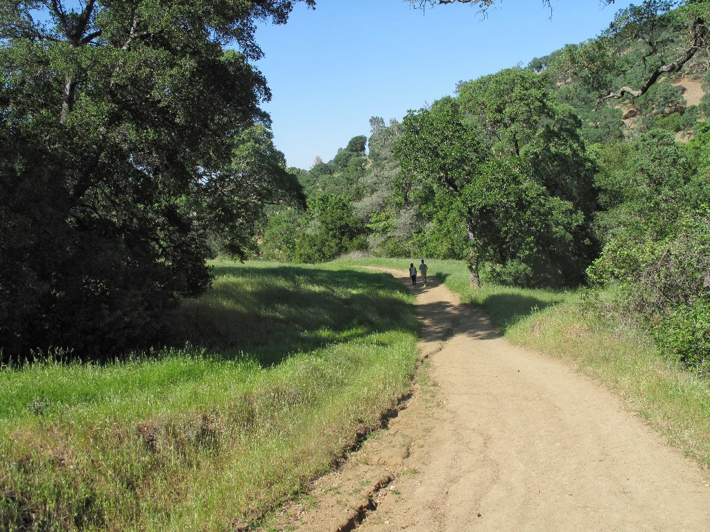
Near the end we enter Donner Canyon, which proves to be the greenest and prettiest part of the entire trek. Just beyond the Regency Gate at our original parking lot, two of the group treat us to wonderful refreshments of cookies, rice krispie bars, and cold sparkling cider. Then eight hardier souls continue another two miles down a bike path to what will be the beginning of the next segment of their Walk Across California.
Donner Canyon
I drive one of the cars over to meet the walkers. My nicest photo of the day is a new flower at the terminal parking lot. Go figure.
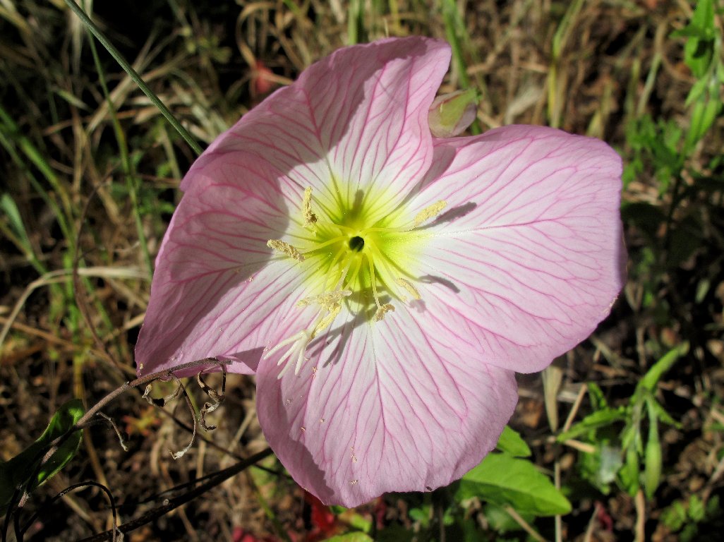
Showy Evening Primrose
§: Gee, I didn't need to be rescued, and I even was ready to
go again the next day; so all is well in retrospect. One hiker's
thermometer registered 93 degrees at one point. I am pleased
to have done this walk, because it helped build my confidence; but I am not
the only one in the group who has vowed never to schedule another outing in
such heat. Many different hikes are available in this park, and I will
return to explore some of them — at a more suitable time of year.
I have upgraded this hike's rating solely on the basis of the interesting company, and I'm looking forward to a future outing with these same folk. I hope that I wasn't too slow for them.
| Scenery |  |
| Difficulty |  |
| Personality | |
| Flowers |  |
| Solitude |  |
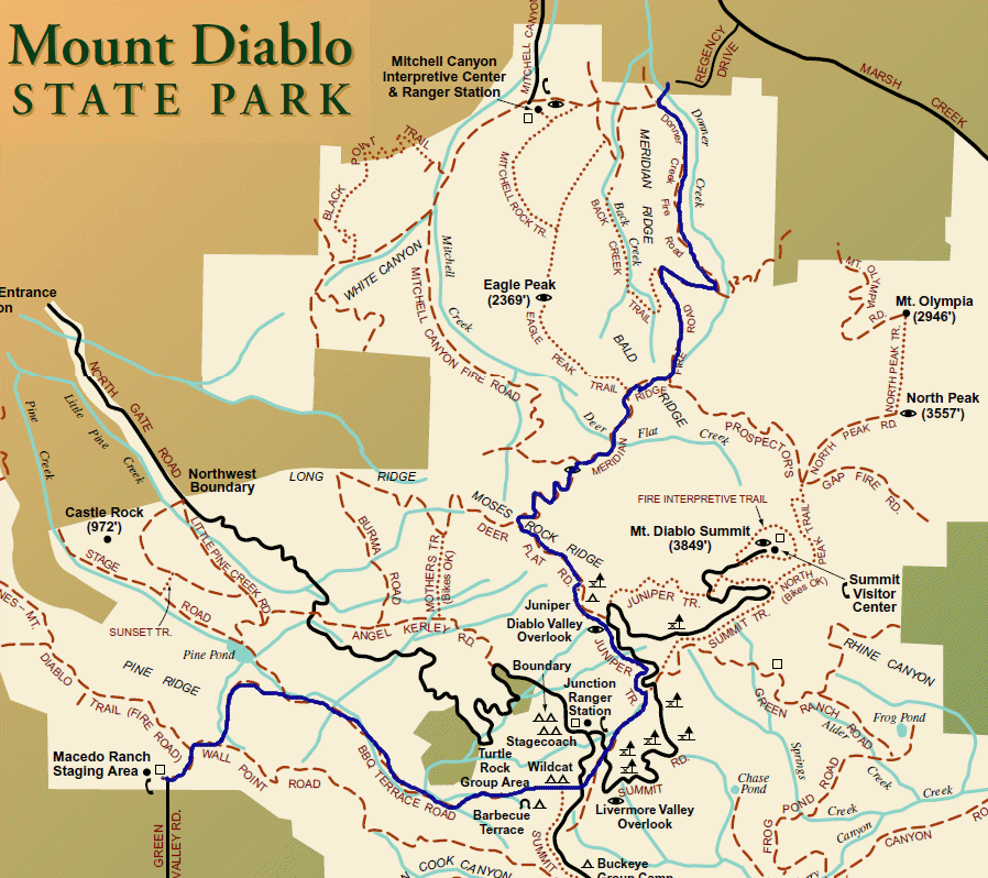
The route is in dark blue

For more information about the Walk Across California:
http://en.wikipedia.org/wiki/User:Osemary
