
El Bolsón, Argentina
|
Cerro Piltriquitrón El Bolsón, Argentina |
March 13, 2012
A $30 taxi ride up a pretty bumpy road has gotten us to this trailhead on a
mountain side east of the little hippie-hiker community of El Bolsón.
The cabbie has promised to return at 6 p.m., which gives us 7½ hours
to do our thing — whatever that might be.
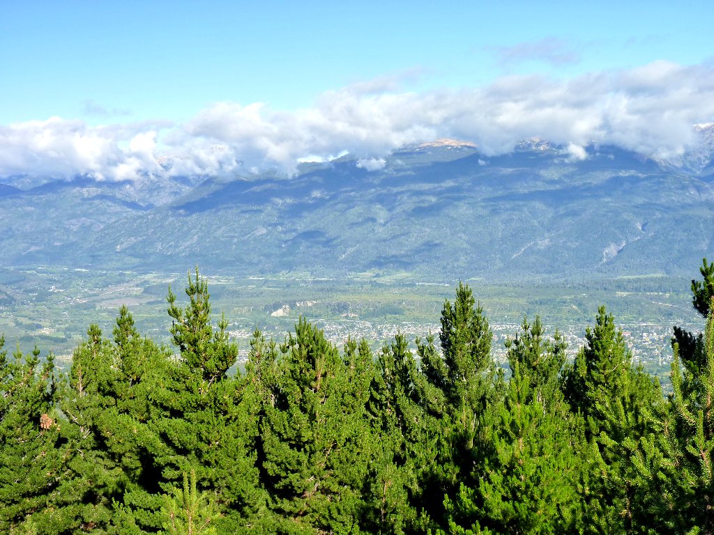
View from Piltriquitrón Platforma
For David and me, our last four days have consisted of a stroll in a city park, an unintended exploration of a ski area, a long bus ride, and another stroll down a farm road to a little waterfall; so we are itching for some real action. Having apparently pulled a muscle over at Refugio Lopez last week, my leg still is sore; so I don't know how far I will be able to trek. My hiking partner deserves not to have his day screwed up, though; so I'll give it my all.
Across the way
The destination is up there somewhere
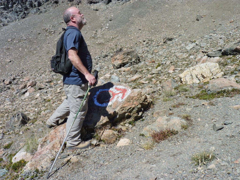
I am taking little steps up a steep trail; so far, so good.
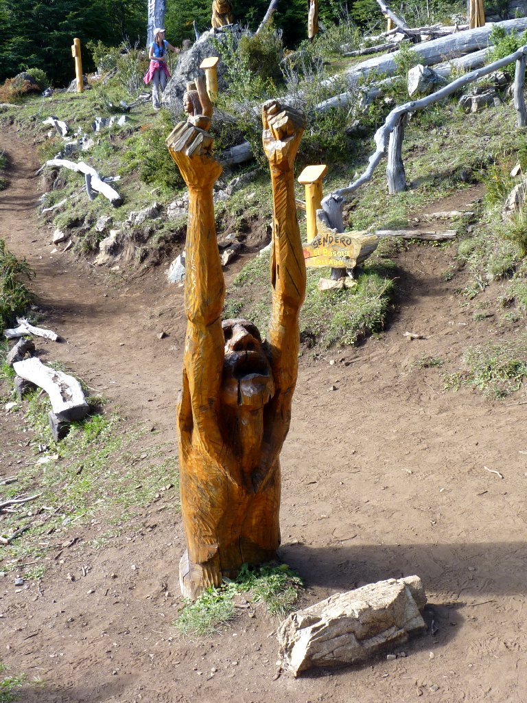
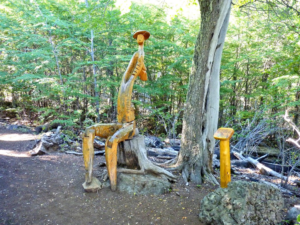
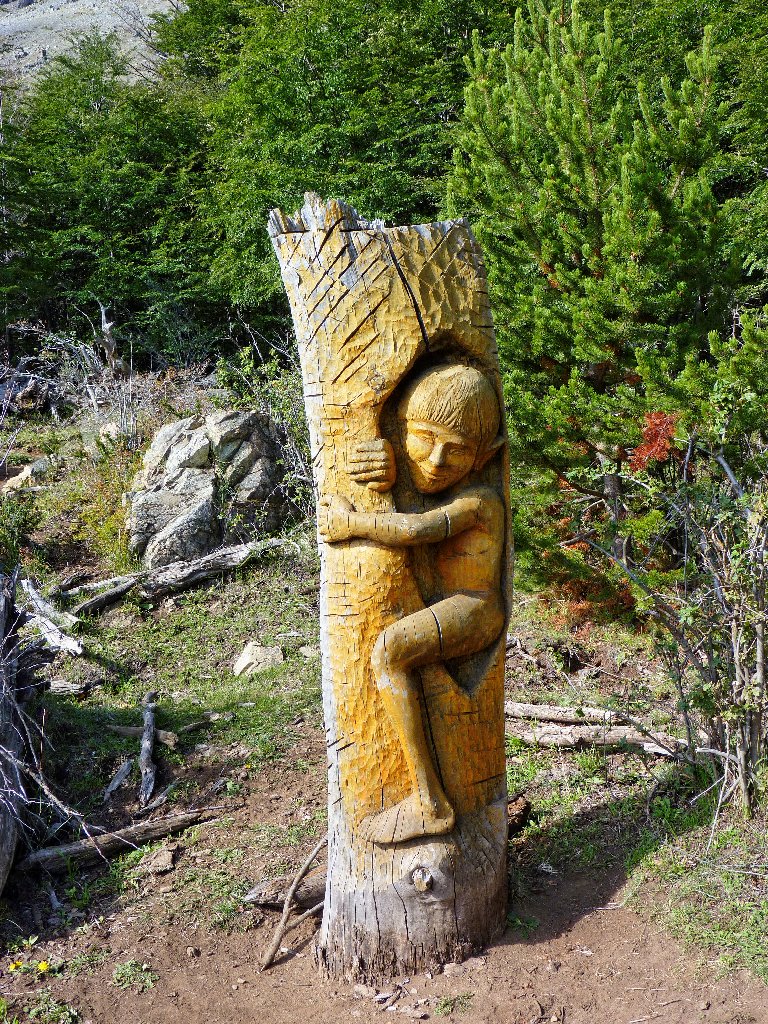
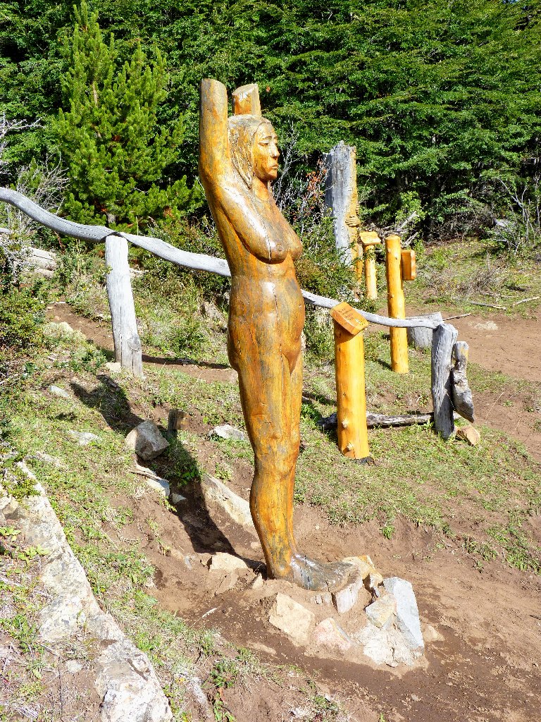
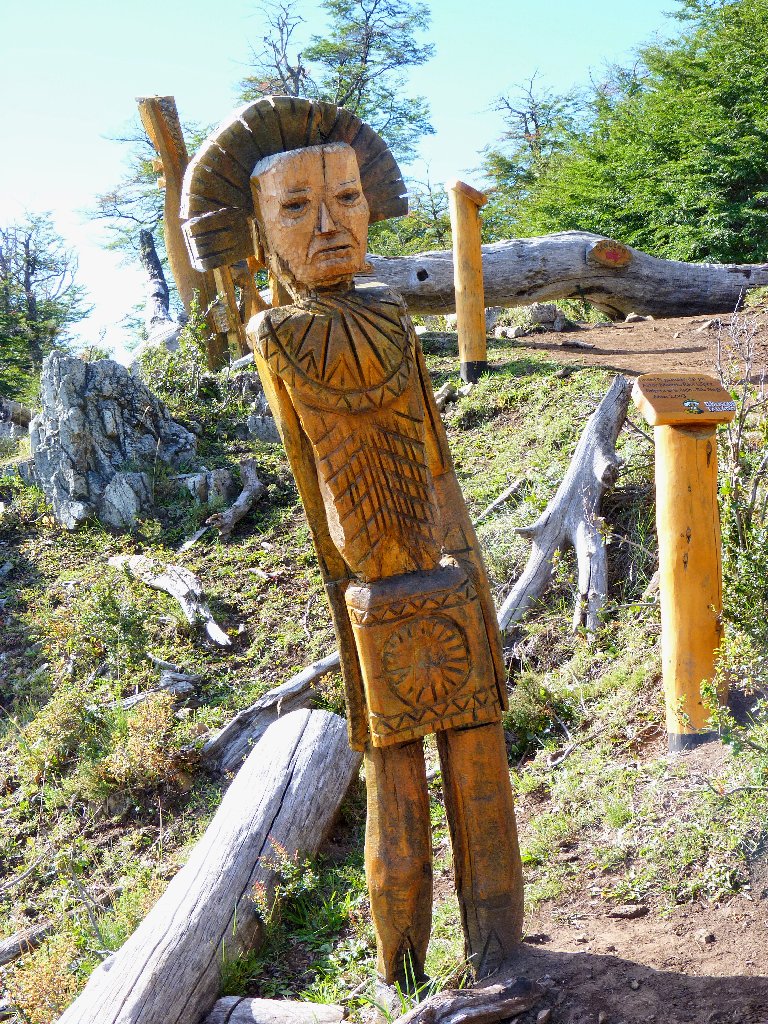
An advertised 1,000 meters up the route is a place called El Bosque
Tallado (Carved Forest), where a couple dozen dead trees have been sculpted
in imaginative shapes. No one is around to take our $2.33
entrance fee, so we just walk right in.
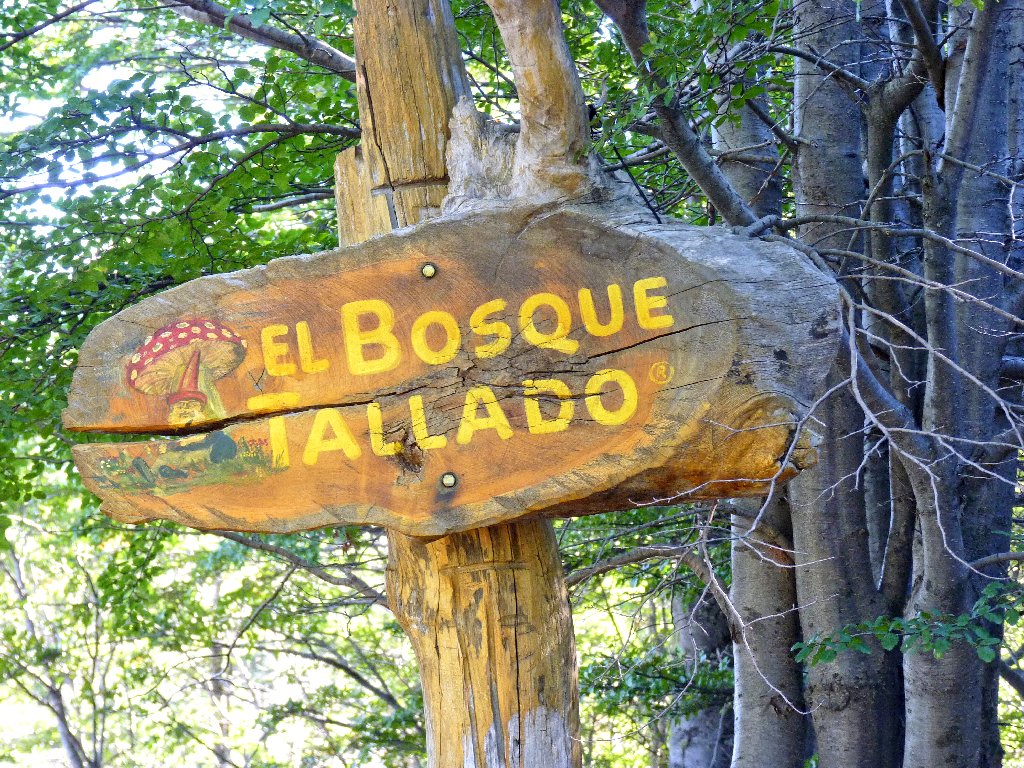
The lighting isn't very good here right now, so I believe I'll stop by on the return for another try. Heading out, we reach the mountain hut within ten minutes or so.
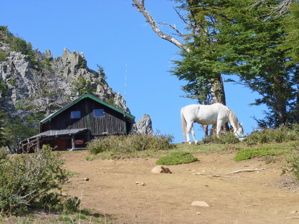
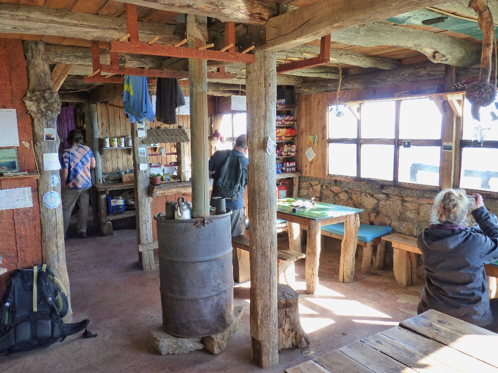
Refugio Piltriquitrón
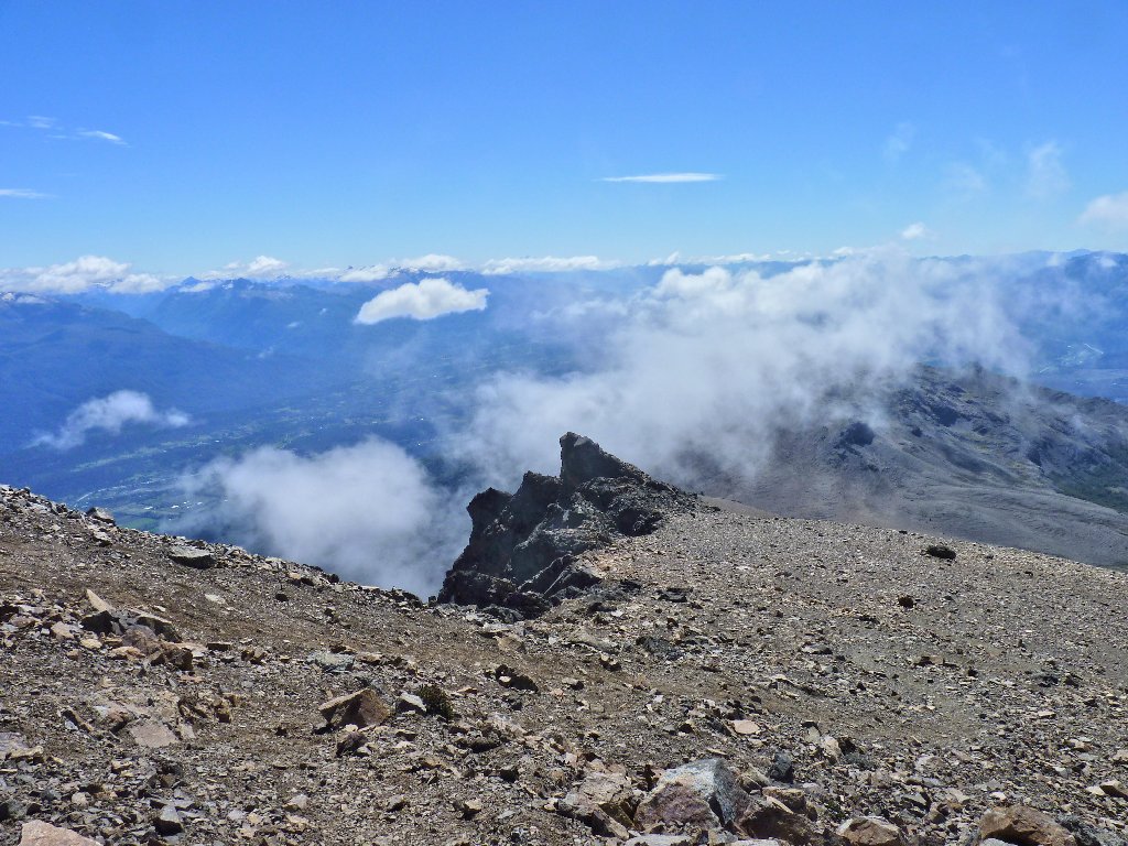
El Bolsón is spread out below
After making friends with the refugio's two nice kitty cats, we take off up the mountain on an even steeper trail.
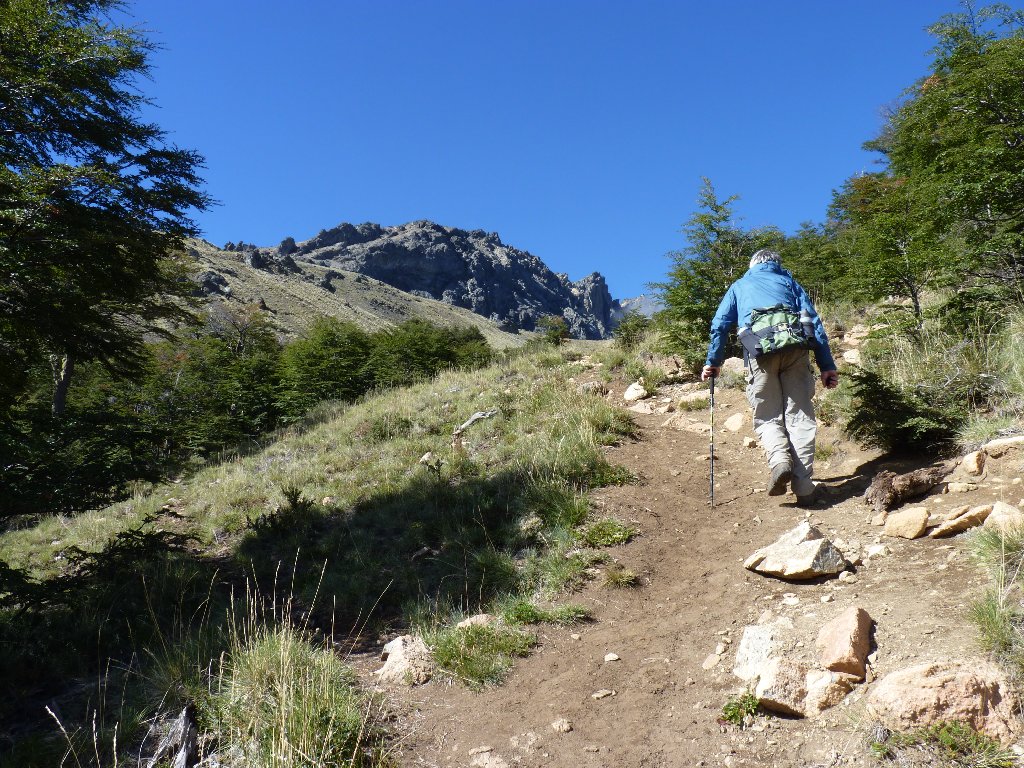
My new windbreaker is on
Approaching the clouds
Fittingly enough, the name Piltriquitrón means "hanging from the clouds". Locals reference this peak with a certain amount of reverence.
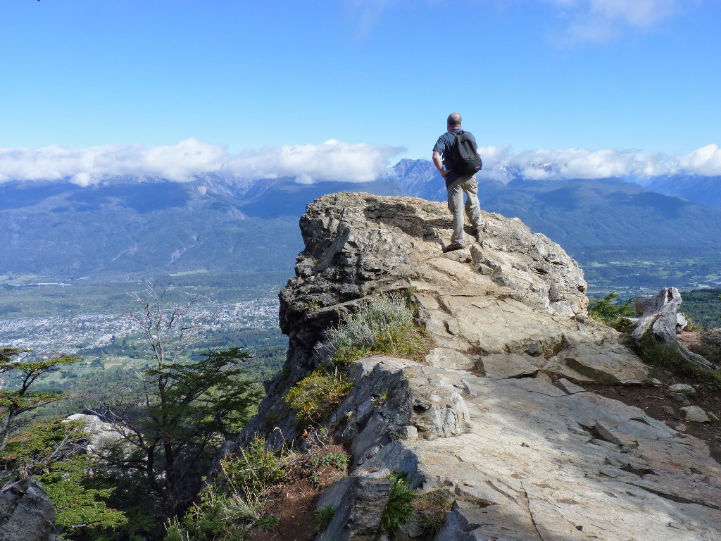
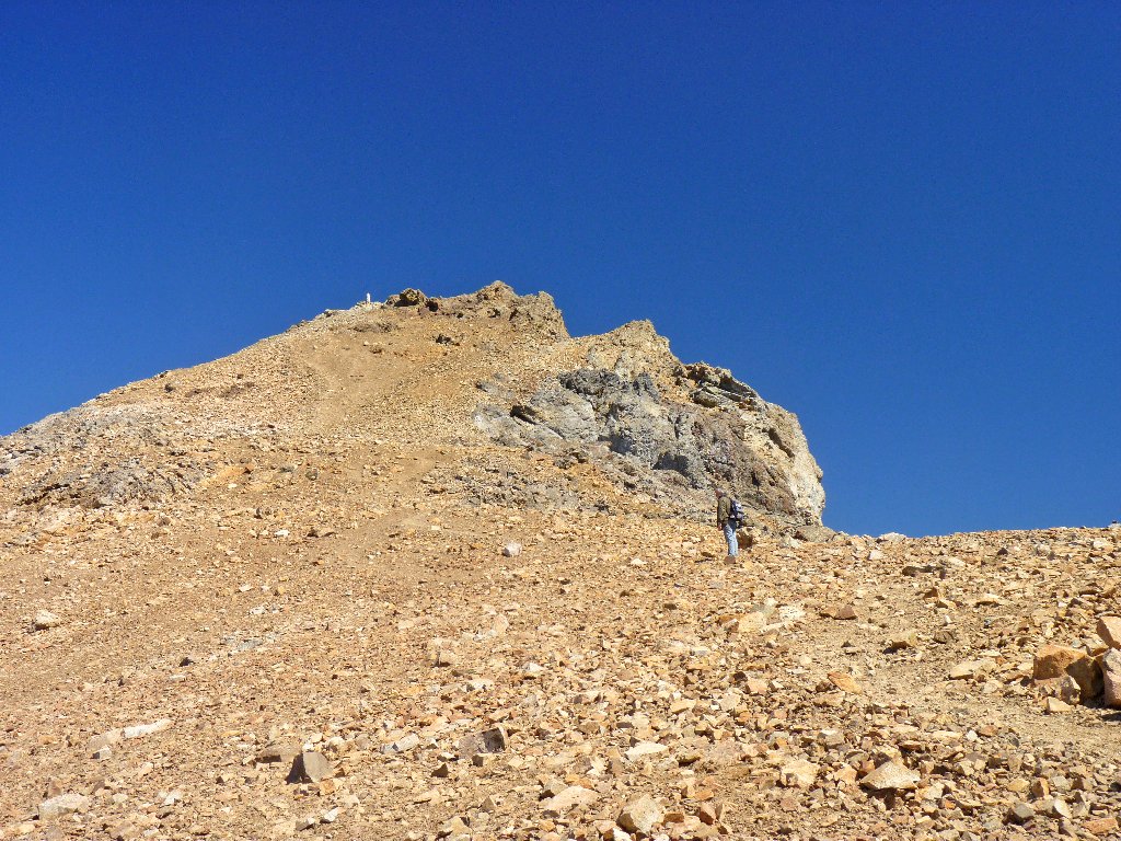
Our objective is behind that big rock
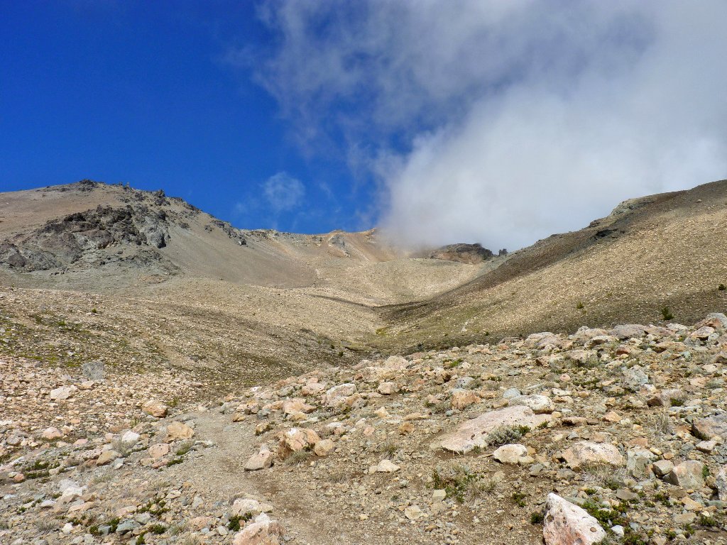
The summit is hidden
Somewhere in here we exceed a 2,700-foot gain, which makes this my greatest
one-day ascent in fifty years. In truth, it had not occurred to
me that I actually would go all the way up today; but I seem to be doing it.
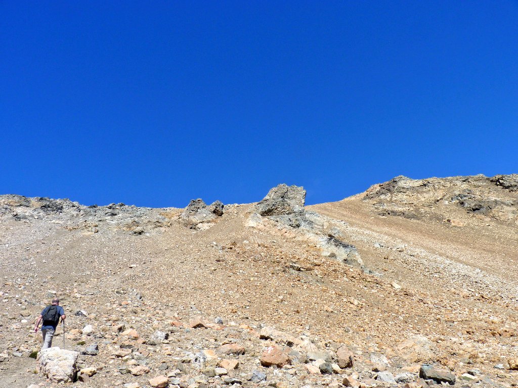
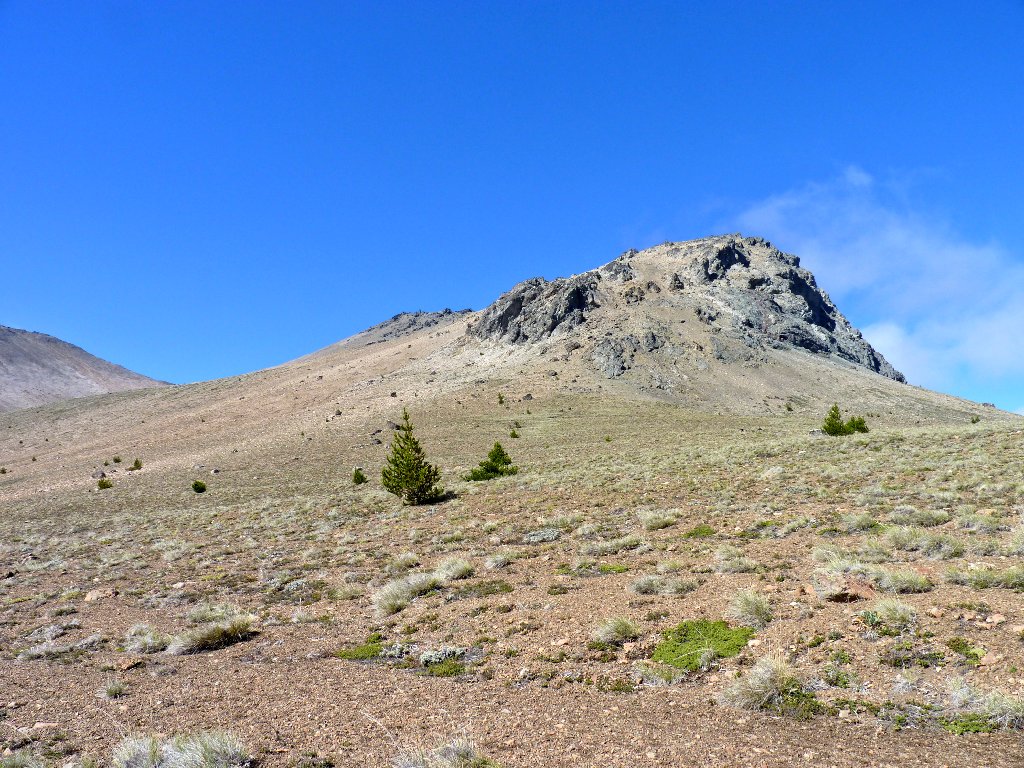
It gets really ugly on this slope
One has to experience scree (the loose rock) in order to properly revile it. Like the proverbial inch worm, one gains two feet only to slide back a foot with each step. Several times I end up lying with my face in the gravel to rest my burning thighs after just ten feet or so of climbing.
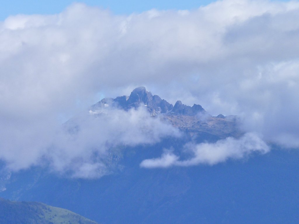
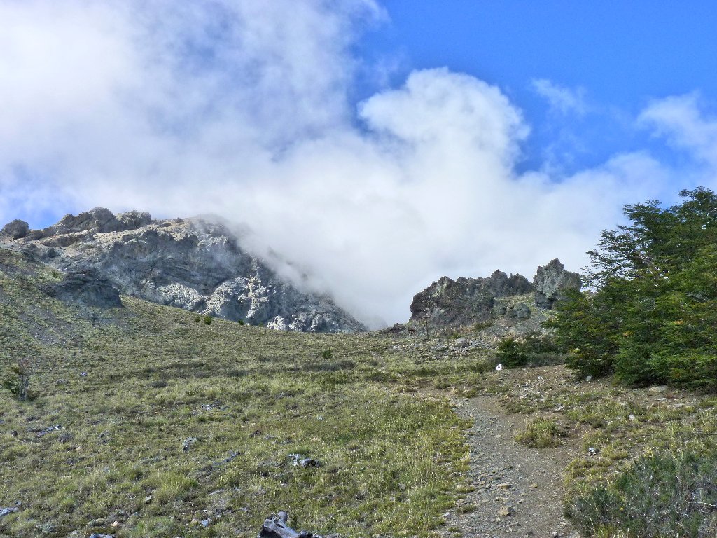
We are in the clouds now
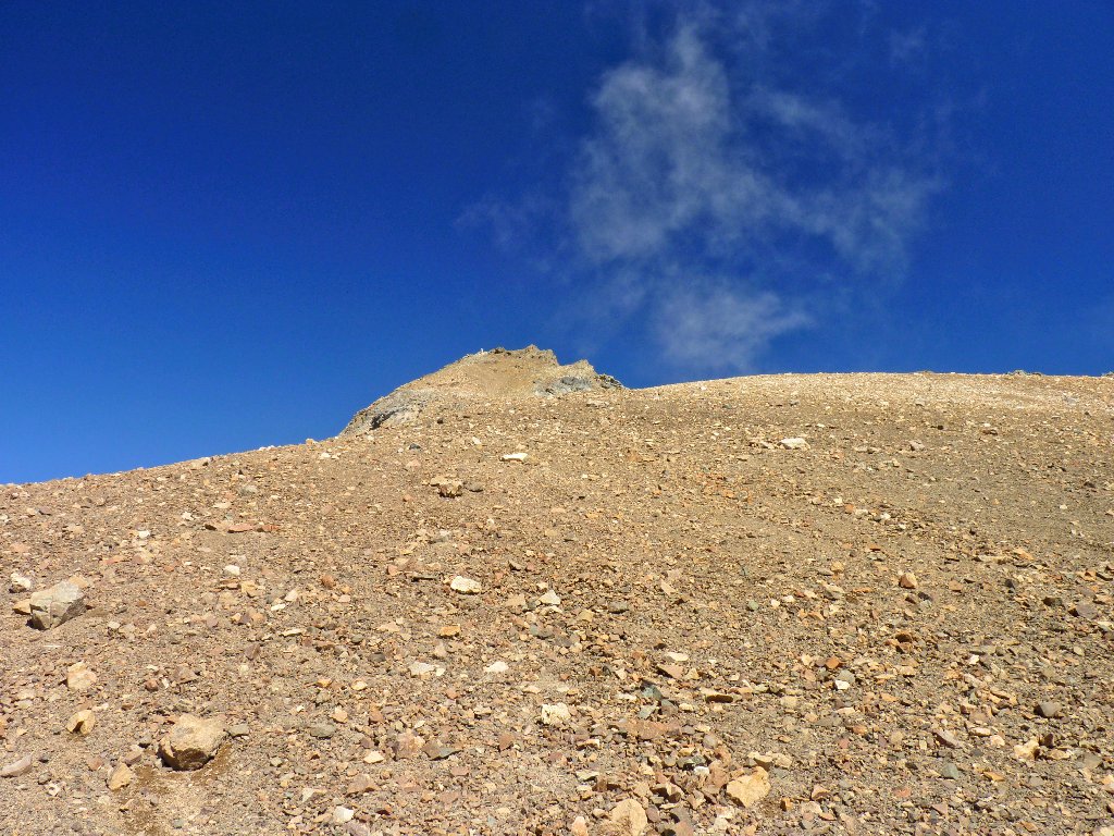
Finally, the summit marker comes into view, way up there; it had been obscured by the clouds all this time. Had we seen it from far below, we might actually not have persisted in the climb. As it is, I cannot believe that I am actually doing this with a defective body.
The route is steeper and rougher than ever, but there is no turning back now.
Made it!
As anticipated, the 360-degree view is outstanding, and this accomplishment is exhilarating.
Somehow, my polarizing filter has been broken while removing the camera from my pack. Oh well, I'll just have to manage.
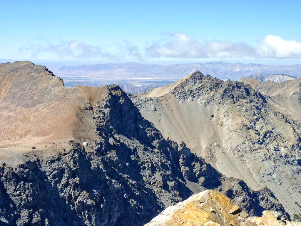
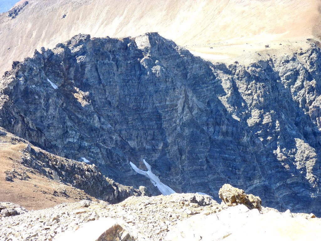
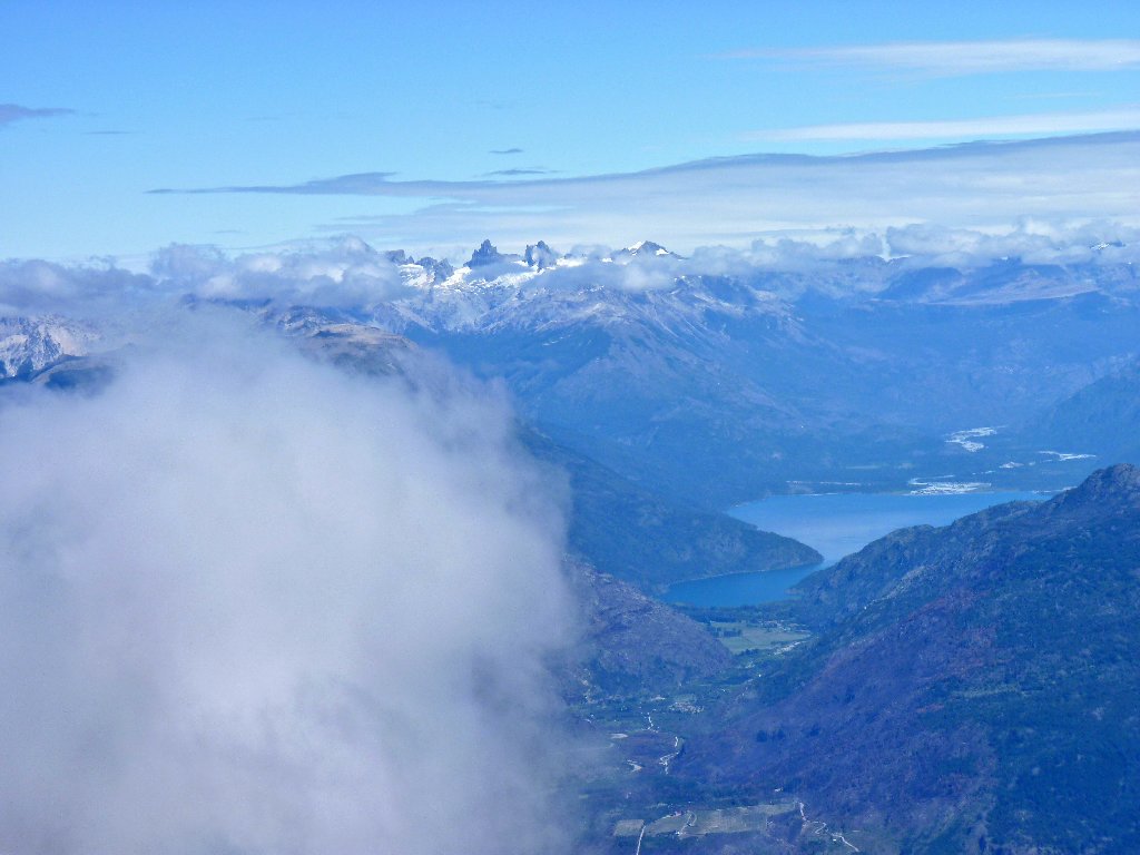
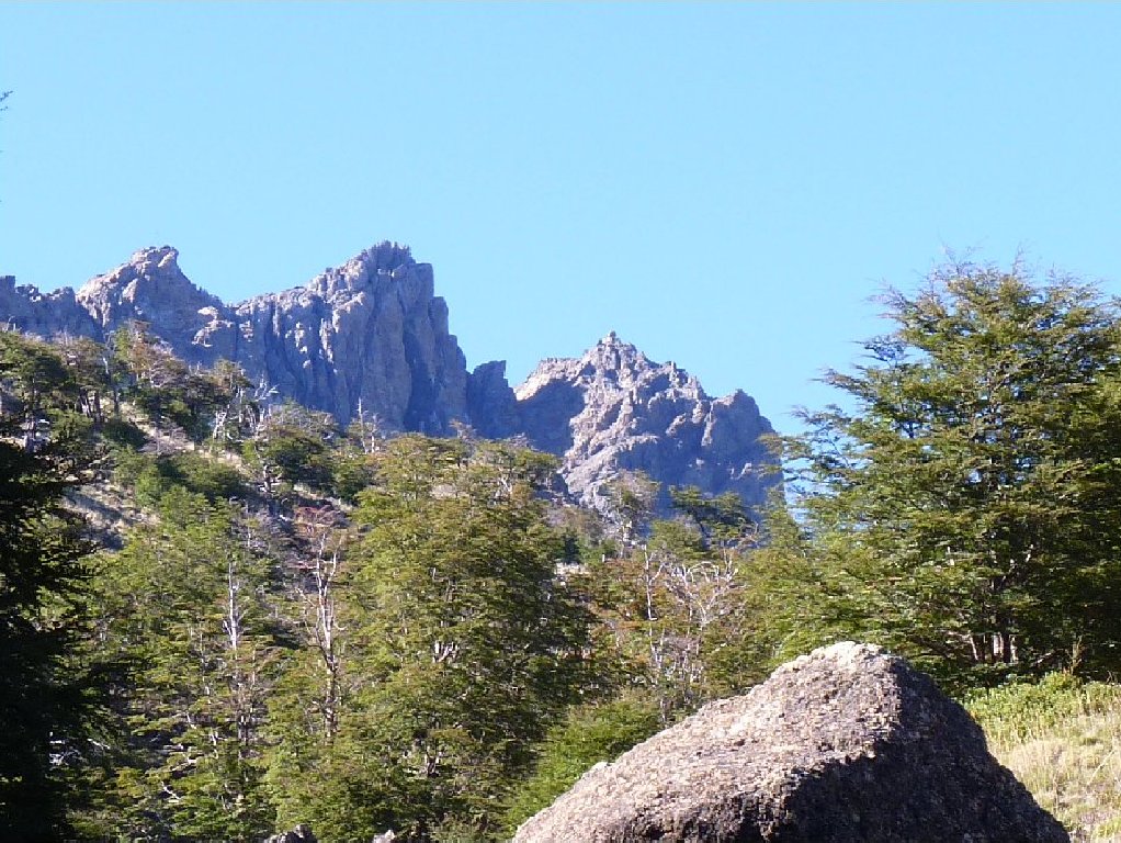
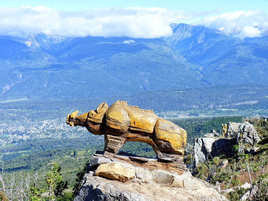
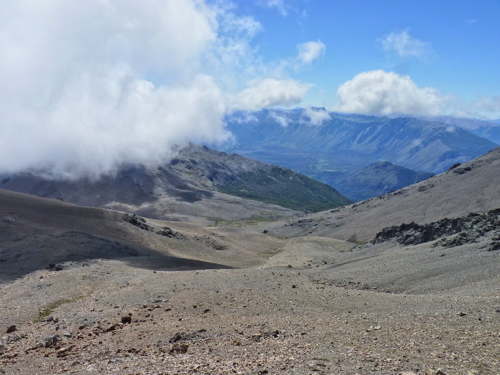
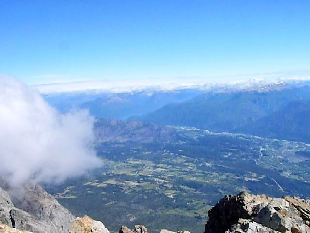
The mountain range to the southwest is spectacular
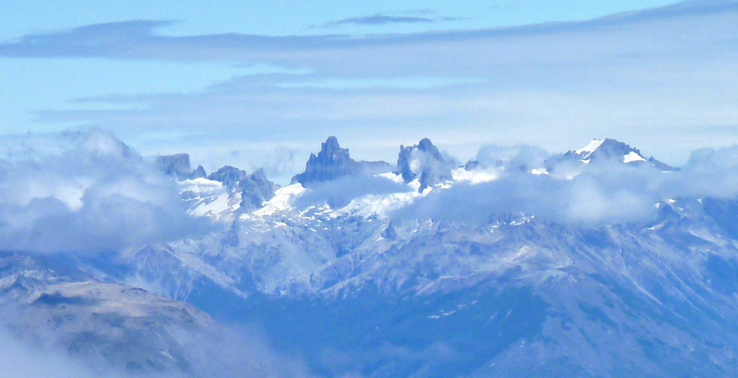
High peaks close-up ⇔
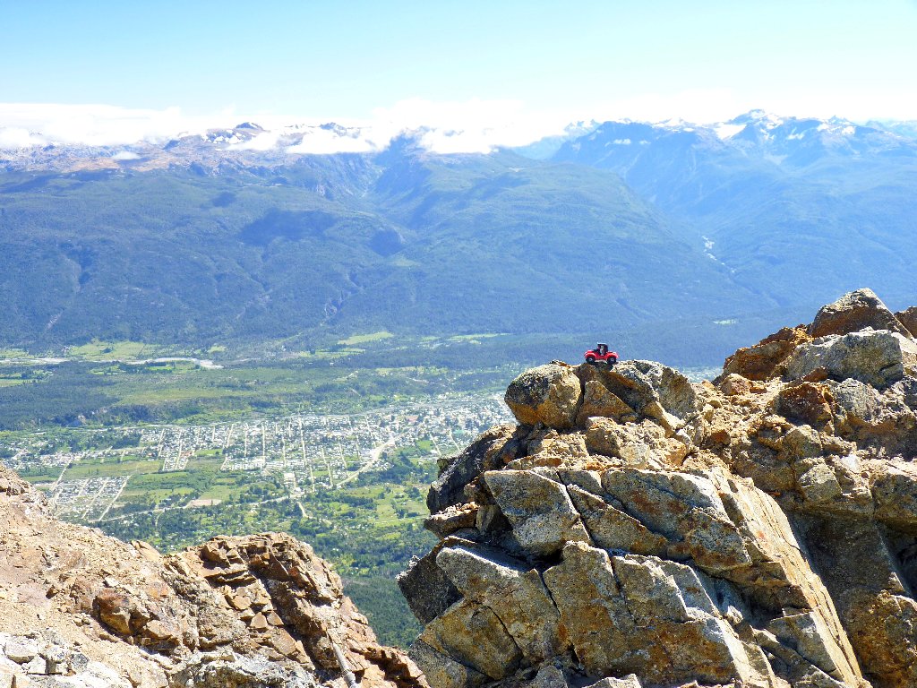
El Bolsón is more than 6,400 feet below
So these are the Andes! You're not so tough
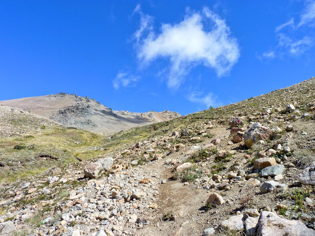
Descending the scree is a rather different experience.
Wherever the sand is thick enough, we can slide easily down the slope,
dropping four or five feet with each step. When the ground is more
firm, however, it's white-knuckle time with the walking sticks.
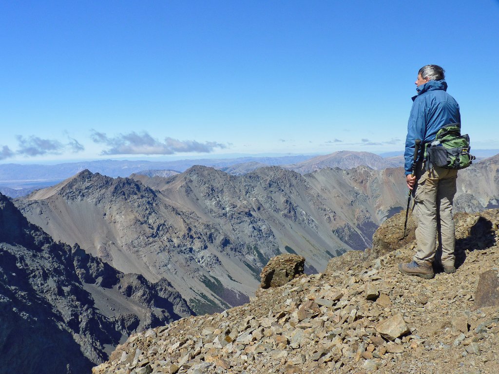
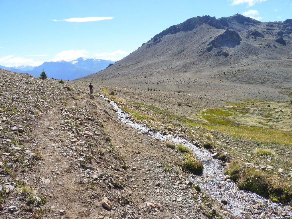
A loner from Buenos Aires slowly makes his way up
Wishful thinking
A last look at the summit (center skyline) from 1,400 feet below it
This spring runoff is the refugio's water supply
Back at the mountain hut, David and I purchase a couple of jars of Piltriquitrón Raspberry Jam, hoping to make it home with them.
A coke is three dollars here, which is perfectly fine
Having actually made it back down to the Carved Forest with a little time to spare, I grab the opportunity to revisit the tree sculptures; but lacking sufficient time to explore the place fully, I know that I have missed some interesting stuff.
We make the six-o'clock deadline despite my gimpy leg, and the
cabbie shows up right on time to take us down the hill —
for another thirty dollars.
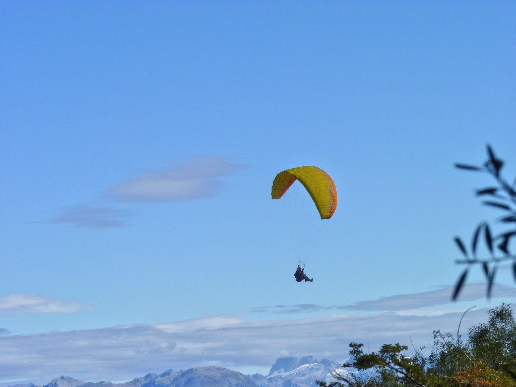
Near the trailhead, a lone paraglider sails a couple
thousand feet above the town
Here is a Google Earth representation of today's outing:
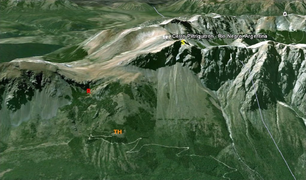
TH = trailhead
R = refugio S = summit
§: What an outstanding walk this was, to the area's premier
hiking destination! This was by far my greatest one-day altitude
gain since a conquest of Half Dome in 1961. Under the circumstances,
I still cannot believe that I did it. My bum leg seems no worse off
than before I started; go figure. I might pay for this trek tomorrow,
but right now it feels mighty good.
| Scenery |  |
| Difficulty |  |
| Personality | |
| Solitude | |
