Desolation Wilderness
|
Mount Tallac Desolation Wilderness |
October 1, 2012
Despite having lived within short driving distance for most of my life,
I somehow never have arranged to climb the Tahoe area's best-known
and probably most popular trail. My friend Ali has been hounding me
to do this one, however; so here I am finally.
On a previous trek, Ali's hiking partner managed to make it only
half-way up this grade which averages a steep 20%; so although I am
feeling far from my best this morning, I am resolved not to let Ali down.
This will be my fourth-greatest elevation gain in a single day.
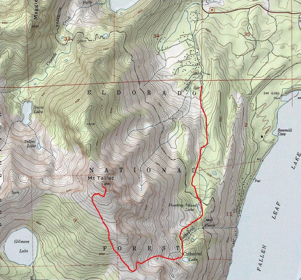
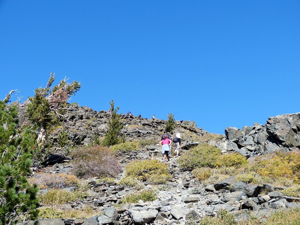
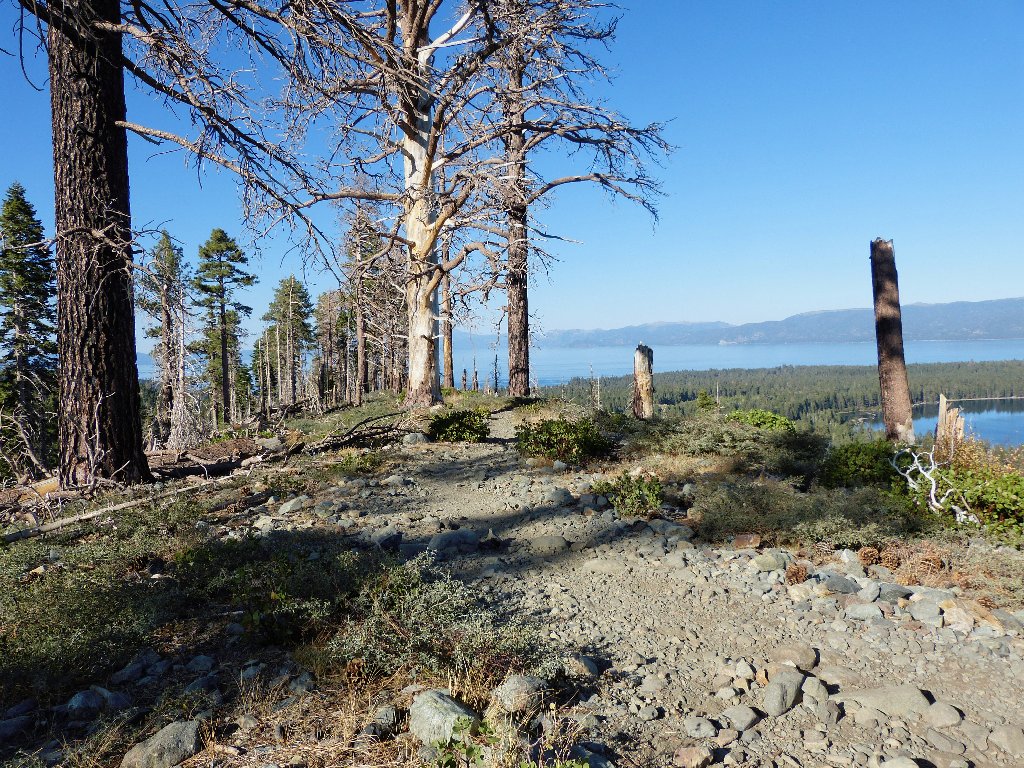
Getting started
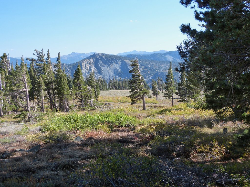
The objective is 3,250 feet above
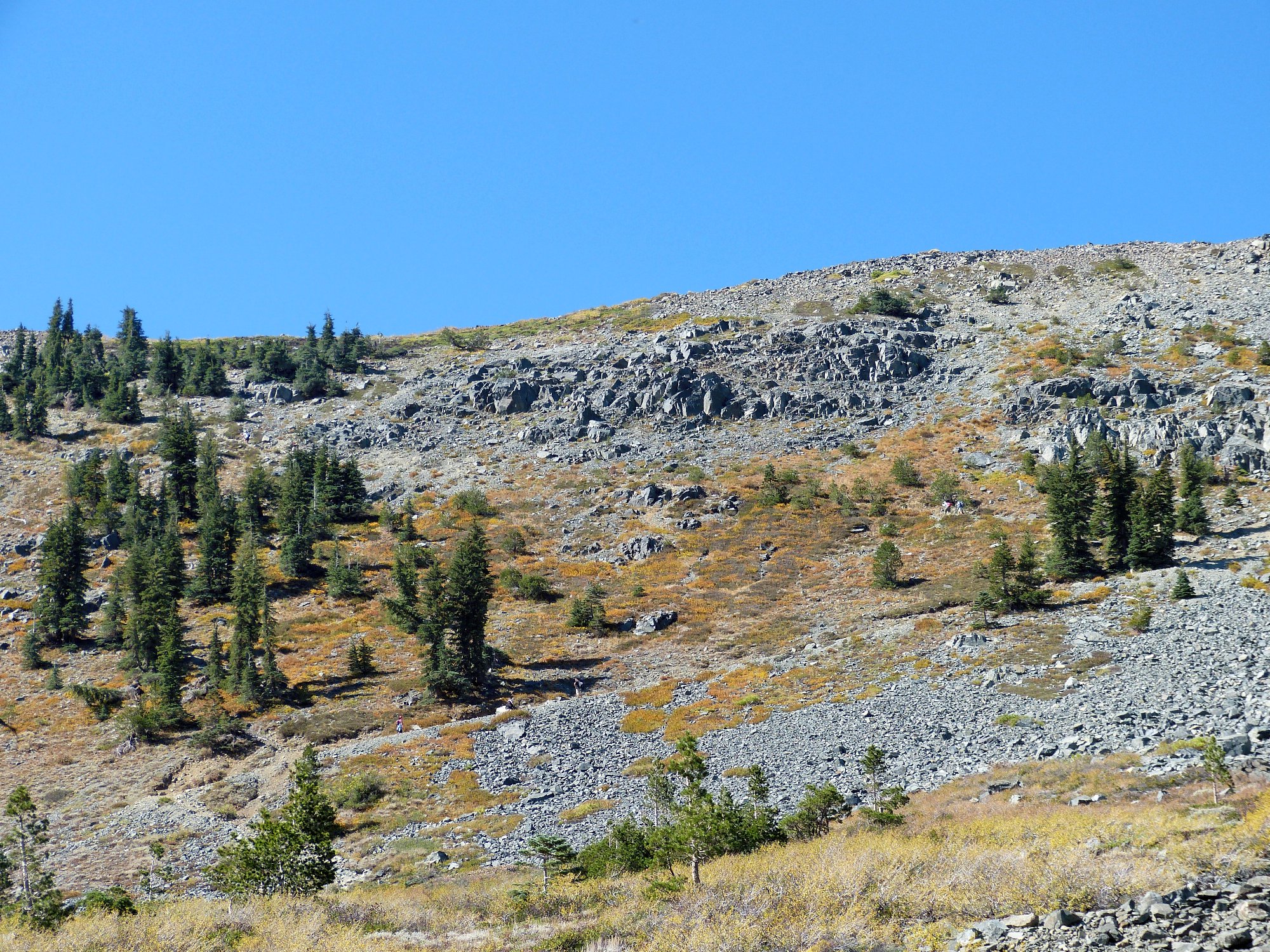
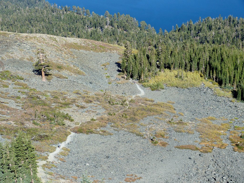
The trail follows a slender ridge for a time. The little canyon to the right was burned out not long ago, so the scenery isn't so hot in here. Also, my footing on the gravel trail requires constant attention.
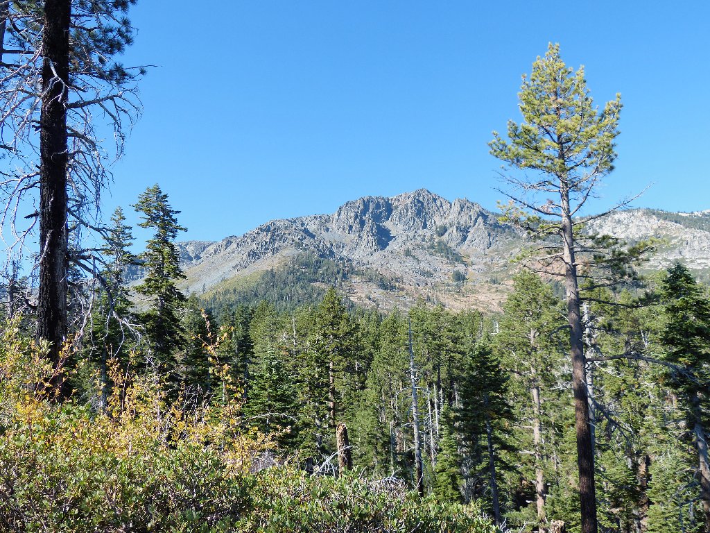
Fallen Leaf Lake and Lake Tahoe
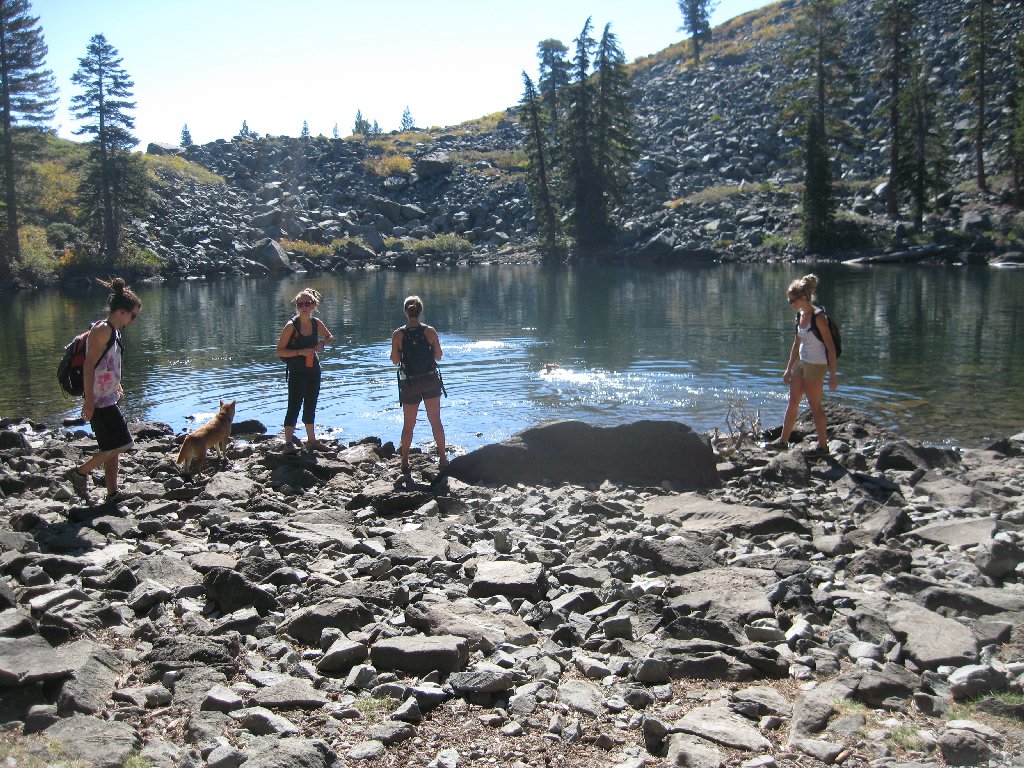
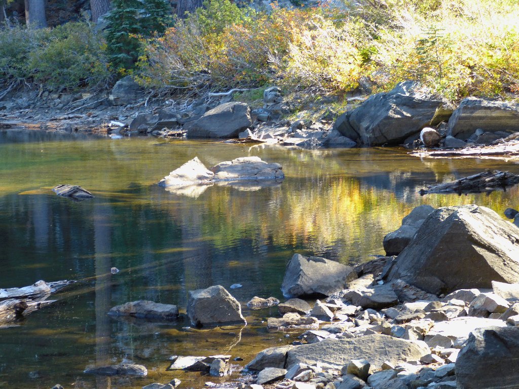
The first trailside attraction is something of an environmental oddity. Big clumps of sod occasionally break away from the northern shoreline of the little lake, effectively becoming wandering islands of grass and dirt.

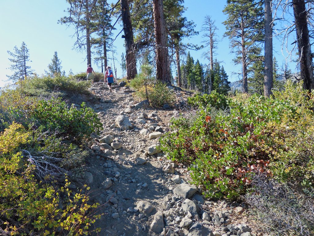
Floating Island Lake and Mount Tallac, 9738'
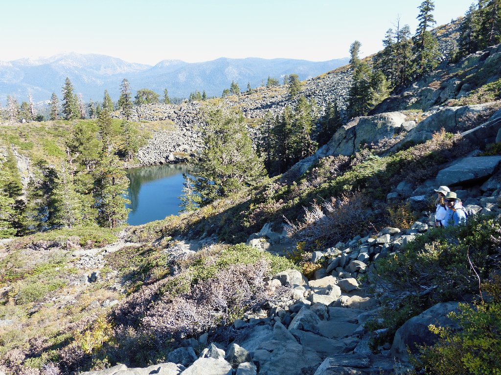
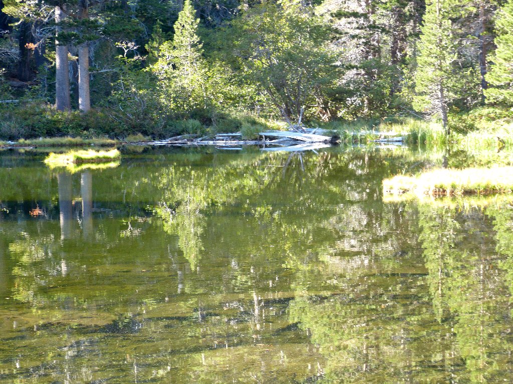
Another mile up the trail is another lake with a totally different personality.
Ali captures the action at Cathedral Lake
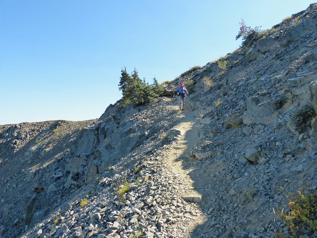
From here the trail gradient increases. No more easy going.
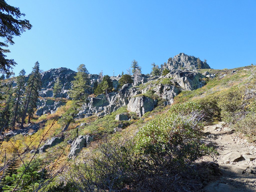
The route becomes more interesting
The views get better as well
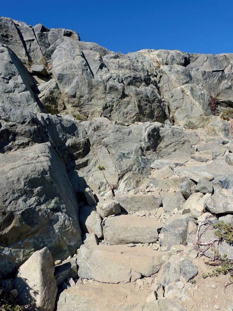
Stone steps abound on this segment
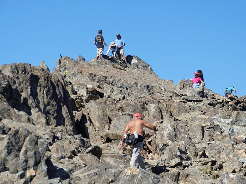
I can see three groups of hikers on the big switchback ⇔
Atop the ridge, Ali and I get a first view of the Crystal Range to the west.
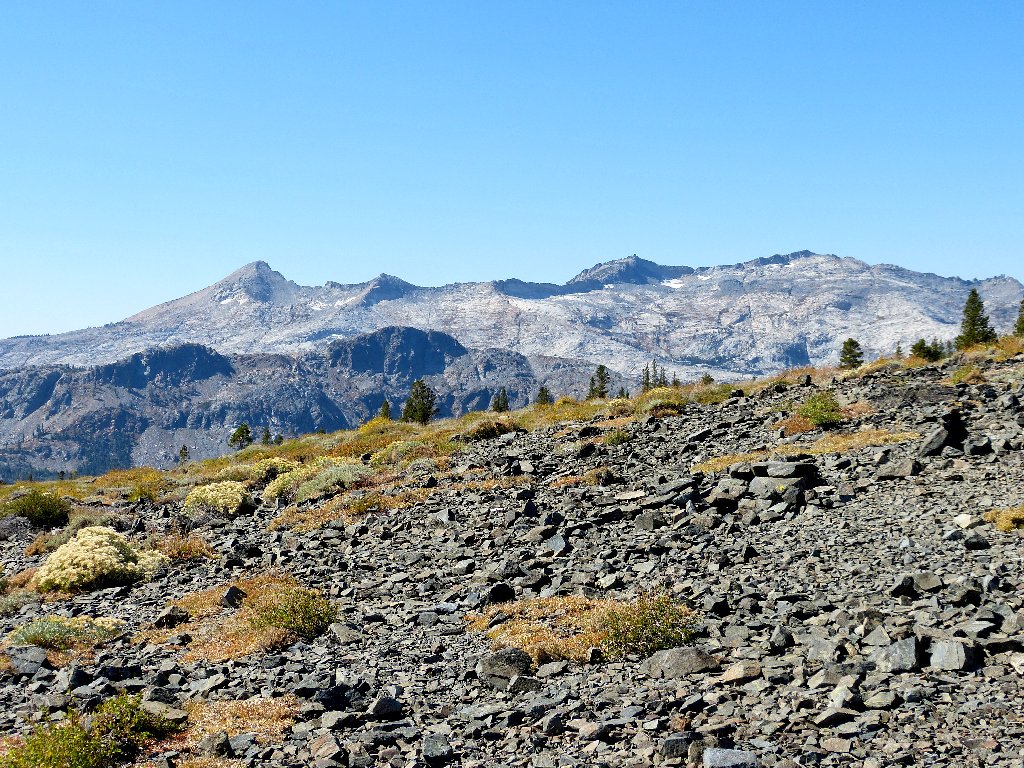
Pyramid Peak, Mount Agassiz, and Mount Price are Desolation's three highest peaks
Just below the summit is a junction with a spur trail that leads down to Gilmore Lake and other nice places that are more readily accessed from the Glen Alpine Trailhead.
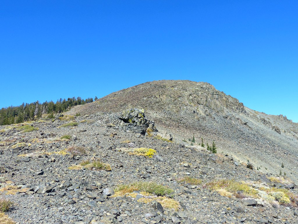
Our destination is somewhere behind that mound
The summit block doesn't look too imposing
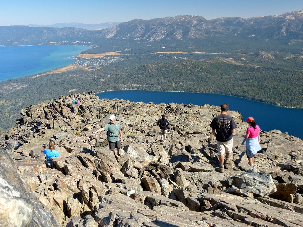
As we approach the top, many others are departing the area. This is good, I guess.
Just below the summit
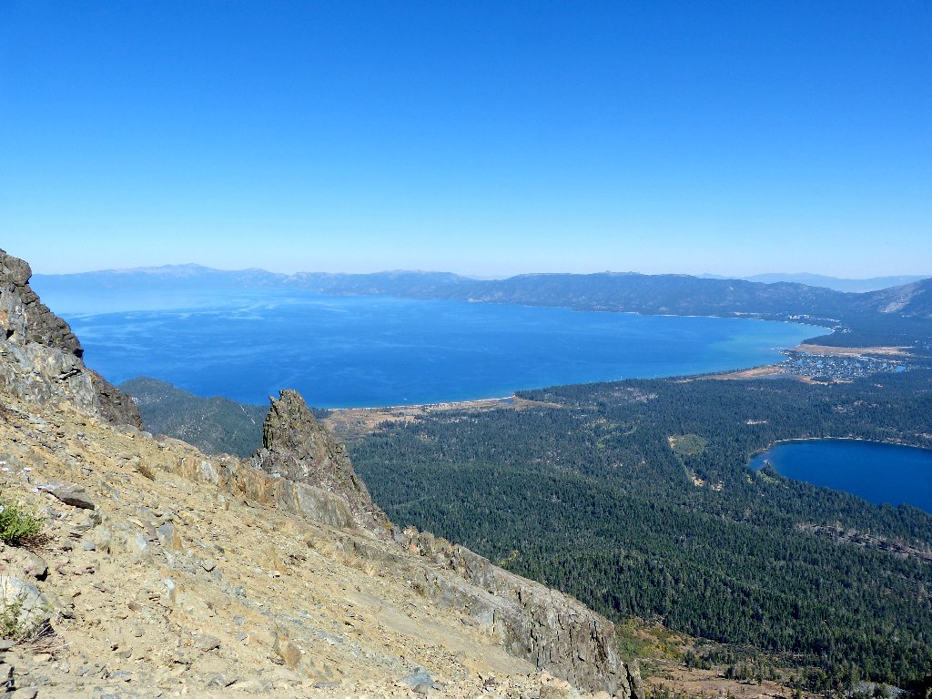
It is pretty hazy in the Tahoe Basin today; none of today's photographs will be featured on future postcards.
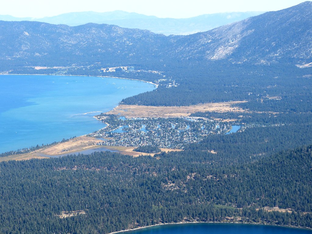
Tahoe Keys, the Stateline Hotels, and the distant Pine Nut Mountains
When my family lived in Carson City back in the 1950s, we would drive up into those mountains in the fall, spread out some bedsheets below a pinion pine tree, then shake the branches until all the nuts fell out of the cones. Roasting them with salt made for a delicious treat.
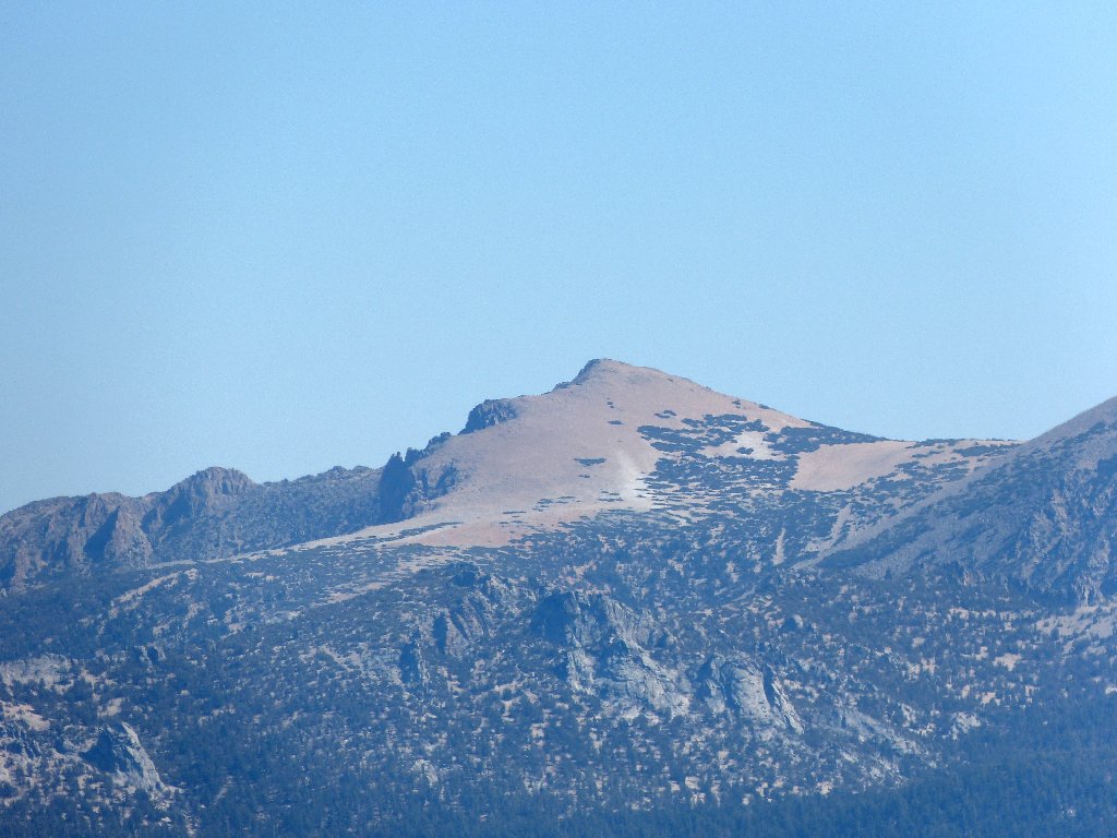
Above South Tahoe, Freel Peak is the Tahoe Basin's highest at 10886'
There is a bottleneck at the summit. Everyone wants to sign the register in the little plastic jar, and they want to read some of the (frequently silly) comments as well.
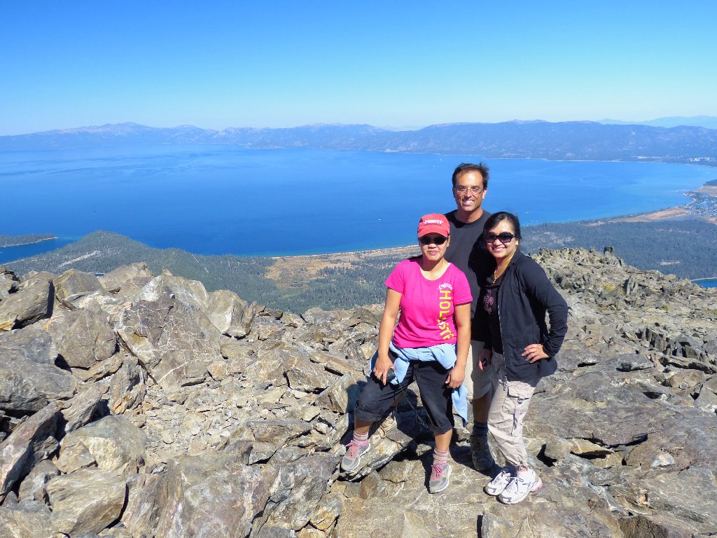
The actual tippy-top is readily accessible
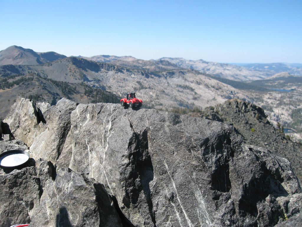
While awaiting our turn on the rock, more photos are in order.
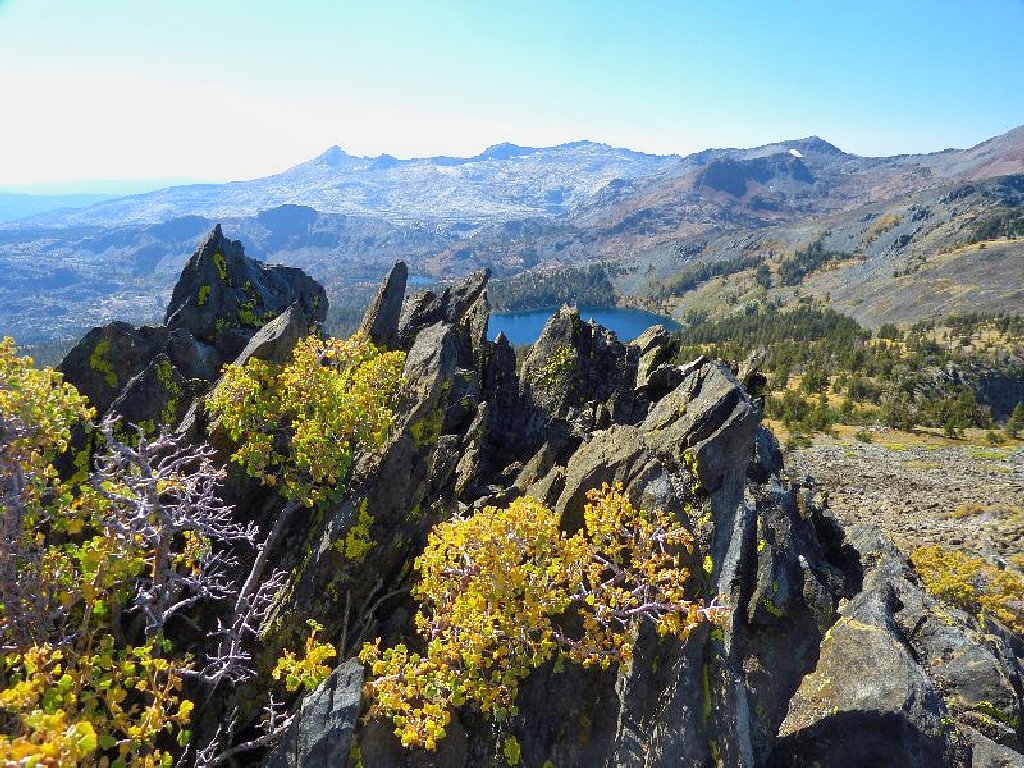
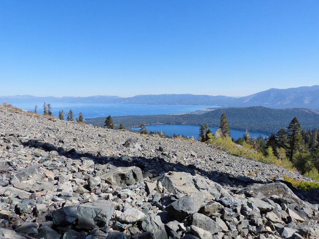
Gilmore Lake, Susie Lake, and the Crystal Range
Toward the back of that scene is Lake Aloha, or what's left of it. Late enough in the season, one actually can walk across the lake on the exposed granite slabs.
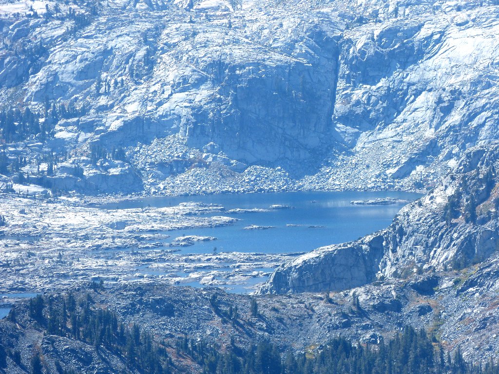
The heart of Desolation Valley
Although my original guess was correct, it still took me a while, by referencing both a topo map and Google Earth, to positively identify the big lake to the north. The confusion arises from the fact that there are several closer lakes in that direction that happen not to be visible from Tallac's summit.
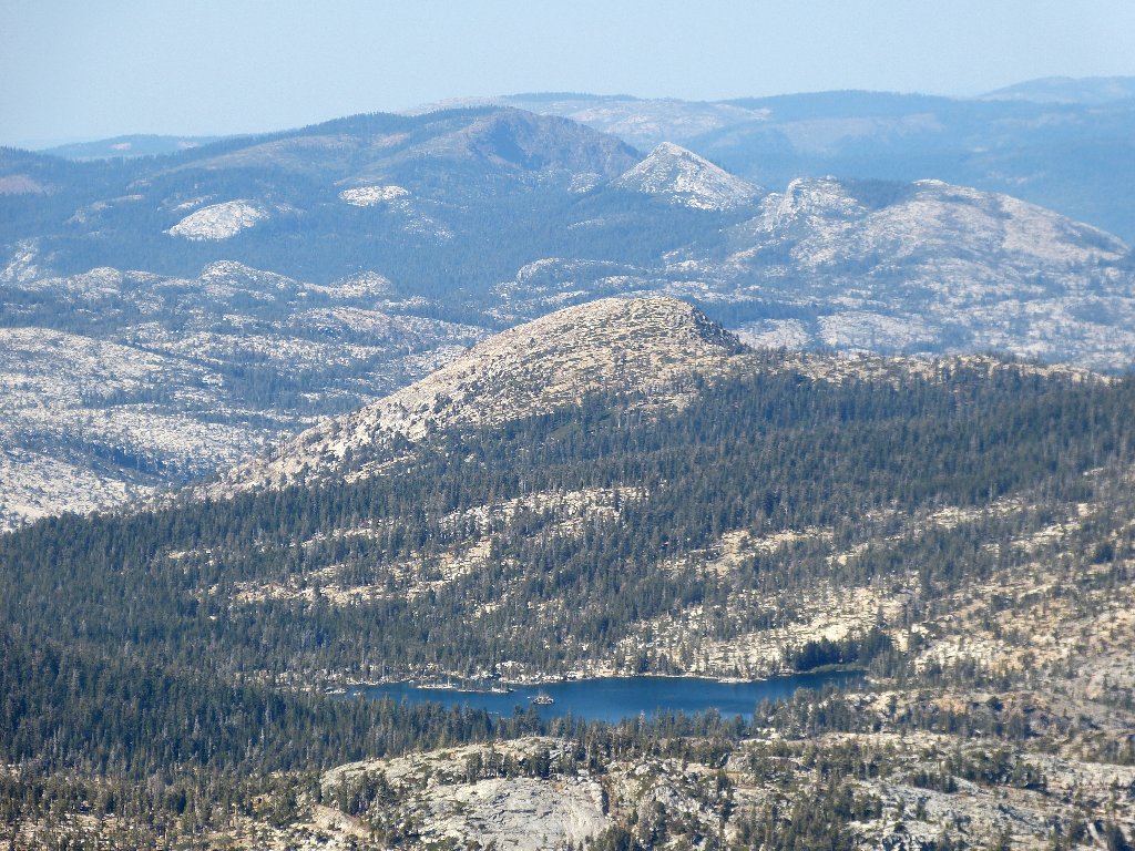
Middle Velma Lake and Middle Mountain
Fortunately, everybody's favorite lake is in constant view:
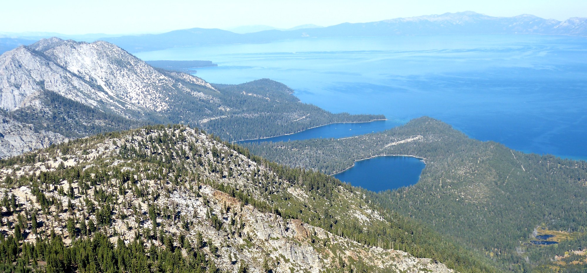
Cascade Lake, Emerald Bay, and Big Blue ⇔
There are thirteen others present at the moment
As I reminisce with a local man, I learn that John is employed at Harrah's
Club. I worked at Harrah's Reno myself back in 1966-67, but was
forced to quit because my jerk of a manager wouldn't let me have two days off
to attend a wedding — my own. In return for letting me call
home on his cell phone, I promise to make John's group world-famous
with an online photo!
Young guys: Dee, John, and Lorna
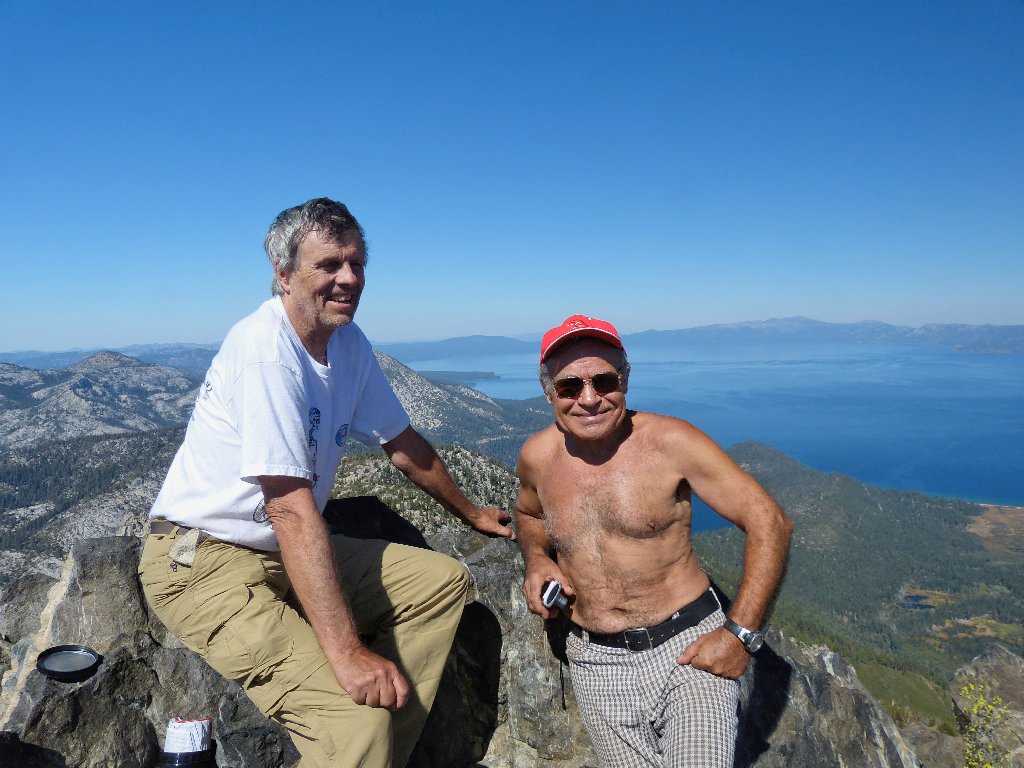
Old guys: Ted and Ali
As I discuss my website with the gang, another hiker calls out, "Are you Ted?" Although the woman is just guessing, she has truly made my day. I had long wondered when and whether I might meet someone on the trail who actually has visited my site.
Ali observes that someone took the easy way up
Ali also captures a photo of an adorable little creature that has eluded my own camera thus far:
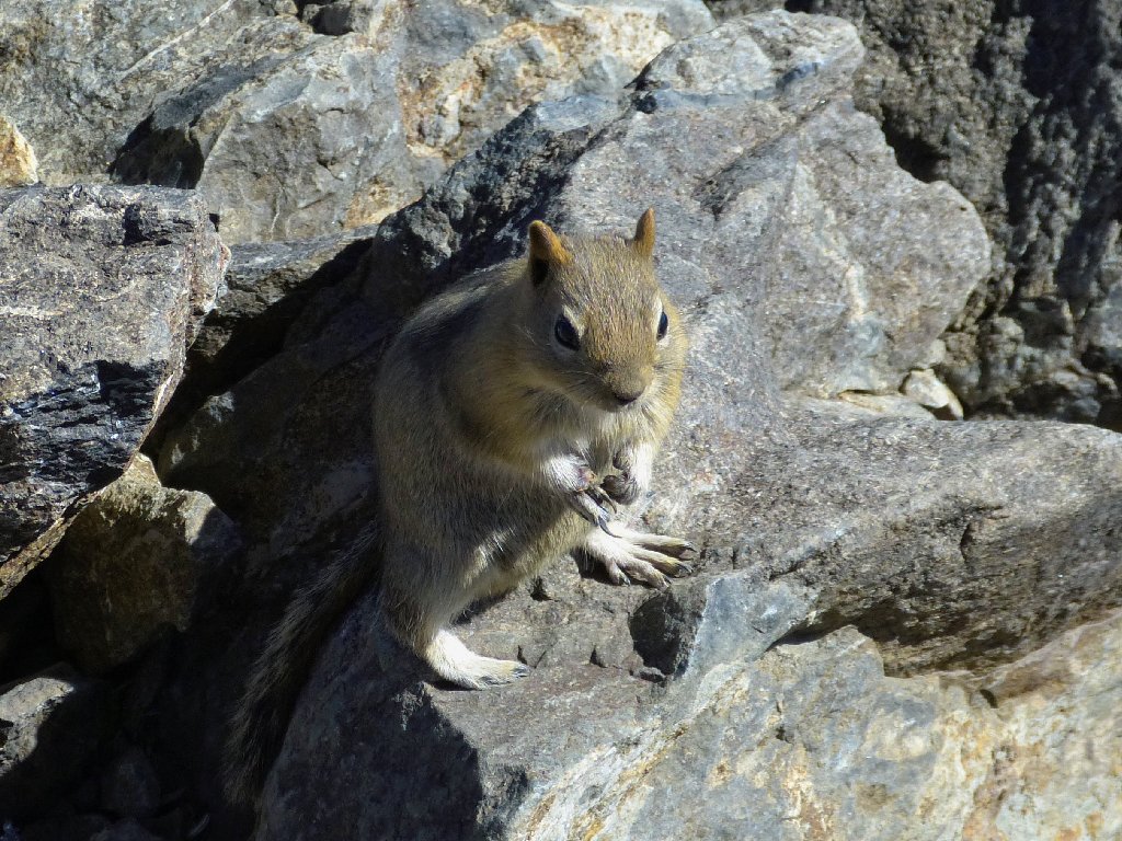
Ted's chipmunk
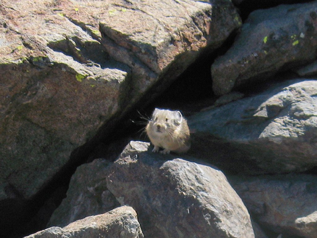
Ali's pika
A huge paddleboat shuttles regularly between South Tahoe and Emerald
Bay. The dinner cruise is especially nice, but it will set you back
$69 — each.
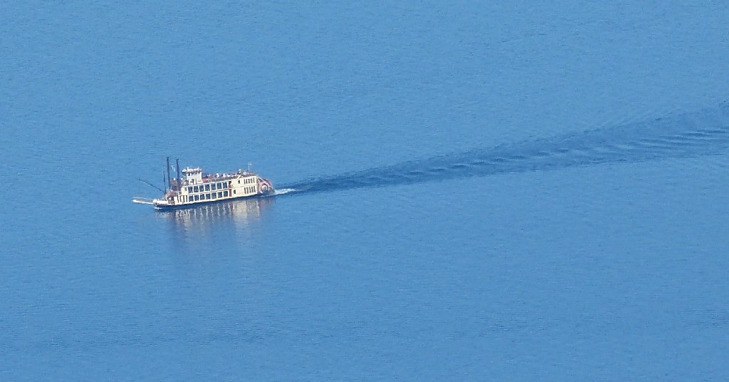
The Tahoe Queen is 3,500 feet below and nearly five miles away
As we start back after two o'clock, the lighting has improved. A hint of breeze helps to cool us off, but it lasts only a short while.
Eighteen miles south is Round Top, 10380'
As we start down the big switchback, other hikers are ahead of us. The two at bottom left in the next photo are the ones that knew about my website. Because Ali and I predictably walk downhill too fast for our own good, we catch up with those guys before long.
Hailing from Redding, Theresa and Mike ask about other trails in the area, and they share with us that Mike had climbed Half Dome last year on the same day that we did. Small world.
This is becoming hard on the knees
Back on the switchbacks
Theresa and Mike overlook Cathedral Lake
The setting is more tranquil without the dogs
More floating islands
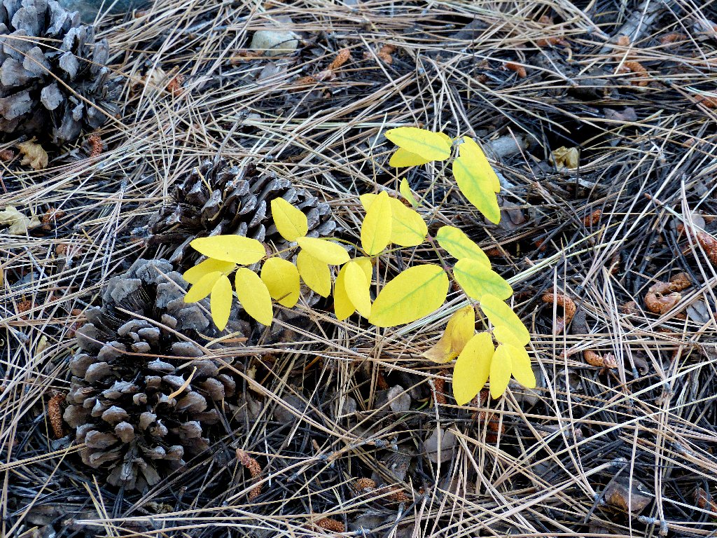
Fall is just getting started
Although my legs are weary, I cannot slow down the pace. Not only would Ali run me over from behind, but the clock is becoming a factor. I am scheduled to attend a concert in Davis tonight, and as it is I will make it home with barely enough time for a shower before leaving town again.
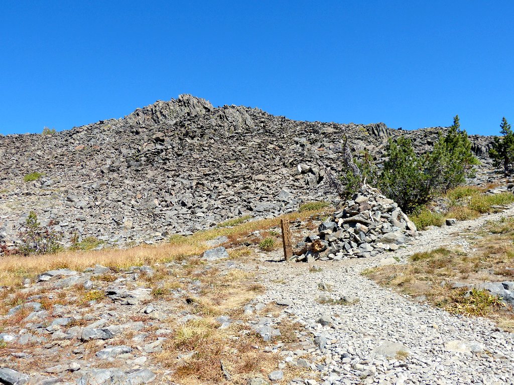
Down the burnt ridge to the finish
§: Most of the trails on the west side of Desolation Wilderness
are so popular that the Forest Service has been compelled to reinforce them
with gruss to prevent rapid deterioration. One unfortunate tradeoff
is that the rocky going is very hard on the feet. Since those
specific body parts have become a primary focus of this aging hiker,
I always downgrade a rough trail in the ratings. Of course,
younger hikers might not be so concerned about such things.
The piano concert was great, because Lang Lang is as talented as they come. Unfortunately, my knees were sufficiently sore from the rapid descent that it was all I could do to sit still during the performance. I must nevertheless upgrade this outing for two reasons: Mount Tallac has been on my bucket list for fifty years, and I had such a good time on the summit today.
| Scenery |  |
| Difficulty |  |
| Personality |  |
| Solitude |  |