
Desolation Wilderness
|
Pyramid Peak Desolation Wilderness |
–Rusty Baille
September 10, 2012
Although I am not feeling particularly energetic today, it has been a full week since my last hike; so I must do something. Rocky Canyon is used primarily as an alternative access to Pyramid Peak in Desolation Wilderness. I believe that that trail might provide an easier way into some little lakes that I never have seen, near Horsetail Falls; I'll just climb up a ways and check it out.
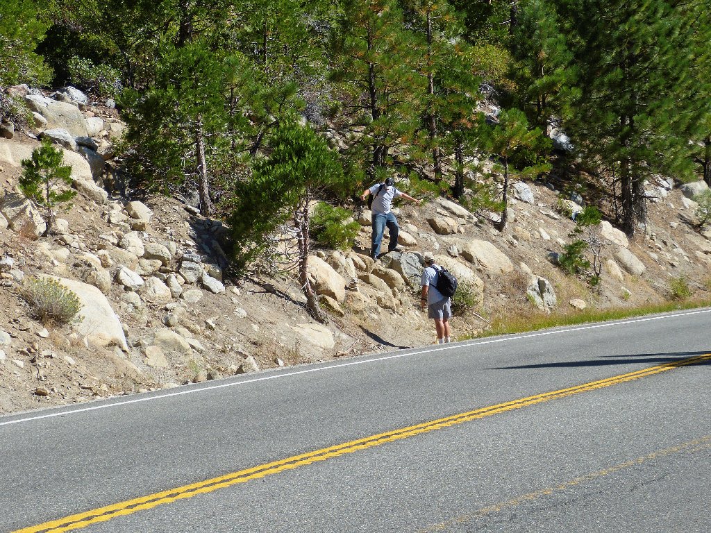
The unmarked trailhead beside Highway-50
Getting started
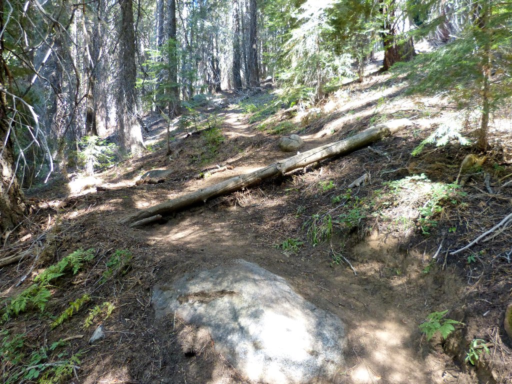
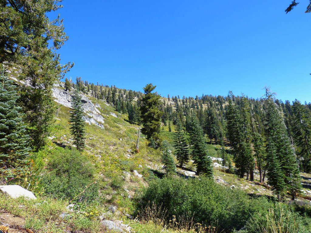
As expected, the route is very steep and unforgiving; in fact, this is the steepest trail I ever have seen. Short steps are necessary to keep myself from tiring too quickly.
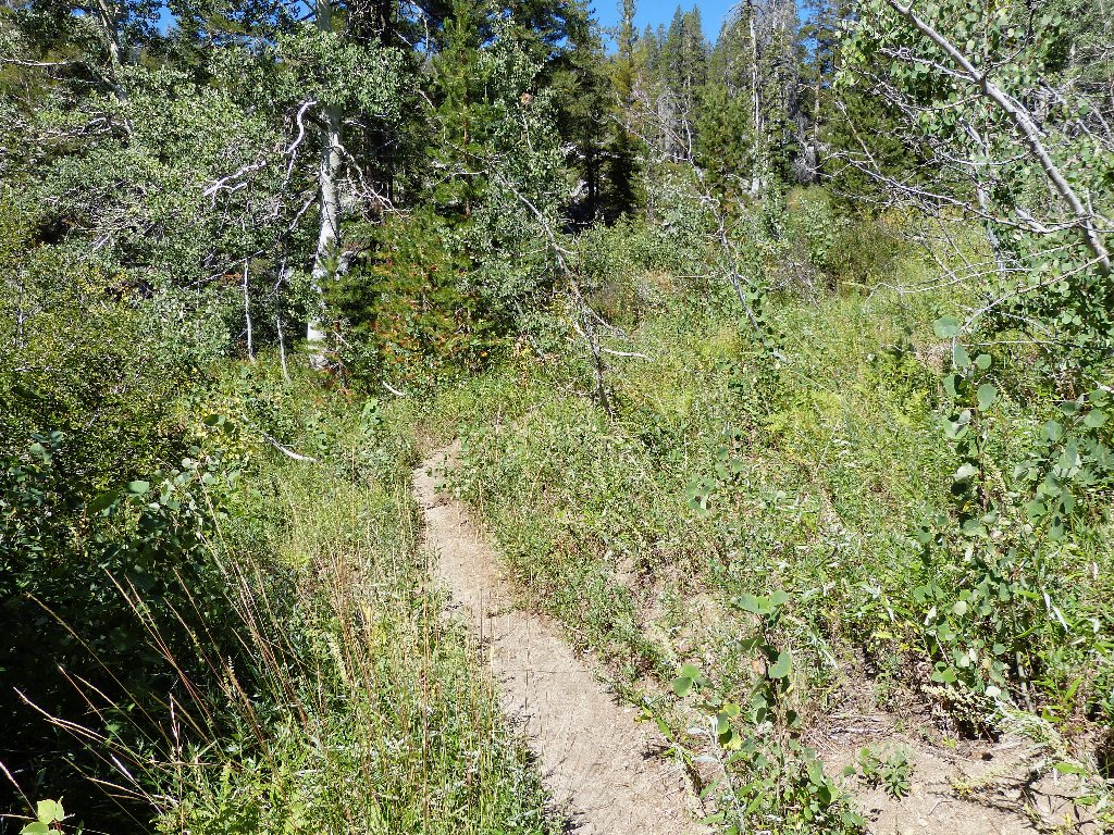
A rare flat spot through an aspen grove
After a couple of miles, I hear voices behind me. Although I stop regularly to rest, the voices never catch up; those other hikers must be taking breaks as well.
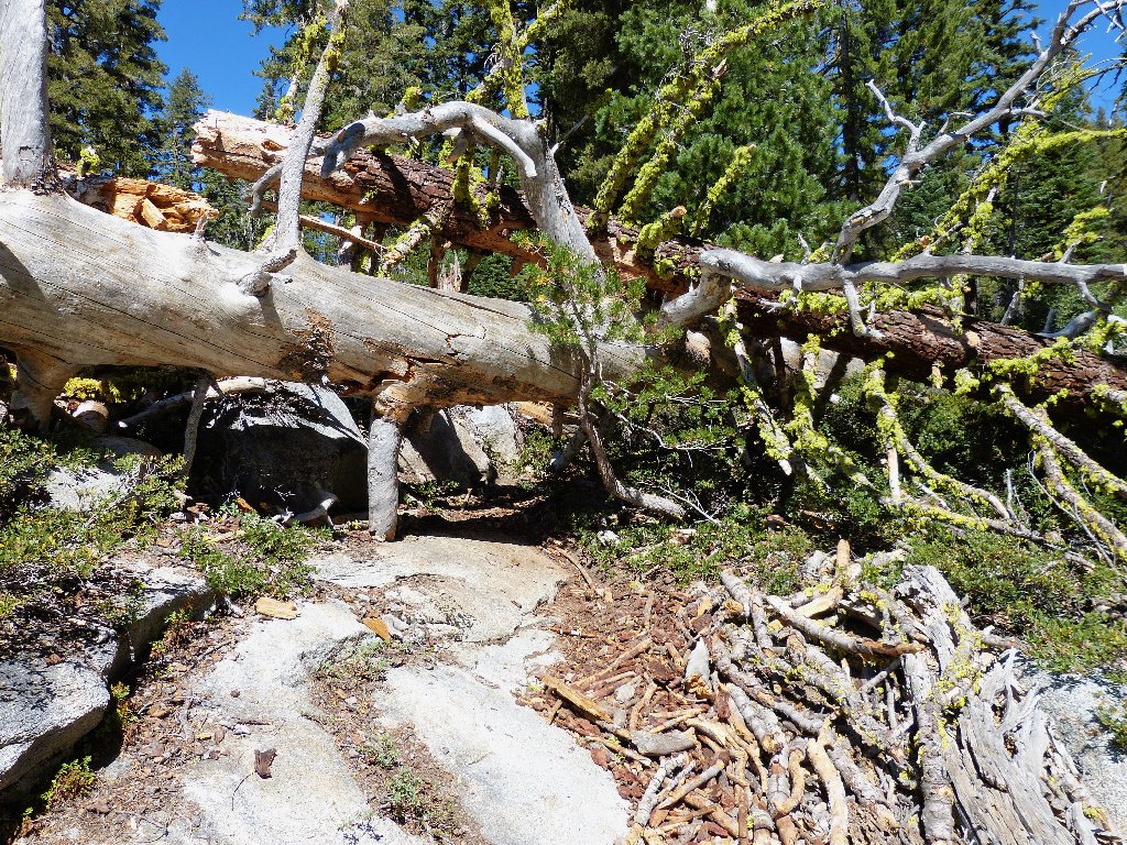
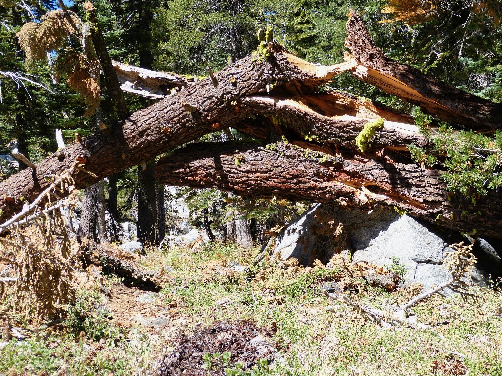
Trail obstacles
I had marked waypoints for possible detours from the trail; but whenever
I reach one, the cross-country option doesn't look very exciting.
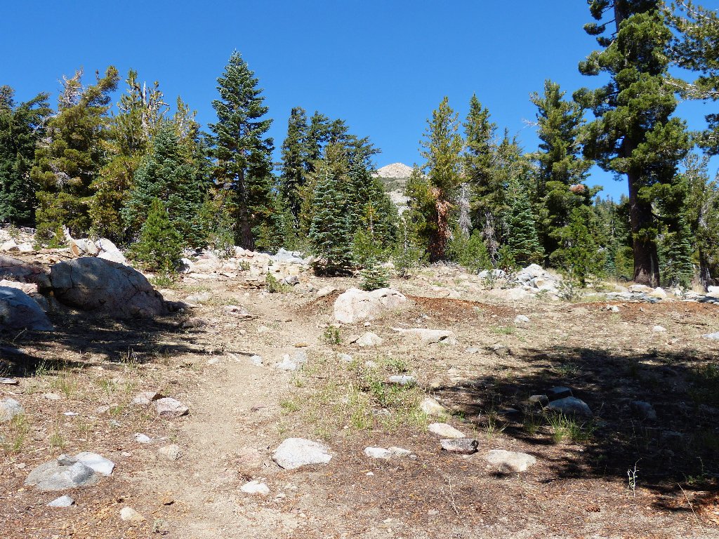
Perhaps I can just find a high point and overlook the area of interest.
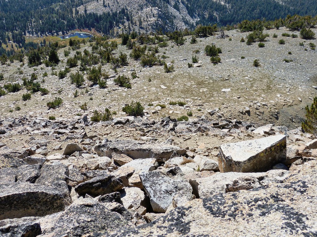
The views I had in mind are over there somewhere
Believing that I have ascended about 1,500 feet, I check my GPS, and it
reads nearly 3,000 feet! Whoa! Having climbed that much
only a few times ever, I tend to be better aware of such things.
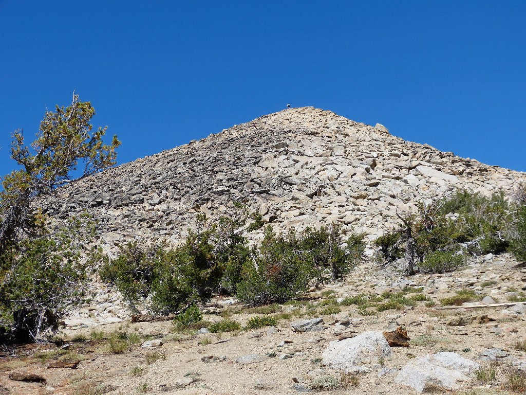
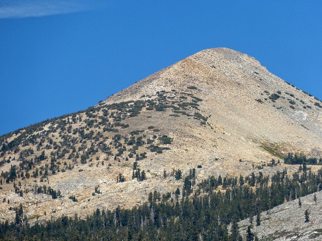
Pyramid Peak comes into view
To complicate matters, the mountain now is visible between the trees.
Desolation's highest peak is, of course, on my bucket list; yet I had planned
an easier trek by way of Lyons Creek to the west. That last thing in
today's plan was a 4,100-foot climb — something I have
done only once, and not for 51 years; on top of that, I already have consumed
nearly half my water supply, and I know of no way to replenish it.
Here I am just a thousand feet from the summit, though; and now I actually
am considering whether to go all the way. This is crazy.
The mysterious voices have caught up with me. Four gentlemen from Sacramento are, of course, headed for the top. The eldest of the group, and father of one of the others, has done this many times. I seem compelled to follow them and see what develops.
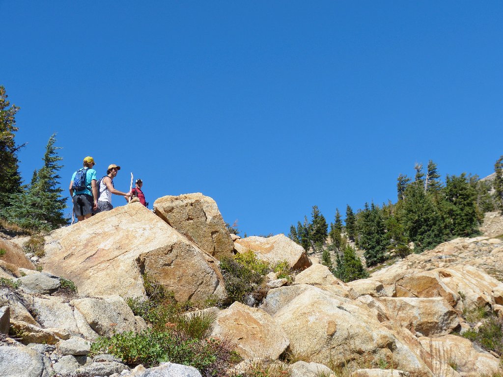
Those guys are much faster than I
After another half-hour or so, I reach the base of the summit block,
observing that the others already are near the top. It is only now
that I actually commit to the ascent and start clambering up among the
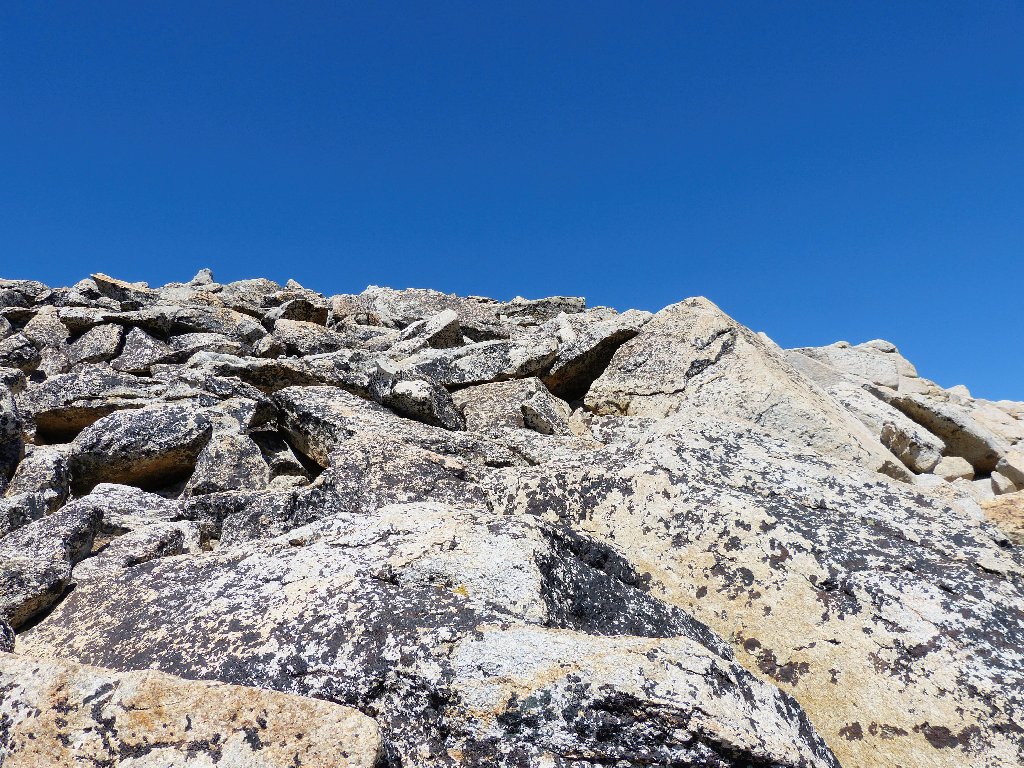
refrigerator-sized talus boulders.
There is no turning back now
The coloration of the talus is most interesting The shadow-like
effect of the darker color on the left, suggesting a more angular shape to the
hilltop, gives the mountain its pyramid-like appearance from a distance.
It's not going to be easy. What was my reason for doing this?
The scramble is difficult, and a stiff breeze makes it somewhat dangerous. I stop on several occasions just to wait for the wind to die down a bit.
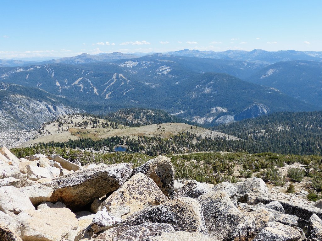
To the far south-center are Round Top and The Sisters;
nearer is the Sierra at Tahoe Ski Resort
That guy has made it off the summit block safely
As I am resting for a final time just below the summit, the Sacramento
foursome heads down, wishing me well and leaving me the whole place to
myself. The standard stone wind-shelter is welcome, and the
standard cache box is full of old visitor logs and other goodies.
I hope that it isn't bad form to drop off a couple of calling cards,
because all that I am trying to advertise are these hiking journals.
Having taken care of business, it is time to stand up and look around, whereupon I promptly find out just why I did come up here. Wow!
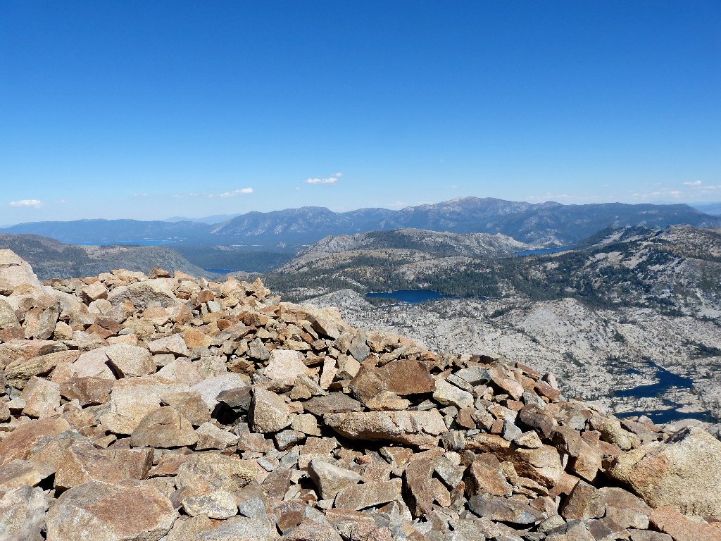
In the background are Lake Tahoe, Fallen Leaf Lake,
Lake of the Woods, and Lower Echo Lake
Front to back: Gefo, Toem, Osma (the little guy on the right), and Ropi Lakes
That area of lower Desolation Valley is more than 2,300 feet below. All those lakes excepting Ropi have not been previously viewed by me. Many of the seemingly strange names have a common origin; they commemorate members of the Mount Ralston Fish Planting Club of the 1920s. Gefo is an acronym for George Foss, Toem for Tom Emory, Ropi for Ross Pierce, and (presumably) Osma for Oswald Maybeck. There are others.
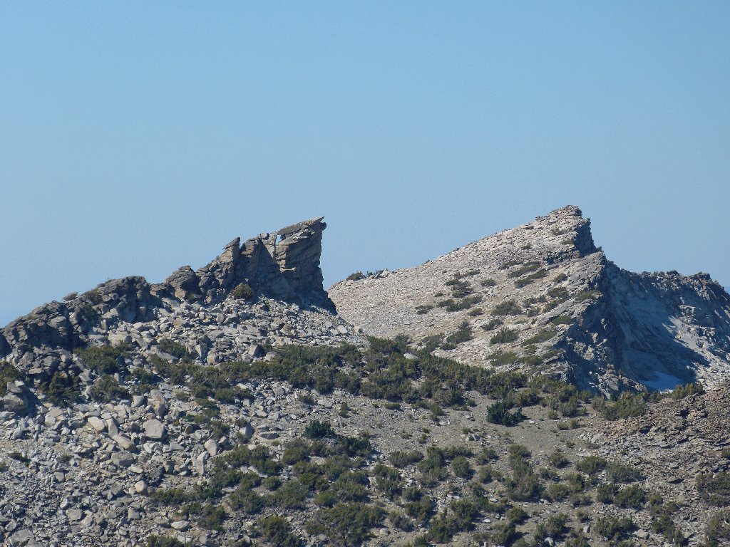
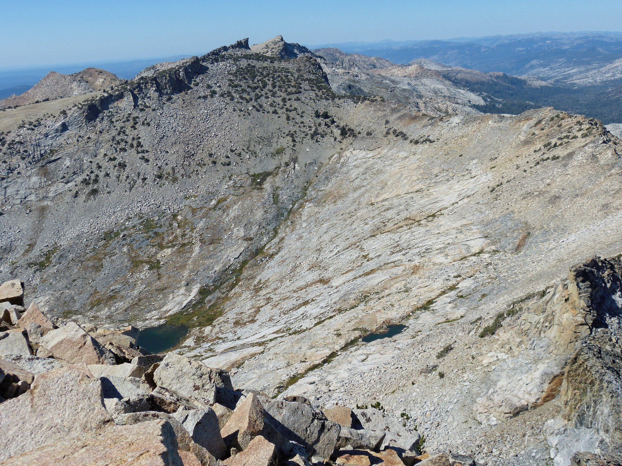
Mount Agassiz, 9967', and Mount Price, 9974'
Agassiz is not named on the Topo map, but a summit block as spectacular as that one certainly is deserving of a name. In that regard, however, someone could have done better, because there are two other Sierra peaks named Agassiz. A couple of years ago some hiker got himself into trouble climbing around over there, and needed to be rescued by a helicopter.
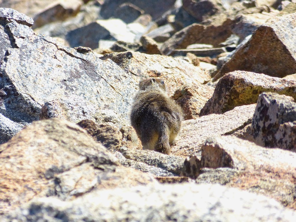
The marmot seems uncharacteristically disinterested in a freebie
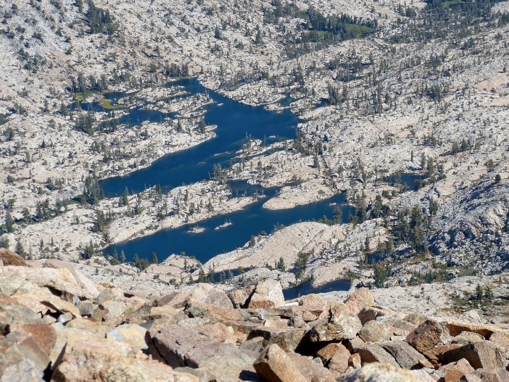
Focusing on the heart of Desolation Valley:
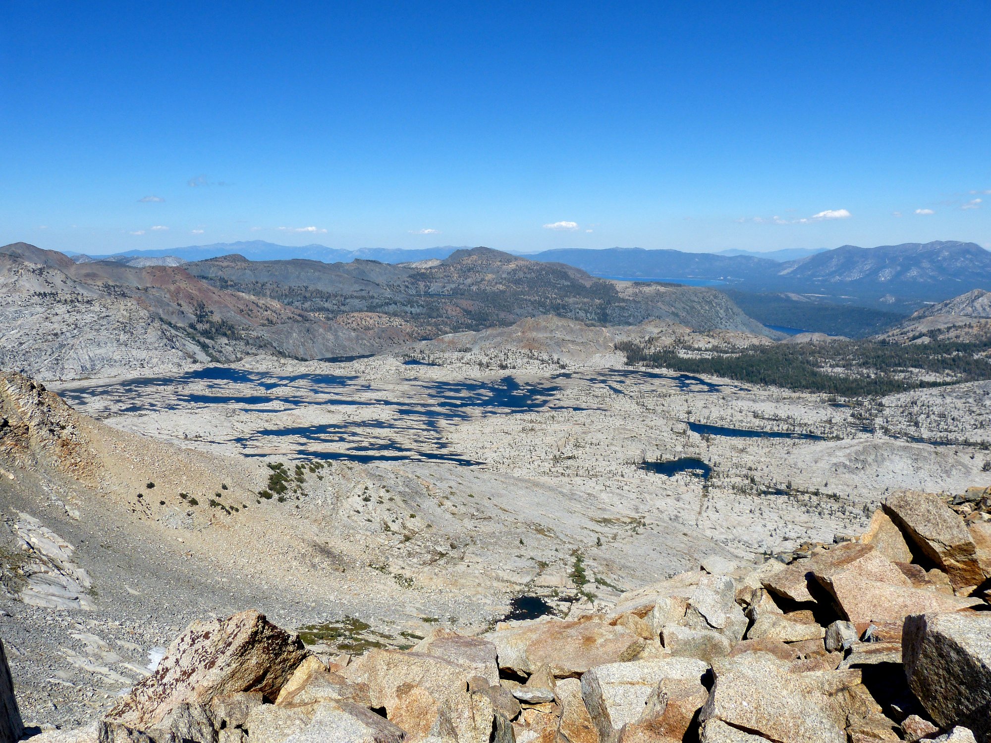
Lake Aloha is quite depleted ⇔
Just behind Aloha are Heather Lake and Lake le Conte. Hanging
underneath Mount Tallac in the distance is Gilmore Lake, and at
center-right (closest) in the photo is little Waca (Walter
Campbell) Lake. I had not seen any of those previously, either.
Below Agassiz are Noelle Lake (left) and a tiny tarn ⇔
Those two represent nine or ten new notches on my "lake-bagger" belt.
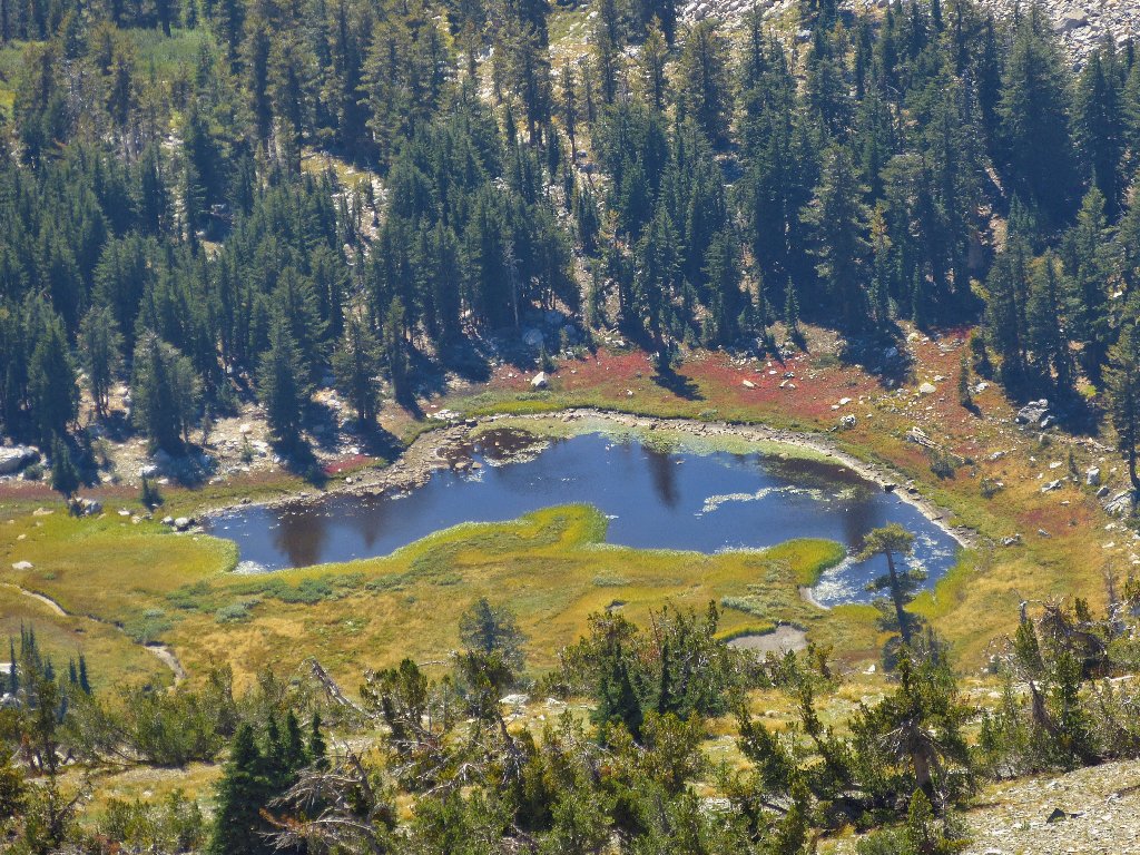
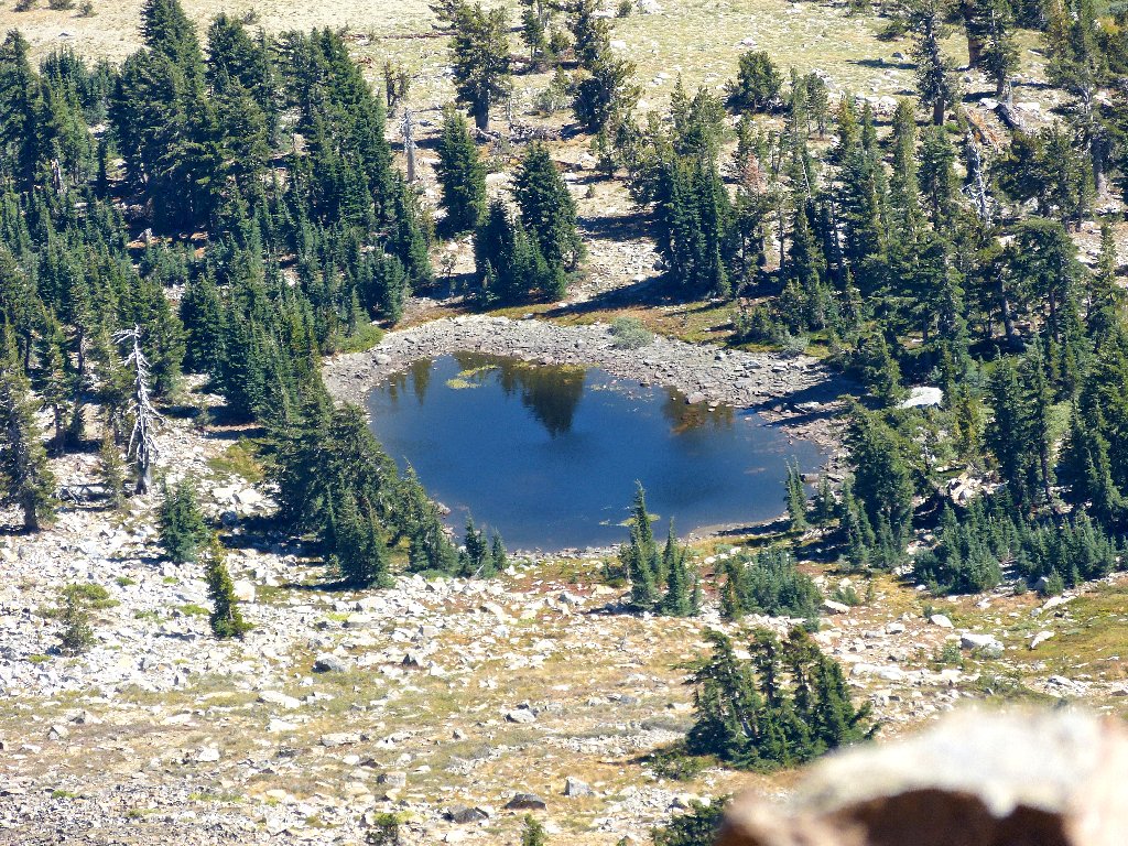
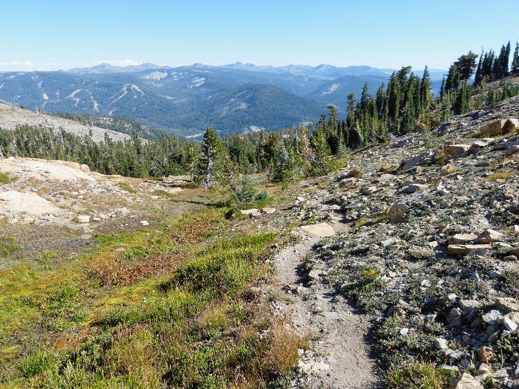
Nearby ponds
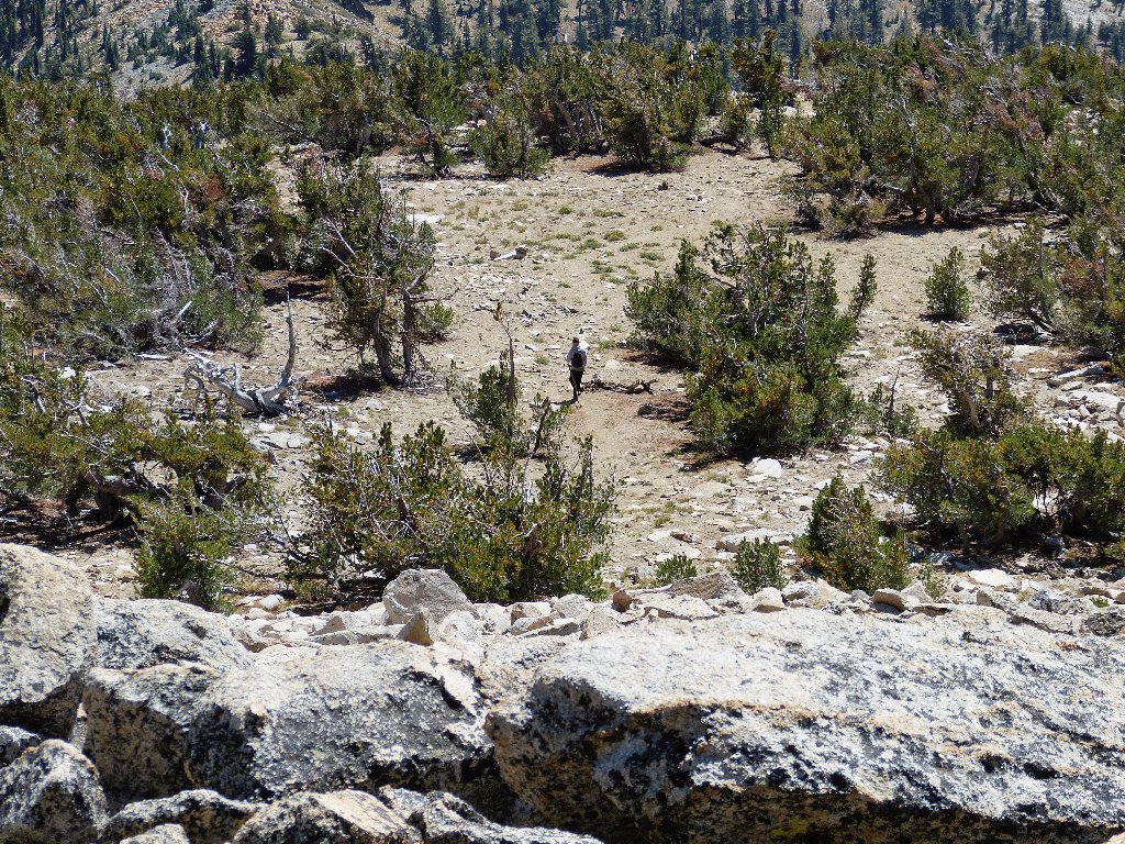
Having noticed during the climb up the talus that it might me easier to exit on the west side of the peak, I head over that way, and it does prove to be less of a hassle. There also does appear to be some water available nearby; if I were desperate, I could get some.
There even are traces of trail through the rock
My alternate route has left me some distance from the established one,
but there are footprints all over the hillside. Veering downward and
generally toward the left, I finally relocate the trail after about a mile
of steep but easy cross-country going.
It was more fun without a trail
From here it is another 3,000 feet down over three miles. The total
descent takes nearly three hours, including stops to rest my poor overworked
knees. I make it back to the car at 6 p.m.
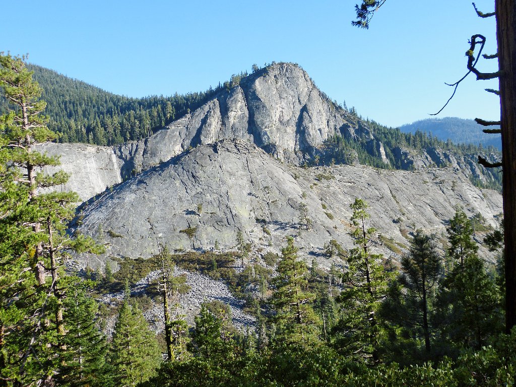
Lovers Leap, on the other side of US-50
§: There is nothing to see on the way up Rocky Canyon excepting the
trail right in front of one's face, which is easy to follow. Even at the
base of the talus block, the scenery is nothing special. The views from
the summit itself, however, are outstanding and are worth any effort.
I still have difficulty believing what I did today. Had I actually
planned an assault of Pyramid Peak, I would have left home sooner, in cooler
weather, opted for the prettier and easier access via Lake Sylvia, carried
twice as much water, and worn knee braces going down. Yes, this entire
expedition was crazy. Once I discovered that I already had climbed
three-quarters of the way, though, I guess that the continuation was
inevitable.
Another undeniable benefit resulted from today's outing. I didn't know that I still was capable of climbing 4,100 feet up and down the steepest trail in my experience, and with inadequate supplies to boot. Hell, I'm only seventy years old; bring on the next adventure!
| Scenery |  |
| Difficulty |  |
| Personality |  |
| Adventure | |
| Solitude | |

These photos, shot eleven days later from the summit of Lovers Leap, add a little perspective to the Rocky Canyon route:
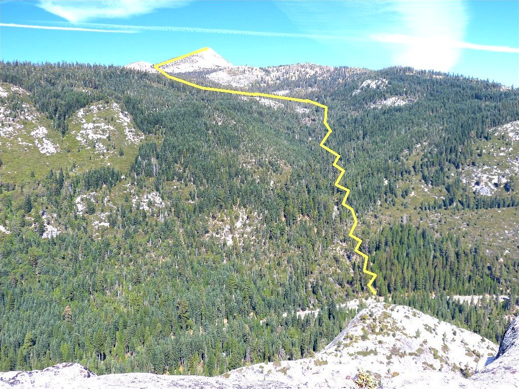
Pyramid Peak, the short but hard way
Overview of the summit area
 |
September 2021: The lower half of the Rocky Canyon Route has burned. |
