
Hoover Wilderness
|
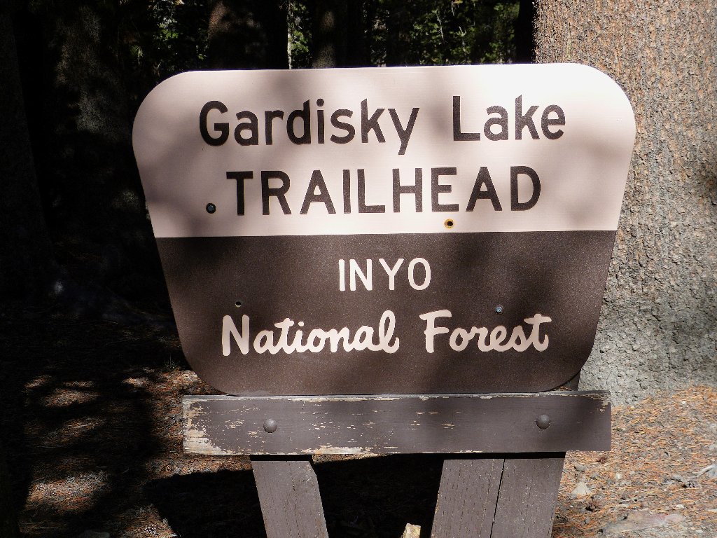
Gardisky Lake Hoover Wilderness |
September 3, 2012
After my grand foray up White Mountain Peak yesterday, I don't feel much like another lengthy hike. That is unfortunate, because near my motel room in Big Pine are numerous walks on my bucket list, all rather strenuous. It would seem almost criminal, however, to waste this opportunity and simply drive the 300 miles home without communing with nature in some fashion. I will detour up near Tioga Pass and do a shorter walk.
Although I was near here just last week on the Treble Lake Loop (Hike #180), today I will stay on the other side of Saddlebag Lake Road.
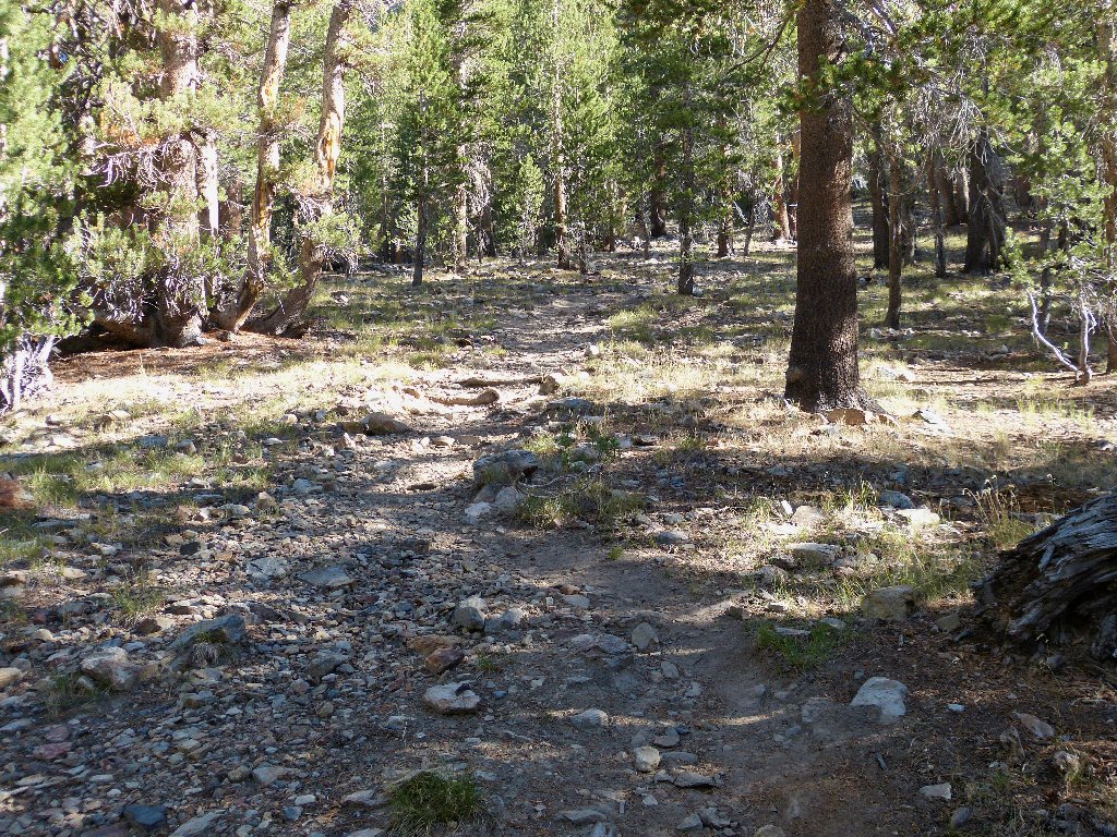
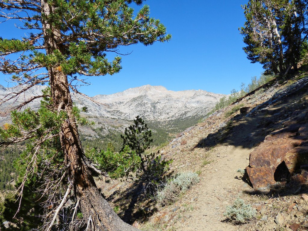
The creek predictably is dry
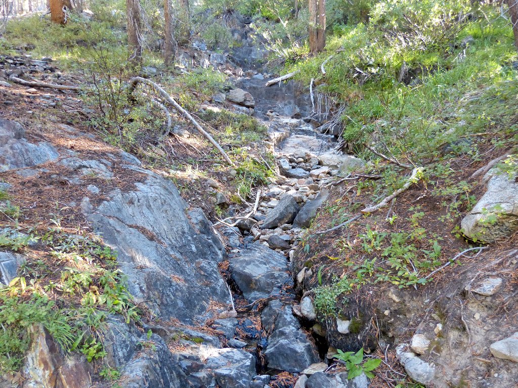
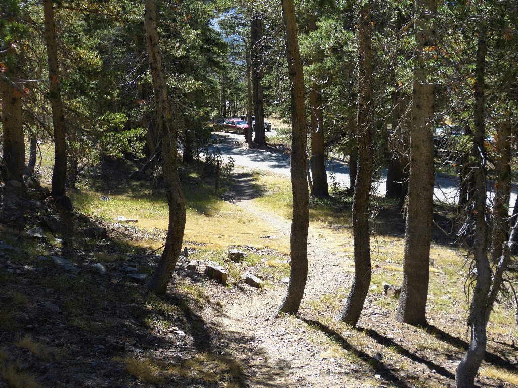
The trail heads straight up the hill
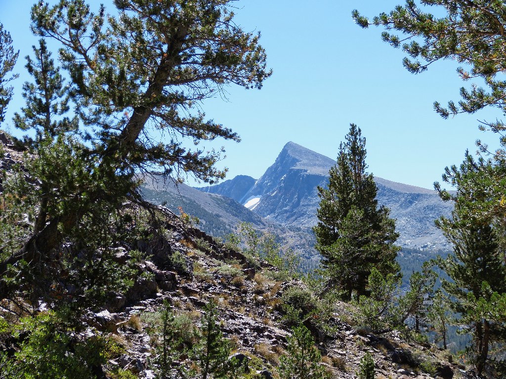
Mount Conness, 12589'
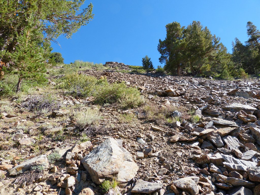
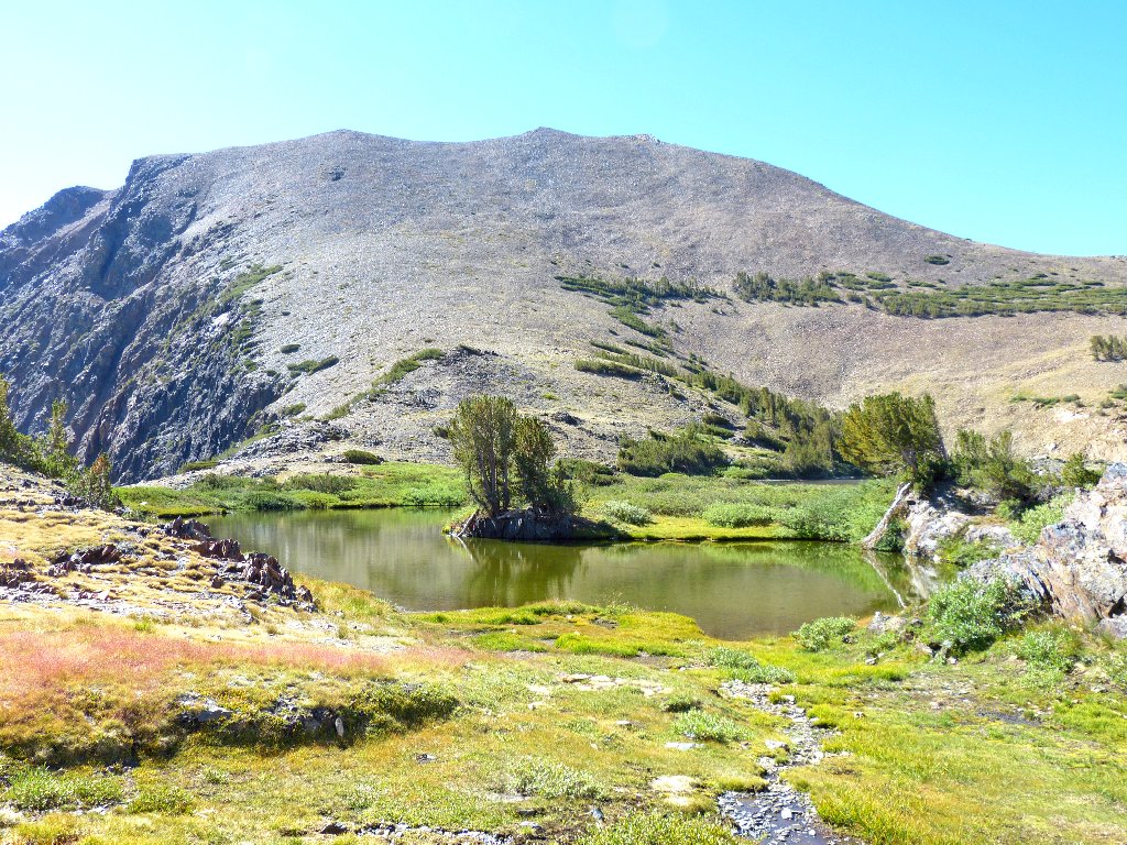
Although the route is quite steep, it also is quite short. Atop a little plateau is the destination.
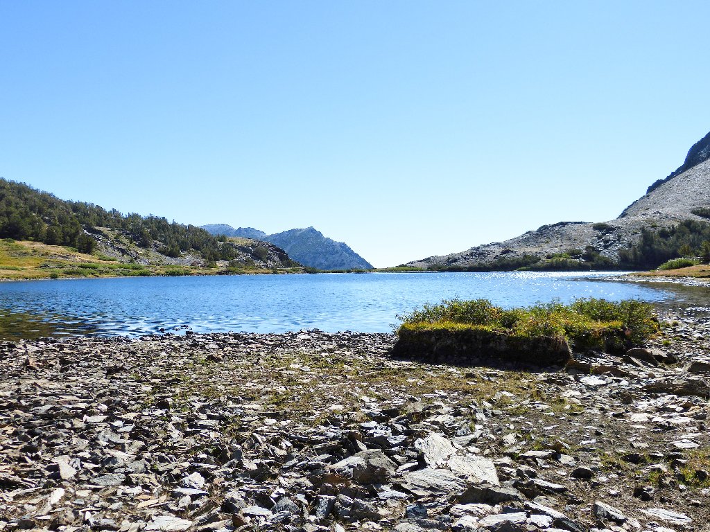
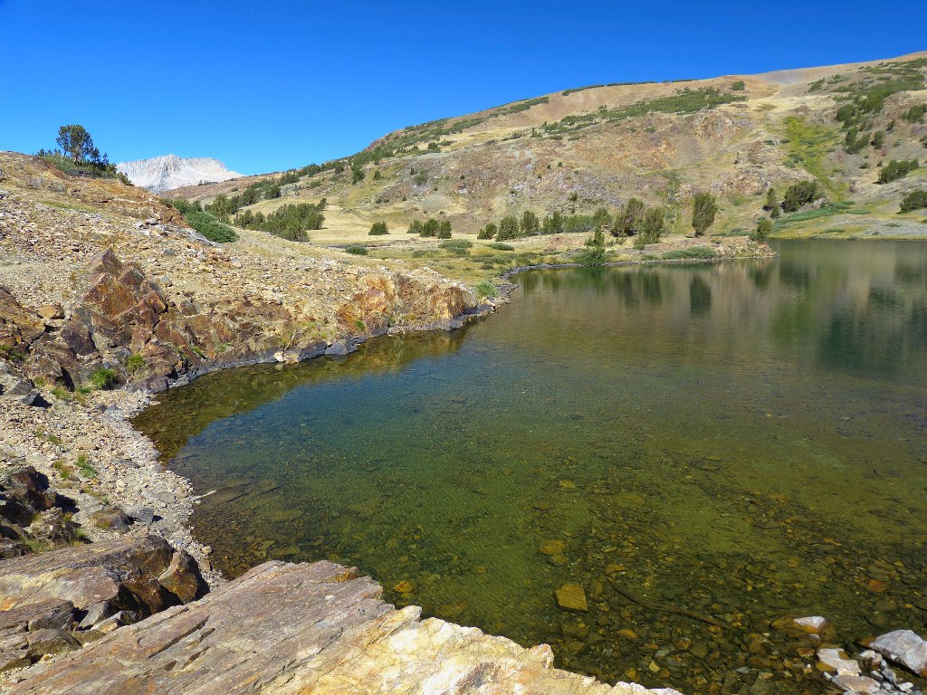
Gardisky Lake, 10485'
In 1932 Mrs. Everett Spuller named the lake after Al Gardisky, who had built a cabin east of Tioga Pass in 1919 and added a store in 1920. Those facilities now are part of the Tioga Pass Resort, which is located just over a mile from the lake.
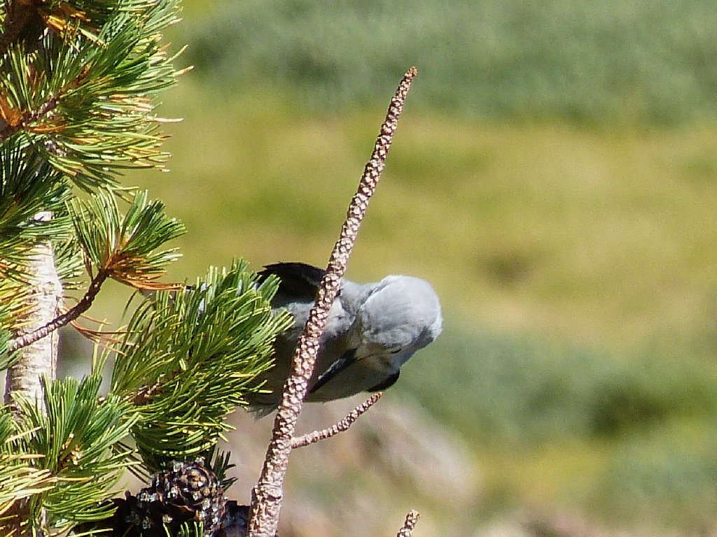
A Clark's Nutcracker entertains me for a while
Naturally, I must circle the lake if I can. The grassy area to the left is a good place to start.
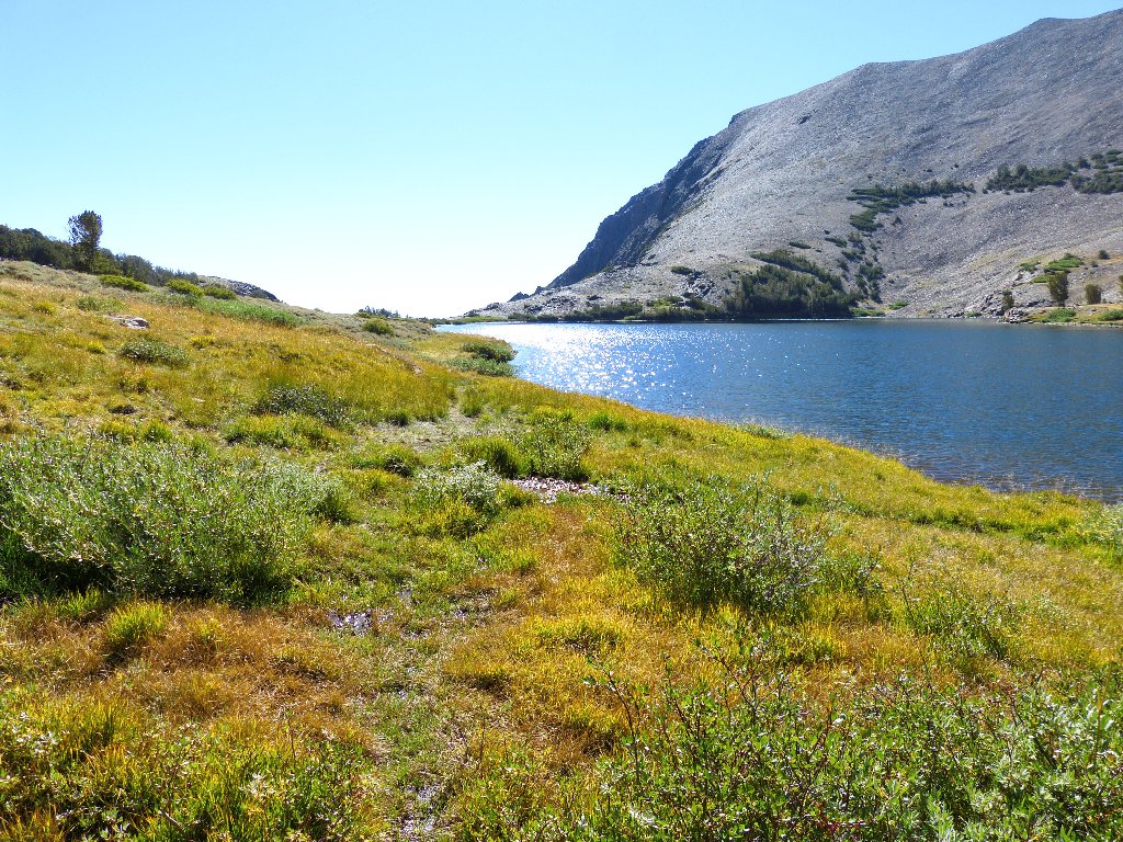
The lake hangs right at the edge of a cliff
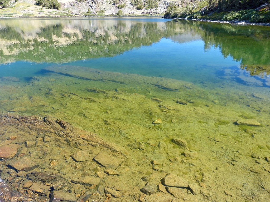
This little basin is typical of the area. Even in late season and with little running water around, there remains enough green to keep me and my camera happy.
Tioga Peak, 11526'
Originally I had planned also to climb the peak, it being little more than a thousand
feet extra — but not today; I will let that other guy over there do it
for me.
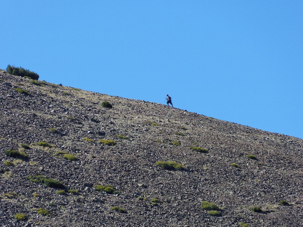
My surrogate peak-bagger
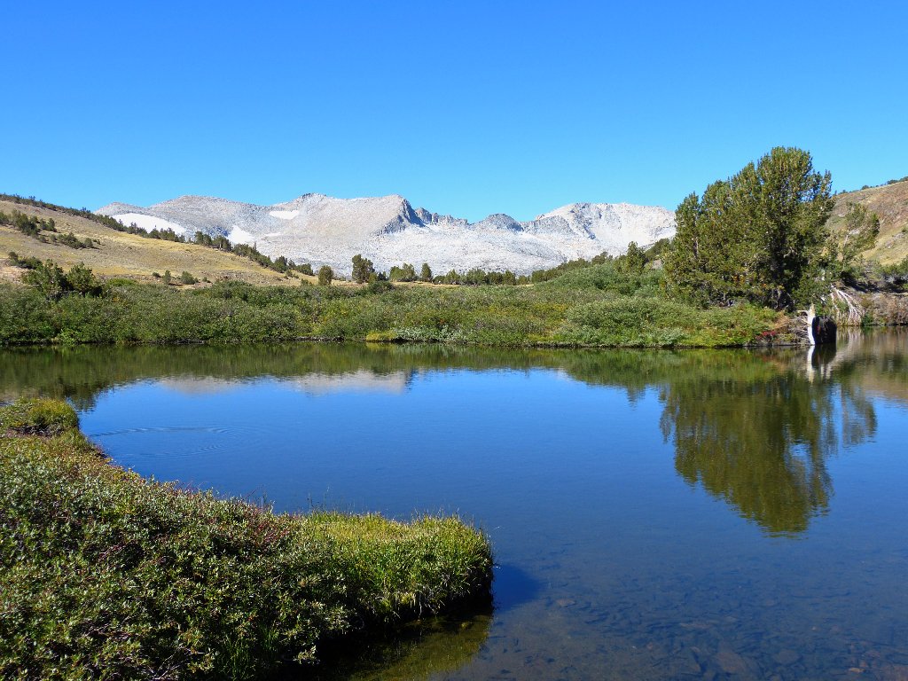
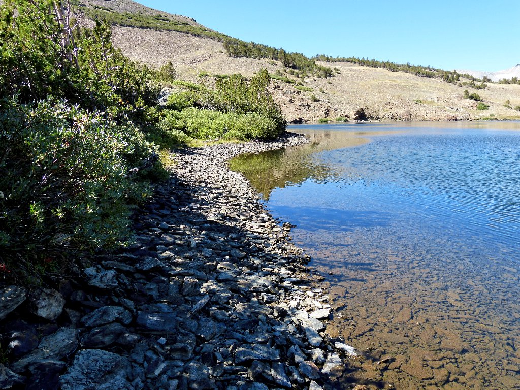
The lake empties into this little pond
In earlier season, a spectacular cascade would be just below me, and I would do whatever was necessary to get a look at it. Today, of course, nothing is there.
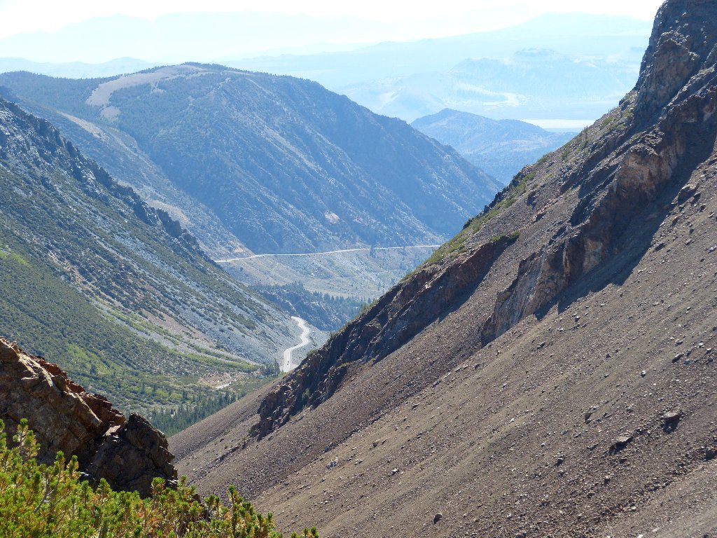
The Tioga Road
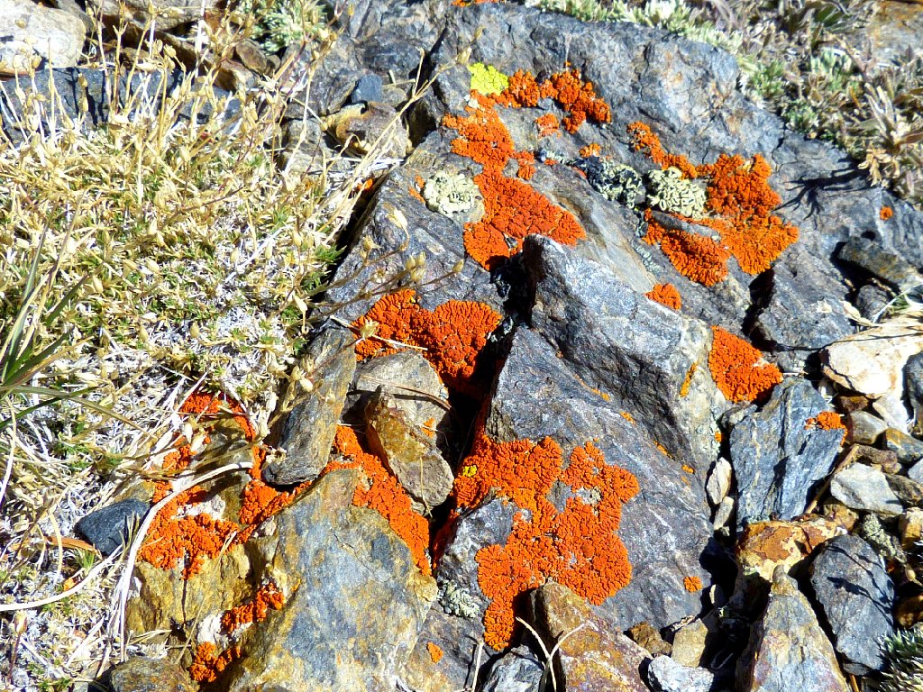
Golden Hair Lichen
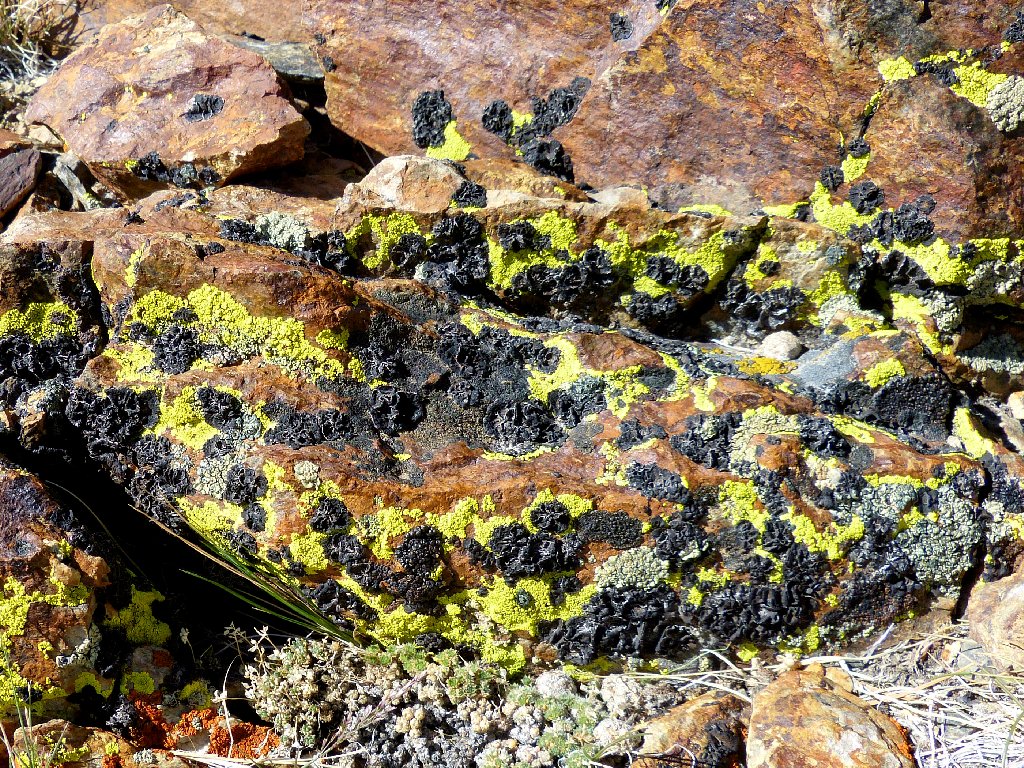
Bumpy Map Lichen
Put all the area's colors together, and the result is spectacular:
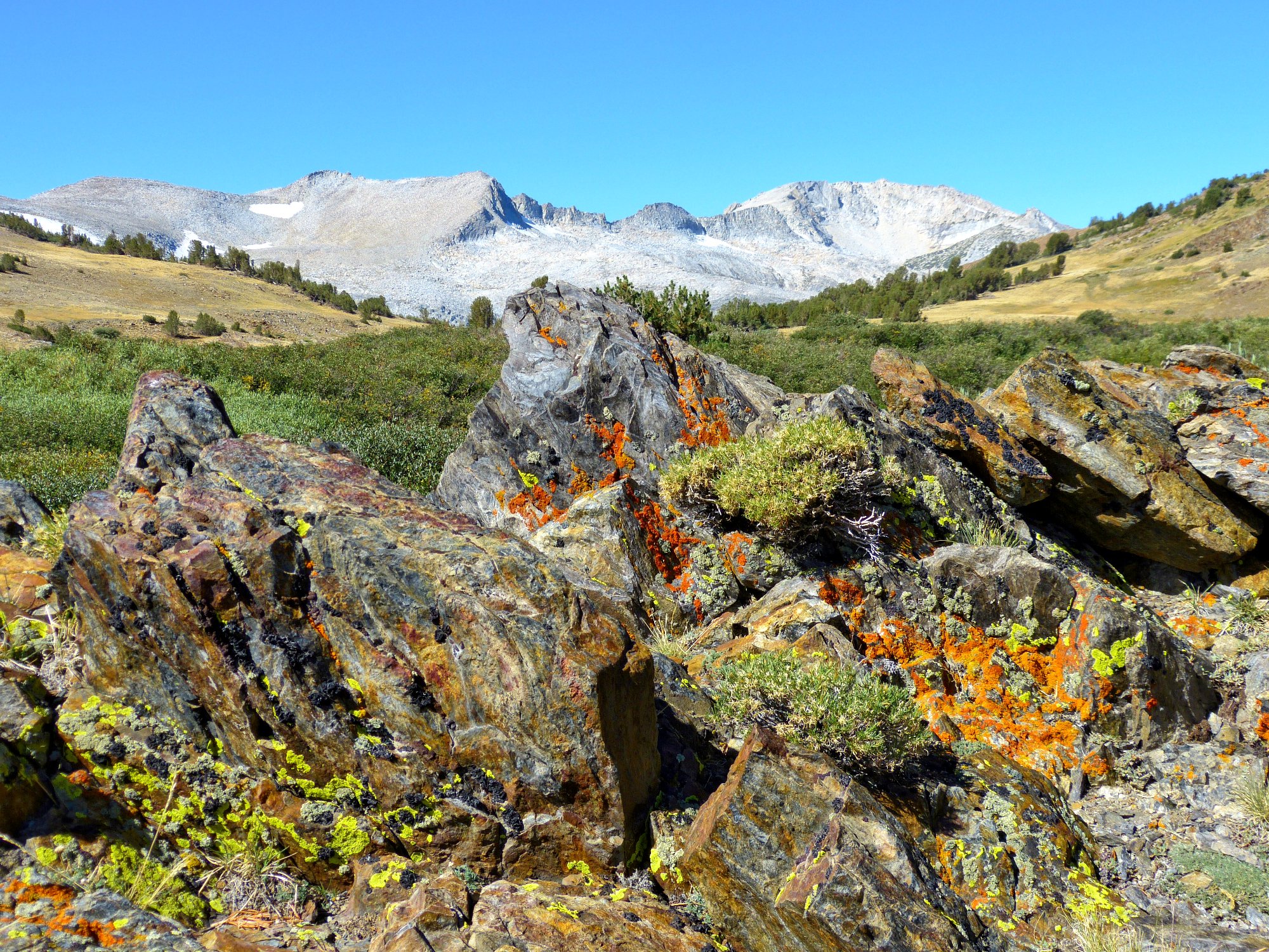
This is why I go hiking ⇔
The easiest way to continue around the south shore is to stay on the 'beach' exposed by the low water level.
Walking the path of least resistance
A couple of fishers are over here but, according to one of them, "They are not biting".
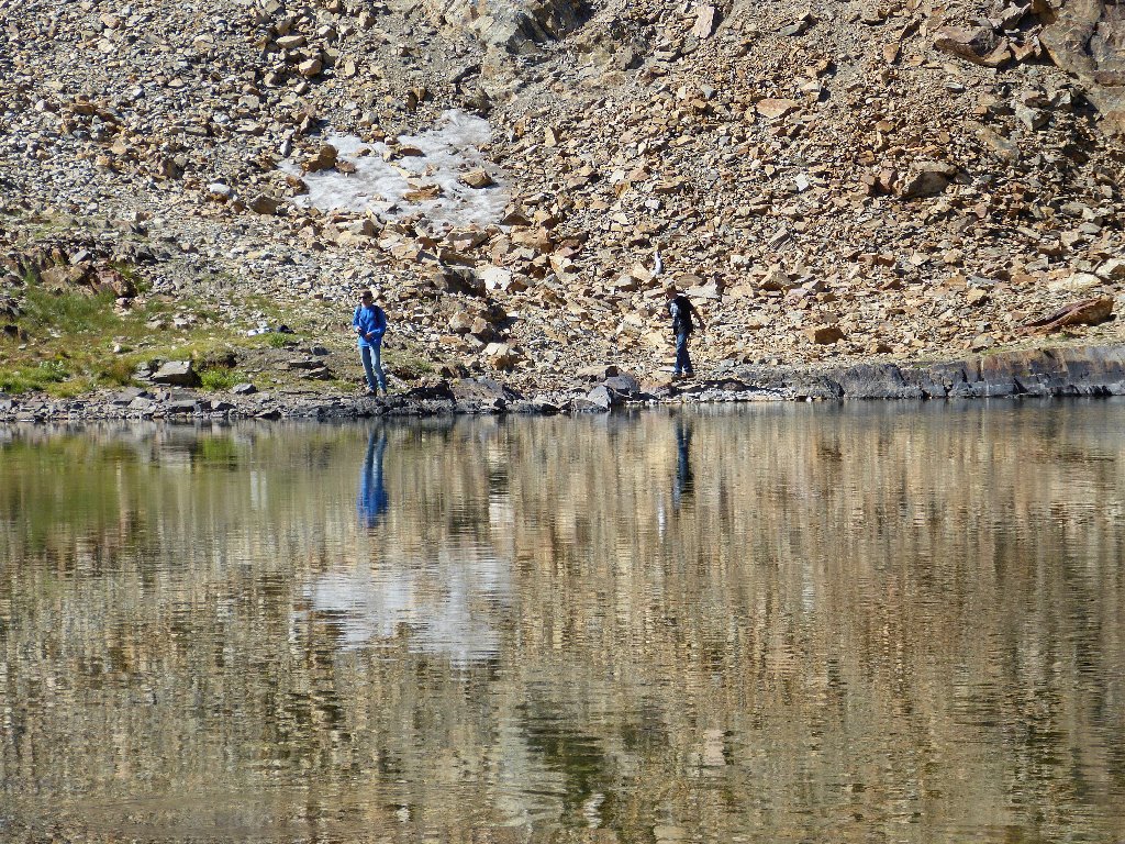
Trying their luck
The fishies are gone
Making my way around
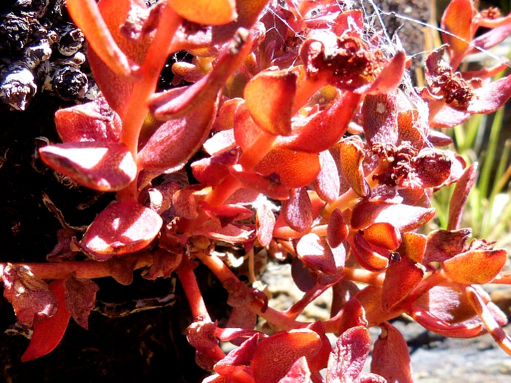
Ledge Stonecrop
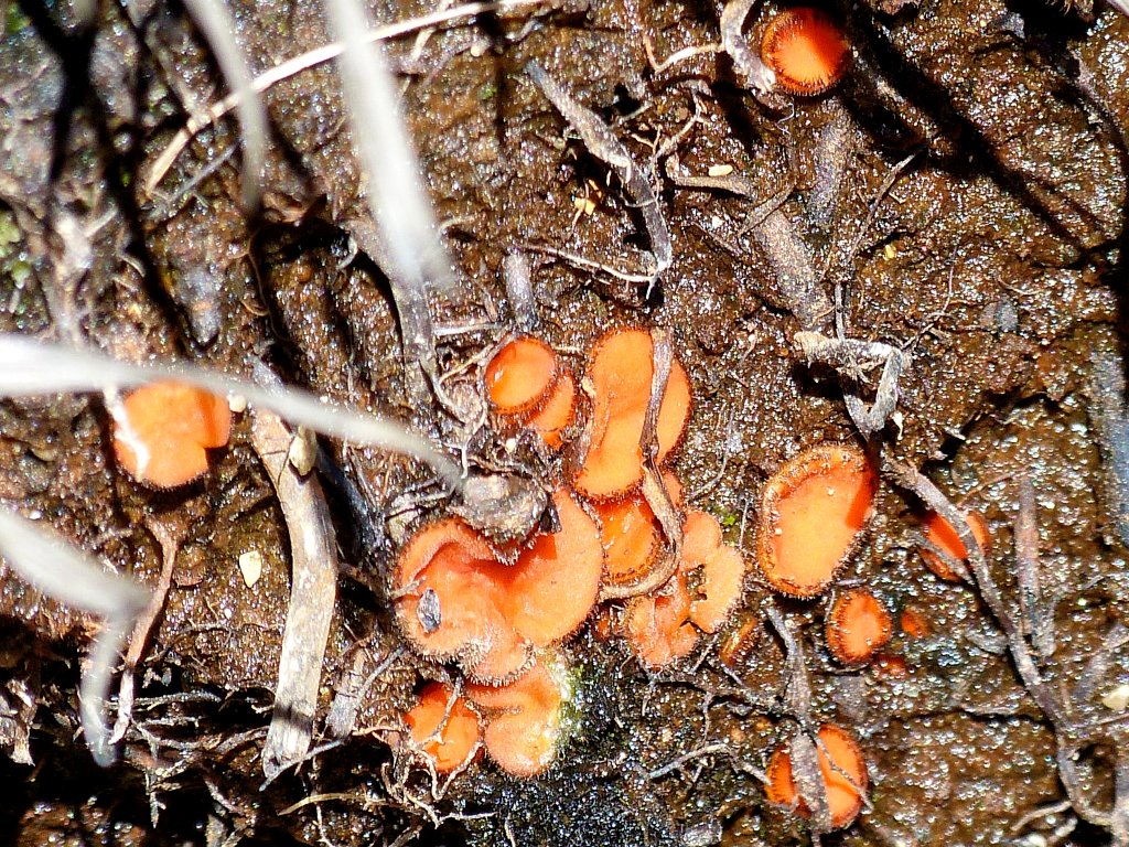
Orange Discus Mushrooms
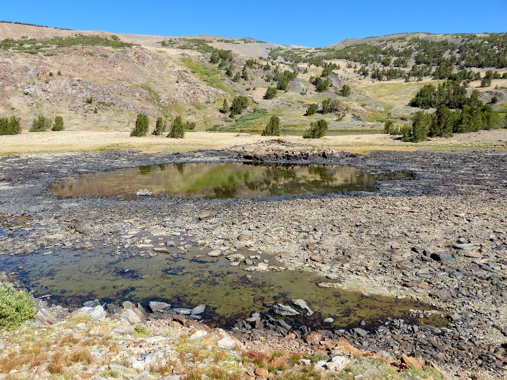
These ponds will disappear soon
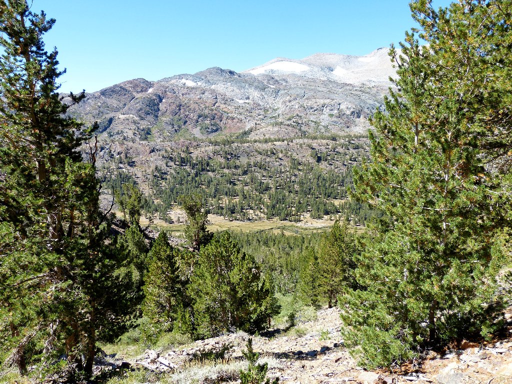
On the way down I gaze across the valley at a horizontal row of green trees. Out of sight just behind it are Shell Lake and Fantail Lake, which I visited just eight days ago.
Lee Vining Creek
This descent is taking as long as the climb up, including rest stops. The slippery sand is much more difficult to negotiate when traveling downhill.
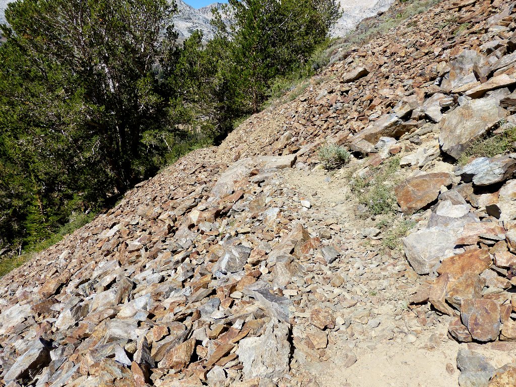
One of the easier sections
To the south is the ubiquitous Mount Dana. After recent conversations
with other hikers, I am less inclined to climb it. Doubtless the views
would be tremendous; but the difficulty and unfriendliness of the ascent could
tend to appeal only to a hardcore peak-bagger, which I am not.
Mount Dana, 13061'
Now I must endure a five-hour drive home in Labor Day traffic, which for the dedicated Sierra explorer is a small admission price.
End of the trail
§: Well, I got my nature fix, and my heart sang for a little
while. This shorter, sublimely colorful outing was just what the
doctor ordered. My ninth different entry-point into the
Hoover Wilderness did not disappoint me.
| Scenery |  |
| Difficulty |  |
| Personality |  |
| Solitude |  |
