
White Mountain Wilderness
|
White Mountain Peak White Mountain Wilderness |
“Somewhere between the bottom of the climb and the summit
is the answer to the mystery of why we climb.”
–Greg Child
September 2, 2012
Once a year, the Barcroft High-Altitude Research Station opens the gate to
its remote facility in the White Mountains northeast of Bishop, California.
Normally, an open-house is featured and some lectures are offered.
This year there was no such occasion, but today the gate has been opened anyway
to accommodate hikers who would like to bag a 'fourteener', but who don't relish
the prospect of a 14-mile trek.
Being able to drive into the facility saves four miles of walking and about
a thousand feet of climbing. For oldsters such as I that is important,
because White Mountain Peak is California's third-highest at 14,252 feet,
making this outing potentially difficult enough as it is.
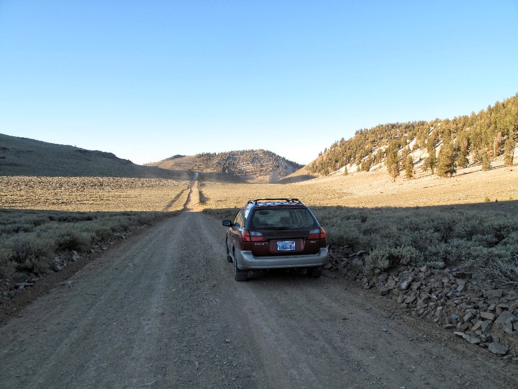
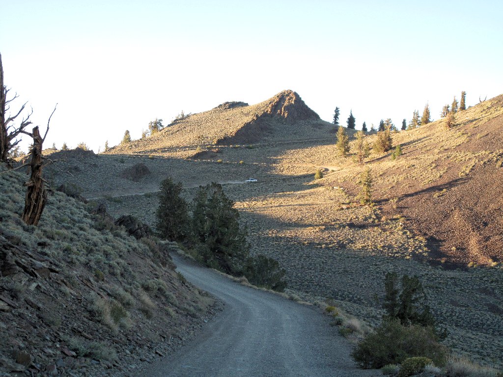
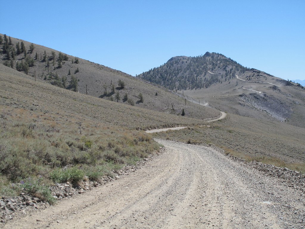
Getting there is a minor challenge as well. After climbing out of
Big Pine past the largest-known grove of Earth's oldest living
things — bristlecone pines, the next 16 miles
of dirt road are passenger-car suitable yet quite slow nonetheless.
I hope to make it there before dark
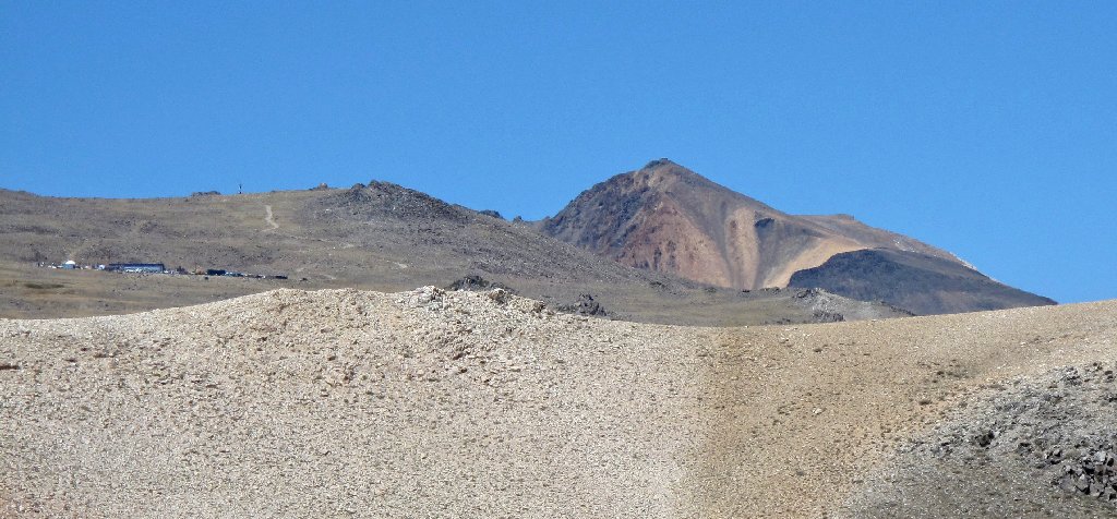
White Mountain Peak is peeking up behind the others
Since I never have hiked above 12,000 feet elevation, it seems sensible to drive up to the gate and sleep in the car in order to become somewhat acclimated. Apparently I am not the only one with this idea, for there is a lot of activity at the parking area when I arrive just as the sun is setting.
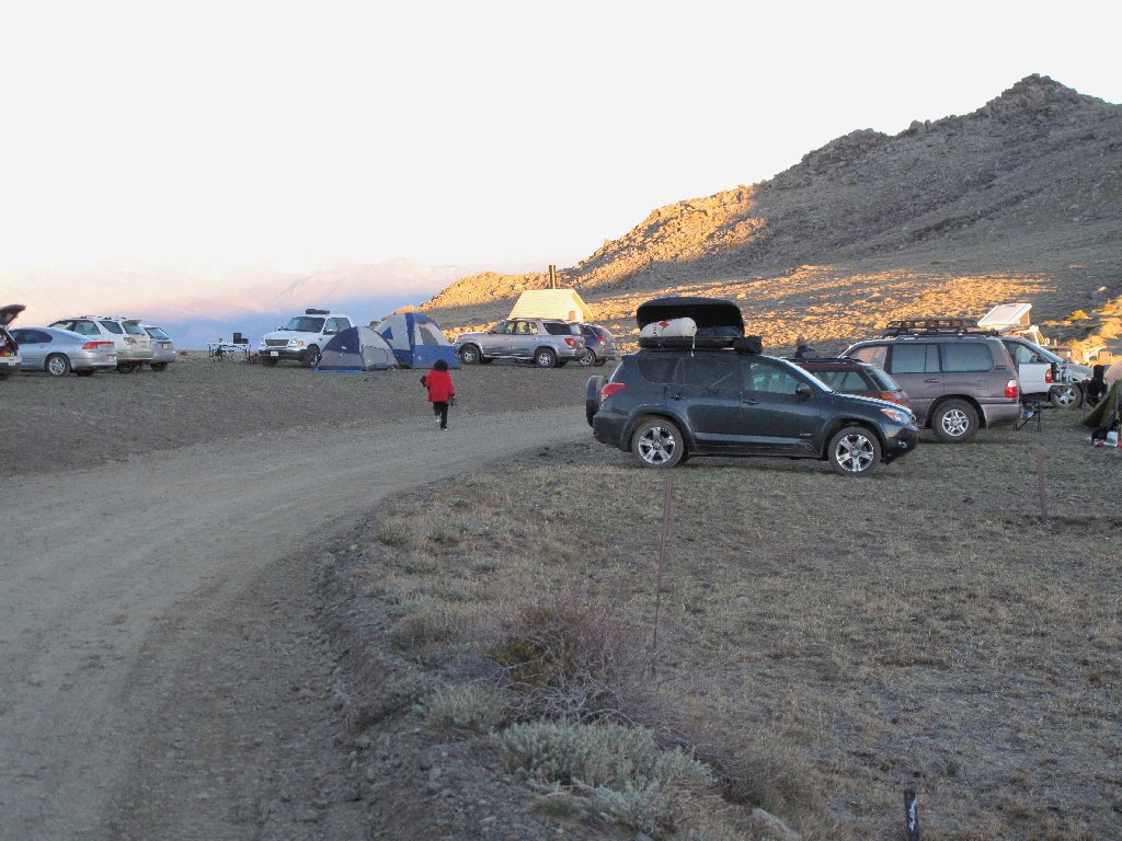
Everyone has thought of this
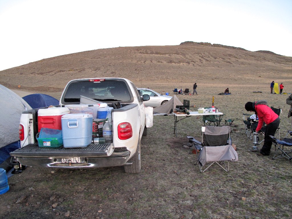
Some are better-prepared than others
The gate is scheduled to open at 6:30 a.m. There being some time to kill before turning in, I try my luck at night photography. By the time I head for bed, half a dozen more carloads have arrived in the dark.
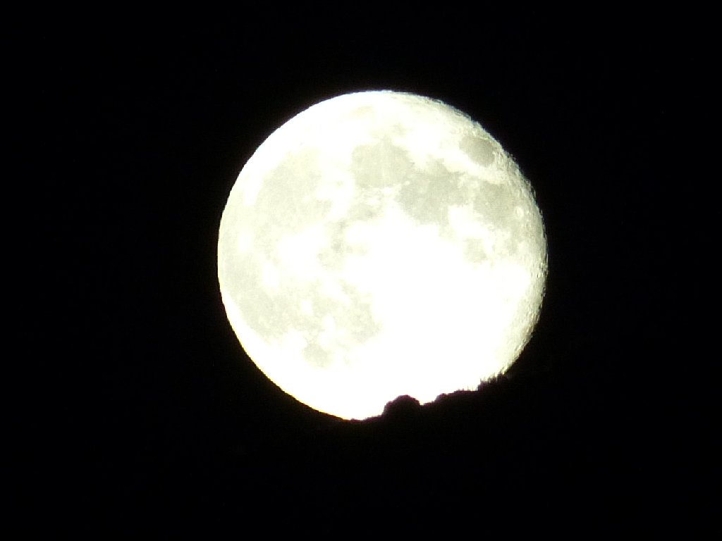
It certainly looks like green cheese to me
When my alarm clock rings at 6:20, many folk already are up and about.
One man says that his dog dish was frozen, and my car thermometer shows
35 degrees now. I slept quite comfortably, however.
A few intrepid souls already have taken off up the old abandoned road. Their hike will be a lot longer and more strenuous than mine, but of course they know that.
No special accommodation is needed for that route
Someone already has opened the gate, so I put on my pants and take off up the hill. Passenger cars would not be particularly happy with this section, although most probably could handle it (see Addendum).
This is exciting
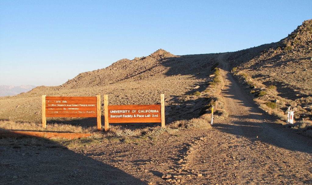
I seem to be among the first visitors to arrive; there still is plenty of parking space at the University of California's Barcroft Facility & Pace Laboratory, the highest such outfit in the country.
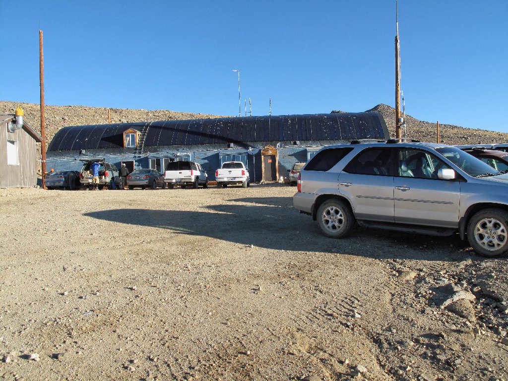
At 12,410 feet elevation
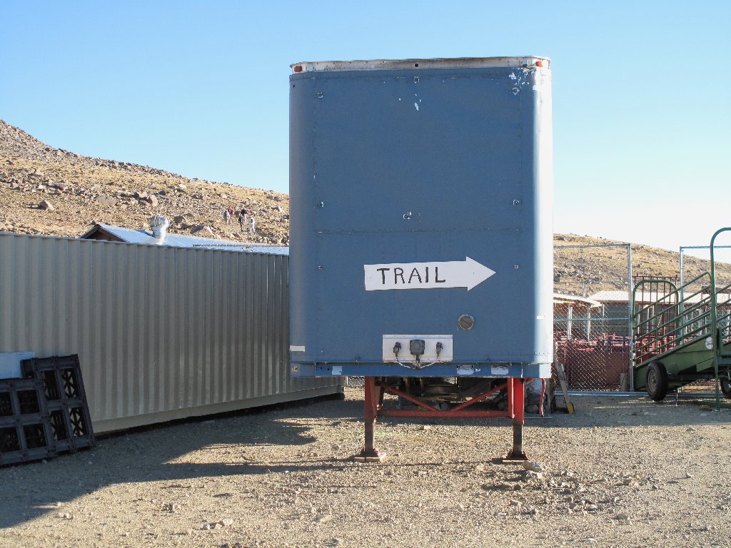
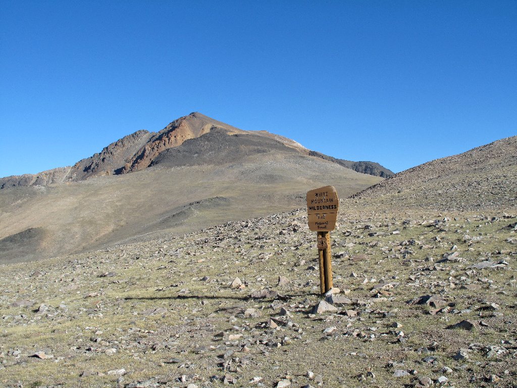
A rather unusual trailhead indicator
Before embarking upon the hike, I try calling my sweetie at home, and it works!
I understand that this lab also has high-speed internet service.
How much smaller the moon seems to be this morning
There probably is good stargazing on the Barcroft Plateau
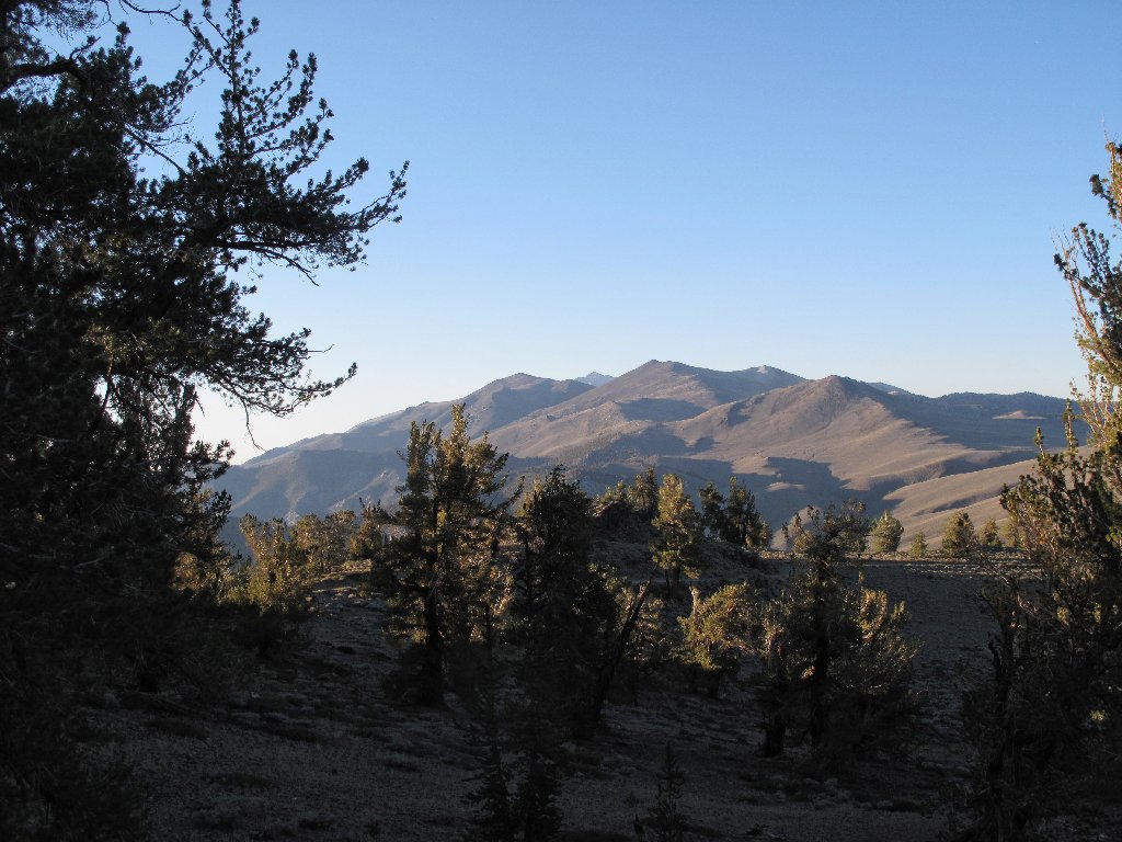
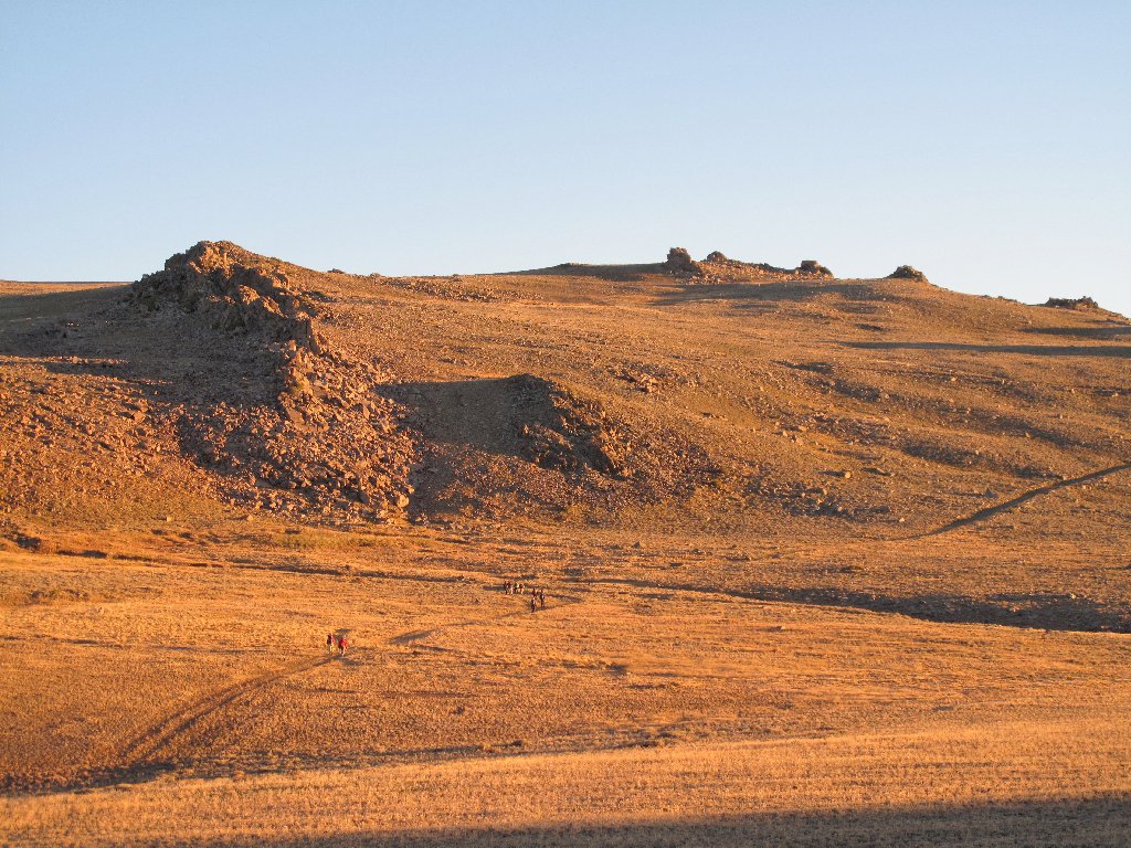
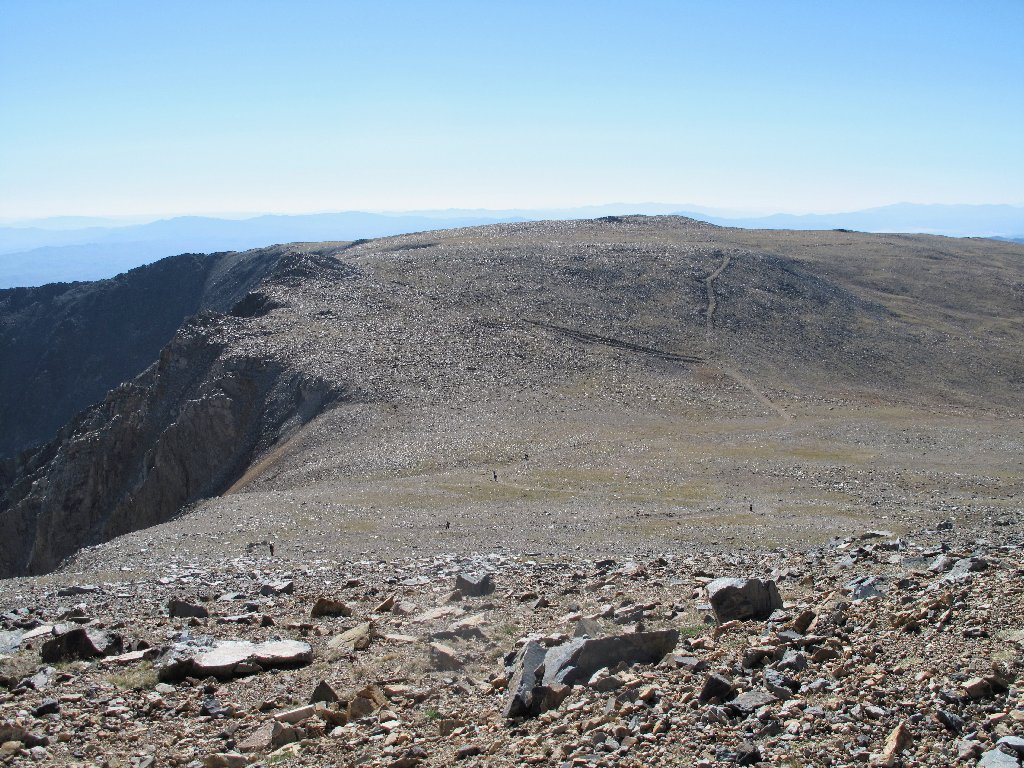
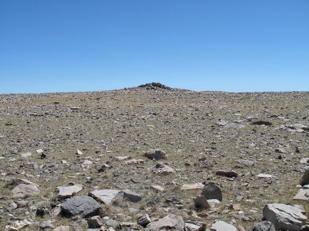
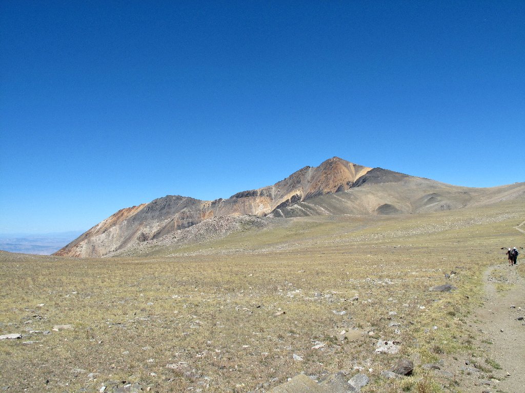
Once past the observatory, I finally get a good look at the mountain itself. Boy, it sure is way up there.
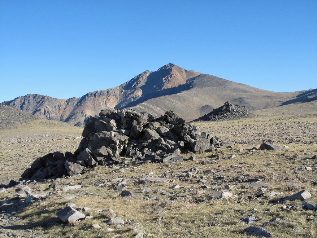
Entering the McAfee Meadow Natural Research Area
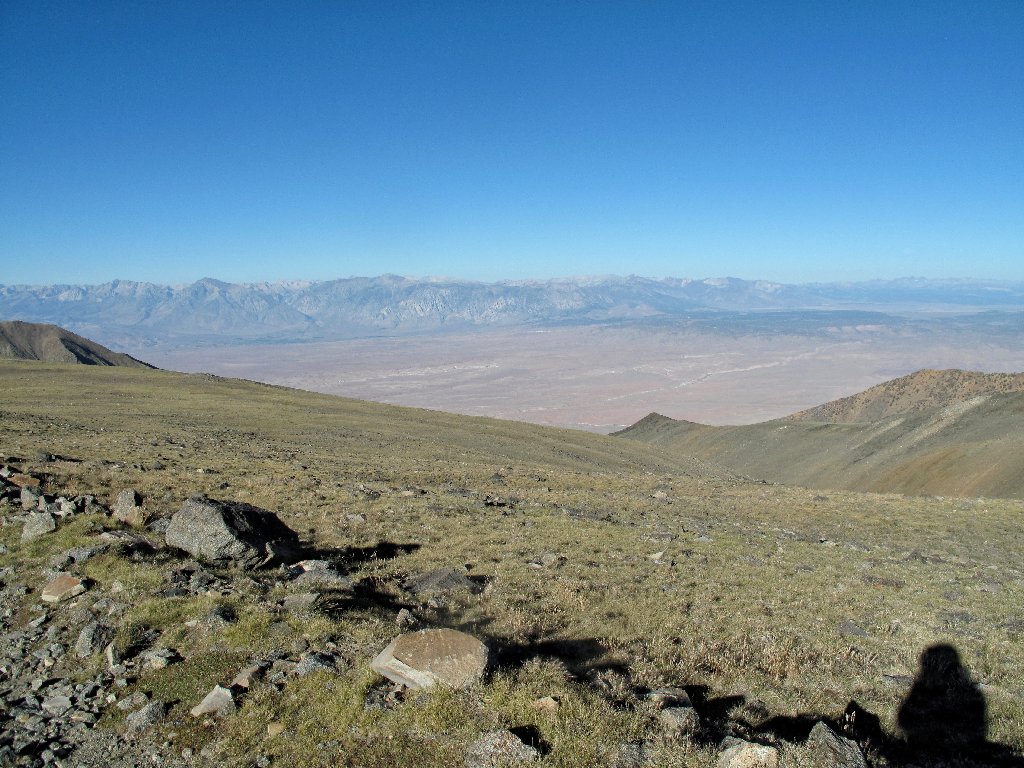
The High Sierra north of Mammoth Lakes
Wilderness boundary
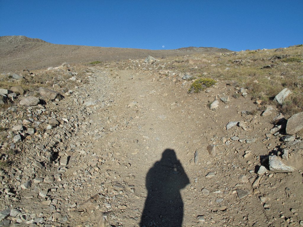
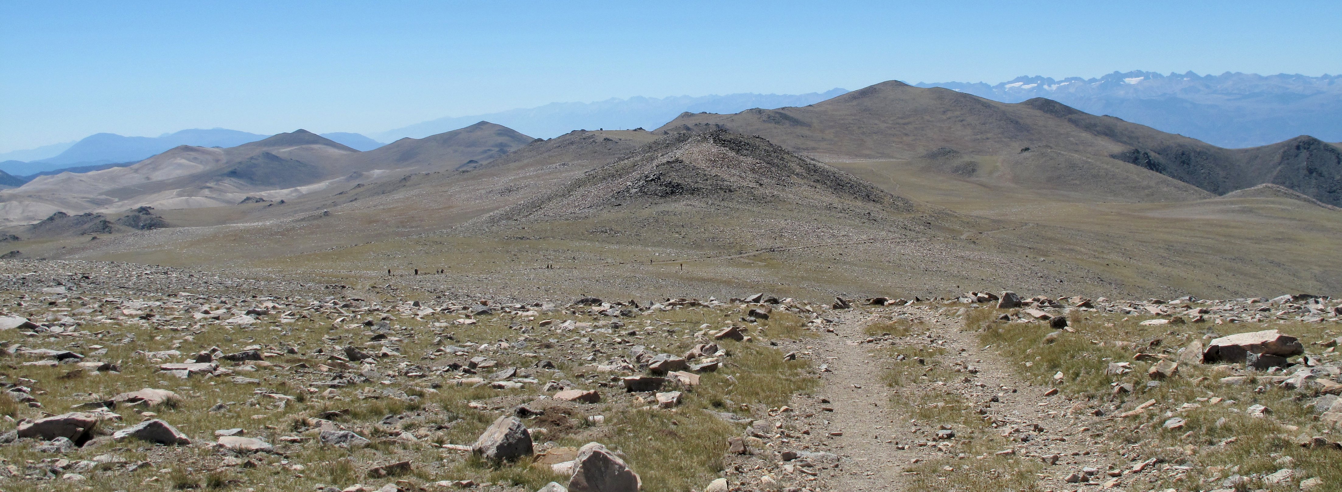
Today's trail is a road which services another laboratory at the mountain summit.
When it dips down a hill to skirt a rocky section, I opt to continue straight across in
order to save some effort and distance, and that works also. I am surprised that
there is not a well-established use trail here; I had even marked GPS waypoints
in advance to cover this very contingency.
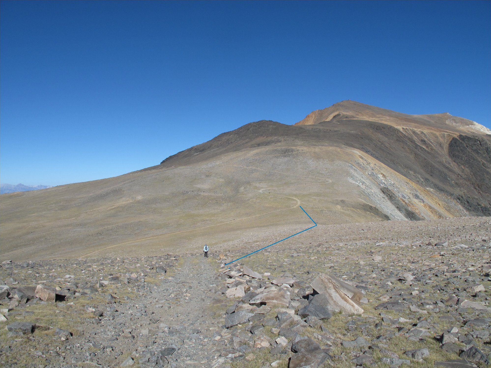
The blue route is the answer ⇔
Yes, careful footing is necessary through the scree, and the savings are but a tenth of a mile of walking and a hundred feet of climbing; yet I am enjoying this detour.
Looking back at the shortcut
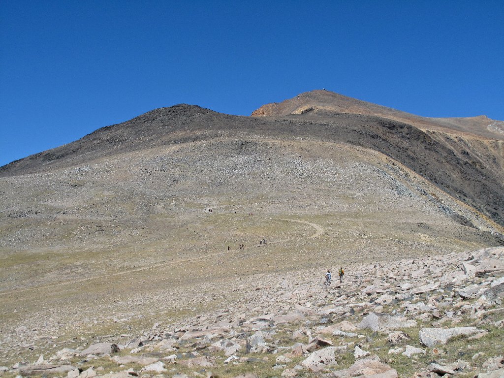
1,200 feet to go
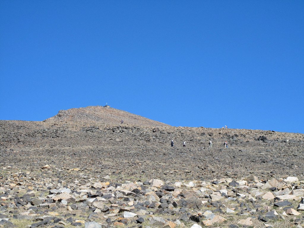
Although I have not been traveling any faster than usual for the conditions, I already have overtaken a number of hikers, and so far no one has passed me. The exalted altitude doesn't seem to be having much of an adverse effect.
Only 600 feet remain now
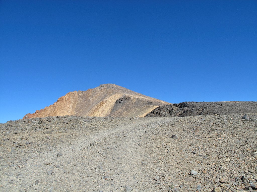
The trail degenerates into a series of steep switchbacks, and near the
top an unofficial but well-used cutoff departs the road for a time
to save a few hundred yards of unnecessary walking.
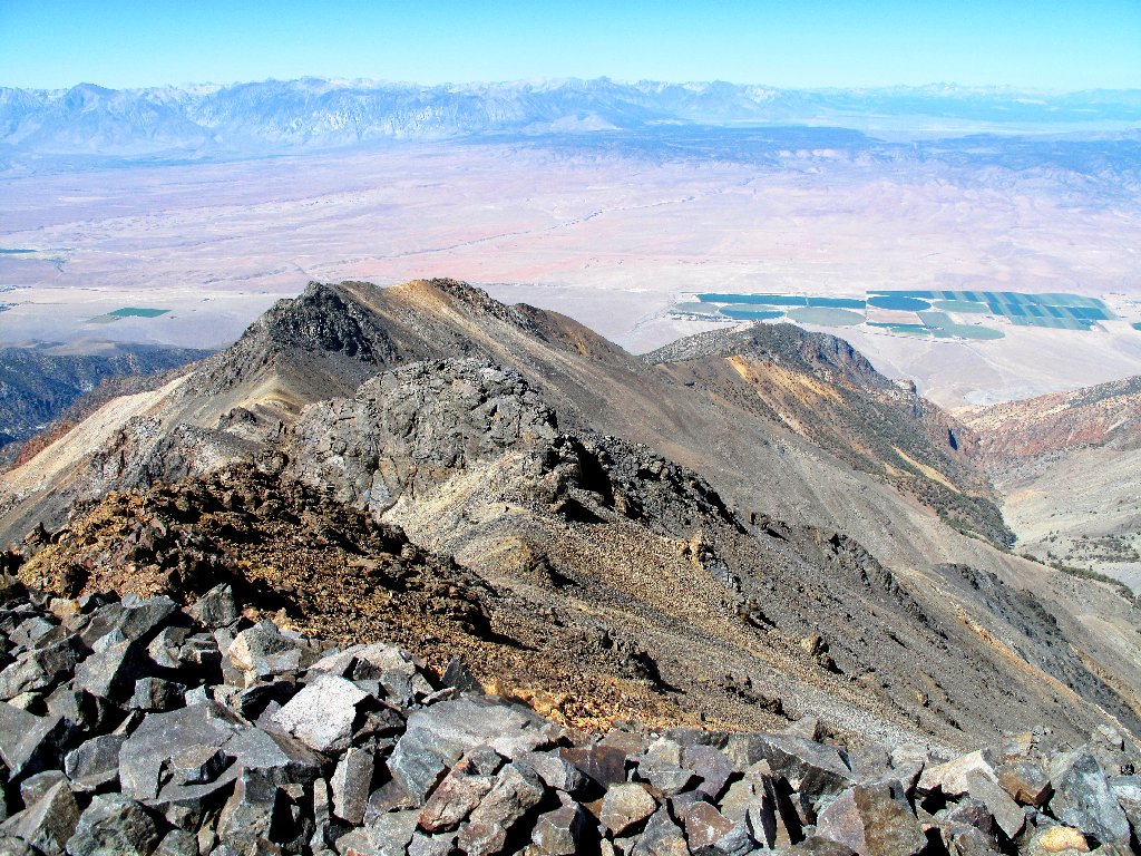
Looking eastward
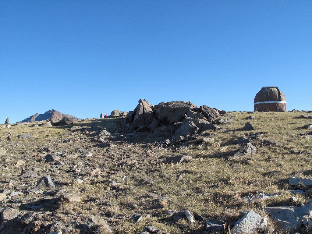
Perseverance and many rest stops eventually pay off. In just three hours I achieve the summit.
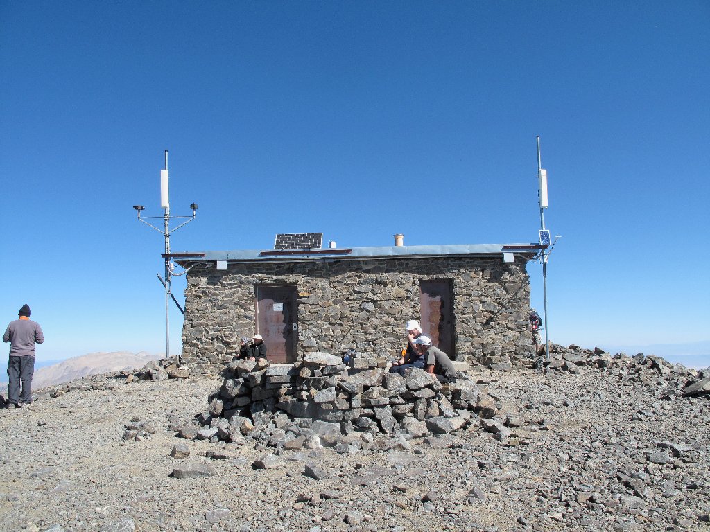
The Summit Laboratory atop White Mountain Peak, 14252'
There are but five other hikers up here at the moment; that will change soon.
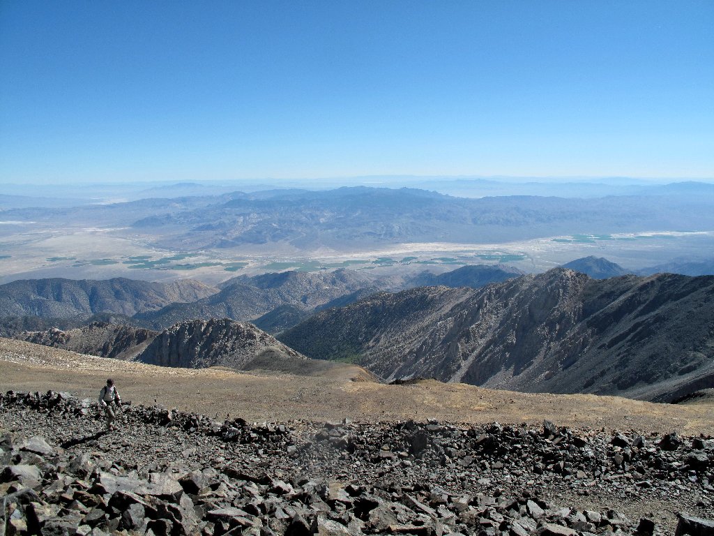
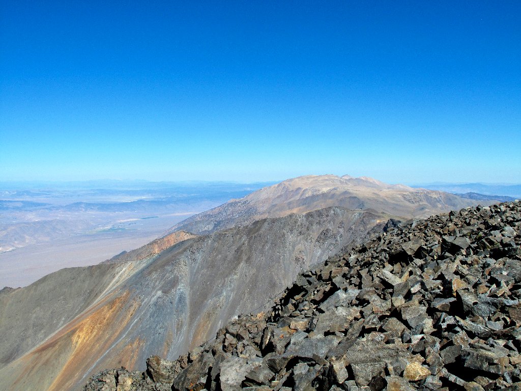
Looking southwest over Chalfant Valley
Note the inclusion of the word "Peak" in the mountain's title; that is convenient, because there are nine other California places called "White Mountain". Only this one has a unique name.
To the north is Mount Dubois, 13559'
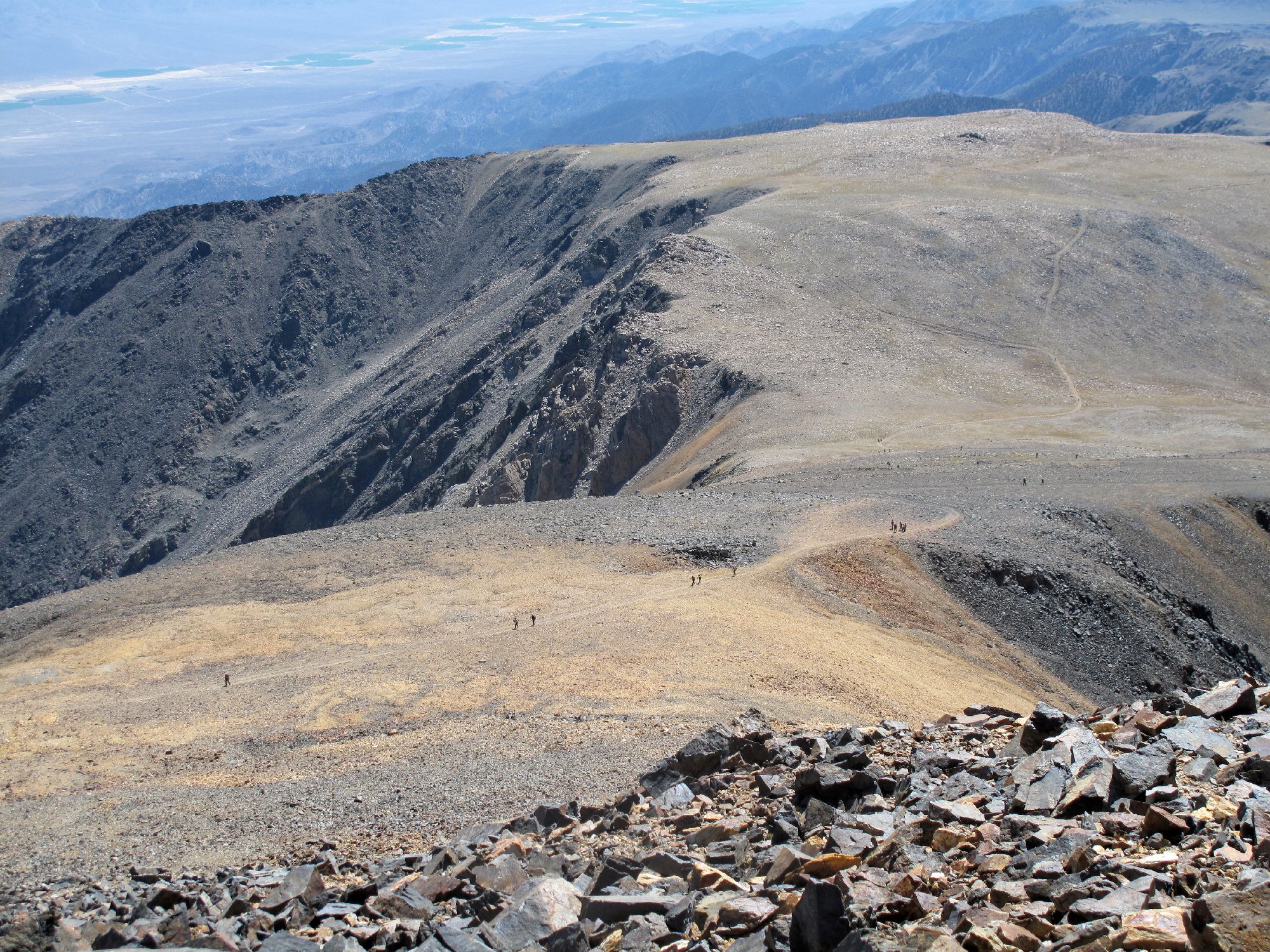
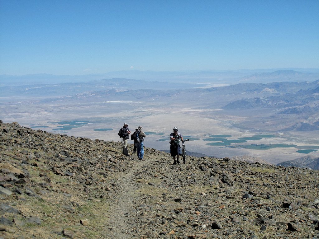
More than 40 hikers are visible on the trail ⇔
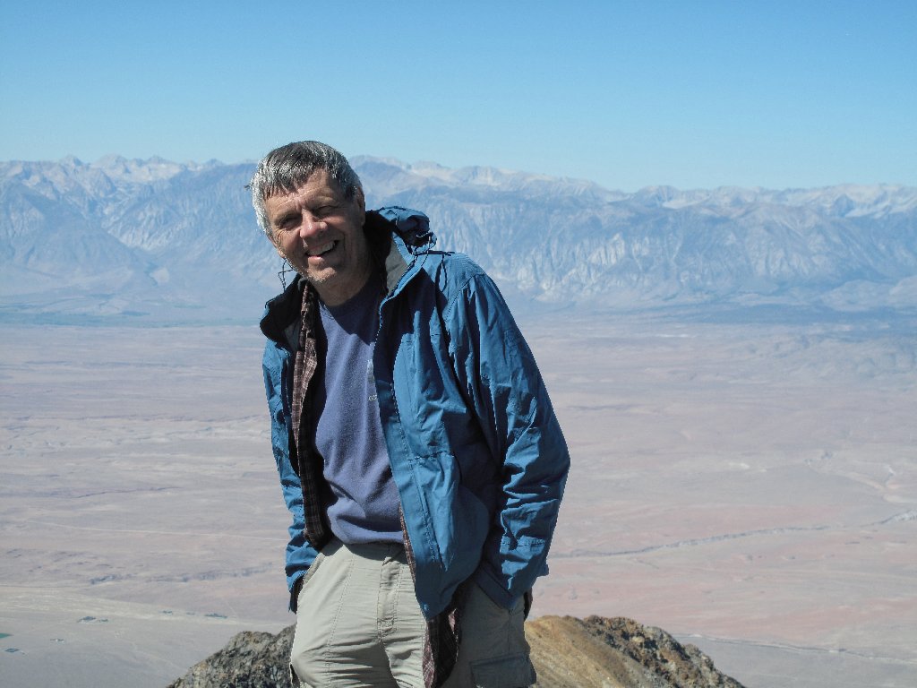
Yes, I really am here
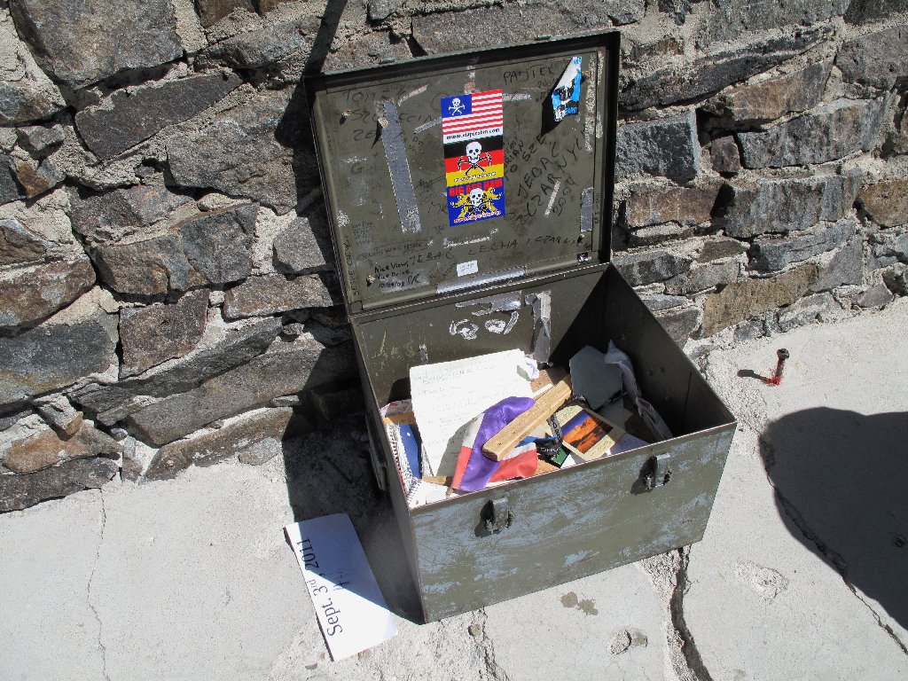
The cache box is quite popular today
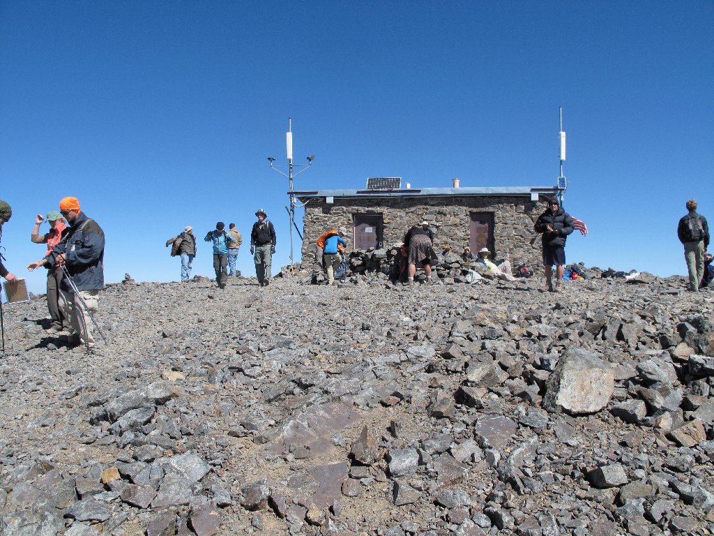
The crowd has arrived
There are too many bodies around here now; it isn't as much fun as it
was. After a half-hour stay, it is time to go.
One of two cyclists that have made it up here
Another couple is utilizing my shortcut
Anyone needing a private potty break must go way over there
The observatory is barely visible in the distance
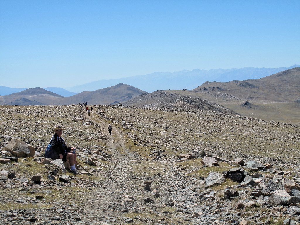
As on the way up, on this long slog I seem to be overtaking and passing virtually everyone I see ahead of me. This is not a contest; but when there is little else to do, I tend to walk fast.
White Mountain Peak seems to be just about every color except white
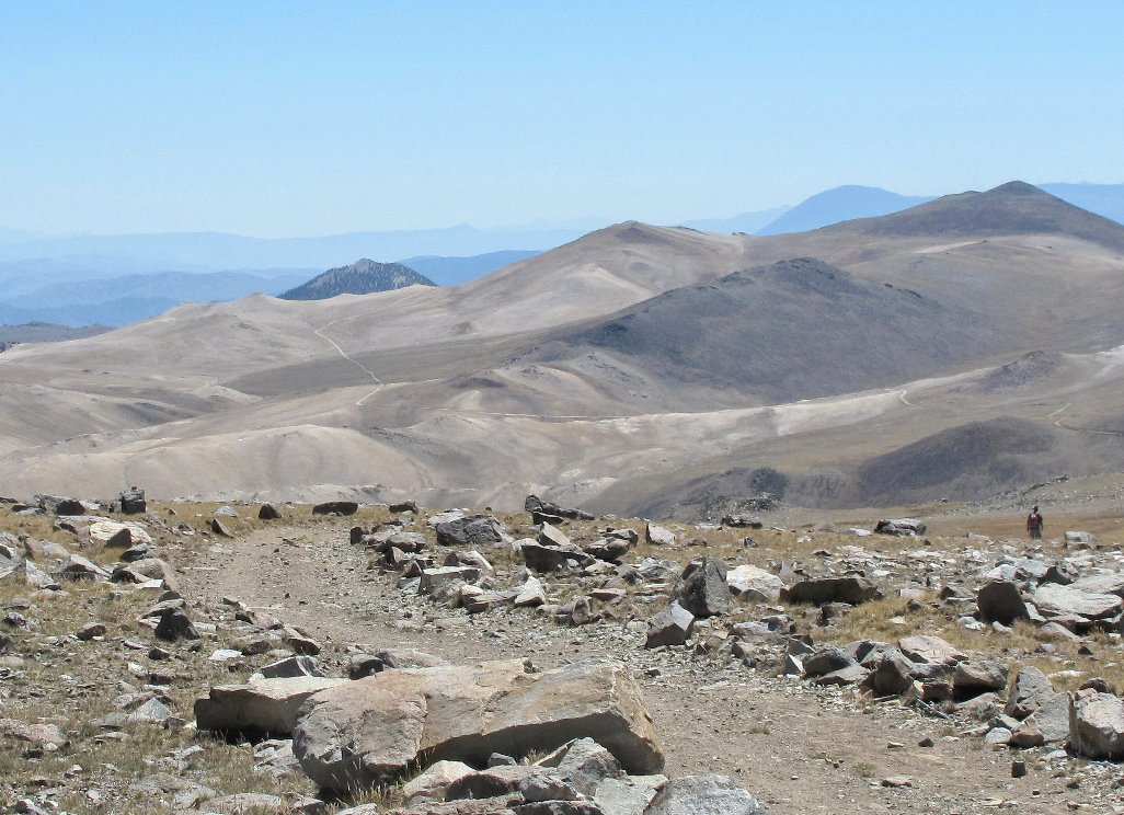
The access road is over on those bleak hills ⇔
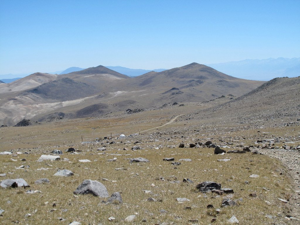
Just beyond the observatory, Barcroft Station reappears.
Heck, my feet aren't even sore, and it's only 1:30 p.m.
Maybe I should find another hike!
Almost there
Two parting shots from the exit road:
The station and the mountain
The route doesn't lead where one would expect
§: Well, that wasn't so bad; in fact, it was great!
Three hours up, a half hour at the summit, and two hours down.
This high-altitude stuff is a piece of cake. Of course,
it helped that today's weather was perfect; many hikers have not been
so lucky here on other occasions.
Did I need to spend the night up here to help become acclimated? Judging from the fact that I was the fastest hiker that I saw on the trail today, apparently not; but it must have provided some benefit, and it did save the cost of a motel room.
The normal open-gate date at Barcroft is the first Sunday in September. Accommodations at the nearby Grandview Campground tend not to be available without a reservation. Should you choose to camp out at the gate, be aware that the only amenity is a pit toilet. All necessary food, water, and equipment must be brought in. Allow two hours' travel time from Big Pine.
| Scenery |  |
| Difficulty |  |
| Personality | |
| Solitude |  |

ADDENDUM
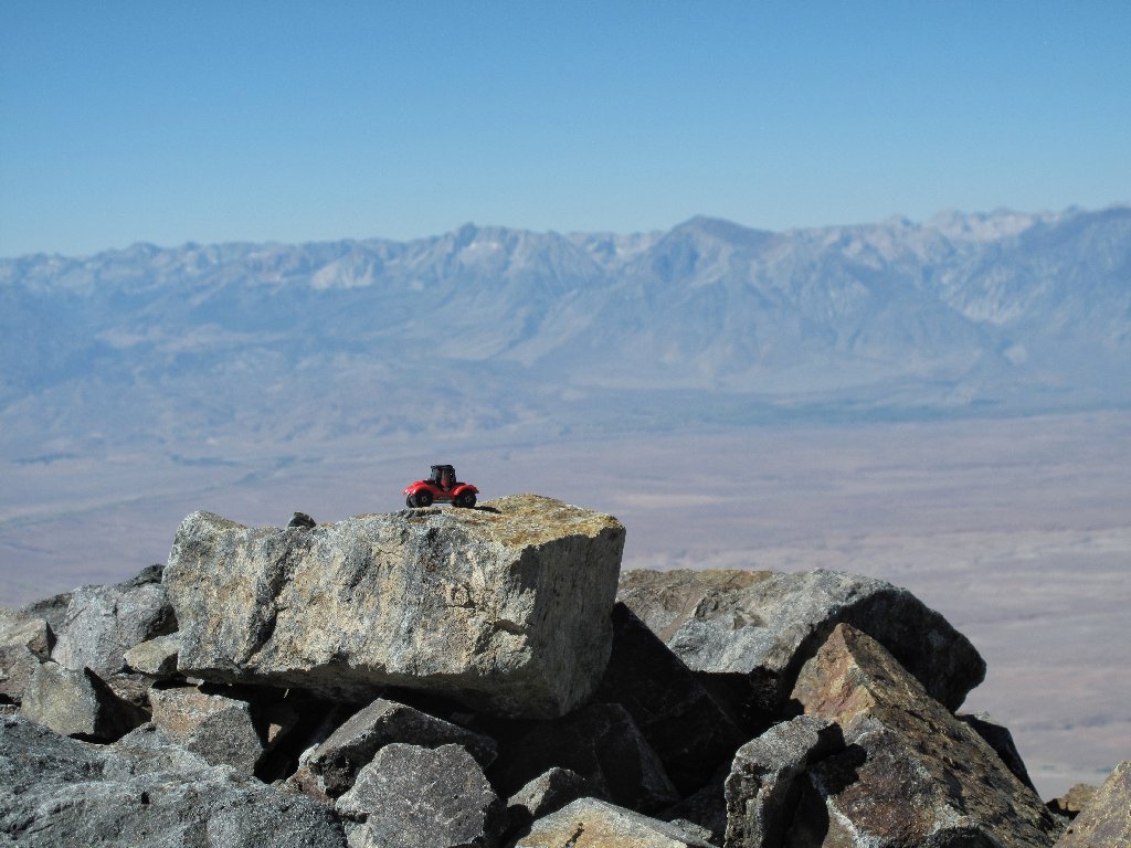
I redid this walk three years later, as training for a friend hopeful of
surmounting Mt. Kilimanjaro (she made it). Because my car was in the shop
getting a new engine, I had to use my wife's 2007 Toyota Corolla, which
probably will last forever; but it also is the least off-road
worthy car I ever have owned (no clearance). Nevertheless, we made it
up this road with no problem simply by driving slowly enough.

For more information on Barcroft Station, look here:
http://www.wmrs.edu/facilities/bar/default.htm
And don't forgo this great opportunity to visit the incomparable
bristlecones. Even if you don't take one of the available walks
at Schulman Grove, at least drop a couple of dollars into the bucket
at the nice visitor center, or buy a T-shirt or something.
