
Tahoe NF
|
Castle Peak ~ Basin Peak Loop Tahoe NF |
August 30, 2012
Although I have lived near Donner Summit for most of my life, inexplicably I never
have gotten up-close-and-personal with Castle Peak itself; so it's about time.
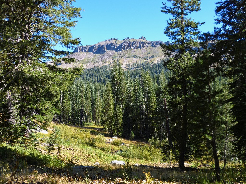
The objective
A 4WD road leads northward from the I-80 Castle Peak exit. Most vehicles park right where the pavement ends, but of course that does not interest me. Back in the day, I drove this route several times in my Volkswagen Bus; how bad can it be?
After proceeding only about a mile, however, I opt to park and walk anyway. This turns out to be for the best, because just ahead is a bad place in the road. Although my Outback probably could have handled it, I might have declined the attempt.
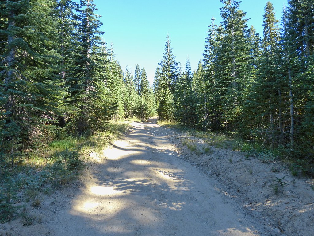
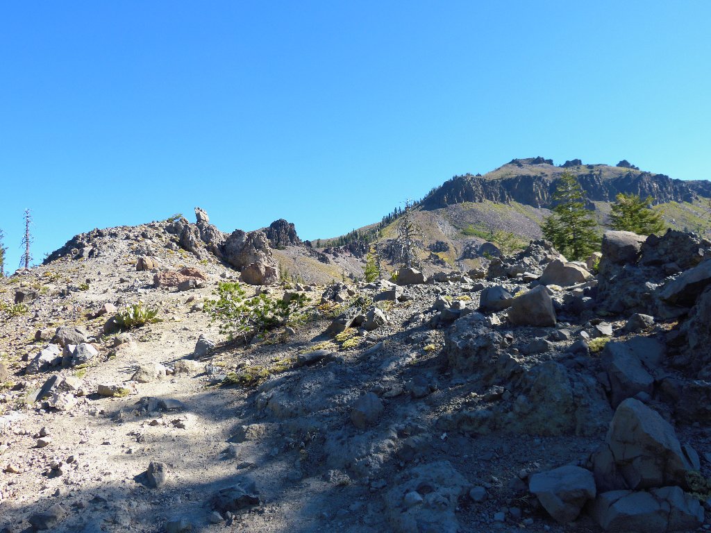
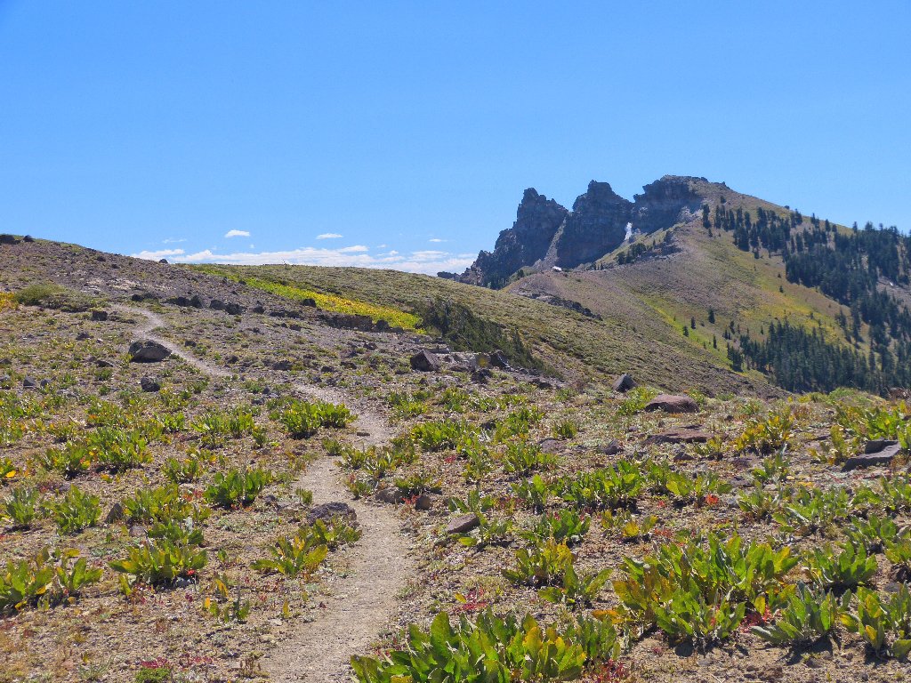
The first mile of walking is on the road
A sign proclaims "no cars from here on"
Proceeding up a small ridge toward Castle Pass, I hook up with the Pacific Crest Trail coming over from the rest area at Donner Summit. Shortly beyond that is an unofficial spur trail that heads directly toward the mountain.
The PCT
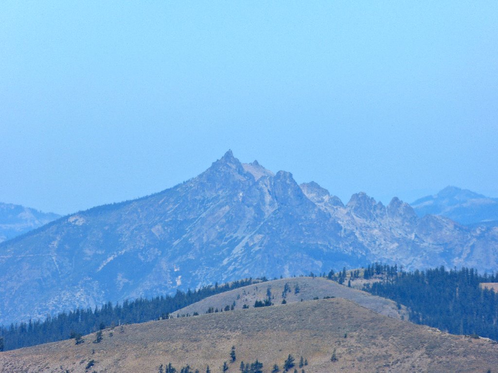
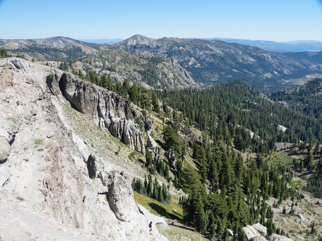
Castle Peak, 9104'
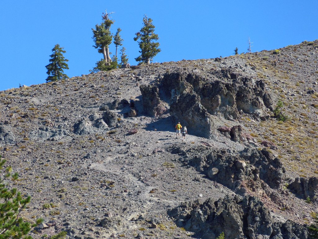
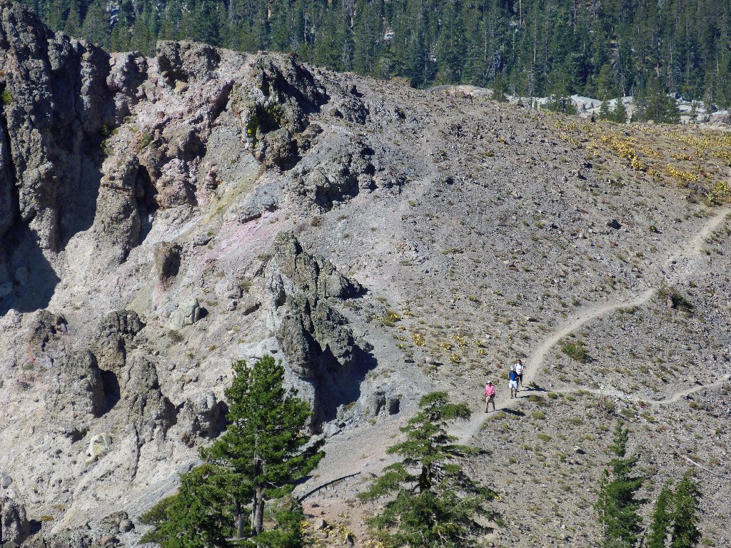
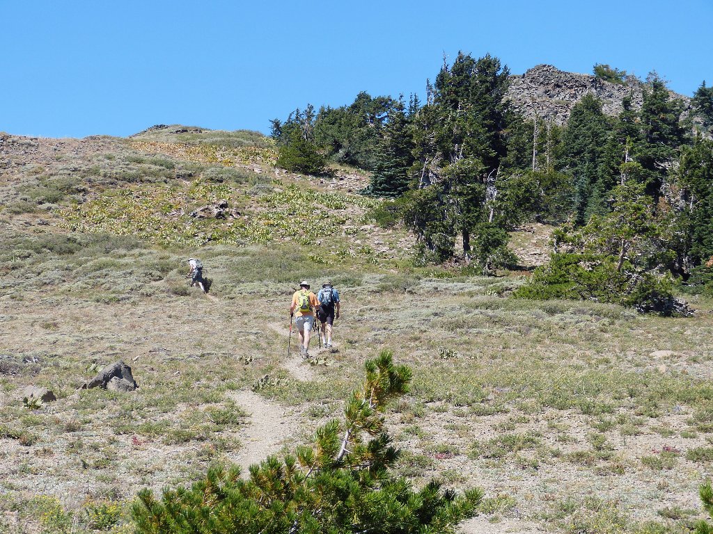
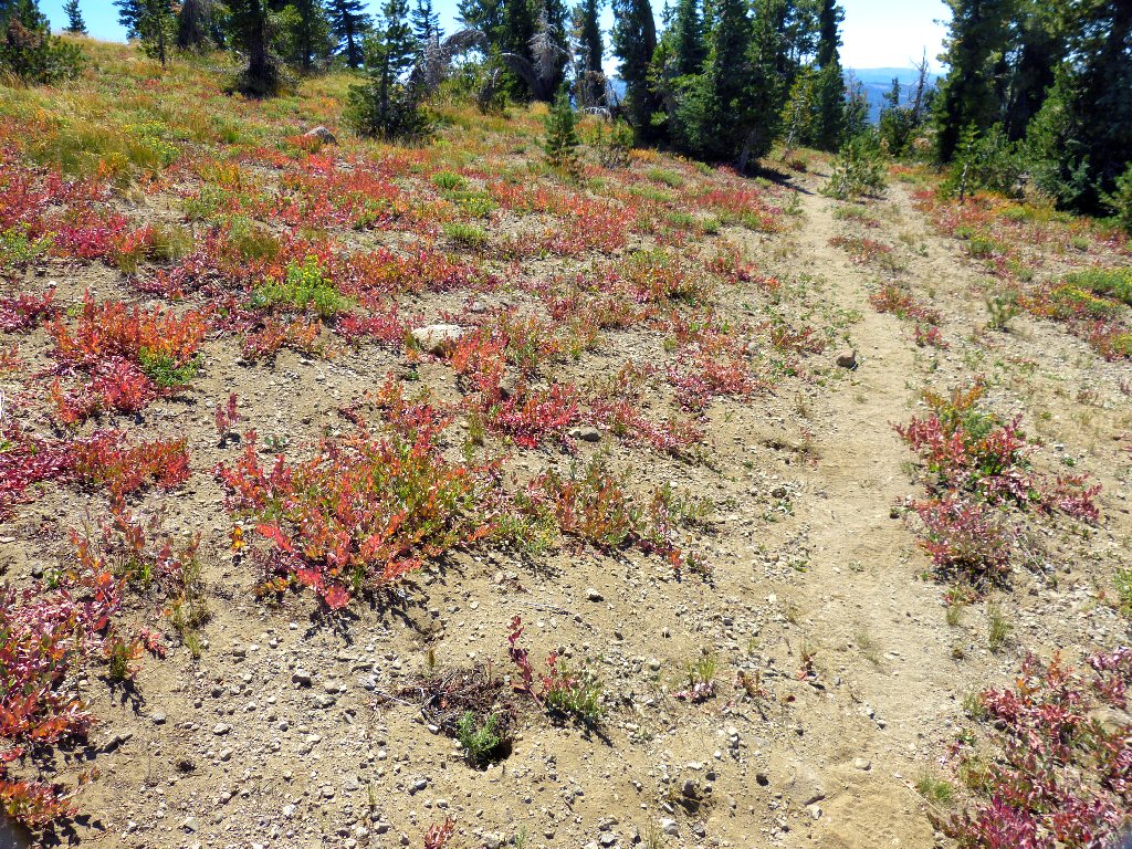
The prime season has, of course, come and gone around here. The grasses have dried up, no flowers are around, and the creek beds are dry. As I wonder whether I will be the only hiker out here today, I spot a couple of others high above me on the trail. This is good.
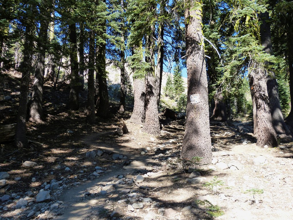
The trail is not well-groomed
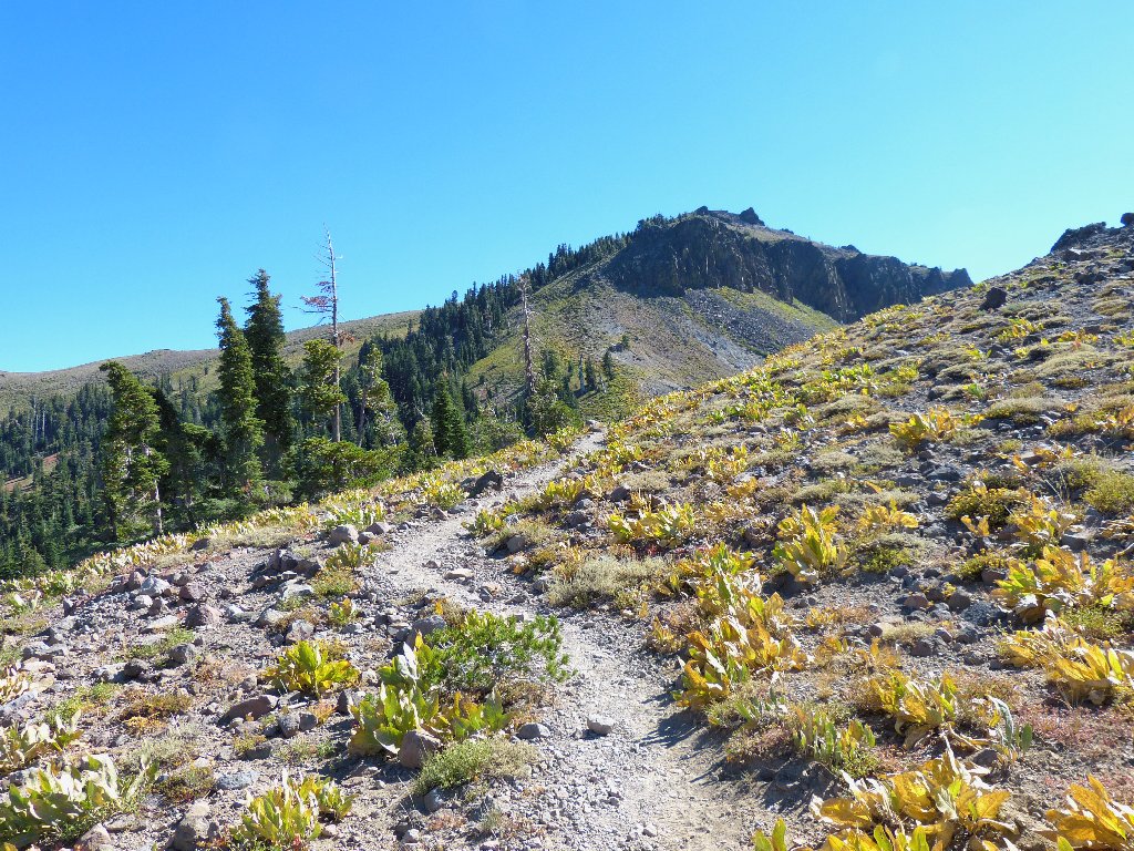
The withered mule ears provide a bit of color to the landscape. Actually, the higher I get, the more colors I begin to see. A young woman and her dog scamper merrily by on their way down the hill.
Looking up
Looking down
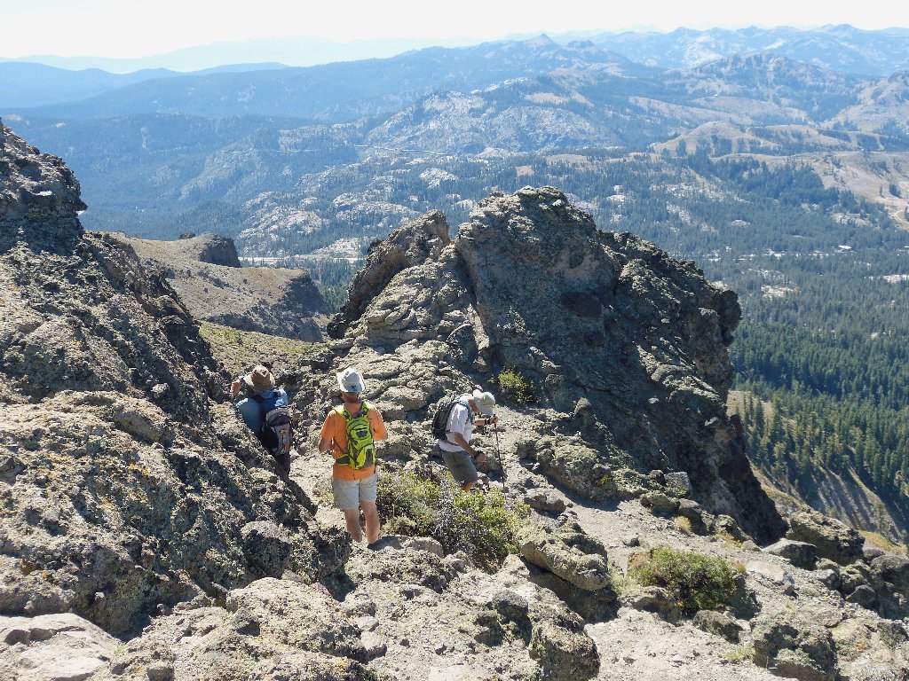
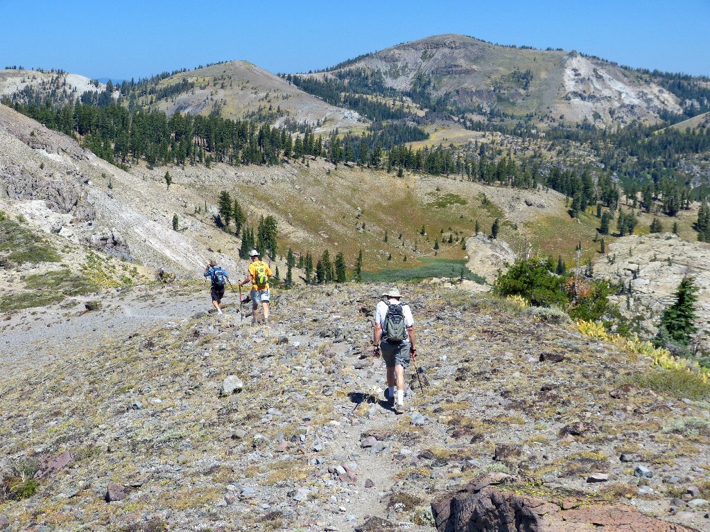
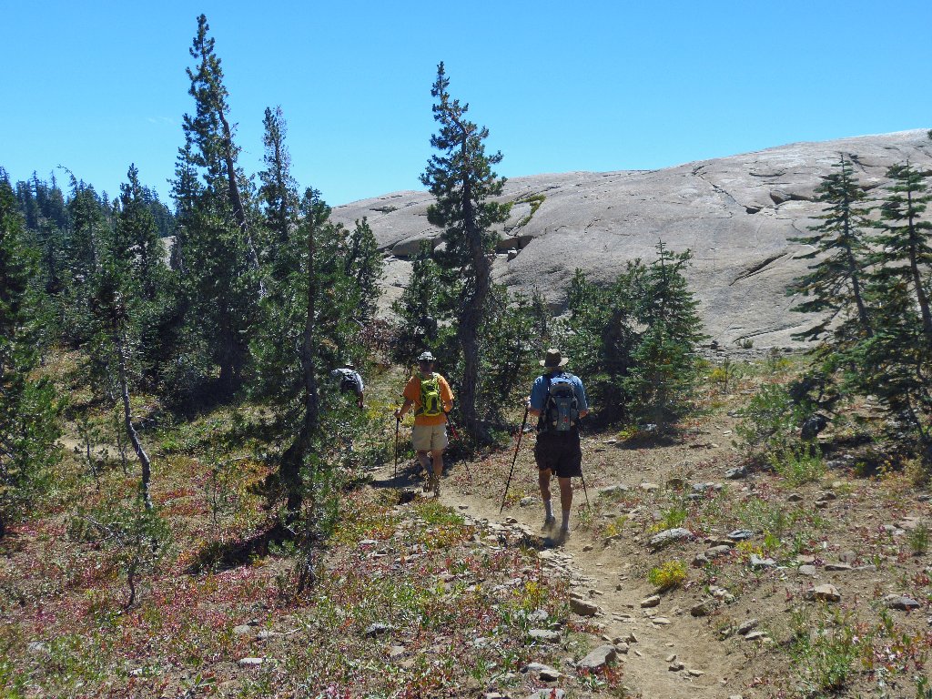
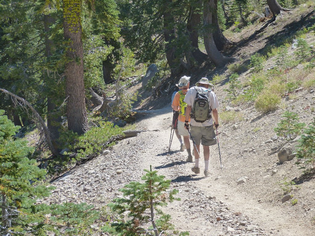
As I spot a threesome on the trail behind me, I catch up with and pass the men I had seen ahead of me previously. All three of them look about as ancient as I; in fact, one is five years older, and one is seven years older.
Those guys soon disappear, not to be seen again
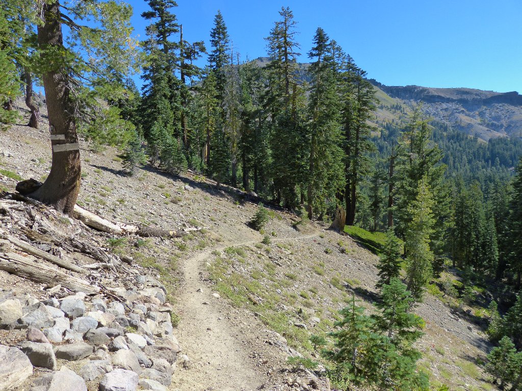
The last 800 feet of trail are quite steep and relatively unfriendly. Although this scenario is typical of unmanaged trails, that fact doesn't make them any easier to negotiate. Numerous rest stops are in order.
Interstate-80 from near the summit
All four of us reach the top at approximately the same time. Anxious to have their accomplishment advertised on the Internet, the three gentlemen pose for a group photo:
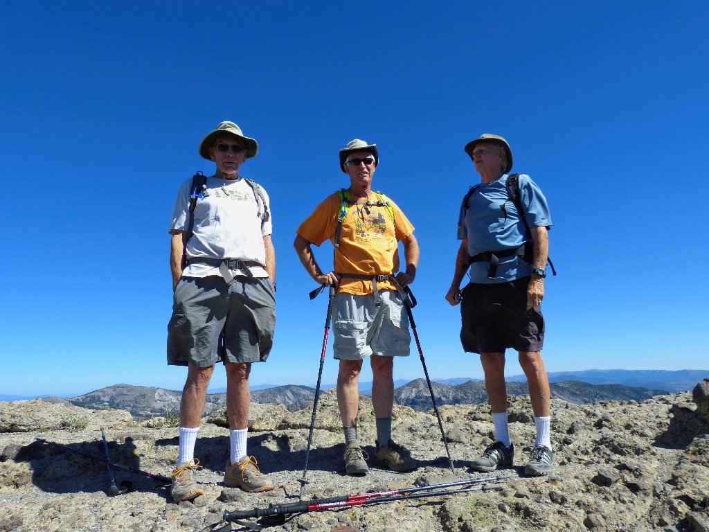
Emerson, Tom, and Jim from the Nevada City–Grass Valley area
Jim asks about my camera, which just happens to be the same model that his
wife has just ordered — a Panasonic FZ-150. Although
I have had less than a month to test this unit, I believe that she will be pleased.
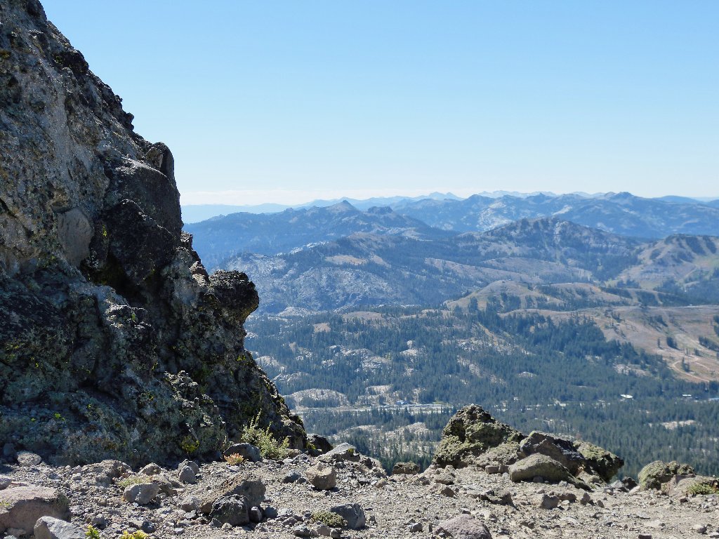
Lake Tahoe, 23 miles southeast
Sierra Buttes, 23 miles northwest
Getting around the summit area in the volcanic rubble is a bit tricky. I clamber up and over one big rock, only to discover that Tom has walked around it. No one seems inclined to scramble over to the easternmost castle 'tower', which appears to be the highest of all.
Donner Summit is enshrouded in smog
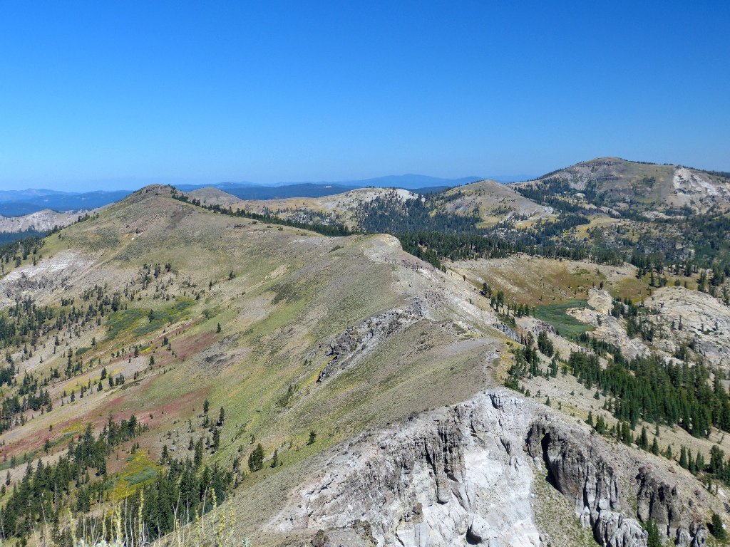
The next destination is Basin Peak, a mile and a half to the north and
86 feet lower. I can see a use trail running right along the
ridge top as expected; just below this summit is a way over to that one.
That trail looks like fun
It so happens that Emerson has recently been diagnosed with an irregular
heartbeat, and medication has him feeling a bit weird. He strongly
considers calling it quits here and heading straight back down; but finally
the lure of the trail gets to him, and this man who conquered Mount Whitney
at the age of 74 opts to gut it out.
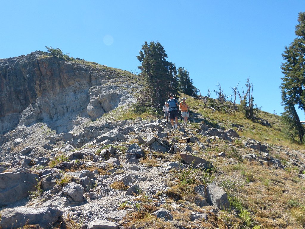
On the ridge trail

The Castle Peak snow pack
Jim in particular is watching for a good spot to cross-country
down the hillside later, should that become necessary; but I am confident
that there will be easy access to the PCT eventually.
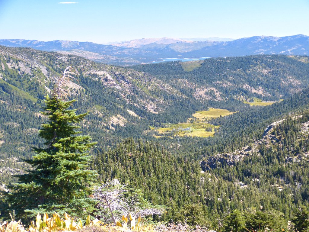
Carpenter Valley and Stampede Reservoir
Older topo maps show a short trail from that valley to Warren Lake. When attempting to access it last year, however, I was stymied by locked gates and "Private Property" warnings.
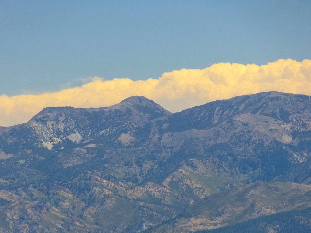
Above is Mount Lola, 9147', highest in Nevada County
The Warren Lake Trail from Donner Summit
I never had seriously considered using that other trail, because it is a full seven miles each way from Donner Summit to Warren Lake. Going this way is more scenic in any case.
The old peak
The new peak
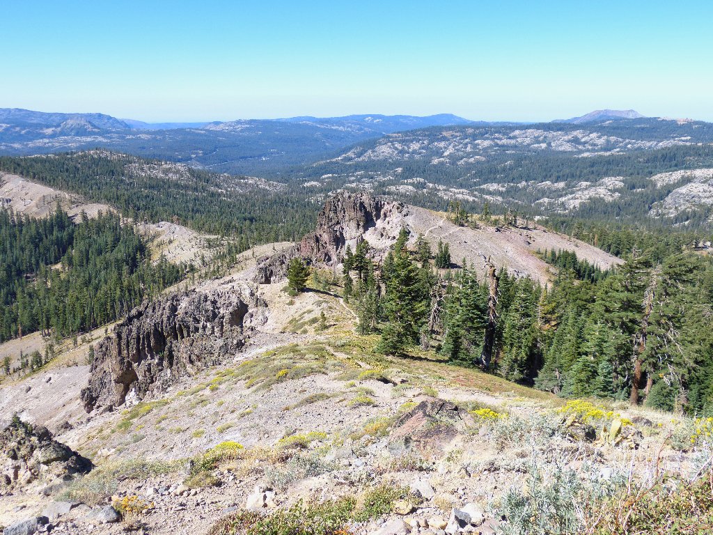
After the ridge walk is dispatched without difficulty, the views from Basin Peak are better than those from Castle Peak.
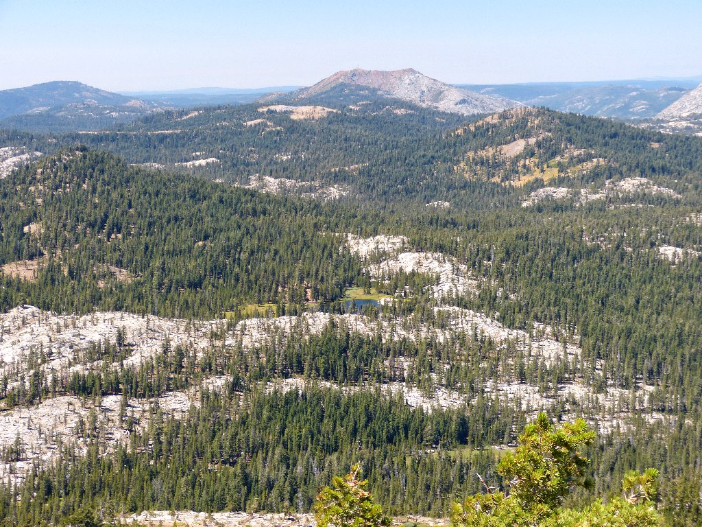
Sand Ridge Lake and Signal Mountain to the west
Warren Lake is northeast
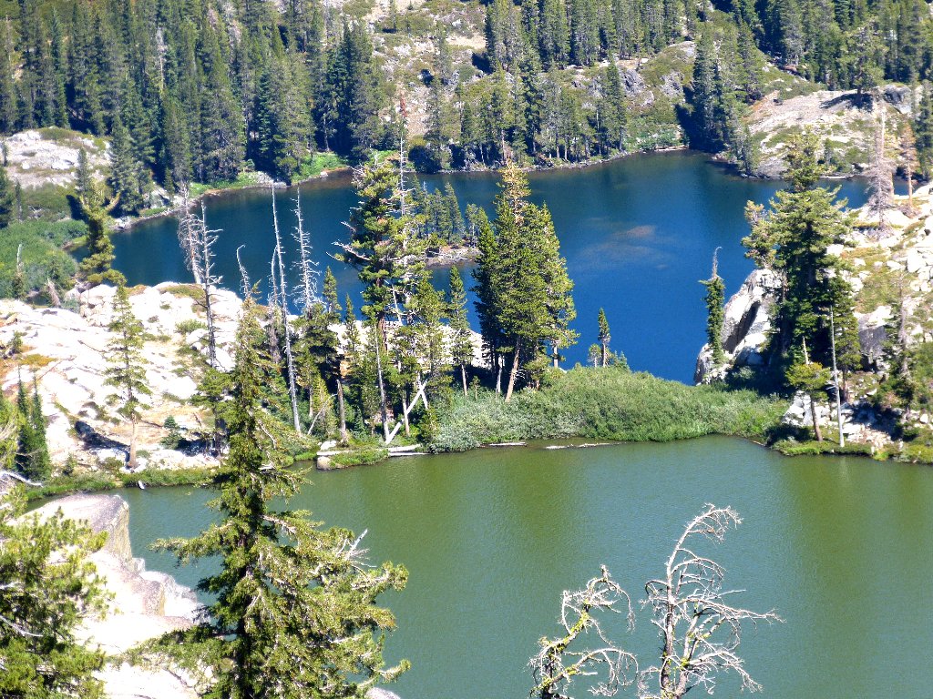
So after having gone for decades without viewing this gem, now I have seen it twice in one summer (Hike #165). Go figure.
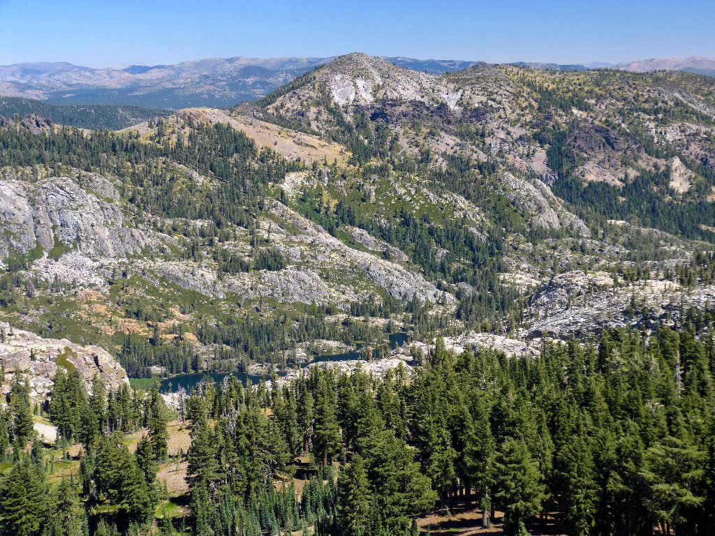
The lake is 1,800 feet below
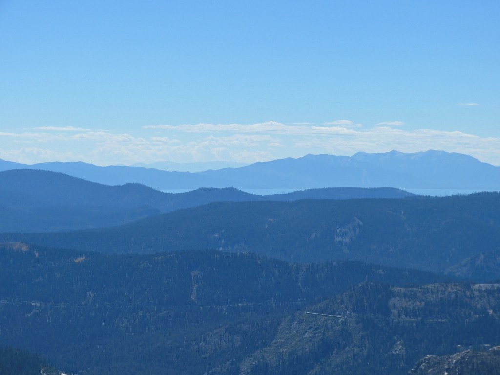
Mount Rose, 10778', is 24 miles east
As anticipated, a perfectly fine trail leads down the north side of this hill to connect with the PCT. After descending just a little bit, I bid my new friends a temporary adieu and strike off to the northeast; for there is an elusive feature that I must check out. After a third of a mile, I find a good overlook just where my GPS indicated it would be.
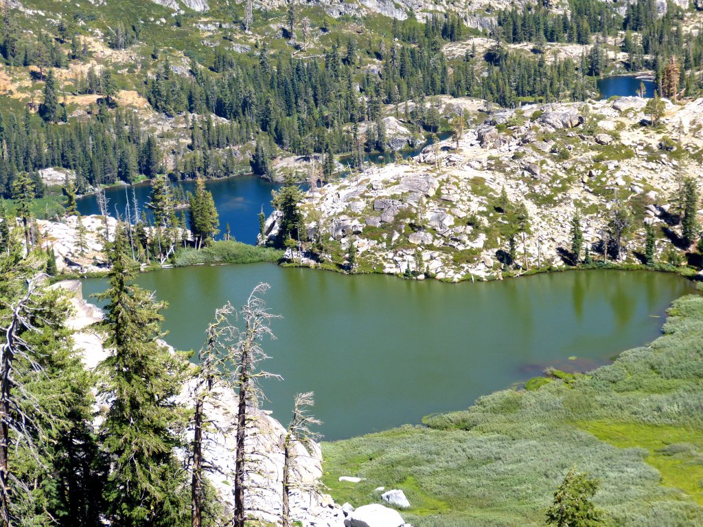
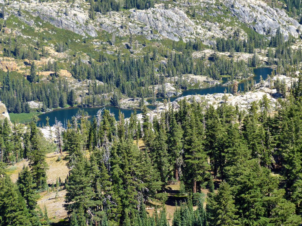
Devils Oven Lake
That lake isn't much to look at, but it does have an unusual setting. It cannot be seen from viewpoints to the north, which is why I missed it back in July.
The green lake lies 664 feet above the blue one
Now it is time to see whether I can catch up with the others. That should not be difficult, but I must walk quickly.
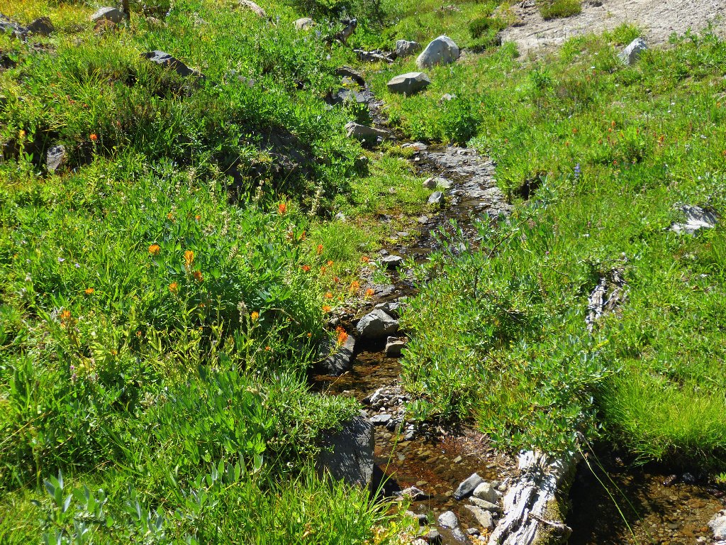
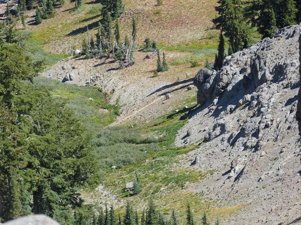
The only running water I have seen today
Back on the Pacific Crest Trail
A glance up at Basin Peak suggests that we easily could have traversed straight down the hill rather than following the use trail's circuitous route.
Easy cross-country going was available
Catching up with the guys even sooner than expected, I humor myself by shortcutting a section of trail to get ahead of them; then, standing in the middle of the path as they round a corner, I can only say, "What took you so long?"
Near the south end of Round Valley, at a junction with a spur route that leads over to Sand Ridge Lake, is a big pile of cut wood. This can only mean that we are near the local Sierra Club ski hut:
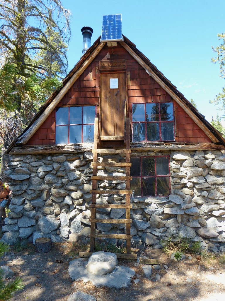
Peter Grubb Hut
This place is quite popular with winter-sports aficionados.
The upstairs sleeping quarters can accommodate up to fifteen friendly
people. Getting to the outhouse on a mid-winter's night
could be problematical, though.
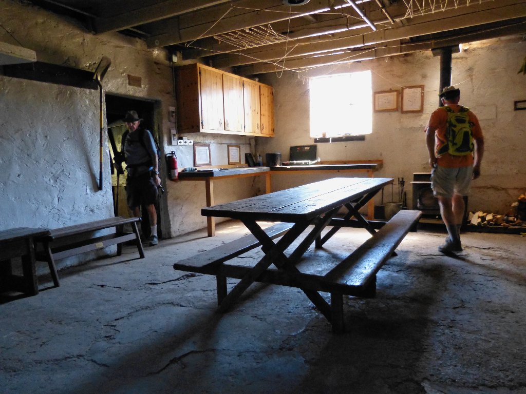
The kitchen features solar electric lighting
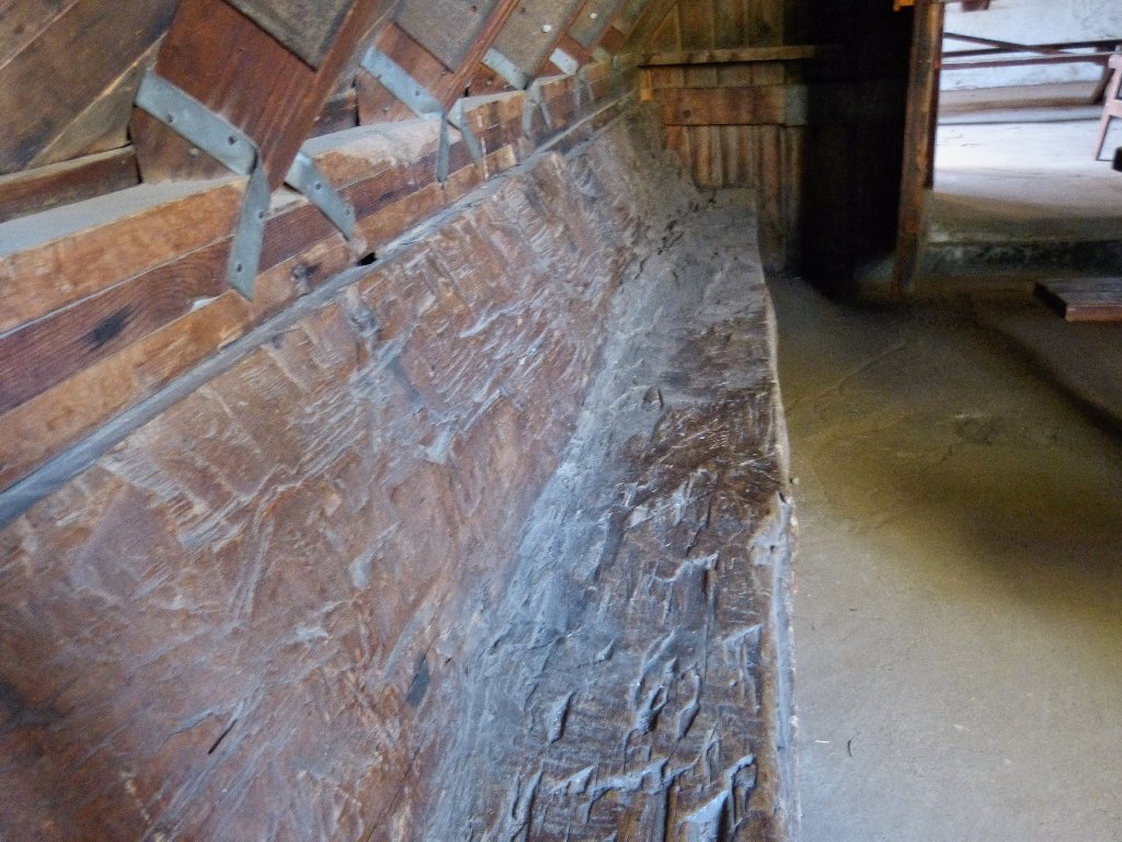
Bench hewn from a solid log
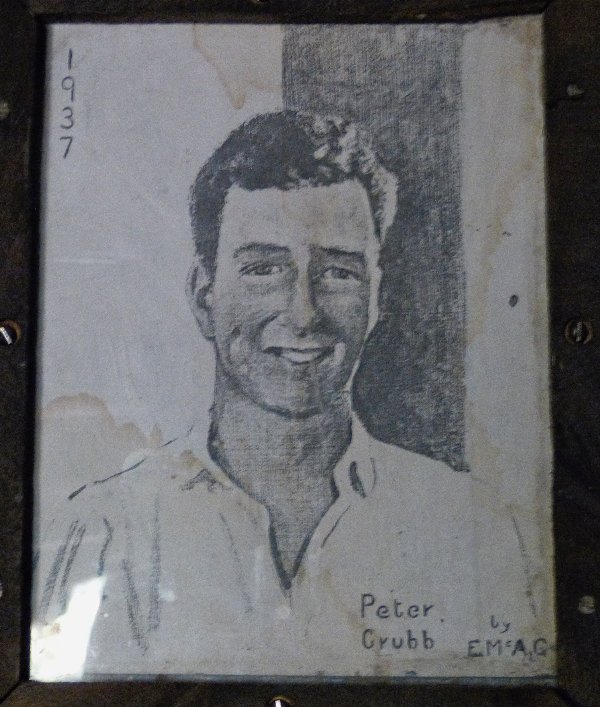
The hut was constructed in 1938-39 by friends and family as a memorial to Peter Grubb of San Francisco, who somehow died at the age of eighteen while on a European bicycling tour.
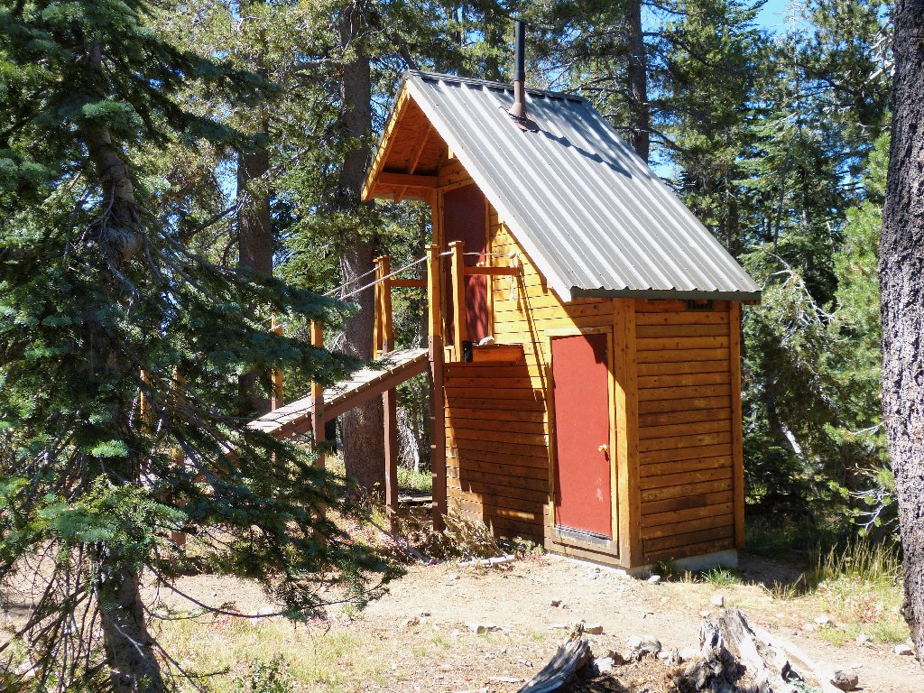
A modern, albeit unorthodox outhouse
Is "modern outhouse" an oxymoron?
From here it is a short climb back to Castle Pass, then another mile to the car. Emerson accepts my offer of a ride down to the main parking lot.
The final descent
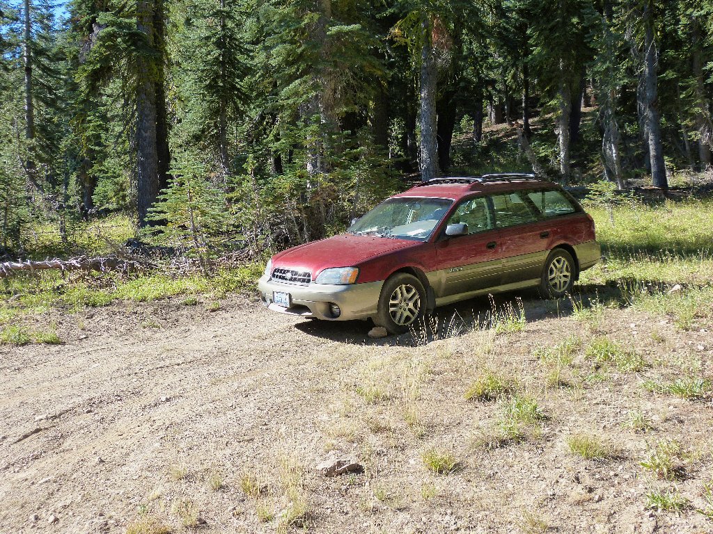
Always a welcome sight at day's end
§: What a fun day! Sharing a trail like this with
interesting people adds a lot to the enjoyment of any walk.
This one could be done anytime the area is reasonably free of snow.
An optional return route is available by heading west from just north
of the ski hut toward Sand Ridge Lake, then picking up the newer,
bicycle-oriented Hole In the Ground Trail southward over Andesite
Peak. Plan to make way for bikers, who always will assert the
right-of-way even though they are not entitled to it.
| Scenery |  |
| Difficulty |  |
| Personality | |
| Adventure | |
| Solitude |  |
