
Hoover Wilderness
|
Treble Lake Loop Hoover Wilderness |
August 26, 2012
Because my bride is visiting her out-of-town mother, I have three days to kill. Having postponed any walks in the Tioga Pass area due to my lengthy excursion to Glacier Park earlier this month, it is time. There is so much unfinished business up here; but since I have done but a single walk in two weeks, I believe that I will take it easy today.
Lying along the eastern slope of the Sierra Crest, but out of sight from any road, is a chain of lakes accessible from the Bennettville Mine Trail. In order to save a mile of walking, I will try to find my way over to that trail from the campground at the Saddlebag Road junction.
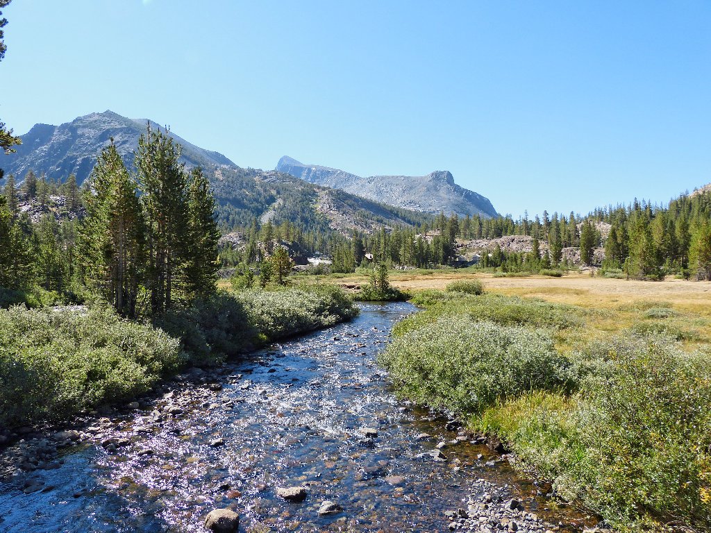
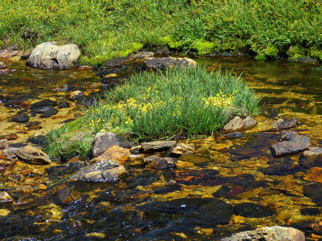
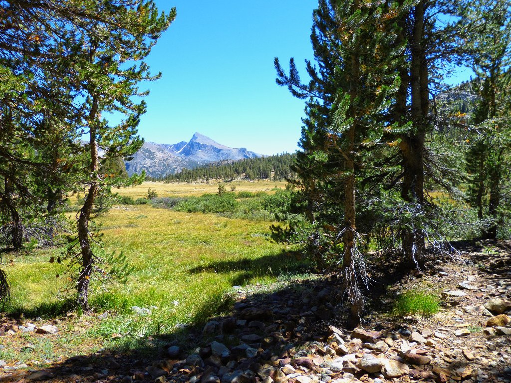
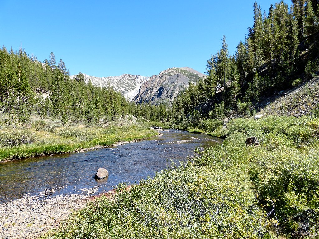
Lee Vining Creek at the parking lot
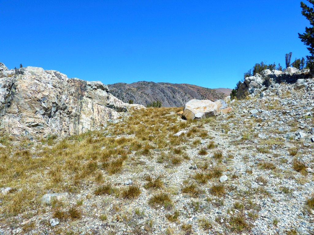
Although I am inexplicably lacking a map of the lower end of this trek, there is indeed a little path heading in the right direction from the back end of the campground. All goes well for ten minutes or so.
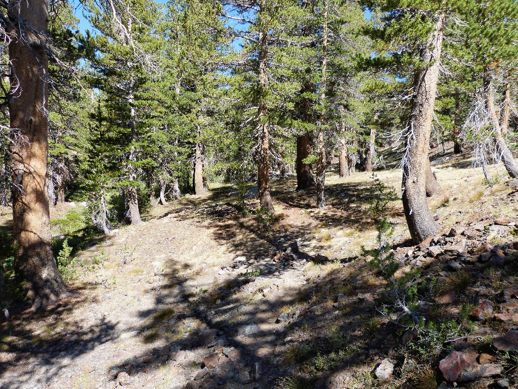
Starting out
Saddlebag Lake Road
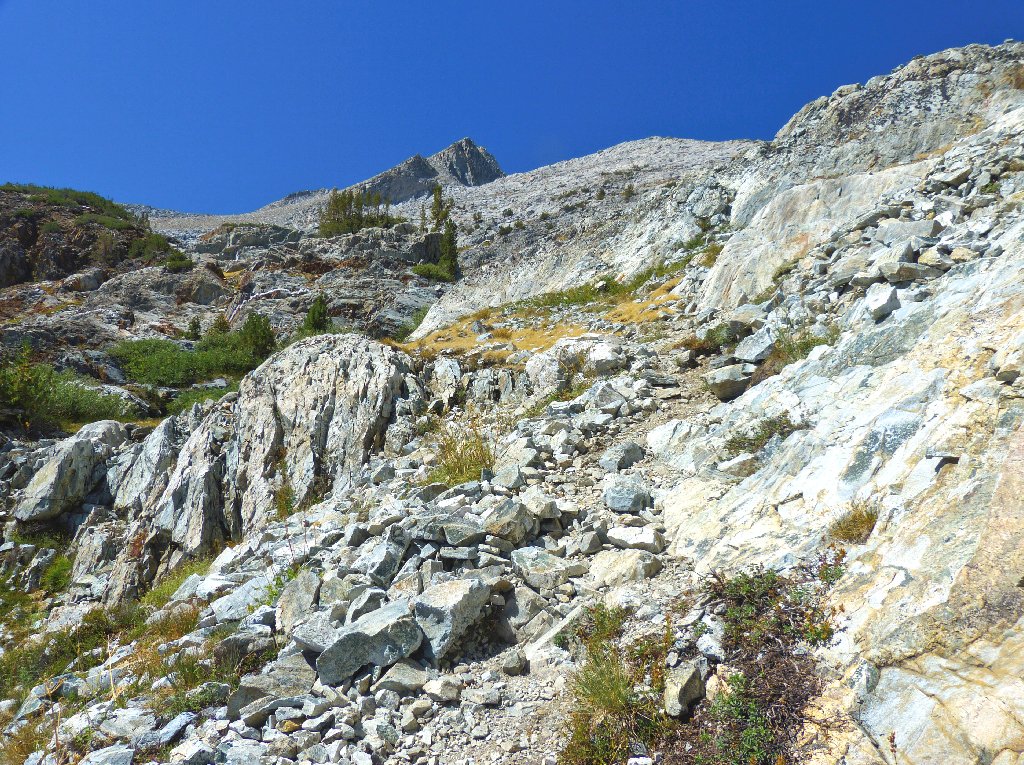
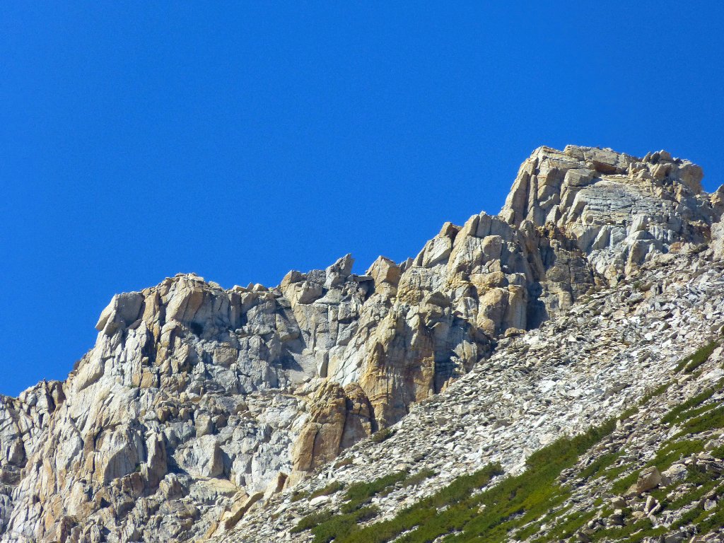
Wait a minute! If I can see the road, then I must be on the wrong side of the hill. I start climbing a bit, hoping that there is an easy way out of this predicament, but to no avail. Finally, I bite the bullet and head straight up the slope, negotiating scree and rocks for nearly two hundred feet, almost to the high place shown on the topo map as Point 10065'.
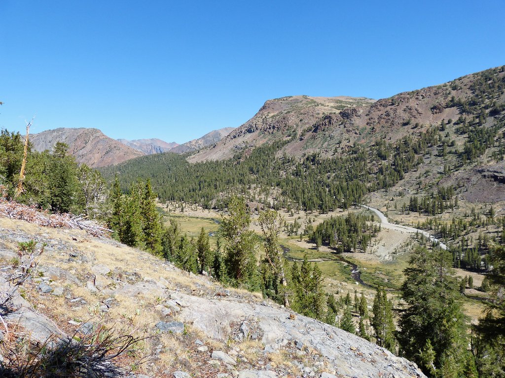
Once atop the rise, I spot the elusive trail. I see also that I have missed the chance to peer into a hole at the old silver mining site, but I can live with that. This native Nevadan has seen plenty of abandoned mines over the years. From here I can see just one of the remaining original buildings.
The trail and the Bennettville Mine are way over there
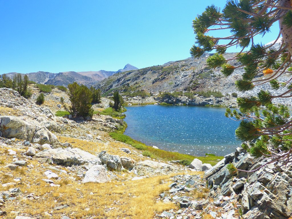
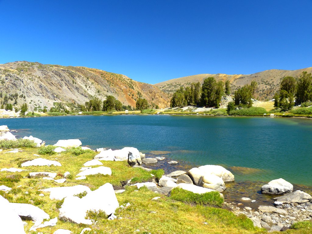
My timely deductions and speedy reaction to the crisis are rewarded, however; for just below me is Shell Lake, the first one on the menu. Had I procrastinated further, I would have missed this lovely setting.
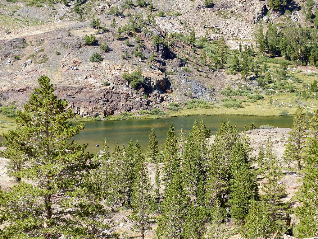
Shell Lake
This lake is about eleven hundred feet long
Mount Dana is peeking above the trees to the south. Missing from its flank this year is the big snow bank that hikers normally must traverse in their quest for the summit.
Mount Dana, 13061'
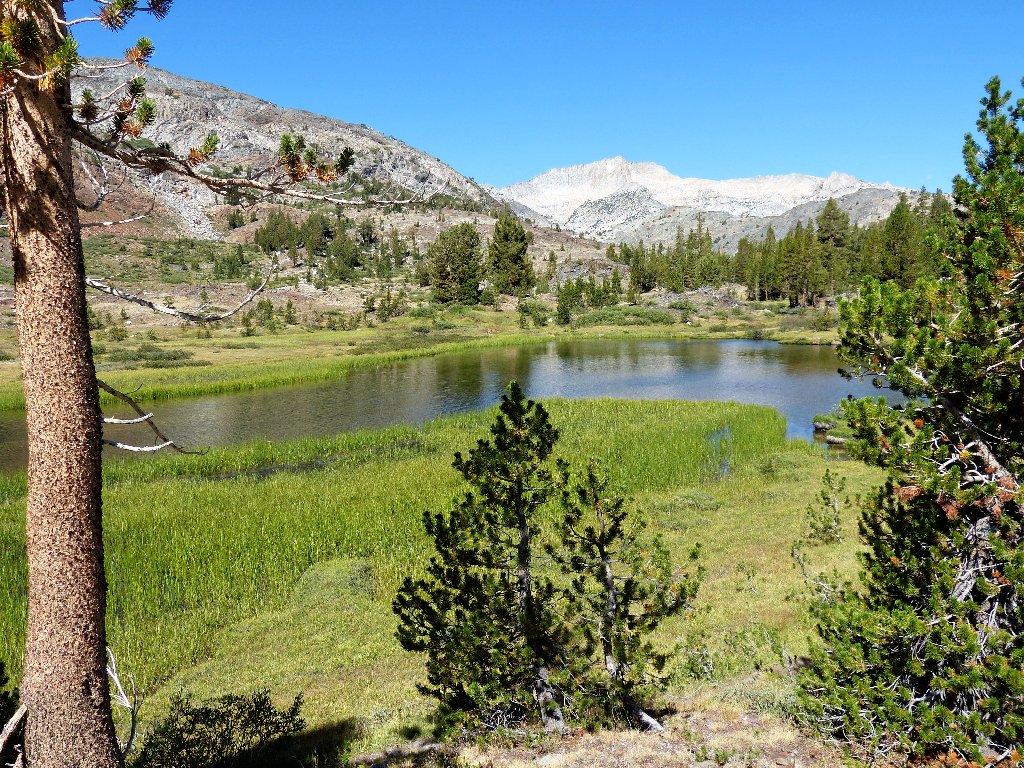
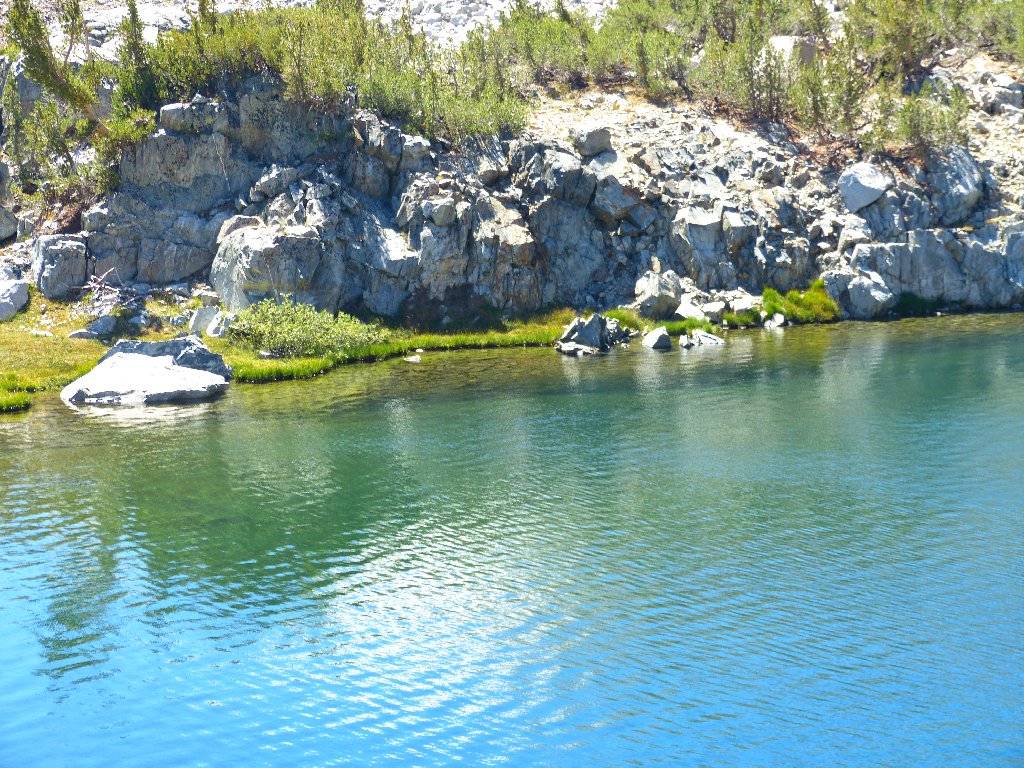
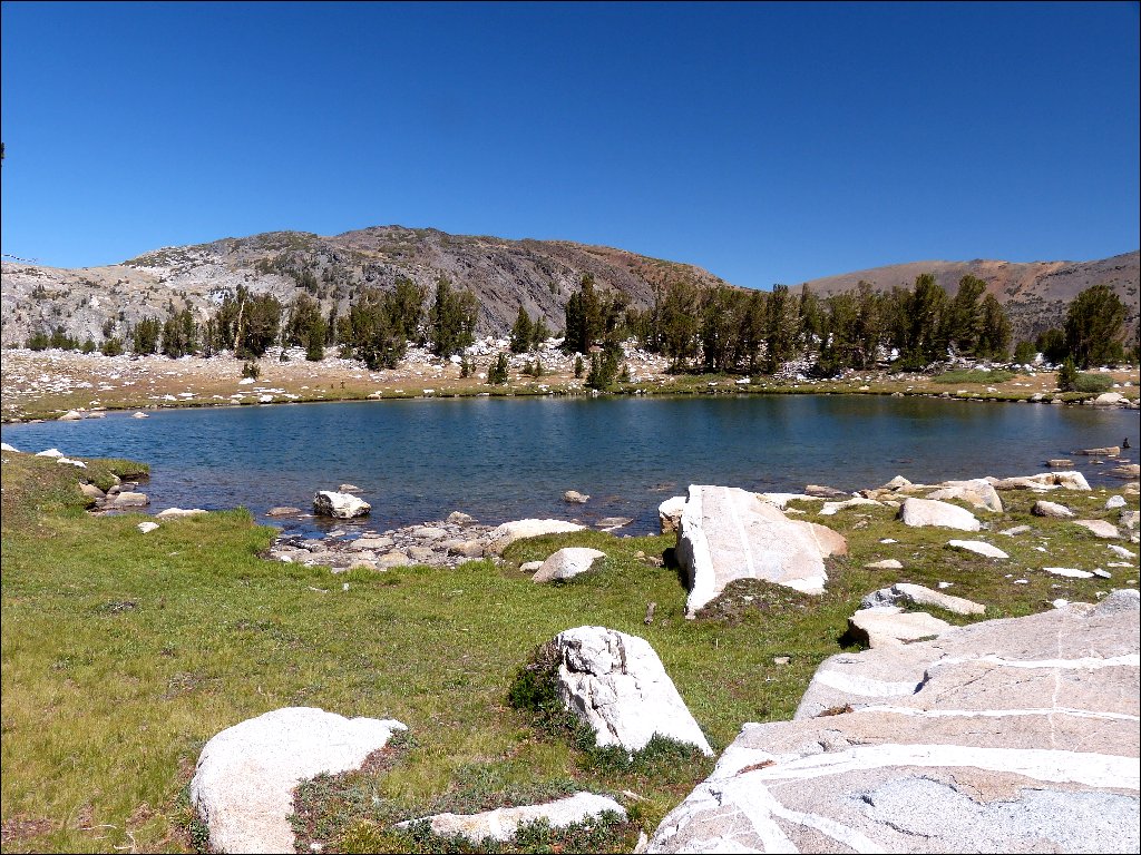
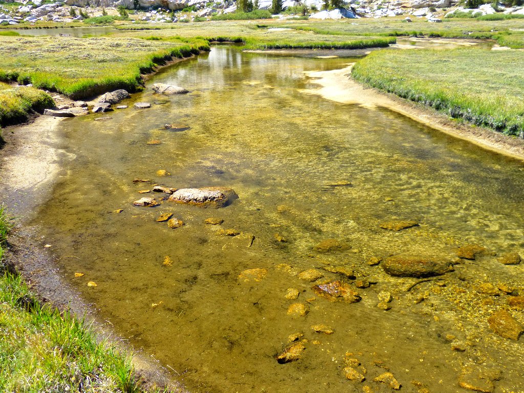
Just past Shell lake is a shallow one with a nice white sandy bottom, yet which lacks a name; I must give it one.
Pretty Lake #1
Presently a couple of signposts serve as a reminder that this will be my eighth different trail into the Hoover Wilderness and my fourth visit to the Hall Natural Area. Oddly enough, this area was included in Yosemite Park from 1890 to 1905.
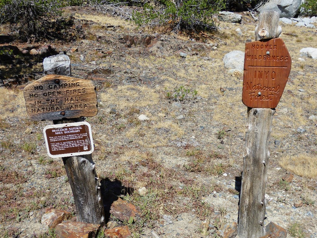
Entering a very special place
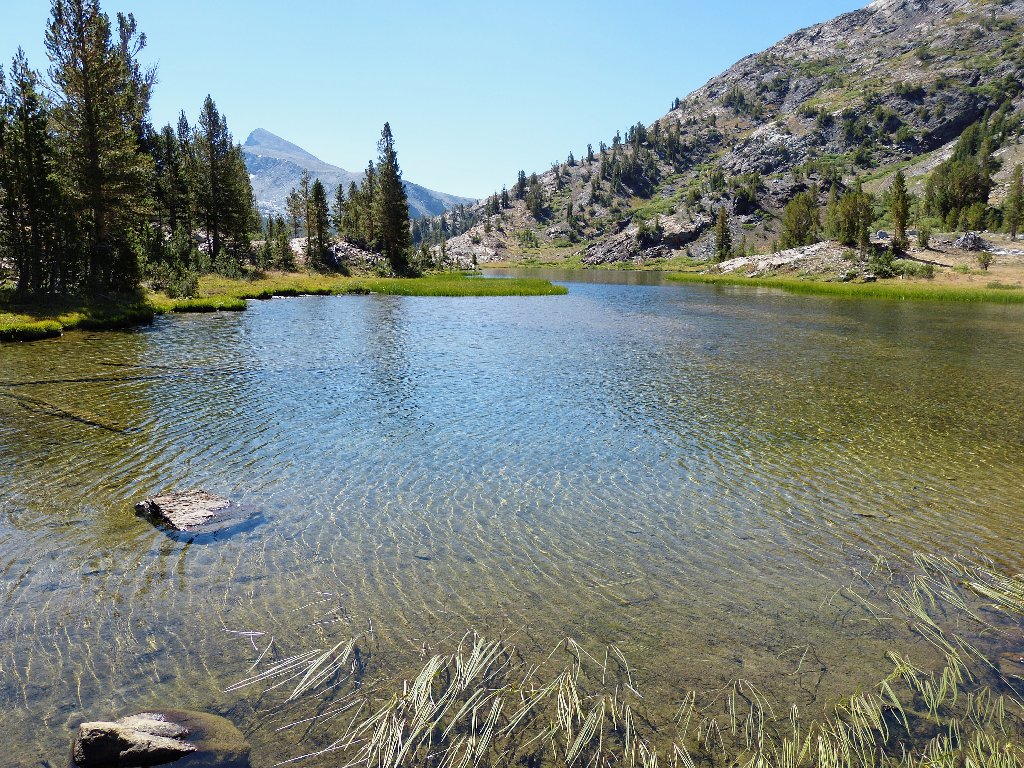
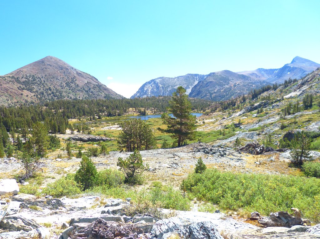
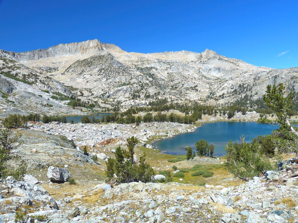
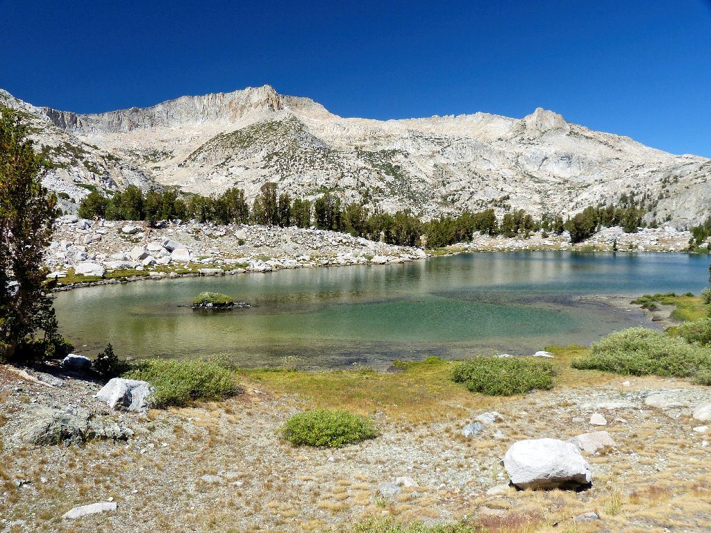
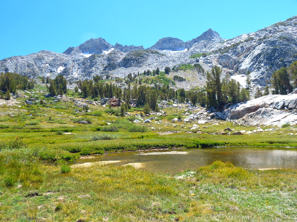
A fine use trail continues northward to the biggest lake that I will see on this trek.
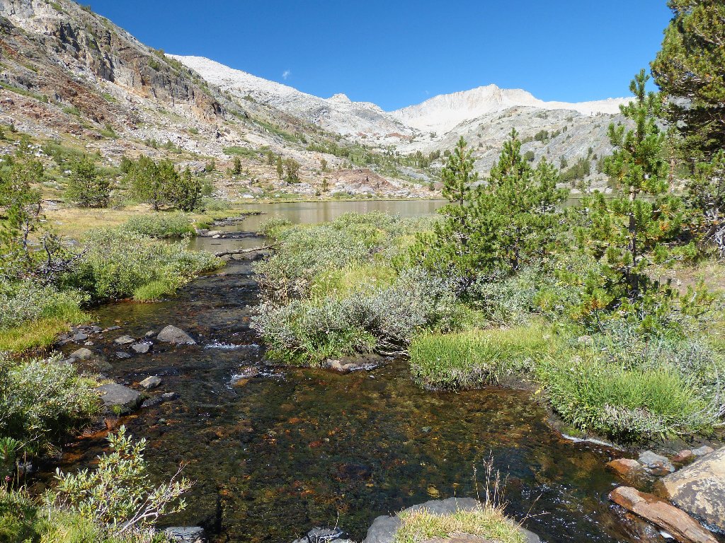
Approaching Fantail Lake
Overlooked by White Mountain, 12057'
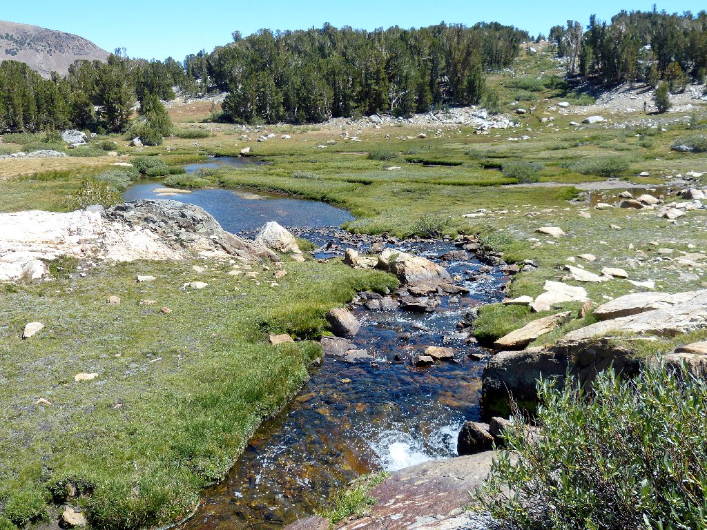
Upstream are a couple of nice cascades, and I am headed in that direction.
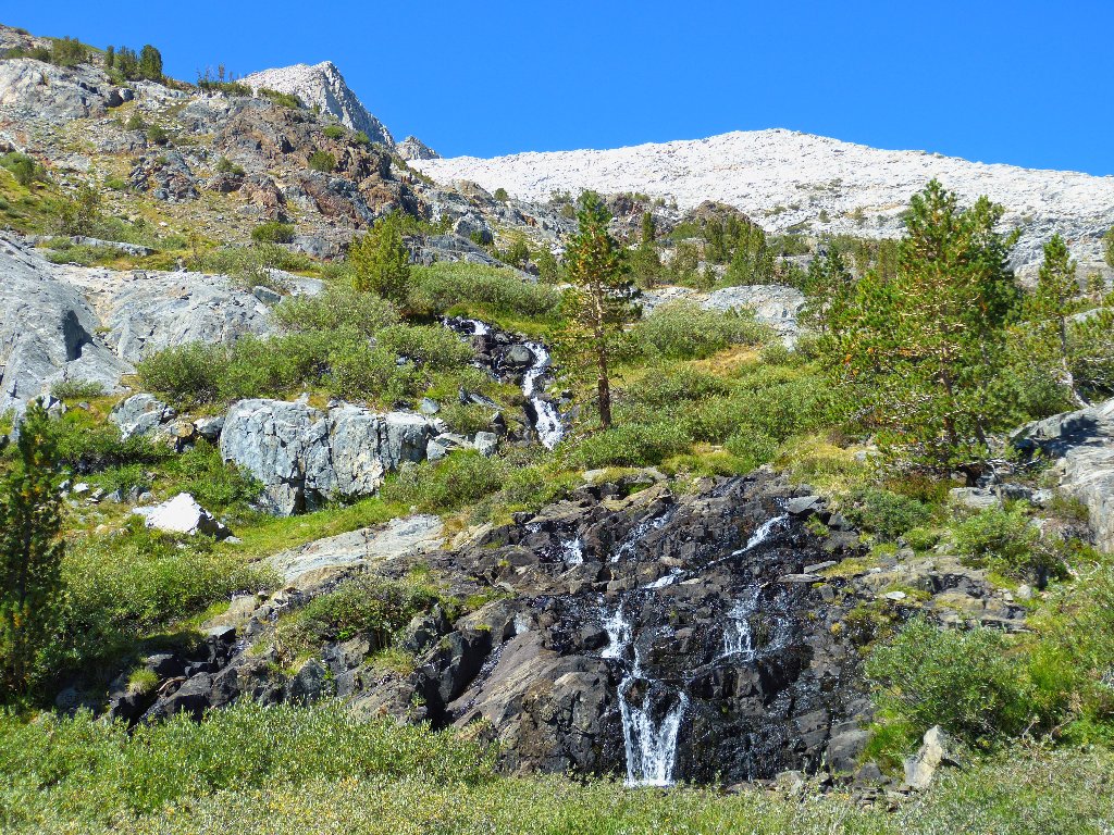

Continuing up the trail
A glance back at Fantail Lake and Tioga Peak, 11526'
Interesting cleff
Colorful trail
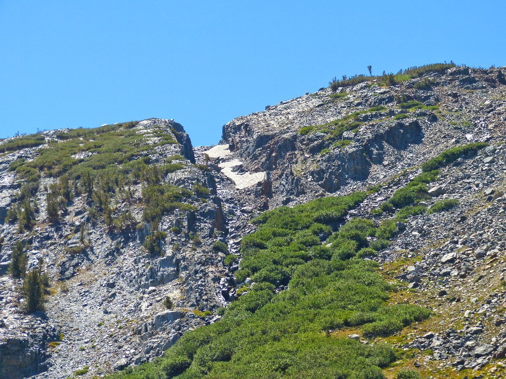
Even up here a walking route is well-established. A total climb of about four hundred feet puts me over the top.
Scaling this hill actually is fun
Spuller Lake, 10250'
The Reverend Everett Spuller of Oxnard, California, named this one for himself while helping Al Gardisky to manage the Tioga Pass Resort in 1932. The two of them named more than twenty lakes in what is now the Hoover Wilderness.
The water is icy cold
The ubiquitous Mount Conness dominates the skyline.
Mount Conness, 12589'
North of Conness, only two peaks in this country are higher: Mount Shasta
(14180') and Mount Rainier (14411'). The mountain's namesake
glacier is out of sight on the north side; I will not see it today.
Leaving Spuller Lake
Another short climb of about eighty feet is in order. The trail
more or less disappears here, but it hardly matters; there is only one
way to go — to see what is on the other side.
This is exciting
Oh, my! It is just as I anticipated: glorious!
This is why I go hiking
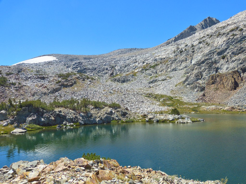
To the east are Saddlebag Lake and its barely visible dam
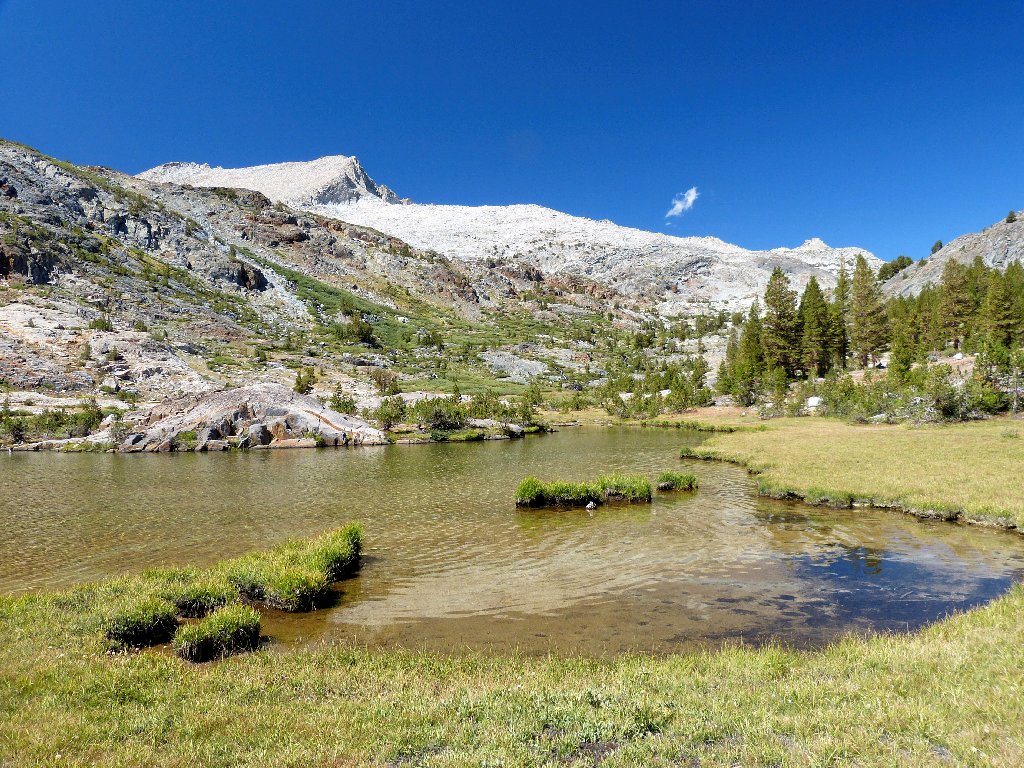
Maul Lake
Nearby is another lake unnamed on the topo map; ah, there it is,
just past a flower-filled meadow.
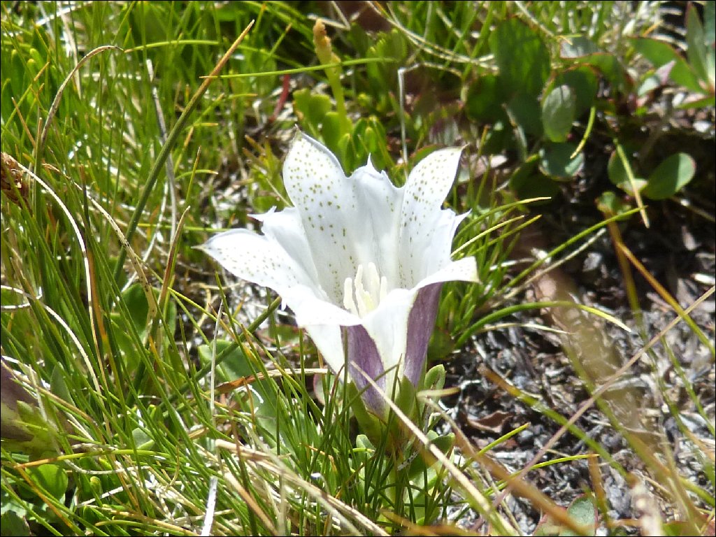
Tioga Gentian
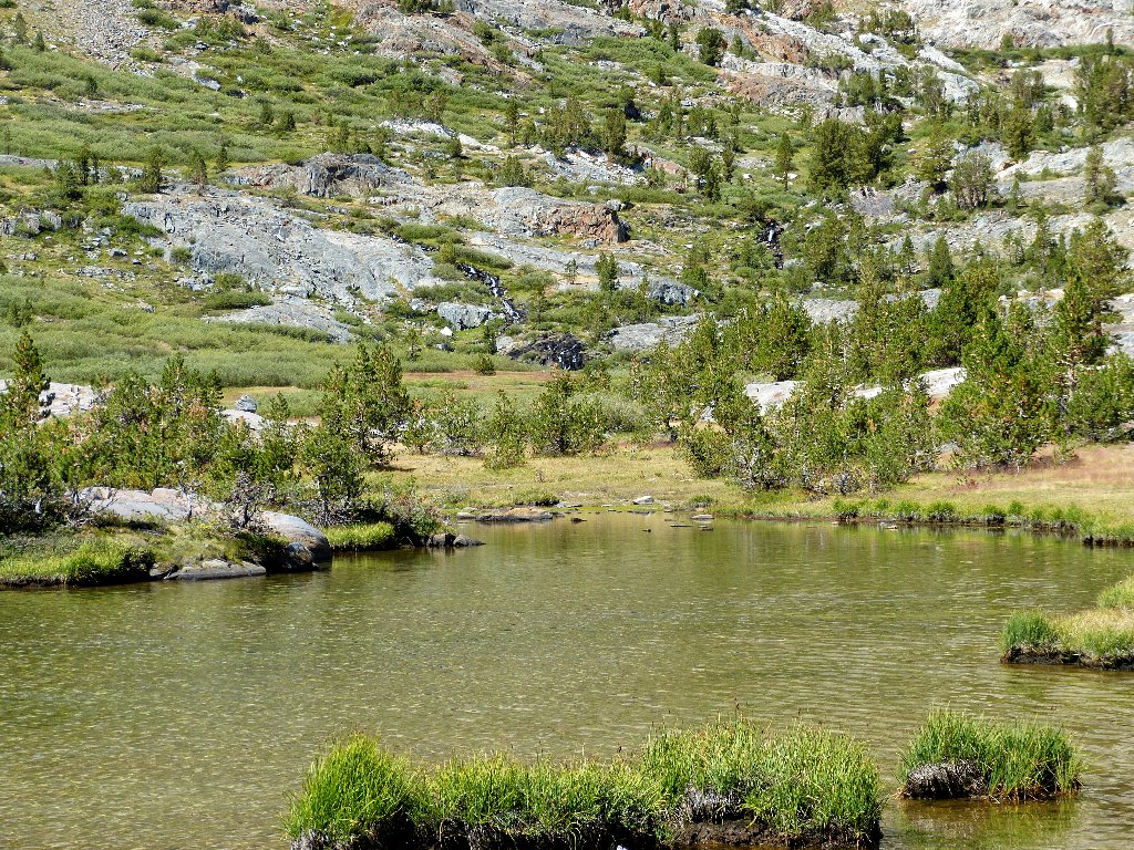
Green Lake
The leftmost body in this group is named "Green Treble Lake" on the map; but a bit of clarification is in order. If you think that that name doesn't make sense, you are right. It so happens that in 1932 Everett Spuller named the largest lake "Treble", because there were three lakes in the group. The little one in the middle was called "Green Lake" after a local forest ranger by that name. On the topo map, however, the two names errantly were combined into one. It seems appropriate to support Spuller's original designations rather than those of an incompetent mapmaker.
Also, "Maul Lake" was named in 1932 by Al Gardisky to honor the current Forest Service supervisor. In this case, it was not the USGS, but both Gardisky and Spuller themselves who were guilty of a misspelling; for the supervisor's name was William E. Maule.
Treble Lake is trebly beautiful
Exquisite, even this late in a dry season
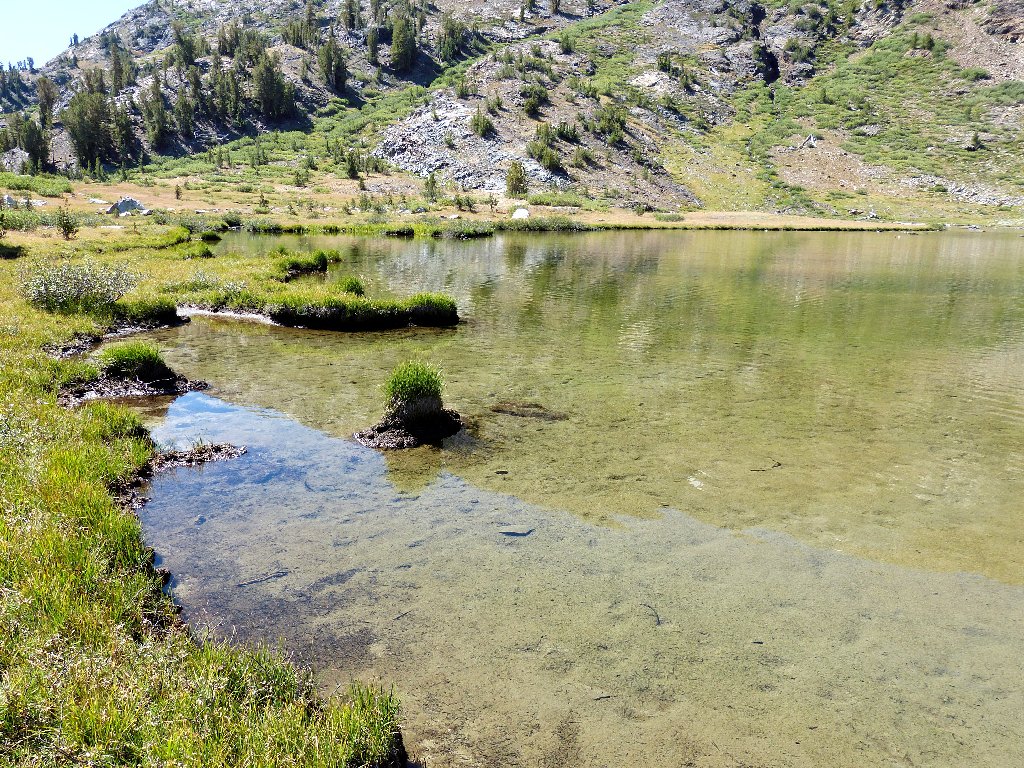
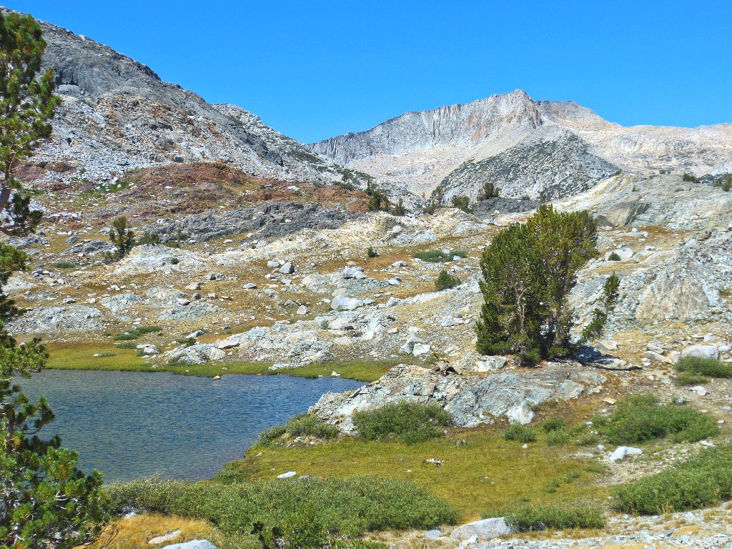
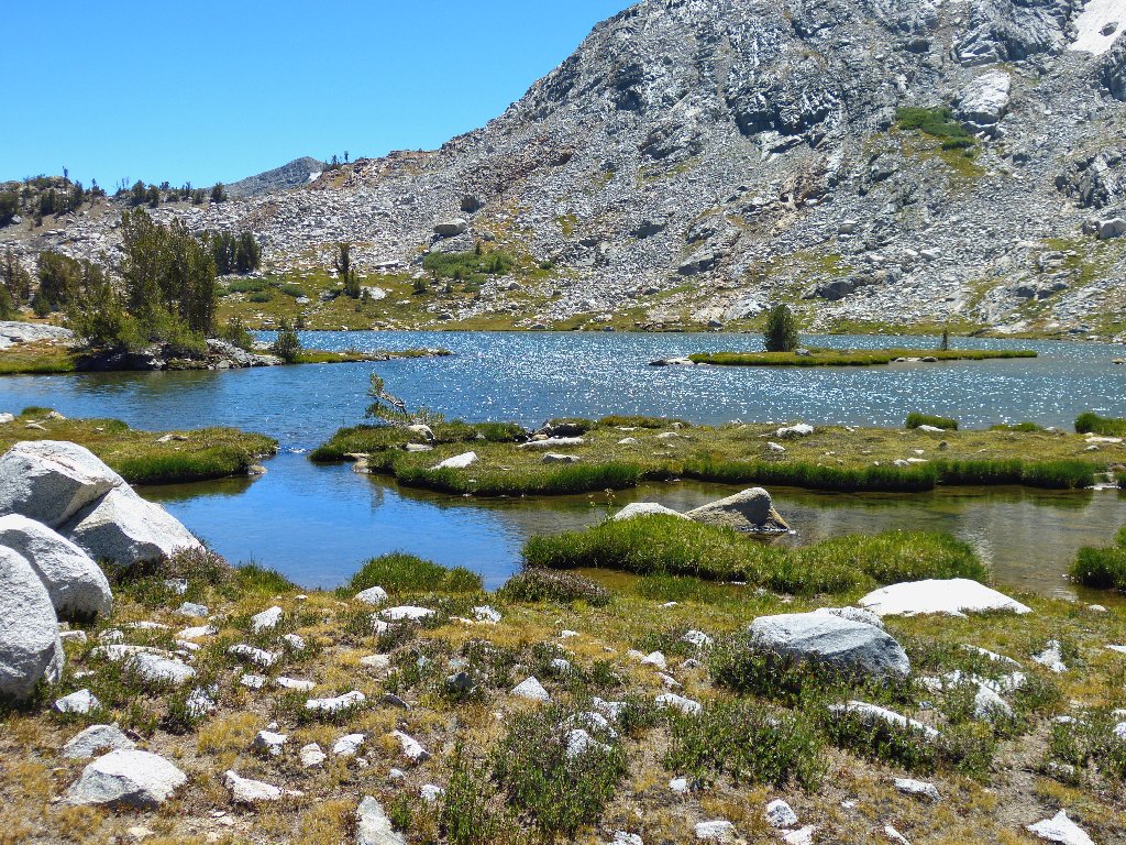
According to the map, there is one more lake to visit. Yes, I can just barely make it out over there underneath the great expanse of white granite.


Getting closer

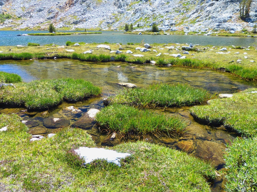
This pond will dry up soon
I am so pleased that water still is flowing around here
This little guy is under-appreciated as well, but not by me.
Pretty Lake #2
I don't see anyone atop Mount Conness today. Having long surmised that the views from the top rank among the finest in the Sierra, I surely would like to get up there myself sometime.
The summit block is two miles away and 2,400 feet up
Wow! The 24× telephoto on my brand-new Panasonic FZ-150
is working pretty well. I have some issues with the color settings,
though; more experimentation is in order.
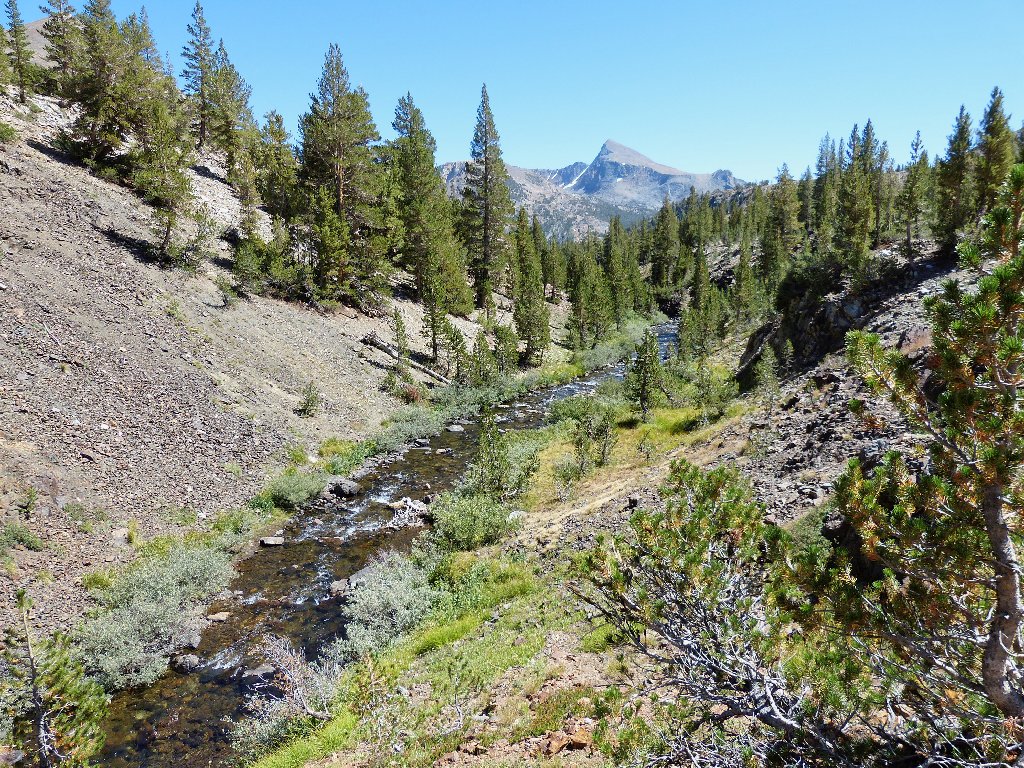
Slate Creek
This is far as one can go without actually climbing a mountain. The creek heads east toward Saddlebag Lake Road, and so do I.
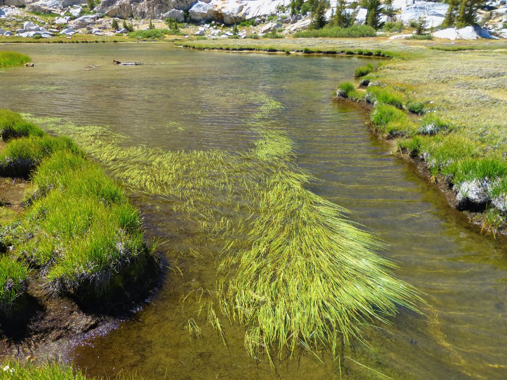
Staying near the water
Monkeyflower Island
Before long I pick up a well-worn trail that hardy souls use for accessing the high peaks. Today, I will head in the other direction.
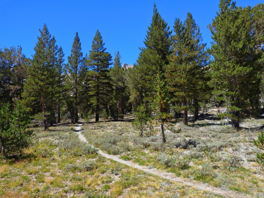
Climbers' trail
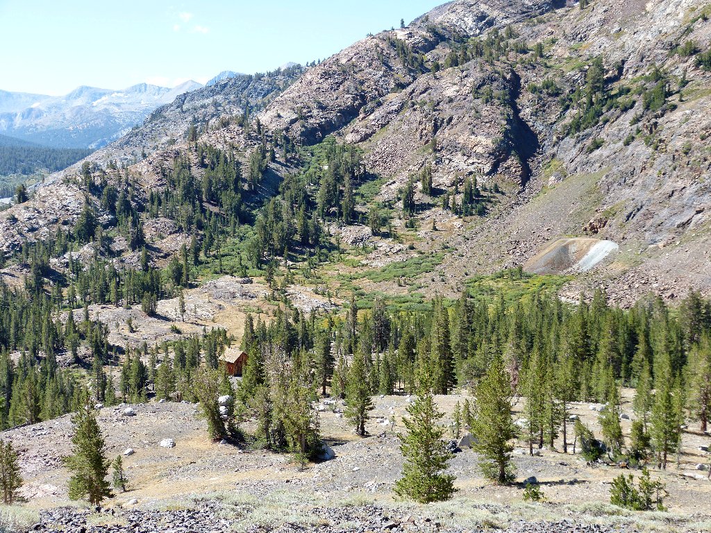
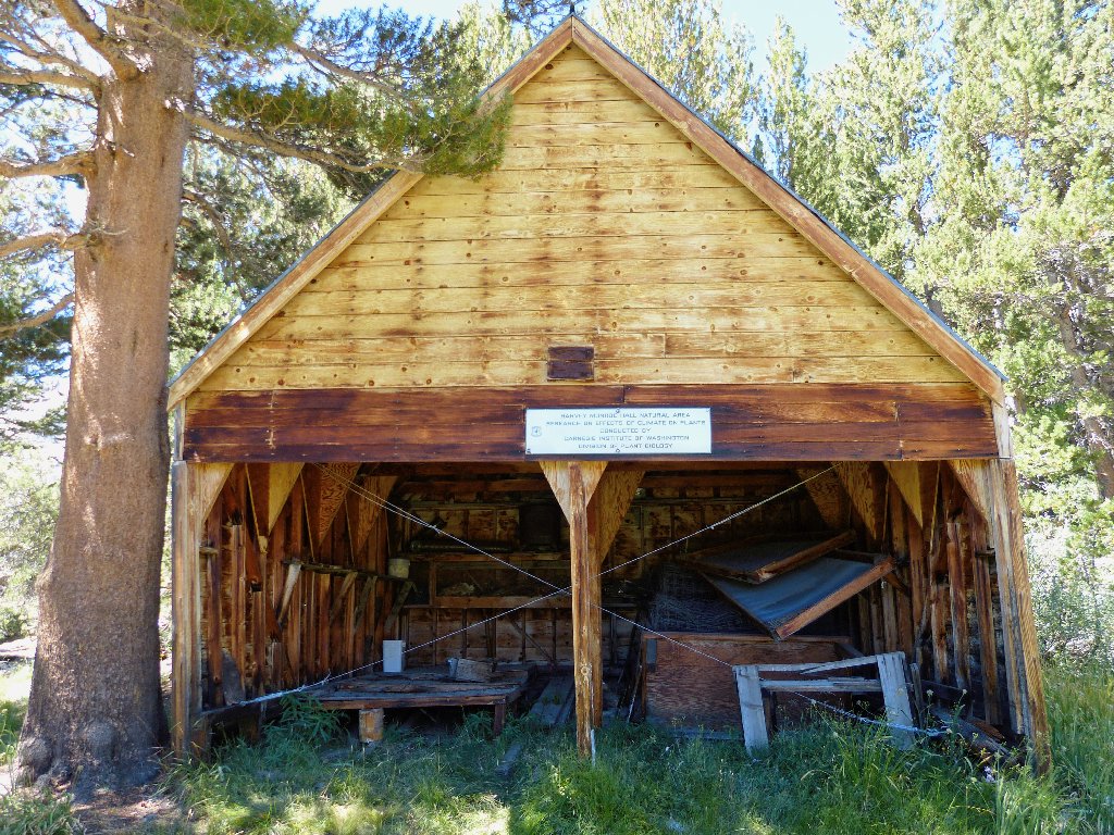
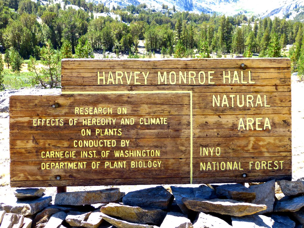
Nearby is a Carnegie Institute maintenance facility and a nice sign
advertising its purpose. Called Timberline Station, it was built
in 1929. Mr. Hall, born in 1874, was Assistant Professor of Botany
at Sacramento State and authored many books on west-coast flora.
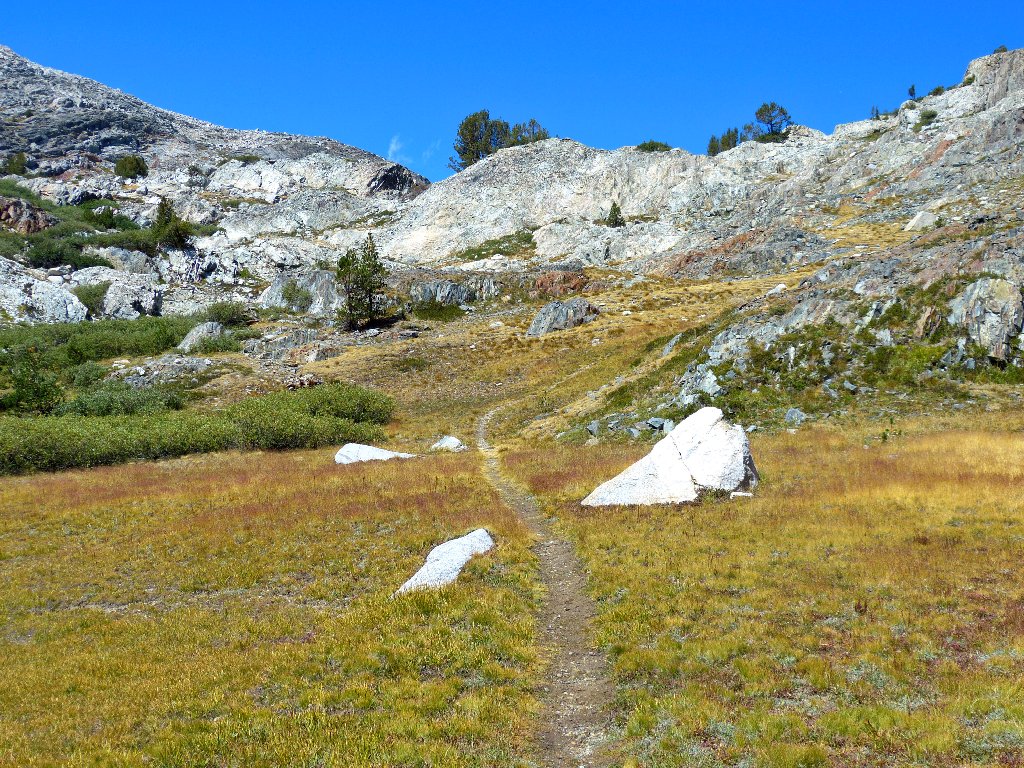
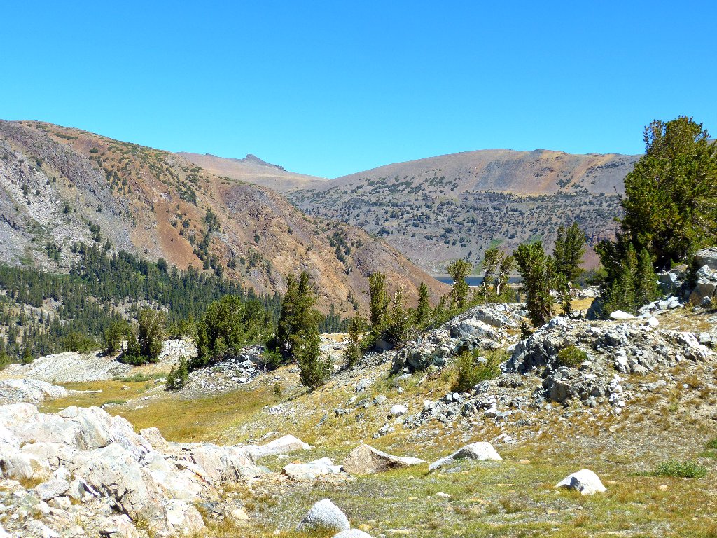
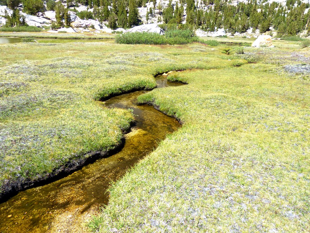
The Sawmill Walk-in Campground is next on the route; but the idea of finishing this walk on a road is unappealing. It should be easy enough just to follow Lee Vining Creek down through the meadows; should I need to ford it a couple of times, so be it.
Two miles to go
As usual, I encounter a couple of interesting sights along the way:
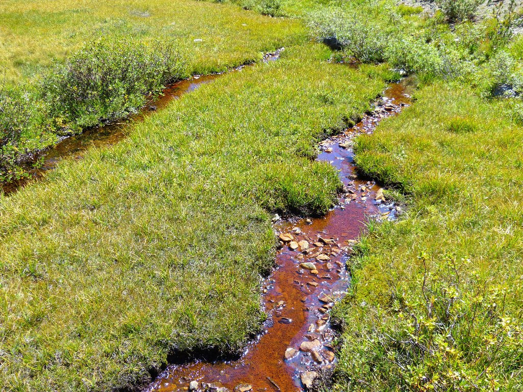
Red creek
I should kick these down, but I'm too weary
A little canyon forces me to detour to the right. After that, a tight squeeze through the trees sees me back to the campground.
Nearing the end
§: Every journey into the Harvey Monroe Hall Natural Area
affects me in that special way that can be experienced only by visiting
an exquisitely beautiful place. I was not the least bit unhappy
about having it virtually to myself, but I am flabbergasted that hardly
anyone else was out there on this perfect hiking day.
Although the official trail ends at Shell Lake, friendly and relatively
well-maintained use trails can be found throughout the entire
route — provided that you don't take Ted's Terrible Detour
over Peak 10065! Opting to start at the official trailhead
across from Tioga Lake could save perhaps two hundred feet of climbing,
but it would add nearly a mile to an out-and-back, or even more
to a loop trip.
If more flowers had been out and the slog through the meadow hadn't been so long, I would have rated this trek more highly. Should I revisit this area, I probably will ignore the loop option and retrace my steps past all the gorgeous lakes; and next time I will get a closer look at the historic mining site.
| Scenery |  |
| Difficulty |  |
| Personality |  |
| Adventure | |
| Solitude | |

ABOUT BENNETTVILLE
The Bennettville Post Office opened on March 13, 1882, and a telegraph line
was strung from nearby Lundy. Due to financial difficulties and a lack
of easily accessible ore, the mine was closed within two years, leaving an
1800-foot hole in the granite. Some subsequent drilling was done;
yet little profit ever was made.
One gigantic legacy of the mine remains, however. The Great Sierra
Wagon Road was constructed to supply this operation. The 56-mile
route from Crocker's Station (west of the park) was purchased in 1915 by
Stephen Mather, director of the National Park Service. Originally so
scary that many tourists paid other drivers to negotiate its more difficult
sections, the magnificent Tioga Road now is enjoyed by tens of thousands of
visitors every year.
