
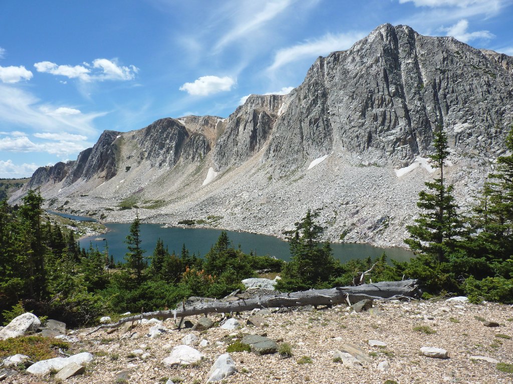
Snowy Range, Wyoming
|
Medicine Bow Peak Snowy Range, Wyoming |
August 2, 2012 — Day #4
Having spent the night in the convenient but totally unappealing community
of Rawlins, Wyoming, I must drive east, then south, then east again up into
the nearby small mountain range. When My Barbara and I first ventured
up here four years ago, I had found this to be a really good-feeling
place and had resolved to return.
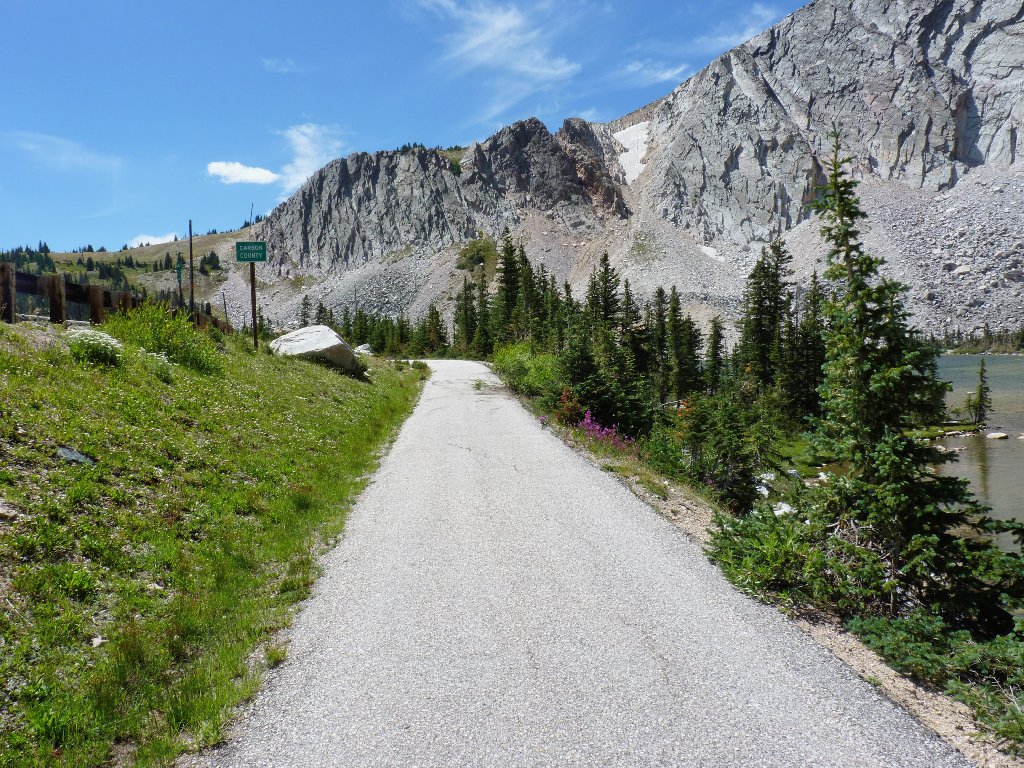
Today's trailhead is at 10,500 feet, which I believe to be the highest paved access in the nation outside of Colorado. The plan is to climb the area's most prominent peak via a loop trail that leads up the far side, then down the near side.
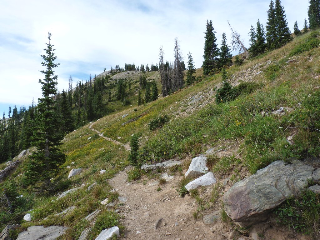
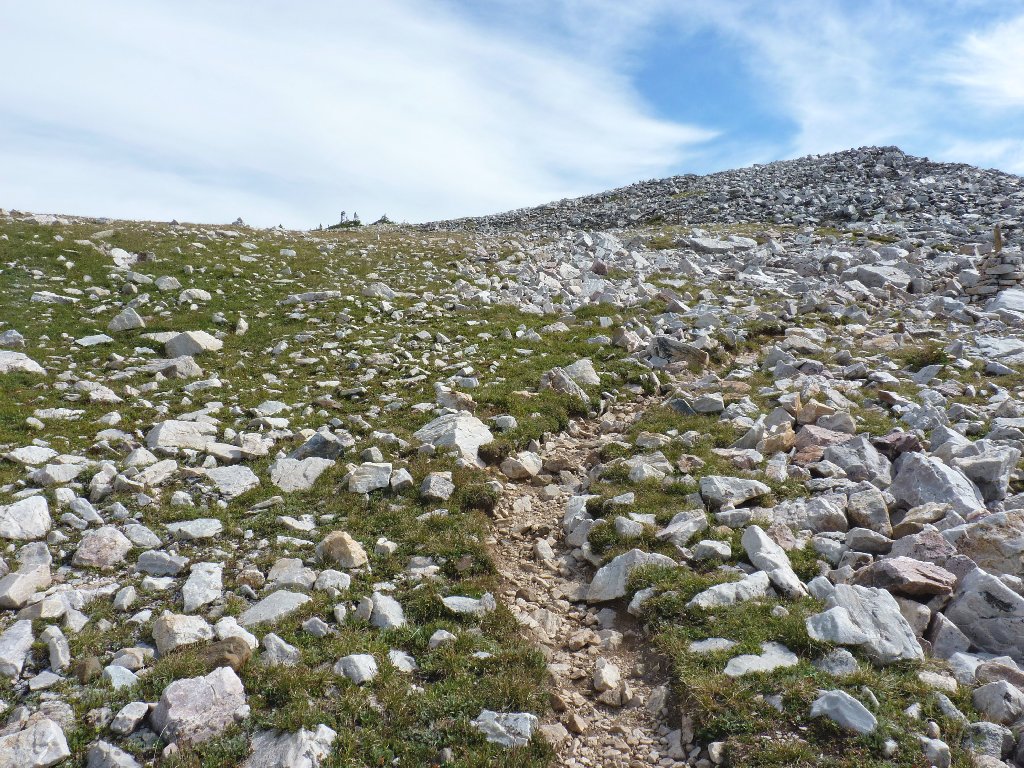
Starting up the slope
Having no idea of what actually to expect from this trail in terms of condition or difficulty, I am delighted to see that this initial section is a nice, smooth path on a grassy hillside. Almost immediately, a lone male hiker speeds by me on a mission of his own.
Looking back
Looking ahead
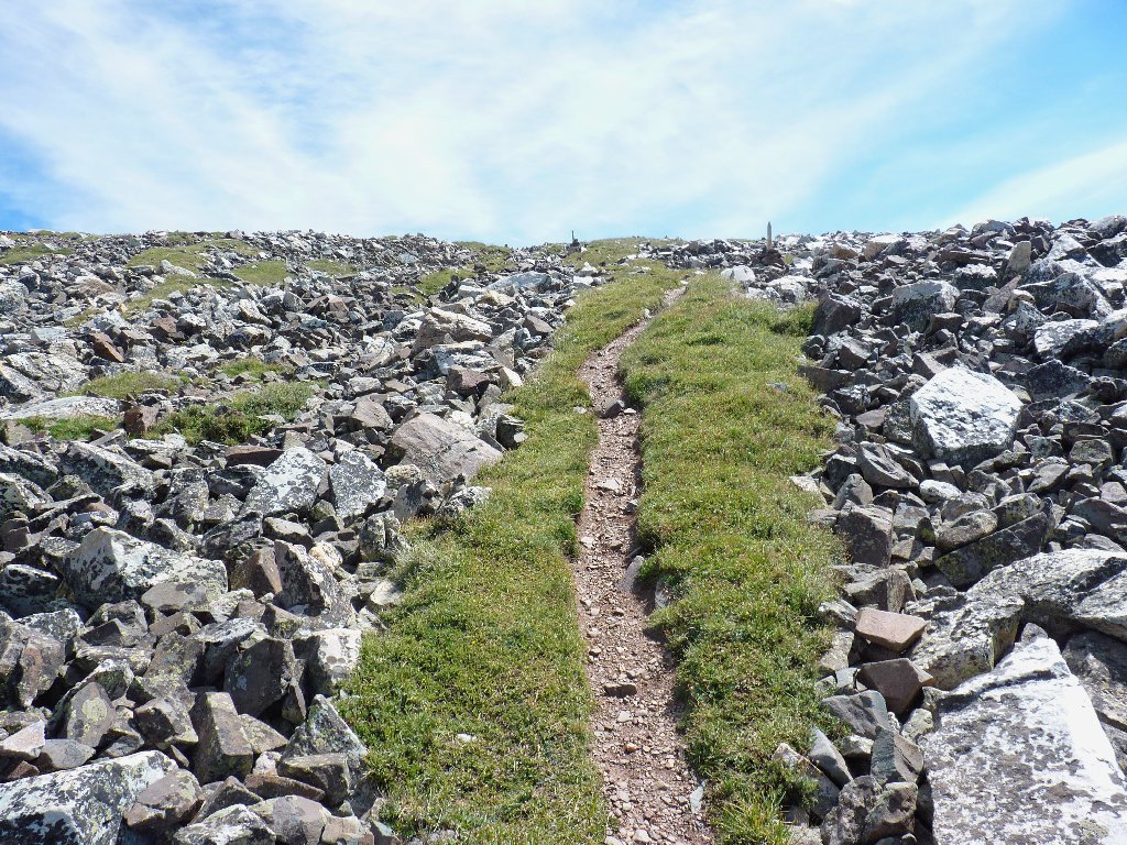
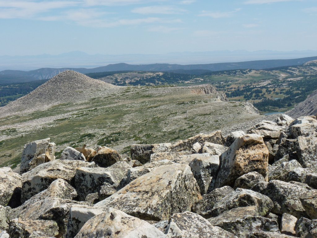
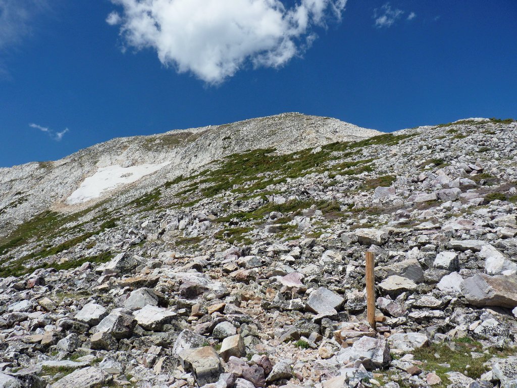
As I gain elevation, the grassland gives way to an area strewn with
light-colored boulders. Giant cairns begin to appear at
regular intervals, each featuring a pointed wooden post in the center
that stands about seven feet high. Doubtless, those things are
designed to accommodate more than just us fair-weather hikers.
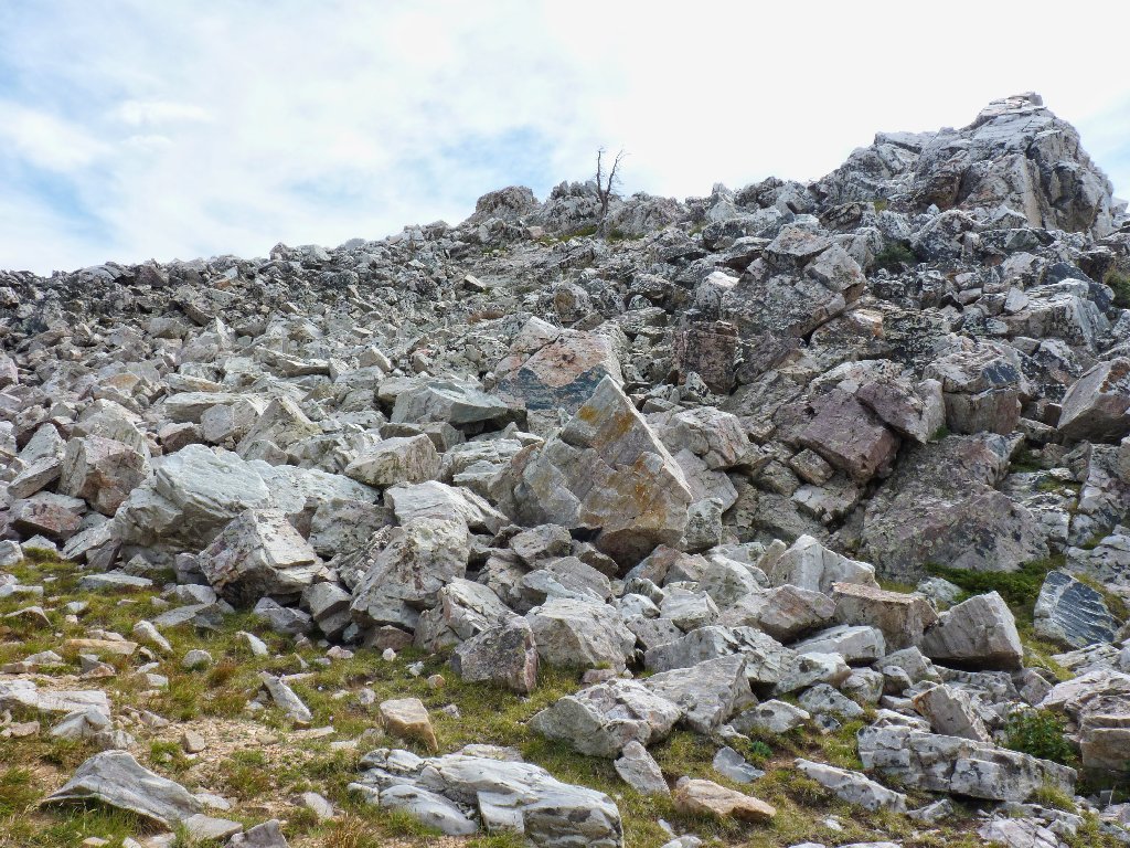
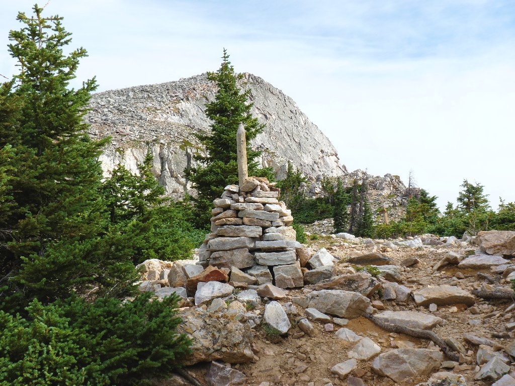
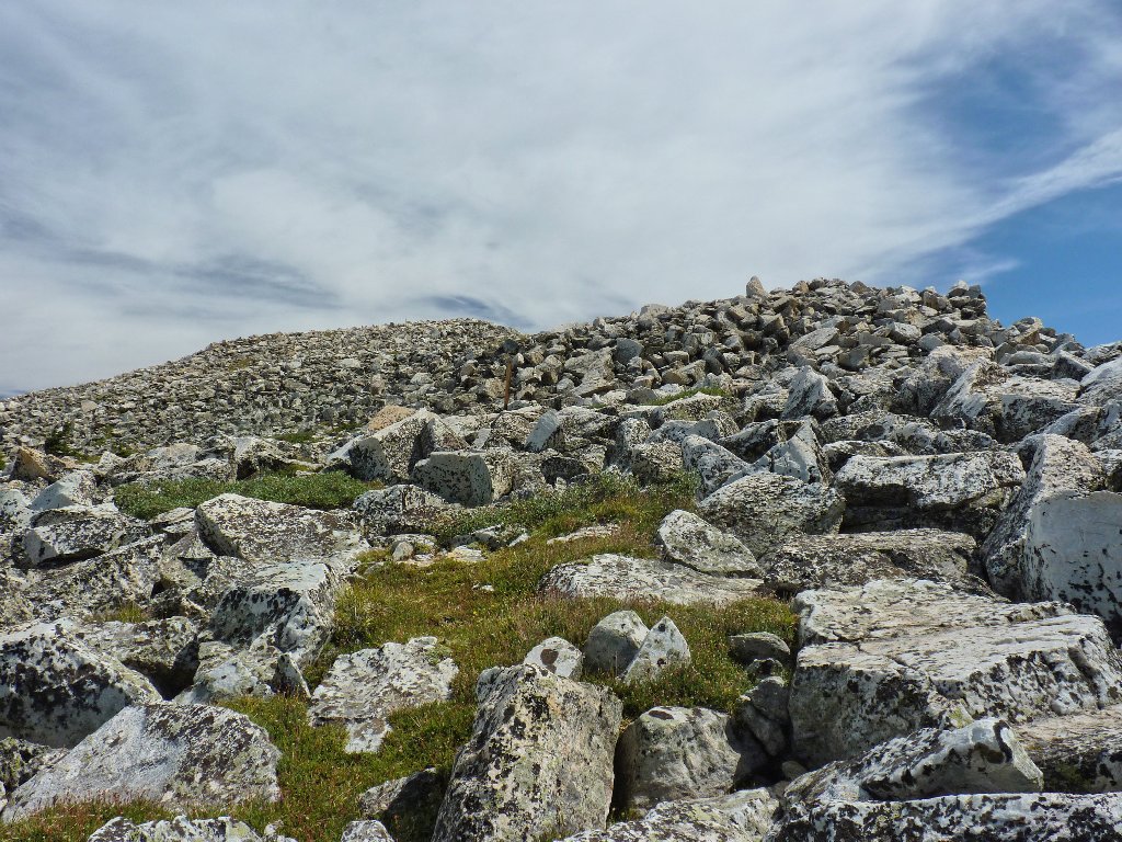
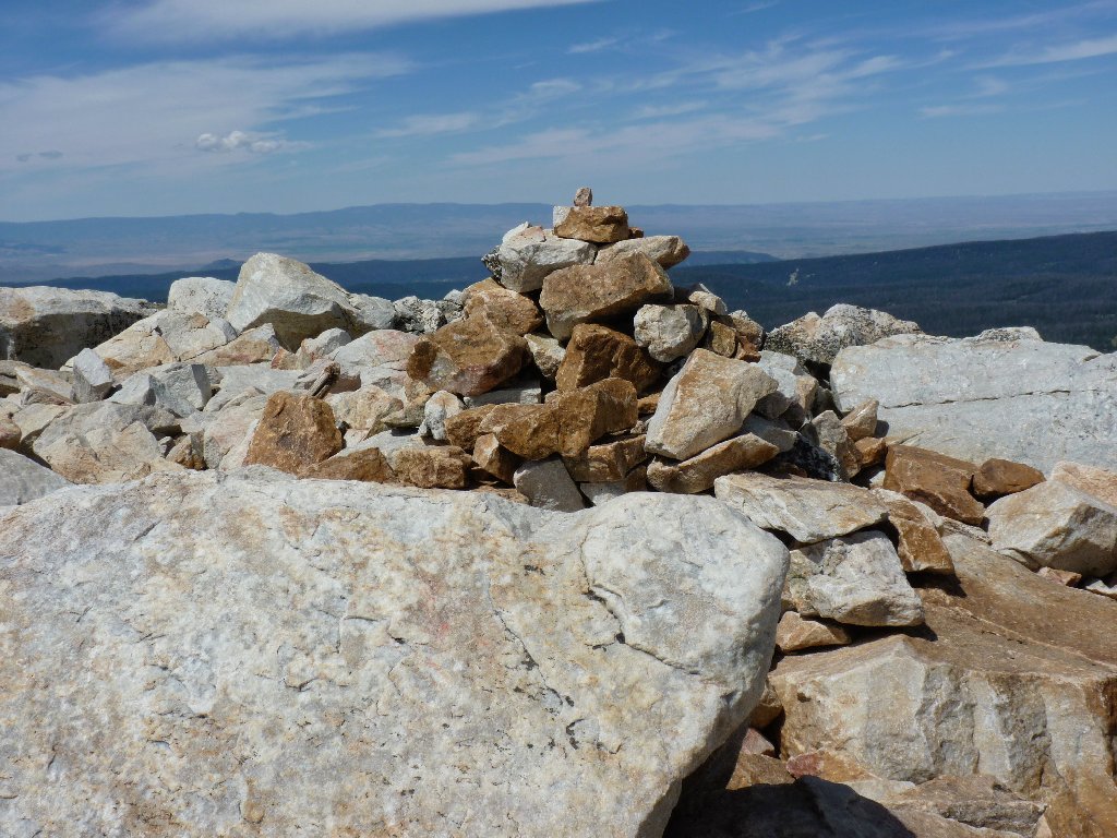
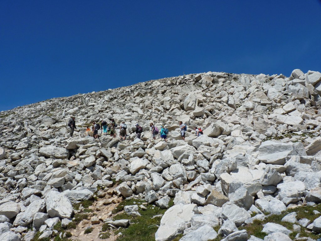
After bypassing several rock piles, I am compelled to traverse a big one.
The easy going couldn't last forever
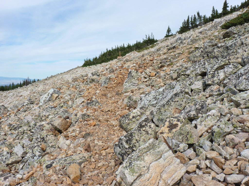
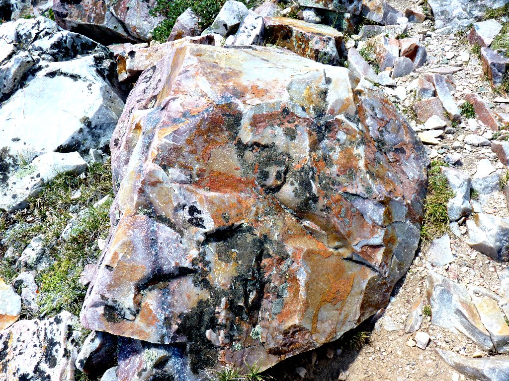
Off to the left is what looks like mounds of white sand, but in fact they are just more of this whitish rock. The Snowy Range seems to be a giant pile of quartzite.
Random rock piles
I had been mildly anxious about an injury sustained yesterday over
in northern Utah, where I stupidly fell over a sharp rock and tore a
foot-long gash in my calf and bumped my head as well.
None of that is bothering me at all, though; so I'll stop worrying about it.
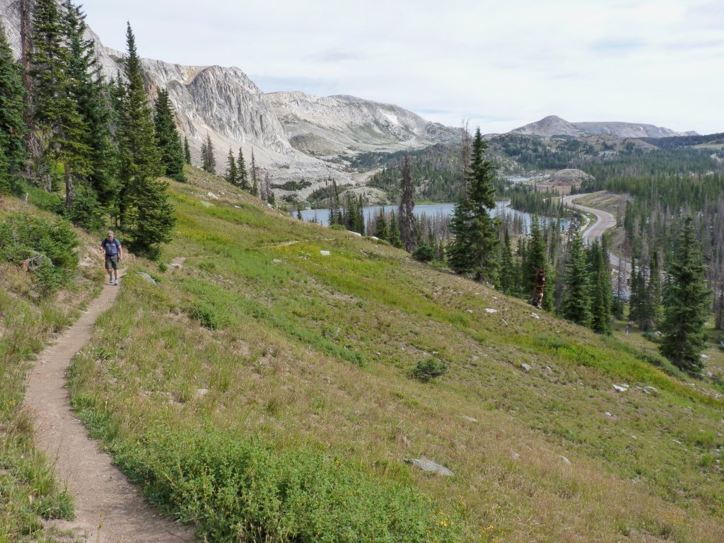
The trail and highway below
Plodding along
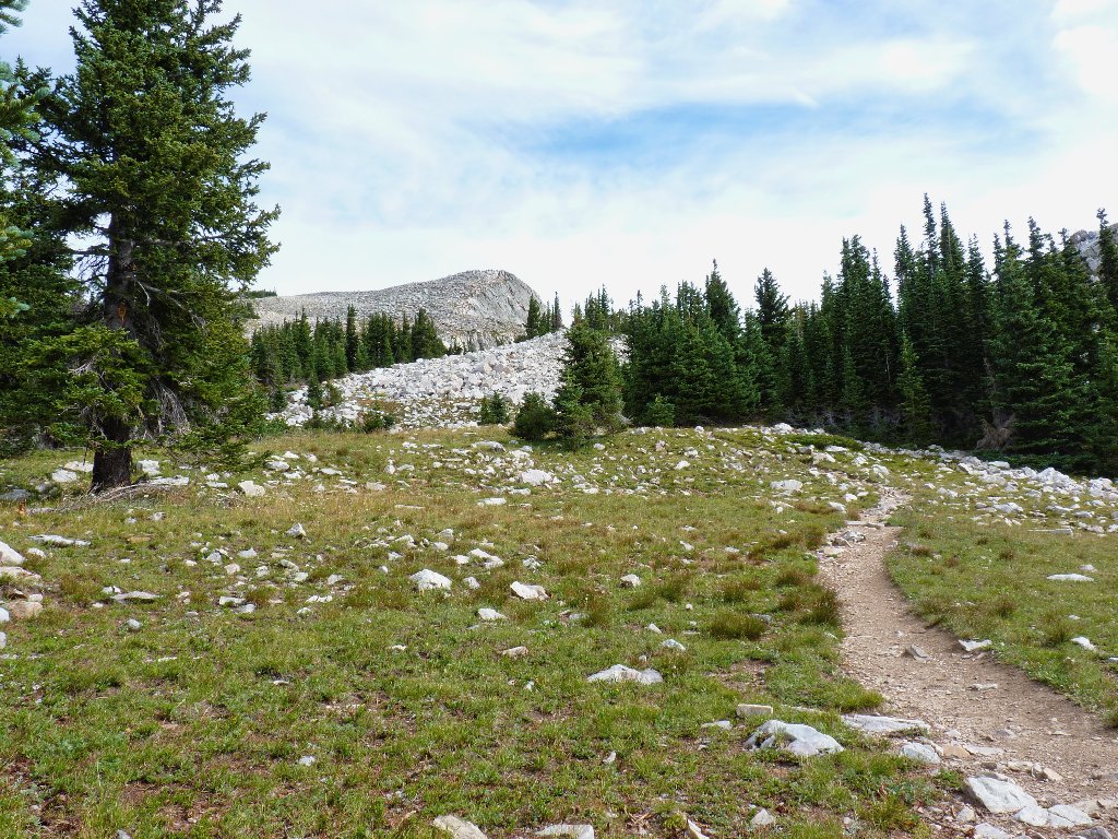
The gradient is leveling off now; and the trail is content to wind among the boulders, with nice grass growing prettily everywhere that it can. This landscape is most interesting.
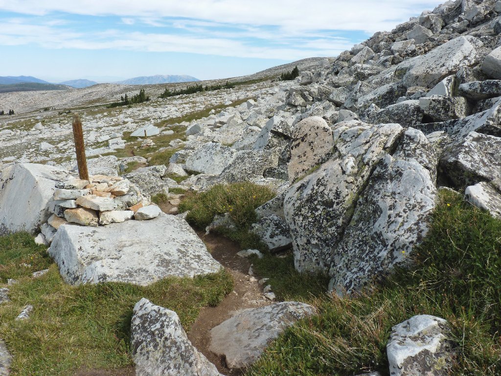
Taking the path of least resistance
No another human has been seen for more than an hour now. Being alone back here is somewhat eerie and is equally unexpected.
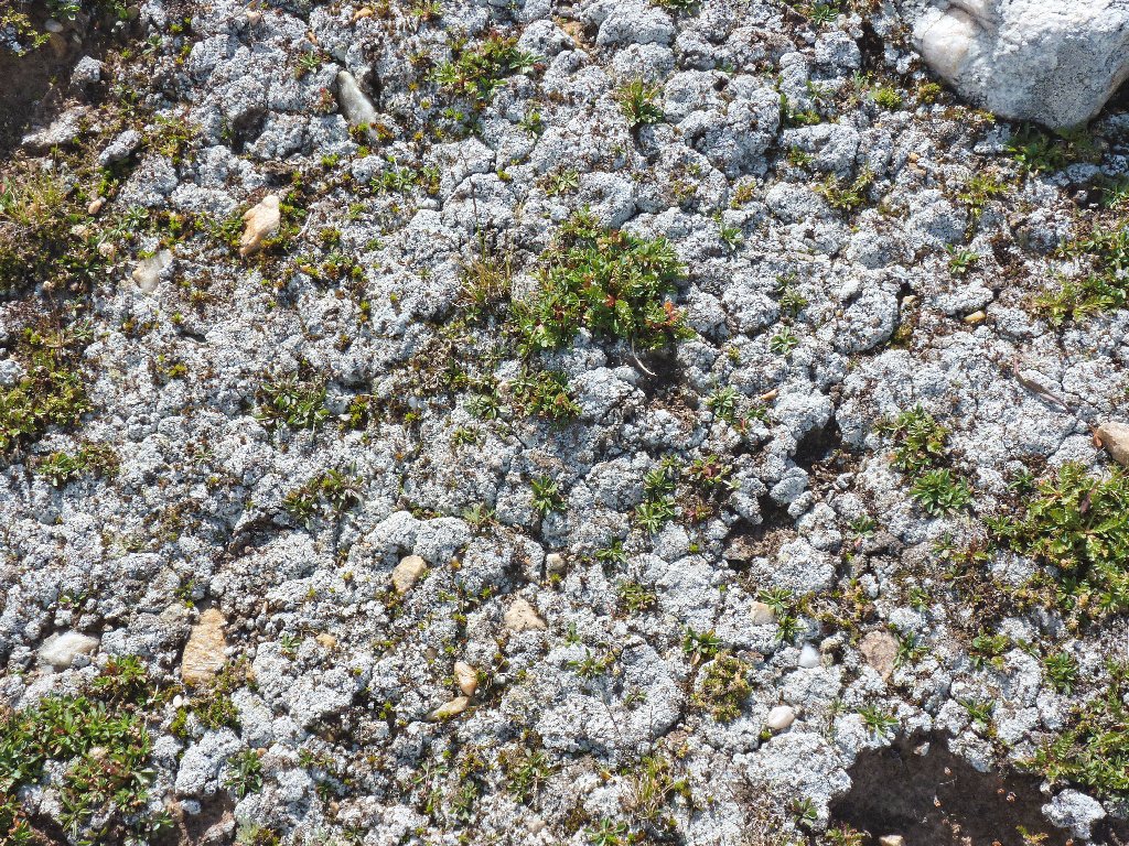
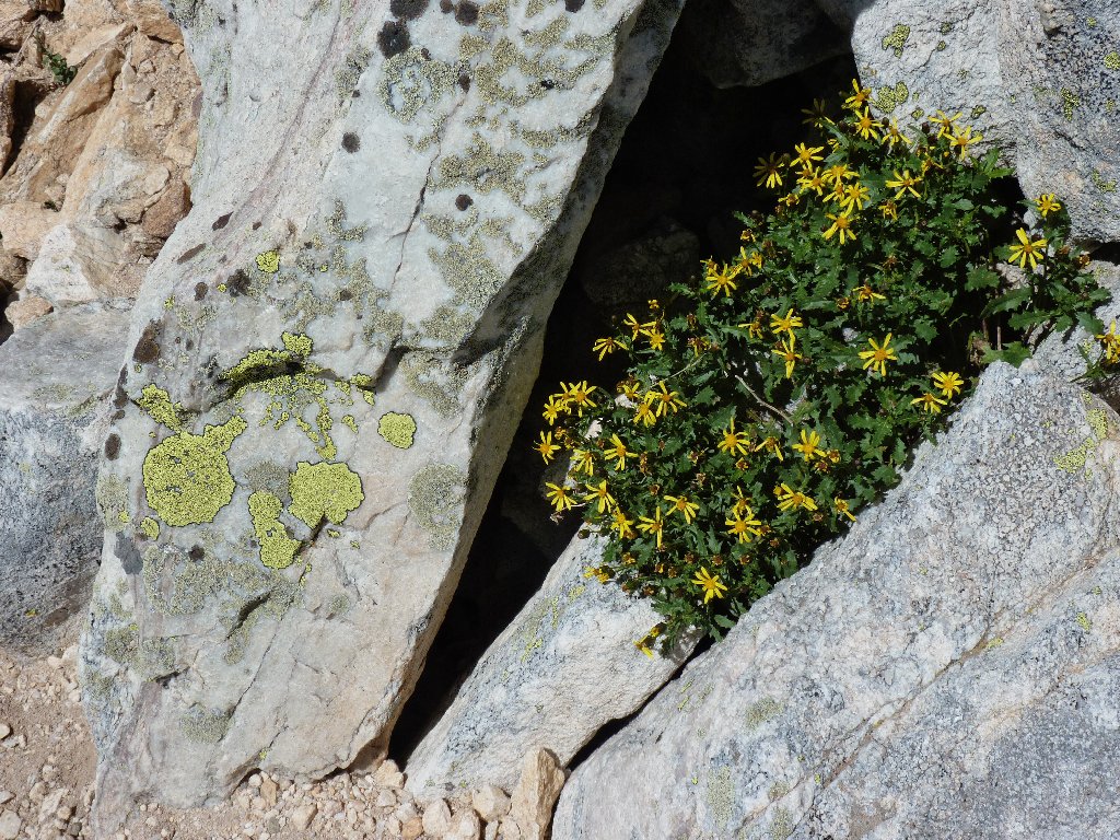
Those are flowers, not rocks
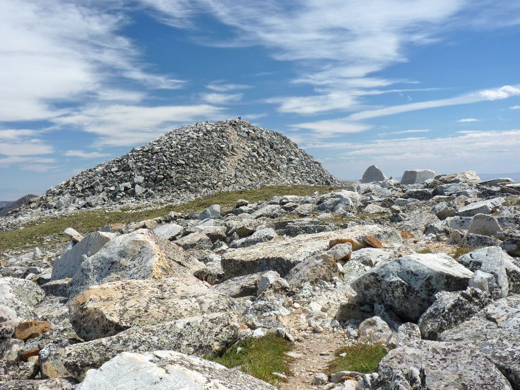
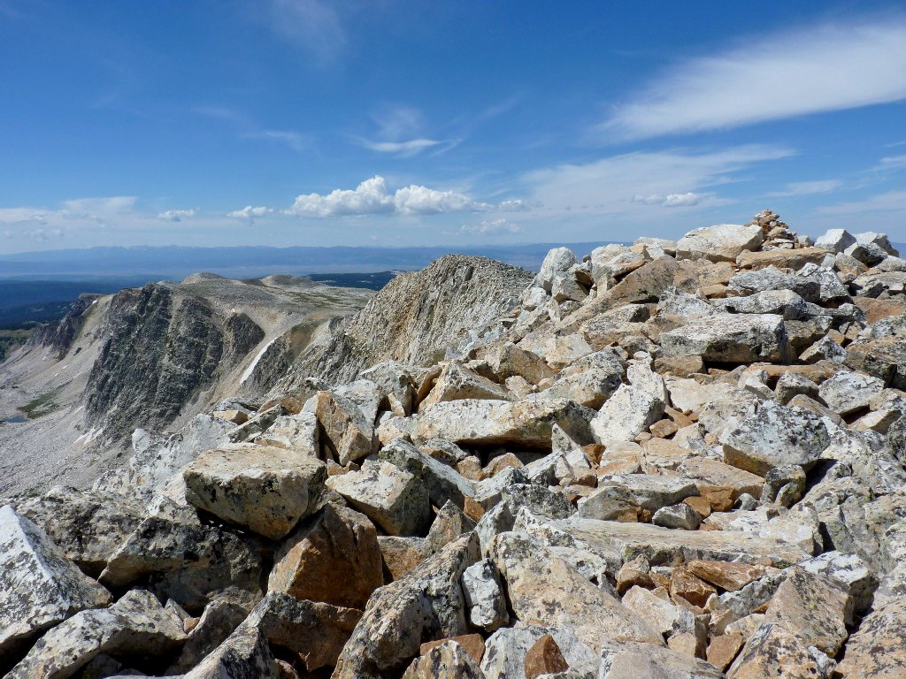
Eventually, something resembling a mountain top comes into view.
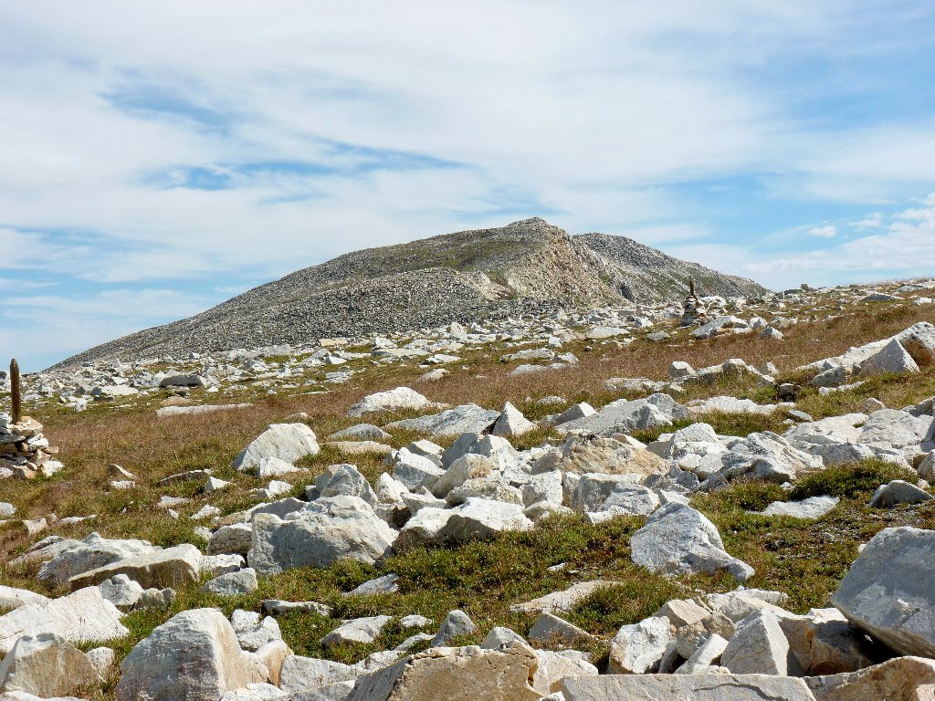
The objective is up there somewhere
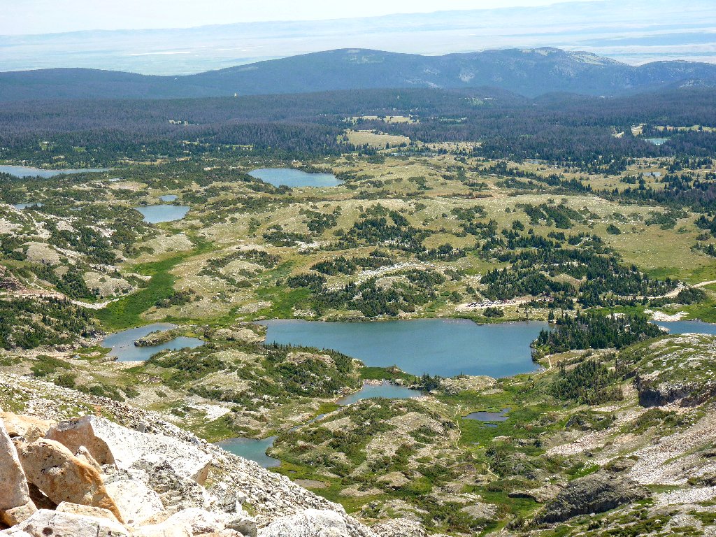
Several cute little pikas are scurrying about among the rocks, but none will hold still long enough for a photograph. In view to the west are several lakes, and I know that there are many others.
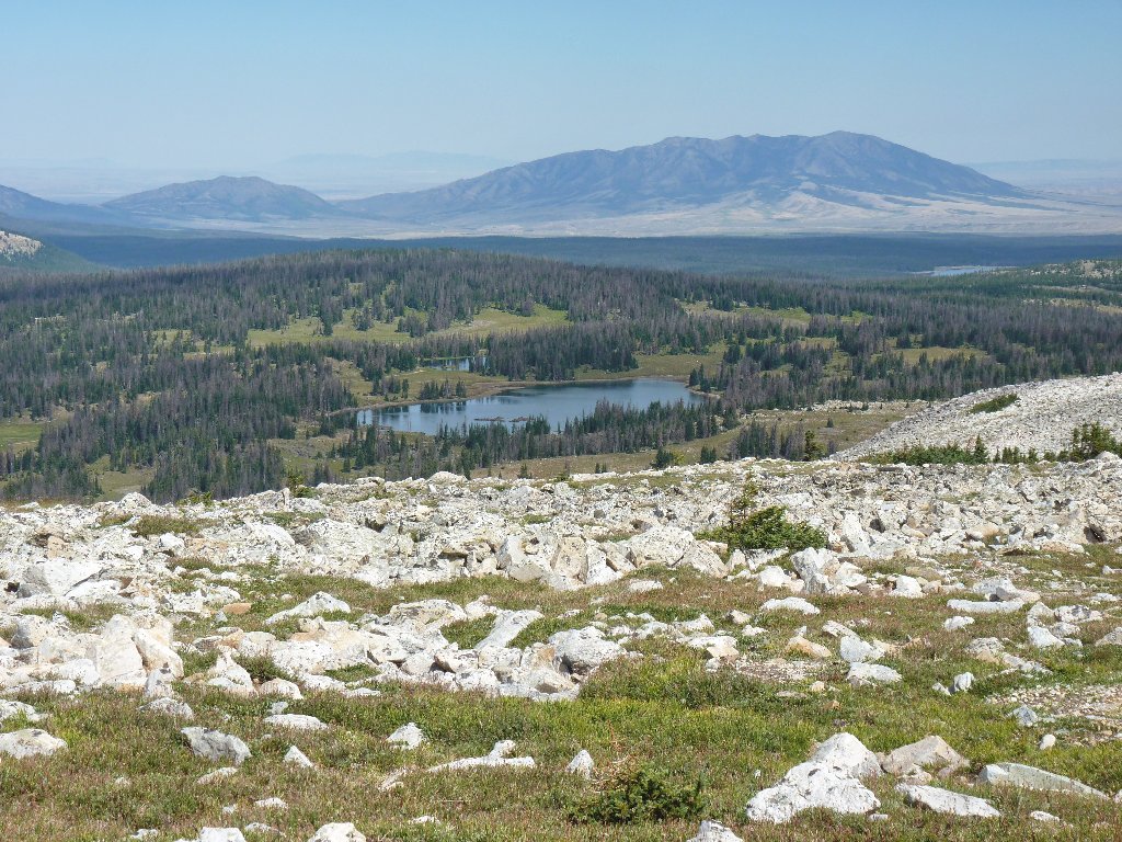
Heart Lake
Now, pairs of even taller posts are leading up the mountain side;
not knowing any better, I follow them. This proves to be a mistake,
because soon I find myself boulder-hopping to nowhere in particular.
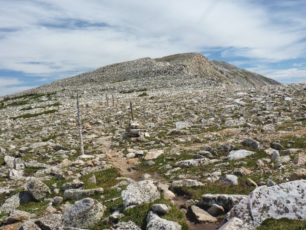
Following these poles was not a good plan
A virtual dead-end
I could grit my teeth and continue straight upward through the talus,
but my vast experience and keen insights tell me that these tall posts
exist for the benefit of cross-country skiers who don't care that
there are big rocks below the snow, and that I must have gotten off the
main trail without knowing it. Surely enough, a brief search locates
more of the now-welcome cairns, and soon I am back on the established
route. Even more welcome is a big sign at a trail junction indicating
how to proceed.
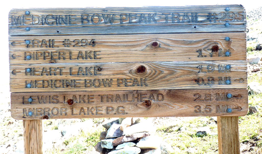
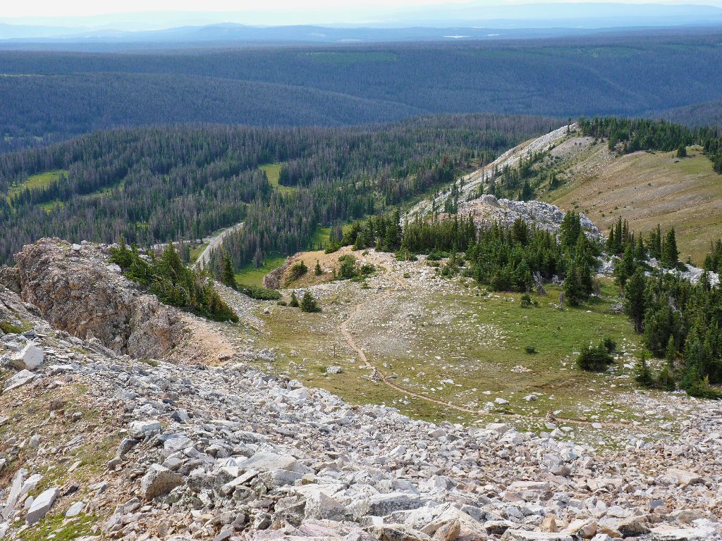
Less than a mile to go
Something is amiss here, though. My GPS, having been set at the trailhead to match the altimeter in the car, says that I have yet another thousand feet to climb. But in such a short distance? If so, then the upcoming grade will be rather brutal.
Did Moses pass through here recently?
As I surmount a short grade, my spirits soar; for suddenly the summit block appears, and it isn't much higher up at all! In fact, I am close enough to make out two men standing on top, almost within shouting distance.
It won't be long now
With a short scramble up the little hill, I am there, higher than I ever have been with a hiking pack. What a trip!
The summit of Medicine Bow Peak, 12014'
View to the west
Sugar Loaf Mountain to the north
It is a very rough and somewhat anxious scramble up here, so I'll not tarry. It is most fortunate that the breeze has abated; otherwise I would be in an even less comfortable situation. The two men I had spotted previously have disappeared, but now a few others are coming up from the opposite direction.
Not a human-friendly place
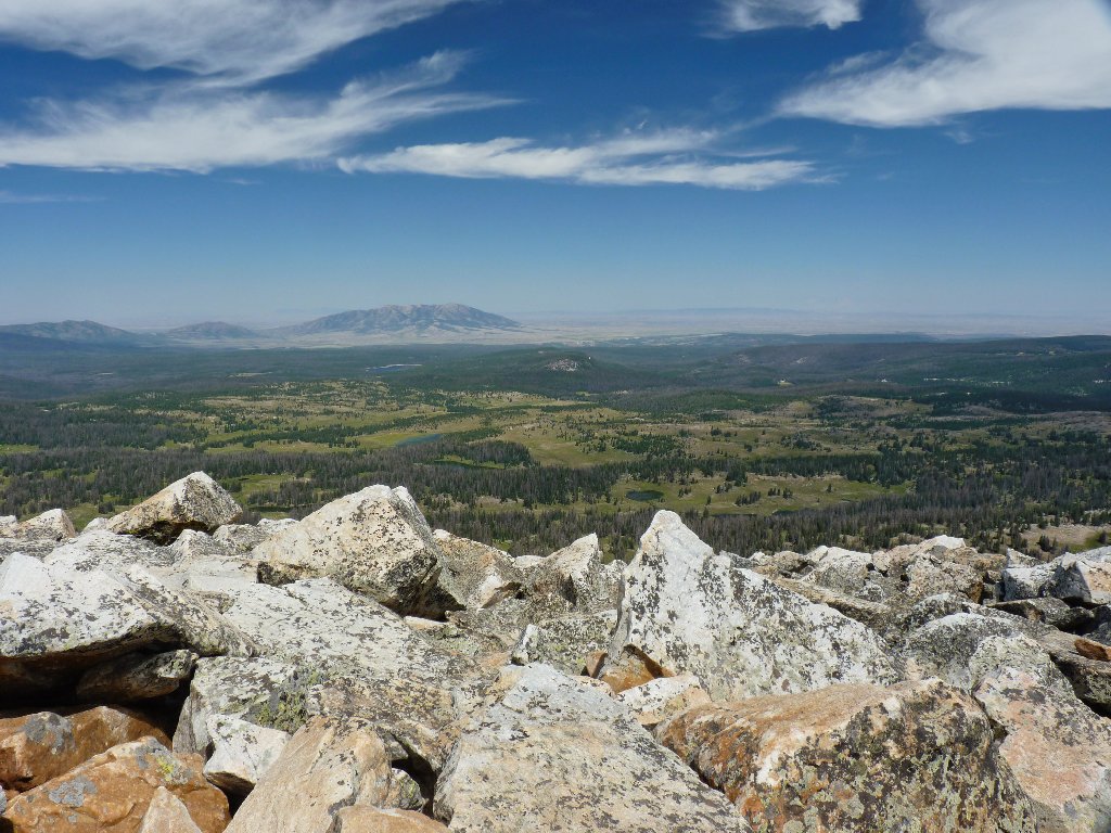
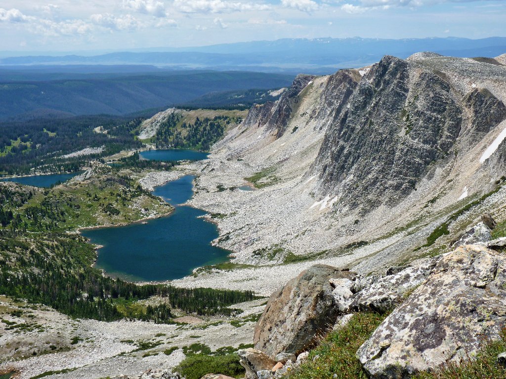
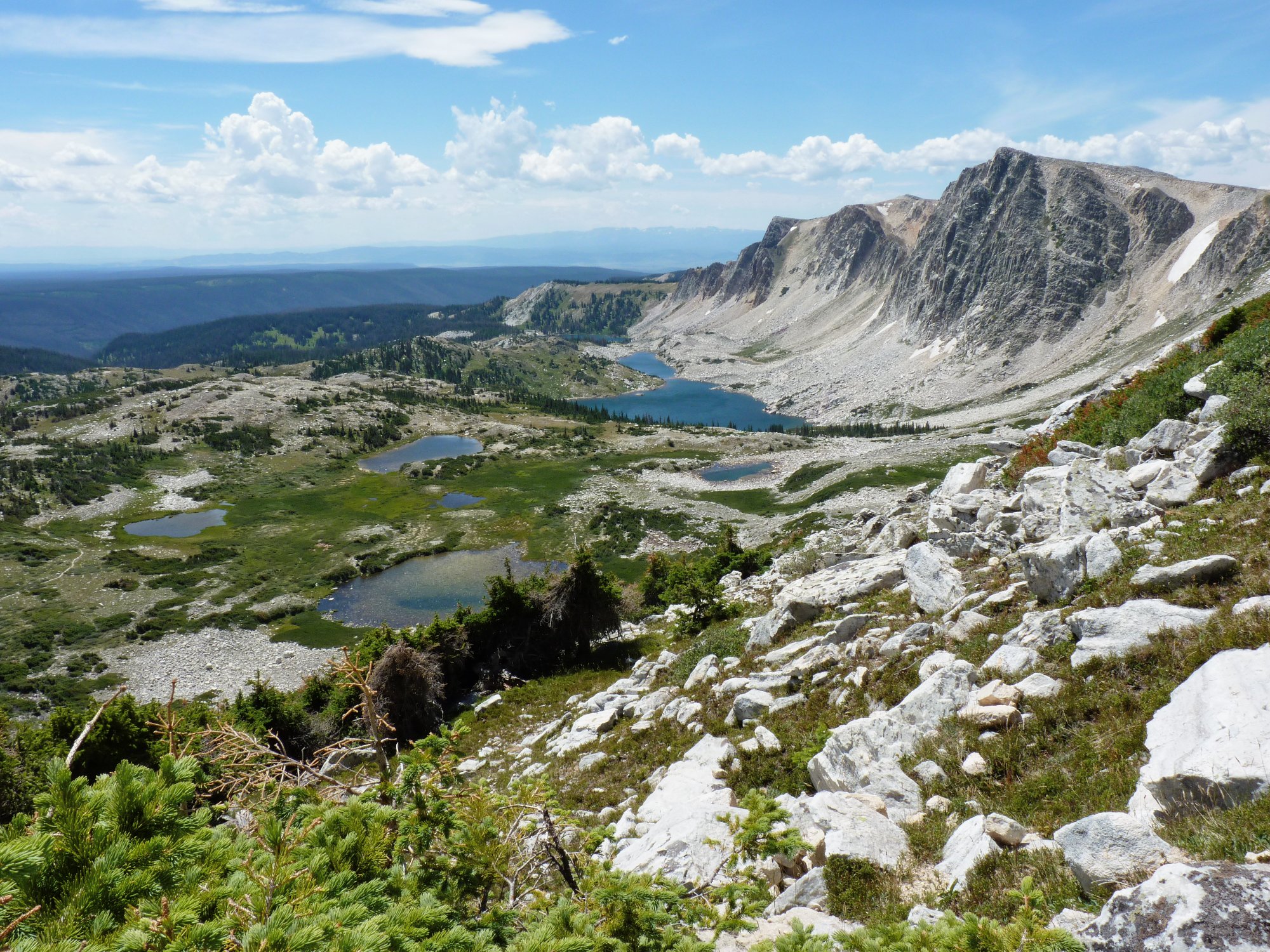
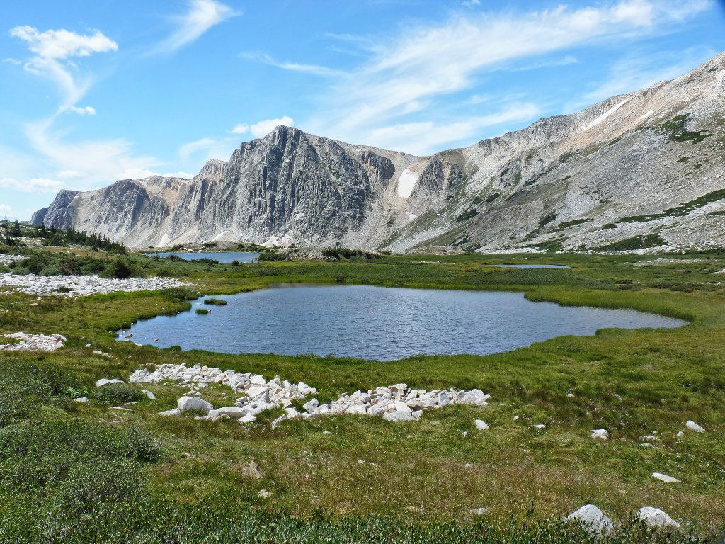
As I start down, an area to the east comes into view, sporting more lakes and ponds than I can count accurately.
Sugar Loaf Recreation Area
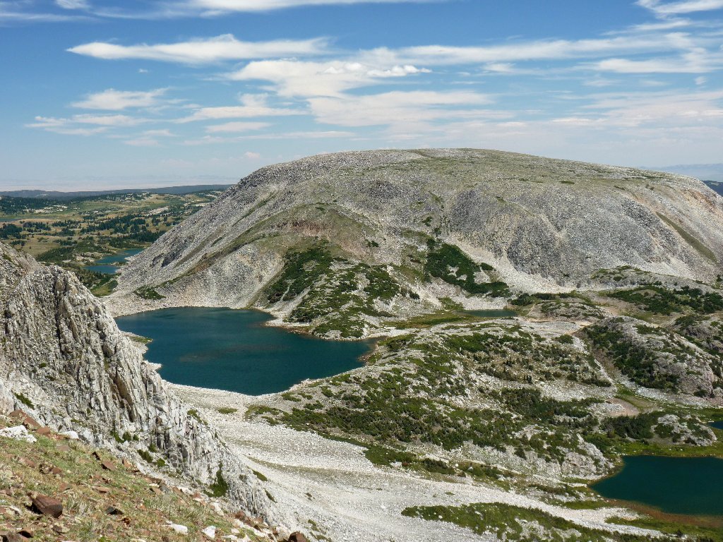
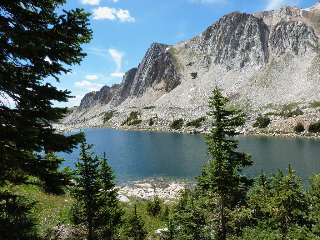
South Gap Lake and North Gap Lake hug Browns Peak, 11722'
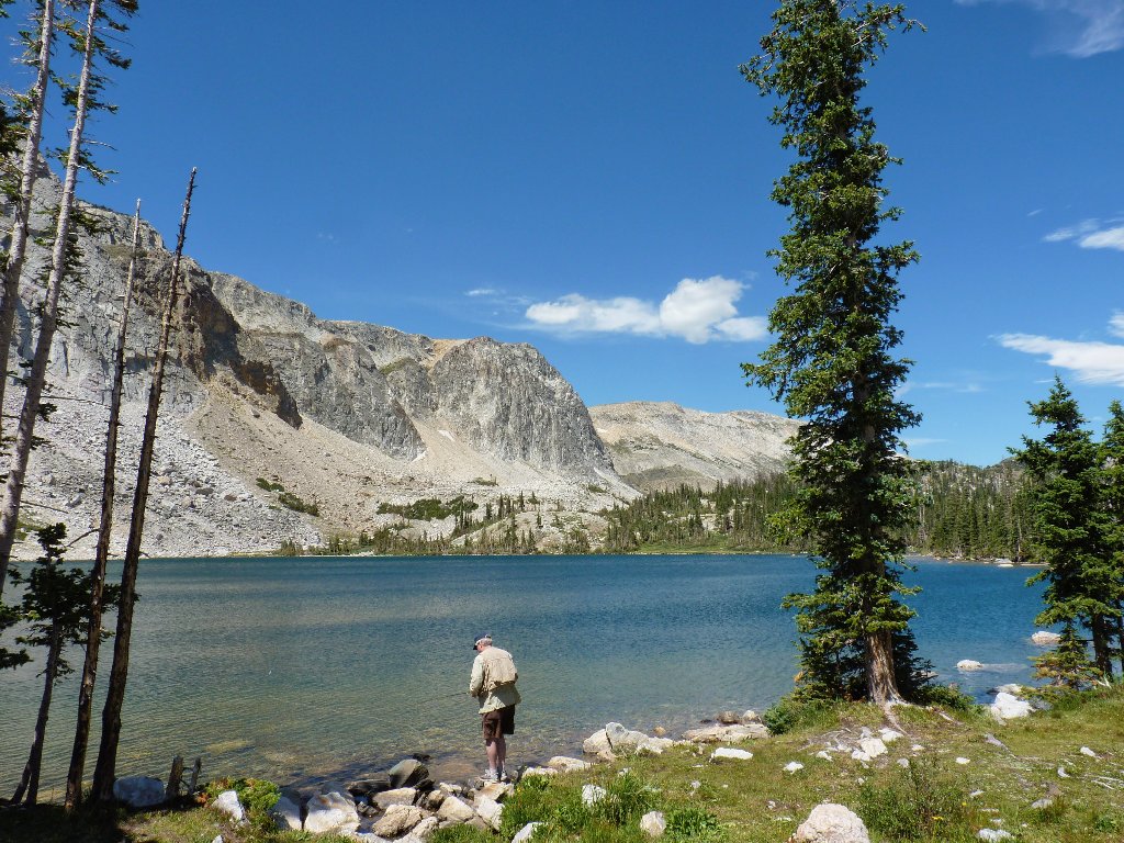
At the base of the big rock pile, a couple have decided not to torture their dog on the risky talus; so they take turns scaling the summit block alone. While he is waiting, the man volunteers to take my photo.
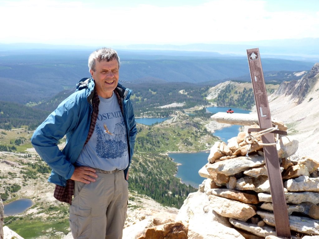
A happy guy
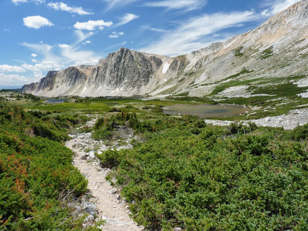
Now it is gravy-time — time to turn my attention southward to a
scene of knee-buckling beauty. Oh, my!
Words fail me
Directly below, the trail skirts a pair of ponds. The scene appears almost surreal.
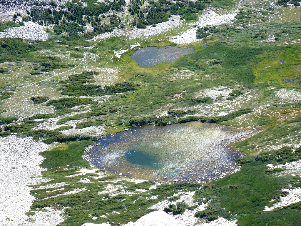
Amazing landscape
With the lighting changed a bit
The downhill path is predictably steep and rough; but because it is the shortest route to the summit, it is far more popular than my own choice.
Enduring a grueling climb. Suckers!
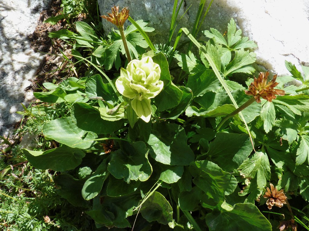
Arrowleaf Ragwort
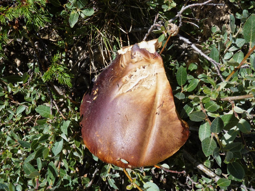
Weeping Bolete fungus
I find the view to be even better a little way down the grade:
This is why I go hiking ⇔
My descent is complicated by the proliferation of quartzite. Although the rocks are strikingly beautiful, they also are smooth and slick. Extra care must be taken with each downward step to prevent slipping.

Pretty rocks everywhere
A last glance at the high point
Reaching the bottom of the slope begets a sigh of relief. The hard stuff is over. Now I and my camera can concentrate more on the scenery than on the rigors of the trail.
It still is a long walk to the car
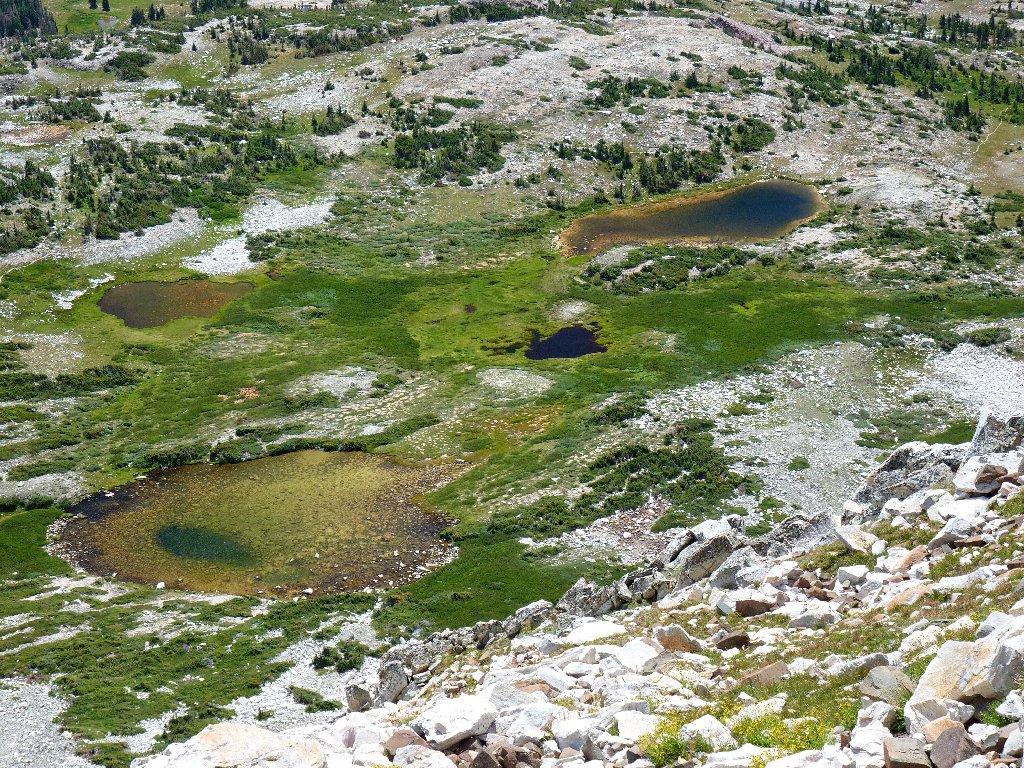
Just a few hundred feet of travel can change the scene:
One of the surreal ponds
Around each corner is another lake in the chain. Viewing the
expanse of peaks and cliffs, and knowing that I just hiked completely
around them, imparts feelings of accomplishment. Right now,
this is a feel-good place in more ways than one.
Lookout Lake and Old Man, 11755'
This next great view was unanticipated:
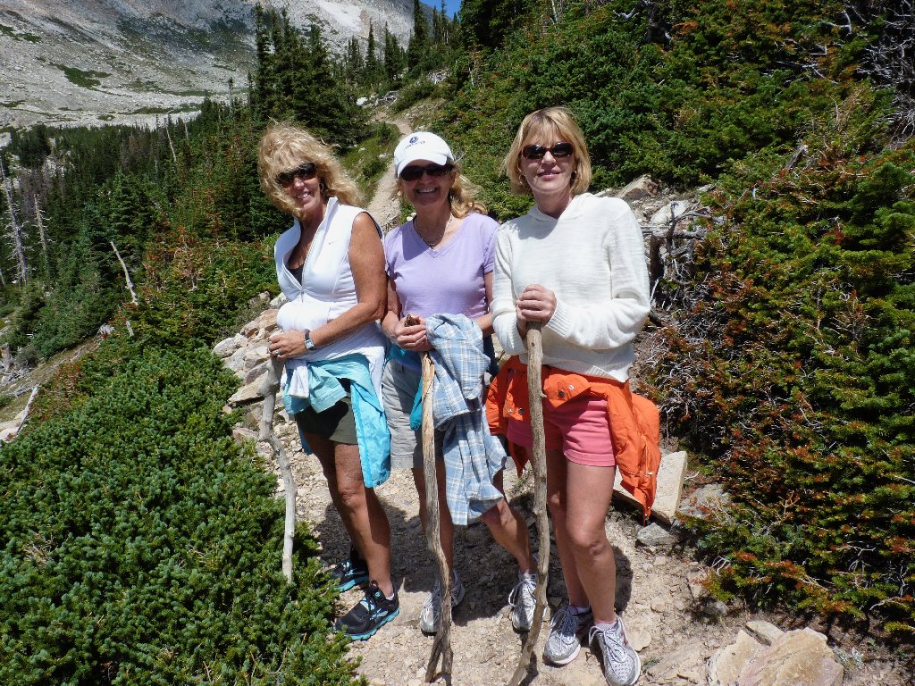
Sharon, Donna, and Vicky from Virginia Beach, Virginia
Sorry, Donna; I should have noticed that your hat was obscuring the view.
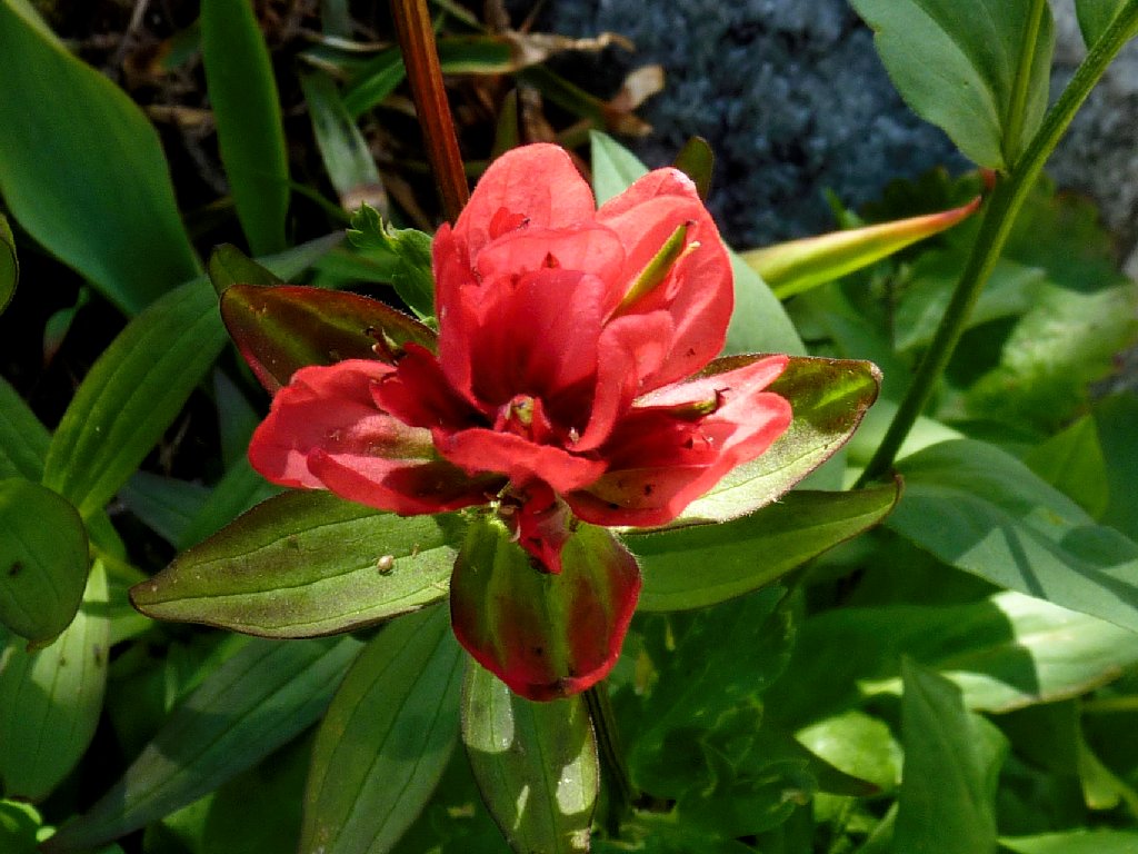
Giant Red Indian Paintbrush
Western Indian Paintbrush
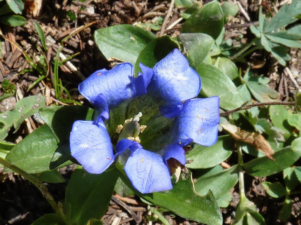
Mountain Bog Gentian
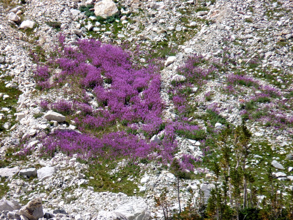
Fireweed on the talus slope
The Diamond, 11720'
A parking lot is coming into view. Could I be finished already? No, my car is nowhere to be seen. This is not the right place. Continuing westward, expecting to pick up a trail, instead I run into a corner of Marie Lake, which must be circumvented. After following a use trail to the left, eventually a little slope provides access to an unexpected but welcome paved path alongside the highway.
This water is in the way
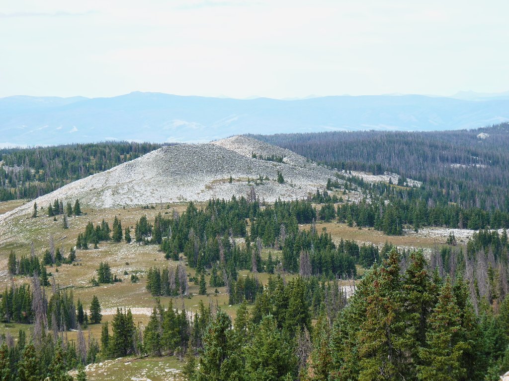
Heading toward Schoolhouse Rock, 11440'
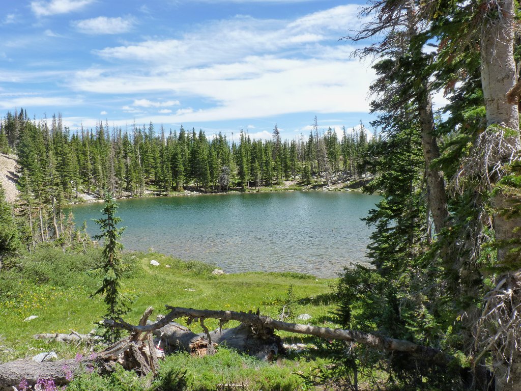
Within ten minutes I reach the far end of Marie Lake. Just behind it is the trailhead.
Marie Lake, at the end of the line
§: What a grand day this was! Exploring one of the
nation's premier hiking venues, almost hidden above an otherwise
unappealing arid landscape, was a real treat. Everything about
this walk was exhilarating.
I cannot recommend the complete loop more highly, and ideally it
would be done clockwise, as I did. That way, the brutal uphill
climb is avoided, the backside portion of the trek does not become just
a get-back-down slog, and all the best scenery is saved for last.
| Scenery |  |
| Difficulty |  |
| Personality |  |
| Adventure |  |
| Solitude | |
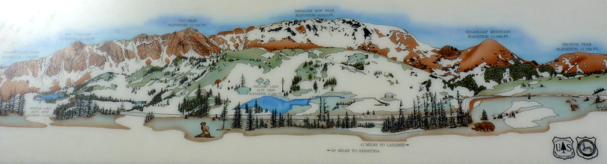
A display at the highway overlook ⇔

ADDENDUM
Lookout Lake harbors the remains of United Air Lines
Flight 409, which crashed on October 6, 1955 while enroute from
Denver to Salt Lake City. The pilot, familiar with the route, attempted
to shortcut over the mountain, but missed by 75 feet. All
66 persons on board perished, making this the deadliest commercial
American airline disaster to that time. Much information about this
incident is available online.
