
Ansel Adams Wilderness
|
San Joaquin Ridge Ansel Adams Wilderness |
July 27, 2012
Needing to find a walk on my way home from Bishop, I will check out a
less-visited area just north of Mammoth Lakes. It is but a short
drive up past the big ski complex to Minaret Summit, where the road is gated.
In modern times, only shuttle buses can go from here down into Agnew Meadows
and Devils Postpile.
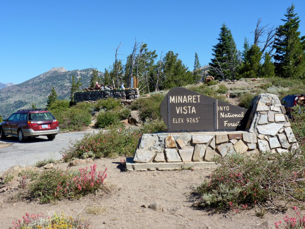
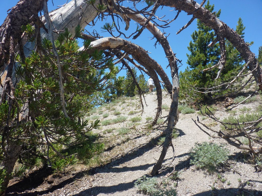
The start of the presumed trailhead
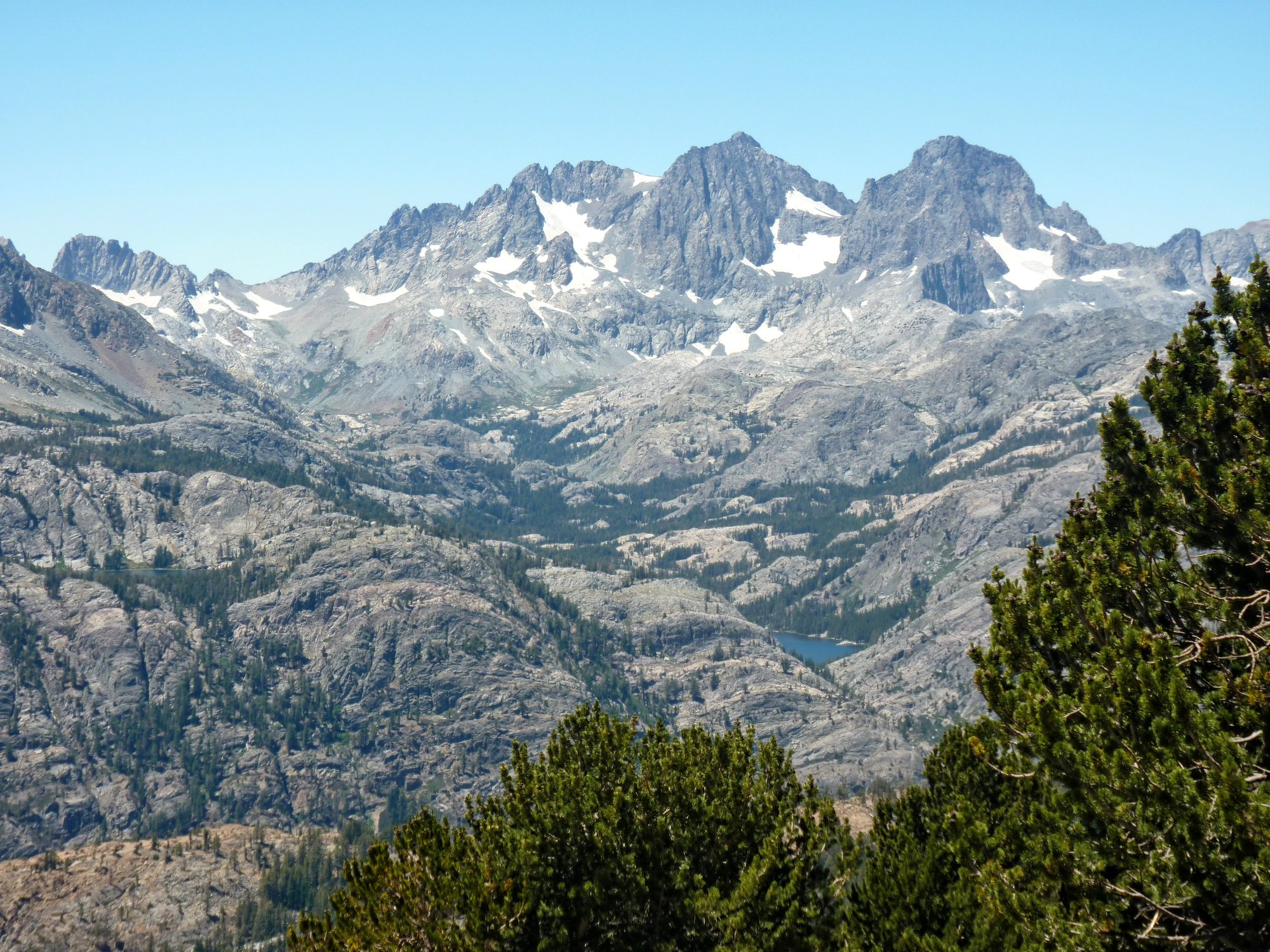
The short spur route over here does indeed provide a grand view:
Mount Ritter and The Minarets dominate the Ansel Adams Wilderness
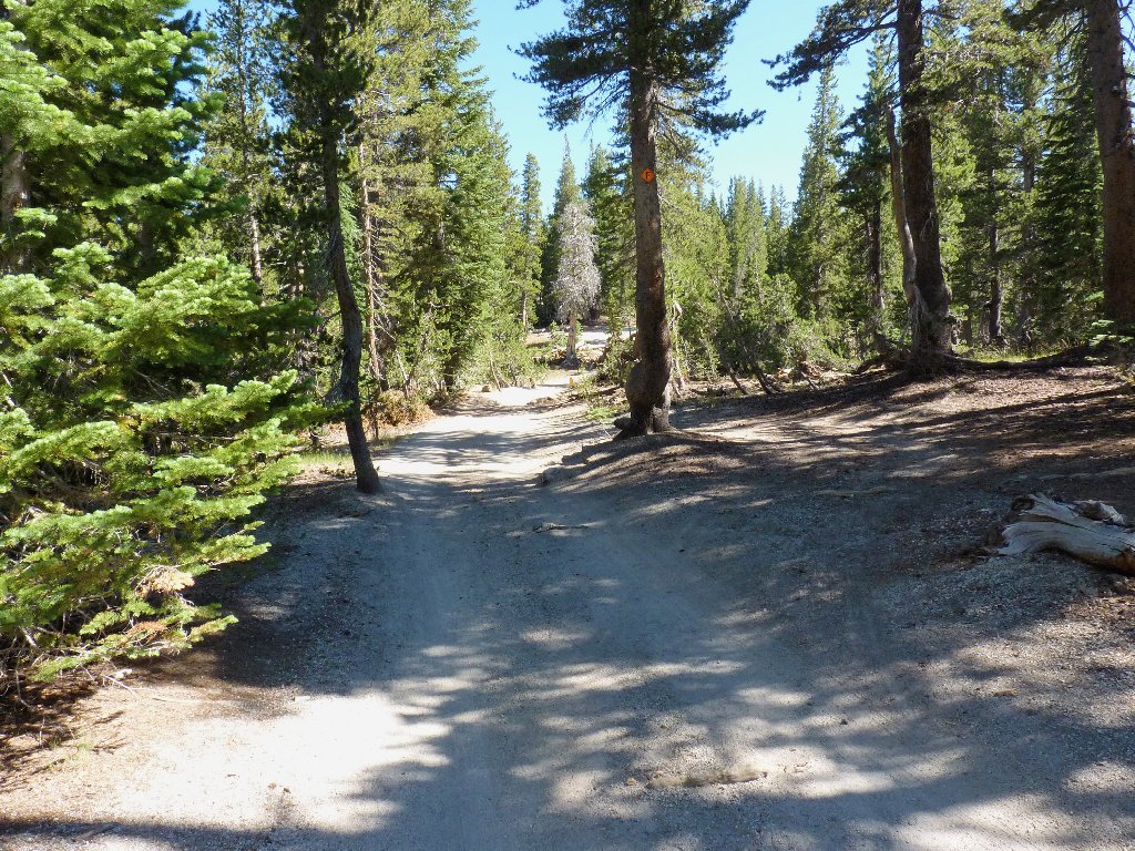
My walk starts on a single-track bike route. Not far
up the way, however, I run into a road that appears to be fairly
well-used. Why aren't I driving on it instead?
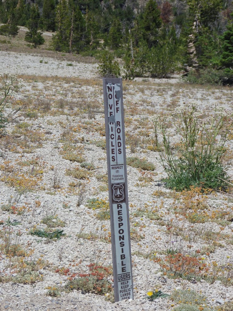
There are plenty of tire tracks
Indications are that this route is indeed available for general use, so I head
back to the parking lot. Backtracking on the entrance road, I find the desired
two-track near the junction with the main highway.
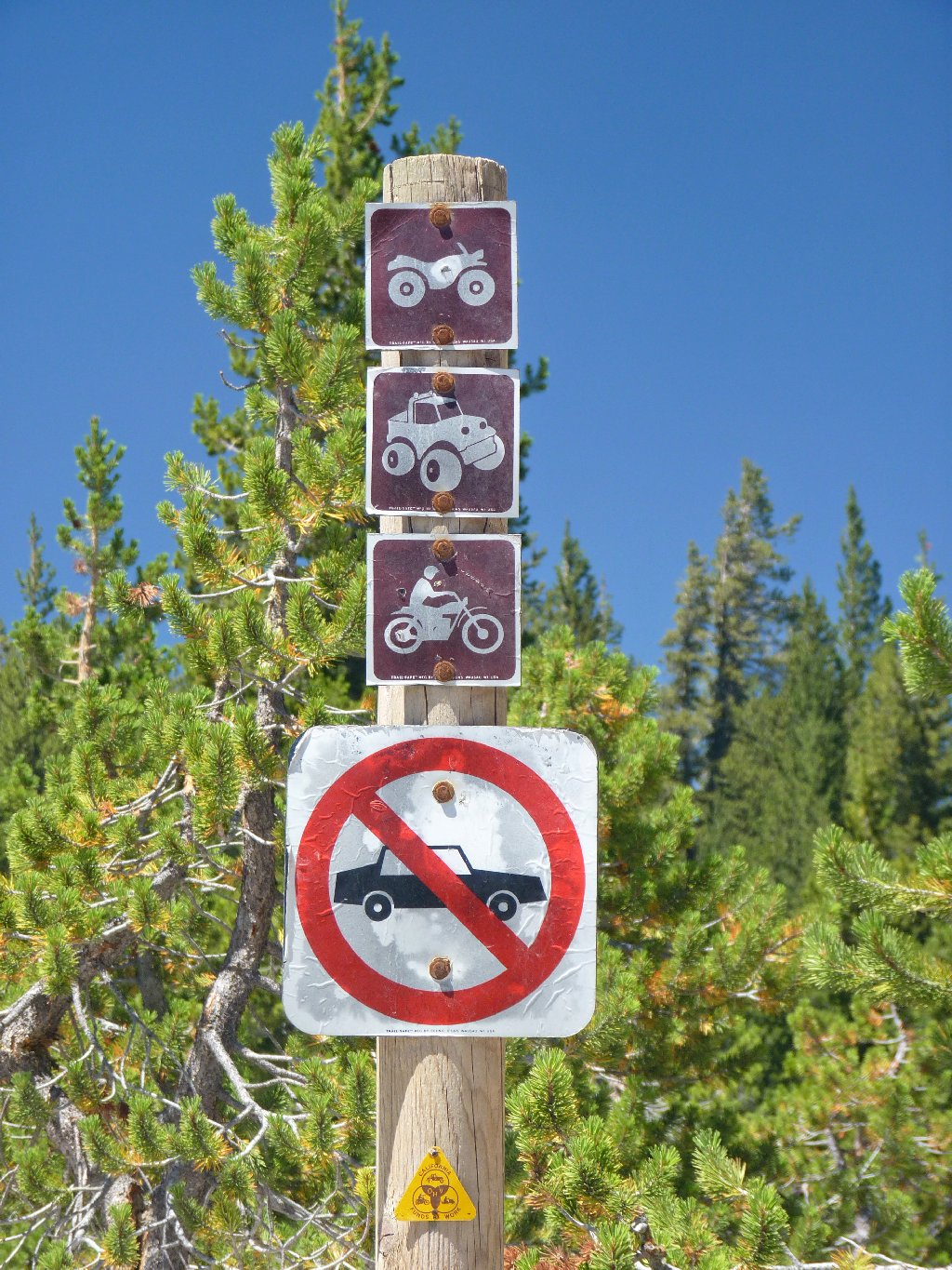
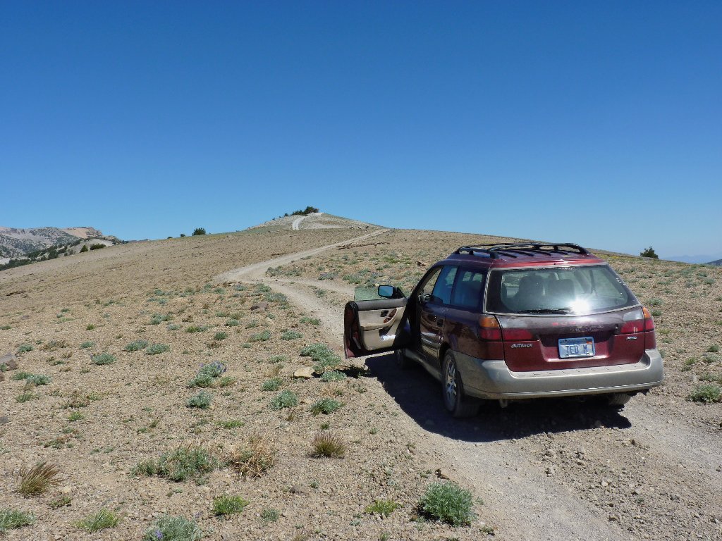
I don't have a 'car'. I have an Outback!
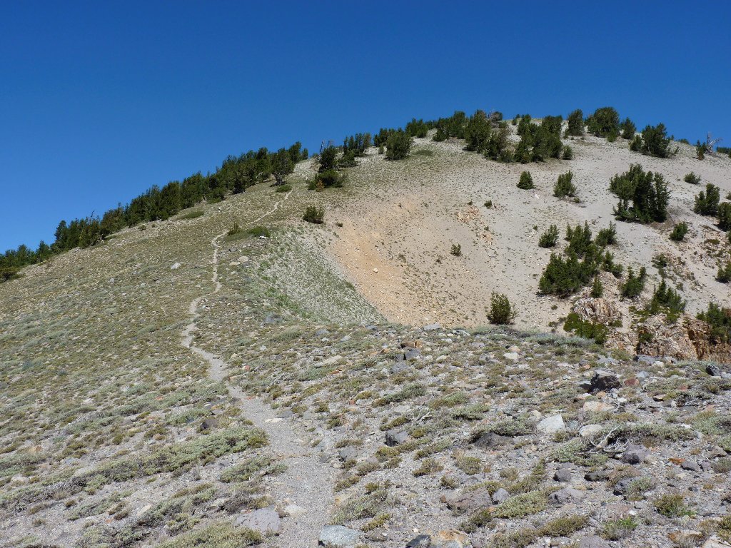
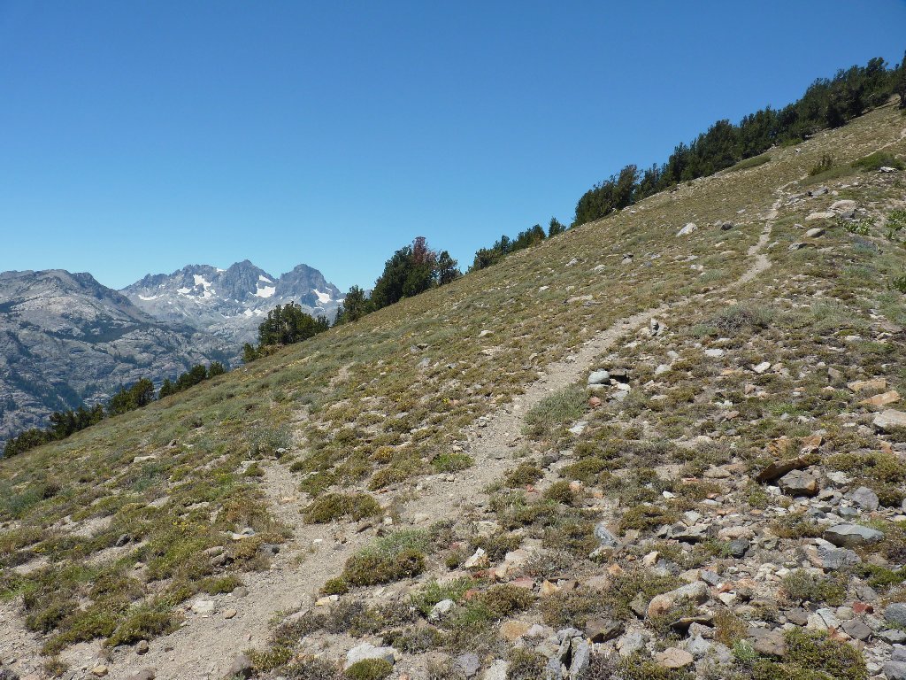
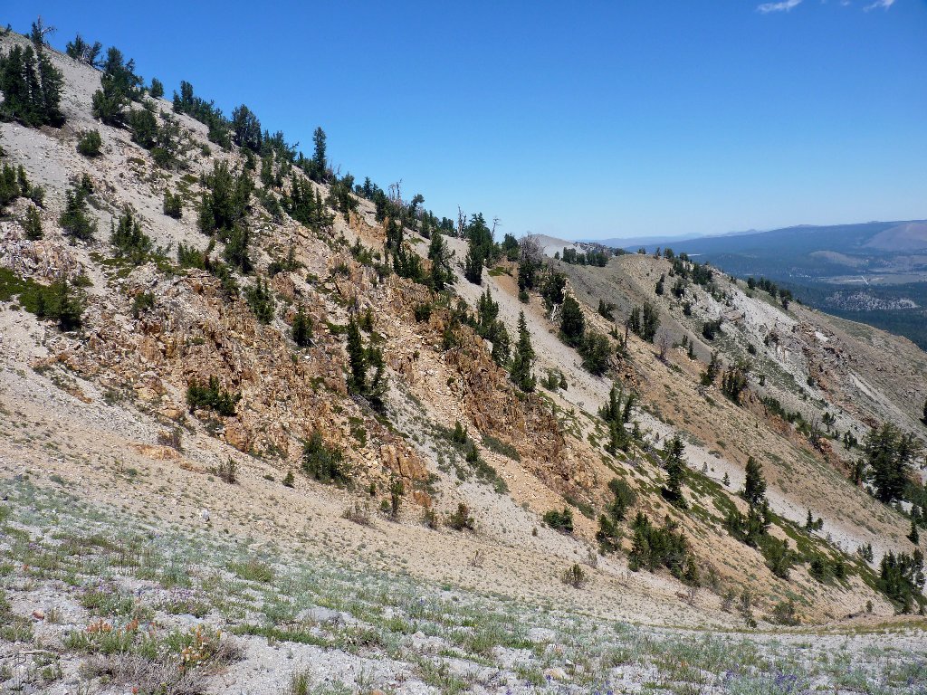
After meandering through the forest for a bit, the route emerges onto the ridge above treeline. Bikers call this the Hard Rock Trail, perhaps because it gains a thousand feet in just two and a half miles.
I wouldn't have wanted to walk up this section
Looking back at some Mammmoth Mountain ski runs
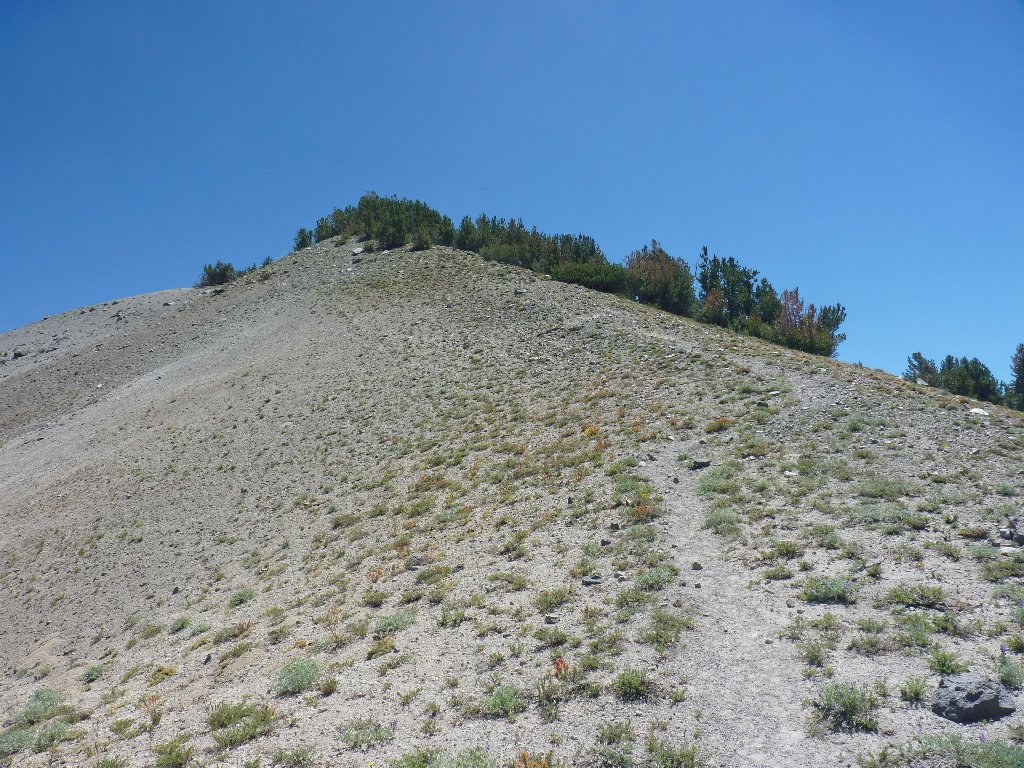
The road ends abruptly at a high-point on the
ridge — a most unusual configuration.

At the trailhead ⇔
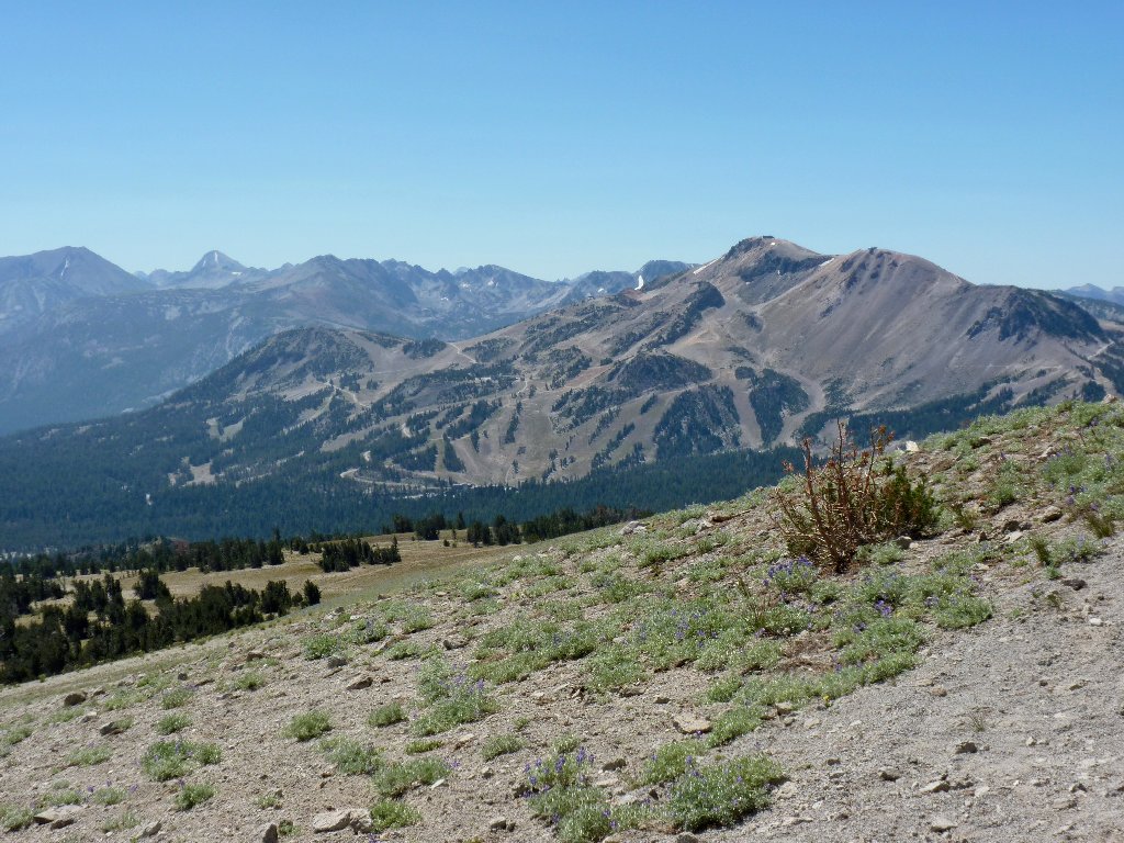
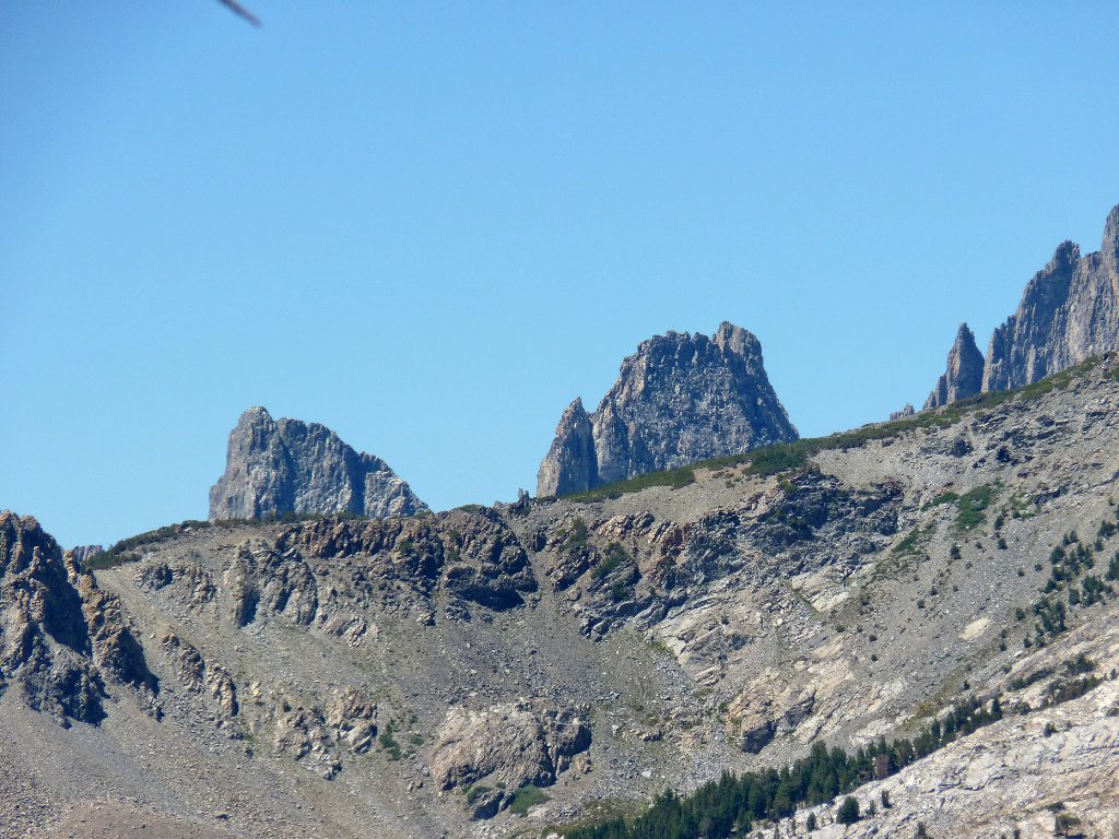
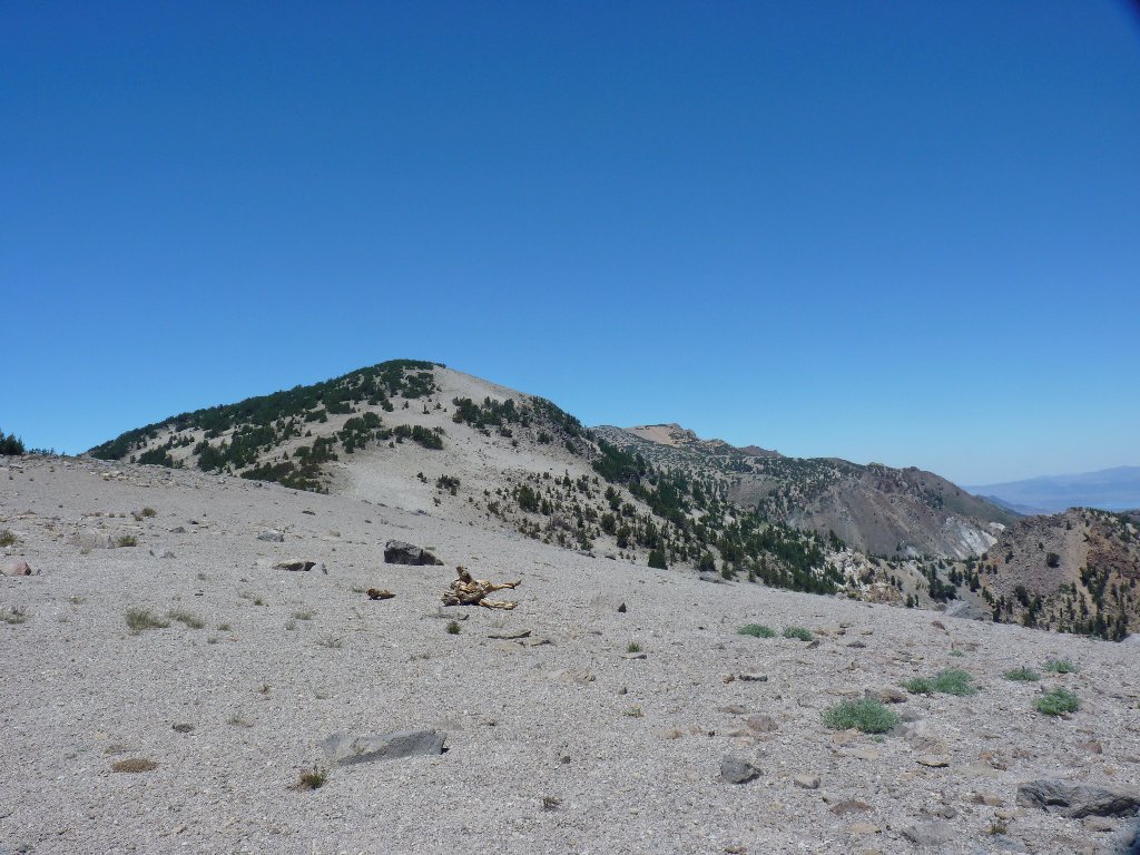
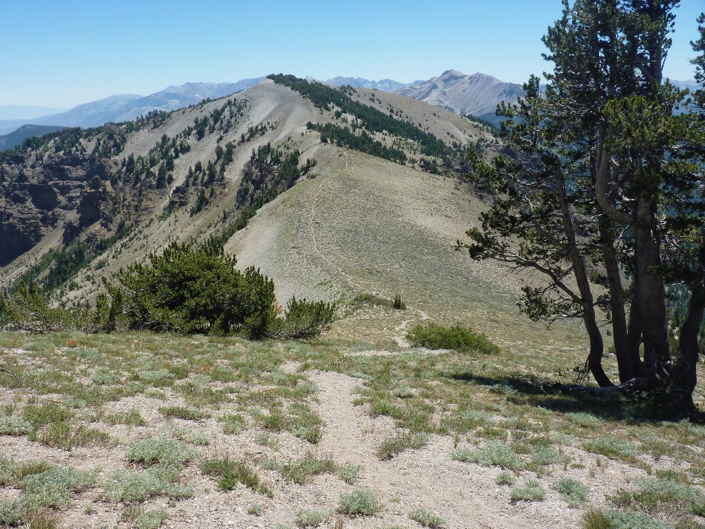
Atop the ridge in the distance are San Joaquin Mountain
and the Two Teats (see Addendum), so-named for the
obvious reason. I don't know whether I'll get up that
far, having no set itinerary. This San Joaquin Ridge
represents the eastern boundary of the Ansel Adams Wilderness,
so I presume that I'll be spending most of my time inside it.
To start off, I must descend to Deadman Pass, also named for the obvious reason. Then the climbing begins in earnest.
Nowhere to go but up
Shortly up this steep slope, I encounter a spur trail veering off to the left. Because it leads toward the most scenic stuff, I take it; or at least, that's my excuse.
Taking the path of least resistance
This route is little-used, but that adds to the fun.
Going wherever the path takes me
About a mile down the way is a verdant area featuring a number of springs. This is a good place to stop for a snack break.
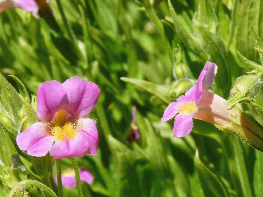
The garden is dominated by Giant Monkeyflowers
Out of sight below, yet nearby, are both the Middle Fork
San Joaquin River and the Pacific Crest Trail. Across
the way is a lake with a spectacular cliff-side setting.

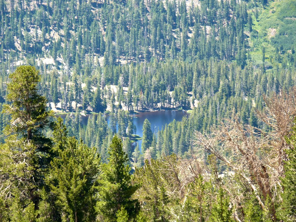
Rosalie Lake
The John Muir Trail, having temporarily split from the PCT upstream, skirts that lake. I really must visit it sometime.
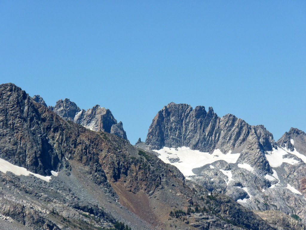
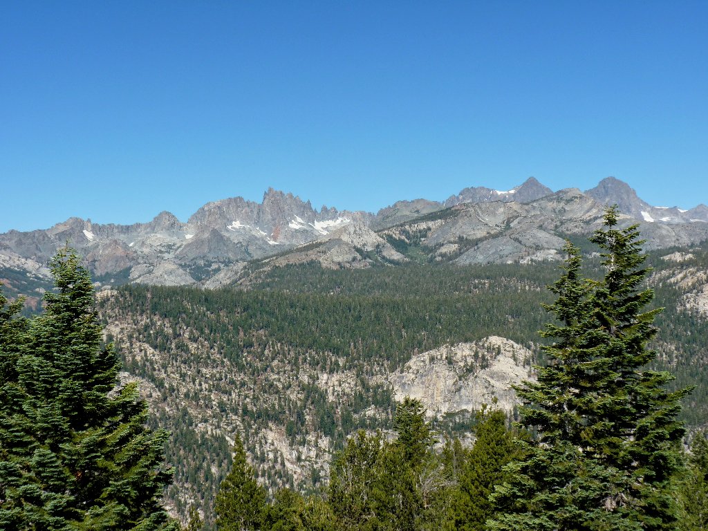
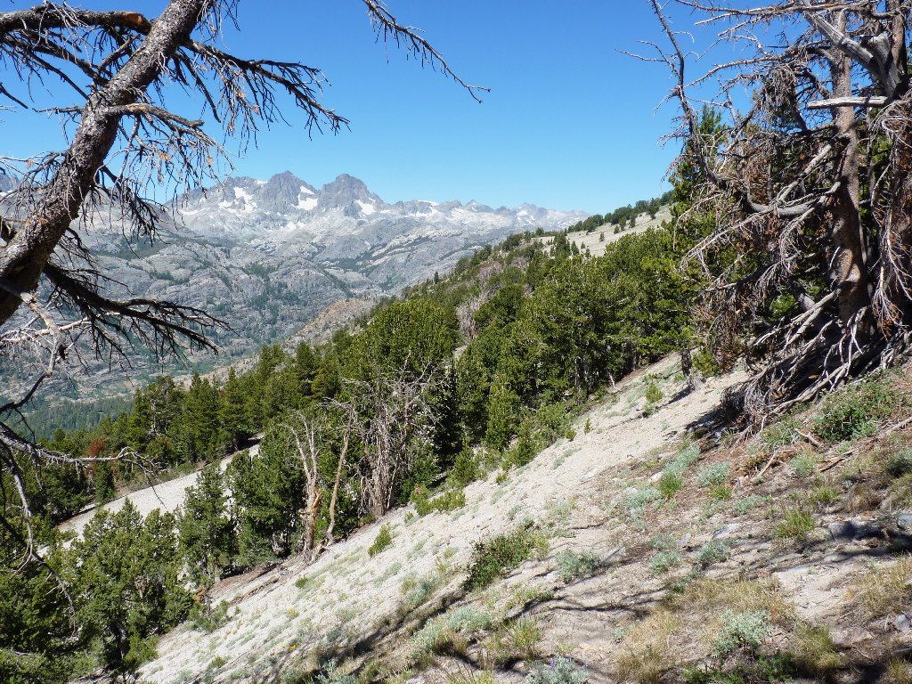
Minarets close-ups
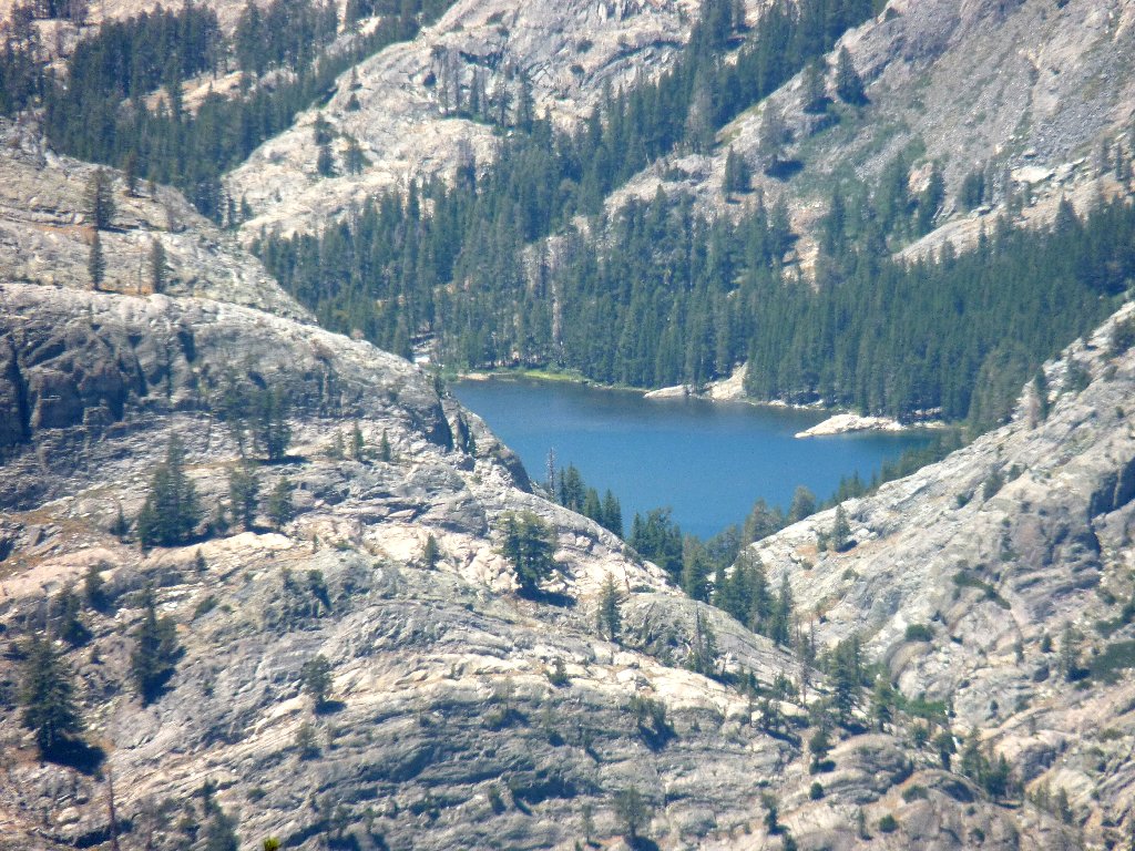
This is a great place from which to view the Minarets amphitheater. Out of view and well above the barely visible Shadow Lake is Ediza Lake, which has long been on my bucket list.
A day-hike to Shadow Lake is doable,
but Ediza might be a bit far ⇔
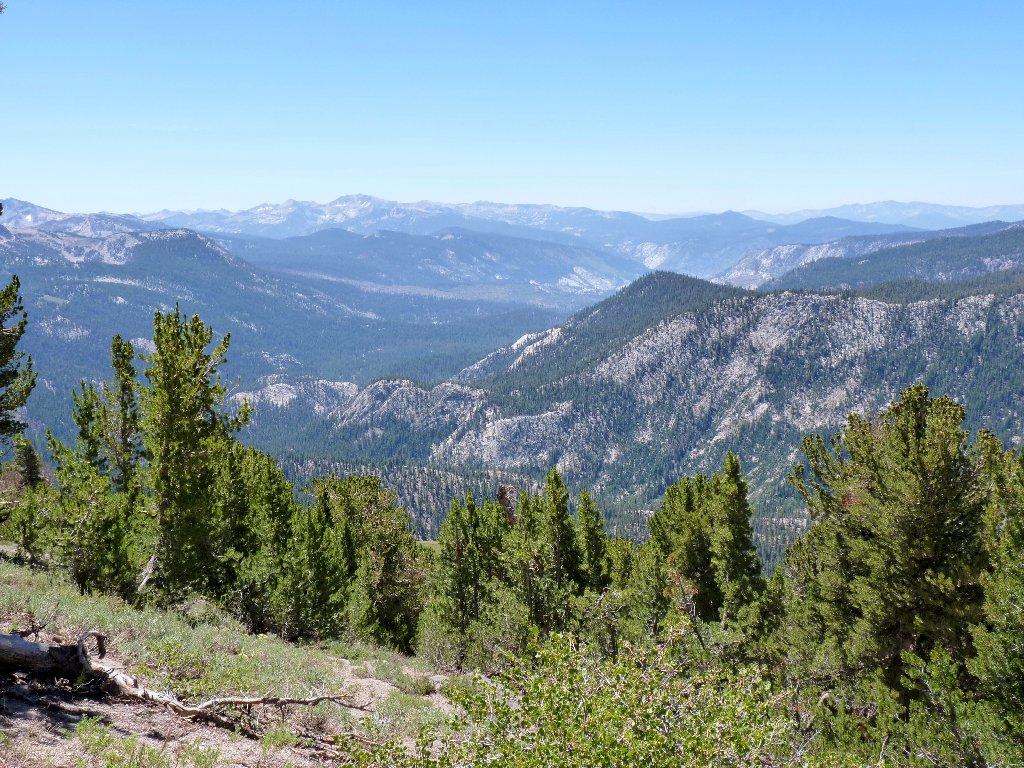
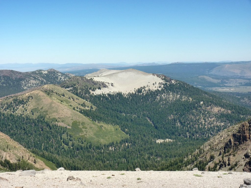
The view south over the Devils Postpile area
There is a maze of trails below in the meadow.
I could access them by continuing, but I must return this
way in any case. Instead, I believe that I will start back
now and angle up toward the main trail for a mini-loop.
Scrambling sideways up the slope proves more difficult than expected
Olaine Lake in the meadows
Telephoto view of Shadow Lake
Once atop the ridge again, I could continue north as per the
original plan; but that last slog has more or less worn me out.
Having a 5-hour drive ahead of me, I seem willing to cut this
trek a bit short; so I start down the ridge.
Looking northward up the trail
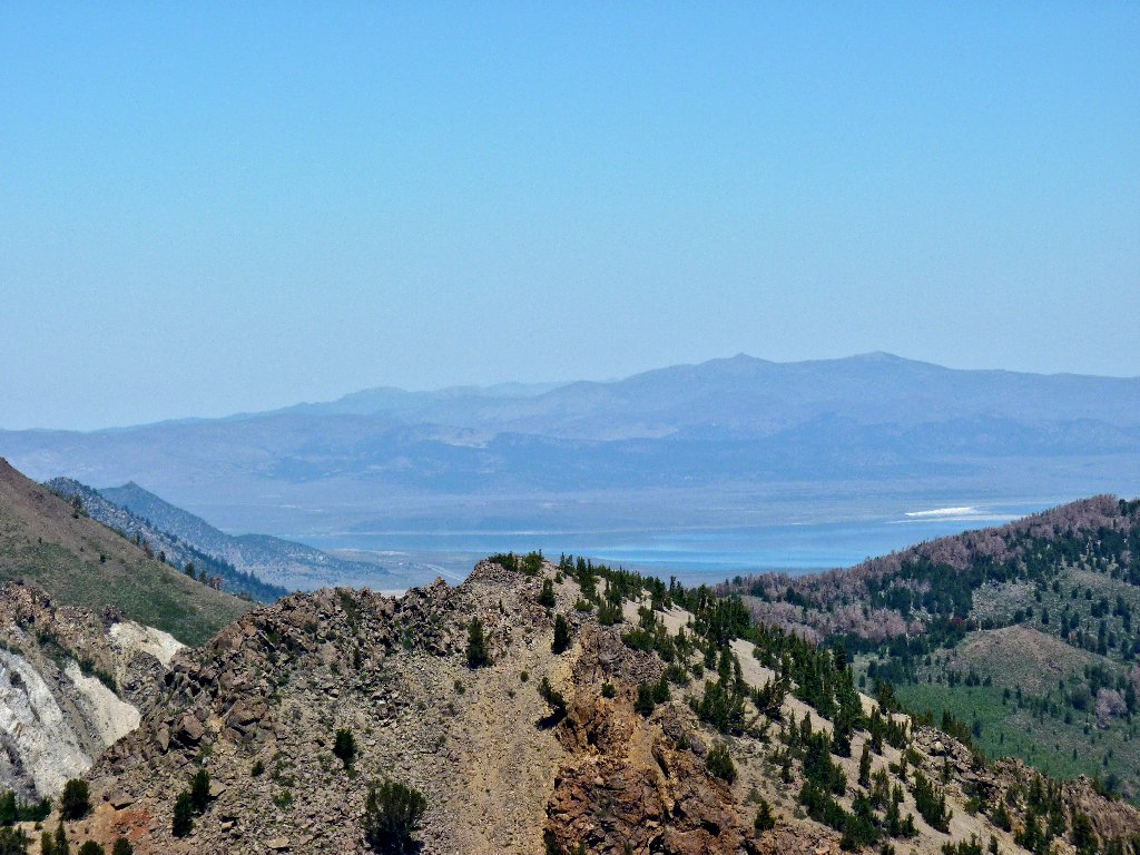
Lake Crowley is 3,500 feet below in Owens Valley
Tunnel tree!
White Wing Mountain to the east
The trailhead is at the top of the hill
Looking down Deadman Pass
The last 300-foot climb involves four brief rest stops.
It's all uphill at the end
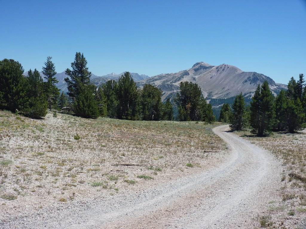
Down the Hard Rock Trail, toward the big mountain
§: Well, I ended up walking nearly a mile more than
necessary, but it all worked out. What this route lacked
in pizzaz was more than compensated by the great views of The
Minarets, which have renewed my interest in visiting the
Rosalie-Shadow-Ediza Lakes complex.
| Scenery |  |
| Difficulty |  |
| Personality |  |
| Adventure |  |
| Solitude |  |

ADDENDUM
Although the Two Teats formation is clearly denoted
as such on the topographic map, someone at Google Earth
moronically named it Two Tears for a while.
I presume that this was an honest error, because even though
the formation's name no longer shows up automatically, it
does respond properly to a search.
The Two Teats formation cannot be identified on a 3-D
view, however, unless one knows precisely where to look.
The westernmost peak, being little more than a pile of rocks,
shows up off-scale on the screen as a flattish slab.
Apparently, the satellite camera doesn't understand the female anatomy!
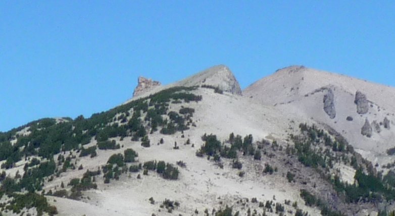
That formation does not exist in a Google Earth view
One can find photographs of it, though, on many other websites.
