
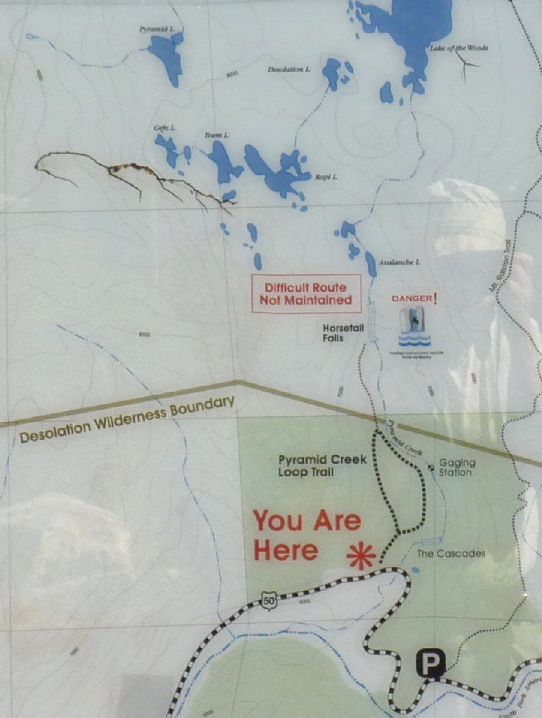
Desolation Wilderness
|
Ropi Lake Desolation Wilderness |
July 13, 2012
The weather report says that my home town will reach 113° today,
which means that it will be hot no matter where I choose to hike.
In light of that, staying close to a cascade-laden creek could be a
good plan. There are a number of lakes on the western side of Desolation
Valley that I never have seen; perhaps I can visit something new today.
It seems my work is cut out for me
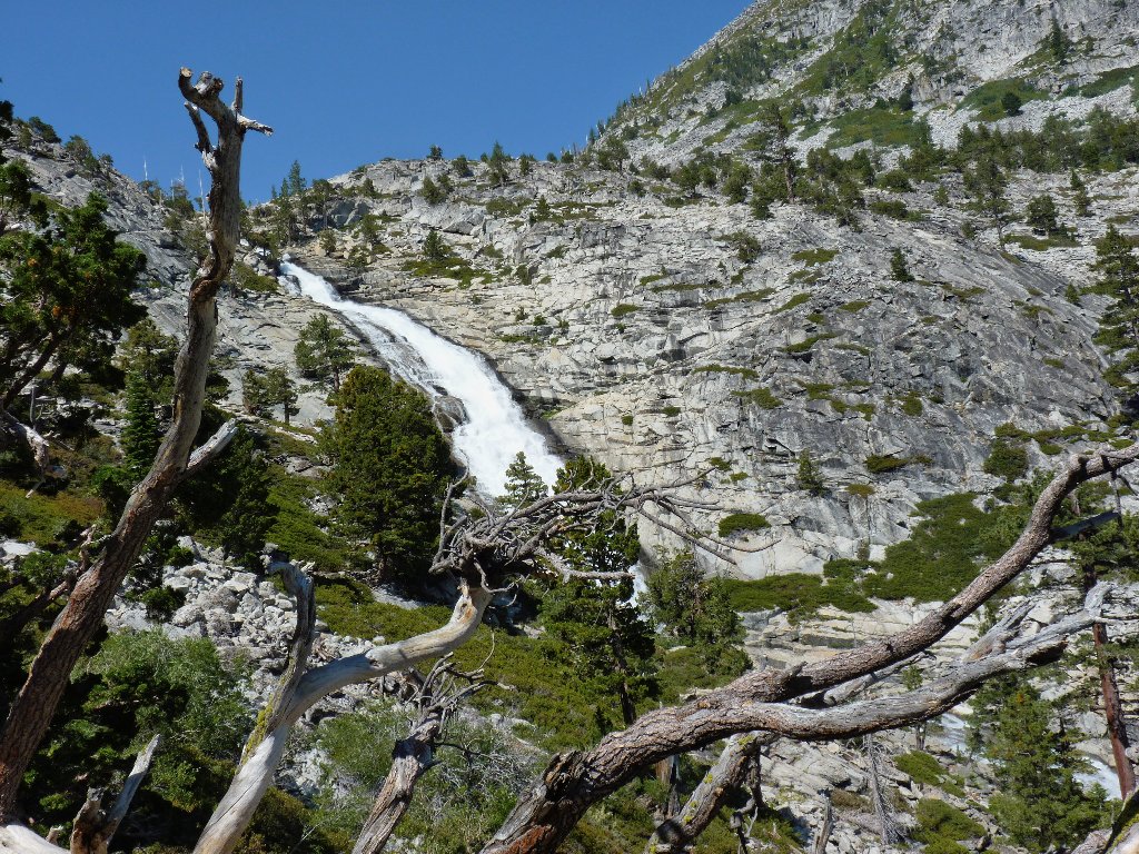
I actually have climbed this route twice previously, but not for nearly twenty years. Within ten minutes of walking, the principal attraction comes into view.
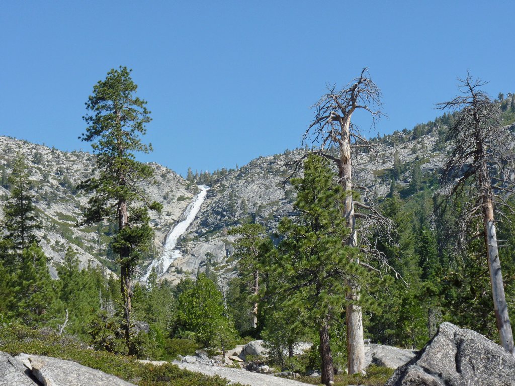
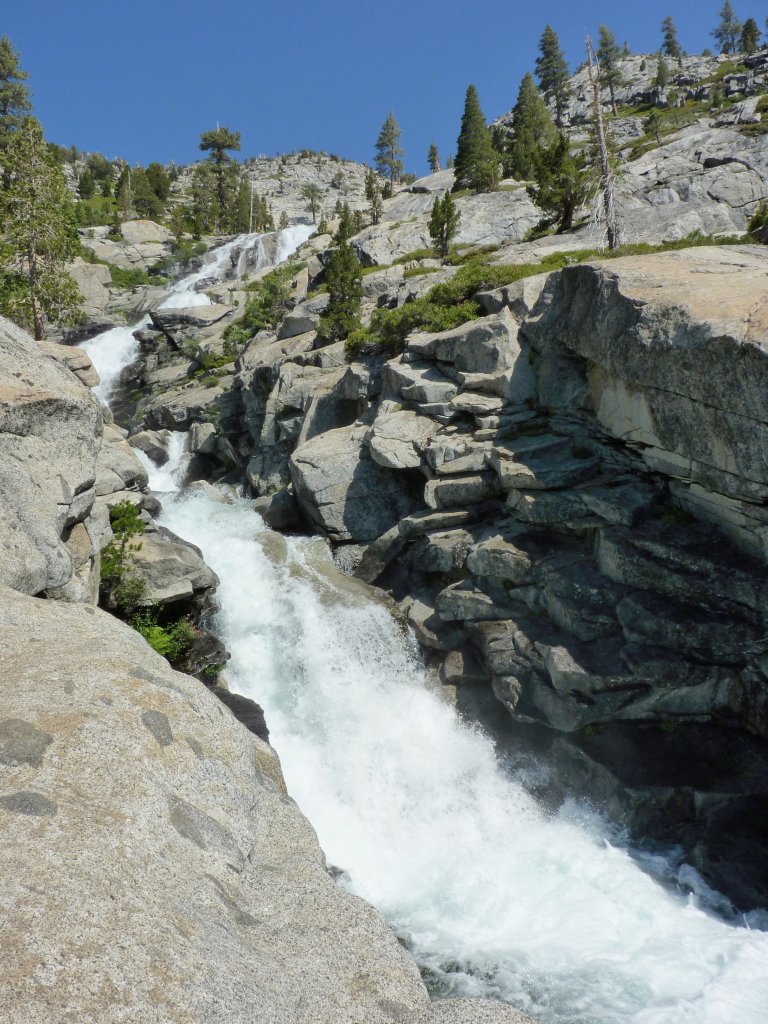
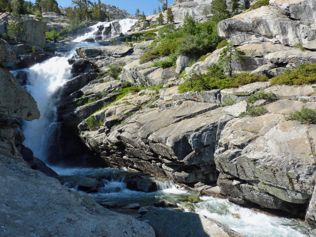
Horsetail Falls
One would never guess from viewing the falls that last winter was especially dry. On the other hand, Pyramid Creek never has disappointed me.
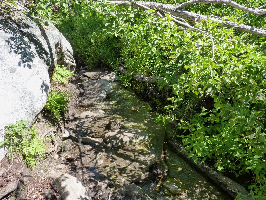
Water on the trail
Water beside the trail
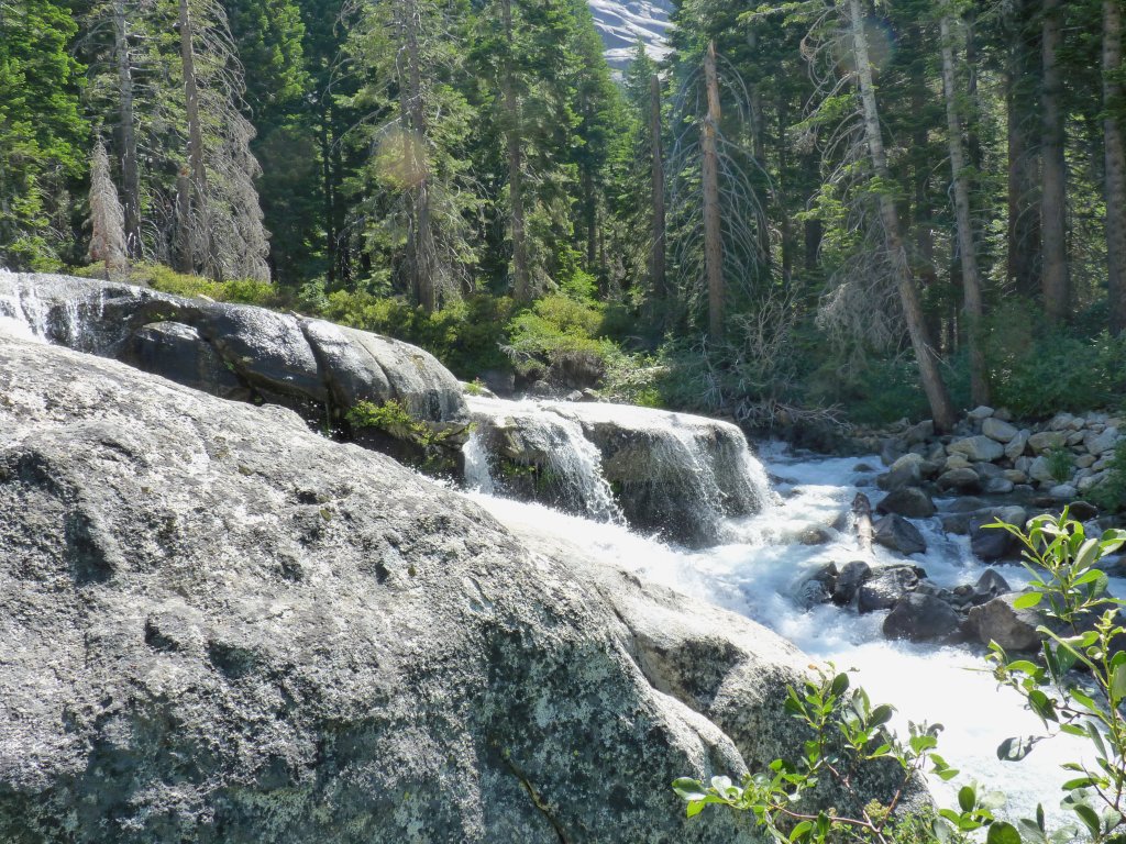
The official trail ends at the base of the falls. According to a ranger to whom I spoke at another time, the Forest Service doesn't want to establish an official route up here for fear of further congesting what already is the most densely populated federal wilderness. Albeit understandable, that is a shame, because this is by far the shortest access to Desolation Valley.
Near the base of the falls
A use trail heads westward up the hill. I probably should take it, but no; I continue to clamber up beside the falls, hoping for more great photos. The pictures are there all right, yet there also is a grueling subsequent climb to nowhere in particular.
The trail leads up there
I end up scrambling up steep slabs with barely enough handholds and footing to do the job. While resting underneath a big tree, I consider calling it quits here; but something drives me on.
The upper falls
Eventually, it becomes necessary to venture out onto the talus field. The going is slow and steep. Occasional boot prints in the sand serve to reassure me that I am not the only bozo to have tried this route, but that doesn't make the going any easier.
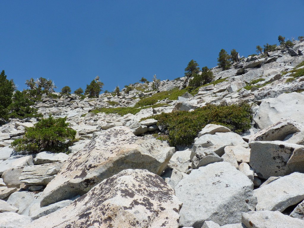
A lot of climbing remains
I know that on my last trip through here I headed over right beside the brink of the falls; but when I spot a couple of men having difficulty with the high water over there, I continue straight up the hillside to the top.
This top portion of the cascade is not seen from below
Once over the lip of the hill, the going is much easier, as I knew it
would be. While I am stopped to rest and fill water bottles, a woman
approaches with a big smile. It seems that Gina has brought her friend
Jim here on his first-ever backpack. That is something of a
coincidence, because I incurred my own first-ever backpack right near
here, in 1974.
Jim's borrowed external-frame pack is not fitting him properly. The hip strap is hanging well above his waist, meaning that his shoulders are carrying all the weight. After recommending certain adjustments and eliciting a promise that they will send me an email, and after informing them that some 1200+ acres of forest near their homes are currently ablaze, I wish the couple well and continue upstream as they start downward.
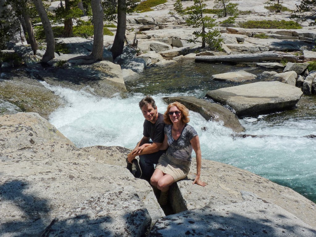
Jim and Gina
At the brink of the falls
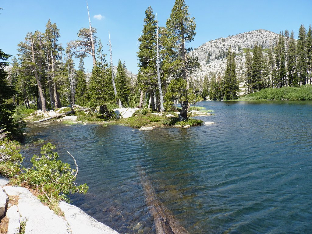
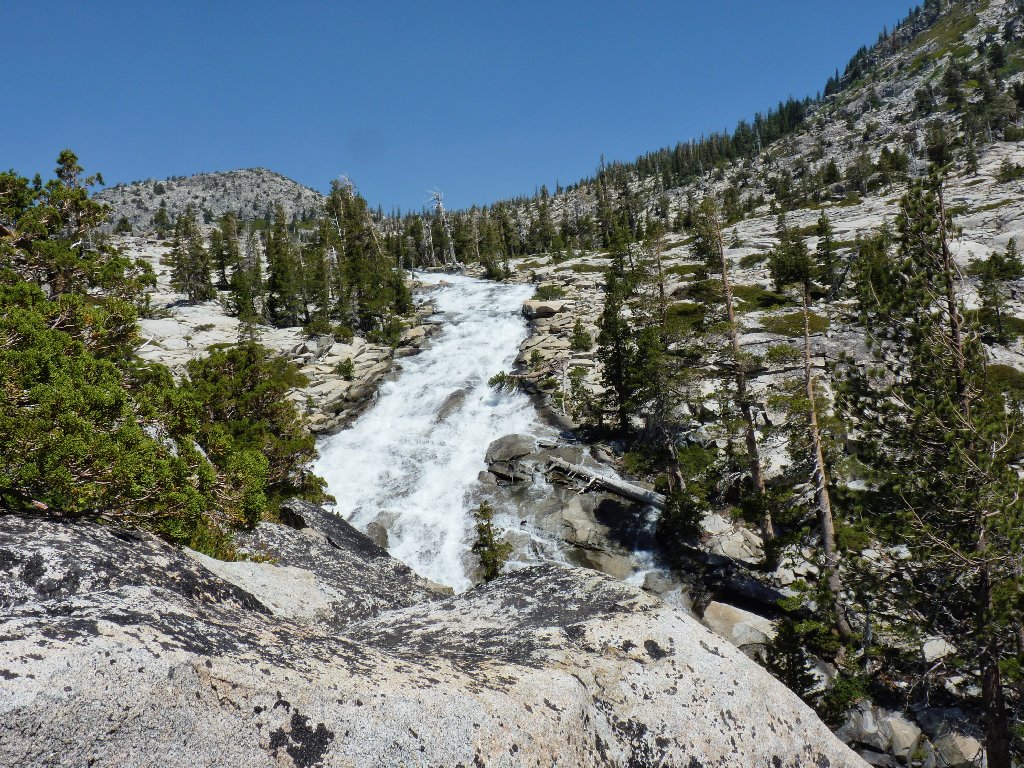
Avalanche Lake
Pyramid Creek
It has taken me nearly four hours to trek fewer than three miles. I am glad that I didn't turn back sooner, though.
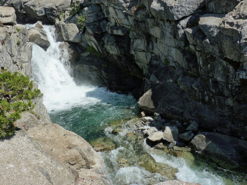
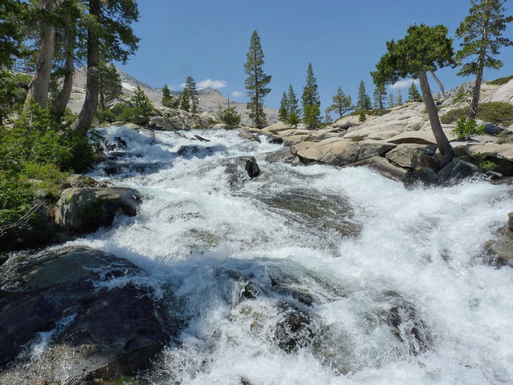
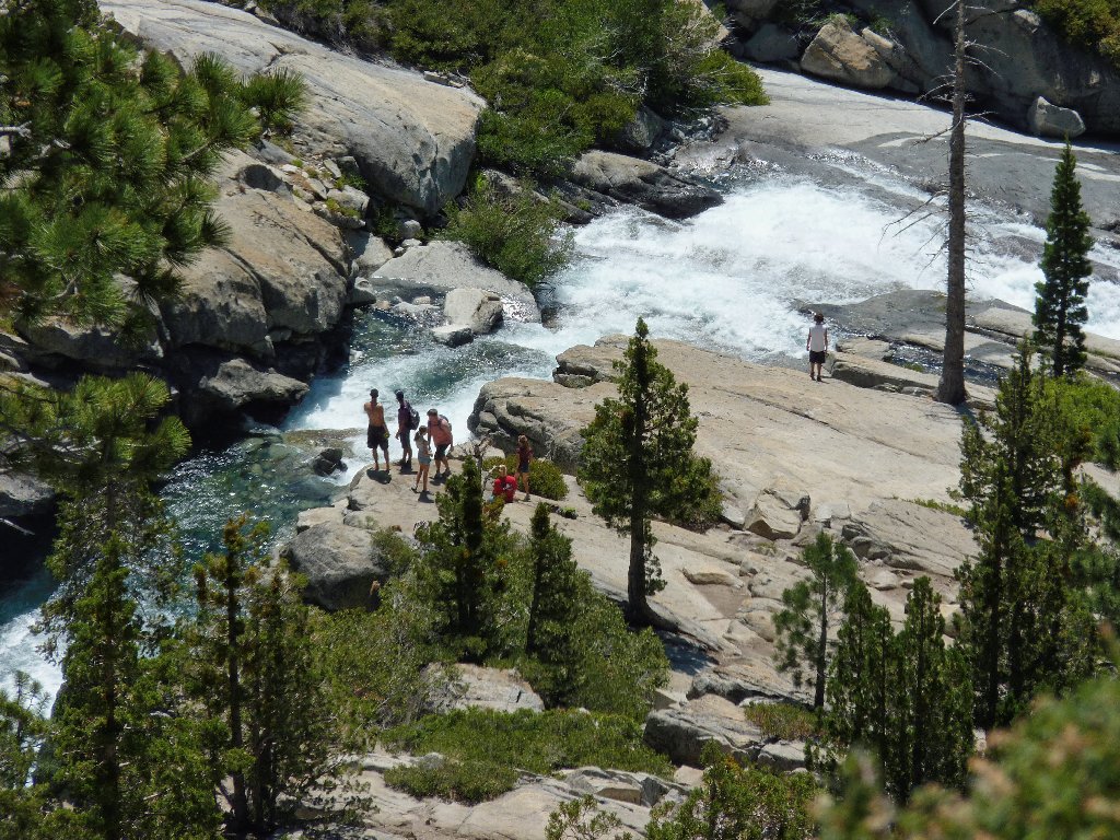
Ropi Lake and the next awesome cascade ⇔
Gina told me that she and Jim had ventured upstream only this far yesterday, which is unfortunate in a way; for at the top of that next cascade is what I consider to be the prettiest spot in Desolation Valley. Their map didn't tell them that.
At the southern end of Ropi Lake is a two-part dam which provides the only way across the creek while keeping one's feet dry. After negotiating that fun stuff, it is time for a major decision.
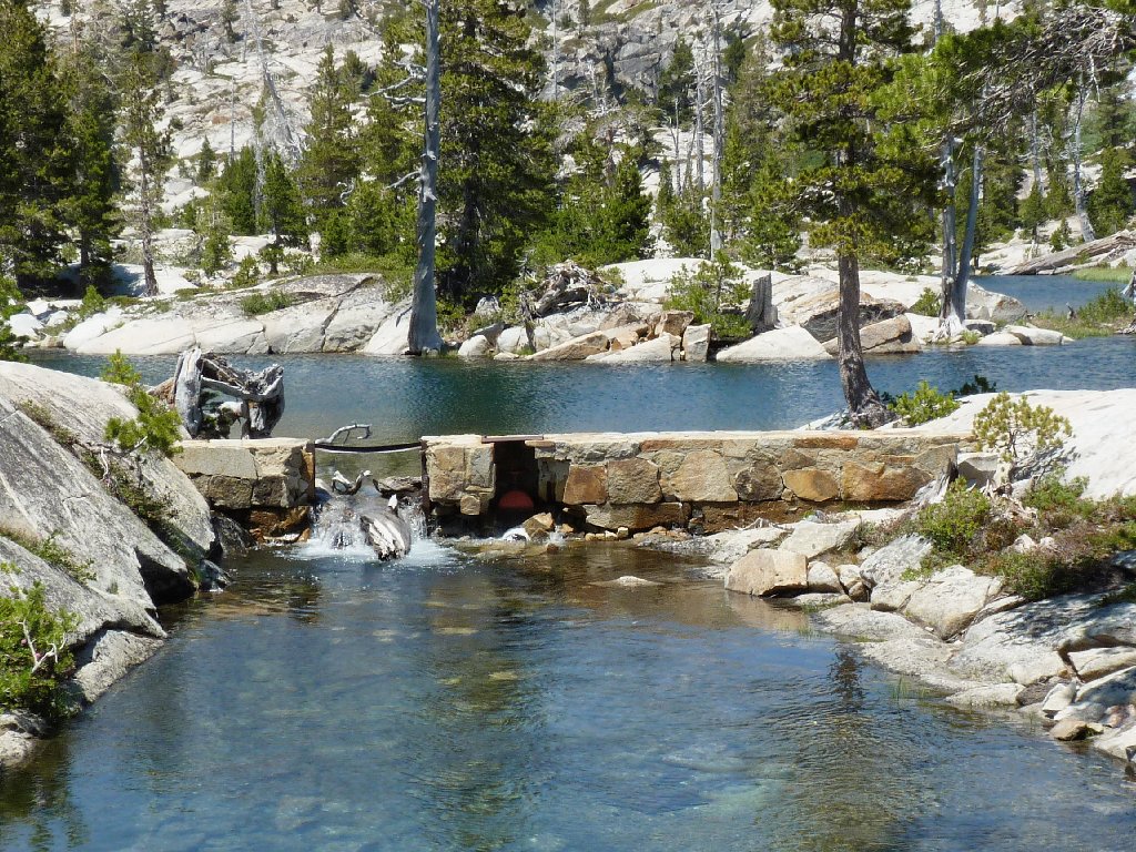
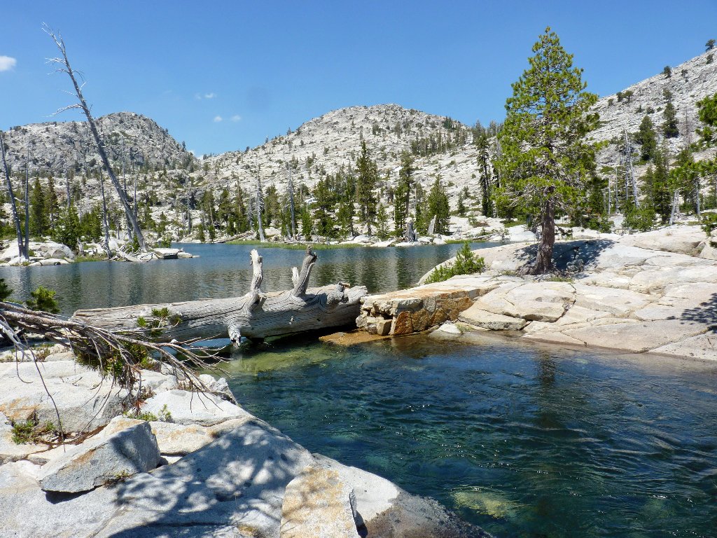
Ropi Lake Dam
I could do some exploring to the west as originally planned, but I cannot seem to summon the energy for that. The heat has gotten to me, as expected. Alternatively, I could make the trek up beside the cascade, then cut over past Lake of the Woods and exit at Echo Lake. After that, it would be necessary to utilize the boat taxi and hitchhike six miles back to the car. My walking mileage would be nearly doubled that way; but the going would be mostly on real trails.
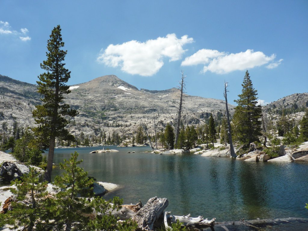
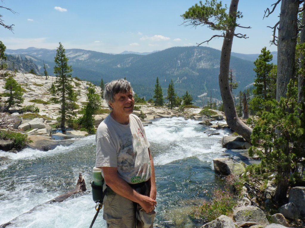
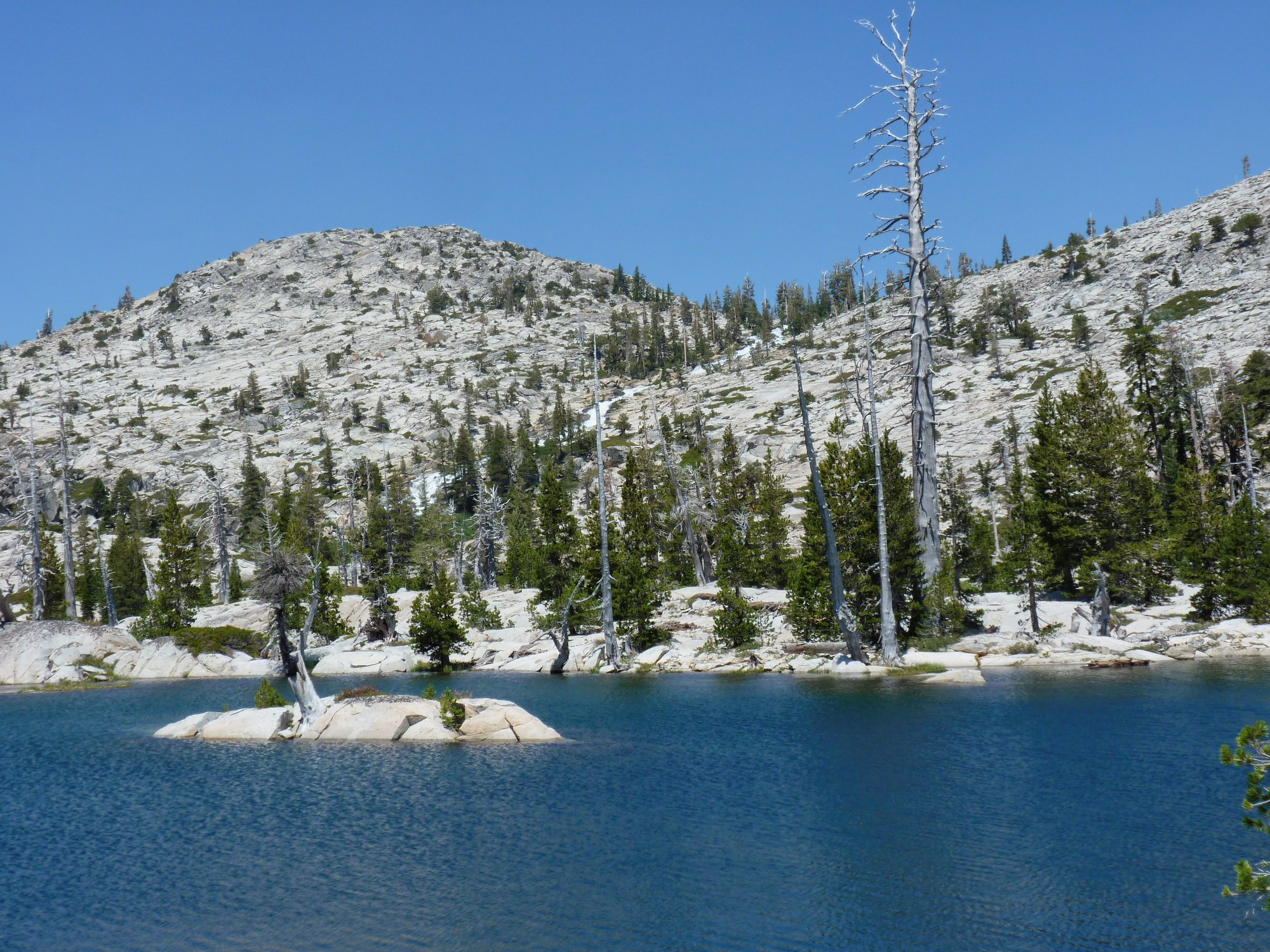
Pyramid Peak, 9984', highest in Desolation Wilderness
I am so torn. Back in 1977 a companion commented that the area near the base of that cascade was the prettiest place she ever had seen, and nothing appeals to me more than scrambling up the granite slabs beside such a spectacle. Finally, however, the prospect of another 750 feet of climbing makes the choice: I will bite the bullet and head back the way I came.
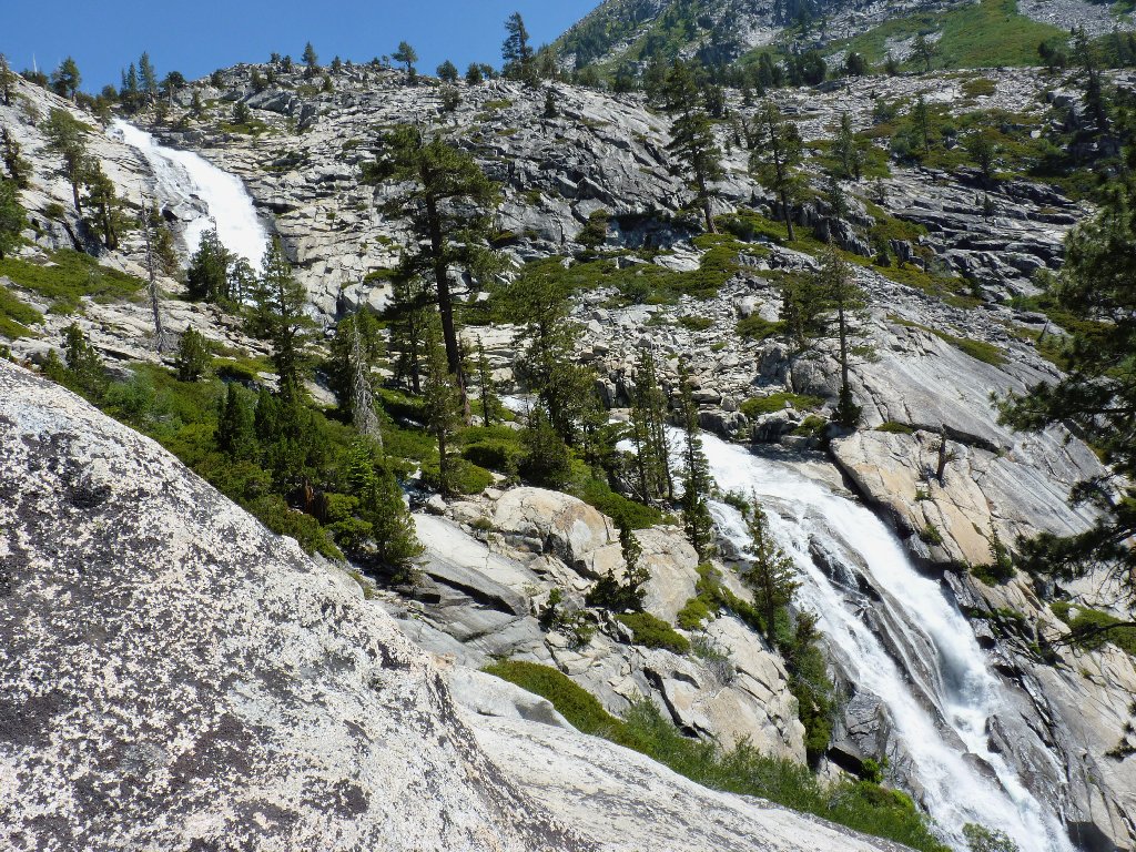
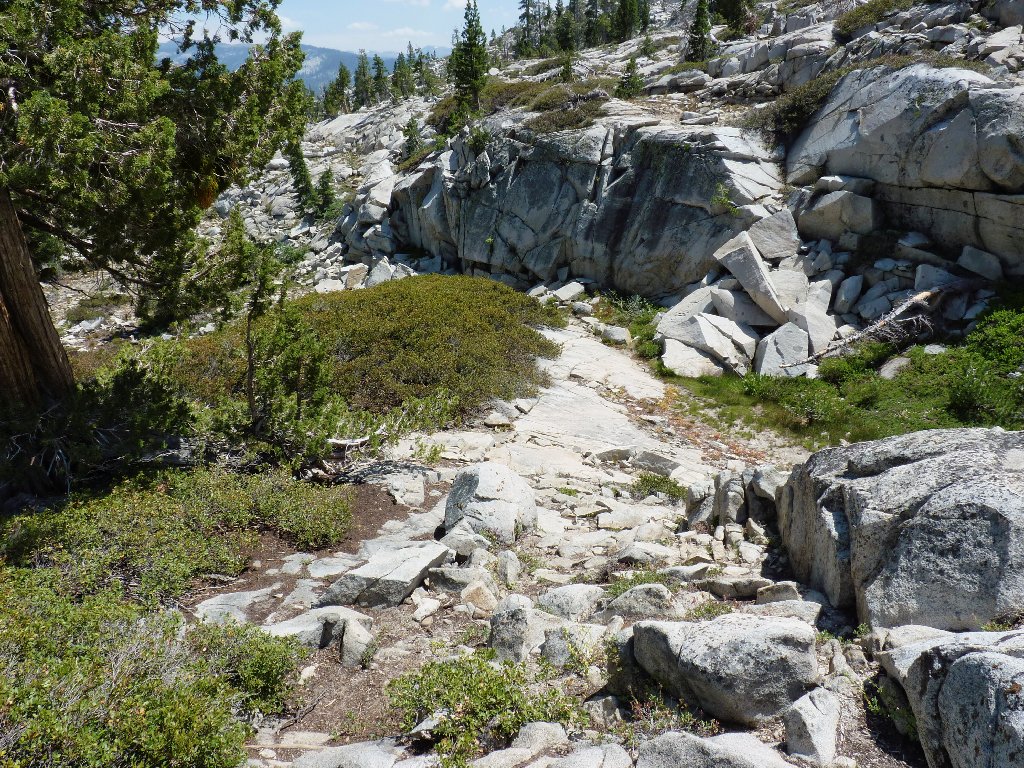
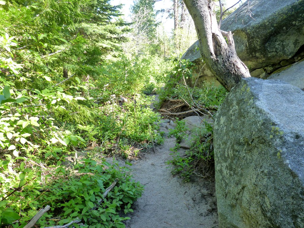
By staying well away from the creek this time, I discover a fairly
well-established trail, which leads through a little gap above and
beside the brink of the big falls.
Heading down
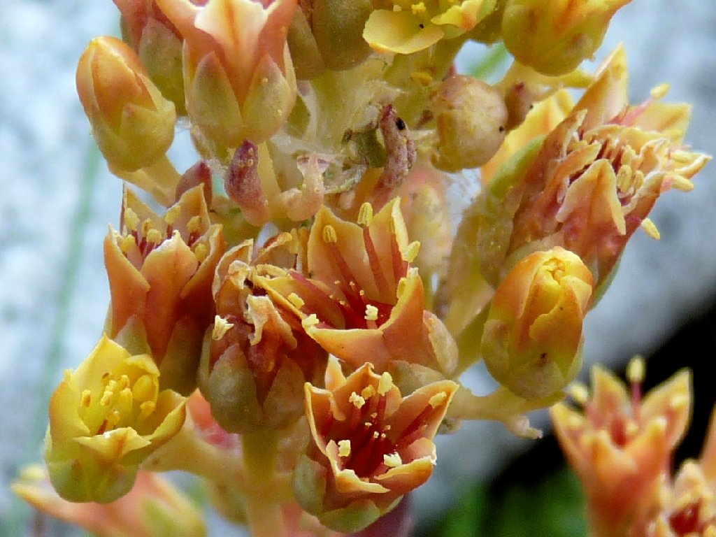
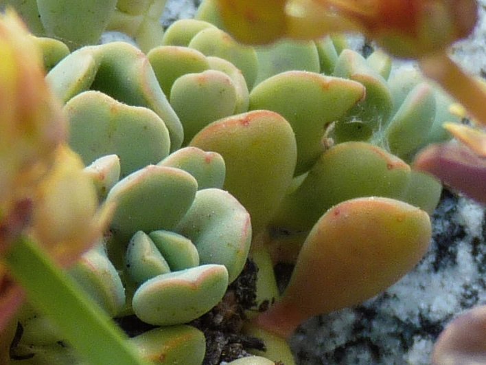
Sierra Stonecrop – succulent!
This use trail runs well uphill and to the west of my original choice,
thereby avoiding most of the talus-hopping. This is great!
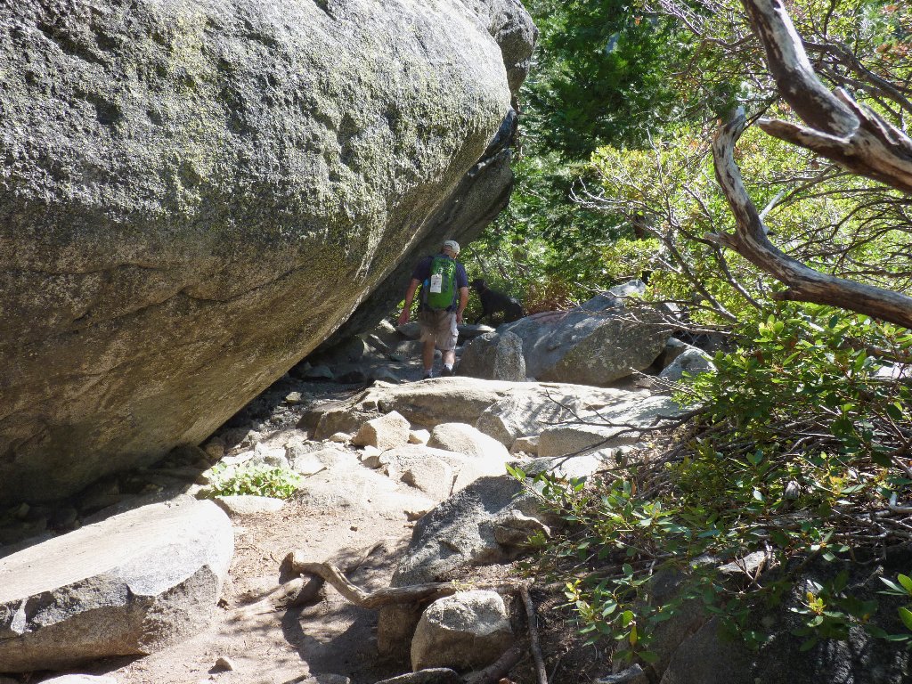
Beside a giant fallen tree which could serve as a good landmark
It's great, that is, until one loses the trail, which proves quite easy to do. Several times I find myself scurrying around in precarious places; in several situations I can see the path, but getting back to it is problematical. After last week's accident at Sardine Falls, however, I am determined not to do anything particularly risky; so I take extra care to bypass shortcuts that I might have tried prior to my suddenly becoming older and wiser.
This chute is steeper than it looks
Almost there (telephoto)
Finally, I am back at Horsetail Falls in the company of other hikers. Heaven forbid, however, that I should take a prudent long break here; no, I must push myself to the panting stage before stopping, as usual. After taking a few photographs, I head out.
This is why I go hiking ⇔
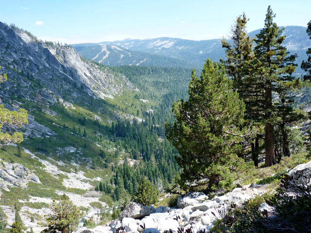
The very rough first quarter-mile gives way to easier ground.
Stopping every few minutes now to give legs and lungs a break, I cannot
remember having been so tired since my seven-hour round-trip
conquest of Half Dome in 1961. That's the price of getting old, I guess.
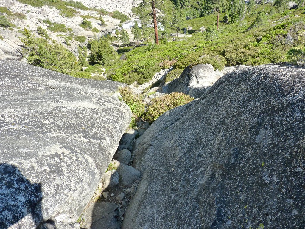
Interesting spots on the trail
Near the busy highway now, it is only about a 1-minute further
walk to the trailhead; nevertheless, I must pause to rest one last time.
This seems pretty weird, but it does provide an opportunity to photograph
a new flower species:
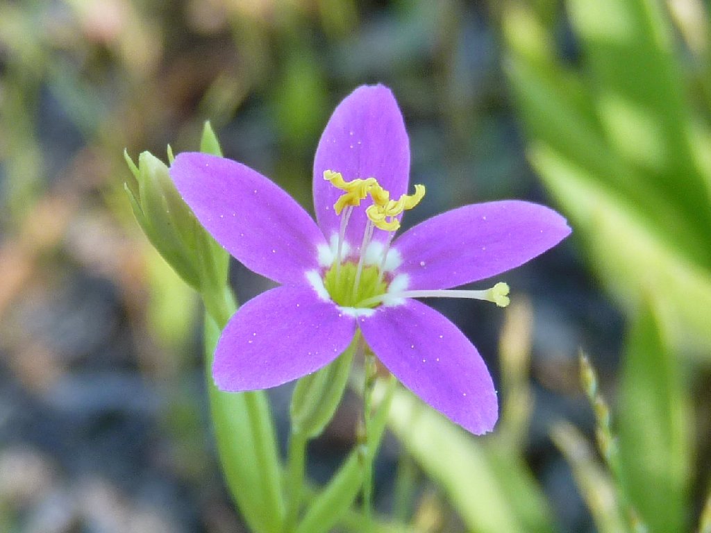
Venus Centaury
§: Well, I did not cover any new ground today. Albeit
within half a mile of several previously unseen lakes, I simply was too
weary to do any more cross-country exploration, which was a
disappointment. I don't know whether I will repeat this hike,
but I certainly would like to revisit that marvelous cascade.
Doubtless, younger folk would have no problems with this trek; I certainly
didn't have any troubles at age-54, the last time I was up here.
Continuing upstream all the way to Lake Aloha is a delightful and relatively
easy venture, even though there is no official trail.
| Scenery |  |
| Difficulty |  |
| Personality |  |
| Flowers |  |
| Solitude |  |

TESTIMONIAL
Any hiker familiar with this wilderness knows the scoop; but for the uninitiated, I suppose that the word "Desolation" could possibly put someone off. If you are one of those, then please be apprised once and for all that the area between Horsetail Falls and Lake Aloha is unequivocally one of the least desolate areas that one ever could visit. Viewing the region from a plane or on Google Earth is not quite the same as being down here among the ponderosa pines, the dozens of lakes, and all the cascading water. This place is incredible.
 |
September 2021: The canyon has burned from Twin Bridges to the top of the
falls. The fire continued north to Gefo and Toem Lakes, but not to Ropi Lake. |
