
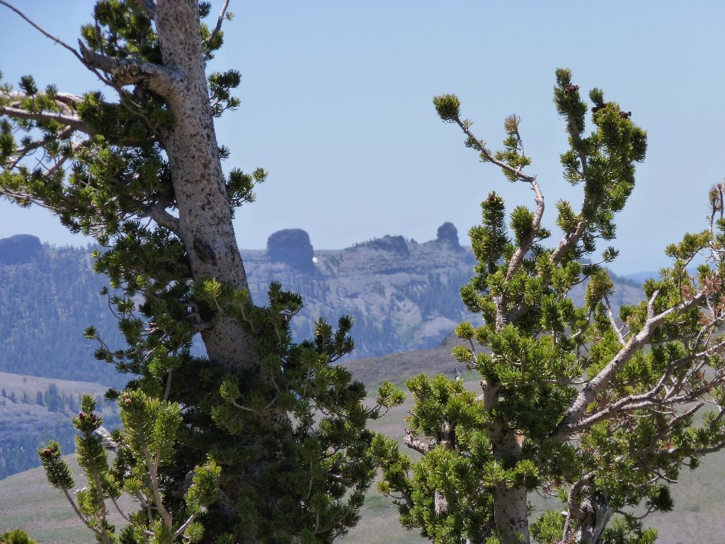
at Carson Pass, Eldorado NF
|
Red Lake Peak at Carson Pass, Eldorado NF |
June 20, 2012
Today will be another scorcher down below; so here I am, a couple thousand feet higher than on the hike at Silver Lake just a few days ago.
The trailhead into Meiss Country is now located at Carson Pass, where there is space for restrooms and a big parking lot. Because a lengthy portion of the trail parallels the highway, it had seemed likely to me that a shortcut would be available. Surely enough, some time ago I discovered the site of the old trailhead a mile down the road, and this is my chance to use it. It's a hundred feet or so lower in elevation than the official entry point, but the extra climb is a small price to pay in order to save a noisy mile and a half of walking.
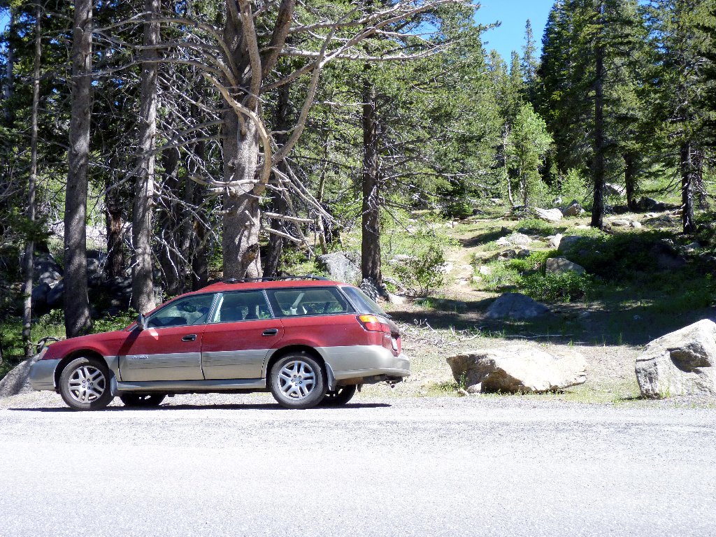
The original trailhead
This old path is great; its condition is as good as if it were groomed yesterday. I believe that it gets some use by equestrians who are able to park their trailers just across the highway.
Approaching the modern trail
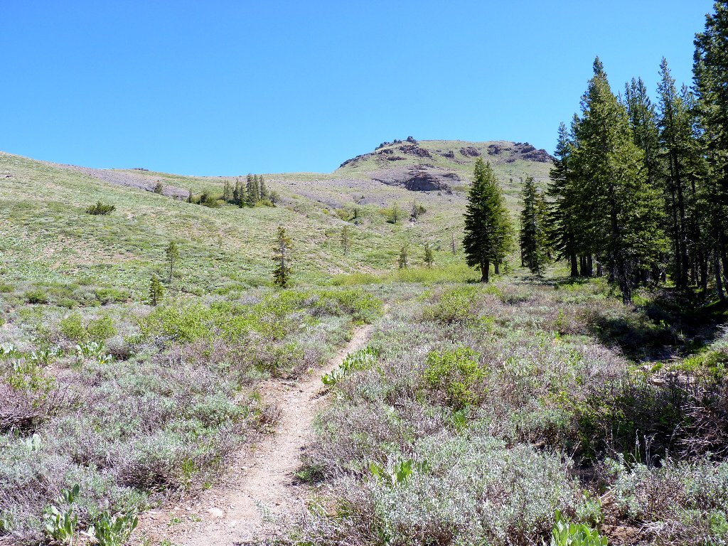
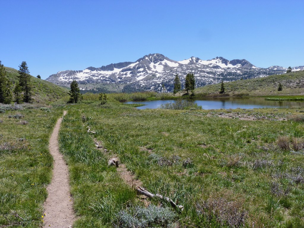
At an obvious place I depart the nice trail for the remnants of an old road into the area, saving a bit more redundant walking. Turning uphill directly toward the saddle, I soon intersect the Pacific Crest Trail close to a pleasant pond.
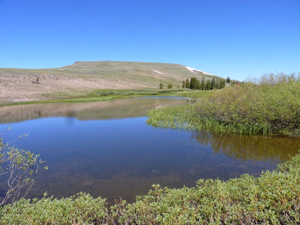
All the mosquitoes are hanging out here
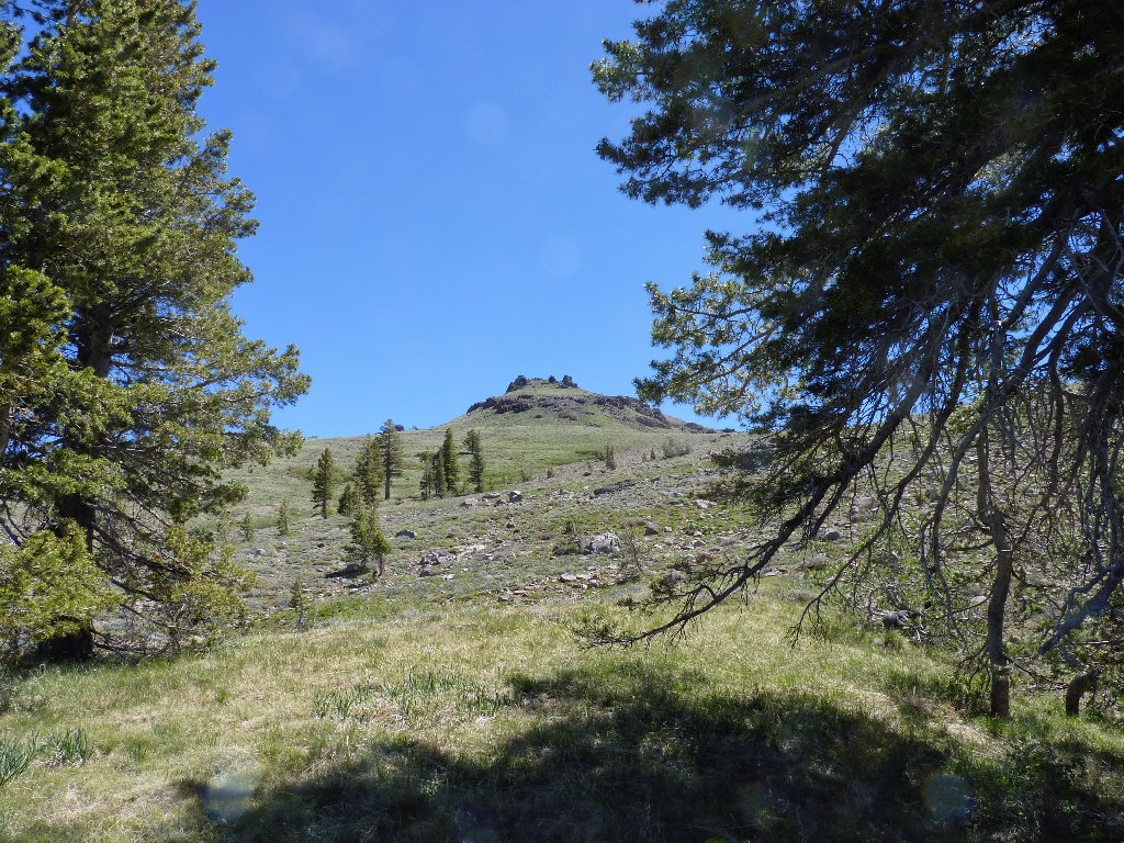
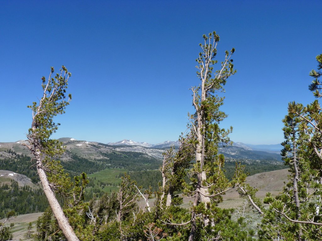
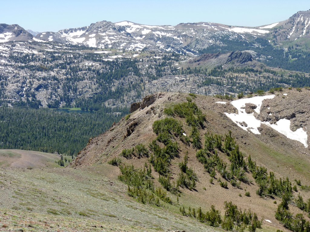
The objective looms
Keeping an eye out for a use trail as I proceed northward, I soon give up on that and strike out up the slope toward the obvious high point. Staying in "switchback" mode is helpful, but numerous rest stops are necessary nonetheless. An occasional small tree provides some shade for that purpose.
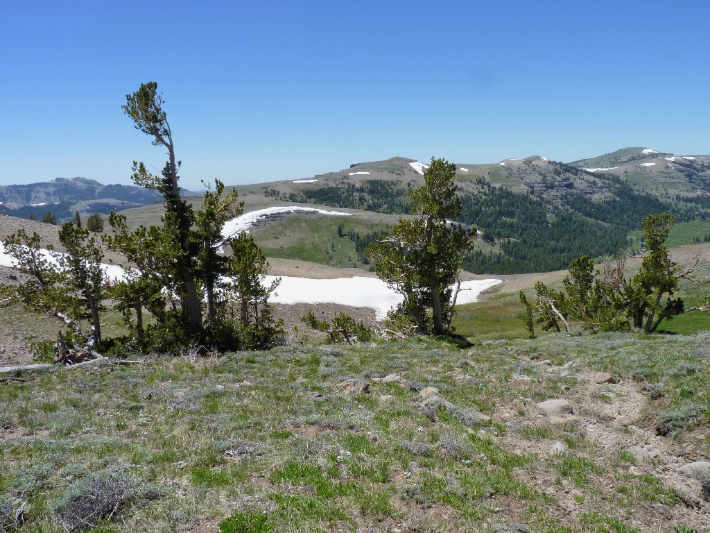
The Crystal Range to the north
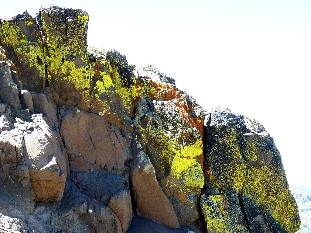
Great colors in the rocks
Still quite a bit of climbing to do
Wondering which route to choose through the rocks above, the path of least resistance takes me around to the right. This proves to be just fine, as I get an interesting view of the highway below.
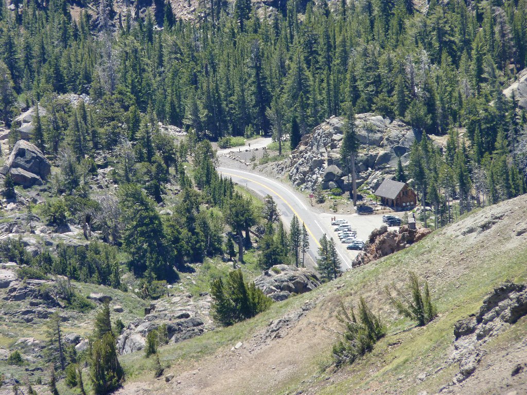
Carson Pass and Highway-88
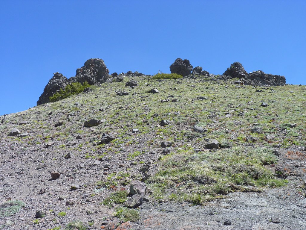
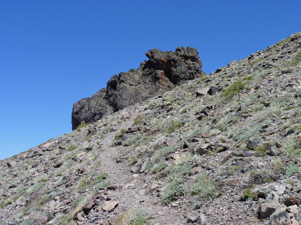
Oops! This isn't the high point at all. Bummer. Actually, it had seemed to be a bit too easy.
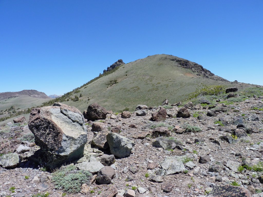
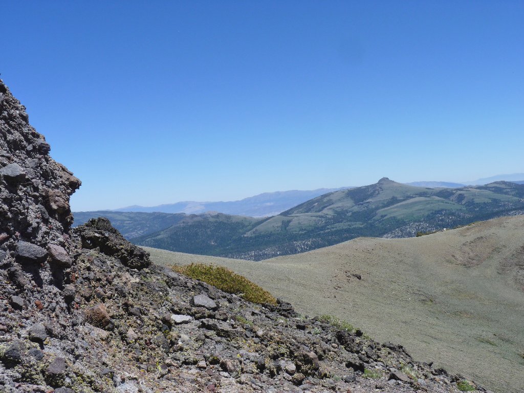
The real summit is way up there
What flowers are out this early in the season are baking in the sun, which doesn't make for great photographs; but I must do what I can.
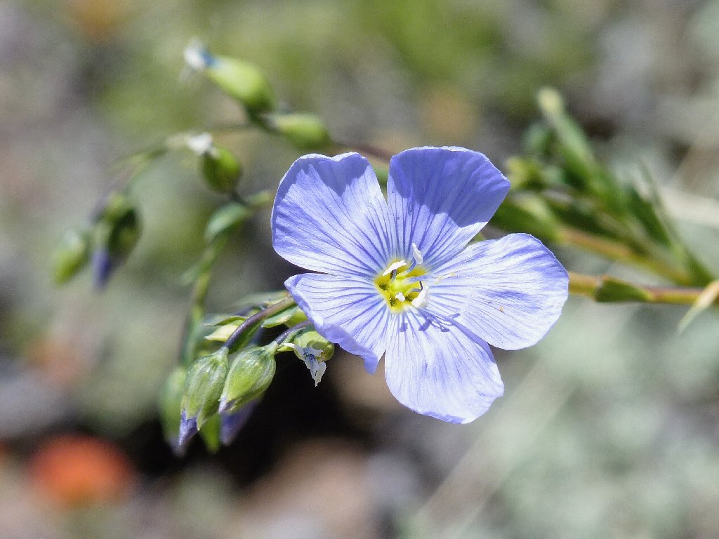
Blue Flax
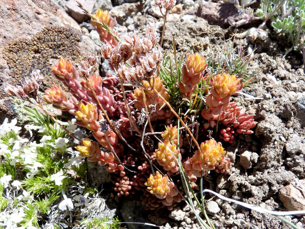
Sierra Stonecrop
I can see a trail sloping up the big hillside. Getting to it from here
entails a drop of nearly a hundred feet, which leaves a 400-foot
subsequent climb.
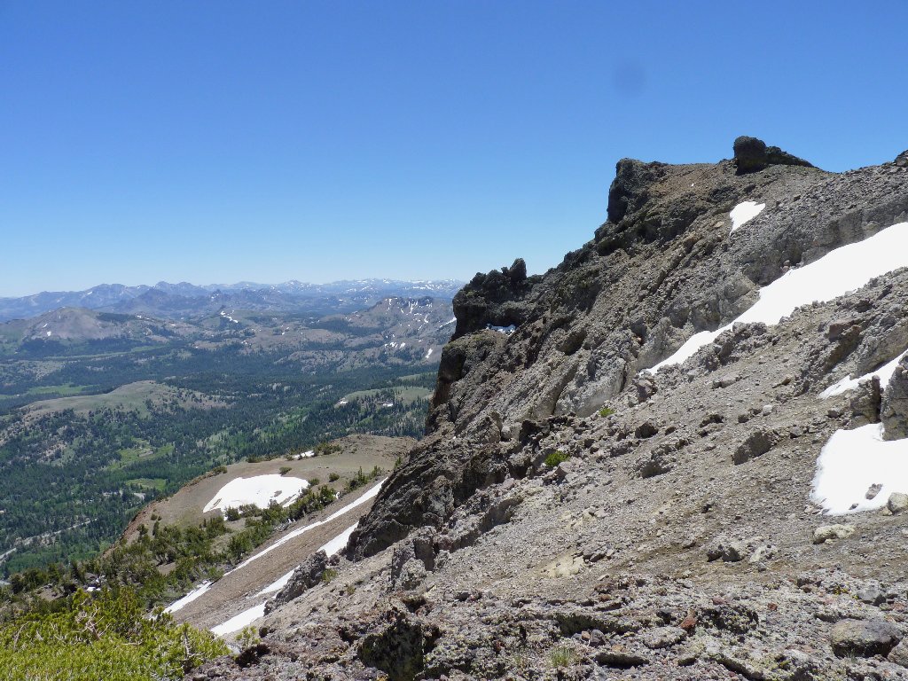
The false summit, with Woods Lake behind
Approaching the real summit — I hope
The top of the mountain, 10069'
Among the lava rocks up here, it is convenient to veer right up to a point that
provides a stunning vista, from which I am able to shoot a 360-degree
panorama movie.
The Sweetwater Range, Ebbetts Pass, and Sonora Pass in the southeastern skyline
Hawkins Peak to the east
Just below is a strange structure. It looks like a giant water spout, but what function could it possibly have way up here? I must inquire further at a ranger station.
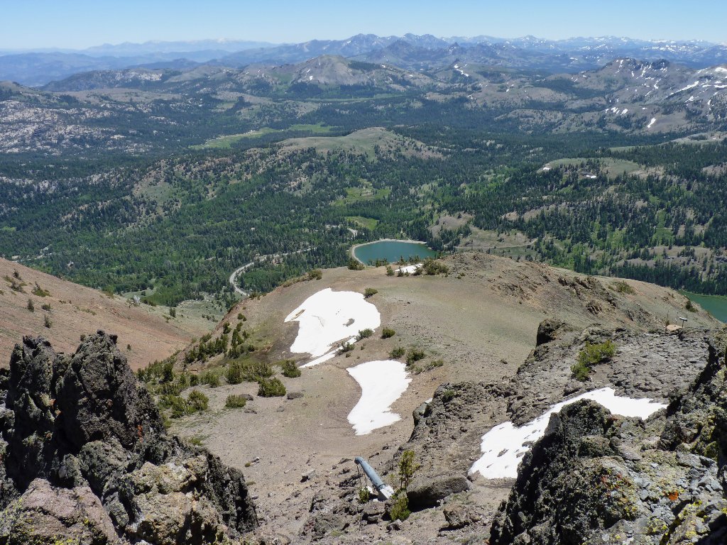
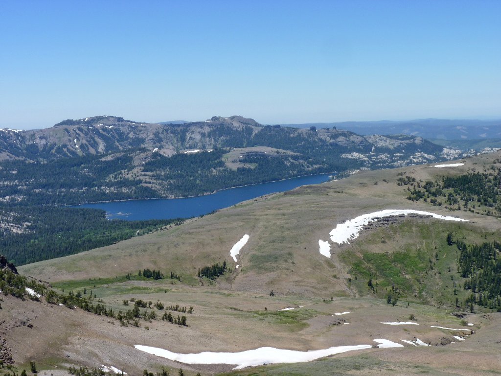
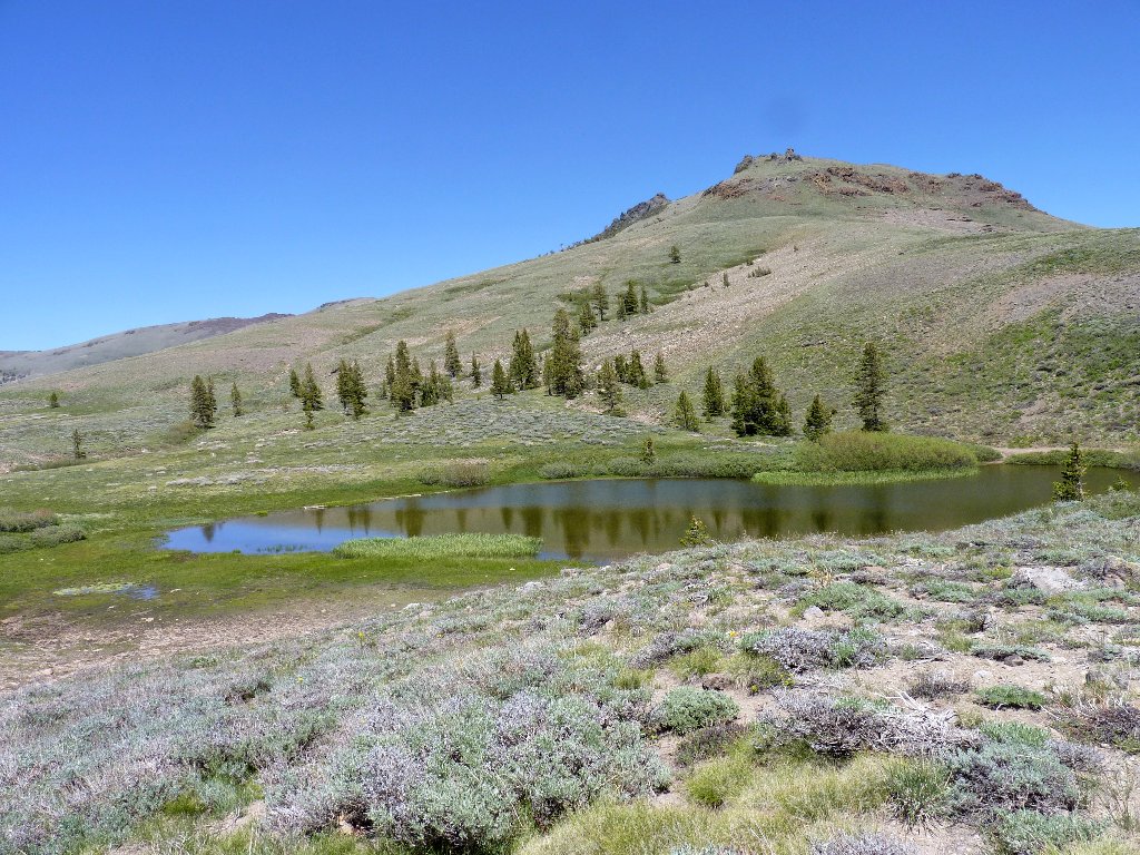
Red Lake below
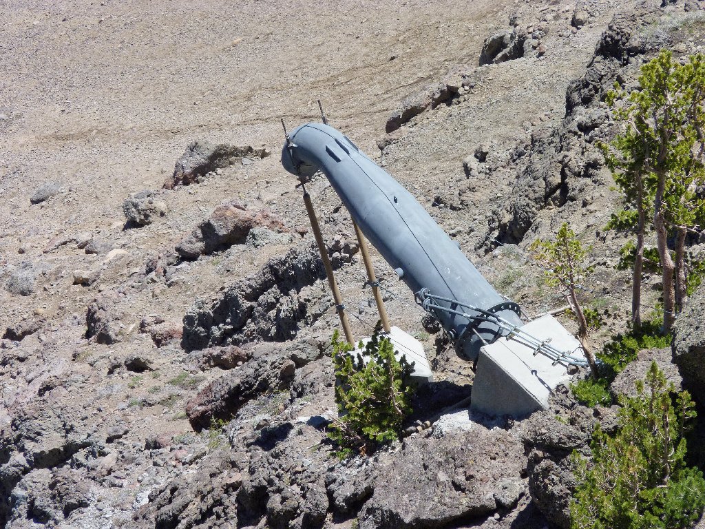
What in hell is this?
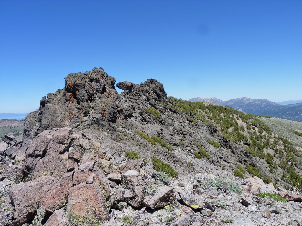
The true summit, with Lake Tahoe and Freel Peak hiding behind it
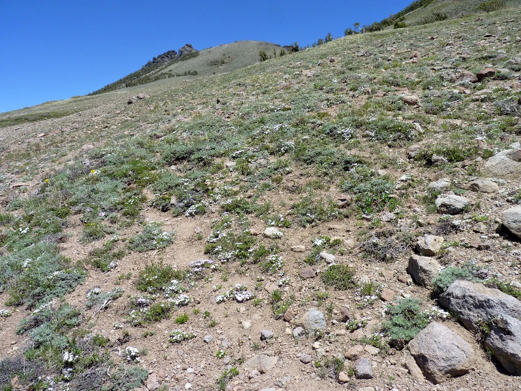
The use trail continues around the summit block, then heads north atop a saddle toward Stevens Peak. Going there was in the original plan, but today I am just hot enough not to continue. Scrambling to the top of the tallest piece of lava also doesn't appeal in the slightest. Knowing that I might later regret this decision, I decide just to hang out a while longer, munch some gorp and green grapes, photograph some local flora and fauna, then head down.
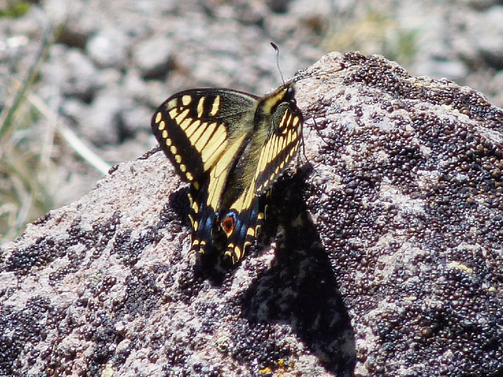
Anise Swallowtail
I have previously seen this flower variety only over on Elephants Back:
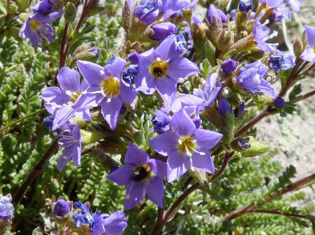
California Polemonium
It is time to go. Proceeding down the trail proves to be more of an effort than expected, because the route is so steep. Already, the old knees are starting to feel the strain. I remain on the trail as long as it is useful; then, just before starting back up the false summit, I plunge down to the right toward the big snowdrift.
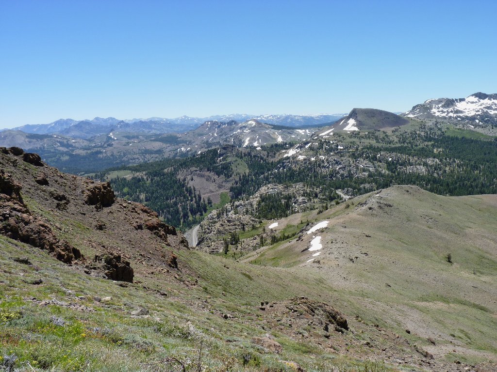
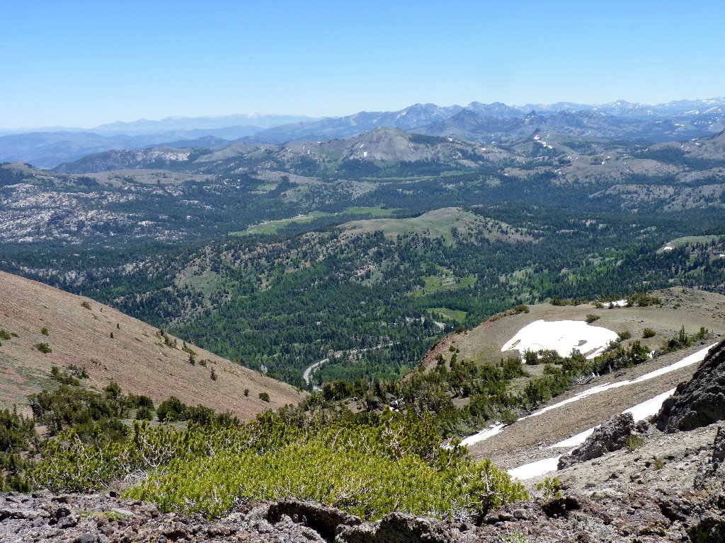
Thunder Mountain, Martin Point, and Caples Lake to the west
Heading down
The Two Sentinels
The cross-country going is quite easy here — provided that one watches his footing. Just as I entertain the thought of possibly twisting an ankle, it happens. Although I go down in pain, it quickly subsides. After praising myself for having worn my strongest boots, I am up and running again.
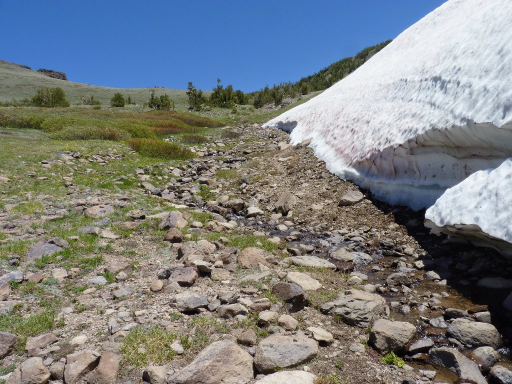
Upon reaching the snow bank, I encounter the headwaters of the Truckee River, which I knew was around here somewhere. Many folk mistakenly believe that the Truckee begins at the dam in Tahoe City.
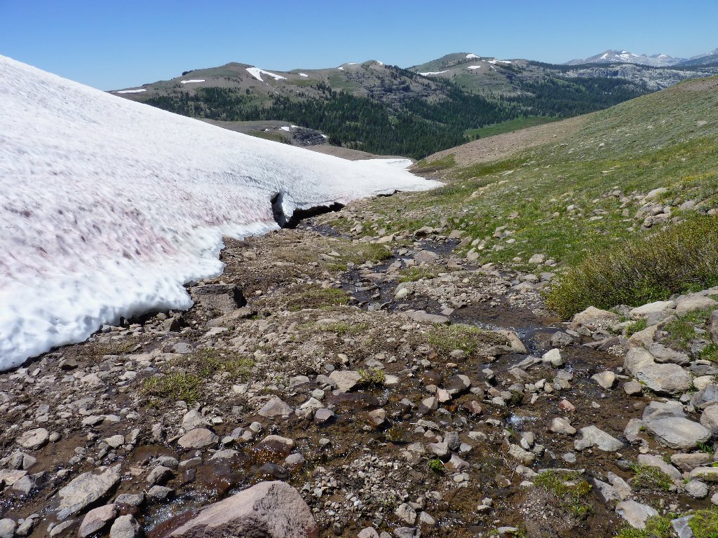
Upper Truckee River
Boy! Being around here is a lot more fun than that hot uphill climb. Communing with the creek cannot last, however. At a point where the river is flowing underneath the snow bank, I brave a crossing anyway, which gets me back on track.
Looking back
Phlox are everywhere
Just before reaching the big pond I reacquire the Pacific Crest Trail, and find a woman riding a horse up it toward Meiss Lake.
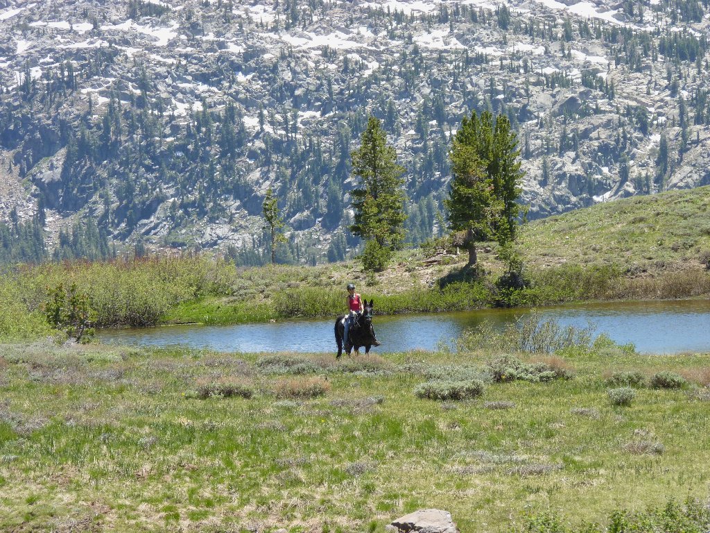
The only human I would encounter today
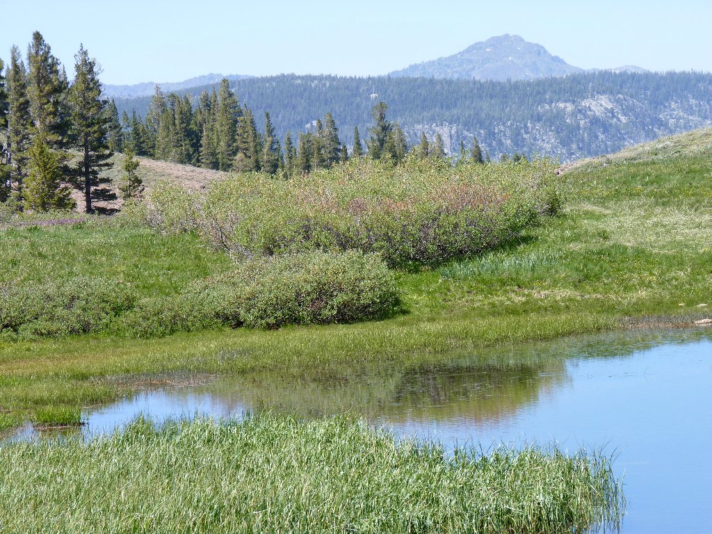
Back on the PCT toward Round Top
Elephants Back is across the highway
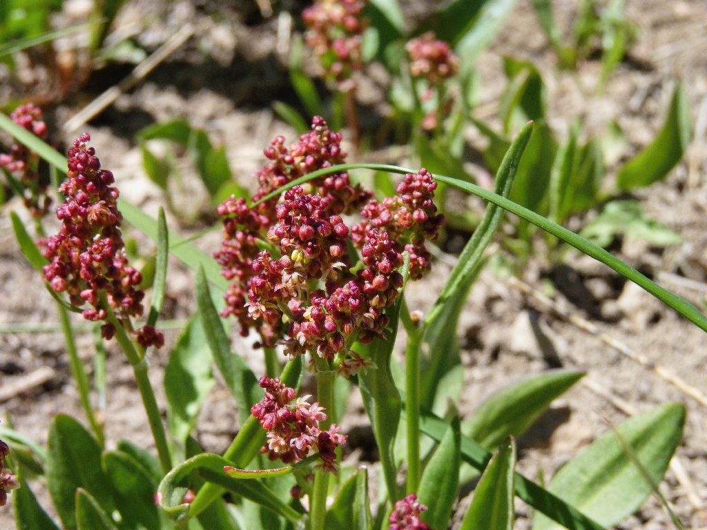
Mountain Sorrel
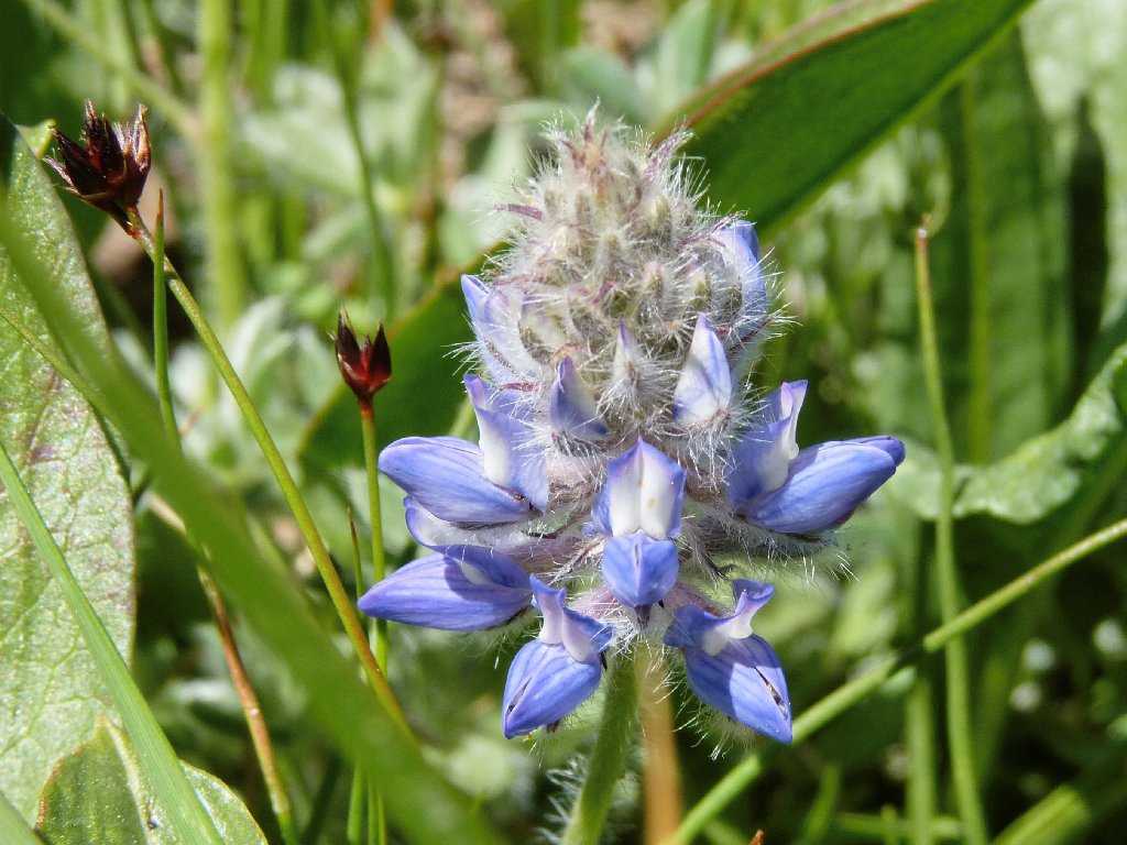
Dwarf Lupine
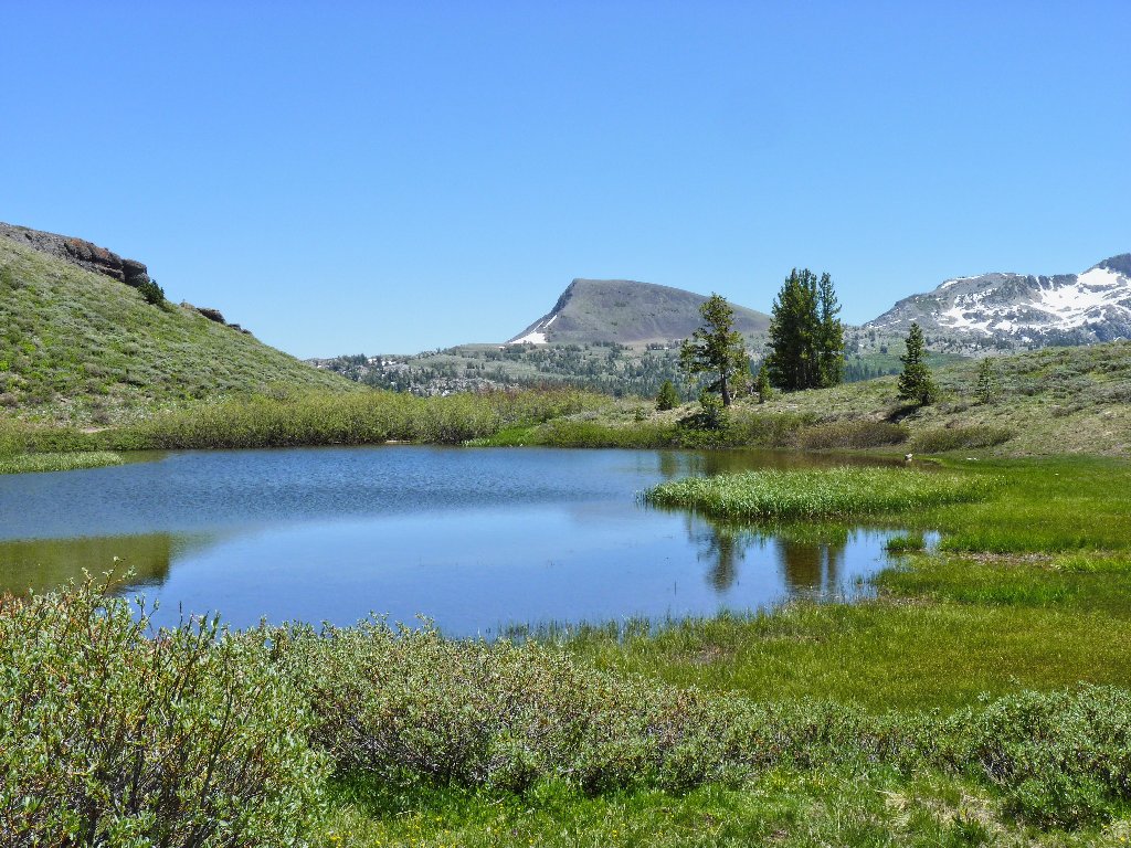
Skirting around the back side of the pond provides some new views for photos.
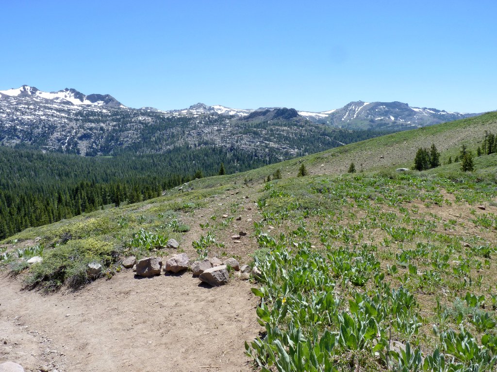
Overview of the climb
Fifteen miles to the north, Mount Tallac overlooks Lake Tahoe
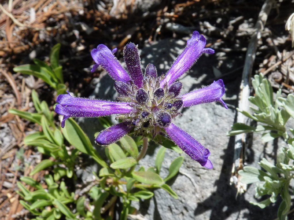
Sierra Penstemon
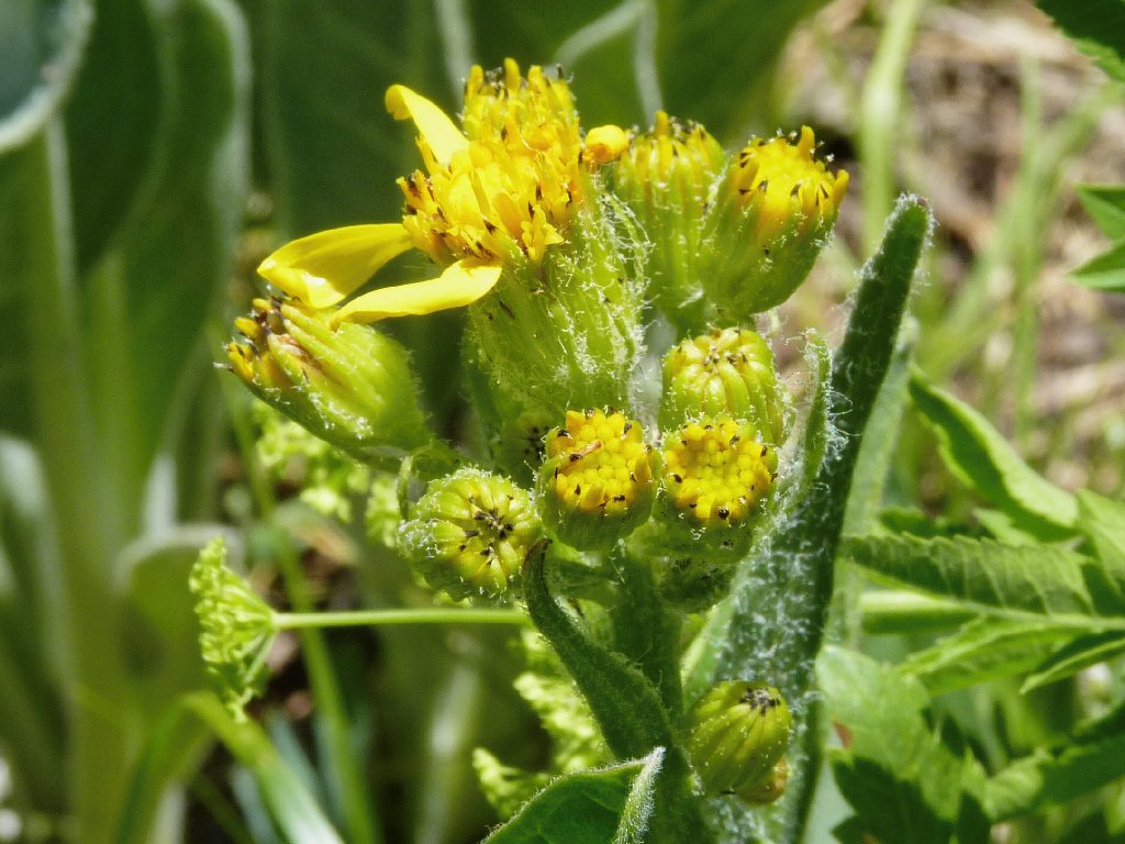
California Groundsel
Having previously bothered to observe what the junction looks like,
I know where to leave the main trail. Within ten minutes or so I
am back at my car, where the air temperature is 75 degrees.
The shortcut starts here
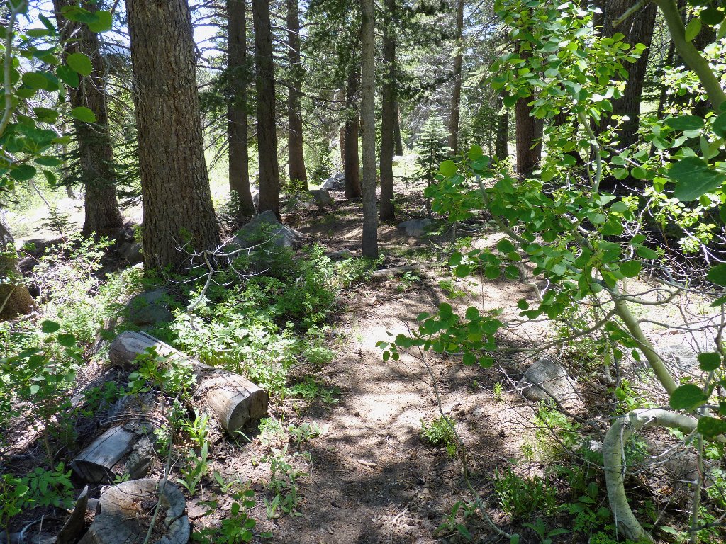
Nearing the trailhead among the aspens
§: Heat or no heat, I was not particularly weary at the
end. I certainly could have continued on the big loop up to Stevens
Peak, which would have enabled me to bag not one, but two OGUL peaks in
the process. Doing that would have necessitated a water refill from
a snow bank, but that's why I had brought along my nifty carbon-filter
water bottle. And I would have gotten a view of little Crater Lake,
which I never have seen.
Today's shortcut probably is somewhat maintained in deference to the horse
people, because the newer section of trail is not stock-friendly.
| Scenery |  |
| Difficulty |  |
| Personality |  |
| Flowers |  |
| Solitude |  |
