
Carson-Iceberg Wilderness
|
Pacific Valley Carson-Iceberg Wilderness |
October 14, 2011
It has been two weeks since my last hike. Busy, busy. Hoping to catch some fall aspen views on today's drive, I have opted for the extra mileage over to the Ebbetts Pass area.
The higher peaks are blanketed in snow; I hope that there will not be too
much white stuff on the trail. It is 61-degrees out with a slight breeze,
so I will wear a sweatshirt for a while.
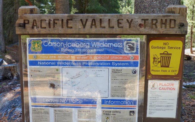
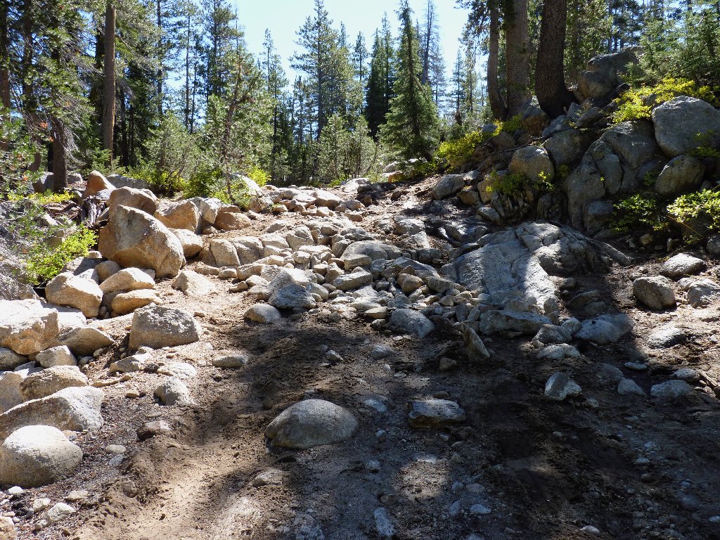
The first mile of trail is a 4WD route; a truck containing three men is parked near the end of it, just below a hideous section of road.
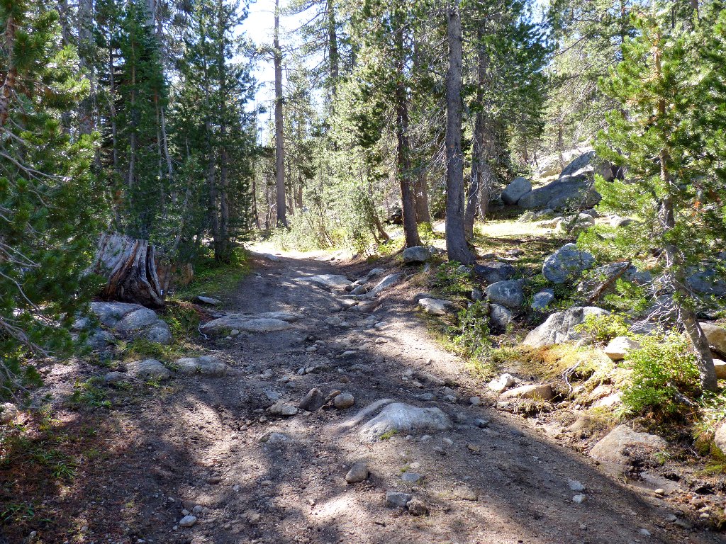
Leaving civilization behind, the route skirts Pacific Valley in a southerly direction. Presently, I encounter an unfamiliar object. I will leave the reader to guess what it is (answer later):
What am I?
No other hikers are around, which fact does not surprise me. This trail probably is lightly used even in the peak season.
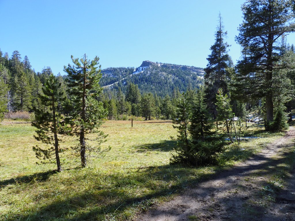
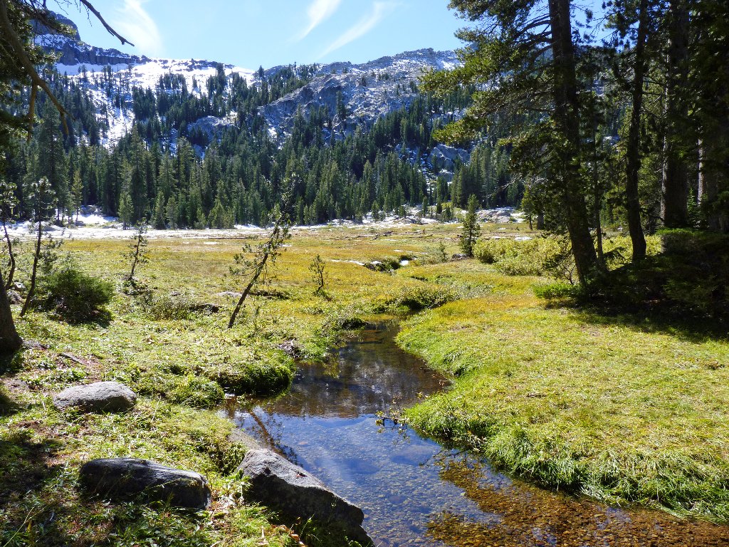
Pacific Valley
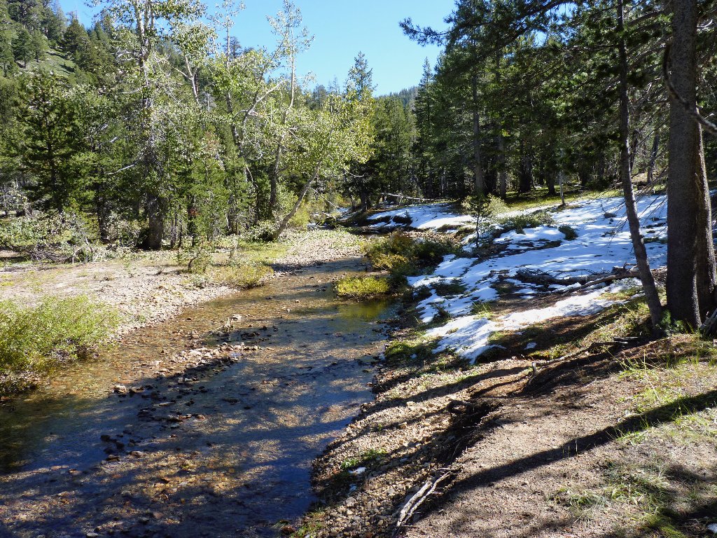
Pacific Creek
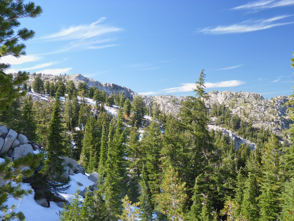
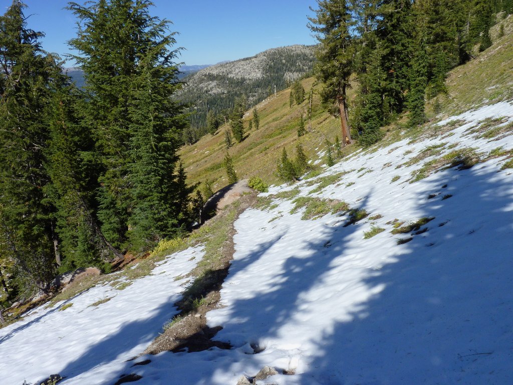
There is some snow around, but not enough to be a problem yet.
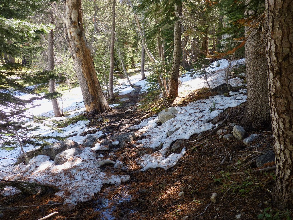
Wet, but not unpleasant
As the forest clears, I get a first good look at Bull Run Peak. My original goal was to climb it; but the route looks dangerously slippery today, and the snowpack is a good excuse for being lazy.
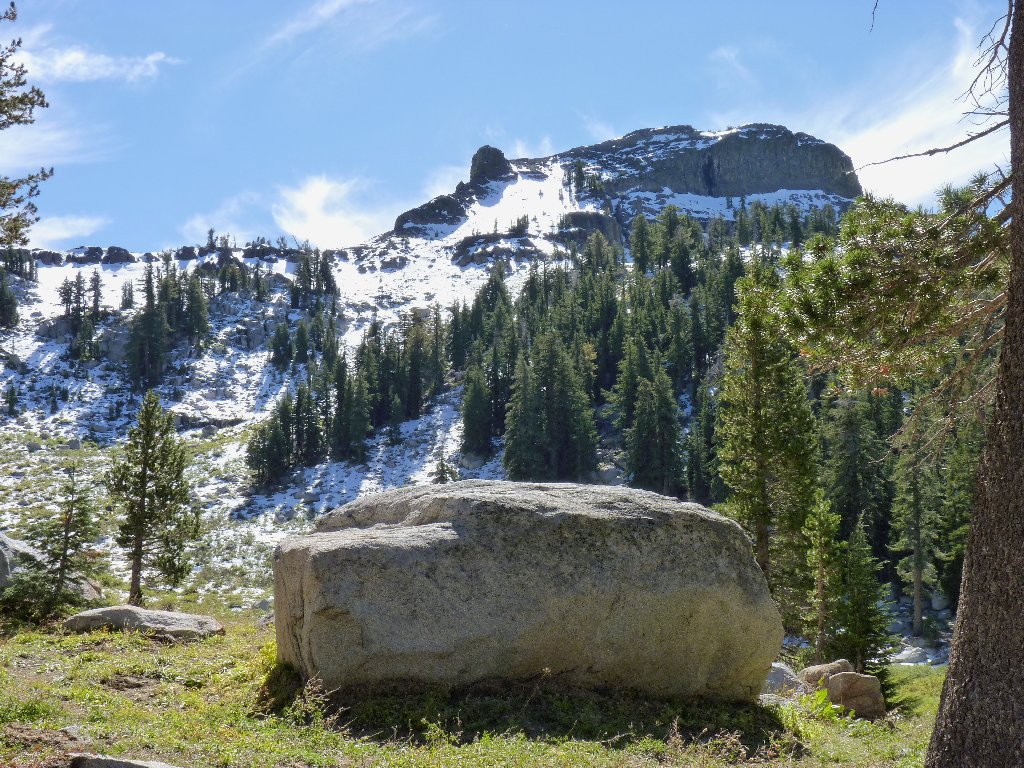
Bull Run Peak, 9495'
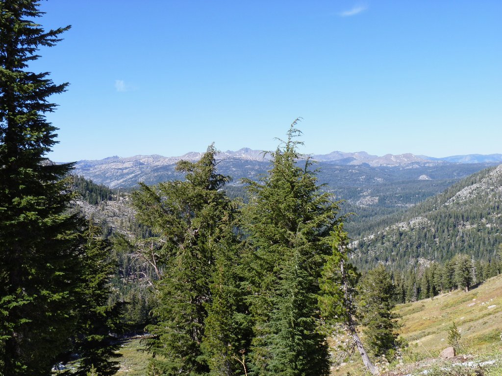
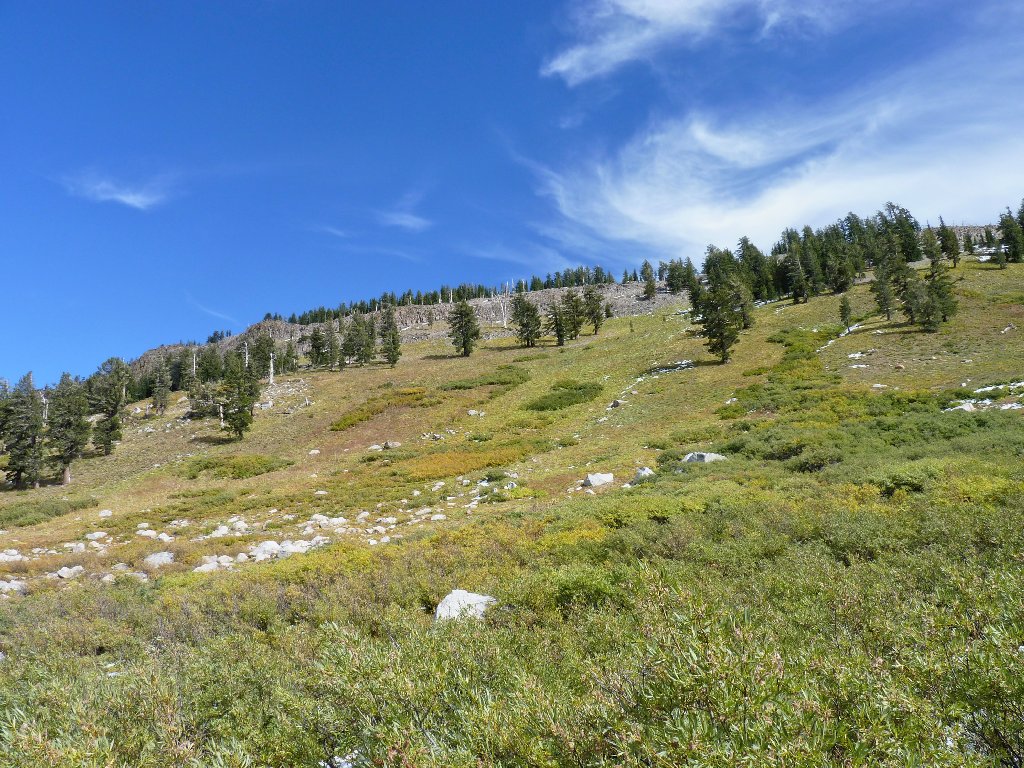
Crossing through a spring-fed meadow that doubtless was a wonderful garden two months ago, I scale the last few hundred feet up the ridge with the help of many rest stops. Two weeks of sedentary existence, and already I am out of shape. At the unnamed pass I am treated to a pleasant but unremarkable view southward.
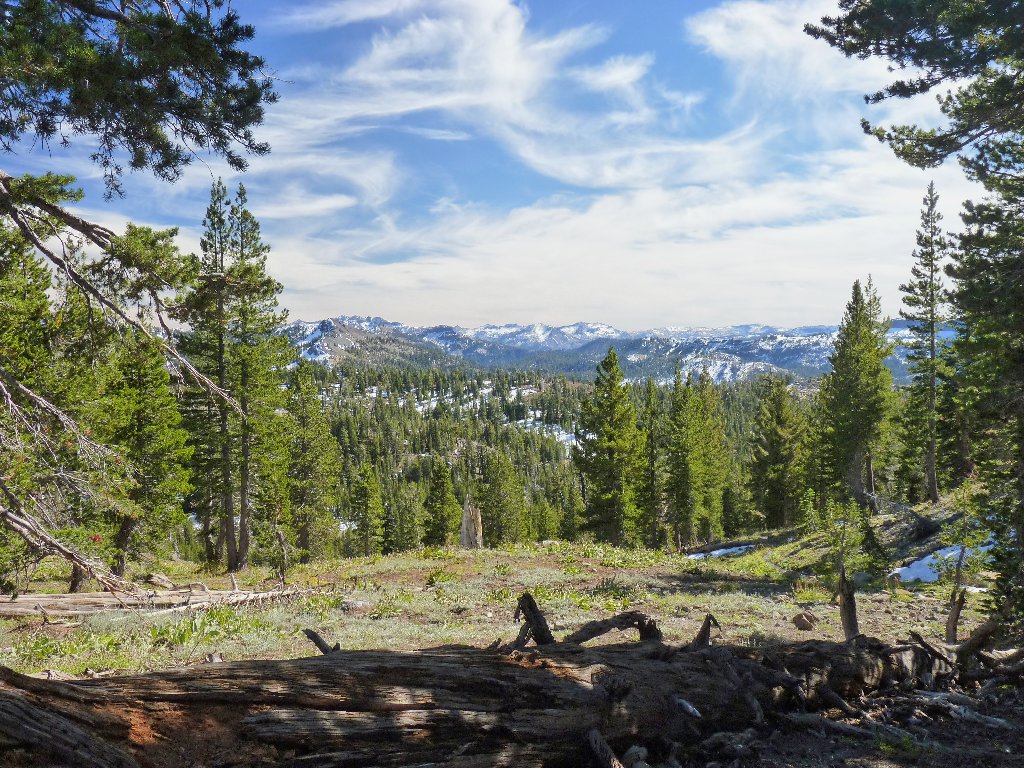
The peaks of Sonora Pass
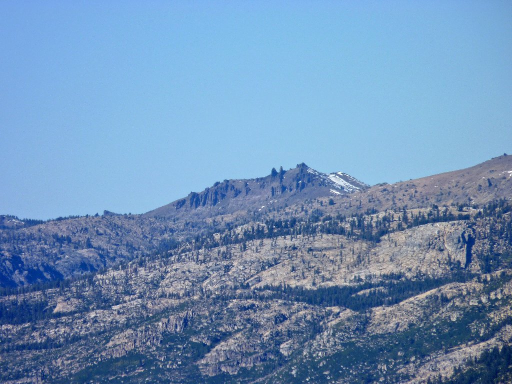
I cannot make out the summit of Bull Run Peak from here. Being more tired than expected, I am disinclined to do a lot of boulder hopping just for a peek at the hilltop. After munching some gorp, I do what I can with the camera.
The mountain top is just out of sight
The western side of Pacific Valley
Looking north
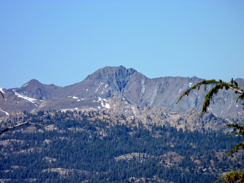
Telephoto views of the northern peaks
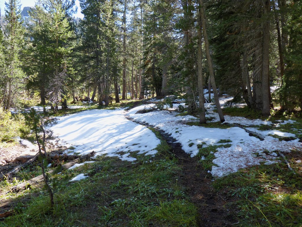
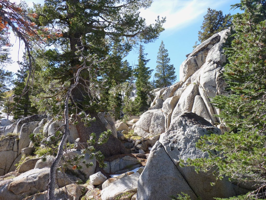
It is time to go. The occasional snowbanks on the trail are easily handled. I find that getting down this first steep hill is easier off the trail, which is comprised largely of rocks. The willow thicket and wet spots near the spring pose no problem, either.
Starting back
Eastern canyon wall
Tight squeeze
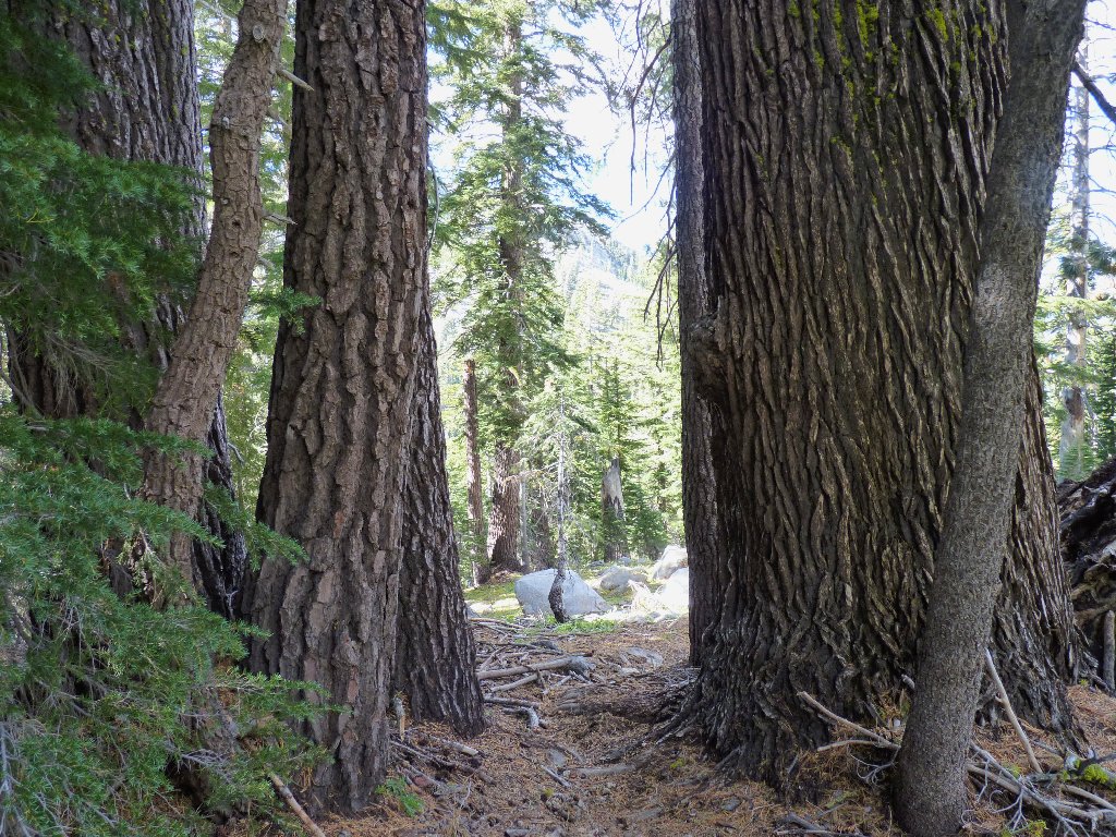
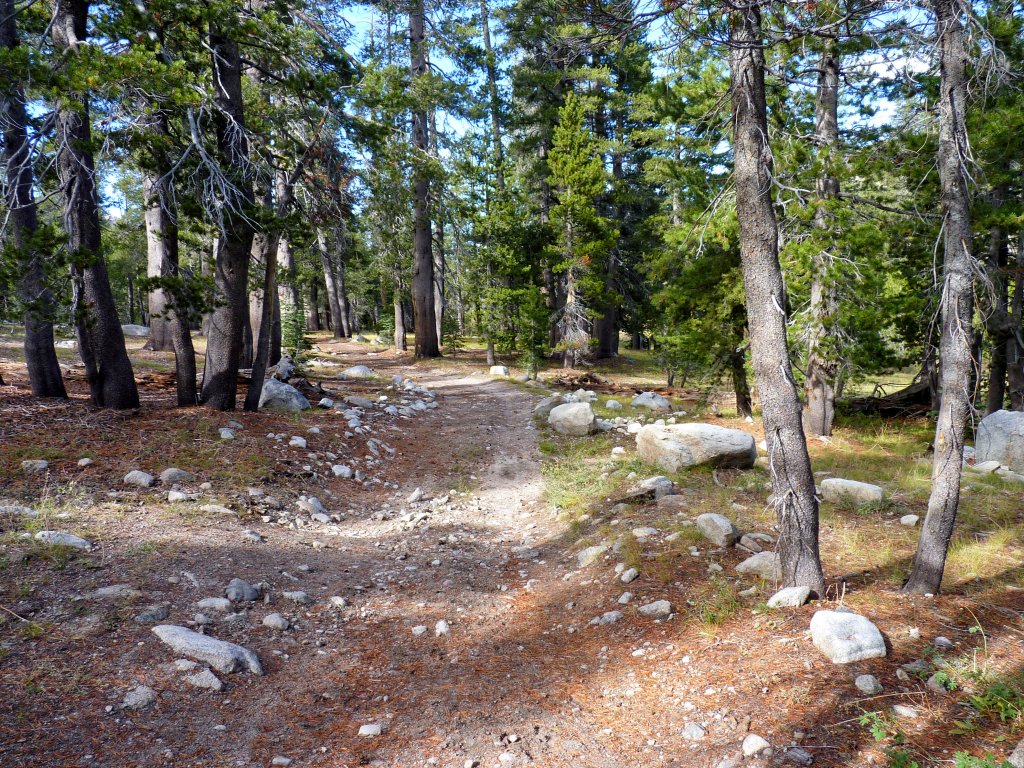
Back down in the forest, the path is not as well-defined as it might be,
especially in these wet conditions. I lose the trail several times, but
that is not a problem. Continuing downhill on the path of least resistance
guarantees that I will re-unite with the path eventually.
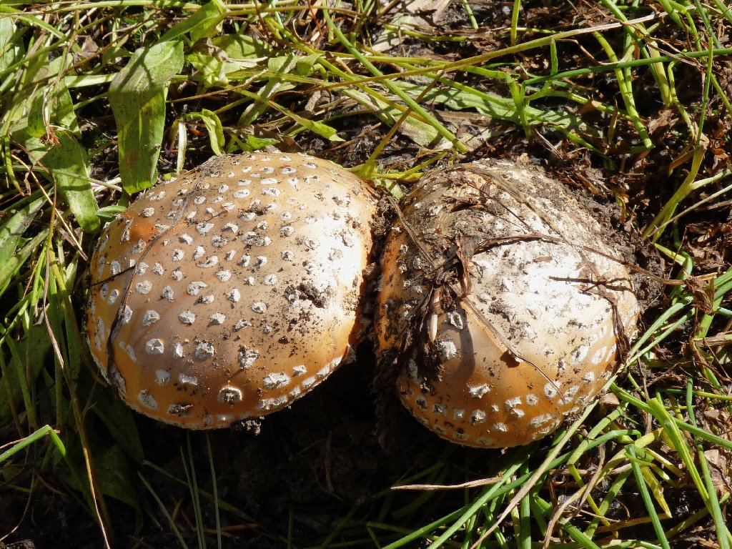
I'm a Fly Agaric Mushroom!
Oh, no! It's another guy with binoculars and a big gun. And after promising myself over at Hunewill Lake that I would do my homework and stay out of places that are open for deer hunting.
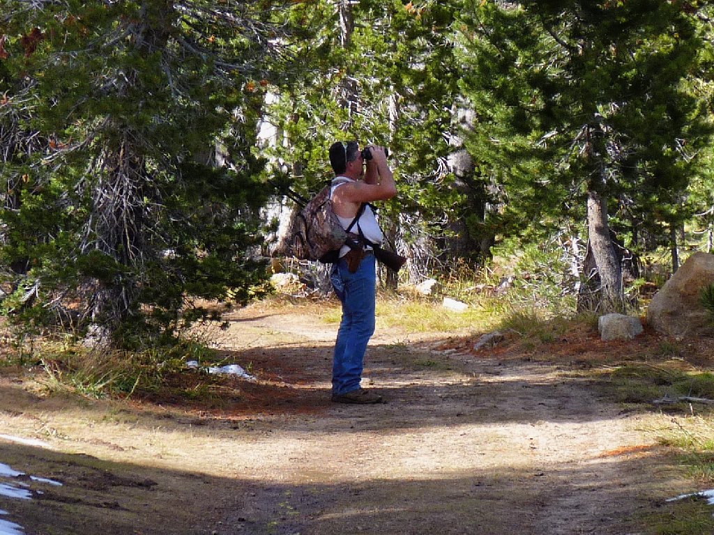
Scoping out the territory
It isn't much farther now, and I will be glad to be finished with this trail. Having warmed up to 65° at the finish line, the weather was very nice today.
Nearing the trailhead
§: This was not the most exciting walk. In all fairness,
however, it would have been a much nicer outing in August, when I could
have scaled the peak and reveled in the giant garden just below it.
| Scenery |  |
| Difficulty |  |
| Personality |  |
| Solitude |  |
