
Hoover Wilderness
|
Hunewill Lake Hoover Wilderness |
September 29, 2011
Bad weather is supposed to arrive tomorrow in the Eastern Sierra; and today
isn't so great, either. The sky is crummy-cloudy, and there seems
to be an inversion keeping the smog close to the ground. Having already
canceled tonight's motel reservation, I nevertheless must do something to
justify what will become a 450-mile drive by day's end.
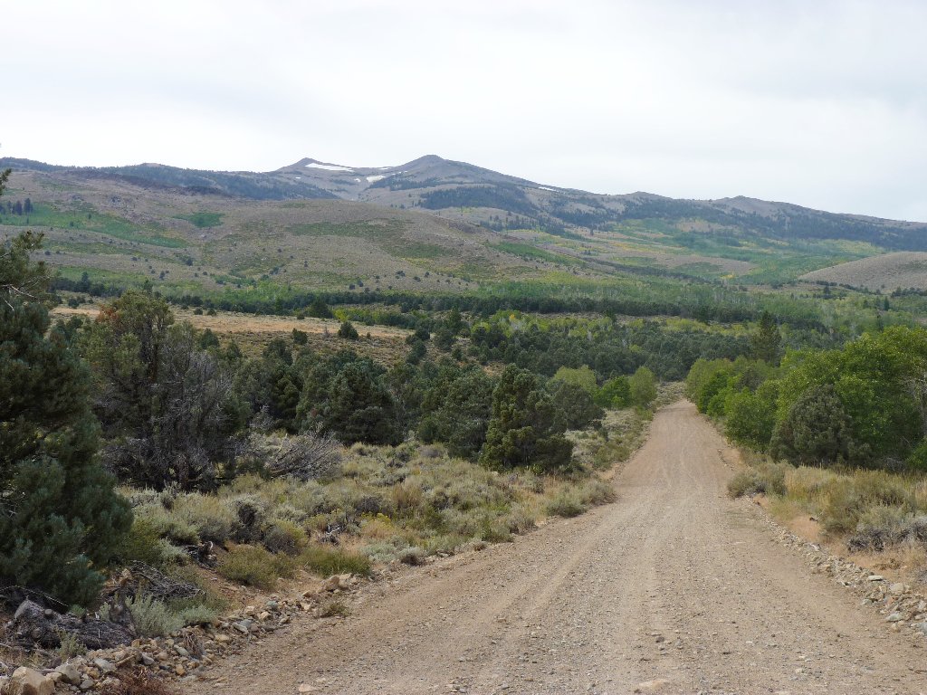
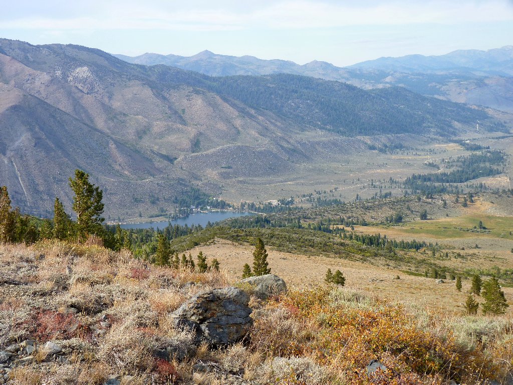
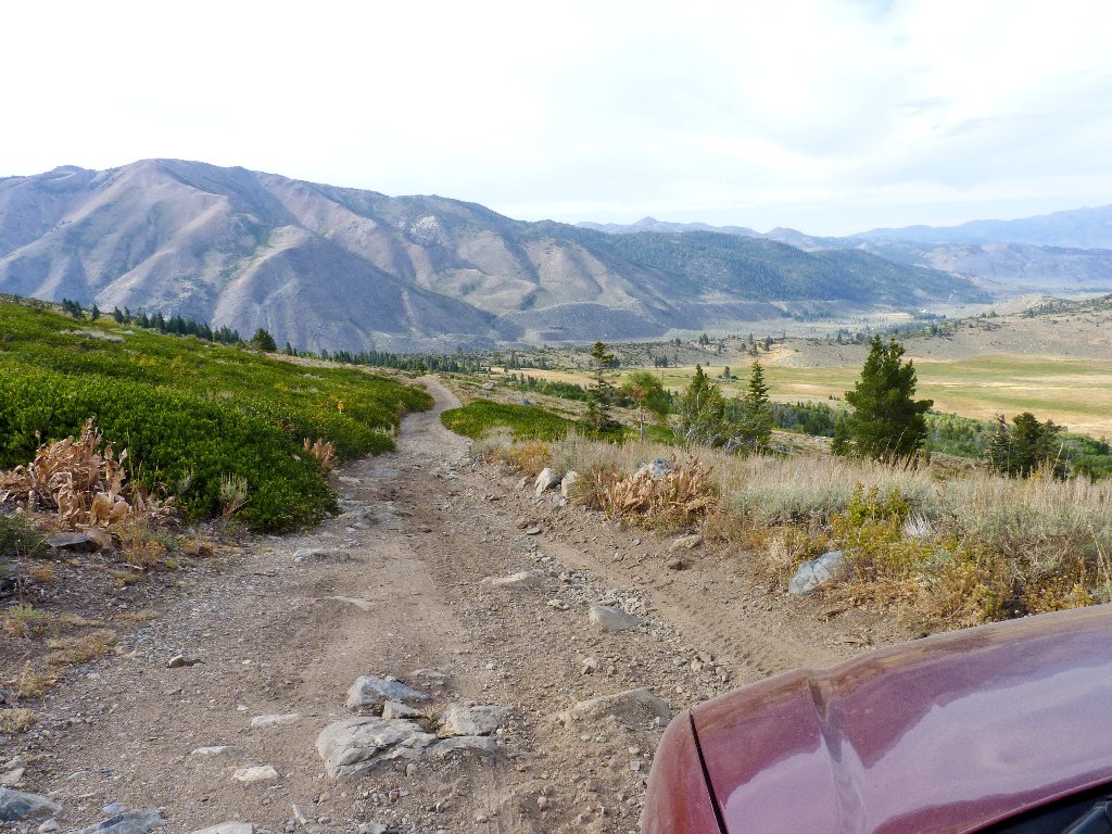
Heading up Summers Meadows Road
The principal trailhead for the Tamarack Basin is at Twin Lakes; unfortunately, that route involves a climb of more than 3,000 feet. My map suggests that I can cut off more than half the elevation gain by driving up this dirt road as far as possible, so here I am. After negotiating some rough going, I reach a place involving big tree roots that my Outback cannot handle comfortably; so I must back down a couple hundred feet to a suitable parking spot, which always is a lot of fun.
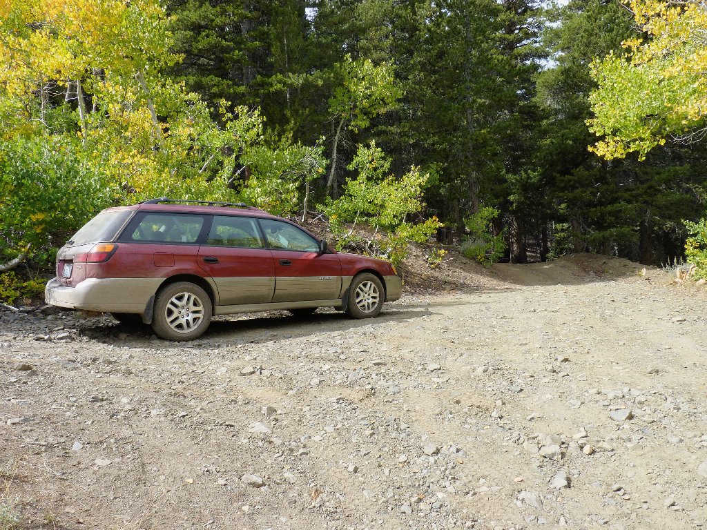
End of the road
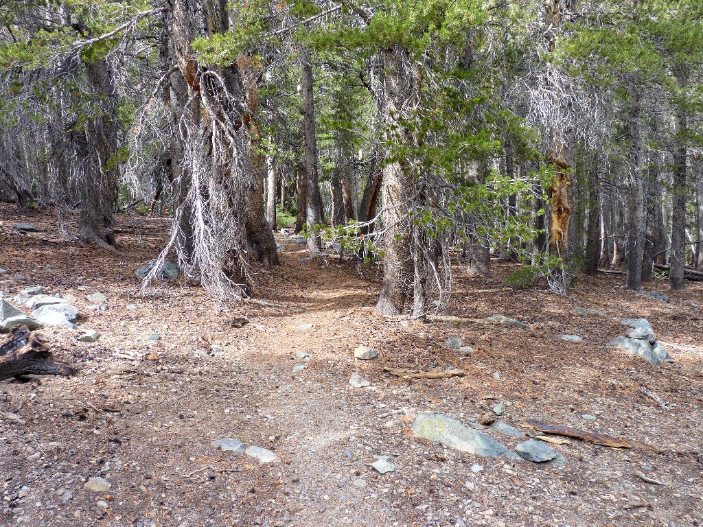
Into the forest
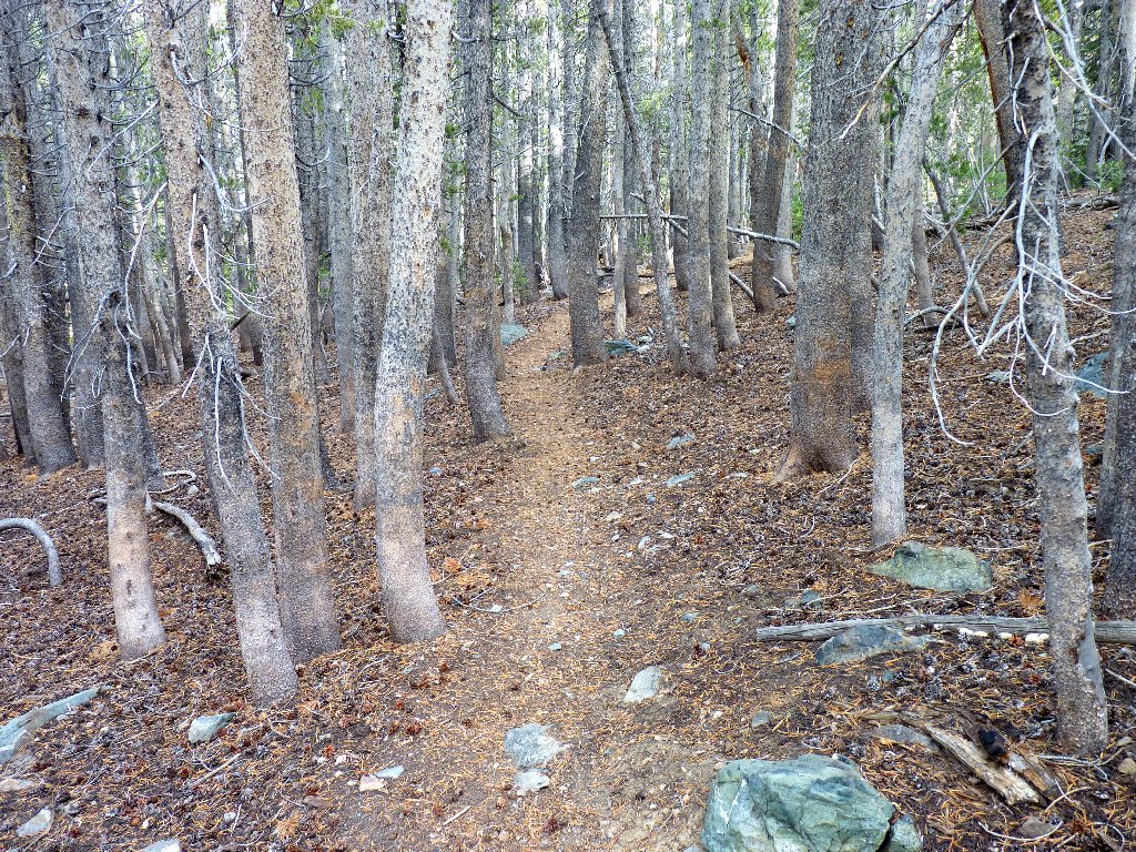
After a quarter-mile of walking up a very steep road to a small unsigned parking area, I am pleased to see a trail leading into the thick forest, because I am going that way regardless. Soon the trees give way to open ground. Veering left up the hill, the path heads into the Hoover Wilderness. I had expected to encounter a junction with the trail from Twin Lakes by now, but none has appeared.
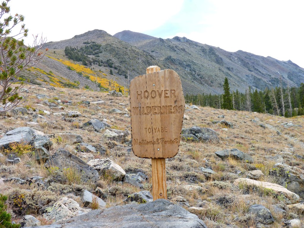
My seventh visit to this wilderness
Sawtooth Ridge is just out of sight around the corner
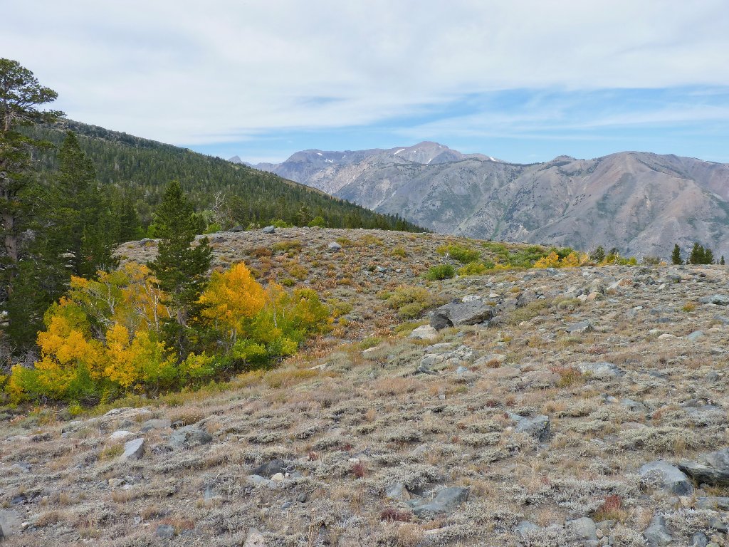
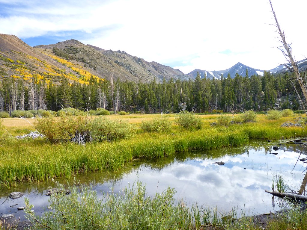
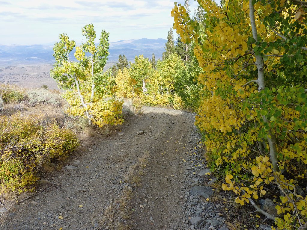
Skirting the east side of an unnamed pond, the path heads directly for a yellow aspen grove on the hillside. Oddly enough, on the drive over here, none of the many aspens I saw had yet begun to turn color.
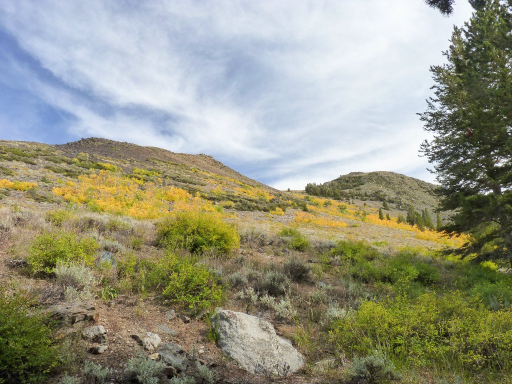
Fall has arrived here
A pleasant trail through the forest
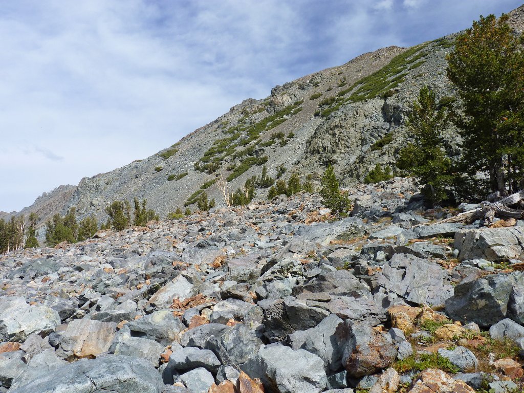
To my left is a feature marked in capital letters on the map as Monument
Ridge. The path stays just clear of the talus slope that seemingly runs
the entire length of the steep hill. At some point, the trail seems to
disappear completely. I cross the tiny creek so as to avoid climbing in
the rocks. Although it looks bad ahead, by veering ever farther to the
right I do find a way up the moraine on relatively solid ground with a
minimum of boulder-hopping.
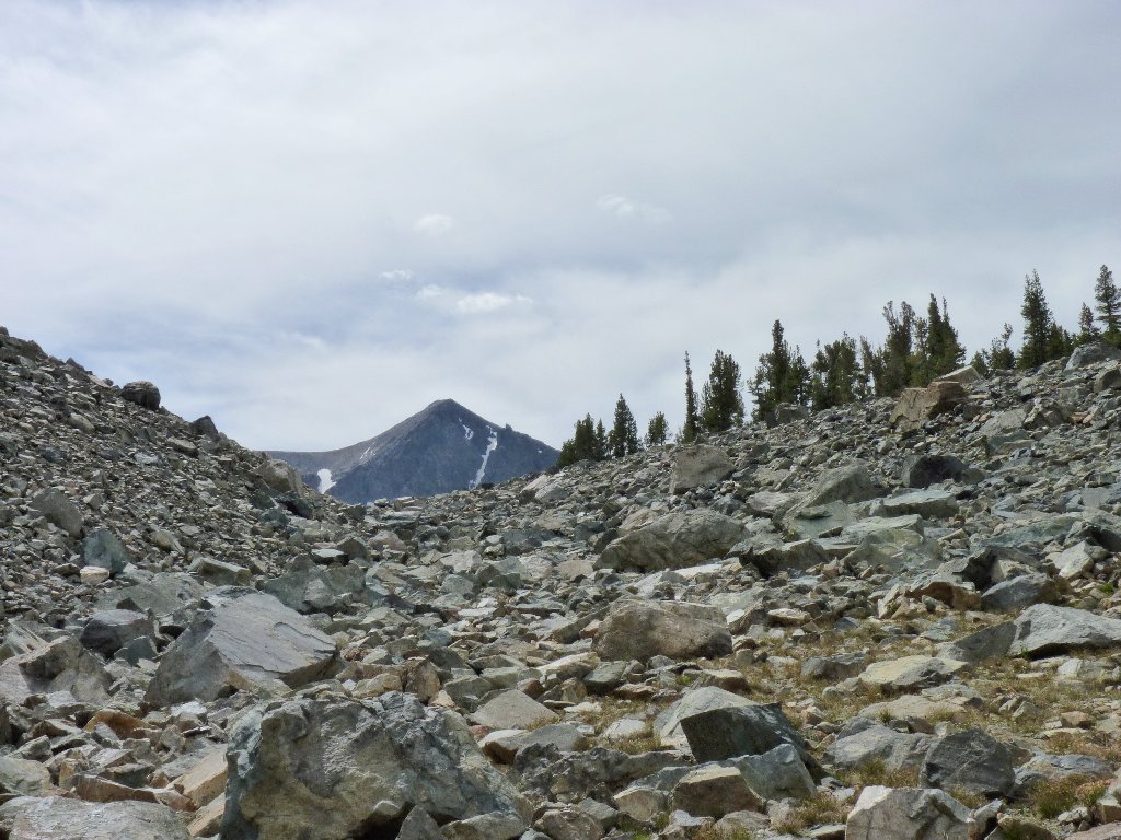
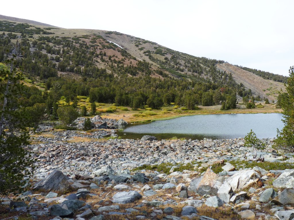
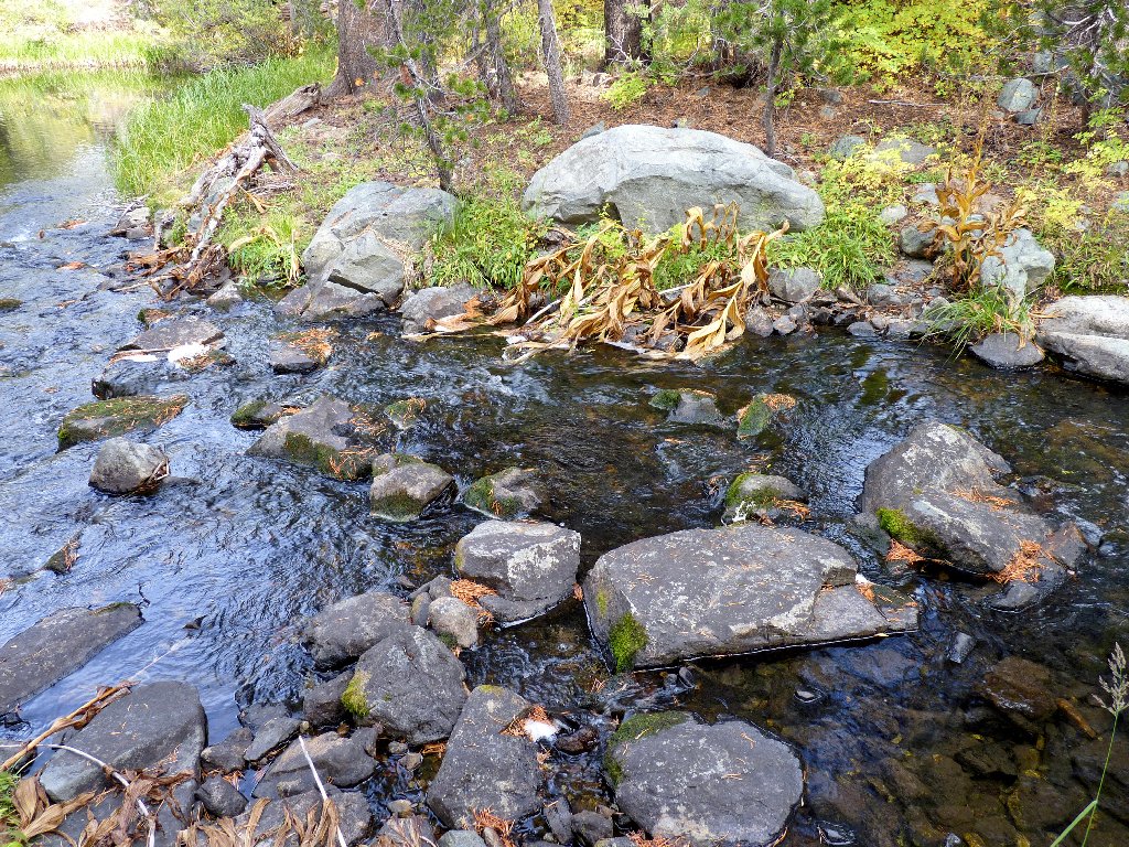
The Tamarack Lake Moraine
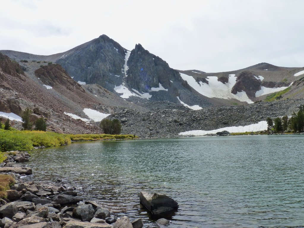
Behind the rock pile is beautiful Tamarack Lake. The peak at the end of the canyon is deserving of a name, yet doesn't have one; I guess it's just another bump on Monument Ridge.

Tamarack Lake, 9630'
In order to proceed farther, I must either make a lengthy detour around the
far side of the lake, or traverse the hundred-foot-wide section of talus
that spills into the water. I opt for the shorter way.
Looking northward
My GPS says that it is nearly another mile to the next lake, plus another
500-foot climb. There is no official trail from here, and I can
find no hint of one either.
Getting higher
Monument Ridge is the eastern slope
Again, it is a matter of guessing a route that will present the fewest obstacles. Near the top of the moraine, it is impossible to proceed without finally scrambling over another big jumble of rocks; but the reward is worth the effort.
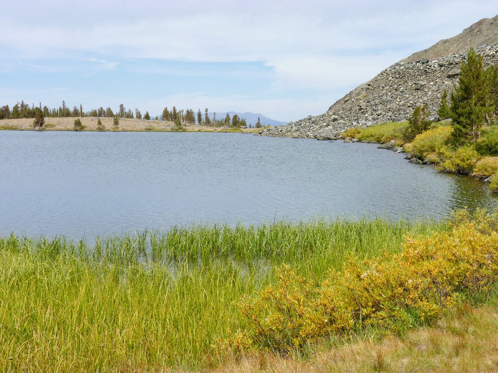
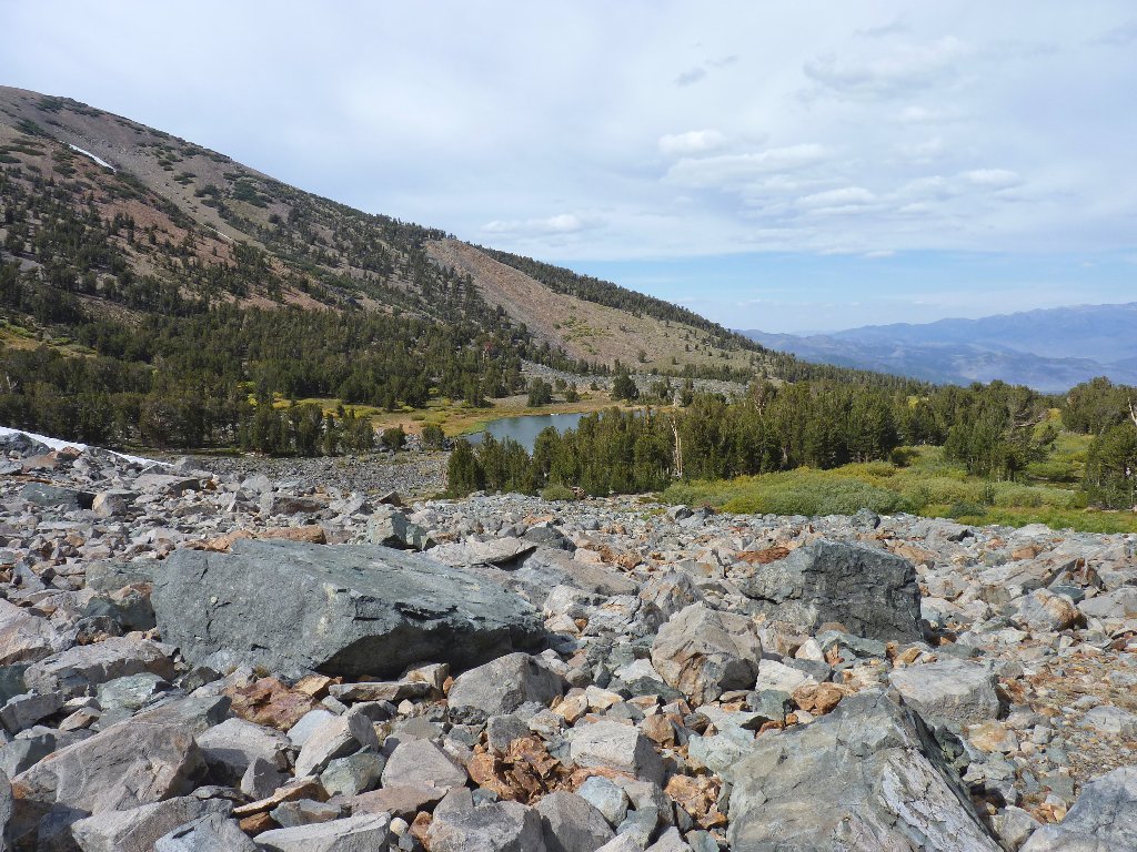
Hunewill Lake, 10110'
This body of water looks just like the other one, only closer to the mountains. It also is only half the size of Tamarack Lake. For the record, Hunewill is pronounced, "honey will".
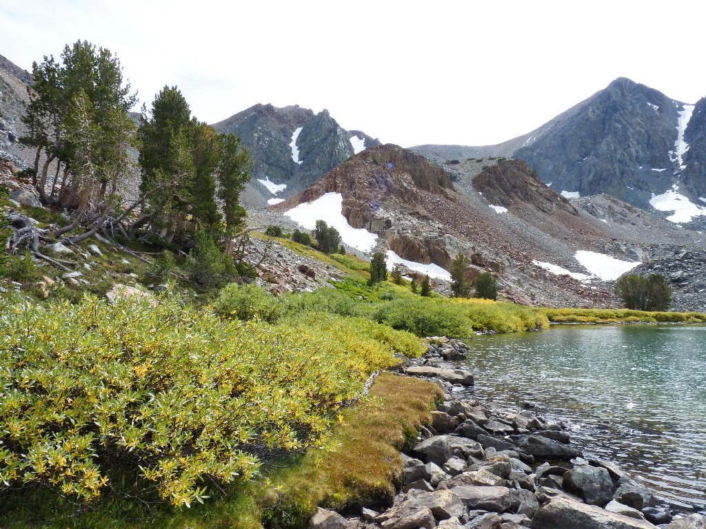
A nice lunch spot on the soft grass
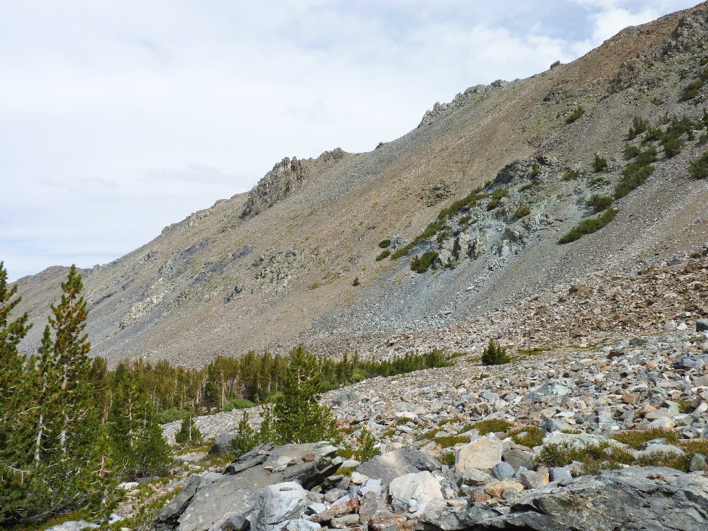
It was my original goal to continue up to a reasonable high point on
Crater Crest, because I know that from there I would have a superlative
head-on view of Sawtooth Ridge, including Matterhorn Peak and at
least four glaciers. After all, I summited Half Dome just last week;
so I ought to be able to do anything, right?
Wrong. All this rocky terrain is taking a toll on my feet, and it doesn't look as if the going would particularly improve on the high slopes. Also, the climactic scene just wouldn't be up to par in this weather. With a somewhat heavy heart I abandon that plan, for it was the primary motivation for coming here at all.
The summit of Crater Crest is another thousand feet up
Looking northward again
Since there was no trail on the way up here, it hardly could be worse to go down a different way, right? Wrong again. By staying west of Tamarack Creek, I find myself descending ever deeper into a giant boulder field.
The easiest walking is up in those trees
The going is becoming ever rougher, but I need to get down somehow to that other lake beyond the pines.
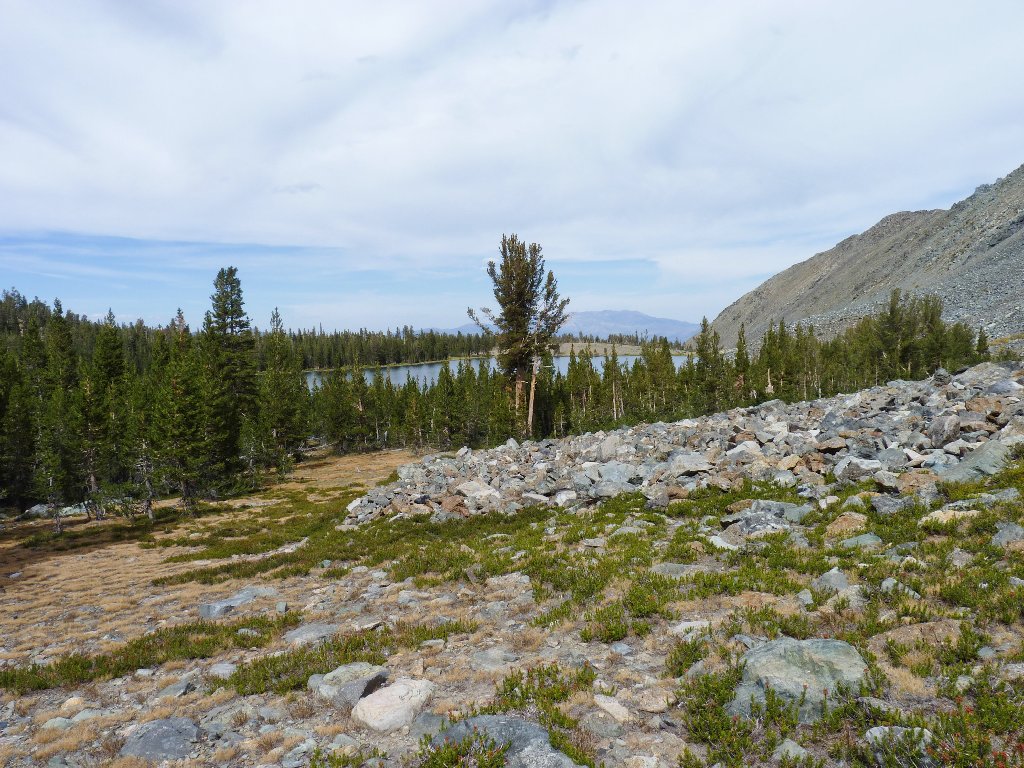
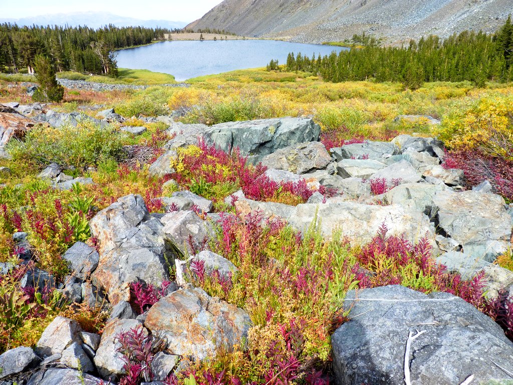
The Hunewill Lake Moraine
At least it looks like a lake, but perhaps it is a pond. That would explain the lack of a name on the map, but it would not explain the difference between a lake and a pond. There being no clear definition (and none is possible), my general rule is that if it looks as if it could or will dry up, then it's a pond.
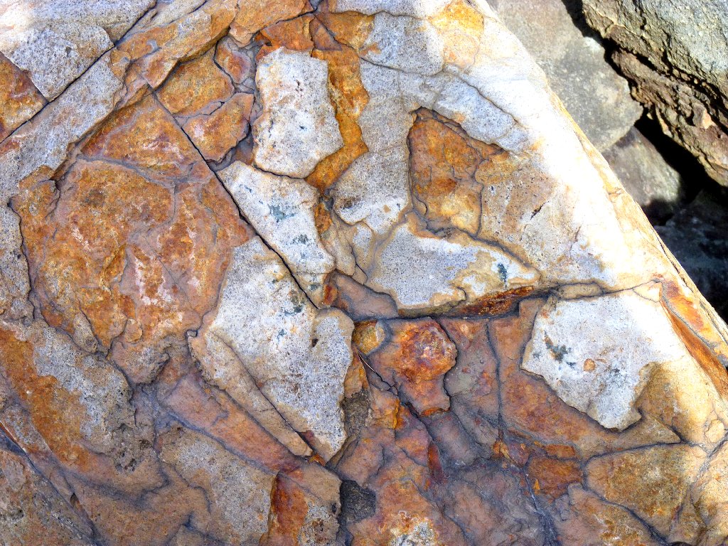
Interesting rock
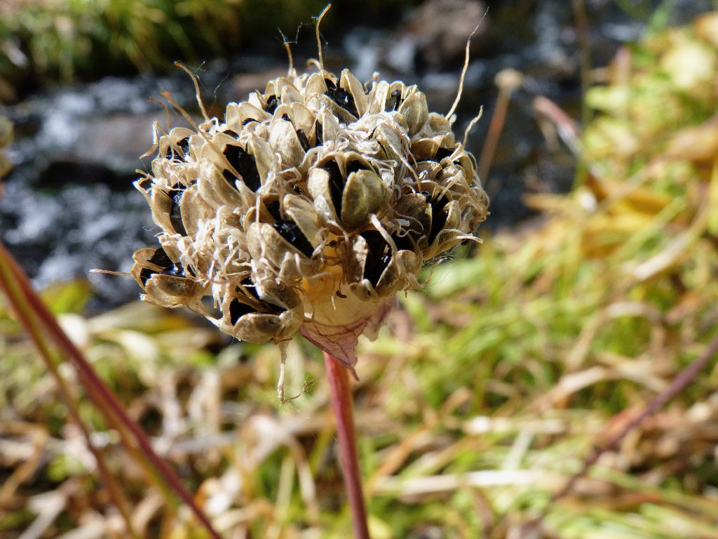
The Wild Chives seeds are ready to drop
Being close enough for a photo of the little lake now, I temporarily am able to steer clear of the remaining talus. The chaos returns with a vengeance, however, near the western shore of Tamarack Lake.
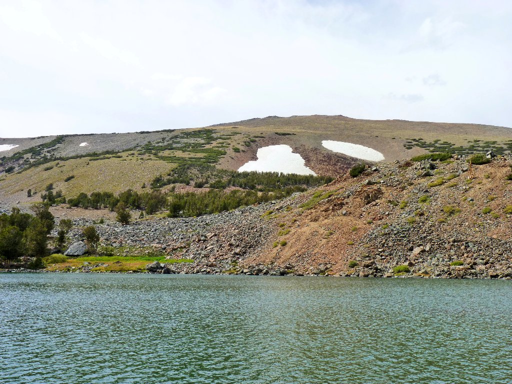
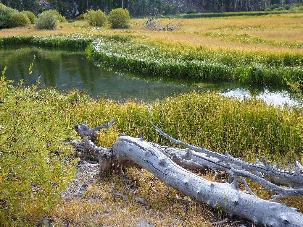
No-Name Lake at 9985'
There is nothing for it but to balance my way through the jumble for
many hundreds of feet, trying to step only on the flattest rocks so as not
to irritate my poor feet further. When the boulders thin out, there
are willow thickets and wet areas with ankle-twisting holes to deal
with. There always is time for more photographs, however, including
my favorite shot of the day:
A rock garden enhances Tamarack Lake
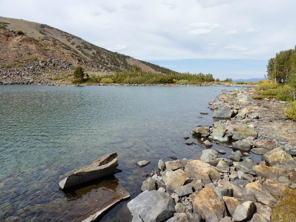
Once I near the shore of the big lake, the rock dissipates. In a couple of spots, there actually is some soft ground to walk on. I stop briefly where the creek meanders through a pretty meadow, but the local flies are so bothersome that I do not tarry. Knowing that a real trail lies over there beyond those trees, I cross the creek and head in that direction.
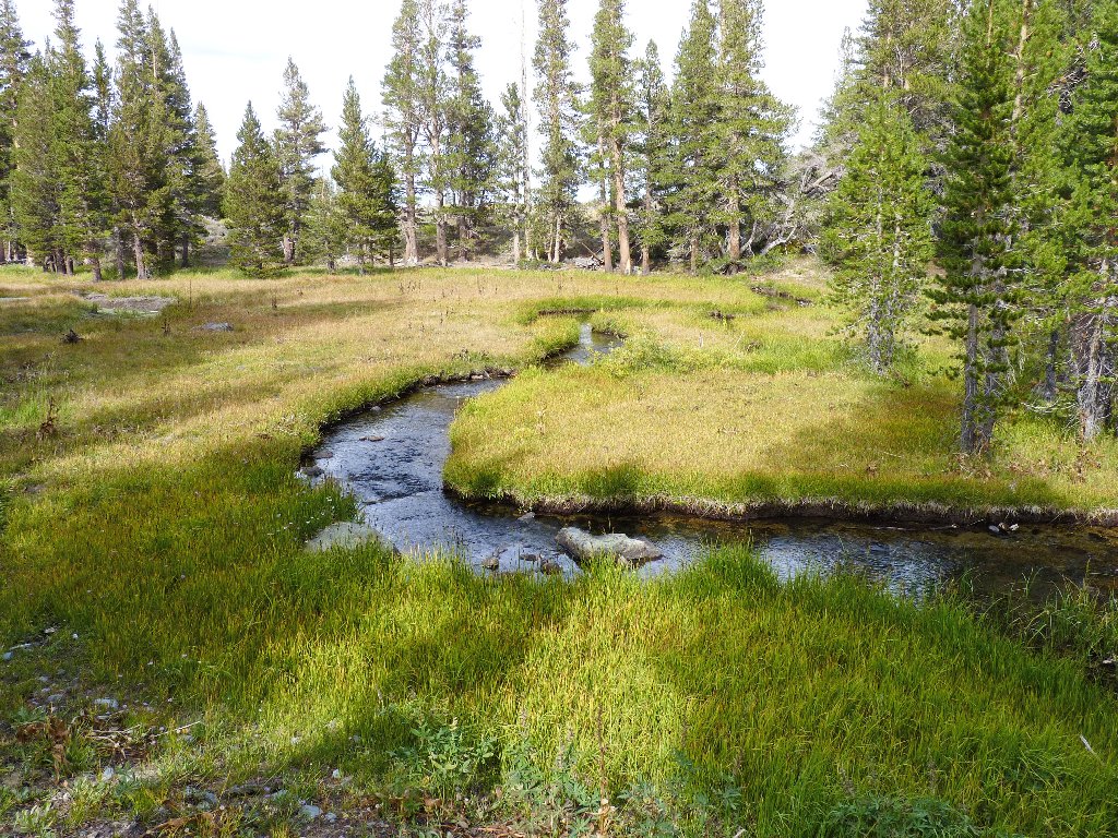
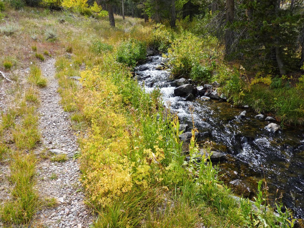
Tamarack Creek
Looking back
The crossing
Out of the forest now, I encounter a maintained path sooner than expected; but it's not the one that I was using earlier, which is strange. I follow it northward until it also dissipates at a meadow. Veering west through the marsh and across another creek accesses the original route.
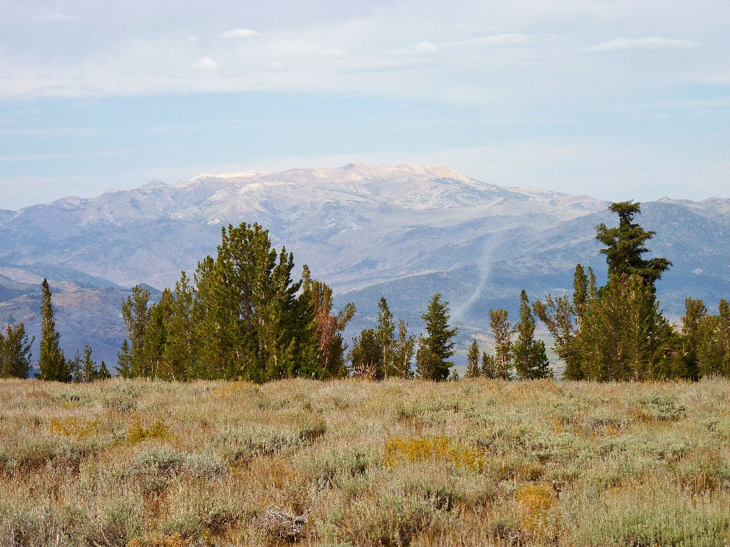
The Sweetwater Range north of Bridgeport
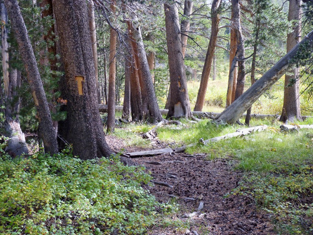
Freshly cut tree blazes are rarely seen these days
Back at the big pond, the sun is low enough in the sky to provide some decent backlighting. It is quite pleasant around here right now.
Last look at the Tamarack Basin
My reverie is interrupted as I near the wilderness border. A couple of nearby mule deer scamper away; moments later an armed hunter appears, walking toward me. Horrors! What is he doing here, anyway? Isn't hunting illegal in wilderness areas? Is not the discharge of a firearm equally unlawful?
When the two of us pass on the trail, the man says something about knowing that someone must have frightened the deer, and I grunt an assent. As I cross the wilderness border, the guy's binoculars are trained upon the hillside over which the two animals have safely disappeared.
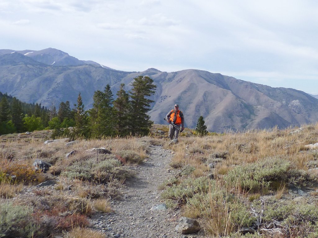
His gun is bigger than mine
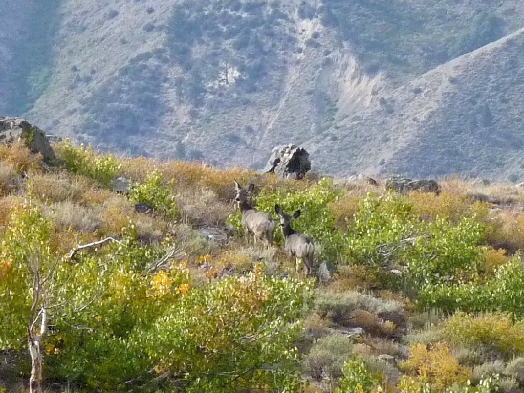
These guys got away
Having not seen any other hikers in this area today, I would have preferred not to have seen this person either. Oh well, I haven't far to go now that I can see Bridgeport Valley spread out before me.
Down in front is the popular Hunewill Guest Ranch. It was started 150 years ago by Napoleon Bonaparte Hunewill and his wife Esther, and it remains in the family today.
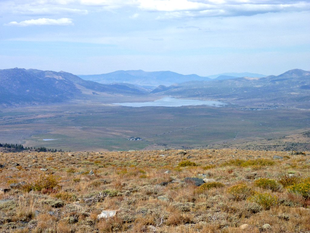
Hunewill Ranch, Bridgeport Reservoir, and Bridgeport Township
The water from that reservoir flows down the East Walker River to feed the farmlands of Yerington and Fallon in Nevada. That's where most of our favorite cuts of beef are raised.
Lower Twin Lake is more than 2,000 feet below
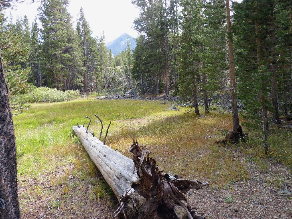
After a couple of switchbacks I am back in the forest, then on the roadway that leads to the car.
Just a quarter of a mile from the parking spot is a sign pointing to the trailhead. It was missed earlier due to my having taken a shortcut that proved not to be the friendliest way to go.
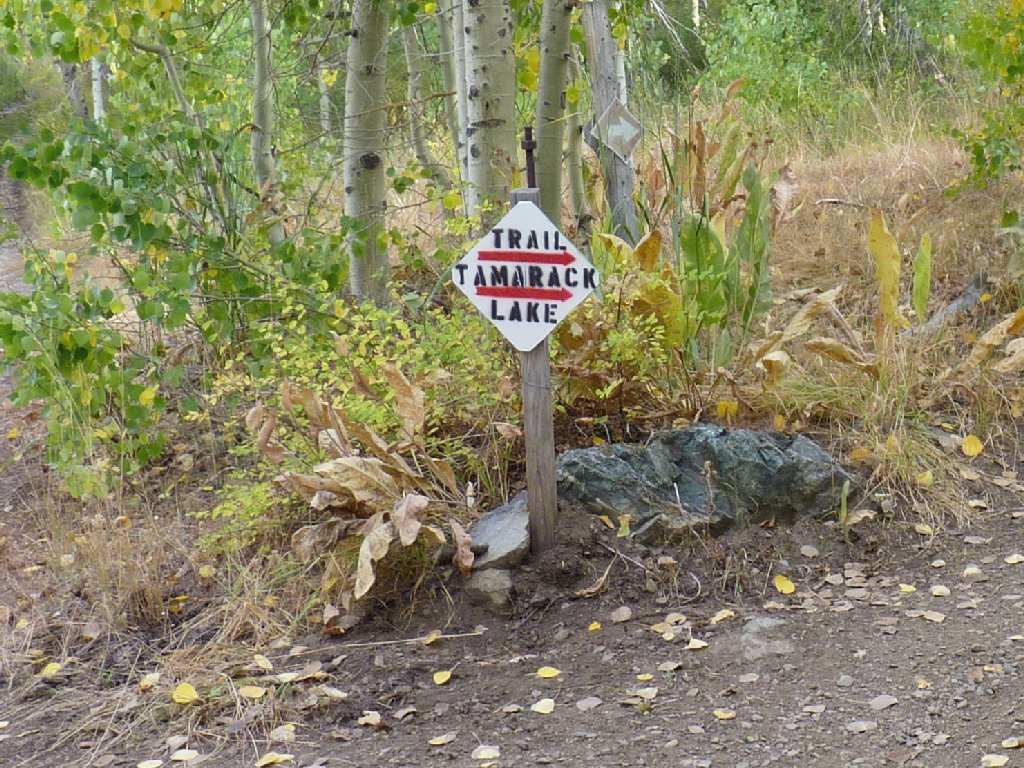
Elusive trailhead sign
One of the better sections of road
§: Today I clambered over what is by far my single-day-record
number of talus boulders. The smartest thing I did was to have worn my
most protective boots. I cannot recommend the Tamarack Basin for
cross-country exploration.
Nor is it a good place to be skulking through the back woods in darkly colored clothing during hunting season. Even though online sources are quite vague on the issue, subsequent research has revealed that said activity is allowed in the Hoover Wilderness, which seems somehow wrong; but that's the way it is. (Actually, federal regulations regarding firearm usage in wilderness areas seem blatantly contradictory to California state law.)
It's no wonder that other hikers were absent! In the future, I must do more homework before choosing a walk at this time of year. It is my fond desire never again to meet someone on the trail who is wearing a bright orange vest and carrying a lethal weapon. Life is too short as it is.
That having been said, the walk was pleasant, at least as far up as Tamarack Lake. Don't hope for any good swimming there, though, unless the basin's snowbanks already have melted.
| Scenery |  |
| Difficulty |  |
| Personality |  |
| Adventure | |
| Solitude |  |

Shortly after posting this journal, I received an email from a concerned local. Because he enjoys the relative solitude of the Tamarack Basin and would like to keep it that way, he asked whether I would decline to publish this article.
Well, whereas I appreciate the man's love of a favorite haunt, my mission is to promote hiking in new places, not to suppress it. Besides, the routing information on this page is readily available at the Bridgeport Ranger Station. In any case, I would be surprised (and delighted) to learn that visitation had increased at all as a result of my literary efforts.
Sorry, fella, but it's not your place; it's ours.
