
Shasta-Trinity National Forest
|
Mount Eddy Shasta-Trinity National Forest |
September 16, 2011
This trailhead is 250 miles from home, The drive takes only four hours, however, including a stop in Redding to pick up hiking partner Diane.
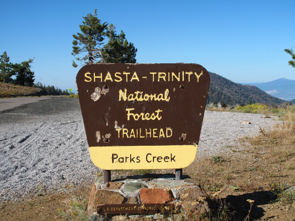
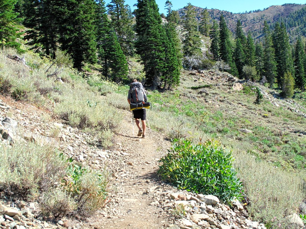
At the trailhead
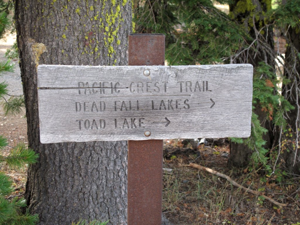
There is a shortcut into this area just down the road. It would save a mile of walking each way but also would necessitate an additional 500 feet of climbing, so we opt to utilize the Pacific Crest Trail.
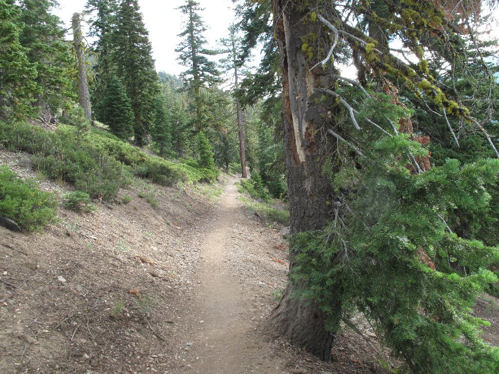
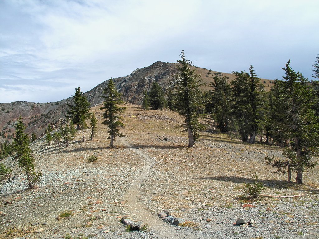
Easy walking on the PCT
Harvest Brodiaea
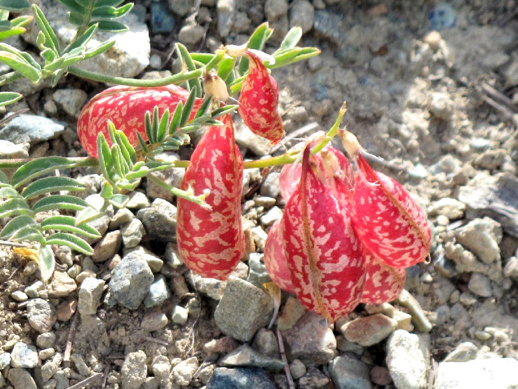
Spotted Locoweed
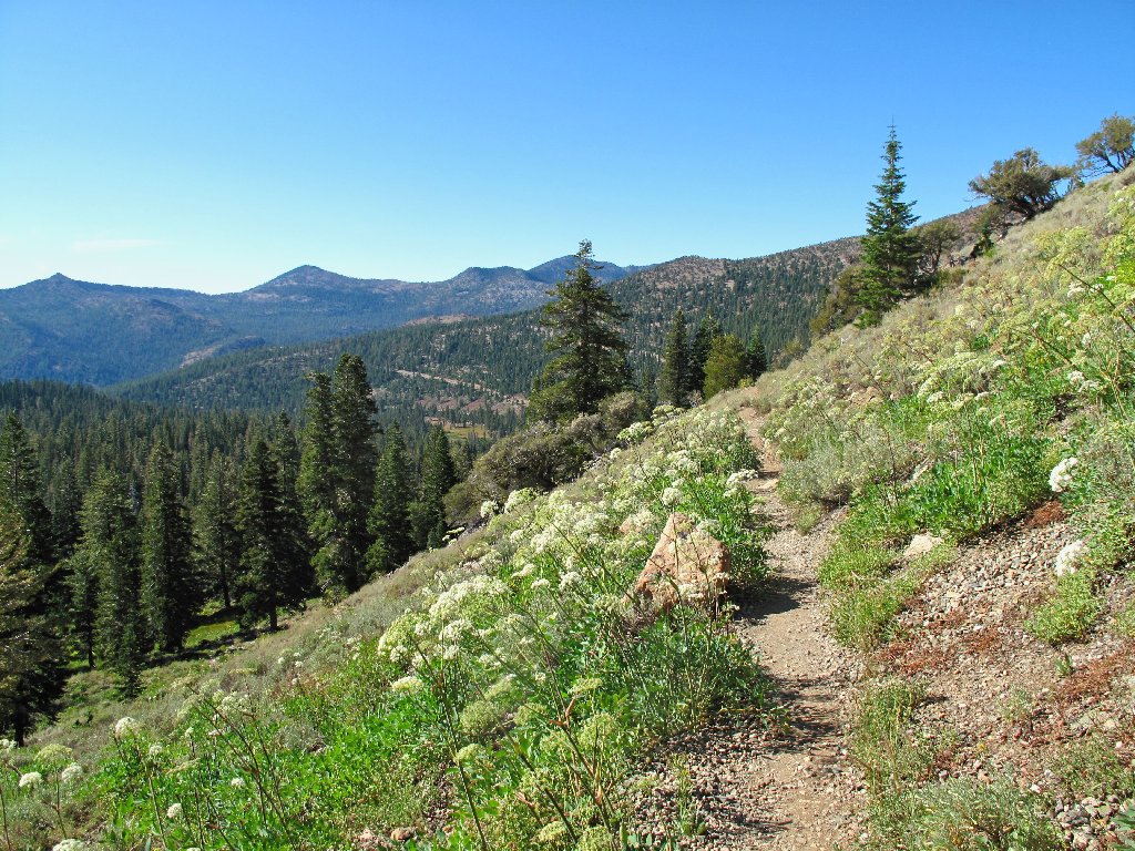
It is a relatively flat stroll along the side of a ridge for nearly
three miles to a junction, where we pick up the Sisson-Callahan
National Recreation Trail, which runs from here to the town of Mount
Shasta. The better part of another mile gets us up to a shrinking
pond and the first good view of our objective.
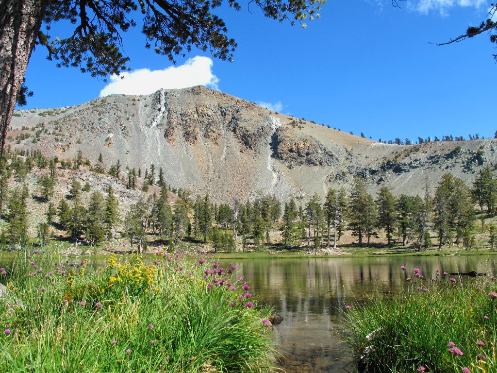
Mount Eddy, 9026'
There is not much wildlife around here today, so I shoot what I can.
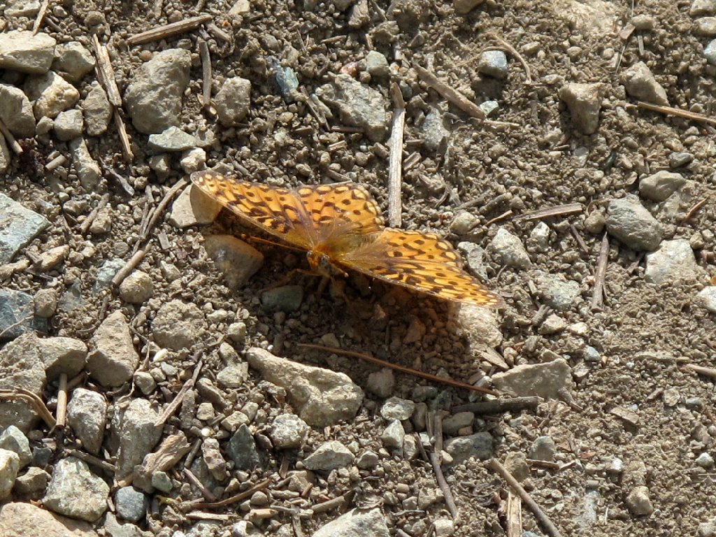
Fritillary
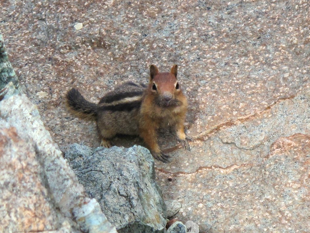
This guy wants a handout
Just ahead is one of the Deadfall Lakes. Beside it is a really beautiful flower:
Western Tofieldia
The rocks around here have an unusual reddish tint unlike anything I have seen.
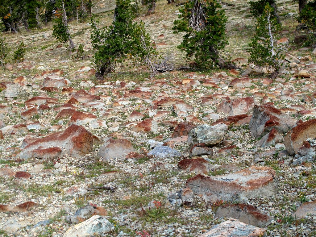
Red rock country
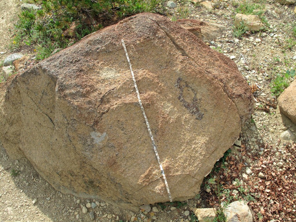
A most unnatural-looking dike
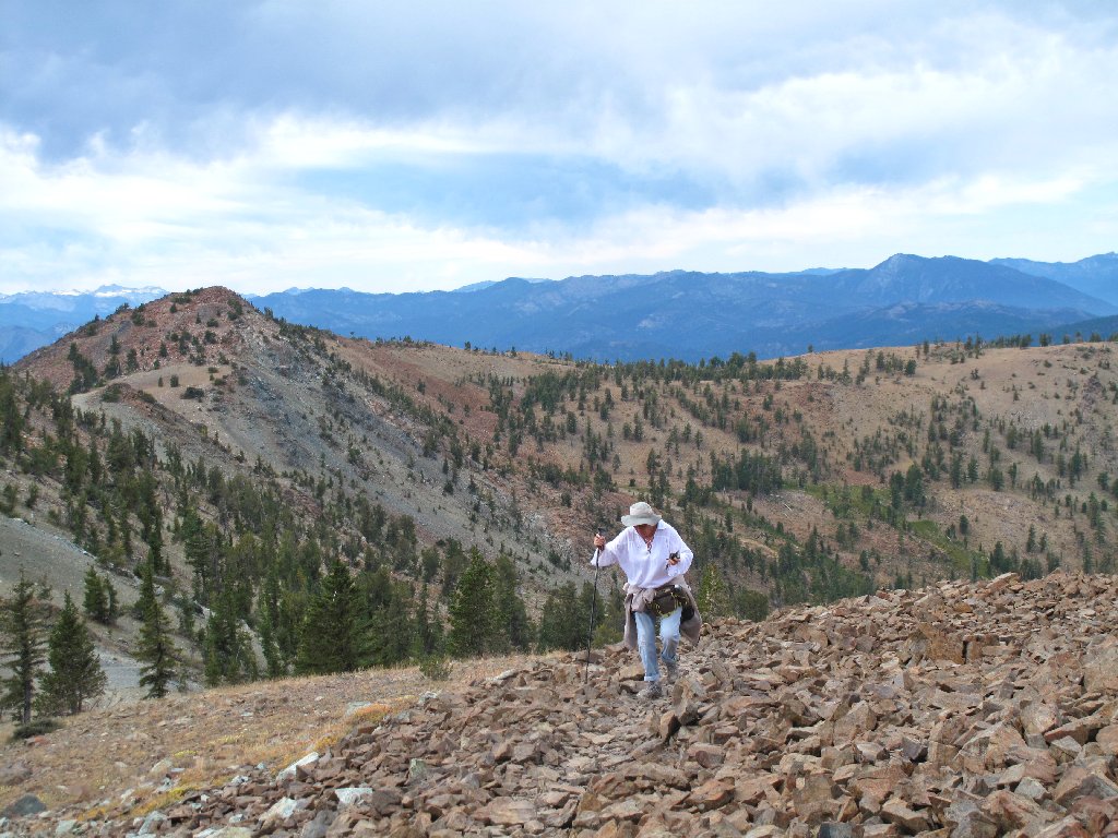
The climbing begins in earnest as we head up toward a saddle.
I hope that those clouds don't accumulate much more
Now we're getting somewhere! Atop this saddle, we can see just what lies ahead.
Only a thousand feet to go
A long series of switchbacks commences. Presently, I can see the Deadfall Lake that we passed earlier.
Diane traverses a rare rough section
Gaining altitude
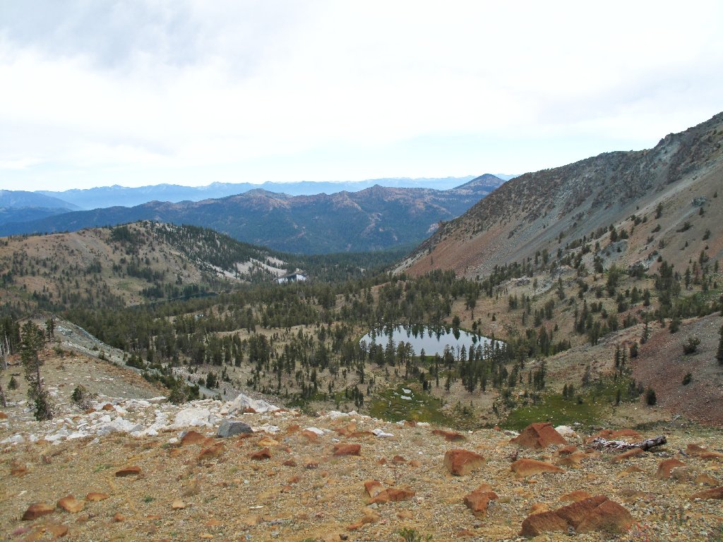
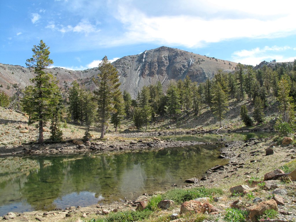
Deadfall Lake 7790
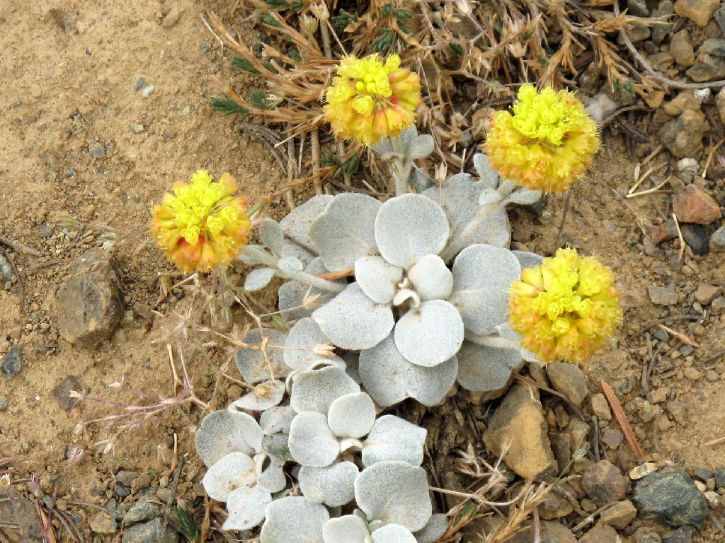
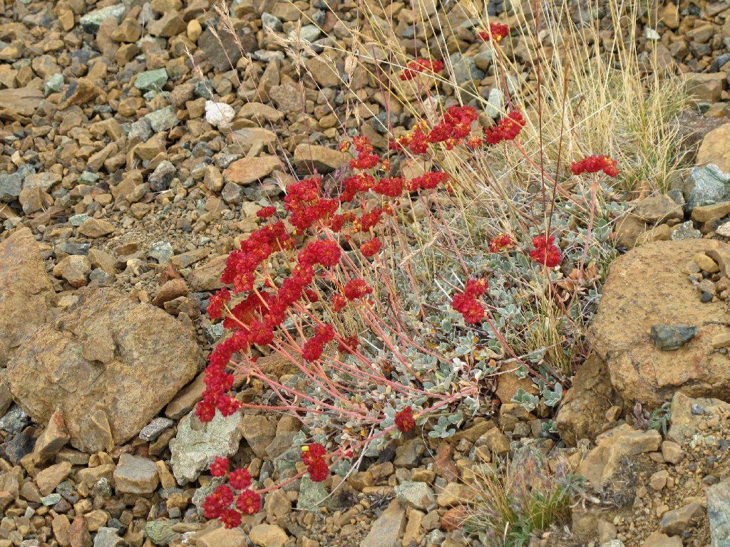
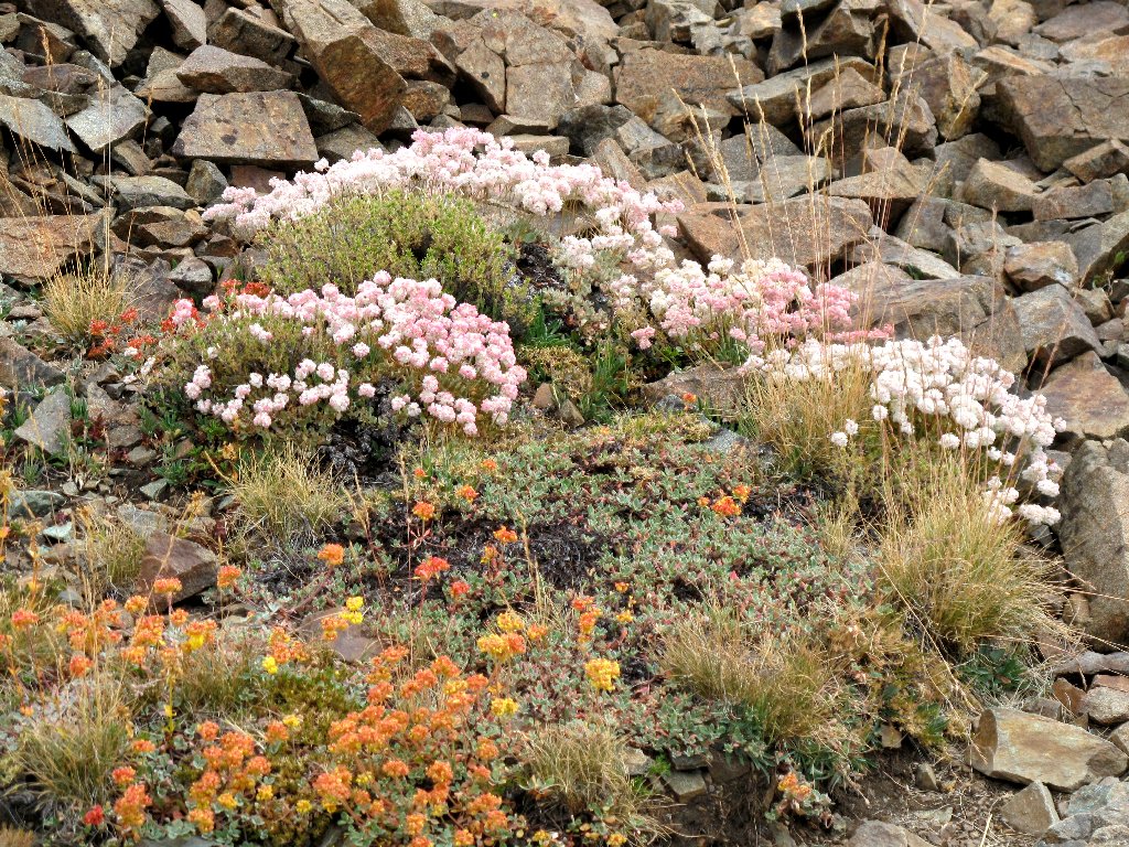
Suddenly I find myself in an extraordinary garden of buckwheat. The more I see, the farther down my jaw drops. There are too many varieties to count, so I'll not try to name them. Bear with me as I introduce you to the entire series:
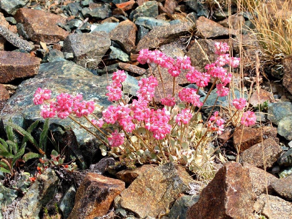
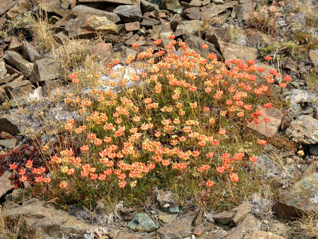
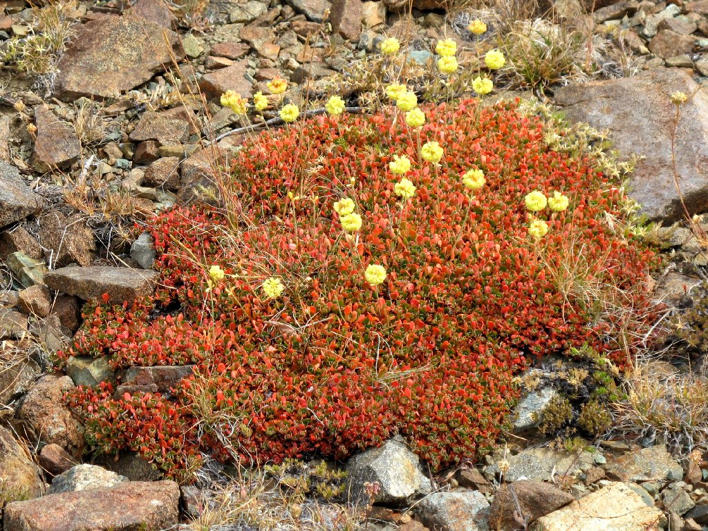
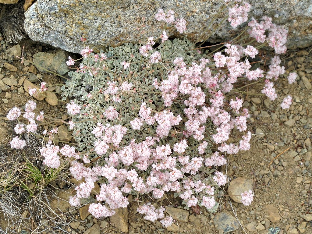
Family gathering
The buckwheat consortium seems to have a monopoly on this hillside, for there are no other flowers nearby.
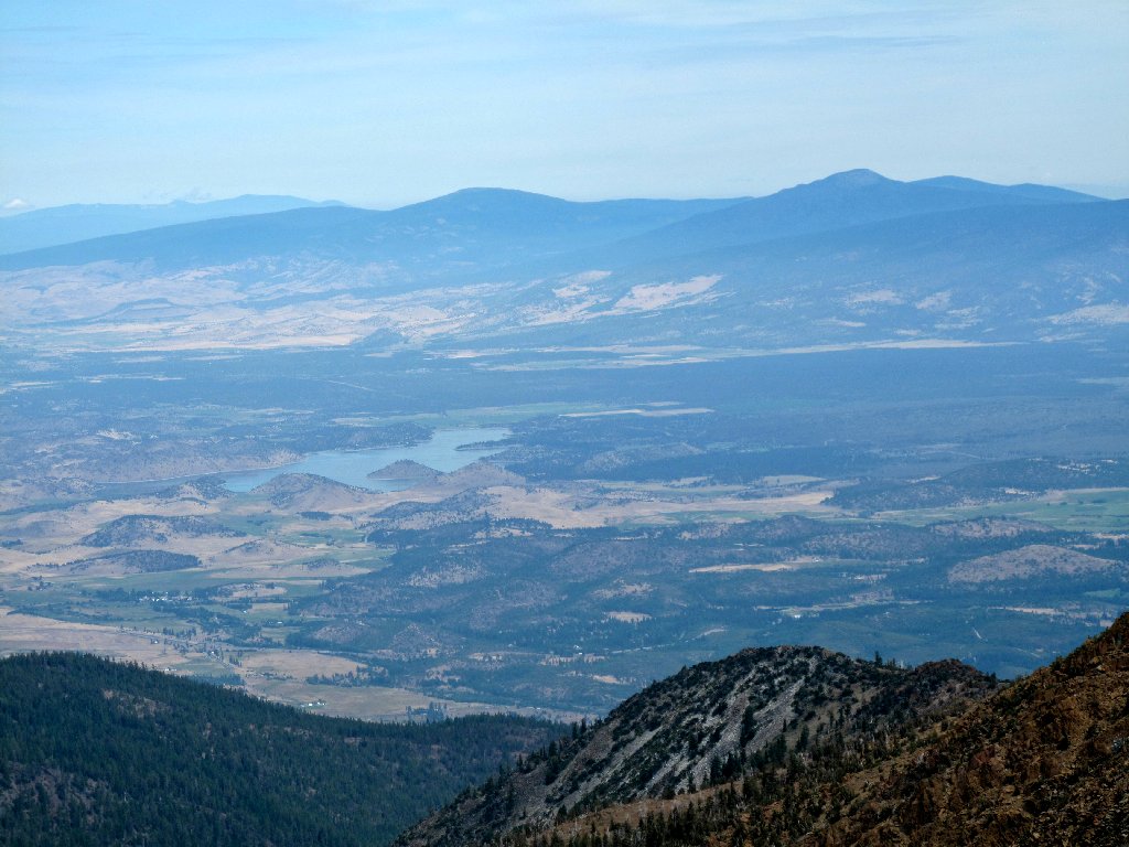
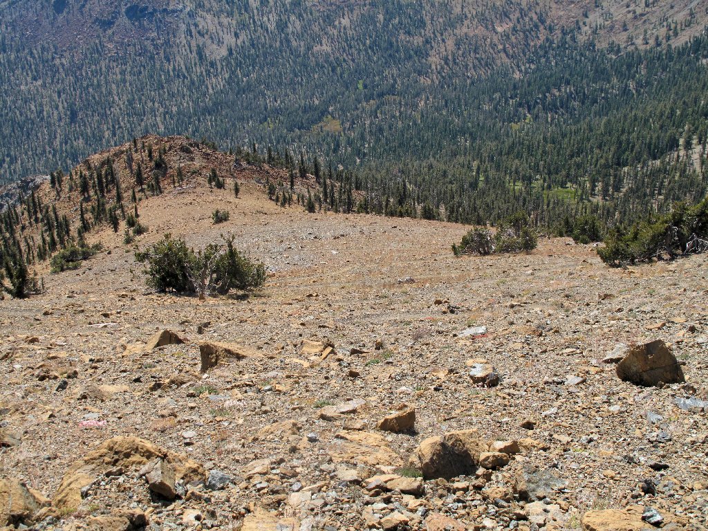
As we get higher, Lake Siskiyou comes into view well down the hill. I am still waiting for the main attraction, however; I understand that it will be necessary to go all the way up in order to get my reward.

Siskiyou Lake is nearly 6,000 feet below
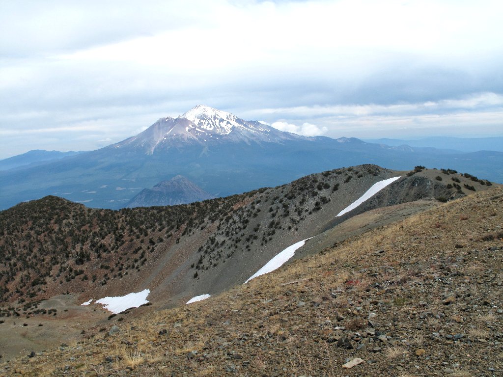
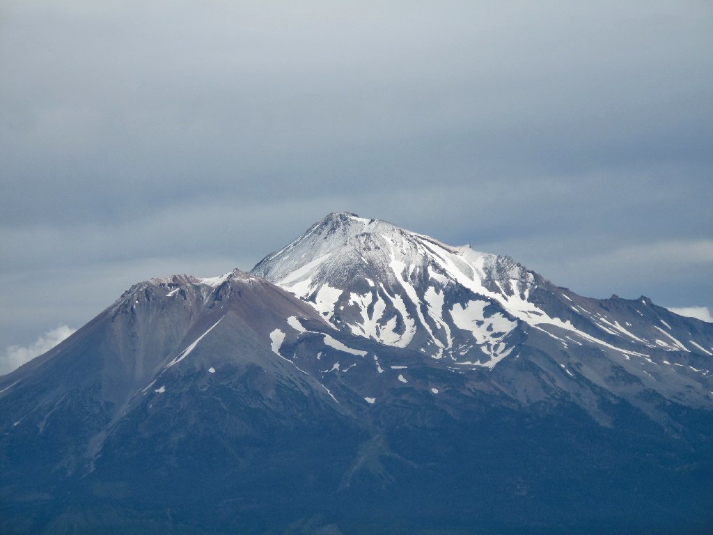
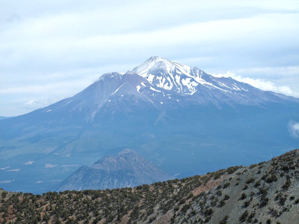
And there it is! Just ten feet below the summit, a favorite mountain comes into view, over the remnants of a fire lookout that was abandoned some eighty years ago.
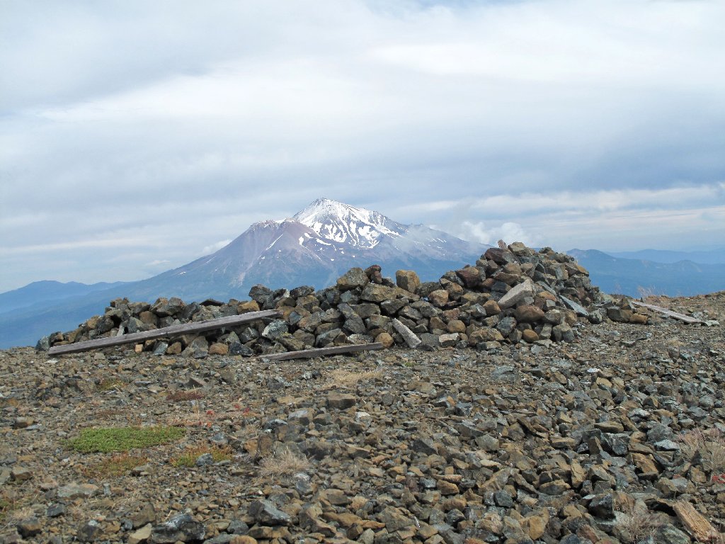
Mount Shasta, 14180'
Although there are vistas in every direction, the lighting is especially poor at the moment. Through the haze I can barely make out Lake Shastina, where I resided for a while some thirty years ago.
Lake Shastina
Dominating the landscape from 16 miles away
In the distance is Oregon's Mount McLoughlin
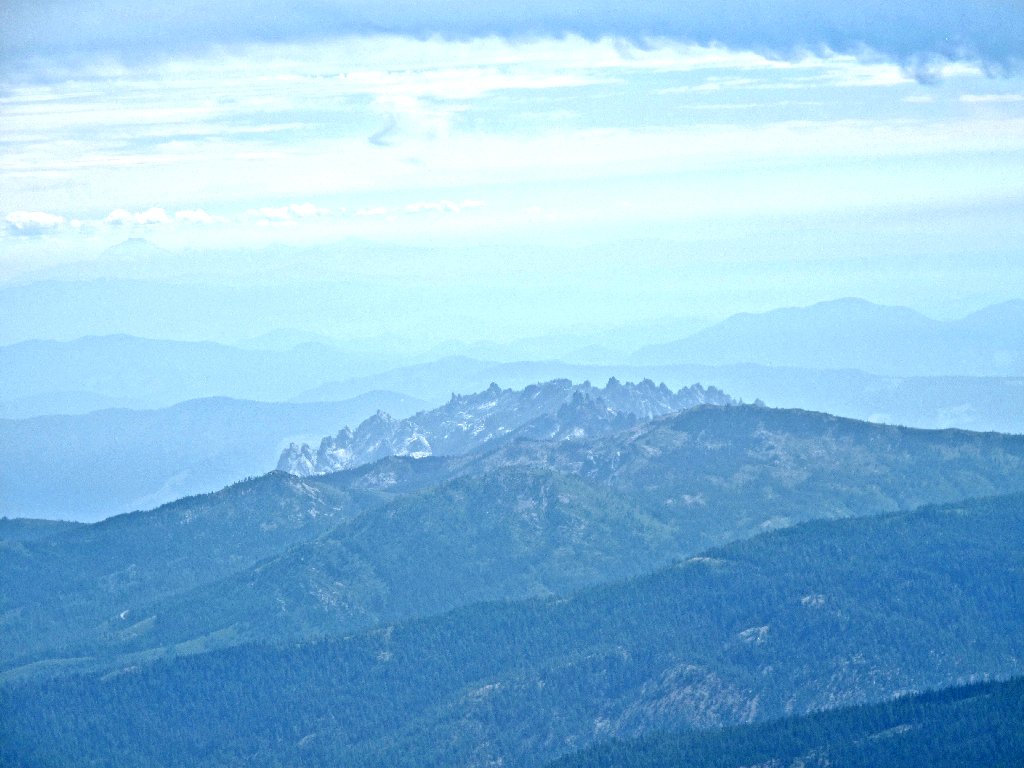
Castle Crags to the southeast
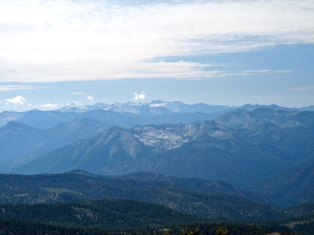
The Siskiyou Mountains, "California's Alps"
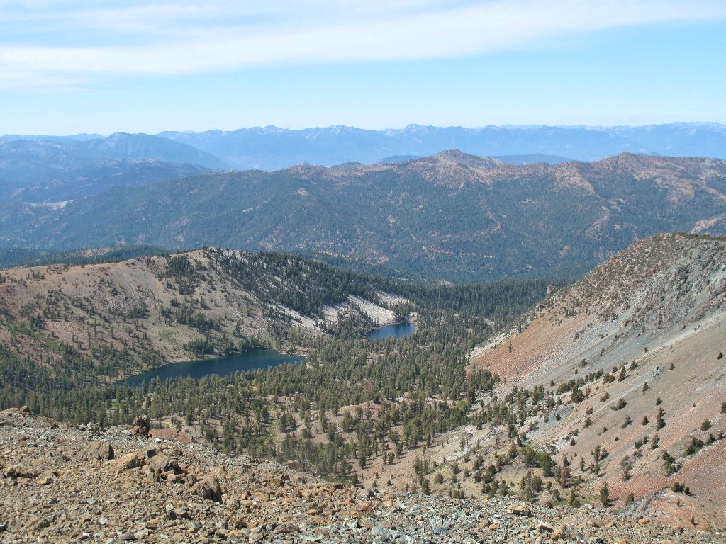
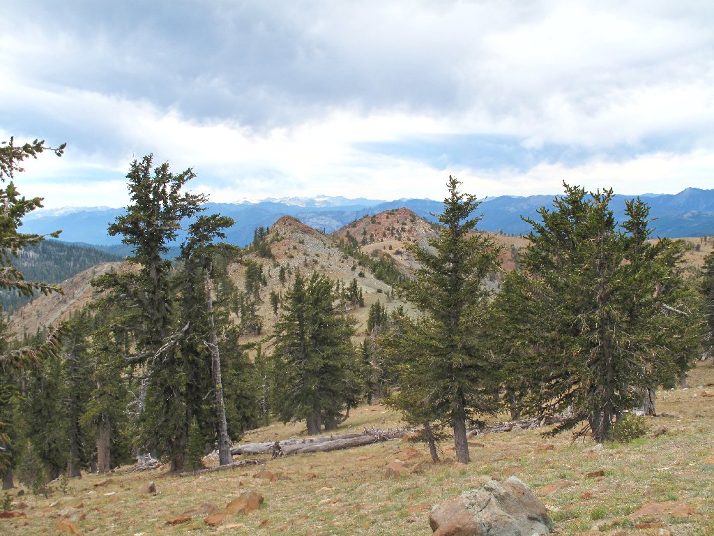
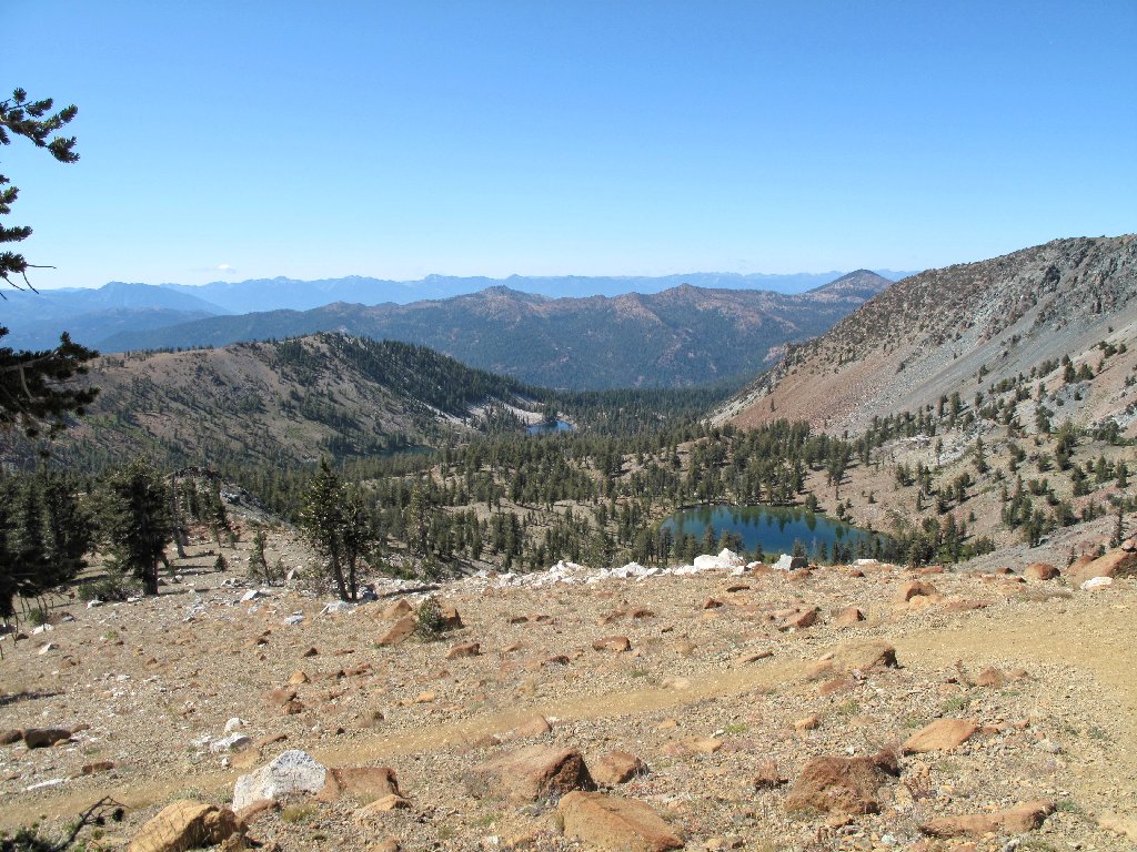
Two more Deadfall Lakes
Not only is Mount Shasta revered by many as a spiritual icon, its climate is unique as well. Of all the 100+ glaciers in California, only the seven on this mountain have actually increased in size over the last fifty years. It seems that more moisture is funneled in here from the coast than is available in most other places.
The snowpack is alive and well
Mount Eddy was formed of intrusive igneous rock somewhere between 400 and
65 million years ago. It is the highest peak in Trinity County and
in the Klamath Mountains. Trivia buffs might be interested in the fact
that Eddy also is the highest mountain west of Interstate-5.
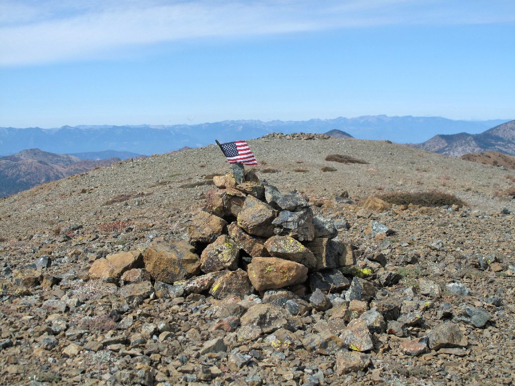
Summit marker
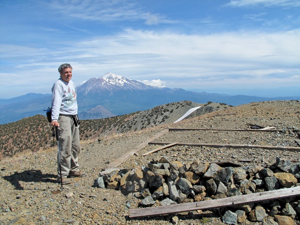
Yours Truly
This the farthest north that I have hiked in California. Not being overly familiar with the weather up here, I had feared that it might rain on us some; in fact, when we first arrived, my camera and walking stick were cold to the touch. But now it is beginning to clear up nicely, which should make for better photographs.
Black Butte, 6334', is dwarfed by its neighbor
Diane has finished making a dozen calls on her cell phone, and I even place one myself; so it is time to depart. I still am seven hours from home, and that's if I don't stop somewhere for dinner.
The many switchbacks down the mountain
It is clear to the west now
At a rest stop, I disturb a grasshopper beside a rock. Not reacting with its normal jump, it sort of rolls away from me. I didn't realize why until I enlarged these photos later at home:
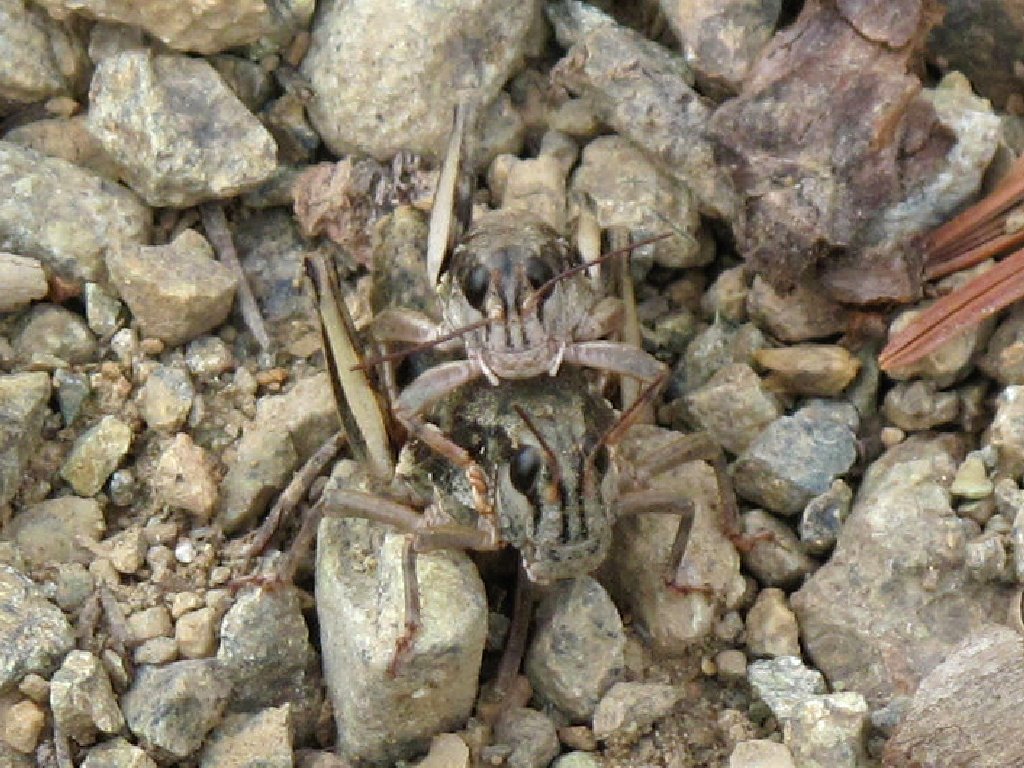
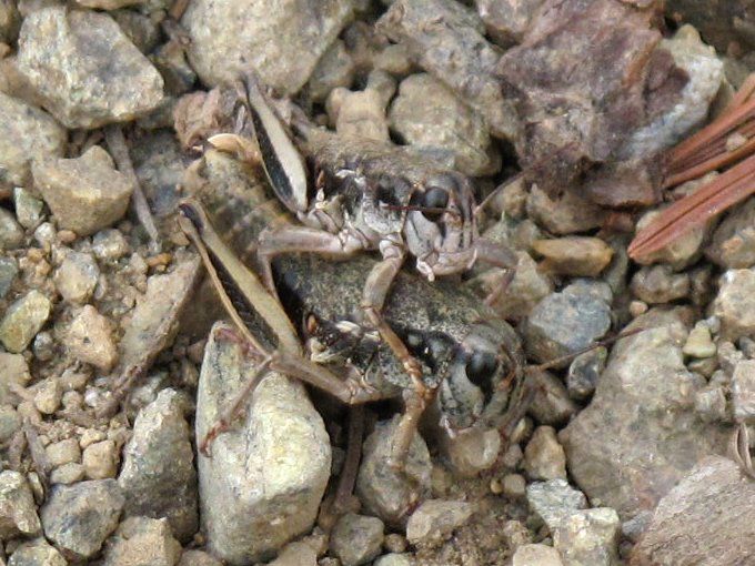
Click on these pics to view nature in action
The next time I see one of those guys rolling around, I will know why.
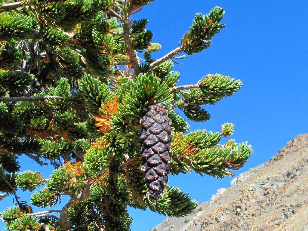
Foxtail Pine
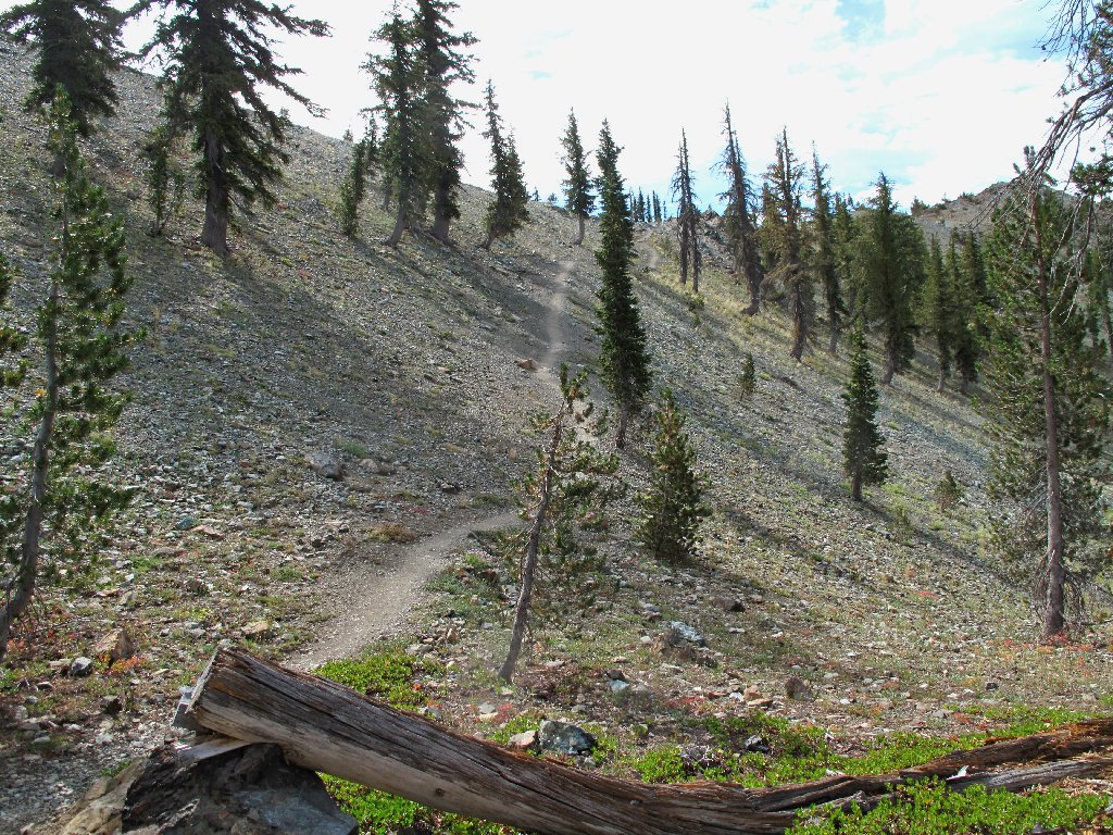
Last of the switchbacks
Back down at the lake, we find more nice flowers near the outlet stream.
It is so much nicer with some blue sky
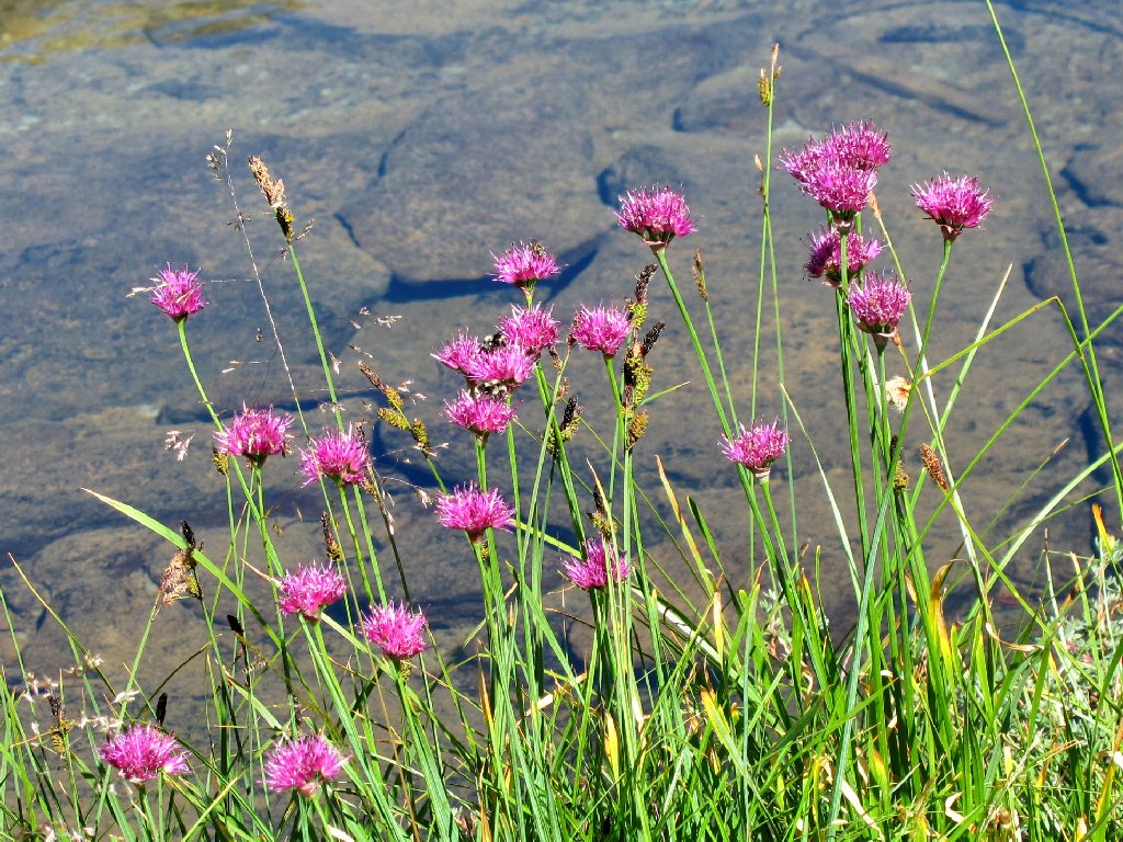
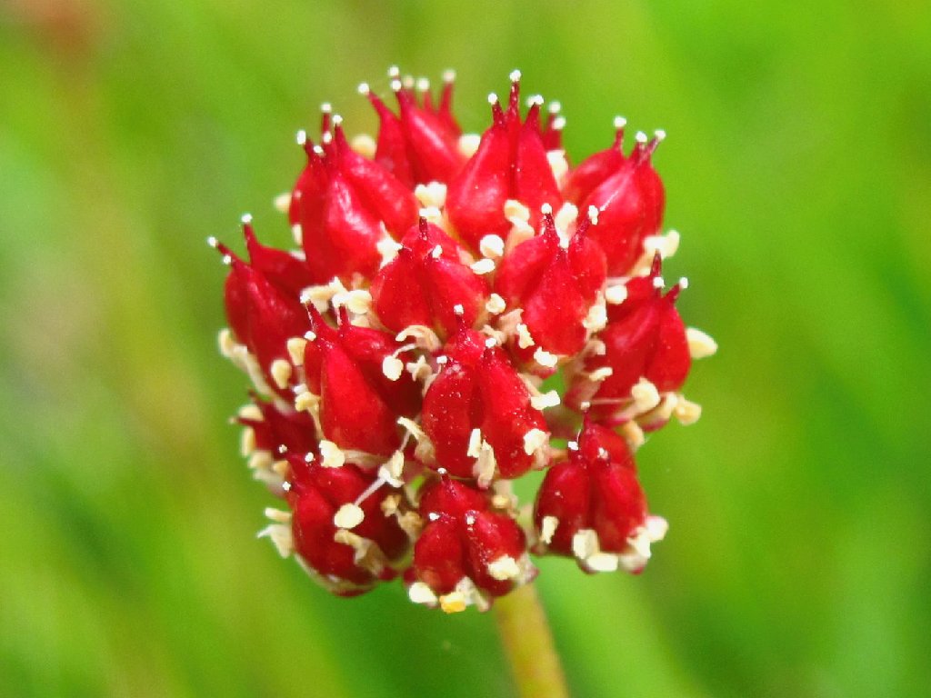
Mountain Onion
Near the PCT junction are spur trails to the two biggest Deadfall Lakes, so I venture over to each one for a photograph. The biggest lake is easily the more attractive of the two.
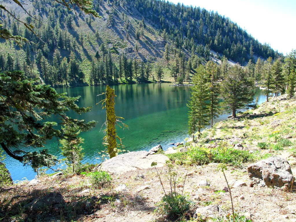
Deadfall Lake 7259
We meet a young hiker who claims to be walking the Pacific Crest Trail from Washington to Tahoe. Speaking only in terms of "I" and "me", the man never bothers to mention his father, who we later learn is traveling with him and is trailing just a short distance behind. It seems as if their bonding ritual has not been particularly successful.
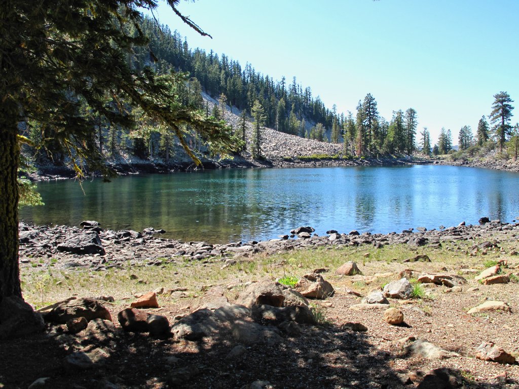
Deadfall Lake 7139
PCT hiker
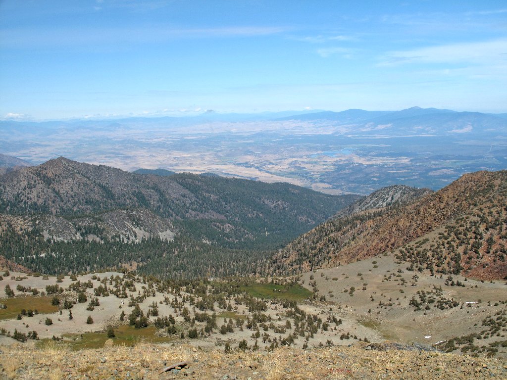
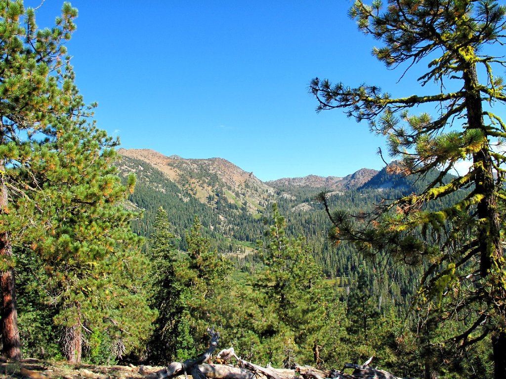
From here we can see the trail in the distance. It will be another relatively uneventful jaunt the rest of the way, through the thousands of cow parsnips that line the trail.
That ridge is a long way from here
Looking back, Mount Eddy is out of sight again
§: This hike provided some interesting, albeit unexpected
features. I had anticipated the superlative views of Mount Shasta,
but I was pleasantly surprised by the unusual desert garden on the high
south slope of Mount Eddy.
I just hope that I didn't wear out my feet on this longer jaunt, because I head for Half Dome in three days.
| Scenery |  |
| Difficulty | |
| Personality |  |
| Flowers |  |
| Solitude |  |
