
Yosemite National Park
|
Kuna Crest Lakes Yosemite National Park |
August 30, 2011
During a visit to Spillway Lake four years ago, I had observed on the map that there were half a dozen other lakes nearby, yet out of sight above me. I have long anticipated a chance to explore them. Expecting this to be my longest walk in several decades, I stoke up on energy with a big breakfast at the cute little cafe in the Tioga Pass Resort.
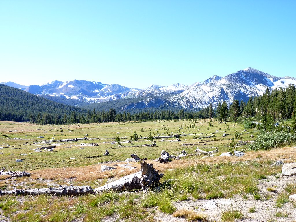
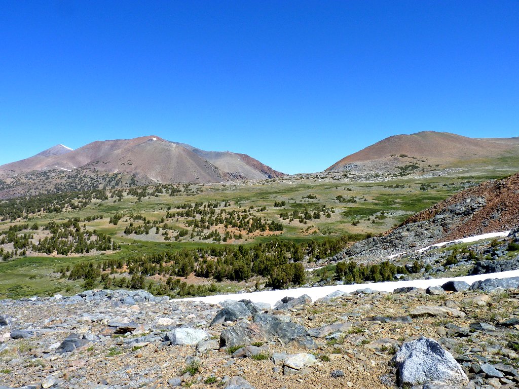
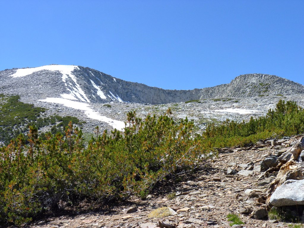
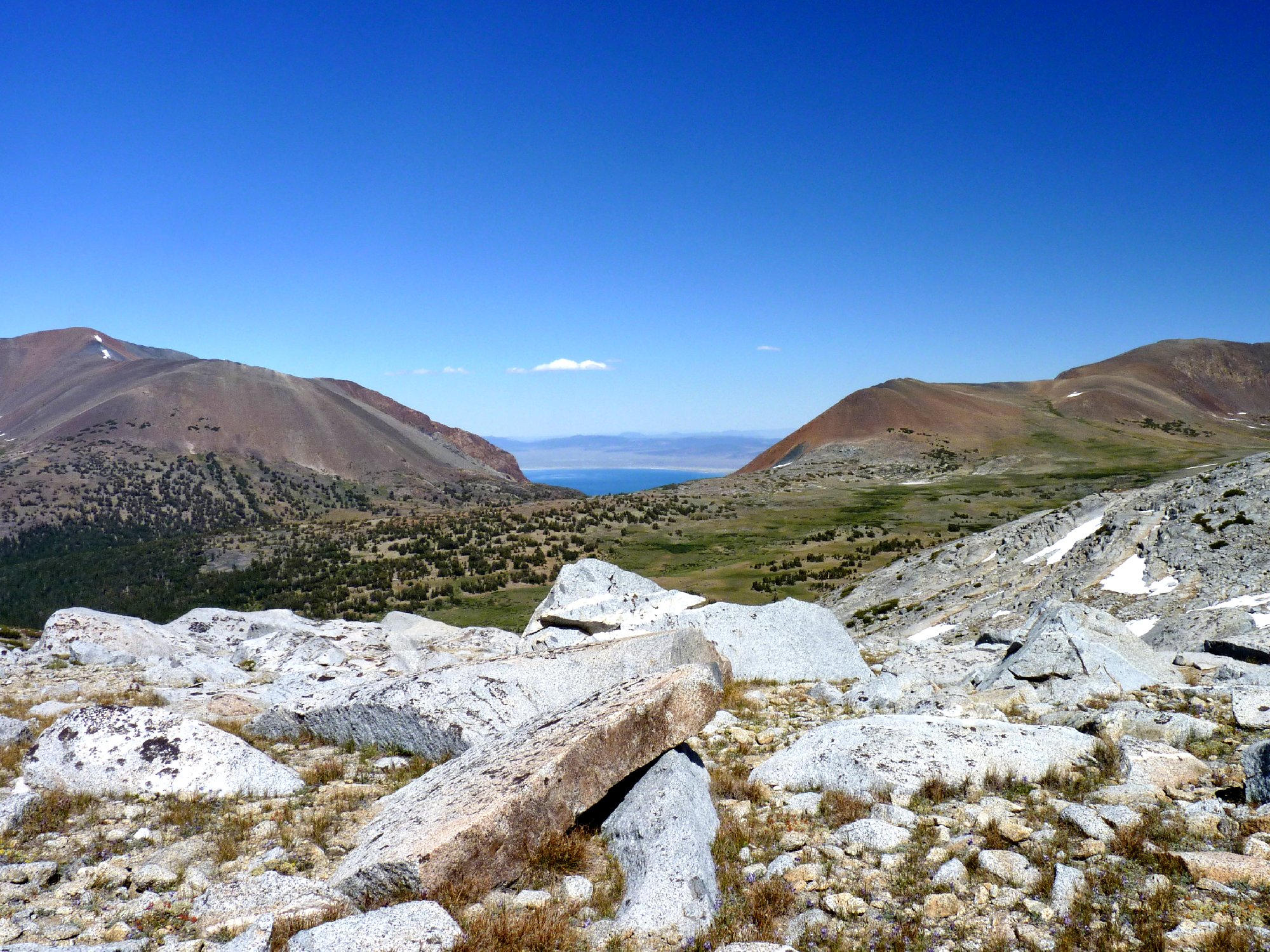
Today's venue is in distant view from Dana Meadows, near the park entrance
It is a calm and clear 55° at the Mono Pass Trailhead — the standard
recipe for a perfect day in the High Sierra. Because today's trek will
involve elevations of well over 11,000 feet, I start out wearing a
long-sleeved shirt. Within fifteen minutes, however, I stash it
behind a rock at the Dana Fork crossing. I'll take my chances.
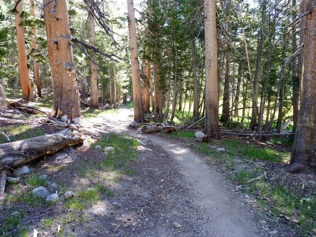
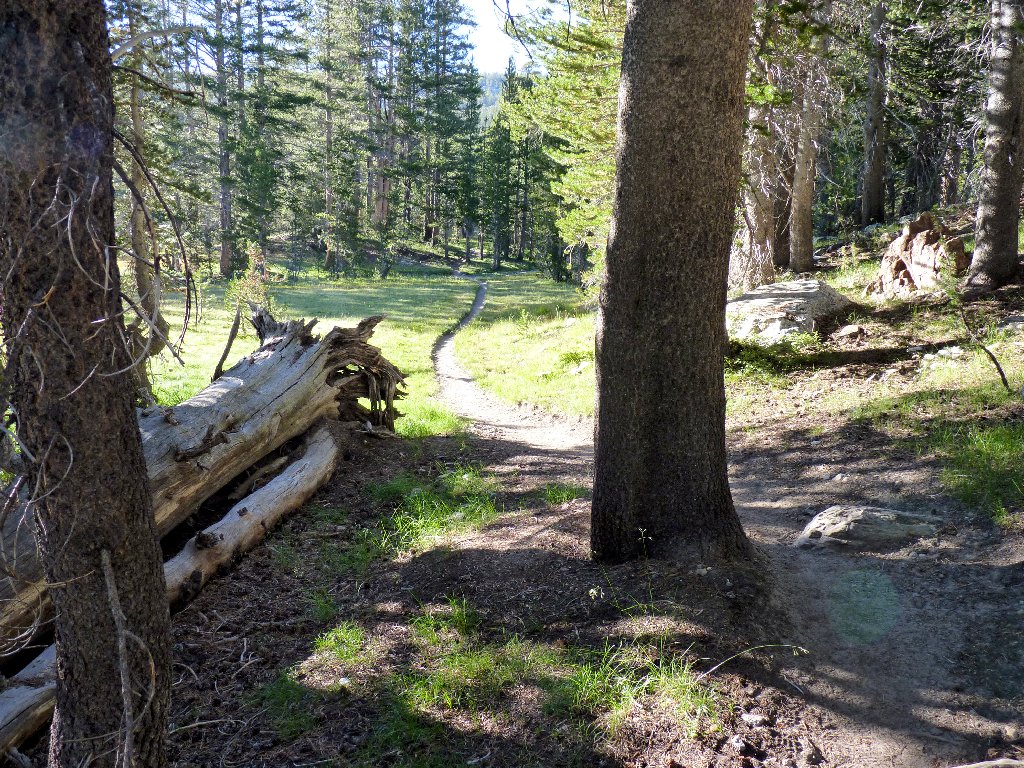
A shady stroll through the forest
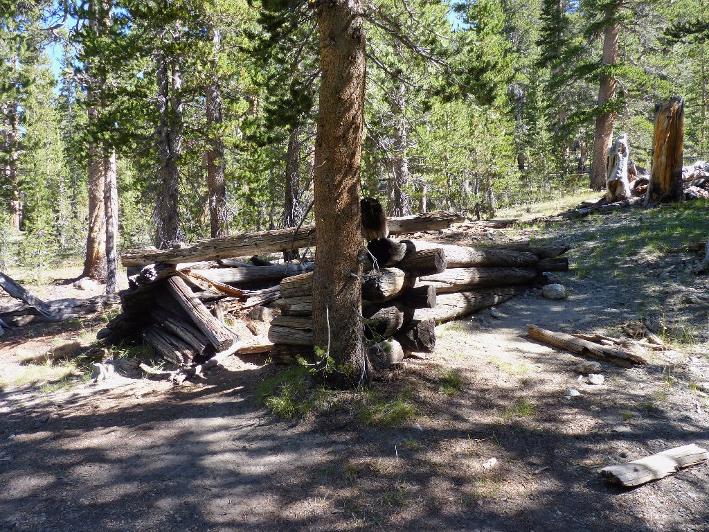
Miner's cabin
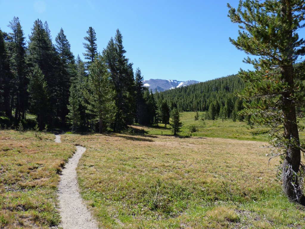
Nary a rough spot on this trail
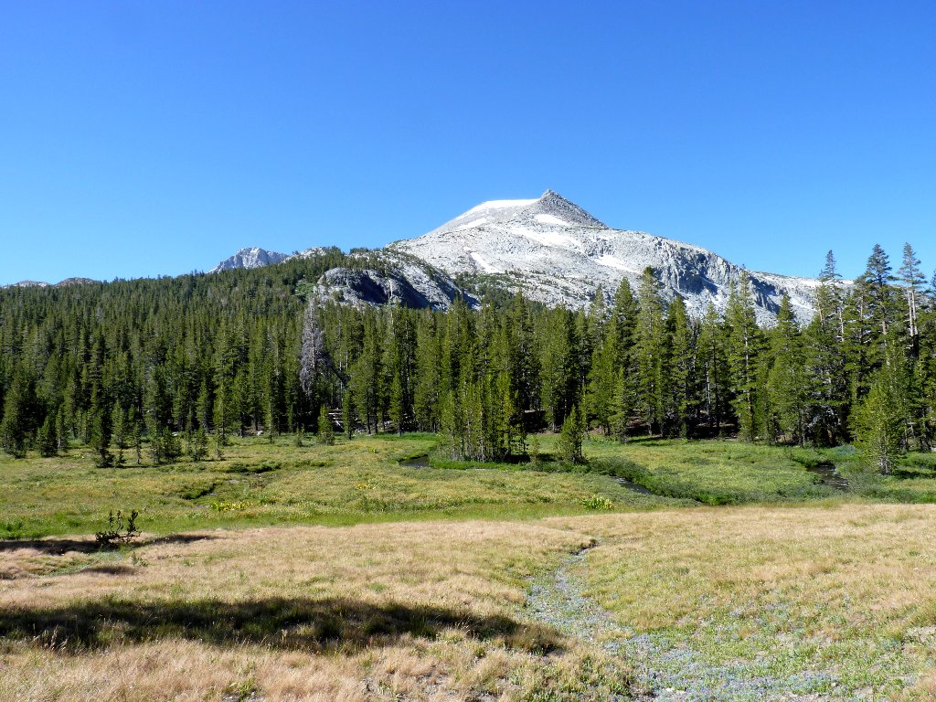
Mammoth Peak to the right, 12113'
After 2½ miles or so, the trail forks. Mono Pass and Parker Pass are to the left; my route veers to the right. Leaving the forest, the trail parallels a delightfully bubbling brook.
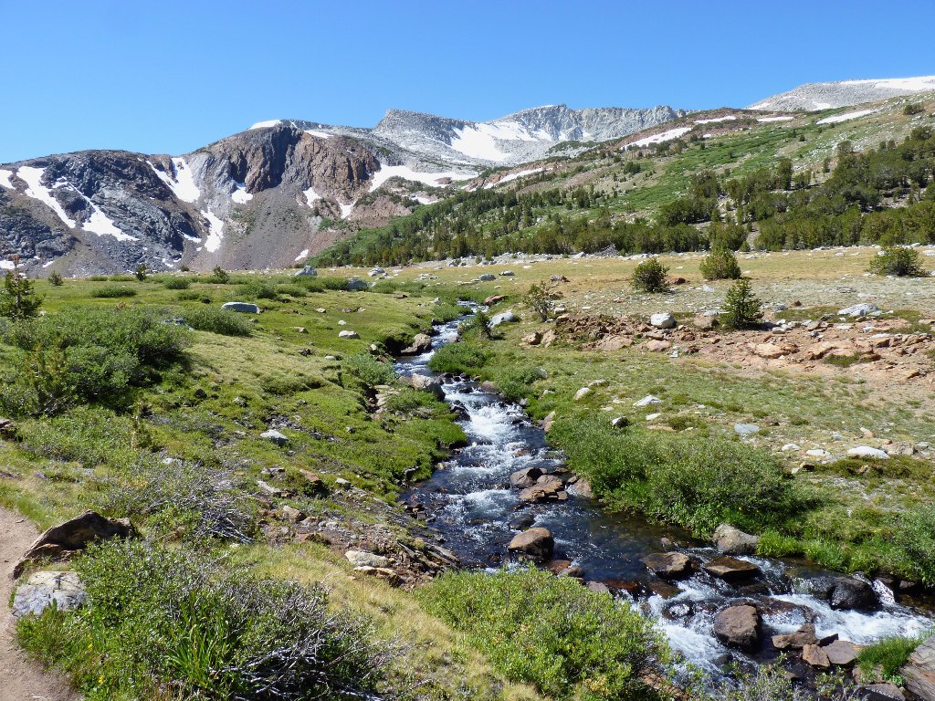
Parker Pass Creek
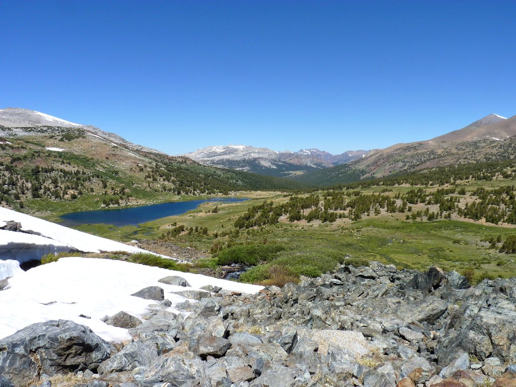
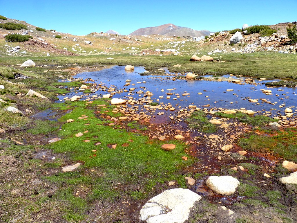
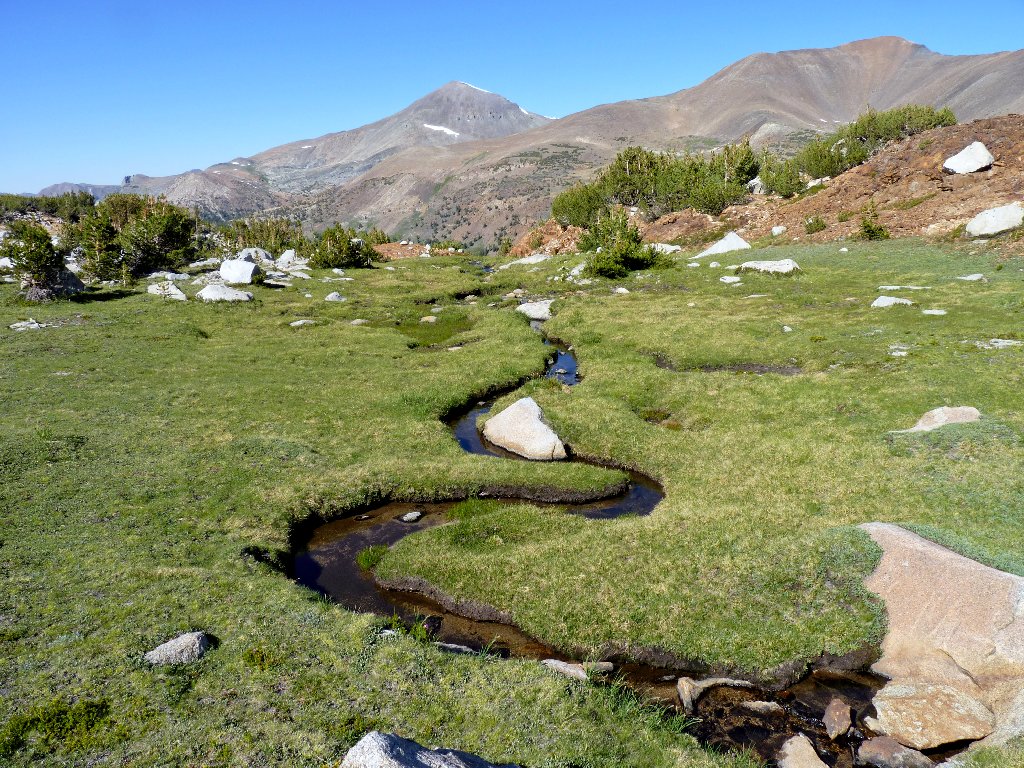
At the four-mile mark, Spillway Lake comes into view. Albeit only a foot or two deep, it is quite beautiful. Of course, at this exalted elevation, virtually everything is beautiful.
Spillway Lake, 10450'
Up behind the lake is an area that I am planning to explore eventually.
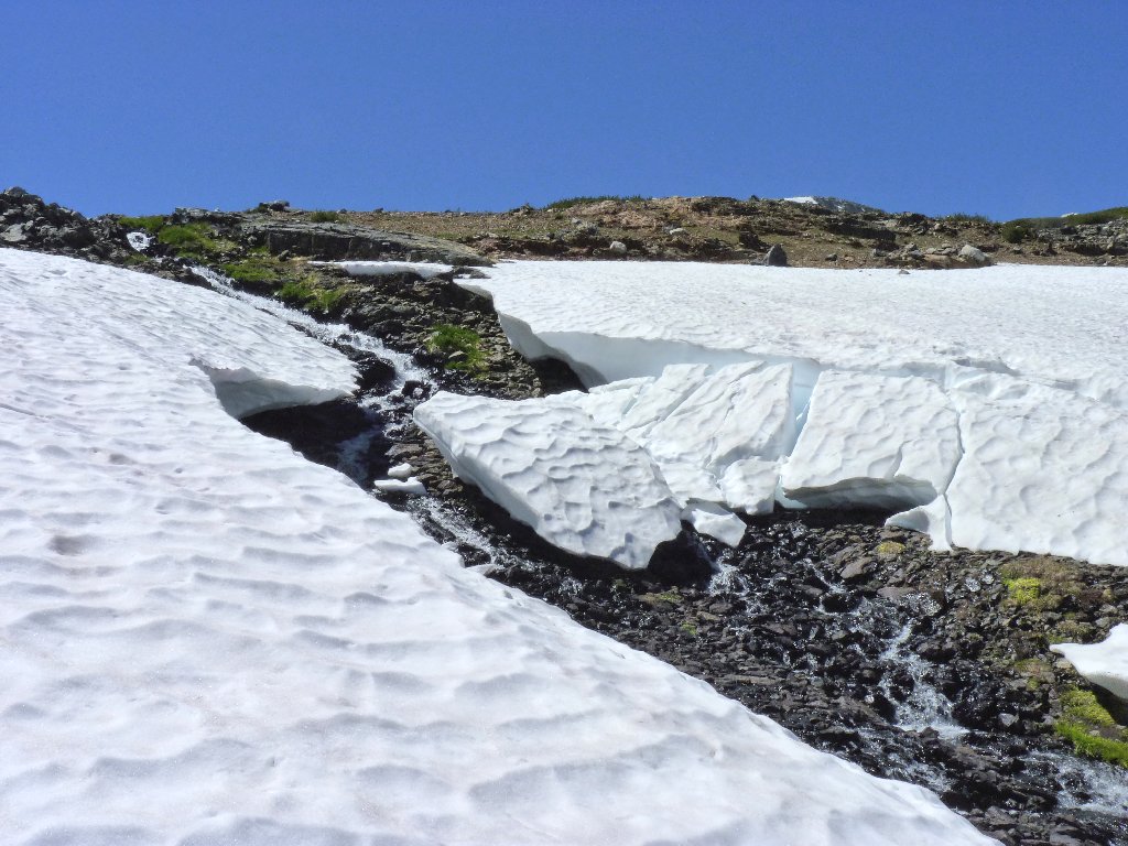
The Kuna Crest looms behind a nice cascade
Spillway Lake is a good-feeling place and a worthwhile destination in itself; but today, it is just the first stop on a grand loop. The next attraction lies a mile to the south and five hundred feet uphill. Suspecting that there will be no trail from this point on, I hope that those snowdrifts ahead will not present a problem.
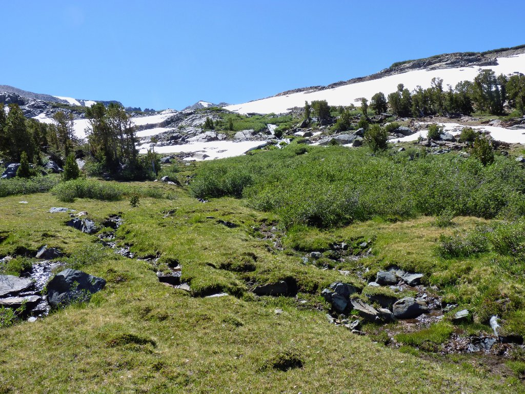
Start of the cross-country venture
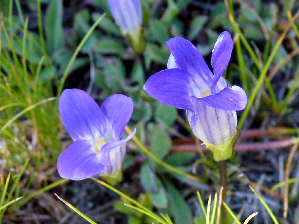
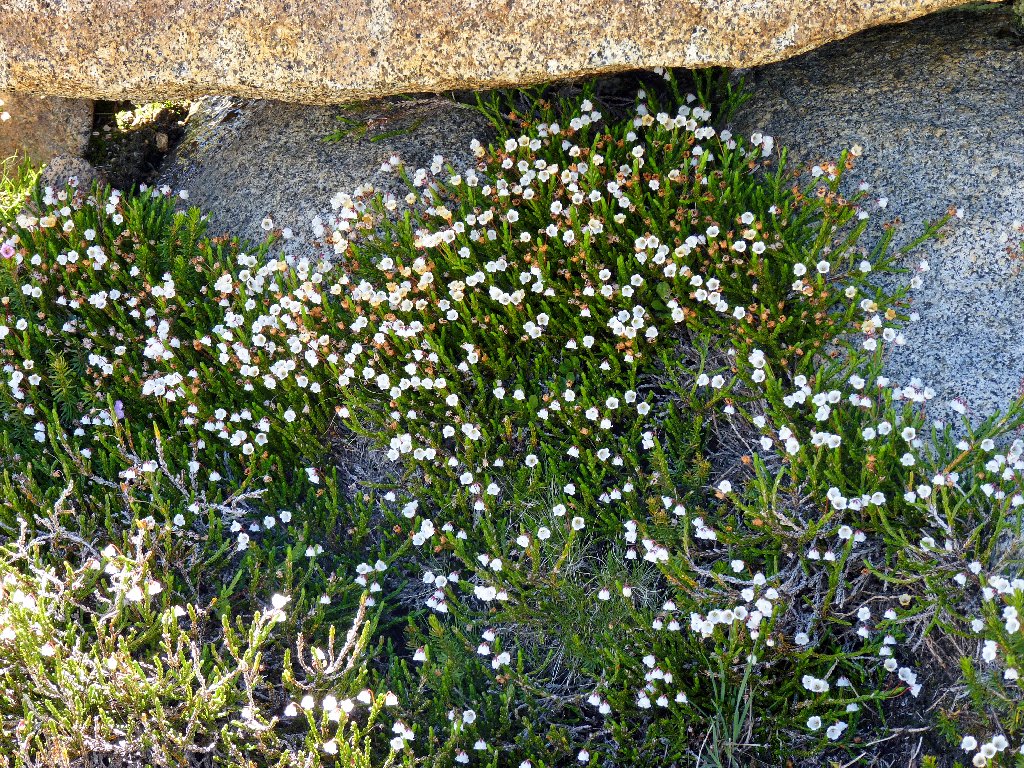
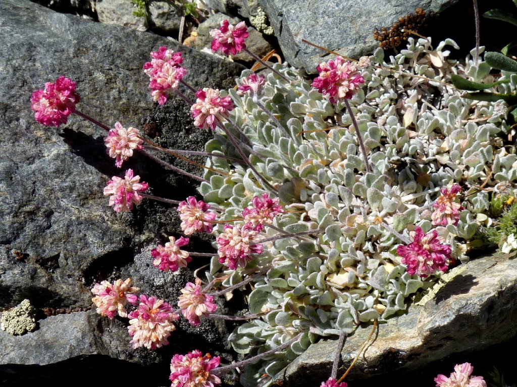
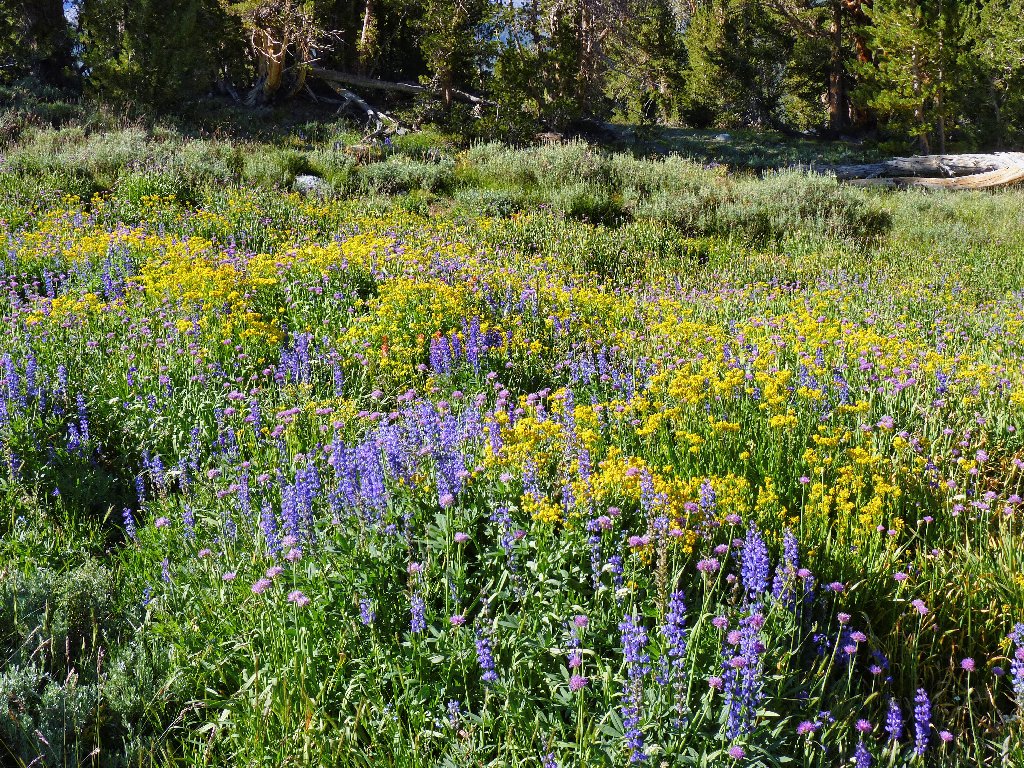
Sierra Fringed Gentian
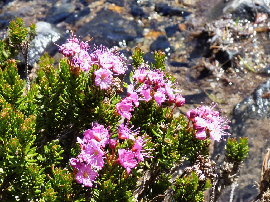
Red Mountain Heather
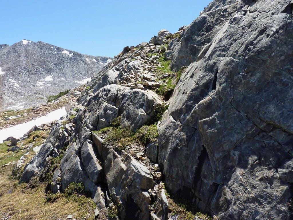
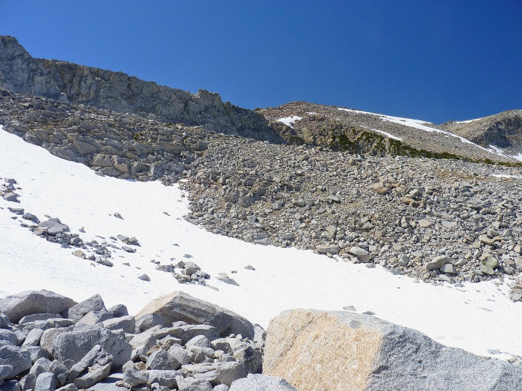
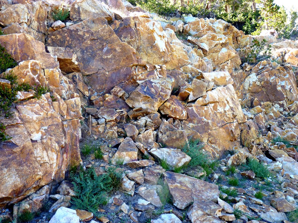
After a scramble up a couple hundred feet of scree, it does prove necessary
to spend a little time on the white stuff. I am anxious to see how much
more snowpack lies ahead; if there is a lot, then I might have to opt for
Plan B — a semi-loop detour over to the Parker Pass Trail.
Looking back at Spillway Lake
Nearing the top
Mono Pass is right over there, between the mountains
Finally, I get a first glimpse of Helen Lake. Seeing a pretty place for the first time always is a special treat. Happily observing that snowdrifts are in scant evidence up here, I look forward to more such treats ahead.
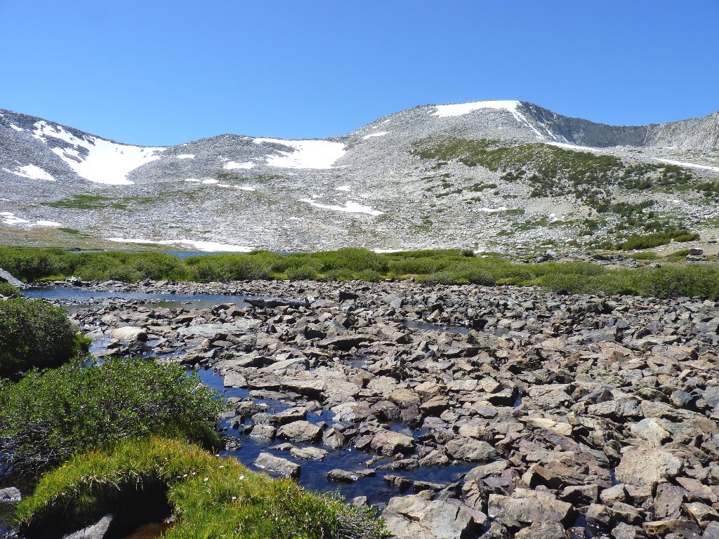
Crossing this stream will be tricky, but dry
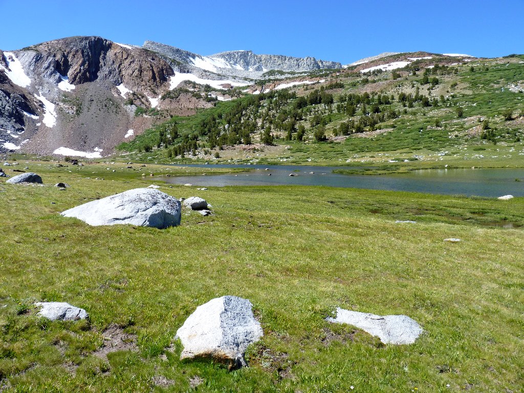
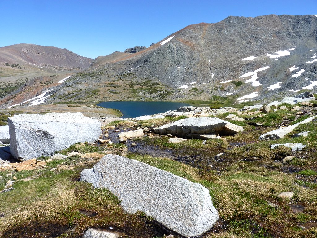
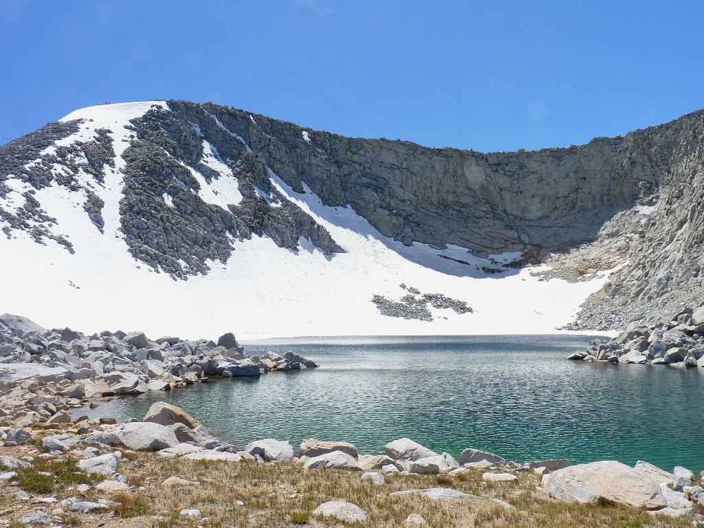
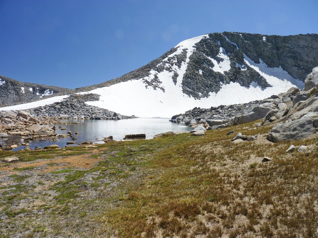
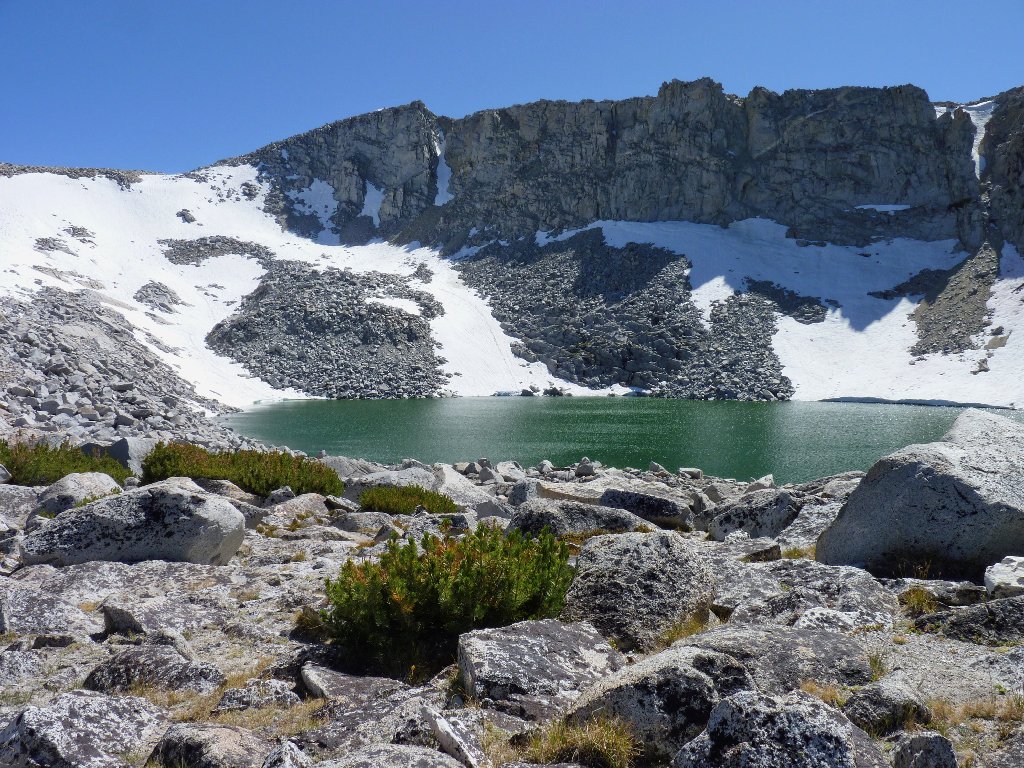
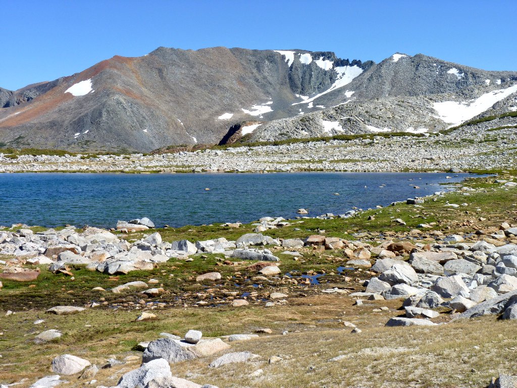
Helen Lake is the biggest one that I will visit today. It is not to be confused with Lake Helen, which resides in the Twenty Lakes Basin ten miles north of here. I have assigned an obvious name to the unique craggy formation above; it is the highest point along the Kuna Crest that will be visible on this outing.
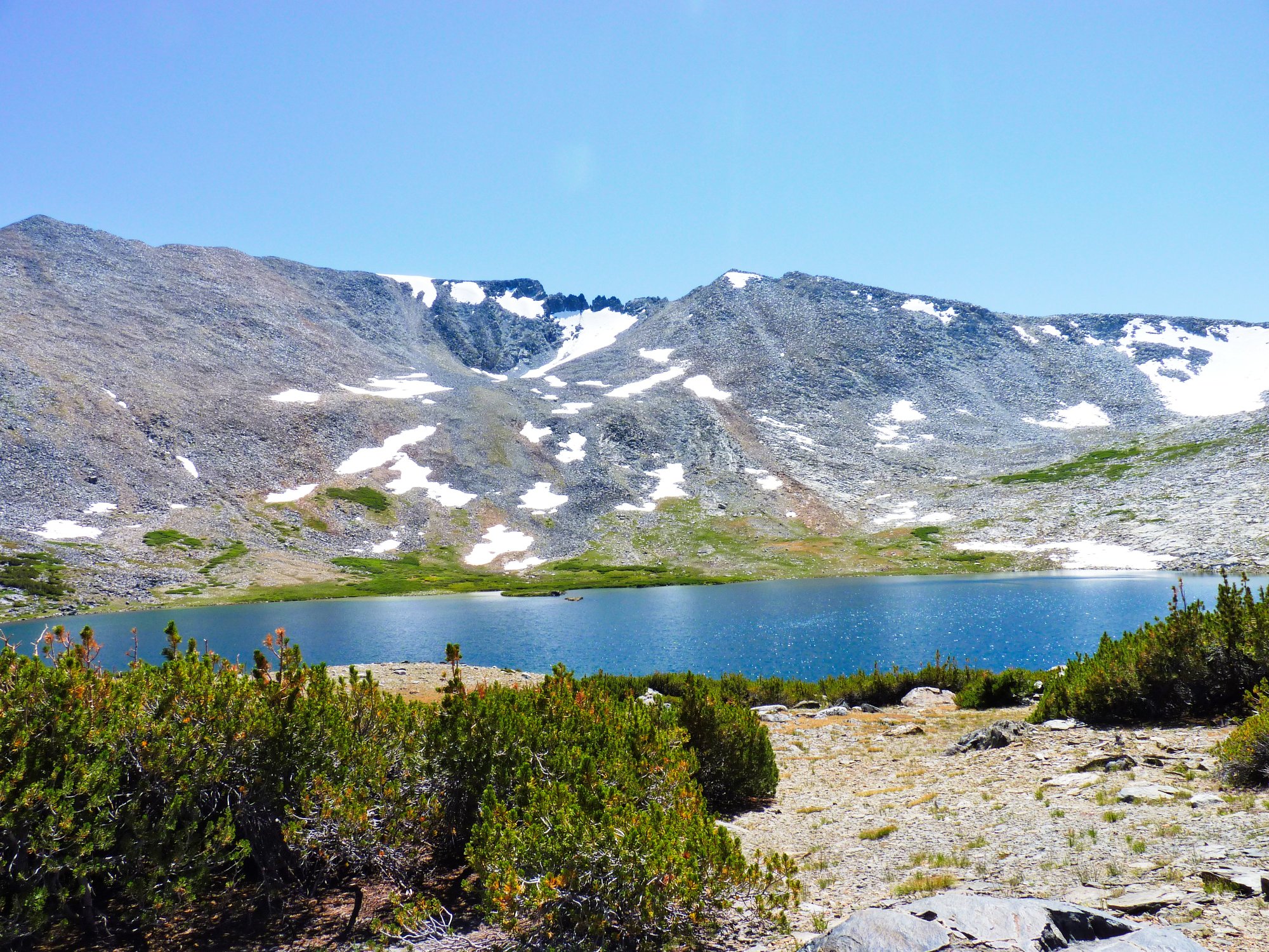
Helen Lake, 10952', and Kuna Crags, 12462' ⇔
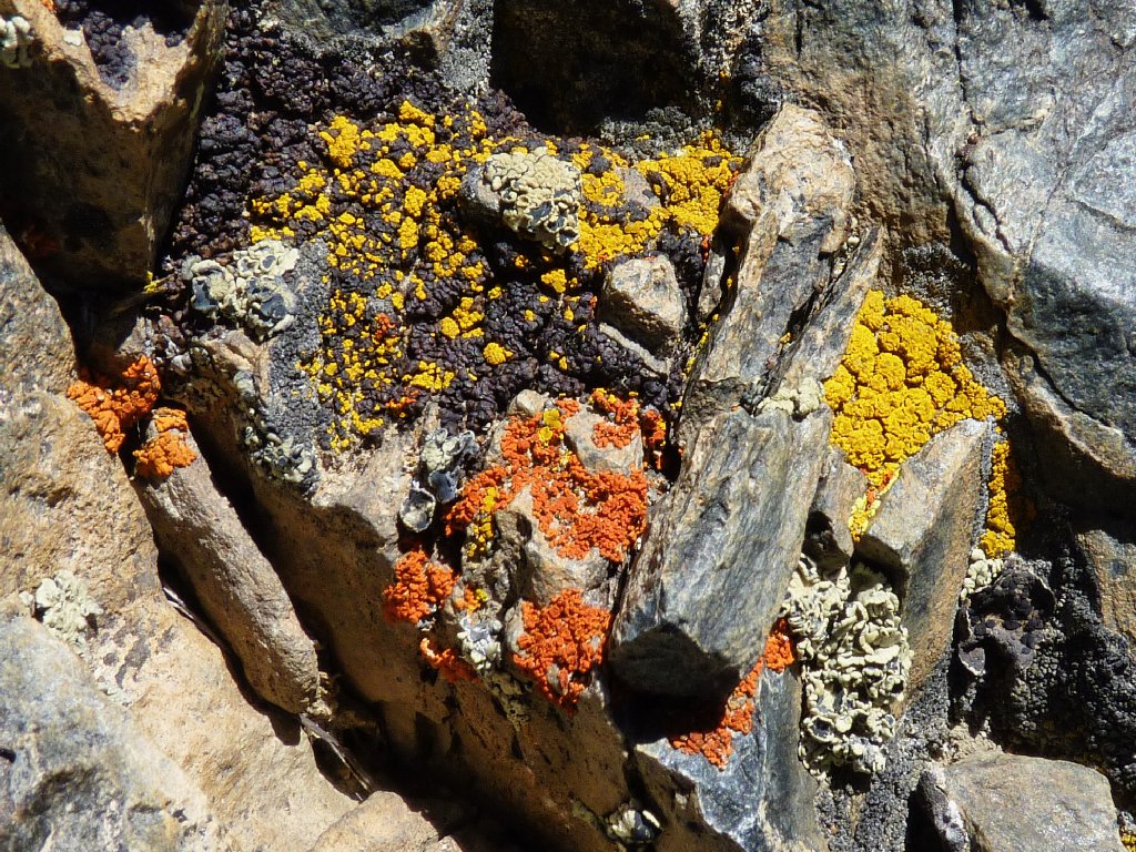
Candelaria Lichen
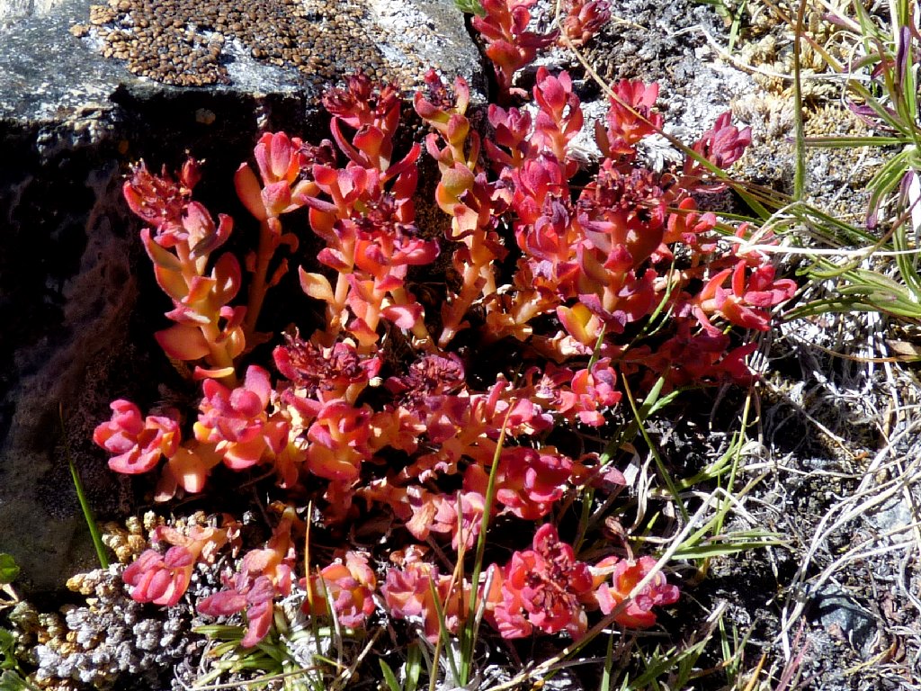
Ledge Stonecrop
Lying in that crater-like depression well above me is the next objective. After toying briefly with the idea of skipping it in the interests of time and energy savings, I recall my aborted mission at Vogelsang recently. Rejecting any further notion of curtailing planned activities, I set off up through the scree and stunted pine trees.
The next lake awaits me up there
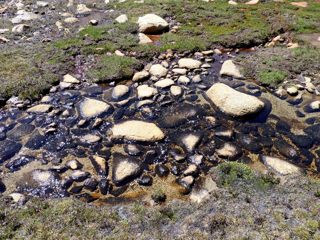
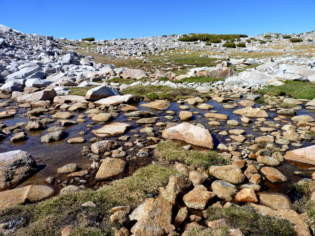
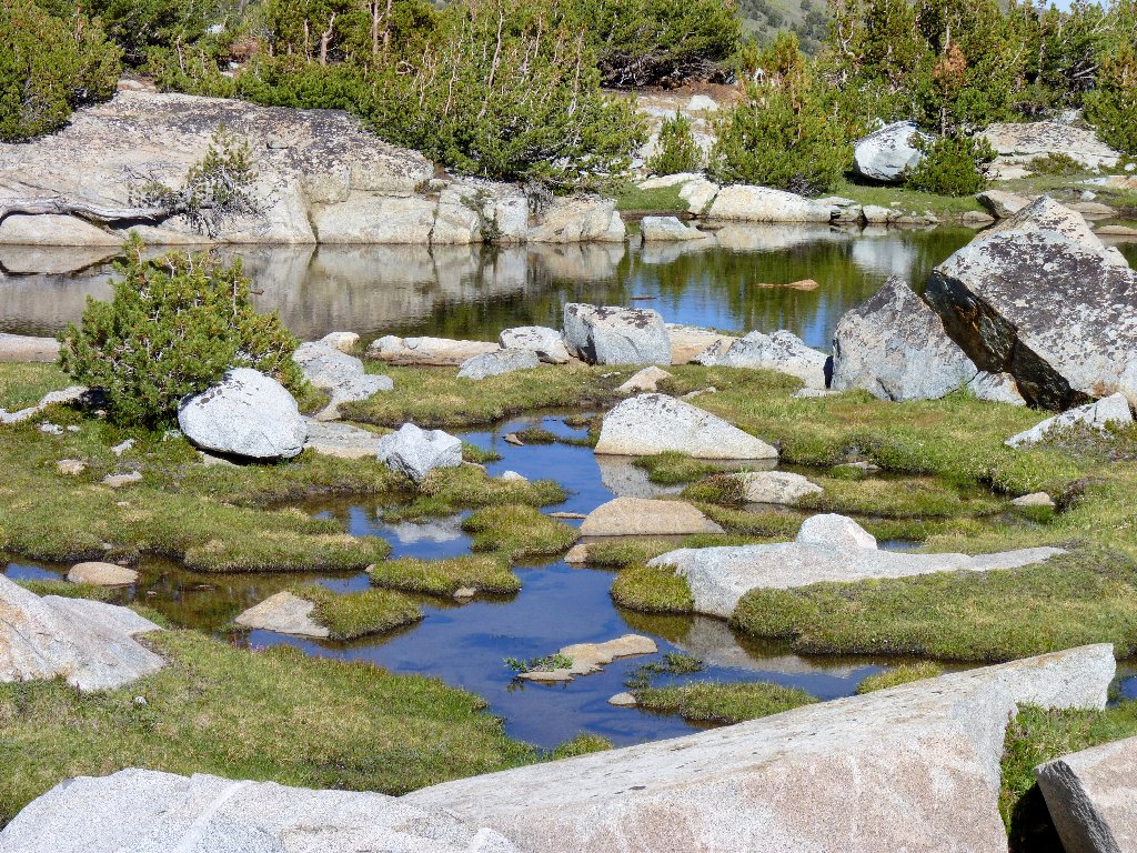
An unexpected pond provides a temporary diversion from the task ahead
After a stop to rest my feet and dry out my socks, I start up through the boulders. Sections of grass interspersed among the sharp rocks make for a relatively easy climb after all. Talus fields should all be like this!
A natural stairway
Looking down at Helen Lake
White Mountain Heather
Cushion Buckwheat
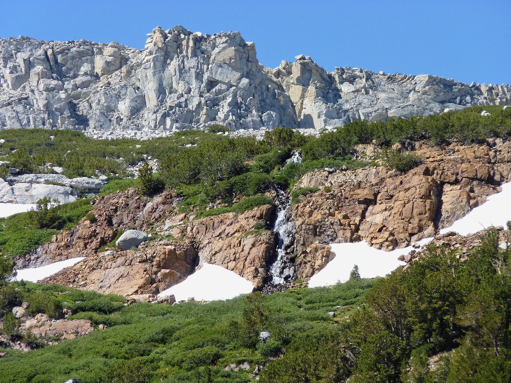
It comes as no surprise that the visual reward is worth any effort.
This cirque also represents the elevation high-point of today's route
and the highest I ever have been with a hiking pack. I am feeling pretty good
right now, despite having already climbed nearly 2,000 feet over nearly six miles.
That is important, because this trek is just beginning to become serious.
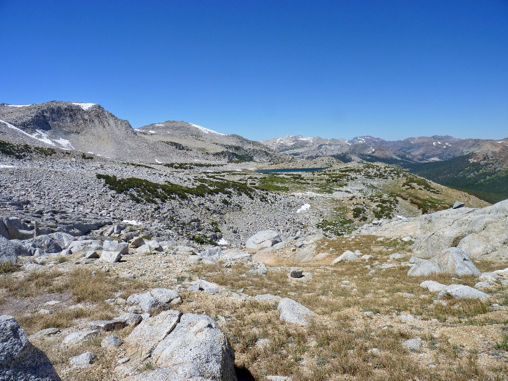
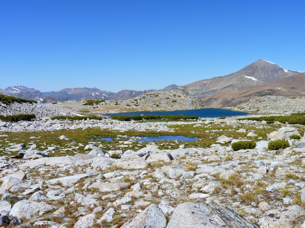
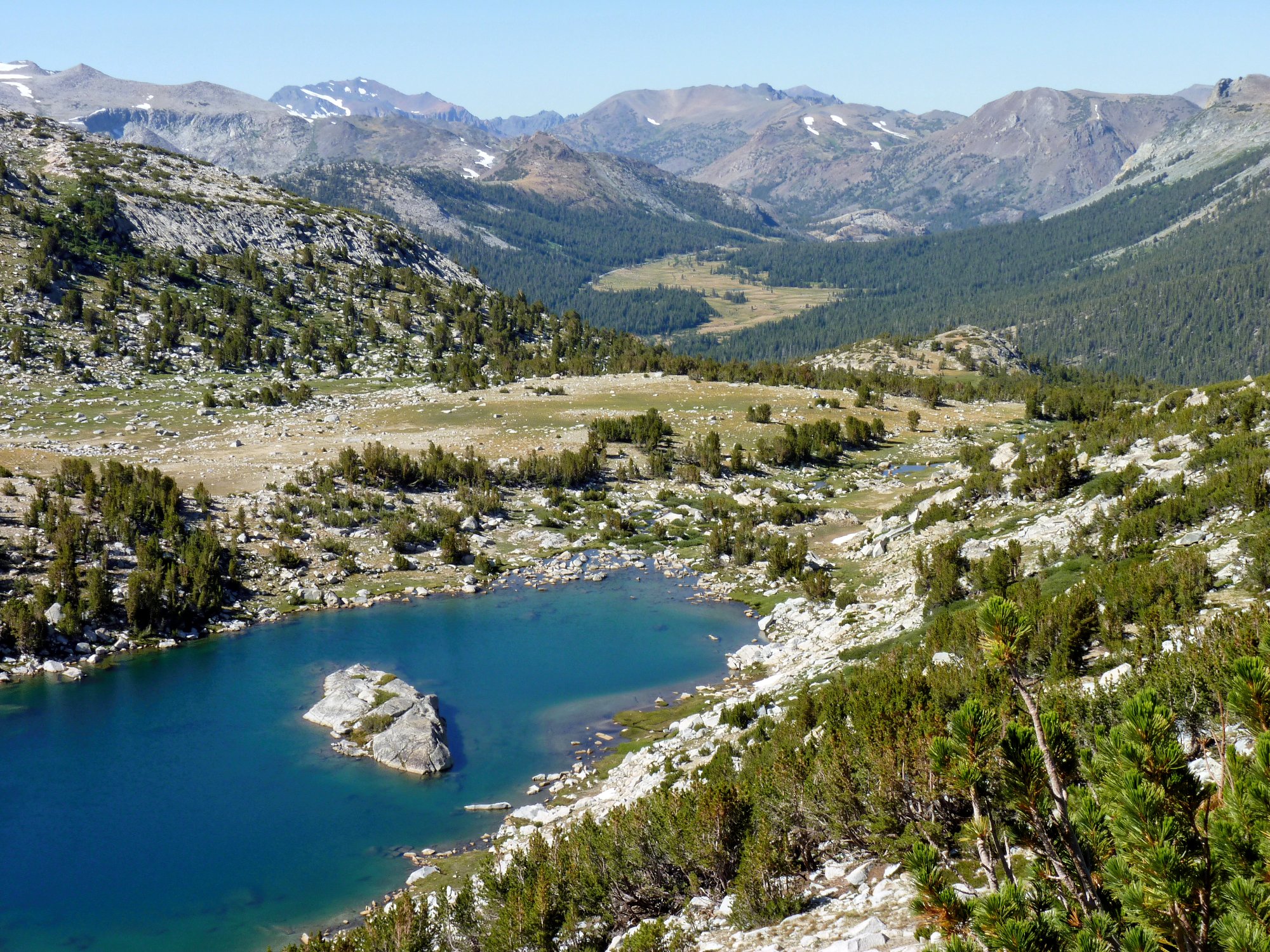
Lake 11507 and Peak 12202
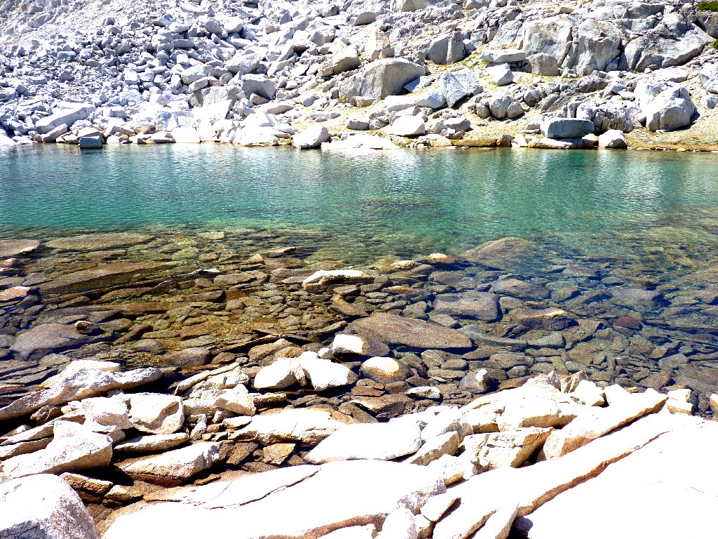
Green-colored lakes are my favorites
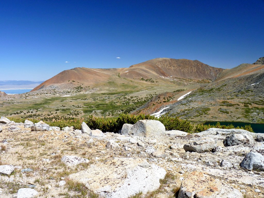
Mount Lewis, 12326'
Hello! What's that I see in the distance? Could it be Mono Lake? Yes! I knew that it was hiding over there behind Mono Pass, but I was unsure as to whether it would come into view from over here.
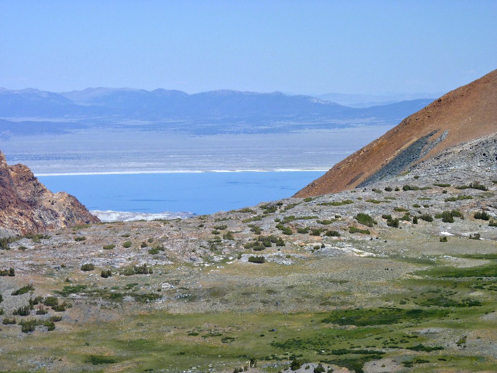
Mono Lake — North America's oldest and a personal favorite
Farewell, pretty lake; I might not see you again
Now it is time to address the next section of the route, which is expected to
be difficult. Although I can see Bingaman Lake about a mile away, there is
a deep, talus-infested chasm directly in front of me. Compounding
the problem is the fact that the next lake on the itinerary is nearly as high as
where I am standing now, which means that I should try to descend as little
as possible along the way.
Bingaman Lake is so near, yet so far
I clamber down among the giant boulders gingerly, hoping not to twist an
ankle in the process. Because of the mileage involved on this loop, I
elected not to wear my super-protective heavy boots today; yet perhaps
I should have. Since no other human is remotely close, it would be
especially bad form to incur a debilitating ankle injury at this time.
Although I have cleverly posted a trip itinerary on my auto dashboard,
no one would find me for quite a while.
A big snowbank lies between me and the other side of the gully. After traversing as far as possible on the rocks, I steel myself and plunge out onto the white stuff. Walking sideways on a wet slope is rather more difficult than going up or down, so I make the lengthy crossing a bit easier by angling uphill. My lightweight boots also don't happen to be waterproof, but the snow is firm enough today that my feet remain dry. This is good.
Actually, this snow crossing has saved me a lot of hassle. With the winter adventure behind me, scrambling up the scree on the far slope is just a formality. At the top I am treated to yet another outstanding eastward vista.
Mount Gibbs on the left and Peak 11819 on the right ⇔
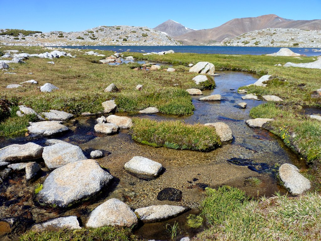
In the other direction is the next lake in the series, hanging just below the mountain crest. Its outlet is the creek that I had observed cascading down into Spillway Lake.

Lake 11309
Just another green guy
Now I feel really good! The hard work is behind me, and it is mostly downhill from here. Negotiating the boulder field over to Bingaman Lake isn't a cakewalk, but it is rather fun. The area's paucity of trees and bushes is more than offset by all the moist grasses and running water.
I have not visited another place quite like this
John W. Bingaman was a park ranger from 1921 to 1956. In 1930 he made a solo trip to plant this unnamed body with 6,000 rainbow trout loaded on a pair of mules. His mission being a success, Bingaman felt justified in naming the lake after himself. The moniker stuck.
Ranger Bingaman also wrote many articles about Yosemite, including The Ahwahneechees: A Story of the Yosemite Indians (1966).
Mount Dana, 13061', and Mount Gibbs, 12772'
The waters of Bingaman
Looking north
From the other side of the lake, there should be a nice overhead view of Spillway Lake some seven hundred feet below. Detouring over there, however, would entail quite a bit of additional travel. Perhaps I should not forgo that option, but I do.
Also, a tiny tarn lies just west of here. I amble over in that
direction to see whether I can get a glimpse of the water; but it becomes
clear that another serious talus-scramble would be necessary,
and I have had enough of that for one outing.
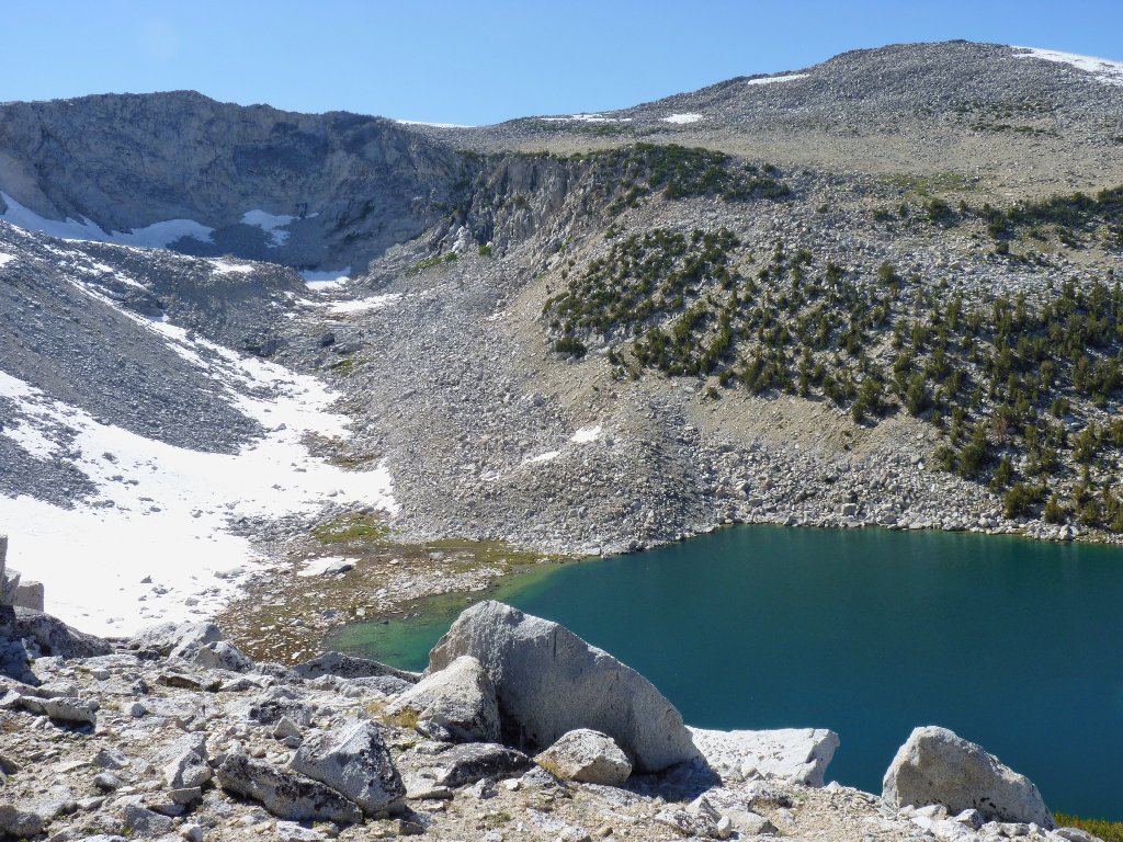
Bingaman Lake, 11142', and the Kuna Crags
A ten-minute scamper northward, plus a one-minute detour to the left, begets what just might be my best view of the day. Oh, my!
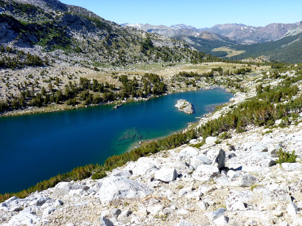
Kuna Lake, 10797'
This is one of the prettiest places in the park that hardly anyone knows about. It distresses me somewhat that I am unable to fit the entire lake into a single photograph. I am not too upset, however, to give my feet another rest and let my socks soak up some more sunlight.
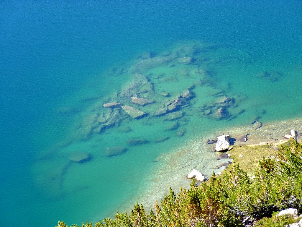
The lake is more than 200 feet below
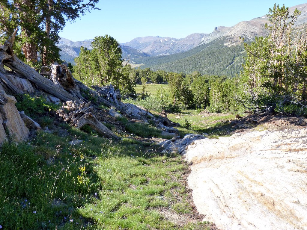
This scene is worthy of another shot:
At the top of the S-shaped meadow are Highway-120 and the
Tioga Entrance Station ⇔
Needing now only to find a way down the hill and make my way over
to the main trail, I am unsure of the best plan. I could follow
the Kuna Lake outlet stream as it winds downhill, but it looks as if
there might be a more direct route. I head northeast for a
quarter-mile, over to a pond that is indicated on the map and which
proves to be a very pleasant little spot.
The prettiest pond of the day
The creek heads directly toward Mount Dana
Just north of the pond's outlet are some small red cliffs that are easily negotiated.
Probably not the easiest route down, but not a problem either
The path of least resistance leads northward through a long meadow, so I am content to follow it.
Heading directly toward the car must be okay
Unexpectedly, I encounter a big garden dominated by lupine. It is impossible to get through this area without trampling flowers.
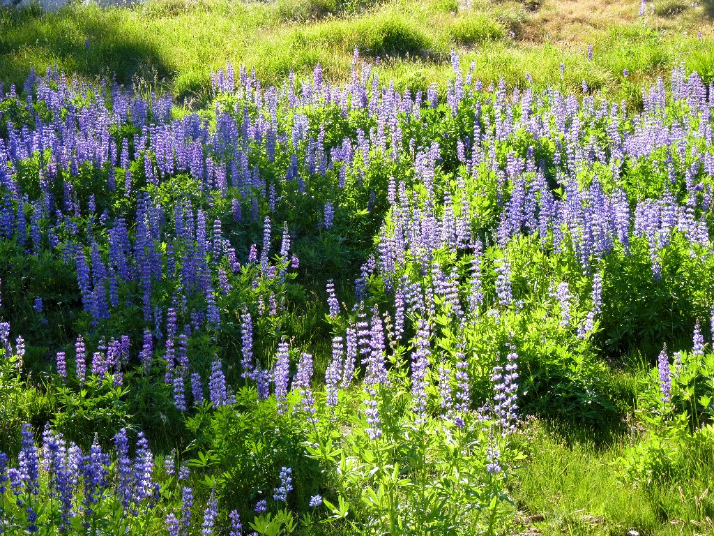
What a nice garden
Eventually I am compelled to enter the forest. I veer to
the right in order to get down to the valley bottom more quickly,
so as not to intersect the trail beyond the point where my shirt is
stashed. One issue does remain — crossing Parker Pass
Creek without getting wet. I don't know whether that can be done,
because the stream is pretty wide down here.
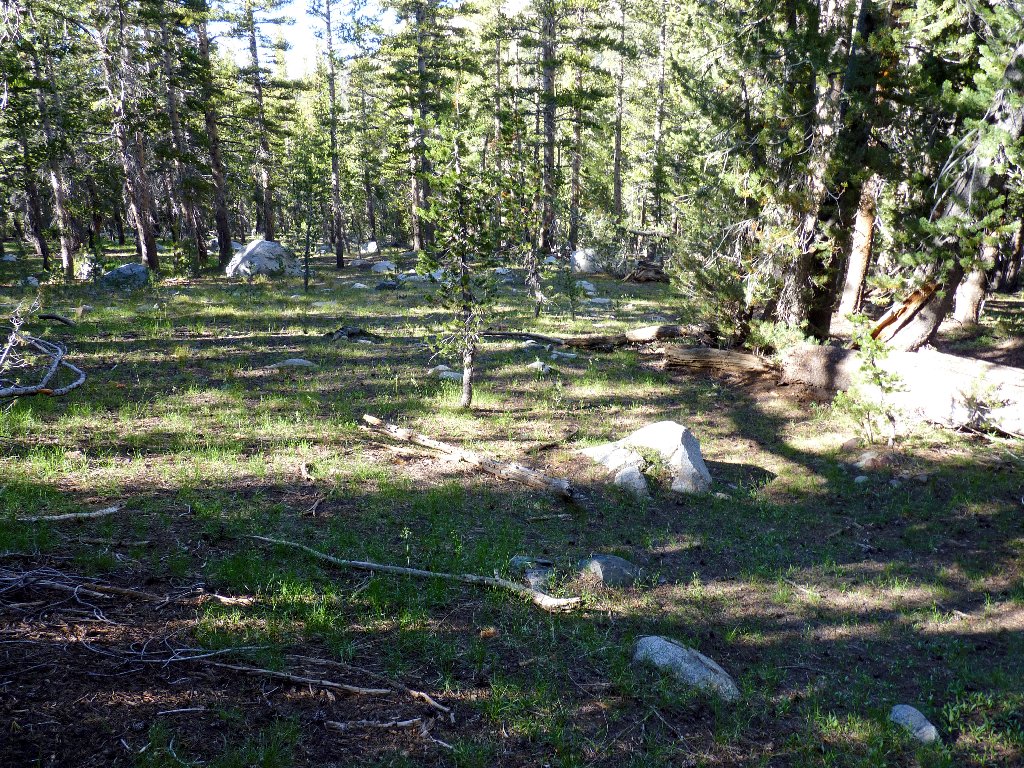
Traversing the forest
Serendipitously, I discover that a dead tree has fallen across the creek just a few yards from where I emerge from the forest. Wonderful! Although the tree bounces up and down as I wrestle with the branches, I make it across without incident. Five minutes later I am back on the Mono Pass Trail.
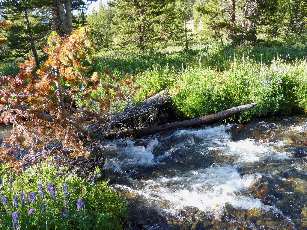
This tree saves me from having to wade the creek
Presently, a lone backpacker jaunts up the path, the first human I have
seen in nearly eight hours. The man assures me that I am only about
ten minutes from the trailhead. But that's not good; for if it is
true, then I have gone too far. Something does not compute, however,
because I have not re-crossed the Dana Fork. Surely enough,
after another ten minutes of walking I do find the crossing, retrieve my
shirt, and continue yet another fifteen minutes to the trailhead.

Dana Fork of the Tuolumne River
It is nearly 6 p.m. at the finish
§: What more need I say? After being near the top of my
to-do list for several years, this hike has more than lived up to
expectations. The great diversity of terrain encountered, combined
with the exceptional beauty of virtually the entire walk, ranks this as
one of my most outstanding outings ever. Having covered six miles
off-trail also is a personal record for a single day, and I wasn't
bothered a bit by bugs.
Should ever I revisit the Bingaman Lake area, I will be sure to go over and look down at Spillway Lake; and I will descend to the Kuna Lake shoreline and follow its outlet creek down the hillside.
For those disinclined to do this entire route, a relatively tame
mini-loop could be accomplished by taking the trail to Spillway
Lake, then scrambling westward up the hill toward Bingaman Lake and possibly
Lake 11309. Proceed northward from there to the Kuna Lake overlook,
then go back down any which way.
| Scenery |  |
| Difficulty |  |
| Personality |  |
| Adventure | |
| Solitude | |
