
Yosemite National Park
|
Vogelsang Pass Yosemite National Park |
August 18, 2011
Having arrived at Vogelsang High Sierra Camp yesterday after a 7-mile
walk that proved more tiring than its mere 1,700-foot gain would suggest,
I feel somewhat run-down today despite a nice dinner and a huge breakfast
in the camp dining hall; so I am unsure as to how far I will wish to travel today.
On most hikes, one must walk for a while to get to the 'good stuff'. That is not the case here, because this camp, located at over 10,000 feet elevation, is already there! A worthwhile destination in itself, this could well be the most scenic trailhead I have utilized.
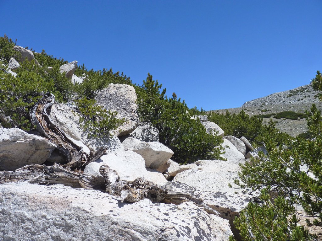
The trail starts behind the dining tent
Yesterday, the famous Ranger Dave showed up with the usual troop of hikers
on his standard 5-camp loop. Well known for his claim to have
the "best job in the world", Dave is a fascinating storehouse of
environmental knowledge and park information. I prodded him for a
couple of pointers on today's walk, which I hope to put to good use.
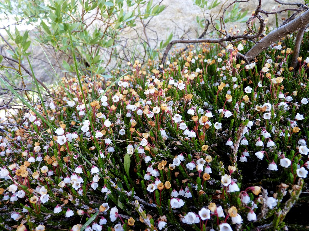
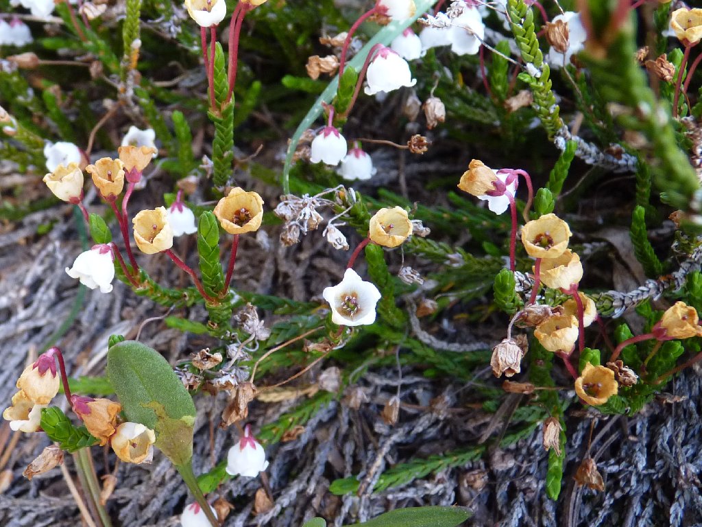
The White Mountain Heather are out in force
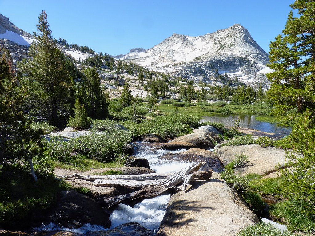
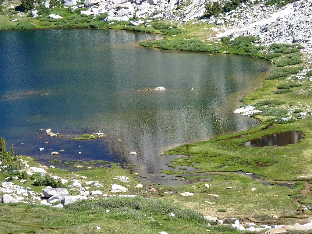
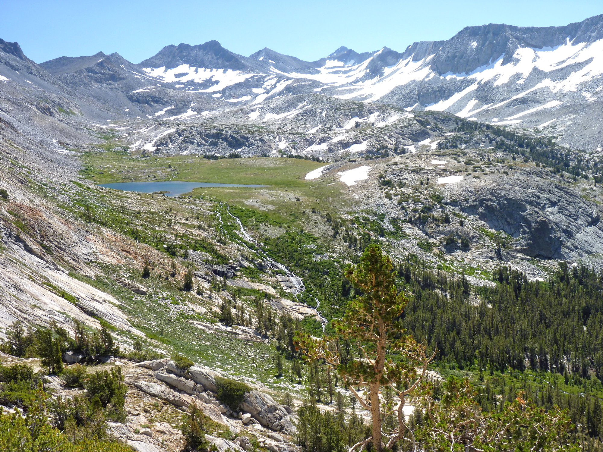
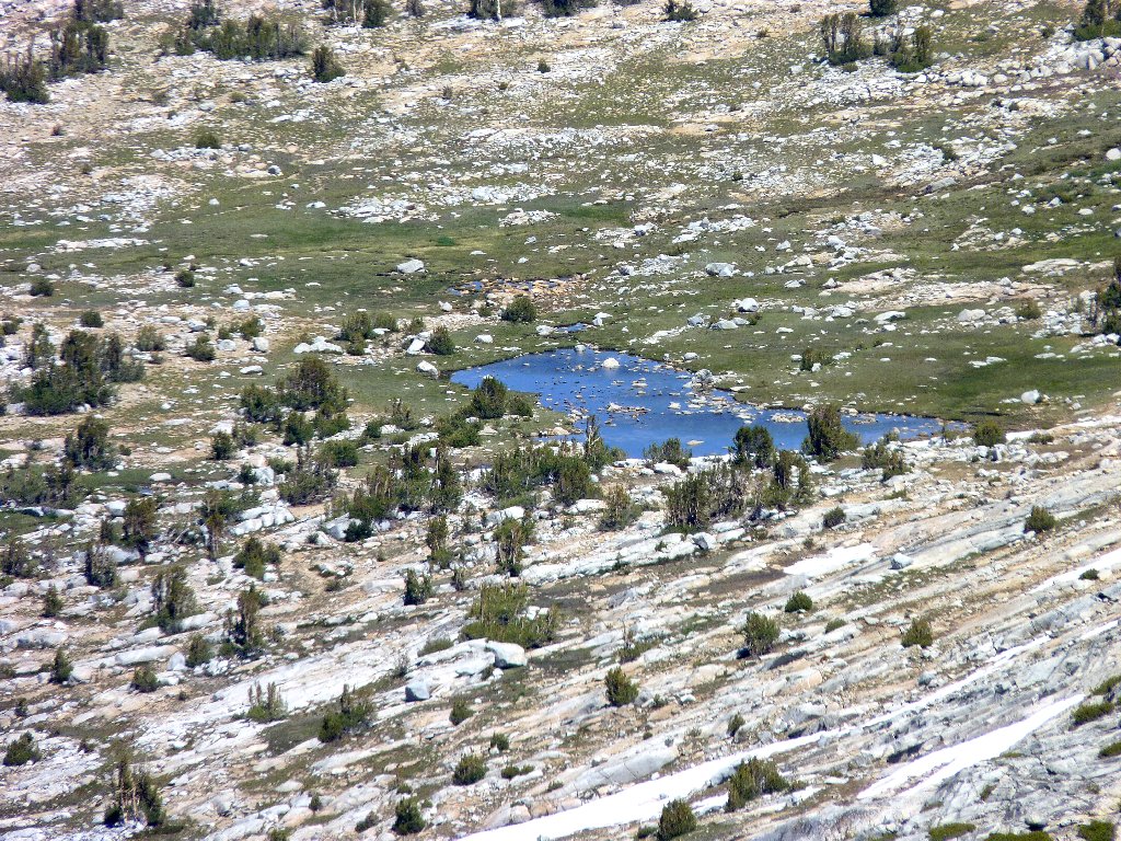
It is only a short way up the mountain to Vogelsang Lake, which virtually hangs over the camp.
Up the Vogelsang Pass Trail
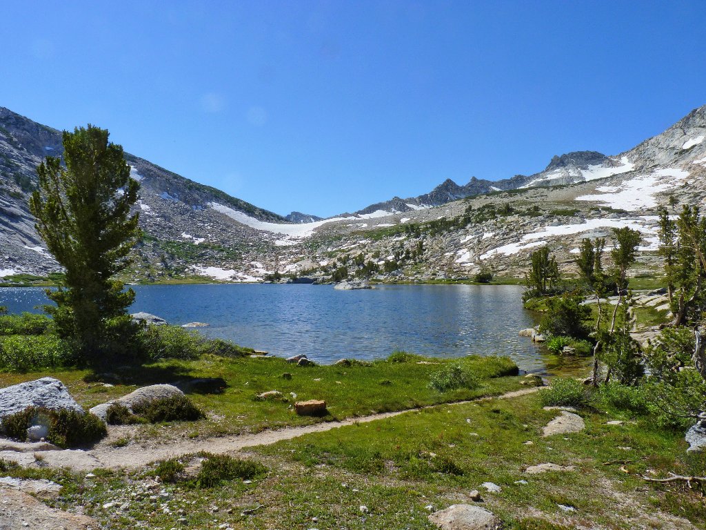
First view of Vogelsang Lake
The trail veers around the fragile meadow
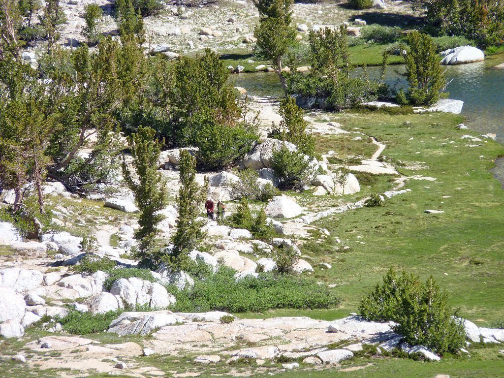
I spot a couple of hikers behind me; but then they disappear, not to be seen again.
A spectacular setting below Fletcher Peak
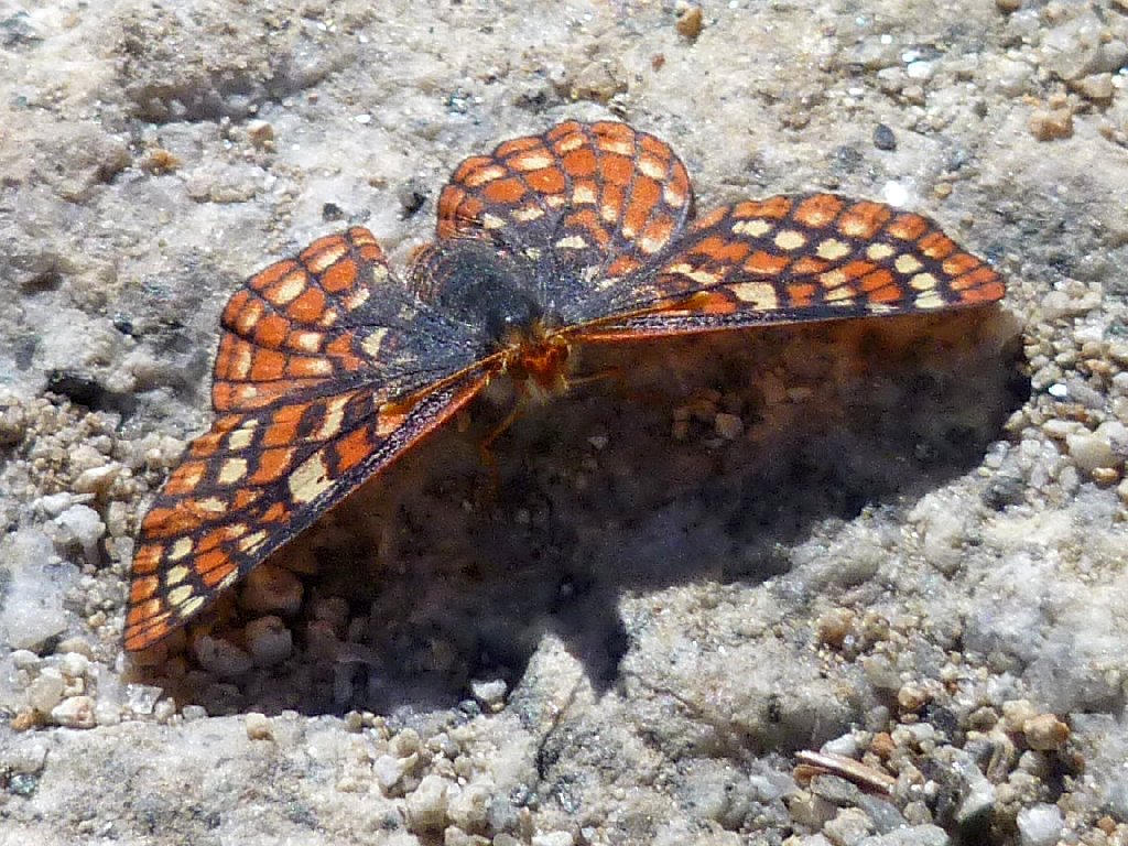
An Edith's Checkerspot wants to share the trail
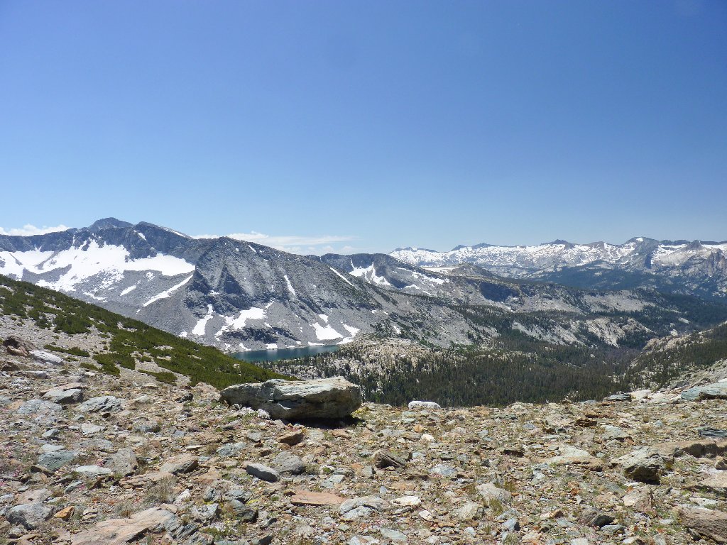
This mountain pass is amazingly accessible. I am most anxious to see what lies on the other side.
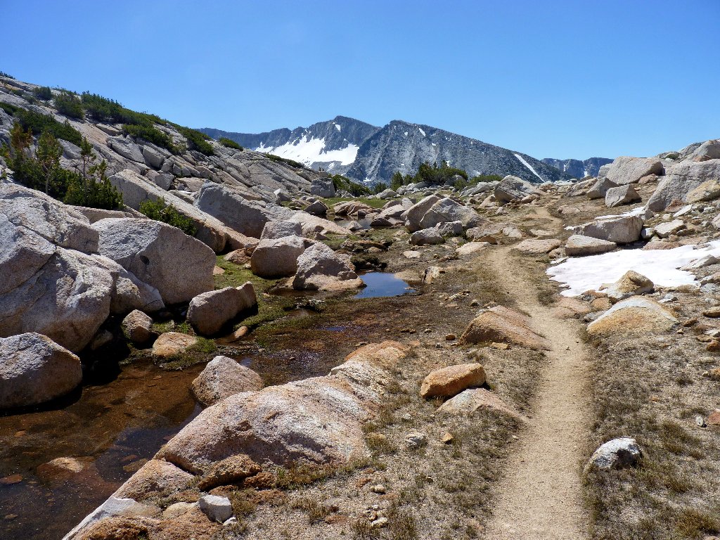
Almost at the pass
Last year I wrote about having reached the top of Virginia Lakes Pass, where I encountered a view so stunning that it took my breath away. Well, it has just happened again. Oh, my!
This is why I go hiking ⇔
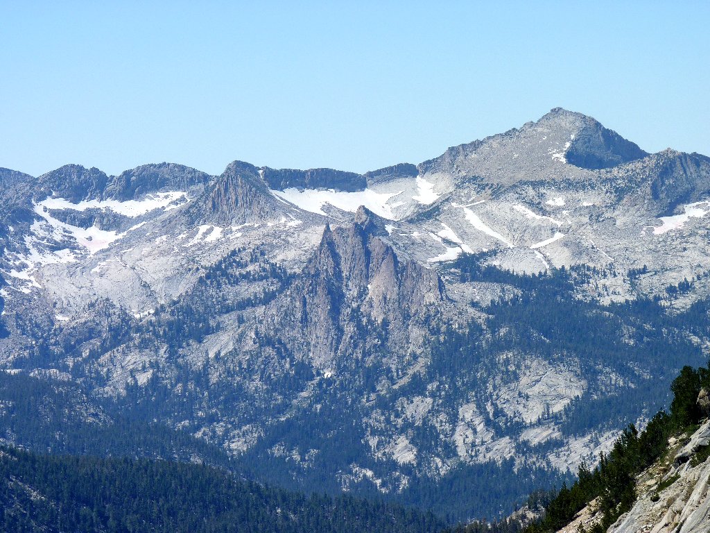
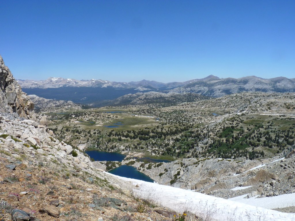
The apex of the Cathedral Range is right there — Simmons Peak, Mount Maclure, and Mount Lyell, the tallest in the park. In view are both of Yosemite's remaining glaciers. The Maclure Glacier still moves down the mountain at about an inch per day. The Lyell Glacier, however, second biggest in the Sierra, has stopped moving, which means that technically it no longer qualifies as a glacier at all. Along with their counterparts in Glacier National Park, these bodies are projected to be gone within a couple of decades.
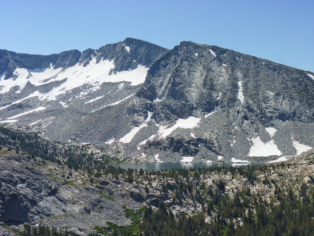
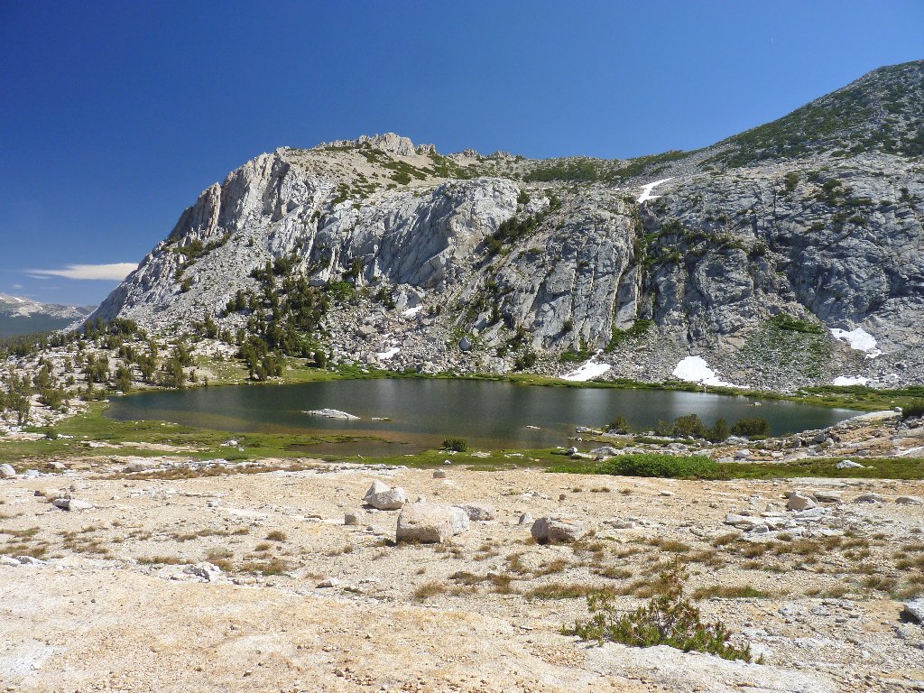
Bernice Lake below Mount Florence
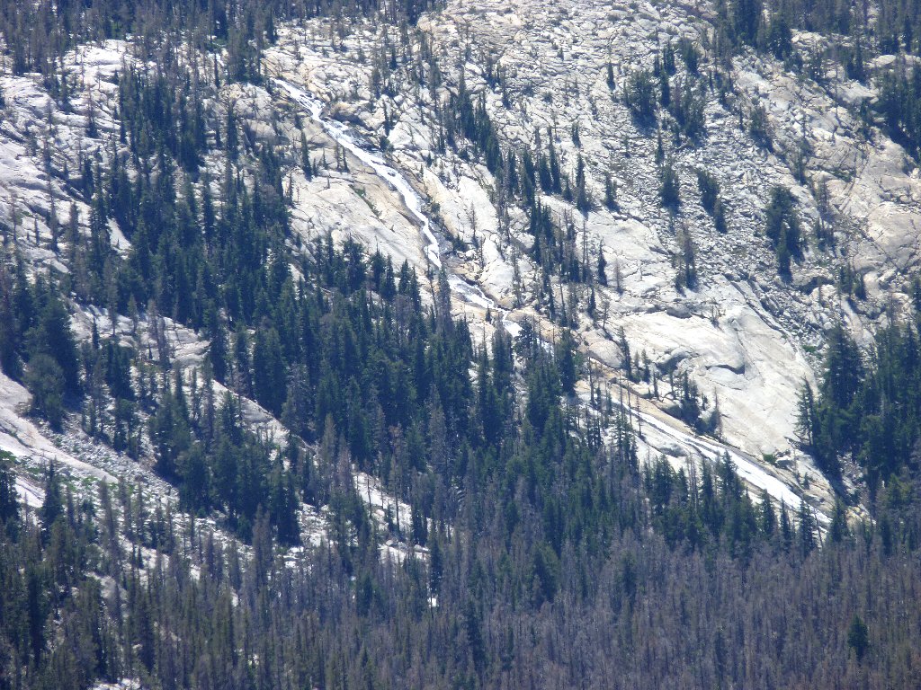
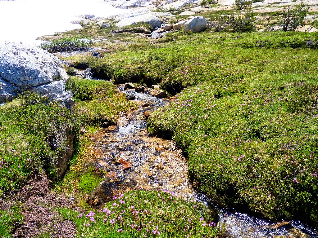
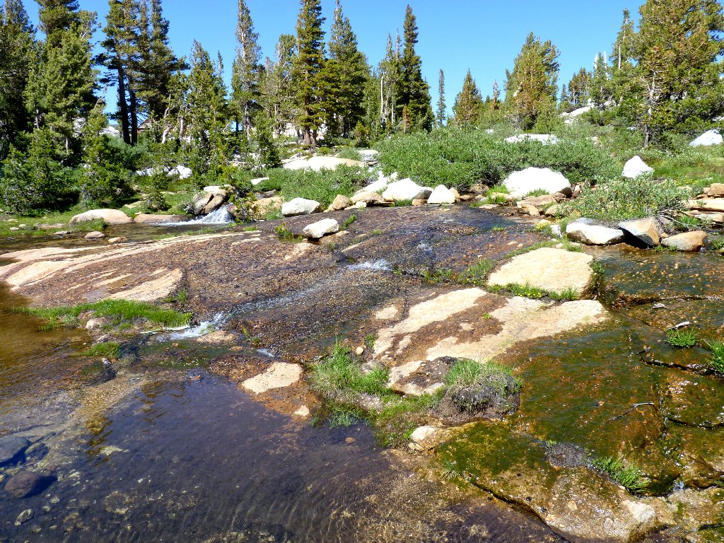
The Lewis Creek Cascade empties Gallison Lake, one of just two in this drainage that have been named. A dozen other lakes lie out of sight upstream; I wish that I could see them as well. Perhaps the most amazing fact of all is that there is no maintained trail up into that area. The track that I am on curves back to the southwest below the cascade.
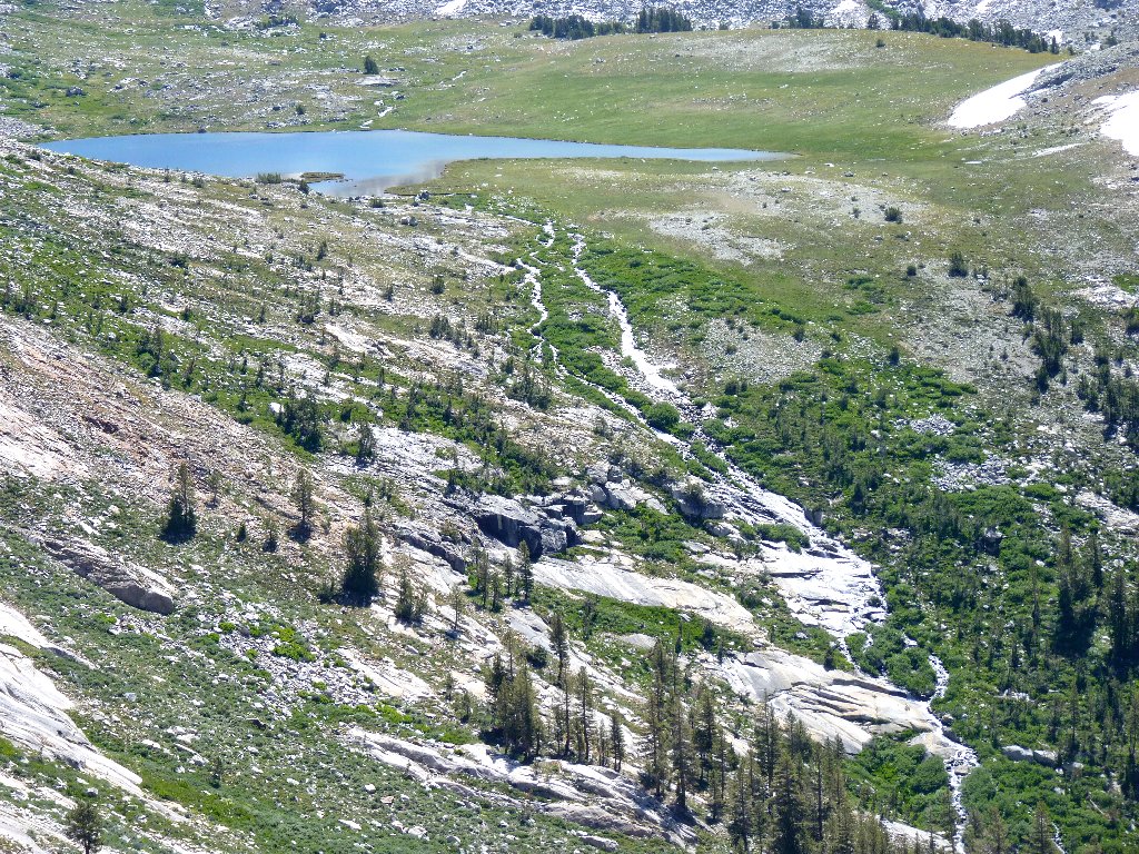
Pleasant sounds emanate from the Lewis Creek cascade
This trail is one of two routes from Vogelsang HSC to Merced Lake HSC. Termed the "high road" by Ranger Dave, he opted to take his group the other way today because two of its members were "suffering". Although the ranger had stated that no one would be dissatisfied either way, those folk are missing out on the finest vista that they will never see.
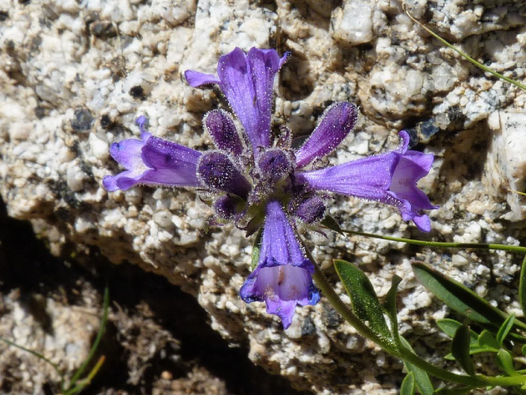
Sierra Penstemon
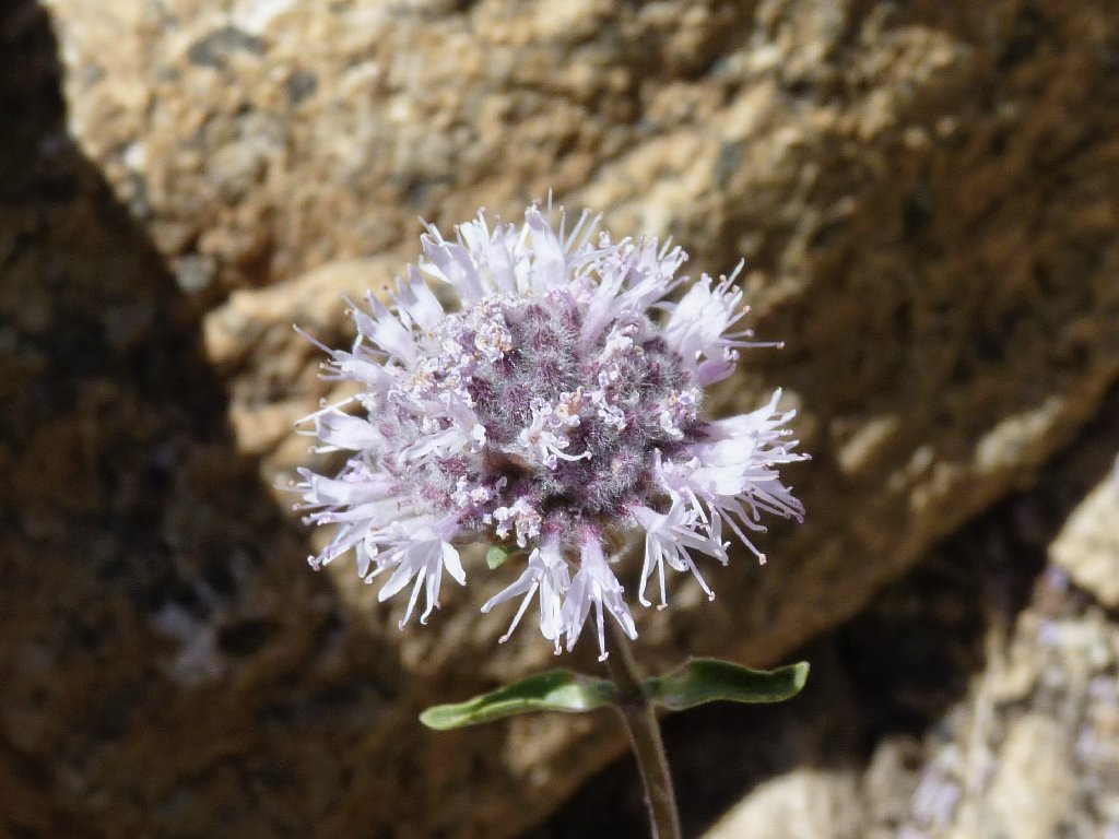
Mountain Monardella
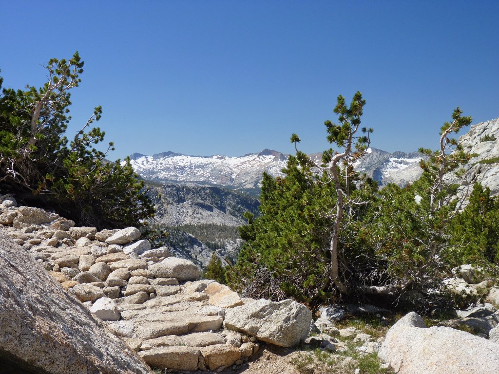
The eastward view isn't the only one; there is some pretty interesting stuff in the other direction as well:
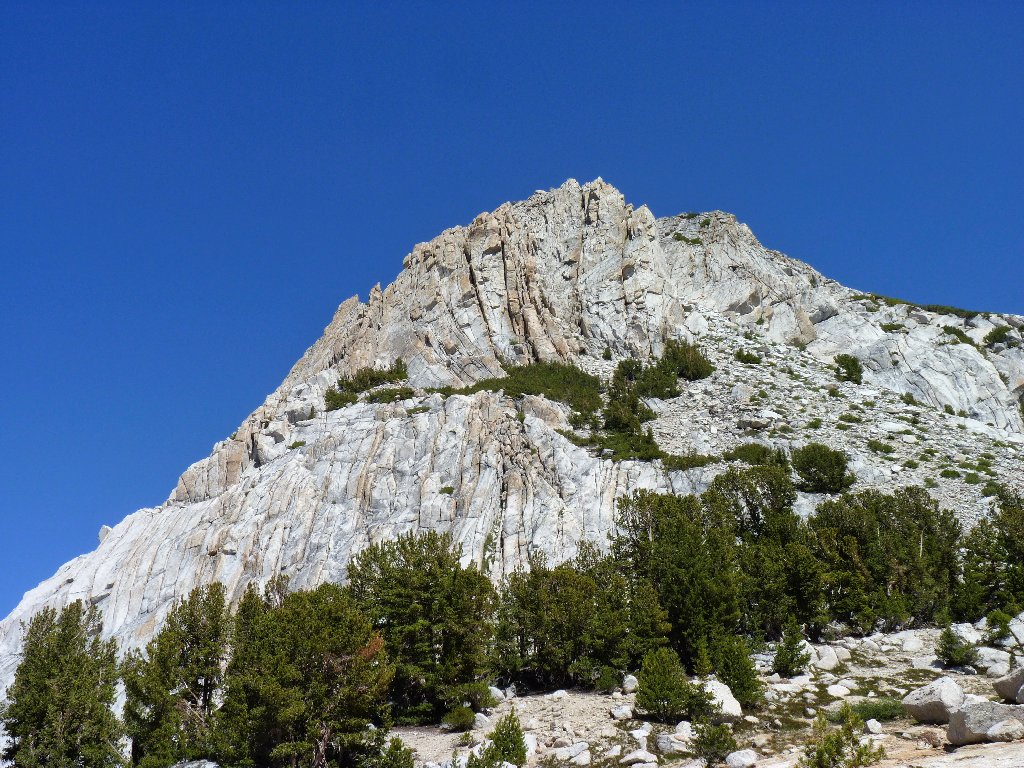
The Cony Crags are dwarfed by Quartzite Peak, 10414'
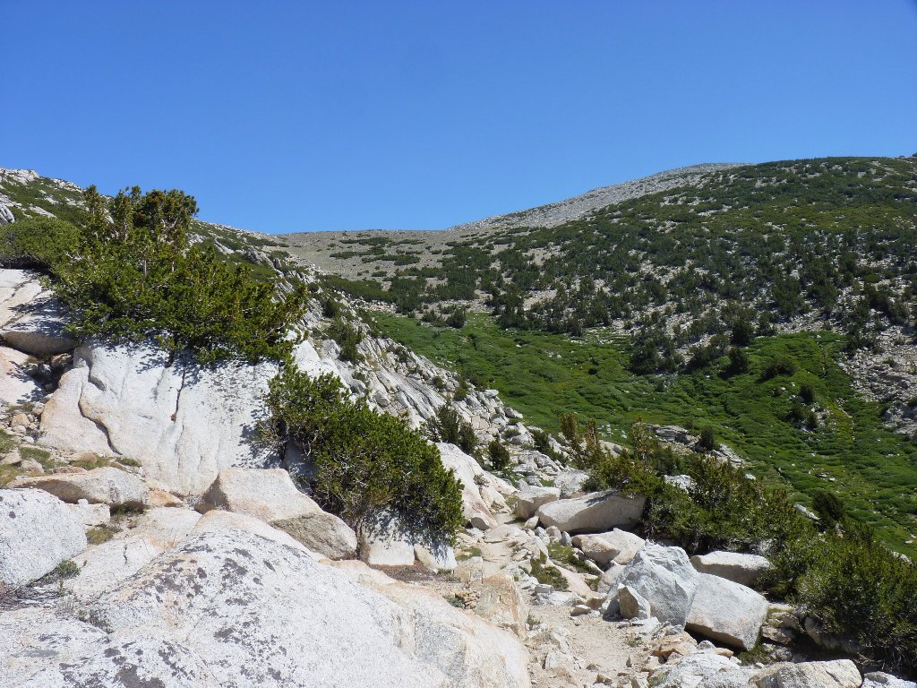
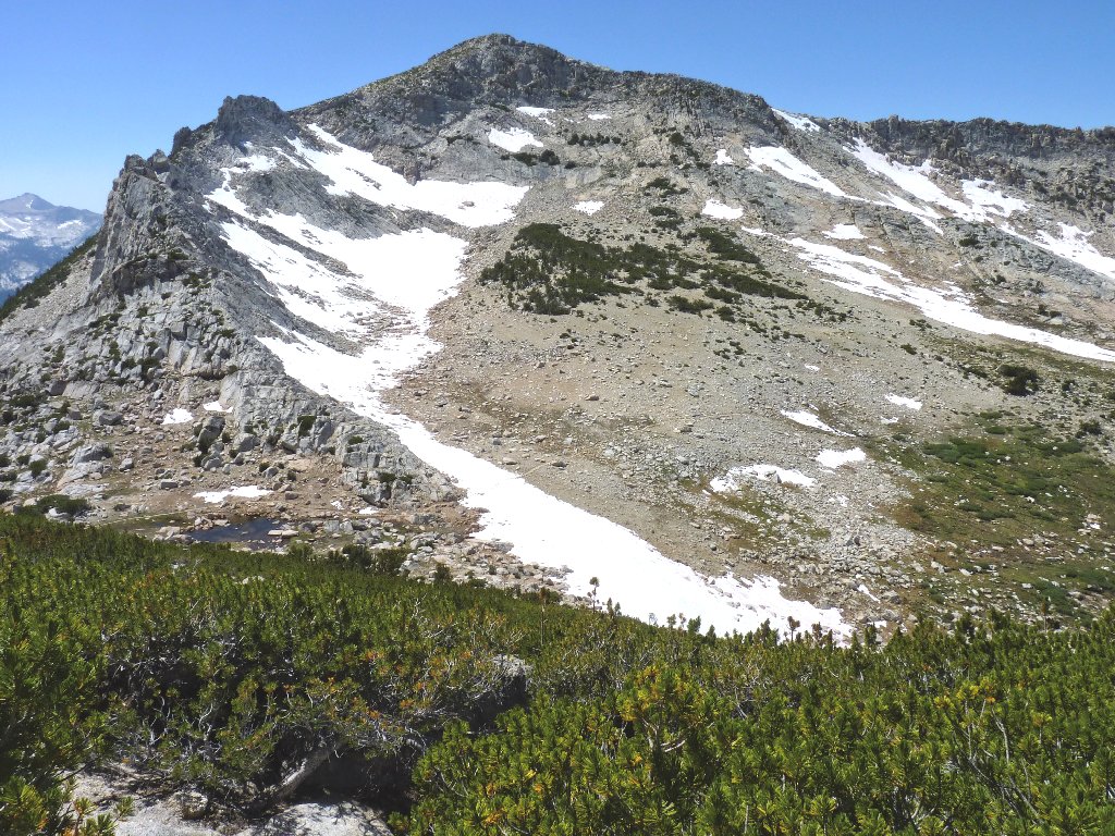
Although I already have seen enough to make my trek worthwhile, I have traveled little more than a mile from camp, and I have an eye on even greater things. Above me is a long, thin plateau between Fletcher Peak and Parsons Peak. The scenery should be extra-special from up there.
Finding a way uphill through that giant willow patch is not an attractive prospect, but perhaps there is a better way. Last night, Ranger Dave told me that it was an easy walk up the slope from here to Fletcher Peak, so I will test his assessment. Although I don't care about the peak itself, I'll be heading in the right direction. The route begins on a convenient natural staircase of granite slabs.
The objective is right up there
So long to Vogelsang Lake, for now
Well, this route might have been a piece of cake for an ultra-fit
park ranger; but I am finding it rather enervating. There are numerous
bootprints around and even an occasional cairn, yet I cannot find a path that
does not involve some bushwhacking and a lot of hands-on scrambling.
Whatever route I choose seems later not to have been the best option.
Am I having fun yet?
In two spots I actually consider calling it quits, but something drives me on. Knowing that my reward will be considerable, and having planned this particular adventure for two years, I press on, and luckily so. After negotiating a final talus jumble, I find myself above the willow forest on solid open ground. Success! From here it is just a matter of switchbacking up the last few hundred feet, with half a dozen stops for catching breaths.
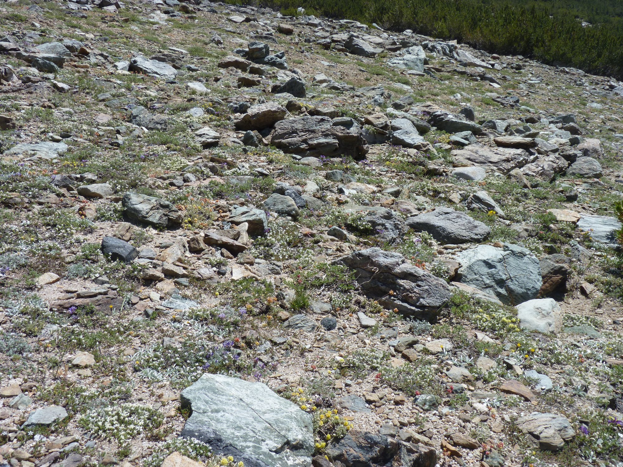
Is this a barren rock field? Click on the image
for the answer ⇔
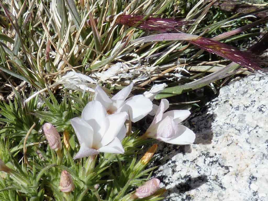
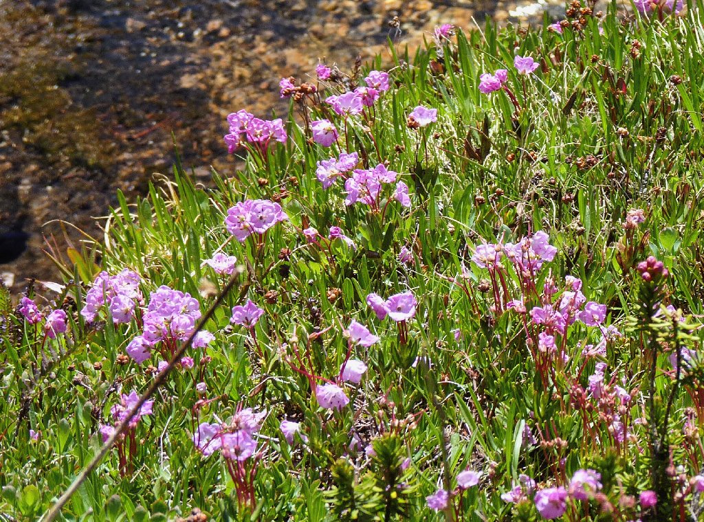
In fact, there are so many flowers that I cannot avoid stepping on them. All of these guys grow pretty close to the ground, including penstemon, phlox, dwarf lupine, and several varieties of buckwheat.
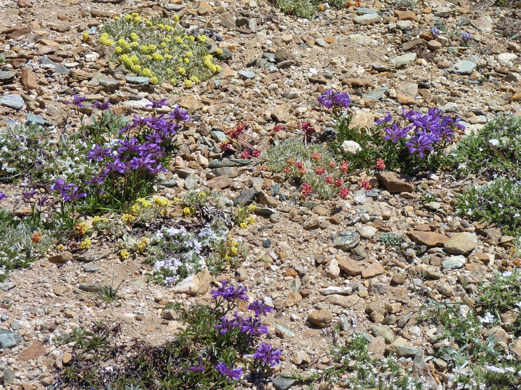
A magnificent garden above 11,000 feet
I am nearly atop the saddle. The actual high-point of Fletcher Peak is just to my left. The climb from Vogelsang Pass has been about 600 feet, although it seems like more.
Bernice Lake and the Clark Range behind me
Once again I am stopped dead in my tracks at the summit, for in front of me is another superlative view. Despite some advance knowledge from map studies, I stand in awe of my surroundings.
Mount Conness and Mount Dana in the northern skyline
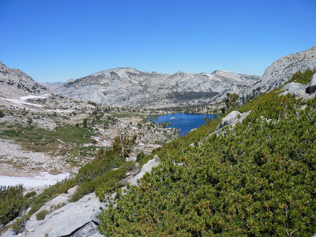
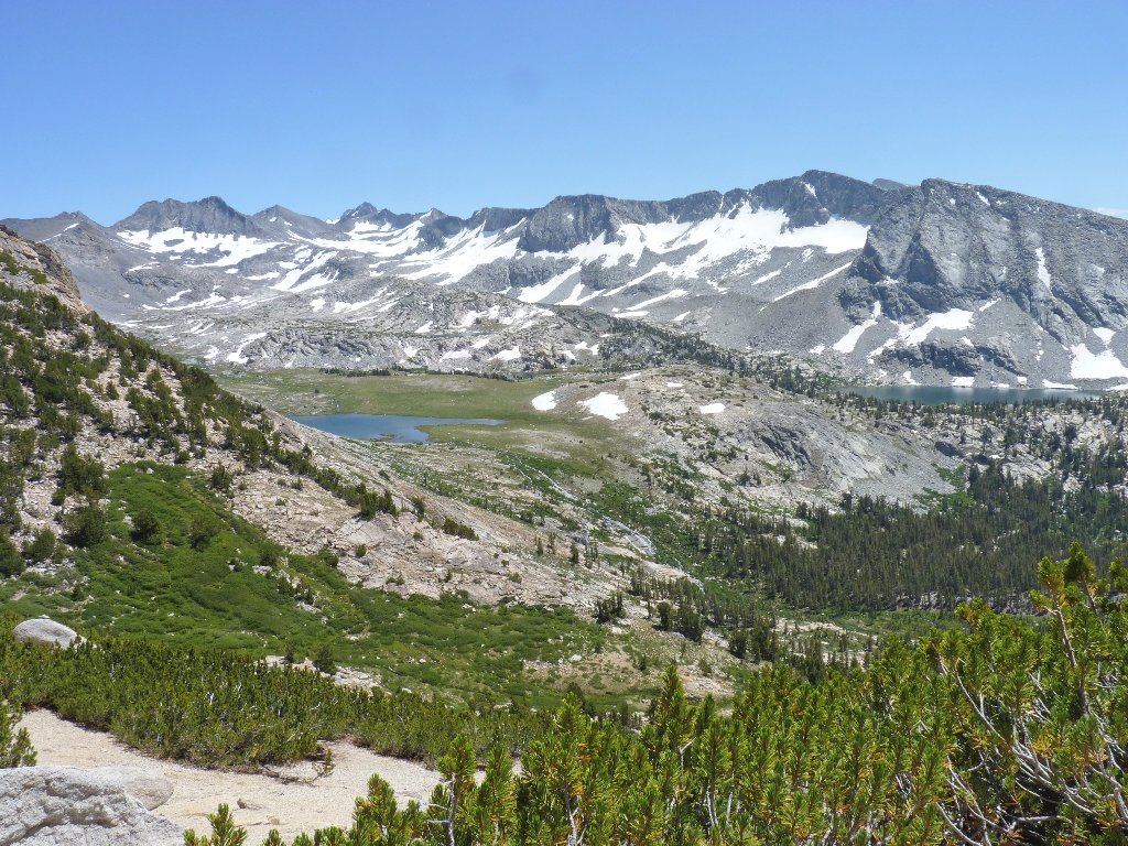
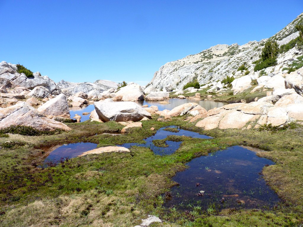
Hanging Basket Lake is nearest, with Townsley Lake just behind it. In the distance are Evelyn Lake and the nearest mapped trail. A dozen other unnamed lakes and ponds are in view as well.
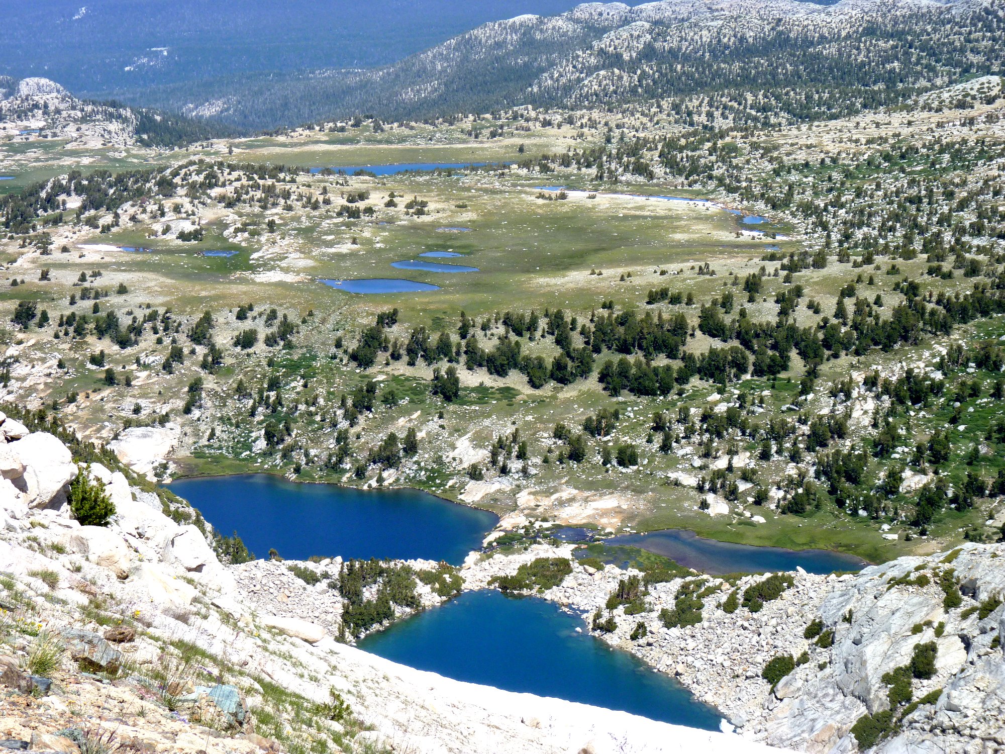
A cross-country explorer's delight ⇔
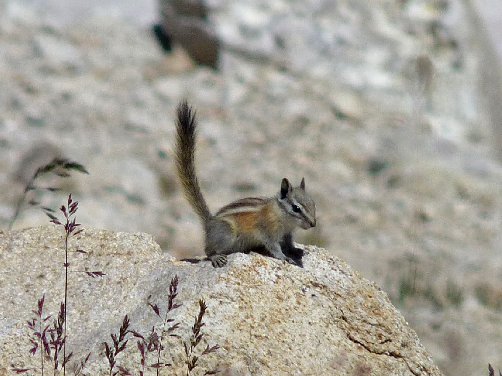
Chipmunk
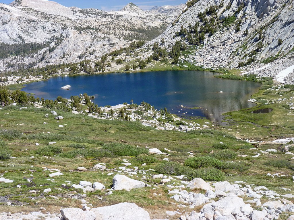
Just another nice pond

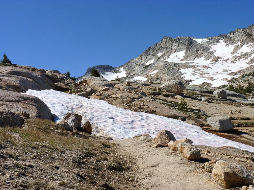
Hanging Basket Lake and its permanent icefield
Ordinarily I would not hesitate to continue up another four hundred feet to even better vistas. My basic objective has been satisfied, however, and I definitely am not in good form today; so I will stop here, realizing that I might well regret that decision. I briefly toy with the idea of heading straight down the snow and talus to the lake below, but the going looks quite difficult and somewhat risky. Because I am alone up here, that would not be a good plan.
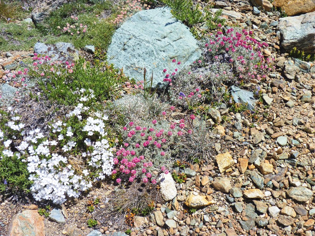
Prickly Phlox
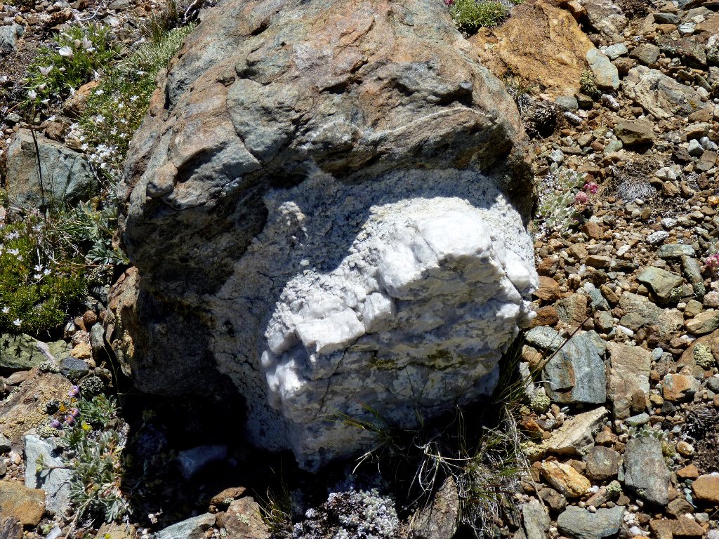
It looks like marble inside lava
As expected, a better knowledge of the layout makes the descent easier. Without too much hassle I reacquire the main trail, a couple hundred feet east of where I started.
Starting down the hill
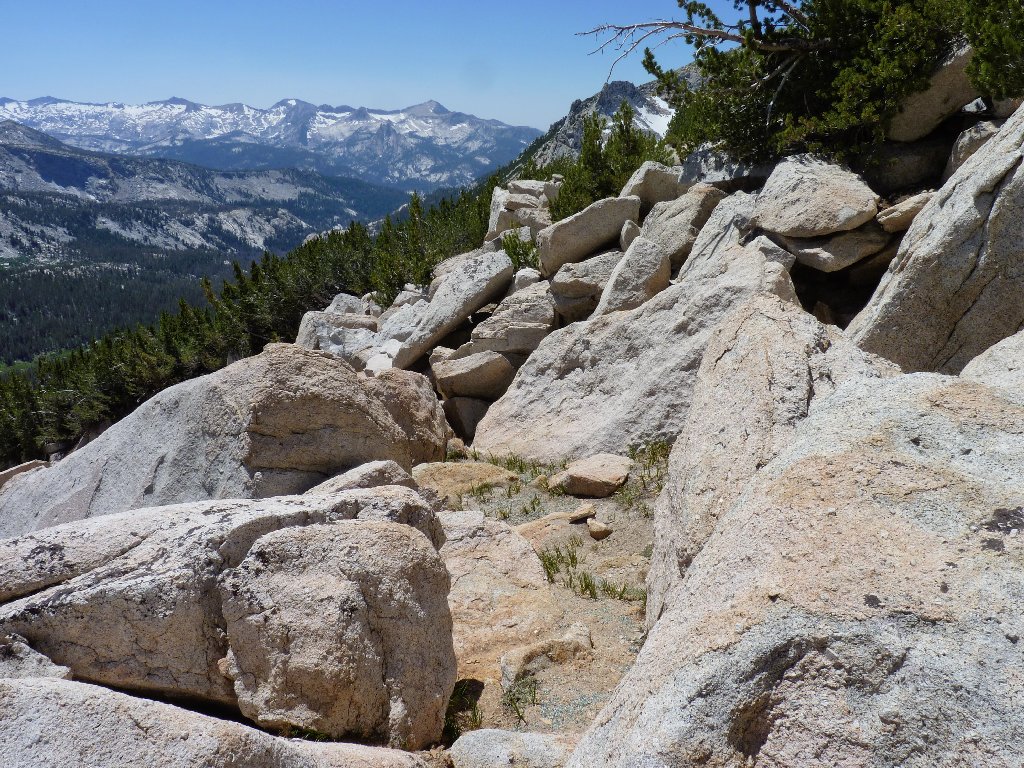
Back in the boulders
On the way down, there is ample opportunity to take in more views of the Lewis Creek area.
Gallison Lake and Bernice Lake ⇔
Ranger Dave said that the Florence Creek Cascade is about a thousand feet high; that sounds about right. The falls are accessible from the trail below.
Florence Creek Cascade
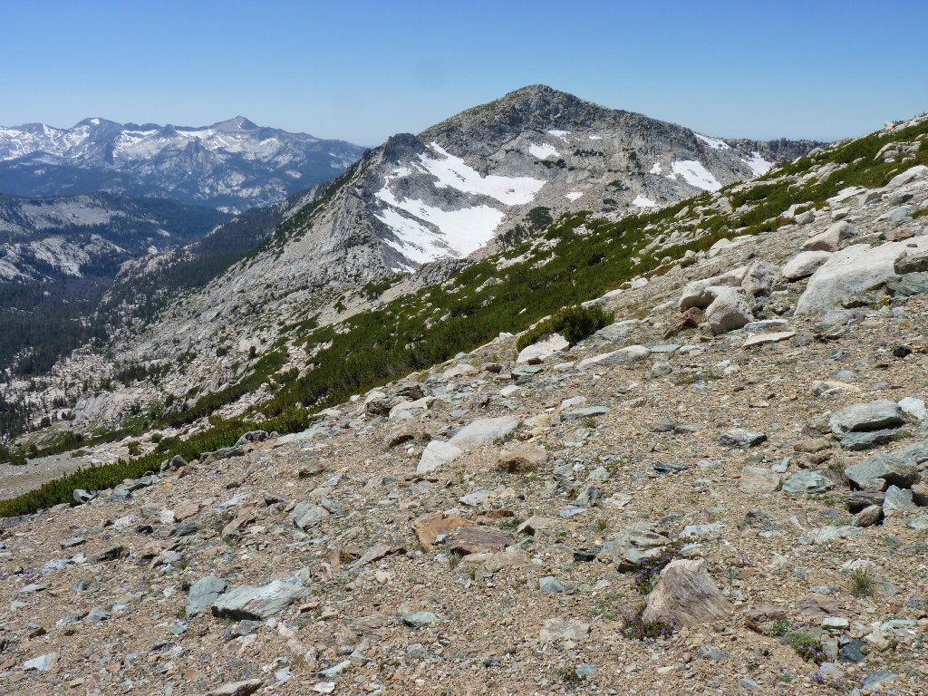
Vogelsang Peak, 11498'
At dinner last night, another hiker had mentioned the quail-like birds that he had seen. I am fortunate enough to spot one of them right here at the pass.
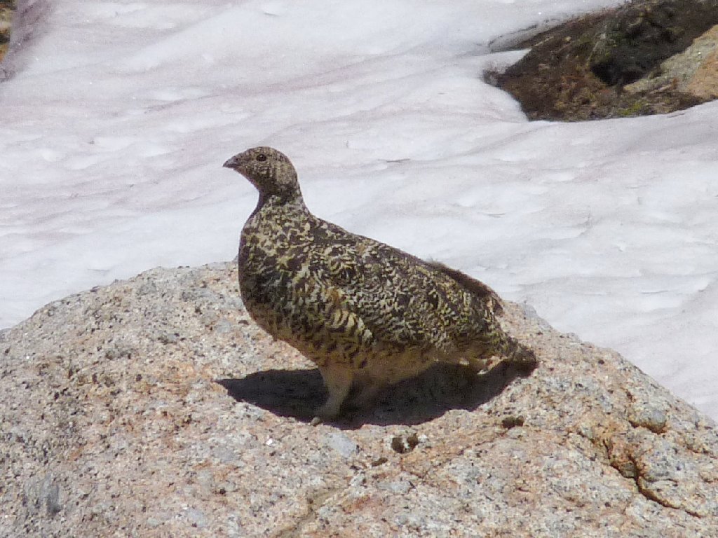
A female Ptarmigan
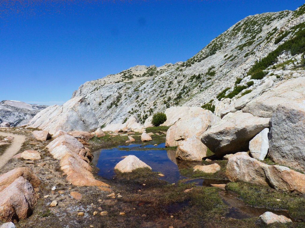
Not many mountain passes feature ponds nestled in pink rocks
I would like to stop here and rest my feet, but the ubiquitous mosquitoes will not allow it. With a heavy sigh, I abandon the idea. I do, however, brave their intrusions in order to take a few more photographs before my walk is finished.
Mountain Laurel
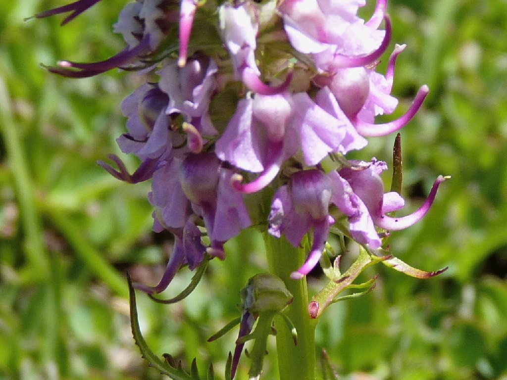
Elephant Heads
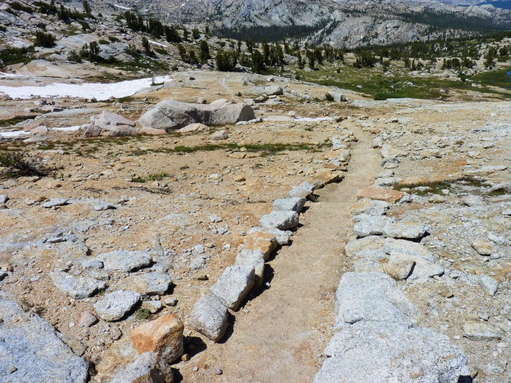
I won't get lost here
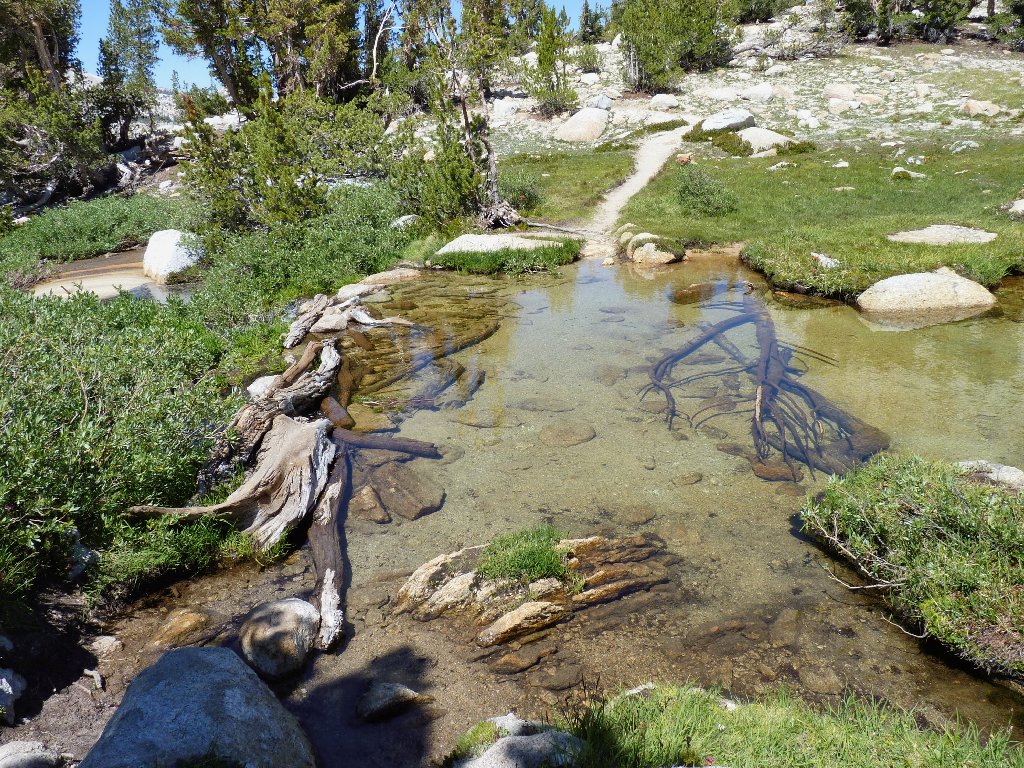
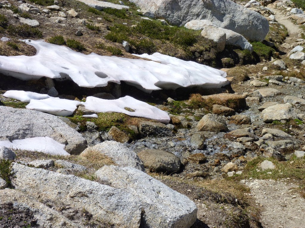
The Vogelsang Lake outlet crossing
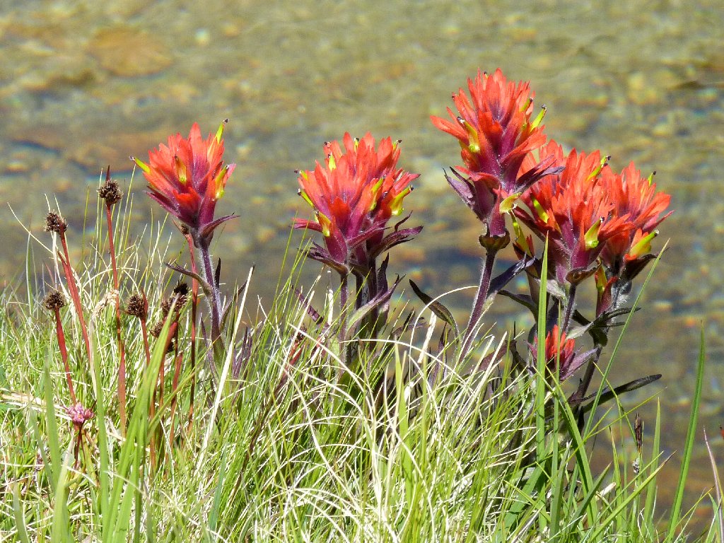
Giant Red Indian Paintbrush at lakeside
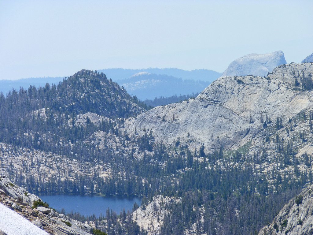
Emeric Lake, and Half Dome hiding behind the cliff
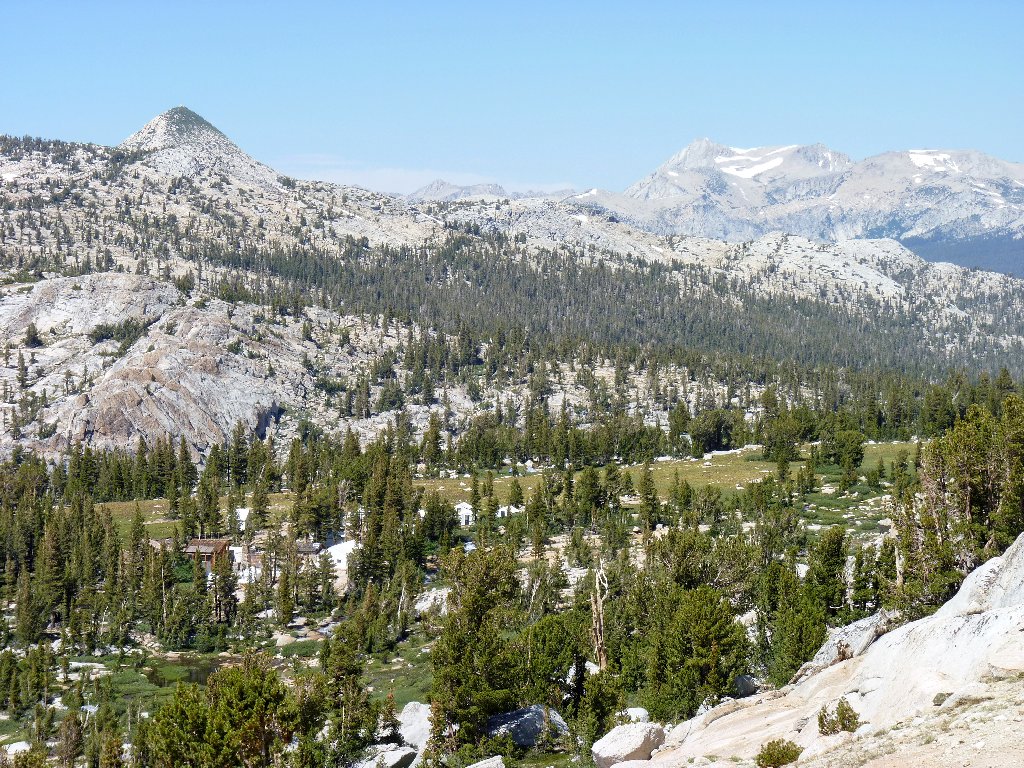
Vogelsang Camp reappears below Rafferty Peak
Fletcher Peak and Fletcher Creek
§: The next best thing to exploring the Vogelsang area firsthand
is to view it all from above. I don't believe that I have experienced
a more scenic outing than this one. Was it worth three days of walking
for what I saw today? You bet. Unfortunately, I cannot award a
top rating to any hike in which certain options were stymied by mosquitoes.
In retrospect I am upset with myself for not having continued up the plateau toward Parsons Peak, even for just half a mile, tired or not. I know that there would have been more to see, including Ireland Lake and more of the Lewis Creek Basin. In this case, there might not be a 'next time' for me.
Judging from some peak-baggers' conversations, most of them focus more on the slightly higher Vogelsang Peak than on the Fletcher Peak area. I believe, however, that the overall scenery would not be as good as that on my own trek, because most of the lakes to the north would not be in view.
| Scenery |  |
| Difficulty |  |
| Personality |  |
| Adventure |  |
| Solitude | |

ABOUT BIRDS & FISHES
Many online references to the name Vogelsang claim that it is a German word meaning bird song. All are in error. In German, bird song is vogellied. Apparently there is (or was) a Jewish (Ashkenazic) ornamental name Vogelsang meaning bird song; but that word is not German.
In the Middle Ages a European man tended to be identified by his birthplace or village of residence. The surname Vogelsang had such a locational origin, and at the time it meant the dweller at the sign of the bird, or one who hunts animals, or possibly one who enjoys bird catching.
The actual place name was assigned in the 1890's by a Colonel Benson of the U.S. Cavalry, who was instrumental in mapping and naming Yosemite's high country. He also was an advocate of stocking the high mountain lakes with trout. Benson named the nearby peak and lake after Charles A. Vogelsang, an executive officer of the California State Board of Fish and Game.
For the record, Colonel Benson similarly honored certain other cronies as
well. Babcock, Emeric, and Fletcher Lakes all were named after high
mucky-mucks in the Fish and Game Commission.
Also for the record, Ranger Dave says that the Park Service now has acknowledged that the stocking of lakes, being an unnatural act, is contrary to national park principles. Efforts are underway to forcibly reduce the number of trout in the Merced River drainage. These species never existed there naturally, because there is no way that they could have made their way up the high waterfalls in Yosemite Valley. The predatory trout are having a deleterious effect upon certain other wildlife, most notably the local frog populations.
