
Yosemite National Park
|
Mount Hoffman Yosemite National Park |
August 12, 2011
I have brought friend Dave here today to help him "practice up" for our upcoming excursion to Half Dome. Dave doesn't get out on the trail as frequently as I, so this will be a good test for him.
We briefly start out on the wrong trail, there being two options here. Finally finding the one that points to May Lake, we set out.
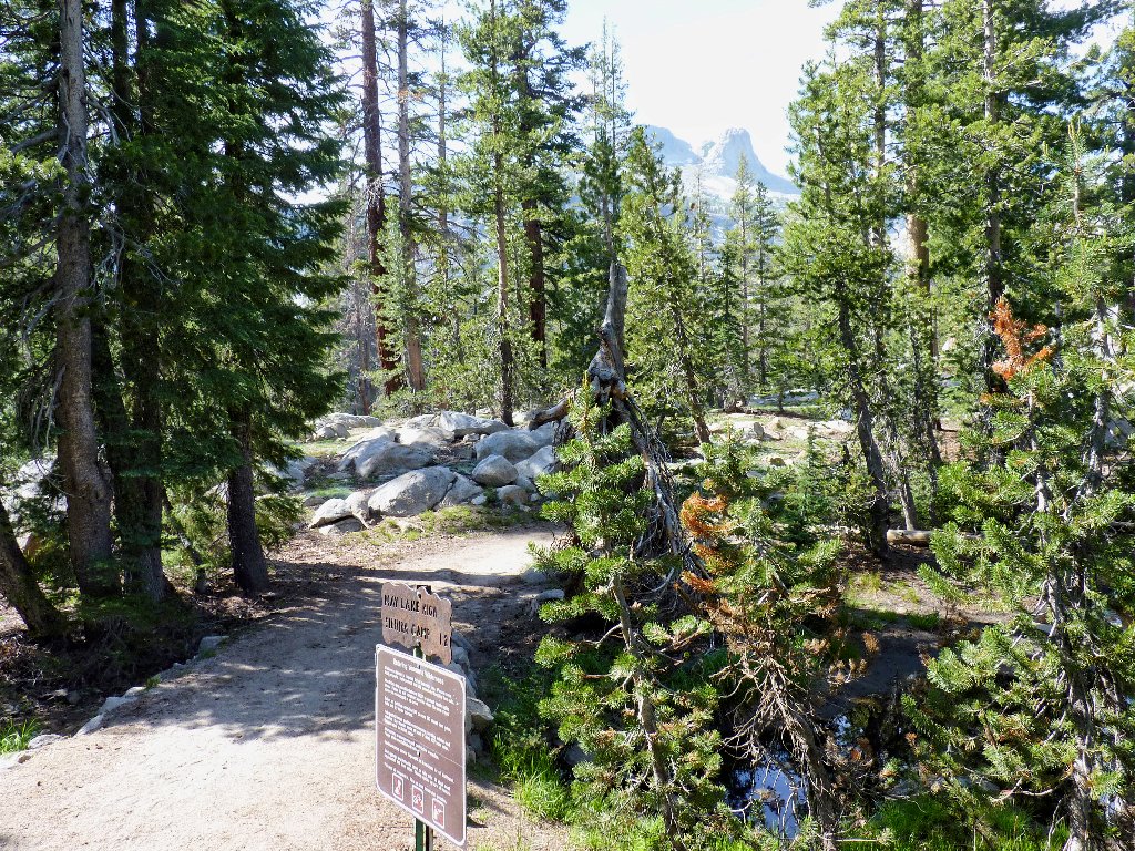
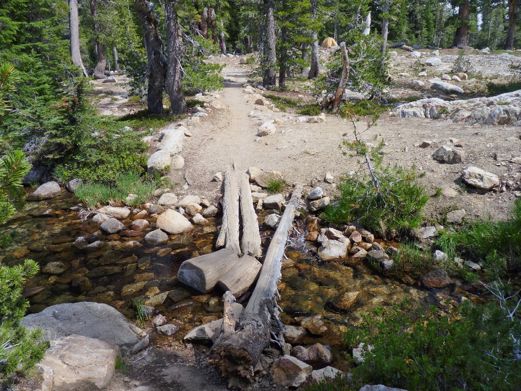
May Lake Trailhead
Immediately I notice a fallen log that has been propped up at one end by three rocks. The question is, why?
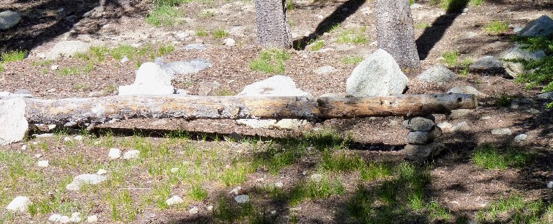
This log gets special treatment
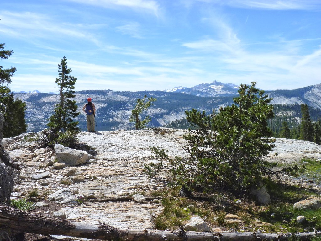
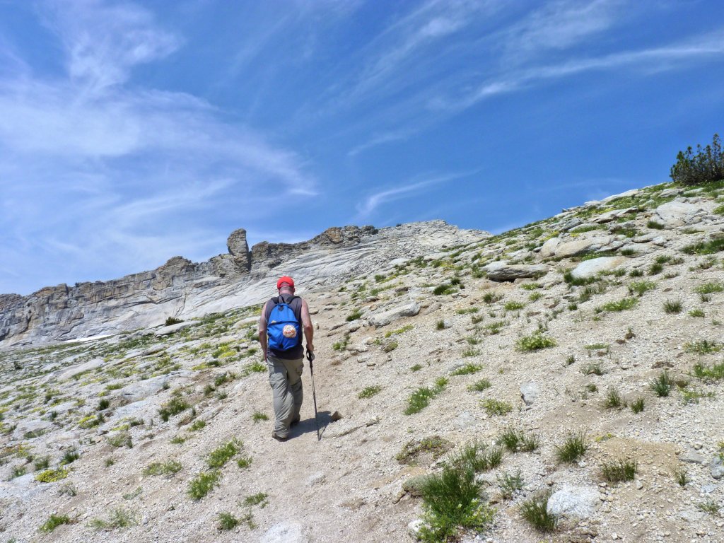
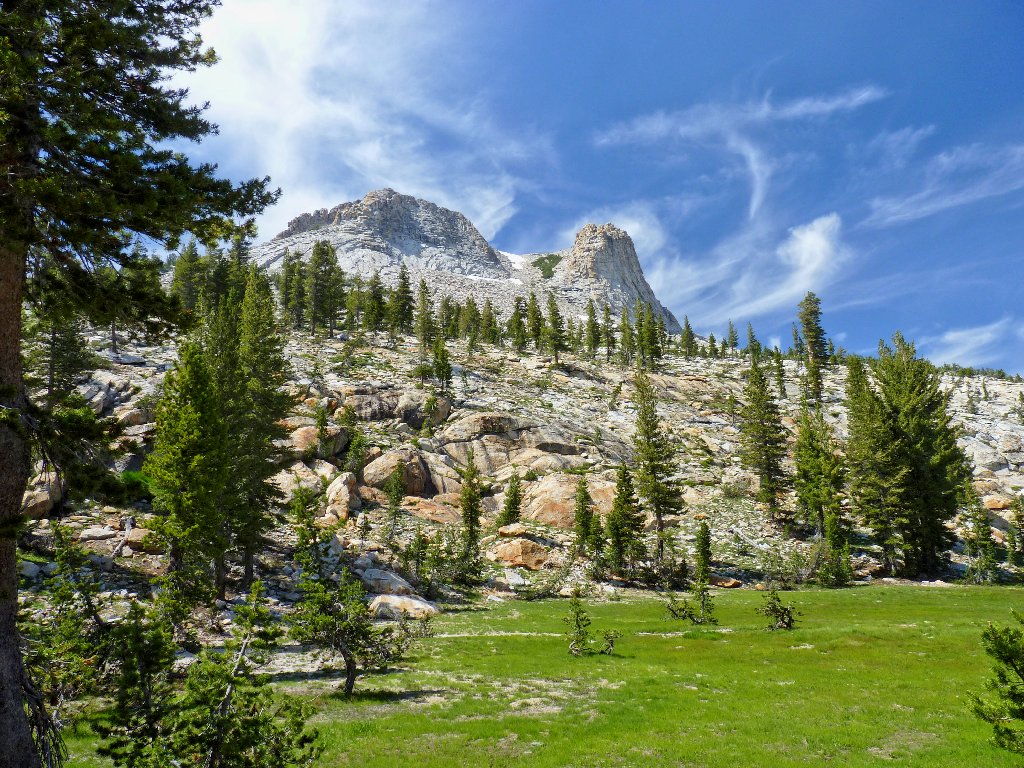
It is just over a mile and a 500-foot gain to May Lake and its High Sierra Camp. Dave gazes at the mountain above us. I haven't the heart to tell him yet that what he sees is not the true summit, and that the climb will take us even higher.
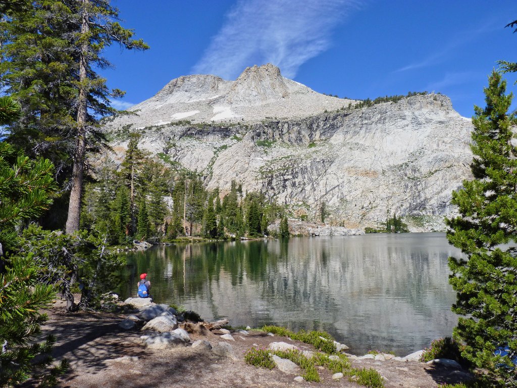
Contemplating the challenge ahead
Although no sign is posted for guidance, we veer left among some campsites
and pick up the trail at the lake's southwest corner. Soon we begin
climbing in earnest, past a big snowdrift, on a less-than-friendly path.
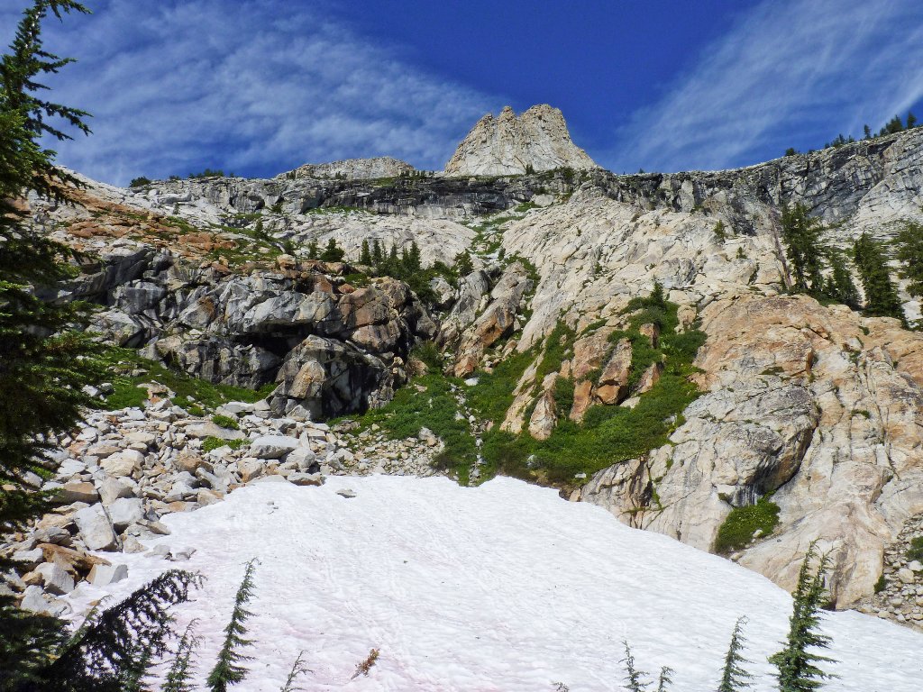
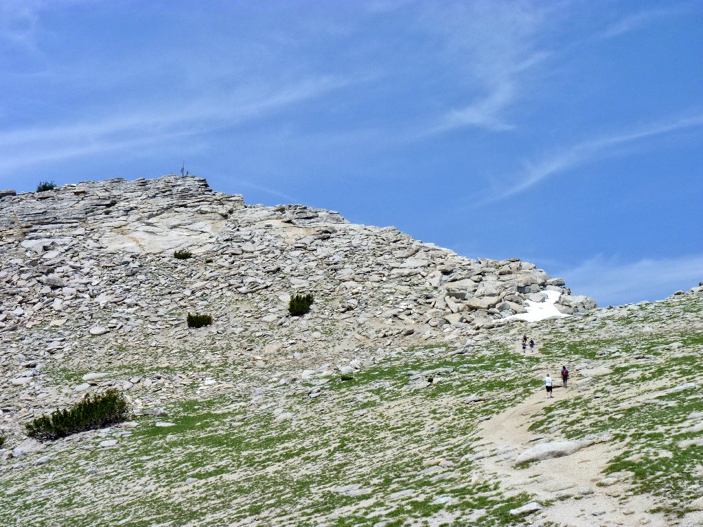
The false summit
Mount Starr King, 9091', is ten miles distant
The route upward
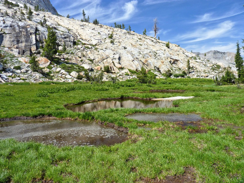
It still is quite wet here
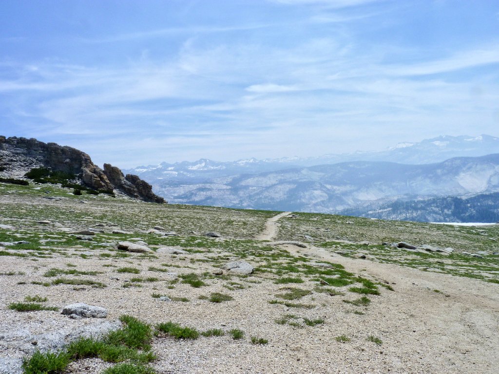
Beyond the meadow is an overlook of Half Dome to the south. Just a few hikers are visible on the cable route, indicating that the new quota system is doing its job. Only 450 humans per day are allowed on the mountain now, and that's a good thing; the crowding was getting way out of hand.
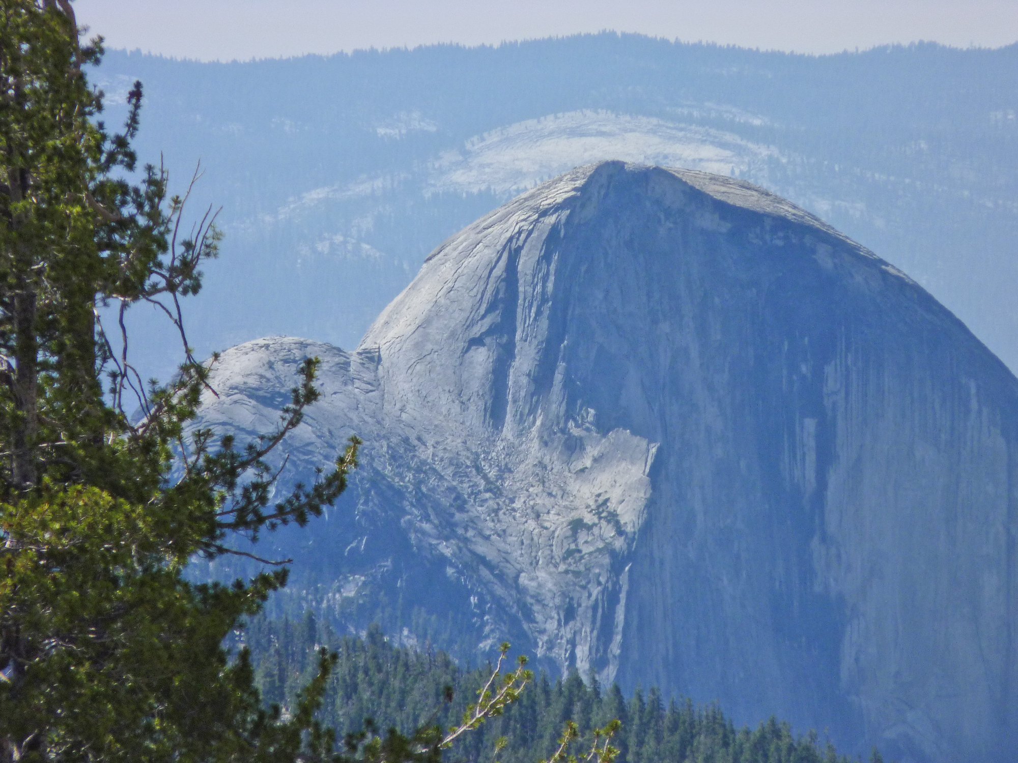
The cable climbers are barely visible from seven miles away ⇔
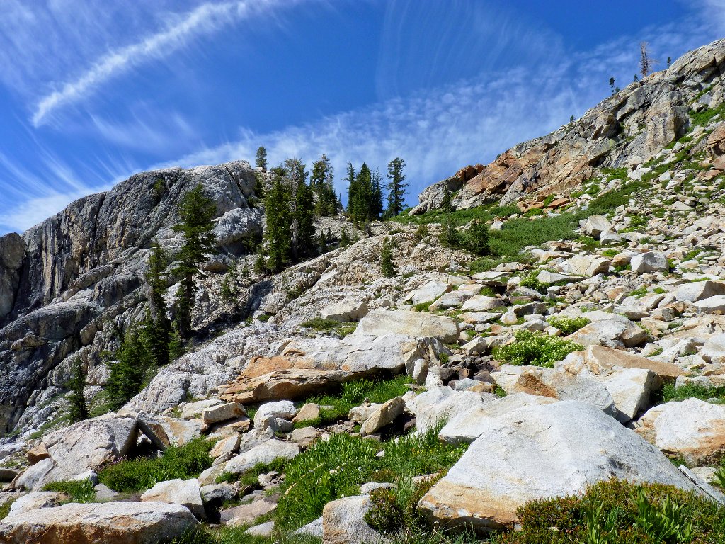
Although this still doesn't seem to be an 'official' trail, in 2008 the Park Service effected some repairs and consolidated the many use trails into a single route. No effort was made, however, to upgrade it to normal standards; for we are compelled to climb a long series of tiny zigzags that lead straight up the mountain for 900 feet. The trail is quite rough, and every step must be taken with care. Since Dave and I both have relatively weak ankles, we must keep our eyes on the path at all times.
Switchbacking up the talus
Begging will get you nowhere
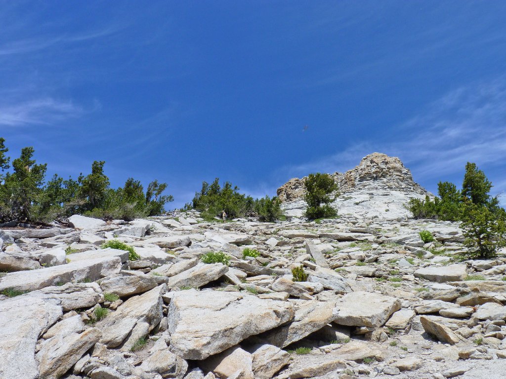
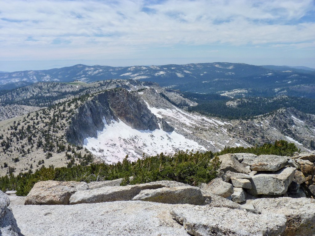
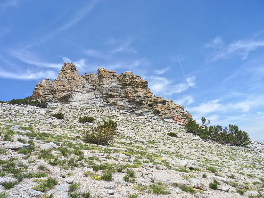
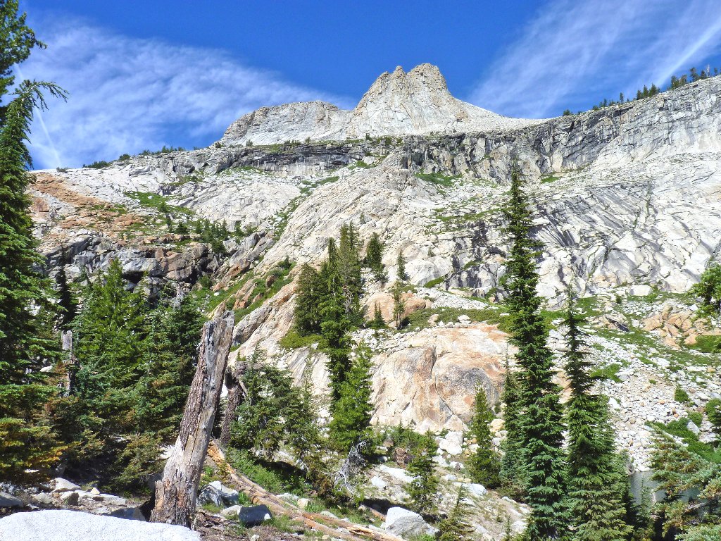
After more than a few rest stops, the trail levels out considerably and becomes actually pleasant to traverse. Our destination is dead ahead, to the right of a strangely shaped doodad sticking up above the rest. I remember seeing that rock from the highway on the other side of the mountain.
The true summit comes into focus. This is exciting!
The trail ahead
The trail behind
The view down toward Yosemite Valley is mildly depressing. The so-called Avalanche Fire, started by lightning twelve days ago, is still going strong. Located just south of the Glacier Point Road, it is being managed by the Park Service as a rare opportunity to clear out duff and underbrush in that area. The fire is scheduled to burn up to eight times the acreage that it already has consumed, which I presume could take a lot more time. This is not good news for anyone going to Vogelsang High Sierra Camp next week.
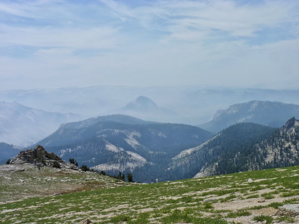
I would hate to be sightseeing up at Glacier Point right now
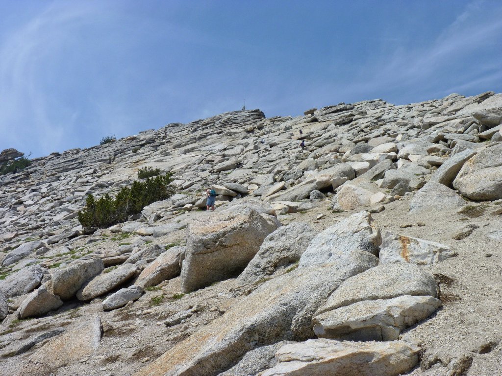
The last 200-300 feet of ascent is a boulder hop. Our choice of routes
involves some hands-on climbing as well, which probably could have been
avoided. Dave wants to ditch his walking stick, then decides against it;
for we might not return this way.
The final ascent
Looking eastward
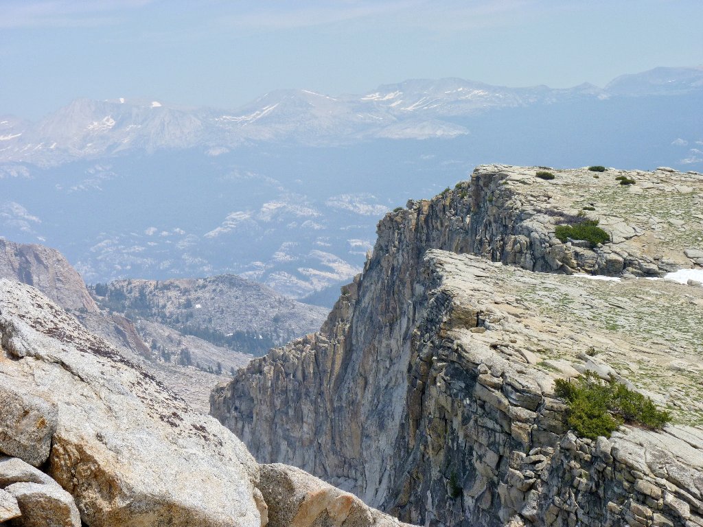
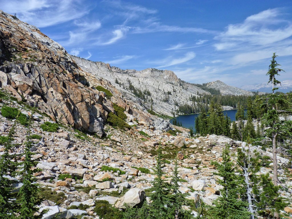
At one point in the climb, an unexpected high dropoff provides some momentary excitement, as well as a nice view of several barren lakes below.

Let's stay away from this edge

Mount Hoffman summit, 10856'
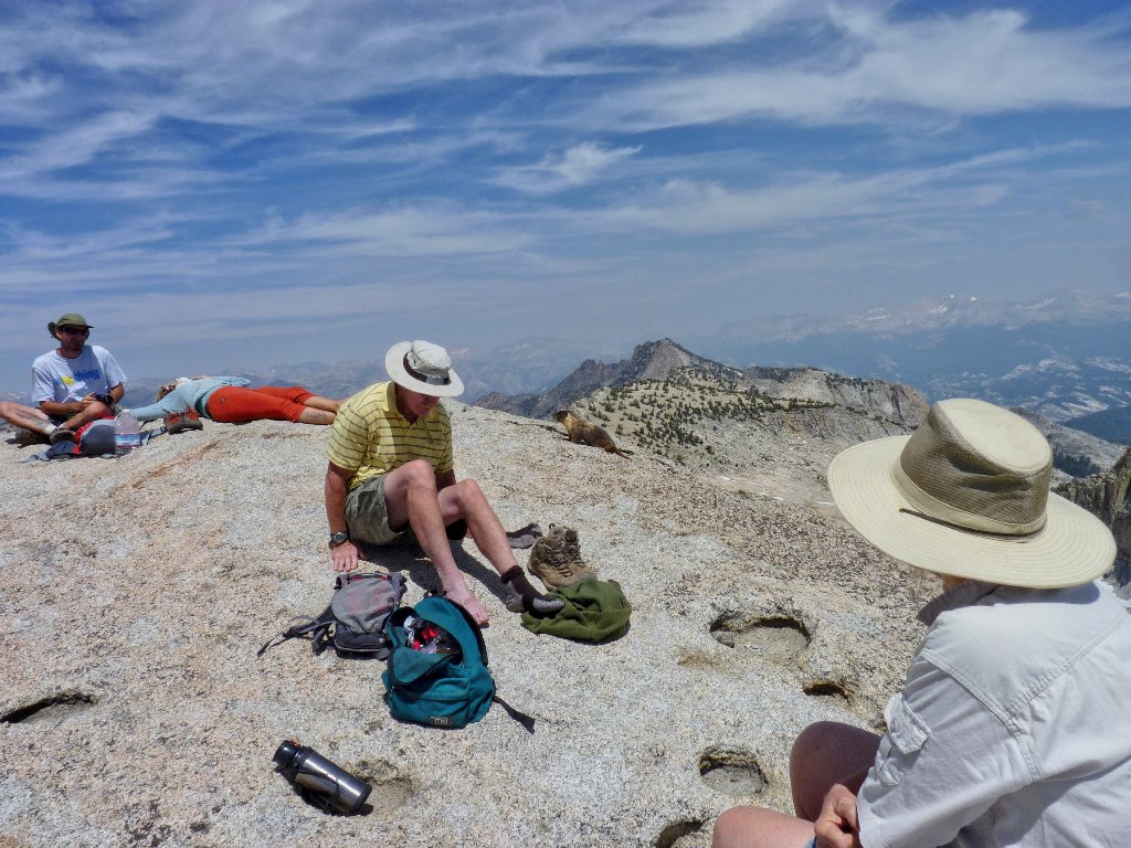
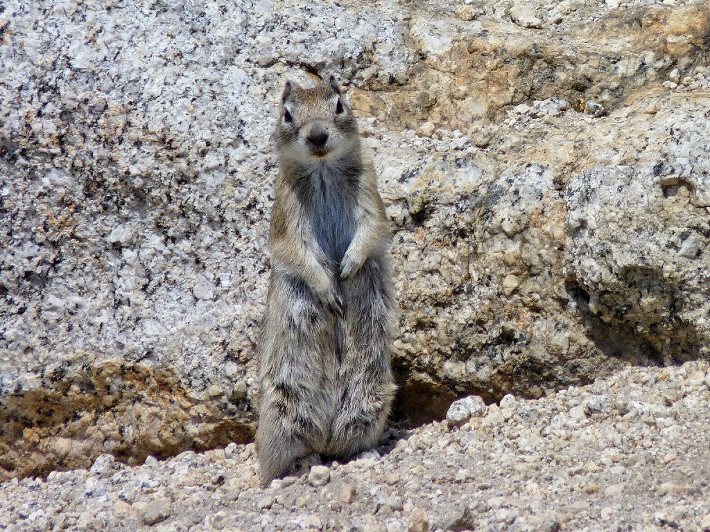
The visiting animals take a break
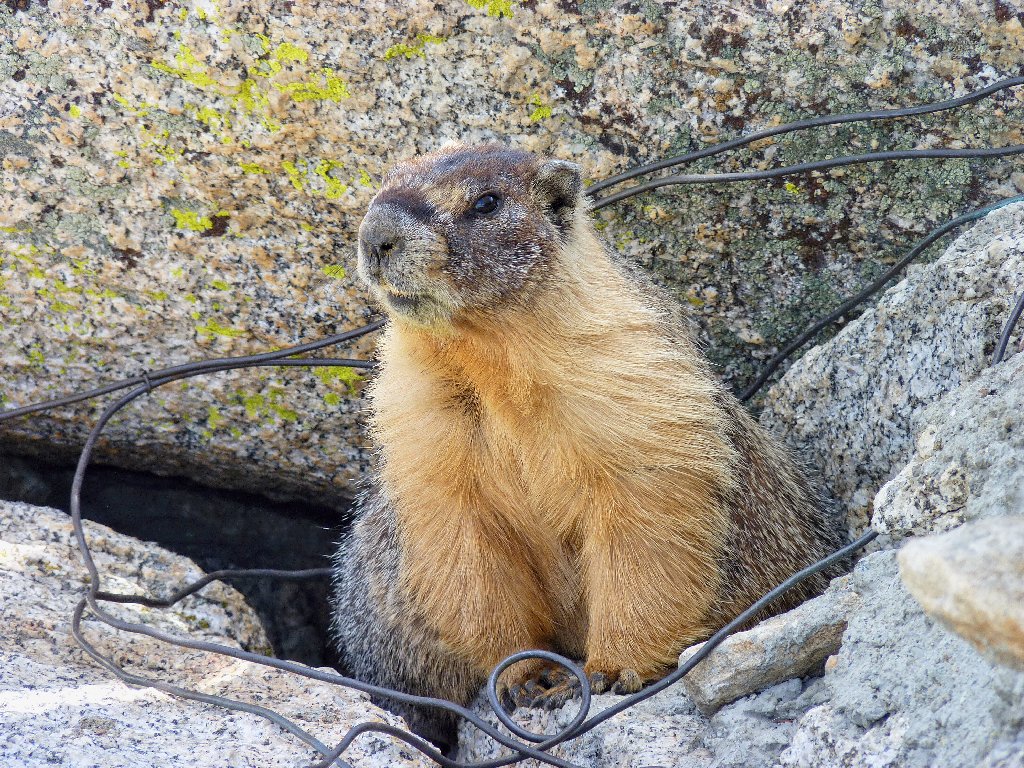
The resident animals watch for something to steal
The summit is solid granite, and there is plenty of room for everyone. Several yellow-bellied marmots scurry about, hoping that someone will toss them a morsel or leave a pack unattended. I will do neither.
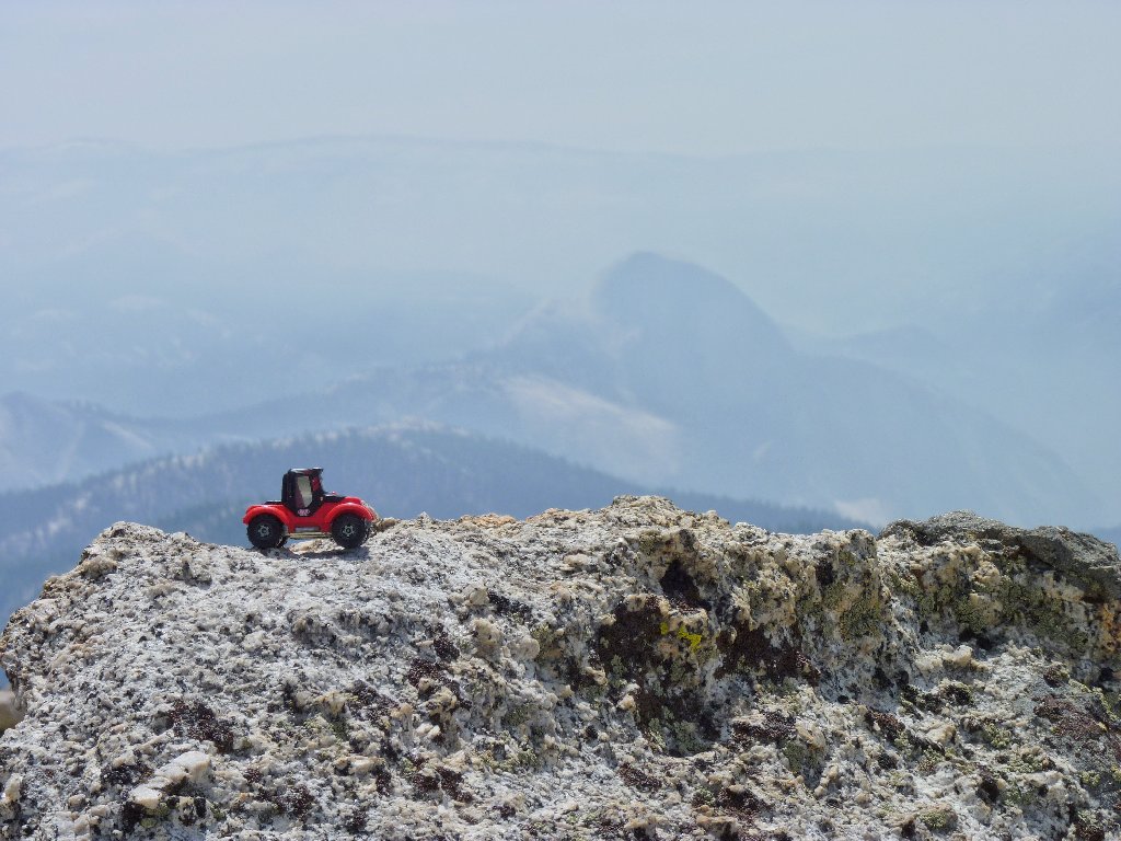
We drove up here for this? I want a refund!
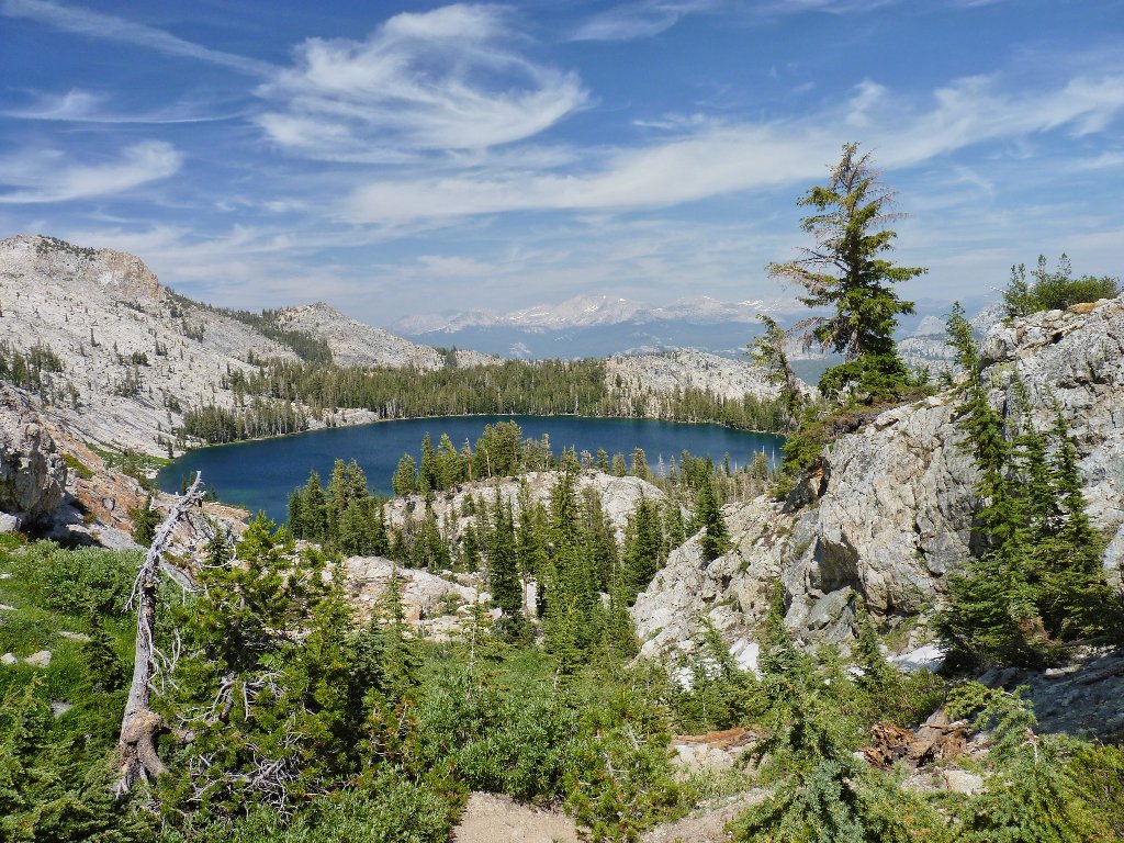
Five or six lakes lie just north of the peak; yet none are identified on the map, and no official trail accesses them either. Perhaps they are more interesting from here than from down below.
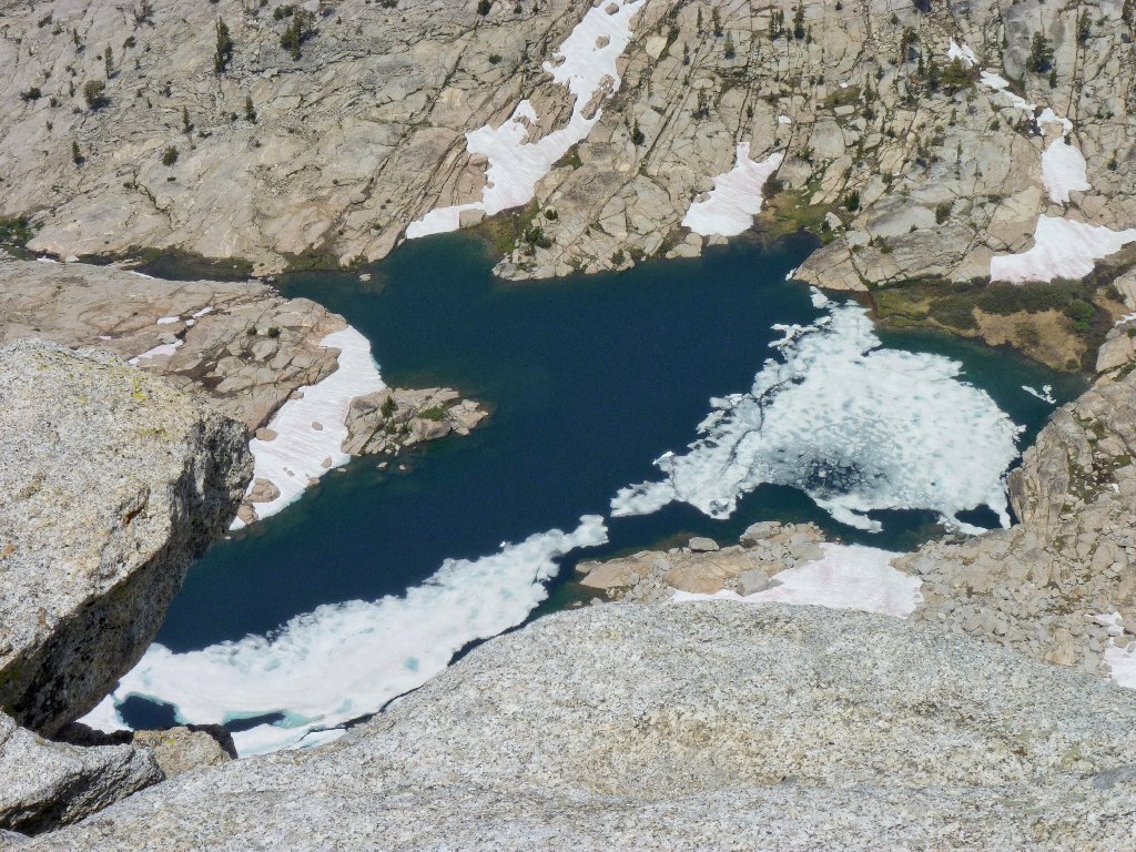
No-name lake
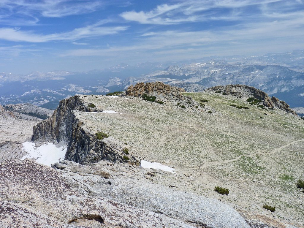
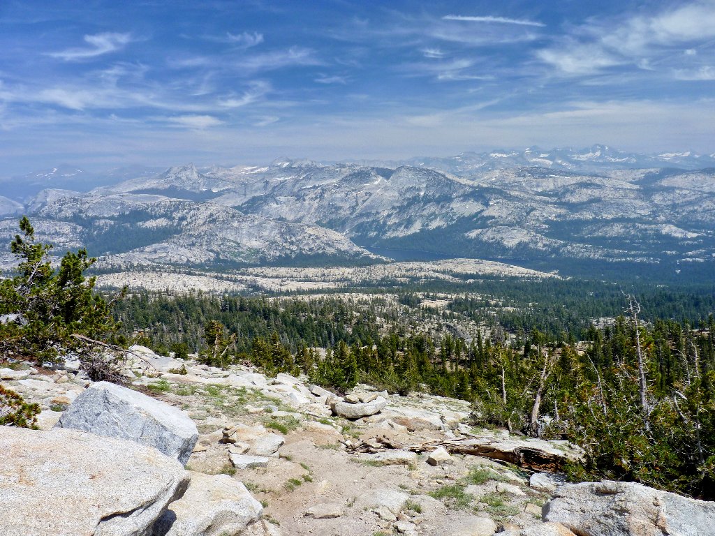
Mount Hoffman is at the geographical center of Yosemite Park.
It offers a 360-degree panorama, and virtually everything that can
be viewed is park land. Yosemite has so much to offer that most folk
will never see; excepting the access to Hetch Hetchy Reservoir, there is no
road in the northern half of the park. There are numerous trails, though,
awaiting adventurous souls wishing to partake of the North Boundary Experience.
Westward view
Looking northeast
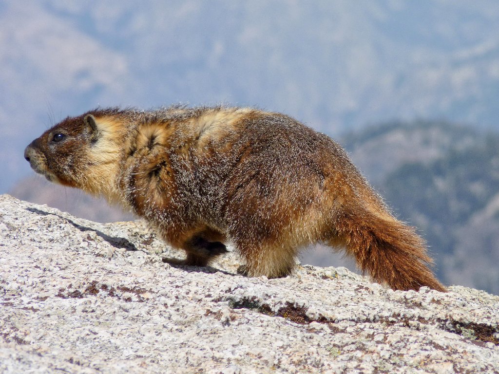
These guys don't appear to be hurting for a meal
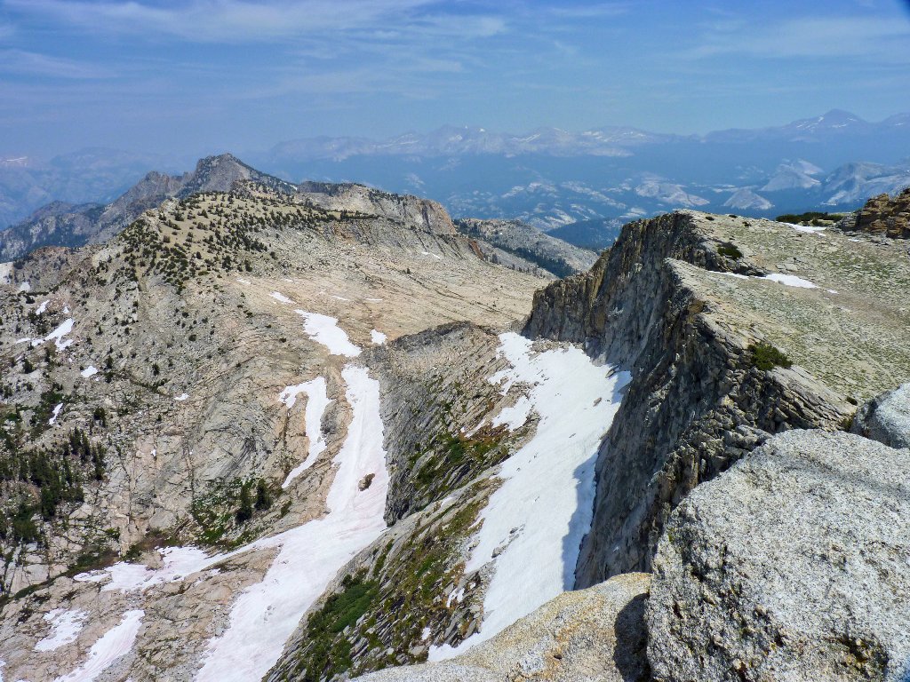
Getting off the summit block proves easier than coming up. By staying somewhat south of the high point, actual climbing can be avoided.
The area of the false summits is worth exploring, but I don't
believe we'll do it today
The 900-foot downhill slalom is hard on both the feet and the knees, but it doesn't take long to get back to the meadow.
Tenaya Lake is three miles distant
One of the false summits
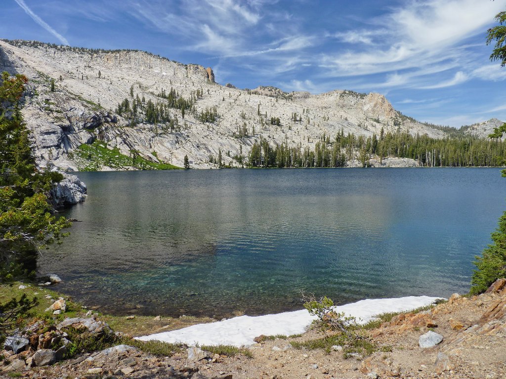
The appearance of May Lake is a welcome sight indeed, because it means that the hard work is done.
May Lake
Dave and I refill our bottles with cold water at the camp, then finish the trek.
§: The summit panorama ranks among the best in the park.
It is worth the 2000-foot climb and mostly crummy trail in order to achieve
that viewpoint. Arrange to do it when there is no forest fire in the region.
| Scenery |  |
| Difficulty | |
| Personality |  |
| Air Quality |  |
| Solitude |  |
