
Tahoe NF
|
Penner Lake Tahoe NF |
July 18, 2011
Ali have ventured up here even though the access road has been open for just a week; there might be a lot of snow to deal with on today's trail.
As soon as we start out, Ali queries a returning hiker. Surely enough, he tells us that the entire wilderness is covered by snow, and that the trails are virtually obliterated. That is bad news indeed, but we forge ahead anyway to see for ourselves.
Carr Lake
The standard stream crossing is unpassable, but we find a way across up near the Feely Lake Dam. (Yes, FEELY is the original, and therefore correct, spelling.)
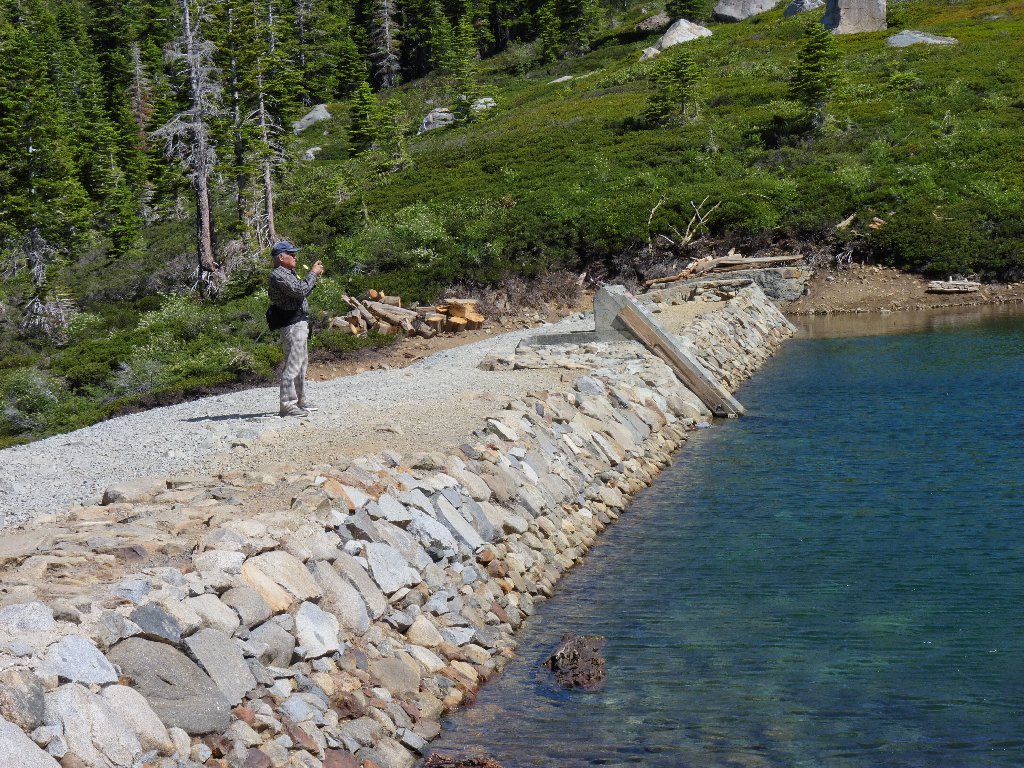
Ali at the dam
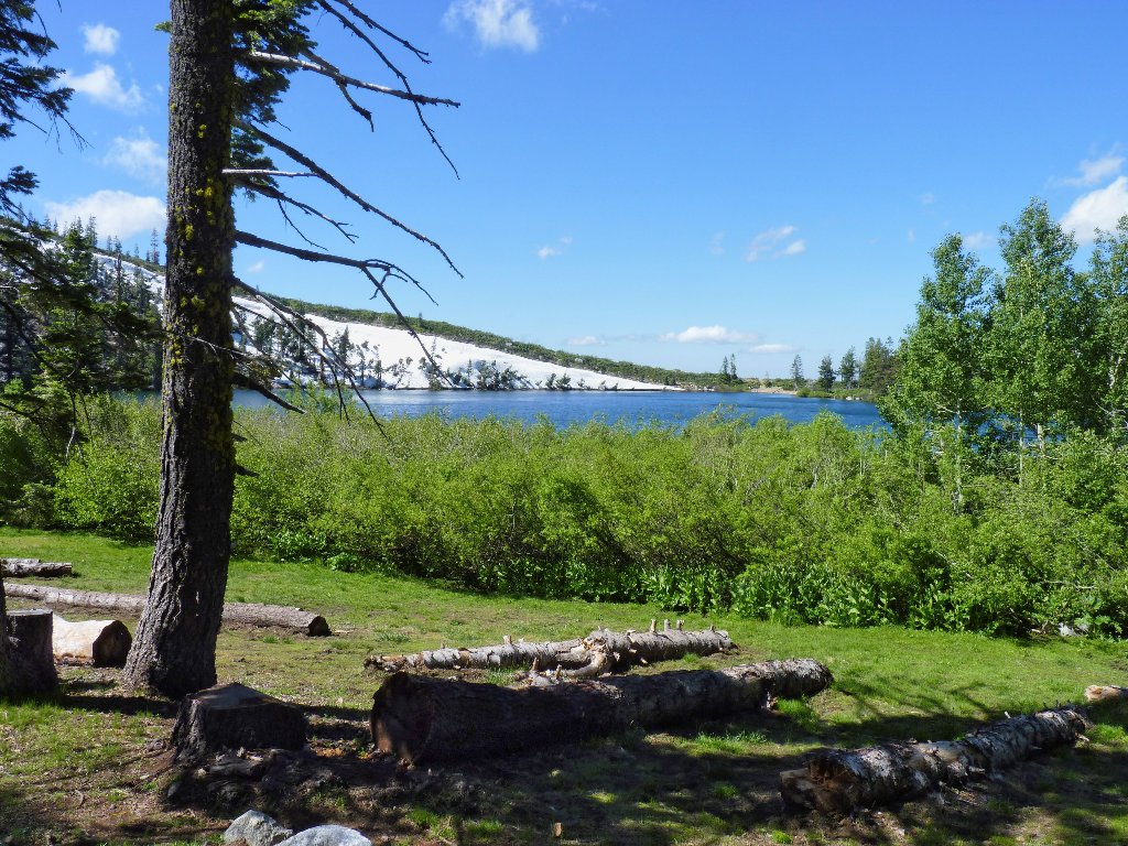
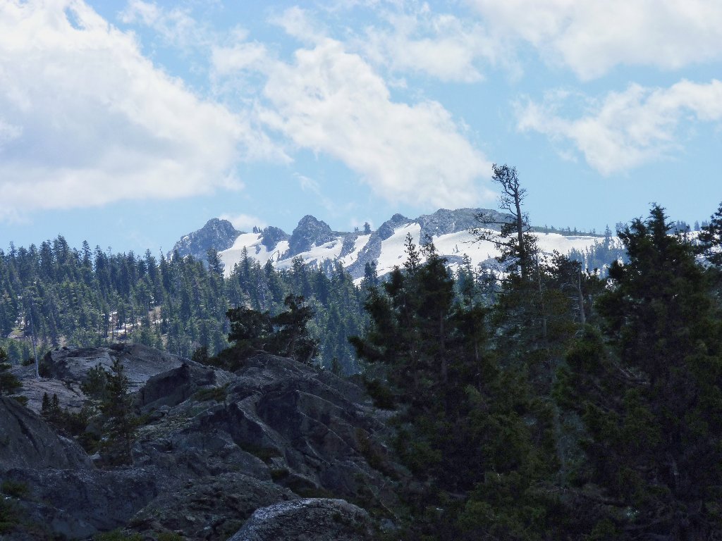
Feely Lake and Fall Creek Mountain
Near the end of the lake the trail does appear to become largely
snowbound. Knowing that our route takes a 90-degree left
up ahead, we opt for a shortcut around the north side of Round Lake.
This proves to be pretty easy.
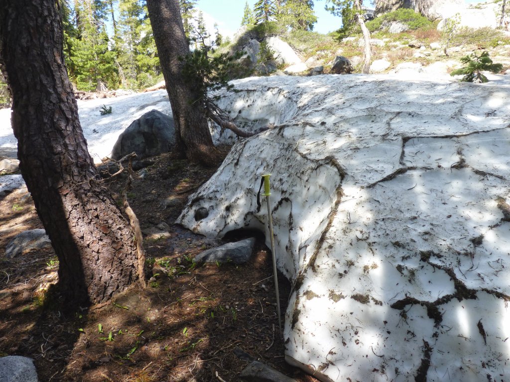
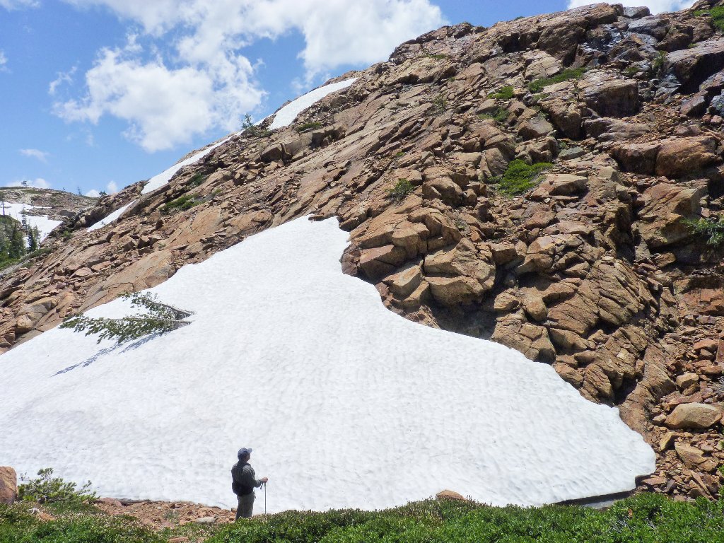
A 5-foot snow bank
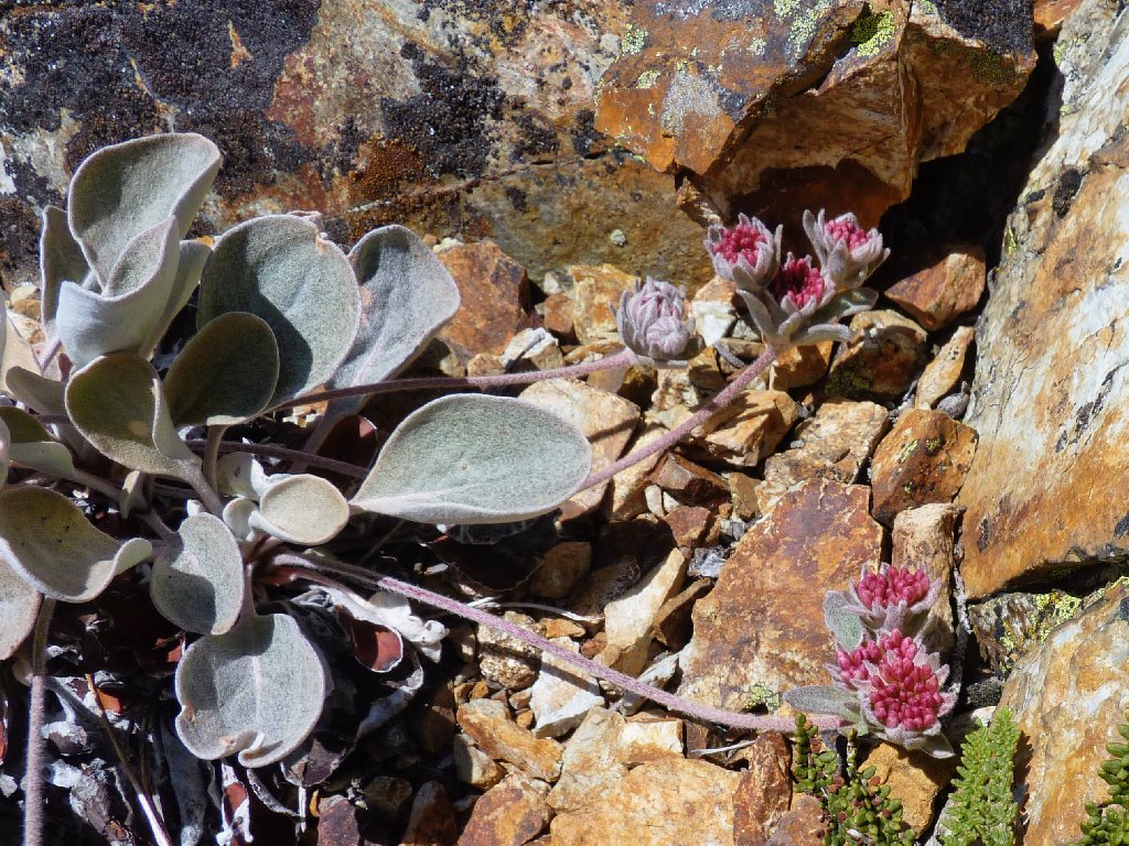
A few flowers are around, but spring has yet to arrive.
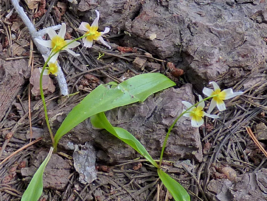
Plainleaf Fawn Lily
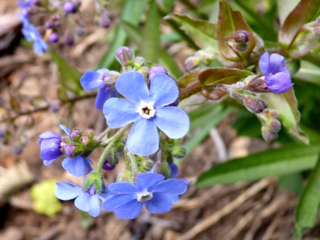
Velvet Stickseed
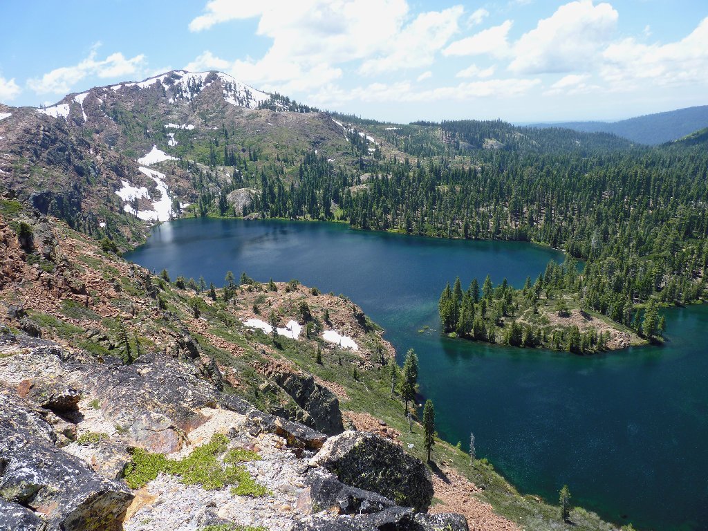
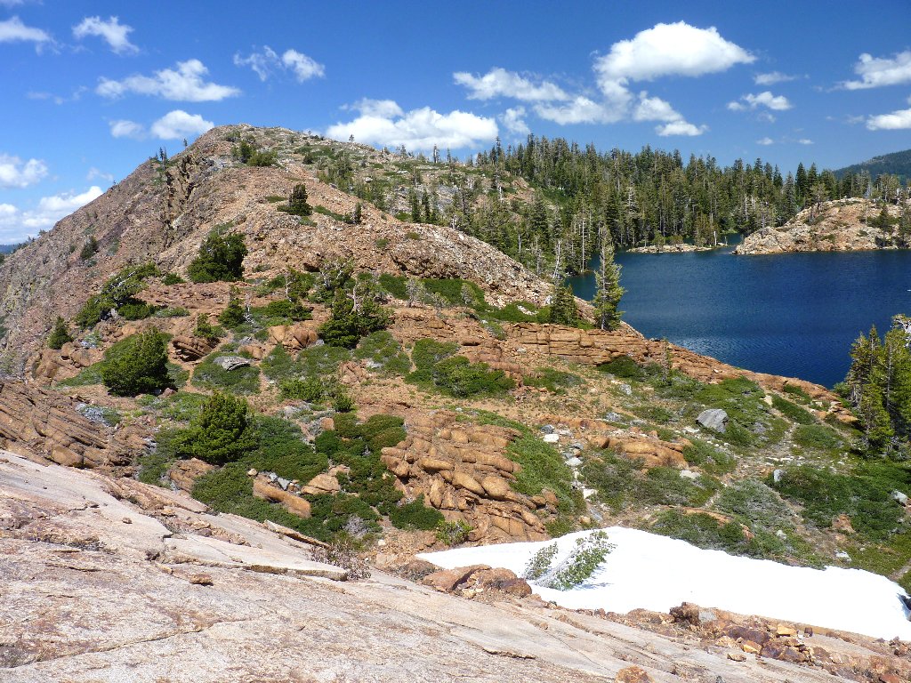
Our detour ends at Island Lake, the area's biggest.
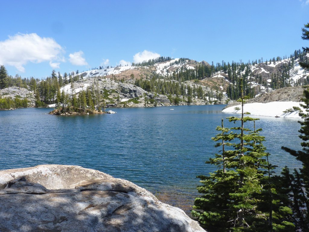
Island Lake and its island
Alongside the lake I inadvertently step on a snake, which must have looked like just another stick on the trail. Ali says that I got its tail, then prods it with his walking stick until a little head appears, apparently undamaged. Good. I don't want to hurt anybody.
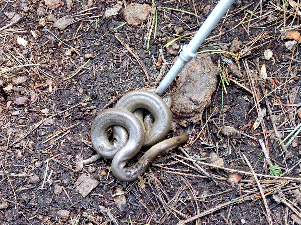
Species unknown — there are numerous look-alikes
Black Buttes
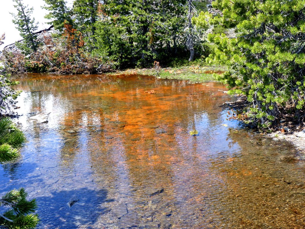
Iron oxide in the creek
Once out of the thick forest, no more snow blocks the trail. We negotiate the switchbacks unencumbered to the nicest lake in the area.
Penner Lake
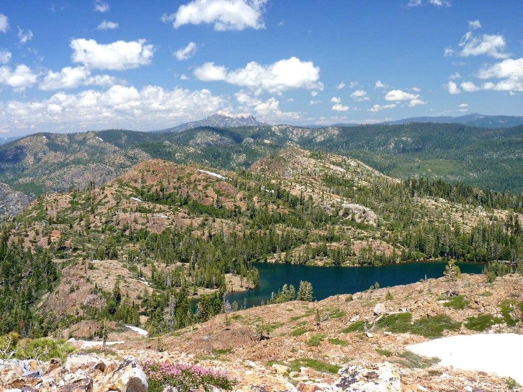
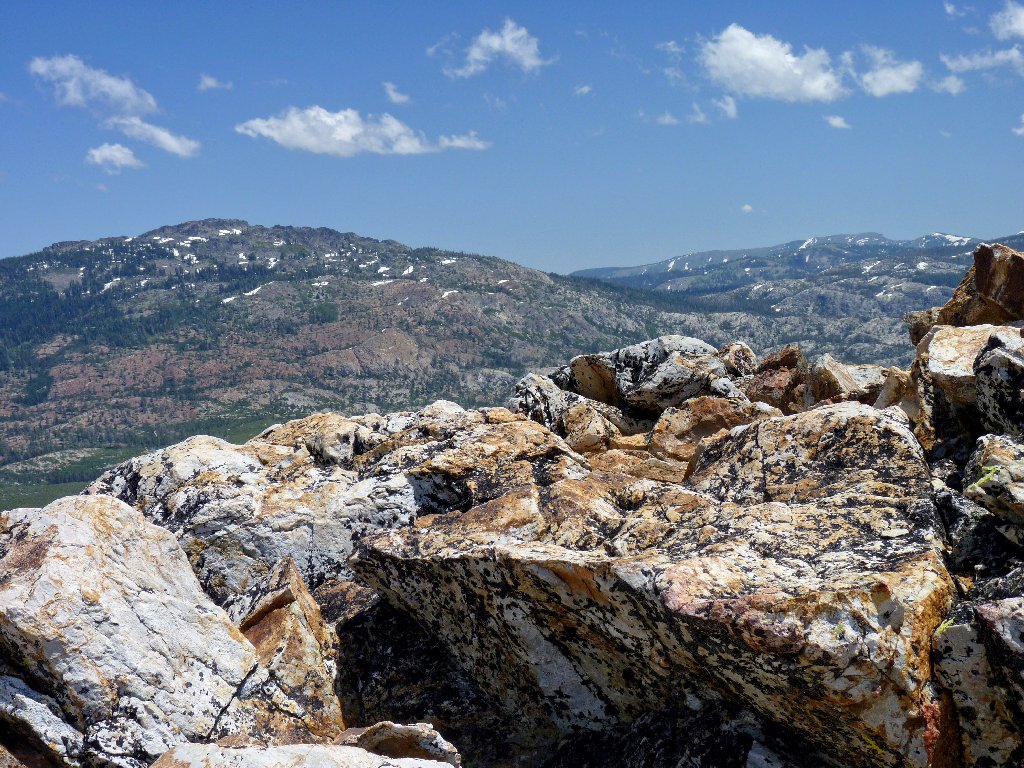
Peak 7264 in the distance
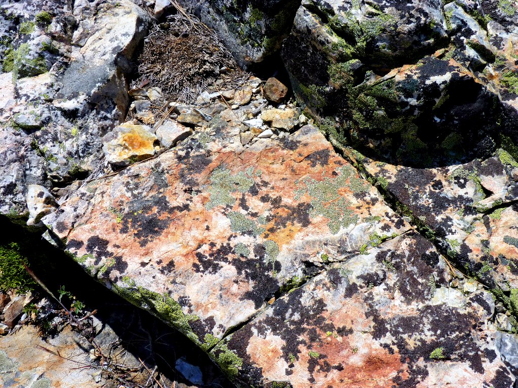
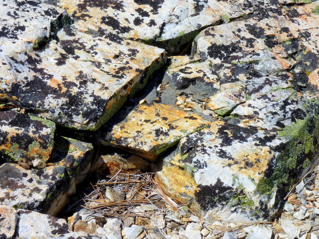
Wonderfully colored rocks
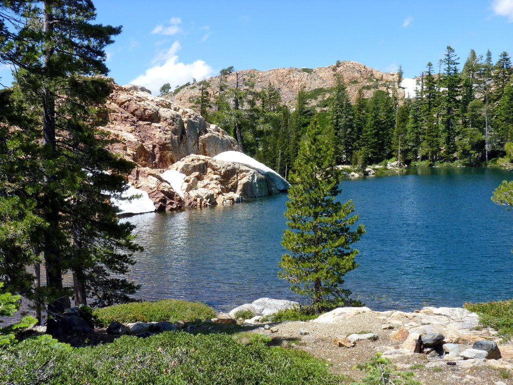
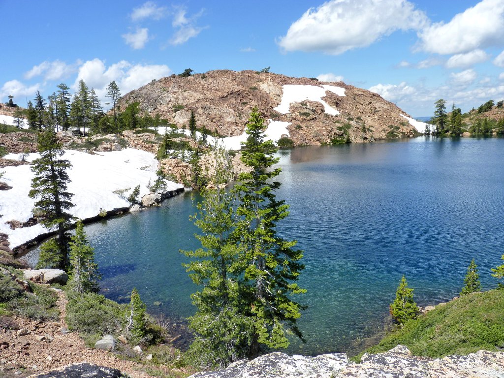
Penner Lake provides the prettiest setting in the basin
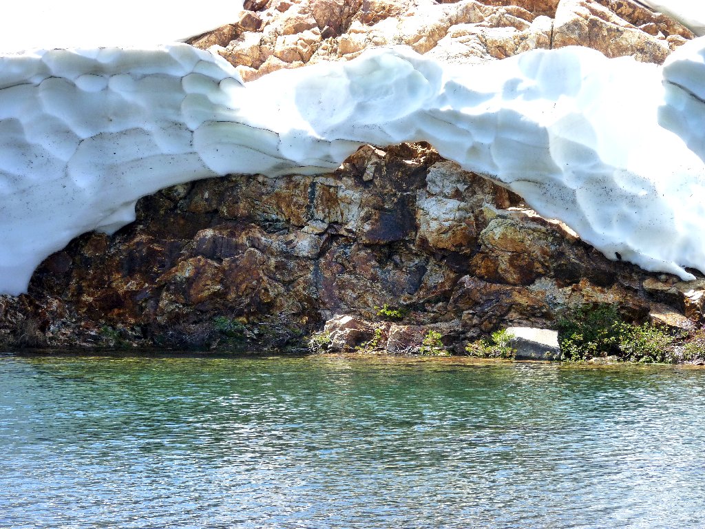
An interesting snow bridge
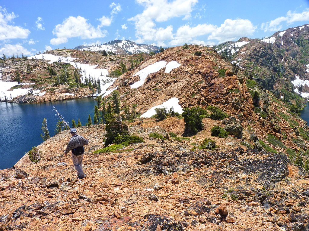
Our exploration cannot end here, however; for I know another place that must be visited. Following the trail northward, we veer off and up the slope at a convenient spot.
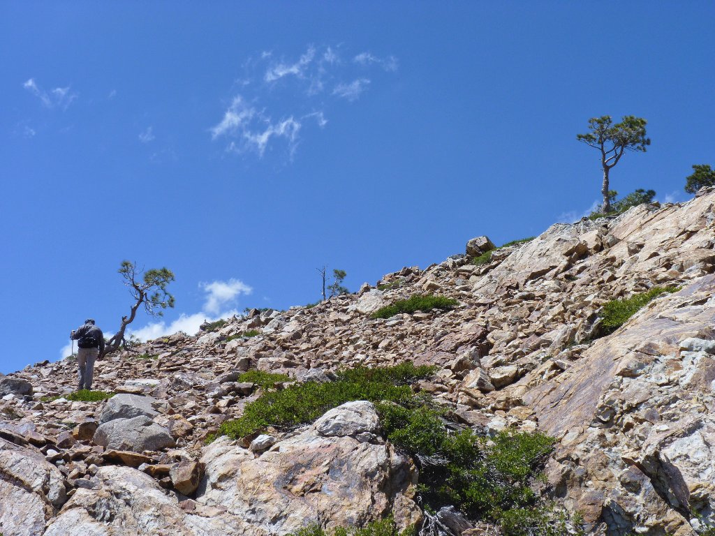
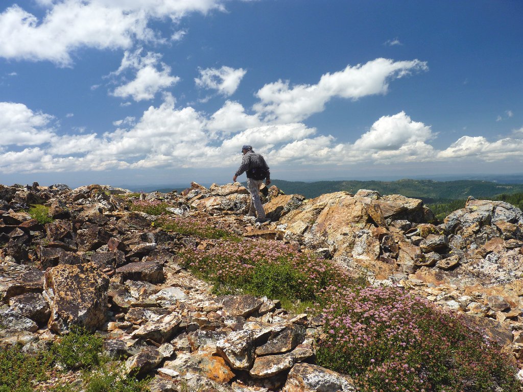
Conquering Peak 7264
One must ascend this little high-point to understand why the climb was important.
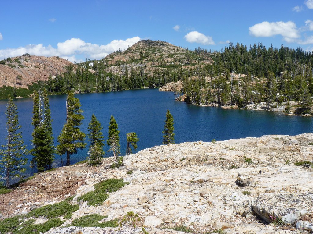
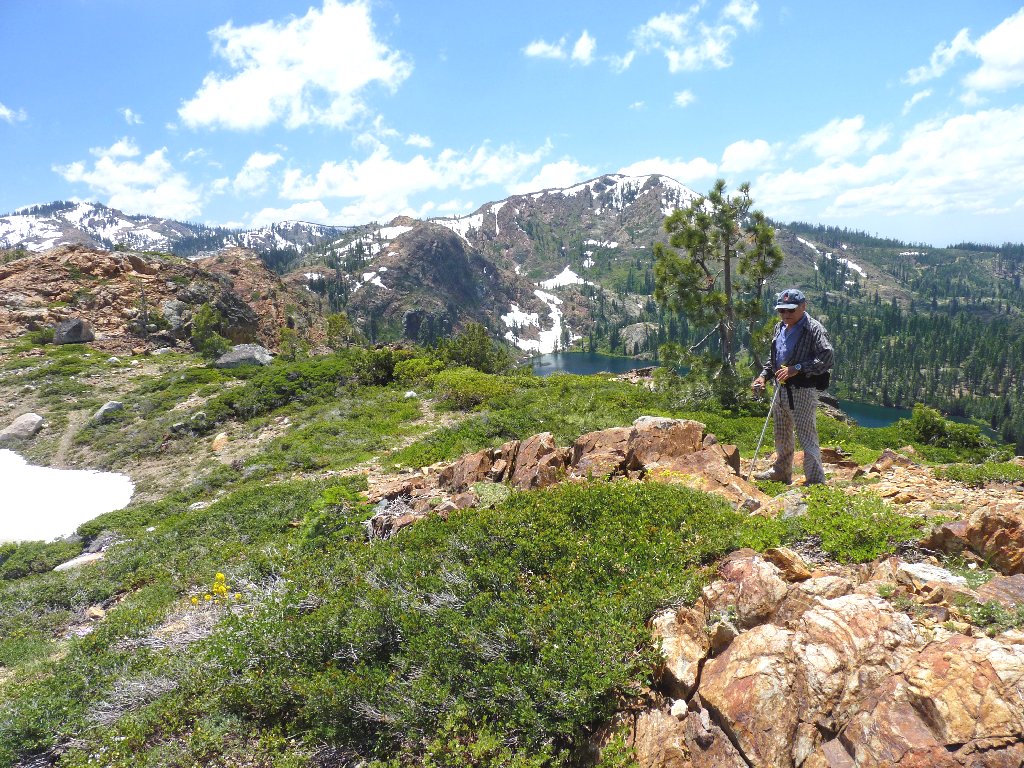
Upper Rock Lake and Sierra Buttes to the north
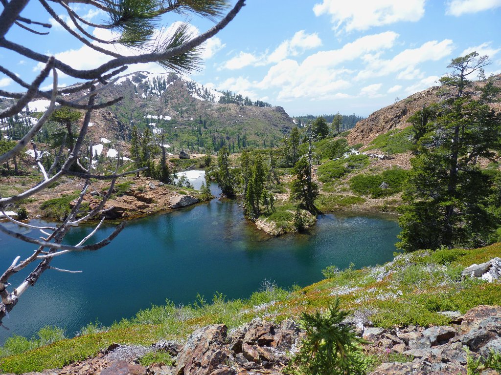
The view south from here is one of the most interesting scenes in the Sierra, because those two lakes reside in largely different worlds. Penner Lake drains into the Nevada desert, while the waters of Culbertson head for the Pacific ocean.
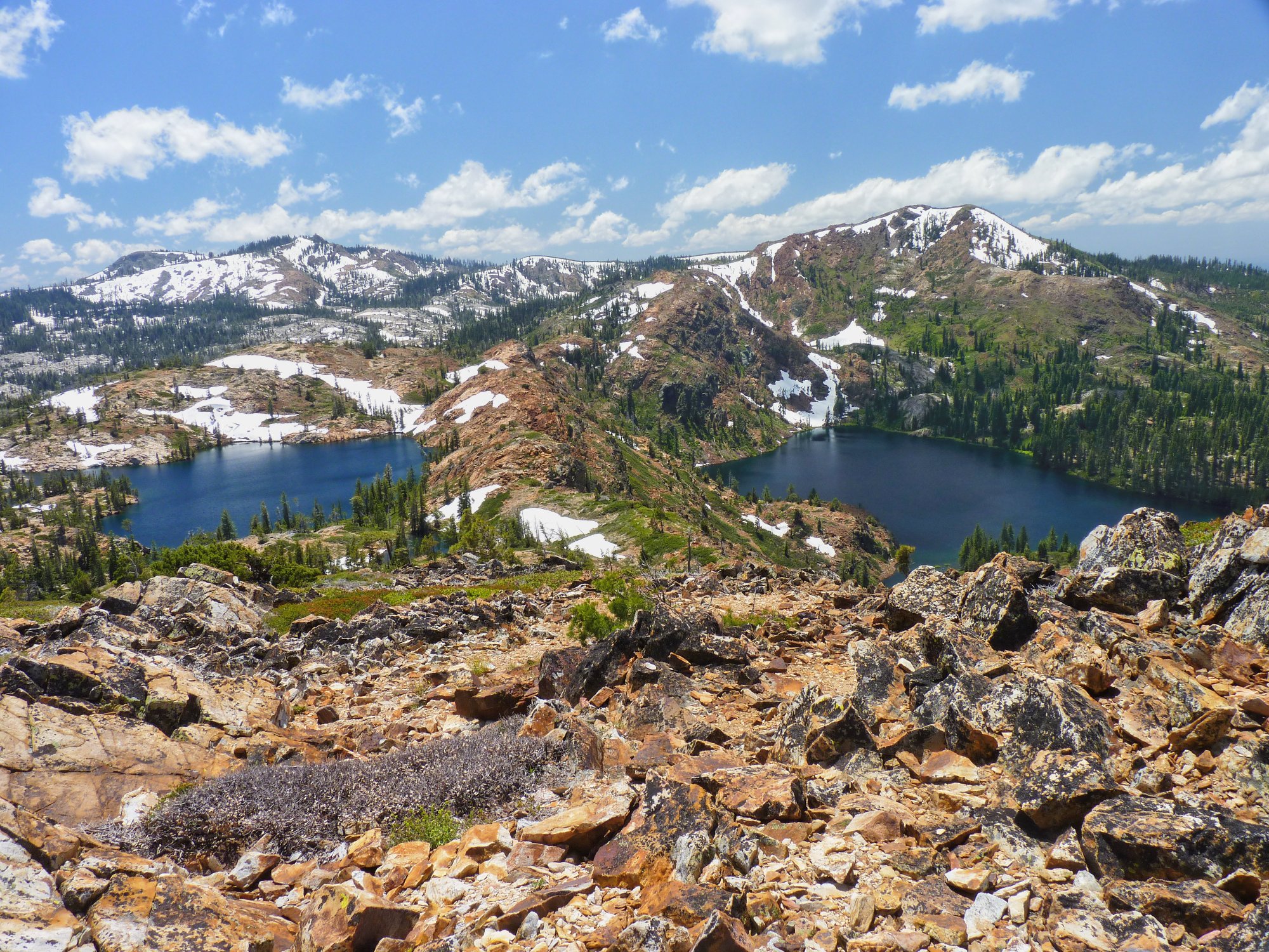
Penner and Culbertson Lakes straddle the Great Divide ⇔
Haystack Mountain to the east
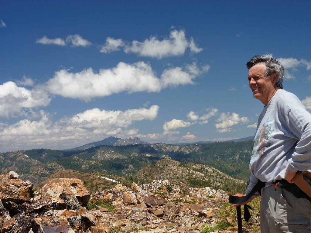
Yours Truly
Ali wants to return by crossing "the dam", as he calls it.
If there is an option that might increase the difficulty of a hike, Ali usually
is all for it. Trying that route has been on my to-do list anyway,
though, so what the hell. Together, we plunge straight down the
400-foot scree slope.
Approaching The Dam
Looking back at Peak 7264
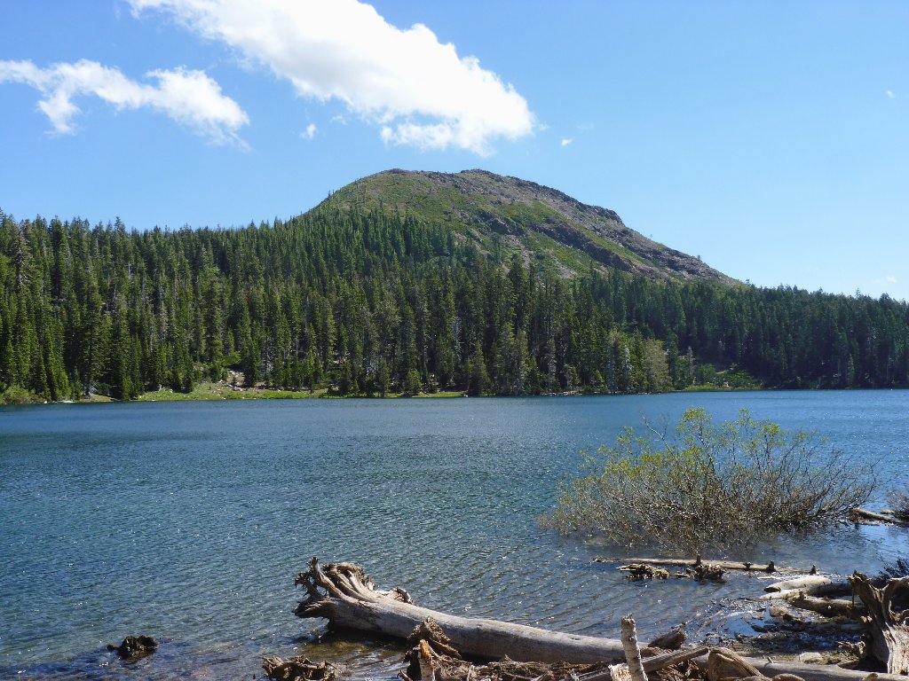
Culbertson Lake and Fall Creek Mountain
Lobb's Wild Buckwheat
Traversing the dam
There is an interesting cleft in the middle of the dam. I had been wondering from prior photographs as to how difficult it might be to continue up the opposite slope. We are about to find out.
Ali contemplates his strategy
Ali opts for the rocks on the right, while I trudge straight up the snow bank. We reach the top at about the same time.
The Dam is all but conquered
As we head back toward the trail, another nice pond comes into view — one that never is seen by less adventurous souls.
A pretty hidden pond
From here, getting back down the trail seems like just a formality.
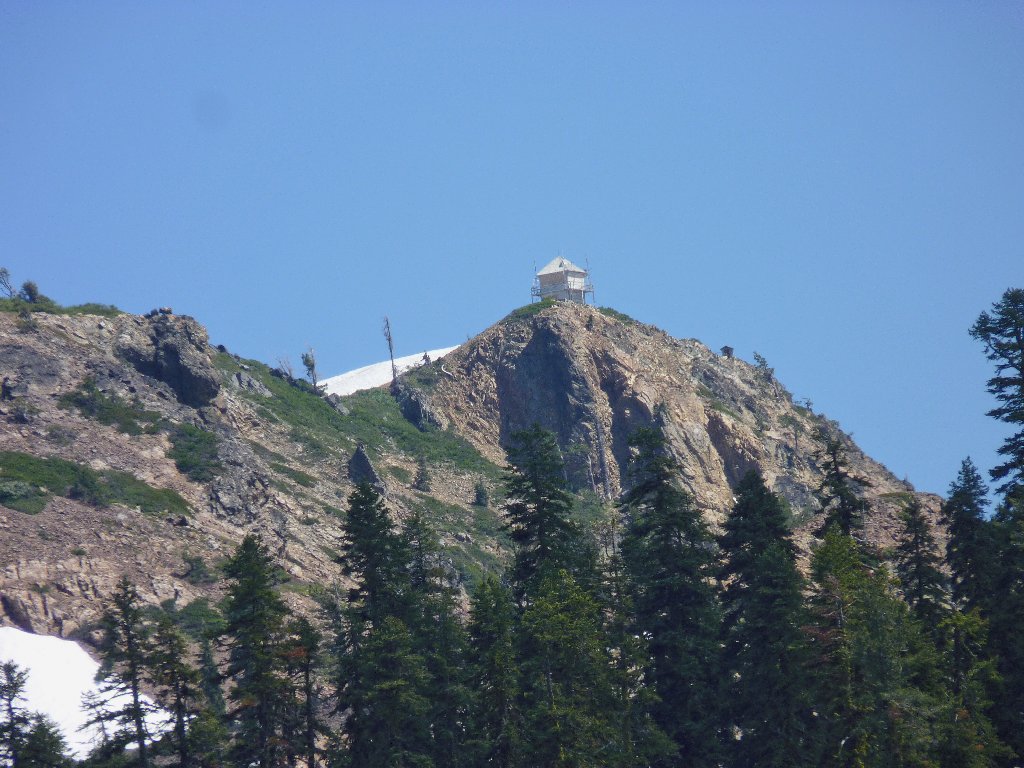
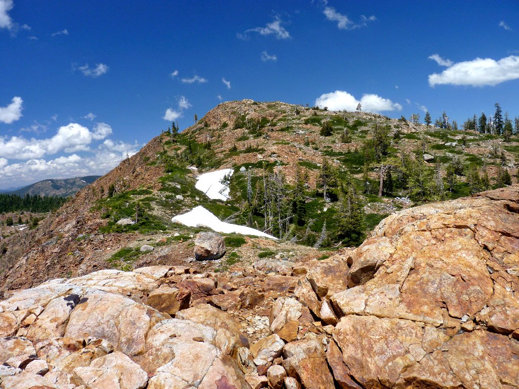
Grouse Ridge Lookout
We will avoid that snow bridge
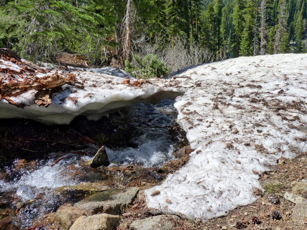
This time, we do continue down to the trail junction, and there is indeed some extra snow to negotiate. Repeating the shortcut would have been somewhat faster.
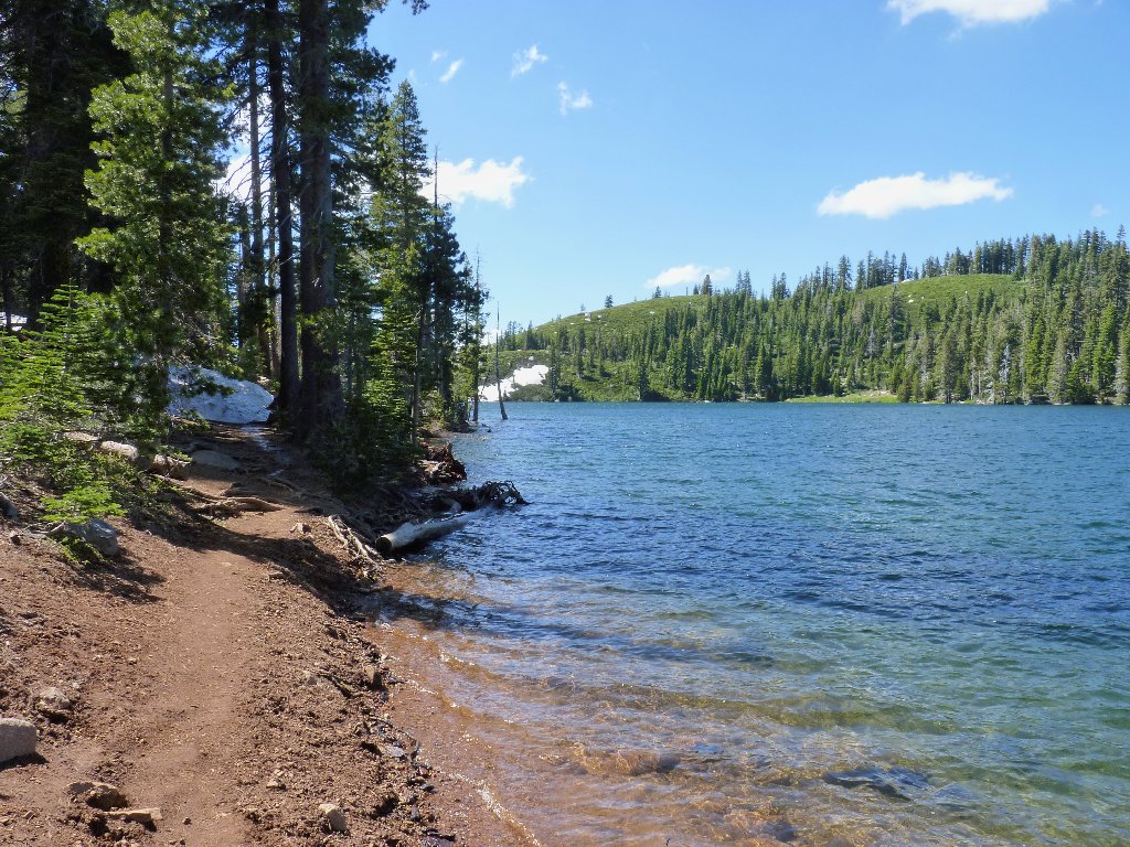
Feely Lake
§: Ali and I had a really good time today. The advertised
horrid trail conditions did not materialize; any obstacles merely added to
the interest of the walk. Crossing between the lakes on The Great Divide
was most enjoyable. And I am happy to report that the injured snake
had disappeared.
| Scenery |  |
| Difficulty |  |
| Personality |  |
| Adventure | |
| Solitude | |
