
Eldorado NF
|
Government Meadow Eldorado NF |
July 1, 2011
Last year I sprained an ankle right at this trailhead. I ended up visiting Cody Lake despite the injury, but I shouldn't have. In any case, I am back to try it again.
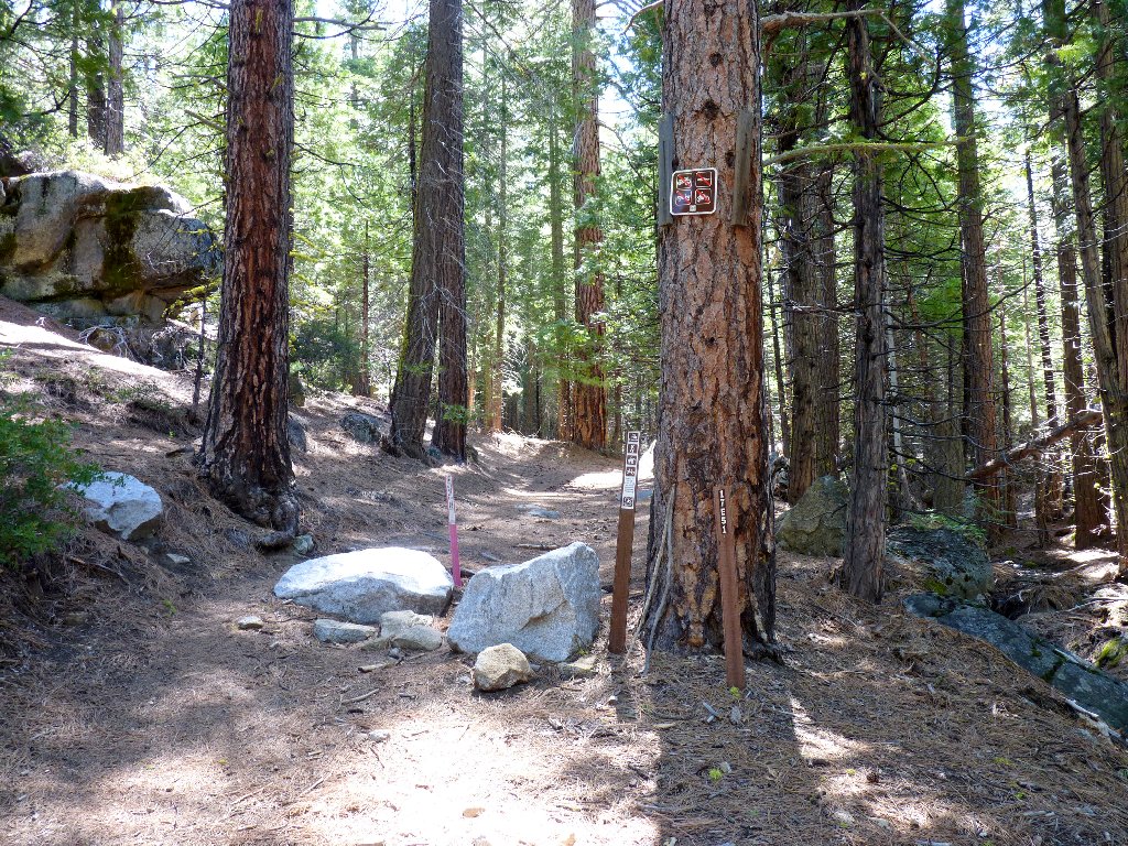
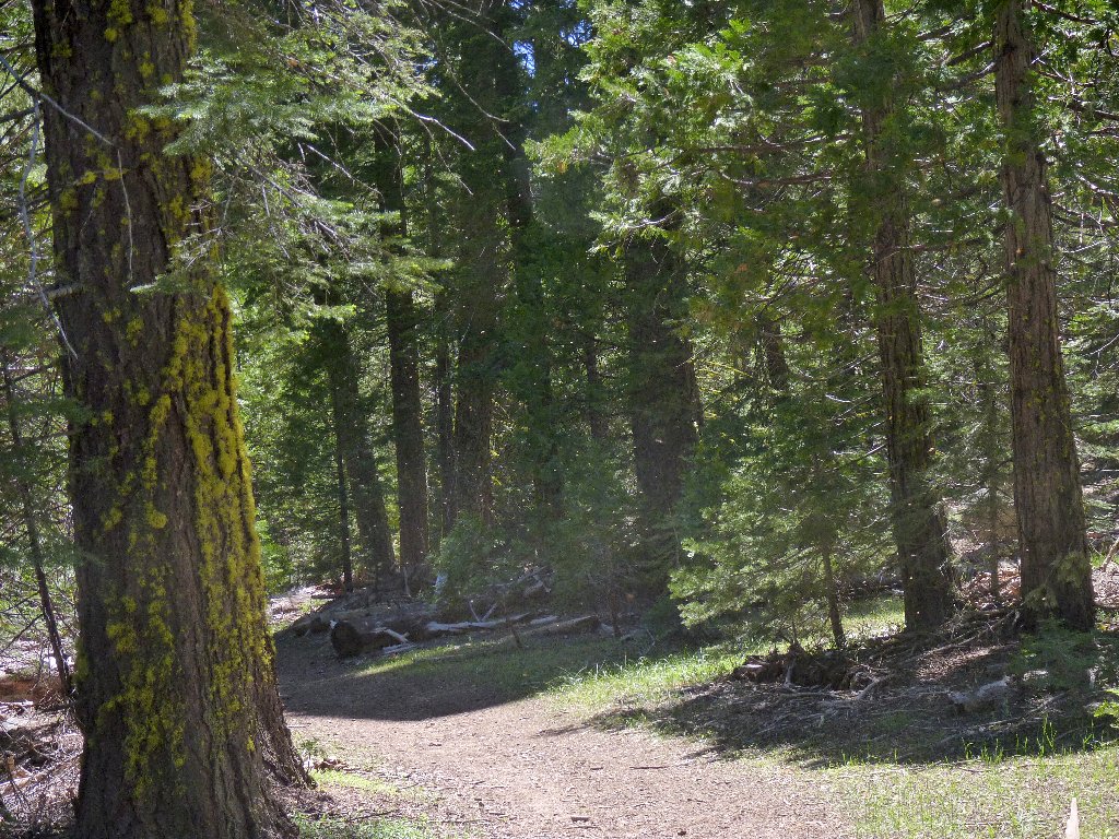
Start of the trail
Silver Fork Road remains closed by snow just up the hill from here; so I didn't know whether this trail would be usable. Hah! There isn't a hint of snow anywhere, so I could have visited sooner.
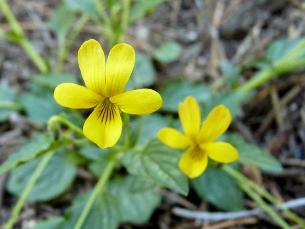
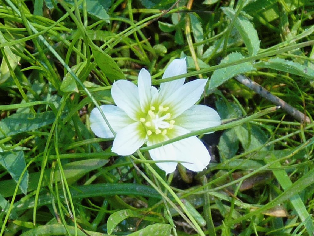
Evergreen Violets
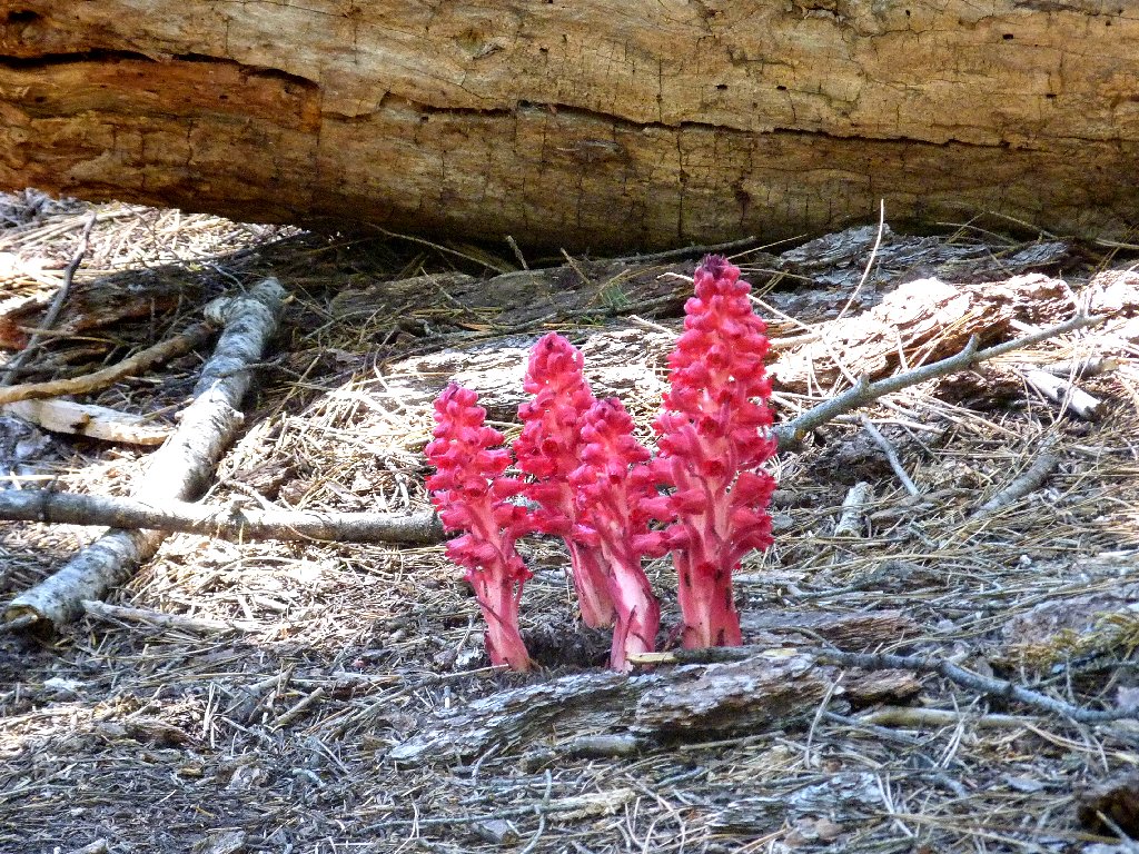
Snowplant
In the first mile I spot more than fifty snowplants, my favorite flower. I never have seen so many on a single trail.
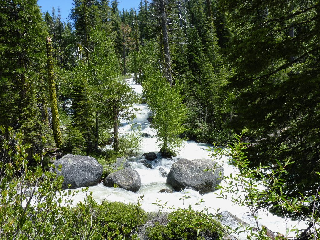
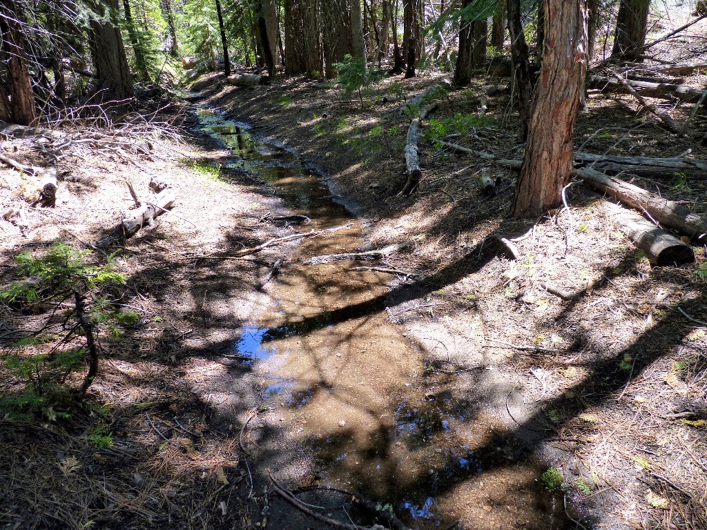
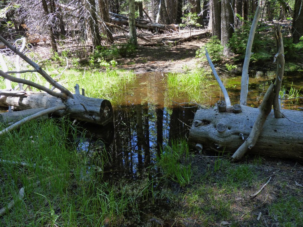
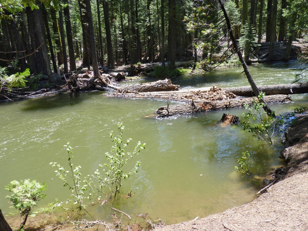
Lots of water
As are most of the local waterways, Caples Creek still is at flood stage. Completing the planned loop will require a pair of crossings, and I don't believe that there is a bridge at the upper end. I'll just have to see how it goes.
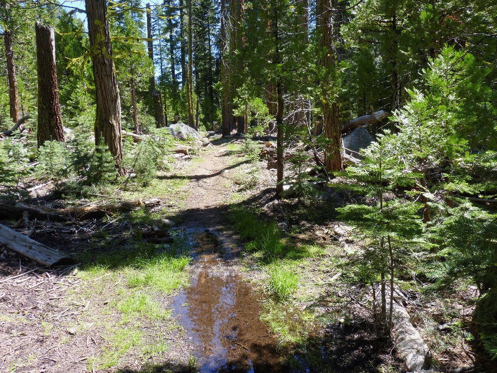
Water on the trail

Corn Lilies
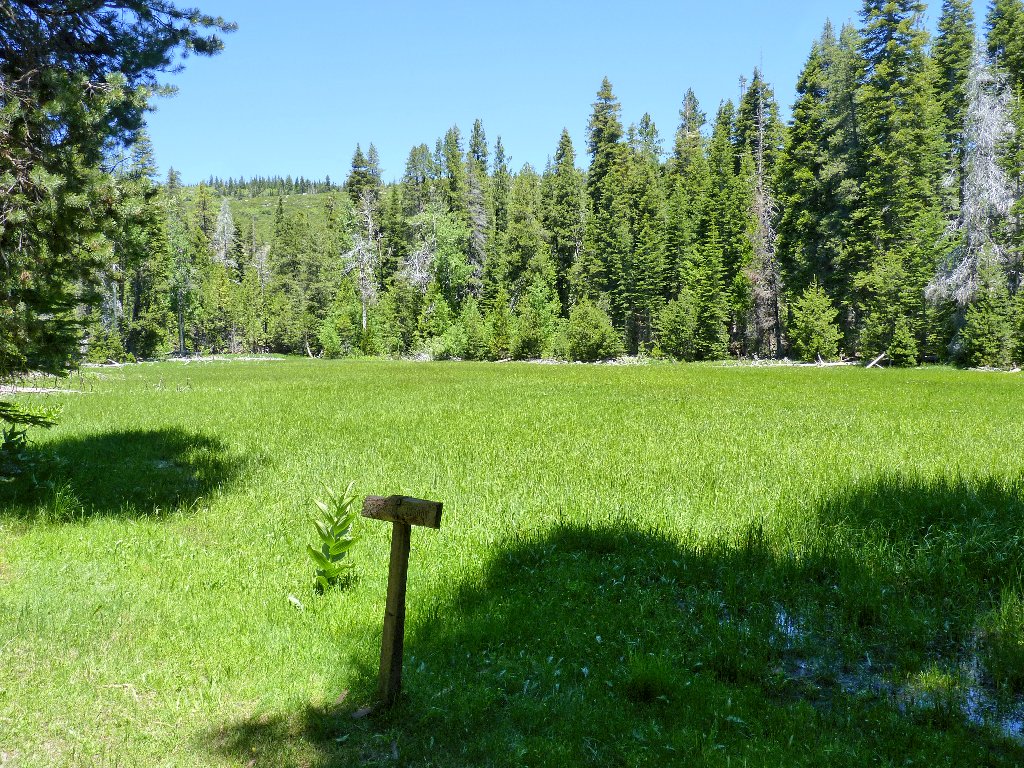
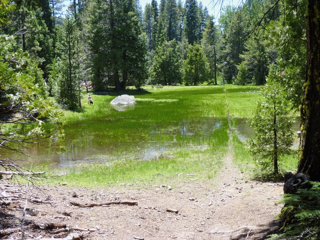
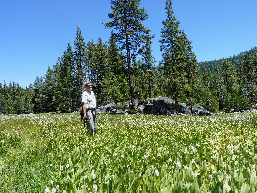
After two miles of easy going, a big meadow appears. Because it isn't too soggy, the trail across its center can be used.
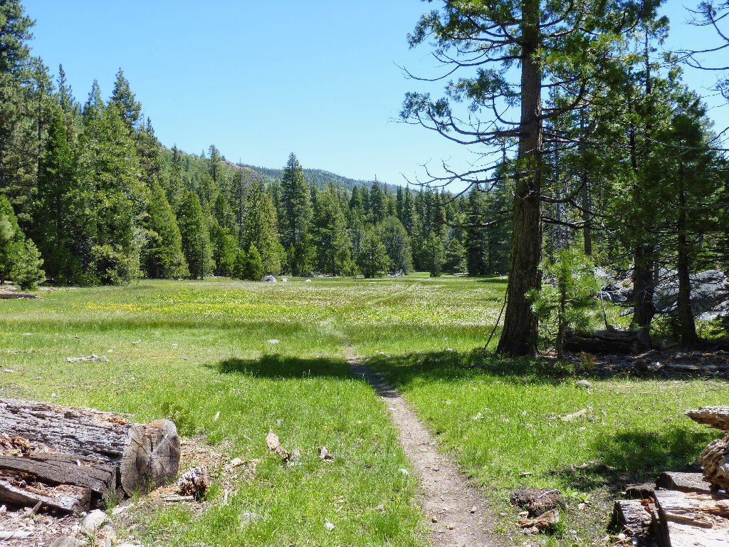
Jake Schneider Meadow is very nice
There are numerous photo-ops of meadow inhabitants.
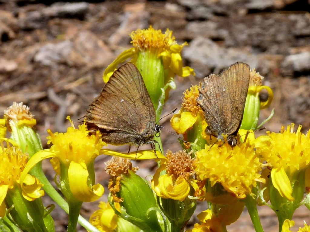
Butterflies on the Groundsel
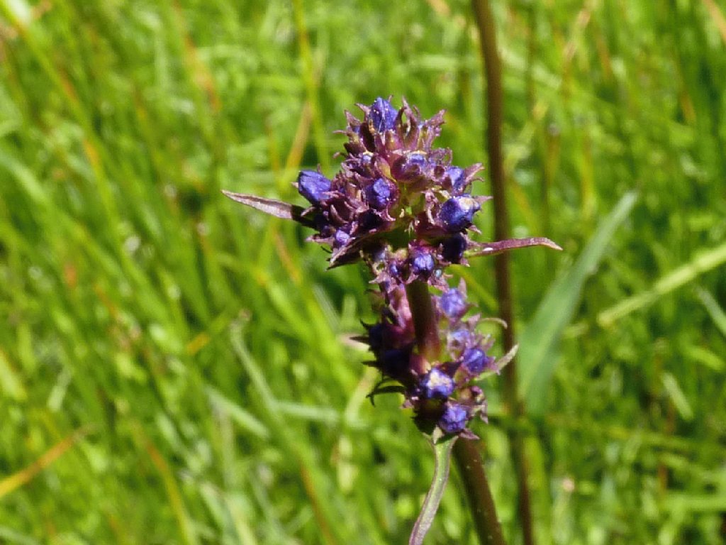
Self Heal
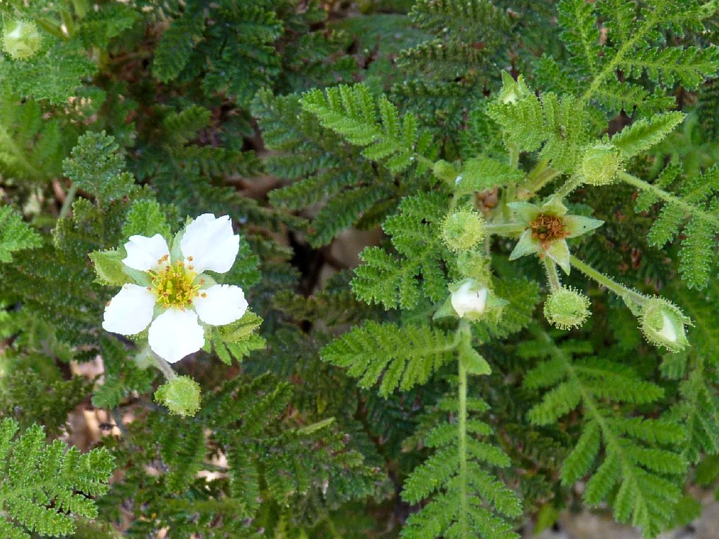
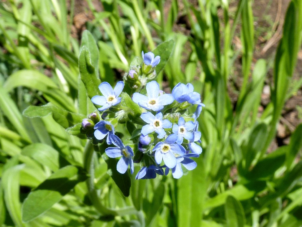
Nevada Lewisia
There is an unreadable signpost indicating the junction for my loop trail, but no path is evident. For the moment I continue on the obvious route.
Presently there are some loud human sounds, meaning that at least one small boy is nearby. Sure enough, a family of four from Davis is enjoying the marsh. Dad is not sure where we are or which direction they came from; I hope that he figures it out.
End of the meadow
My map shows a trail continuing eastward, so I follow it. A tiny little garter snake crosses the trail, then stops at its edge, enabling me to get a nice photo.
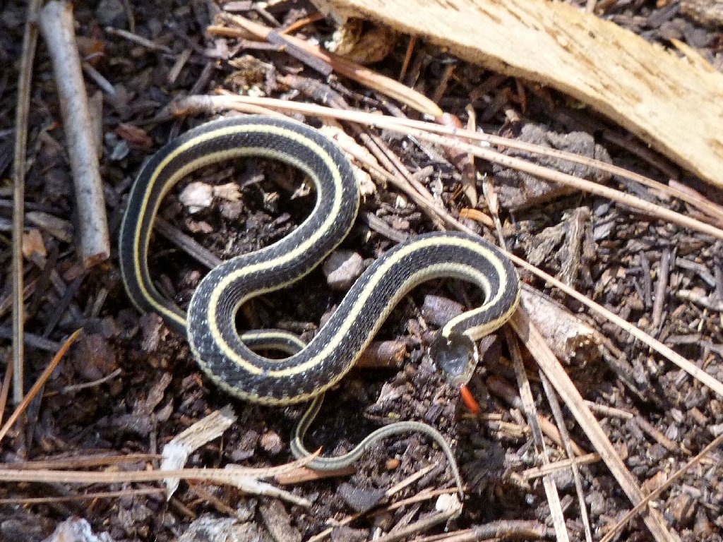
This fearsome critter is only a foot long
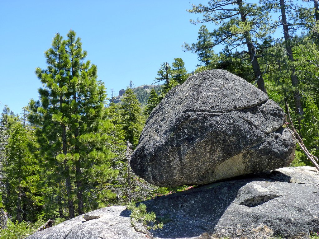
Peak 7044
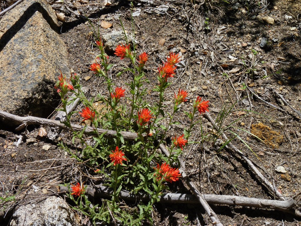
Paintbrush
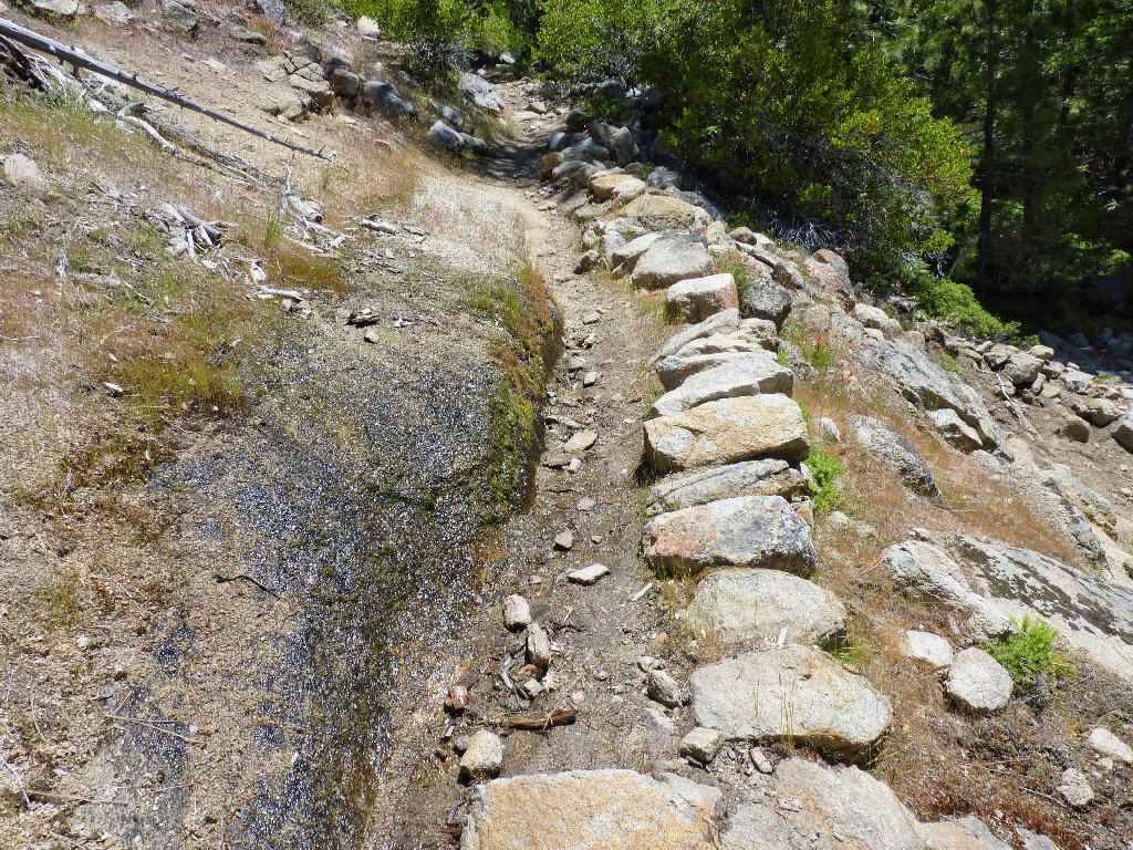
More water on the trail
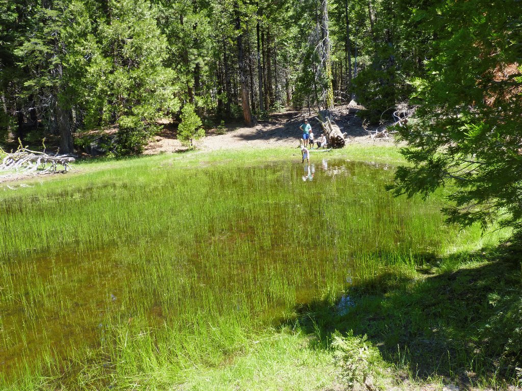
Another junction and another mile and a half later, I reach Government Meadow. Albeit quite green, it lacks the flower display of its counterpart.
Government Meadow
The trail continues past the meadow down to the bank of Caples Creek. I explore the rocks in the area, but efforts to find an accessible overview of the rushing water are in vain.
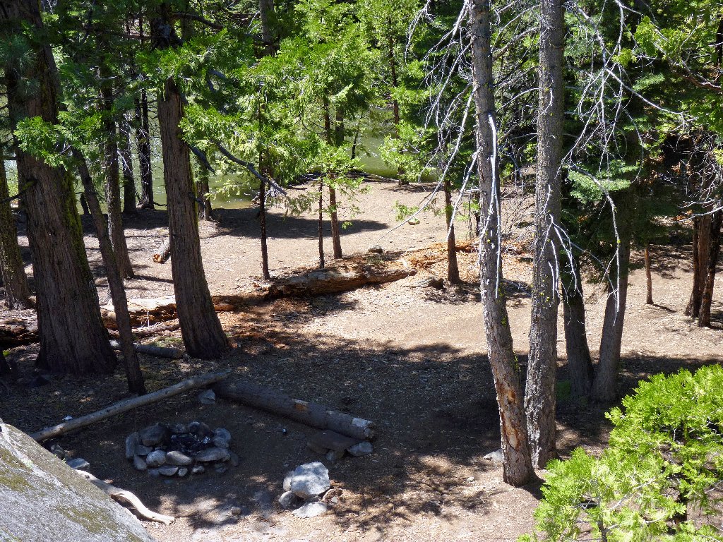
A nice campsite
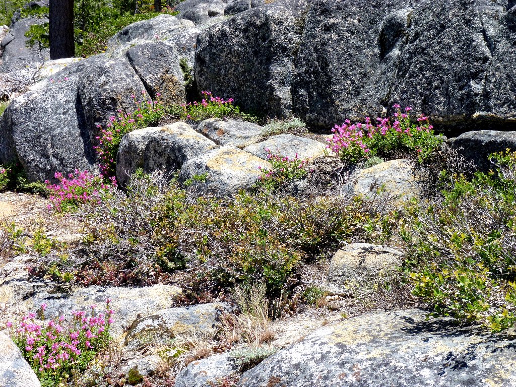
Mountain Pride
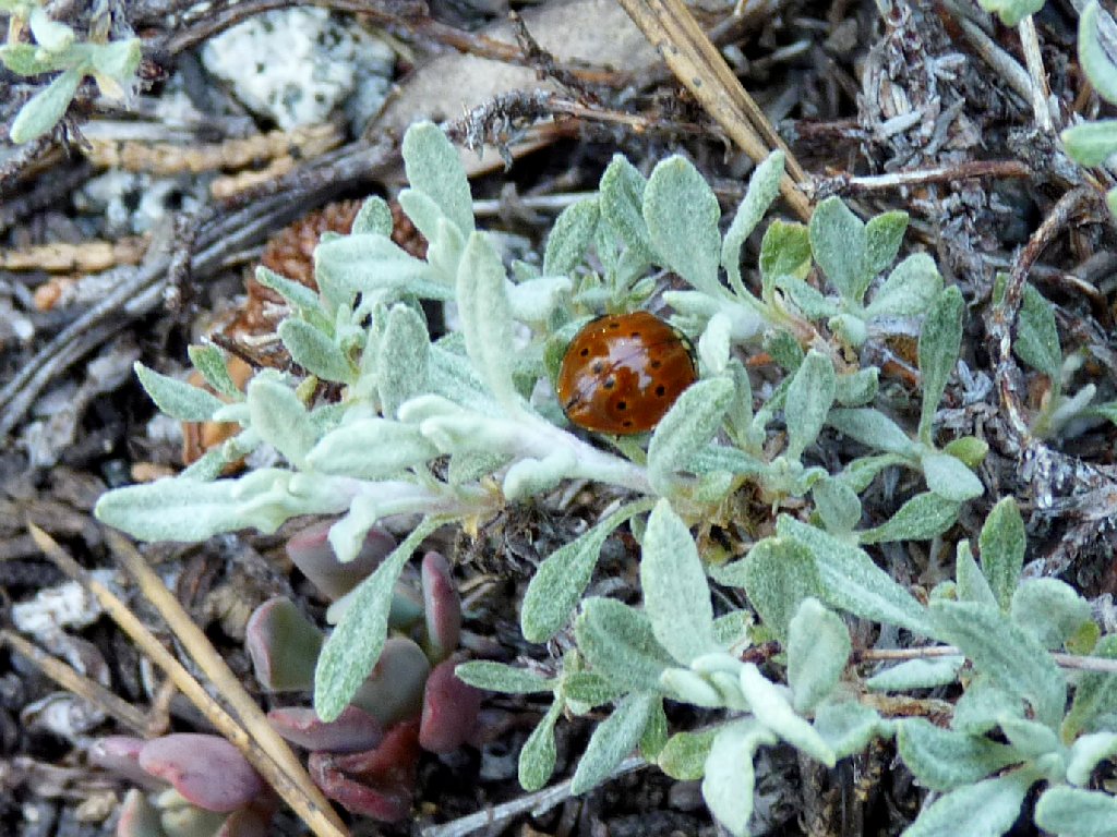
A Ladybug is sucking on a succulent
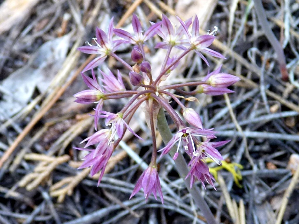
Sierra Onion
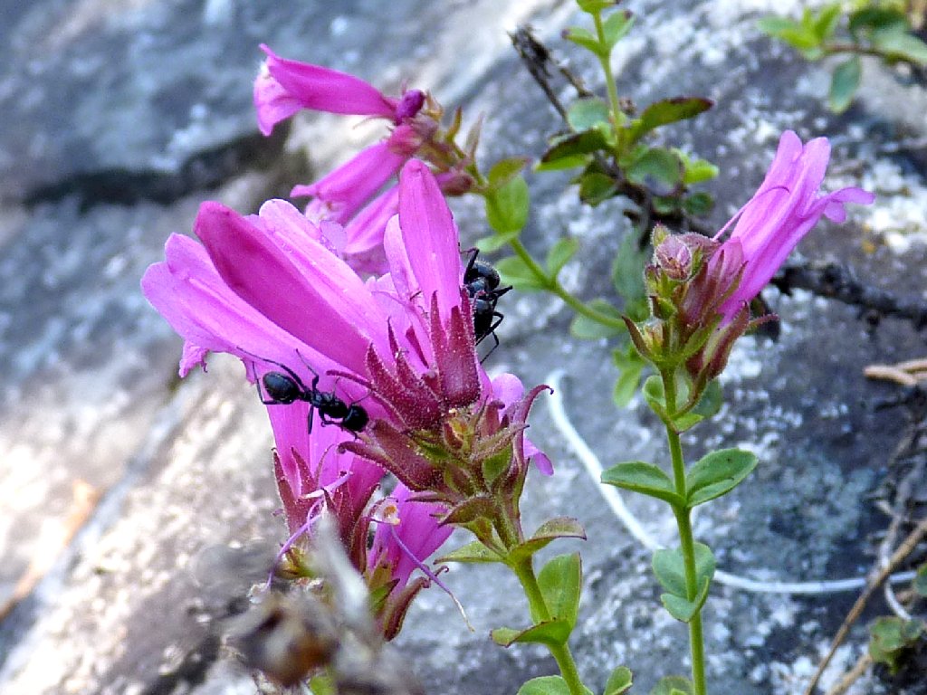
A couple of big ants add interest to the next photo:
Mountain Pride
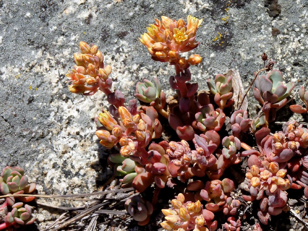
The Sierra Stonectop are just getting started
Castle Point, 8047'
In the right season the creek probably could be easily waded here, and I could access the loop trail after all.
There will be no crossing today
Time to head back. The going will be somewhat easier, because I know all the detours required on the way up in order to avoid the water obstacles.
There is a better way
Mountain Misery
Amazing color on that leaf
Back at the marsh, the Davis foursome is still there. The family dog has taken a liking to me. As I kneel and attempt to photograph flowers, the mutt gets in the way and sends my subjects flying. My cat would have been proud.
The two kids are searching for beetles
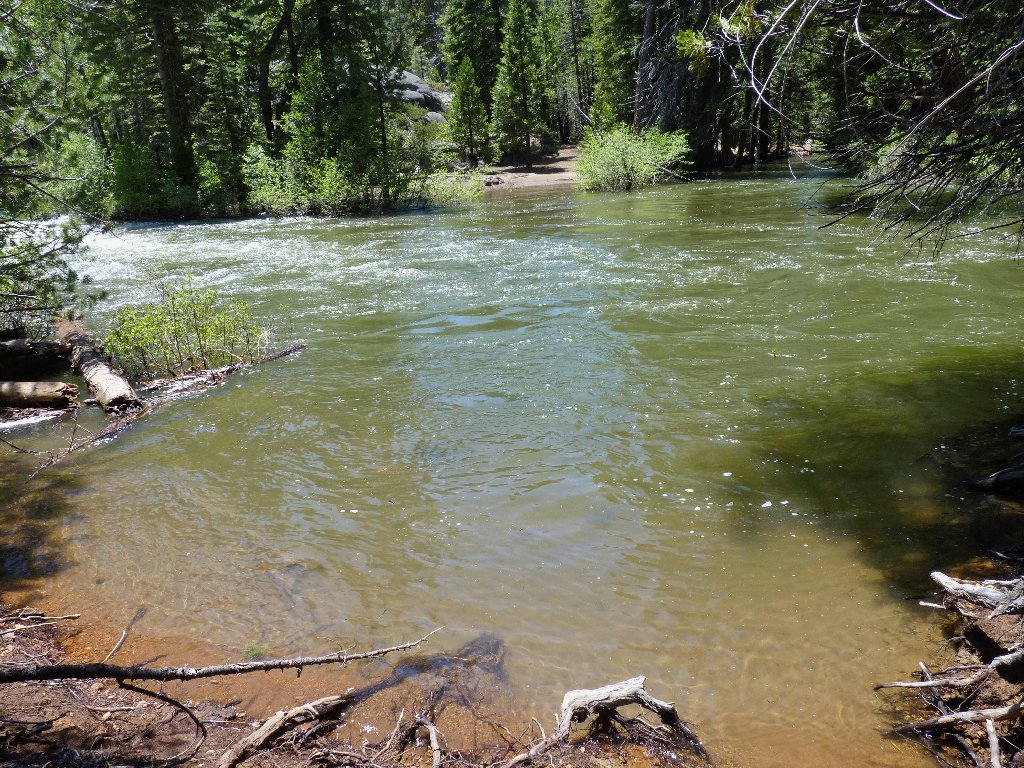
At this bloated level, much of the creek is relatively unattractive, being just a putrid green color. It will look much nicer later after the snow is mostly gone from the Carson Pass area.
No crossing here either
Is this Jake Schneider himself?
Sierra Stickseed
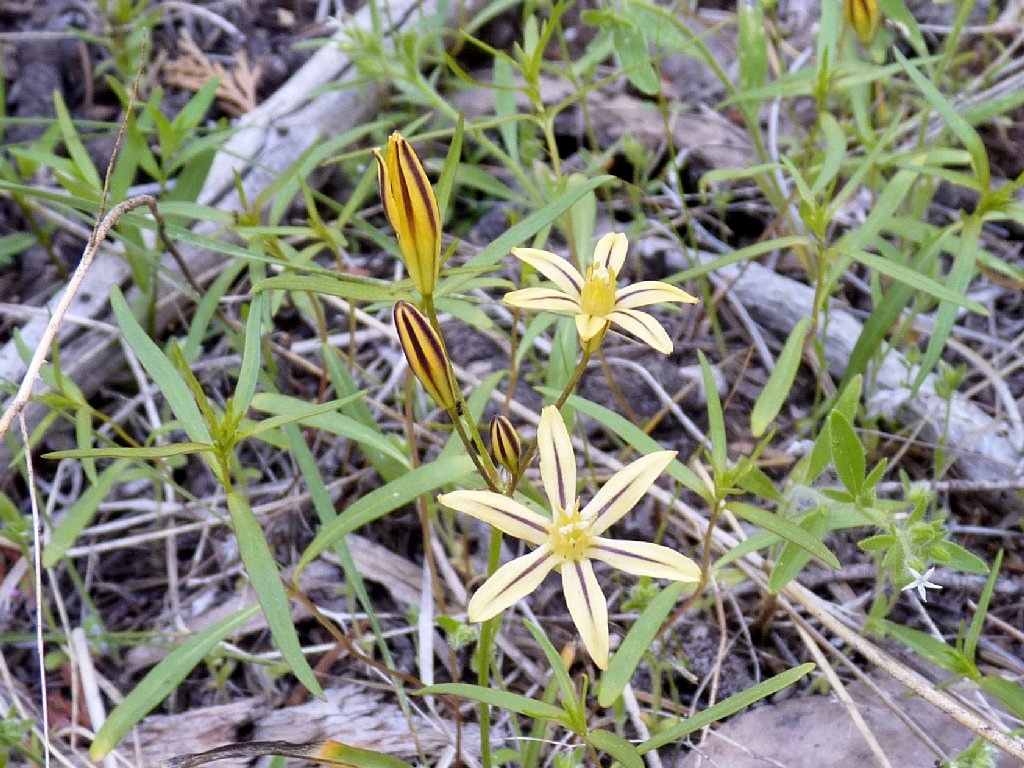
Prettyface
Suddenly a swarm of ladybugs engulfs me. These guys are crawling all over my clothes, and one of them gets stuck in my arm hairs, flailing about upside down. I gently pry it loose with a twig, and it flies off.
Look closely, and you will see a lot of ladybugs in the air
Soon after passing a threesome of hikers with a pair of big dogs, I am back at the trailhead.
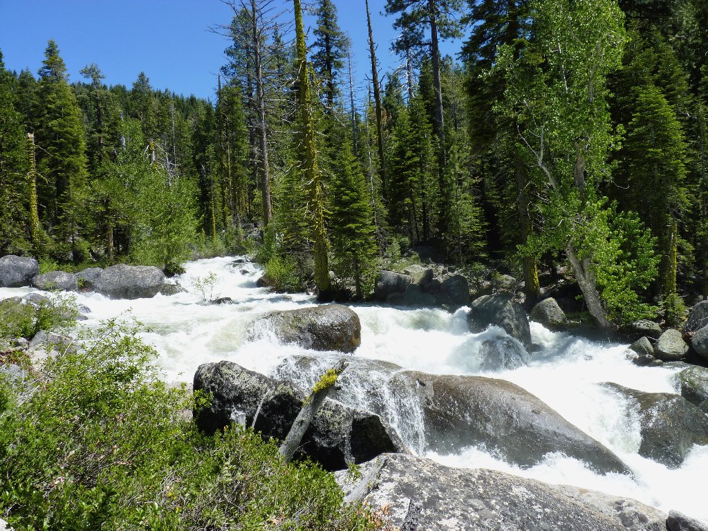
Last view of the creek
§: This was a pleasant, albeit unspectacular, outing. I must return
when the water level is lower, and complete the loop hike. I suspect that the
scenery is even better in the canyon that I missed today.
| Scenery |  |
| Difficulty | |
| Personality | |
| Flowers |  |
| Solitude | |
 |
August 2021: The first mile or so of trail is burned. Jake Schneider Meadow,
Government Meadow, and the campground on Caples Creek were spared. The loop option over the southern ridge has completely burned. |
