
near Moab, Utah
|
Corona Arch near Moab, Utah |
April 20, 2011
There is much on today's schedule, so I am out and about by 8 a.m.
On the way to the trailhead, there are some attractions overlooking Potash Road.
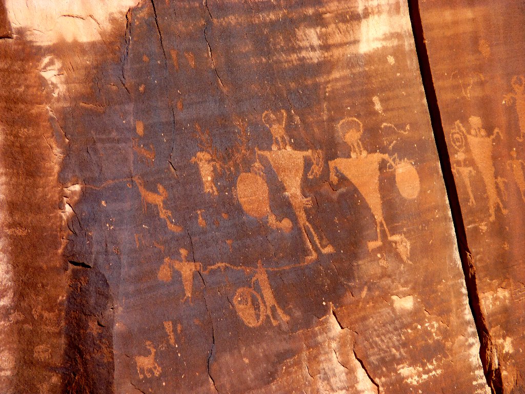
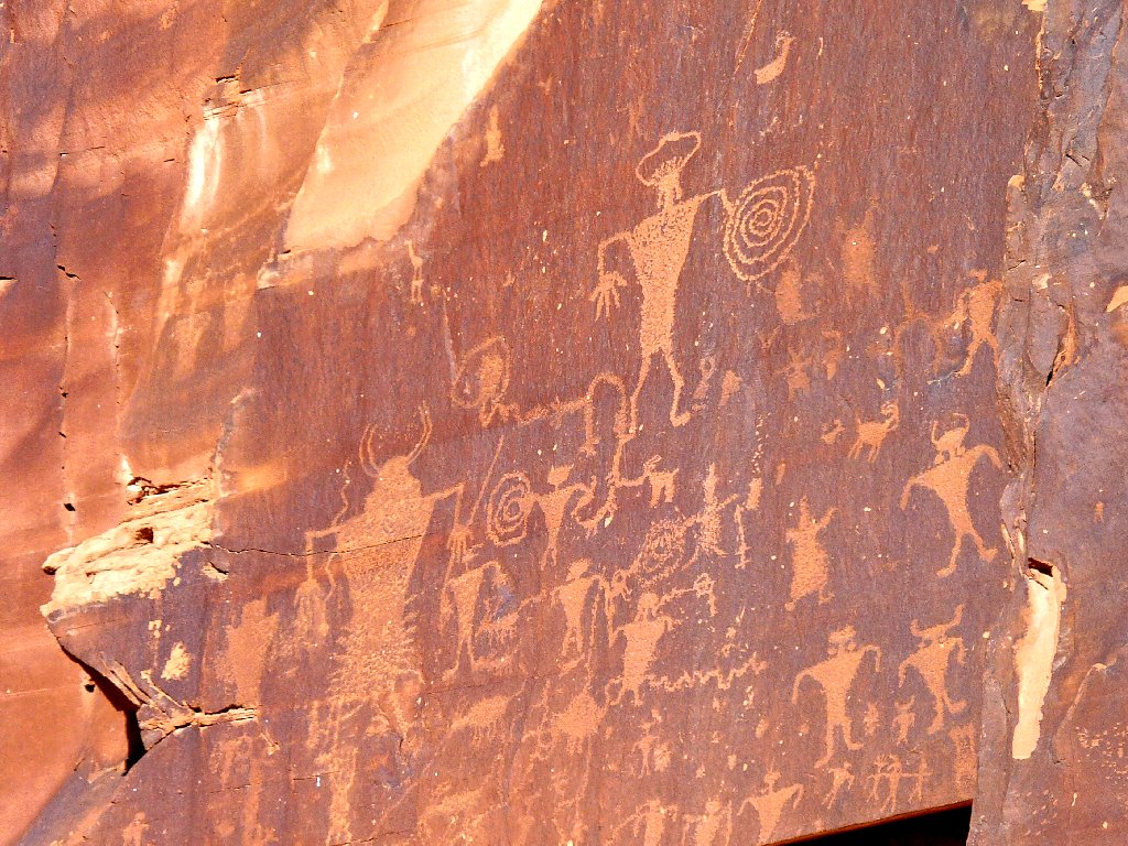
These petroglyphs are 30-40 feet above the highway
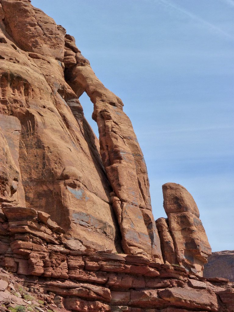
Jughandle Arch is, of course, a jughandle-type arch
Once on the trail, the first thing I notice is the variety of flowers, which finally are beginning to appear in the desert.
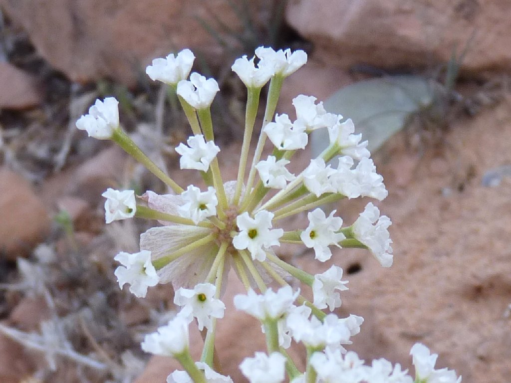
White Sand Verbena
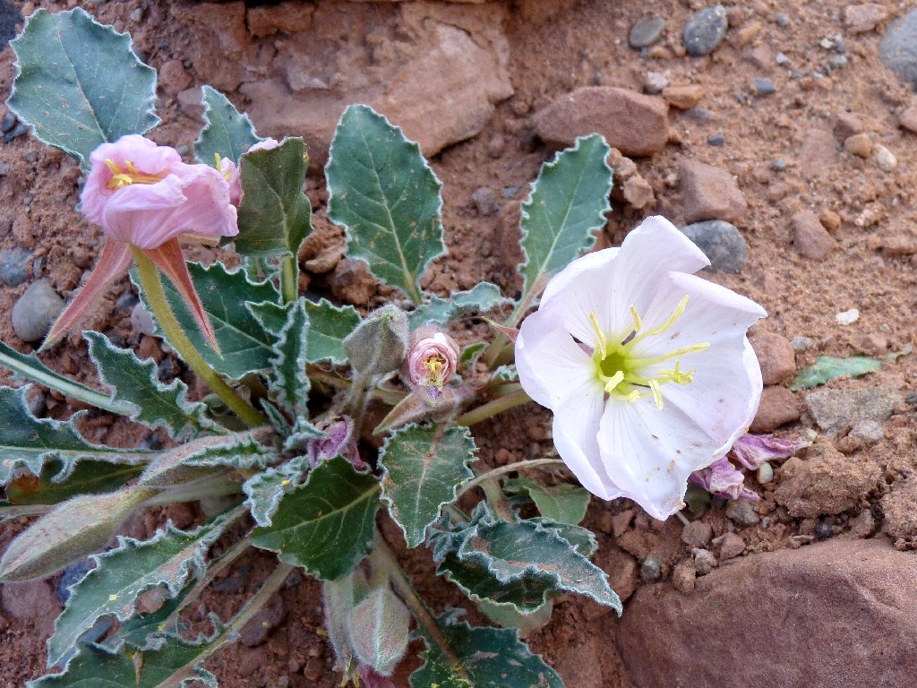
Tufted Evening Primrose
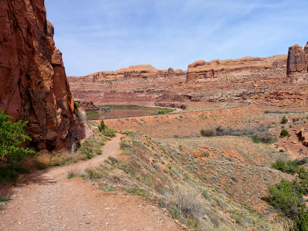
Early morning on the trail always feels good
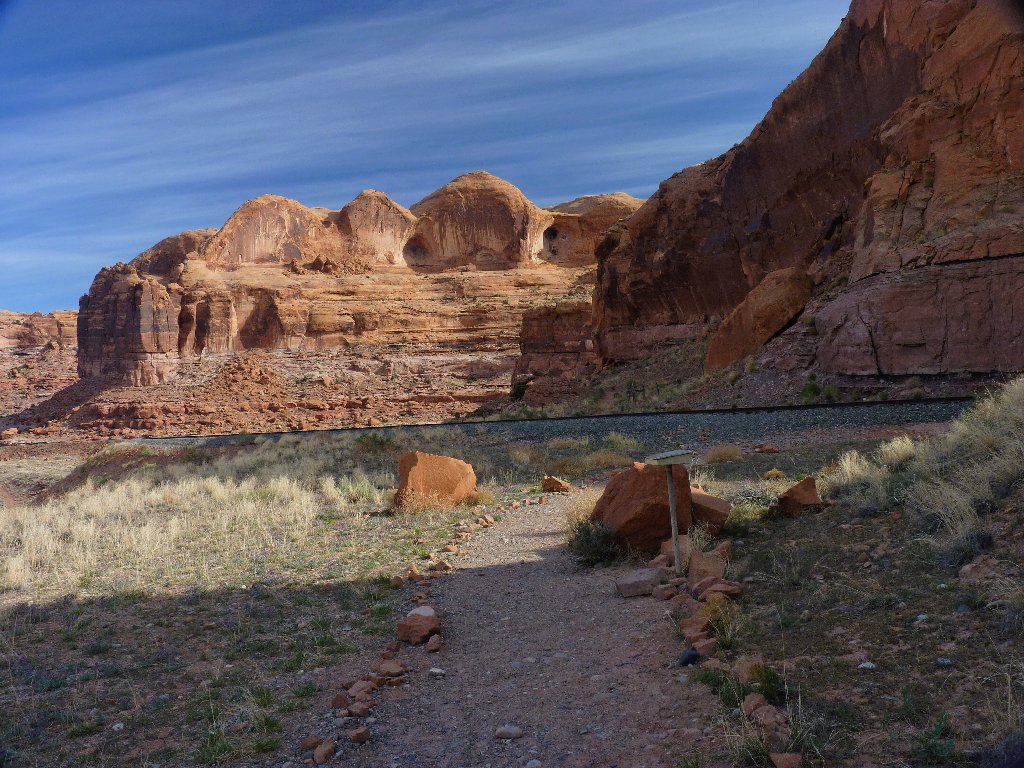
Within five minutes, I cross the railroad tracks that service the nearby giant potash mine.
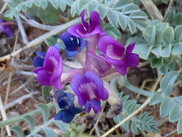
Locoweed

This line, built in 1964, features a mile-long tunnel
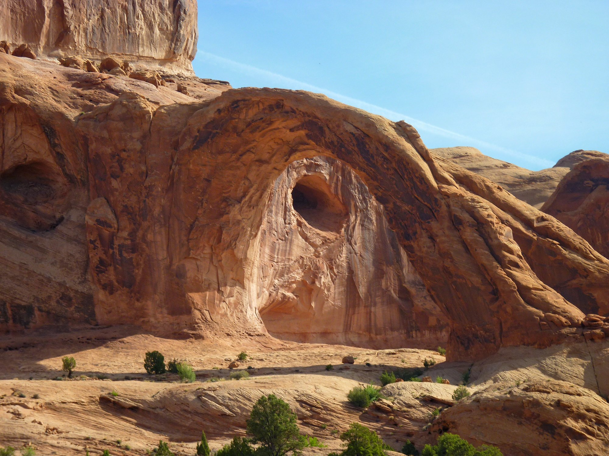
Around the first corner, the scenery becomes more interesting.
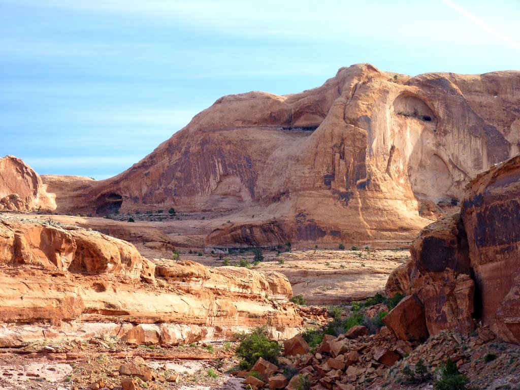
It looks like the face of a giant turtle up there
Around the second corner, the first blooming cactus I have seen on this trip becomes the subject of many photos.
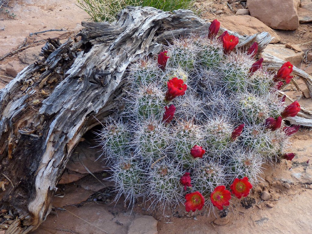
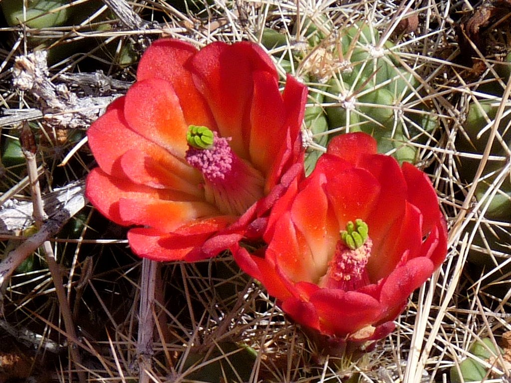
Claret Cup Cactus
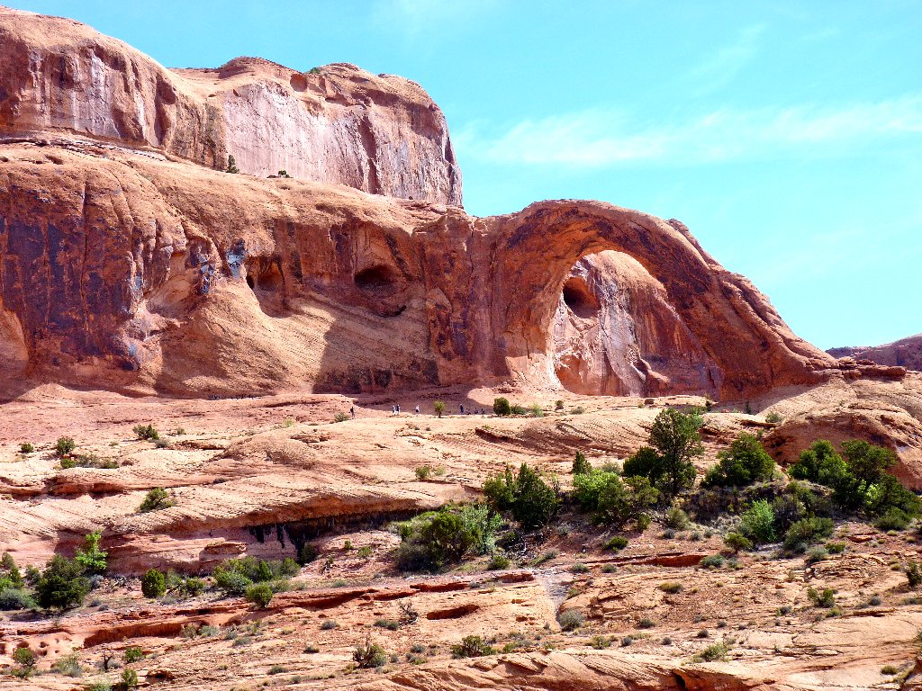
Around the third corner is a first view of the spectacular destination. Oh, my!
Corona Arch ⇔
The next quarter-mile features man-made aids in several places.
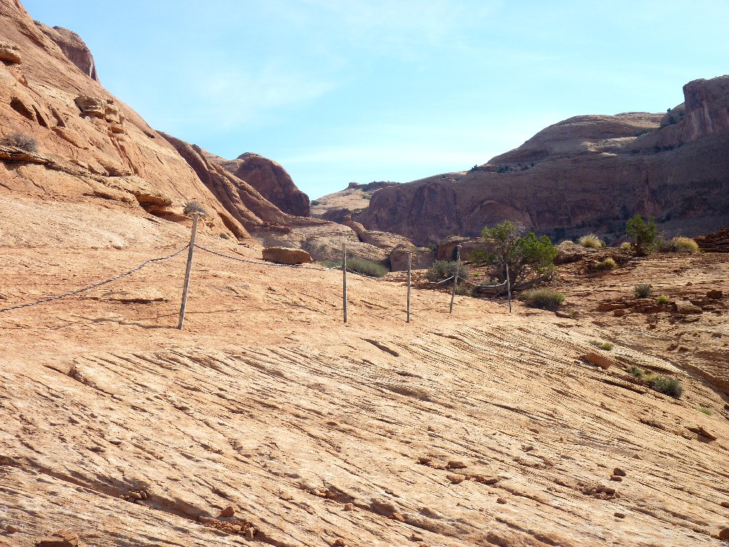
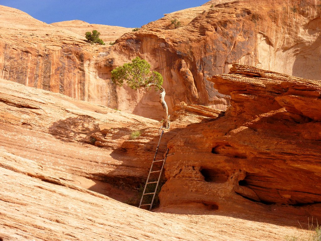
The handrail isn't really needed, but the ladder is
Made it! That sure was an easy walk. Quite pleased about having the whole place to myself for the moment, I proceed straight through the arch to its more photogenic side.
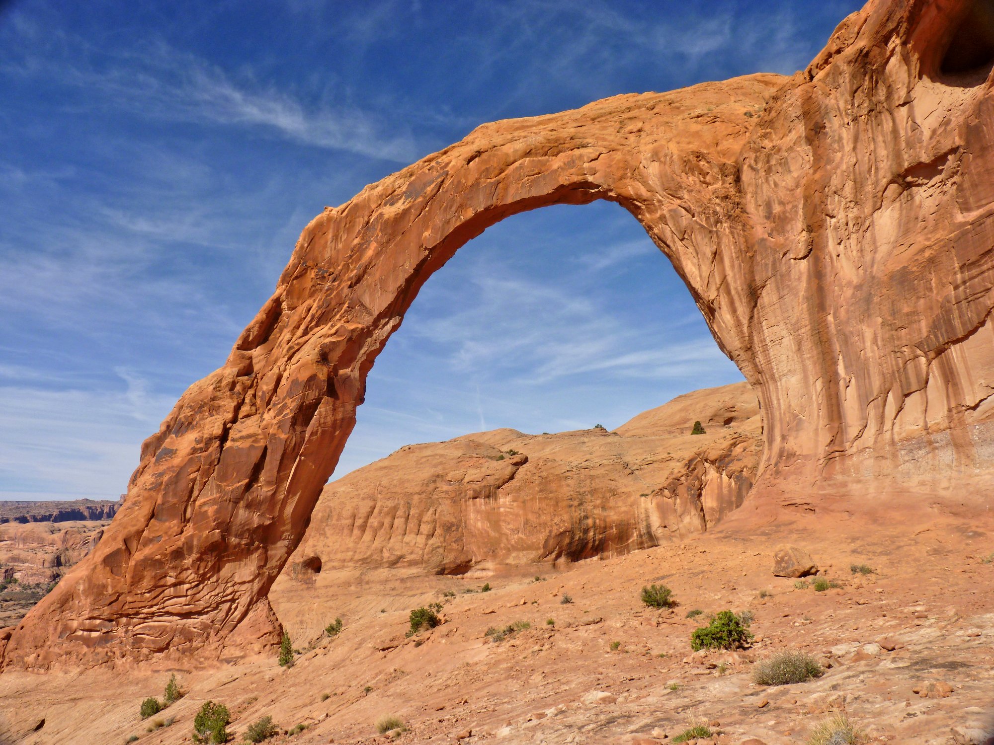
Called Little Rainbow Bridge on the topo map,
this one is markedly similar to its namesake ⇔
The size comparison is accurate, because Rainbow Bridge itself is much bigger. The original designation, however, was a misnomer, because this one is not a natural bridge at all. In any case, such an extraordinary structure merits a meaningful name of its own.
A pair of hikers is approaching, about five minutes away yet. When they do appear and see me with a camera, the woman apologizes for interfering with my photography. I promptly reassure her that I have been awaiting their arrival so as to add some perspective to this scene:
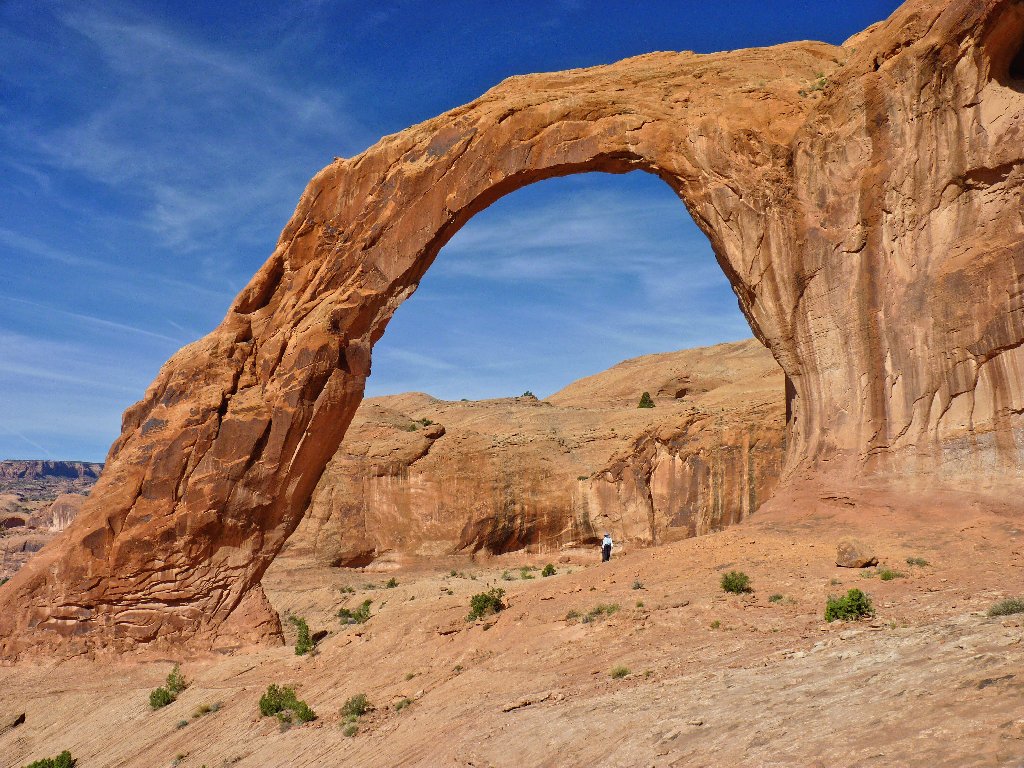
The opening is 105 feet high
Near the base of the big arch is its little brother:
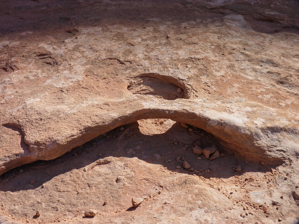
The opening is .105 feet high
This arch made headlines when a stunt flier guided his biplane through Corona and many other local arches. Also, one can pay for assistance with a rappel from the top of the span. I'm glad that I wasn't present for any of those events.
In the background is a nice view of the area traversed by the trail.
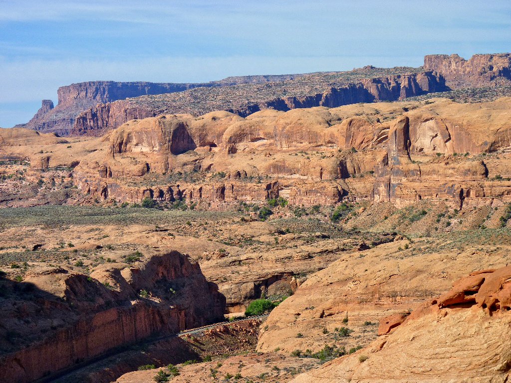
Both the highway and the Colorado River lie just out of
sight in the center of the photo
One of my new acquaintances graciously takes my photo, which immediately becomes
my all-time favorite shot of myself on the trail. Thanks, Fred.
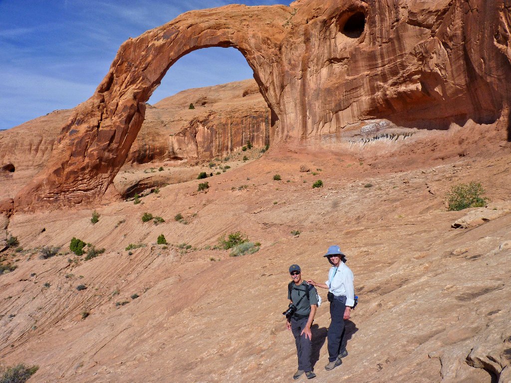
Fred and Rosemary from Sedona
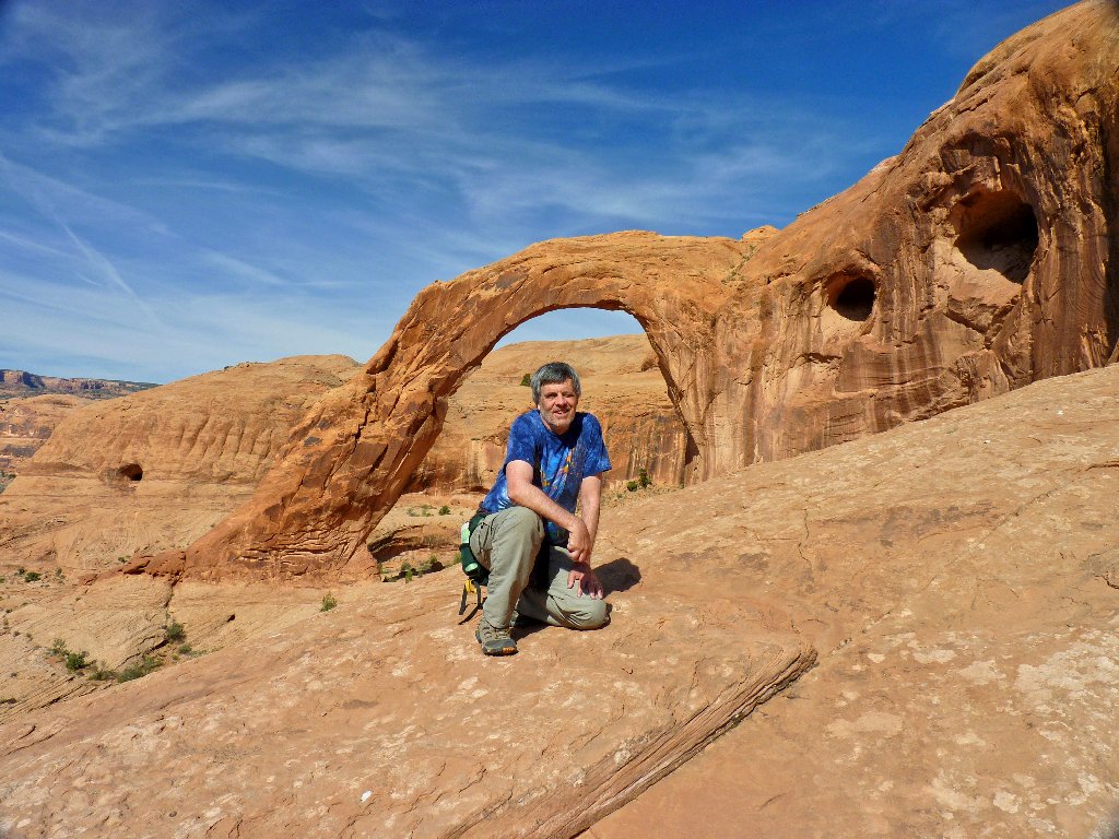
Yours Truly from Sacramento
Adjacent to the main attraction is another big span — a noteworthy formation in itself.
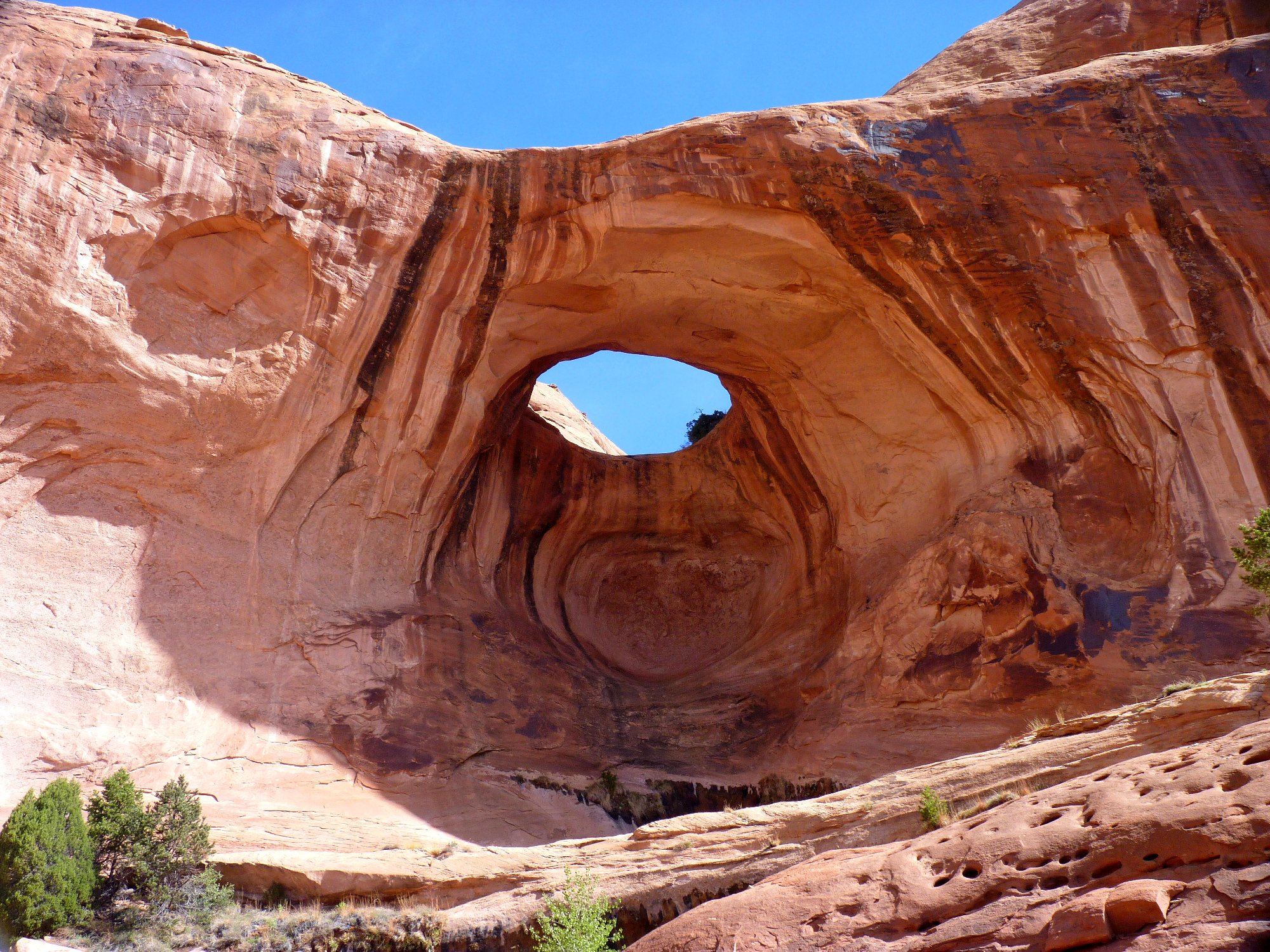
Bowtie Arch ⇔
As I start back, a dozen shirtless boys pass by me, hooting and hollering. It seems that I have departed the area just in time.
The crowd reaches the arch
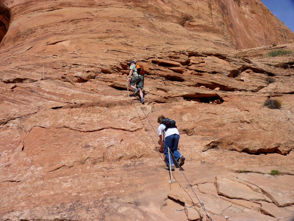
Via Ferrata!
Inexplicably unnoticed on the way in lies a giant pile of rocks that must have cost its creators a great deal of time and effort, and it should not have been built at all:
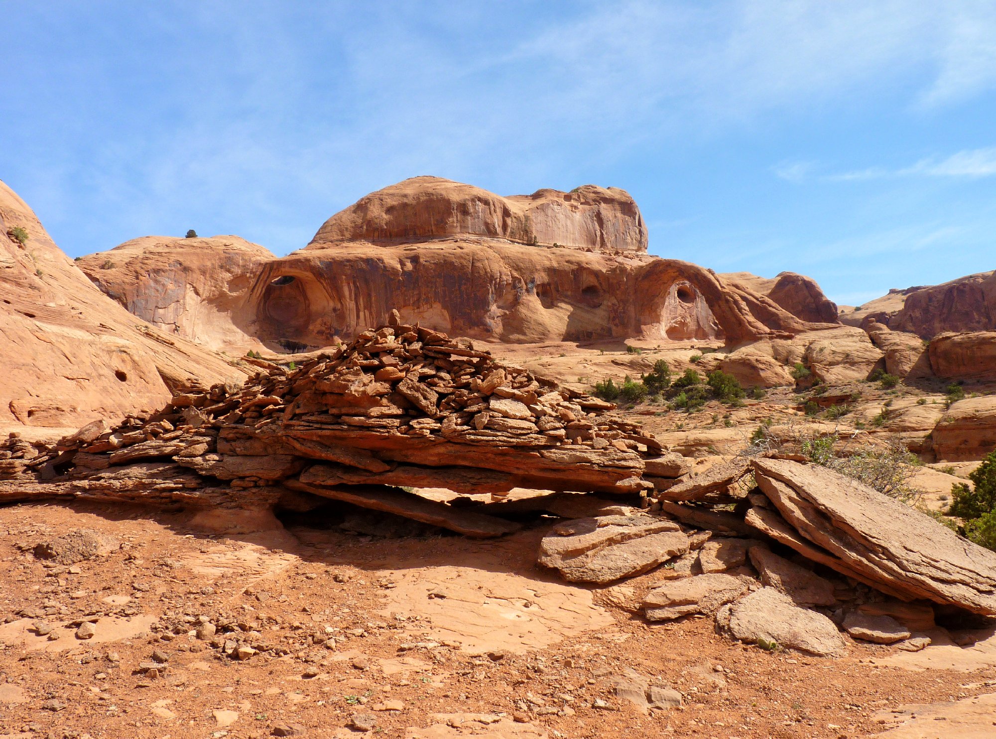
This abomination is not needed in order to locate the trail
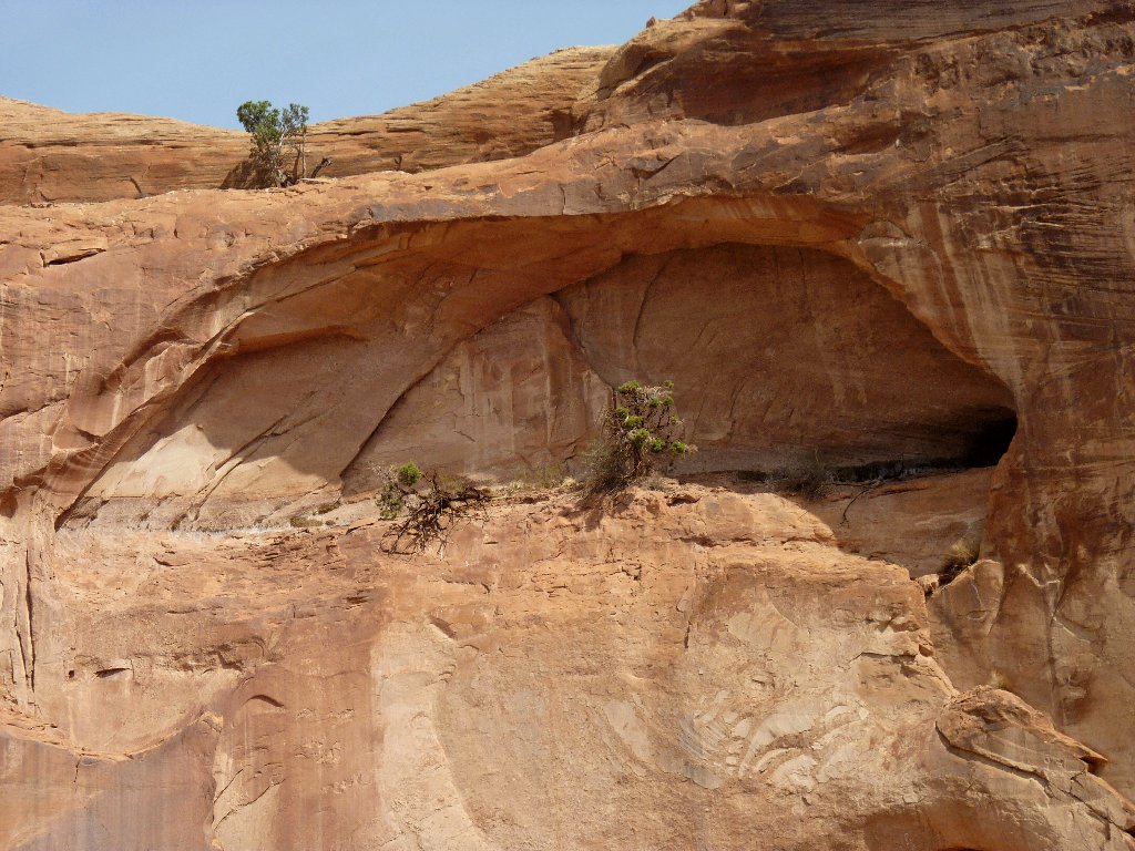
High above is an alcove sporting a couple of trees growing seemingly out of solid rock. How do they do that?
The left eye of the tortoise
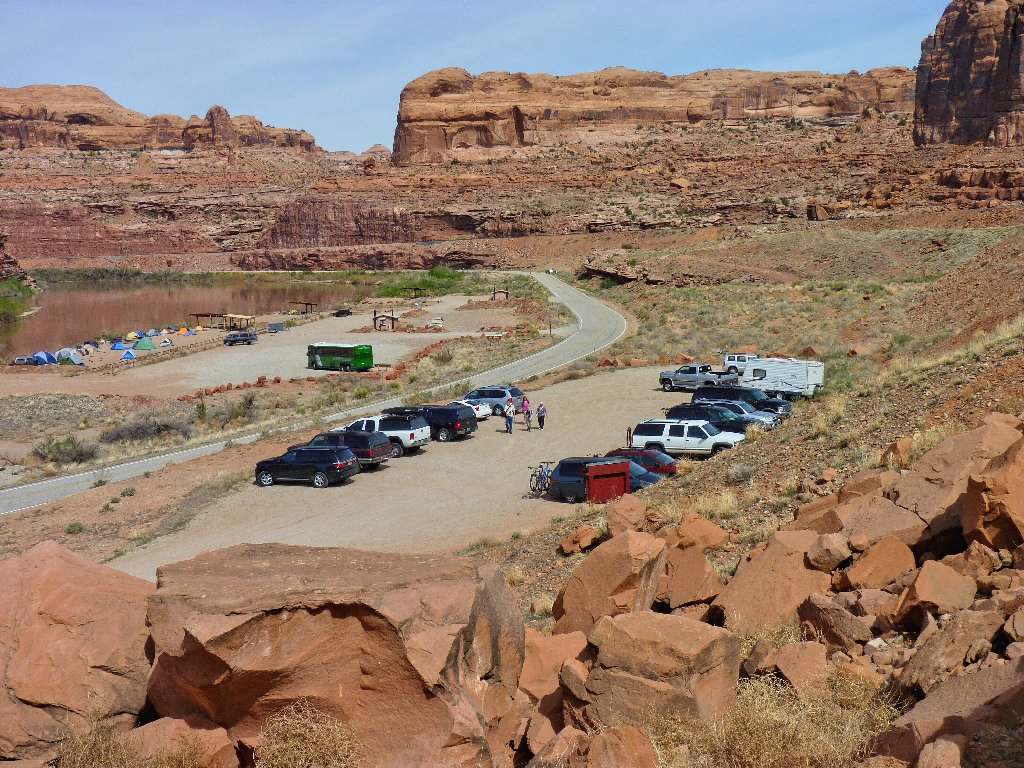
Near trail's end the river reappears, then the parking lot. That tent community across the road is a camp of cyclists, all of whom already are gone, probably to the wildly popular Poison Spider Mesa just south of here.
§: Trails to magnificent arches don't come much easier or
more accessible than this one. Morning is best.
| Scenery |  |
| Difficulty |  |
| Personality |  |
| Flowers |  |
| Solitude |  |
