
Tahoe National Forest
|
Ellis Peak Tahoe National Forest |
November 3, 2010
The mileage to today's trailhead is about the same, whether using
US-50 or I-80. Route-50 is prettier, but the
interstate is faster. I believe that I will make a loop and go both
ways. It is supposed to be a fine day on the trail, with temperatures
reaching the high sixties in the Tahoe Basin.
Although many maps denote the access route as Blackwood Canyon Road,
a marker bearing that name does not exist at the junction with
SR-89. I already know to watch carefully for a sign labeled
either Barker Pass Road or Forest Road-3. That being done,
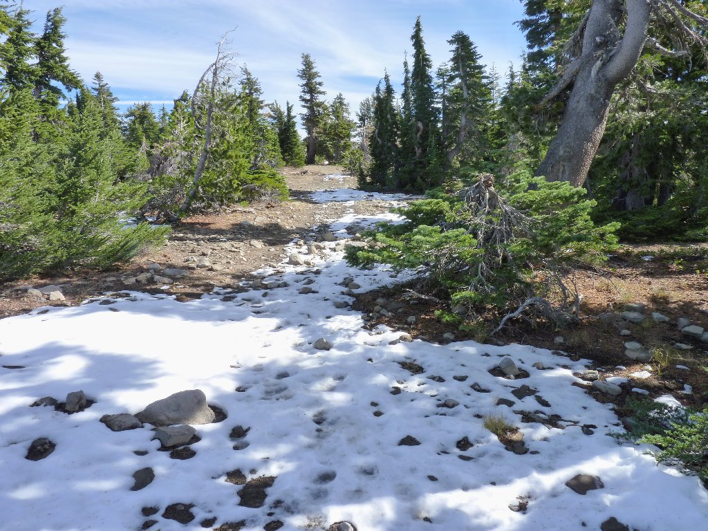
I find unexpected ice and snow on the shadier sections of the pavement.
At the trailhead, the entire area has had a recent dusting of snow; so this
rates to be an interesting outing.
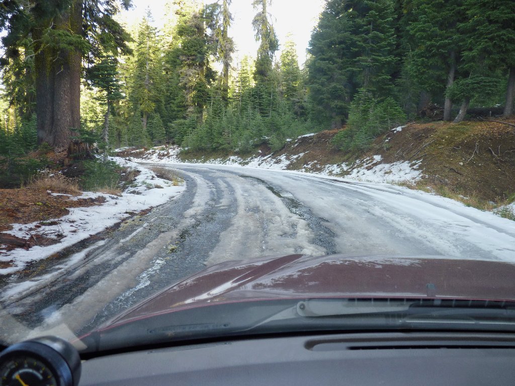
Barker Pass Road
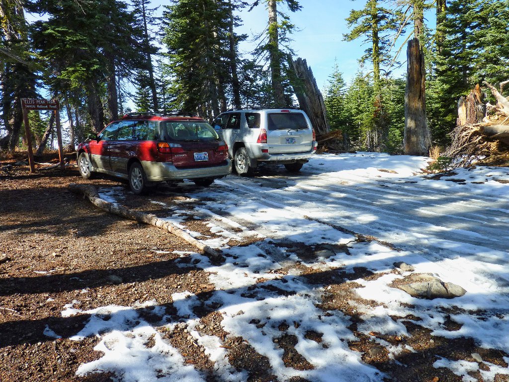
At the trailhead
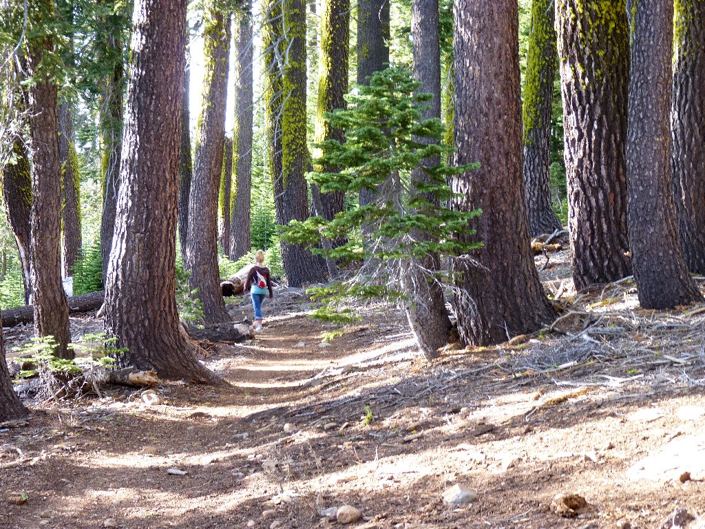
The first half-mile of trail is a series of slippery switchbacks that climb some
500 feet up the north-facing slope. A hiker, who clearly knows
the area, detours straight up the mountain side with his dog. Atop the ridge,
the trail clears up. I put away my gloves and headband, for it is plenty
warm enough up here in the sun.
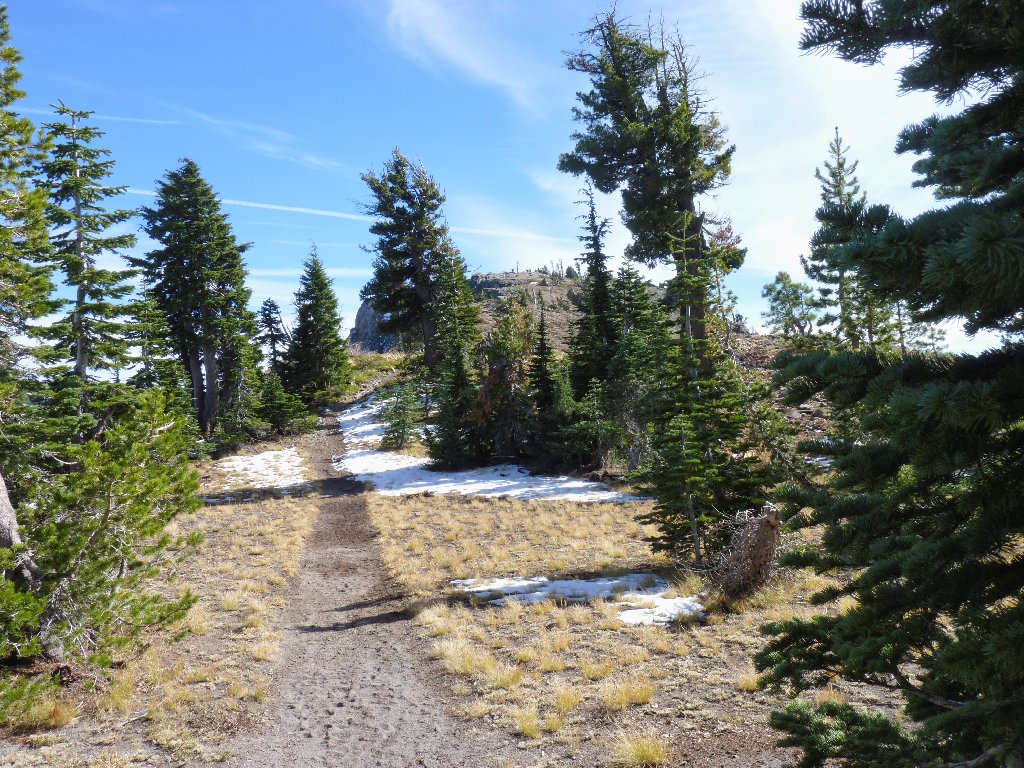
On the trail
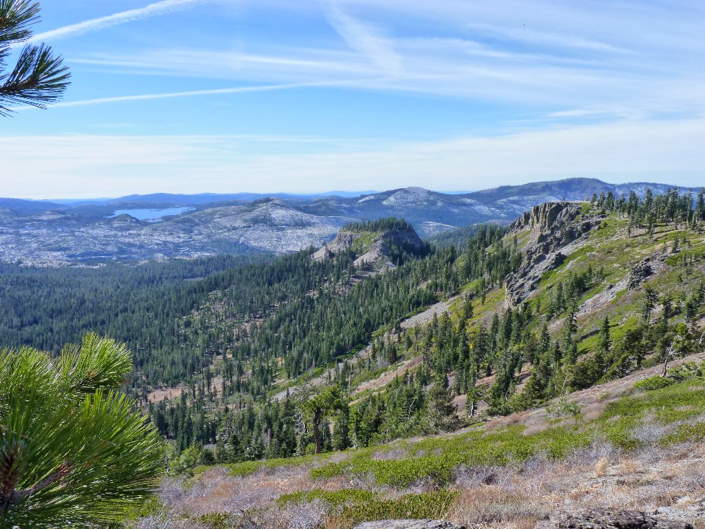
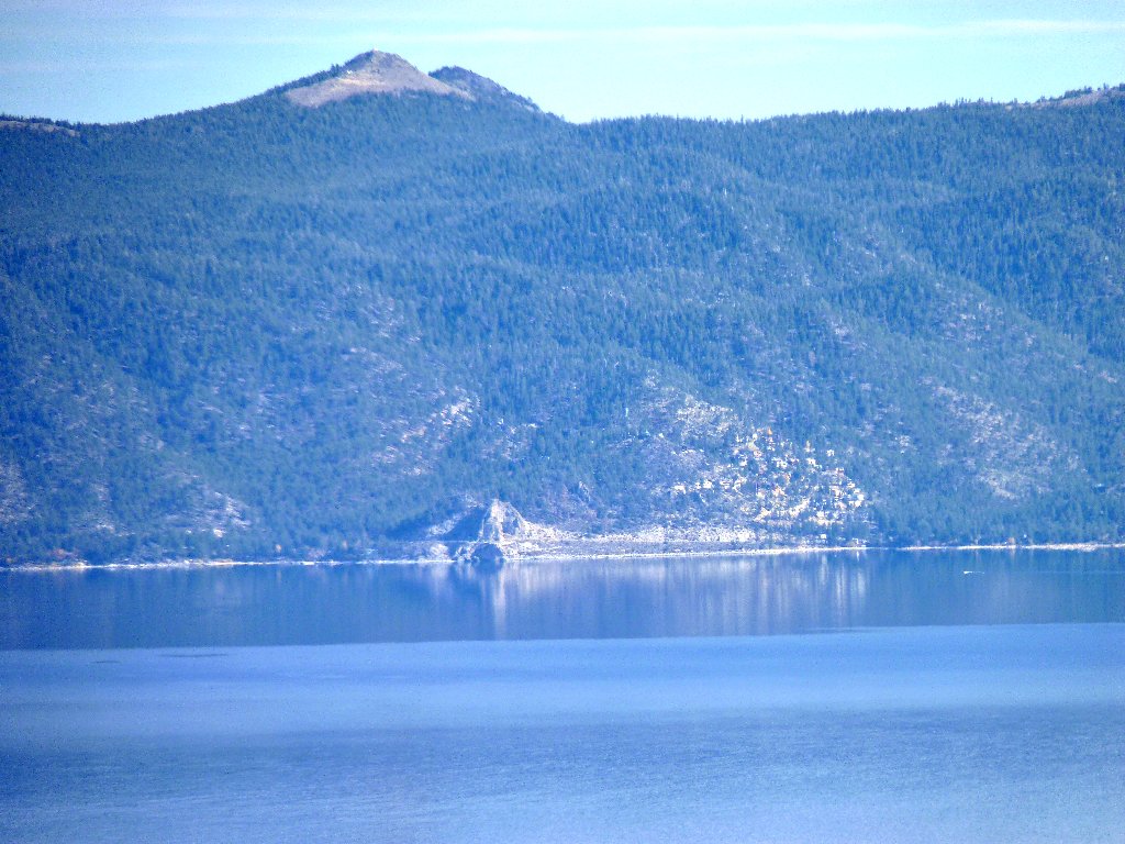
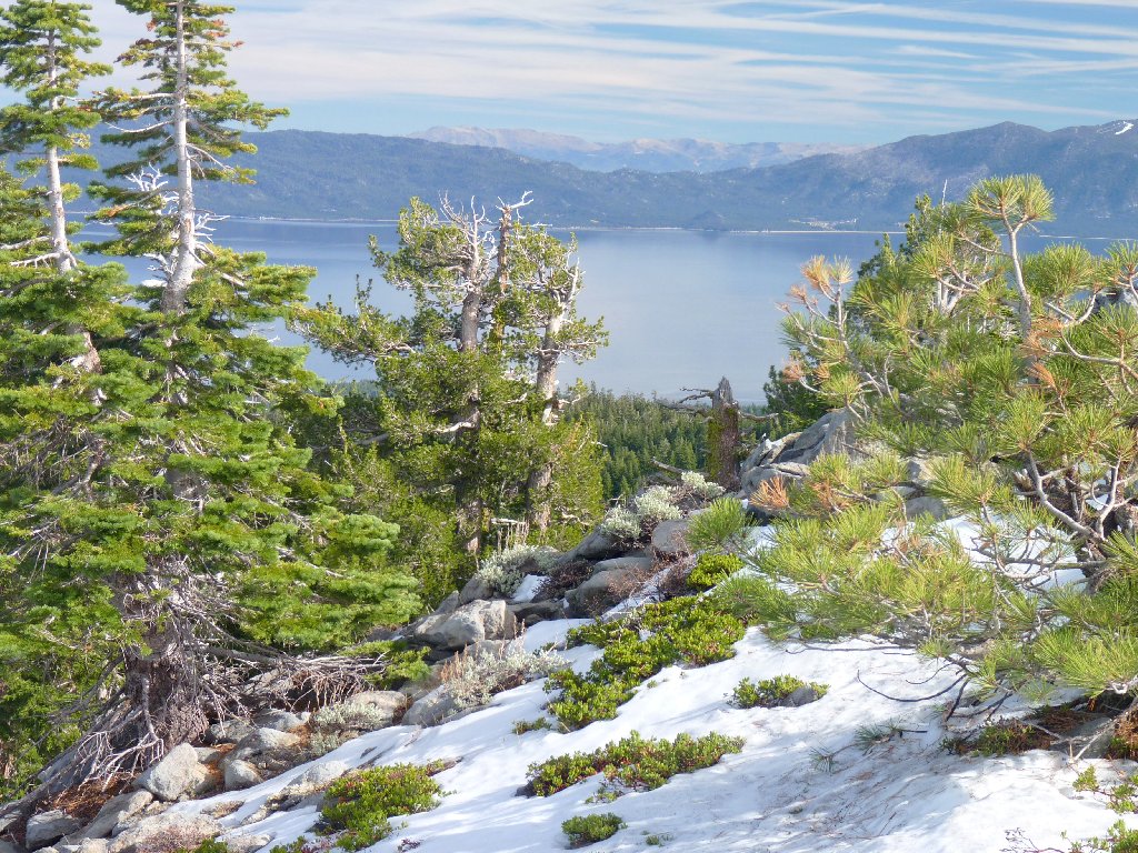
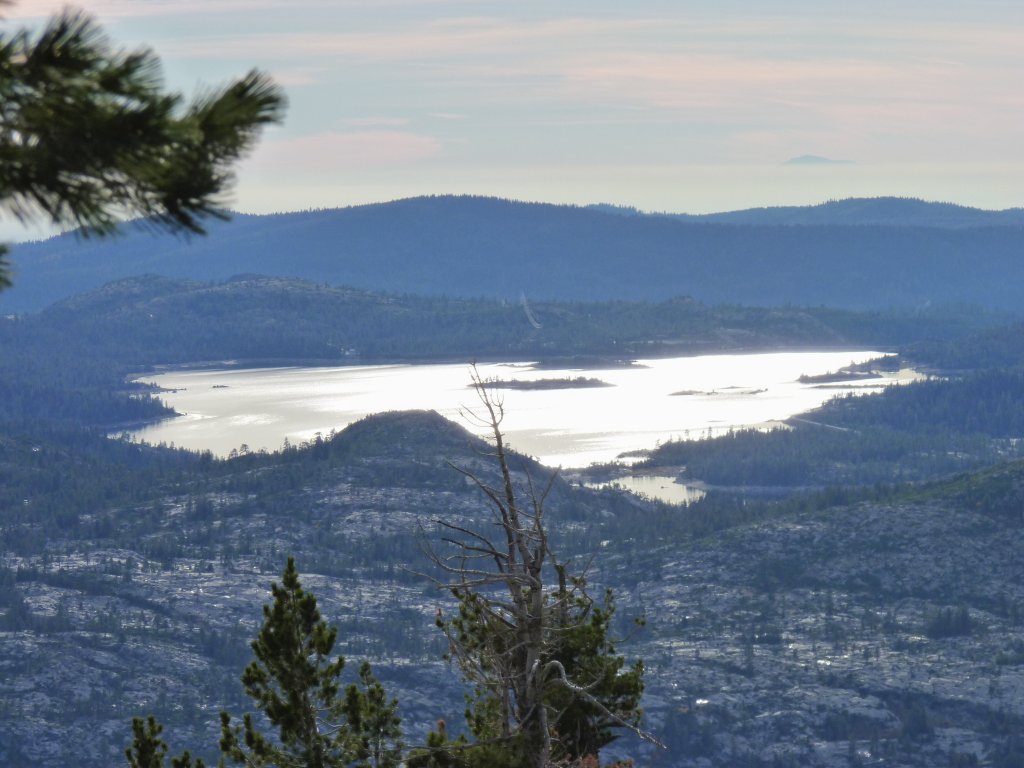
What is that body of water in the distance?
To the southwest I can see a big reservoir. After scouring my brain for
a time, I conclude that it must be Loon Lake, which I had not seen since I went
camping at Wentworth Springs more than fifty years ago. It is part of a
PG&E multi-facility complex that generates hydroelectric power.
Most of the water arrives from Buck Island Reservoir via the Buck-Loon
Tunnel, enabling the entire Rubicon River drainage to be funneled through this
giant system.
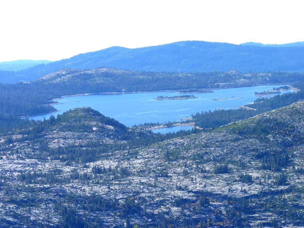
Loon Lake in the Crystal Basin. The center island is 8½ miles away
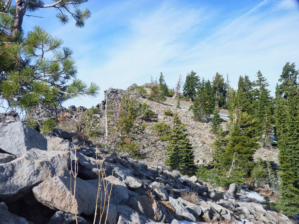
Leaving the ridge top, I descend a fairly steep 400 feet through the forest. Eventually I encounter a metal sign that points left toward Ellis Lake, and right toward Ellis Peak. Following instructions, I head to the right on an old road that is suitable only for motorcycles, if anything. Negotiating the deep ruts on foot is somewhat tedious, and I must pay particular attention to a tender ankle.
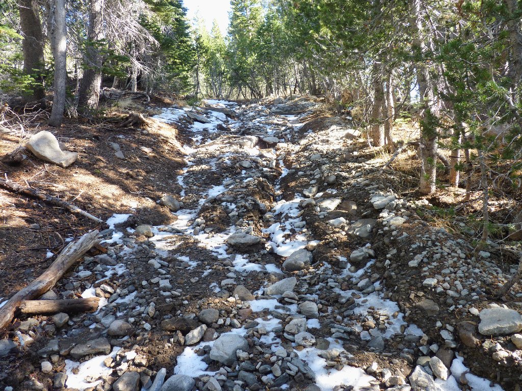
This former road has seen better days
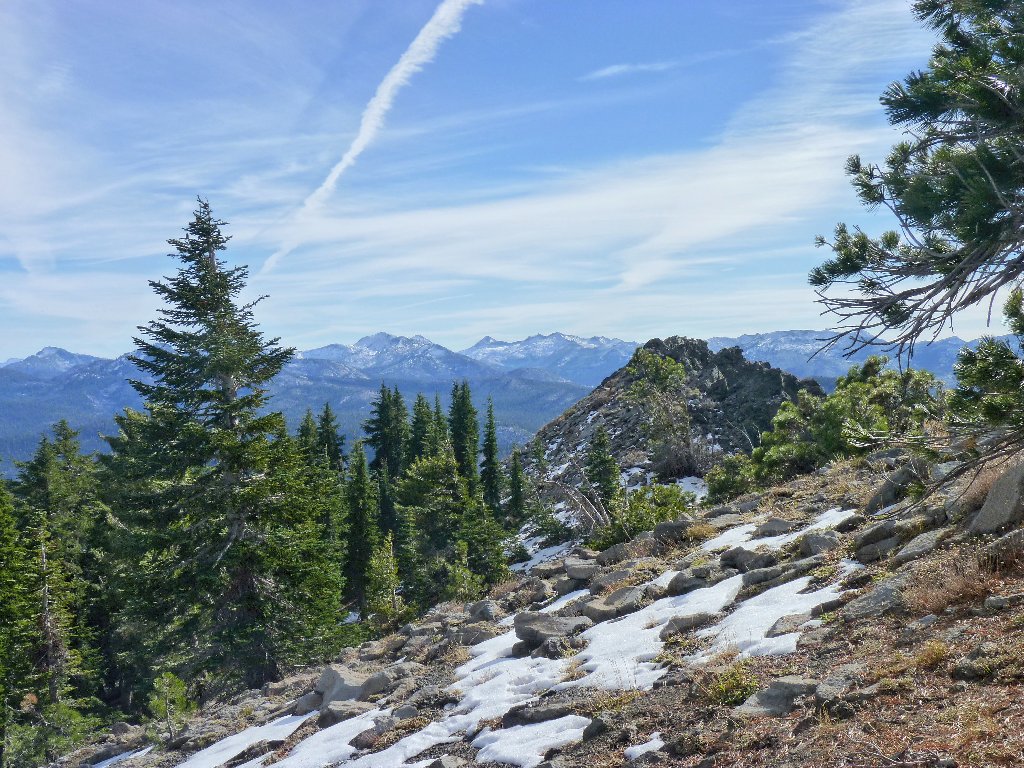
Finally, I get a first peek at a peak, through the trees. At the same time, Lake Tahoe finally comes into view as I continue on the obvious route, straight up toward the high point.
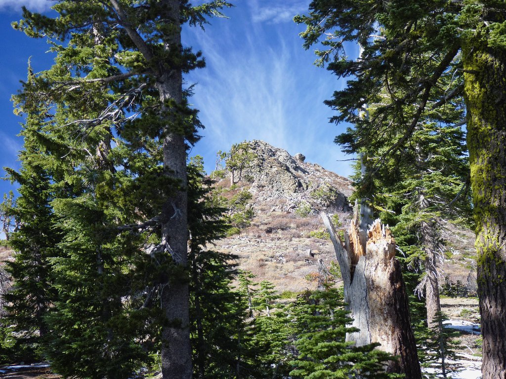
Ellis Peak, I presume
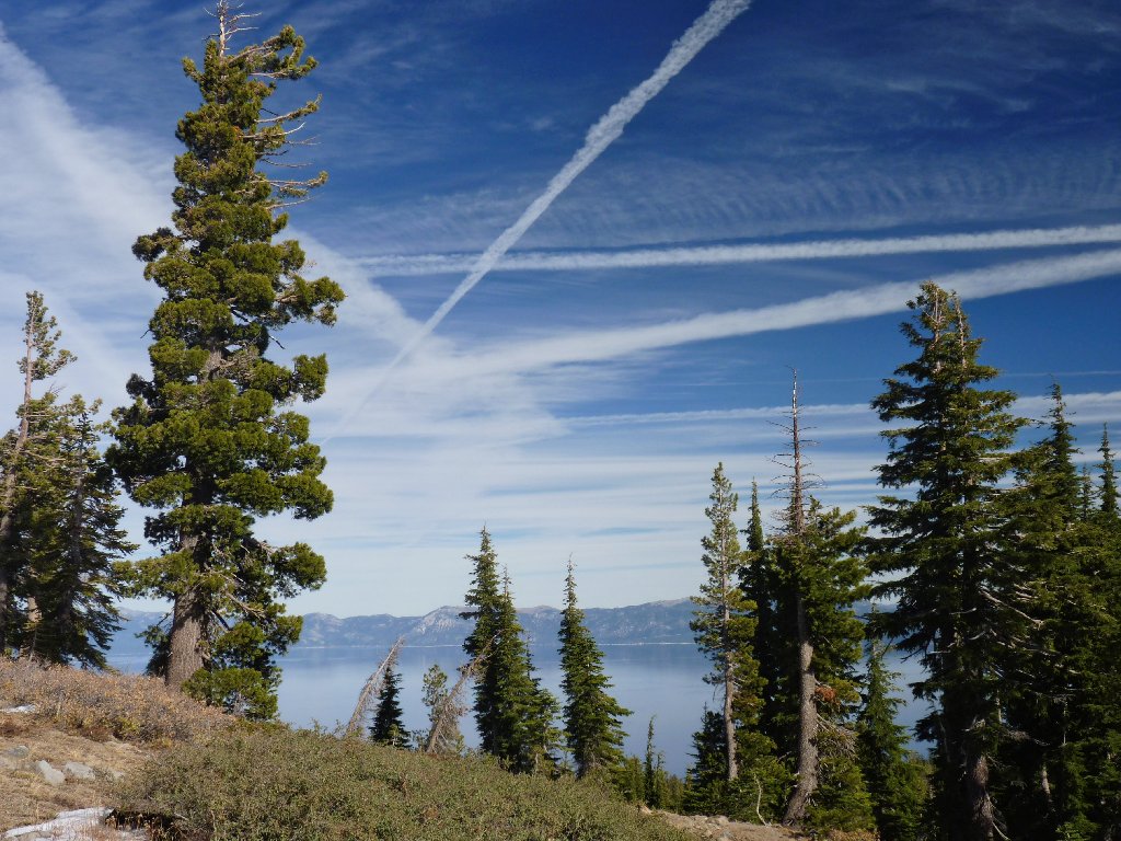
Strange sky over Tahoe
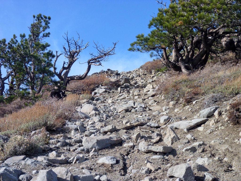
The road goes all the way up
Cave Rock below Genoa Peak, 9150'
Unnatural things are happening above me. Jet plane contrails have
criss-crossed most of the sky. Although they are merely artificial
clouds comprised of exhaust water vapor, contrails can spread and become cirrus
clouds which, according to the latest studies, contribute more to the global-warming
greenhouse effect than all the carbon dioxide ever produced by aviation.
Today's offerings are providing a spectacular show, but not a good-feeling one.
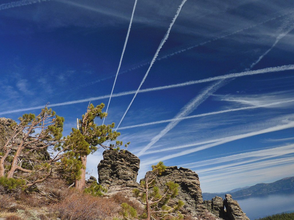
Condensation trails are everywhere
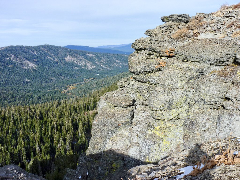
A short Class-3 scramble is required to surmount the apparent summit block.
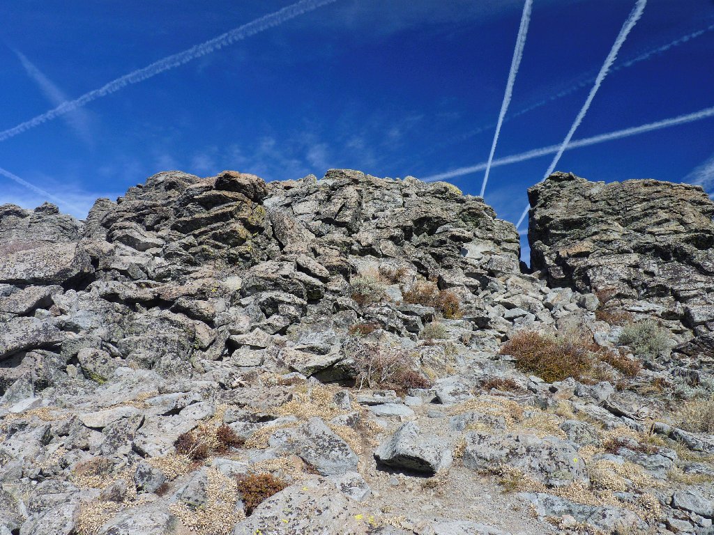
It's almost as if searchlights are pointing the way
To my great surprise, I discover that this is not the area high-point
at all; for now I can see the real Ellis Peak about a thousand feet to the west.
Bummer. Oh well, it takes only ten minutes to scramble over there. Along
the way, I encounter the trail that I was supposed to have been following.
Ellis peak, 8740'
Made it!
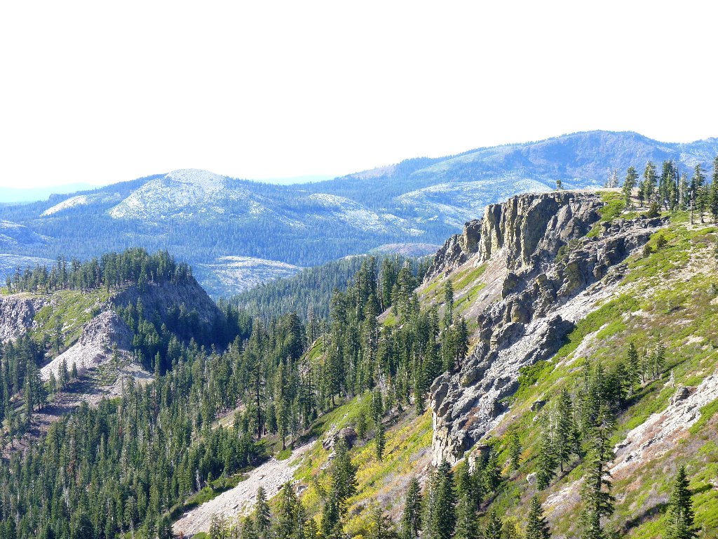
From the summit there is a fine panorama of the surrounding countryside.
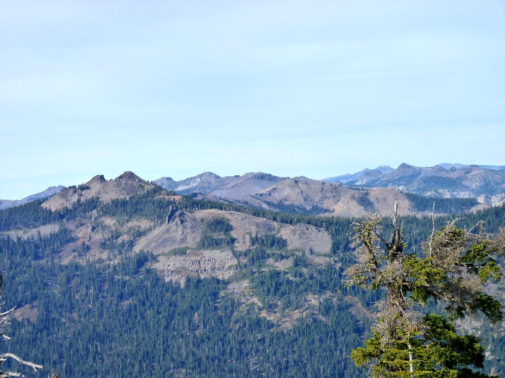
The 3-pronged mountain in the distance is Castle Peak north of Donner Summit
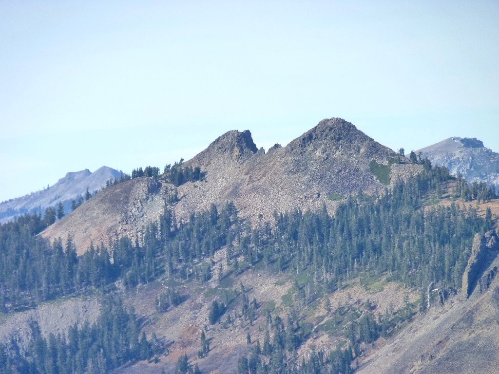
Twin Peaks
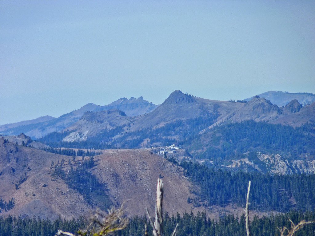
Alpine Meadows ski facility
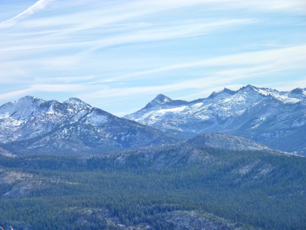
To the south is the heart of Desolation Wilderness
Pyramid Peak, Mount Agassiz, and Mount Price overlook Desolation Valley
I am looking across Big Blue, directly at the Stateline area. Although thousands of people are over there right now, I cannot see a single one!
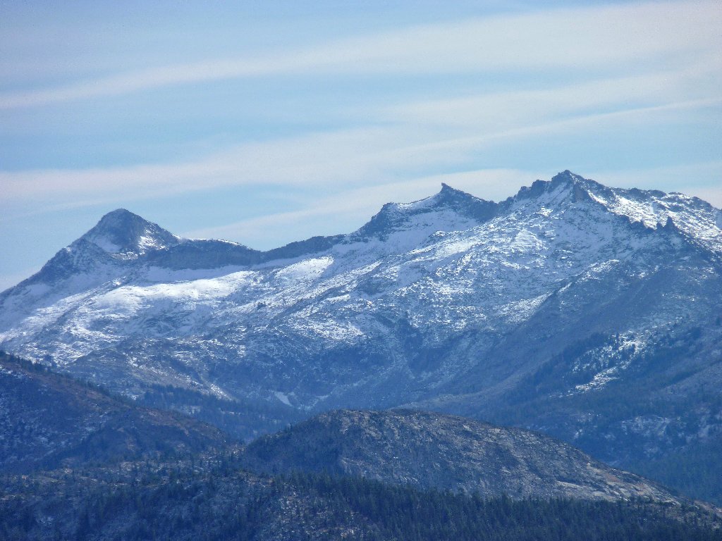
The Carson Range is in front, and Nevada's Pine Nut Range is in back
This is an OGUL peak (look it up if you don't know), so I can add another
notch to my peak-bagger belt. With a fond farewell to this lofty perch,
I start down the trail, bypassing the false summit. At the roadway I look
back, but there is little evidence of a path. It's no wonder that I got off
track here.
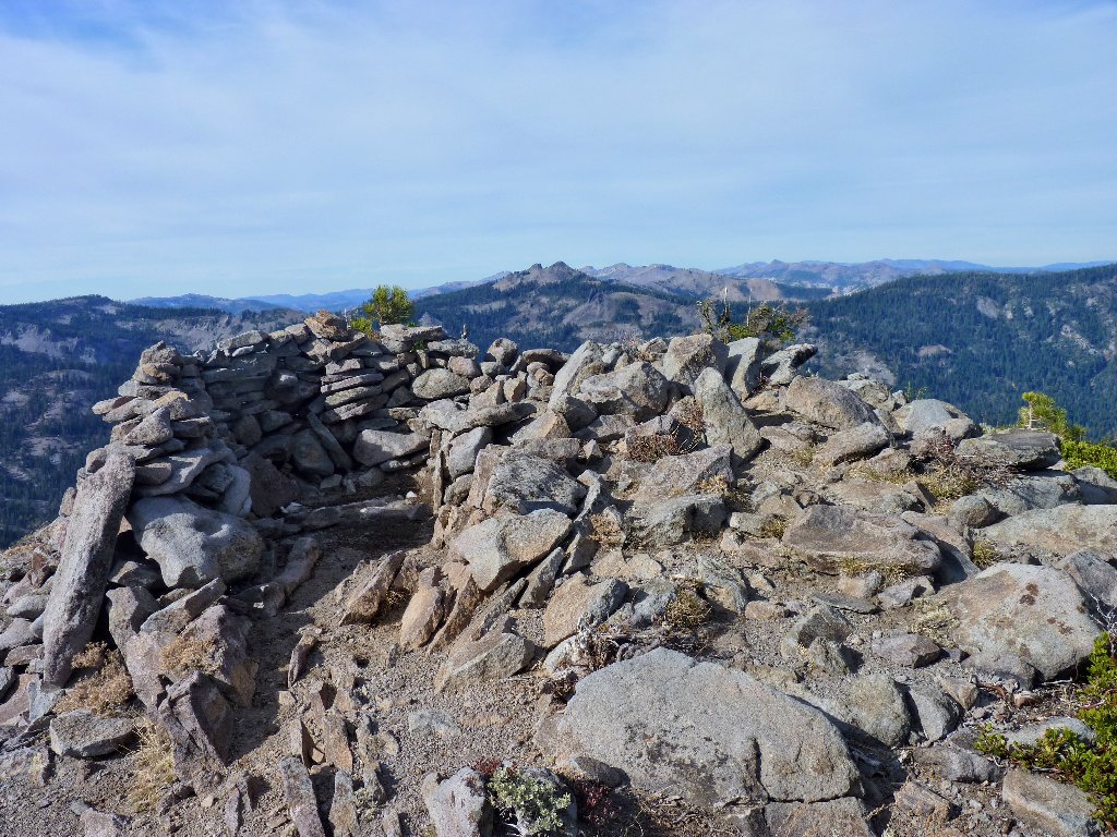
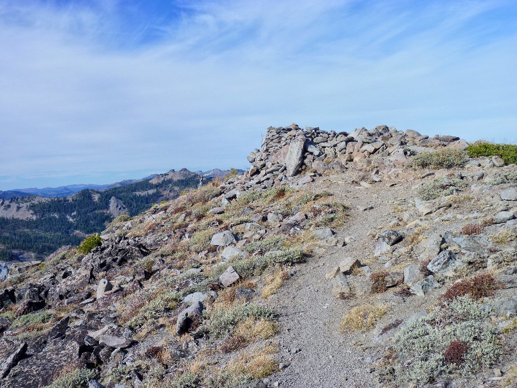
Summit shelter
The false peak will be avoided this time
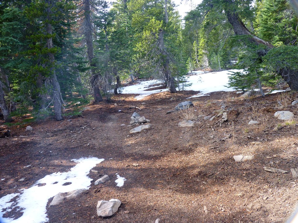
A short way down the bad road, I spot an inviting detour that might enable me to circumvent that horrible rutted section. Within a few minutes, I find myself on a maintained path, replete with old tree blazes and new hikers. This must be the official trail!
Is that little pile of rocks a trail marker?

Footprints! Another adventurer has passed this way
Three young hikers are just ahead of me
After walking a good mile without encountering the signed junction, I realize that it must have been posted for the benefit of ORV drivers, and that it never was intended for hikers. Somehow I had gotten off the walking trail earlier. My confusion increases as I do not find the place where I went astray, and I don't spot the spur trail to Ellis Lake crossing my path. Ah well, at least I am heading in the right direction, and the going is much more pleasant this way.
Interesting lighting on Loon Lake
The lone male in the party of hikers is impatient; he likes to forge ahead,
leaving his female companions to catch up later. I play leap-frog
with the two of them up the 400-foot grade, as we take turns pausing to
rest. Once atop the ridge again, it is all downhill the rest of the way.
That might sound good, but in fact my knees do not like the steepness of the
switchbacks.
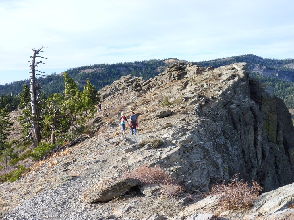
Traversing the cliff-top
§: A 360-degree panorama is worth something in the ratings anytime;
and I did finally locate the real trail, which bypasses the roughest spot that
I encountered. The weatherman erred, for the air temperature remained
in the low fifties; but that was great for hiking.
It so happens that I am not the only serious hiking blogger to climb the false peak by mistake, which is good to know. In any case, scaling that little summit was fun, and I would do it again.
Finally, you might have noticed that many of today's graphics aren't up to
the usual standard, due to a problem with a new camera filter.
In particular, the mountain scenes are off-color and lacking in
contrast. I did the best I could with them in the lab.
| Scenery |  |
| Difficulty | |
| Personality |  |
| Adventure |  |
| Solitude | |
