
Yosemite NP
|
Mount Watkins Yosemite NP |
September 22, 2010
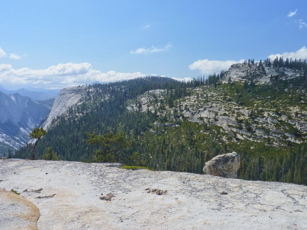
After a four-hour drive from home, I reach the Olmsted Point trailhead at
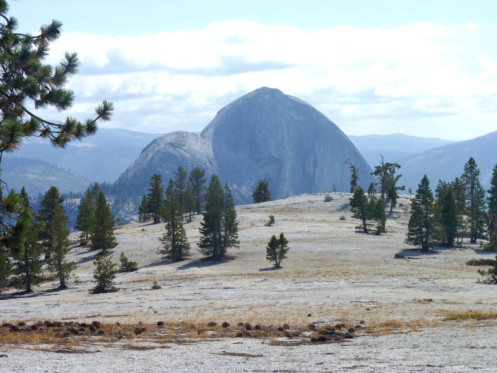
11 a.m. This popular tourist stop offers a splendid vista of Tenaya
Canyon and Half Dome. Lots of clouds are out and the temperature is about
50 degrees, so I don a sweatshirt.
A trail leads from here down past Snow Creek Falls to Yosemite Valley. The plan is to go part of the way, then veer cross-county to a high point that should provide even more spectacular views of the local attractions.
Within a few minutes I seem already to have lost the main trail, by following a series of boot prints that lead straight down into Tenaya Canyon.
The main trail must have skirted the top of the cliff
I press onward anyway, ambling along the granite slabs, hoping to get back
on track eventually. Besides, there is an off-trail lake up here
somewhere that I would like to check out.
As long as the going is easy, I am game
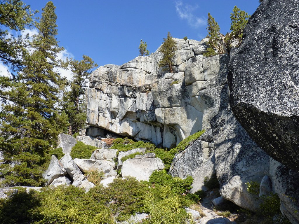
Suddenly the slabs dead-end at a little cliff, compelling me to backtrack a bit. Shortly after that, southward progress is stymied completely.
In retrospect, I should have climbed up instead of down
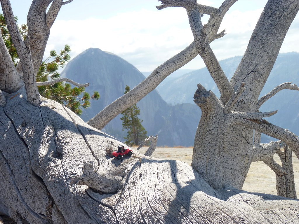
A nice vista is all that I will enjoy from here.
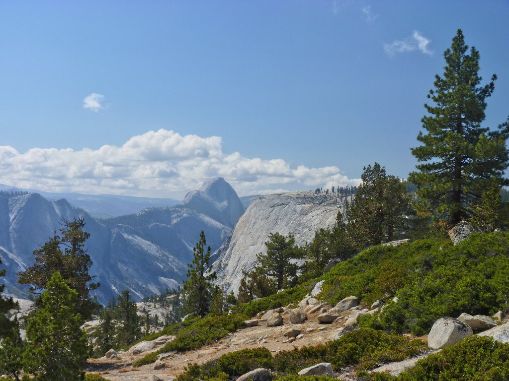
Half Dome looms in the distance
My GPS says that Hidden Lake is directly to the west, on the other side of
a manzanita-laden hillside. Bummer. Being short on options,
I cinch up my pack straps, zip all pockets, and bushwhack directly up the
hill for a few hundred feet.
Looking up, then down. Why do I do these things to myself?
At the top, I look down, and lo and behold, a lake appears! I am pleased finally to have incurred a measure of success on this venture. After taking a few pictures, it is time to find a real trail and get on with the mission.
Hidden Lake, with Mount Hoffman in the background
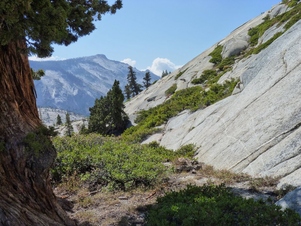
Getting back on track is easier said than done, however. Heading
downward in a dry wash, I soon learn my fate. I can see the trail right
over there — across a deep canyon, that is. I manage to
avoid additional bushwhacking by descending nearly 500 feet on rock slabs.
More climbing on the other side eventually accesses the trail. Hooray!
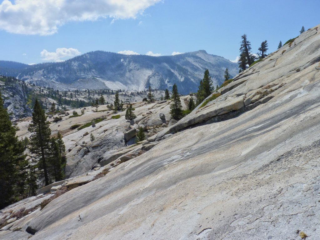
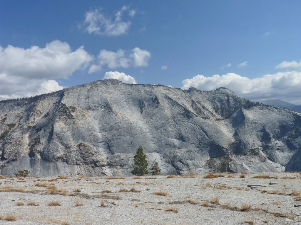
The trail is above the rocks on the right. The summit of
Mount Watkins is directly in the center of the photo
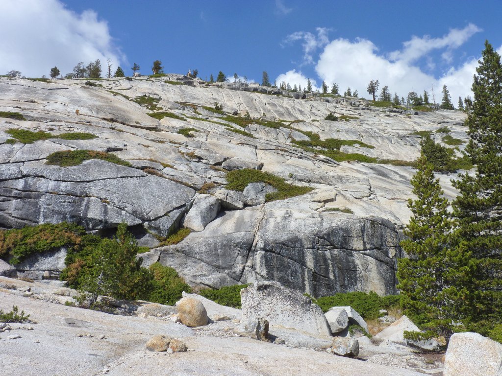
By scurrying up the path, I reach a saddle in short order. My GPS says that this is a good place to head off toward Mount Watkins; surely enough, a big cairn and multiple bootprints appear within a hundred feet of my arbitrary waypoint.
The remainder of the ascent is so easy that no trail is needed. Within a few minutes, I encounter a group of several dozen aged hikers. The last person in the bunch, probably the leader, stops to greet me and says that they are all from the same retirement community in Arizona. He also predicts that I will have the summit to myself. That forecast proves accurate, for I would not meet another hiker today.
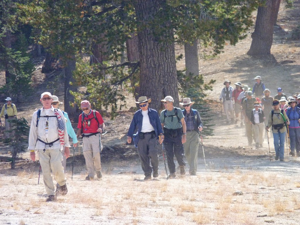
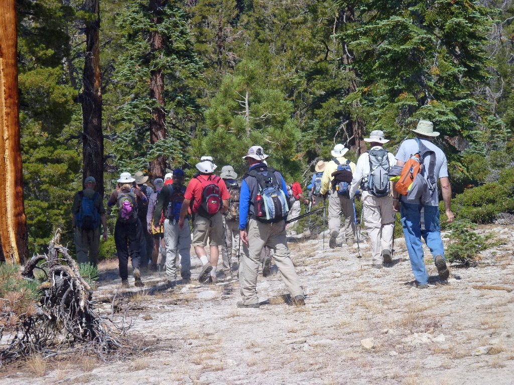
The Sun City Hikers
As I approach the top, Half Dome starts to 'rise' above the horizon. This scenario reminds me of a scene in the movie Close Encounters of the Third Kind, when Richard Dreyfuss and Melinda Dillon climb the roadside embankment to view Devils Tower up close for the first time.
This is exciting
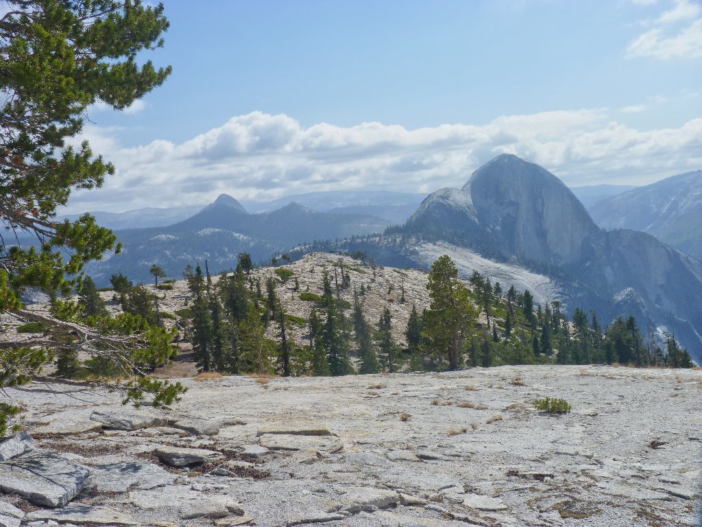
This is the flattest mountain top I ever have seen; one could put a small
town up here. Finally, the hoped-for vista does materialize.
Half Dome, 8839', from the summit of Mount Watkins, 8501'
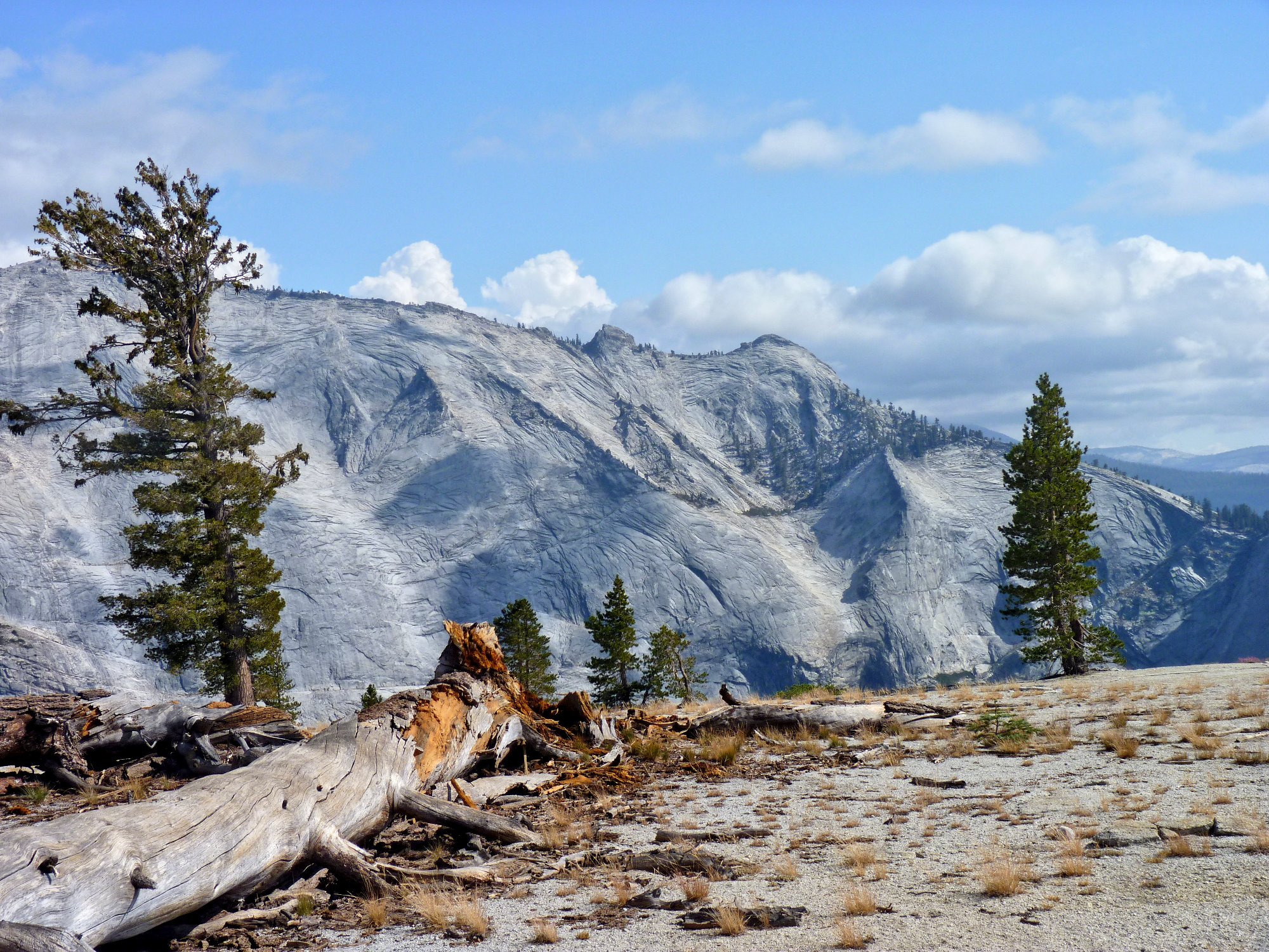
Directly across from me is the east wall of Tenaya Canyon, which just happens
to be the world's biggest expanse of exposed granite. Although they are not
visible in this photo, I can just make out a pair of hikers at the summit of
Clouds Rest. (That's the high point with the little cloud resting upon
it.) I ventured over there myself back in 1977 with my spouse and baby
brother. Negotiating the three-foot-wide path across the top,
with a heavy backpack in a stiff breeze, and with humongous dropoffs on both
sides, was a hair-raising experience.
At left-center is Clouds Rest, 9931'
I continue southward past the summit for nearly another half-mile
in order to improve the view. It is possible to proceed even farther
on easy slabs, right down to the edge of the canyon. Being already
somewhat bone-weary from my assault of the manzanita slope, however,
I decide to terminate my descent about a hundred feet below the summit.
Removing my boots, I munch some gorp and try to get some close-ups of the
hikers on Half Dome. Unfortunately, I do not have a tripod handy, and the
lighting is horrid. I fear that I am not taking any world-class
photos at this time; but I can see quite a few adventurous souls over there,
and I can even make out the cable assembly itself.
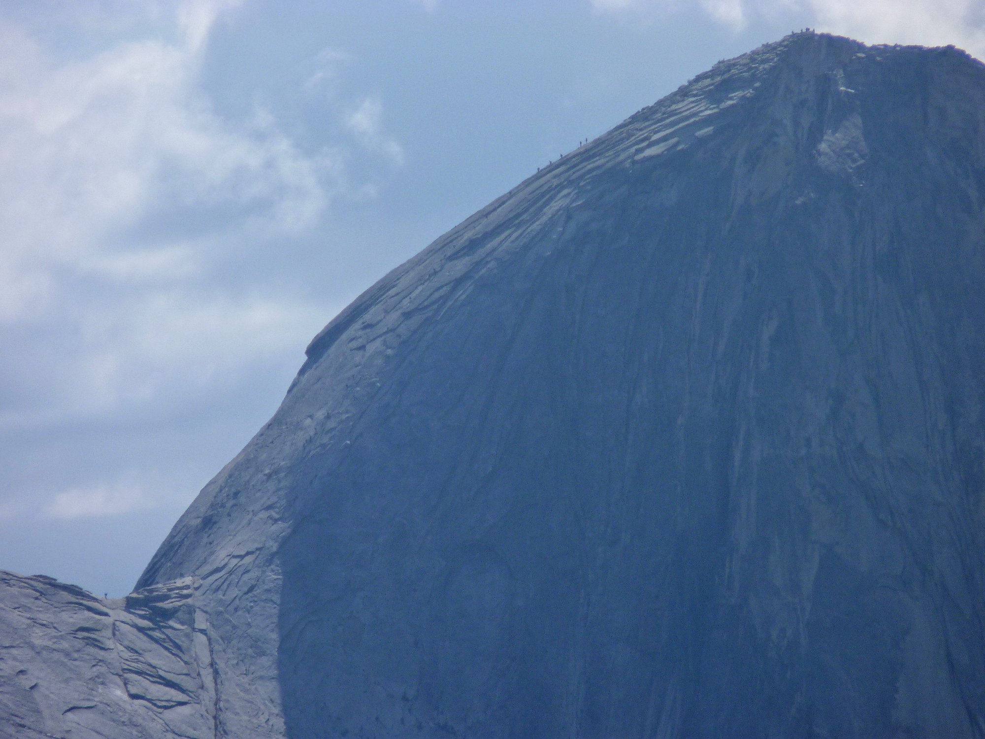
Climbers on Half Dome ⇔
The angle of ascent on the upper stretch of the cable route is only about
30°; but it is substantially greater near the bottom of the climb.
I envy those folk. We tried hard to get permits for a three-day
trek over there this season, but it didn't work out. Perhaps next year.
In the distance is Mount Starr King, 9091'
This is not Half Dome's most photogenic angle
Later on, the sun will be better placed for photographs; but I am just tired enough not to hang around much longer. When I finally depart the mountain, the lighting already is improving:
My best photo of the day ⇔
Despite my earlier up-and-down antics, the summit of Mount Watkins is about the same elevation as Olmsted Point. Perhaps the return won't be such a workout after all; in any case, most of the trail will be new to me.
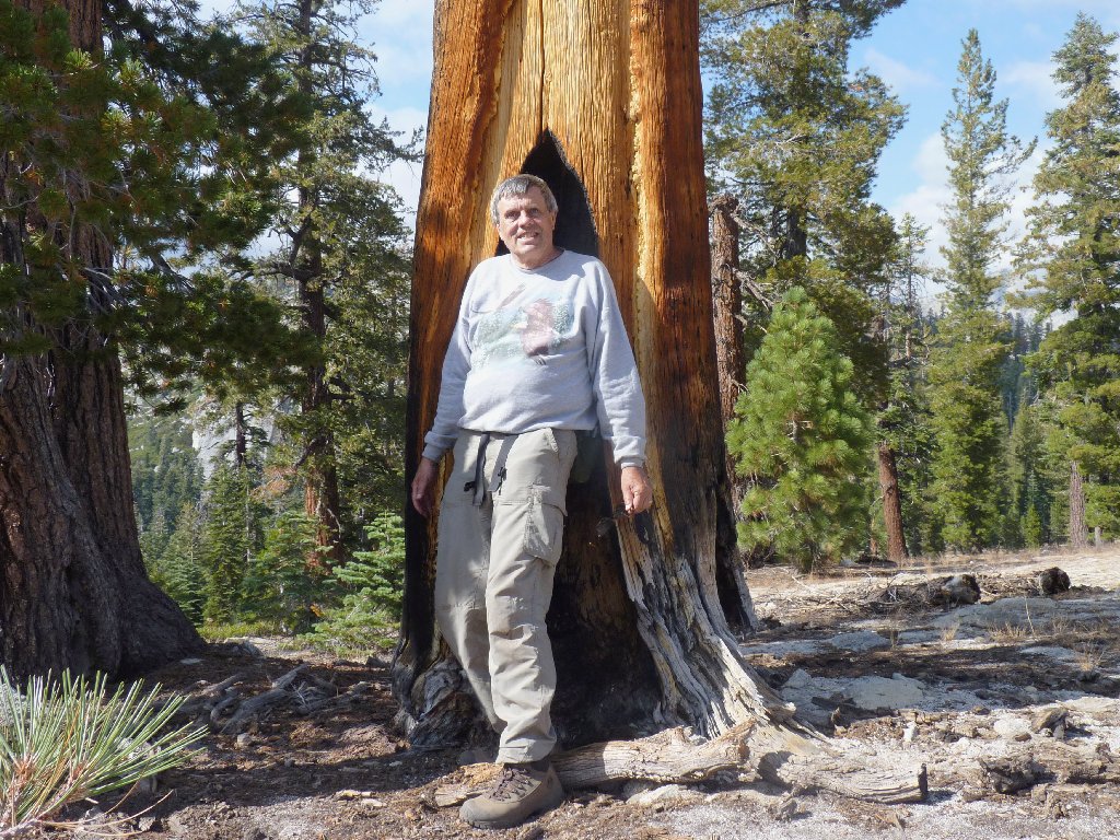
I don't know what that expression signifies
Cathedral Peak is scraping the clouds
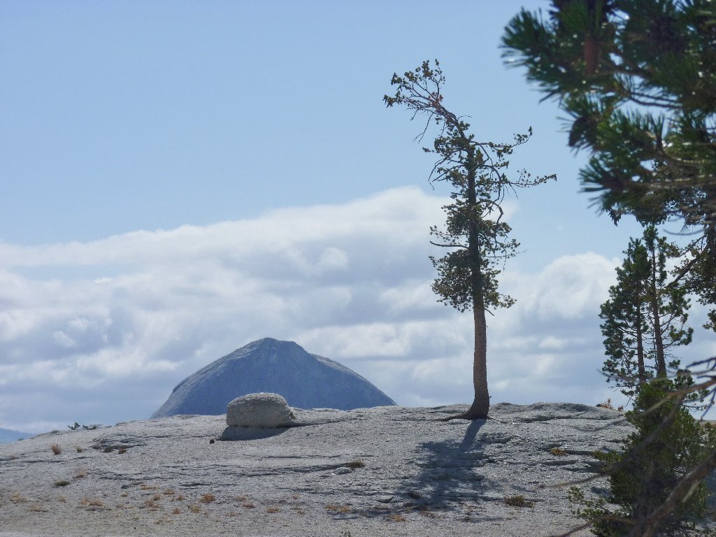
Already I can see the highway cutting across the distant cliff; and I get a good look at the hill that I had scaled in order to say hello to Hidden Lake, which lies right at the top.
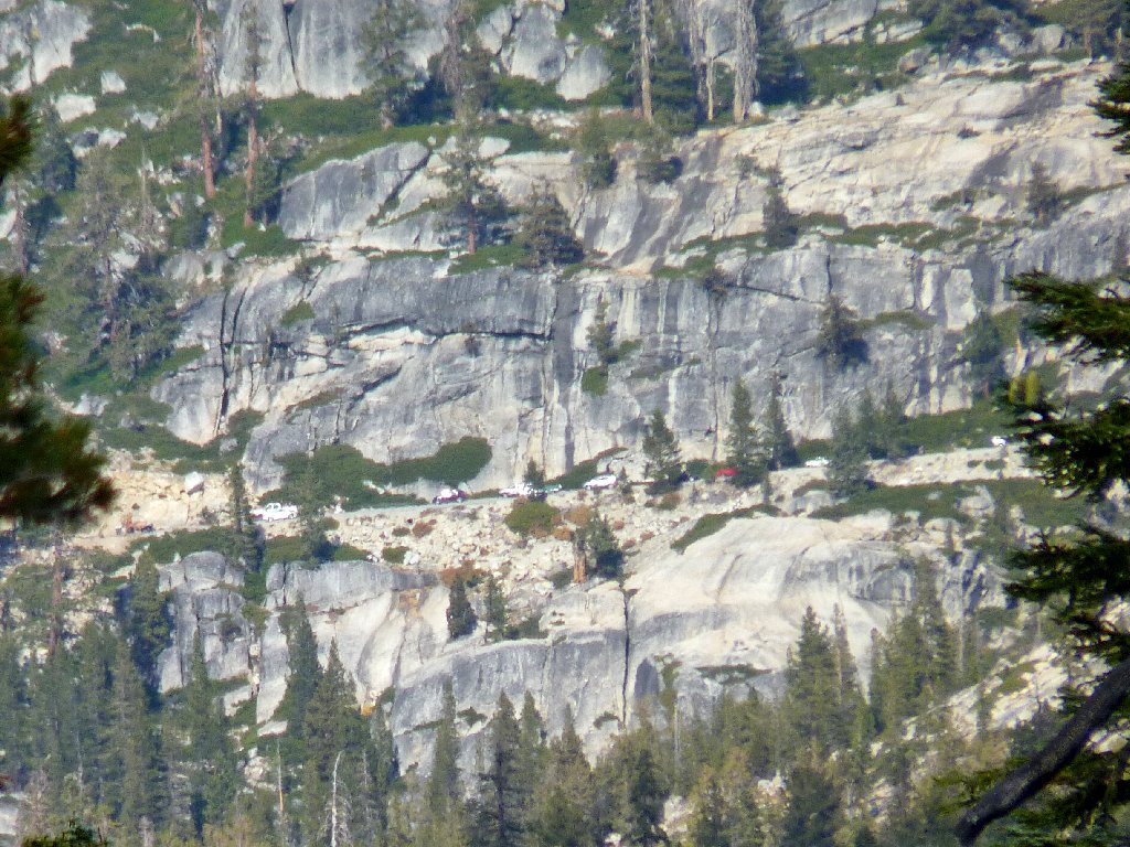
Telephoto view of Highway-120
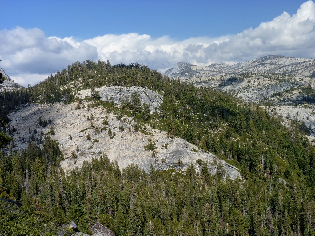
The Hidden Lake Slabs
Mount Hoffman, 10856', is on my bucket list
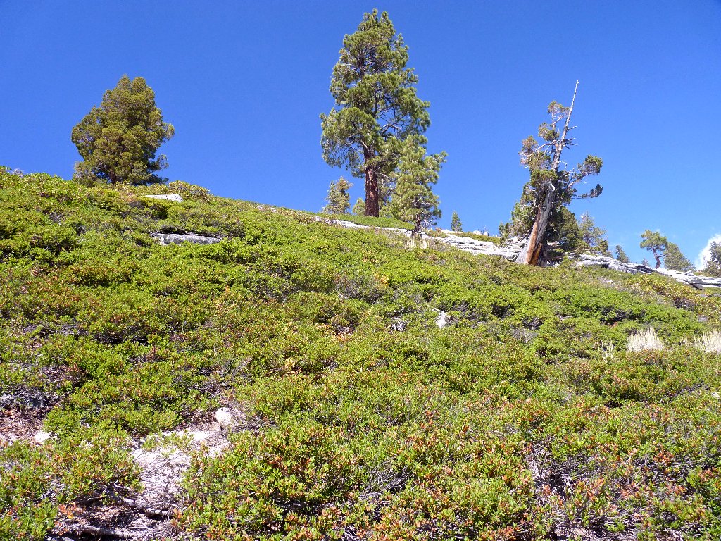
The trail becomes unexpectedly verdant; up to now, I had seen no evidence of moisture except in the clouds. A few late bloomers and even some ferns line the trail.
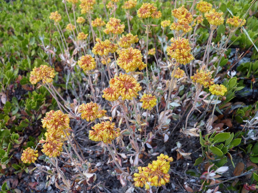
Buckwheat
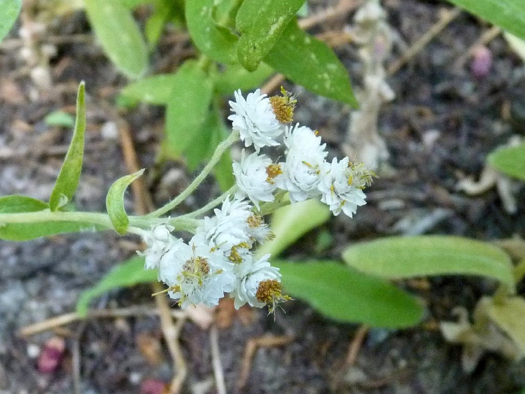
Pearly Everlasting
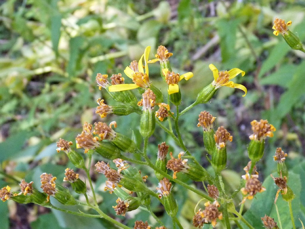
Arrowleaf Groundsel
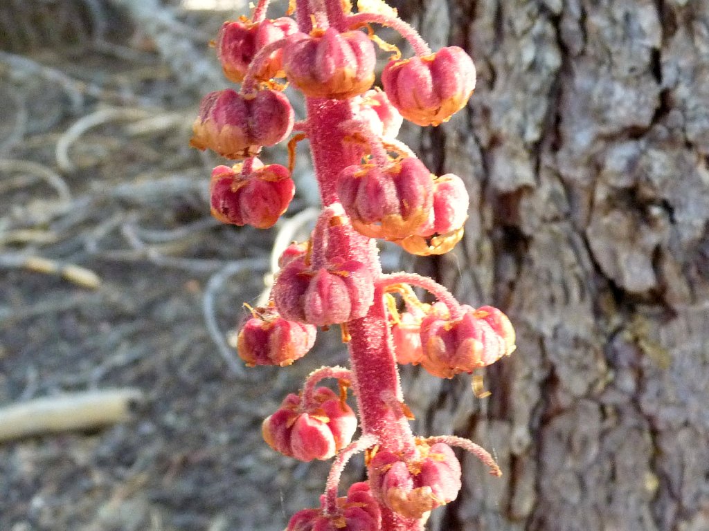
Pinedrops
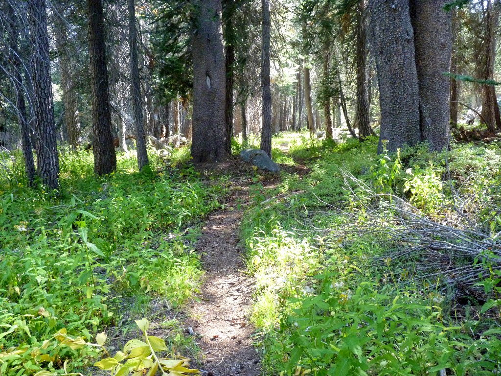
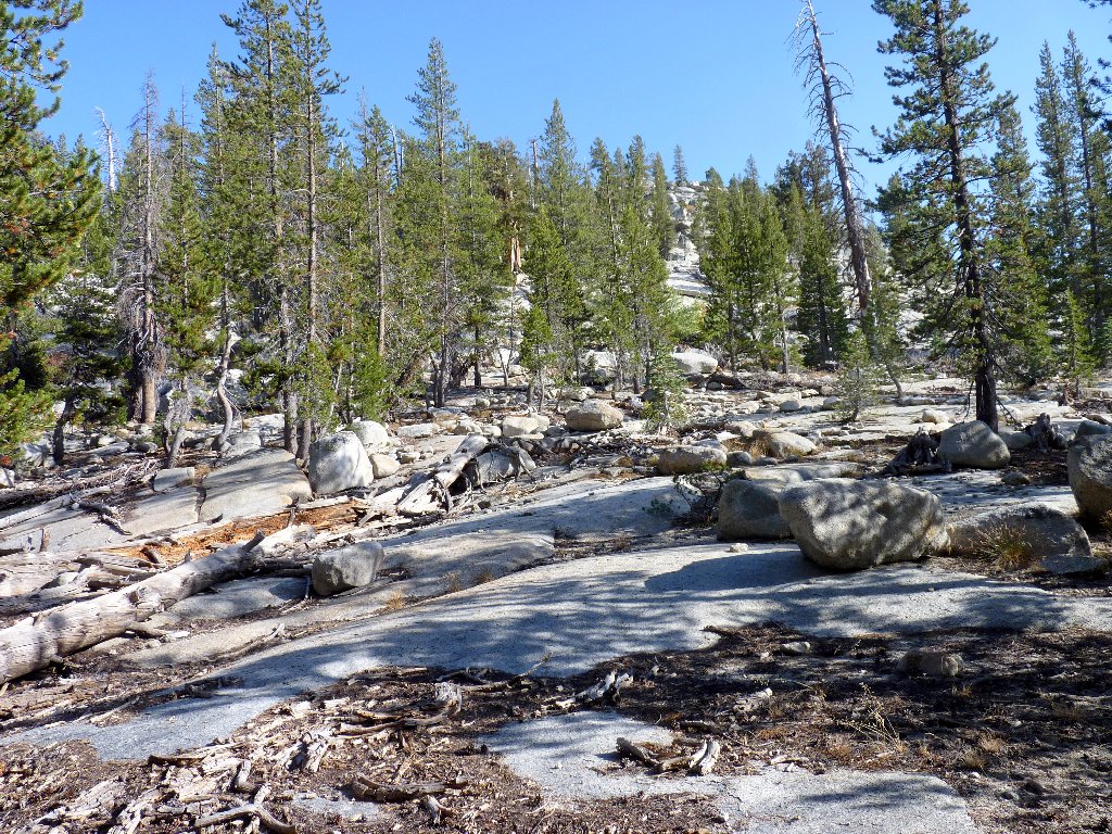
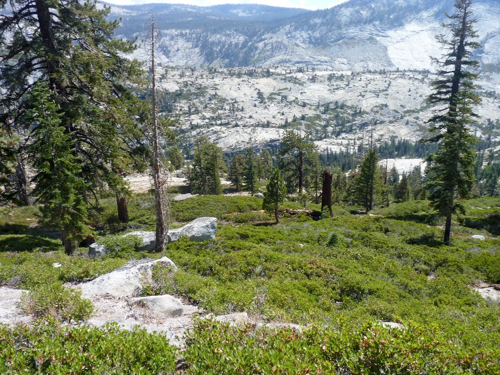
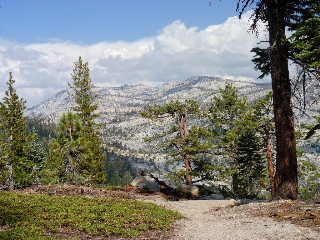
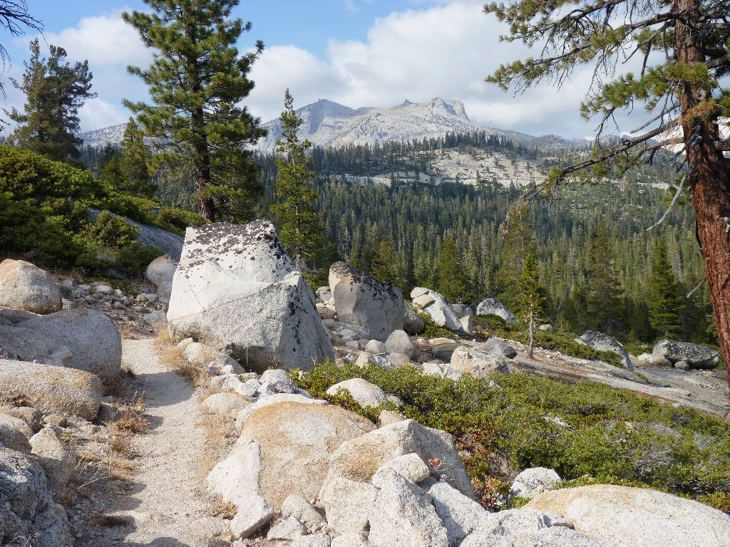
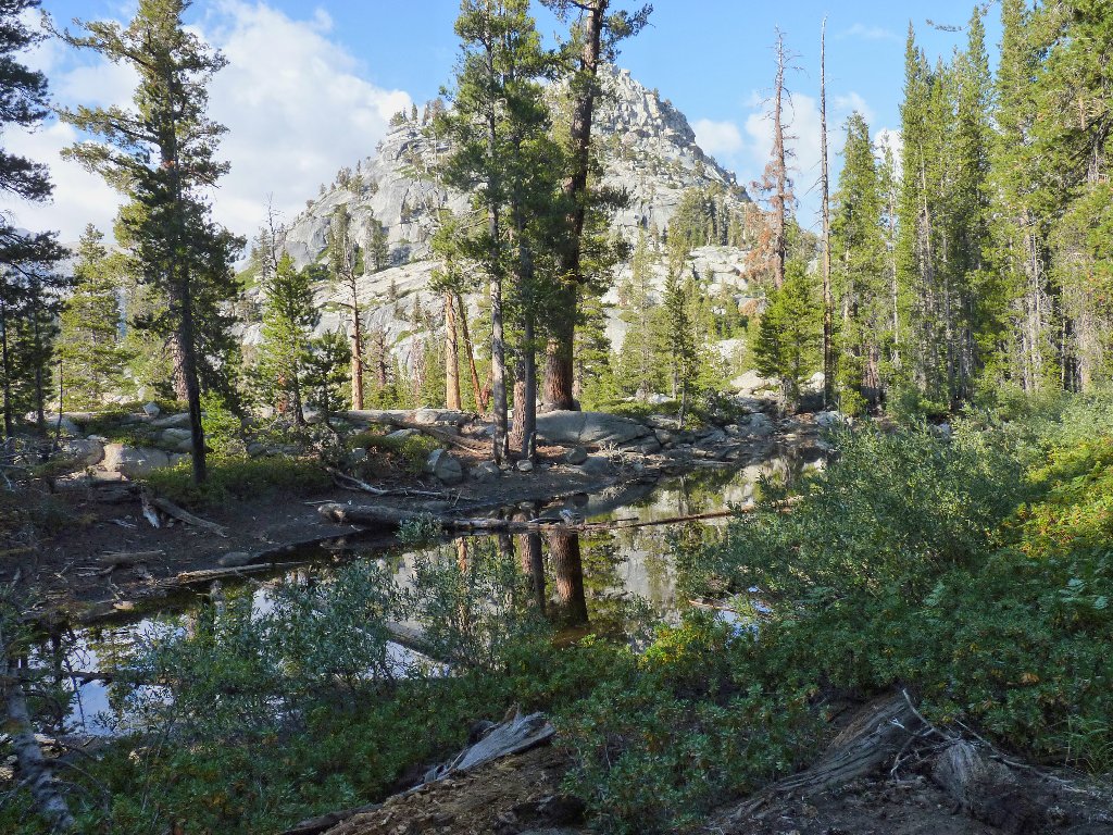
The terrain varies through here
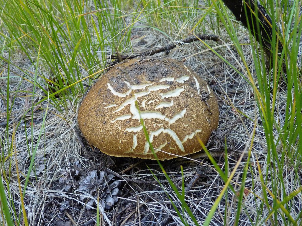
Is this a Hard-Skinned Puffball, or a spaceship from Predator 2 ?
I seem to have science fiction on the brain. Perhaps it's due to the
time-warp I am experiencing. I keep on walking toward the road,
but I don't seem to be getting any closer. It so happens that the trail
approaches the highway, then leaves it again. The next time the route
gets close to the road, I weary of the game and veer over to the pavement,
traversing the last quarter of a mile on asphalt. This saves both time
and energy.
Nearing the trailhead
§: The hike to Mount Watkins is pretty easy, provided that one stays on
the trail. The views are exceptional, especially those of Clouds Rest and the
4,000-foot wall of Tenaya Canyon.
I cannot recommend my circuitous route to Hidden Lake. Easier access is
available from a point directly to the north, but that side trip is hardly worth
the effort unless you're a lake-bagger like me.
For the best photographs, try to plan your visit for later afternoon. Hiking here earlier in the season would make it easier to get off the trail before dark. Also, at that time there should be good views of Pywiack Cascade and some other falls before they dry up.
It has taken two days for certain thigh muscles to recover from that steep downhill on the granite slabs, yet already I am anxious to return. There is unfinished business in Tenaya Canyon.
| Scenery |  |
| Difficulty |  |
| Personality |  |
| Adventure |  |
| Solitude | |
