
Hoover Wilderness
|
Virginia Lakes Basin Hoover Wilderness |
September 16, 2010
Having awakened this morning in distant Lone Pine, the plan was to hike up to Kearsarge Pass for some outstanding views; but a wildfire in Kern County killed the attractiveness of that idea by sending tons of smoke everywhere. Yesterday I couldn't even see the mountains from the highway, so I have canceled tonight's lodging and driven 150 miles up here to find some cleaner air.
For the majority of my 50-year hiking career, these Virginia Lakes lay less
than a three-hour drive from home; yet I never had done any walking
here. Go figure.
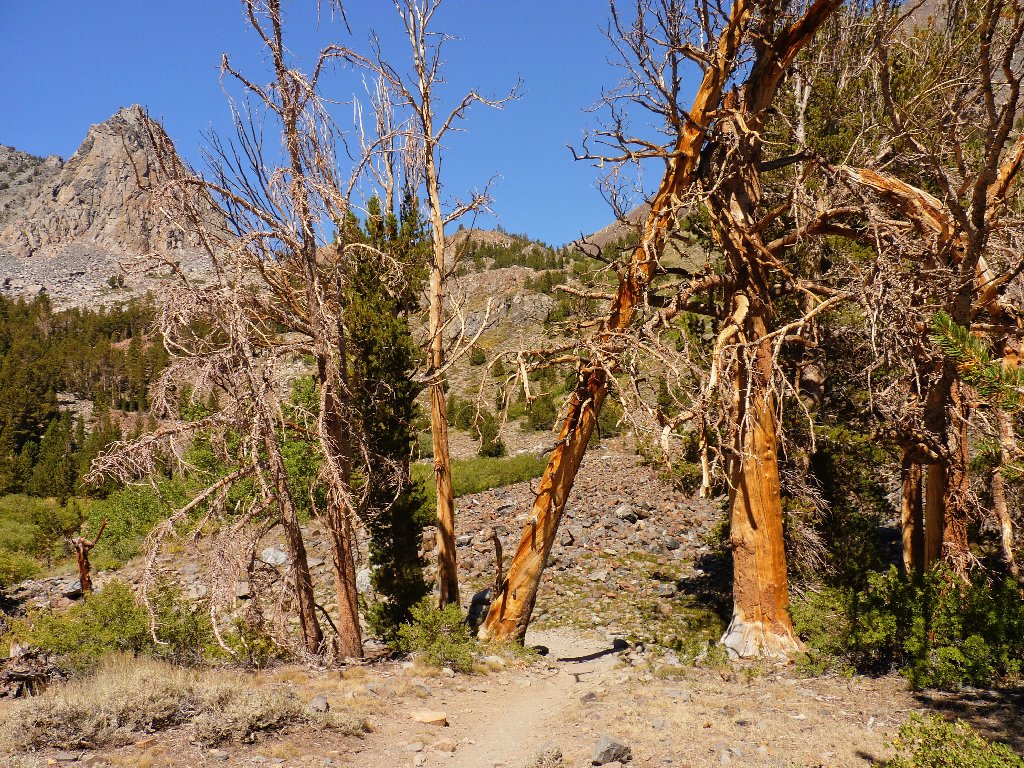
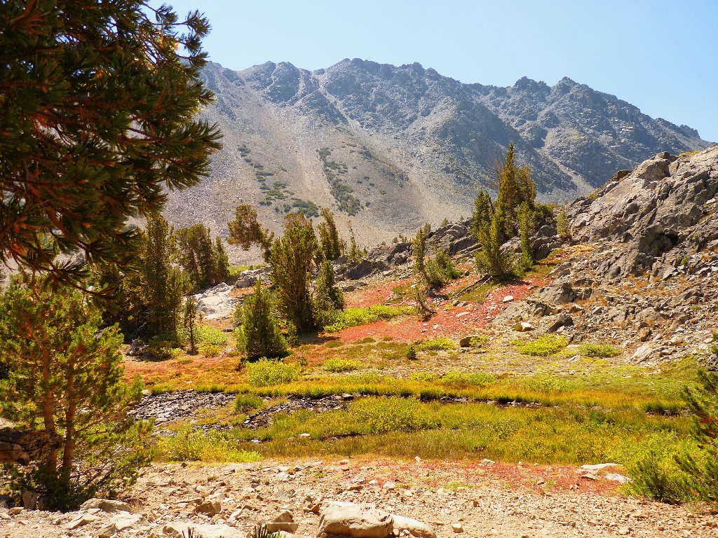
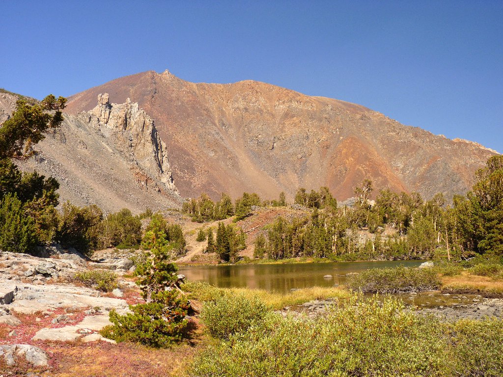
It is warm and calm at the trailhead overlooking Big Virginia Lake, where fishers are busily unloading boats and paraphernalia. After applying some sunscreen, I set off up the trail. Details of the route remain hidden around the corner of the nearest hill.
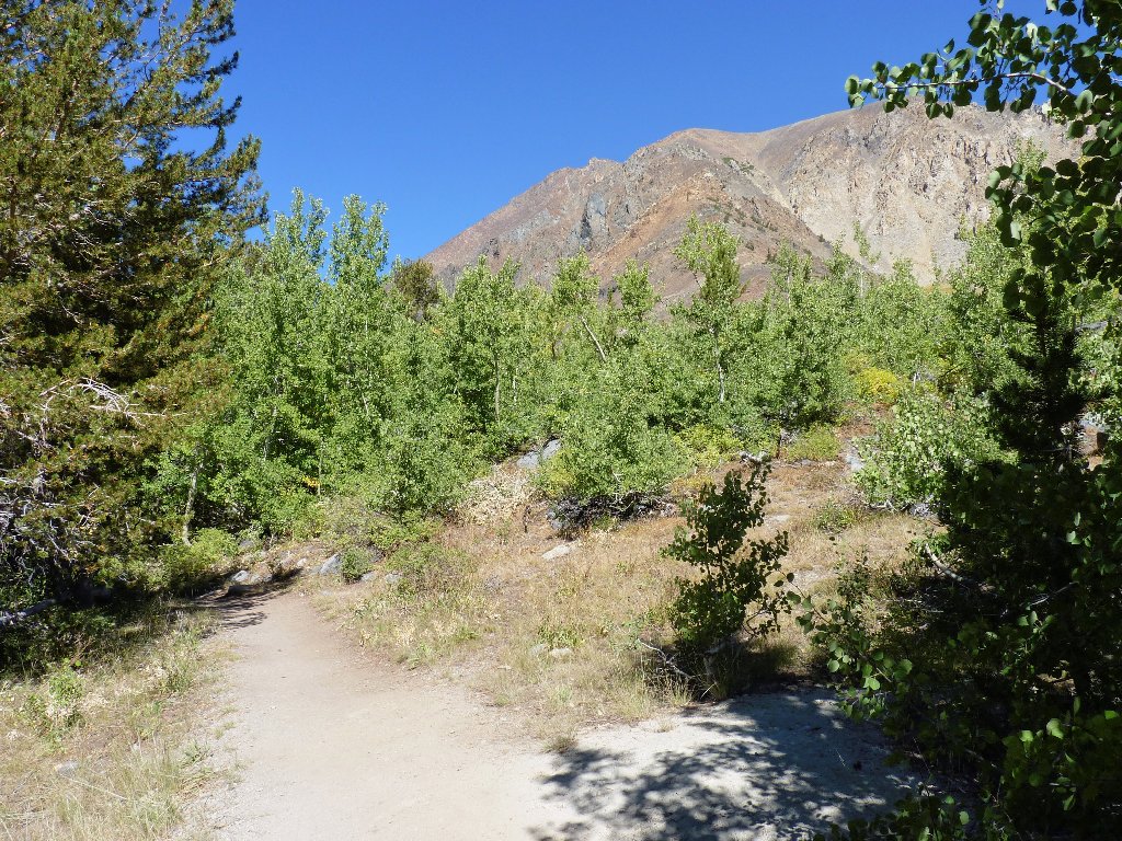
Starting out
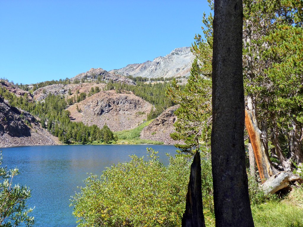
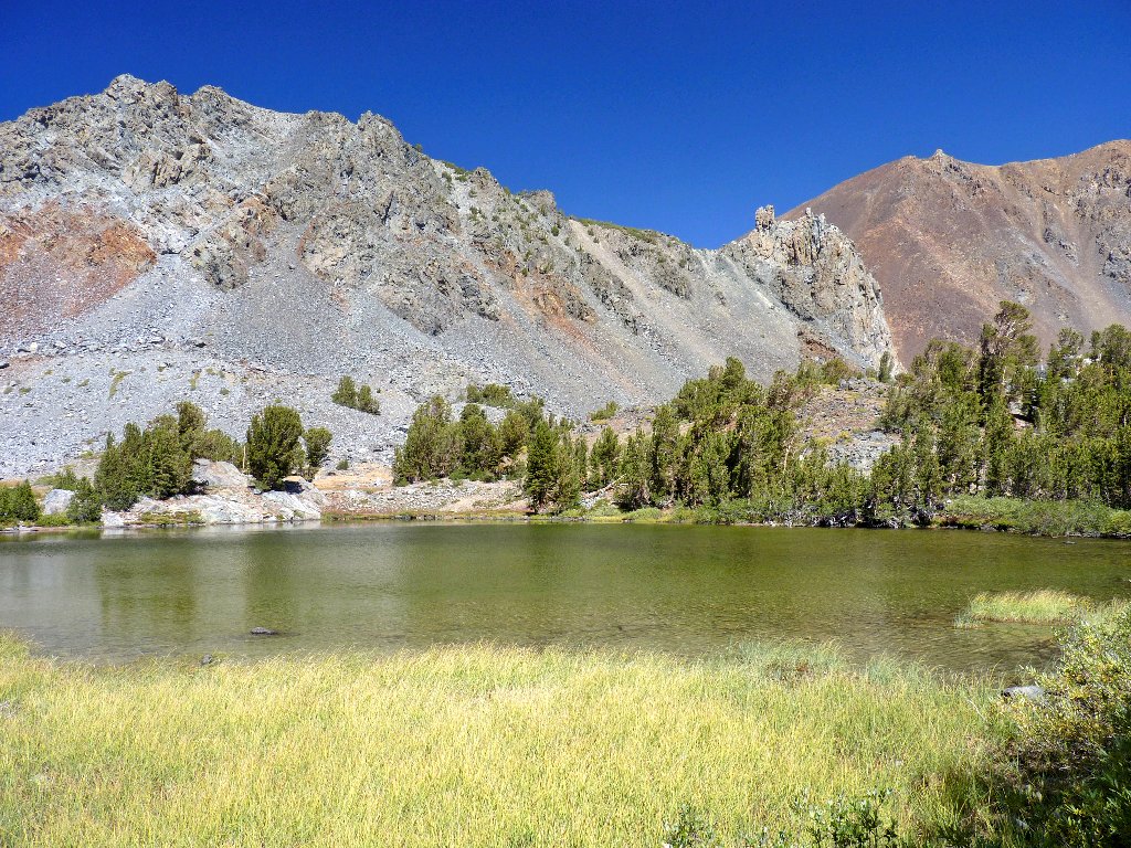
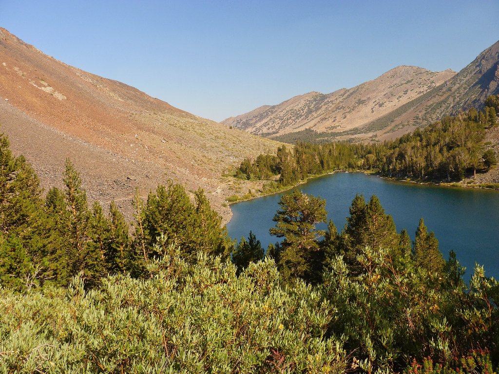
Blue Lake
Blue Lake is not so blue at this end
Upon overtaking a group of resort employees ambling up the path, I am told that the climb to the pass is difficult and that there will be high winds. Despite the warning, I cannot envision this outing as being particularly strenuous; yet it is satisfying to hear a younger person suggesting it.
I also speak with hiker Stan, who mentions that he is going over to the hot springs after his walk. That sounds like a good plan.
The route ahead
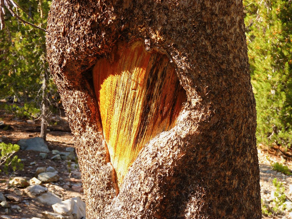
Tunnel tree
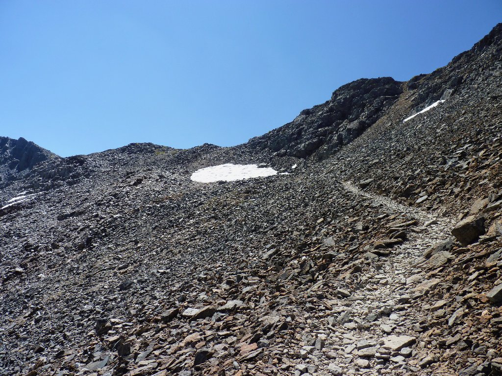
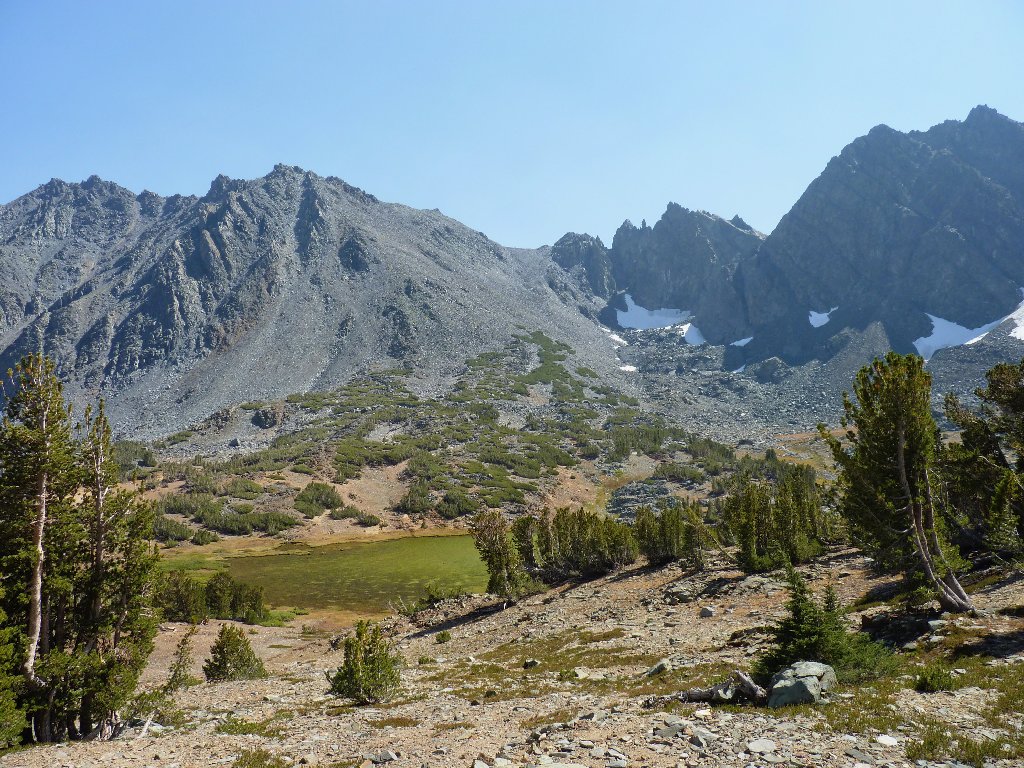
An old miner's cabin is propped up on two sides to keep it from falling over. It looks as if it might not last much longer. Behind Cooney Lake the pass area comes into view. The actual route must be up there near that trio of snow patches.
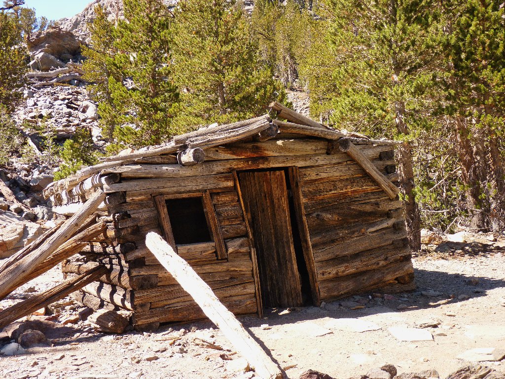
Miner's cabin
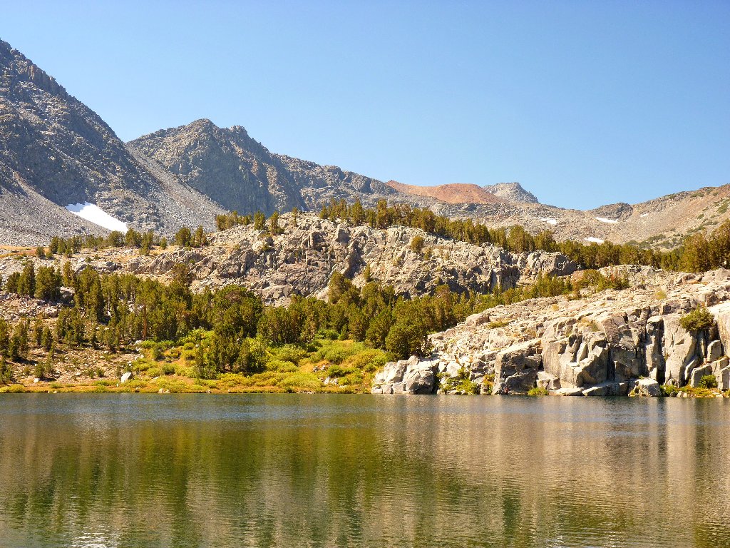
Cooney Lake
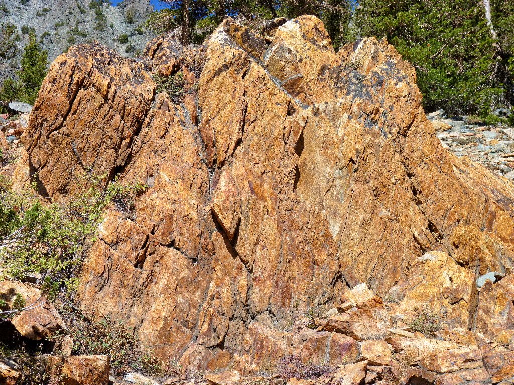
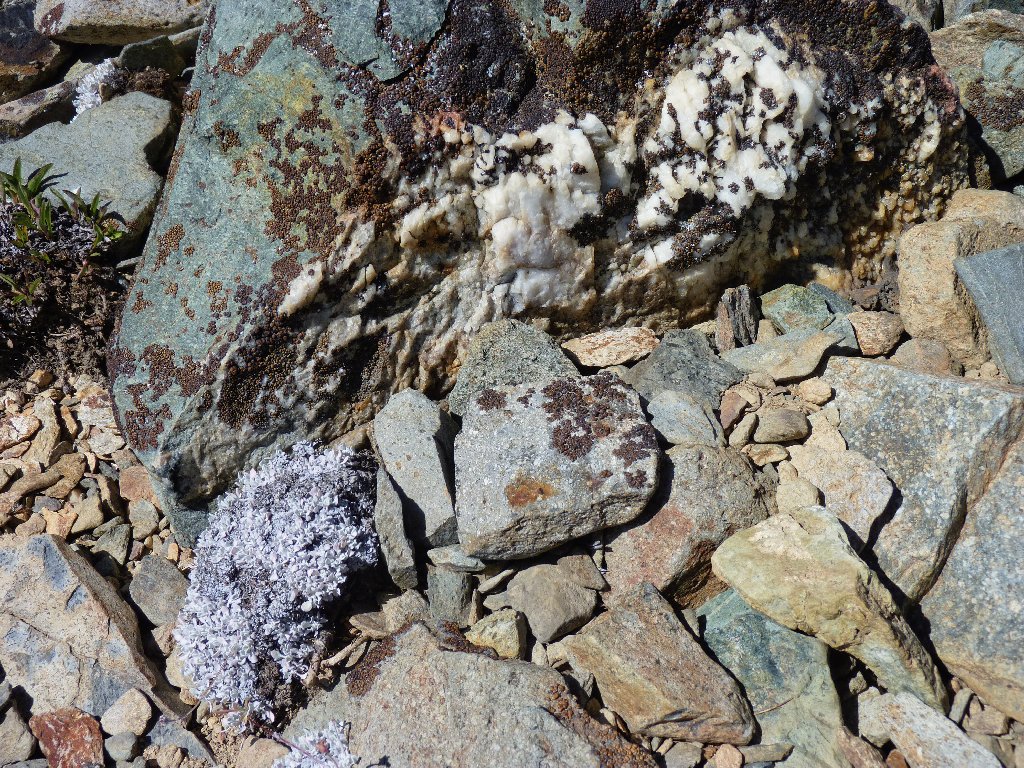
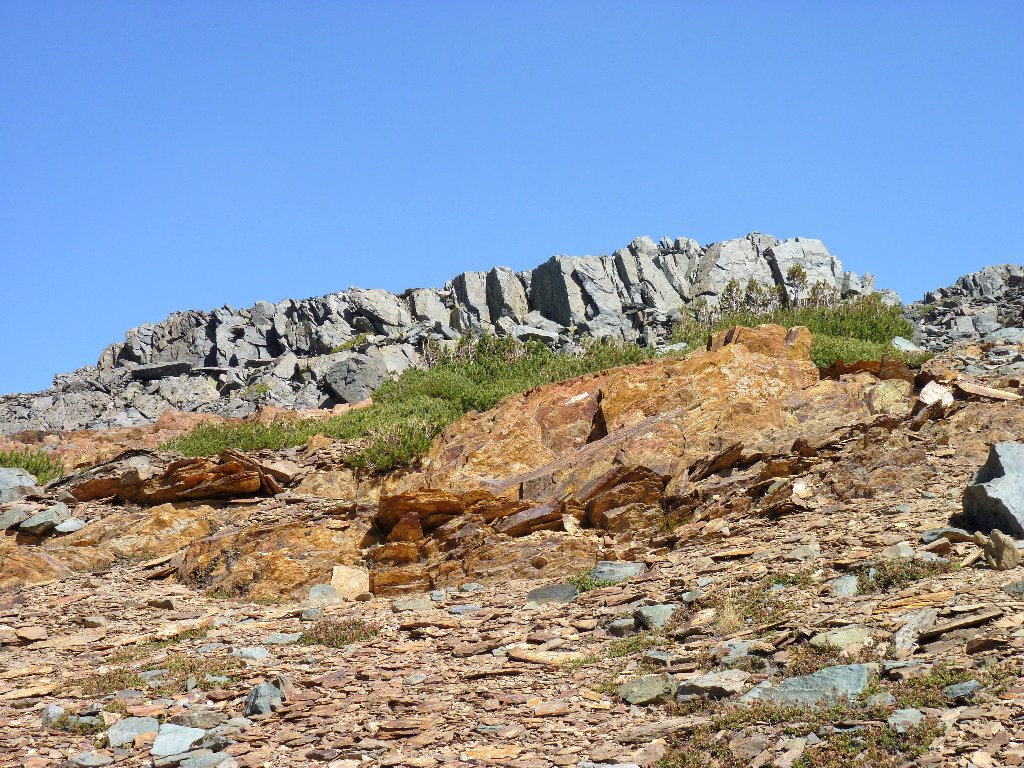
Nice rocks
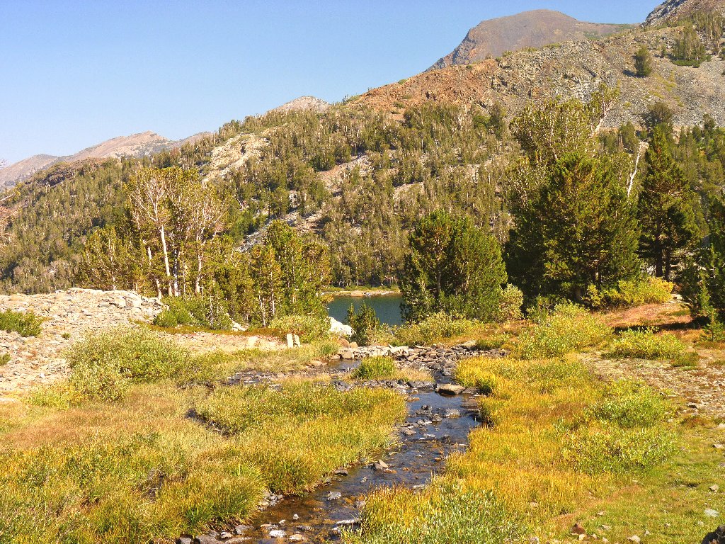
The beginnings of Virginia Creek
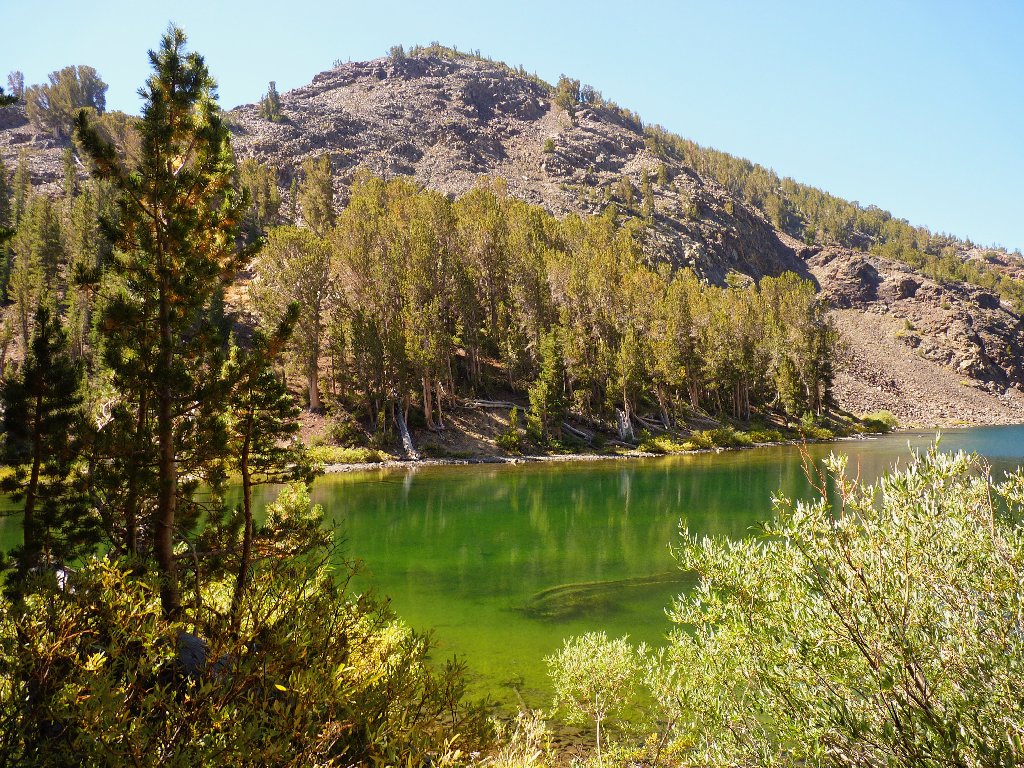
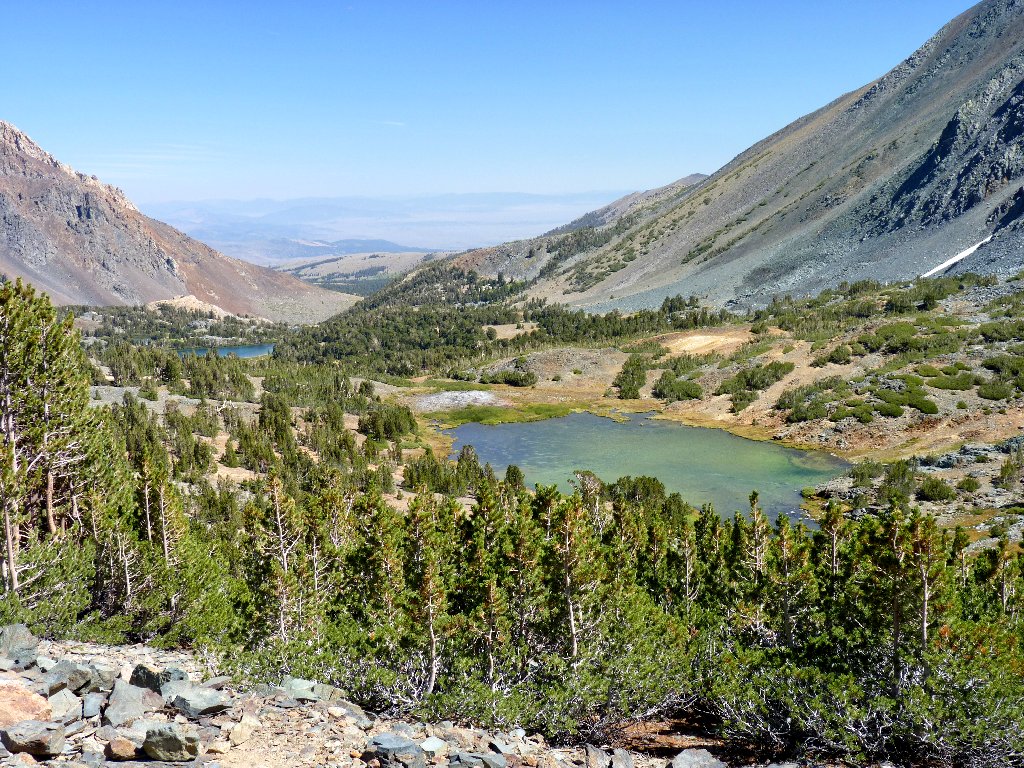
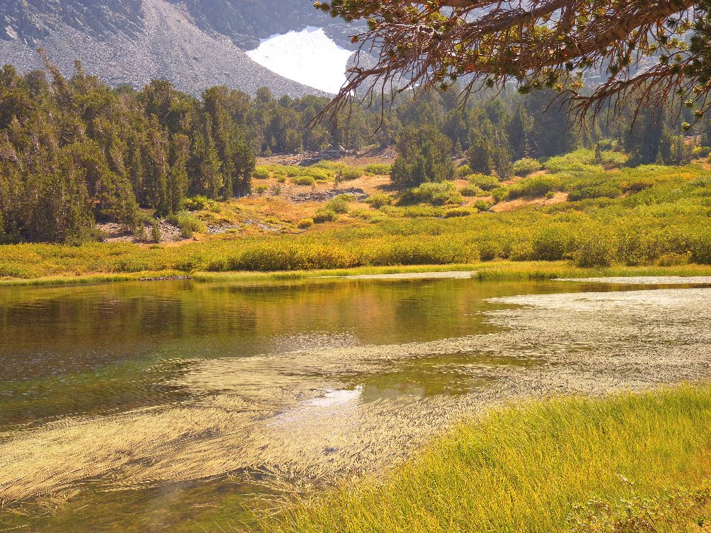
Two of the three Frog Lakes are adjacent to the trail, and they are lovely.
All are quite shallow and have an unusual greenish color. Farther up is another
lime-green one called Teapot Lake; after that, the climbing begins in earnest.
East Frog Lake
South Frog Lake
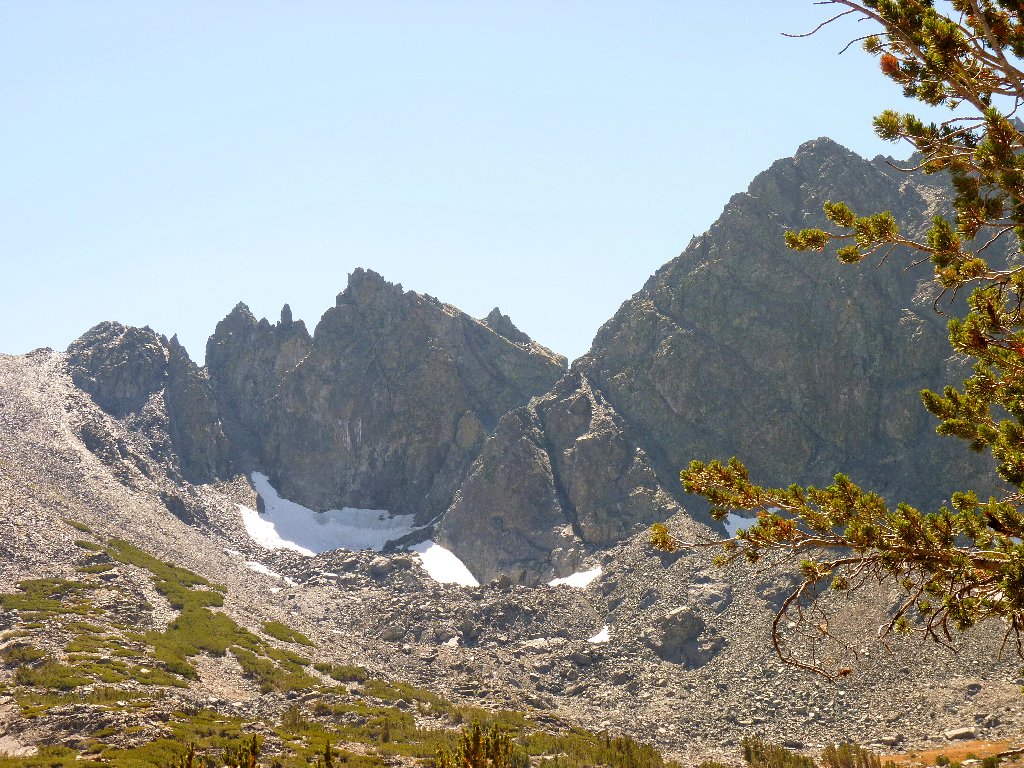
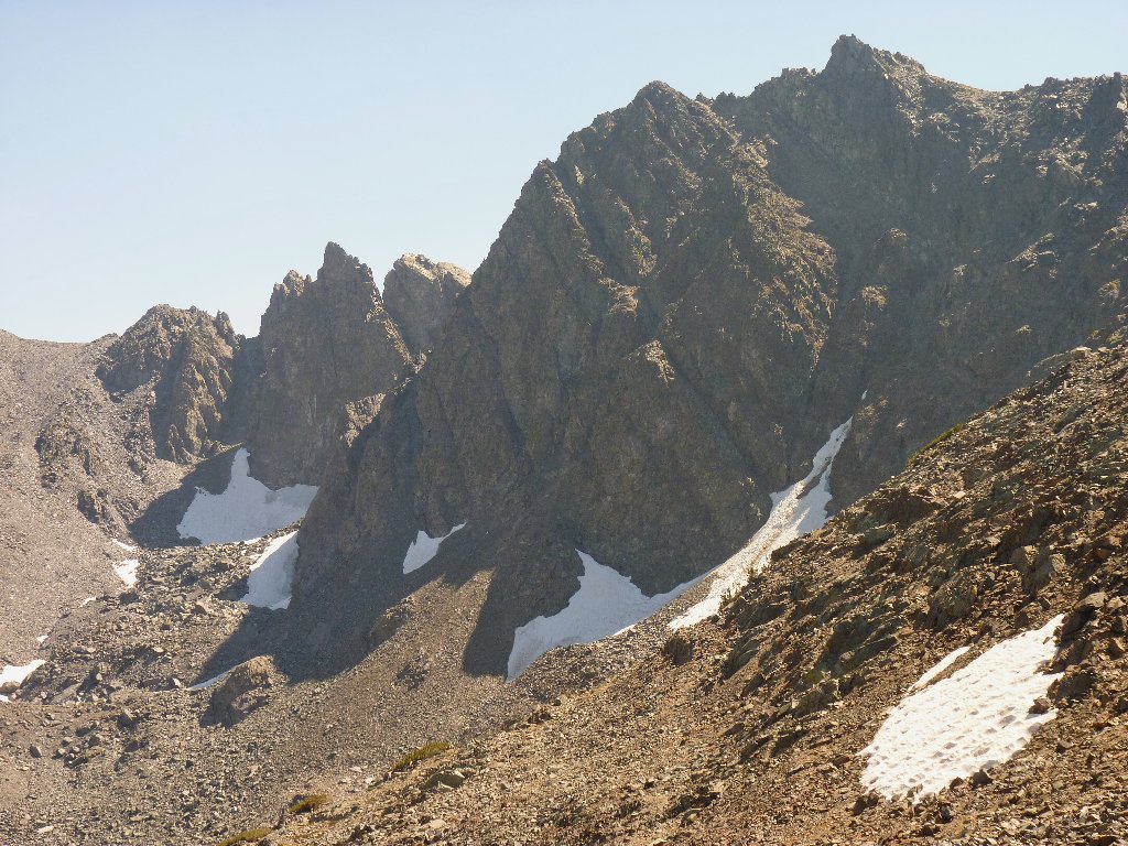
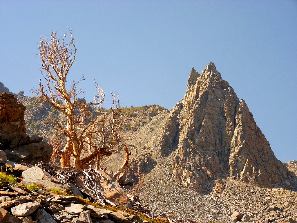
Unnamed crags
This is exciting
Smoke from that damnable forest fire has pervaded the air even this far north; but unless I am viewing something quite distant, the effect is minimal. Driving up here was a really good choice.
Smoke over Nevada
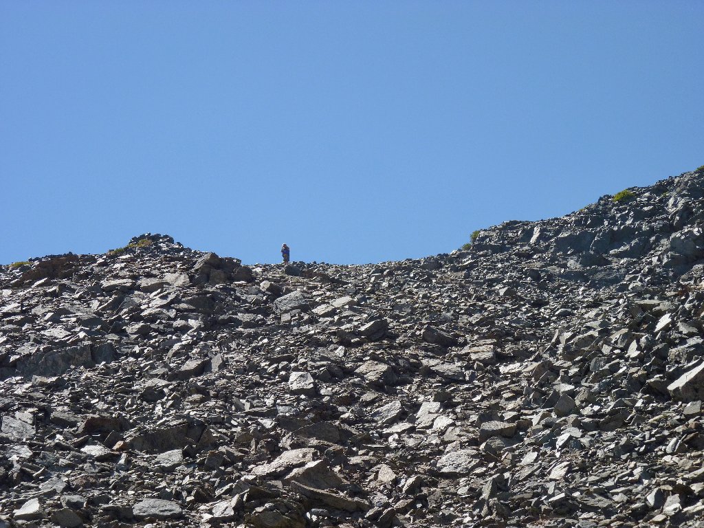
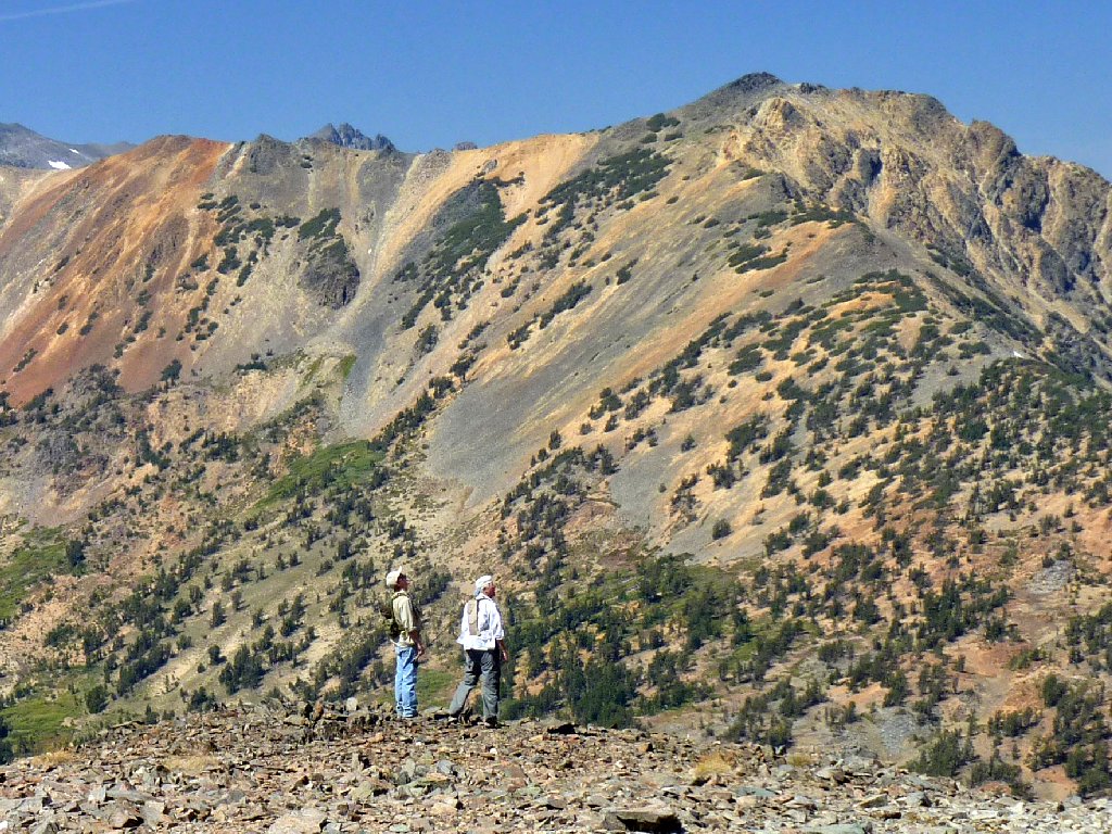
The presence of a number of other hikers is adding to the enjoyment of this trek. Despite anything that I might not have worded to best advantage in the past, for me hiking solo is fine but being alone in the wilderness is not. I don't need those other folks' close company, but most of the time it feels good to have them around.
Nearing the top
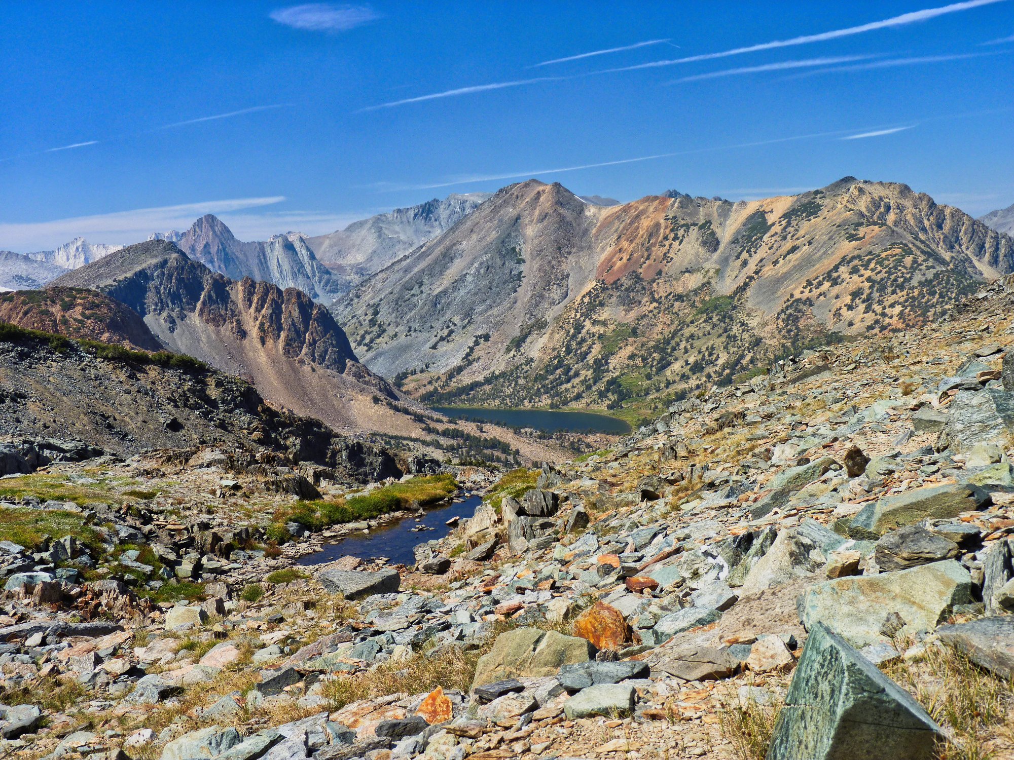
I reach the pass at 11,114 feet — the highest I have been with a hiking pack. Awaiting me on the other side is a view so stunning that it takes my breath away.
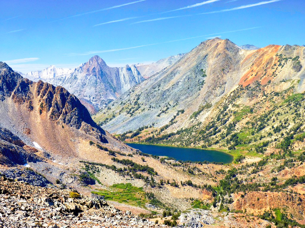
Whorl Mountain (white), 12033'; Virginia Peak (brown),
12001'; Camiaca Peak above Summit Lake, 11739'
Whorl Mountain and Virginia Peak are in Yosemite; Camiaca Peak lies on the park boundary. Three weeks ago I explored the far side of those mountains on the slope of Matterhorn Peak, which summit is barely visible in the center skyline. It's a different world over here.
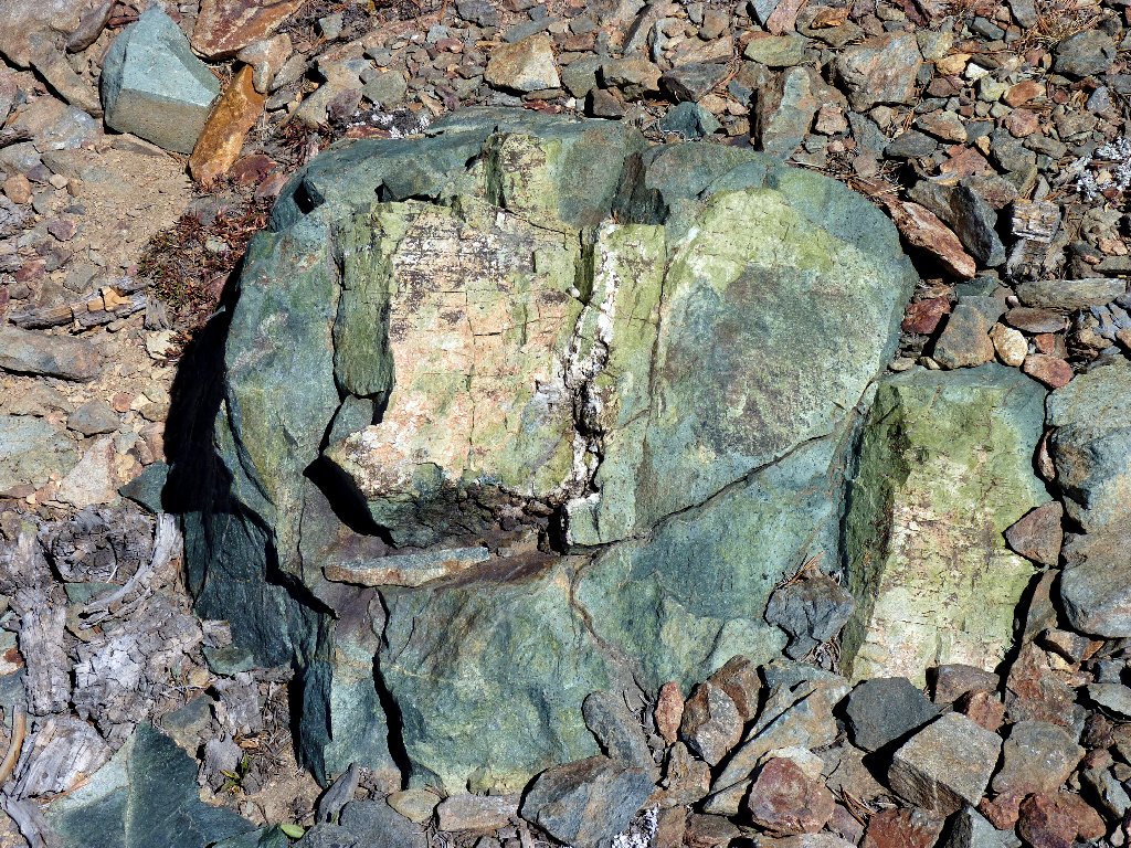
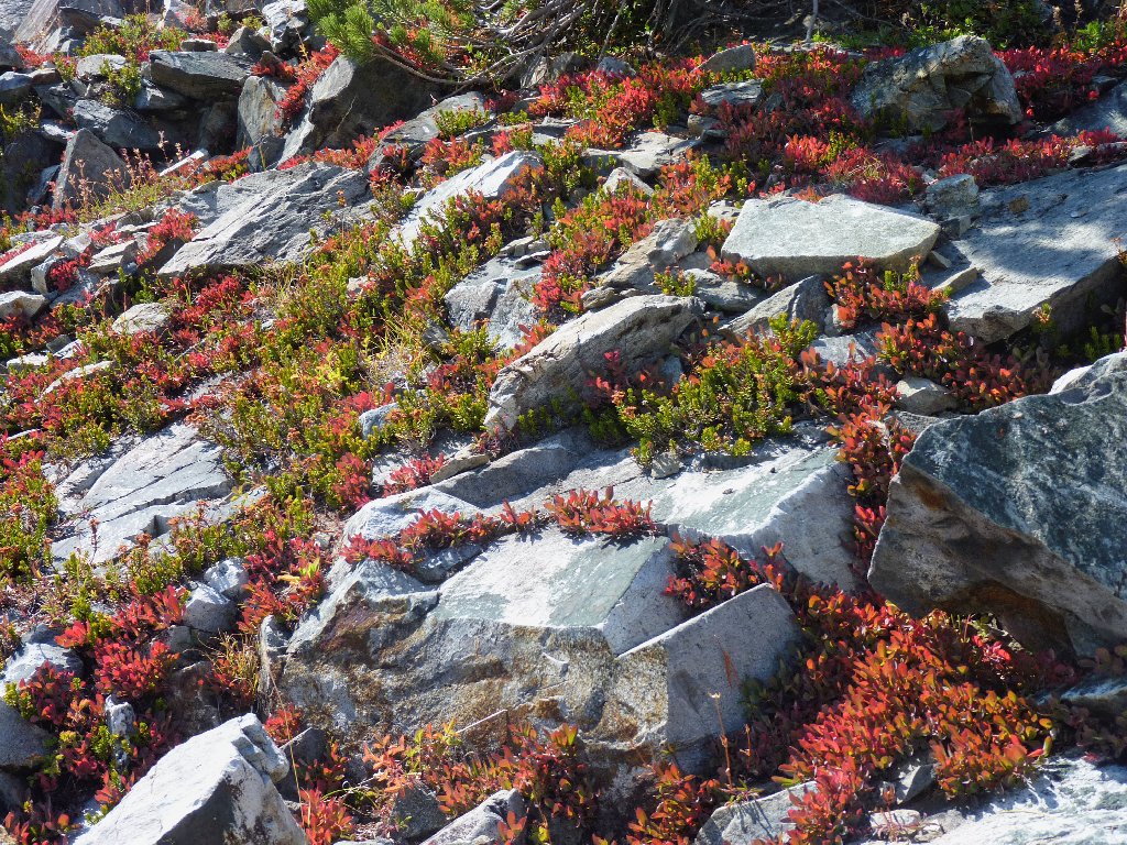
Land of the turquoise rocks
This high point is unnamed on my topographic map. Several websites incorrectly
refer to it either as Burro Pass or Virginia Pass, both of which exist but are miles
away to the northwest. In contrast, a couple of seemingly knowledgeable folk have
termed it Summit Pass, which makes some sense because it accesses Summit Lake; but other
maps and users show Summit Pass as being between Summit Lake and Yosemite. Of
course, I abhor and reject any name that is based upon confusion, so I'll give it a new,
unambiguous designation — Virginia Lakes Pass.
Some writers also confuse Summit Lake with East Lake, which is just barely in sight to the north; and they mislabel Virginia Peak as Matterhorn Peak, which also is miles away and is a totally different color to boot. Those who would presume to 'tell us' should at least glance at their maps first.
Photographic opportunities abound
Originally, I had considered climbing to an even higher lookout about three
quarters of a mile north of here; but that seems unnecessary, because
exceptional views can be had just by exploring this saddle. A use trail
leads northward toward a dropoff, providing easy access to vistas in that
direction. I can see a trail skirting a lake more than 1,300
feet below.
Epidote Peak, 10951', overlooks Lower Hoover Lake.
East and Gilman Lakes are farther back.
Those would-be fishers are searching in the wrong direction
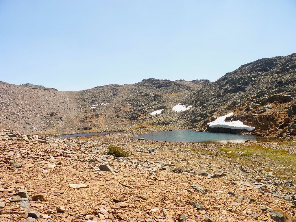
Just south of the pass are two tarns that some call the Little Tween Lakes
A nifty optical illusion of sorts presents itself here. Do you see the two lakes in the following picture?
And did you spot the three hikers? ⇔
Actually, the nearer body of water is just a 20-foot pool at the
edge of a dropoff; Summit Lake behind it is more than half a mile long.
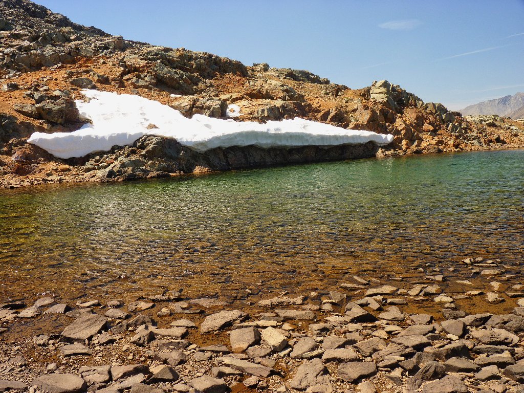
Lots of water at the pass
Permanent snowdrifts? Or glacierettes?
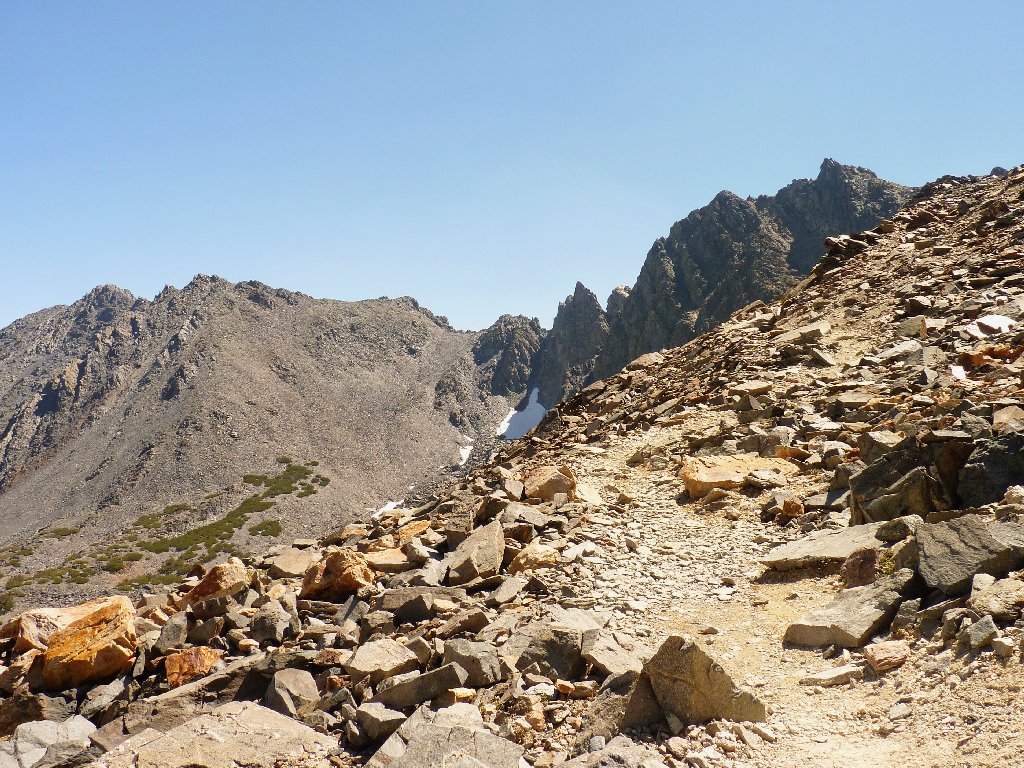
It is time to head back. From this vantage point at the summit, much of the route is laid out before me. As I pass a foursome of backpackers carrying a lot of gear, one of them asks me whether this trail will get them to East Lake. All that I can think to respond is "Eventually", because that destination could have been more readily accessed from the Green Lakes trailhead.
The man's question suggests that some planning might have gone awry.
In any case, the remainder of their walk entails a 1,700-foot drop in
elevation over the next four miles. Those hikers' knees will not appreciate
their monster backpacks.
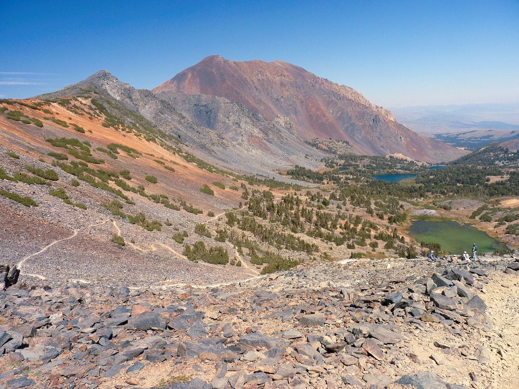
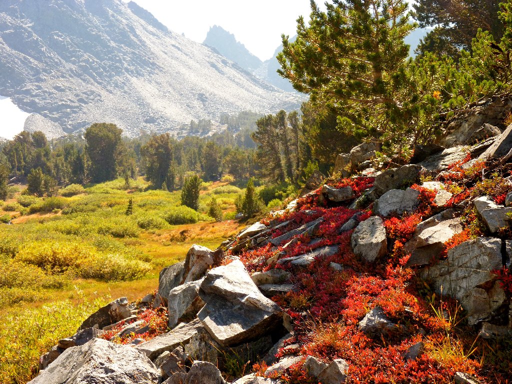
Dunderberg Peak, 12379', is the highest mountain in view today
Teapot Lake and Black Mountain, 11760'
The mid-afternoon sunlight is doing some nice things with shadows and color. I spend most of an hour at the next lake, just taking pictures and reveling in my environment.
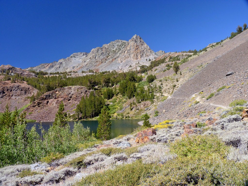
South Frog Lake
This is why I go hiking
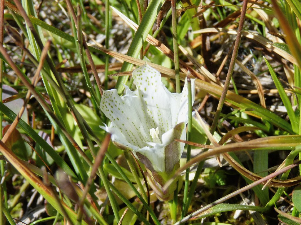
Tioga Gentian
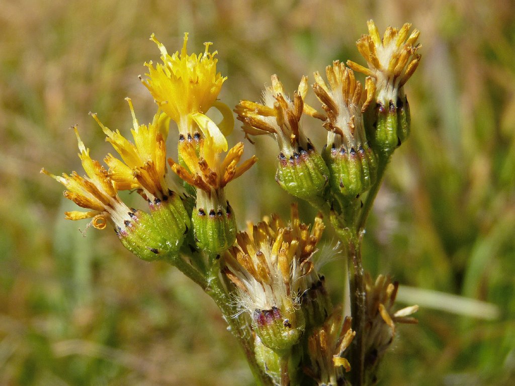
Western Groundsel
The camera doesn't want to stop shooting
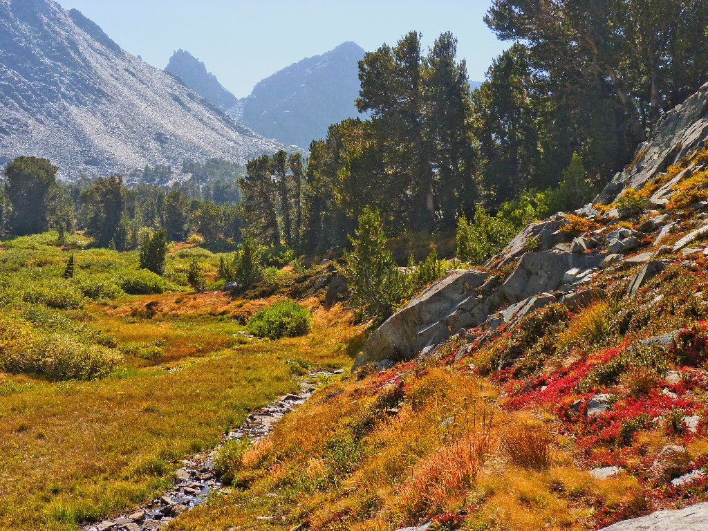
The remaining mileage is uneventful, yet interesting nonetheless.
East Frog Lake and Dunderberg Peak
Virginia Creek flows into Cooney Lake
'Garfield Rock' (use your imagination)
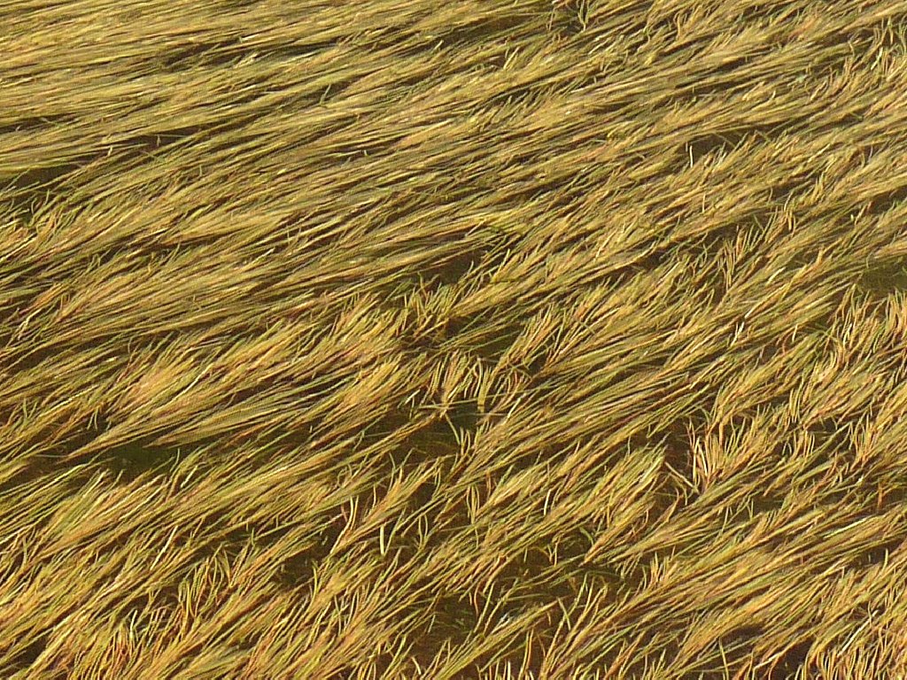
Nice textures
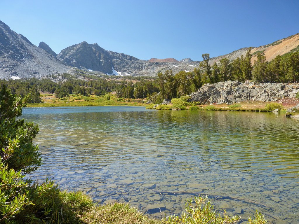
Blue Lake
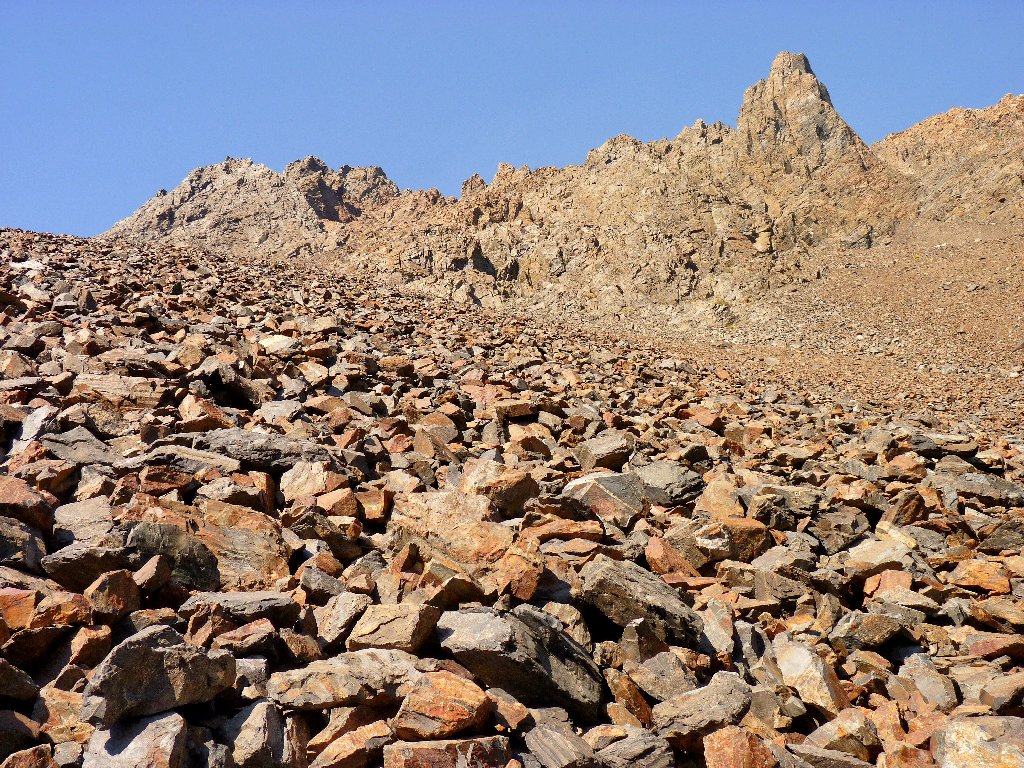
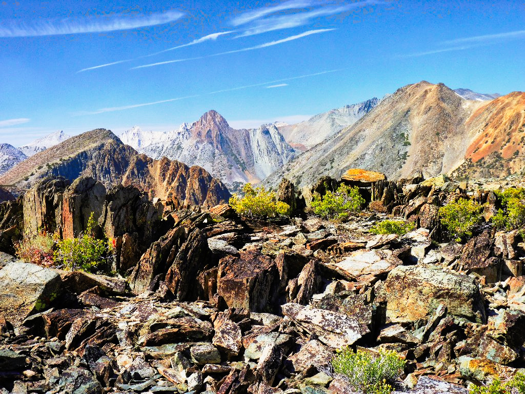
Talus jumble
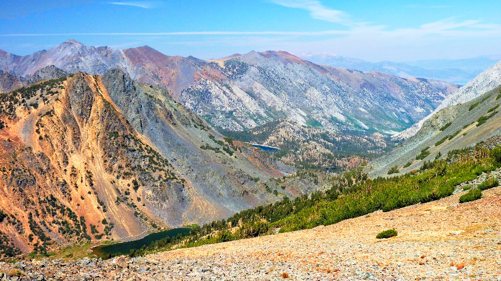
§: This was my third visit in as many weeks to the gorgeous Hoover
Wilderness. Earlier I had stated that Twenty Lakes Basin was the most
colorful place I had visited, but this area gives that one a good run for its
money. Of course, it is only four miles away.
The trail was easy on the feet today, with hardly any rough spots; even the scree traverses were relatively gentle. The upper lakes on this route were very nice, the views from the pass were truly breathtaking, and the photographic opportunities were exceptional.
In retrospect, I really should have scaled the hill behind the Little Tween Lakes, to get what would should be a good view of Burro Lake and possibly a portion of Lundy Canyon as well. I'll not miss it next time.
| Scenery |  |
| Difficulty |  |
| Personality |  |
| Flowers | |
| Solitude |  |

After the hike I paid a visit to Travertine Hot Springs, which is
behind the Ranger Station in Bridgeport. A woman was in one of the pools,
but apparently Stan already had come and gone.
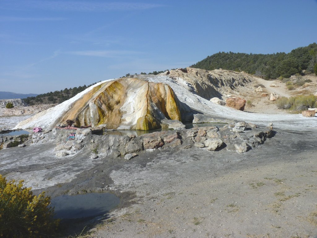
Four separate pools provide a variety of temperature options
