
Hoover Wilderness
|
Twenty Lakes Basin, Short Loop Hoover Wilderness |
August 28, 2010
Today's plan is to go off-trail to visit the Conness (rhymes with 'finesse')
Lakes, and possibly go one-on-one with the Conness Glacier itself.
My sister Margaret and I board the boat-taxi at 8:30 a.m. for the
cool ride to the other end of Saddlebag Lake, thereby saving nearly three total
miles of unexciting walking.
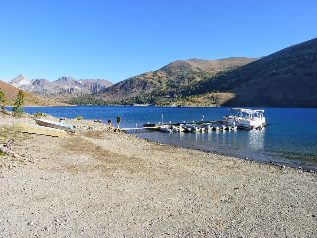
The boat taxi awaits us
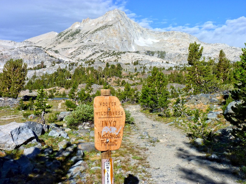
Entering the Hoover Wilderness
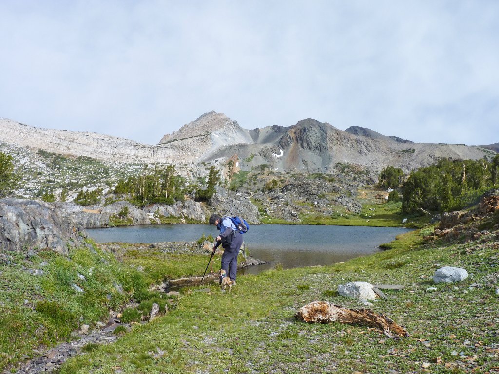
Margaret has brought along her little dog. She tells the boat driver that Zela can handle about eight miles of hiking, which is noteworthy considering how short her legs are.
Behind Greenstone Lake is the Yosemite Park boundary
North Peak, 12247'
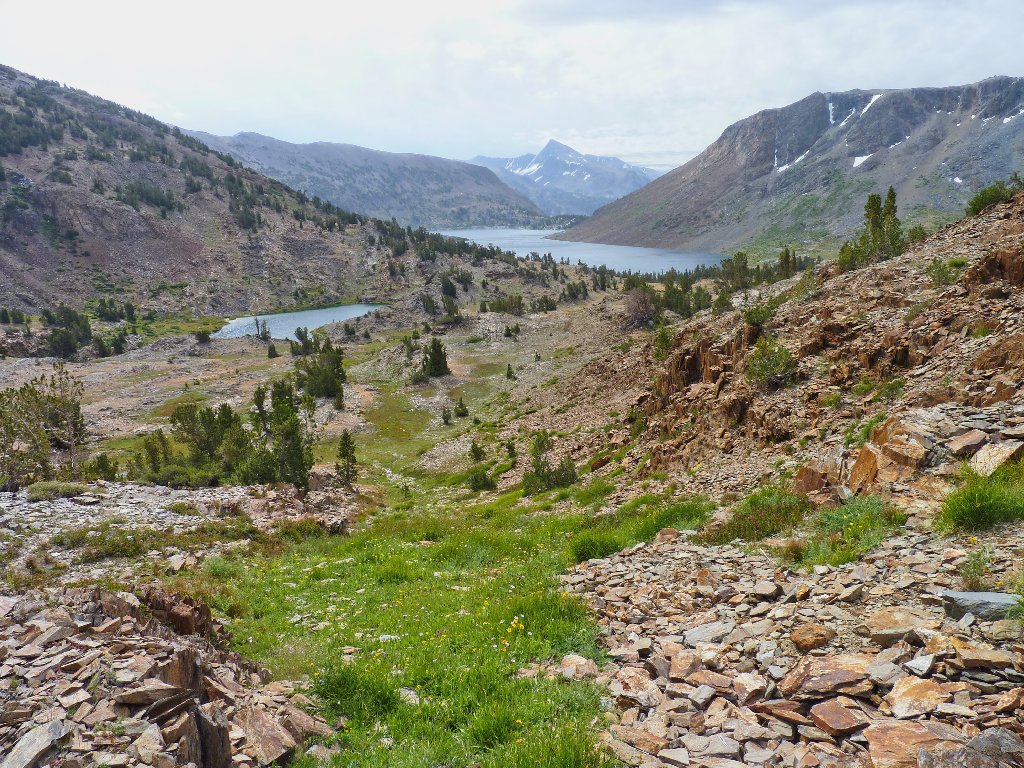
My GPS says that we should leave the trail almost immediately and head
directly west. There is one big problem, however. The unseasonal
cold front that disrupted my trek into Sawtooth Ridge yesterday has reduced
the temperature here to 42 degrees; also, the wind is gusting strongly
and storm clouds are moving in. Those combined factors make a hike
somewhat less than fun, at least for me.
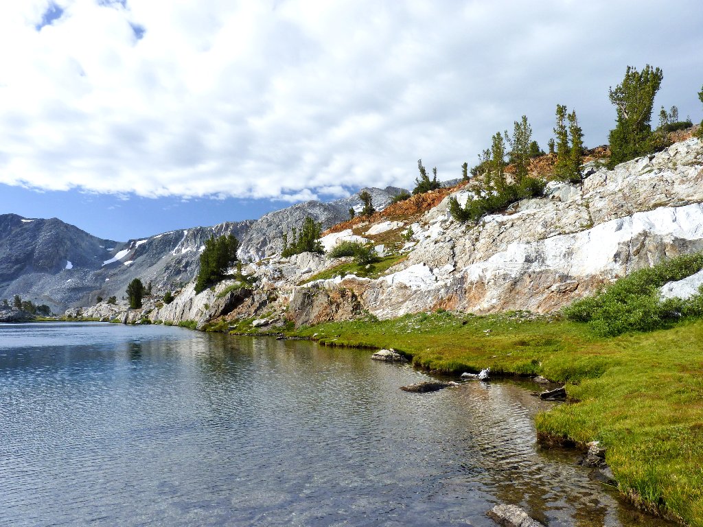
An amazing sandwich of colors at Wasco Lake
The last thing that appeals right now is the idea of climbing farther away
from civilization in order to commune with some snow and ice. Having no
idea when or whether it might begin to rain, we opt to shortcut the main loop
trail by cutting east toward Z Lake, which I have not yet seen.
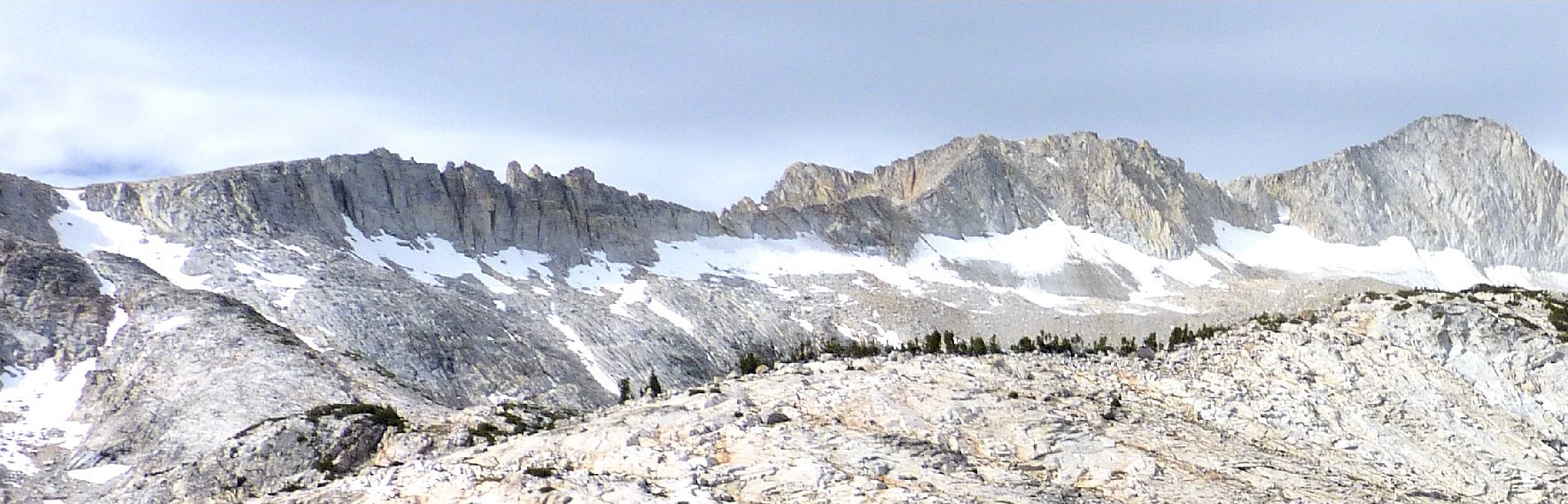
Leaving the trail. In the center skyline is Mount Conness, 12589'
Last week at Glen Aulin, a tent-mate had told me that the wildflower display here was awesome a week prior to that. Seventeen days later, a lot of them are still around.
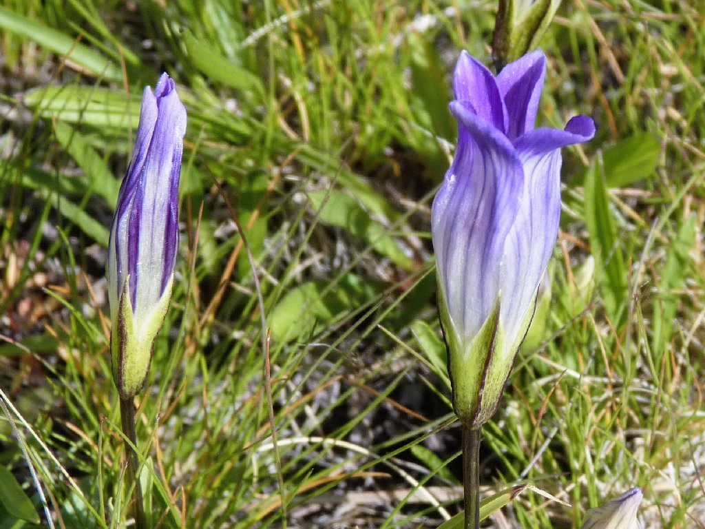
Sierra Fringed Gentian
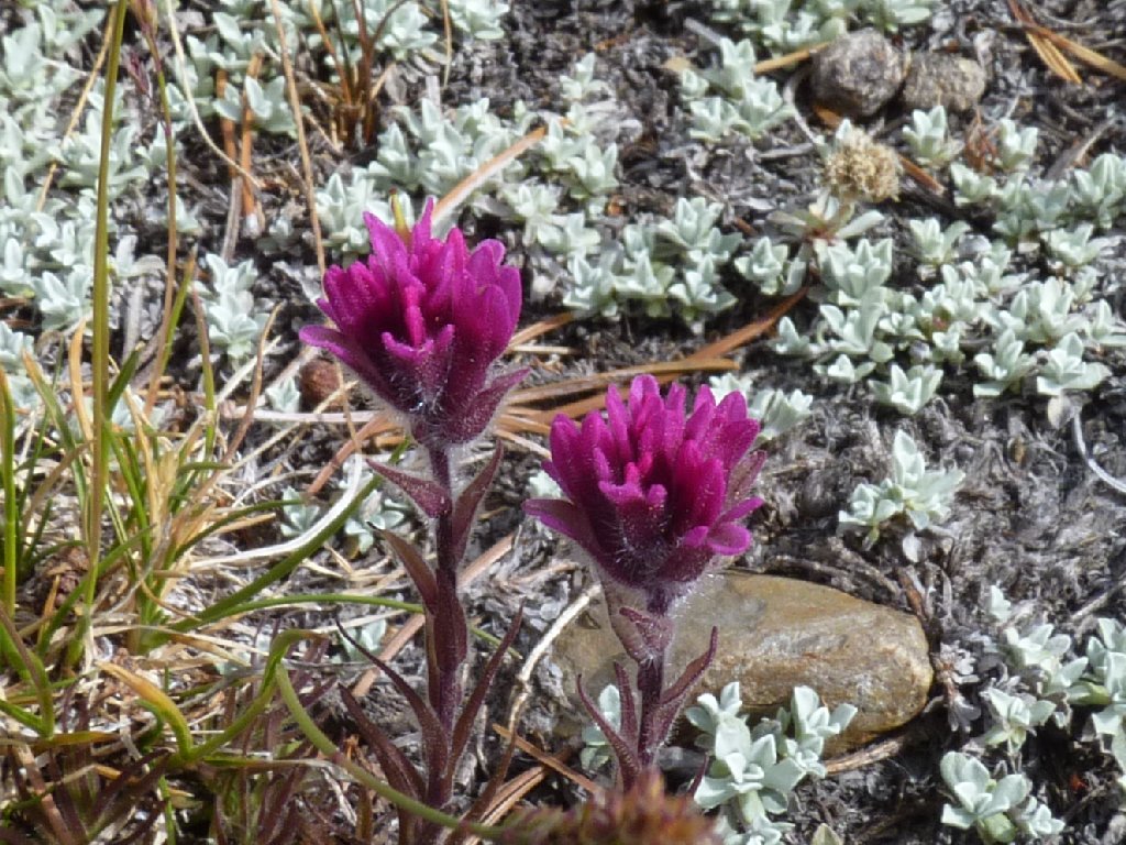
Lemmon's Paintbrush
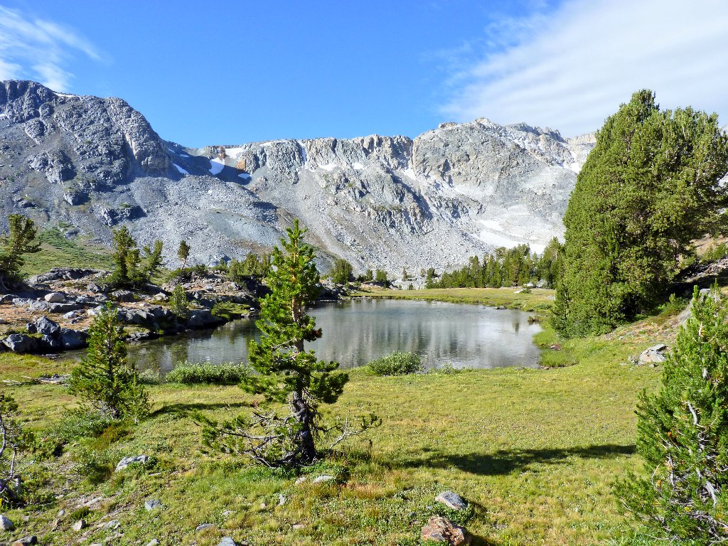
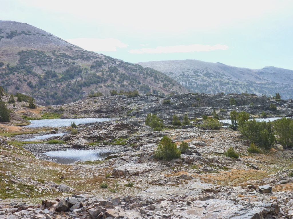
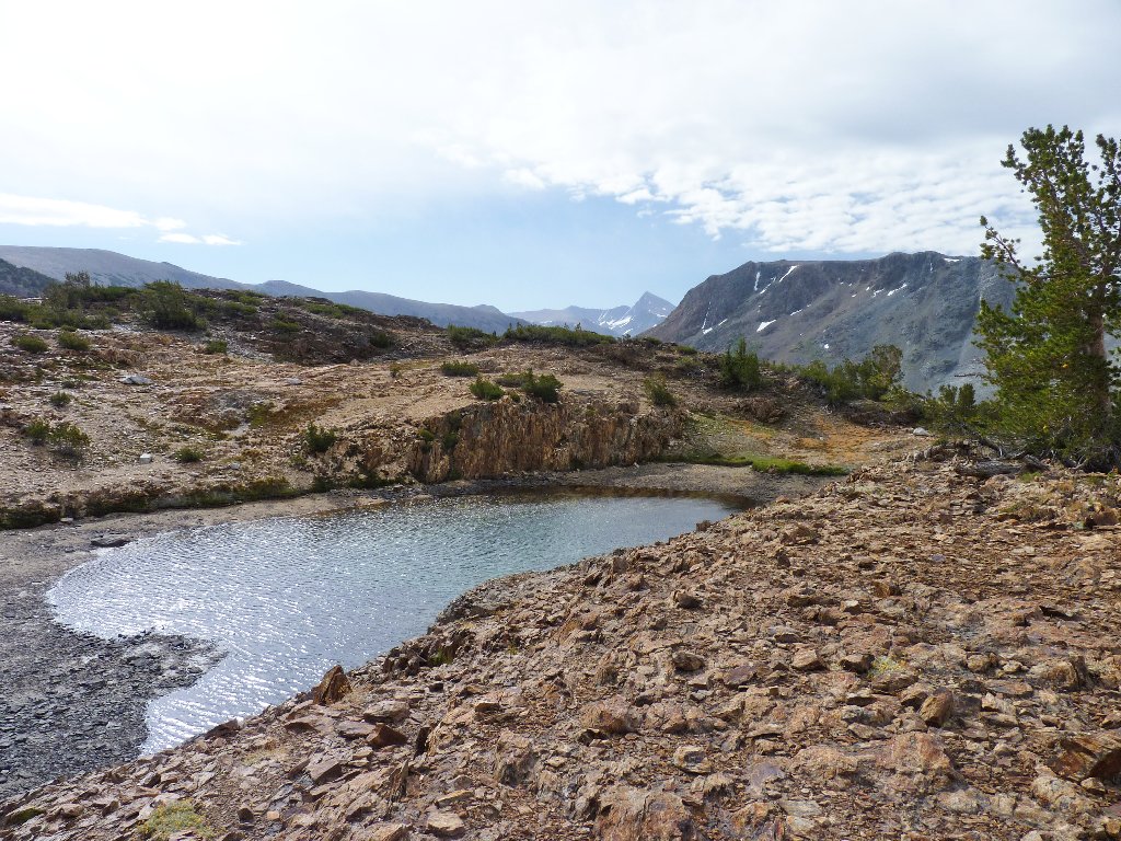
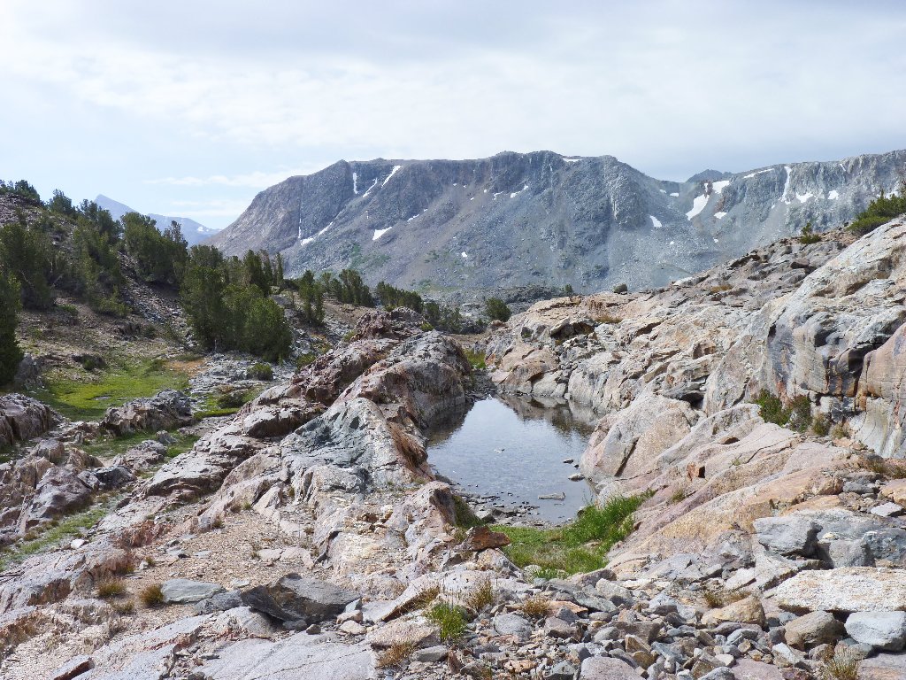
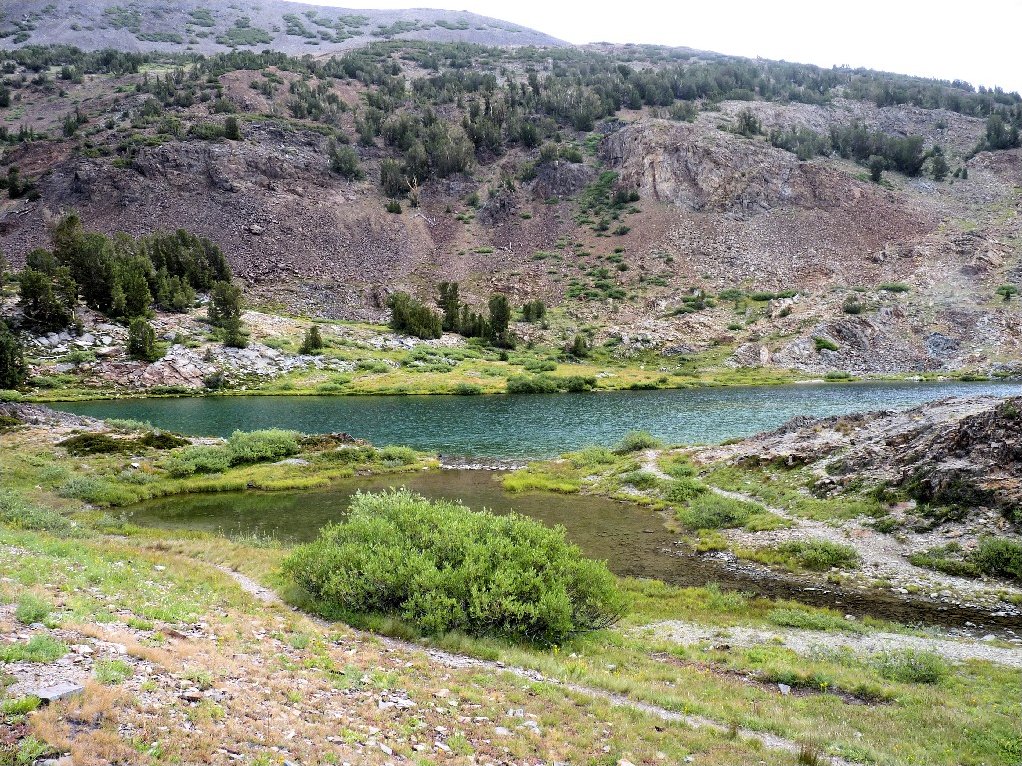
Besides the plethora of lakes in this basin, there are any number of little ponds and residual pools, each with a unique beauty and appeal. Already we have run into several of them without even trying.
Margaret and Zela find another no-name pond
Z Lake duly appears just where my instrument says it is supposed to be. Skirting around the water to the left, my thought is to try to catch glimpses of some of the other major features of the basin before heading back.
Z Lake
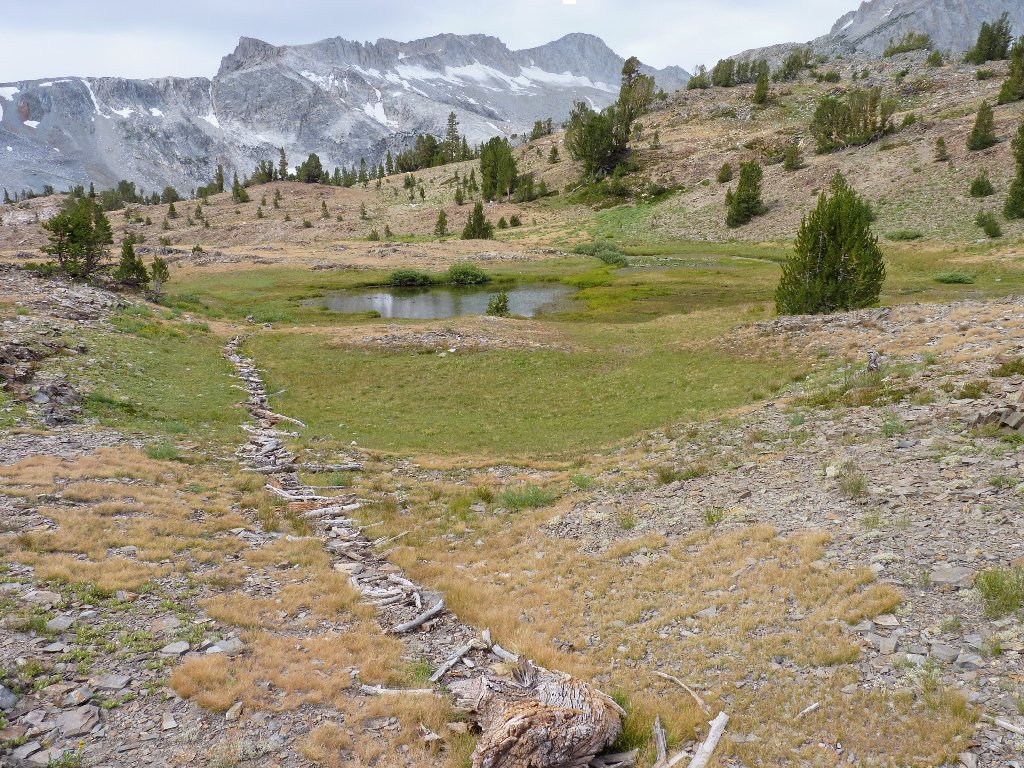
This might connect with the lake at certain times
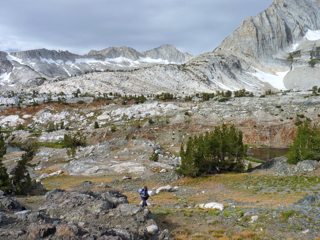
One of the bigger lakes does appear some 400 feet below. Although it
is difficult to discern in the photo, the unofficial use trail traverses the
pink talus slope behind the lake. That is the only crummy section of
the entire five-mile standard loop.
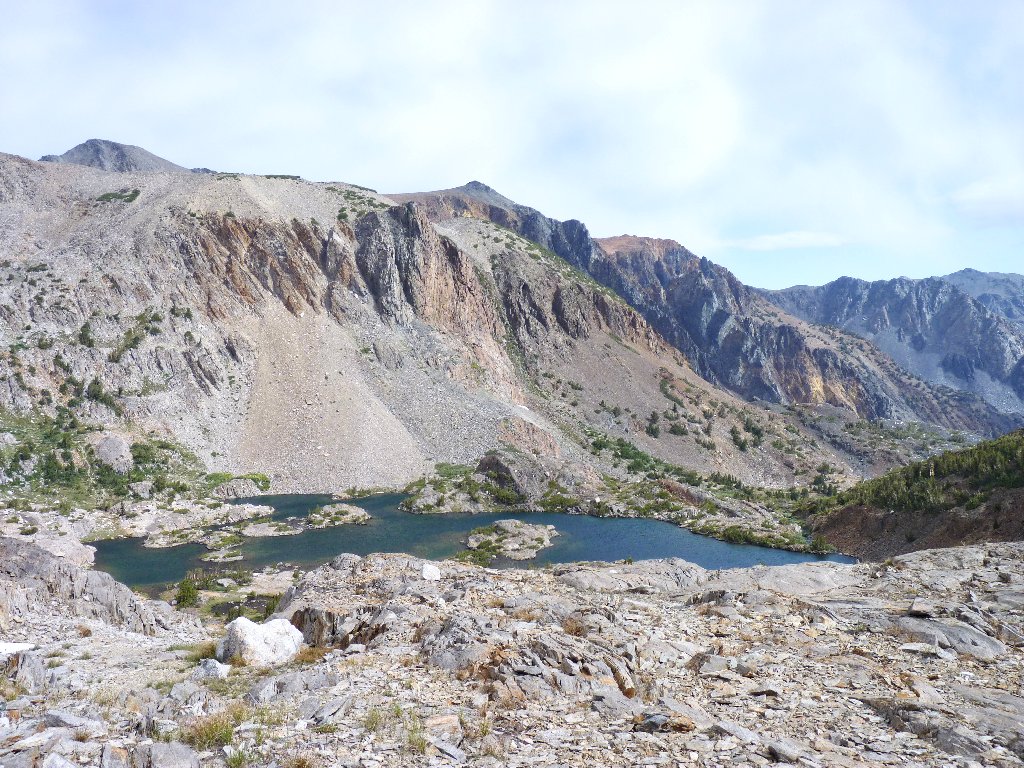
Shamrock Lake
The cross-country going is fairly easy, even delightful at times, albeit with some ups and downs. Margaret carries the dog across a section of scree slivers, to avoid a chance of cut feet.
The clouds are darker than ever, and I am little warmer than before. Concluding that any views of the four other nearby lakes would necessitate traveling even farther from the trailhead, I resolve just to connect with the trail along the eastern side of the basin.
Most of the cross-country going is easier than this
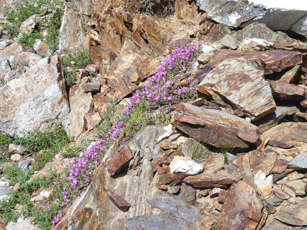
Rockfringe is today's most colorful flower
This pool is more interesting than most
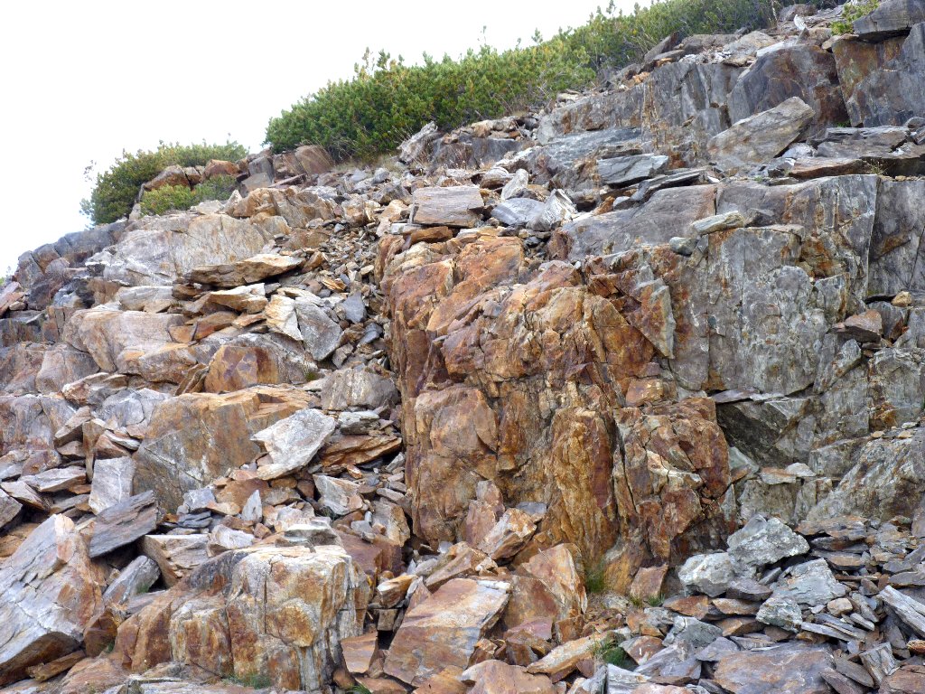
Whoa! Around the next corner is an incredible rock formation that makes this trek worthwhile despite any inconvenience. Shades of Mackenna's Gold! Actually, it is the result of molten rock flowing into the dikes, or cracks, in another type of rock, then cooling as quartz.
This is why I go hiking ⇔
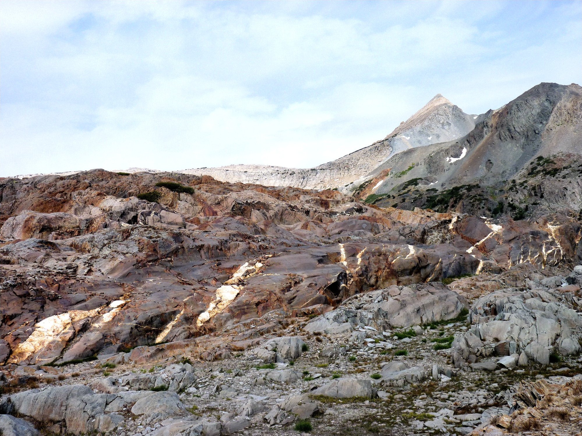
Achieving a final high-point at nearly 10,700 feet, we discover that the route down the hill will be pretty easy. The slanted grassy pathway is too inviting to pass up.
Mount Dana in the distance, 13061'
The Sacramento chapter of the Sierra Club had scheduled a trip up Yosemite's
Mount Dana for today. I trust that that outing was cancelled, for dealing
with gale-force winds and a potential lightning storm at 13,000
feet would not have been pleasant. Ascending that peak is on my
must-do list nonetheless.
Presently we make contact with the trail. Several hikers are headed the other way, seemingly oblivious to the weather conditions. Kudos to them for choosing to be out here at all.
Hummingbird Lake
As we approach the boat dock, a dozen more hardy souls exit the craft. We hop on for the return, just two hours after our hike started. I am hoping that any mild regrets over the conditions of today's outing will be assuaged by some good photographs.
Because it is scheduled to snow in this area tonight, my sister and I both elect to head home a day early.
Closed for reclamation
§: After adding up all the reds, yellows, blues, browns, greens, and whites, I have judged that this is the most colorful area in my hiking experience (yes, including southern Utah). On top of that, the outstanding geology is worth a trip in itself; I have not seen the like of it elsewhere.
Any hike in this basin is superb; only bad weather could mitigate the pleasure of such an outing. Of course, had the weather been good I would not have found the quartz deposit, and my favorite photograph of the year would not have materialized. Serendipity.
I have a lot of unfinished business in the mellow, yet magnificent, Twenty
Lakes Basin; I suggest that you do also. See Hike #1 for a sample
of some fair-weather walking around here.
| Scenery |  |
| Difficulty |  |
| Personality | |
| Adventure |  |
| Weather |  |
| Solitude |  |

These views of the Conness Glacier show how much more extensive it was just four years ago:
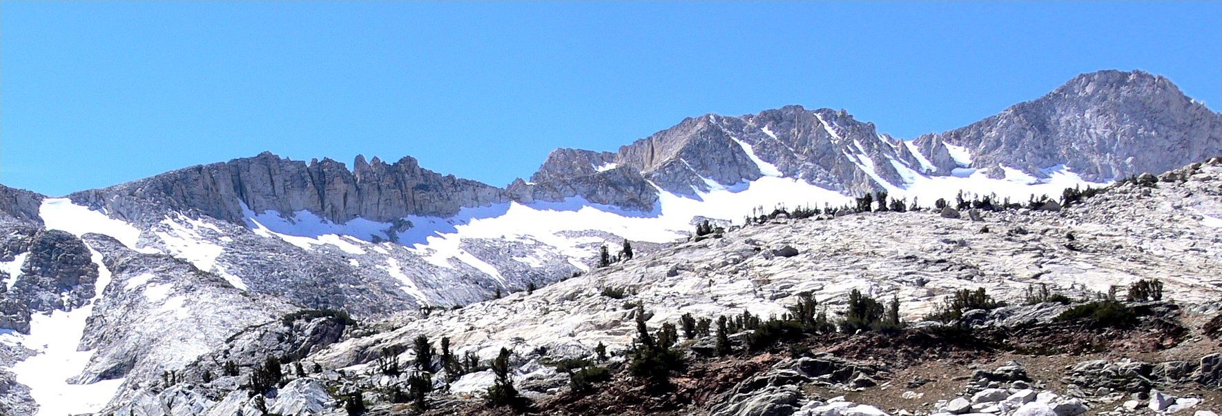
September 8, 2006
August 28, 2010
