
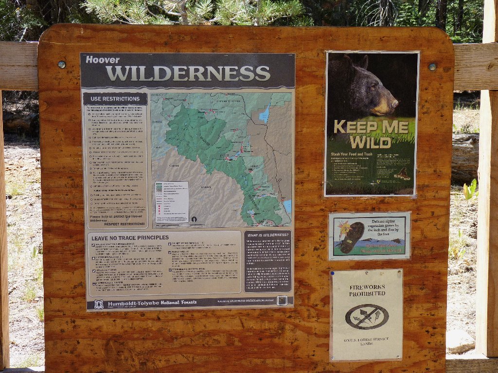
Hoover Wilderness
|
Horse Creek Canyon Hoover Wilderness |
August 27, 2010
When I was very young, my family did some camping here at Twin Lakes.
I remember mom saying, "On the other side of those mountains is Yosemite;
some day we'll go there". Well, I have been to the park since then,
dozens of times in fact, but I never have gotten up-close and personal
with Sawtooth Ridge itself. This is the day.
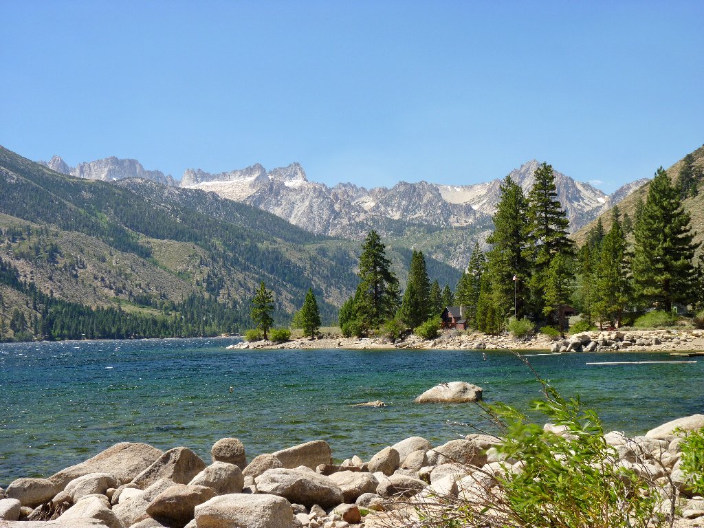
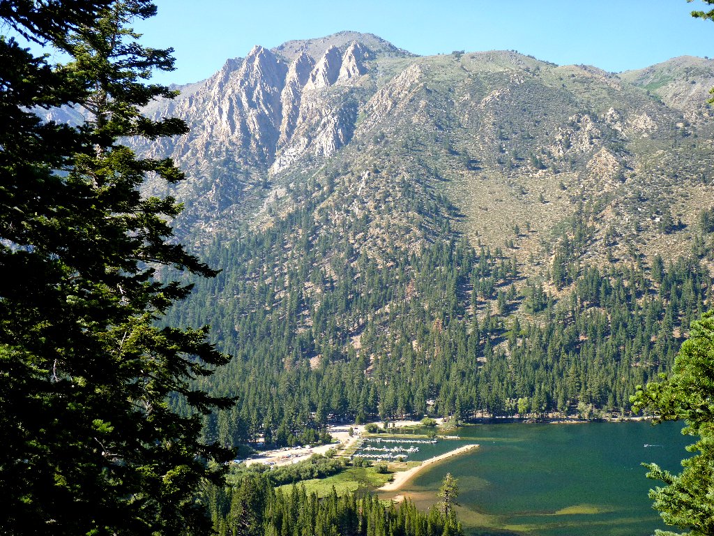
Lower Twin Lake and Sawtooth Ridge
At the west end of the lakes is Mono Village, which sports a marina, a big
campground, and a day-use parking area at lakeshore. A substantial
breeze, quite gusty at times, is a product of an unseasonal cold front that is
moving in.
There are no signs directing me to any specific trail; so I wander toward Robinson Creek, which must be crossed. Eventually I do find a bridge that formerly accommodated an old road. Shortly thereafter, I spot a sign marking an official trailhead.

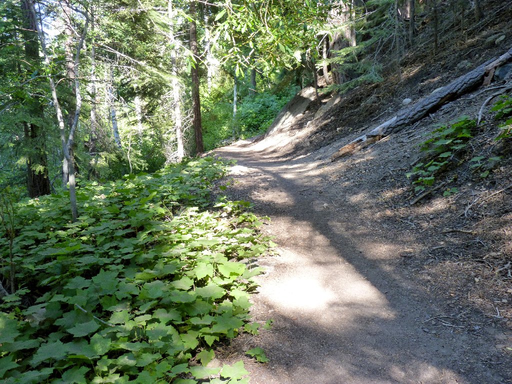
Trail through the campground
The actual wilderness border is an hour's walk from here
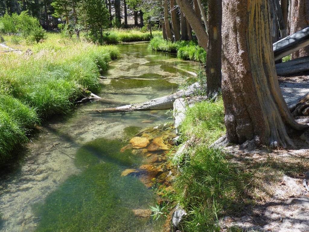
The trail switchbacks up the steep hill, coming close to the creek a couple of times. I am pleased to see that there still is plenty of water flowing.
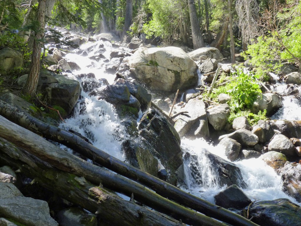
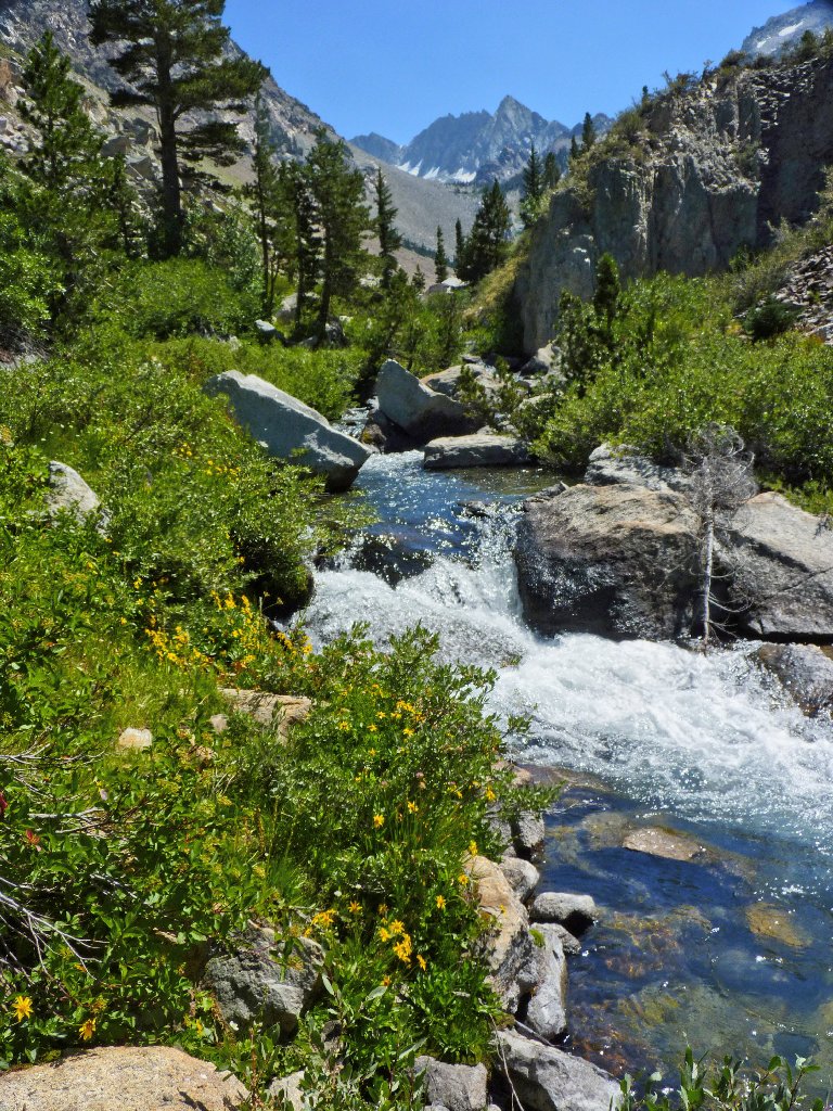
Horsetail Falls
After a 700-foot climb, the path straightens out and heads directly up
the canyon. There is hardly any tree cover for a while, but one
well-situated pine affords some shade for a rest stop.
In a way it is unfortunate that all the best views are generally westward, in the direction of the sun. It would have been best to have begun this hike early in the morning; that would have been difficult, though, because I woke up some 200 miles away.
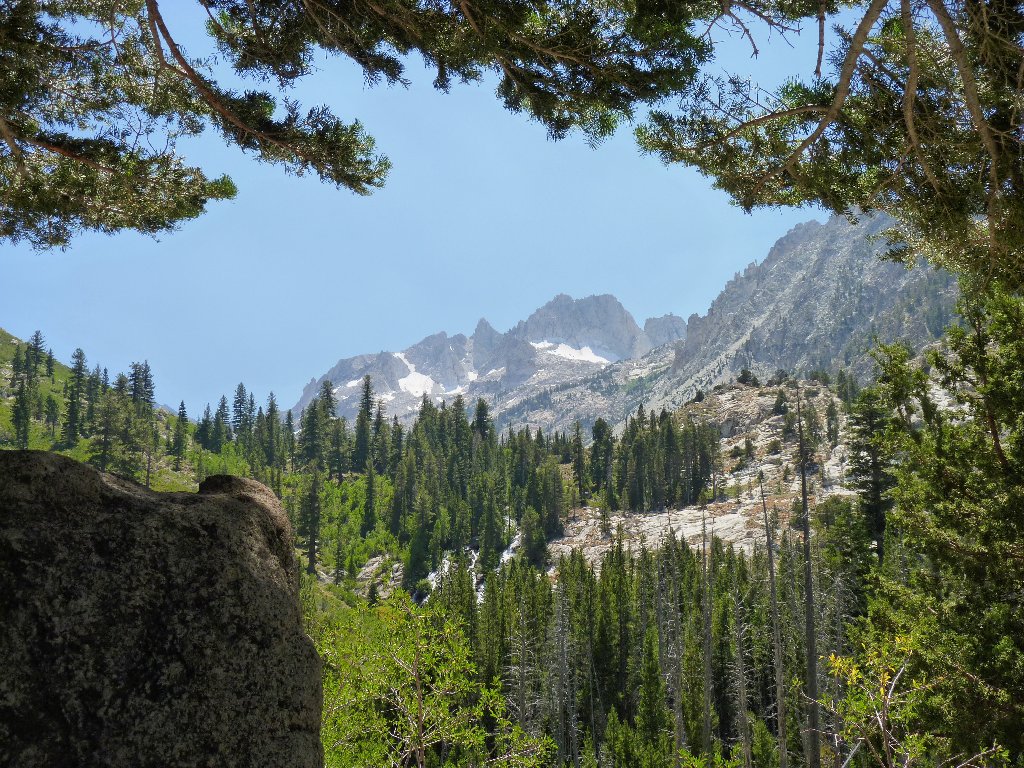
Climbing toward the peaks is exciting
A beautiful cascade appears that is not indicated on the topo sheet. The present angle of the sun is thwarting efforts to get a good photo; perhaps later will be better.
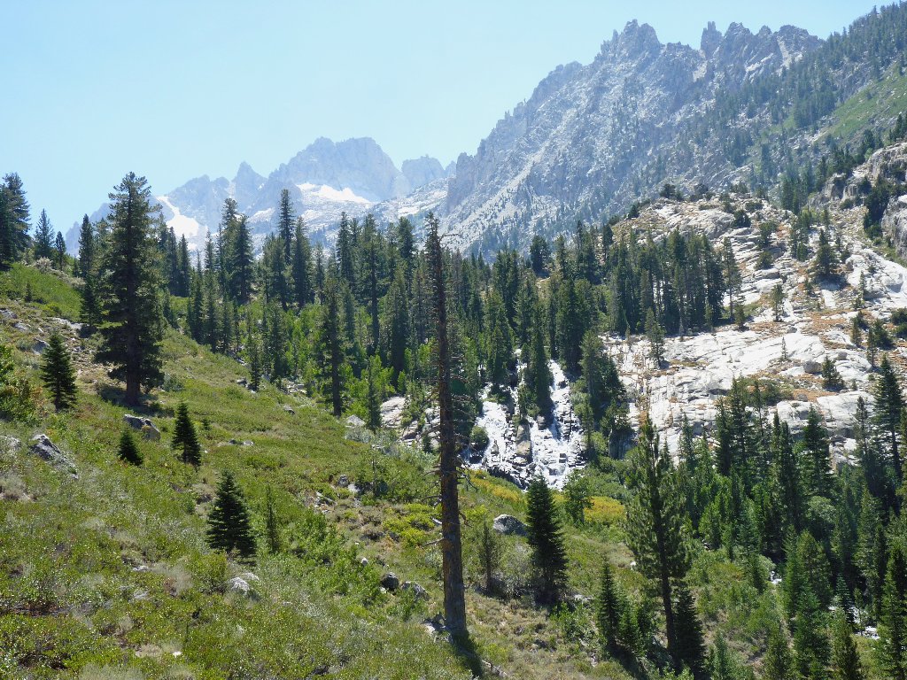
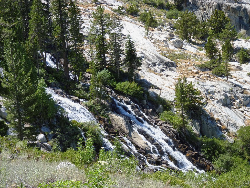
The pictures don't do justice to these falls
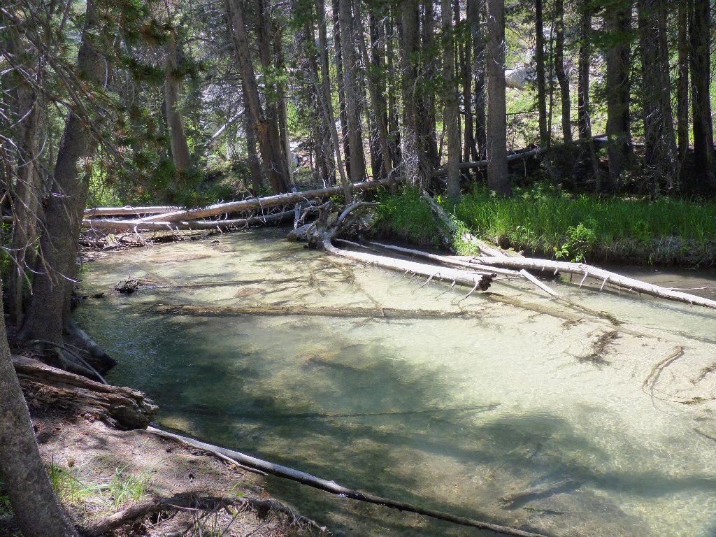
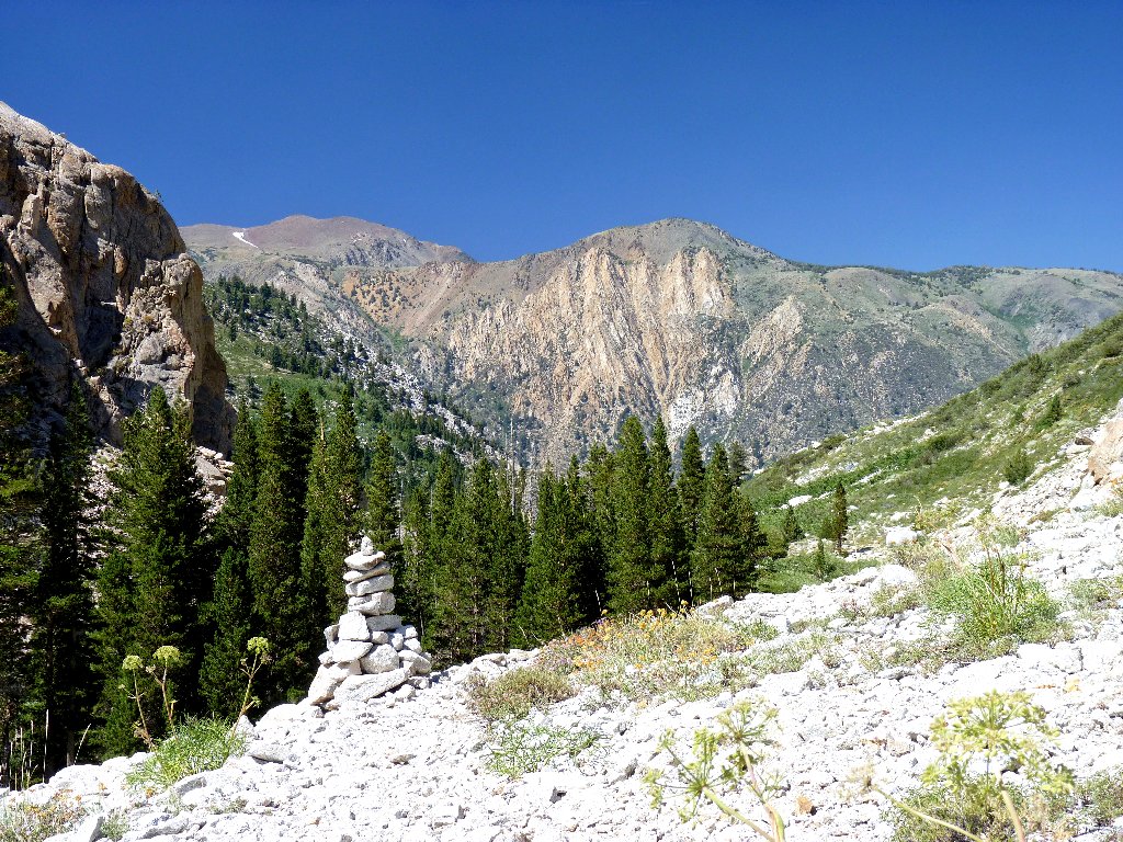
At the top of the falls is a long meadow, being enjoyed by hikers and picnickers alike. The official trail turns eastward here; but I continue up beside the creek, crossing into the Hoover Wilderness beside a little pond.
An amazingly light-colored creek bottom
The only pond on the route
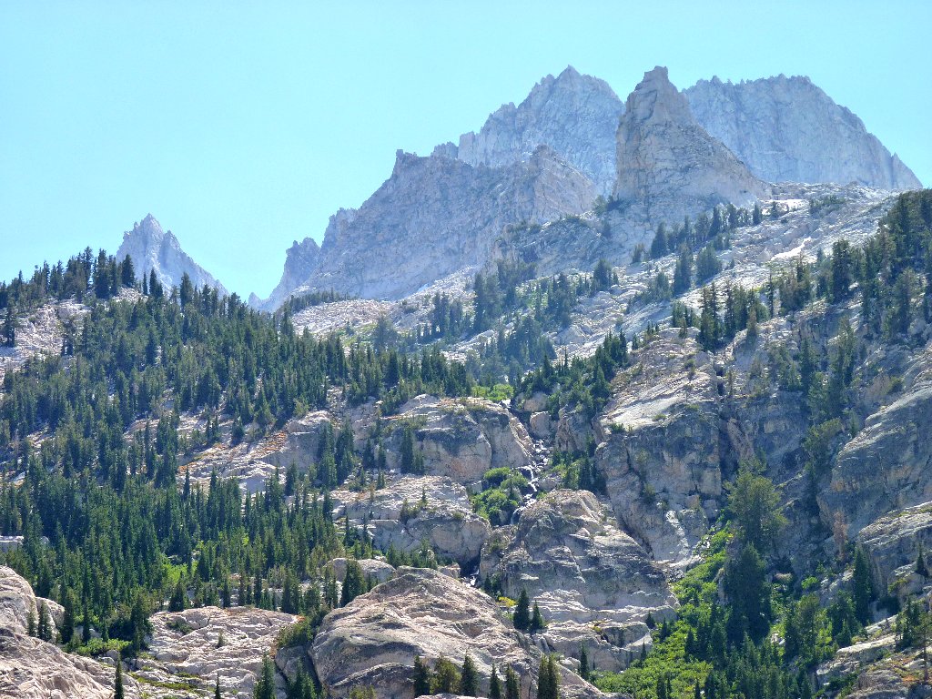
At the end of the meadow the going becomes a bit rough, with some
hands-on scrambling necessary in places. The reward is that
my surroundings become increasingly spectacular with each step.
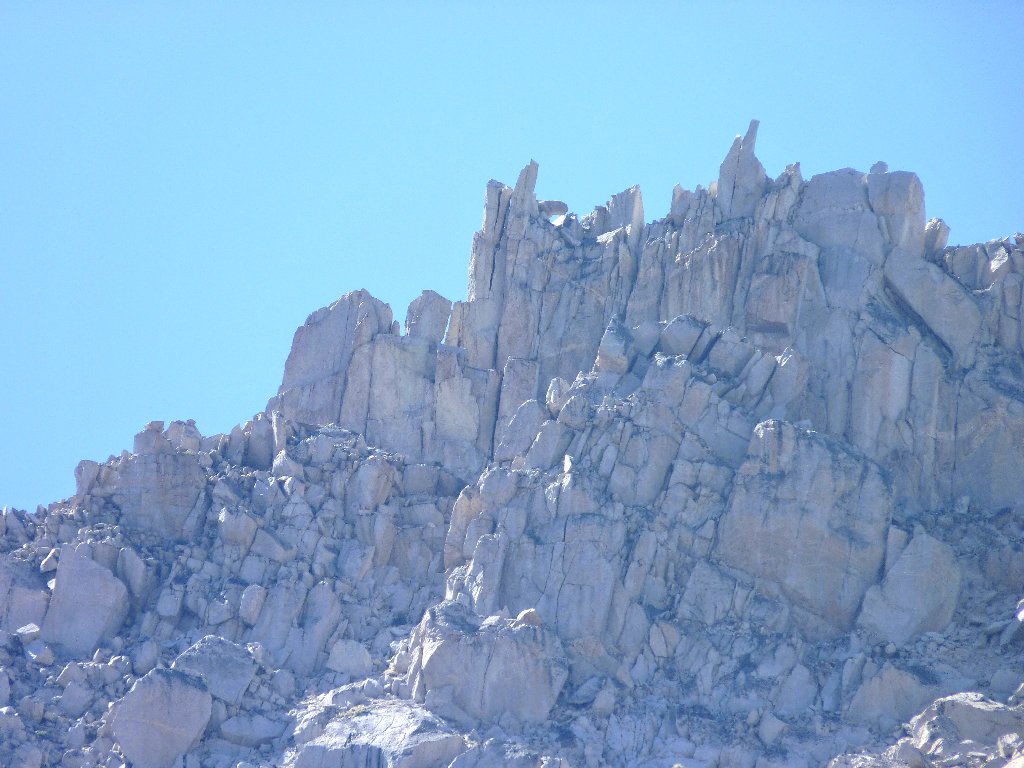
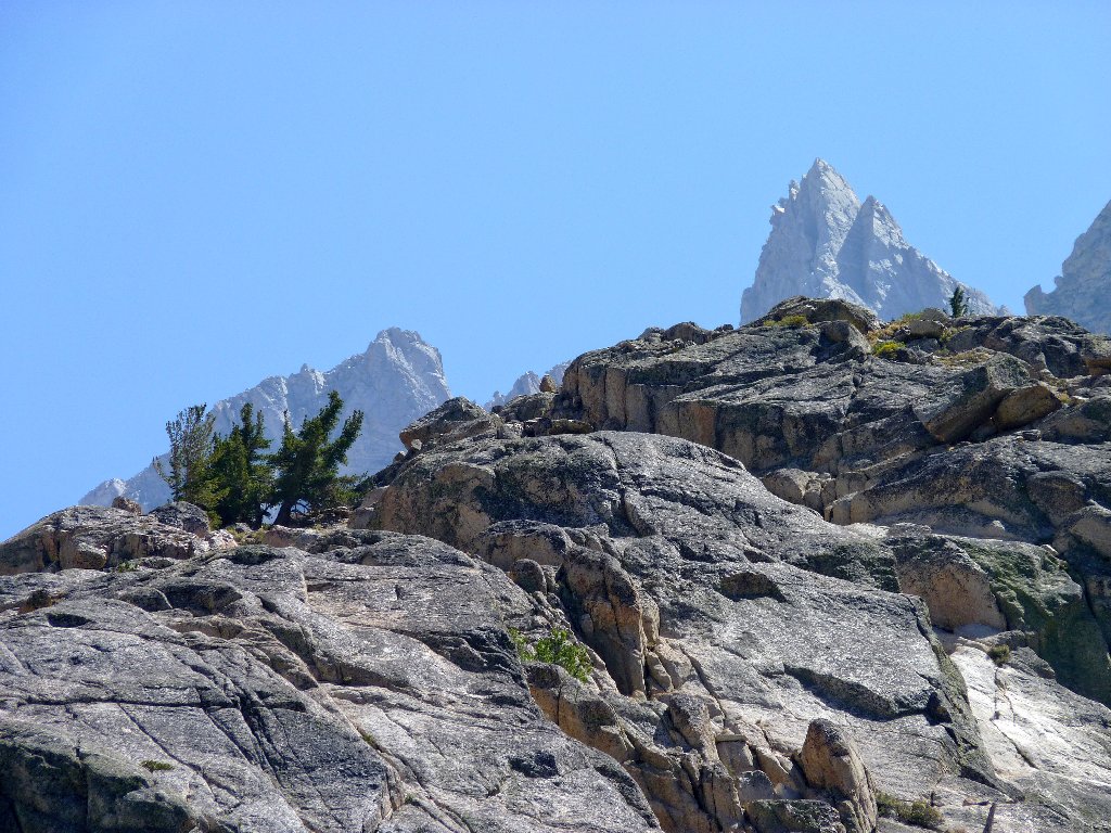
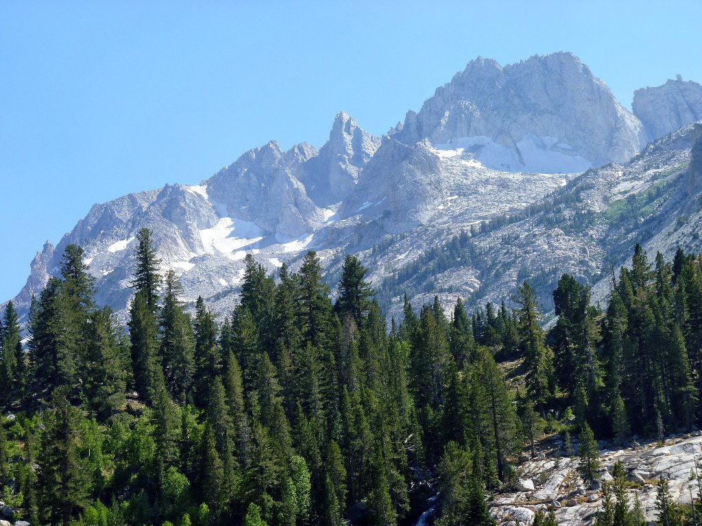
Horse Creek and Twin Peaks
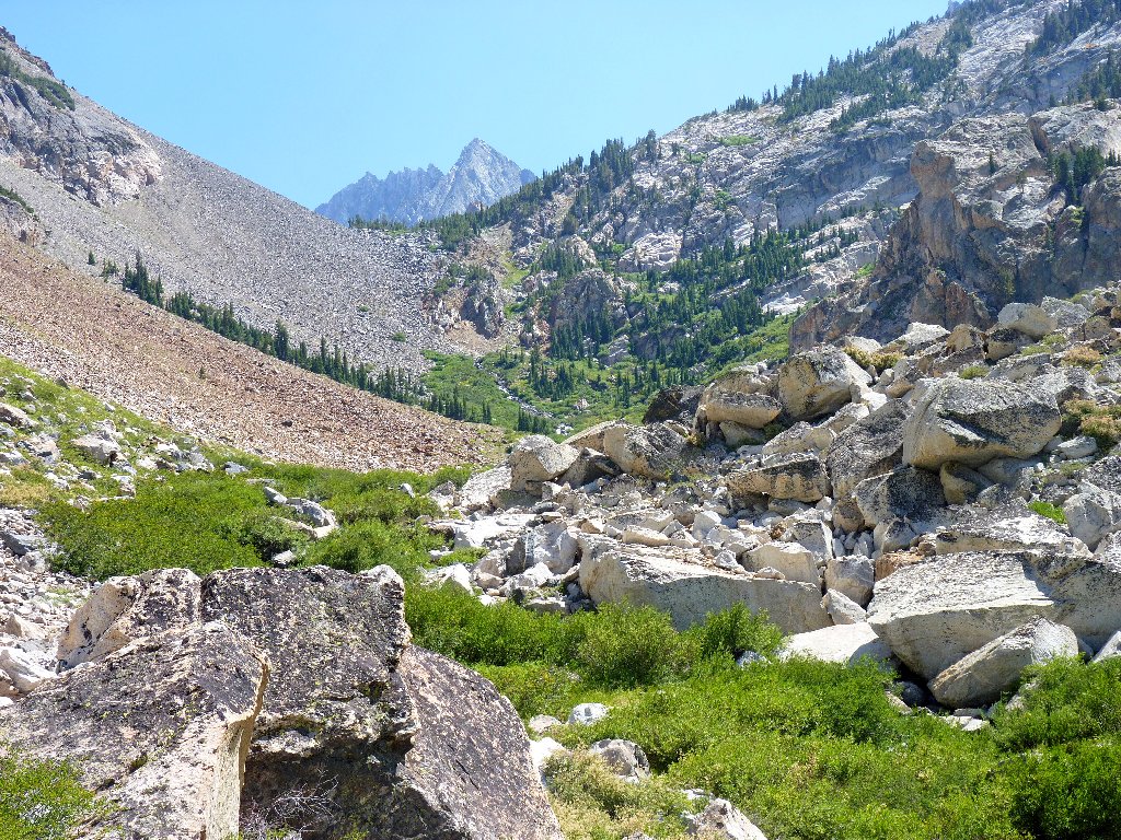
A talus jumble is obstructing the route, but there is a pathway over it. This is an awesome place, with a pair of cascades tumbling down from different directions.

In the center is Matterhorn Peak, 12280' ⇔
Matterhorn Peak, the northernmost 12,000-footer in the Sierra Nevada,
clearly was named after its famous look-alike in the Swiss Alps.
This area also features the northernmost glacier system in the Sierra.
I can name four of them, and there are others. I would bet that most
Californians don't even know that glaciers exist in their state; yet there are
about 100-700 such bodies, depending upon how one elects to define them.
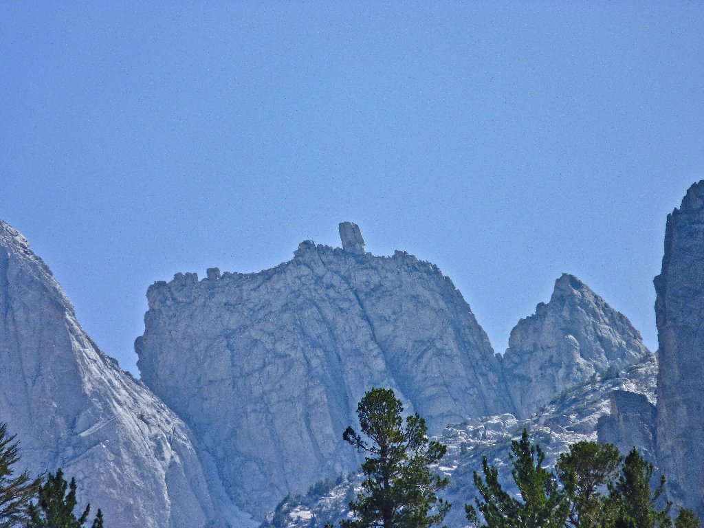
In the rear is Dragtooth
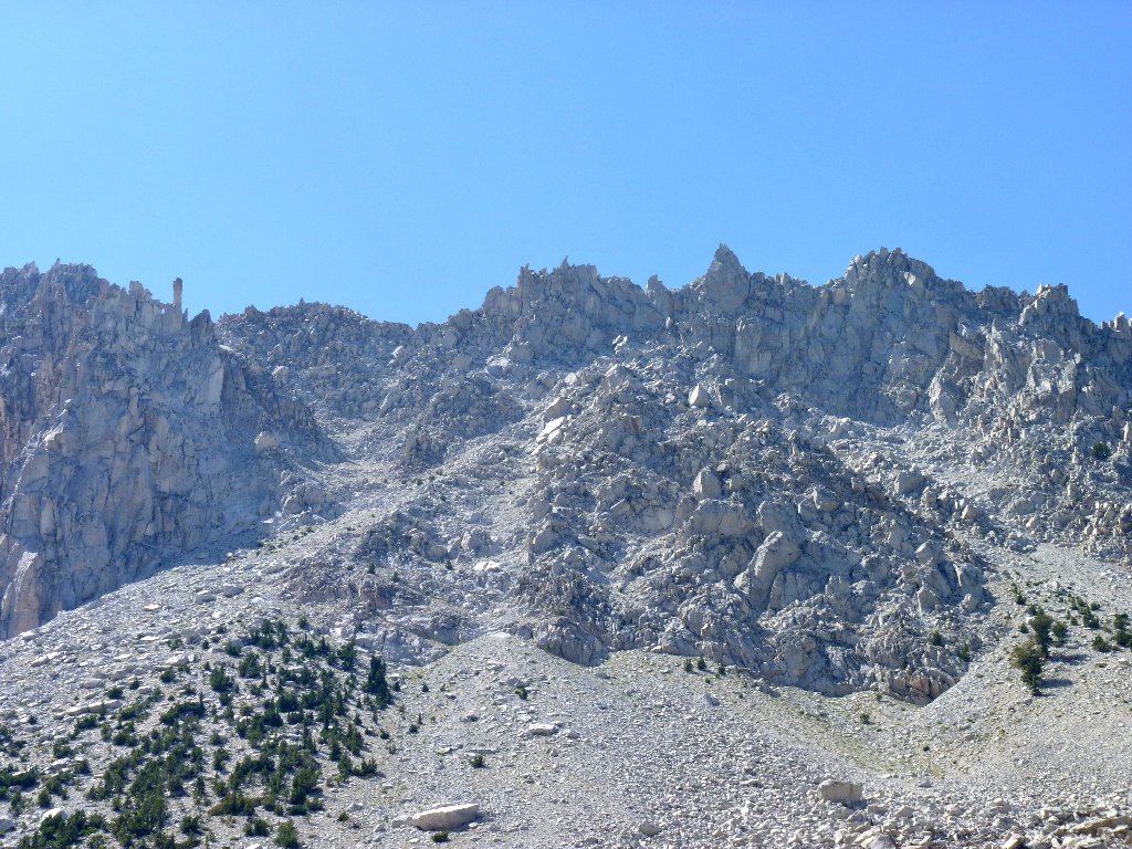
The original plan was to proceed as far as is reasonably feasible, expecting
the scenery to become ever better as I progressed. That has indeed proved
to be the case, and doubtless the views beyond the next 800-foot ridge
would be great. Although getting up the canyon is becoming increasingly
difficult, that isn't the problem. More importantly, the wind is blowing
strongly enough now to be unpleasant.
Further exploration will have to wait
With a heavy sigh, I decide not to continue farther; yet even the gale
will not prevent me from photographing the exotic rock formations immediately
above. They comprise a long ridge-top called The Cleaver.
The Cleaver
As I start back across the talus field, the wind blows the hat right off my head. A significant scramble down the rock jumble is necessary in order to retrieve it. Fortunately, a big cairn helps me not to become lost in the process!
Northward view
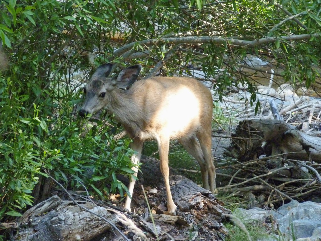
Numerous flowers line Horse Creek, so I stop to visit with a few that will
hold still long enough for a picture. I find myself constantly glancing
over my shoulder at the peaks, lest a good photo-op be missed.
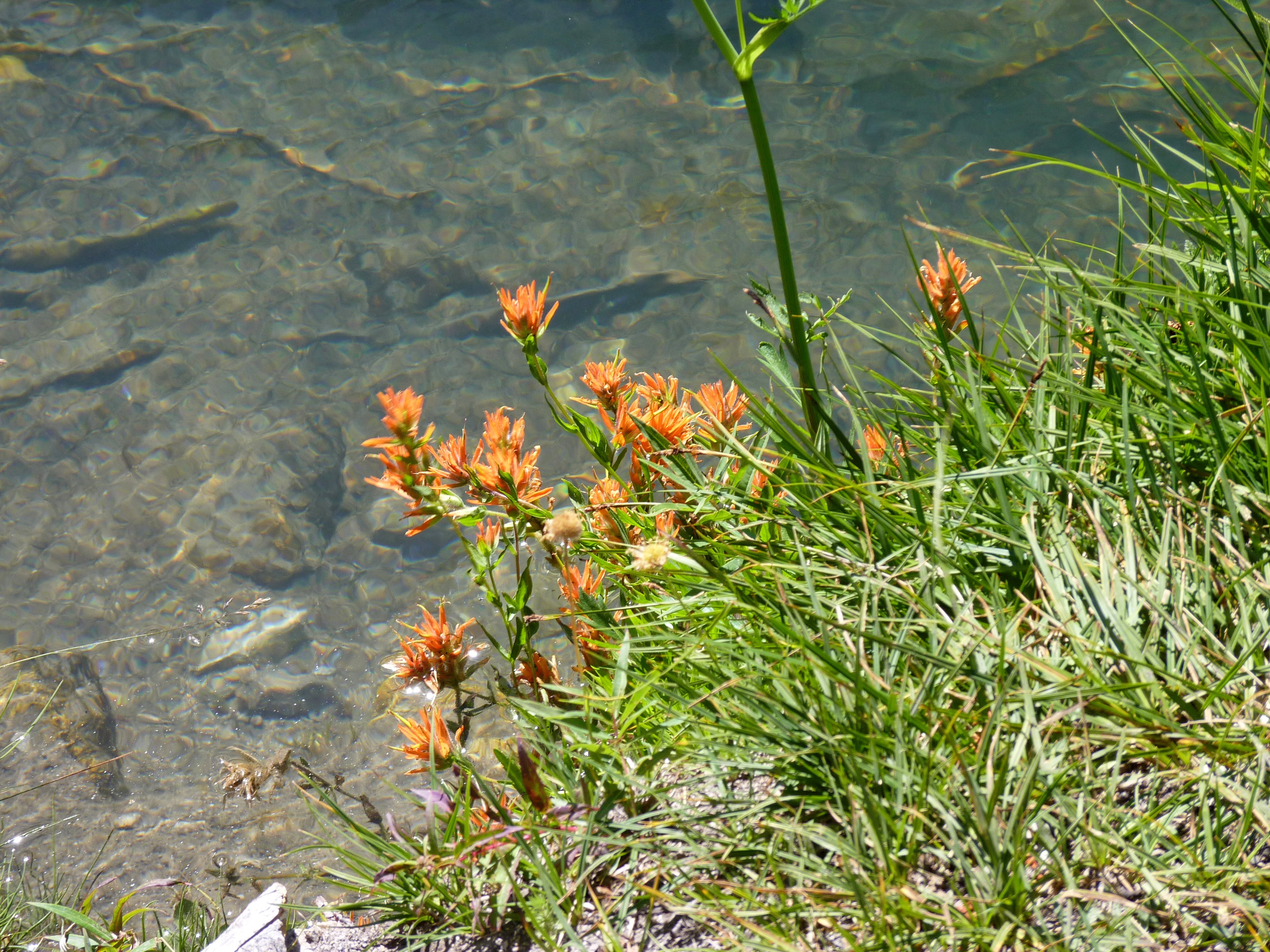
Paintbrush
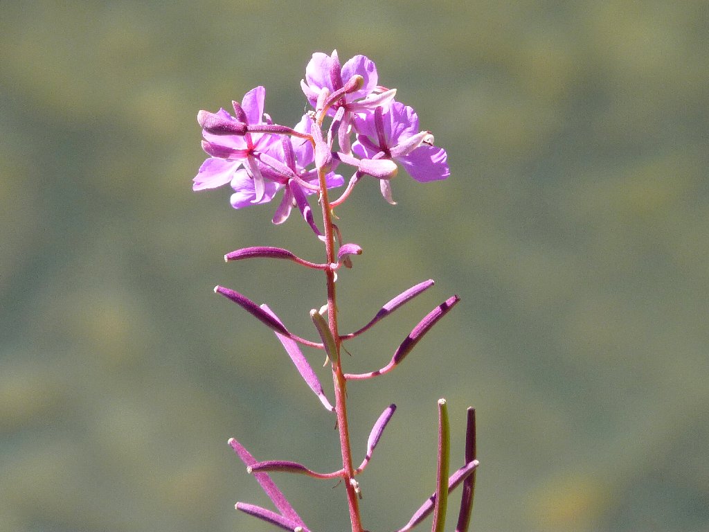
Fireweed
A rock-climber's paradise
It's mellow in the meadow
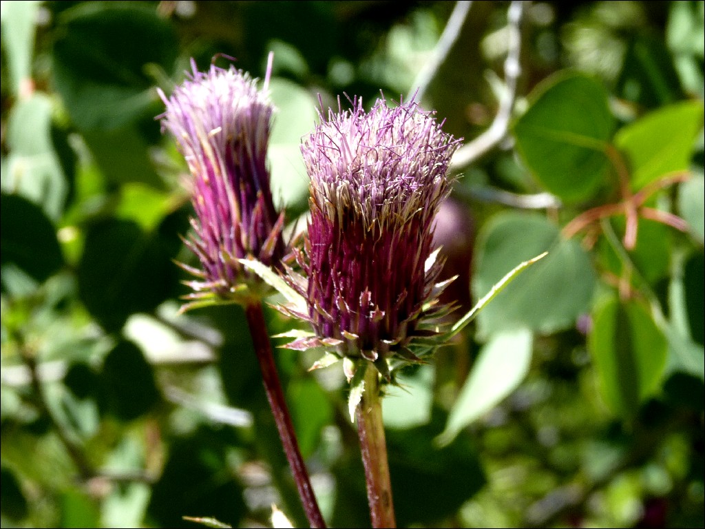
Anderson's Thistle
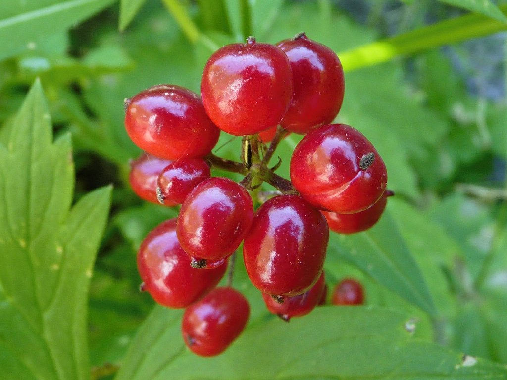
Baneberries
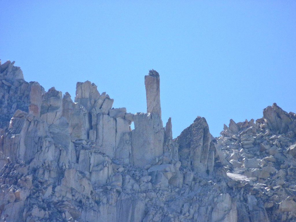
On a final backward look, I notice a little rectangular formation to
the right of Dragtooth, that I remember reading about. It is a
25-foot piece of granite known as The Doodad, a well-known
climbers' challenge first conquered in 1934.
Matterhorn Glacier on the left, Dragtooth Glacier on the right
The Doodad
Continuing out of the meadow, I discover that the postponed shots of the
falls aren't going to work out, for the sun has virtually set on the
north-facing cascade.
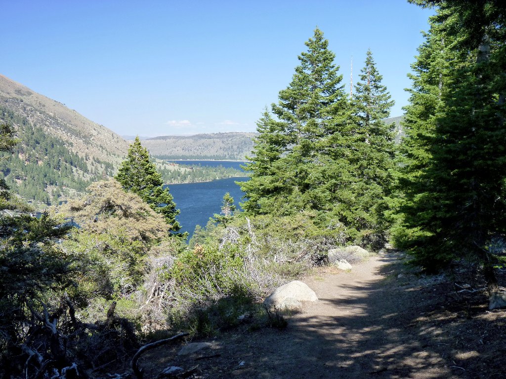
Twin Lakes
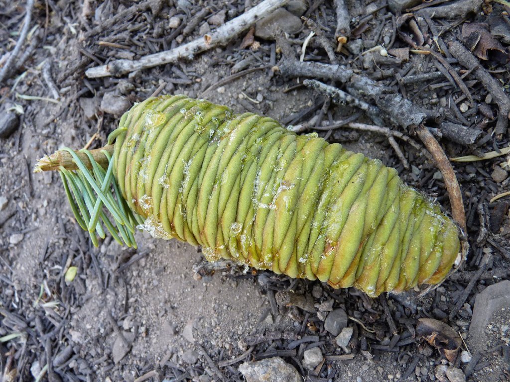
Some squirrel forgot his lunch of White Fir
Halfway down the switchbacks, the marina comes into view. I hadn't even noticed it on the way up, being apparently too busy following this unfamiliar trail.
The Twin Lakes Marina and Robinson Peak, 10793'
The trail is green near the bottom
A beaver has been here
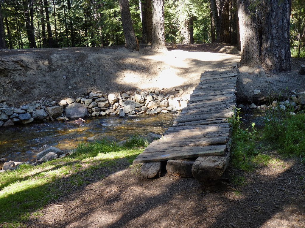
After passing the trailhead sign, I take a wrong turn, veering too far to the
right in a maze of well-worn paths. It takes some time to backtrack
up to a little footbridge that was not seen on the way in. Having no idea
how I actually got over here originally without that bridge, at least now I can
make my way through the campground and over to the car.
§: Wanting an in-depth interview with Sawtooth Ridge, that
is what I got. The steady ascent, toward the most spectacular rock
formations I have seen in the Sierra, is the stuff of an ideal hike.
Next time I will go the extra mile (and the extra thousand feet).
Try to be on this trail by early morning. That way, the views of
the east-facing cliffs will be better, and you will have more time
to explore the farthest reaches of beautiful Horse Creek Canyon.
| Scenery |  |
| Difficulty |  |
| Personality |  |
| Weather |  |
| Flowers | |
| Solitude |  |
