
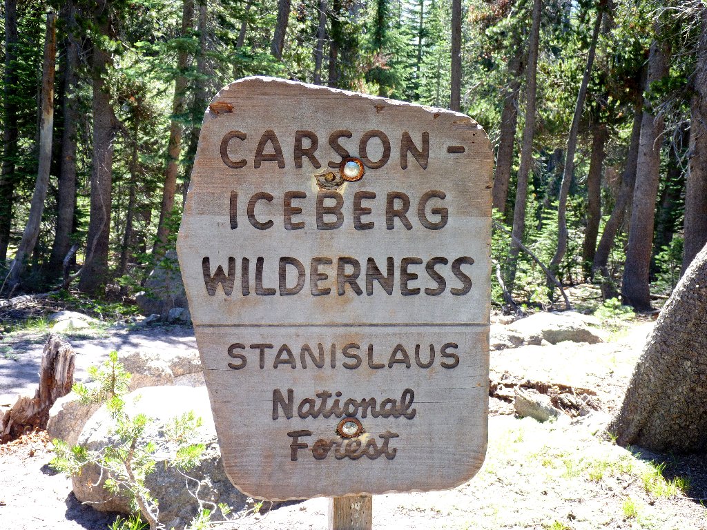
Carson-Iceberg Wilderness
|
Bull Run Lake - Heiser Lake Loop Carson-Iceberg Wilderness |
August 13, 2010
This is only my second foray into the Carson-Iceberg Wilderness.
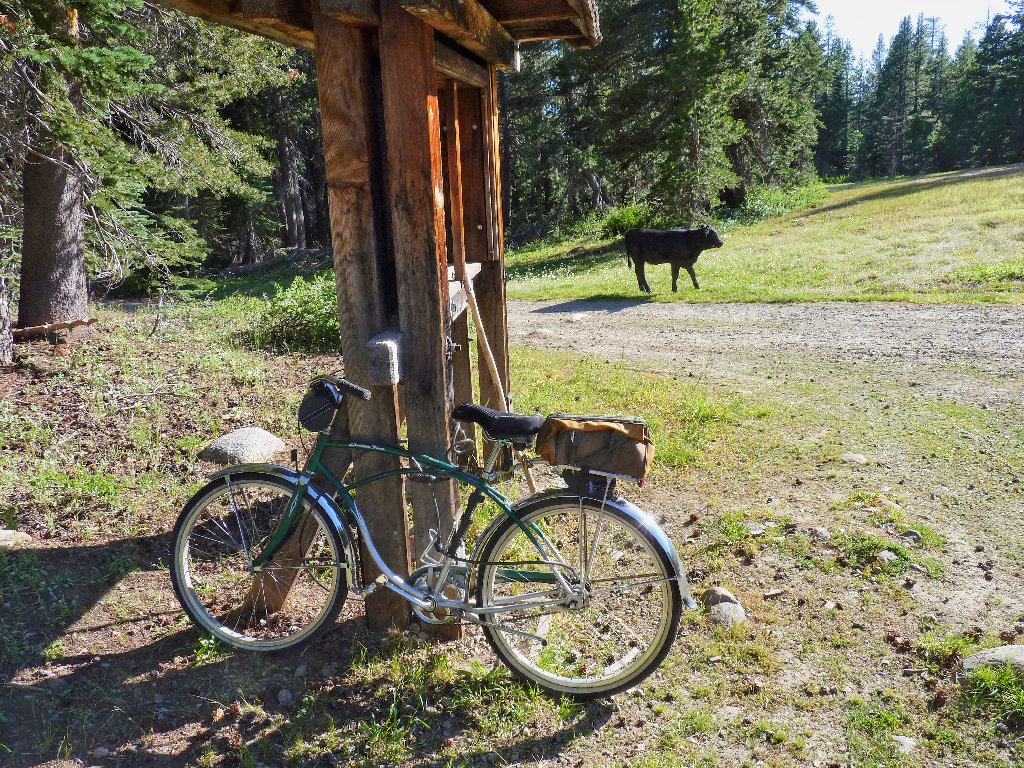
It will be my first experiment with a self-shuttle system; the plan
is to cover some road mileage on a bicycle, making a loop route possible.
Phase one goes fairly smoothly, as the two-mile distance is mostly
downhill. The short uphill sections are not steep enough to compel me
to dismount and walk my 50-pound street bike.
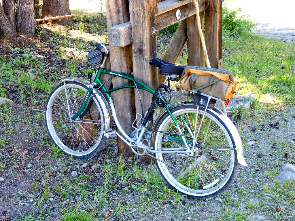
My trailhead
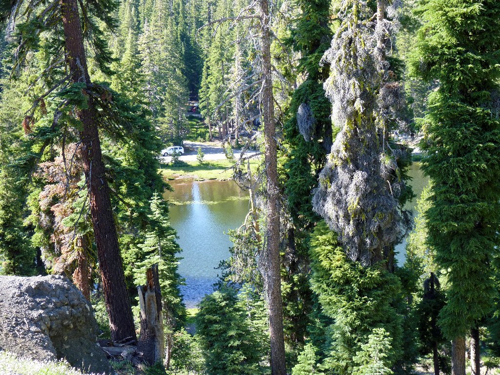
Locking the machine to the trail-indicator sign, I traipse down a dirt track for half a mile to the official trailhead at road's end. I could have ridden this portion as well, I suppose. From here the trail parallels a wire fence, behind which are the sounds of cows and cowbells. The meadow itself is uninteresting, its principal feature being a single cow lounging in the middle.
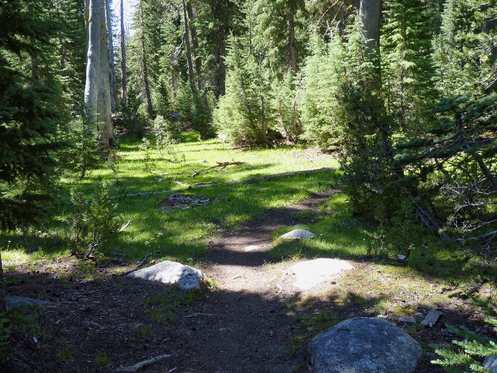
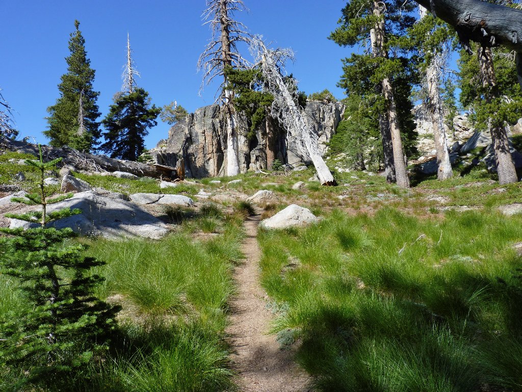
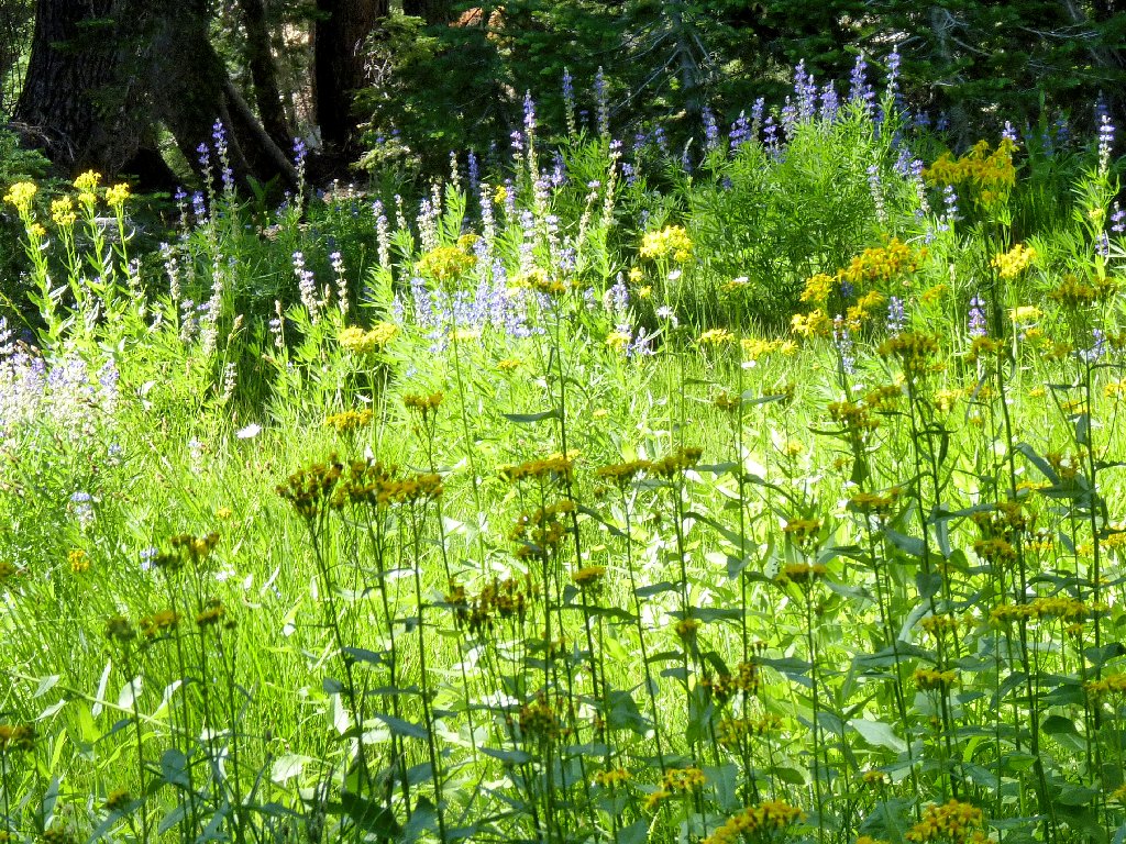
Gentle walking
Stanislaus Meadow
 It begins
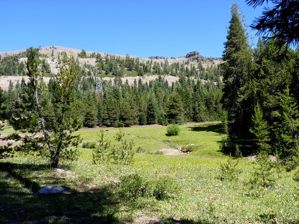
The route becomes more challenging
I overtake and pass a quartet of backpackers also headed for Bull Run Lake.
Their dog is most curious about me, yet well-behaved. If these
young folk weren't carrying heavy packs, I very likely would not have passed
them at all.
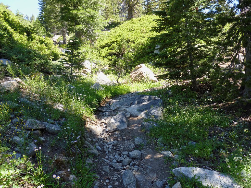
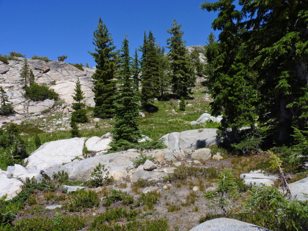
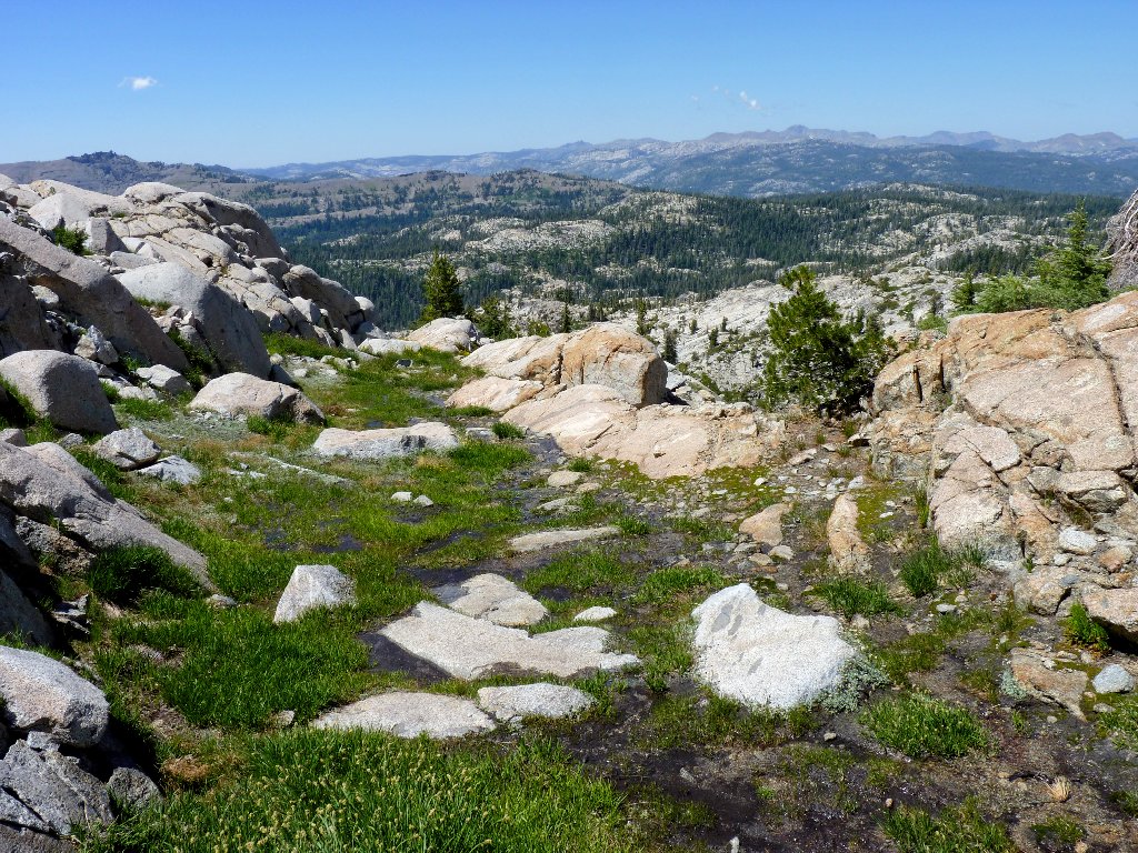
The trail having led me gently downhill to this point, it becomes steeper
and more interesting after crossing a boulder-laden dry wash.
Turning right at a junction, it is altogether a 900-foot climb to the lake.
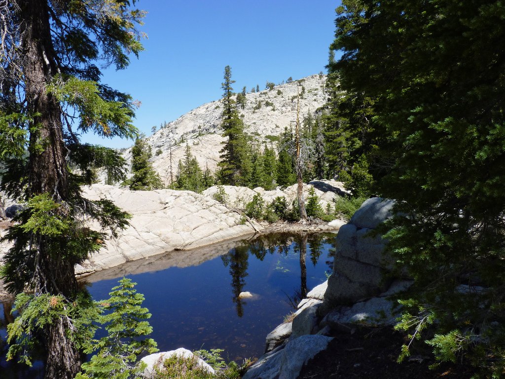
A no-name pond
The granite slab is the trail
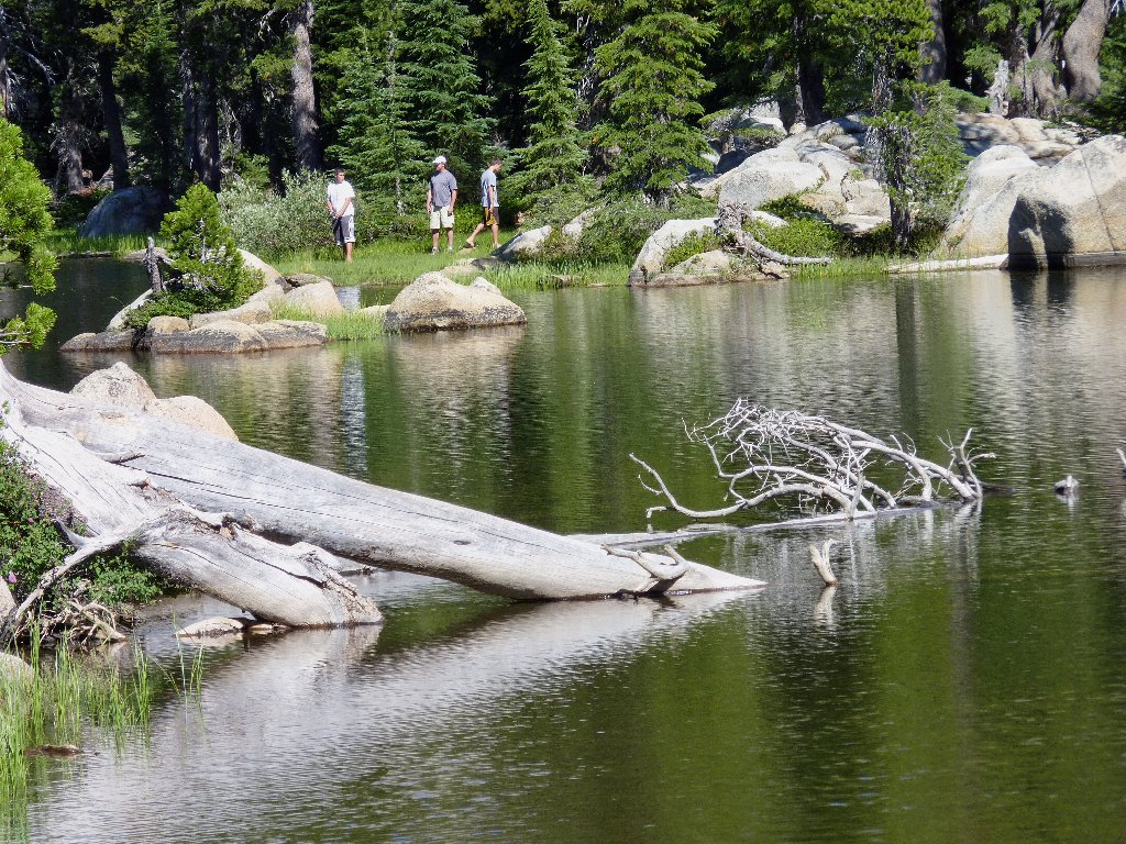
This setting is beautiful! A lone fisherman tries his luck from a big log jutting out into the water.
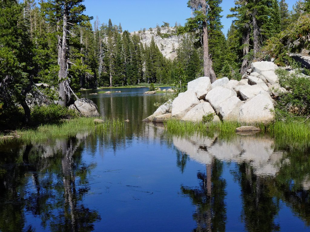
Bull Run Lake
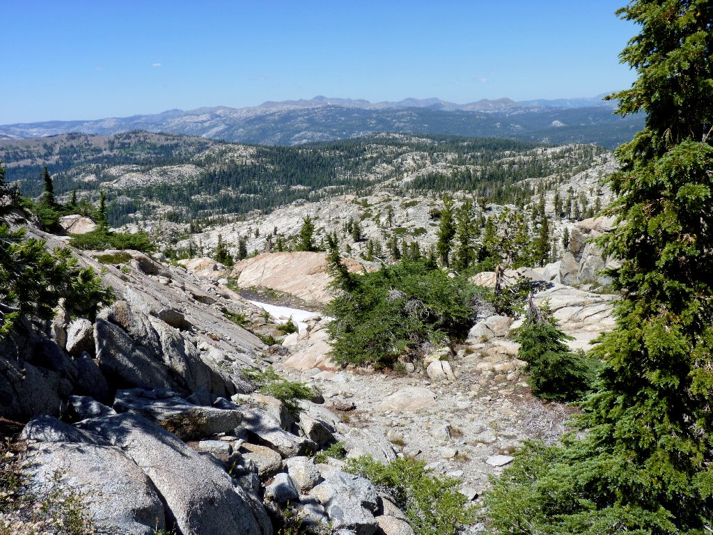
Today's trek represents another 'first' for me, in that I actually have brought
along a GPS unit replete with waypoints downloaded from my great National Geographic
TOPO! software. The plan is to backtrack about a quarter-mile, then cut
northeast directly toward Heiser Lake. Research on maps and Google Earth has
suggested that the detour would be negotiable with minimal up and downs, and that it
could actually save as much as a mile of walking. Of course, the satellite views
do not show whether the ground is smooth or riddled with sharp boulders.
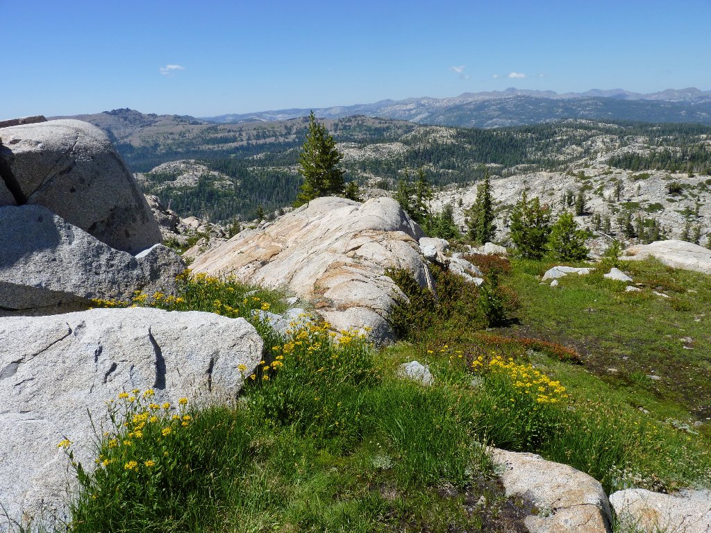
First, however, I must explore the verdant meadow upstream of the lake, which often proves to be the prettiest spot in any such area.
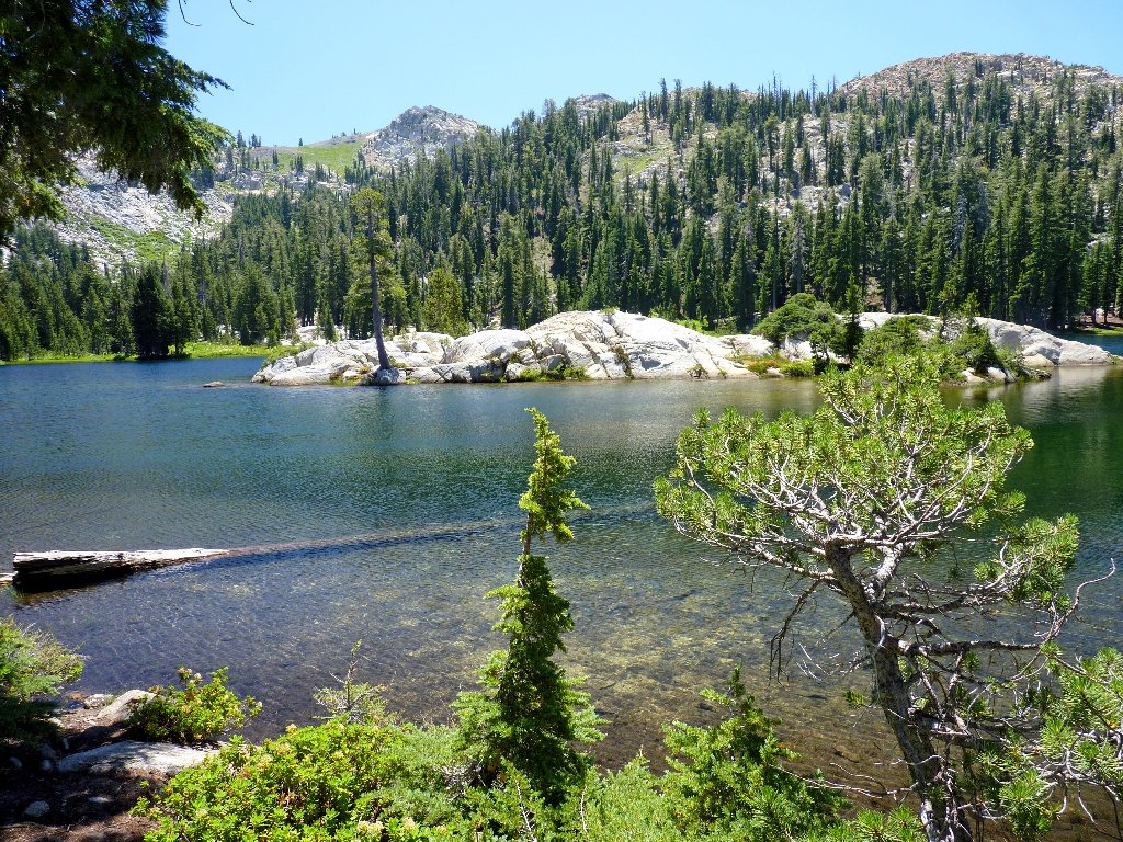
The lake's solitary island is solid rock
The meadow beckons
Now that I have come this far, I am loath to stop. Looming ahead
is a saddle that doesn't look very high. Perhaps I could simply shortcut
over that hill and catch my mapped cross-country route on the other
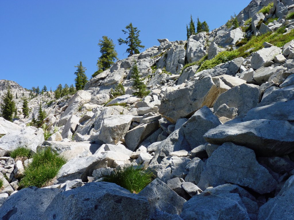
side. Abandoning caution to the winds, I take the plunge. That
talus jumble looks particularly uninviting, but there is a brushy slope to
its left that appears to be passable.
This doesn't look so hard
The low bushes pose no problem, but the going is quite steep, necessitating numerous stops for breathers. It would be much nicer if any water still were flowing here; today there is only enough moisture to support a few flowers.
Many rest stops are involved
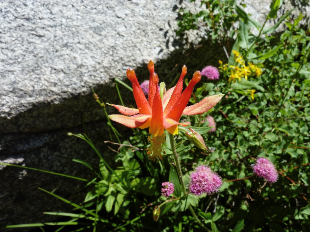
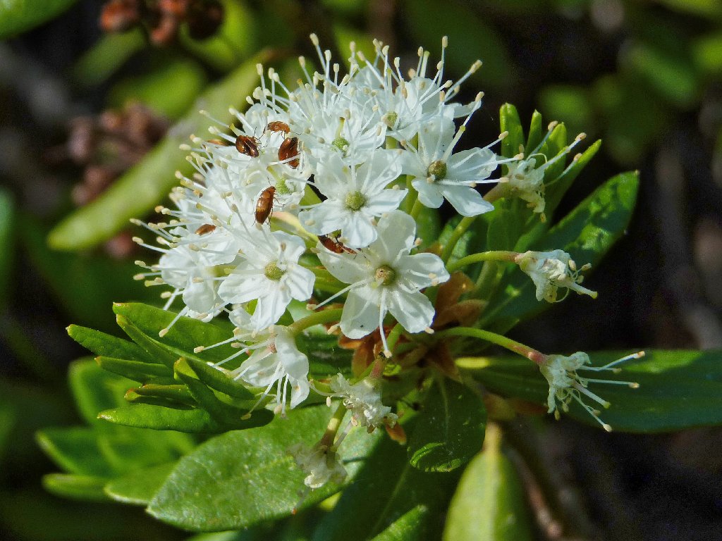
Crimson Columbine
I sure hope that this detour works out, because I would hate to have to retrace my steps at the waste of all this effort. Surely it cannot be much farther now.
Looking back at Bull Run Lake
It is pretty interesting up here
The top of the saddle finally is reached after a 500-foot scramble,
some of which is hand over hand. Why do I do these things to myself?
I head north across some greenery, hoping to achieve a vantage point from which
I actually might see what lies ahead.
Nearing the top?
Now what?
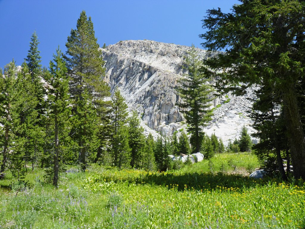
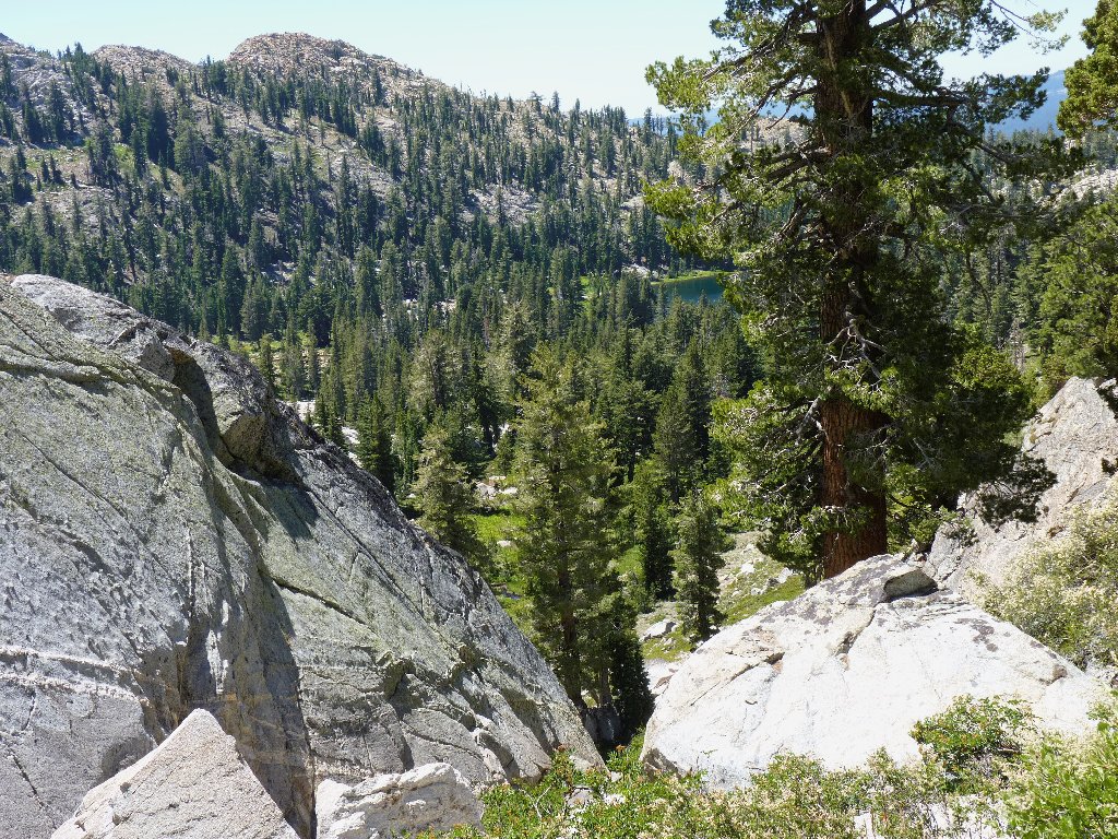
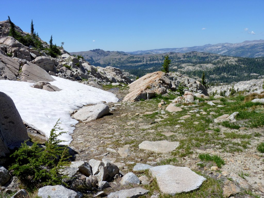
Well, there it is — the grand vista that I sought; yet although I can see twenty miles northward, there is no hint as to the whereabouts of Heiser Lake. Because the only way to go is down, I head for the snow bank just below.
Round Top and the Carson Pass area in the distance
After amusing myself by walking on the only snow that I have seen all day,
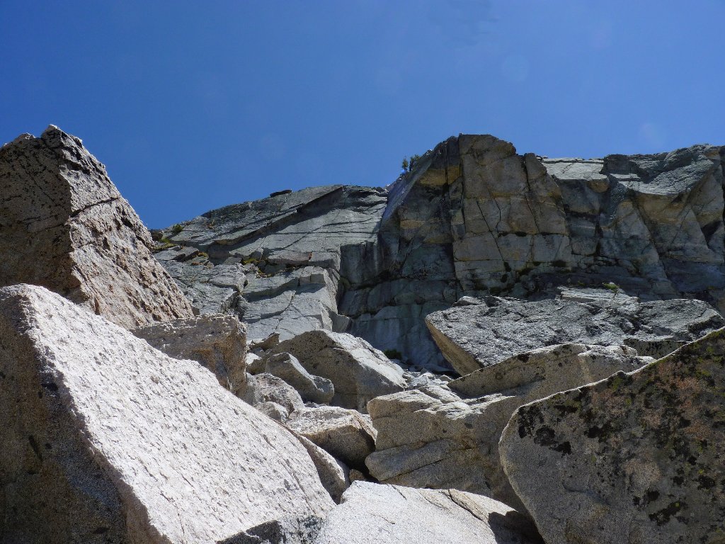
I discover that I am atop a big cliff, with no reasonable way down.
Even worse, my GPS says that I am no closer to Heiser Lake than I was an hour
ago! Bummer. Maybe the fact that this is Friday the
13th has something to do with it.
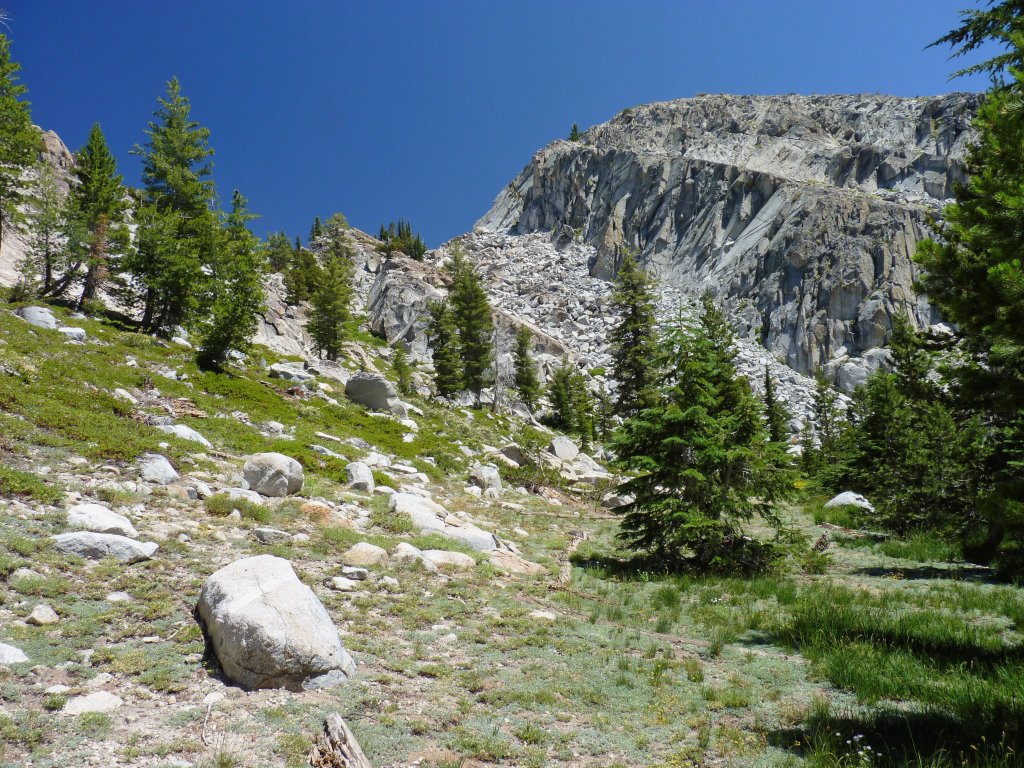
In any case, the immediate task is to handle the rocky slope.
I would be happier right now if I had some company
My GPS is pointing at the next hill. Ugh.
The path of least resistance is the wet green groove that is draining the
snow mass. This is a good-feeling place; however, my current
minor disorientation somehow prevents me from fully enjoying this special spot.
Heidi, where are you?
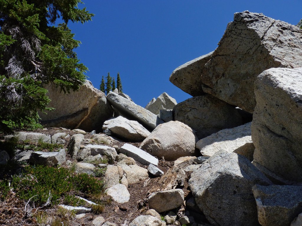
After quite a bit of searching, I find a way down the slope that is difficult,
but not exposed. The only real danger is that of a possible re-injury
to my still-sore ankle that was sprained a few weeks ago.
End of the easy going
My wonderful route down the slope
From here I can view most of the alternative route that was suggested by
my earlier planning. It appears that that choice would have been
relatively painless after all. Now that I am off the cliff, I am able
to relax a bit. I am not actually lost, for I know that the trail is
down to the left about half a mile, and the destination is about
three-quarters of a mile straight ahead.
Pressing onward, I cross up and over two more little hills.
The GPS is reading just 0.2 miles now. Could it be true?
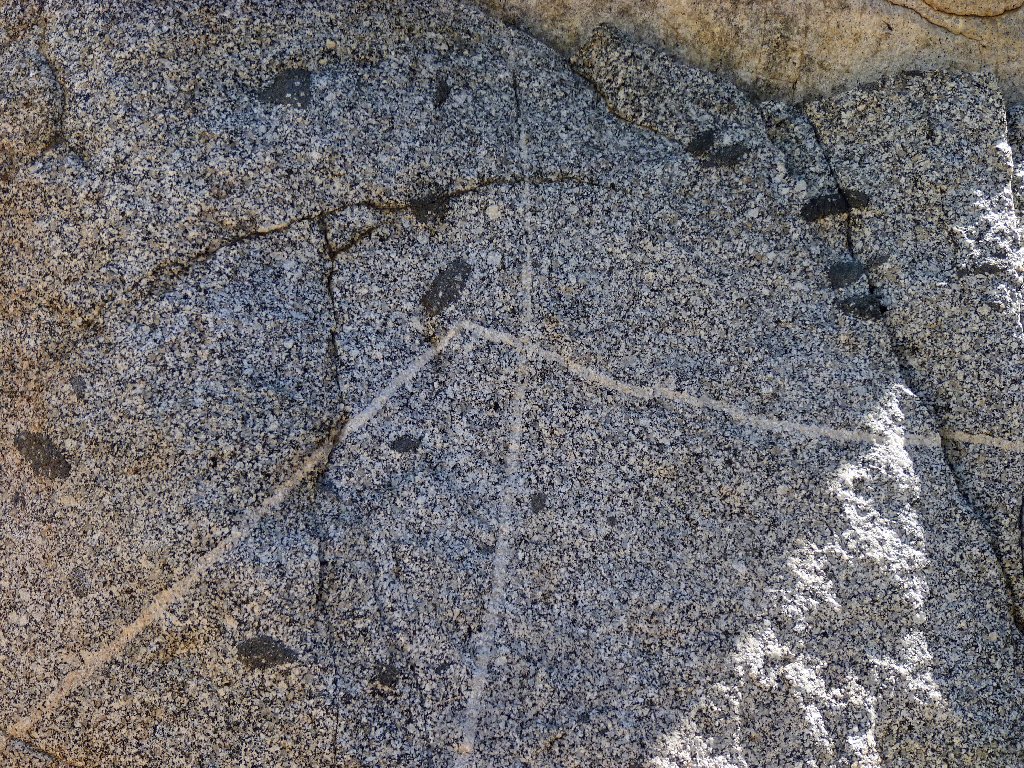
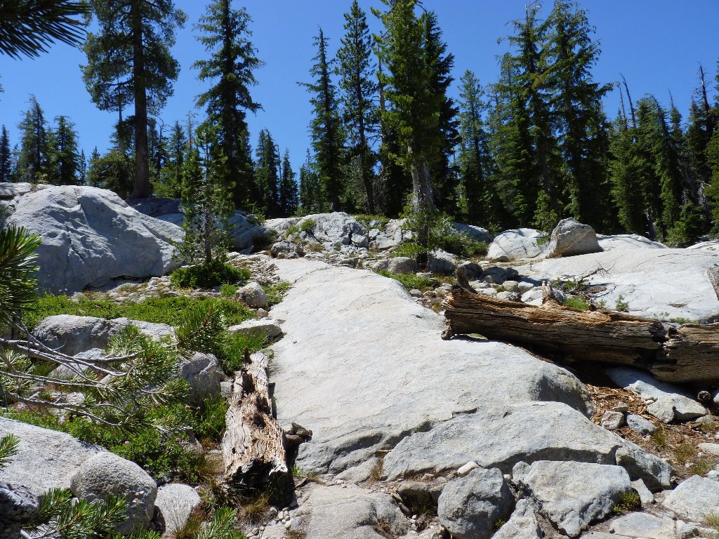
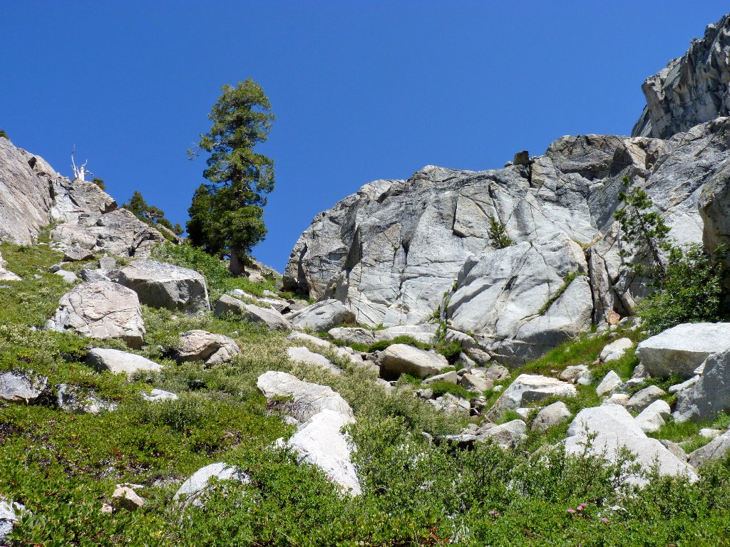
Little dikes in the rock
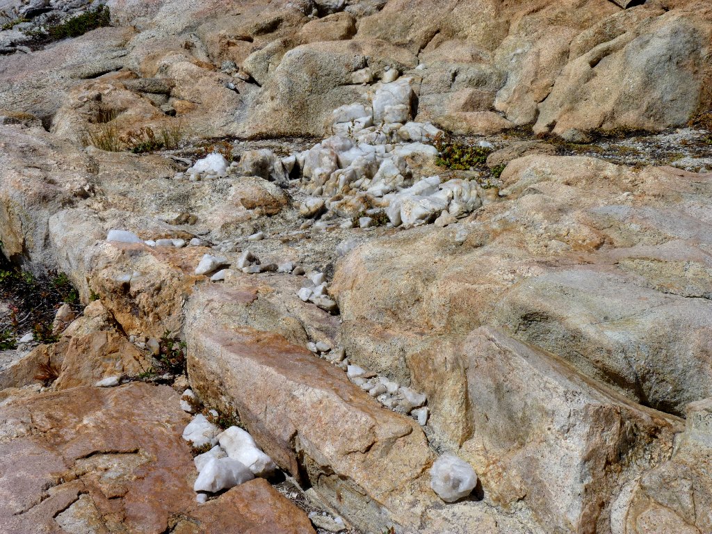
Quartz deposits are lying all over the place
Stopping to photograph some flowers, I consult my device for the hundredth time. 200 feet, it says; yet there is no hint of the objective.
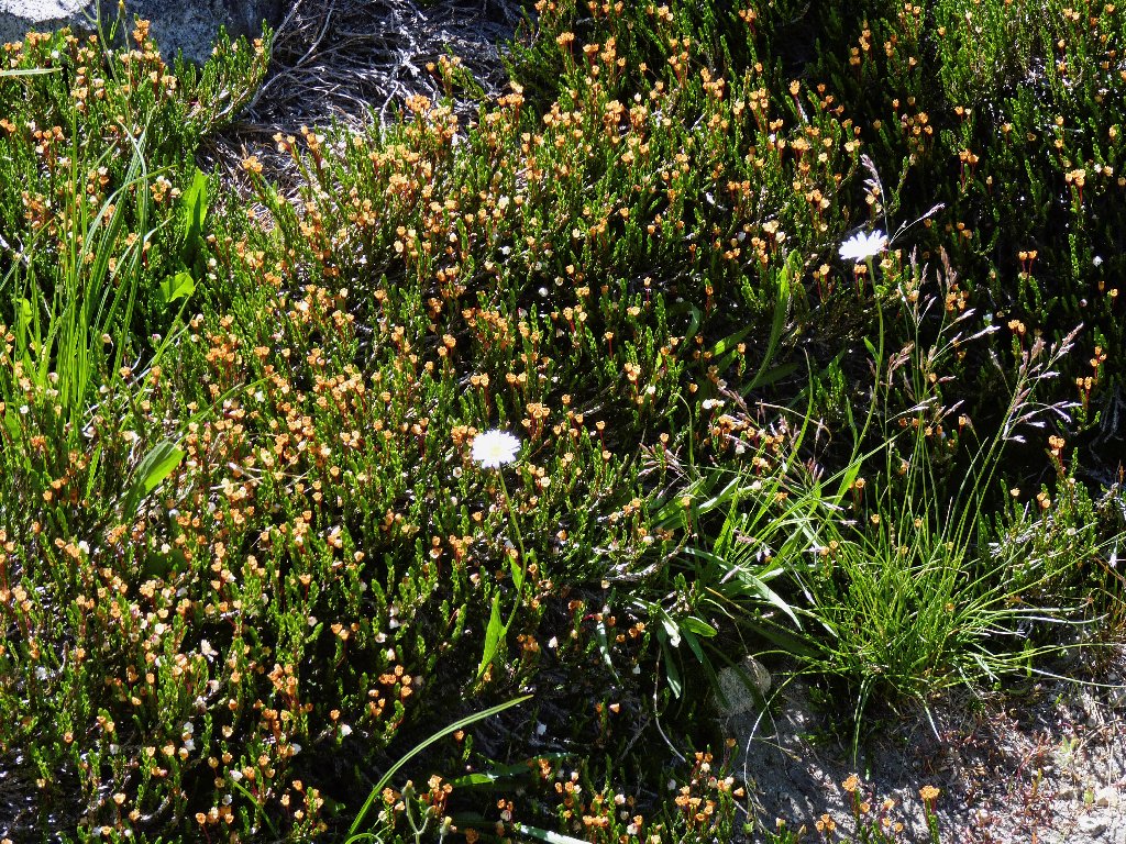
Aged White Mountain Heather
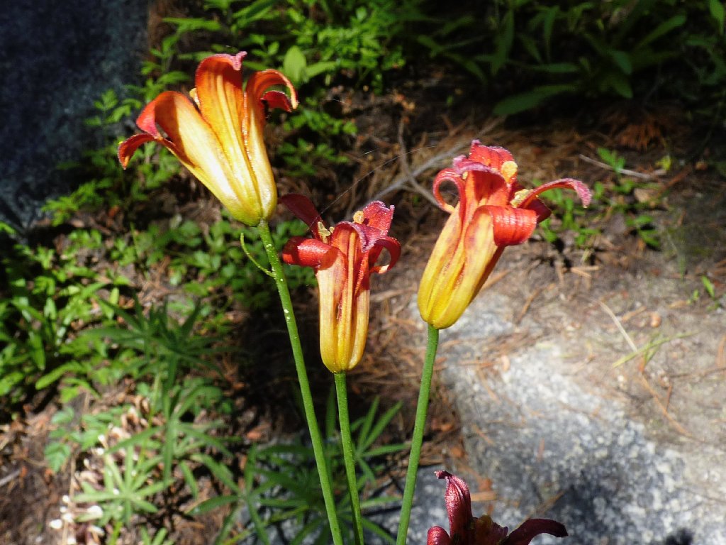
Alpine Lilies
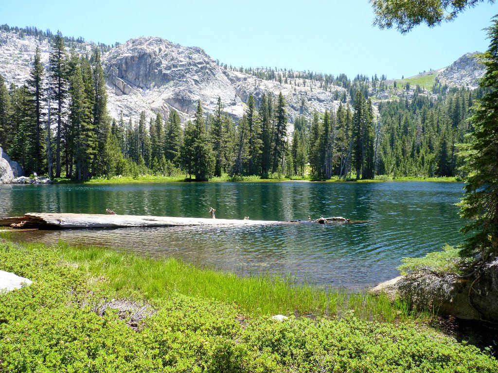
Suddenly a lake appears, exactly where it is supposed to be! Lacking the
spectacular setting of Bull Run Lake, it is pleasant nonetheless. I give my
feet a well-earned dunk in the water next to a couple of fishers whose
campsite is nearby.
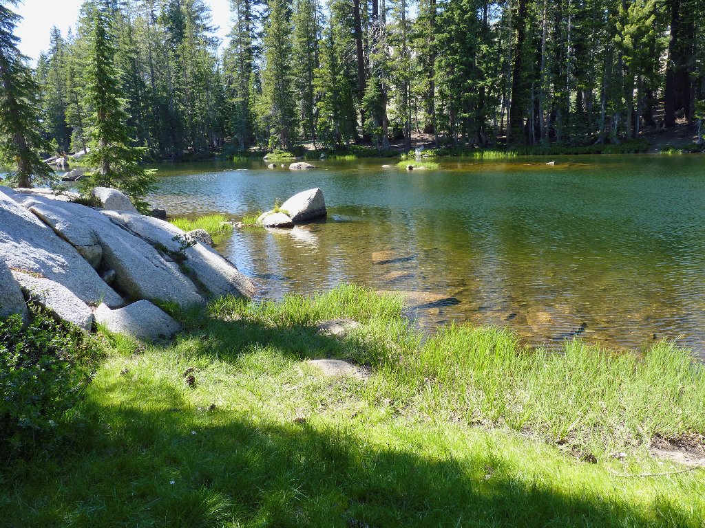
Heiser Lake
Labrador Tea
This lake is long and skinny
Five guys are bonding over there
My map says that the trail is on the other side of the lake.
Locating it, I consult the GPS again. It reads 1.3 miles to trail's
end at Mosquito Lake, but of course the walk will be longer than that.
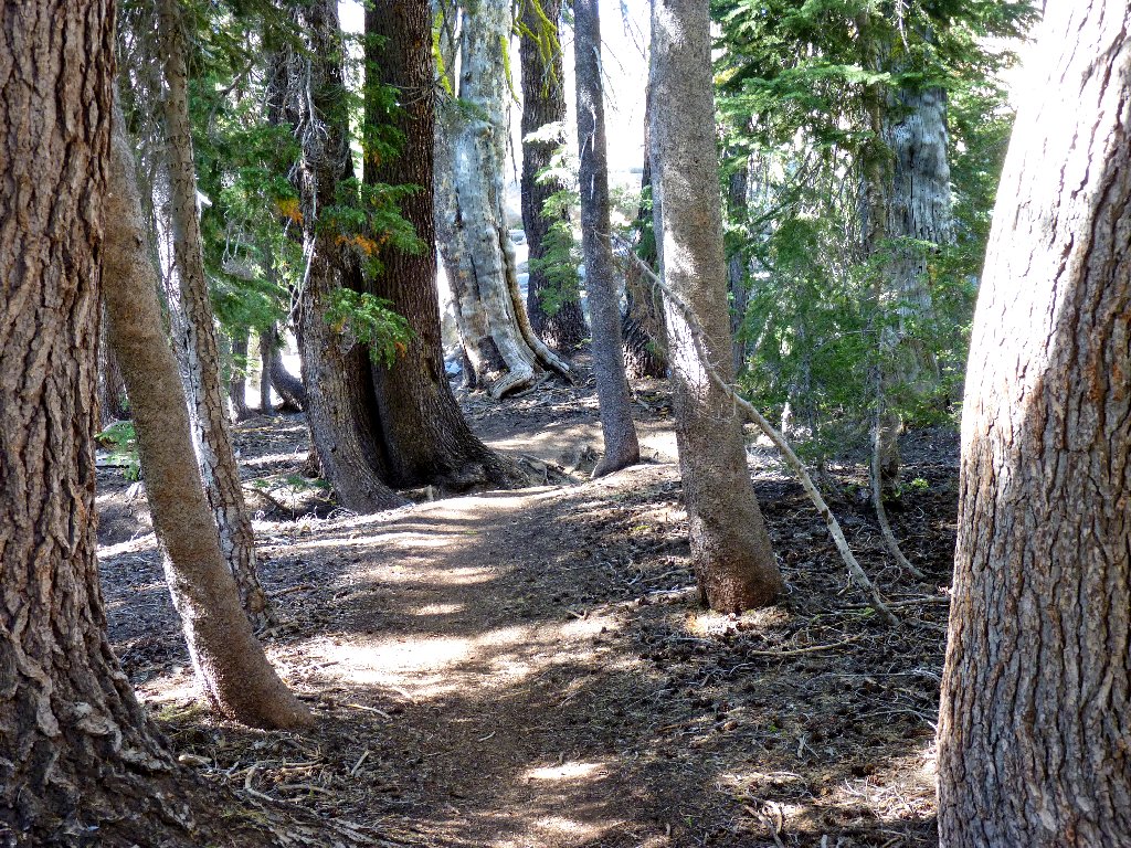
A nice trail segment
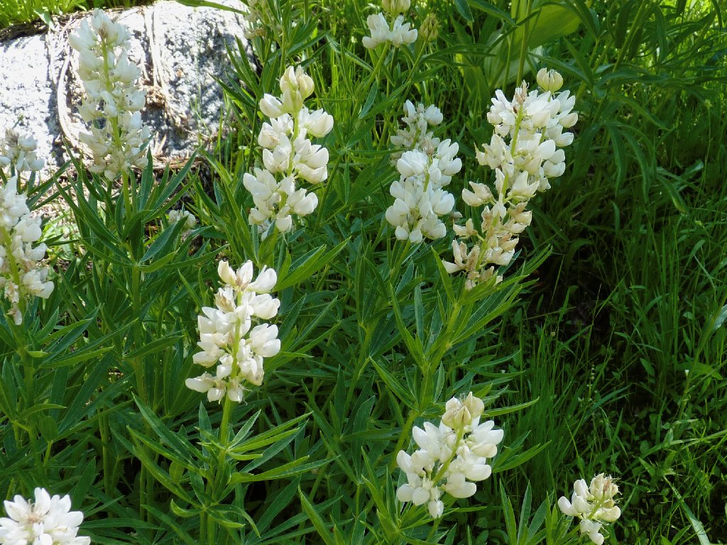
White-colored Lupine — a rare treat
Trailside garden
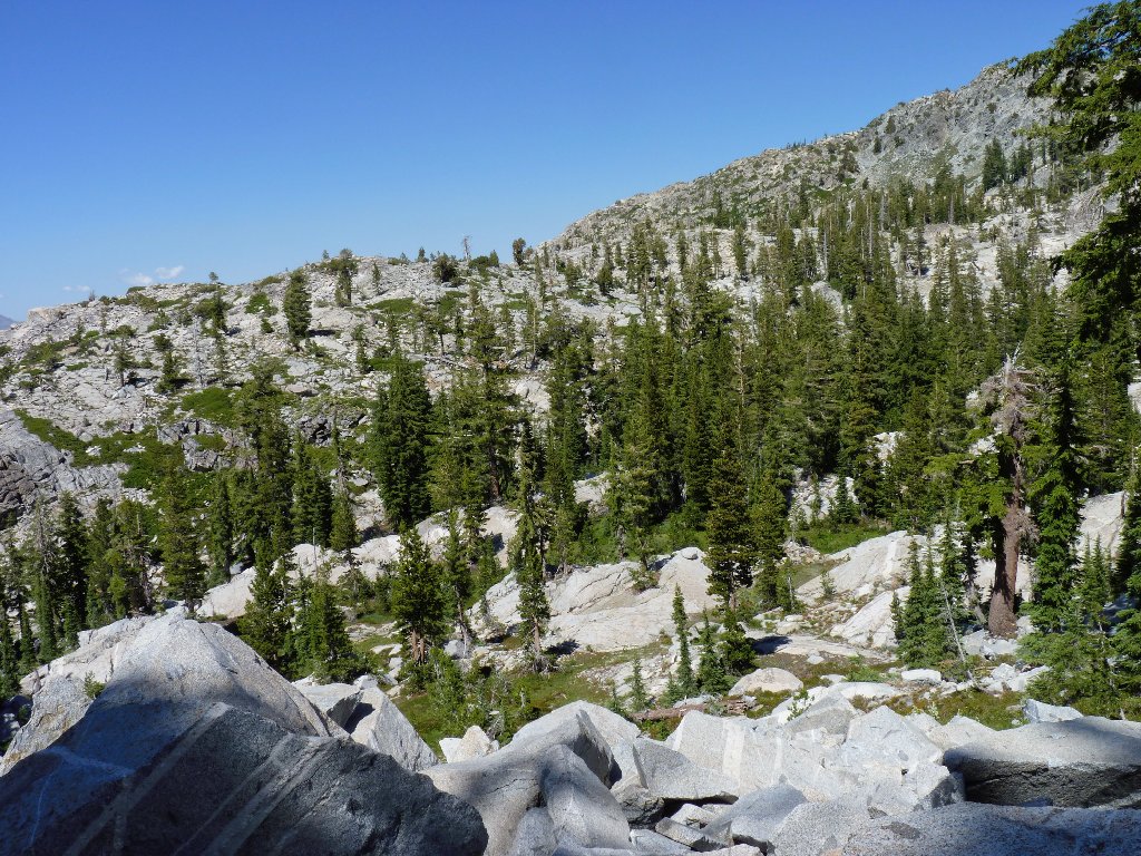
The remaining walk is an up-and-down uneventful affair, totally
forested. The actual distance to the highway is 2.2 miles.
The late-afternoon dappled sunlight is so pleasant
At Mosquito Lake, a pleasant couple in lawn chairs entices me to complete an interview regarding my wilderness experience. One of the questions is whether I came here to relax. Hah! The couple mentions having seen my bicycle parked two miles away, and had wondered how it could have gotten there.
I would like to take these folks' pictures for my journal, but we are
sidetracked by a young man who interrupts with questions about mountain
biking. When informed that no wheeled vehicles are permitted in federal
wilderness areas, he asks, "Oh, is this a wilderness trail?"
I find that comment to be rather absurd, because the sign he has just been
staring at is captioned in big letters,
"CARSON-ICEBERG WILDERNESS". Go figure.
Mosquito Lake and Highway-4
It's still here!
§: The bicycle shuttle worked out well, and my new GPS proved
invaluable on its maiden journey. In contrast, most of the six miles of
maintained trail were scenically sub-par.
I was a bit anxious at times during my cross-country adventure, partly
because of a tender ankle. Also, a reasonably close inspection of my
topo map would have indicated the relative difficulty of the chosen detour.
In retrospect, however, my trans-mountain trek was an unequivocal
success. With the exception of the Bull Run Lake environs, the prettiest
parts of the hike were on the high slopes where possibly 'no man has gone
before.' For that experience I have added something to the rating.
| Scenery |  |
| Difficulty |  |
| Personality | |
| Adventure |  |
| Flowers |  |
| Solitude |  |
