
Eldorado NF
|
Bloodsucker Lake Eldorado NF |
November 4, 2009
This will be my 50th hike of the year, which is easily a personal record. As the weather is cooperating nicely, I head up into the mountains once again, hopeful of accomplishing something a bit different today.
A mile or so north of the Lyons Creek crossing on Wrights Road, I turn right
onto Forest Road 11N28, wondering whether it is reasonably negotiable by
car. It is. Although a couple of spots would have been problematical
without good clearance, some three-plus miles of relatively painless travel
take me to the end of the road. It is approaching 60° as I arrive at
10 a.m.
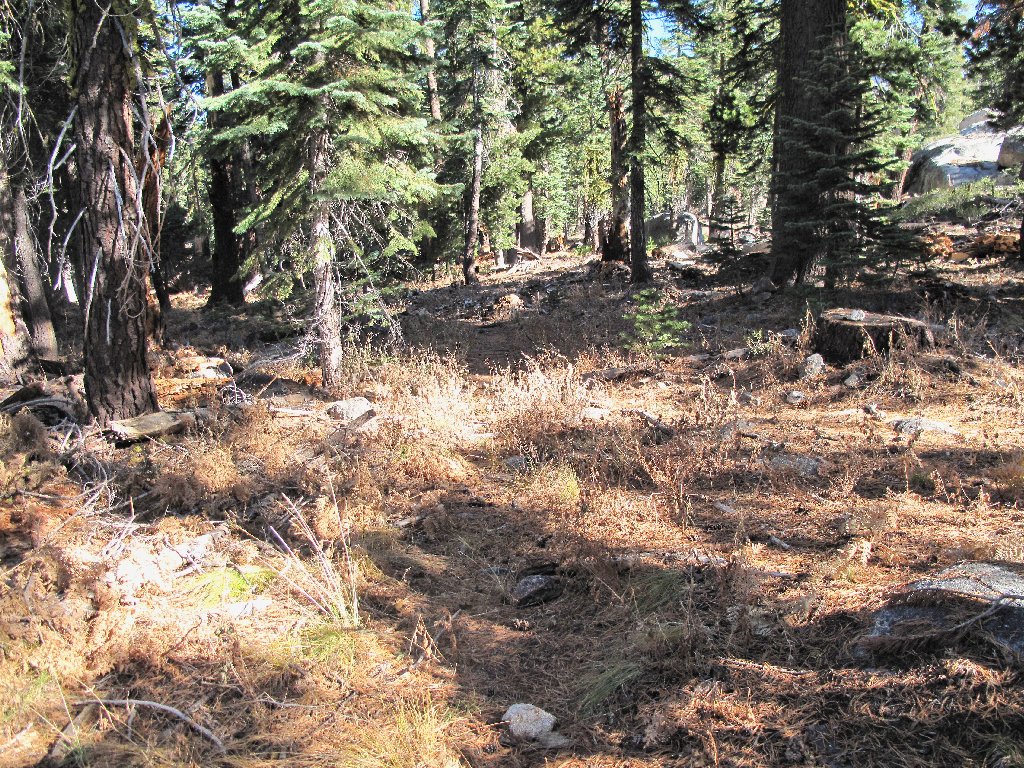
According to my topo map, a short half-mile walk will connect me with an established pathway to my objective, with little elevation change. That proves to be the case. Spotting a dry pond to the right, I know from the map that I must veer north when the trail appears; surely enough, a signed junction is close at hand. The trail itself is vague and needs some maintenance, but it isn't too difficult to follow.
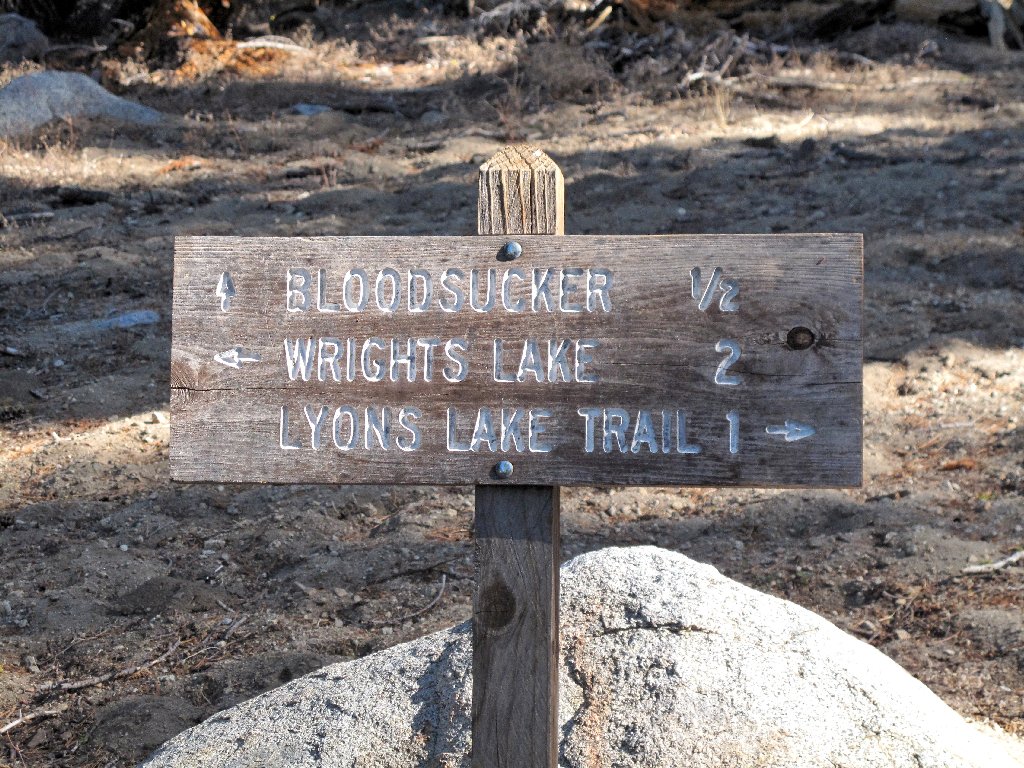
The sign's "½ mile" designation seems like an underestimate,
but I quickly reach the lake anyway.
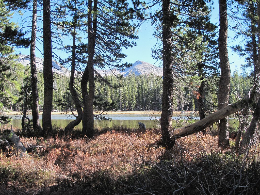
Bloodsucker Lake and Pyramid Peak, 9984'
This body is so named because it does indeed support a colony of leeches. No swimming here! And no fish, either. To my disappointment, none of the lake's infamous inhabitants are in evidence as I explore the southern shore.
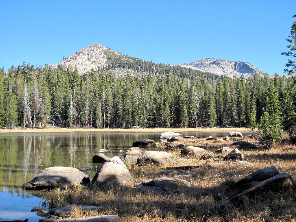
Blue Mountain, 8773'
The leeches are hiding
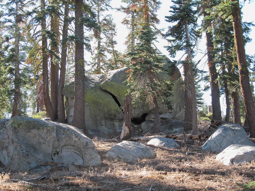
On the return I walk through the dry pond, then head for a big boulder that looks vaguely familiar. Continuing in what I believe to be the correct direction, I am somewhat distressed at not having spotted any of the markers that I had placed earlier, including sticks propped up unnaturally against flat rocks. Eventually realizing that I have drifted too far southward, I am content to continue a longish downhill trek toward a junction with the Lyons Creek Trail.
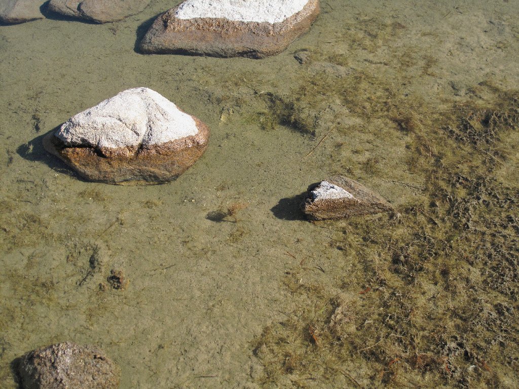
This pond is in blue on the map
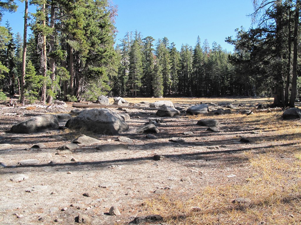
This is where I got off-track
In truth, I had an ulterior motive for visiting this particular spot; I'll share the details on a future outing. But for now, to make a long story short, I incur another mile or more of scrambling over brush and huge fallen trees, plus an additional mile on two different roads. Somewhere in the jungle I even lose my map, although it has been pretty much memorized by now.
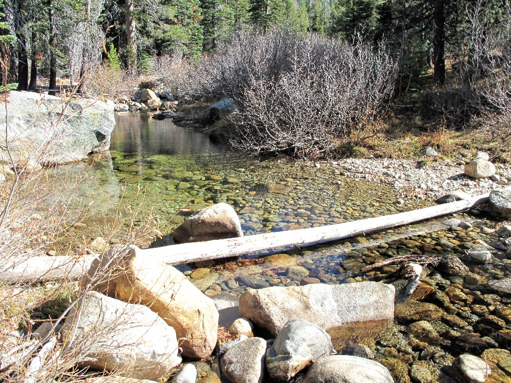
Lyons Creek is barely flowing
§: Well, I wanted something unusual today, and I certainly
got it. While traipsing through the forest with no navigational aid
excepting the position of the sun, there was adequate opportunity for
contemplation of the breakdown in trip-preparedness. In the
process, I managed to triple the length of the return leg and quintuple
the required elevation gain. You can do better. Bring a compass
or GPS, and don't leave it in the car.
| Scenery |  |
| Difficulty |  |
| Personality | |
| Solitude |  |
 |
September 2021: The route up to the lake and along its eastern side has burned. |
