
Tahoe NF
|
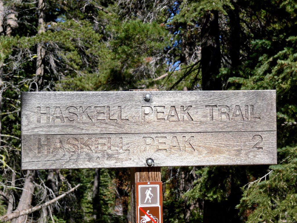
Haskell Peak Tahoe NF |
November 1, 2009
Having already explored Devils Postpile today about forty miles west of
here, I am slowly making my way toward Reno to retrieve my spouse, who has been
babysitting a retriever, of all things. It is another great fall day in
the Sierra — a calm and sunny 50 degrees.
I am delighted to see two other cars at the trailhead. This business of being totally alone in the middle of nowhere does get old after a while, and it never is my preferred scenario. Another vehicle arrives just as I start up a trail which clearly is not heavily used. In fact, there are several spots where some maintenance is in order.
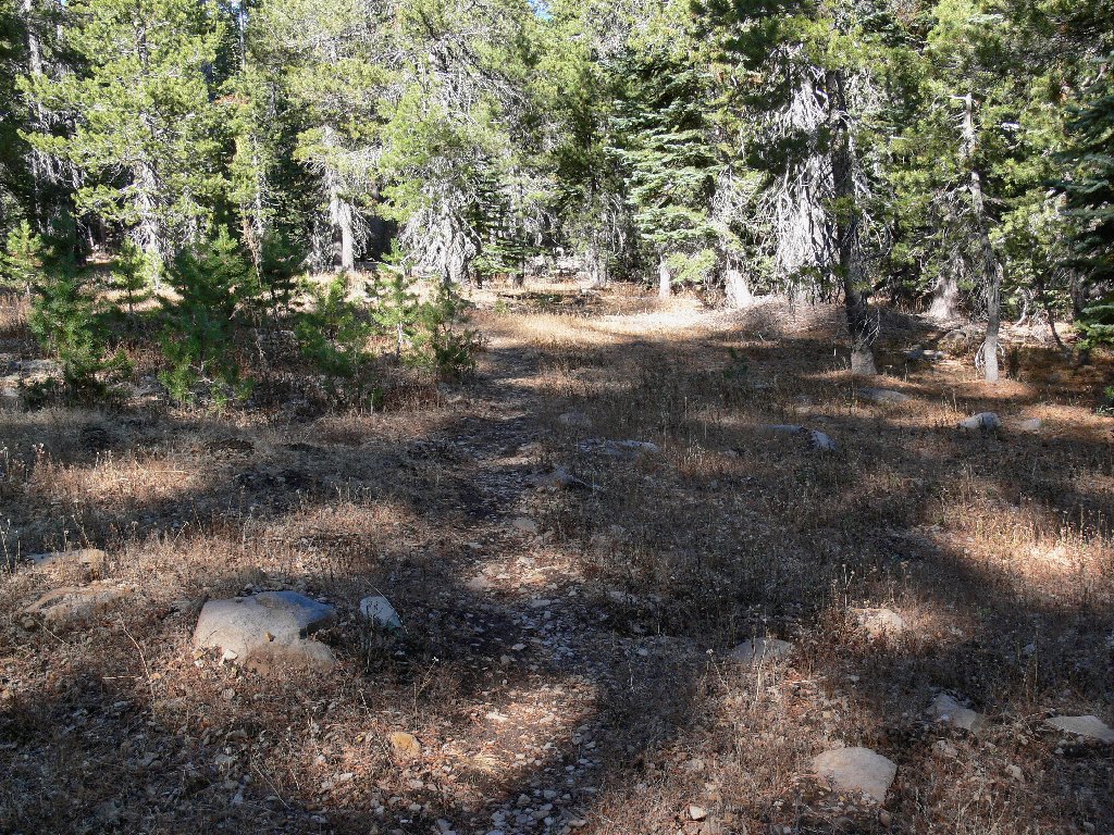
Mellow going
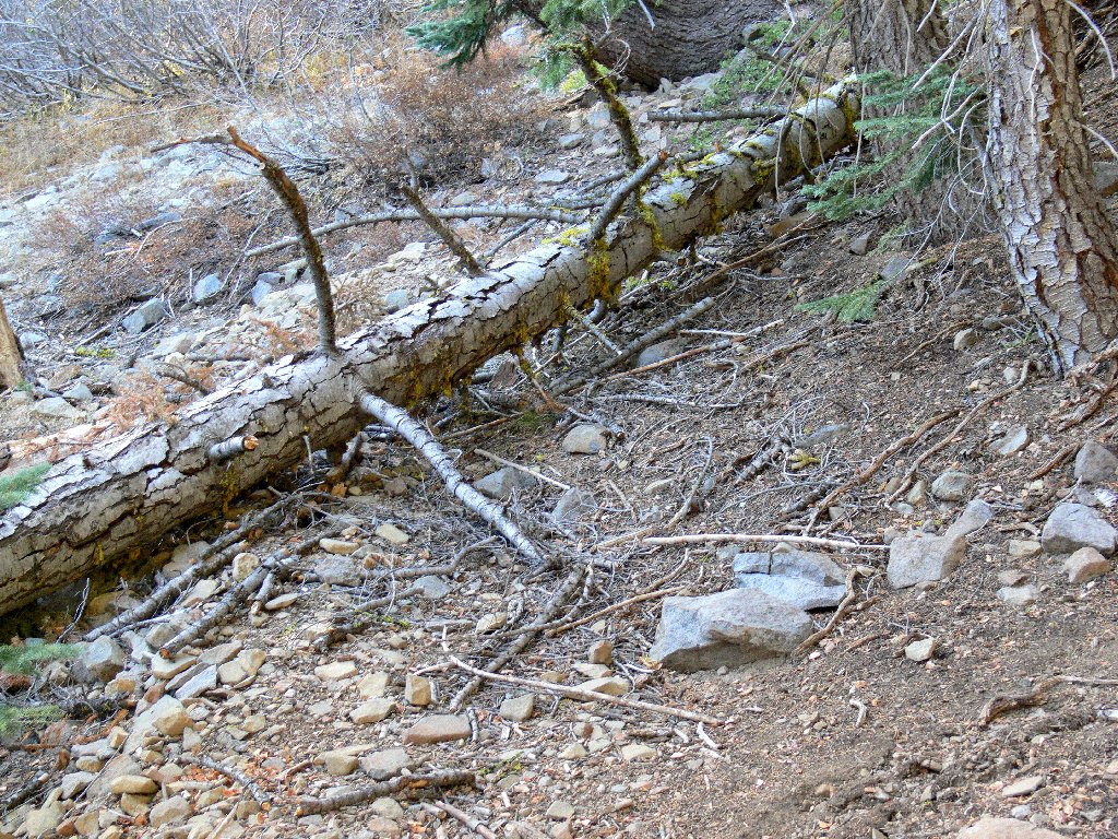
This log has blocked the trail for quite a while
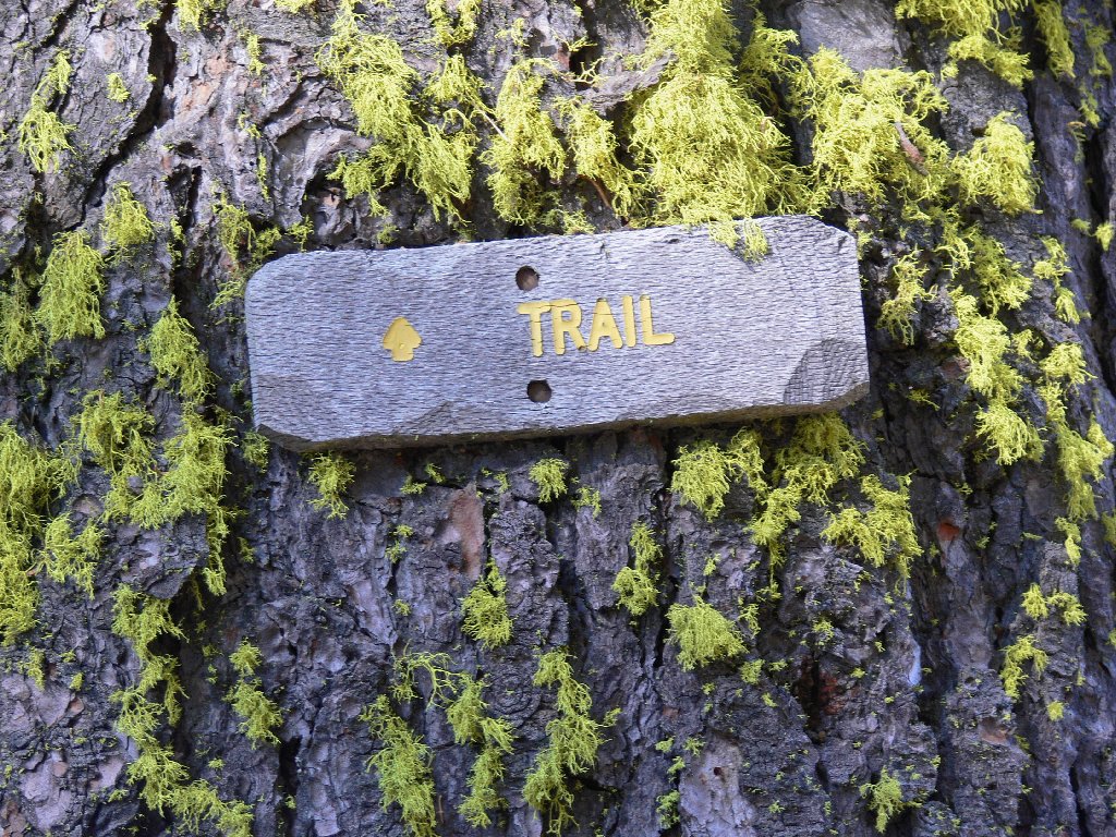
A pleasant little route indicator is nailed to a tree. I miss the
old-fashioned "i" blazes, however.
Although they seem to have been deemed environmentally incorrect, such useful
aids never bothered this staunch environmentalist in the slightest.
In any case, this anchored marker will still be around long after a
ground-based signpost would have rotted and fallen down. I like
the thoughtful notching of the wood to help it look more natural.
I stop to doff my sweatshirt, because it is making me sweat, of all things;
yet ten minutes later I put it back on. It seems that, for me at least,
50 degrees is right on the cusp of the comfort zone.
During a rest break, I chat with hiker Claude from Grass Valley, who has misplaced his knife. I promise to watch for it.
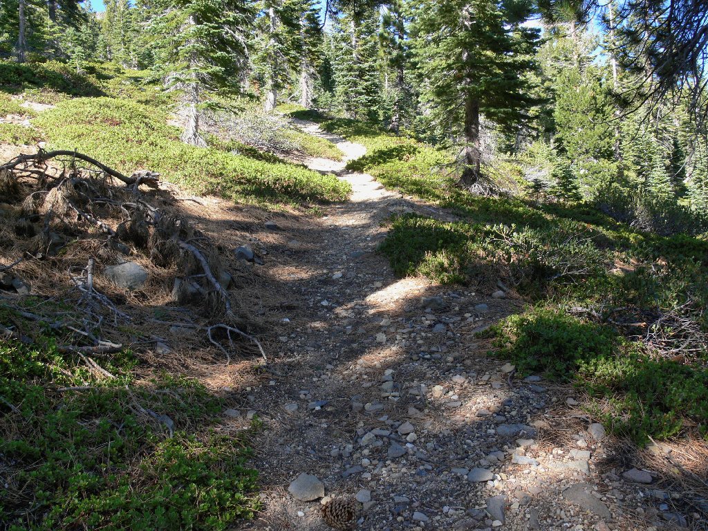
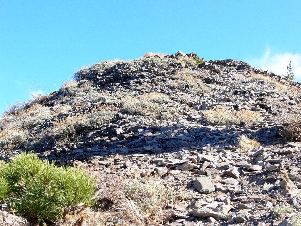
The trail is moderately steep throughout
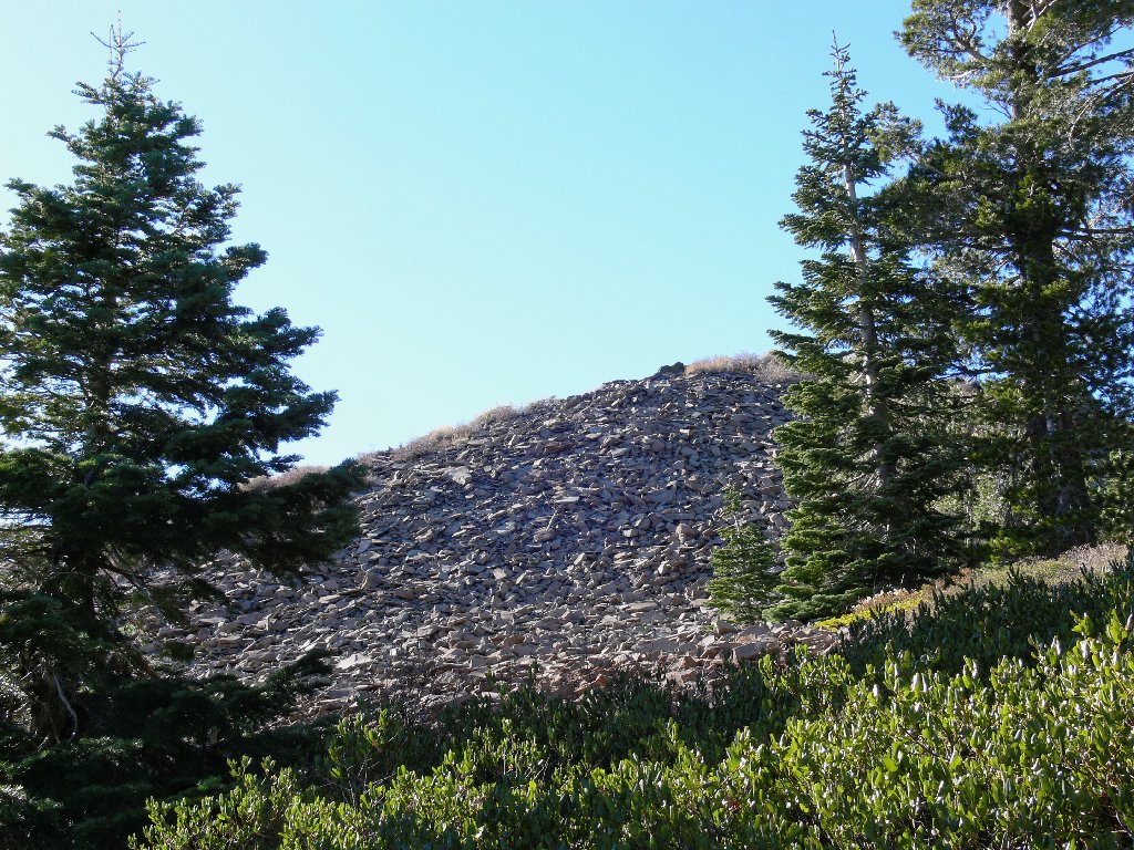
The summit is in sight
By continuing around the north side of the hill to my left, the climbing
distance is minimized, making it just a 40-foot scramble to the top.
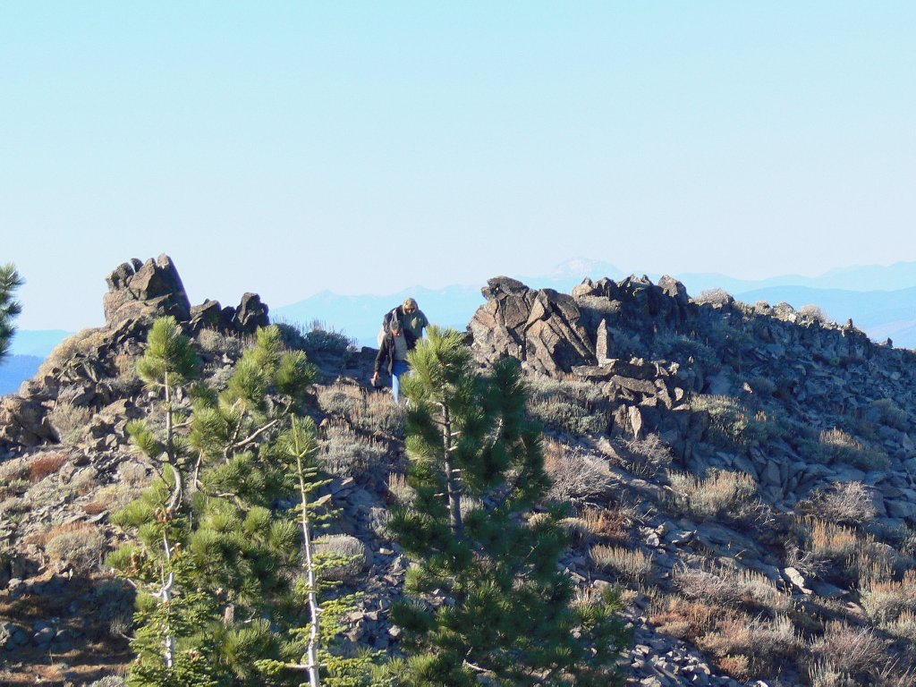
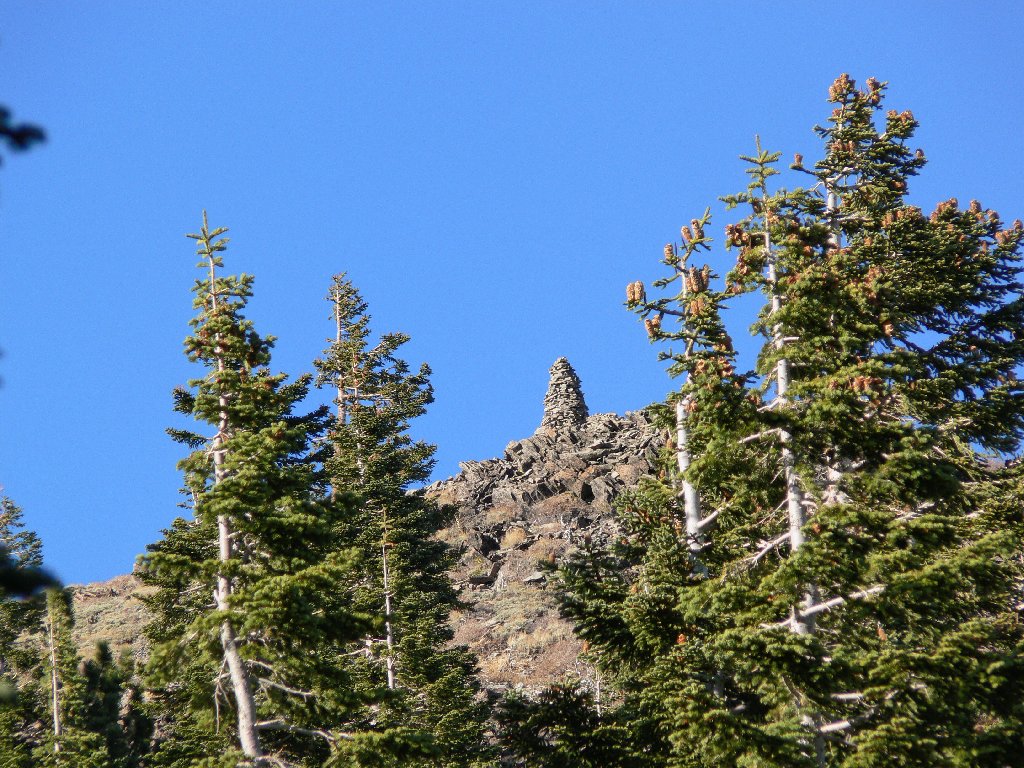
Oops! As I back up to compose a photograph of the little stone shelter, I spot the real summit in the distance, decorated by a giant stone marker. Curses! Feeling like a dunce, I hitch on my pack and head for the high point.
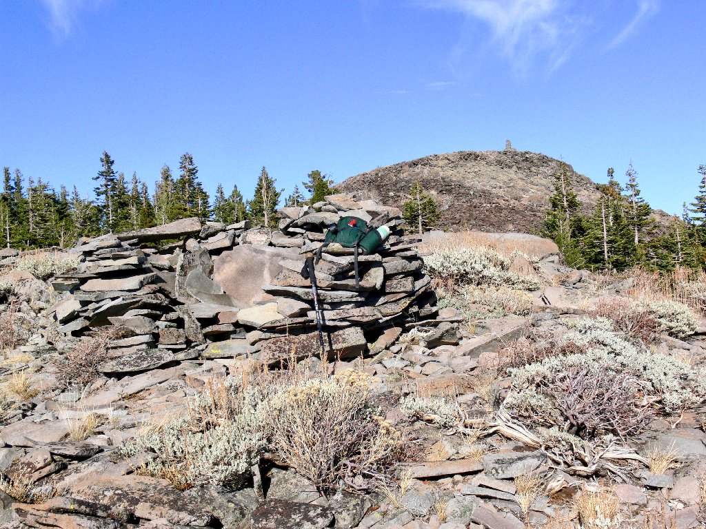
Not here! Over there, 280 feet higher
As before, the trail winds up and around to the north side of the hill. This is good; the more climbing done on a pathway, the better.
Getting closer
Within fifteen minutes I am standing atop Haskell Peak.
The 10-foot cairn up here is the biggest one I ever have seen.

Haskell Peak, 8107'
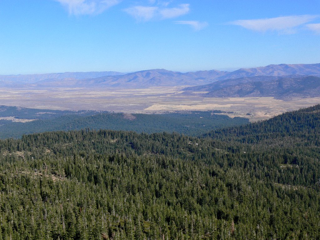
Sierra Valley to the east
Sierra Buttes in the west
During my final ascent, a pair of walkers had appeared below; yet they seemed reluctant to start up the talus slope. Perhaps they are giving me 'space' to complete some sort of spiritual journey or other. More likely, however, they would like the summit to themselves after I am gone. So I merely take a few pictures, then head down as the happy couple waits it out at a nearby viewpoint. I would see no other hikers today.
The waiting couple, with Mount Lassen barely visible
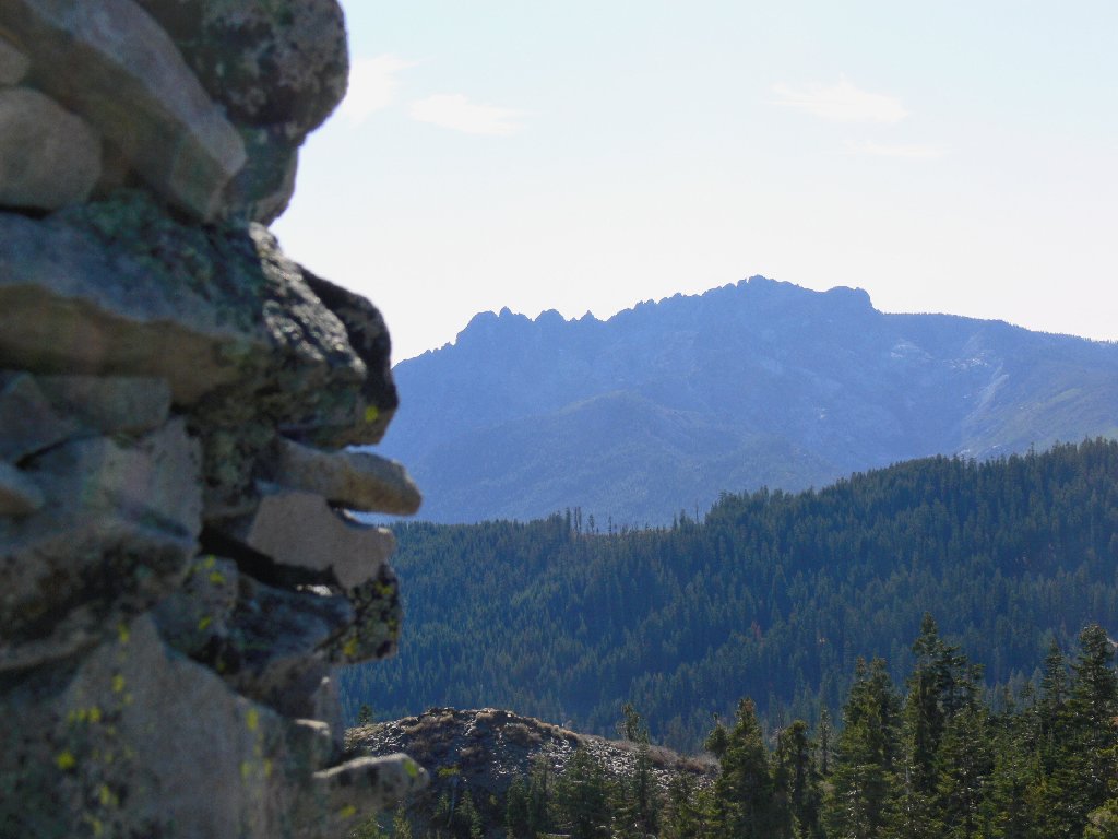
The false summit, Peak 7833, reappears
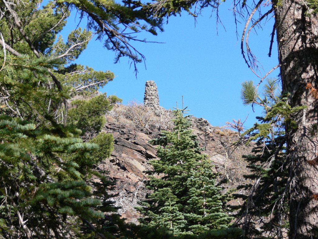
While heading down, the huge hilltop cairn is easy to spot from a number of
places. Had I not been so intent upon finding my way up, I would have seen
it previously. But then I would not have scaled the alternate summit, and
I would have missed an interesting photo-op. In retrospect, I am
glad that things worked out as they did. Serendipity.
It's right there if one is watching for it
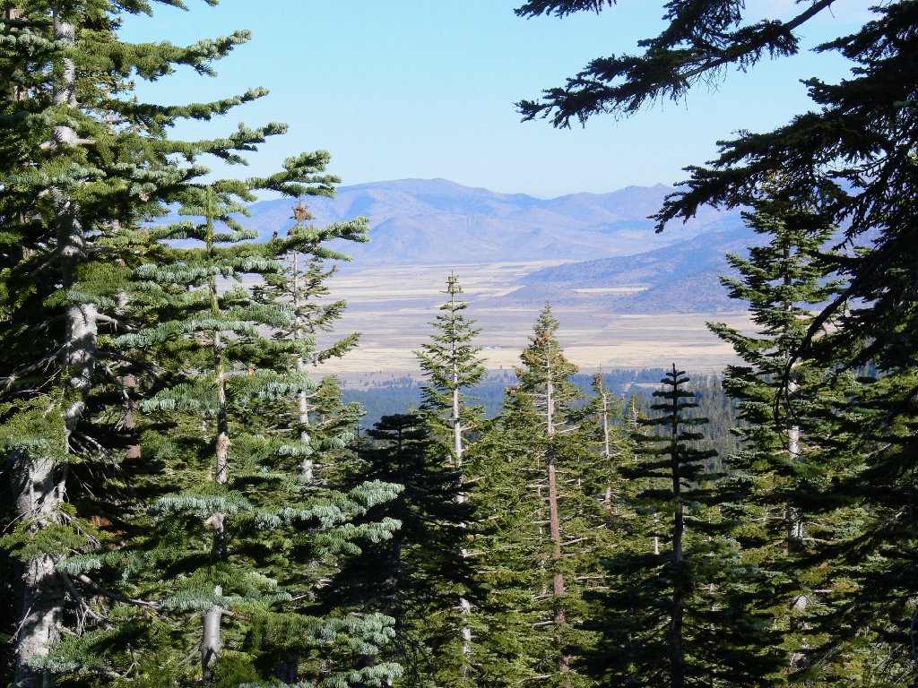
Reno lies beyond the distant mountain
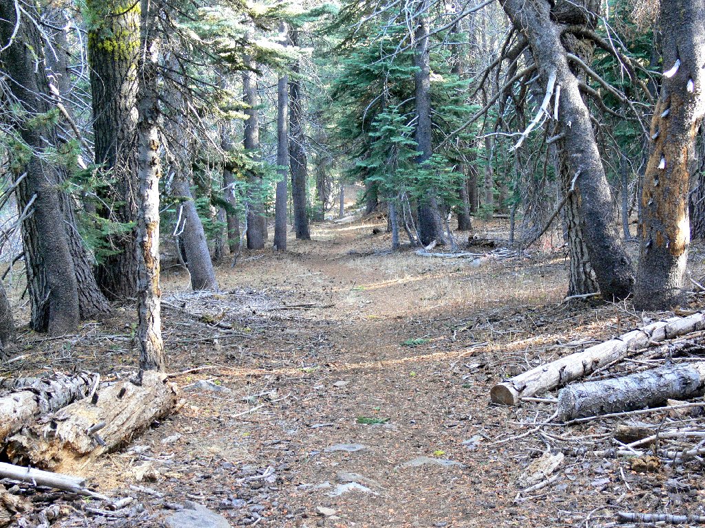
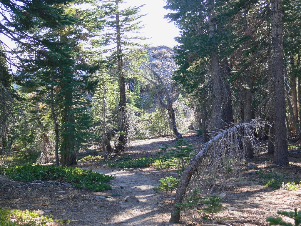
An easy-going trail all the way
Although I don't hunt for flowers this late in the season, a patch of crimson catches my eye. Investigating, I discover a snow plant buried in pine needles. Amazing! I didn't know that such a thing existed at this time of year. Normally, my favorite flower species appears in the springtime, just as the snow is melting.
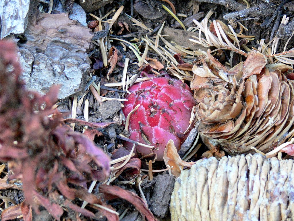
A Snow Plant in November? Is this for real?
Scraping away some of the debris, I discover a second plant. Not knowing whether it would matter, I cover them up again before leaving.
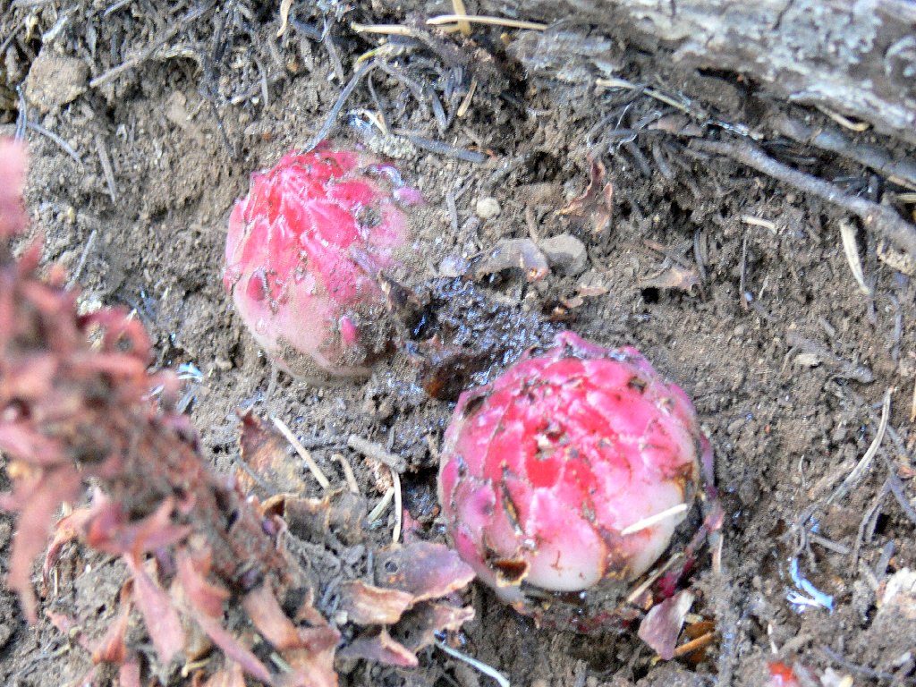
White undersides suggest an early growth stage
End of the line
§: Some writers state that this trail is only 1½ miles long,
despite the number on the sign. My detour added some distance, so I'll
claim the max. In any case, it is a pleasure to be able to hike to 8,000
feet in summer attire this late in the year.
| Scenery |  |
| Difficulty | |
| Personality | |
| Solitude |  |
On the drive out, I continued east at a 4-way junction, eschewing FR-9
in favor of Chapman Saddle Road (Road-52), which headed directly toward
Sattley, my interim objective. Although somewhat more time was spent on
gravel, this actually was the shortest way down to Sierra Valley.
