
Eldorado NF
|
Devils Lake Eldorado NF |
October 7, 2009
Planning to visit the high country at least once more this season,
I drive hopefully up the Mormon Emigrant Trail. At the junction with
Highway-88, there is an inch or two of snow on the ground everywhere.
Oops! Since heading farther up the mountain doesn't seem like a viable
option, I turn downhill downhill toward Bear River Reservoir. I know
of a couple of shorter trails in that area; perhaps I can bag them both today.
Turning left just past the Lower Bear River Reservoir spillway, I continue
to a junction with Road 8N03F. Within the first mile, another sign confirms
that I am headed in the proper direction. After 2+ miles that are
totally unsuitable for a passenger car, the trailhead appears.
Lying on the ground nearby is a big new sign that will take the place of the dilapidated current offering. Perhaps the Forest Service intends to wait until next spring to set it up.
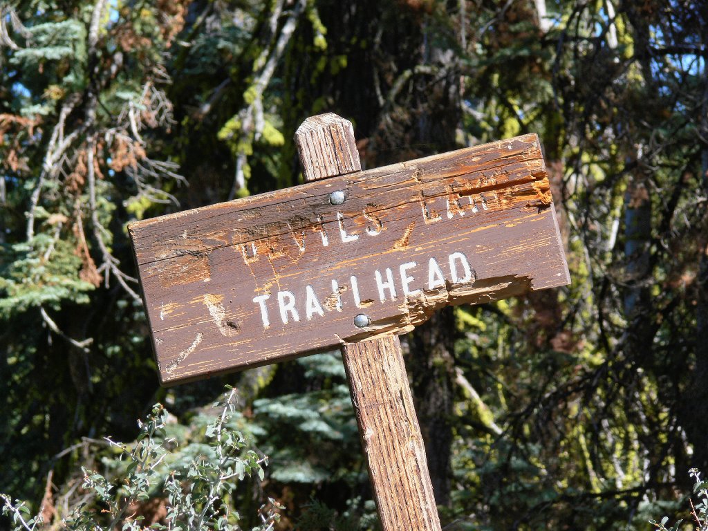
This aged marker finally is being retired
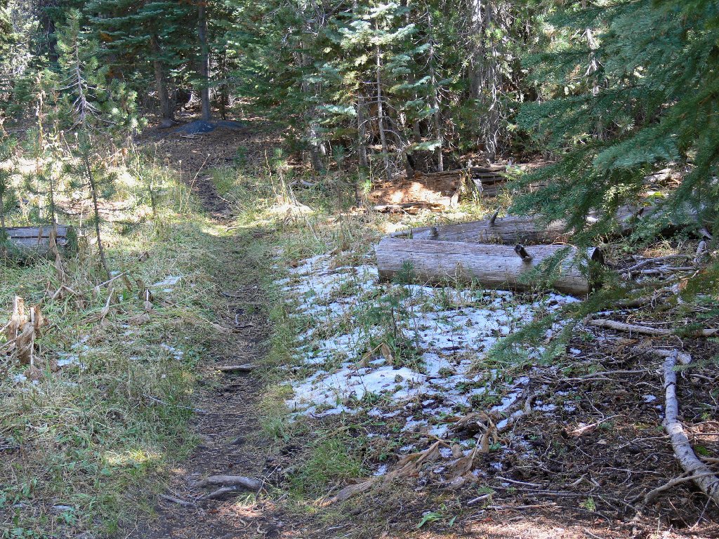
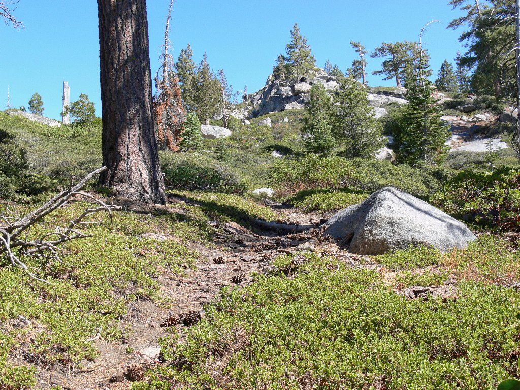
It's mellow going so far
Not far into the walk, some snow appears beside the path, which is okay. Farther on, the manzanita have virtually overgrown the trail in places, making it somewhat difficult to find. But that's okay, too.
Winter is just around the corner
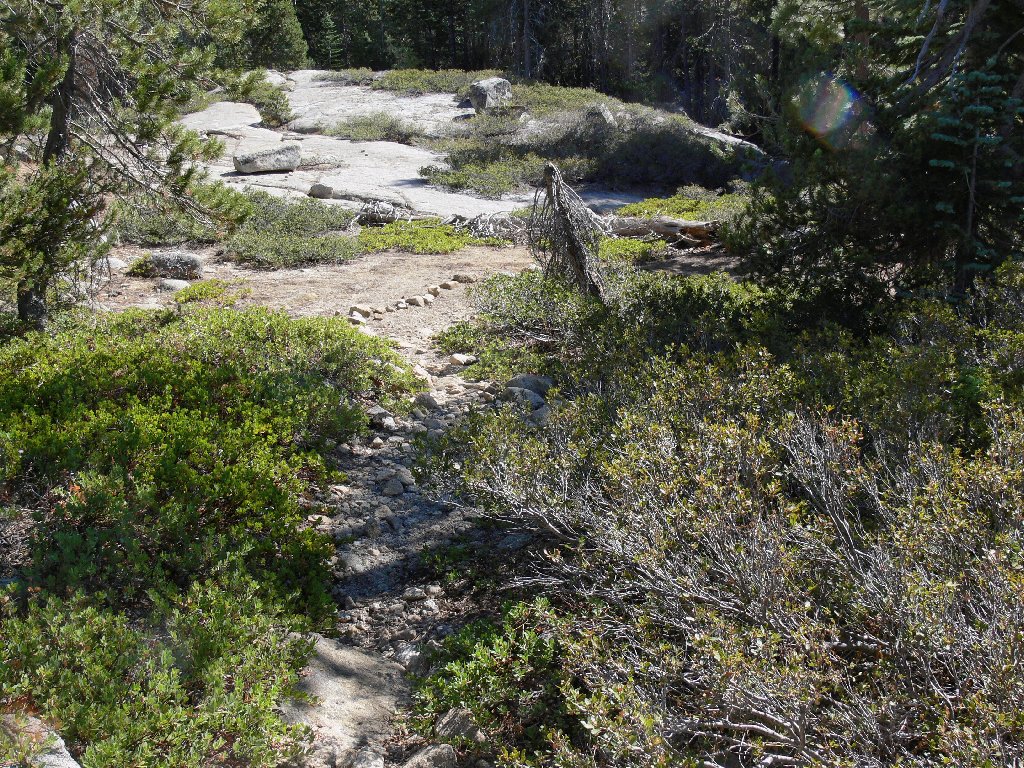
>Nearing the top of the saddle
At the trail high-point I get my first view of the lake. Shortly
thereafter, I learn what it means to travel on the colder north-facing
side of the hill.
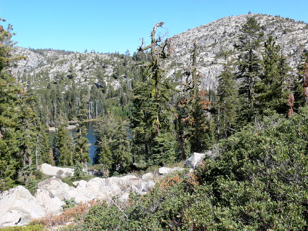
Devils Lake, and Peak 7925
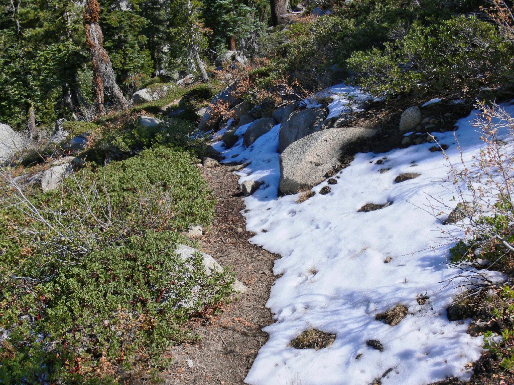
Snow is encroaching upon the path

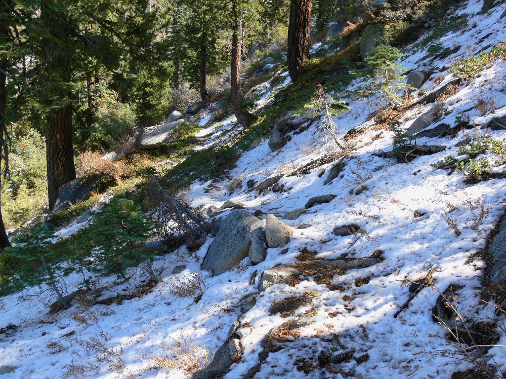
Getting closer
From here the route is totally snow-covered; it is becoming ever more challenging just to keep track of it. Eventually I give up and head directly down through the bushes to the lake shore.
Snowbound, but pretty
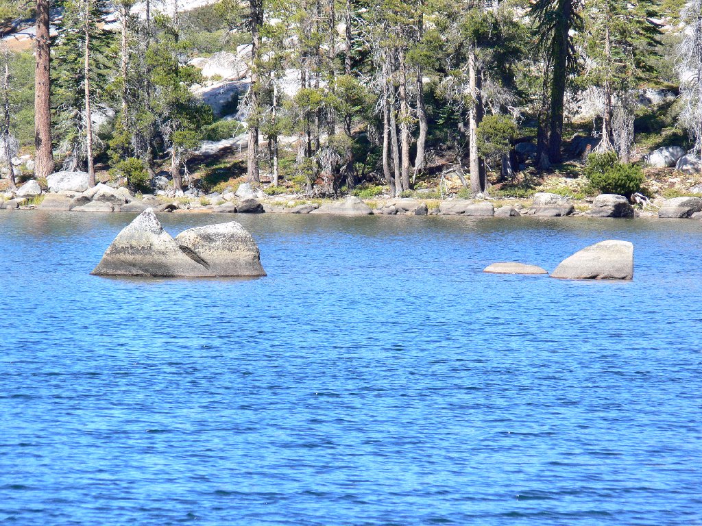
The water in Devils Lake is as cold as it looks
Having not taken a break to this point, I stop briefly to munch some trail mix, then take a short stroll beside the lake. Of course, the real trail has been left behind by now; in predictable fashion, I head straight up the slope to shortcut my way back.
Hah! In a mini-reprise of last week's fiasco at Lamarck Lakes, it takes quite some time to bushwhack up through 140 feet of manzanita, boulders, and snow. The trail does not reappear until I reach the top of the saddle.
The remainder of the walk is thankfully uneventful. At the car I immediately remove my sweatshirt, for it has been plenty warm enough at 50+ degrees. I opt to save the other, longer hike for another time; I've had enough of bad roads for one day.
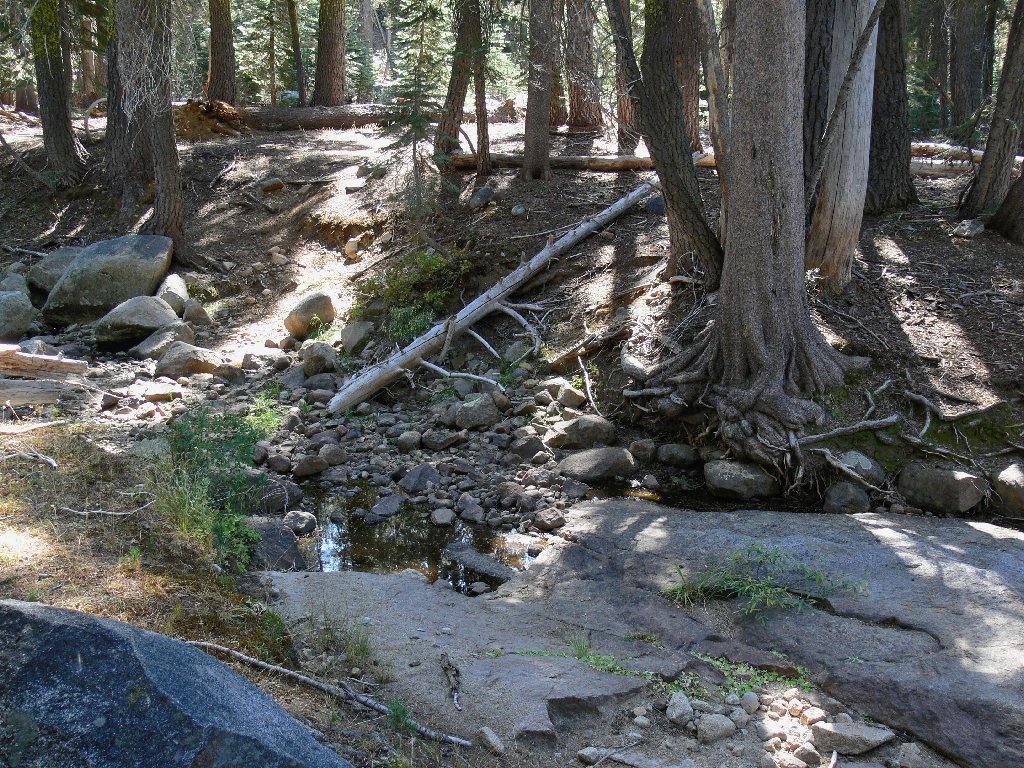
The crossing is all but dry
§: My National Geographic Trails Illustrated Map shows this route
as 1.0 miles long. More accurate is the new trailhead sign, which
specifies 1.5 miles. I have found that the N.G. maps understate
trail mileages with some regularity, which fact is disturbing; I expect better
from them. Comprehensive trail information is the sole reason for the
existence of those publications. Go figure.
If one is looking for solitude, then this is a place to find it. The relatively unexciting environs and roughness of the access road are sufficient to deter all but the most dedicated visitors.
| Scenery |  |
| Difficulty |  |
| Personality | |
| Getting There |  |
| Solitude |  |
