
John Muir Wilderness
|
Lamarck Lakes John Muir Wilderness |
October 1, 2009
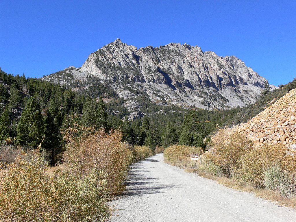
For my first-ever hike this far south in the Eastern Sierra, I have opted
for a late-month outing, hoping to capture some of the vaunted fall
color of the Bishop Creek area. The effortless drive up the hill from
Bishop itself is nothing like the white-knuckle, one-lane route that
I remember from the early 'sixties. Oh, how I do miss those exciting
old mountain roads.
So many trails around here are on my bucket list; but as my foot has been
complaining more than usual, I have selected one of the shorter trail options.
Turning off just shy of the Lake Sabrina boat ramp, an unpaved two-mile
cliff-hanger leads past North Lake to the hikers' parking lot adjacent
to the pack station. The trailhead itself is three-quarters of a
mile farther along at a campground, where day-use parking is strictly
prohibited and subject to citation. In any case, both that facility and
its access road already have been closed for the season.
There is plenty of time to contemplate the upcoming adventure
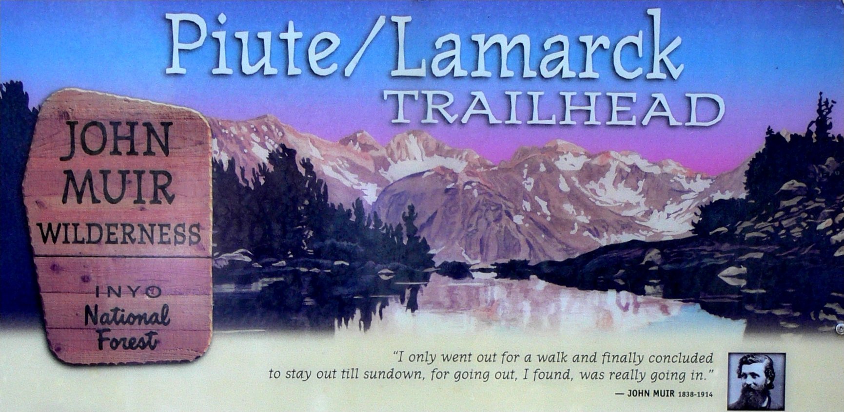
A fitting tribute to our nation's greatest conservationist ⇔
Two fit-looking male backpackers are preparing to head out over Piute Pass, to investigate a report that a man became separated from his group yesterday and hasn't been heard from since. It was pretty cold last night, too.
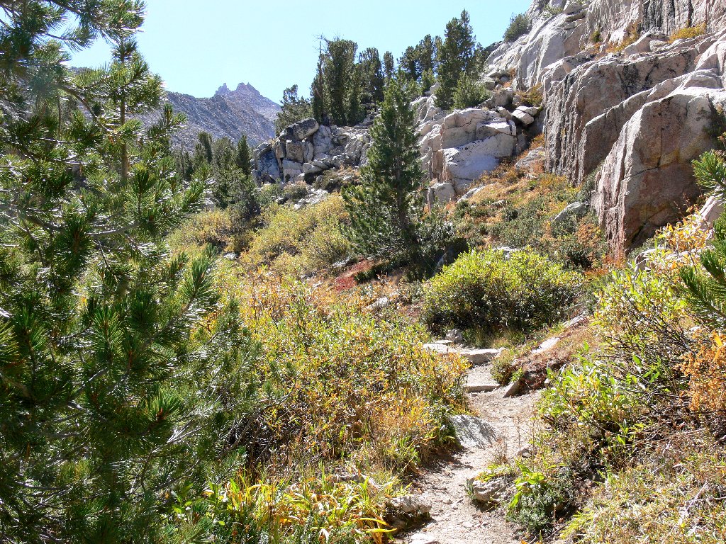
It is a calm and clear 47 degrees here at 10 a.m. Armed with
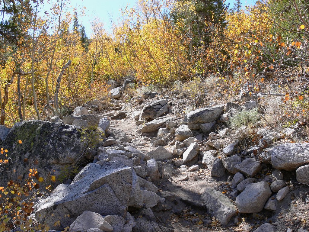
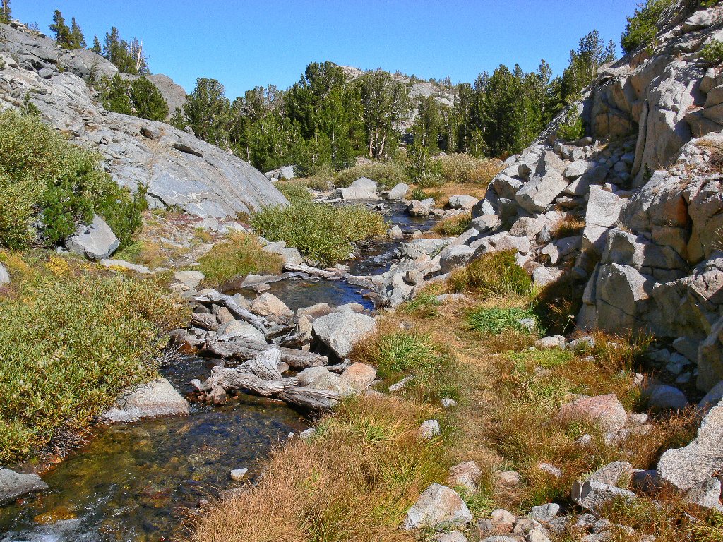
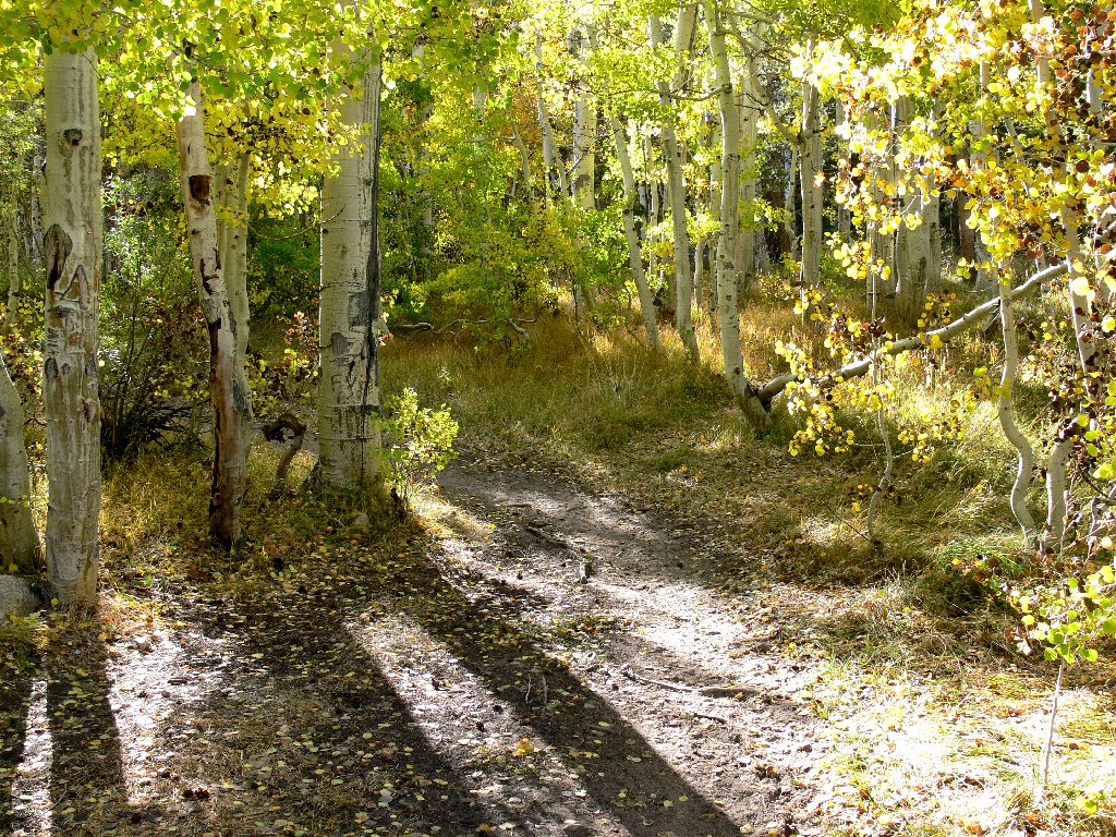
just a sweatshirt and headband, I start out in a small aspen grove, then
switchback gently through a dry but shady forest to a junction with the Grass Lake
spur. From here, the going becomes rougher and much steeper; I fear that my
knees will not like this section later. Fourteen hundred feet of total ascent
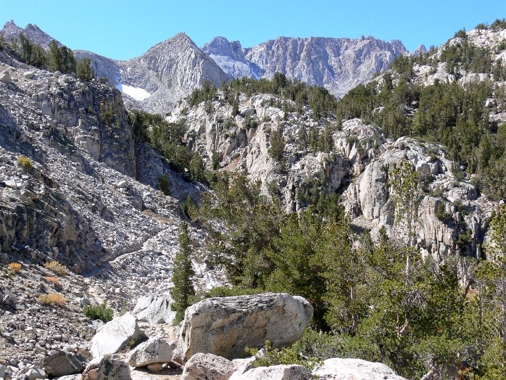
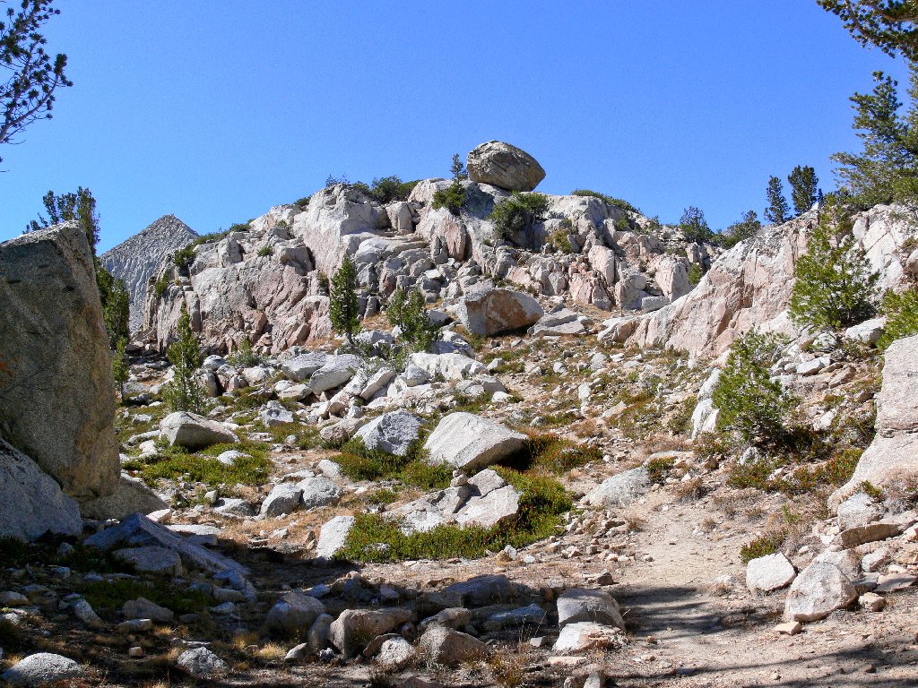
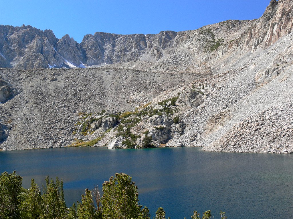
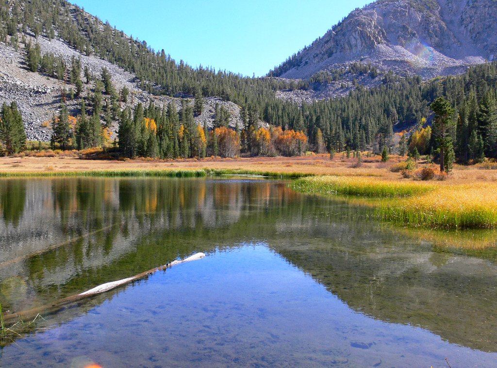
get me to a small pond; just beyond that is my initial objective.
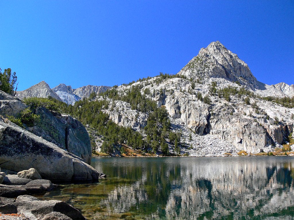
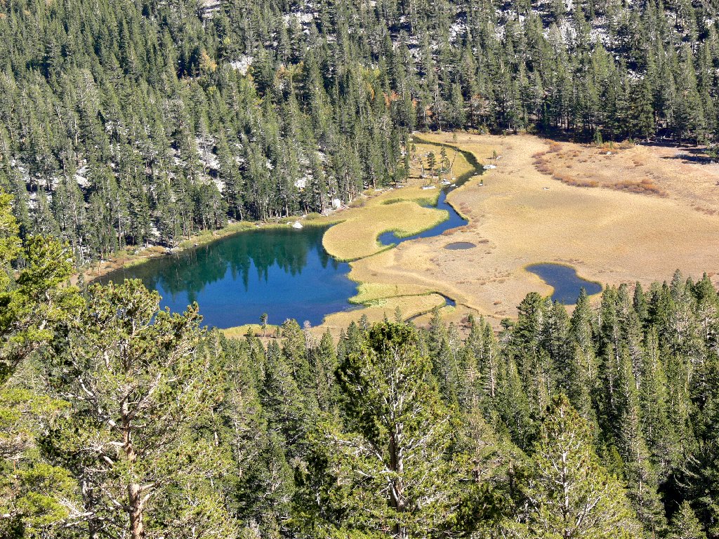
Lower Lamarck Lake and Peak 12153'
On the left is Muriel Peak, 12937'
These lakes are named after Jean-Baptiste Lamarck, a prominent French biologist responsible for some of the most controversial theories of evolutionary science, most of which have been subsequently rejected.
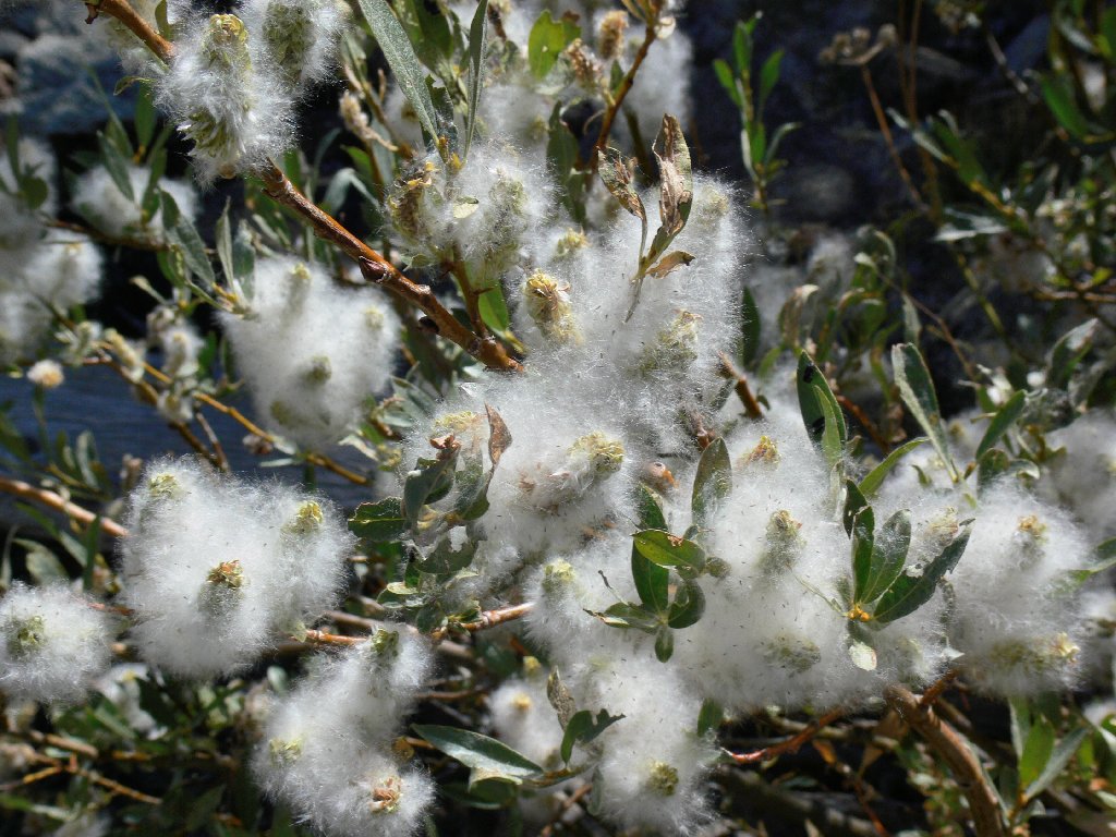
Sierra Willow doing its thing
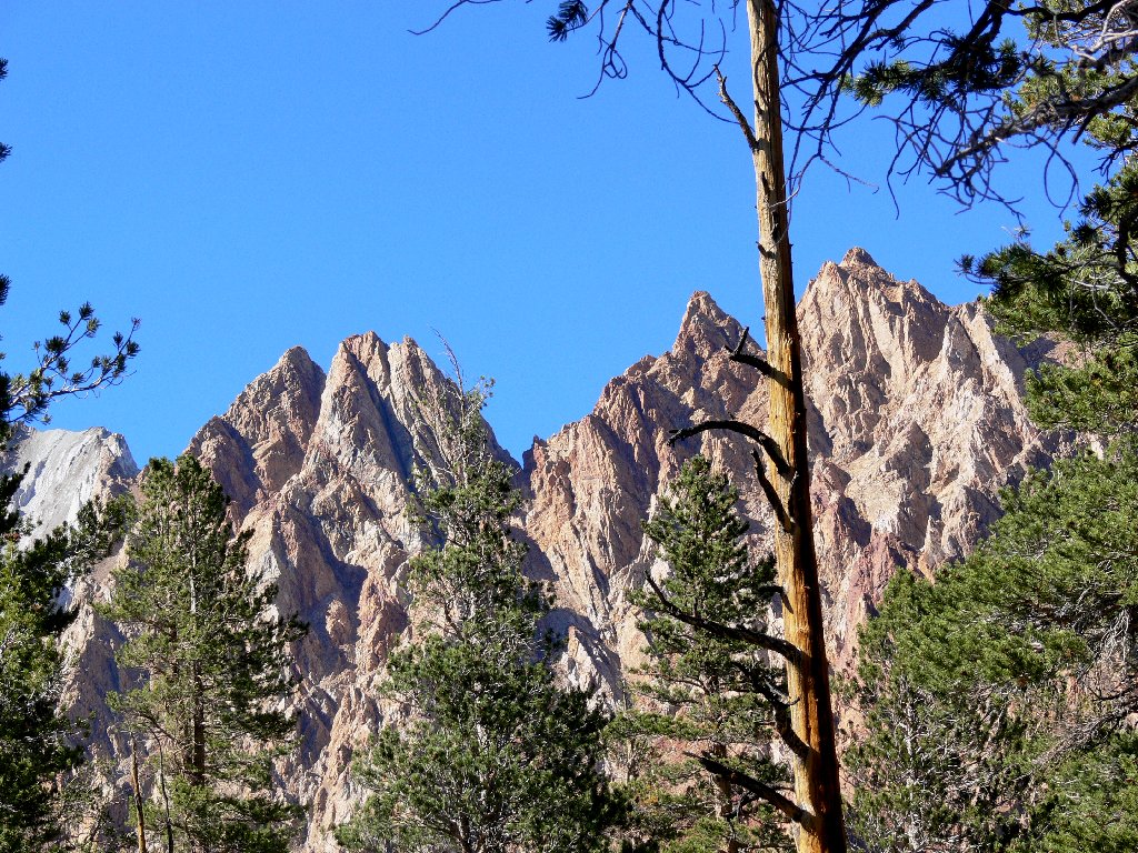
Telephoto view of the opposing cliff
I have just bypassed the turnoff for a cross-country option to the Wonder
Lakes area, which I understand can be wonderful indeed — in the
earlier season, that is, when the grasses are green and more water is
flowing. A visit there is on my must-do list.
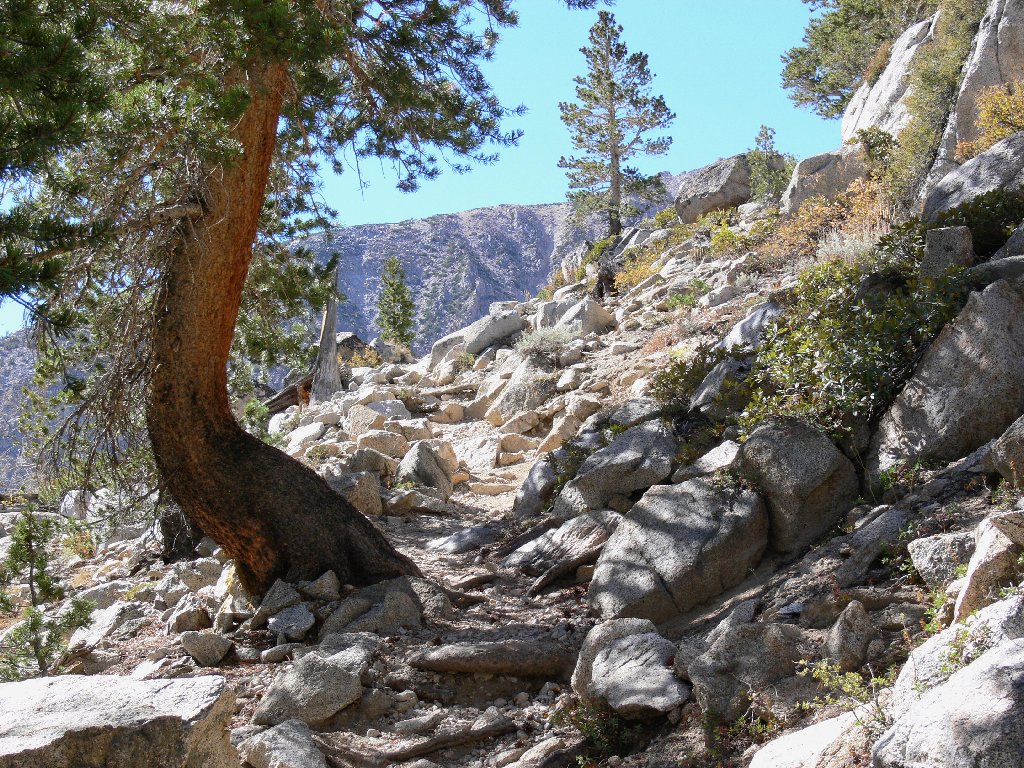
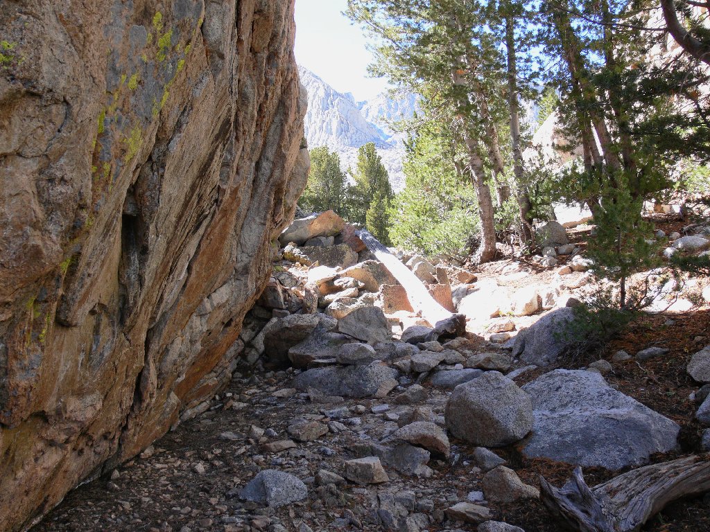
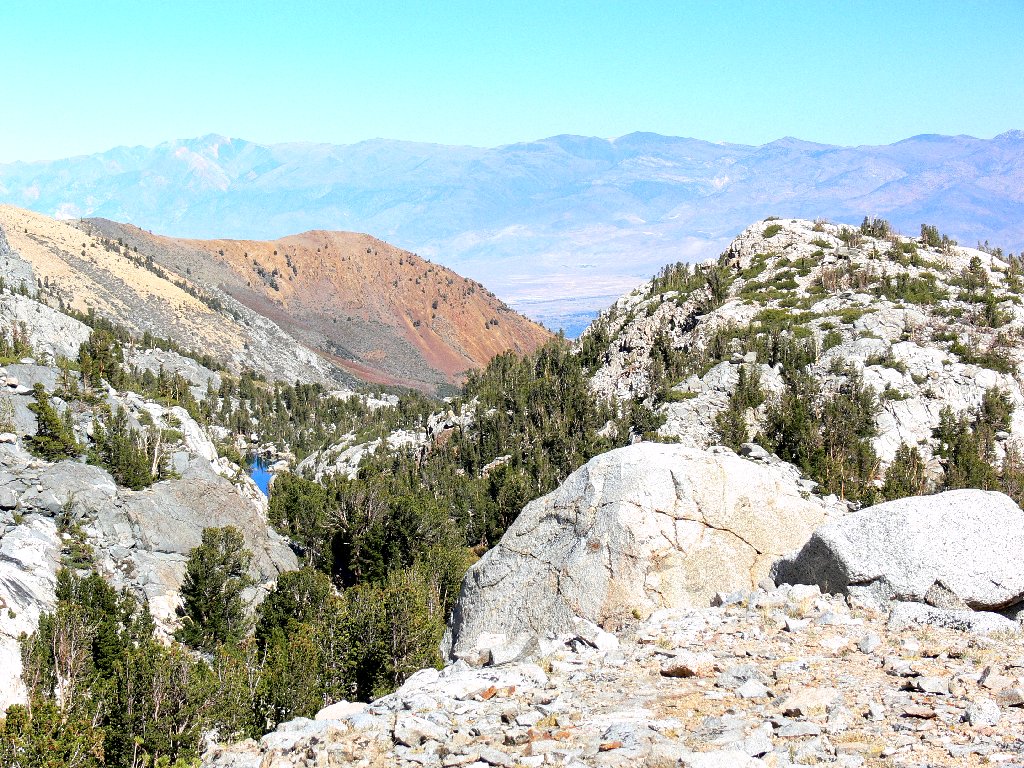
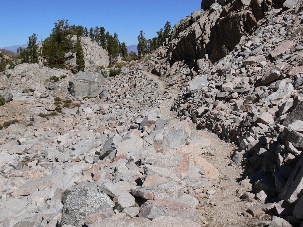
The officially maintained trail ends here at the lower lake, according to
the topographic map. In sight ahead, however, is a well-constructed
path across a talus slope. It so happens that just over the looming
ramparts is Kings Canyon National Park. This route provides the shortest,
albeit not the easiest, access to what is widely regarded as the most spectacular
portion of the John Muir Trail. Many hikers make a week-long
trek through here, crossing over snowbound Lamarck Col and eventually looping
back to South Lake, eleven driving miles from their starting point.
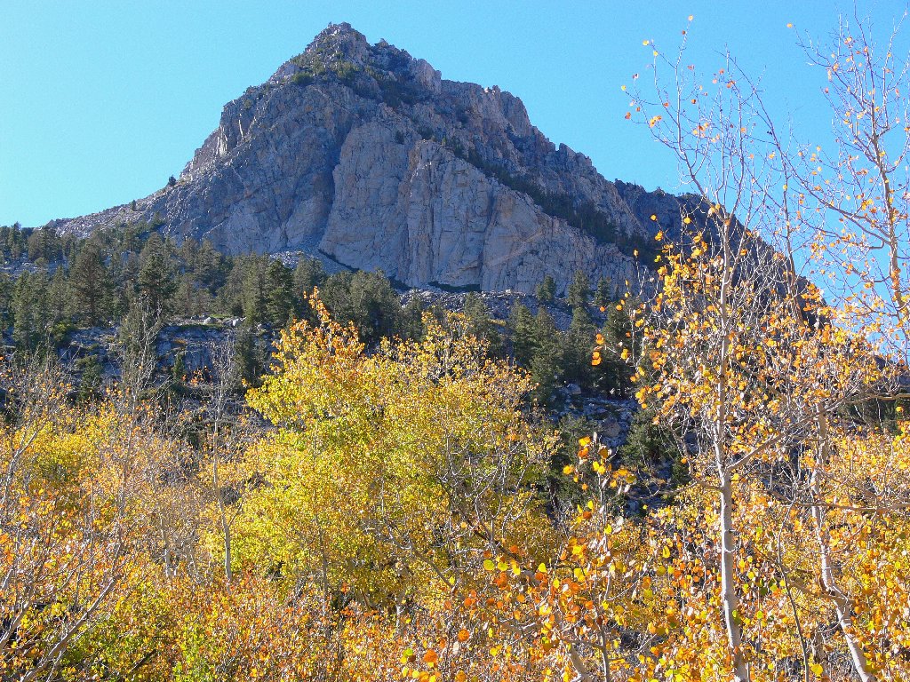
Mount Lamarck, 13417', is just to the right of the pyramid-shaped peak
No one seems to be taking that journey today; however, for I have not seen another soul on the trail. It is somewhat eerie being so completely alone up here, far from my home territory. I also experience an unusual couple of seconds of dizziness, for which I will blame a lack of adequate acclimation.
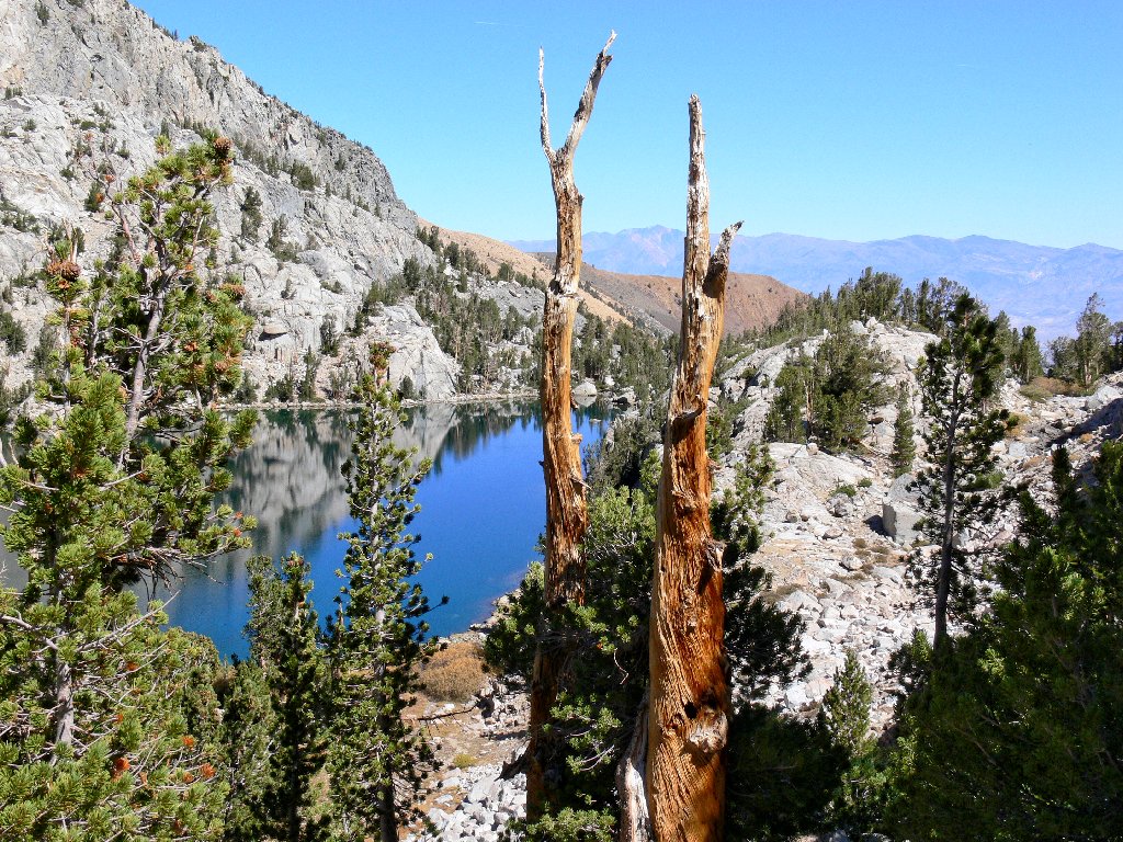
Framed between the two trees is White Mountain Peak, 14252'
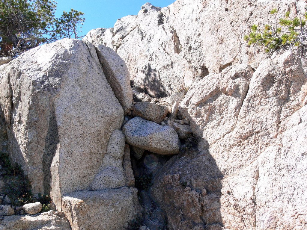
Somewhere in here I take a wrong turn, heading up the hill and around a
cliff. Of course, it would have made sense just to stick close to the
creek; and surely enough — after a tiring climb, I spot a
mellow-looking path down by the water. Oh well, there seems to
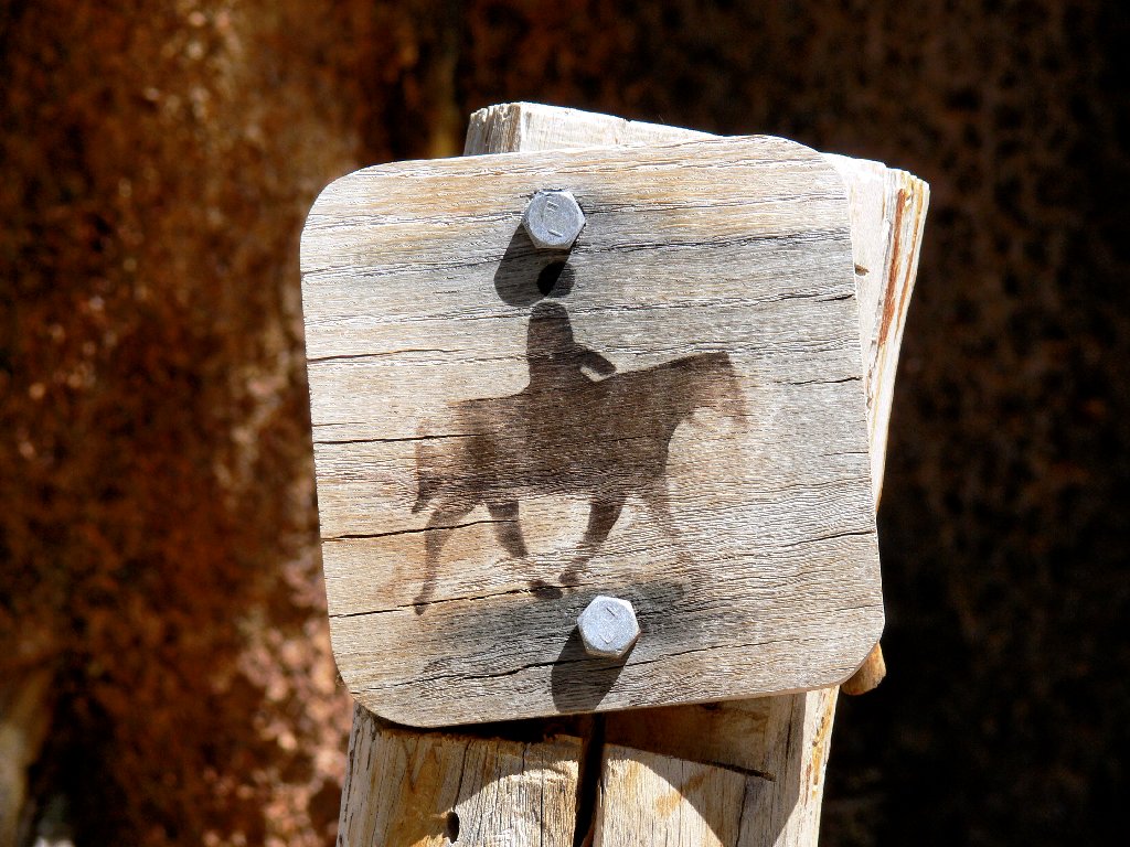
be a route up here also; for right in front of me is a cute little marker
indicating that I am on a stock trail.
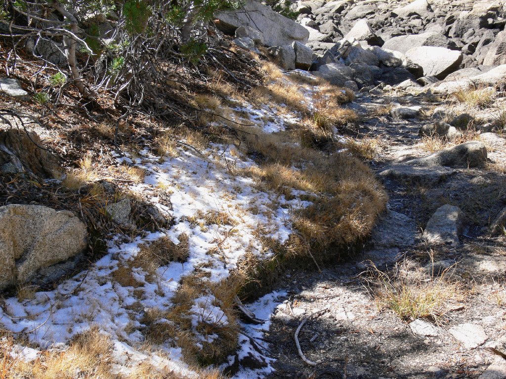
Boy, I sure don't seem to have my wits about me today. My normally
reliable route-finding skills seem to be on the fritz. Maybe
it's the altitude! A dried-up pond and a recent dusting of snow
serve as reminders that autumn is here.
On the stock trail, I presume
Summer definitely is over
The upper lake is the terminus of my planned exploration. Somewhere
above the eastern shore I find a sunny place to stop and rest my feet.
While my socks are drying, I munch some gorp, which basic recipe has changed.
In deference to a new Blood-Type-O "Hunter" diet, the standard peanuts
and raisins have been replaced by almonds and dried cranberries. Yum.
The M&Ms remain, however, because chocolate is a designated super-food!
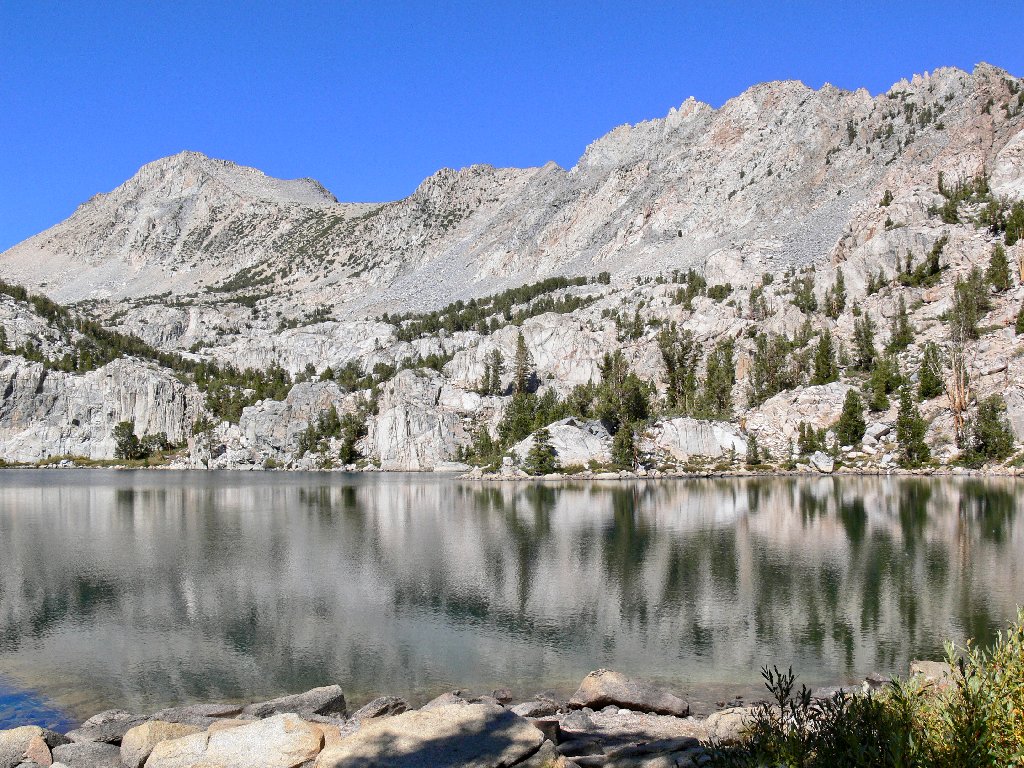
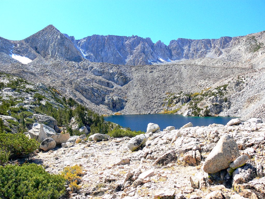
Upper Lamarck Lake, 10918'
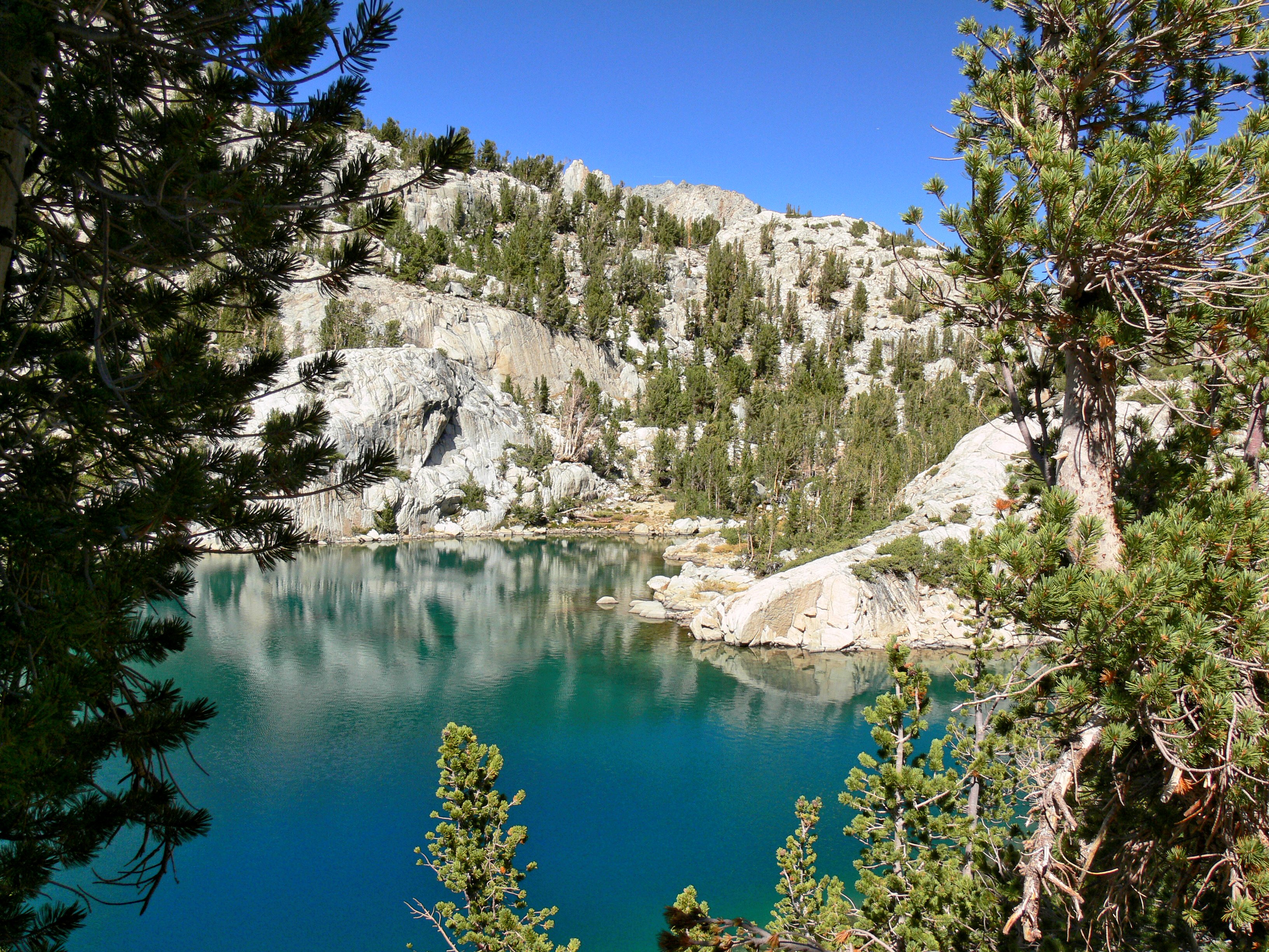
Nice colors
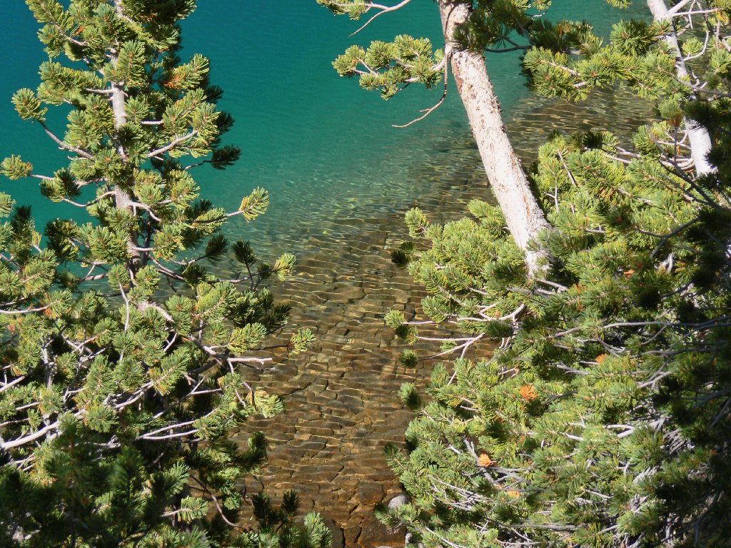
The lake bottom resembles a cobblestone walk
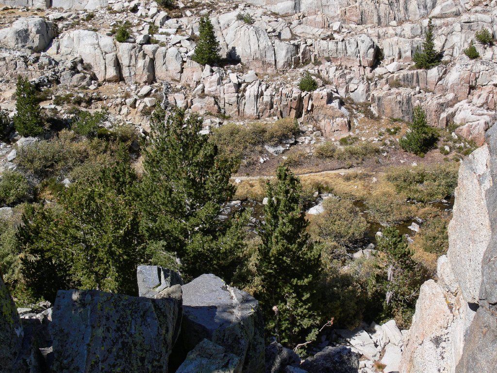
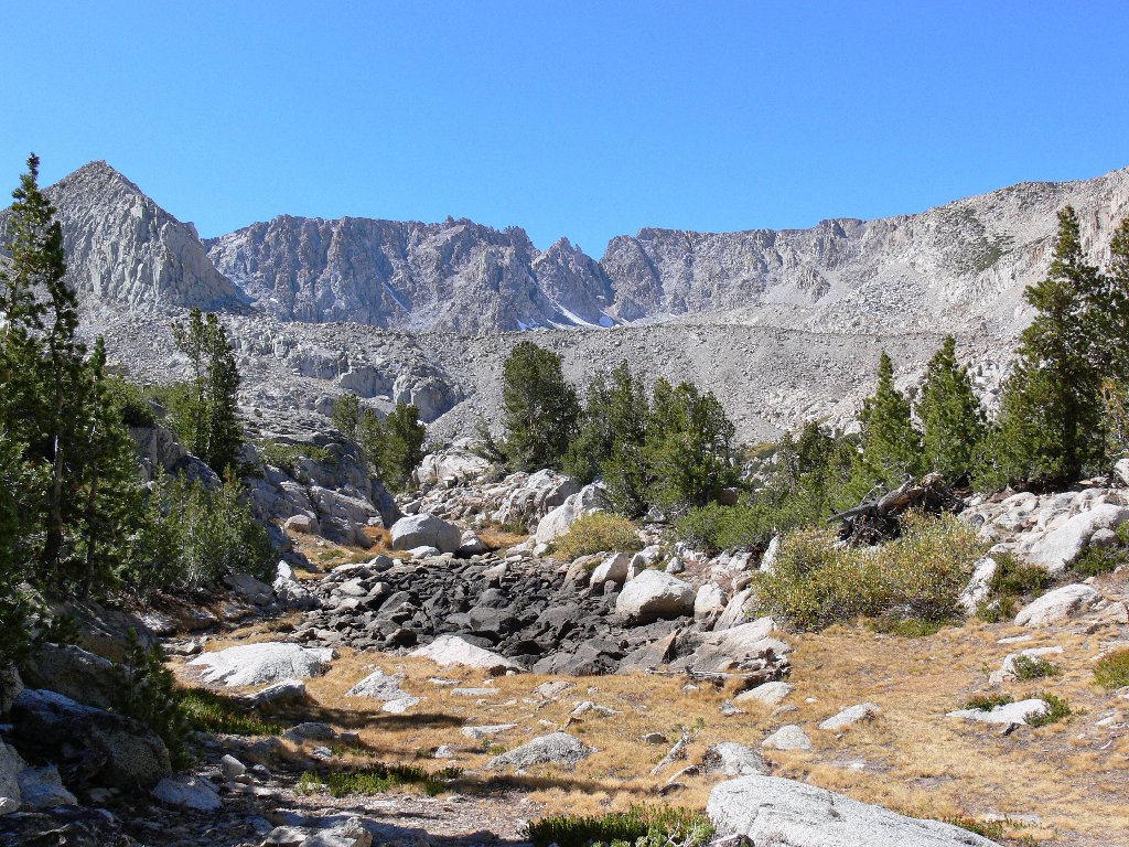
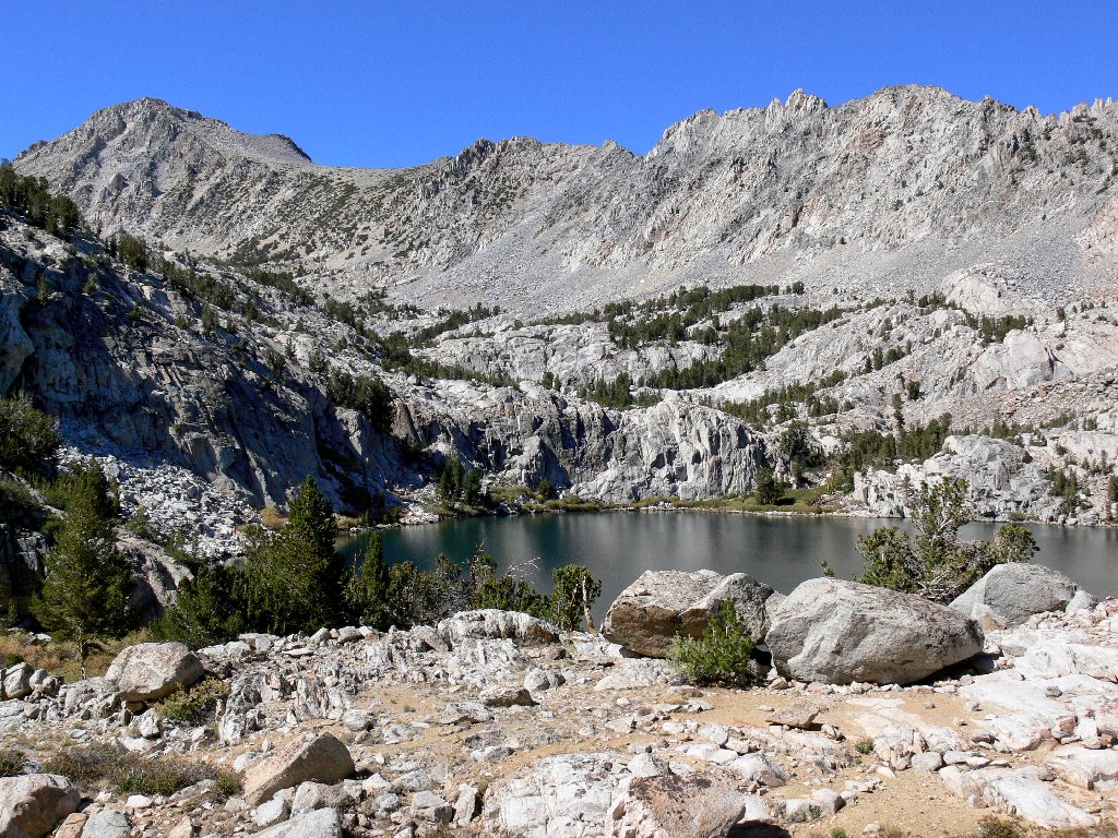
Directly behind the barren moraine lie three more lakes and a pair of
glaciers. It could be interesting to visit them; but today I lack the
inclination to negotiate that 500-foot scree slope, even if it could
be done safely. Although that cirque also could be viewed by continuing
farther up the trail toward the summit, I content myself with ascending a
nearby high point to take some pictures.
Not wishing to pass up a good photo-op, a chipmunk moves in to hog the spotlight for a time. I manage to resist an environmentally incorrect urge to give it something to eat.
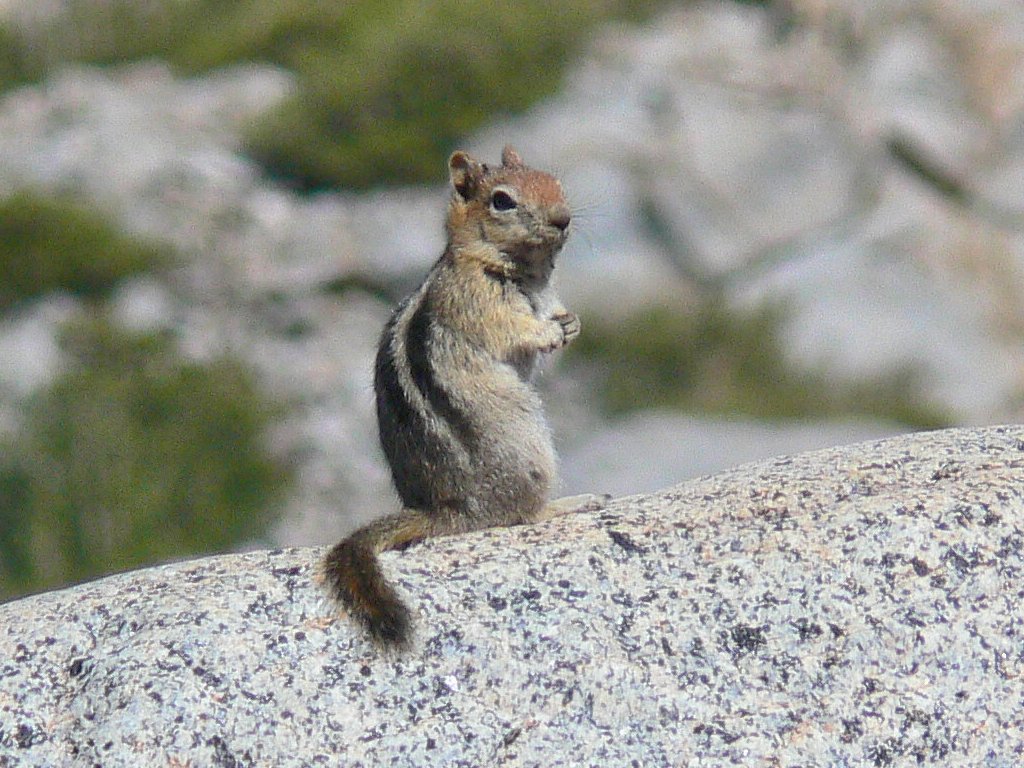
This guy isn't camera-shy
The lower lake is barely visible to the left
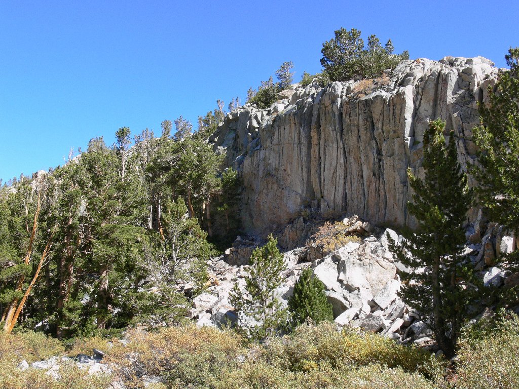
From my perch can be viewed exotic rock formations in every direction.
Although evidence of civilization is thankfully obscured, Highway-168
actually runs between the nearby low ridge and Table Mountain. So near,
yet so far.
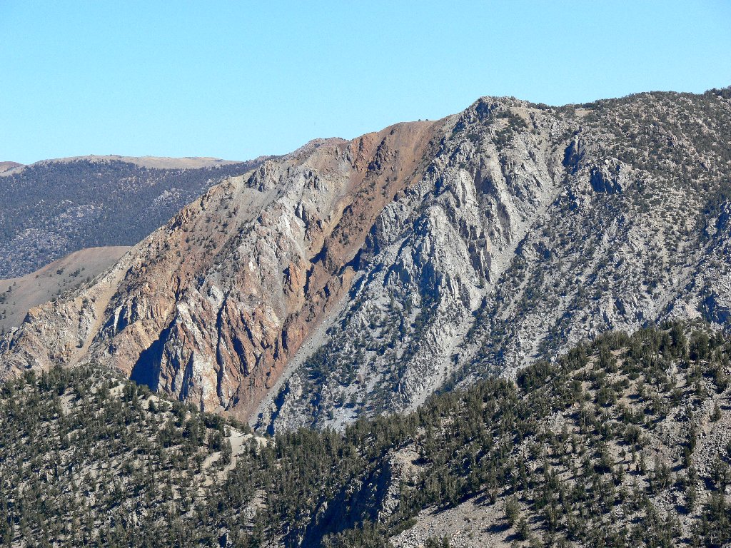
Table Mountain
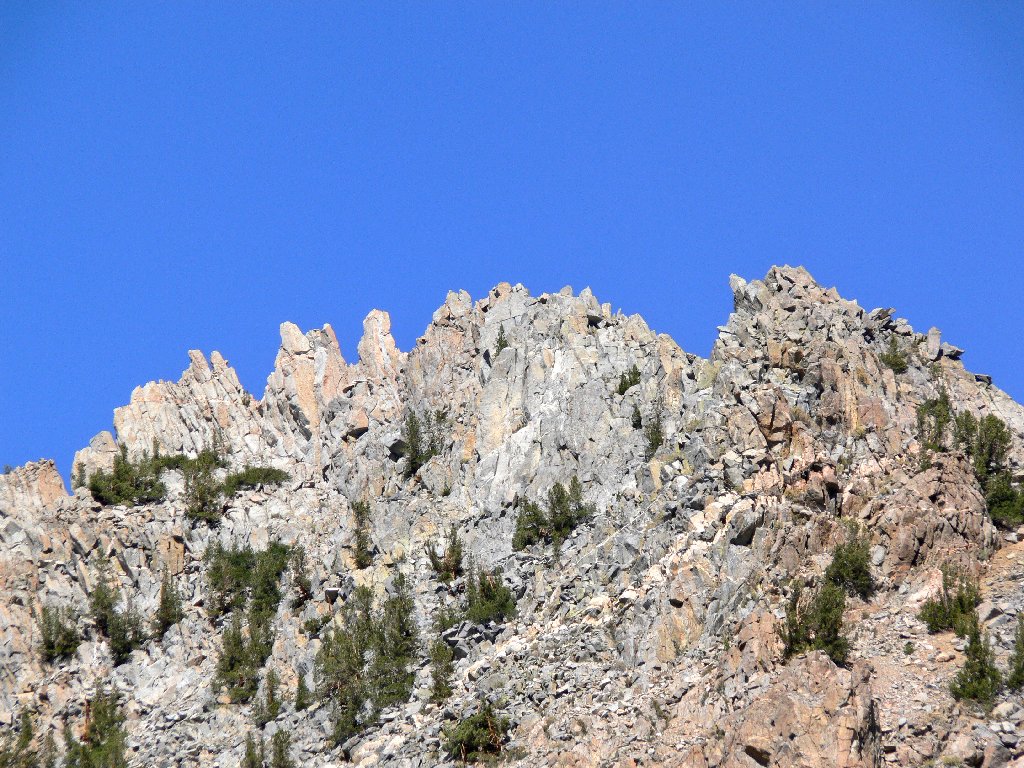
The rust-colored Piute Crags
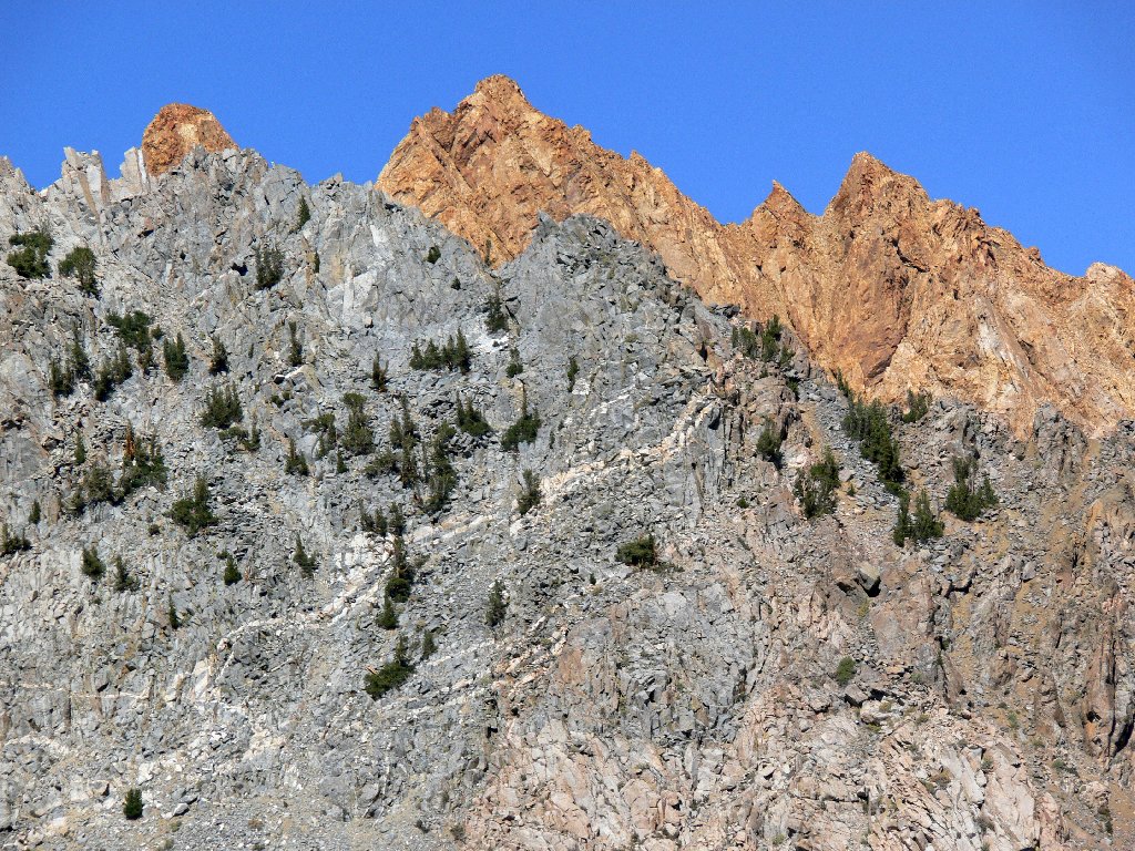
The lofty Sierra Crest conceals some of the world's finest scenery
It is time to head back. Determined not to incur further unnecessary hardship, I proceed down off the rock outcropping directly toward the creek.
My way off the big boulder
Crossing Lamarck Creek
A trail worth staying on
I was up there on the way in
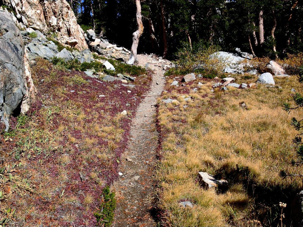
This time, the route back to the lower lake is easier. There still
are choices, however. Apparently, I could simply have remained on the
streamside path all the way, but I find myself back on the heavy-duty
section instead, which is okay.
Looking back
A choice of routes
From another high point beside Lower Lamarck, I survey the remainder of the hike.
Lower Lamarck, with the Wonder Lakes area behind it
Grass Lake awaits me, 800 feet below
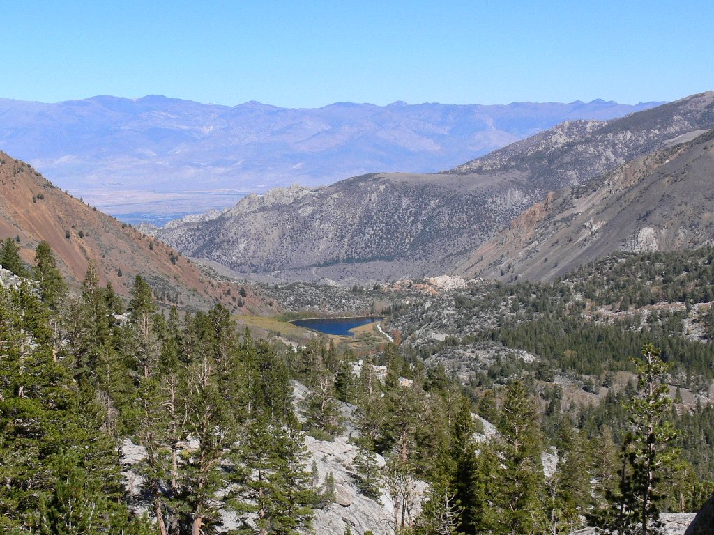
North Lake in the center; Bishop and the White Mountains in the distance
It is here that I make a big mistake — my second of the day.
The first was my having left a carefully prepared map in the car. Now,
also forgetting that I had originally approached this location from north of
Lamarck Creek, I promptly plunge down the hillside to the south of it,
directly toward Grass Lake.
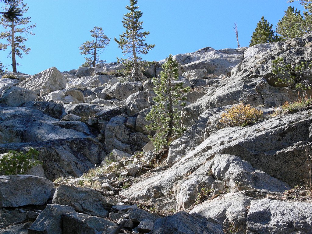
This proves to be one of my most difficult scrambles ever. Besides
becoming cliffed-out in half a dozen places, there are big talus
boulders as well as thickets of aspen and manzanita to deal with.
At one point I gingerly lower myself down a seven-foot boulder
in order to avoid a tedious upward retracement. This pattern
continues for fully five or six hundred feet of down-climbing,
until I fortuitously run into a social trail that takes me the rest of
the way to the bottom of the hill.
A gentler portion of my misbegotten route
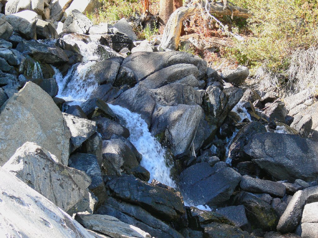
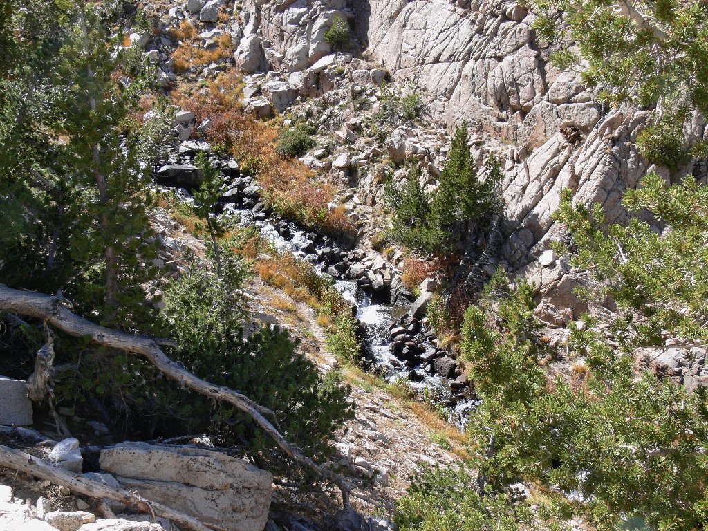
Falls on Lamarck Creek
On the brighter side, I encounter a couple of little waterfalls that
otherwise would have been missed, and those aforementioned knee-wrenching
switchbacks have been avoided. Also, there is the undeniable satisfaction
of having conquered the mountain unscathed. I have made it to the meadow,
and it is quite lovely here; but the best part of all is knowing that a
real trail will be available for the rest of the day.
Grass Lake
On the final lap, I encounter a foursome of backpackers bound for Upper Lamarck with their fishing poles; I would see no others on the trail today.
End of the line
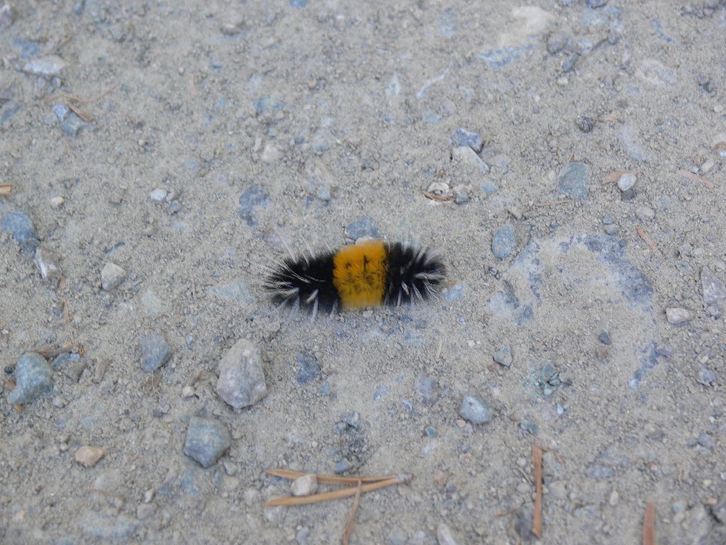
The campground caterpillar
§: A post-hike glance at a map reveals the Grass Lake Outlet
Trail, which follows the creek directly back to the pack station.
This original Lamarck Lakes Trail, abandoned some thirty years ago,
still gets some use. Although it might present a challenge or two,
this route would provide a significant shortcut to the parking lot.
I'll use it next time.
Regarding my little detour: performing that stunt at all was
ill-advised, but doing it alone was rather foolish in
retrospect. Although I am reasonably cautious and highly
sure-footed, I was out of earshot of the main trail.
Had I injured something and been unable to continue, I might not
have been rescued until the next day — after my bride
had frantically contacted the rangers when I didn't phone home.
That being said, this walk allowed me to get up-close and personal with the
High Sierra, with minimal mileage on a nicely shaded route. The views and
trailside geology were outstanding. I am amazed that such a gorgeous and
readily accessible place could have been so relatively under-appreciated
on this perfect hiking day.
Because my cliff-defying skirmish was unplanned and ill-advised, I'll not let it adversely influence the walk's rating. The elusive nature of the route itself can actually add to the fun if one is sufficiently adventuresome.
Was it worth the wait to add some fall color to the experience?
Well, yes and no. There were some nice aspen shots, but only at the lowest
elevations of the walk. The plethora of photographers scurrying about the
Sabrina Basin with their giant cameras and tripods suggests that this is indeed
the best time for such activity; yet a substantial trade-off is involved,
at least for this hiker.
The area between the Lamarck Lakes surely is a virtual paradise when the flowers
are out and the brooks are babbling; the same would hold true for many other local
destinations. This spectacular region is just too far from home for me not to
maximize the benefits of being here. To that end, most future hiking outings
down here will be scheduled during the peak season of mid-July through
August. I yearn for my alpine gardens; I can get my fall-color fix
elsewhere.
| Scenery |  |
| Difficulty |  |
| Personality |  |
| Adventure | |
| Solitude |  |

Note: Ten years after this hike I finally would figure out that it is
unprocessed dark chocolate that is the superfood, whereas both M&M's and
the sugar-intensive craisins contribute to many health problems.
