
Yosemite National Park
|
Tuolumne Falls Yosemite National Park |
September 16, 2009
Seeking a mere warm-up for a more comprehensive hike tomorrow, I thought that I would just make the short trek up Pothole Dome and perhaps climb nearby Lembert Dome as well, having not scaled either of them previously; but that's not what happened.
After skirting the protected meadow at roadside, it is just a matter of continuing on the path until the upward gradient on the granite slab is to one's liking. It actually is a very easy climb, and there are great views all around.
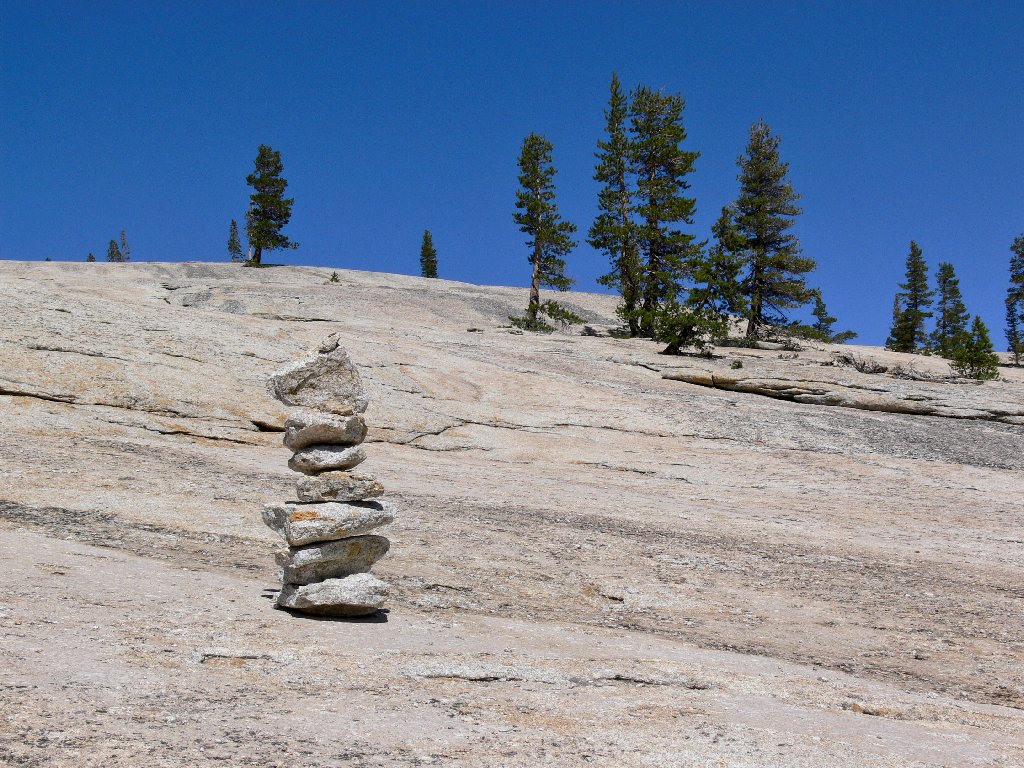
Pointing the way up the dome
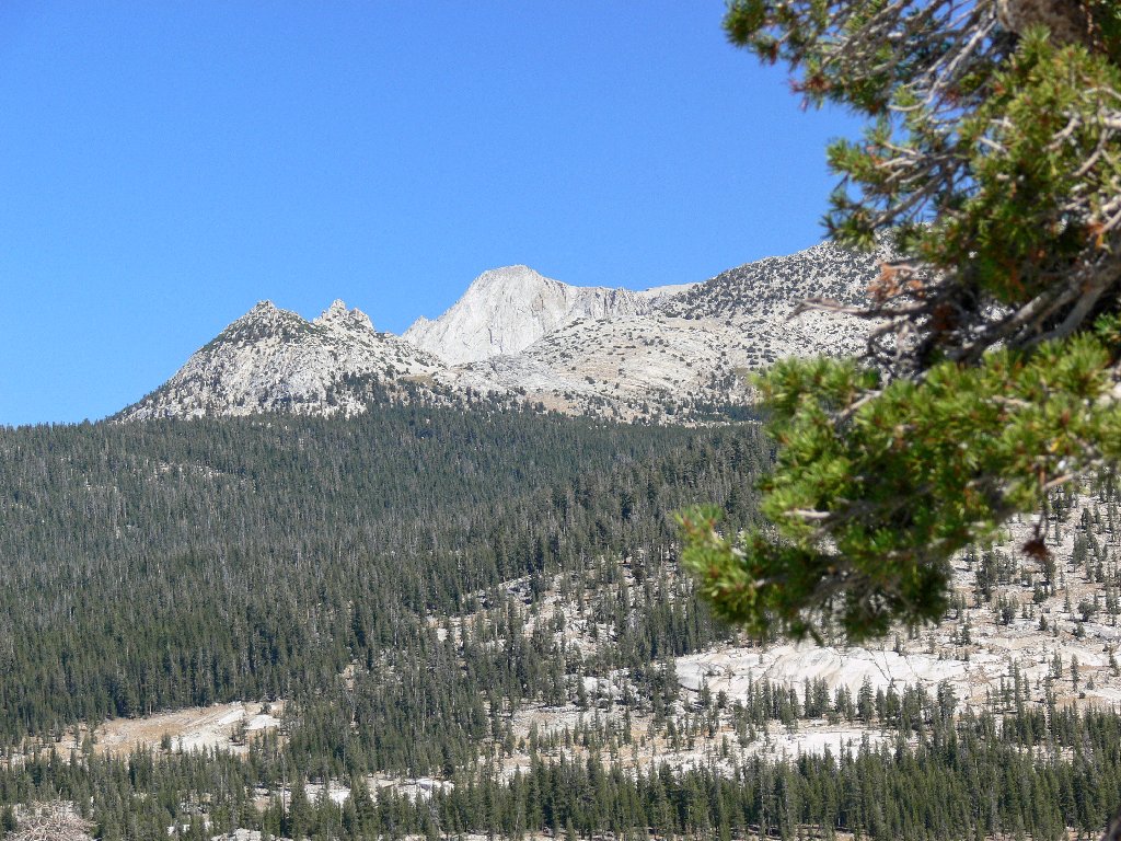
Mount Conness to the northeast
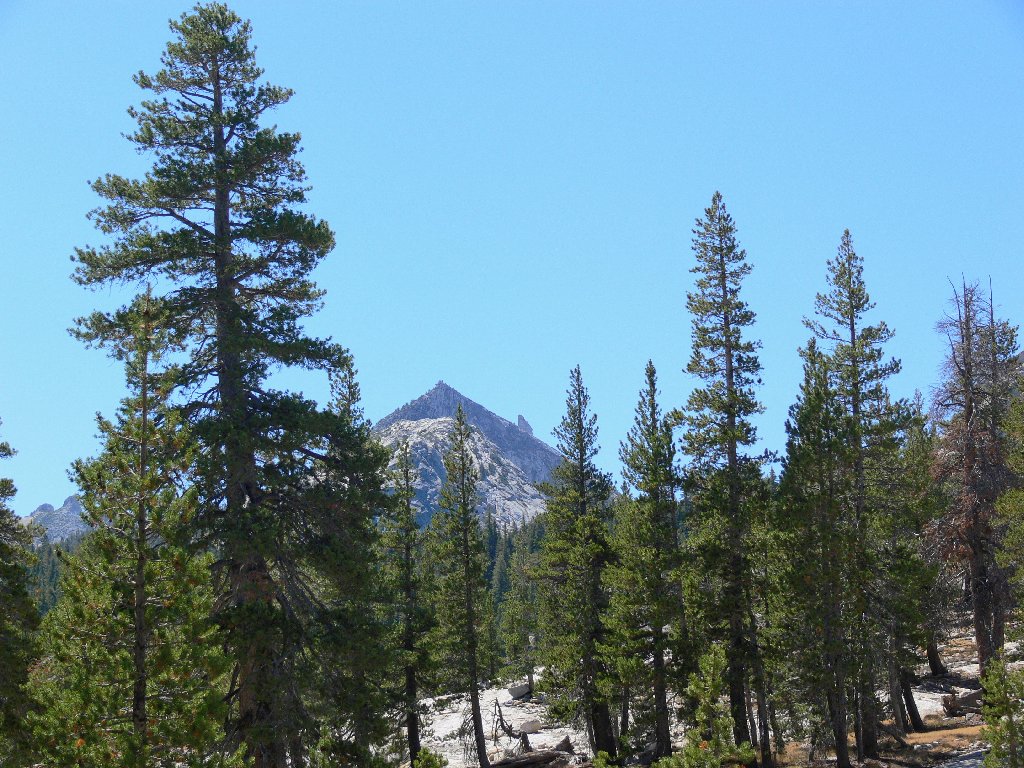
Cathedral Peak in the south
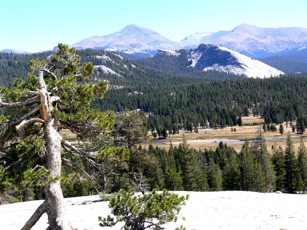
Mount Dana and Mount Gibbs behind Lembert Dome
Well, this hasn't been much exercise thus far. A use trail heads northward from here toward the river, so I will follow it awhile. Angling down the north side of the dome, I presently do run into the Tuolumne River; and what a welcome sight it is!
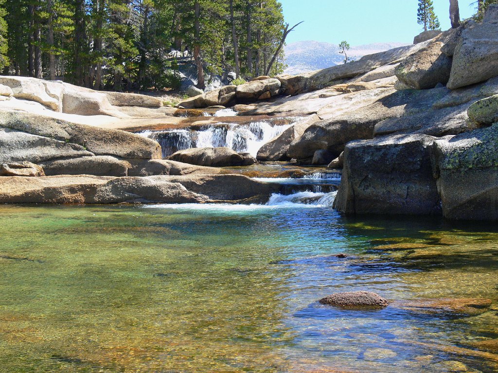
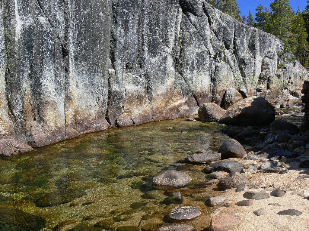
First encounter with the Tuolumne
A bit farther along, I spot a couple of beach-dwellers clearly intent upon spending the day there. That's well and good for them, I'm sure; but I couldn't stand it for very long. There is so much more to see around the next corner, such as an elegant little pair of matching cascades.
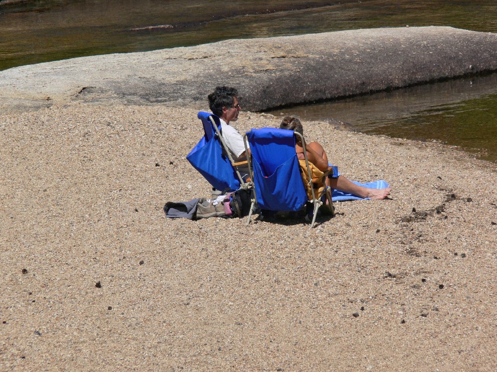
Lawn-chair loungers
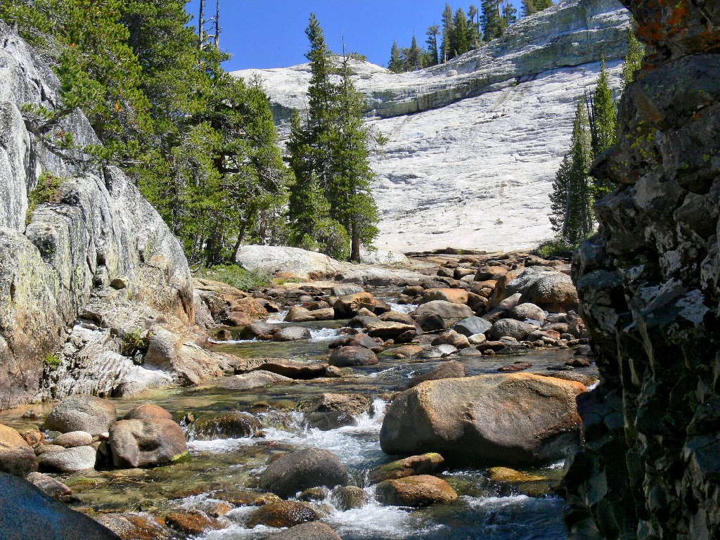
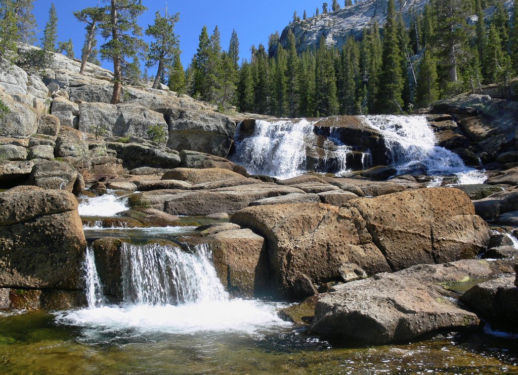
Stair-stepping falls
Doubtless the river is far more spectacular in early summer, when much more water is present. Yet a lesser volume makes possible so many beautiful little places that would otherwise be drowned and obscured by a greater stream flow. Perhaps the best scenic compromise is about mid-way between maximum and minimum flow.
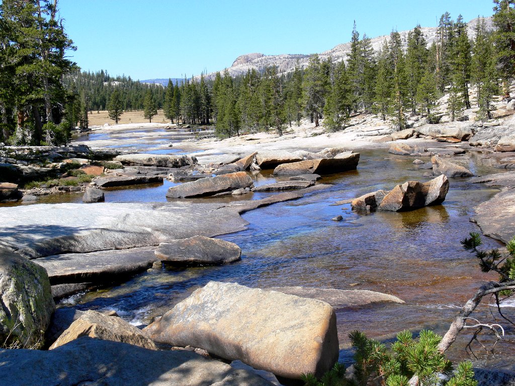
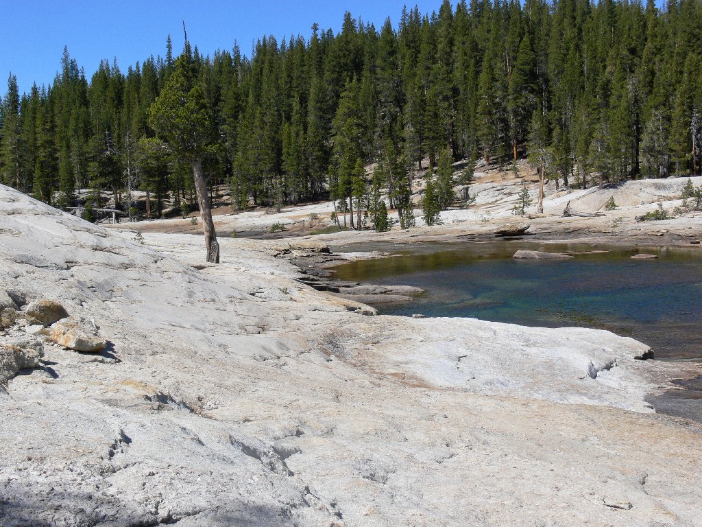
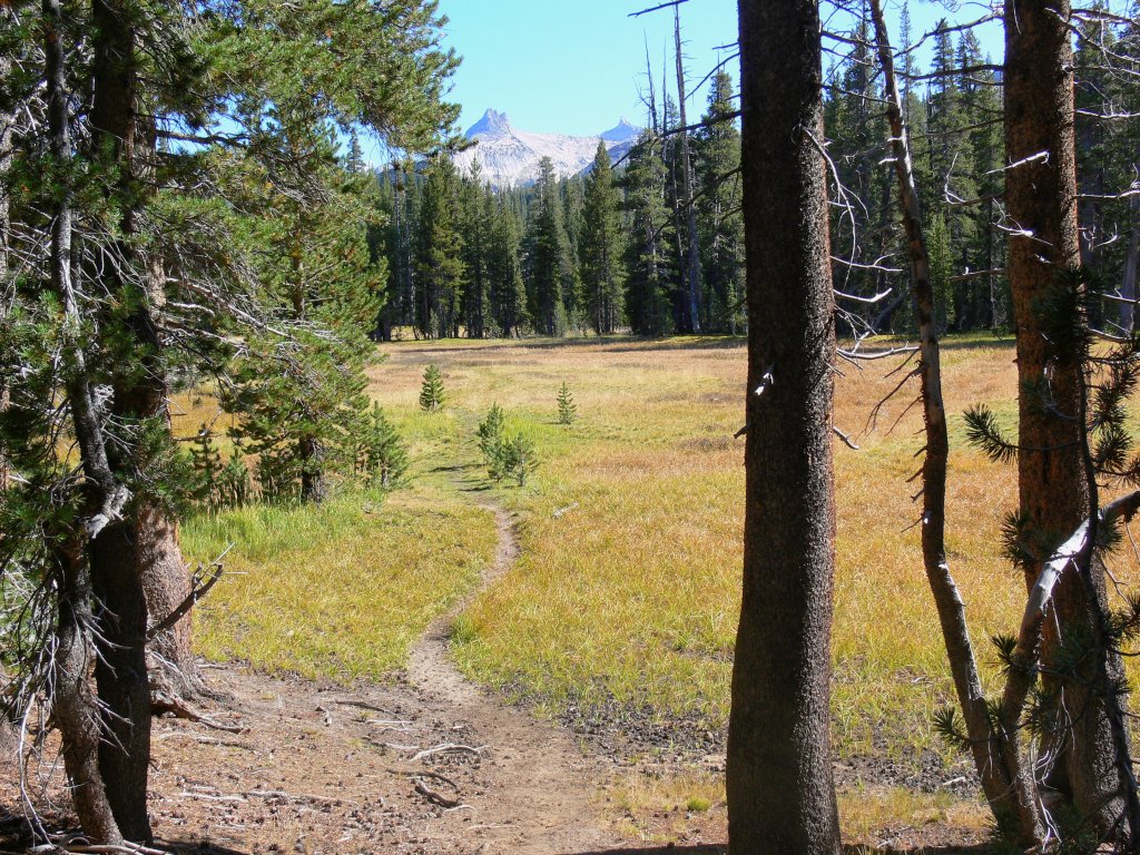
The river heads back to the meadows
At the edge of a big open space the river circles well around to the right, while the trail veers left to avoid this sometimes soggy area. Today, however, the ground is mostly firm and dry; so I head directly north across the meadow for the better part of a mile. Although virtually all the flowers have disappeared, one that I do find is new to me and unique to these environs.
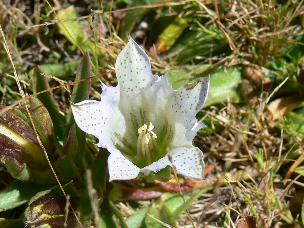

Tioga Gentian
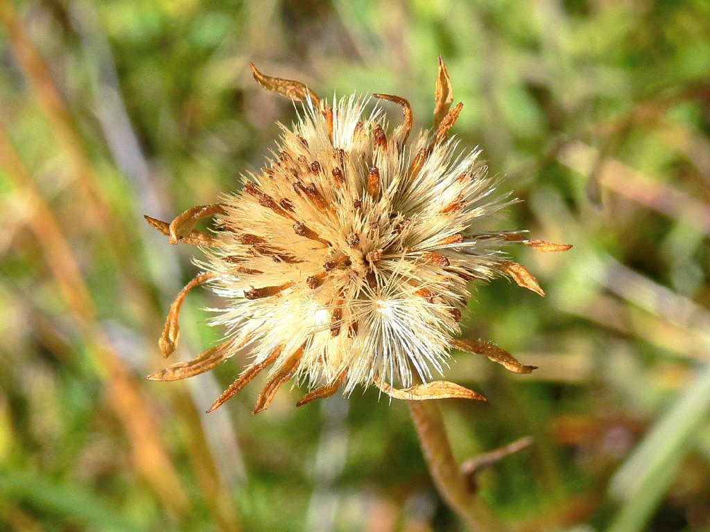
Stinking Fleabane
A 50-yard stretch of hands-on scrambling beside the creek brings me to a wide, slanted granite slab. Other writers have commented that this section is dangerous early in the season, because much of the rock surface has been worn quite smooth by glacial action. At high water, a slip into the raging torrent here could indeed be fatal. I feel, however, that with decent boots and reasonable care on dry rock, passage could be negotiated. In any case, one probably could detour along the top of the cliff as a safety measure.
Just around the corner is a formation known as Little Devils Postpile, being
comprised of basalt columns matching those of its famous counterpart in the
national monument near Mammoth Lakes. This relatively erosion-resistant
core, or plug, is all that remains of a small volcano which last erupted 9.4
million years ago.
The dreaded granite slab
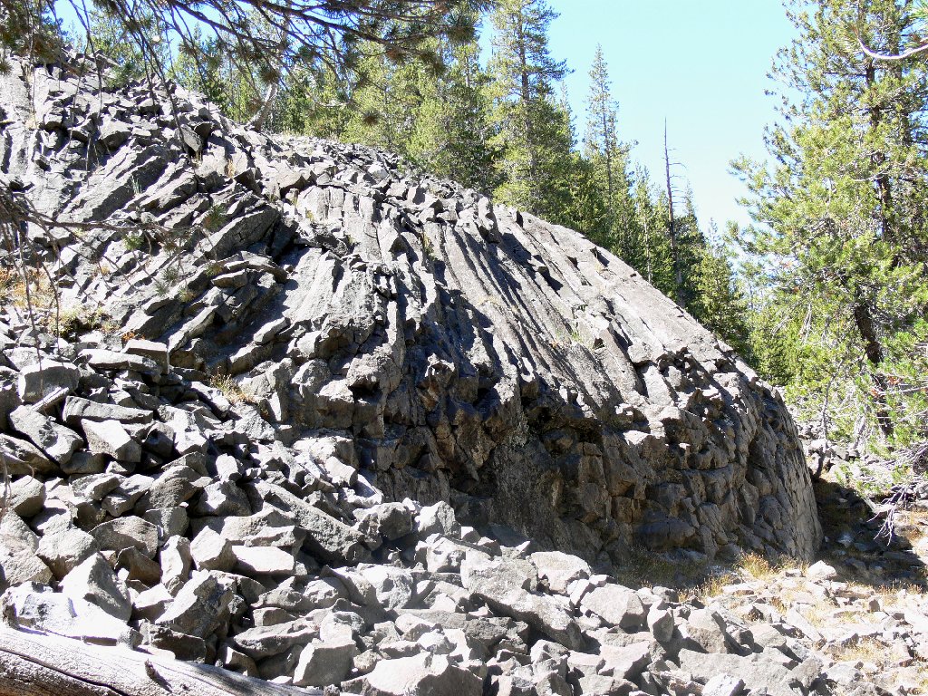
Little Devils Postpile
Right here the river enters a pretty little square chute. Doubtless I could get a better photograph of the postpile from across the way, but getting over there would be a challenge.
The fearsome slab looms in back
A quarter-mile walk, including another section of Class-2
scrambling, connects me with the Pacific Crest Trail.
PCT dead ahead
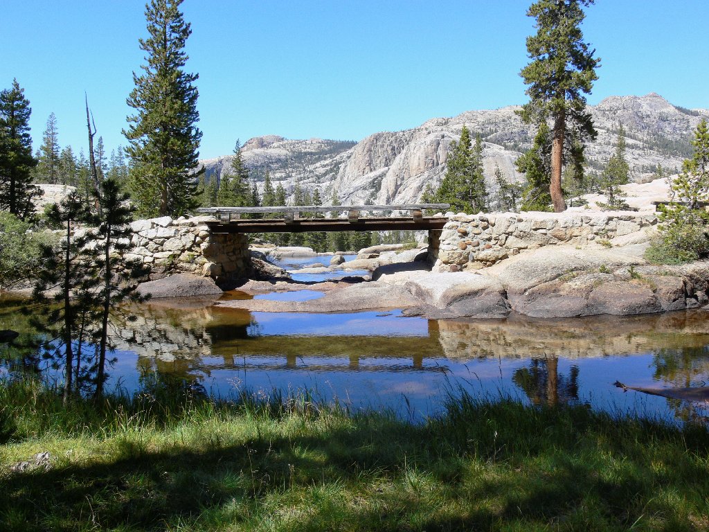
This bridge more or less demarcates the northern terminus of Tuolumne Meadows and the beginning of the Grand Canyon of the Tuolumne. The PCT, being a flat stroll from the highway to this junction, begins to head downhill in earnest. Within twenty minutes I encounter a spectacular waterfall which, from prior research, I knew was waiting for me.
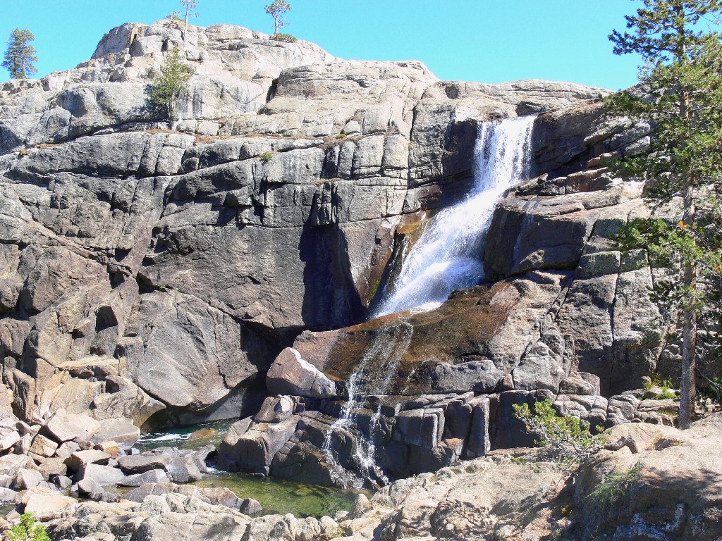
Tuolumne Falls
From here, it is half a mile farther to White Cascade; just beyond that is
the Glen Aulin High-Sierra Camp, a perfect base for a four-mile
hike down the canyon to California Falls, LeConte Falls, and the renowned
Waterwheel Falls. Being one of five such facilities in the park that are
inaccessible by road, reservations at the camp are available by lottery only.
The Scottish name "Glen Aulin" is properly pronounced "glee-an
oh-lain"; but if you say it that way to others, they probably won't know
what you're talking about.
I have this place entirely to myself today
Being somewhat surprised, however, that I have made it this far with so relatively little effort, I am content to remain in these special environs for about an hour. Downstream attractions will be saved for a subsequent visit.
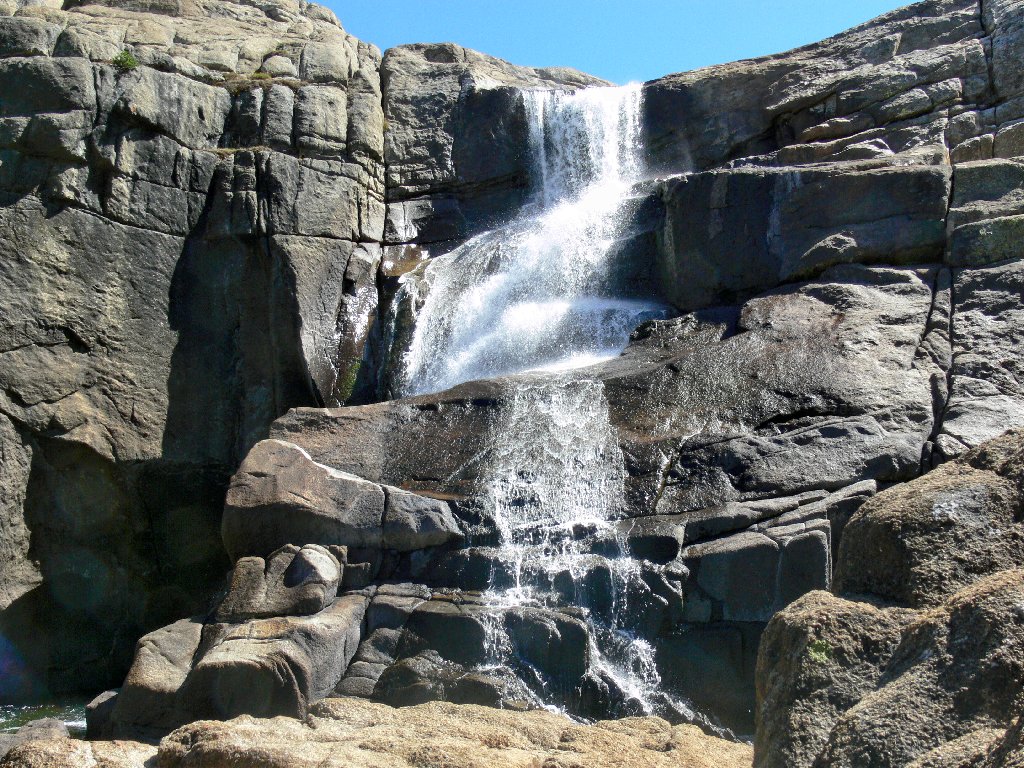
These falls at the bridge have no name
On the return route, two skinny-dippers that I saw previously are no longer occupying the big beach. I opt to remain on the trail this time, although I briefly lose track of it twice in the forest.
The swimmers have left the area
Mellow going
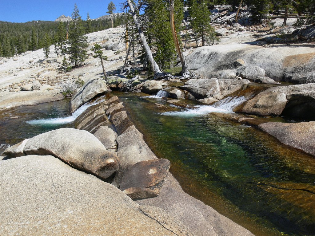
As the river reappears beside the trail, I cannot pass up another shot of my little Stairstep Falls.
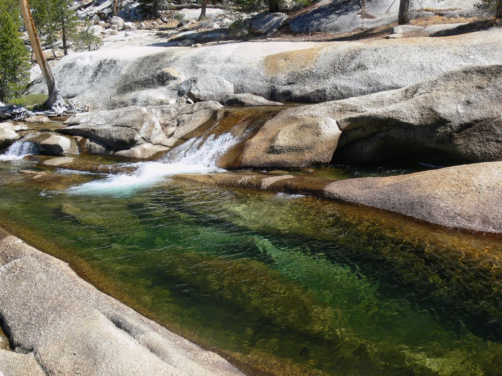
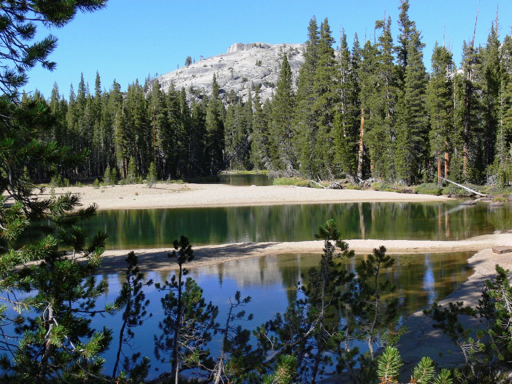
The emerald pool looks so inviting
Since it is fairly late in the afternoon, some good photographs ought to be available from any high point. To that end, I ascend Pothole Dome a second time. My efforts are rewarded, and as before I have the entire hilltop to myself.
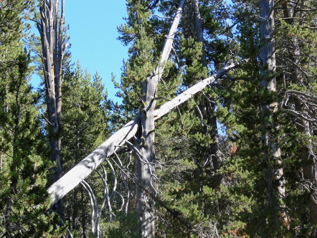
A big cross to bear

Boulder field on the dome
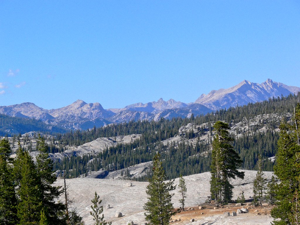
The northern park boundary
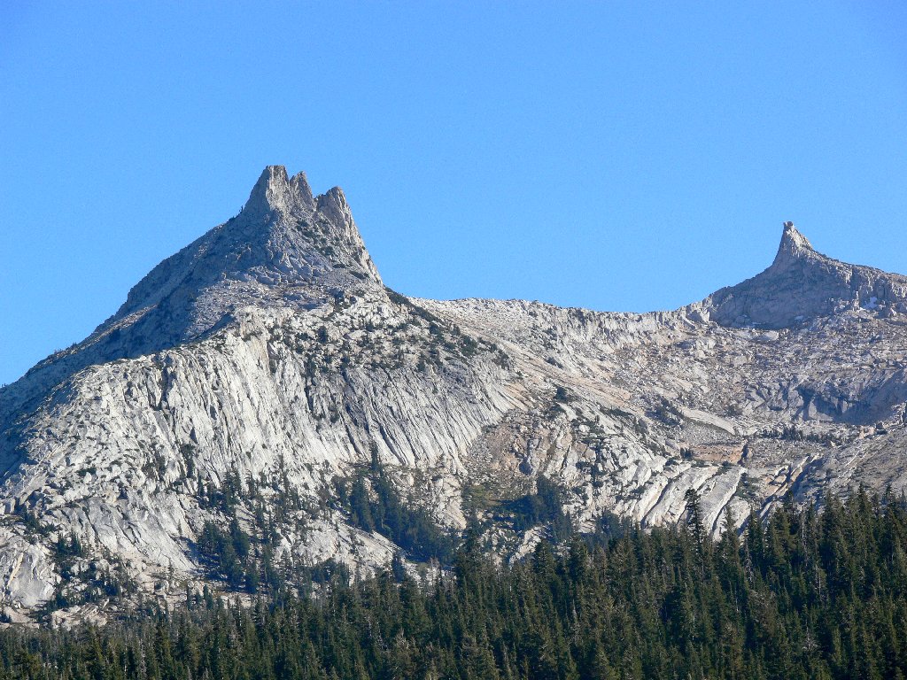
Unicorn Peak and Cockscomb
A second circuit of the fragile meadow concludes my journey.
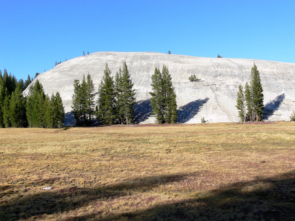
Pothole Dome
§: This wonderful adventure will be repeated, most assuredly; in fact,
I have submitted a lottery application for two nights at Glen Aulin next summer,
where meals and a bed are provided. About all that I would need to carry would
be my day-hiking stuff plus a toothbrush. I might actually get to visit
Waterwheel Falls after all!
For those interested in saving some walking distance to Glen Aulin and beyond, today's trail was more than a mile shorter each way than the distance from from the PCT trailhead at Soda Springs, near Lembert Dome. I believe that another two round-trip miles could be saved by starting from roadside directly west of Pothole Dome, and I remember passing a junction to a use trail over there as well. Admittedly, backpackers might take some issue with the two rougher sections or the potentially slippery slope of granite; but that is the route that I might use.
| Scenery |  |
| Difficulty |  |
| Personality | |
| Adventure | |
| Solitude |  |
