
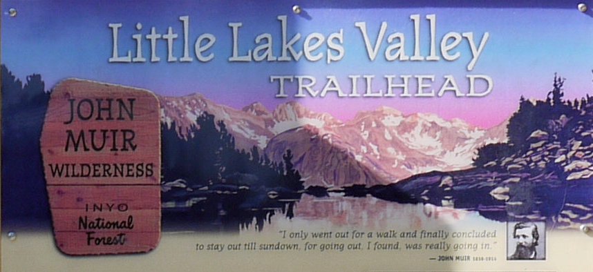
John Muir Wilderness
|
Little Lakes Valley John Muir Wilderness |
August 10, 2009
It was just a week ago that I traveled this same route over Echo Summit and
Luther Pass on my way to Ebbetts Pass. Today, however, with my bride in
tow, we veer from Markleeville over the lovely Monitor Pass to US-395,
my favorite road and gateway to the world's best hiking.
From our motel in Mammoth Lakes, it is about 25 miles southward to
the Mosquito Flat trailhead at 10,250' elevation (that's according to my topo
maps and Google Earth, although many blogs specify otherwise). In any
case, this is at the same time the highest paved road in California and the
highest trailhead in the Sierra.
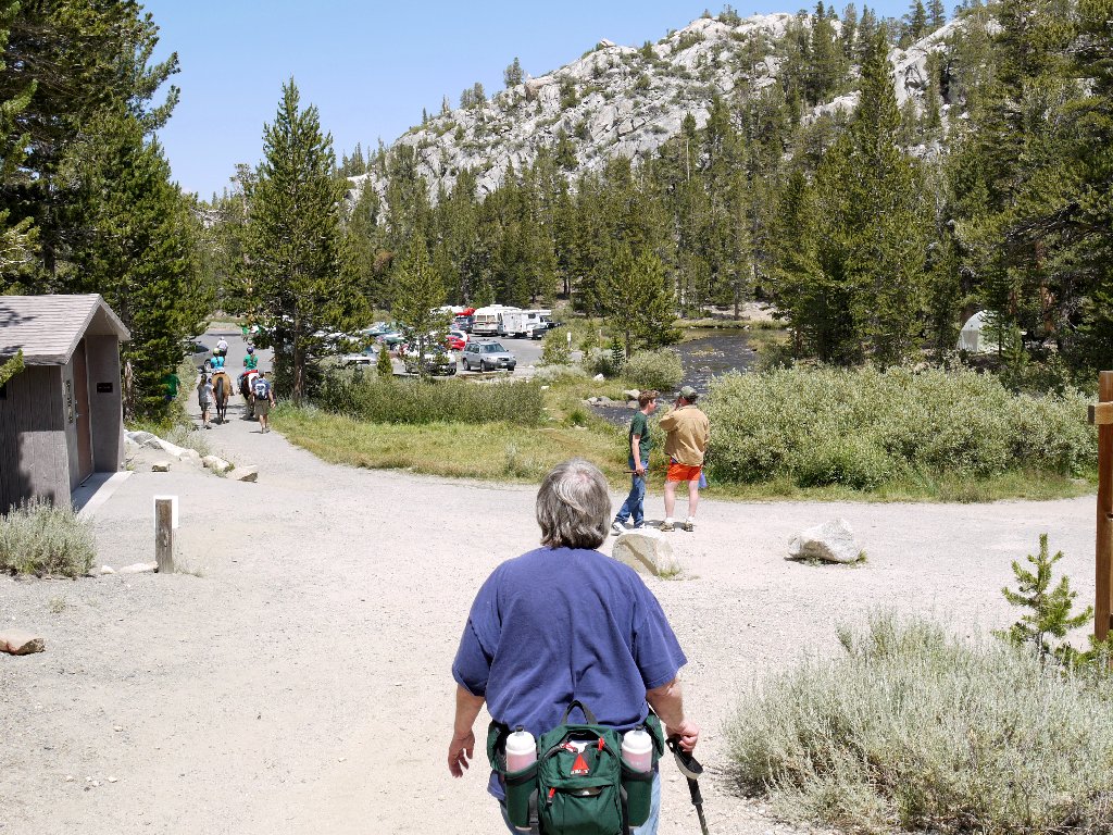
It also is the most popular trailhead in the Sierra. Being aware of
that fact, we head out early on a weekday, reaching the main parking area before
9 a.m. For latecomers, the overflow lot is a quarter of a mile away,
with parking disallowed in between. It is a gorgeous, cloudless
60 degrees as we begin our trek. A slight breeze compels me to put
a light shirt in my pack, although I don't expect to need it.
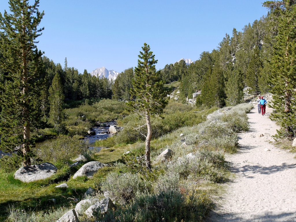
Inspiring sentiment
A lot of runners are on the trail as we start out. There were a couple of foot races in Mammoth Lakes yesterday; it seems that some of their participants are out sightseeing today.
Marathoners on the trail

Water Hemlock
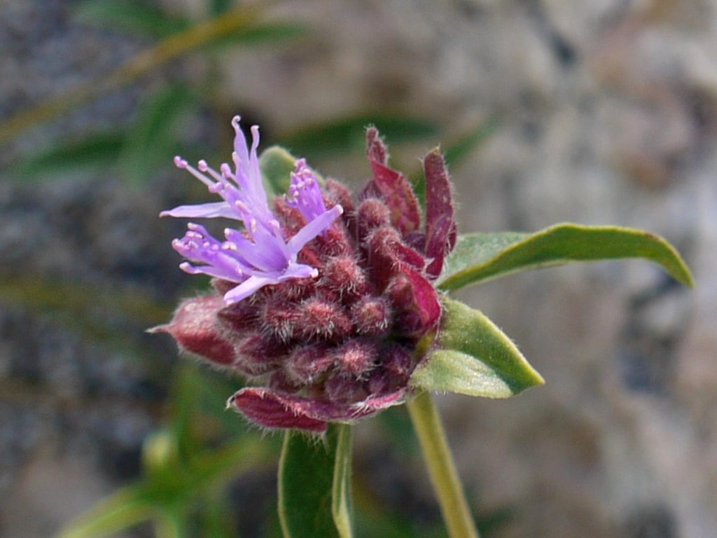
Pale Monardella
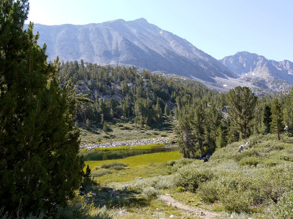
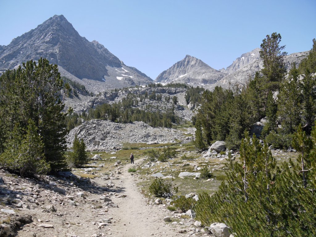
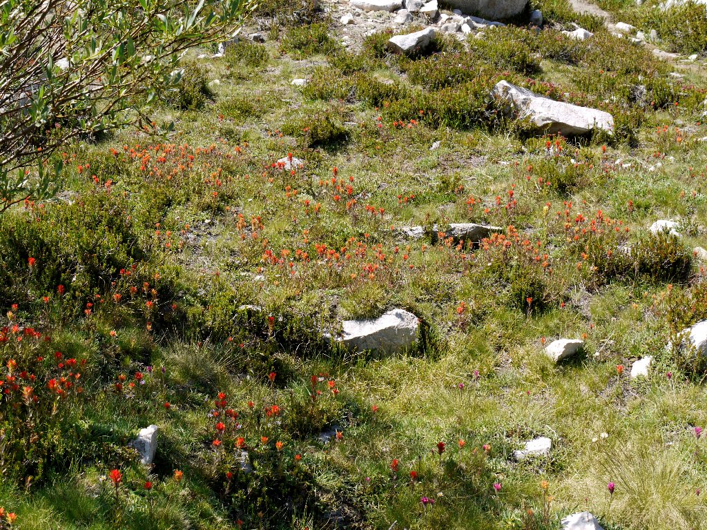
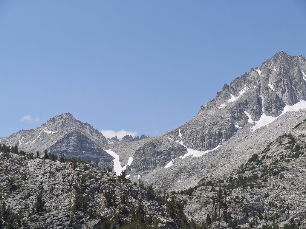
After just a few minutes of walking a grand vista appears, including several peaks in excess of 12,000 feet elevation.
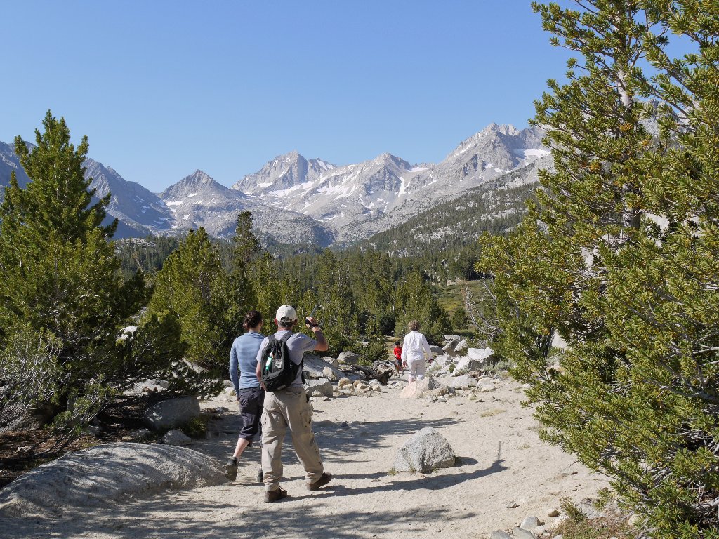
The Sierra crest comes into view
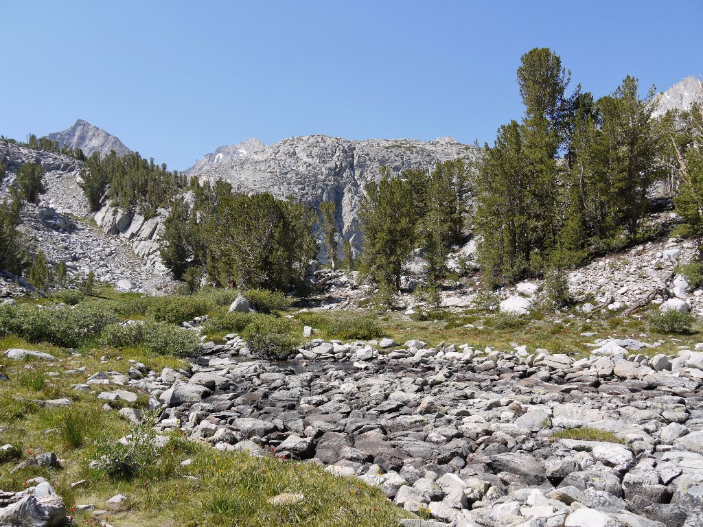
The trail is soft and sandy all the way, with stone steps built into the steeper sections. Unexpectedly, the route does not closely follow Rock Creek; instead, short spur trails lead to the various attractions.
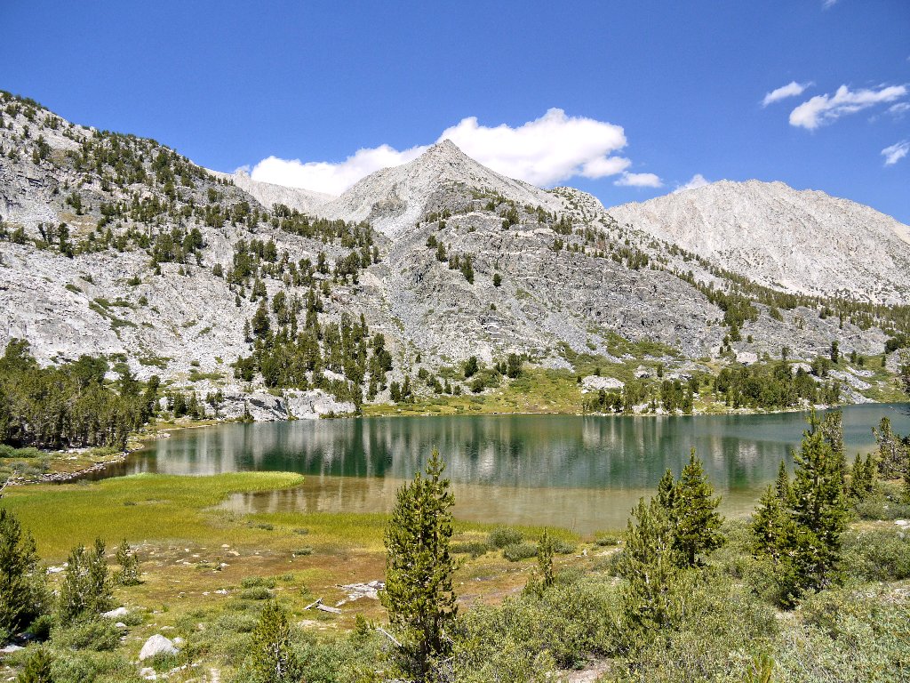
Mack Lake and Mount Morgan South, 13748'
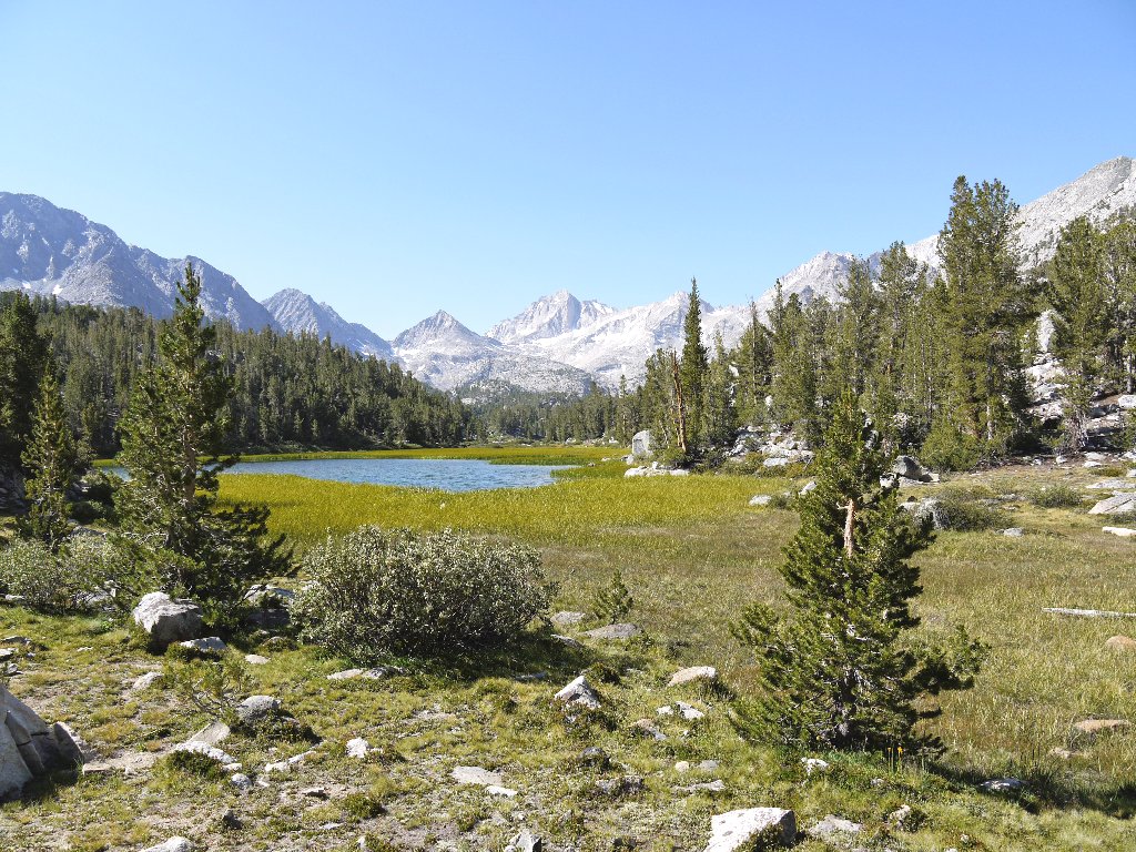
Marsh Lake
As planned, I drop Barbara off at Heart Lake (which seems somehow appropriate), together with her puzzle book and bridge hands to help pass the time as I explore further.
Approaching Heart Lake
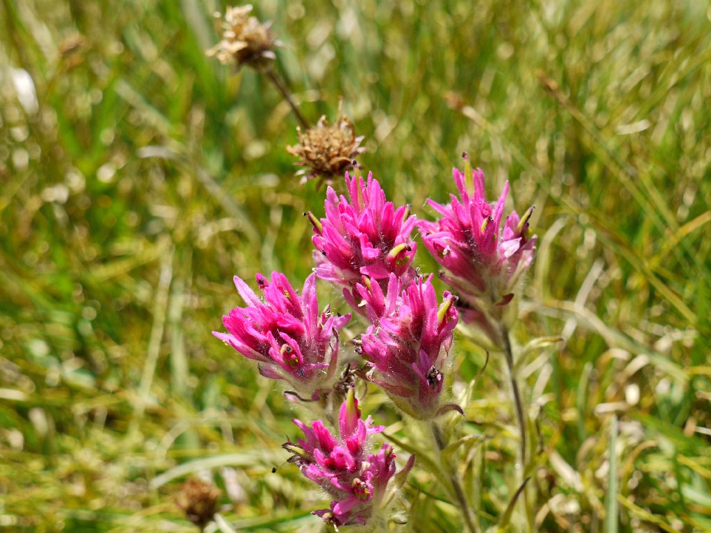
Lemmon's Paintbrush
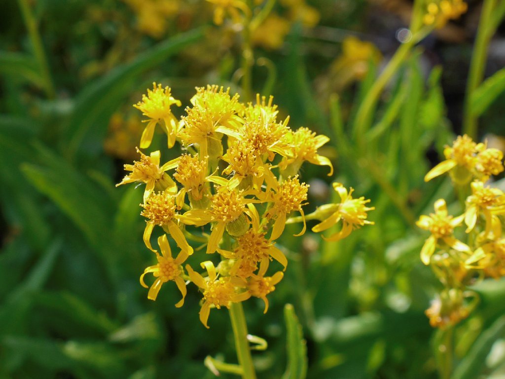
Mono Groundsel

Ruby Creek meets Heart Lake
Apparently recalling this portion of the trail from my only other visit here
some twenty-five years ago, I incur feelings of déjà vu while skirting
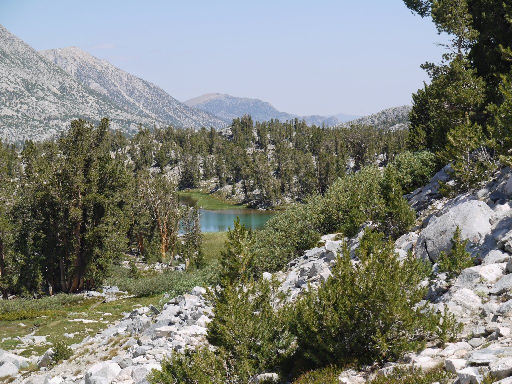
the eastern shore of Long Lake.
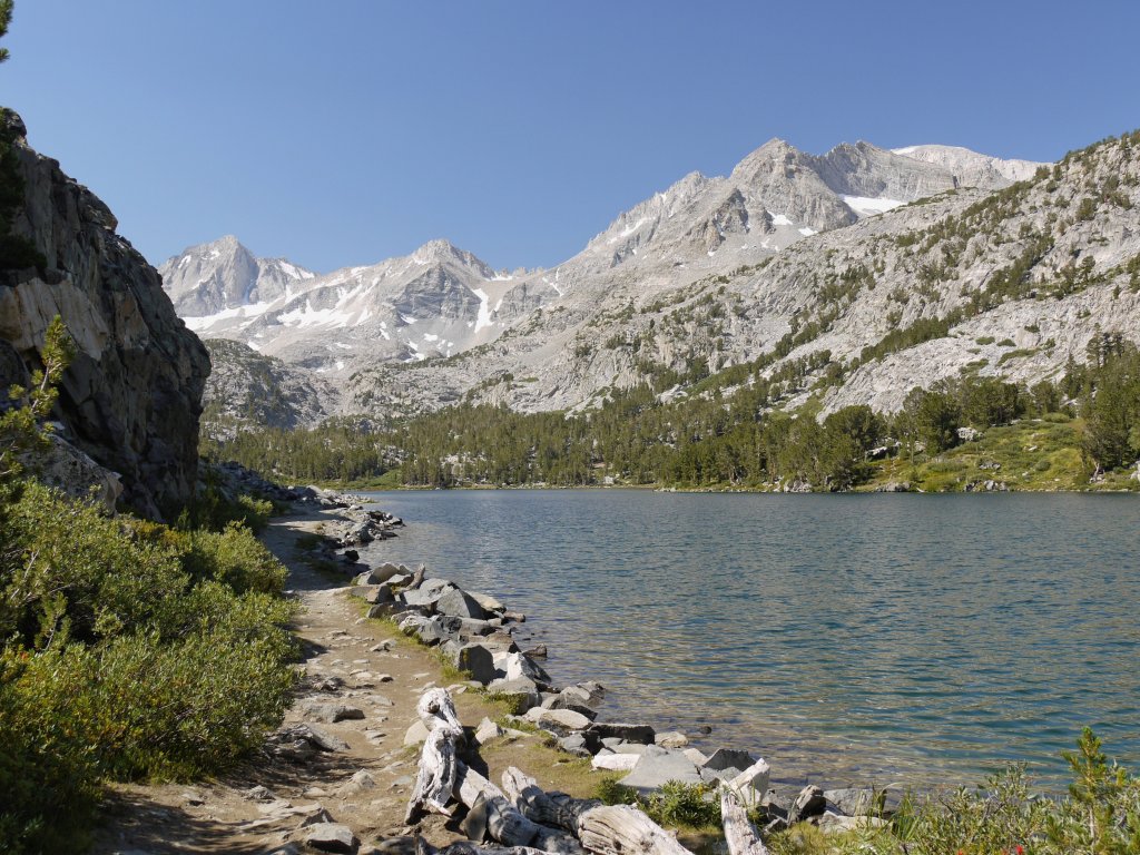
Long Lake
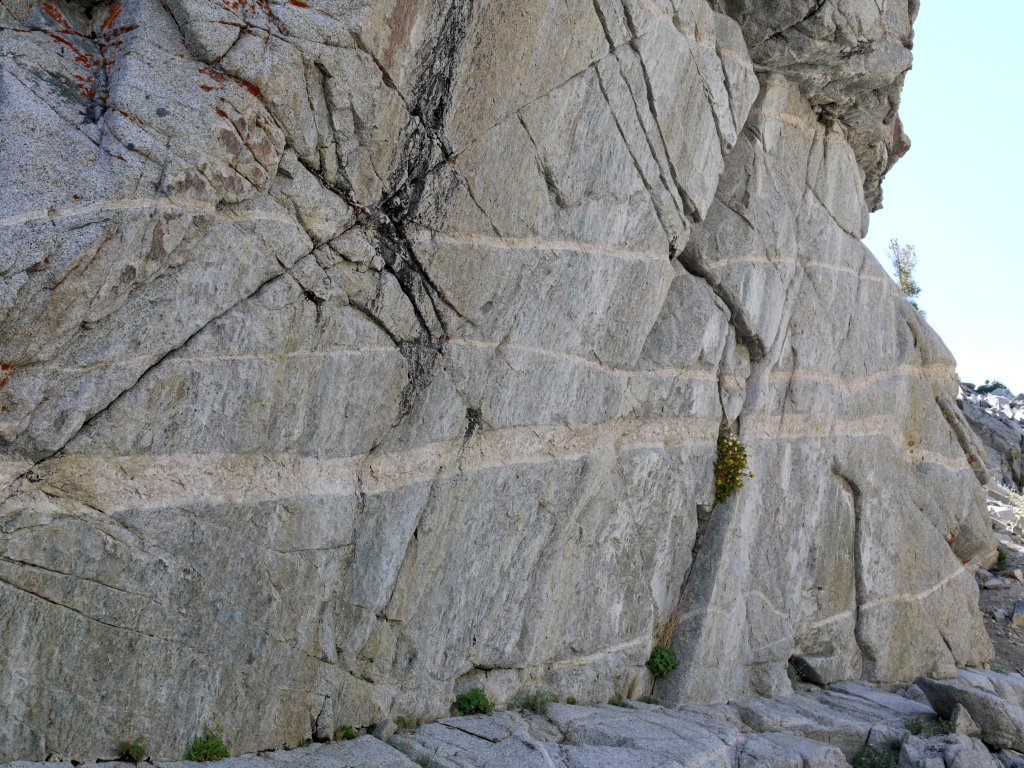
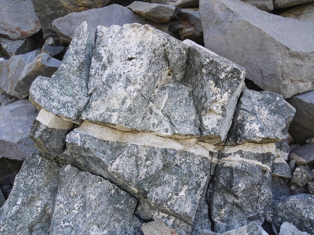
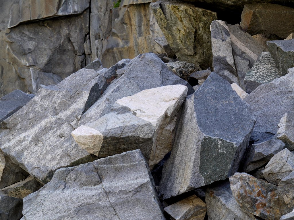
Interesting geology abounds
From here, a steeper section of trail leading toward Morgan Pass is shared only by fellow amateur photographer Ed from the southern end of the state. It is clear that most visitors do not venture this far up the trail. At the next junction I veer right toward Gem Lakes.
Peak 12782, and Pyramid Peak, 12866'
At the Morgan Pass-Gem Lakes junction
Lower Gem Lake
It takes a while to find it, but I finally have reached the hoped-for
Garden of Eden, with water, flowers, and soft grasses everywhere. This is
a feel-good place. Four other hikers presently are under its spell.
Paintbrush garden
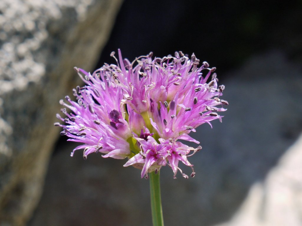
Pacific Mountain Onion
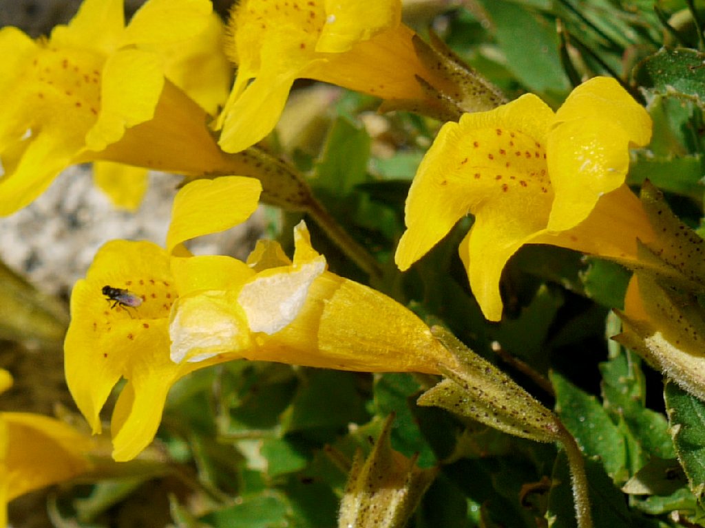
Monkeyflower
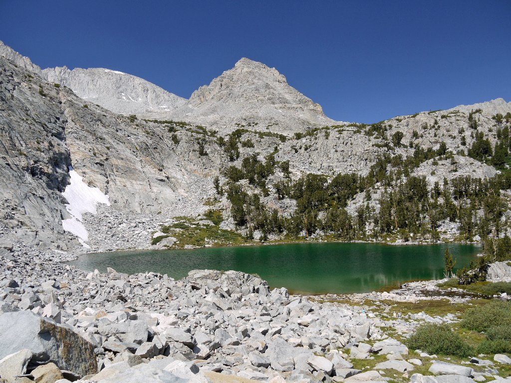
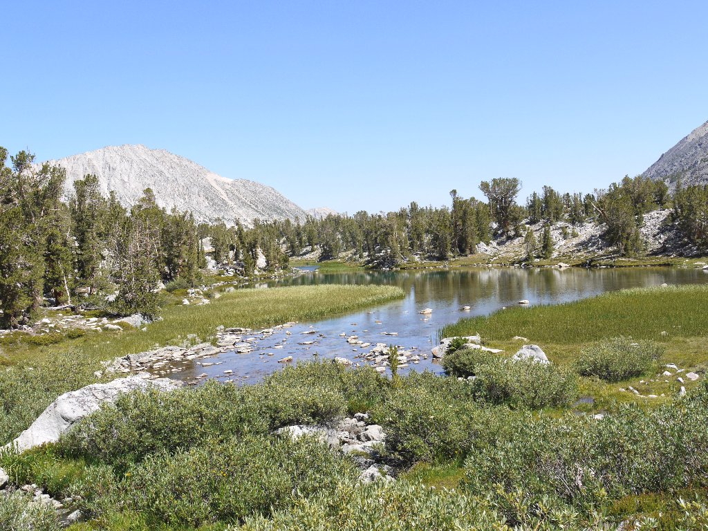
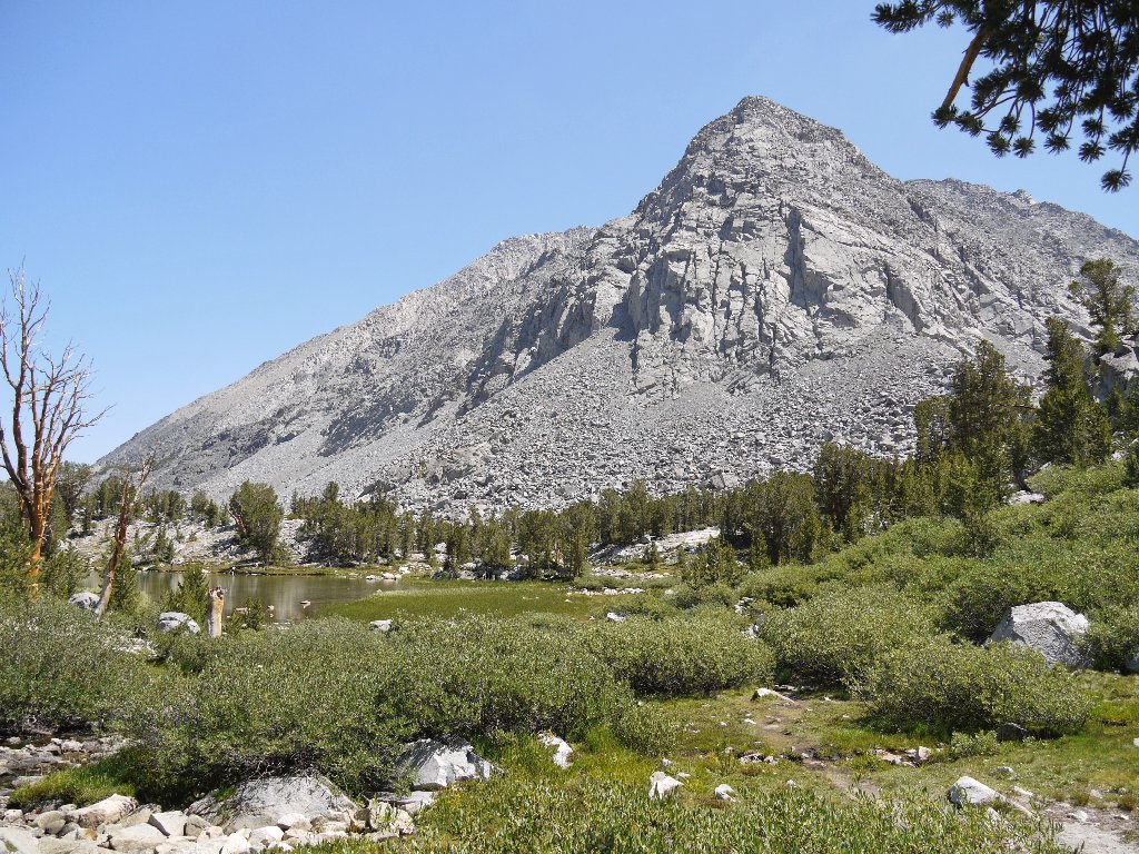
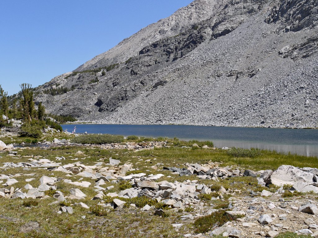
Emerald-hued Upper Gem Lake at 10940'
There actually are several Gem Lakes; but only two are particularly noticeable
without wandering off the obvious trail. My altimeter says that I am a bit
shy of 11,000 feet, so I scramble up the nearby talus slope just far enough
to achieve that dubious milestone.
From my perch at 11,000 + 10 feet
Peak 12782
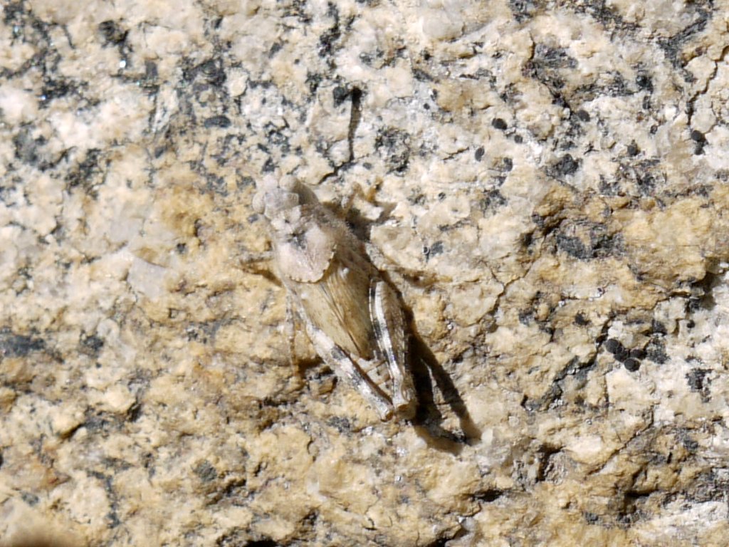
The ultimate in camouflage
Across the upper lake is a 300-foot cliff that looks eminently surmountable. On its far side are the elusive Treasure Lakes, from which I could scramble downstream to the main trail; I really would like to see them.
Upper Gem Lake and Treasure Peak, 12920'
I decide to forgo that option, however, because it might entail as much as an extra hour's effort, and it already has been an hour and a half since I left my erstwhile companion to her patient studies. Resolving not to miss the Treasure Lakes on my next visit, I start back.
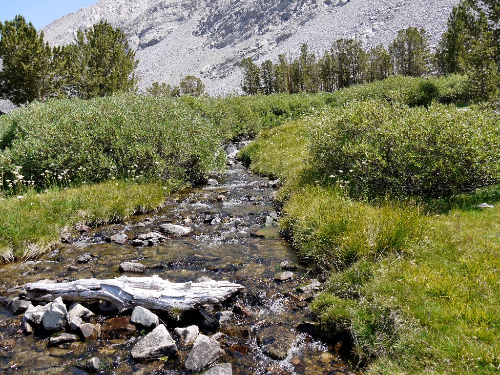
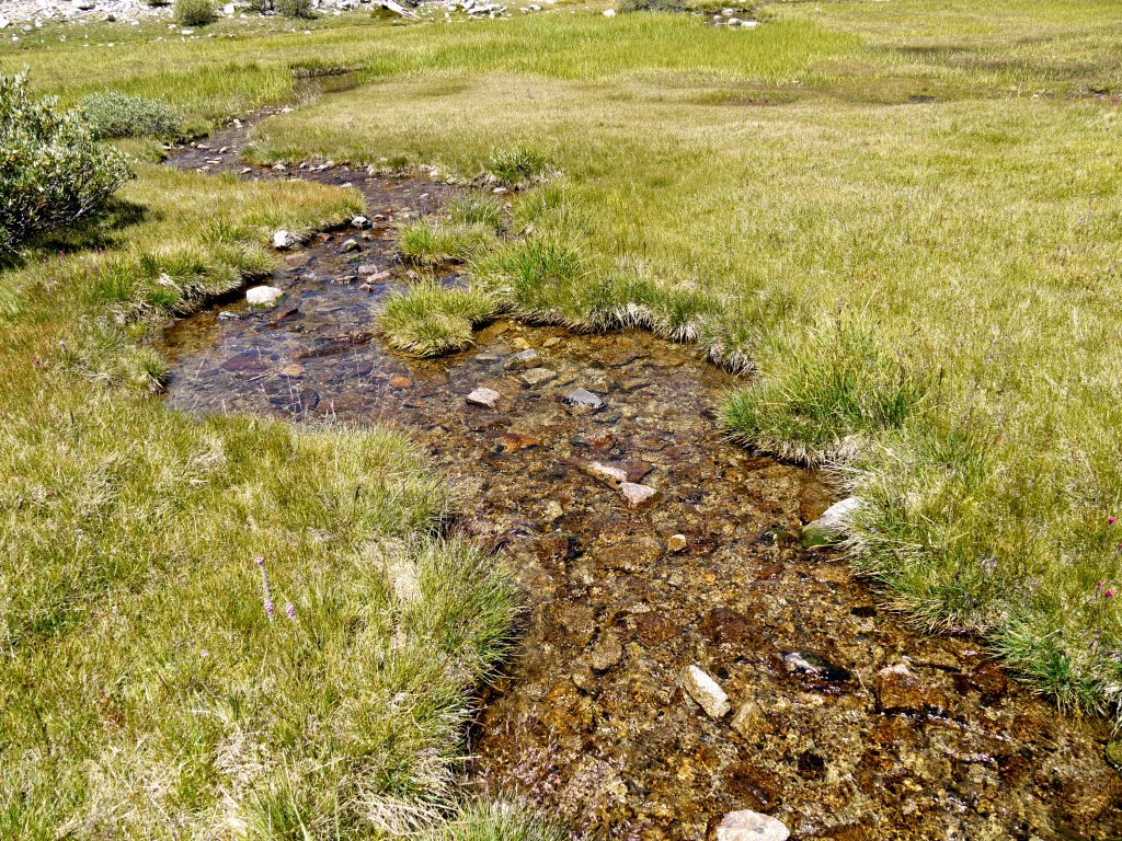
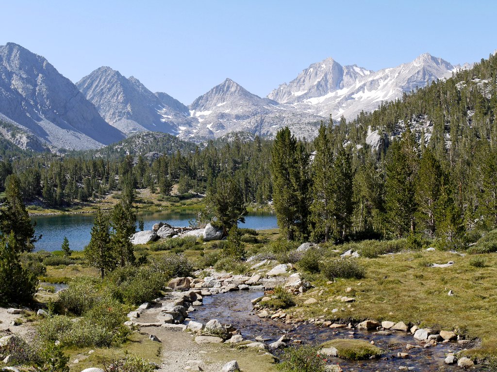
Ubiquitous Rock Creek, above and below the trail
A detour from the main path is necessary in order to see Chickenfoot Lake,
the name of which is understandable only by viewing the area on a map.
Fishers and book-readers alike have carted lawn chairs all the way up here.
A corner of Chickenfoot Lake
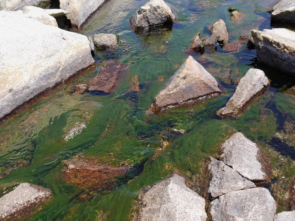
Moss in the outlet stream
The anticipated afternoon clouds have arrived, adding interest to photographs. The skylines are looking better and better.
Pipsqueak Spire, 13268', Pipsqueak Pinnacles, and Mount Dade, 13600'
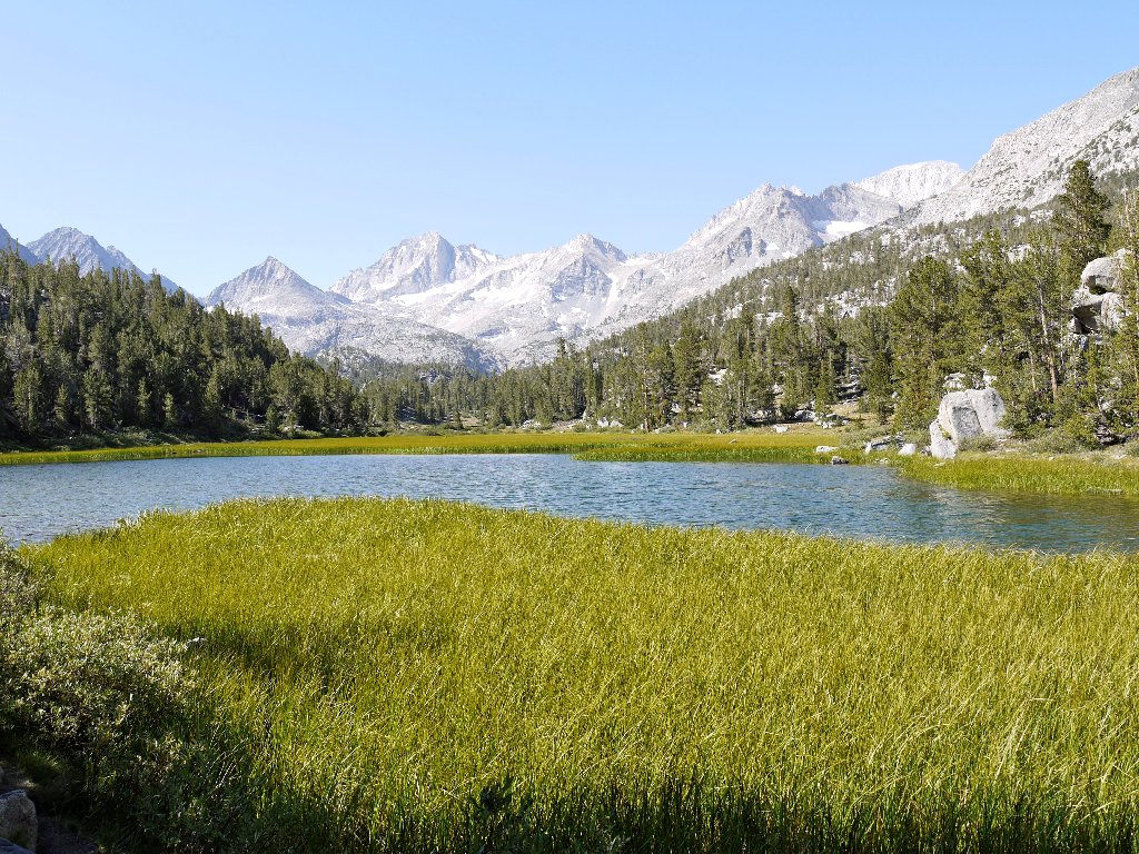
Long Lake and Mount Starr, 12835'
I must not ignore my floral friends — especially a variety of columbine that is new to me.
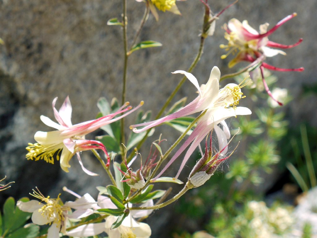
Coville's Columbine
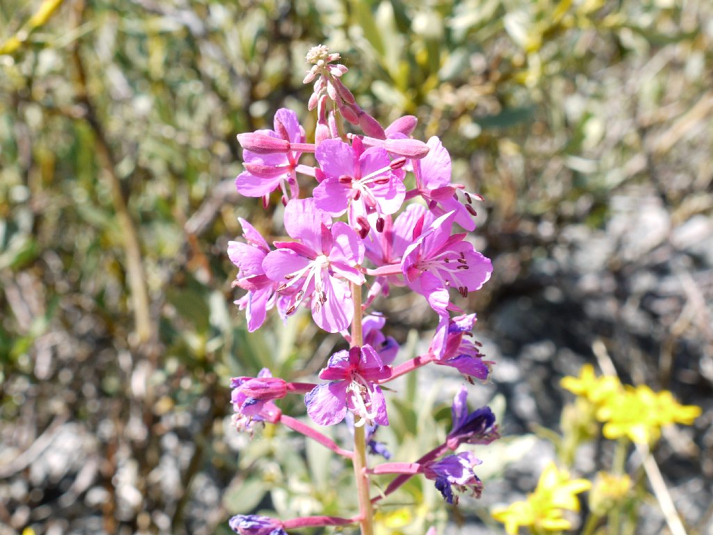
Fireweed
Mountain Pride

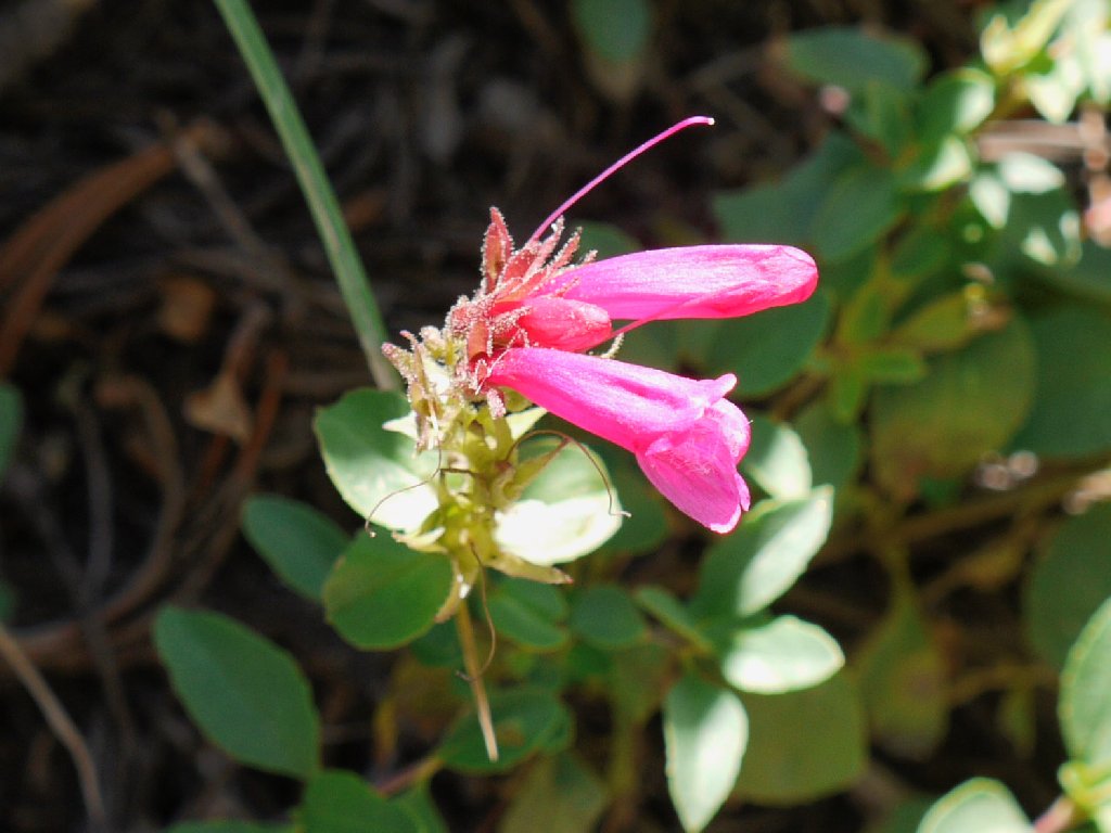
Sierra Penstemon
I knew that a couple of equestrians were lurking about, having previously encountered a number of steaming piles on the trail.
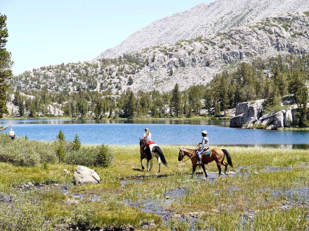
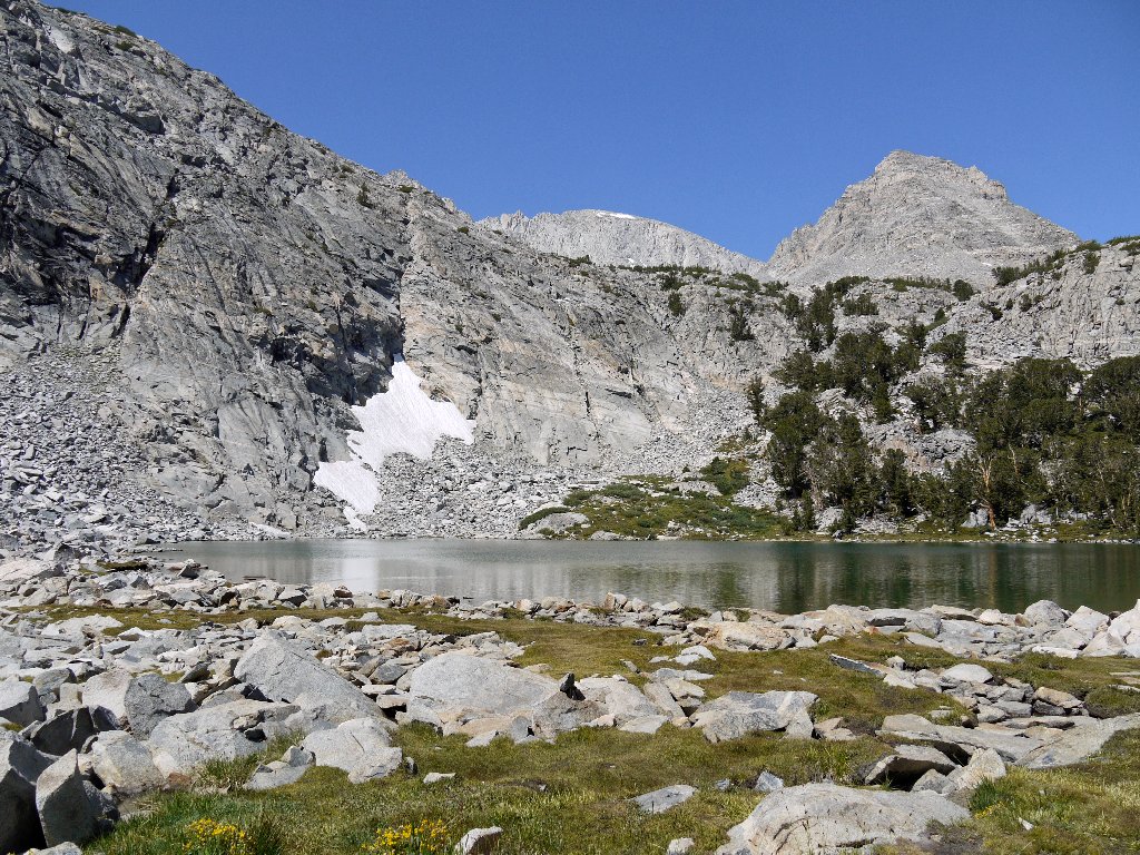
At Box Lake
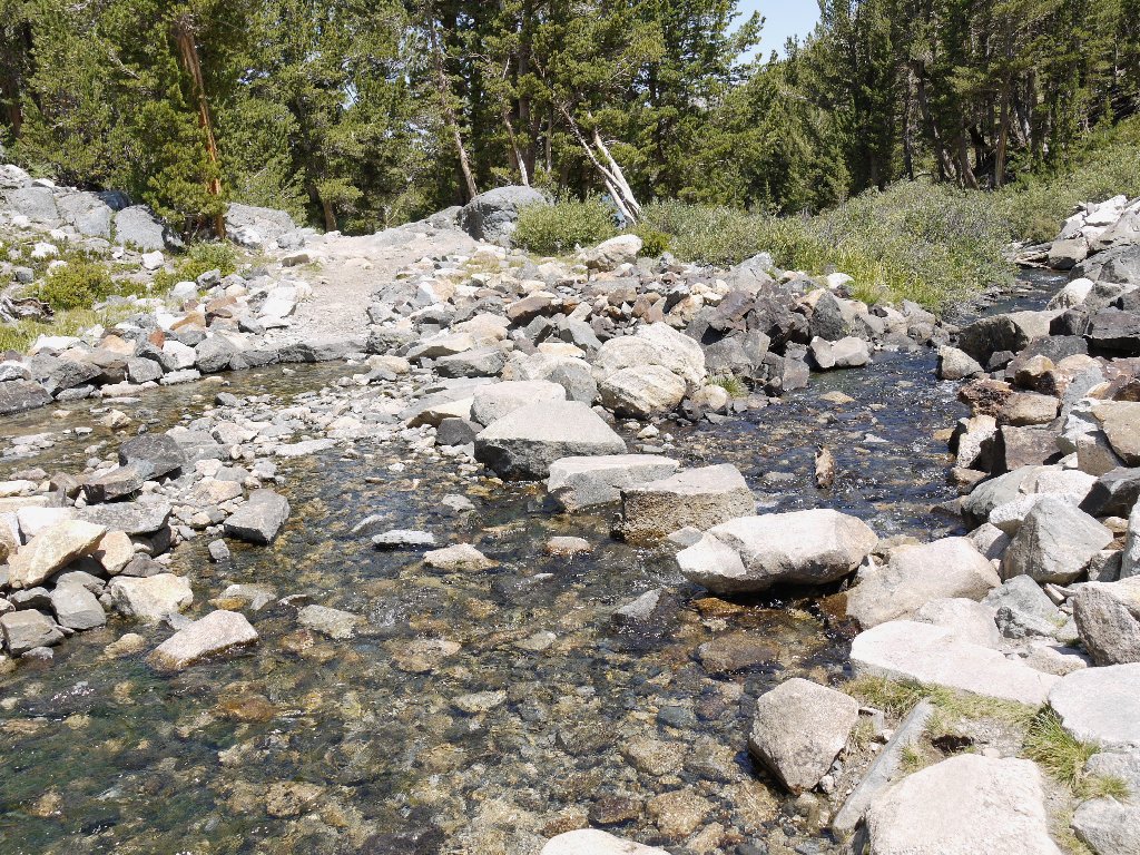
One of several crossings
After retrieving my sweetie at Heart Lake, we finish up by heading down the final slope known as Crankcase Grade, so named because it was a treacherous auto road in the early 20th century. A hiker compliments me on my "sheep shirt", but I must correct her; for today's attire features my special Glacier Park Mountain Goat!
Marsh Lake reprise
It is warming up now as we reach the parking lot, to a whole
70 degrees! I'm glad that we got an early start.
Back at the trailhead
§: Today's route, ridiculously easy to walk, traversed a chain
of eight lakes. Twice that many more are readily accessible via
cross-country exploration, and there are other trail options as well.
Day-hiking simply doesn't get much better than in Little Lakes Valley.
| Scenery |  |
| Difficulty |  |
| Personality |  |
| Solitude |  |
